A Summer Plan That Never Happened
This summer (2025), we had planned an epic long-distance walking journey that would stretch over more than two months.
In theory, it was going to give me material for at least 60 new blog posts.
The route would have taken us through places like Kofu, Takasaki, Kumagaya, Nagano, and Chita — basically a hall of fame of Japan’s record-breaking heat spots.
And the timing? Mid-July through mid-September.
All in the past tense.
Because the plan stayed just that— a plan. We did try to make it happen, but we were quickly defeated. Why?
Well… because it was just too hot. Way too hot. This summer, the entire Japan was boiling.
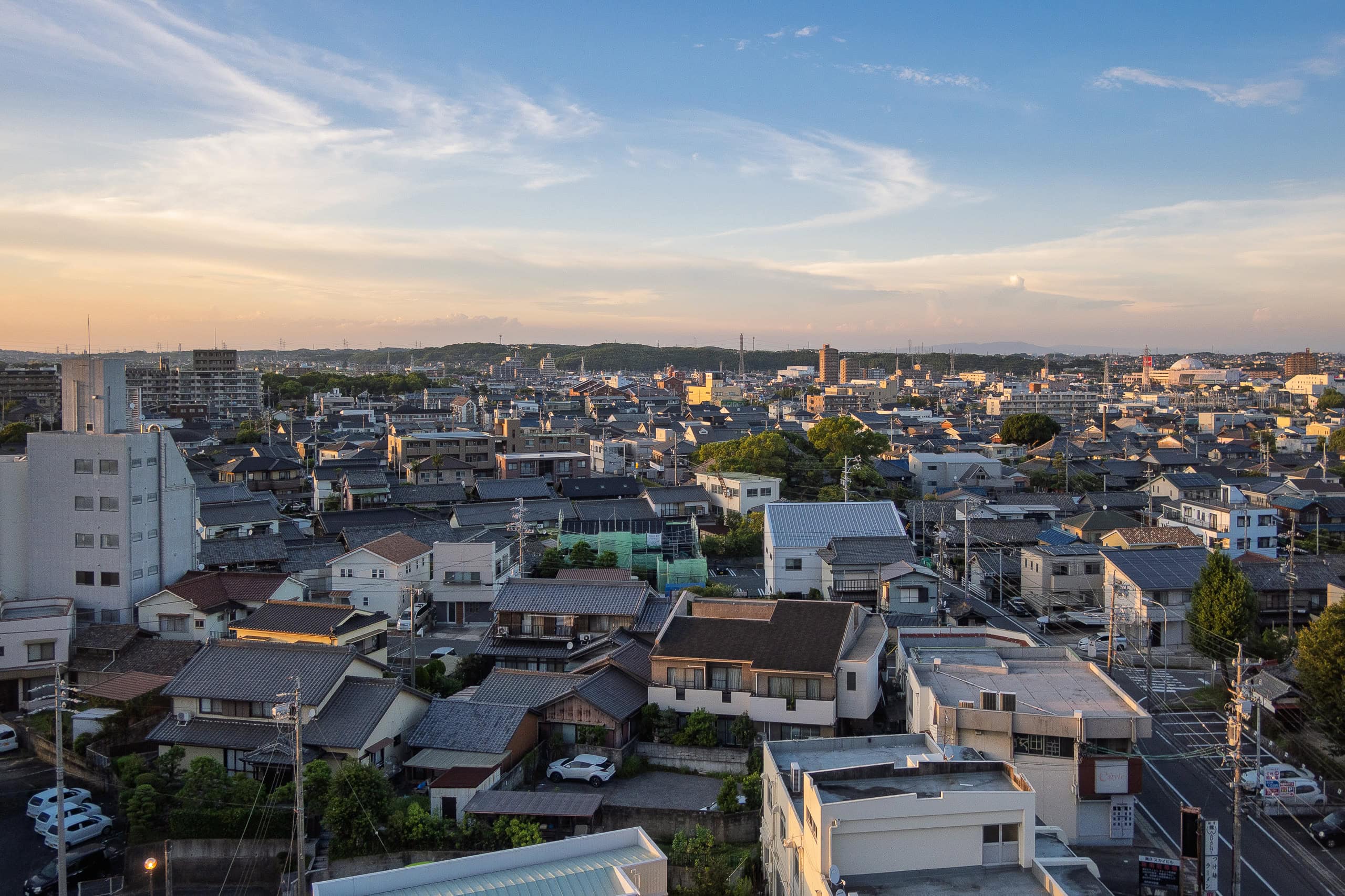
What blows my mind is that our home in Shikoku, which most people imagine as warm and humid region in Japan, actually felt lower temperature and much more comfortable than the cities. City heat is terrifying.
The grand plan was supposed to begin with walking the entire Chita pilgrimage 知多四国, one of the three historically popular “Ustushi Reijo 写し霊場 (copy pilgrimage) of the Shikoku pilgrimage.”
(Other two are Shodoshima pilgrimage 小豆島遍路 in the Seto Sea and Sasagri pilgrimage 篠栗遍路 in Fukuoka)
An utsushi reijo 写し霊場 is a pilgrimage route established as a ‘copy’ of a major pilgrimage such as the Shikoku 88-temple pilgrimage or the Saikoku 33-temple pilgrimage, both historic and highly revered routes in Japan.
These ‘copy’ pilgrimages were created so that people who could not afford the time, money, or difficulty of traveling to the original could still undertake a similar spiritual journey closer to home.
At the same time, opening such a pilgrimage was also an act of devotion — a way to show faith and religious dedication to figures such as Kannon Bodhisattva 観音菩薩 or Kobo Daishi 弘法大師 by providing new opportunities to worship them.”
We had everything ready: route set, maps and GPS loaded, daily schedules worked out, all the inns booked. I had even reserved two months’ worth of accommodations for the stages that would follow.
Of course, summer is hot — no surprise there. And the Chita pilgrimage route is almost entirely paved roads, no mountains.
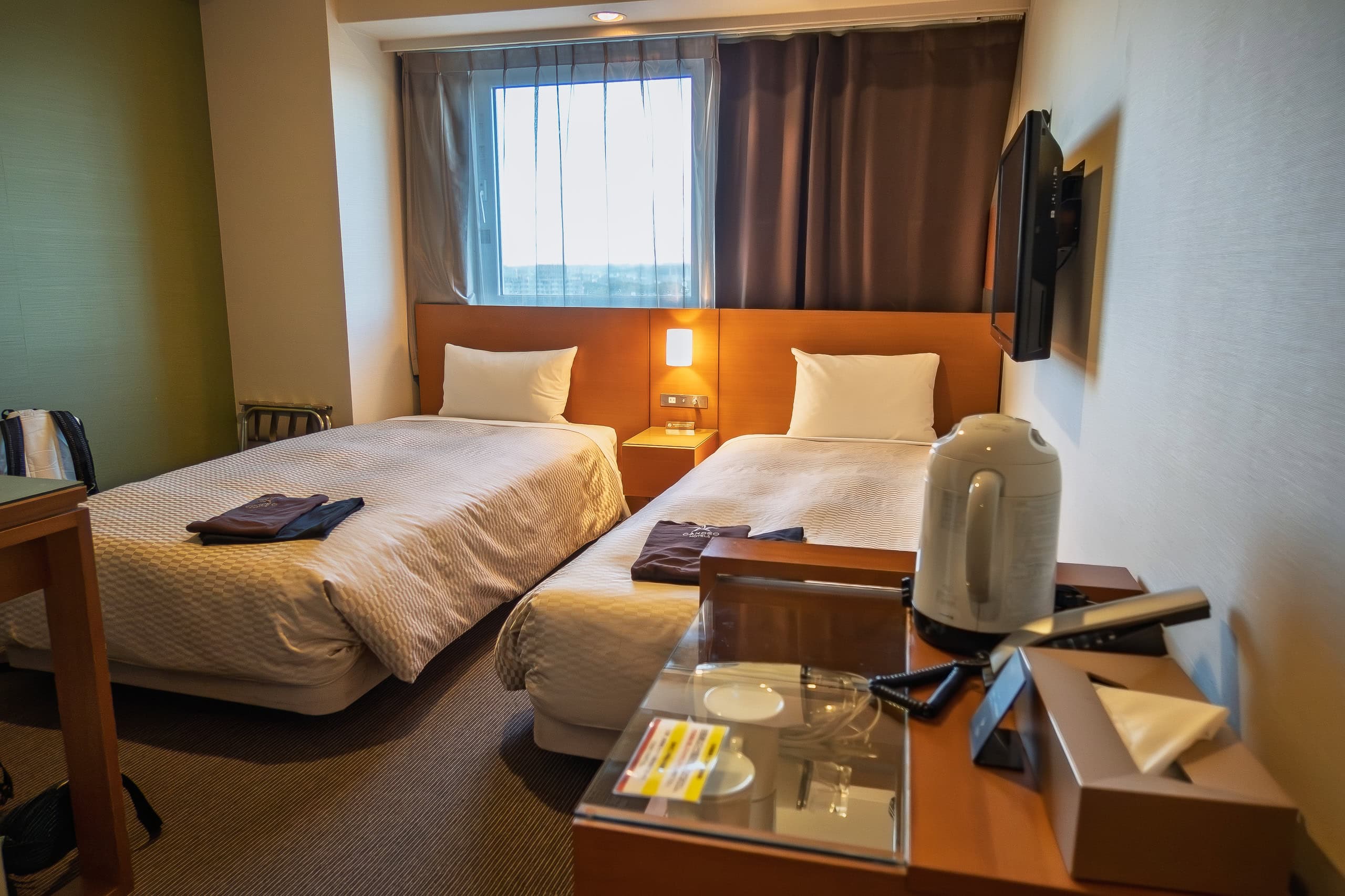
So we adjusted: shorter daily distances than usual, more breaks, finishing earlier in the afternoon. Since many spots along the route are near train stations, we arranged as many nights to stay as possible at same business hotels, so we’d only have to carry a full pack on the minimum number of days.
But despite all that preparation, the brutal heat of the Chita Peninsula in peak midsummer was like an elephant swatting away an ant. Our determination never even stood a chance.
(For the record: we actually pride ourselves on being pretty strong when it comes to heat.)
And that’s why there will be only a handful articles about the Chita pilgrimage.
Travel to the Chita Peninsula
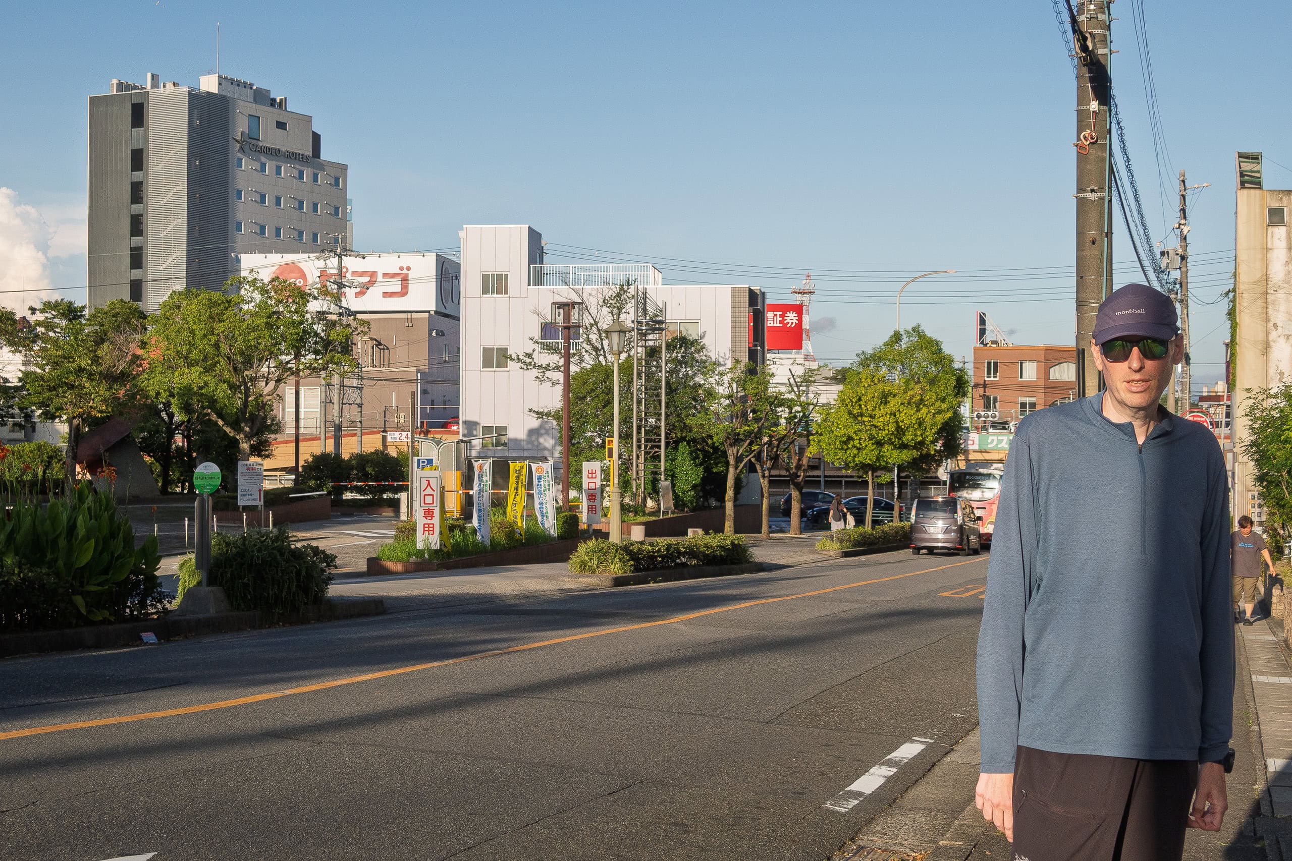
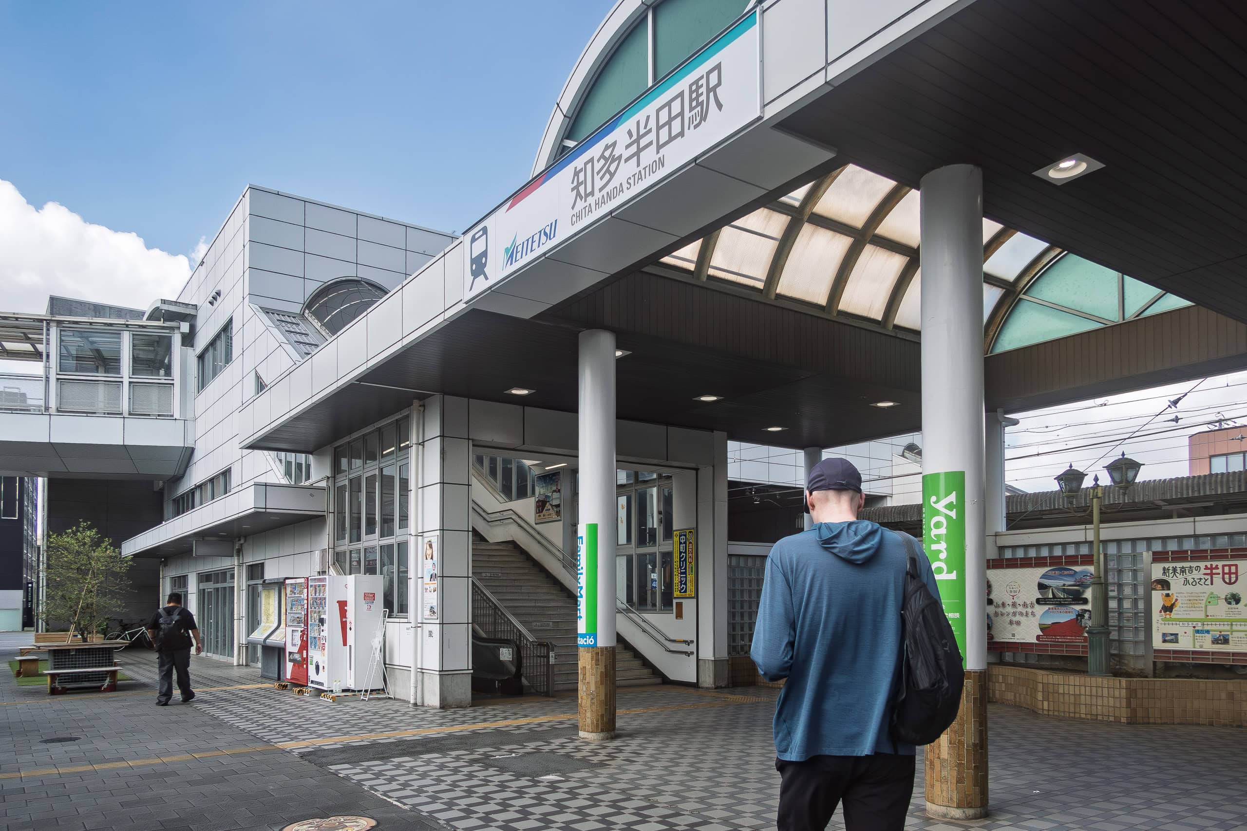
Two days before the start, we drove a rental car from Tokushima to the Handa Station area in Chita Peninsula.
If we had used only public transportation, it would have been a nightmare: from our house, a local bus (with only a few departures a day) → local train station to Tokushima → express train from Tokushima Station → another express across the Seto Ohashi Bridge from Takamatsu → Shinkansen (bullet train) from Okayama → then either Meitetsu or JR line train from Nagoya to Handa.
Way too many transfers, and way too much time.
There’s also the option of taking a highway bus from Tokushima to Osaka, but we always do our best to avoid long-distance buses no matter what it takes, for Erik’s body and health well-being.
When we add up the train fare for two people, even with the one-way drop-off fee for a rental car, the cost isn’t all that different — at least if we return the car the same day.
More importantly, with a car we don’t have to sprint through stations carrying heavy luggage, and we can stop to rest wherever and whenever we want. As long as we return the car before the deadline, there’s no need to stress about time.
We decided to take the day after arriving in Handa as a rest and prep day before actually starting to walk.
Erik, who works fully remote, always carries his laptop on our long-distance-hiking and keeps up with work while we travel. That was the plan for this two-month trip too. Since his clients are in Europe, the time zones work out nicely — while it’s daytime in Japan, they’re asleep or just waking up, so the overlap is minimal and convenient.
Even just walking around the hotel area to shop for food, we already felt the scary intensity of the heat. But at that point, we were still optimistic: “Eh, it’ll be fine somehow.”
Day 1 on the Chita Pilgrimage
“The Chita Pilgrimage was established in 1809 and consists of 88 temples dedicated to Kobo Daishi, arranged in a circuit around the Chita Peninsula in Aichi prefecture.
The full route covers about 194 km.
Walking the entire course typically takes 12–15 days. By car, it can be completed in 2–3 days, or as 3–4 separate day trips. This makes it one of the more accessible pilgrimage routes for beginners.
Pilgrims can also make use of buses or taxis, which provide convenient access to the temples.
The Chita Peninsula has many historic sites connected with Kobo Daishi, such as Shōzaki and Iwaya. Along the way there are also opportunities to enjoy local attractions, including seafood restaurants and accommodations.“
The Chita Pilgrimage Official Website
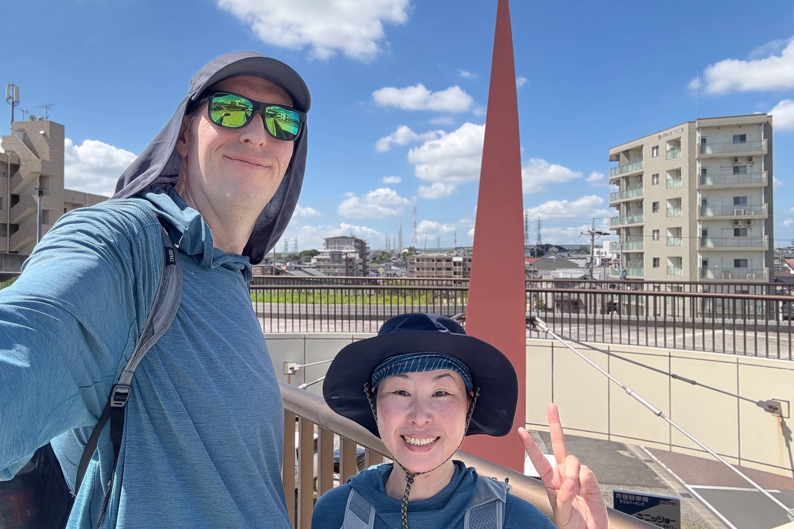
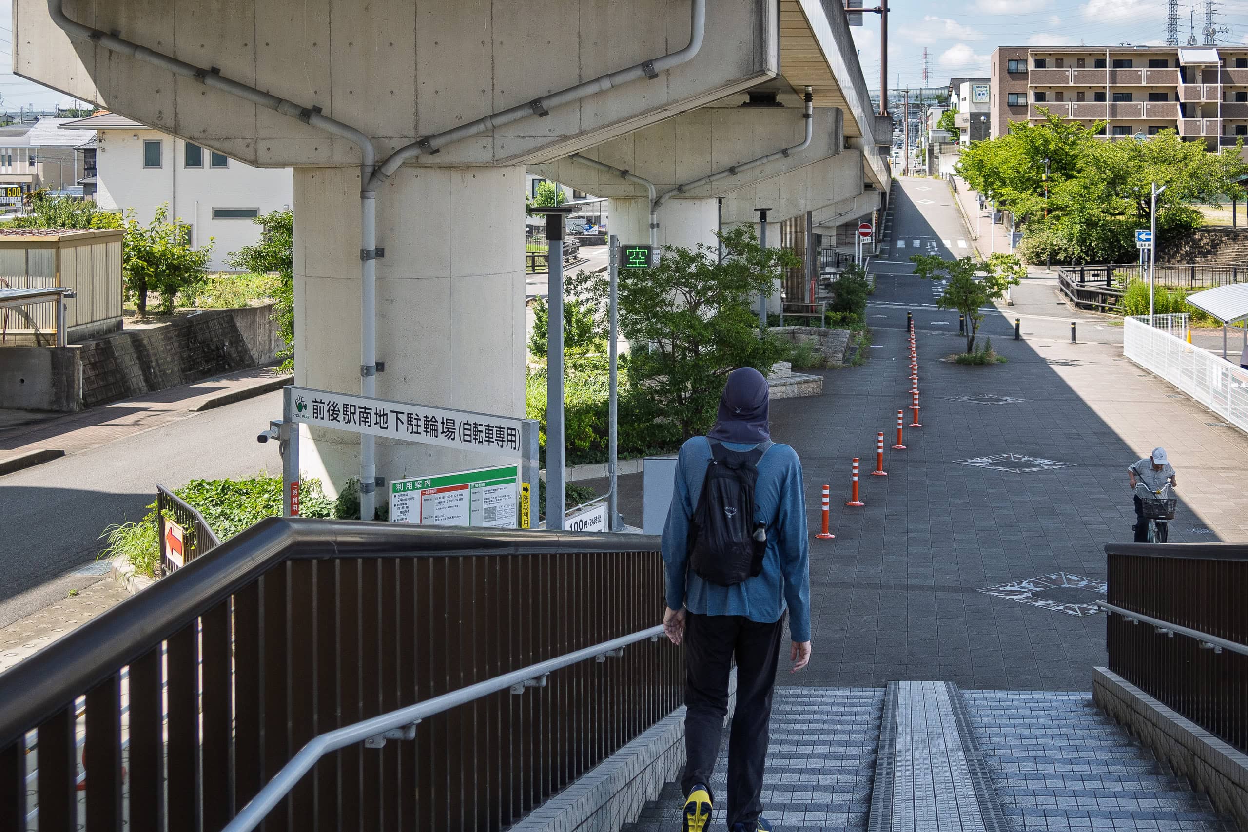
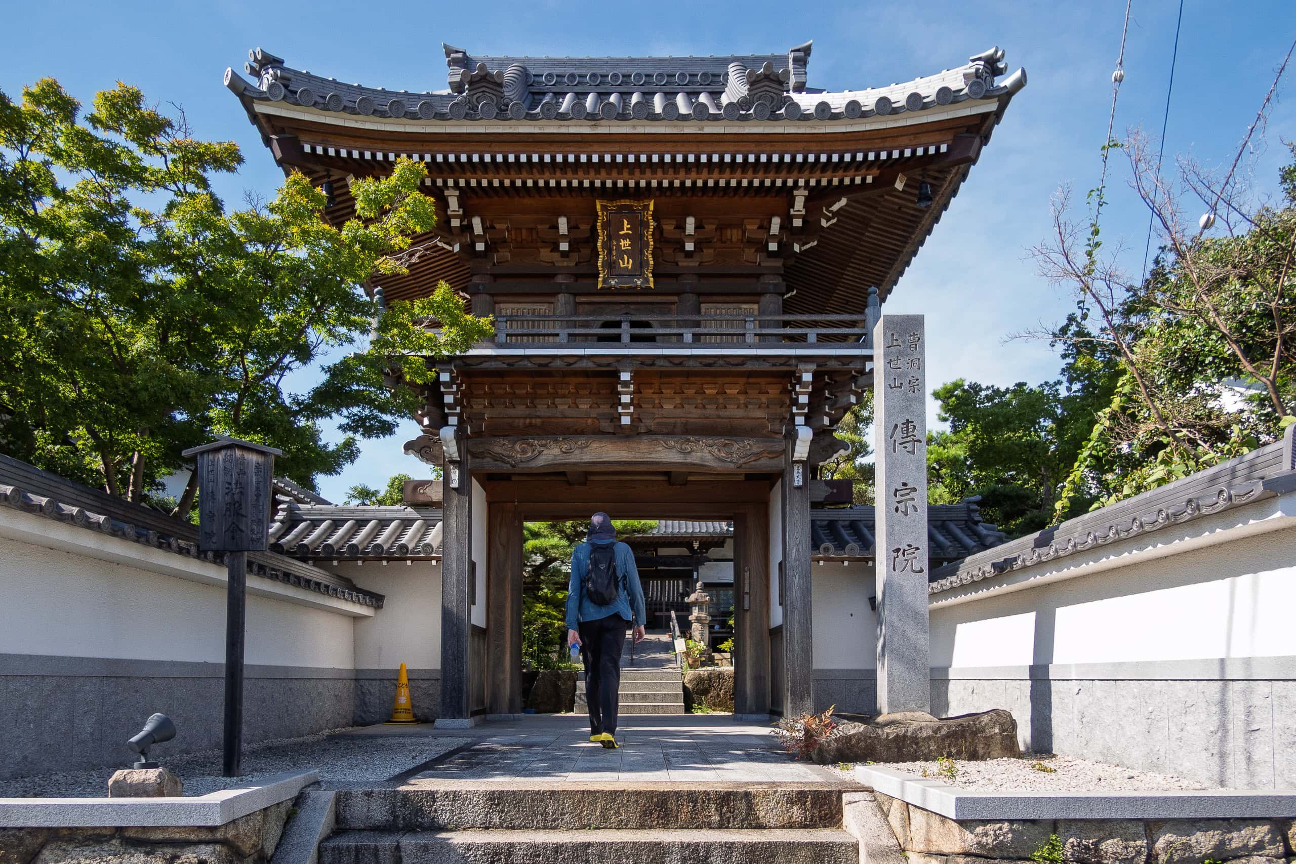
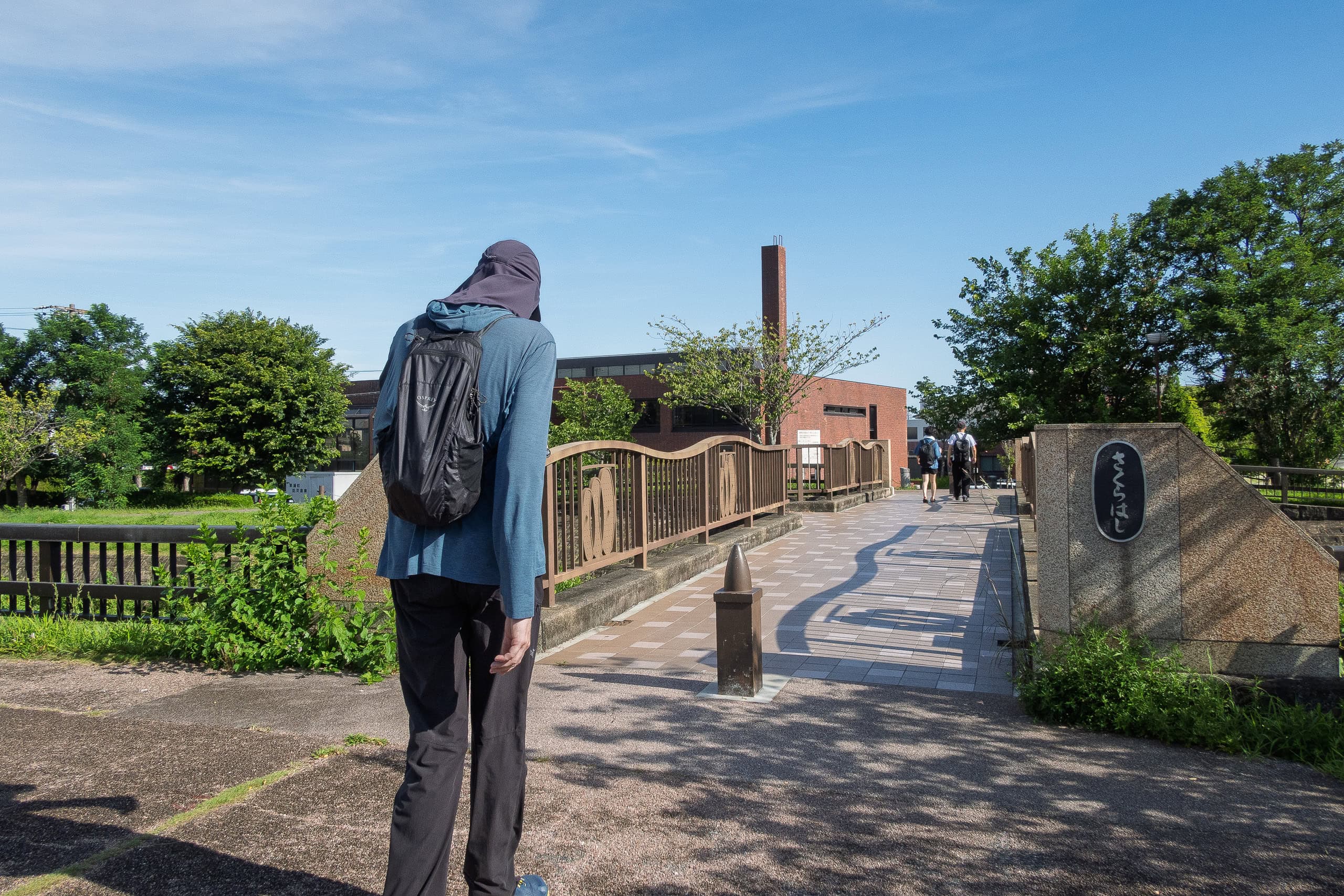
Then finally, the first day of the Chita pilgrimage walk arrived.
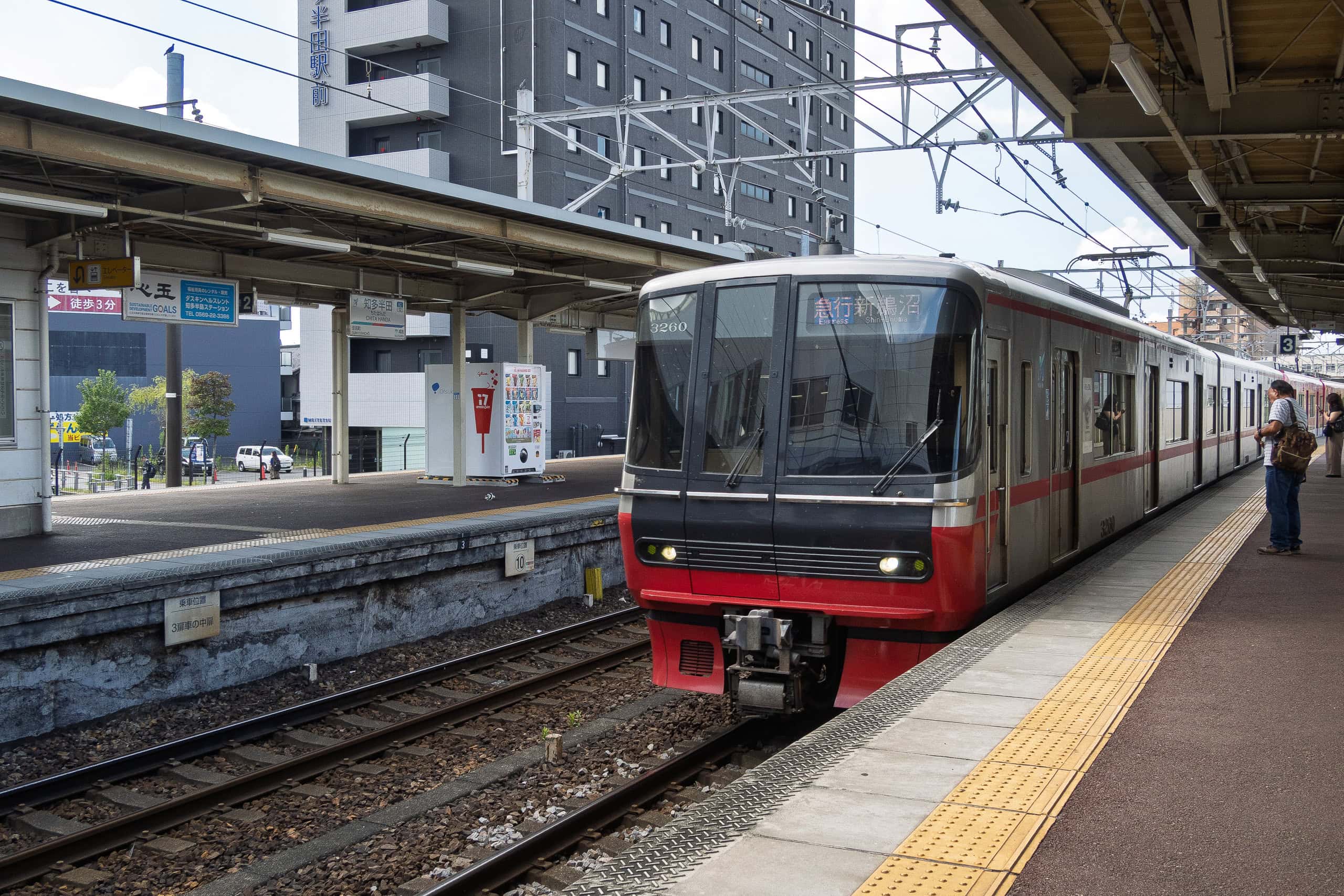
To reach the starting point, Zengo station 前後駅 on the Meitetsu Line, it was about 50 minutes from Meitetsu Handa Station 名鉄半田駅. It was right after morning commute time plus school summer vacation had just started, our train was quiet. Thankfully, all trains we took were very generous about A/C use. So, the inside of the train was always like a refrigerator.
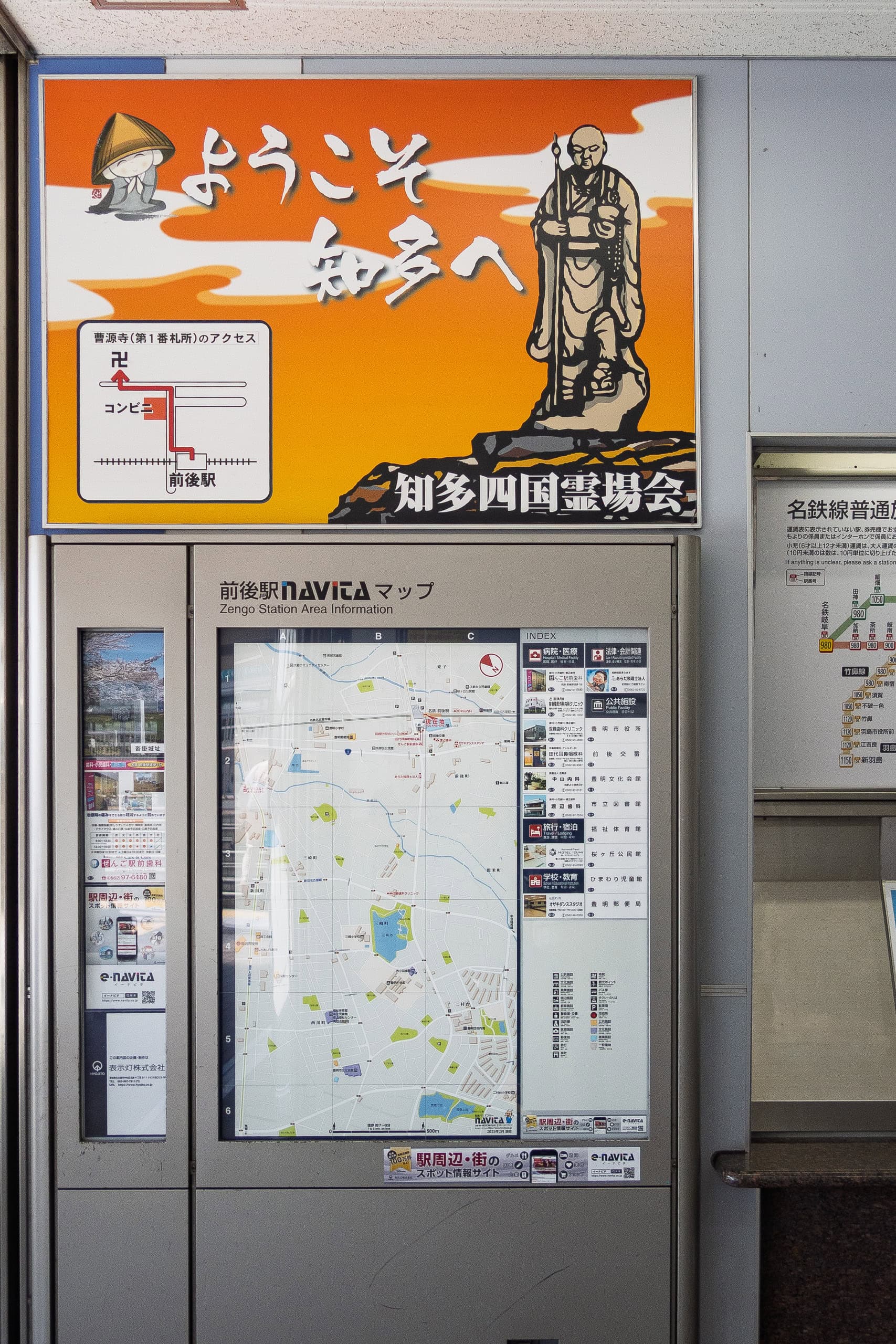
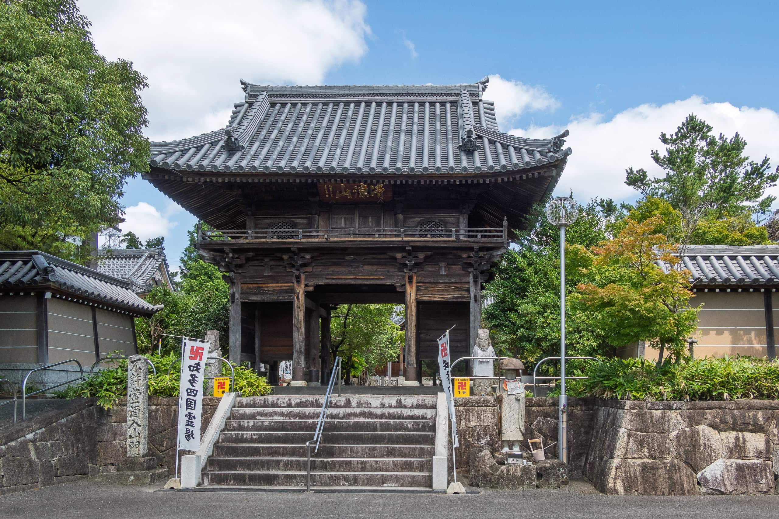
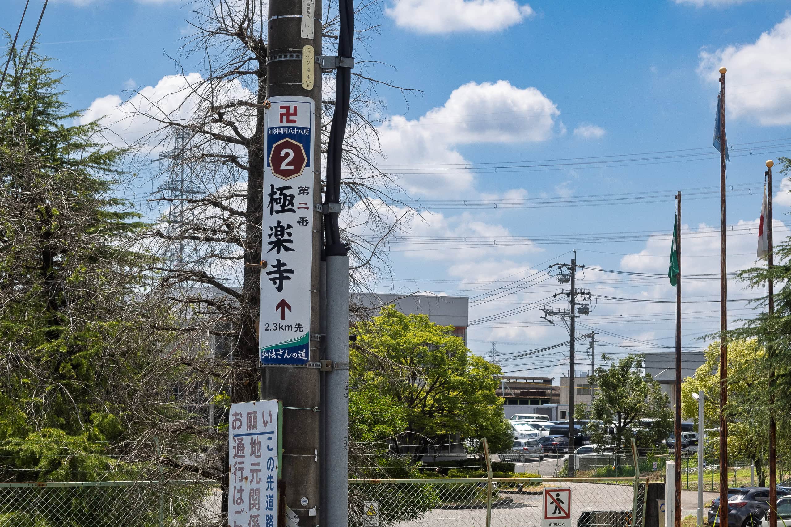
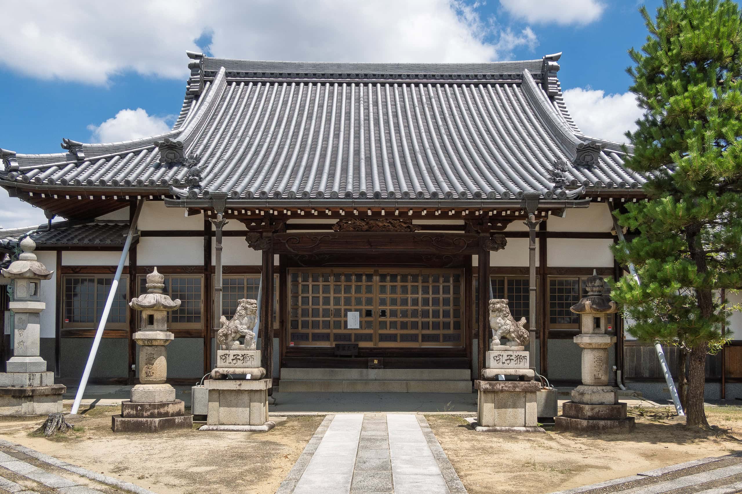
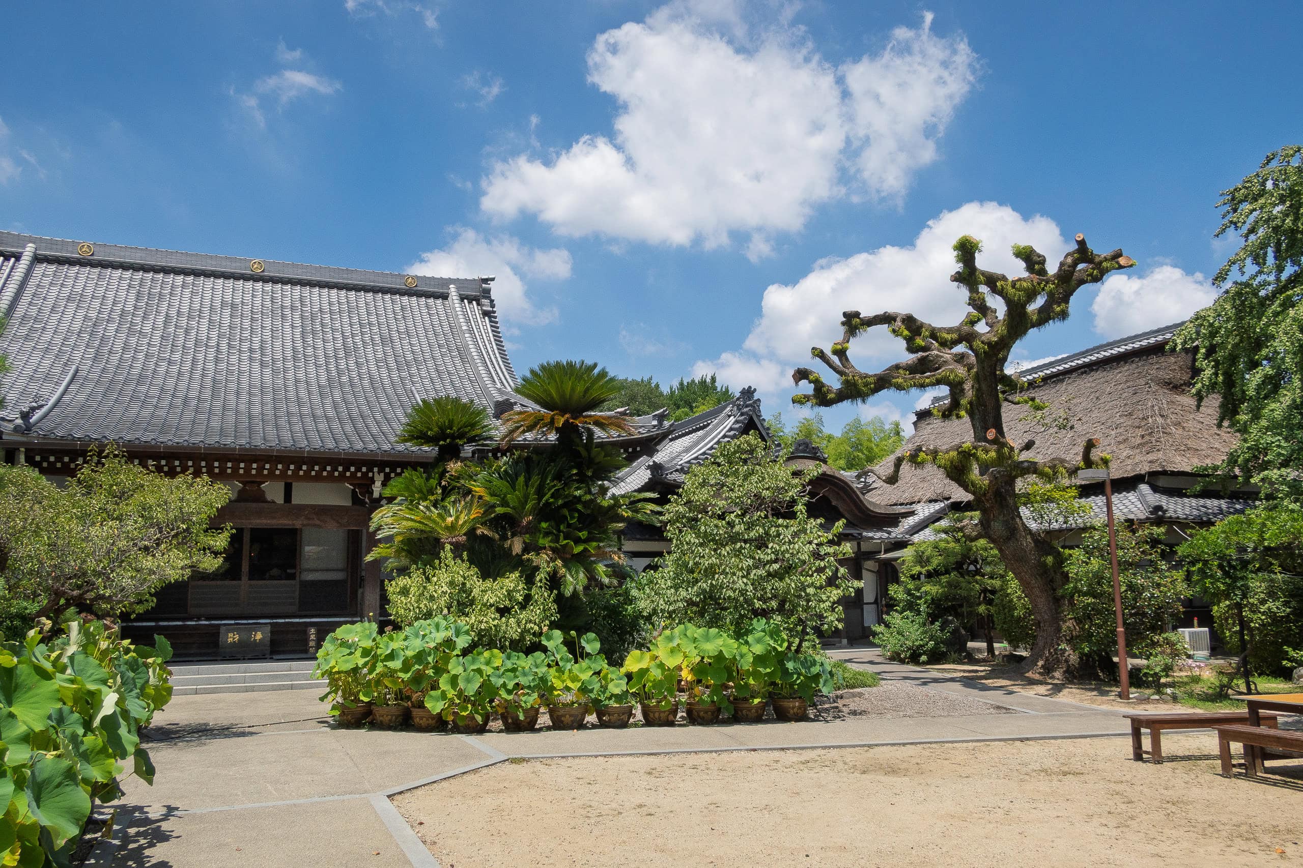
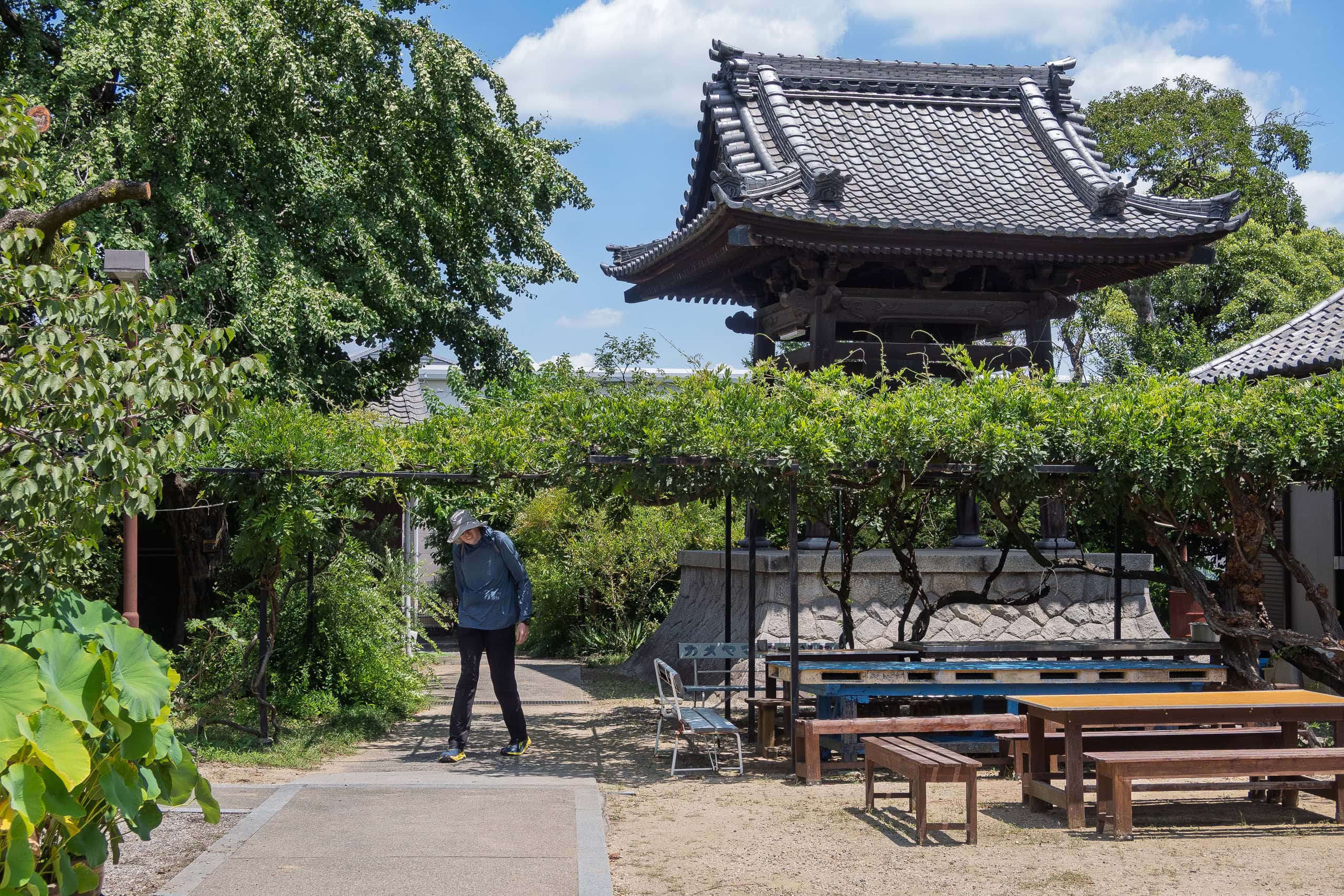
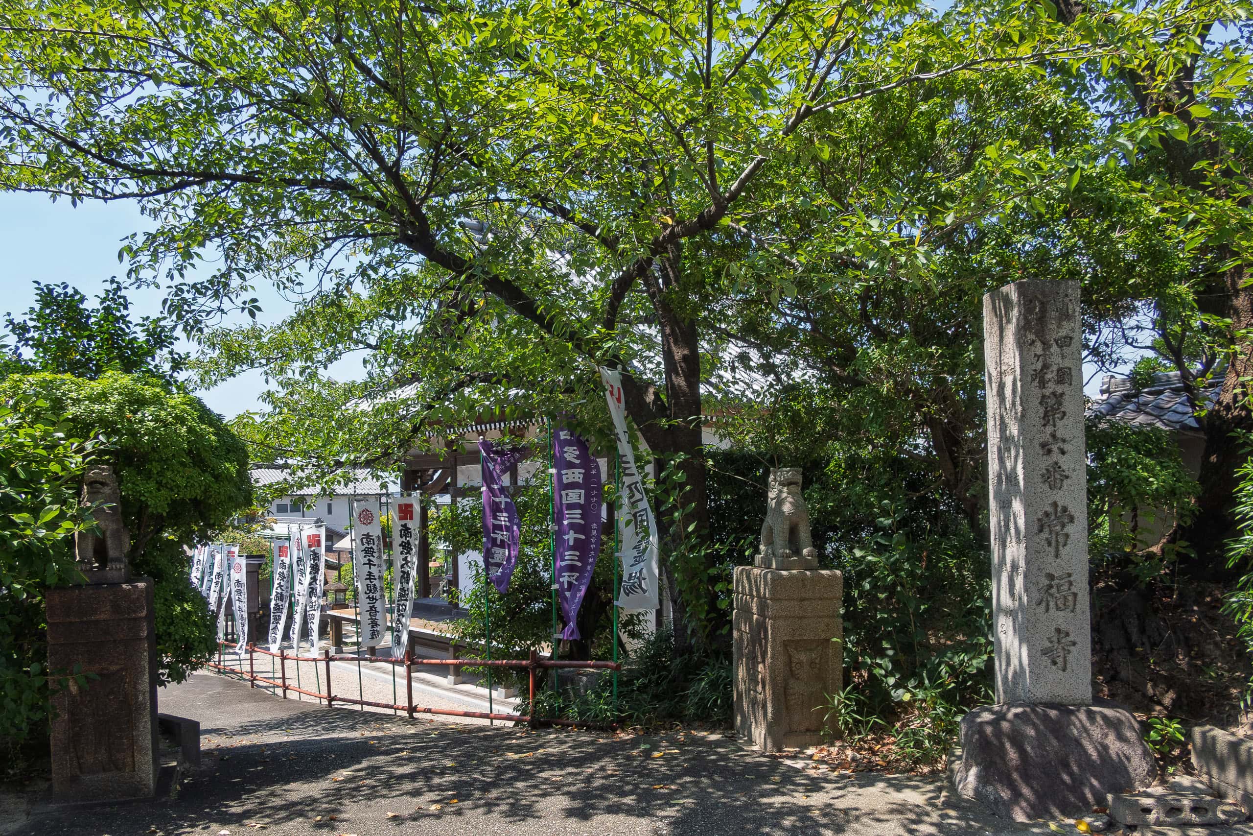
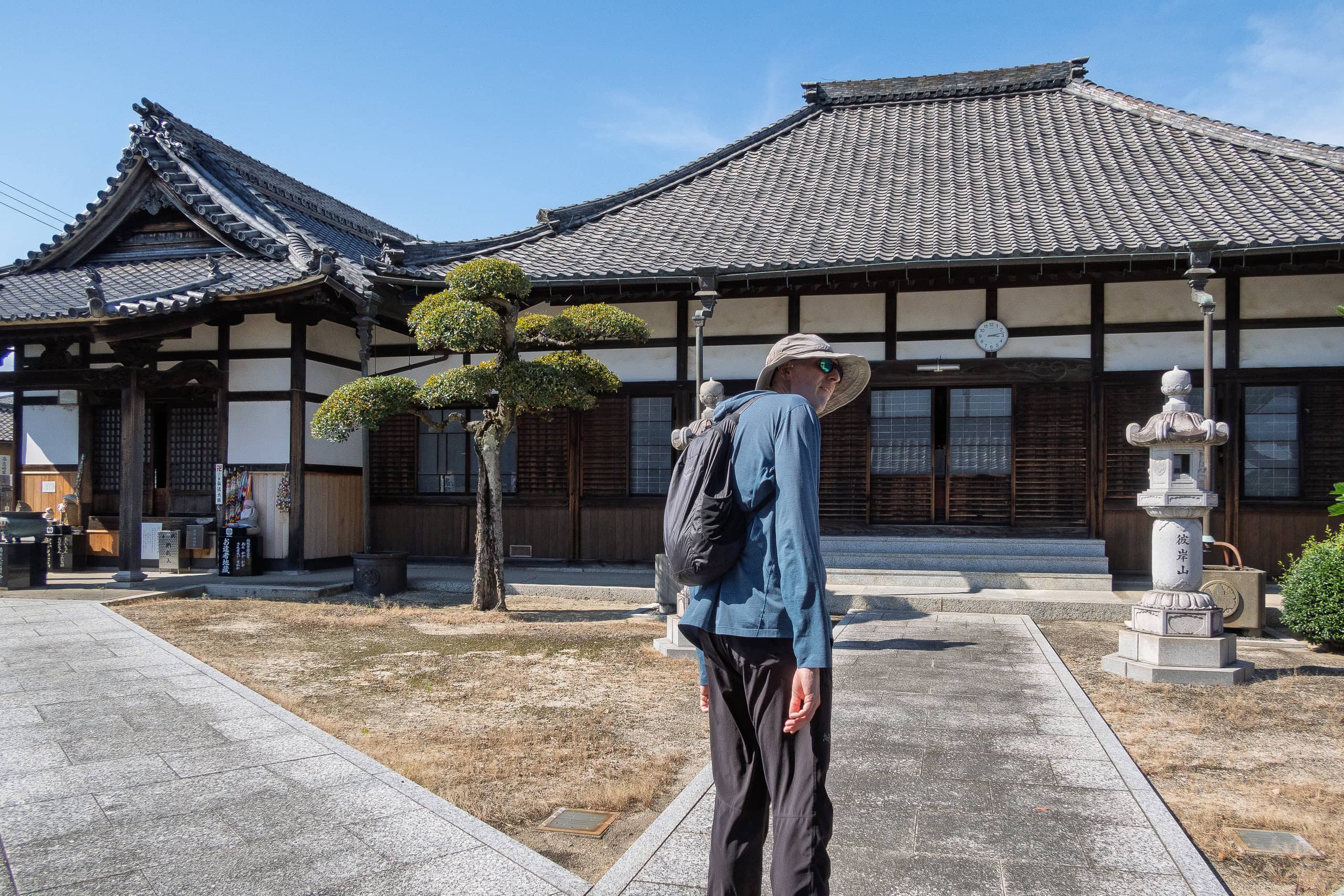
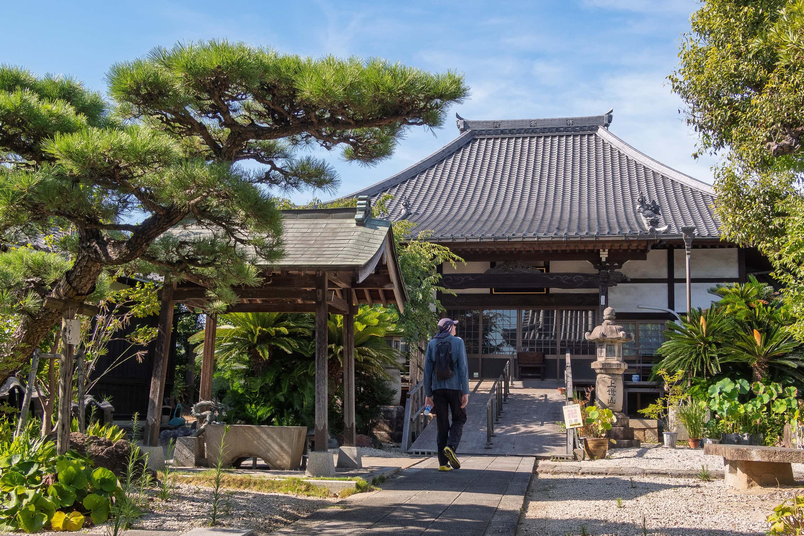
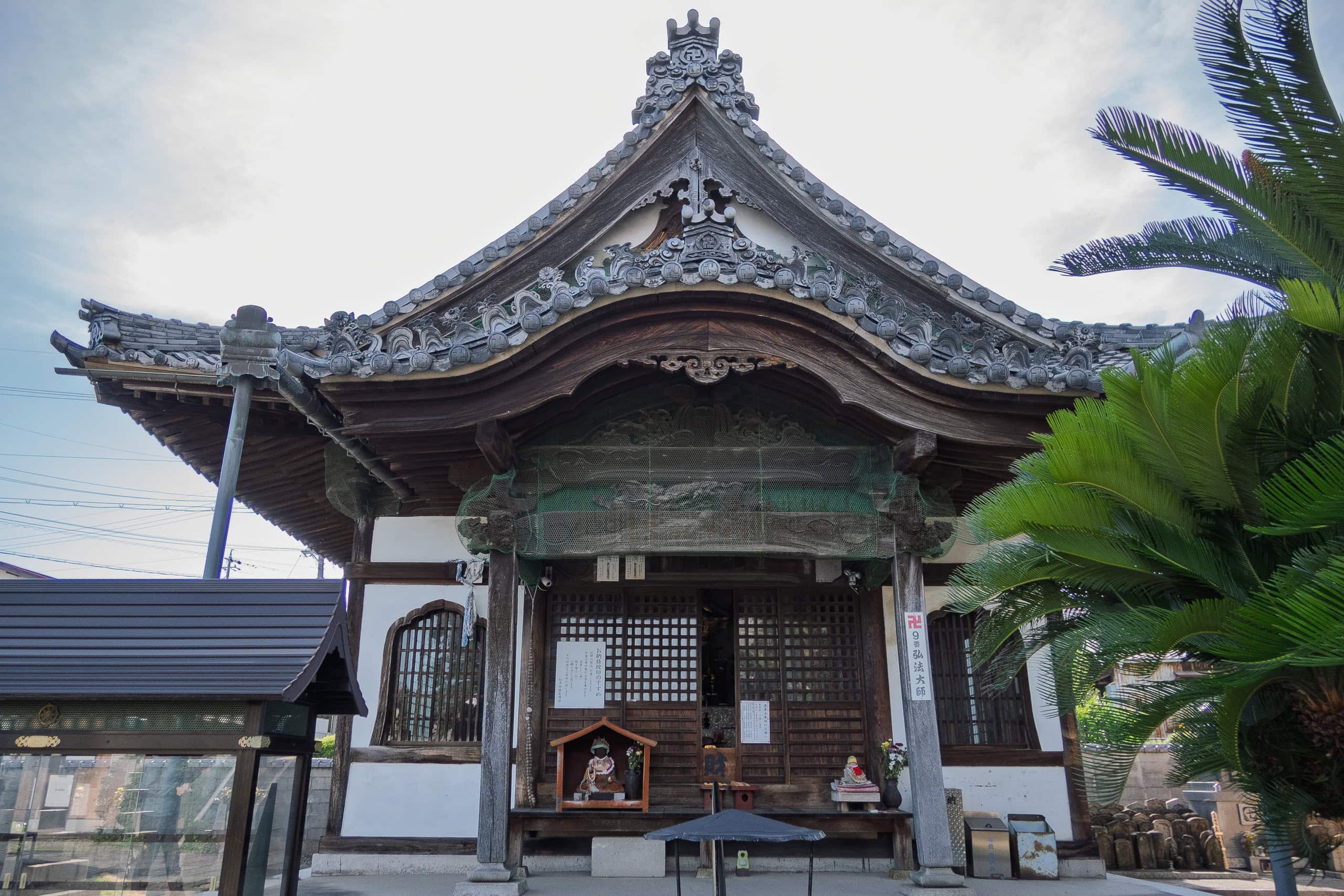
As you’d expect, since it’s the station closest to Temple #1 Sogen-ji 曹源寺, there was even a signboard next to the ticket machines showing the way. That was reassuring — at least the Chita pilgrimage is recognized locally. After all, this is one of the three most popular “Shikoku Pilgrimage Copies.”
For the route, we used the “walking pilgrim” route published on the official Chita pilgrimage website as a reference.
But that official route doesn’t actually connect all the temples into a single continuous trail. Instead, it suggests looping around a cluster of temples starting from a nearby station, then skipping over the “blank areas” by train to reach the next cluster.
If you want to walk the whole thing, you have to connect those gaps yourself. So we made own own route by linking up the official cluster loops with as much of the old roads in the Chita Peninsula as possible — like the Morosaki Kaido 師崎街道 and the Tokoname Kaido 常滑街道.
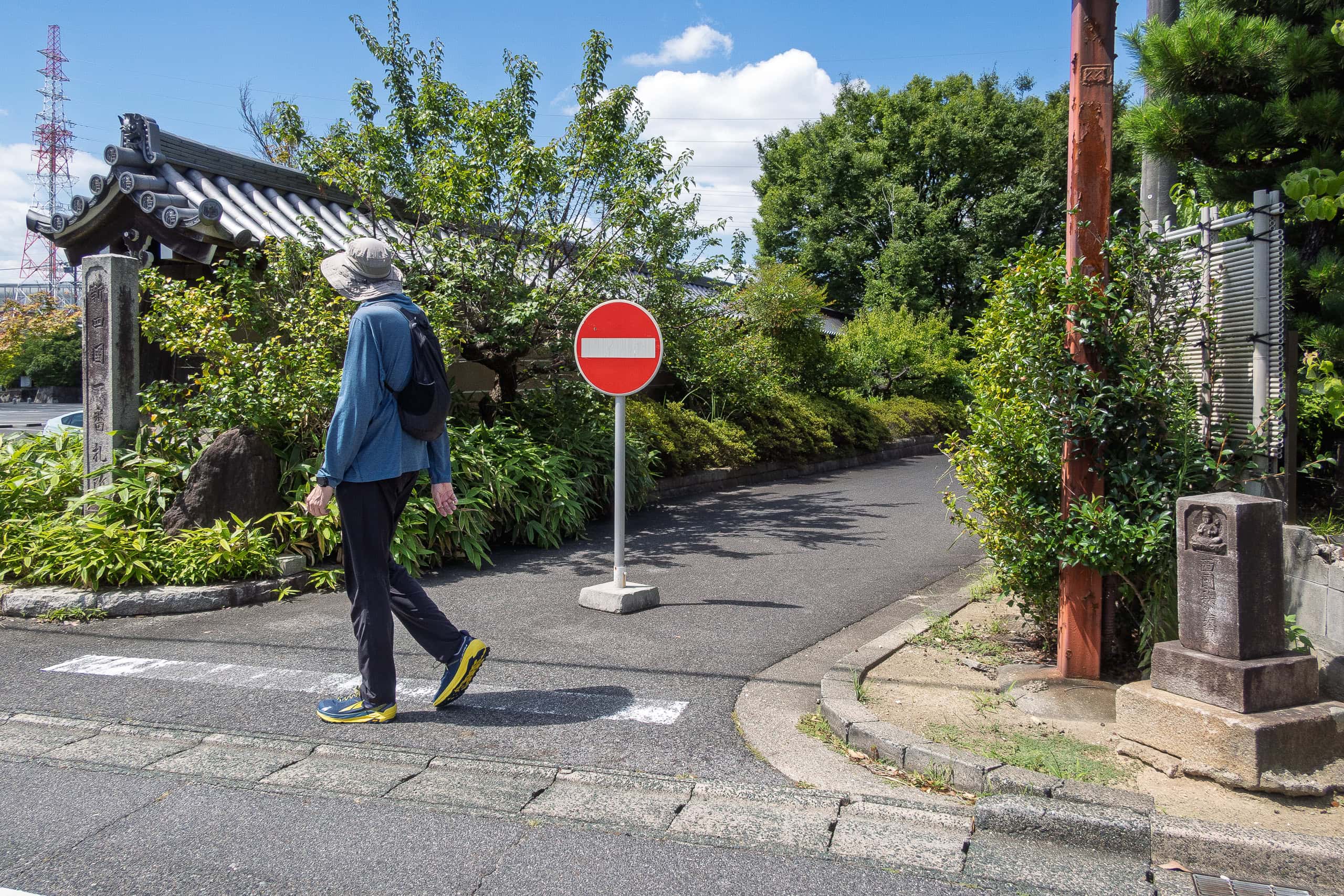
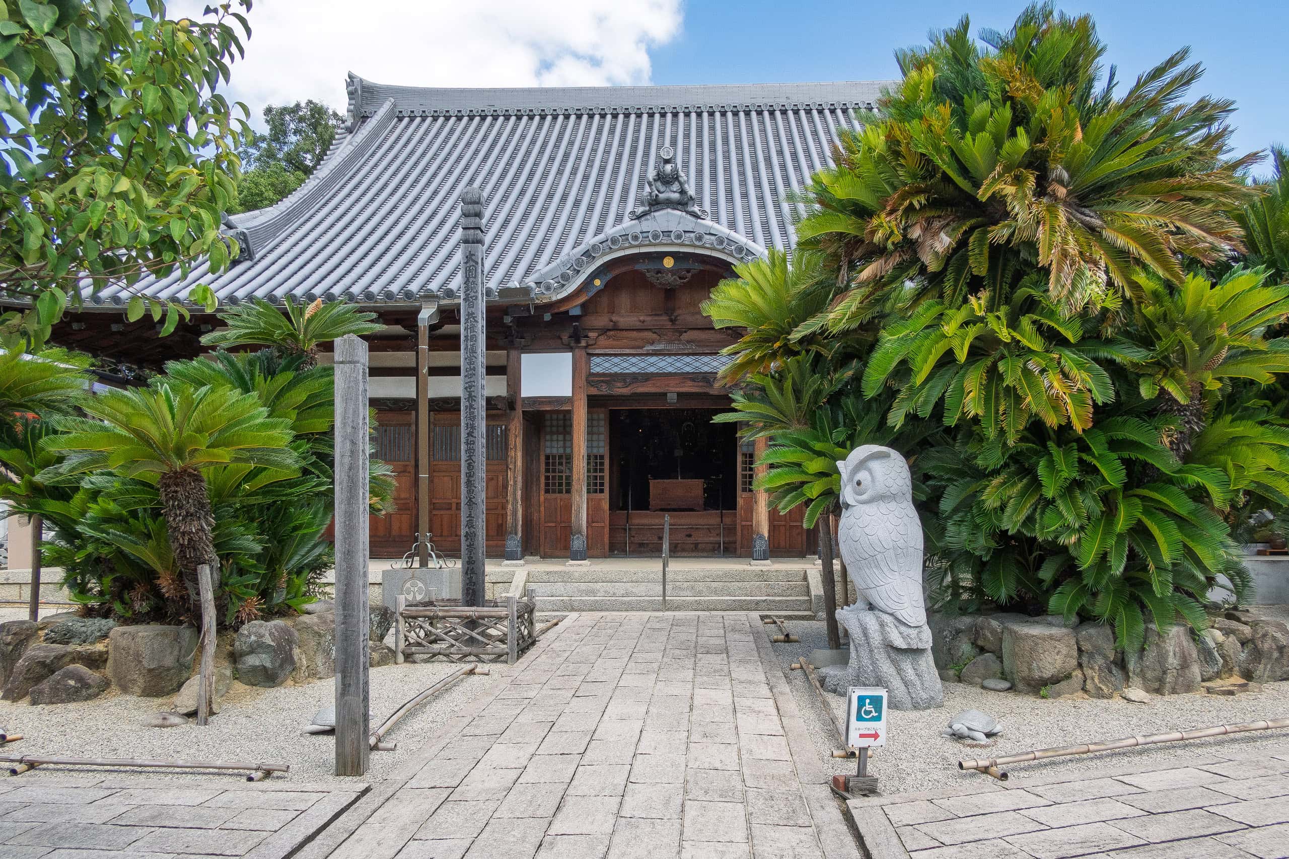
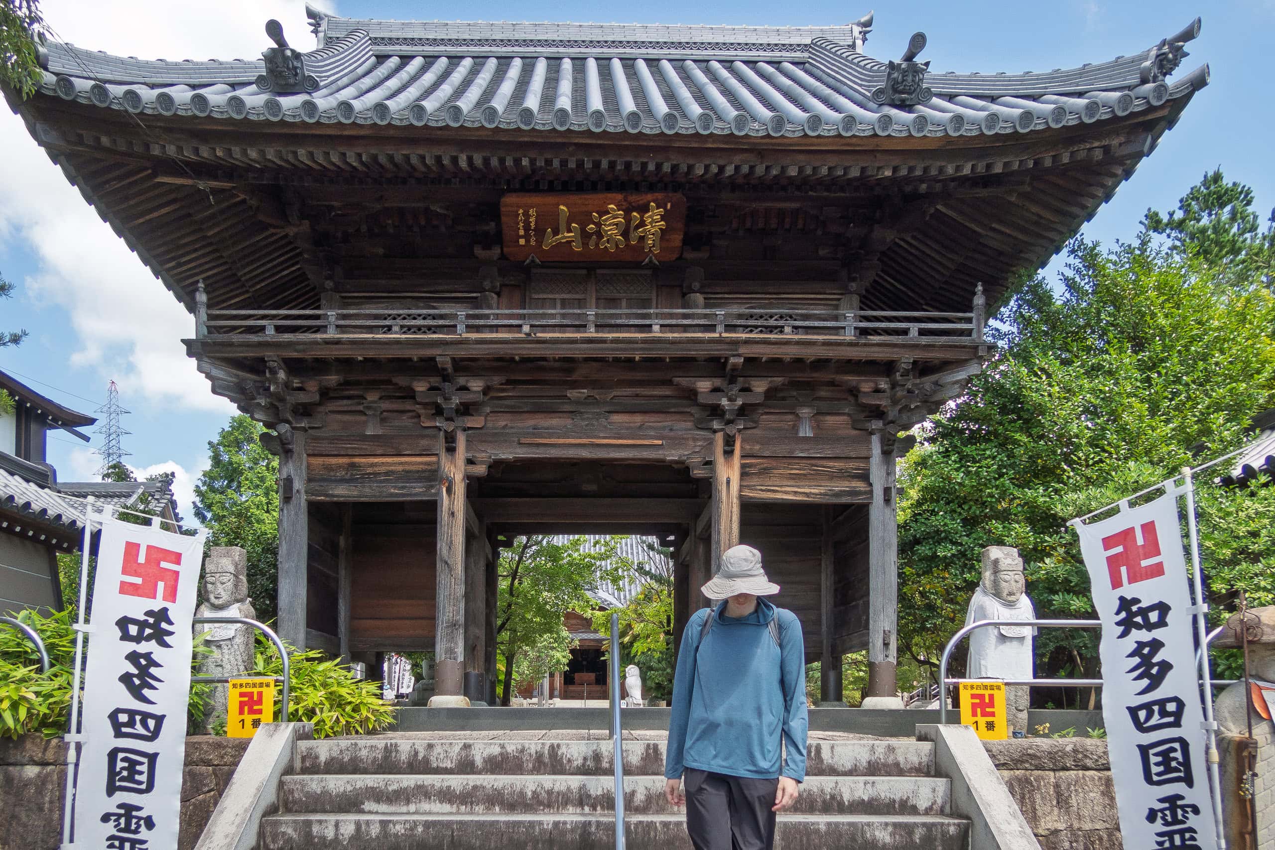
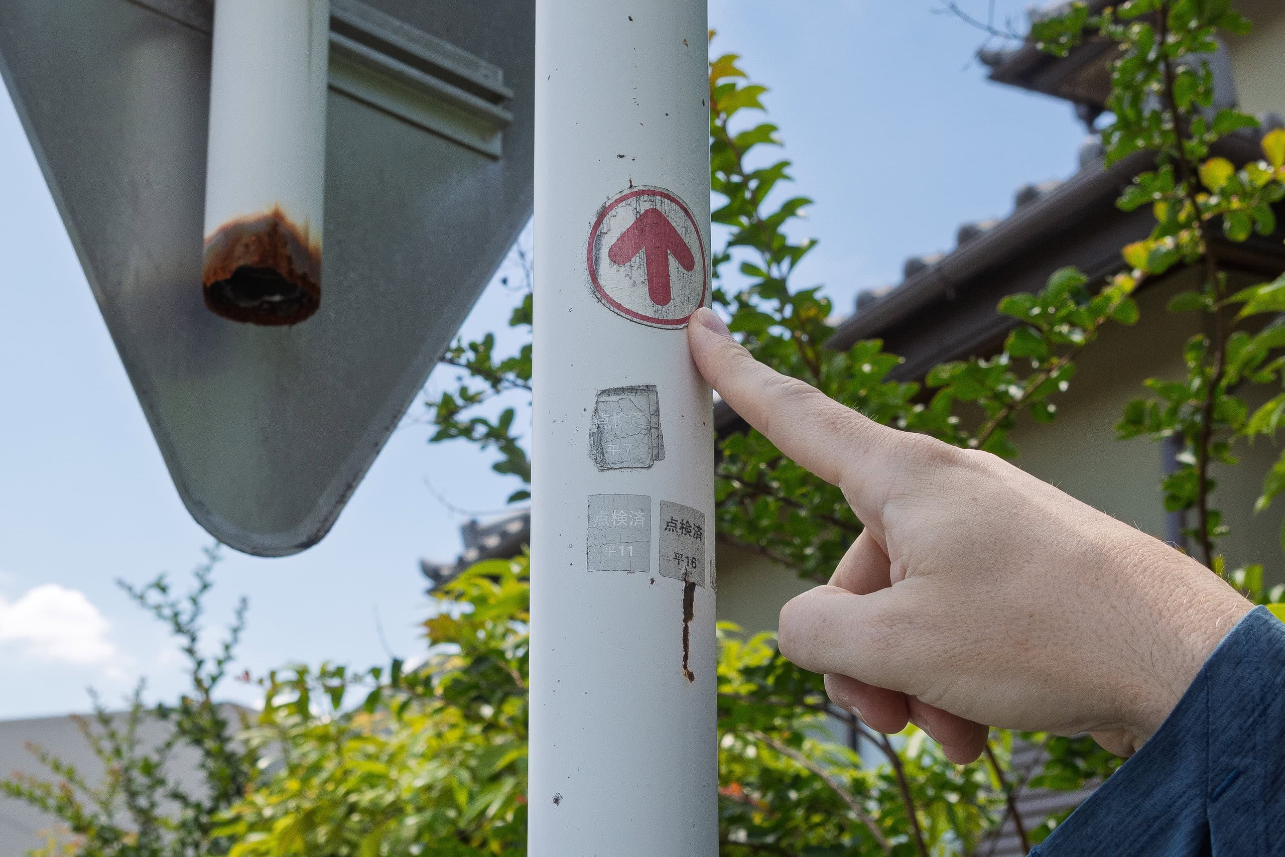
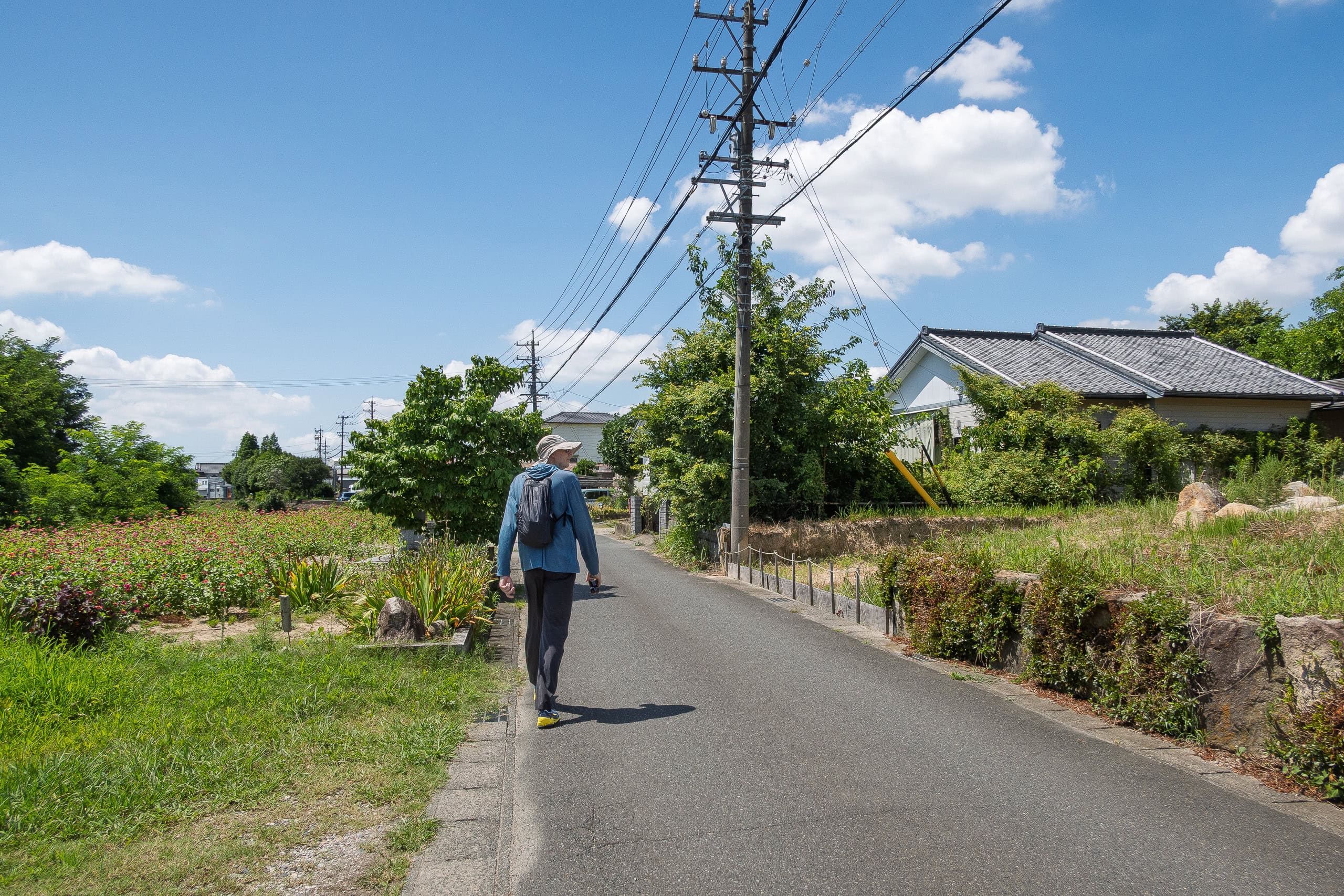
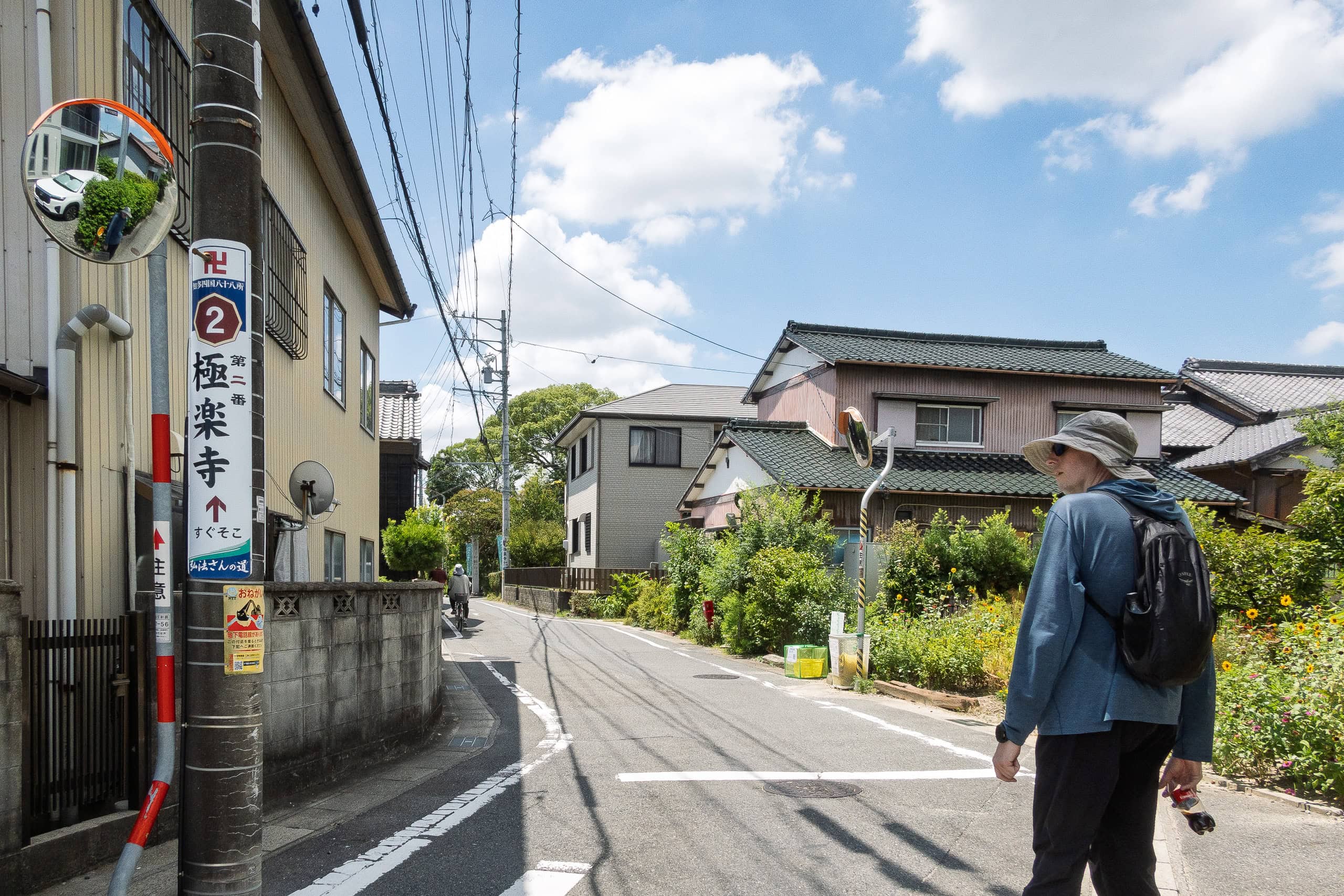
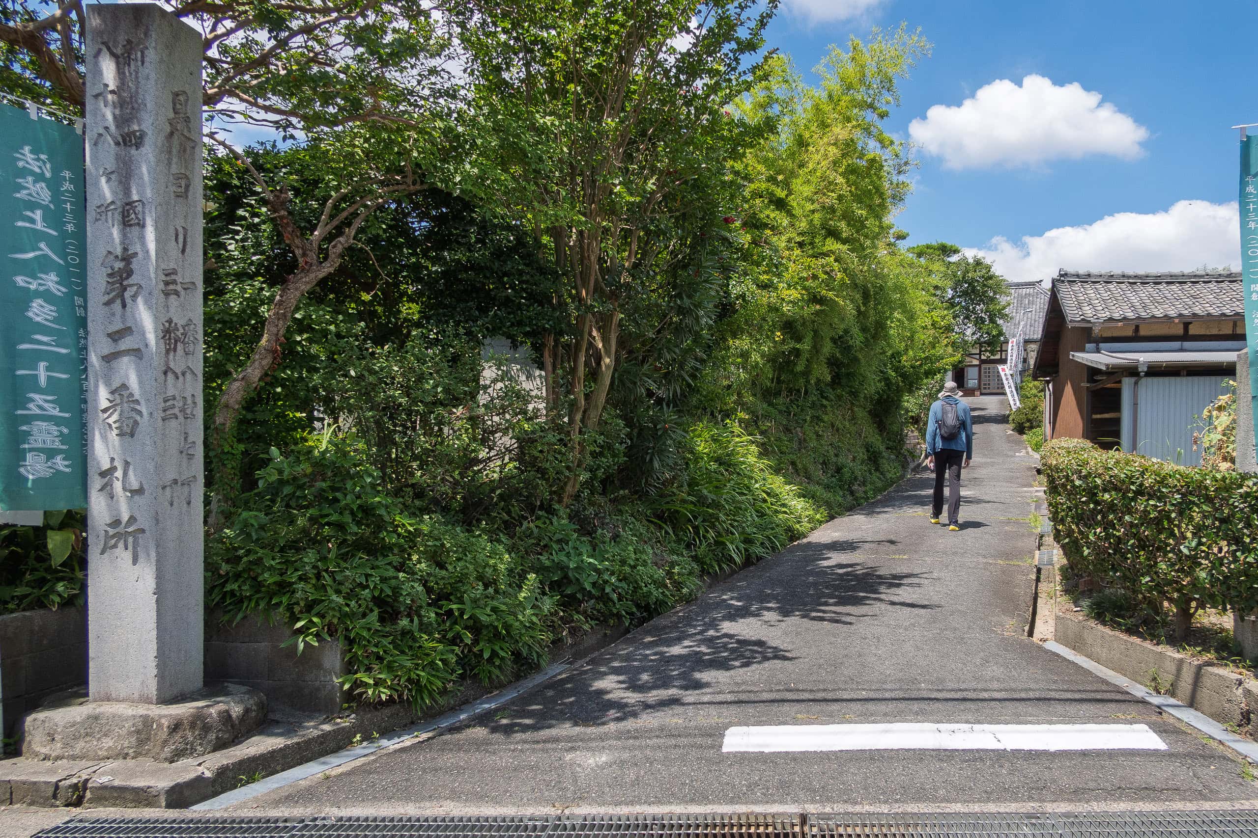
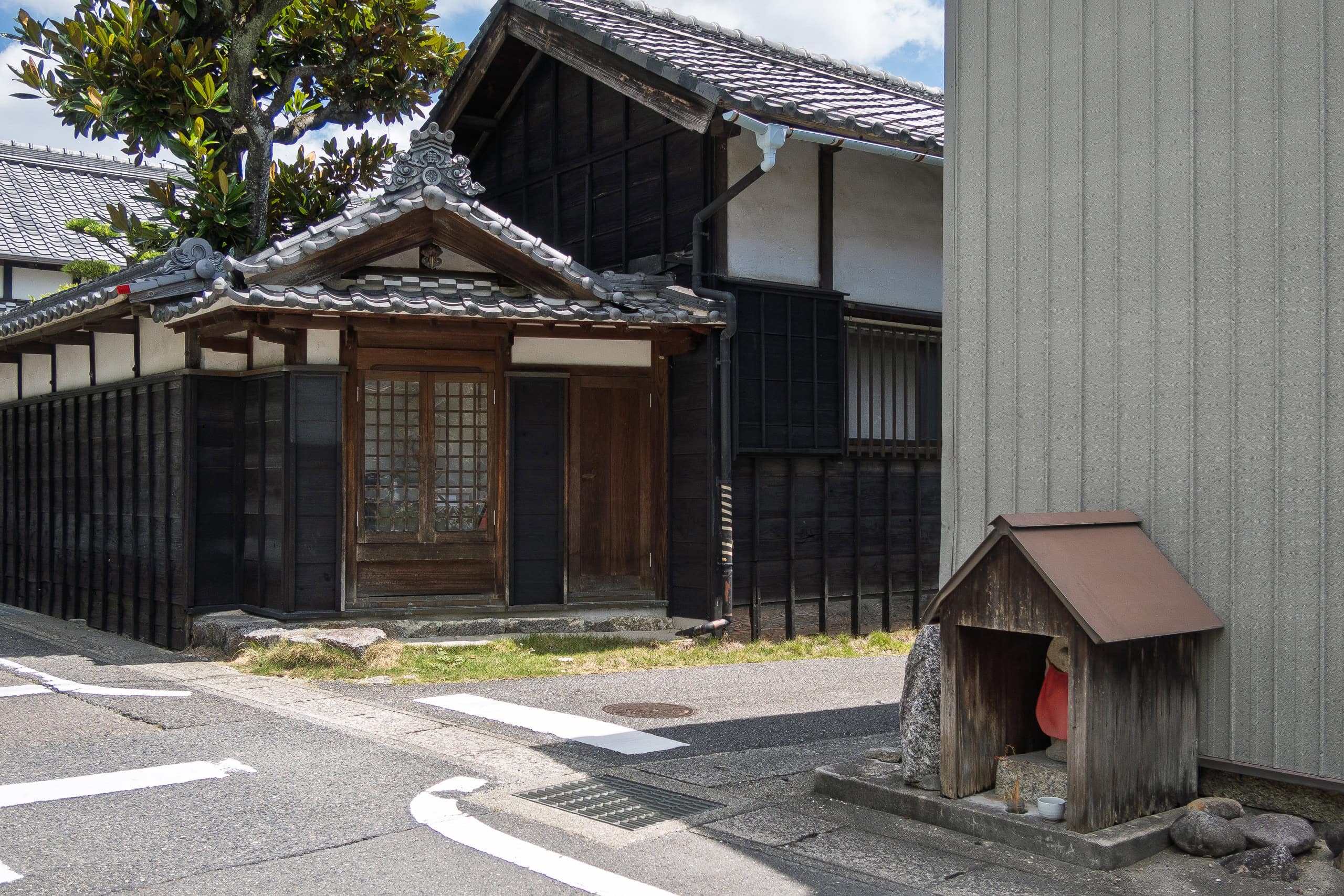
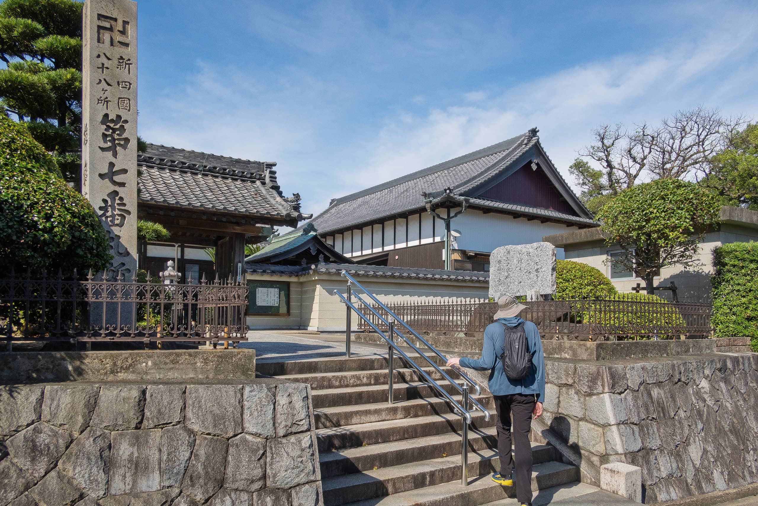
As expected, it wasn’t marked nearly as clearly as the Shikoku pilgrimage, where arrows or signs appear at almost every corner. On the Chita route, at least from Temple #1 through #3, there were some arrows at key turns, and here and there you’d find signboards put up for general visitors or car pilgrims.
Still, compared with the Shikoku pilgrimage or even the Shodoshima pilgrimage — where you can somehow get around just by following signs, even without a map — it wasn’t even close.
Our GPS tracks, which we had carefully created and loaded into Geographica app and Garmin, were by far the most reliable guide.
How Chita Pilgrimage Differs from the Shikoku Pilgrimage
As veteran Shikoku and Shodoshima pilgrims, we found the Chita pilgrimage surprisingly different—even though it was originally opened as a local alternative to the Shikoku pilgrimage.
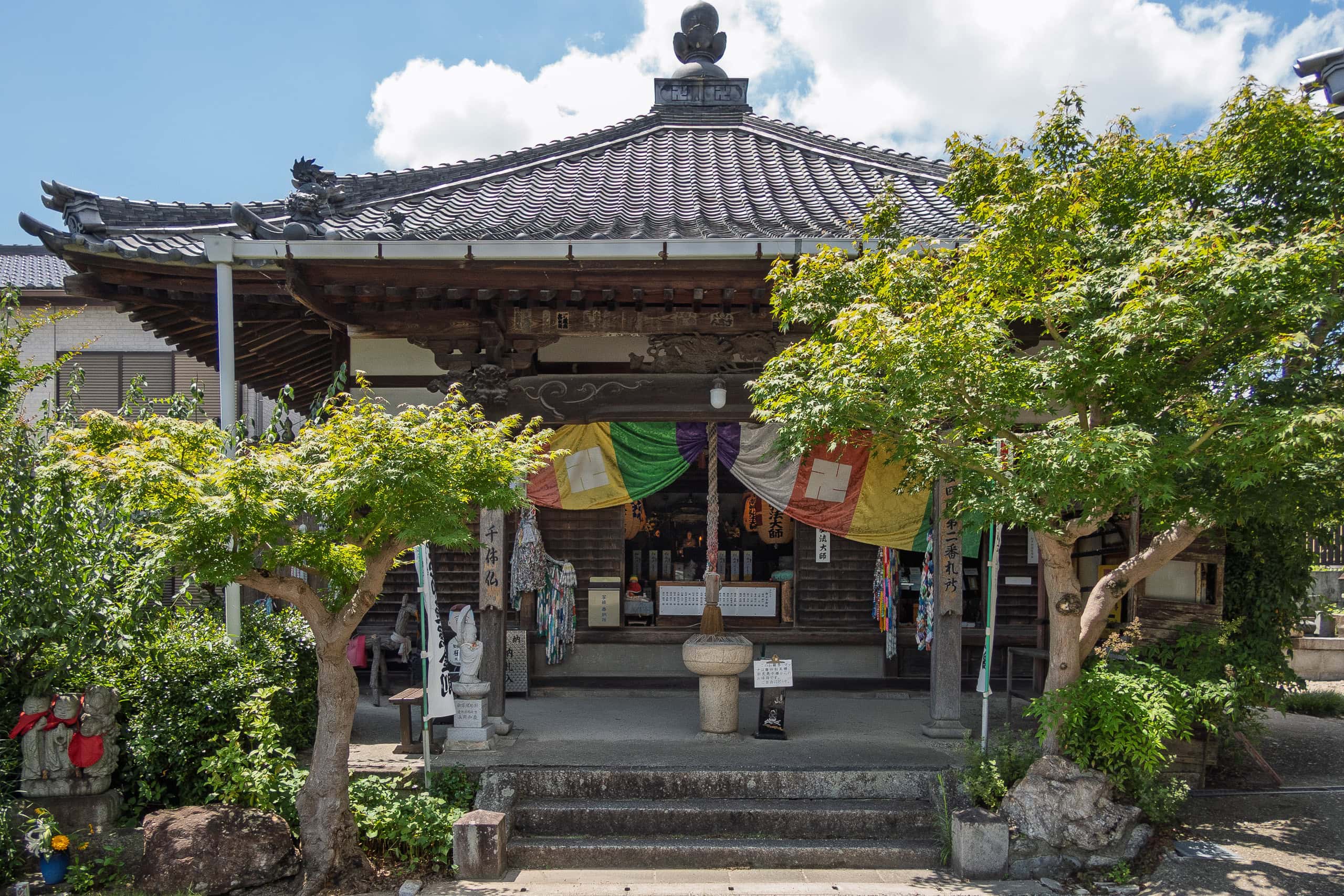
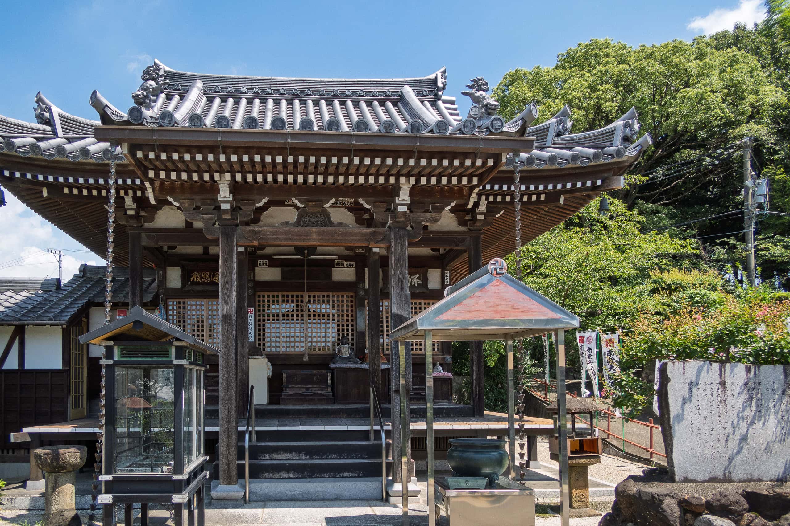
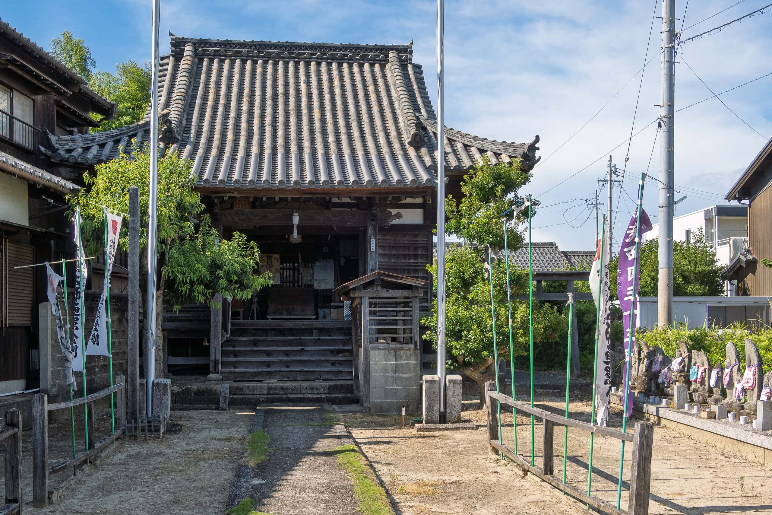
The temples are mostly NOT Shingon 真言宗
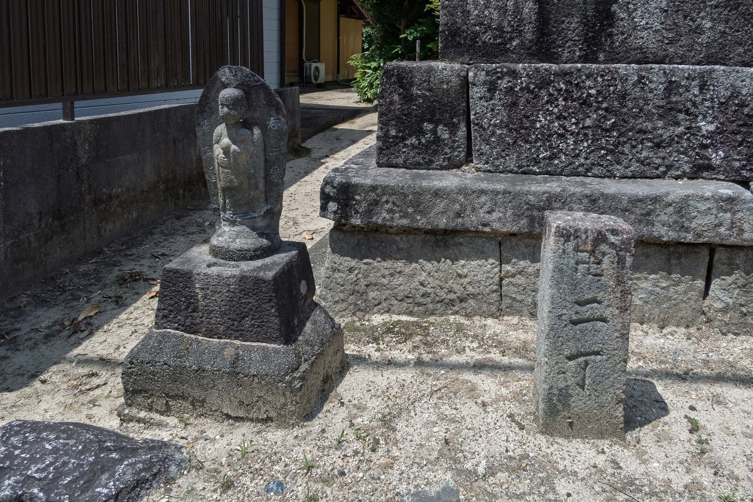
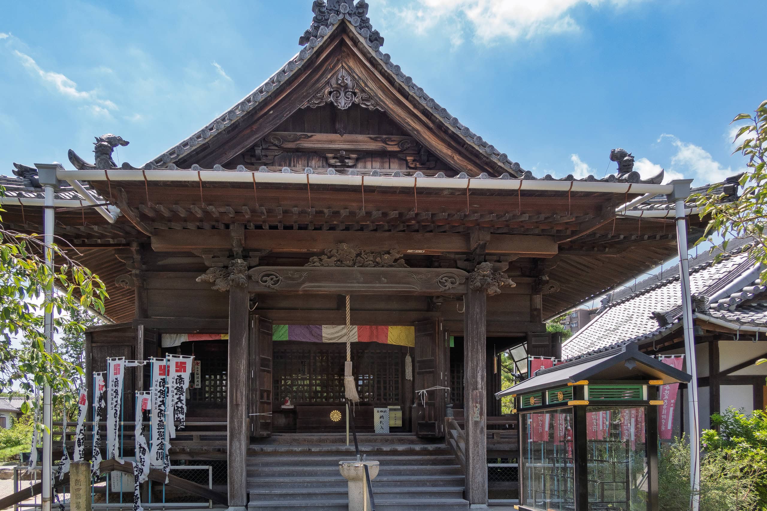
They’re mainly Soto Zen 曹洞宗, with some Jodo Shinshu 浄土真宗 mixed in. A number of temples do have a Daishi-do hall 大師堂 on the grounds, dedicated to Kobo Daishi Kukai 弘法大師 空海, the founder of the Shingon sect. For me, it felt a bit odd — since Soto Zen and Jodo Shinshu both have their own founders.
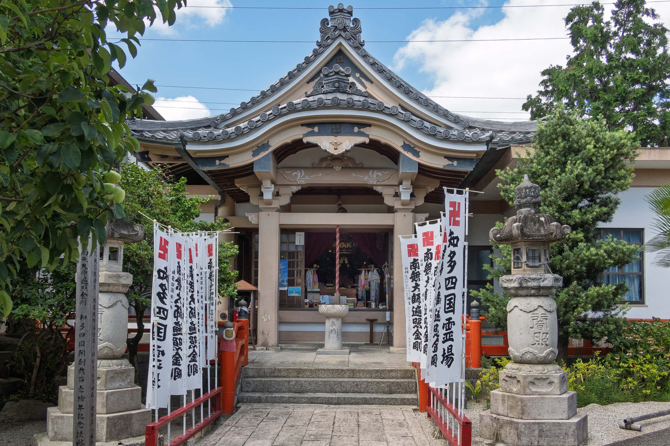
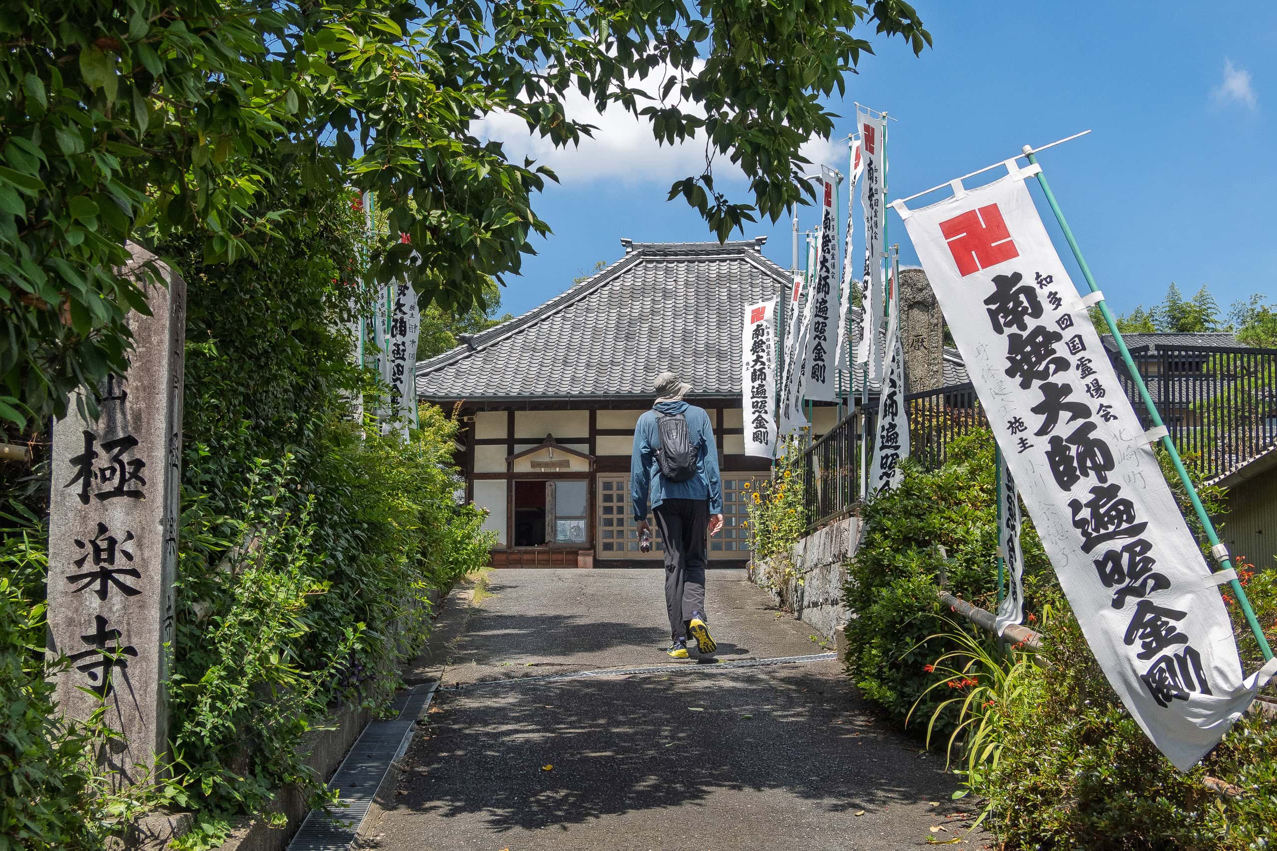
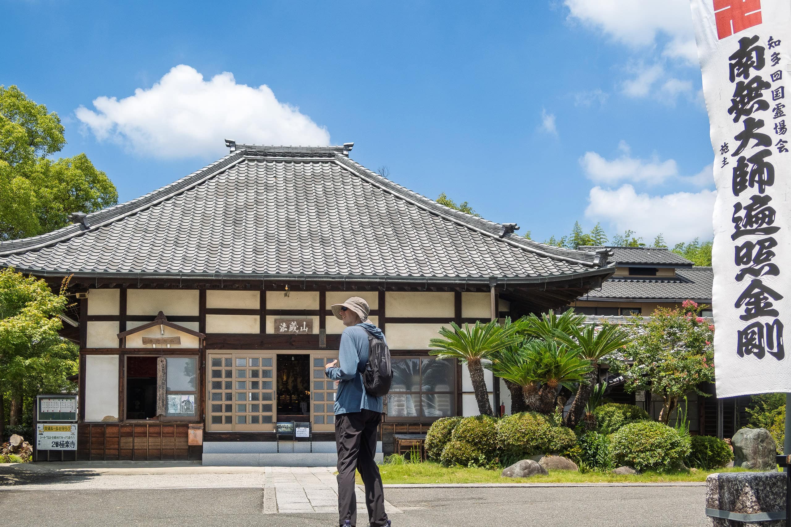
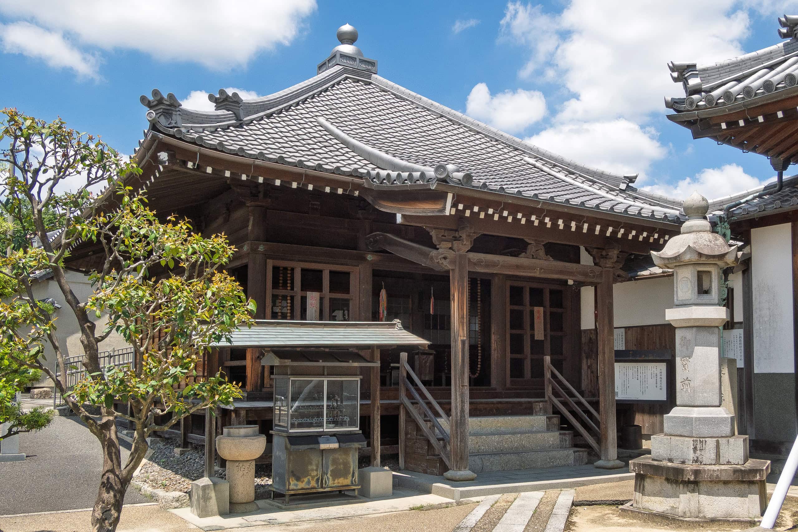
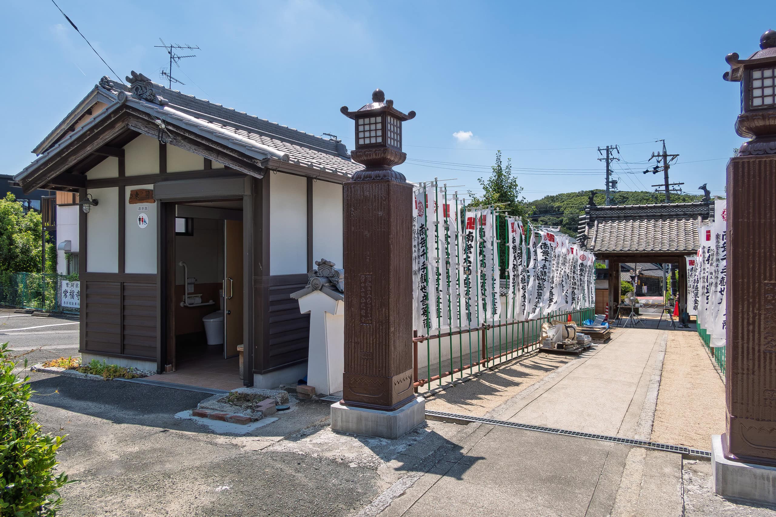
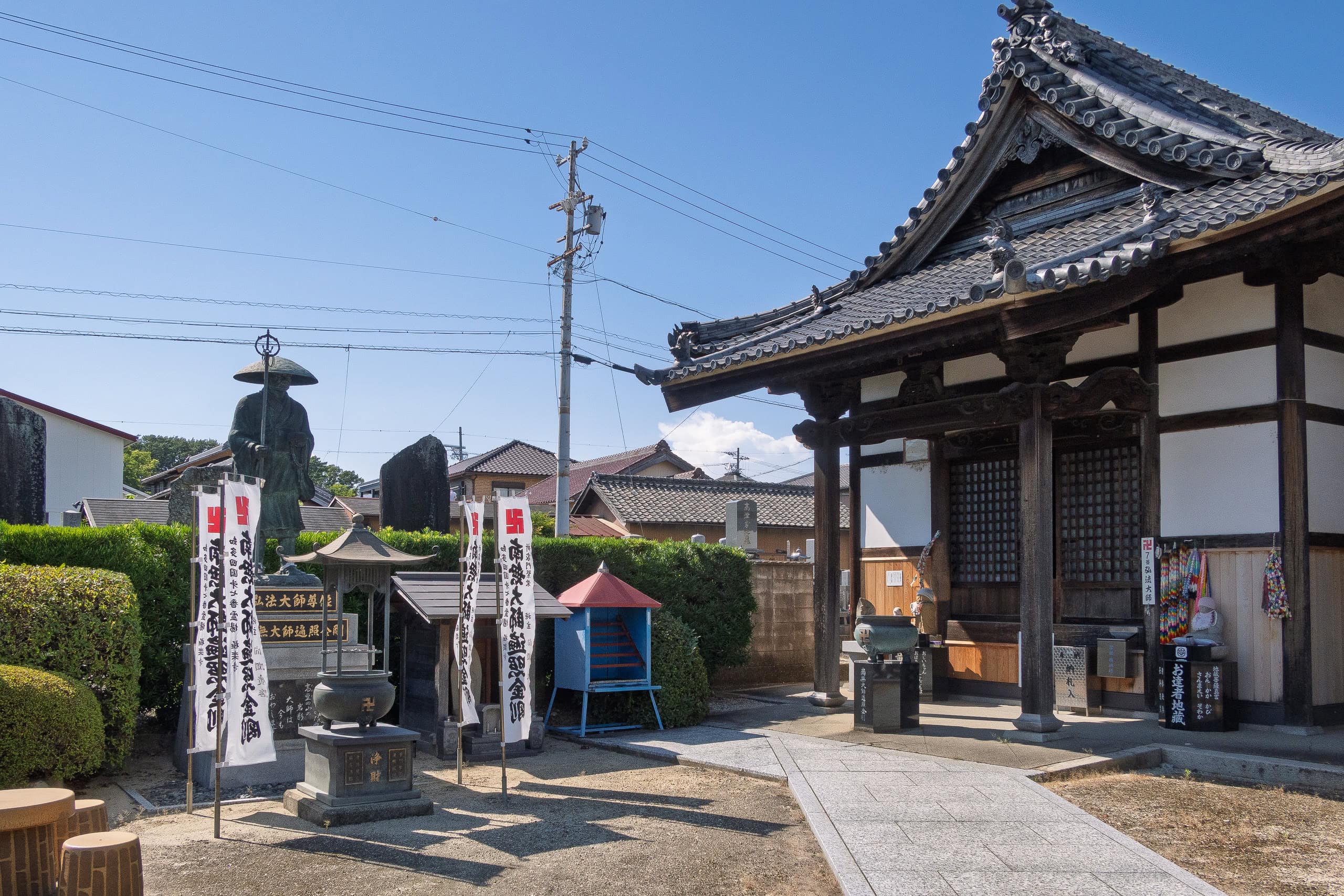
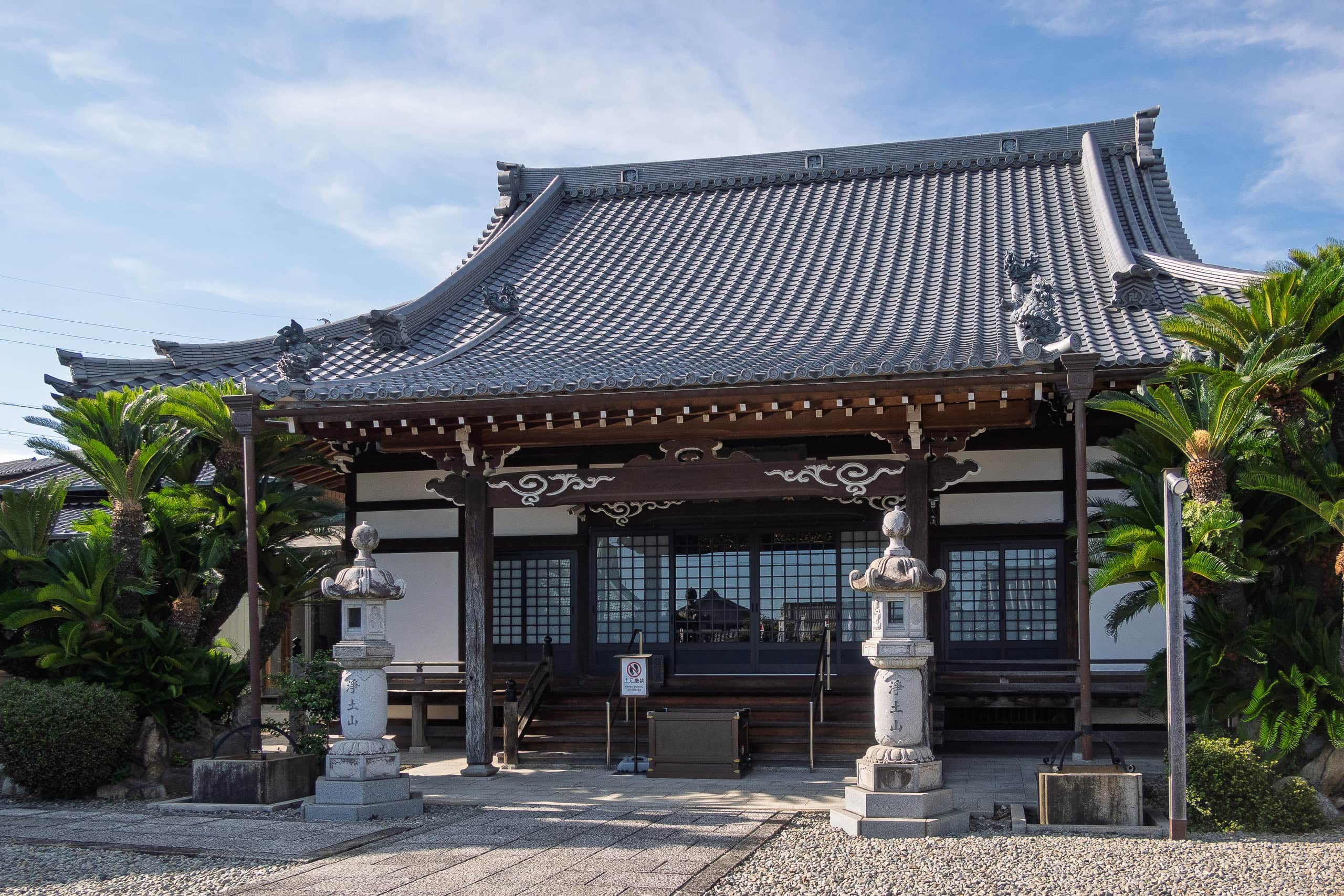
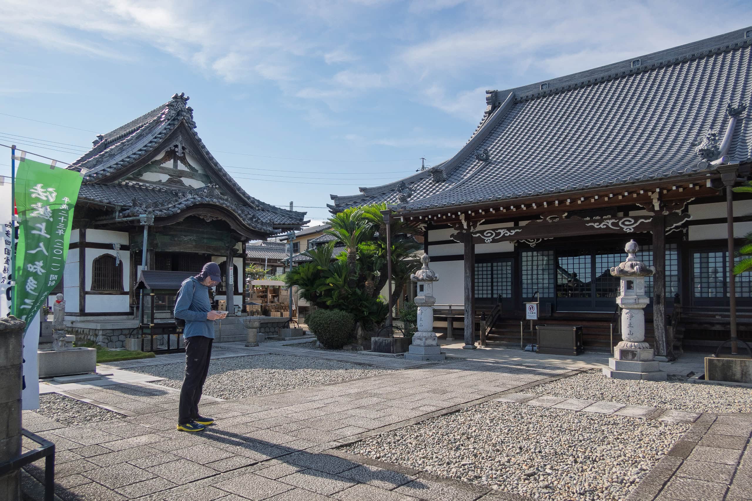
The level of enthusiasm for being part of “Chita Pilgrimage” varies wildly from temple to temple
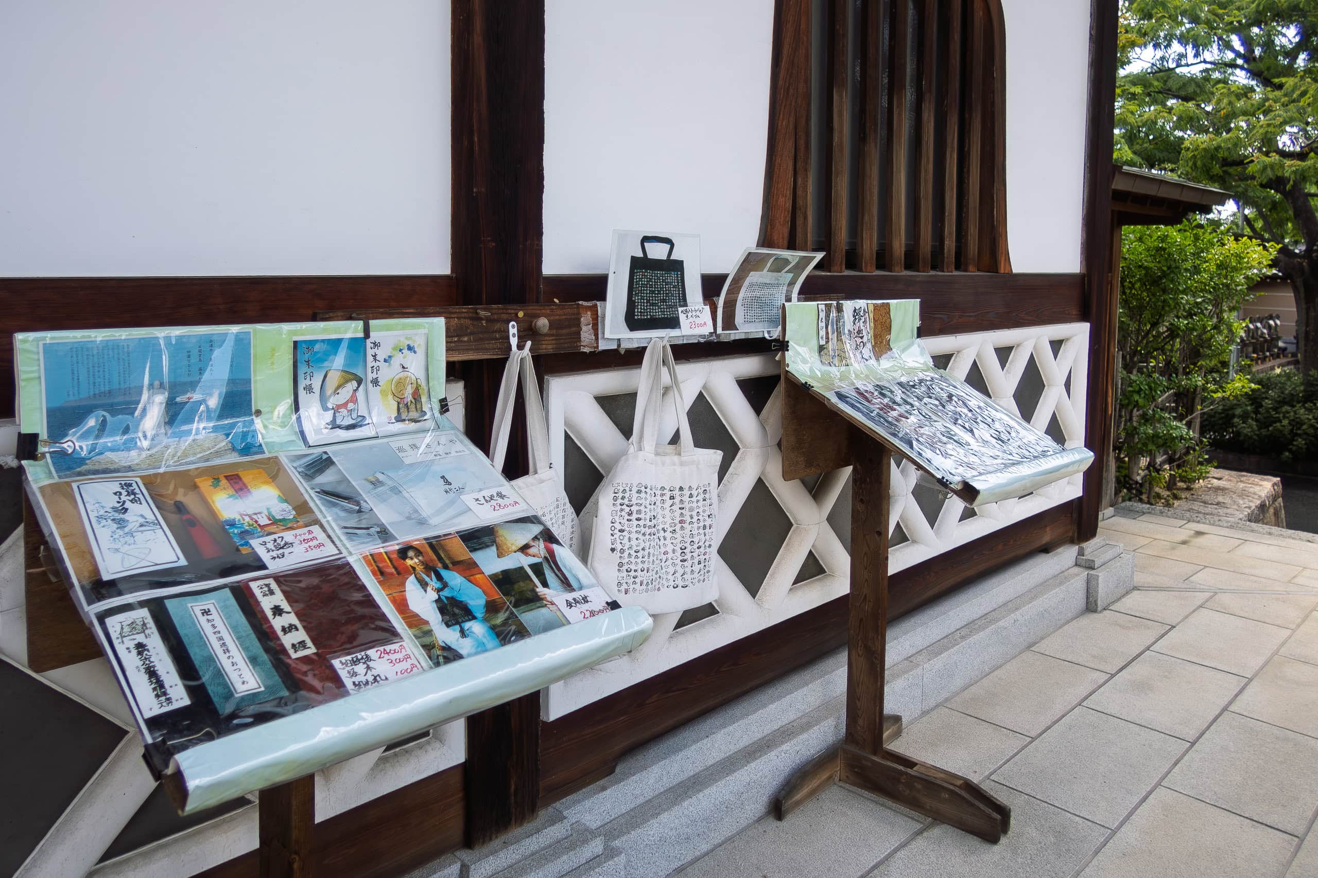
Some were full of flags, posters, and even pilgrim goods around the stamp office, while others had absolutely nothing — so little that I found myself double-checking the temple name and map just to make sure, “This really is a pilgrimage temple, right?”
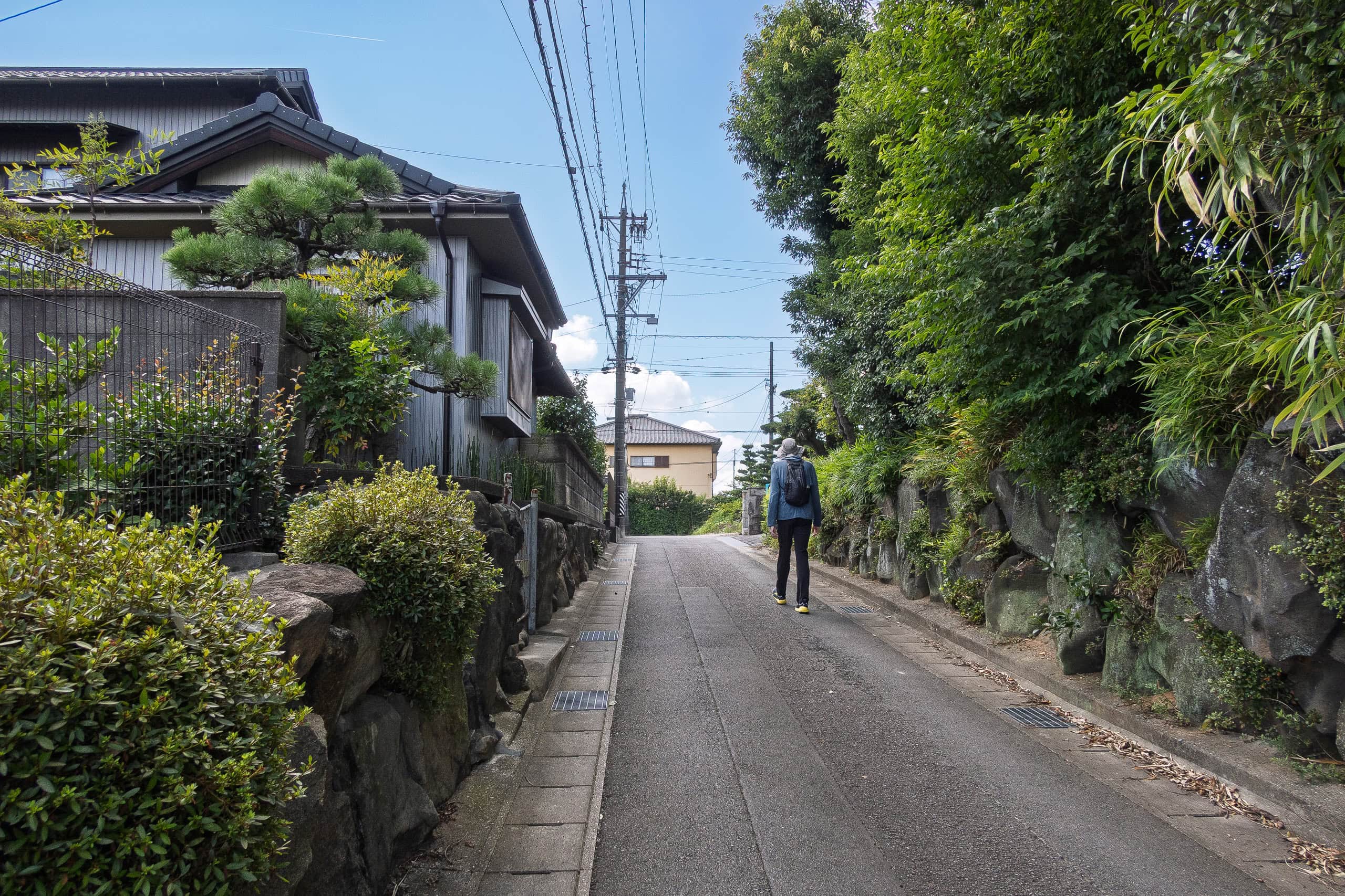
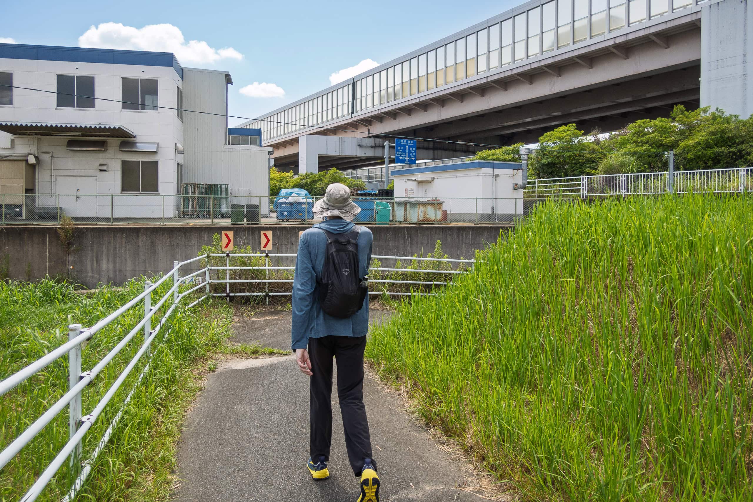
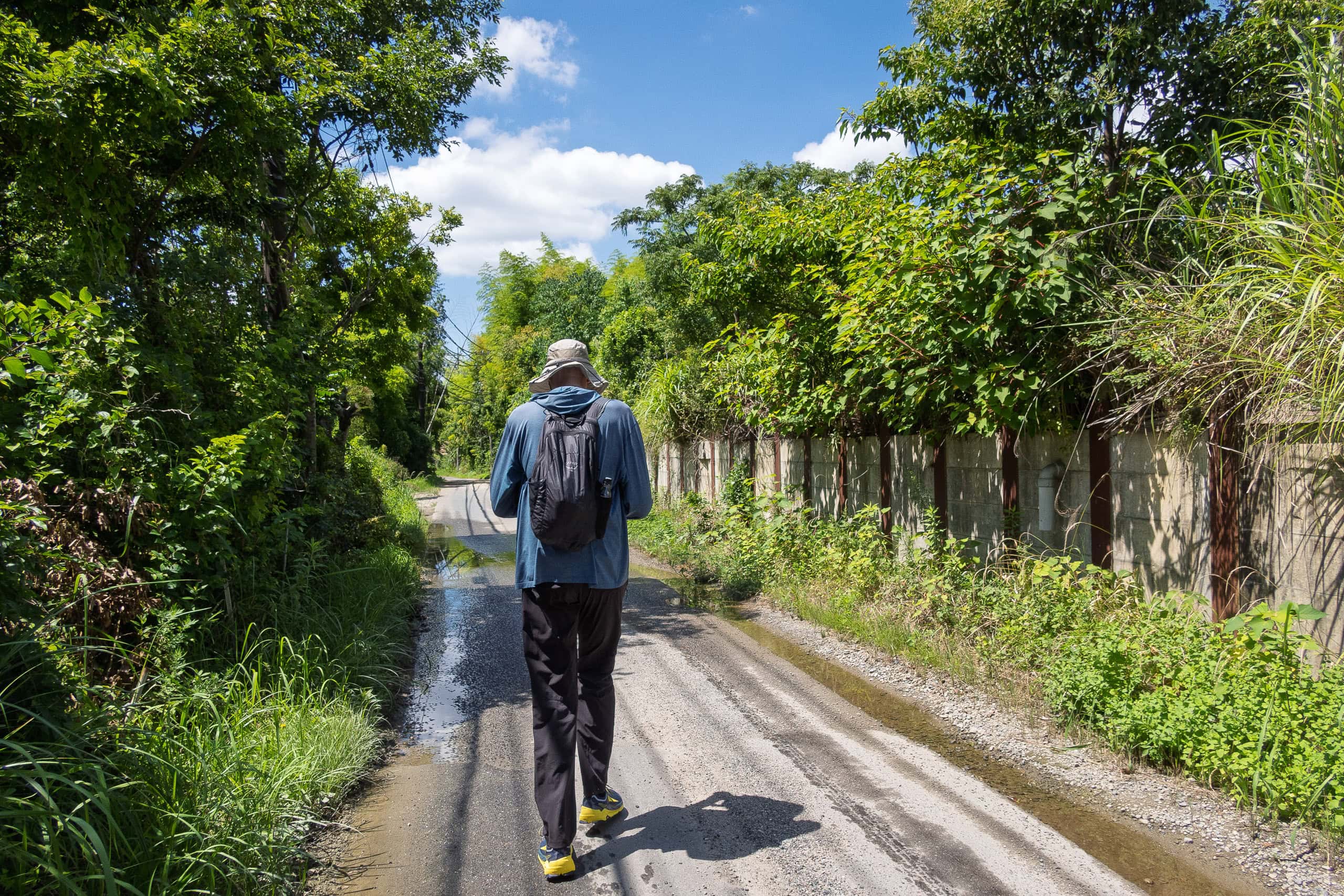
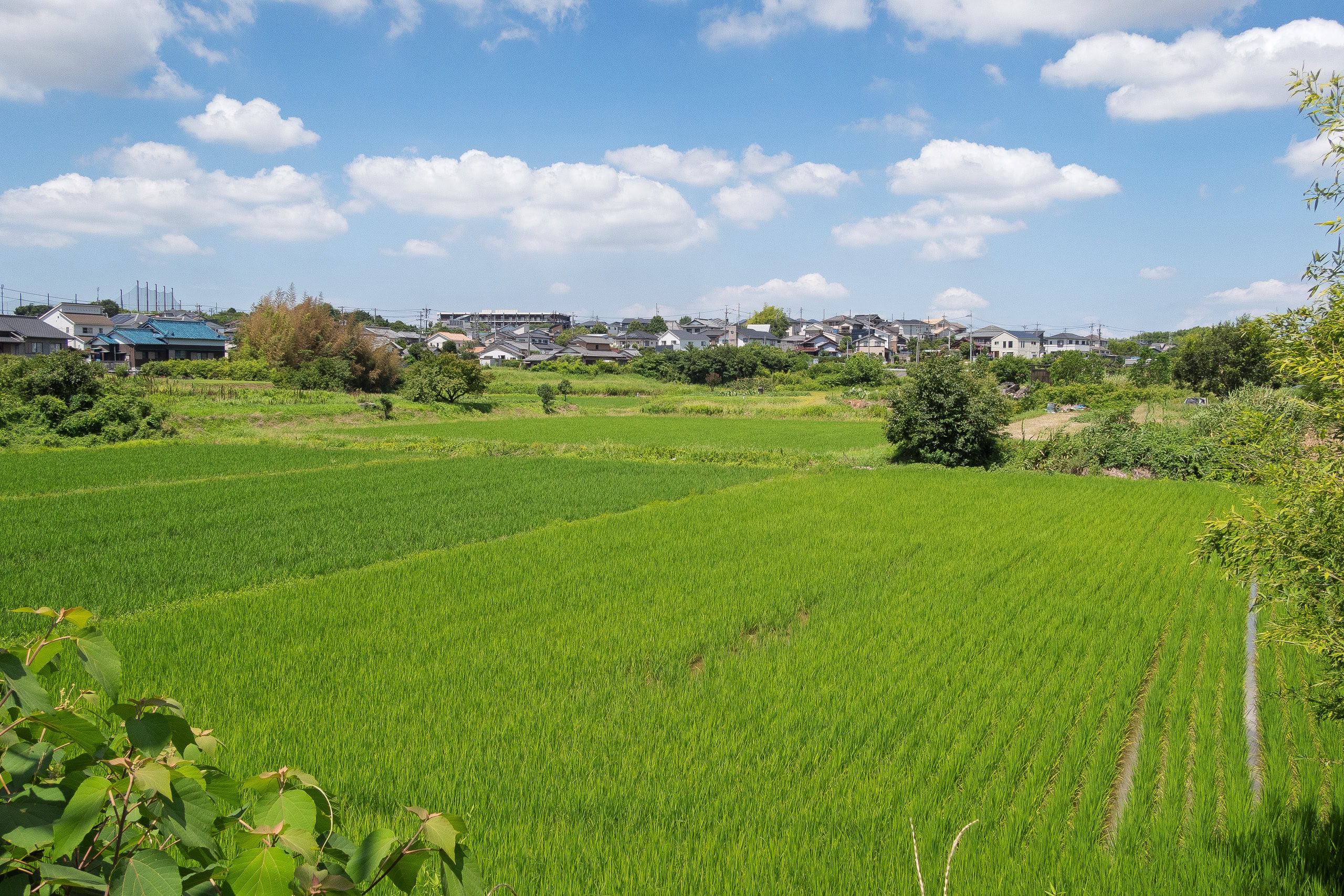
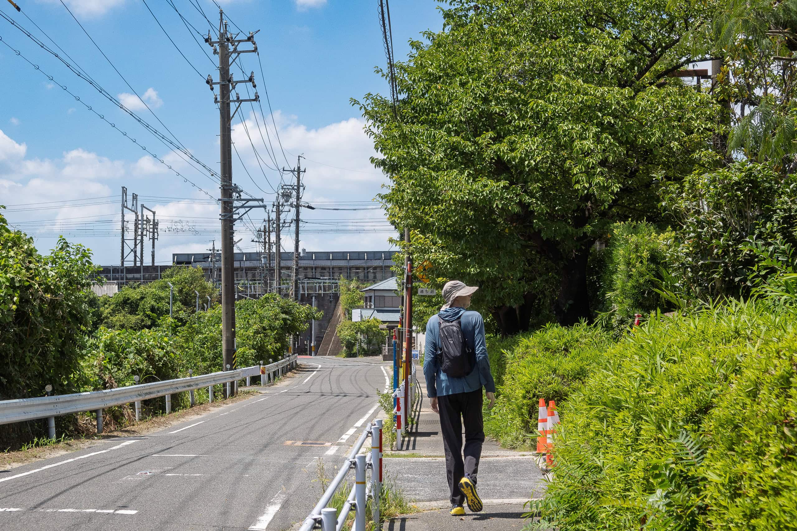
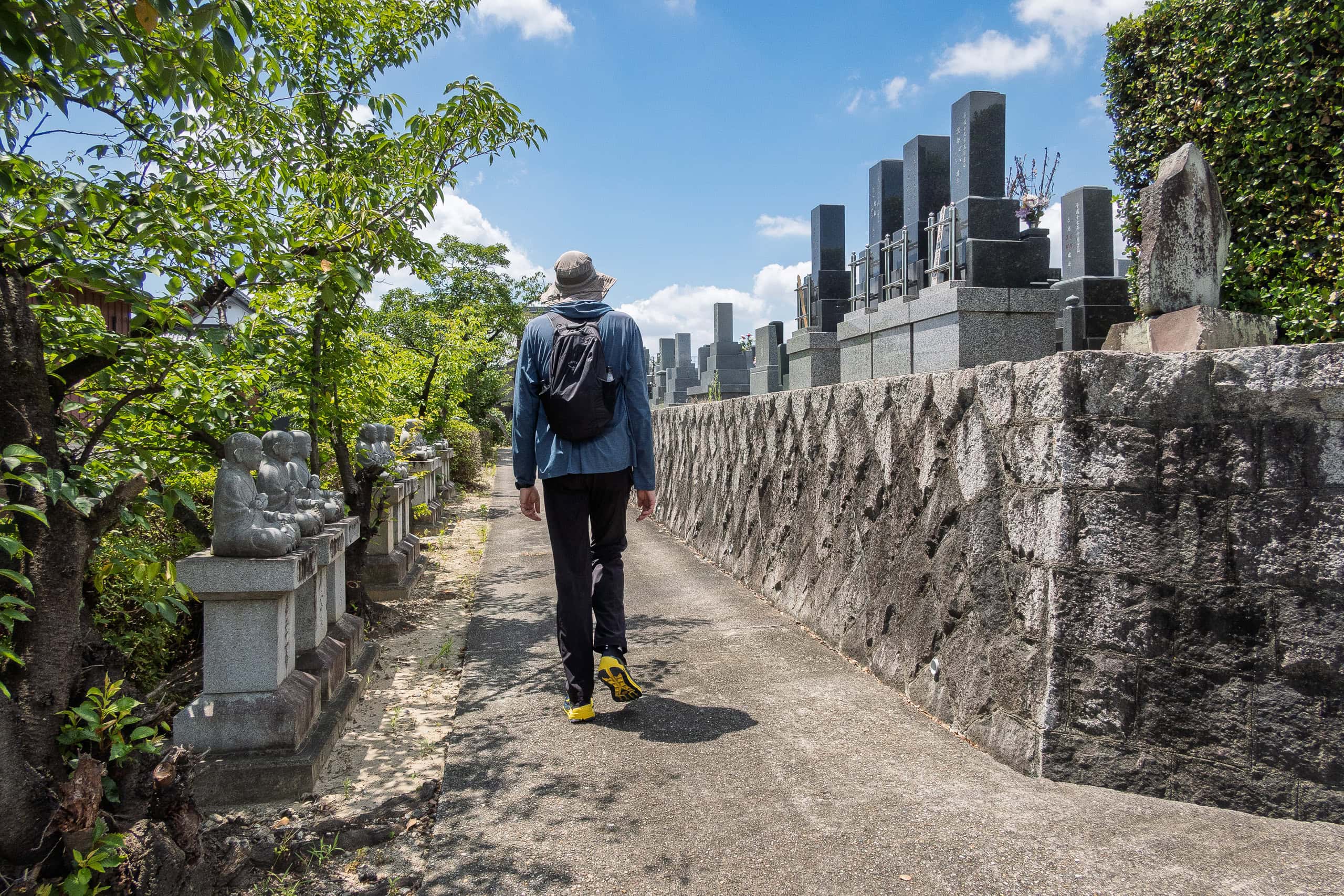
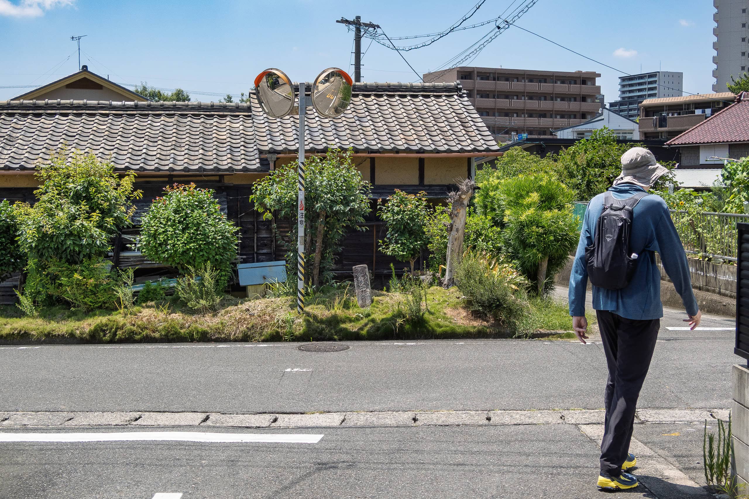
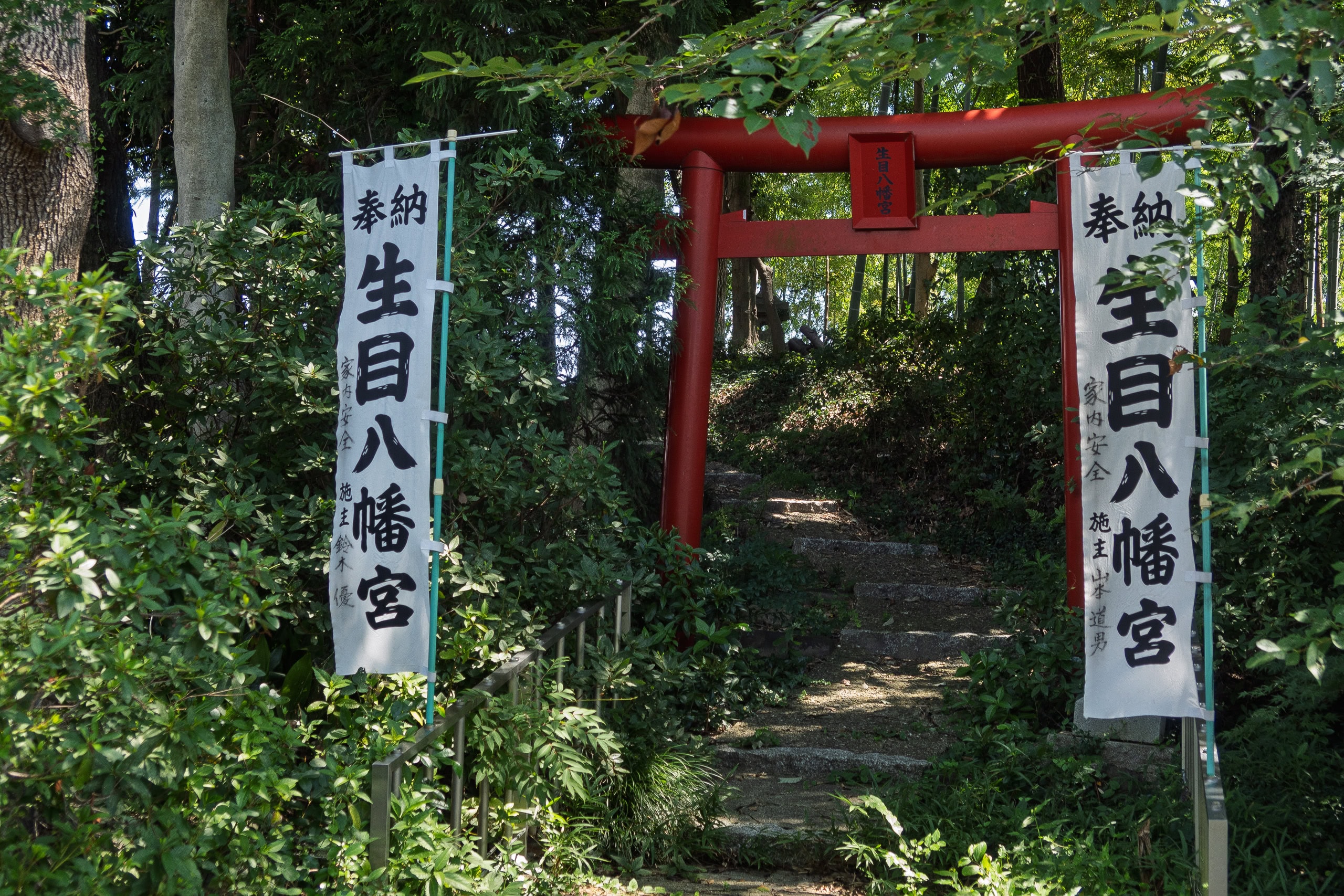
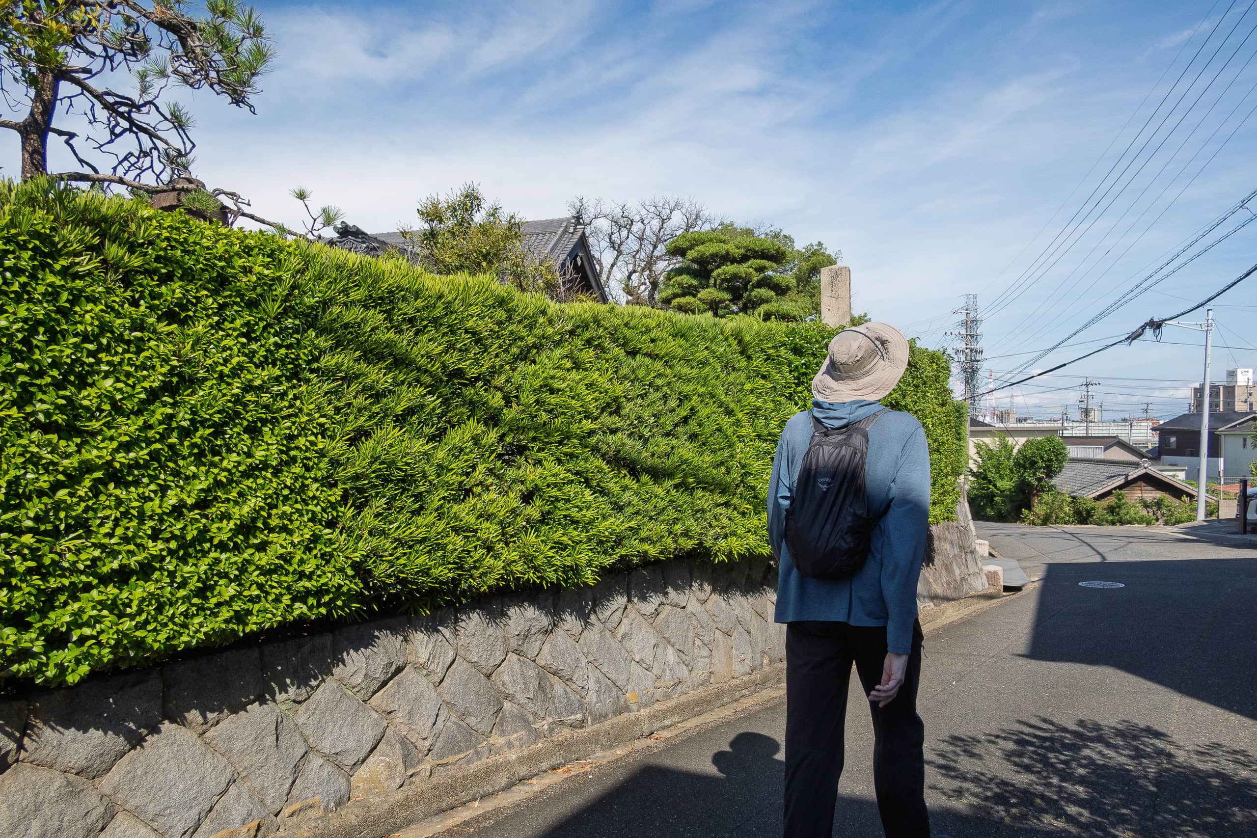
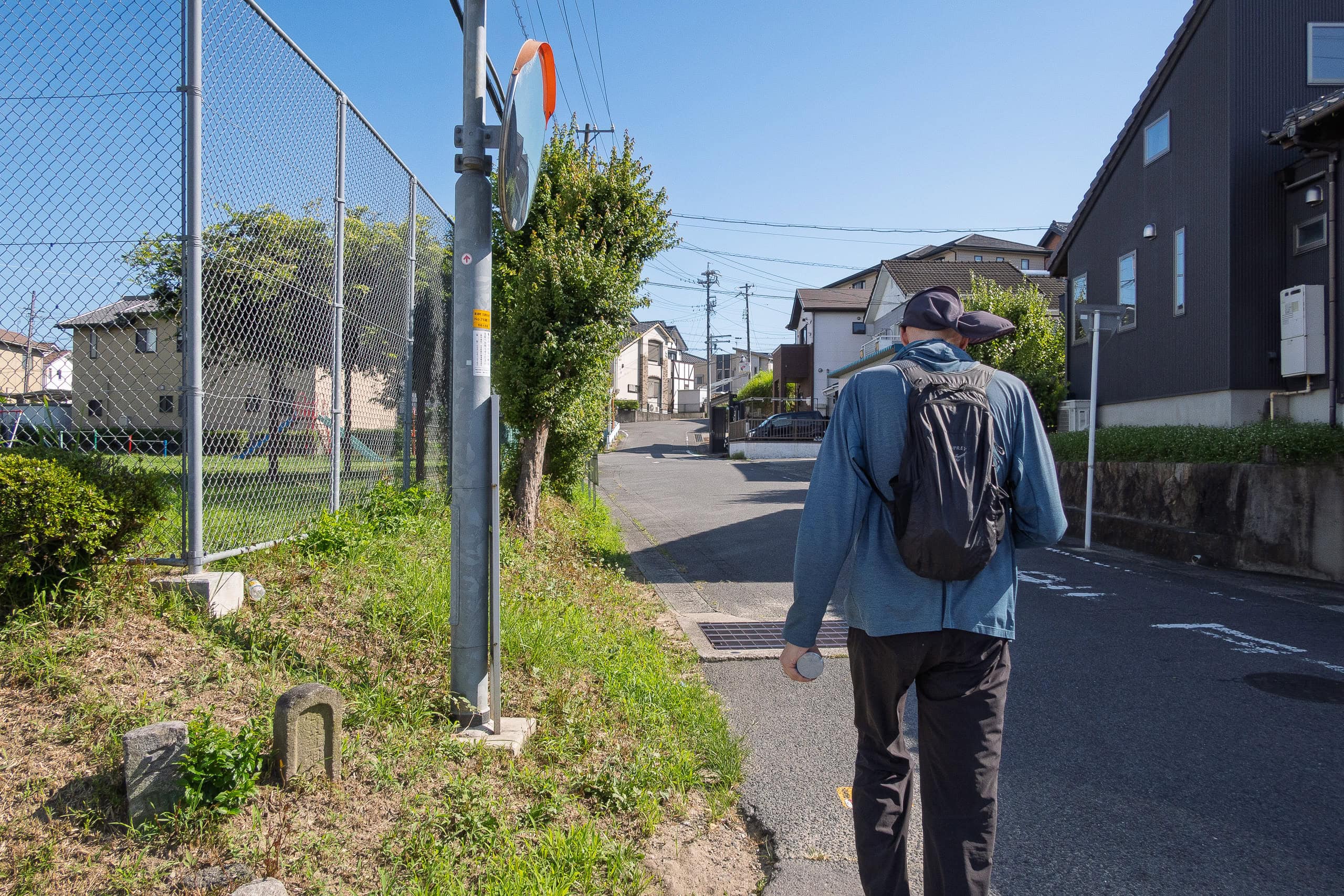
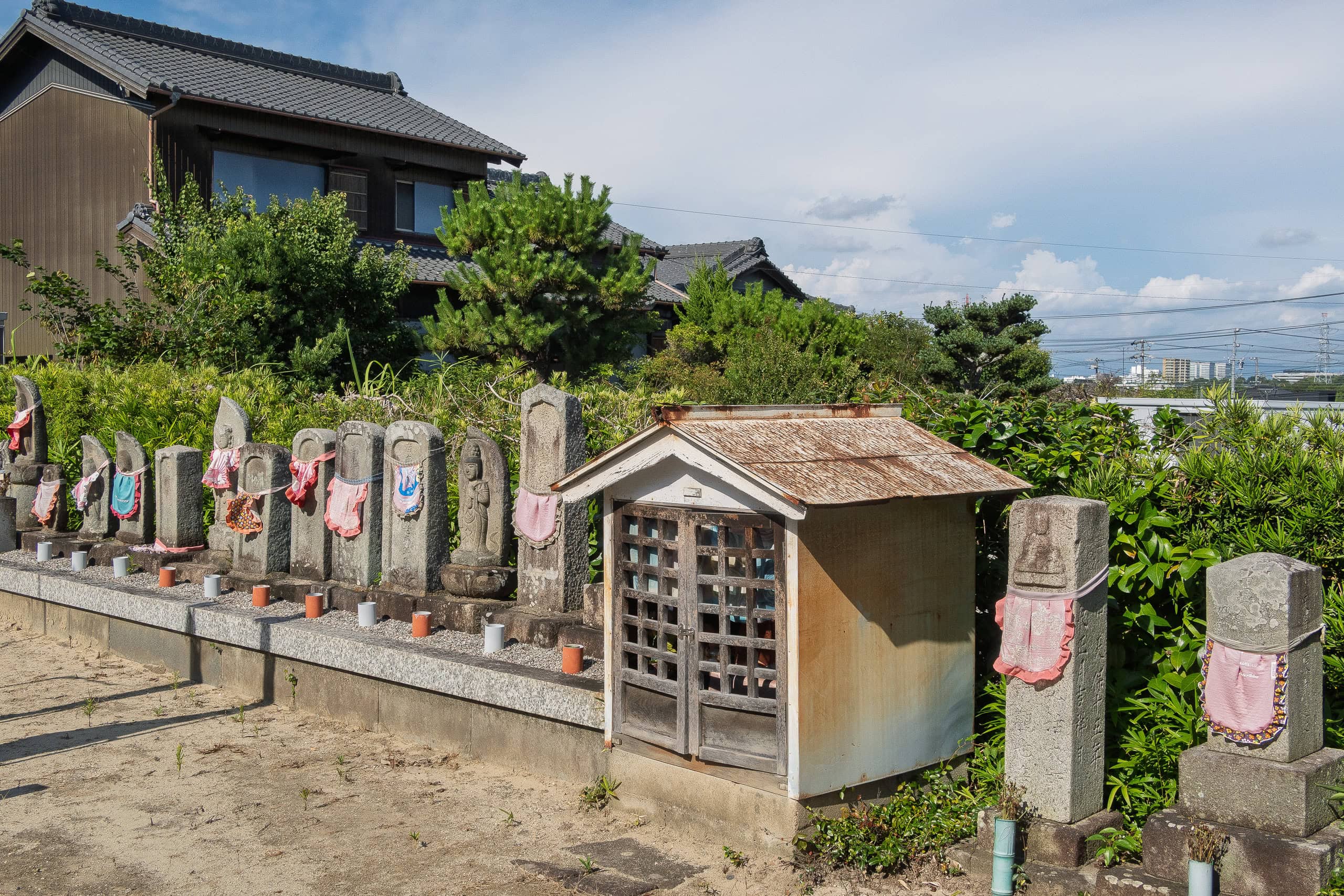
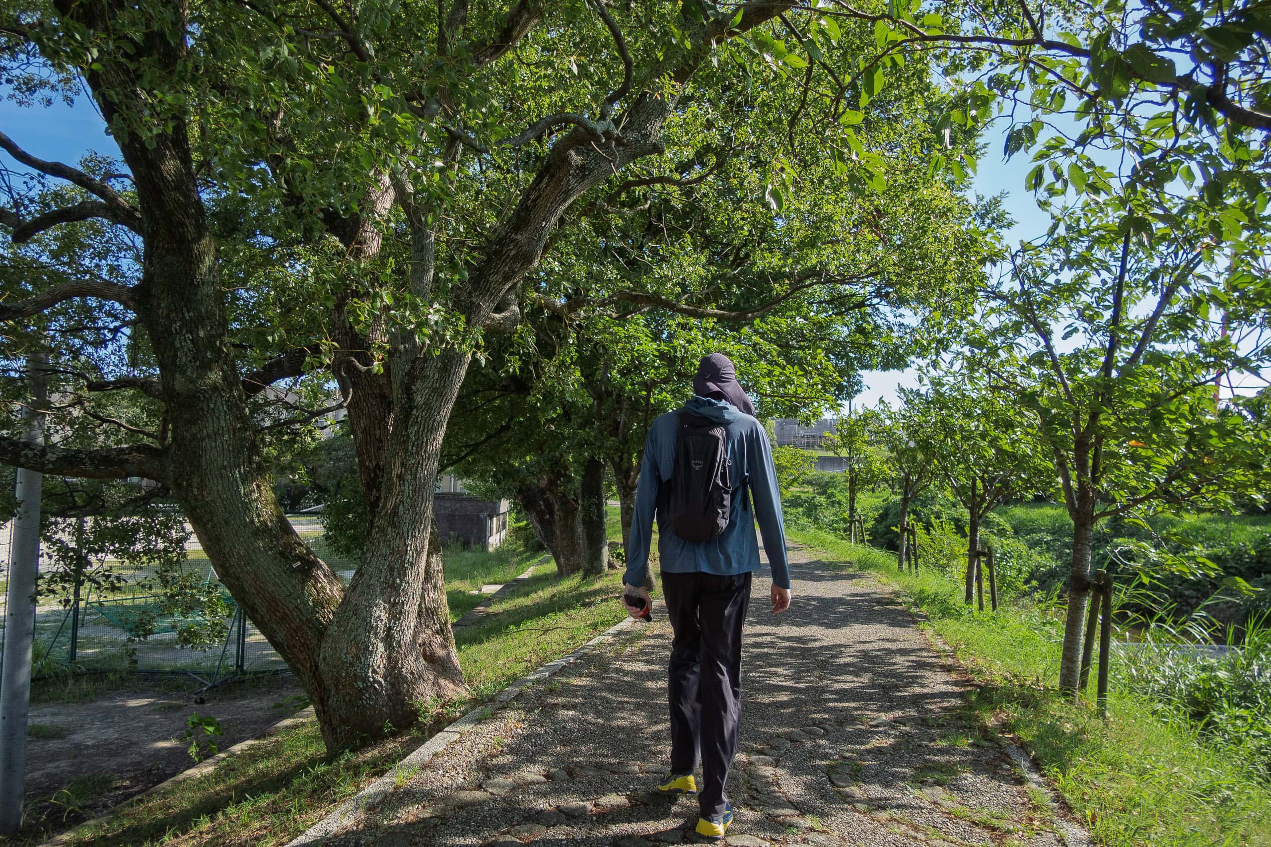
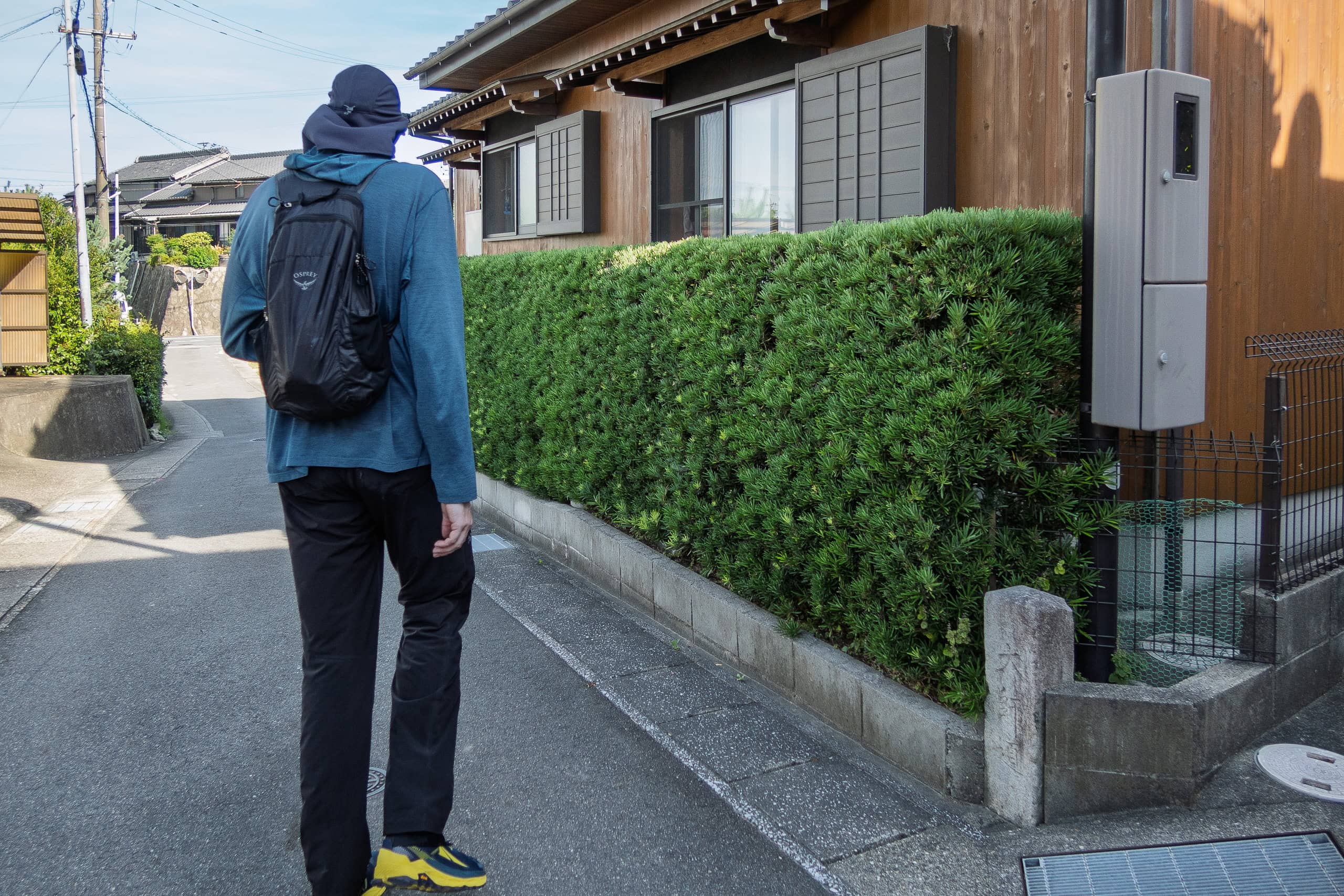
The so-called “old pilgrimage trail” (henro-michi 遍路道 in Japanese) has basically disappeared
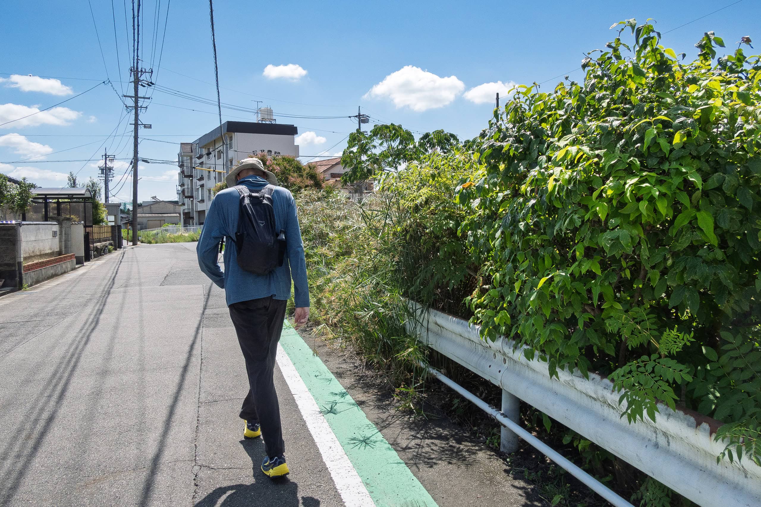
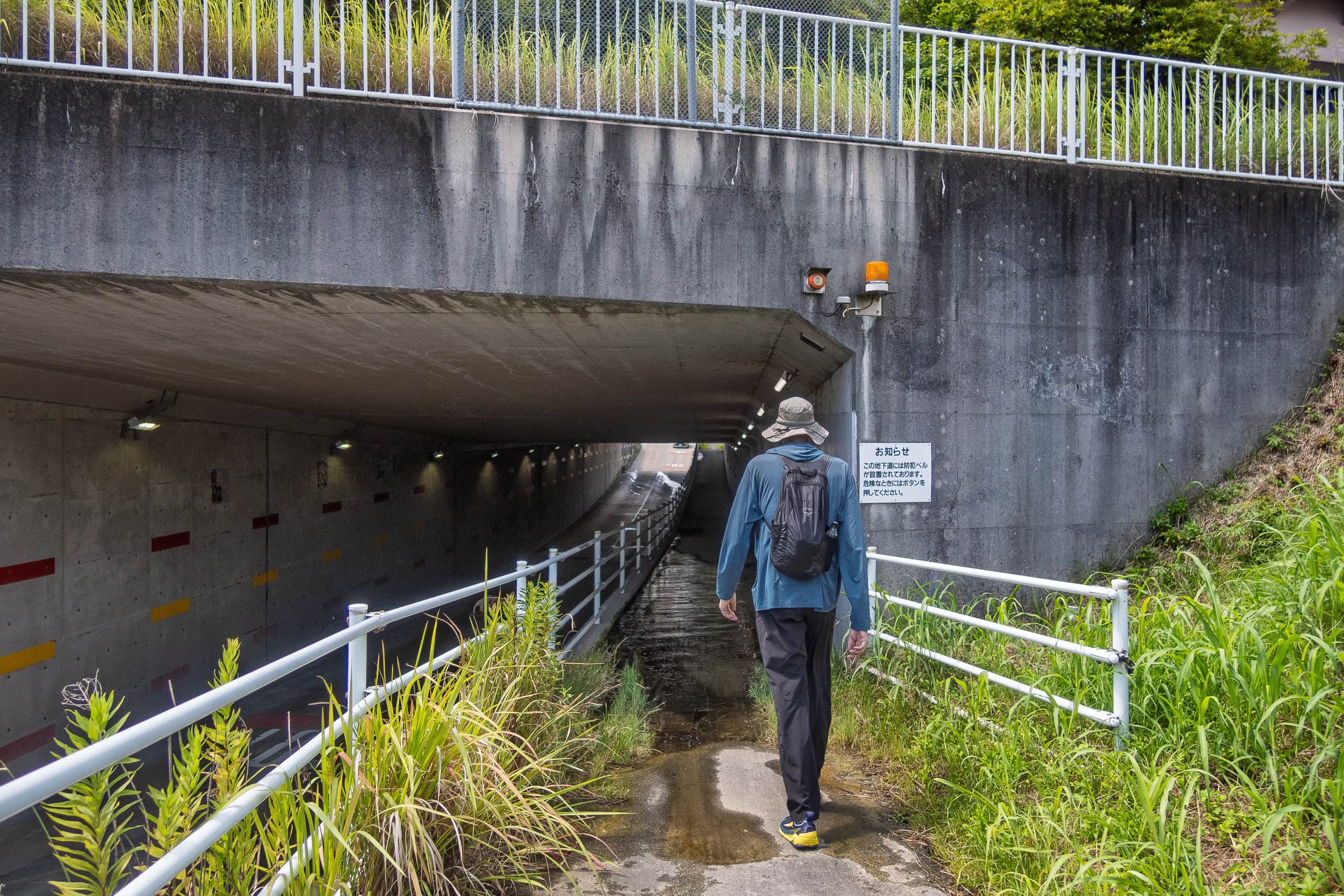
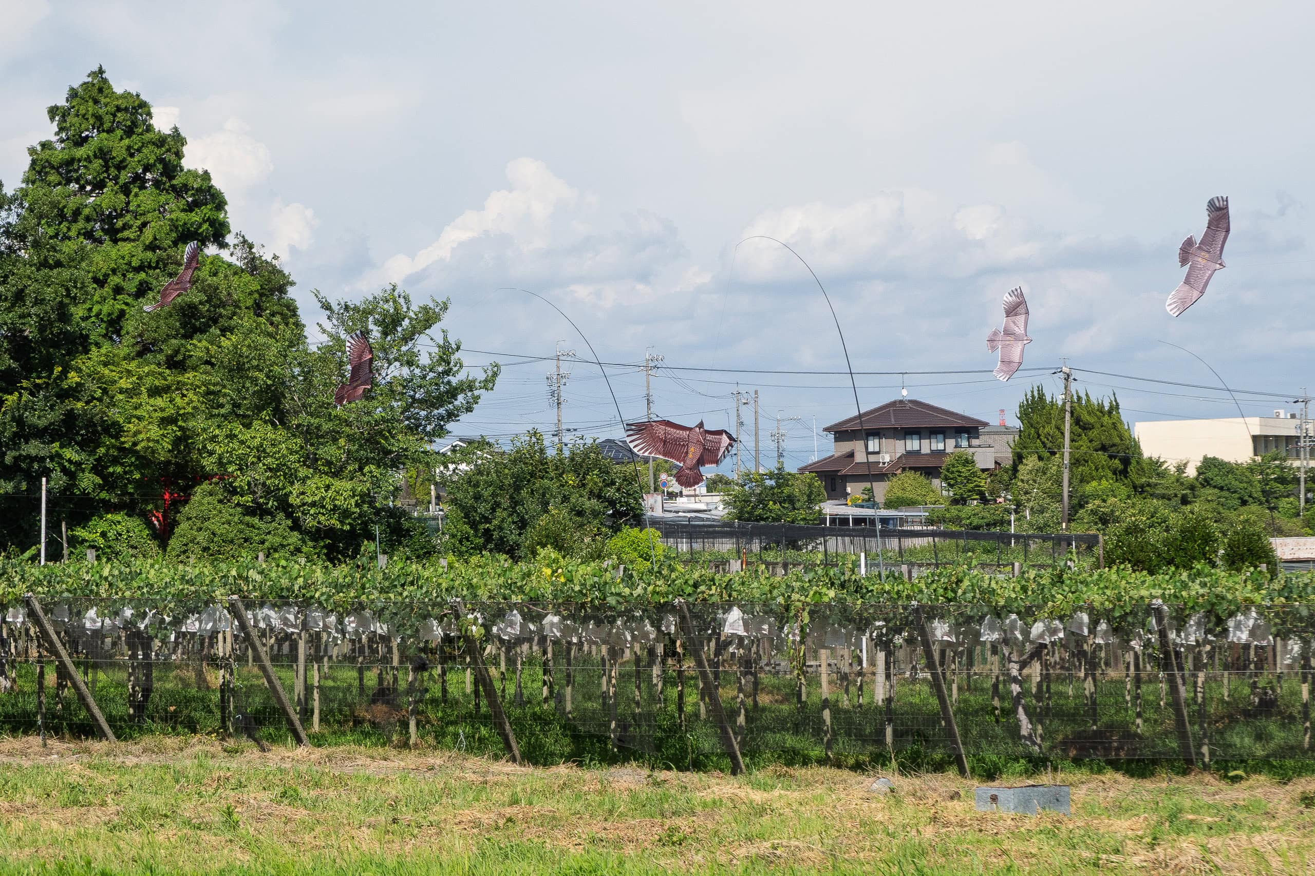
Since there were never really mountains here in the Chita Peninsula, the old roads that once ran through towns and neighborhoods are now just regular paved streets.
Looking back, it’s no wonder that several friends of mine who had already completed the Chita pilgrimage all said the same thing: “Honestly, it would have been better by bicycle than on foot.” Now that we’ve seen it, we can only nod in agreement.
Heat, Struggles, and a Café That Saved Us
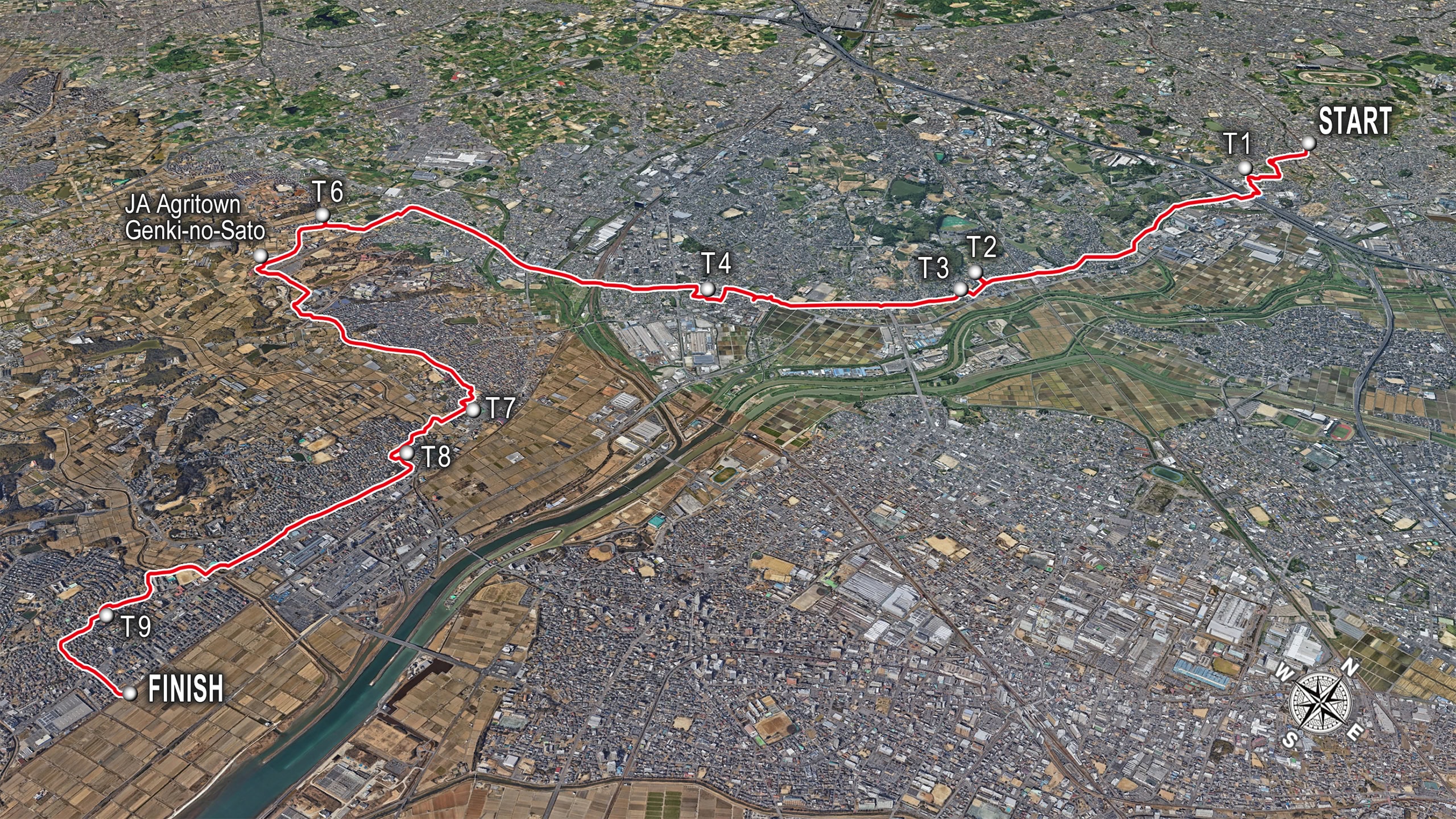
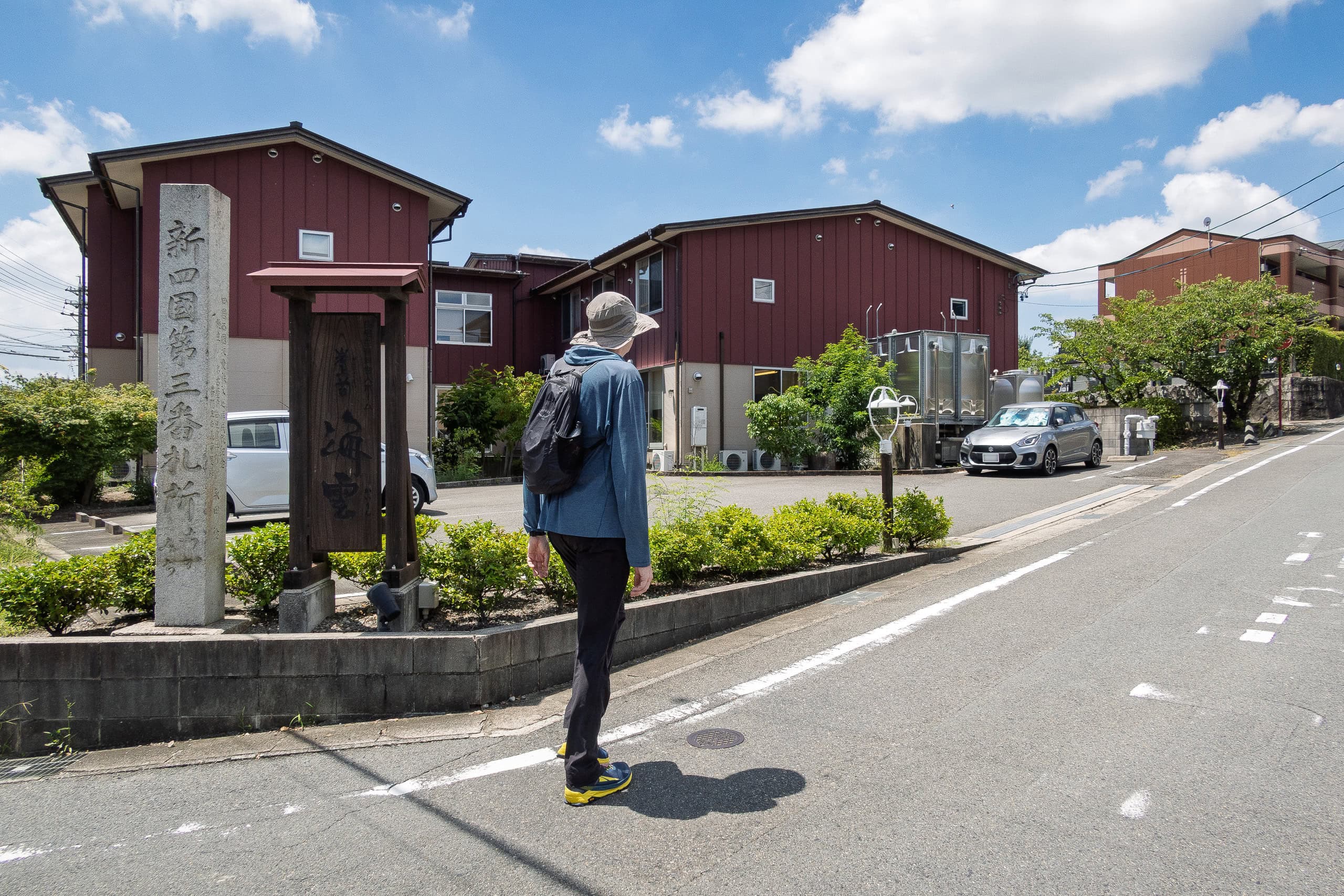
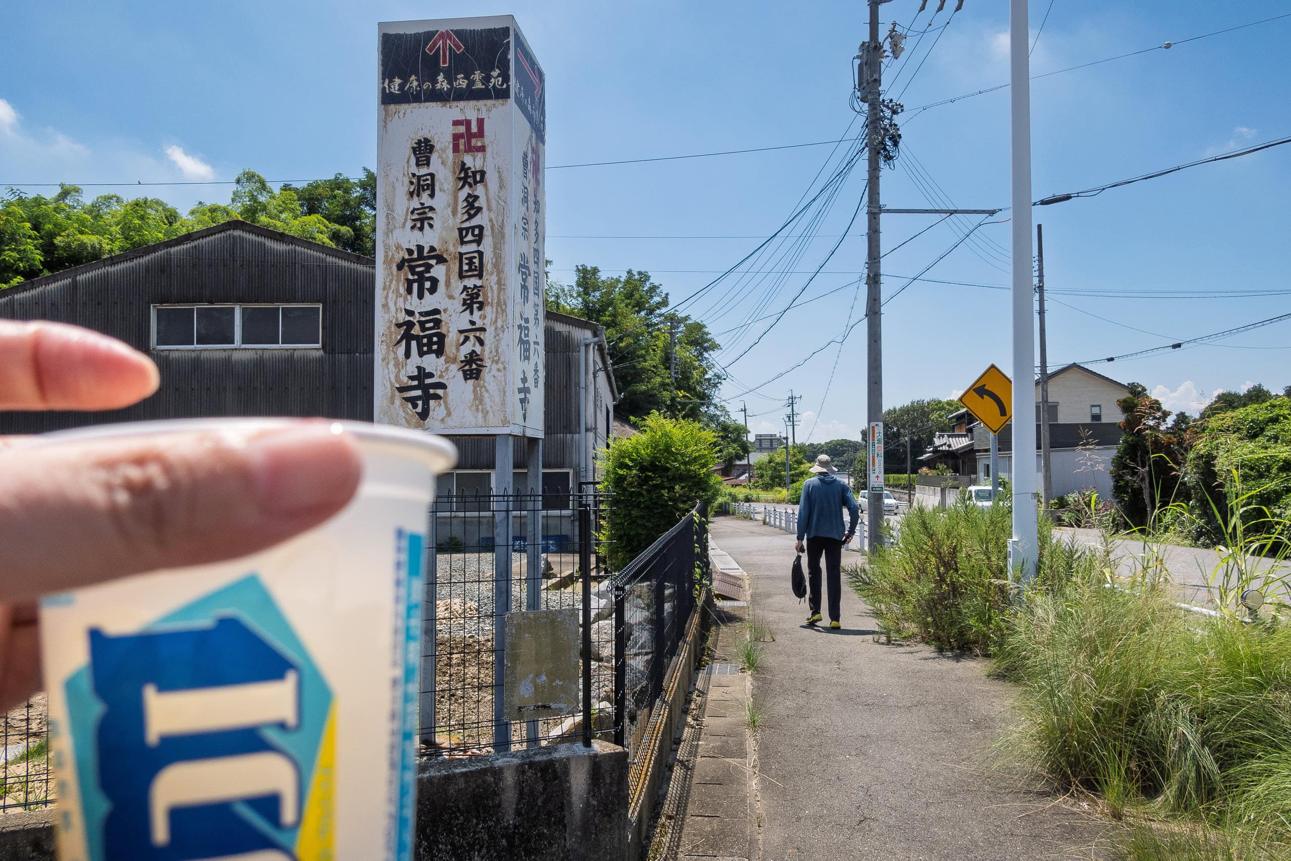
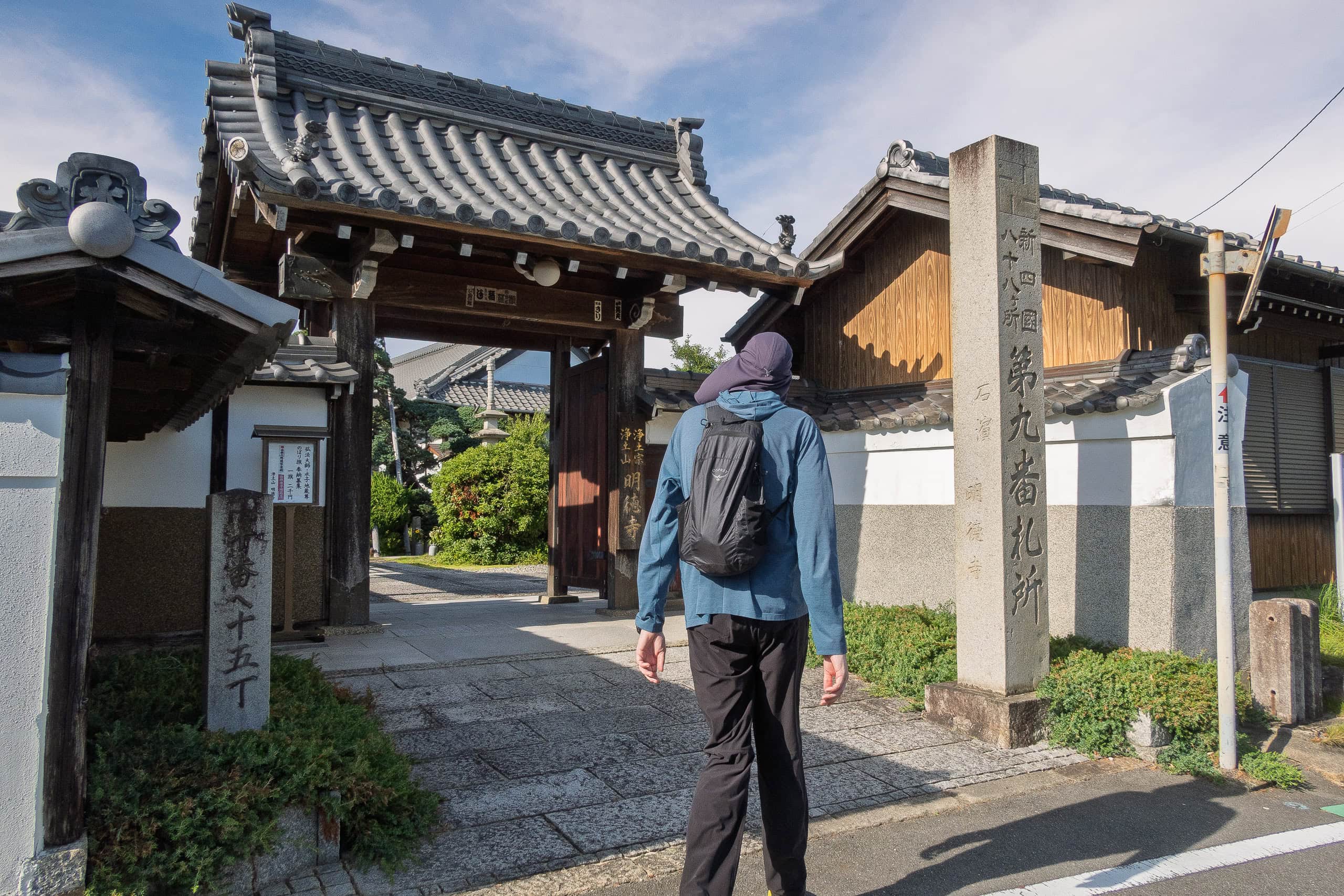
On Day 1, we started from Mae-no Station on the Meitetsu Line and visited Temples 1~4 and 6~9. Temple #5, however, is located closer to Temples 87 and 88, so to make a cleaner one-stroke loop for our Chita pilgrimage, we left that one for the last day instead of visiting it on the first day.
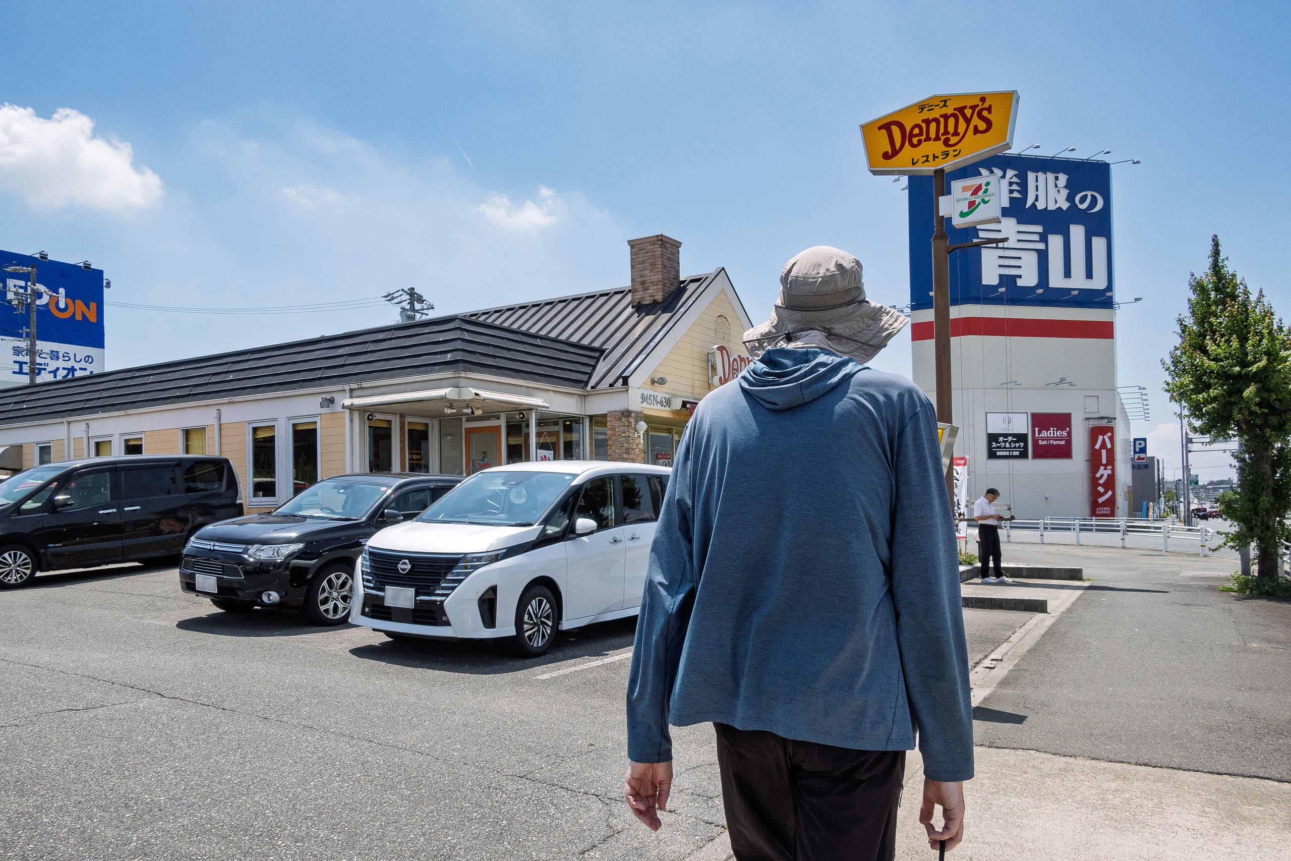
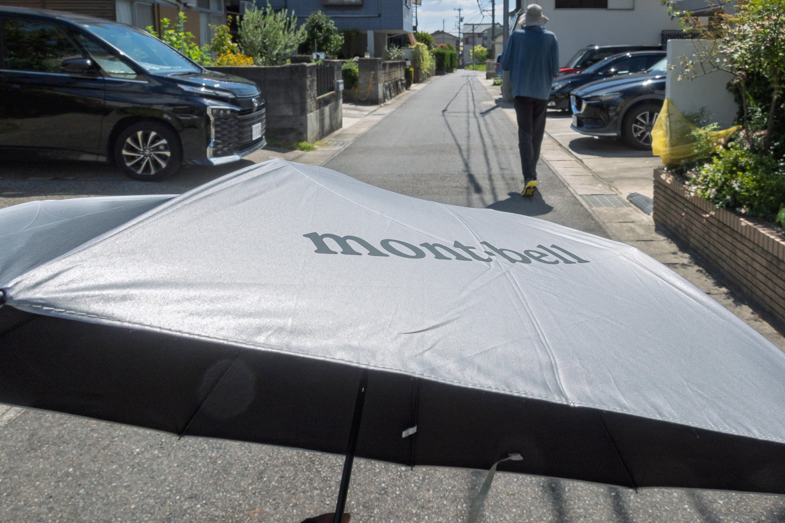
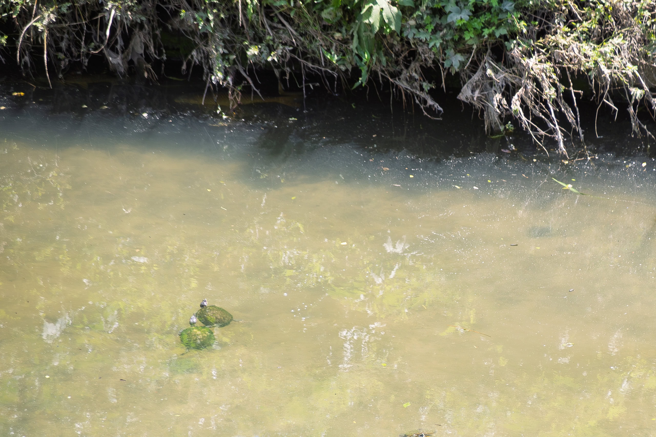
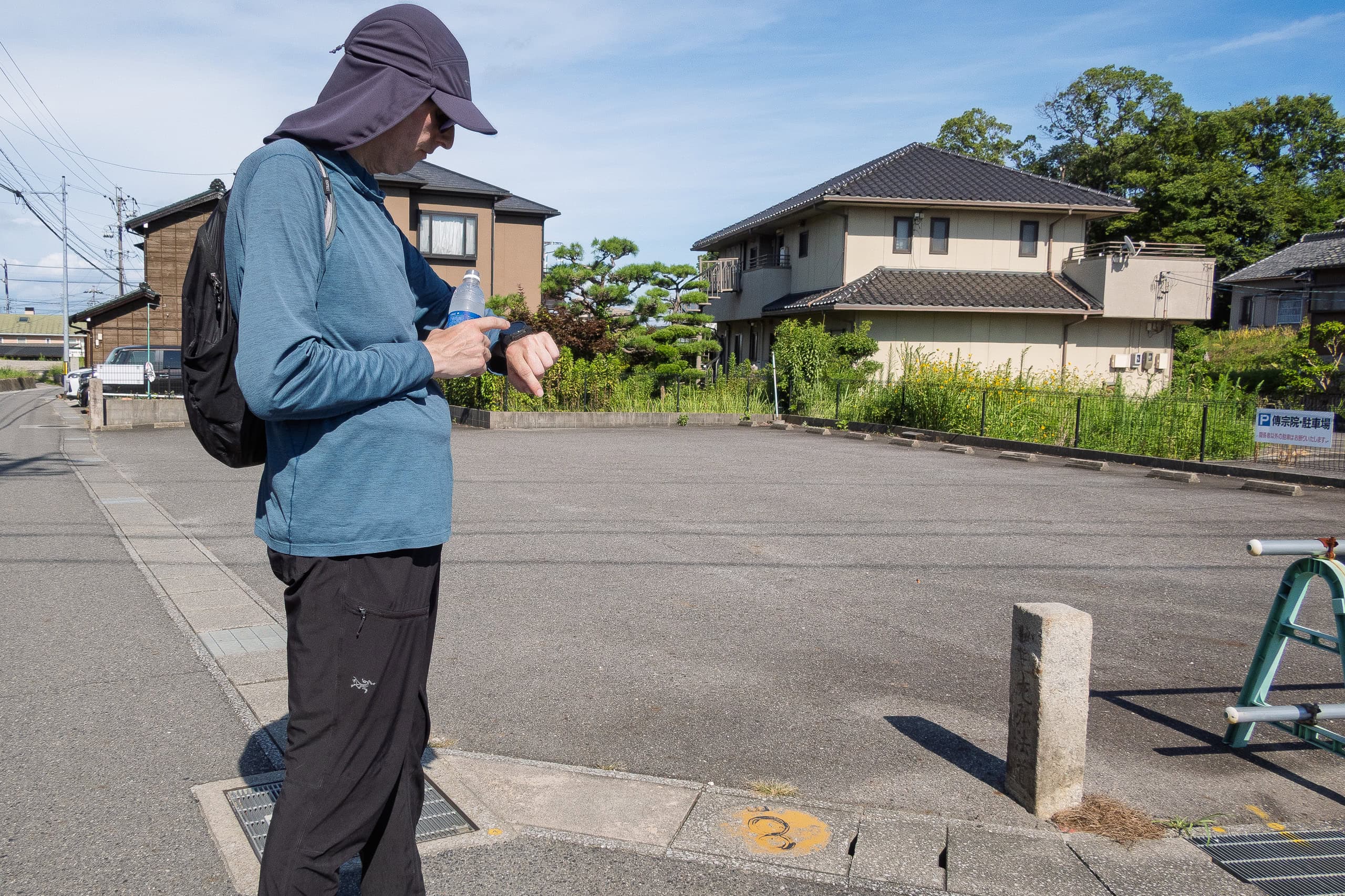
We were mentally prepared for the extreme heat, but it was brutal. On top of that, there were surprisingly few places to sit down and rest — very few family restaurants or cafes along the way, and the ones we did find were packed on the weekend.
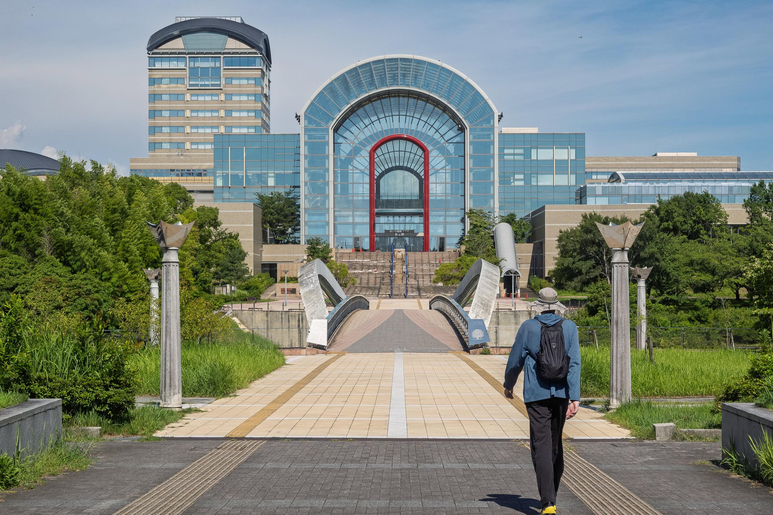
After visiting the first four temples and then walking endlessly along a highway with no shade, we finally reached a family restaurant — only to find it completely full, families waiting outside too. We gave up on trying to get in.
With no other cafes or family restaurants around to sit and cool off, we stopped briefly inside a big electronics store, getting drinks from the vending machine there, then crunched on a frozen “Ice Box” from the convenience store on our way to the next temple.
We took a short rest at the shelter in front of the main hall.
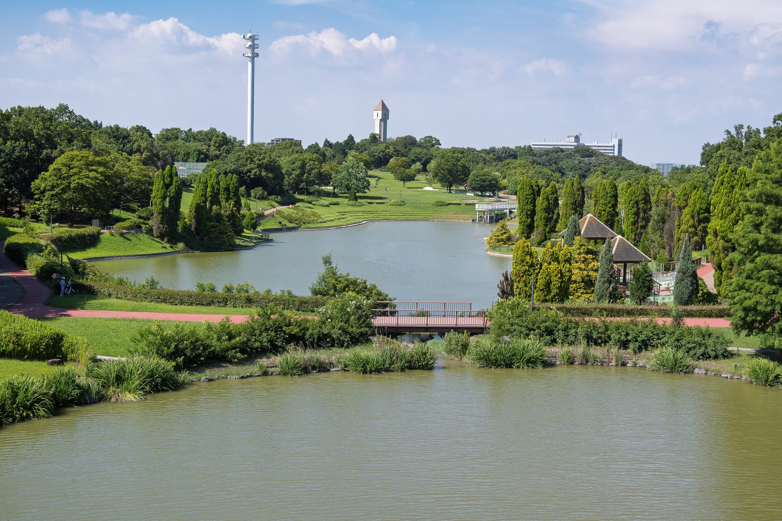
Apparently, the Chita Peninsula doesn’t have a single roadside station (Michi-no-Eki 道の駅). But near Temple #6 Jofuku-ji, there’s a facility called SukuSuku-ga-Oka すくすくヶ丘, and we rushed inside.

SukuSuku-ga-Oka is part of this large leisure complex called JA Agri Town Genki-no-Sato, which also includes a farmers’ market and a super sento (a large public bathhouse with hot springs and saunas).
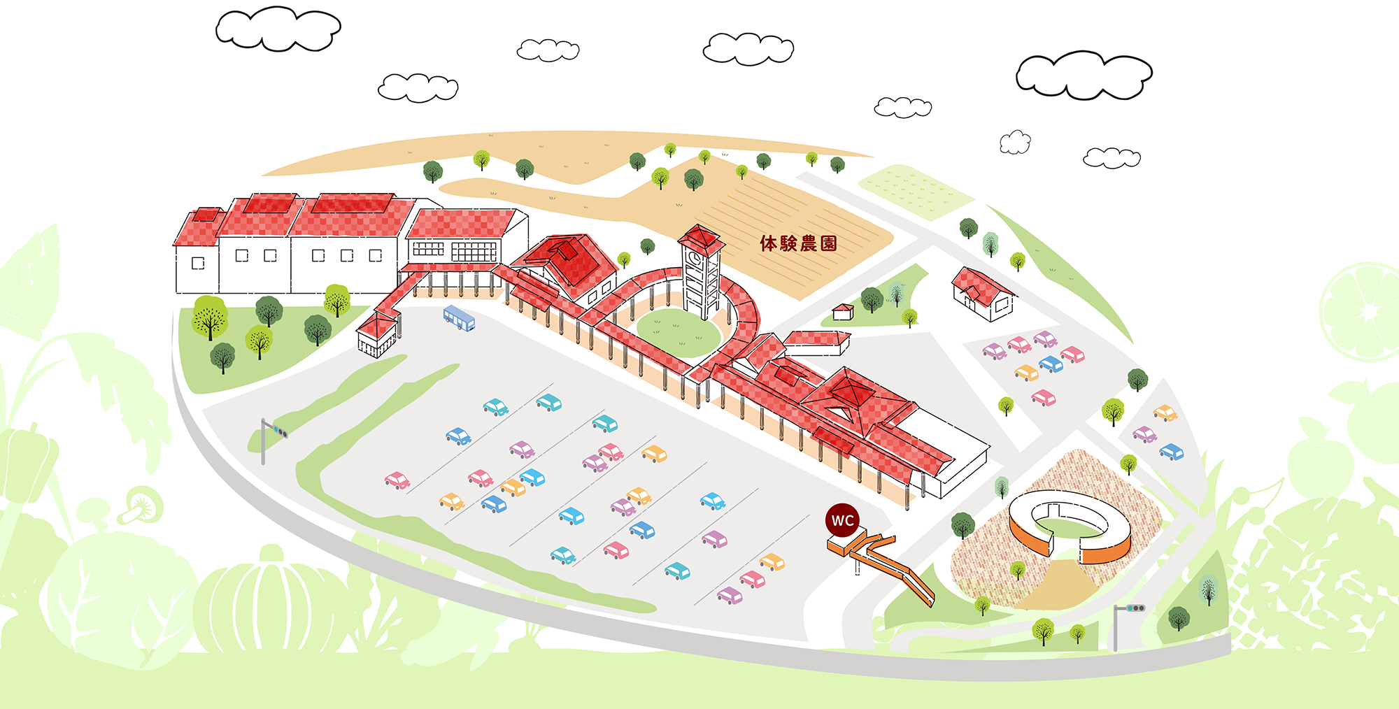
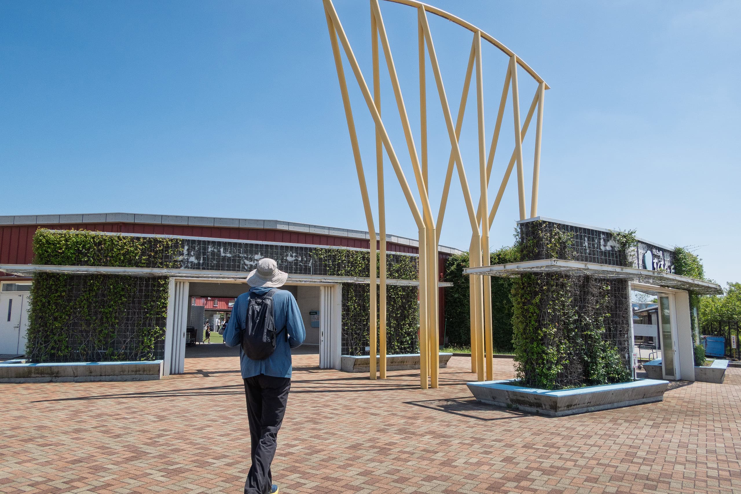
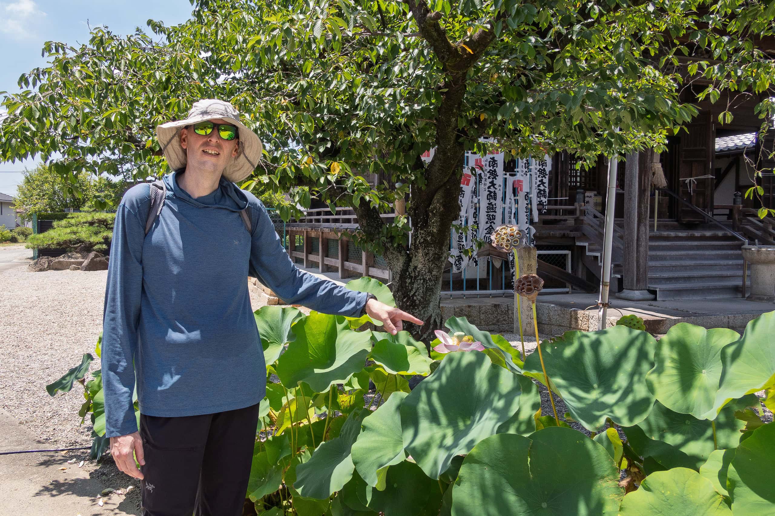
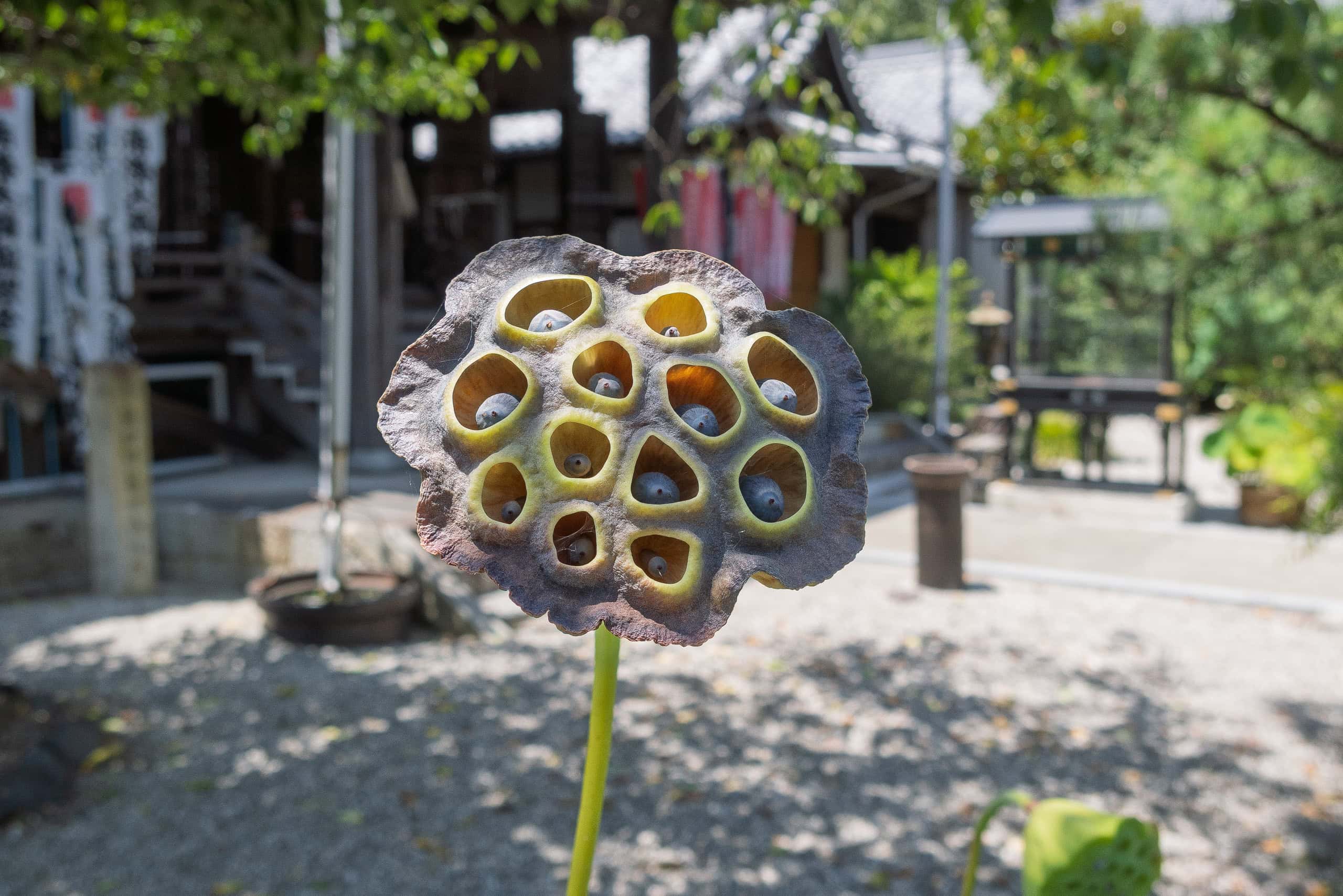
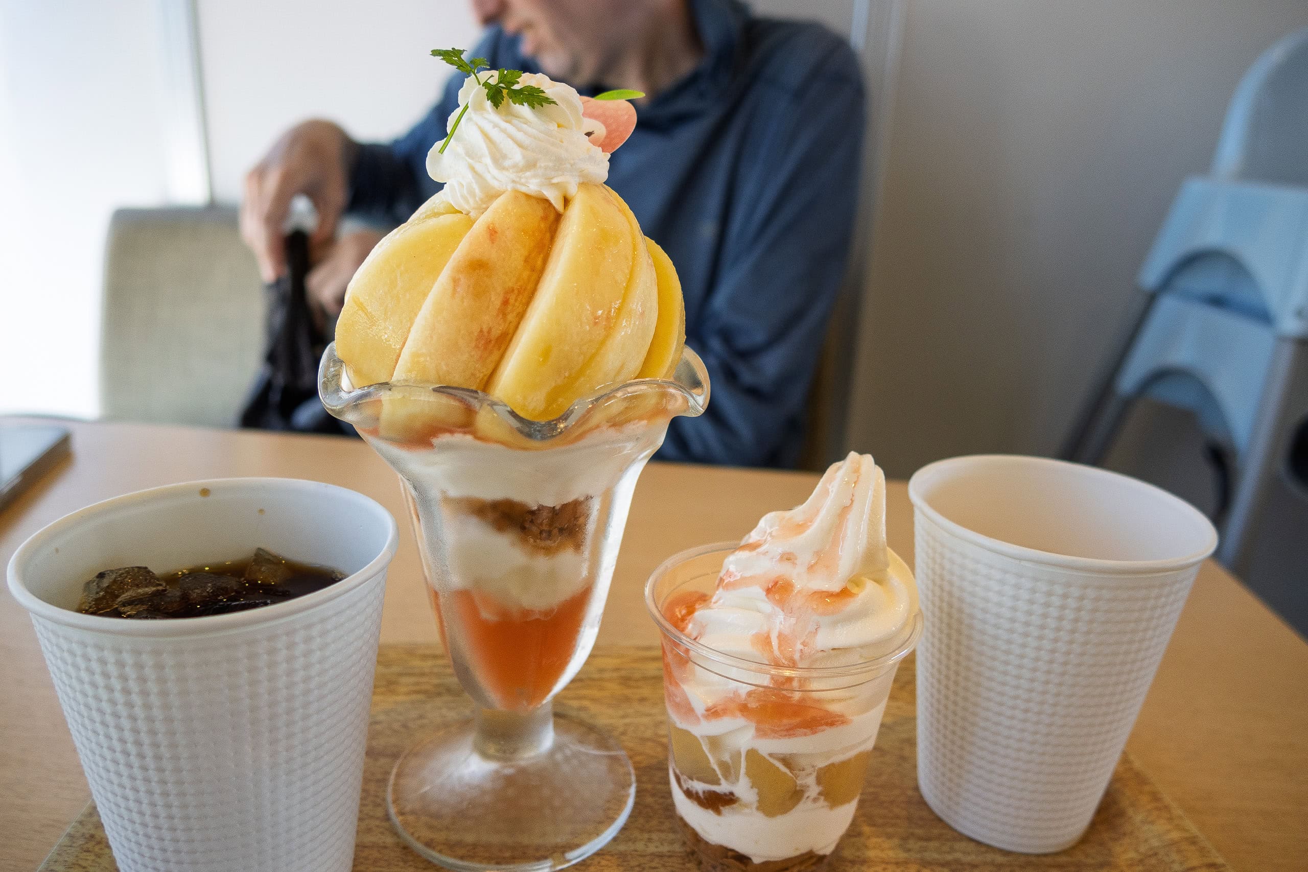
In the middle of the ring-shaped complex is a water play area for kids, full of families. The café was spotless, with plenty of meals and desserts. Seasonal fruit at the time was peaches.
I jumped straight at the “Super-luxury Peach Parfait (1.5 peaches!)”. With strong air conditioning, we could finally sit and rest. That café’s fresh, juicy peach flavor was beyond words.
It wouldn’t be an exaggeration to say this place saved our lives.
By the end of Day 1, our motivation had plummeted — not just cut in half, but down to about one-third.
And the paved urban roads themselves weren’t really the problem; it was the relentless heat.
Yes, we knew about it in advance and believed that preparation and willpower would carry us through. But faced with an unimaginable level of heat, we had to admit: we simply weren’t ready for it.
We had considered it as a lodging option, but skipped this time due to convenience and lack of nearby stores.
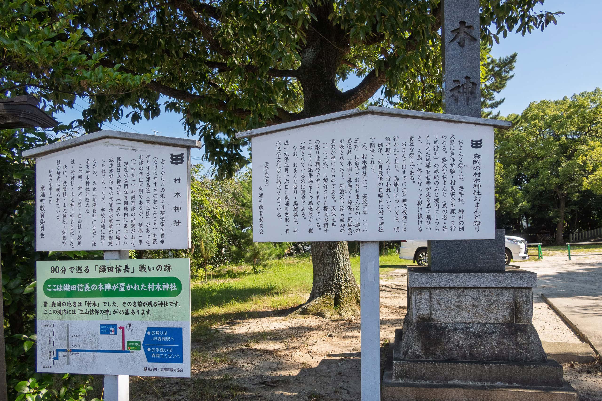
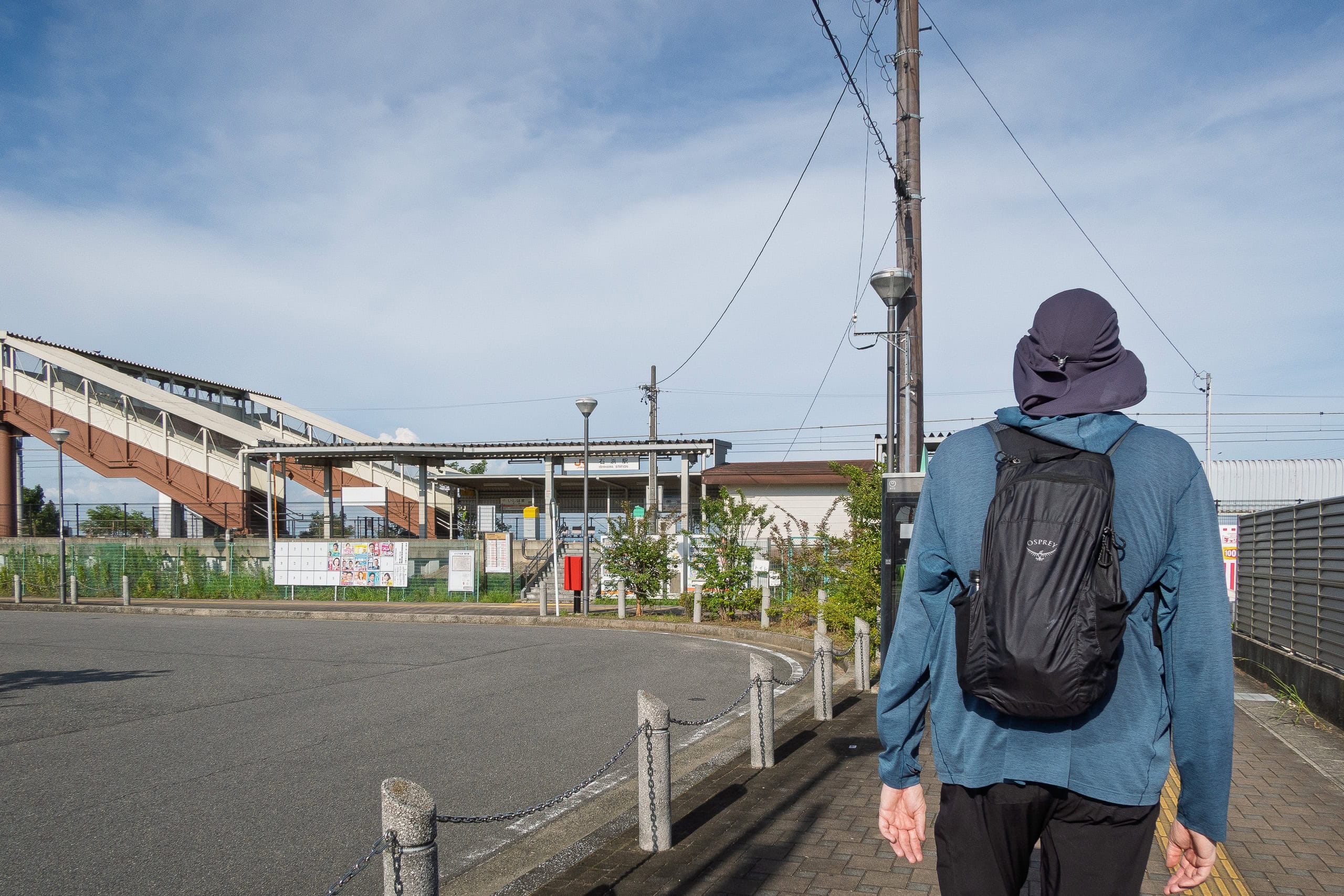
Shortly after visiting the last temple (#9 Myotoku-ji 明徳寺) for the day, we cut away from the pilgrimage route at a corner in an old neighborhood and headed down to JR Ishihama Station 石浜駅.
Two vending machines stood in front of the entrance as if waving to welcome us. We quickly bought three drinks each and downed two of them right away while sitting on the shaded platform stairs. On the train back to Handa, the third drink in hand, we finally felt our spirits return.
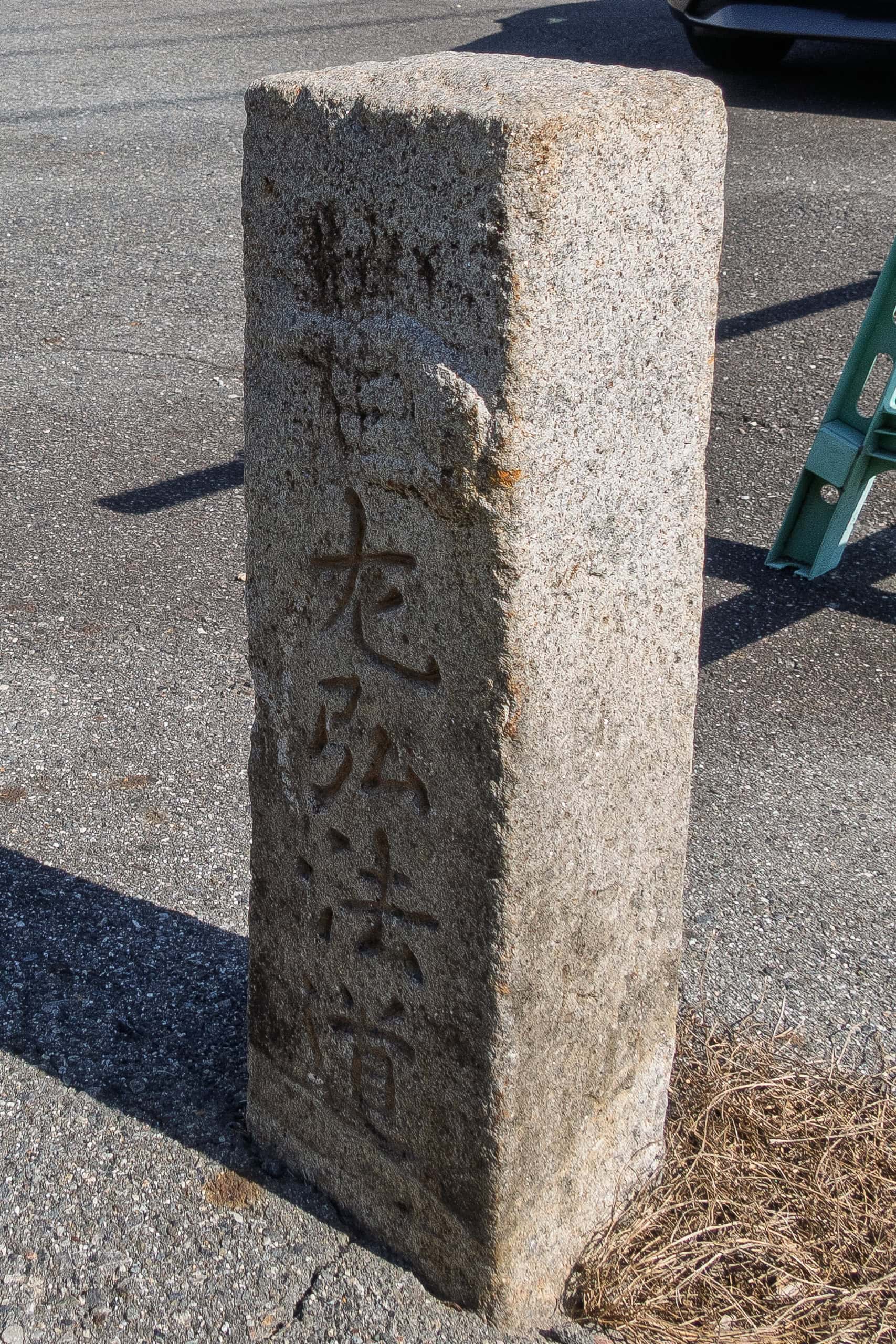
The pilgrimage path here seems to have been called Kobo-do (Kobo Road).
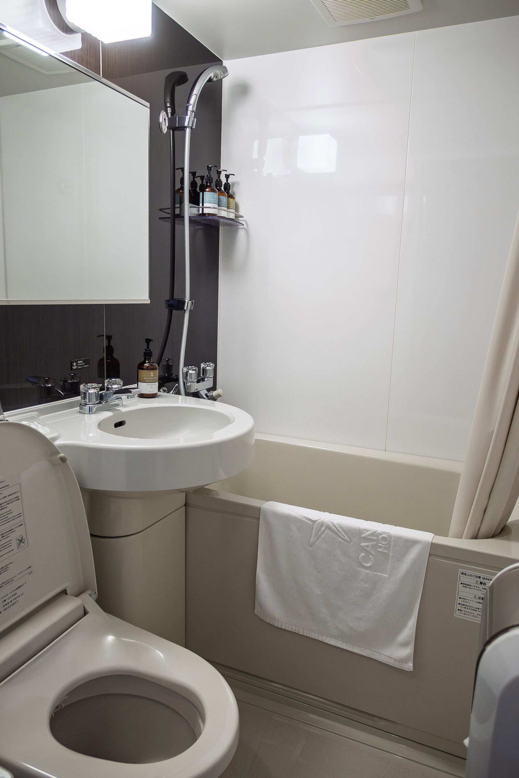
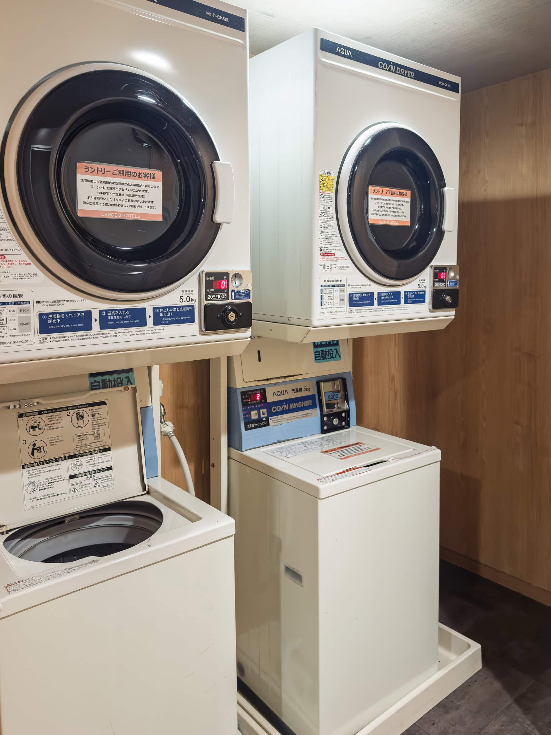
After a 20-minute train ride, we were back at the hotel. The public bath brought us back to life. And once again I felt grateful that we had prioritized accommodations with a washing machine. After a full day of being roasted under the sun, there’s nothing more satisfying than scrubbing the sweat-soaked clothes clean.
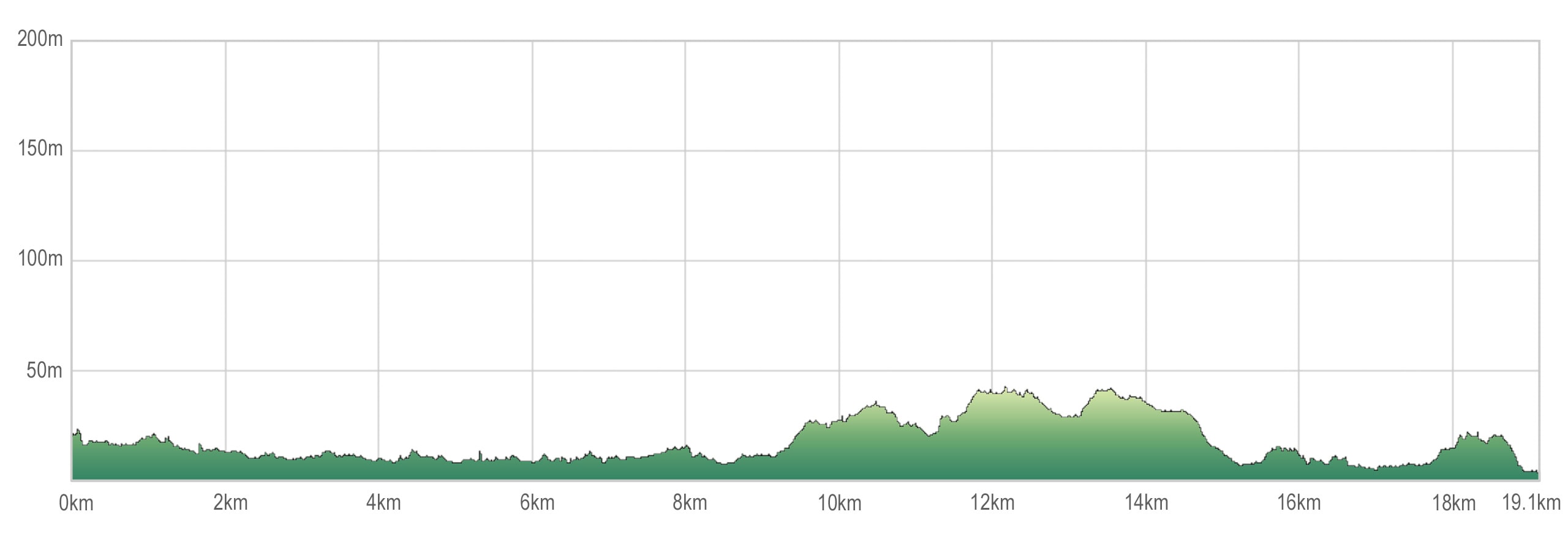
The Chita Pilgrimage – 1
| Start | Zengo Sta. |
| Distance | 19.1 km |
| Elevation Gain/Loss | 69 m / 87 m |
| Finish | JR Ishihama Sta. |
| Time | 6 h 42 m |
| Highest/Lowest Altitude | 42 m / 1 m |
Route Data
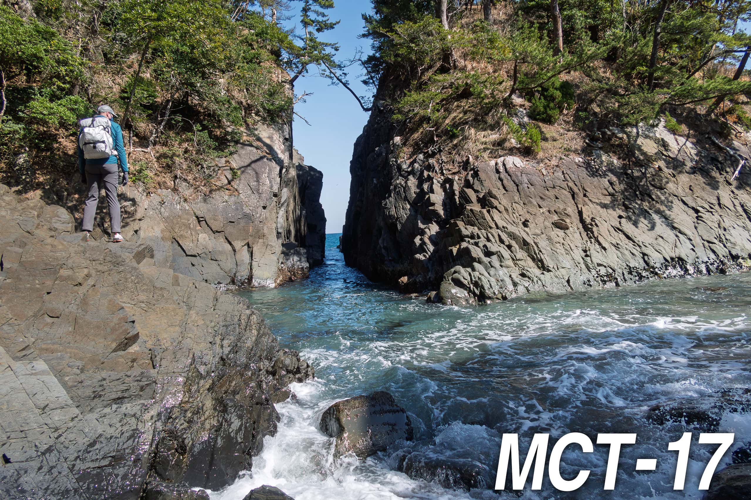
The Michinoku Coastal Trail Thur-hike: late March − mid-May 2021