
Ishinodaira — Local Enthusiasm for the MCT
What is it like when there is no vending machine?
For us, it’s pure horror…
And with that, the story of our MCT thru-hike Day 19 begins.
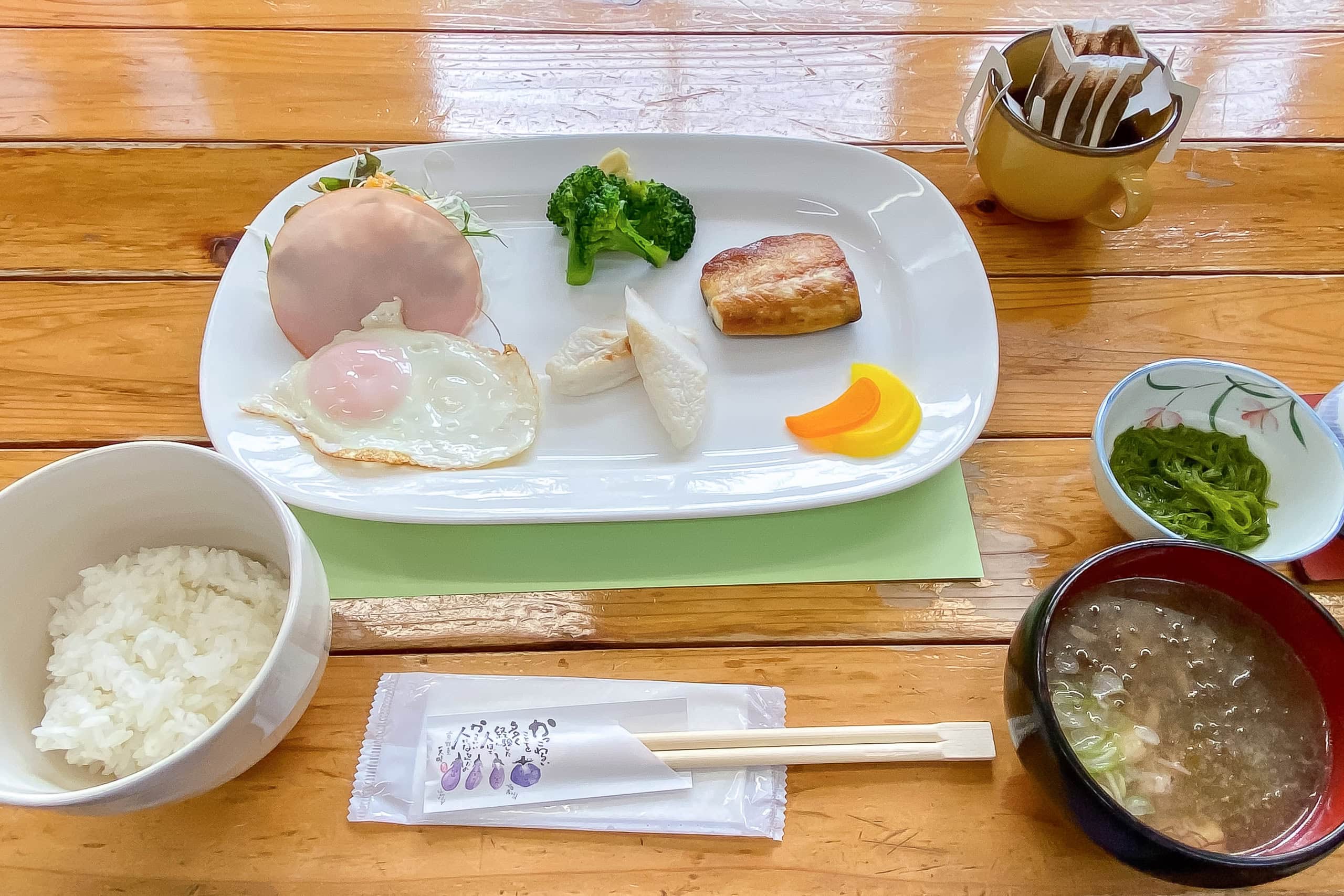
Spending the night at the former elementary school turned inn was unexpectedly comfortable. Breakfast that morning was just as good as the dinner the night before.
The weather forecast for today didn’t sound very promising. A large spring storm was moving across Japan, already bringing heavy rain and strong winds to the western regions.
Luckily, we were now much farther east, so we hoped the storm would have dumped most of its water before reaching us.
We hurried through check-out and set off, hoping to reach the more built-up part of today’s route before the forecasted light rain caught up with us.
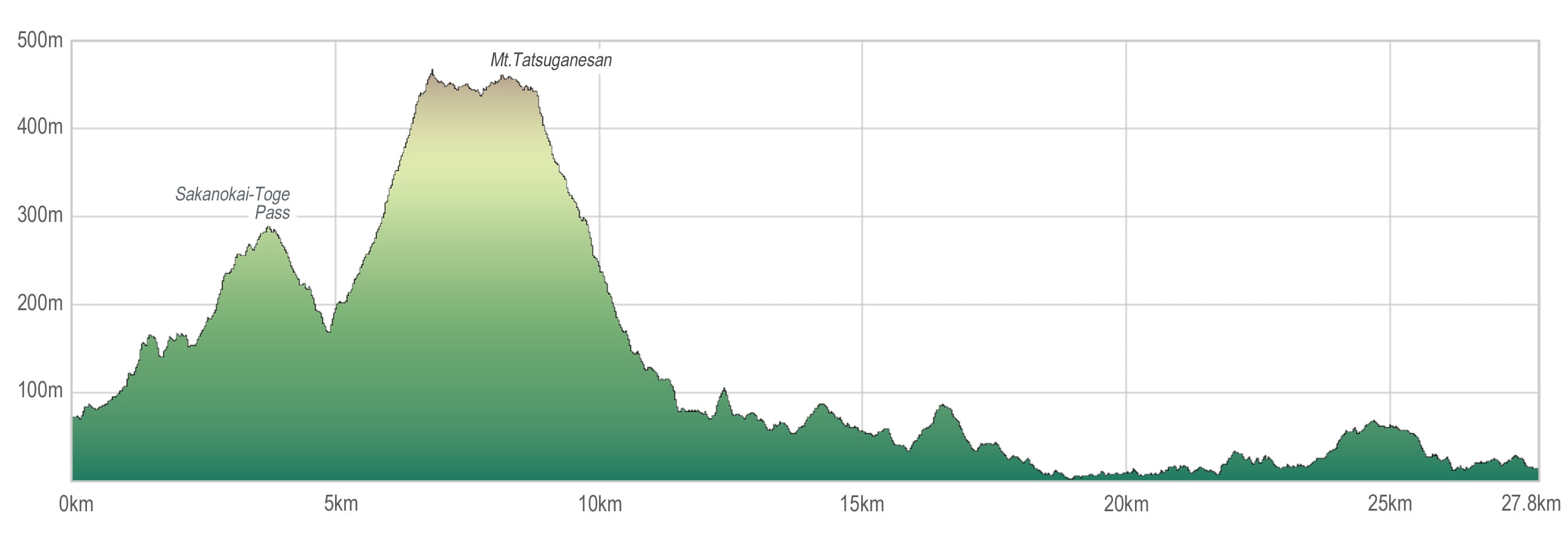
Our plan was to cross a lower mountain pass in the morning, followed by another, more demanding, up-and-down in Mt. Tatsuganesan 田束山 section. In the afternoon, we would walk through a series of small rural residential areas near the coastline in the southern part of Kesennuma City.
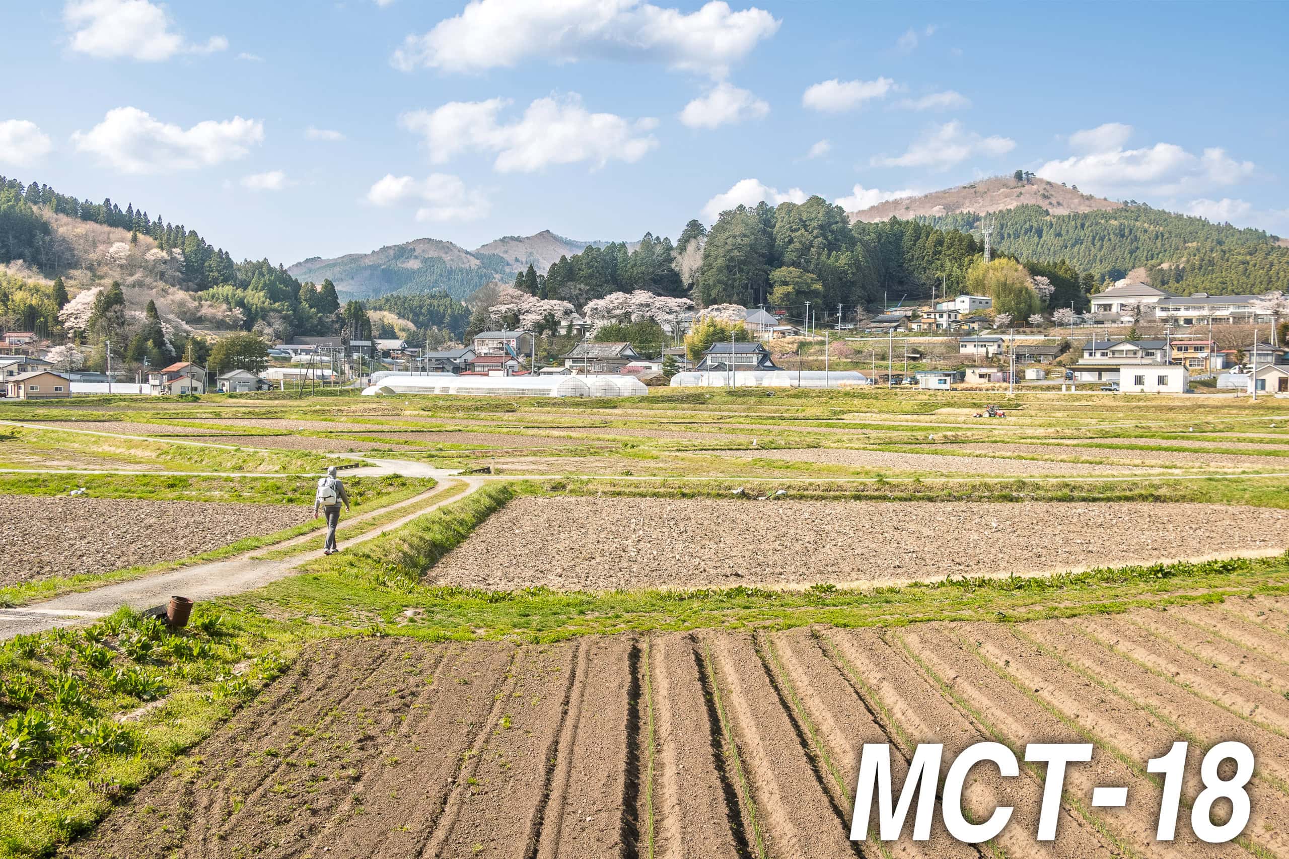
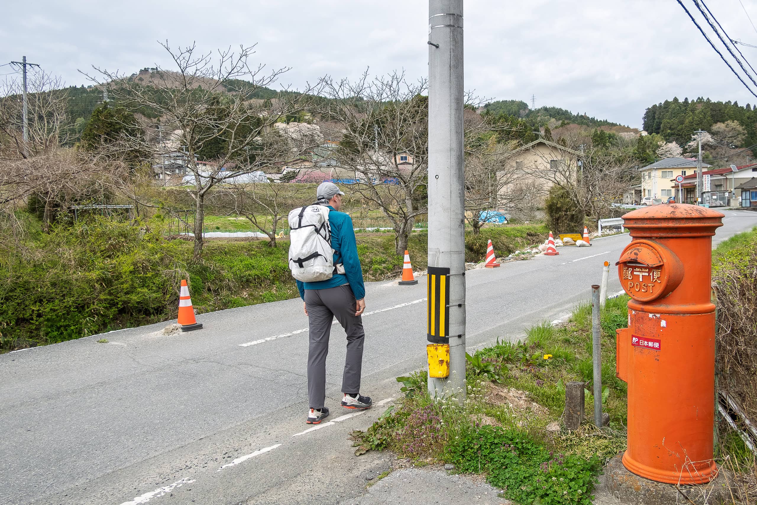
After leaving the schoolhouse inn, we walked through the beautiful mountain village of Iriya for a short while to rejoin the MCT route.
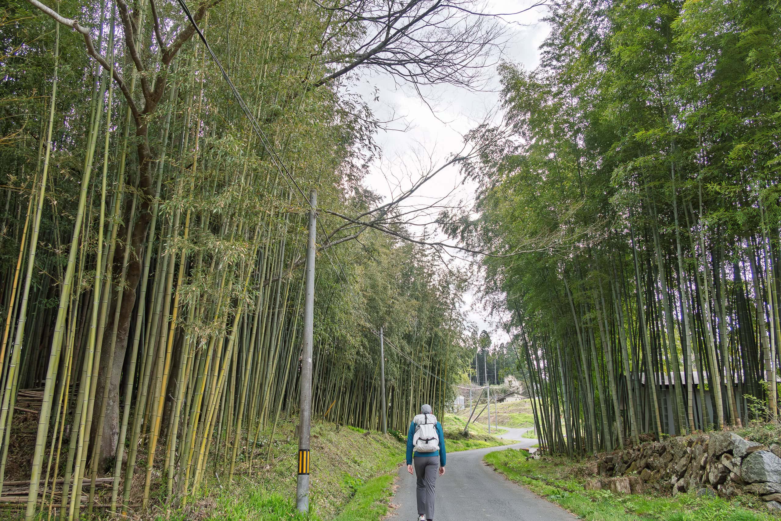
The day’s first section followed a narrow road into a quiet valley between rice paddies and grassy fields. Before long, the road began a gentle climb.
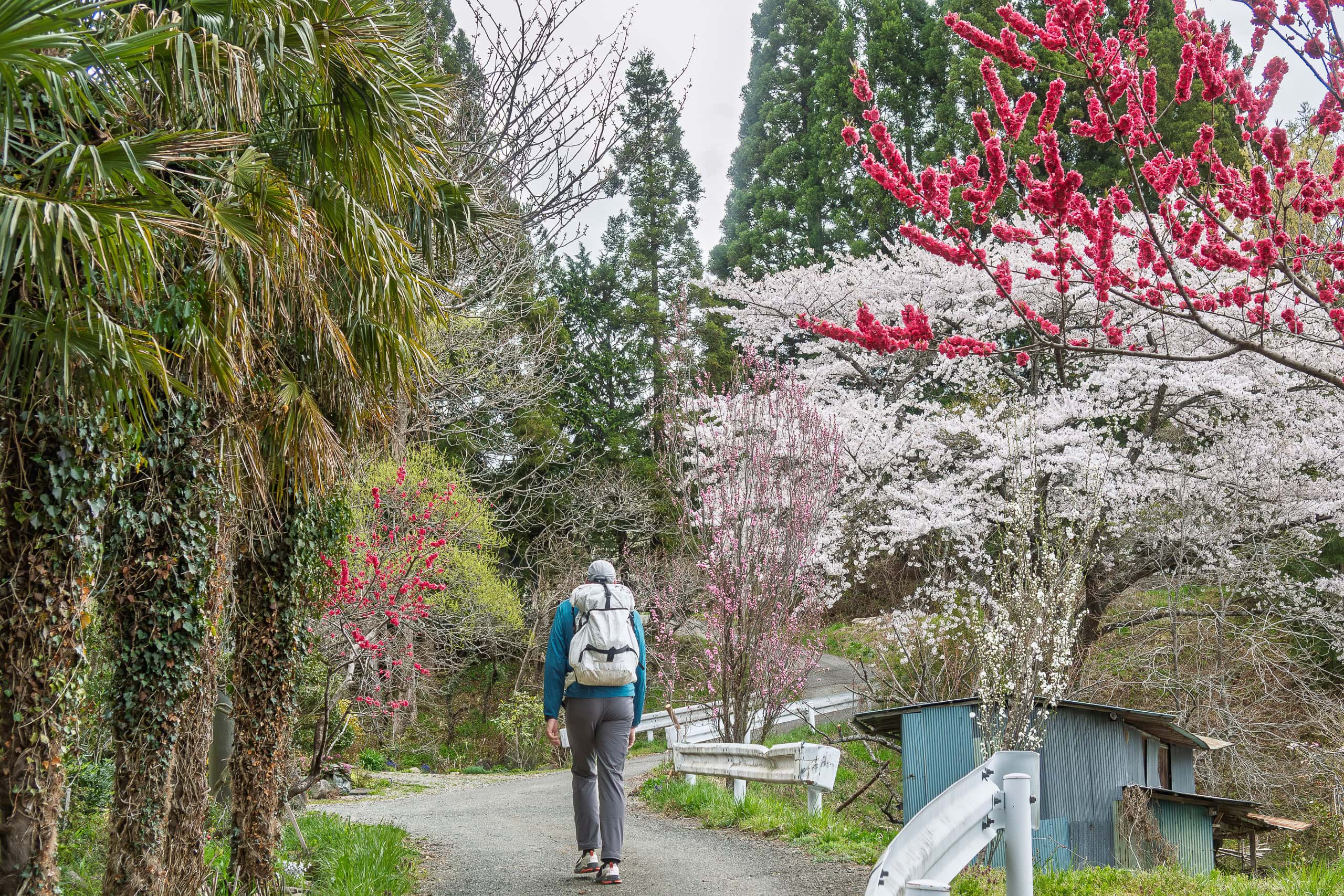
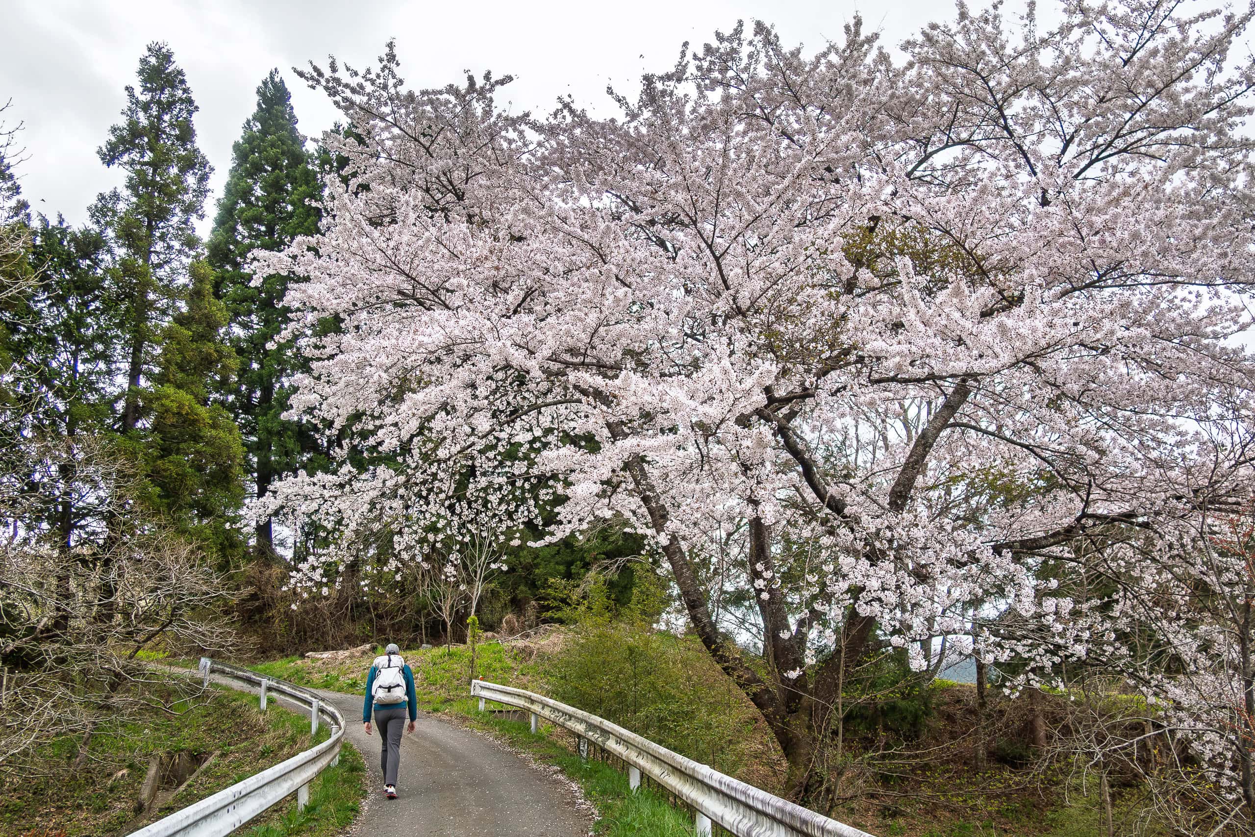
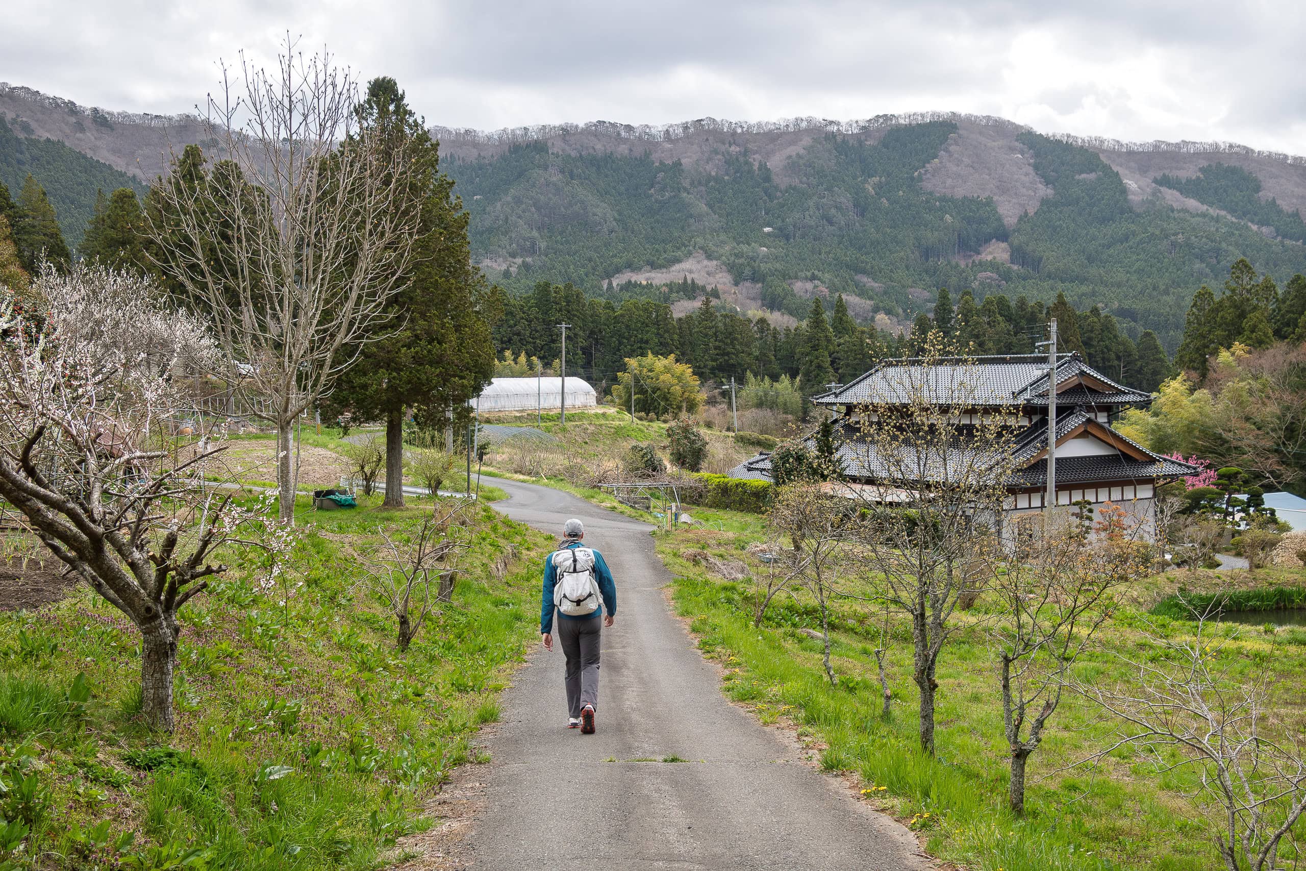
It quickly became clear that the villagers here were genuinely happy that the MCT passed through their mountain hamlet.
At one corner, a small cleared patch of land held a brand-new official MCT trail marker. Young flowers had been planted nearby, and simple fences surrounded a patch of bare soil — clearly a future flower bed in the making.
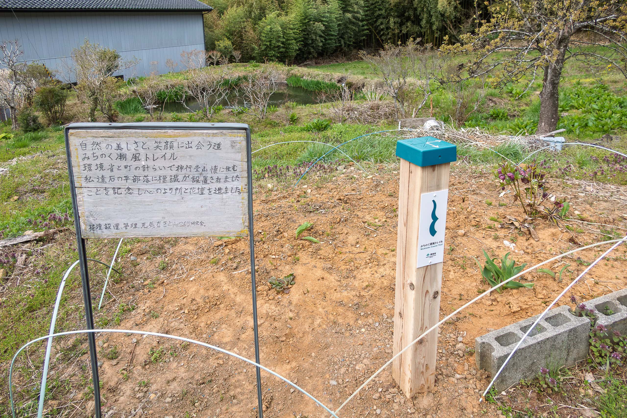
A handwritten sign next to it read:
“Michinoku Coastal Trail — where the beauty of nature and smiles meet.
Thanks to the Ministry of the Environment and the town office, this official MCT trail marker was placed here in Ishinodaira hamlet, our home on Mt. Shingyodosan.
To celebrate, we made this flower bed and planted our hearts.”
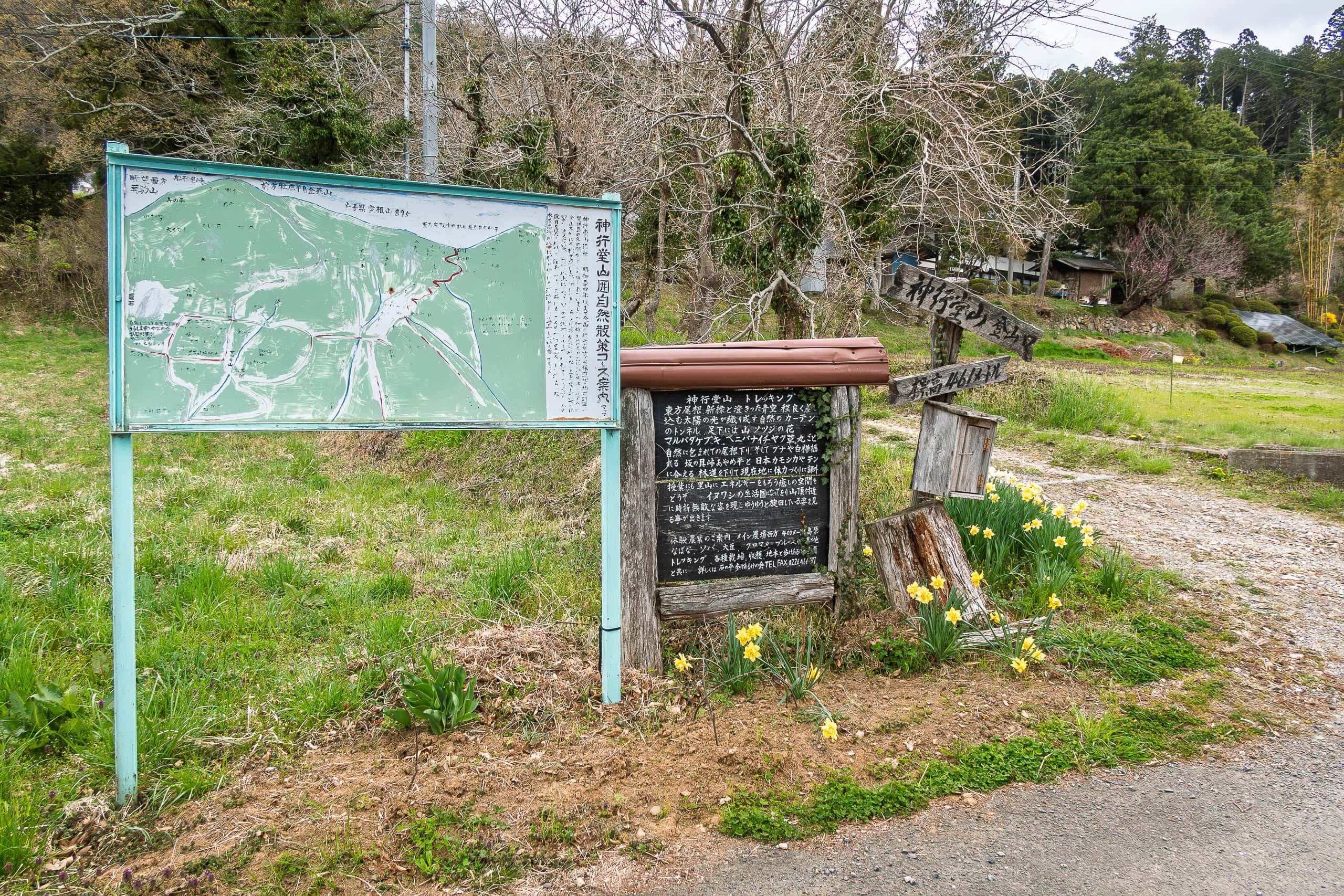
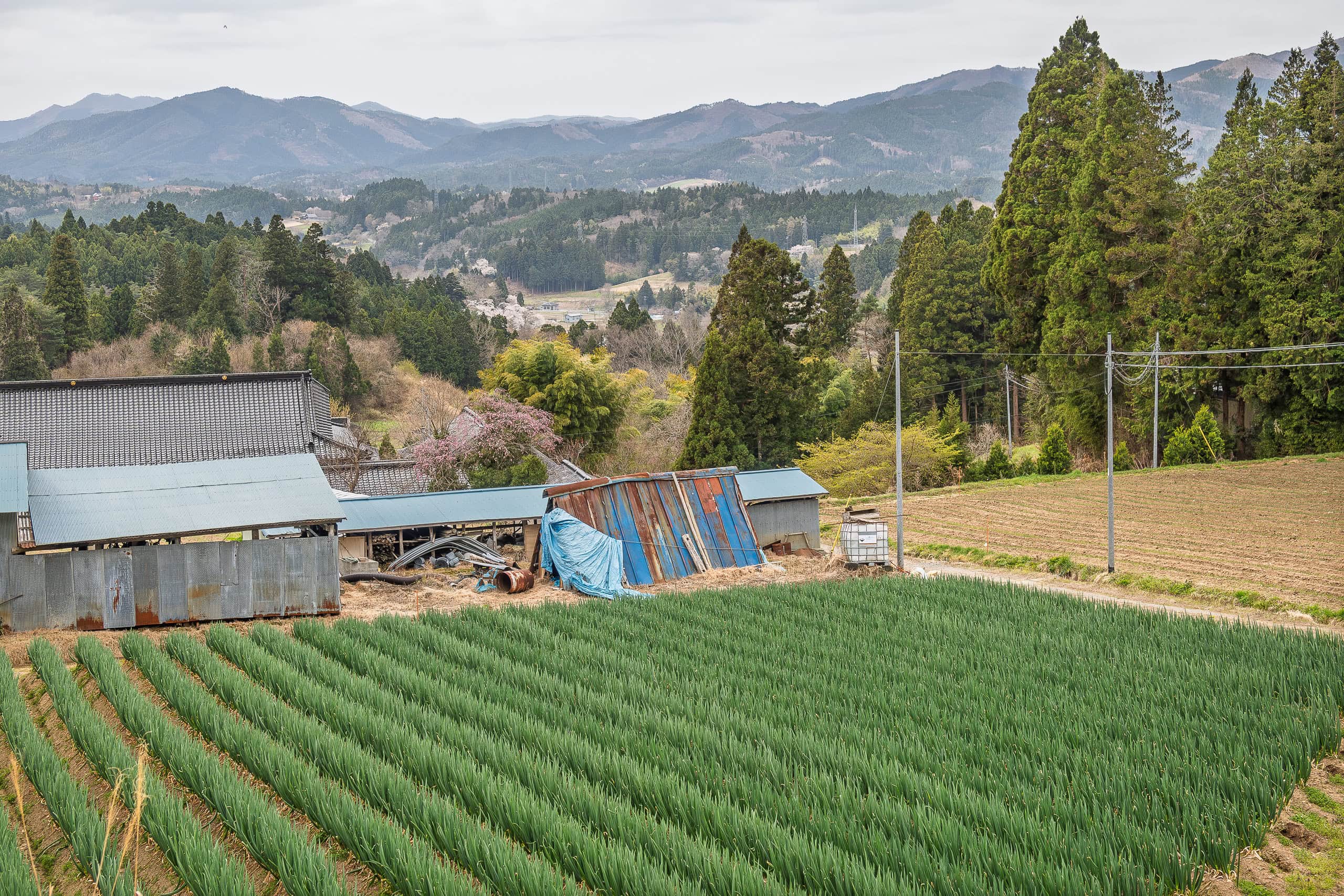
As we were leaving the hamlet, another handwritten sign appeared — this one clearly aimed at SOBO hikers:
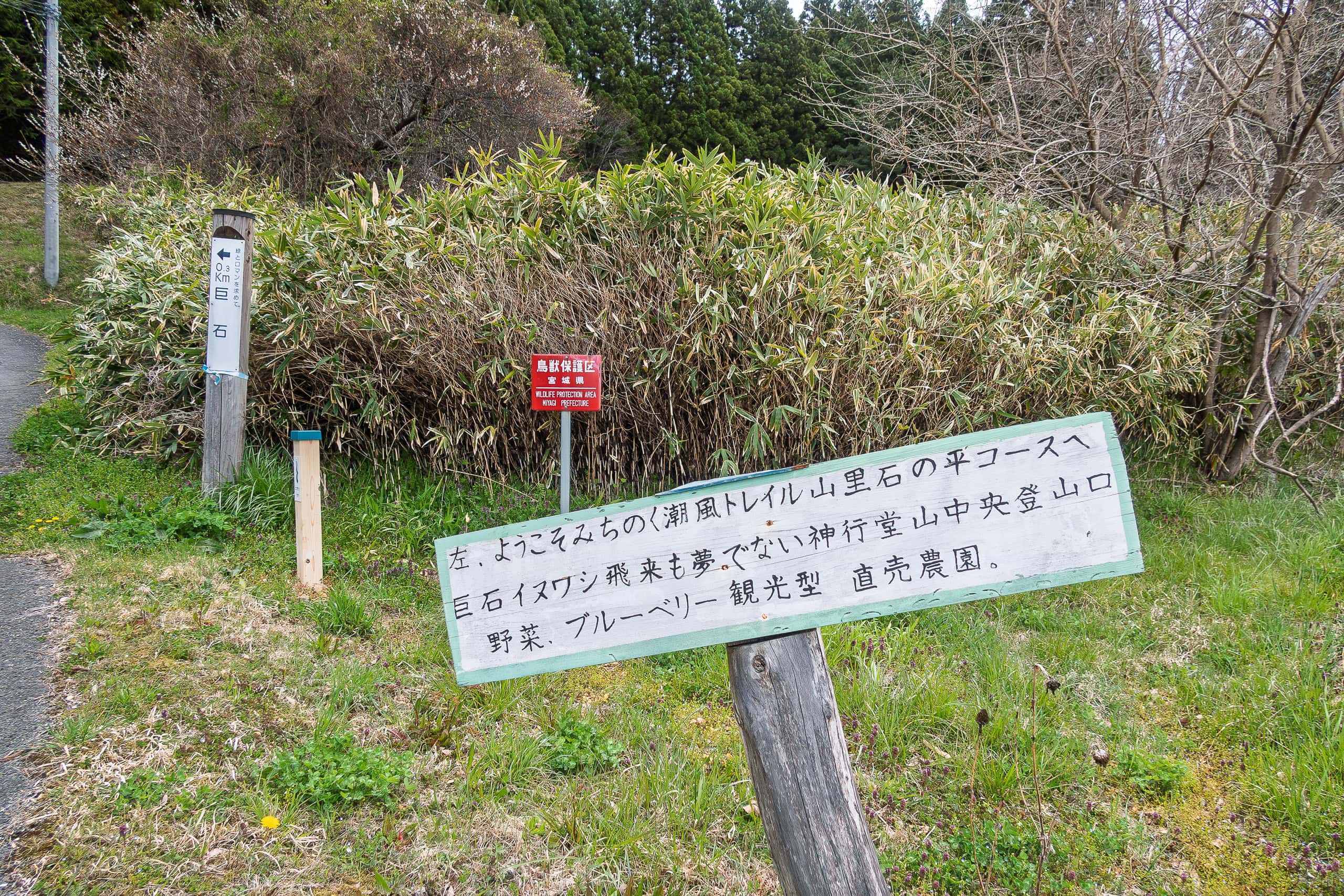
“Welcome to the Michinoku Coastal Trail, Ishinodaira — our mountain hamlet.
Here you’ll find mysterious giant rocks, the trailhead to Mt. Shingyodosan where golden eagles fly, vegetables, blueberries, and a farmers’ market for visitors.”
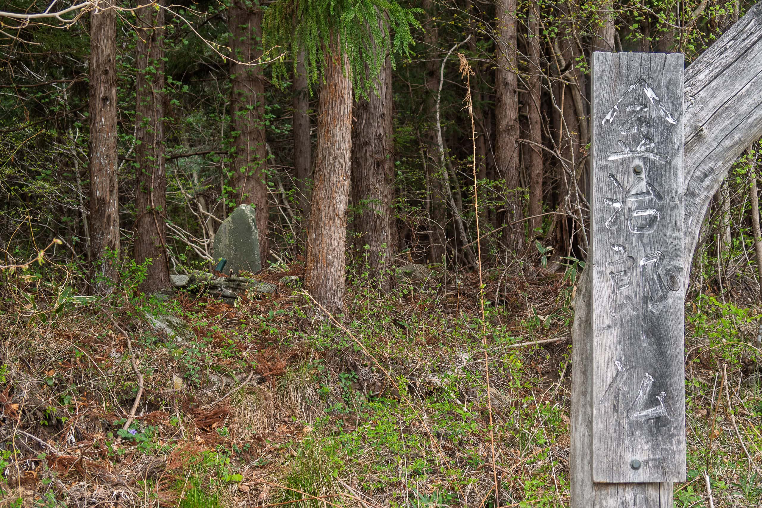
Sakanokai Toge pass
The narrow lane winding through Ishinodaira hamlet eventually joined a wider car road, just beyond the last handwritten sign.
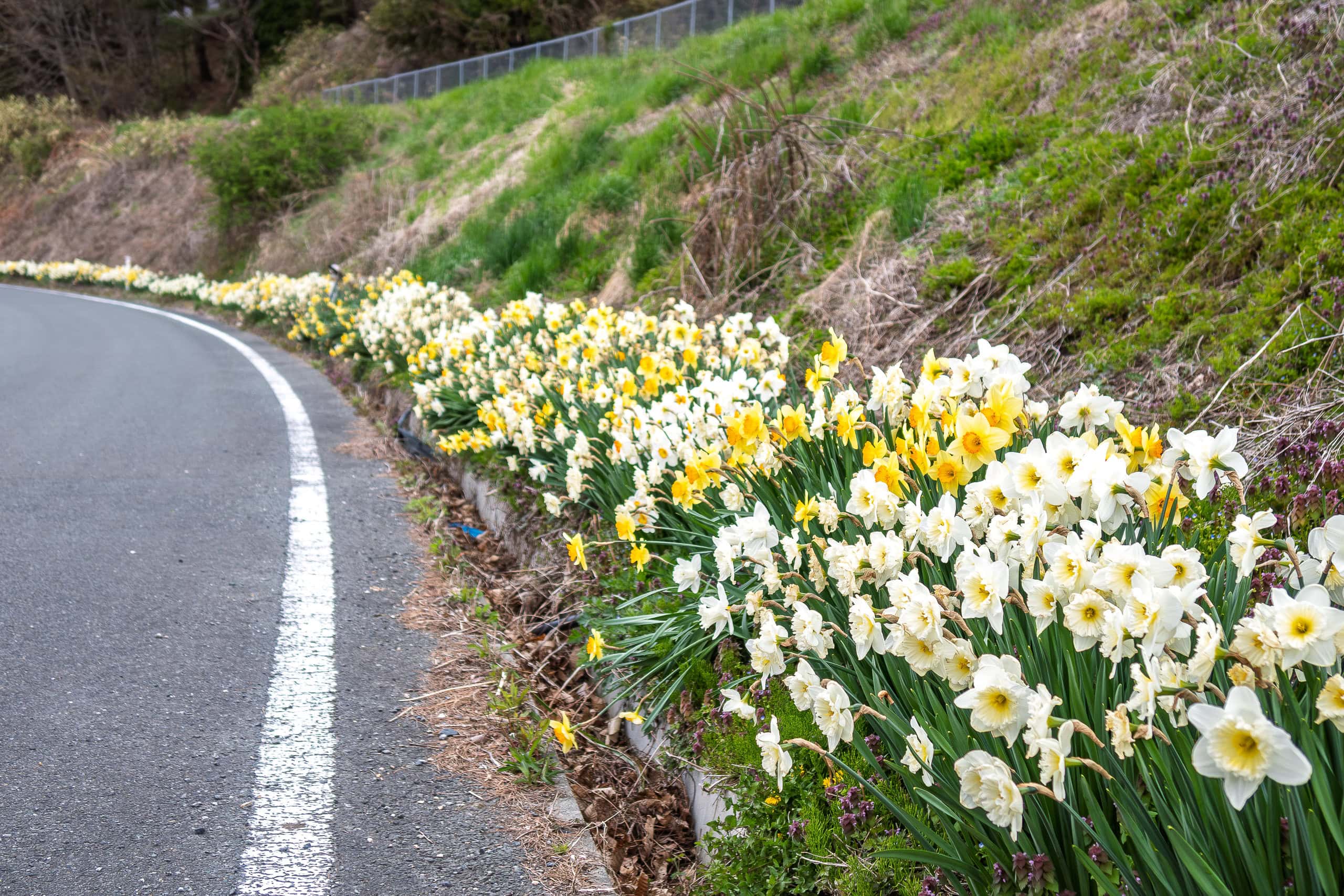
Not a single vehicle passed us. Both sides of the road rose into slopes completely covered with wild plants and trees. We kept climbing steadily, step by step.
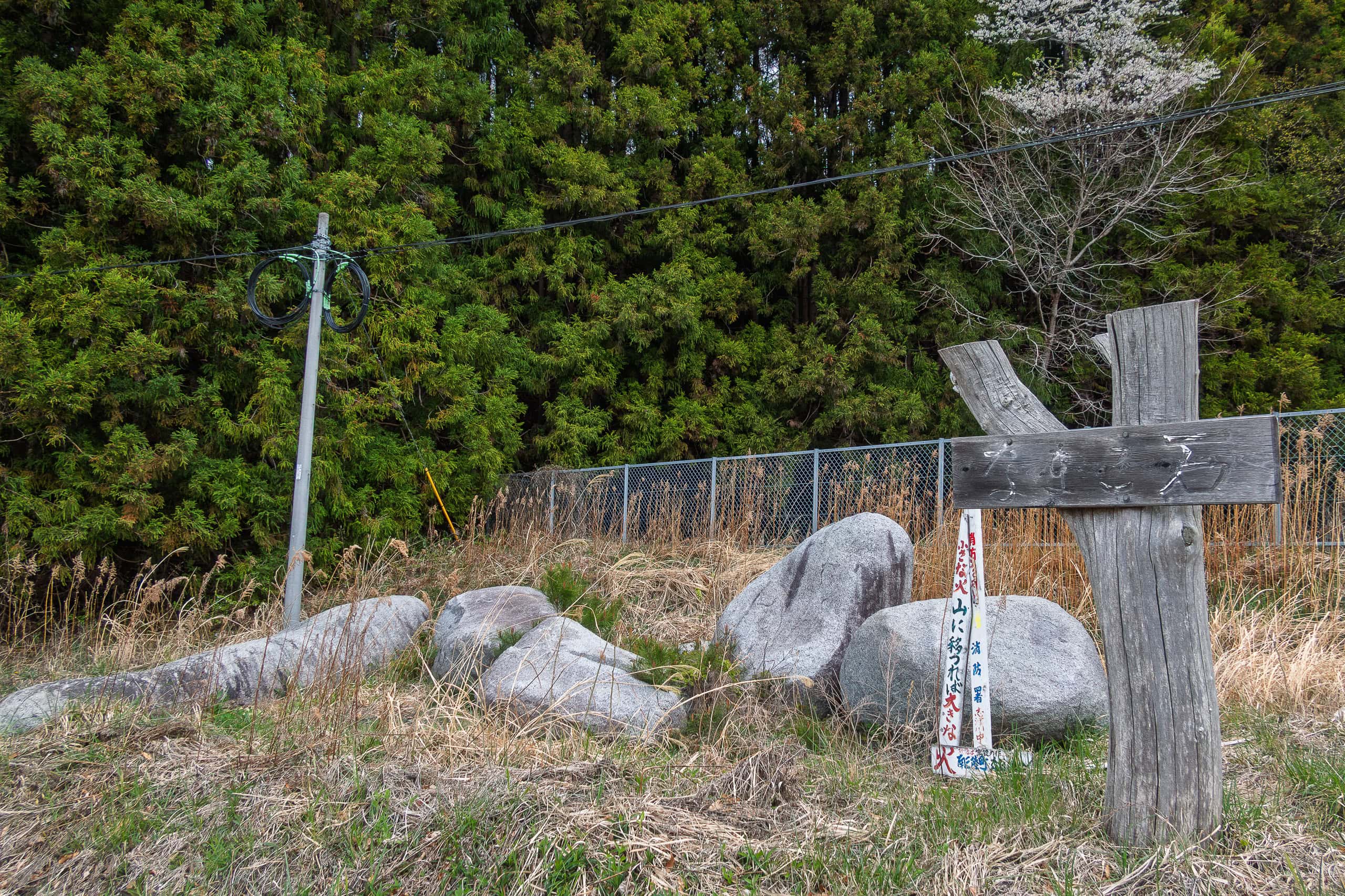
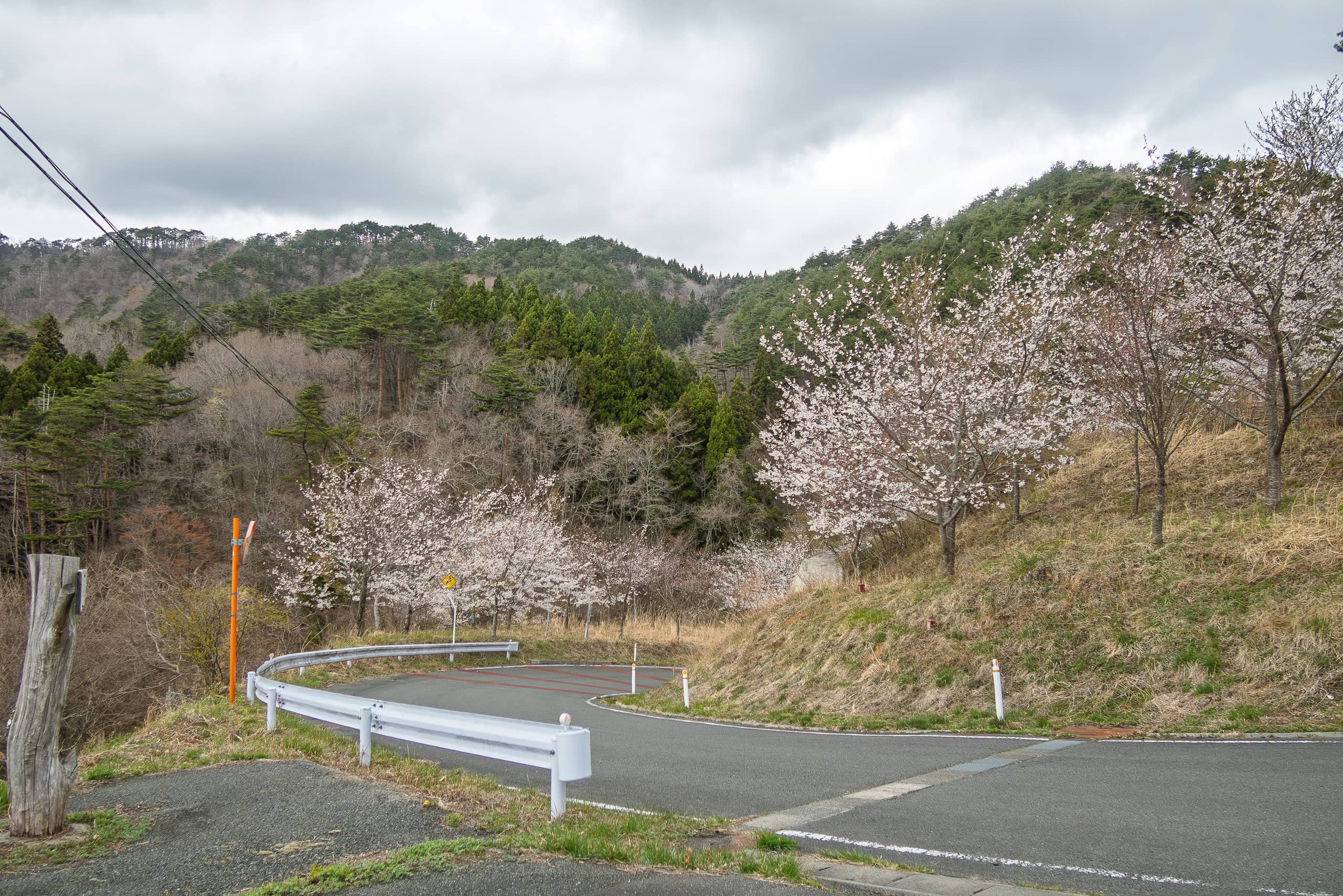
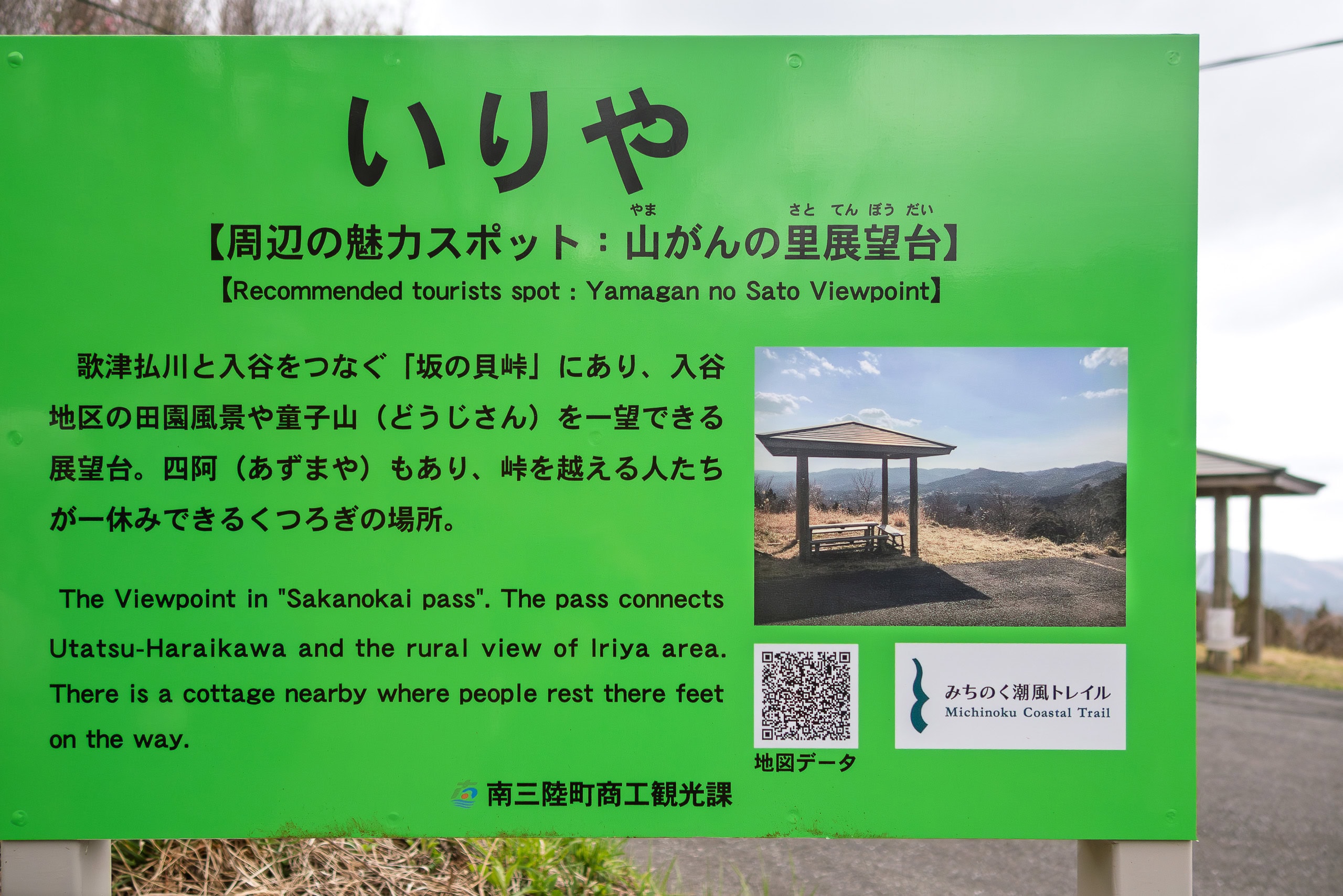
Before long, we reached Sakanokai Toge Pass 坂の貝峠.
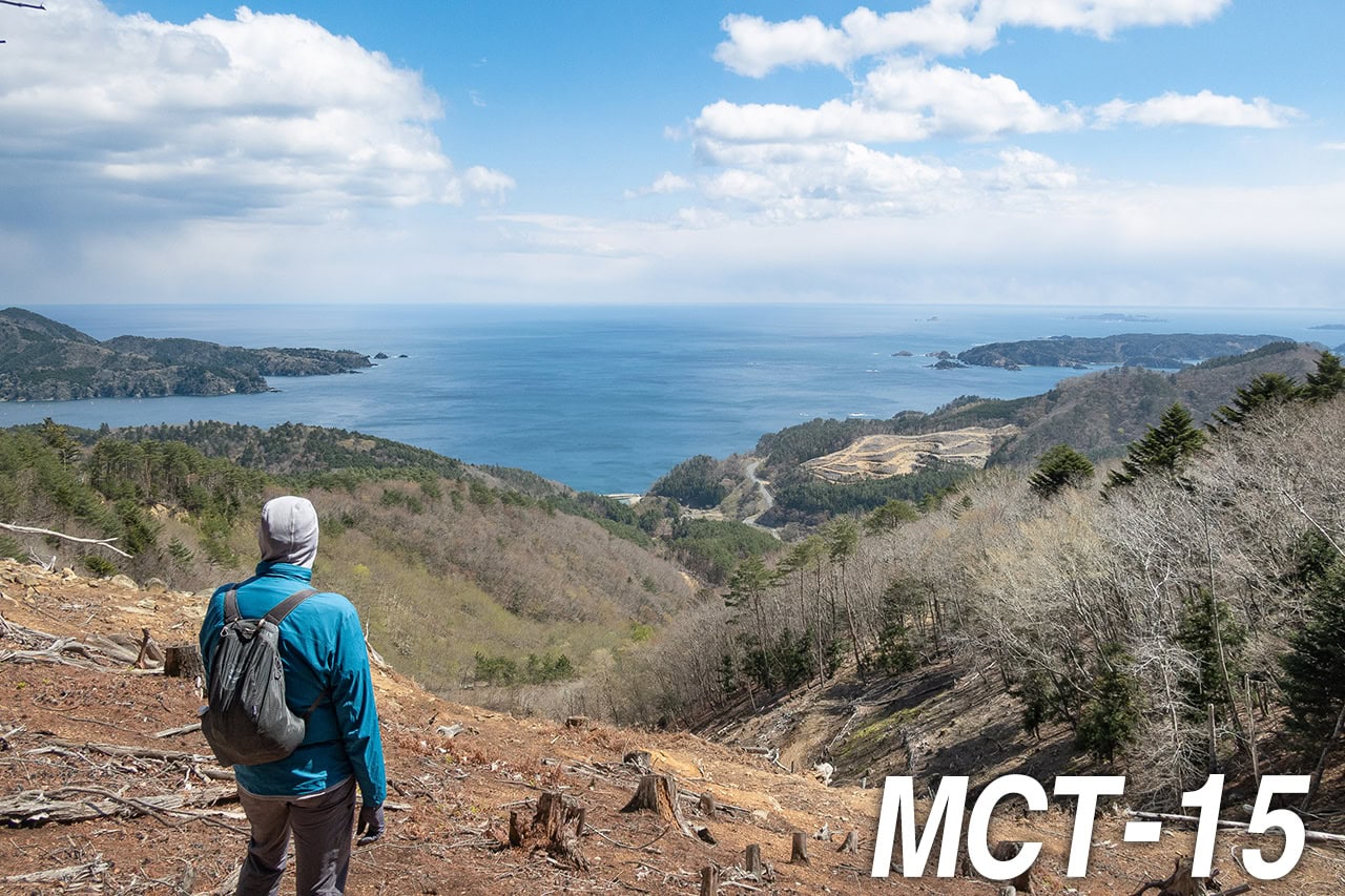
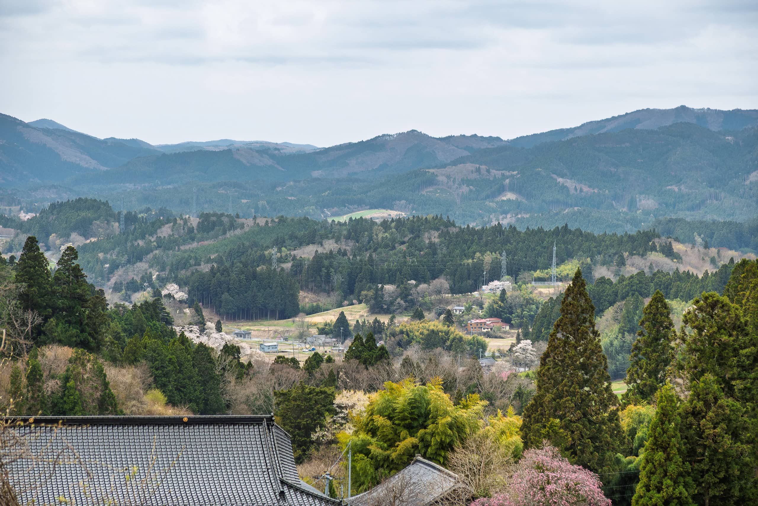
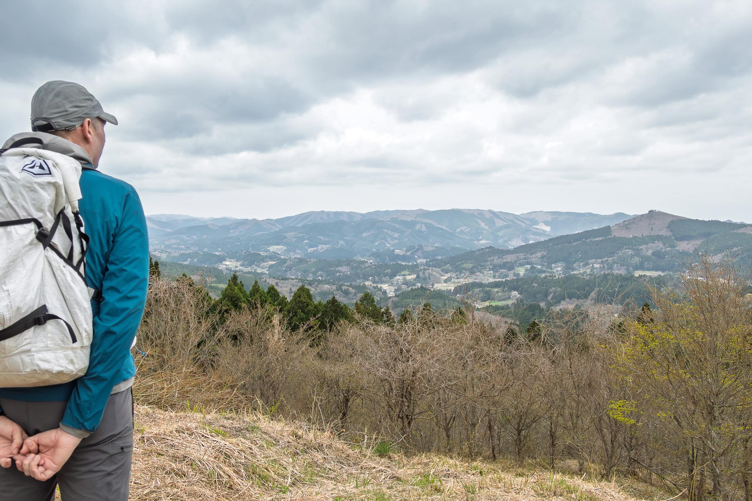
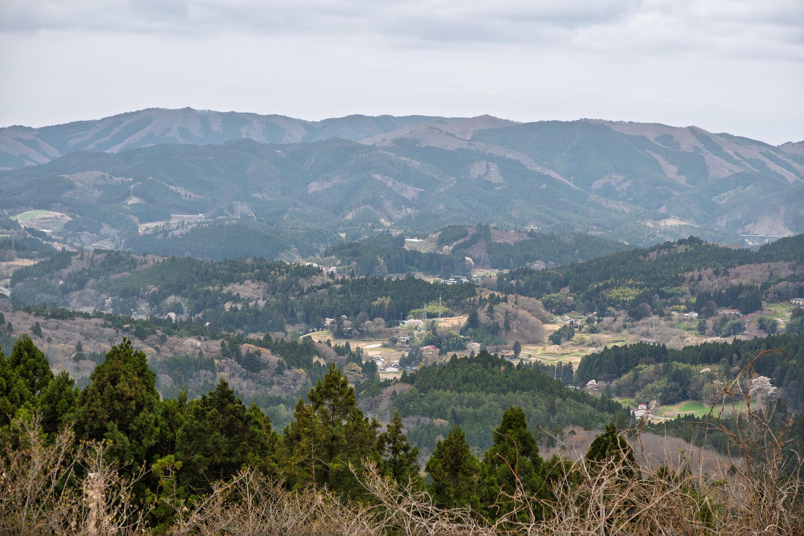
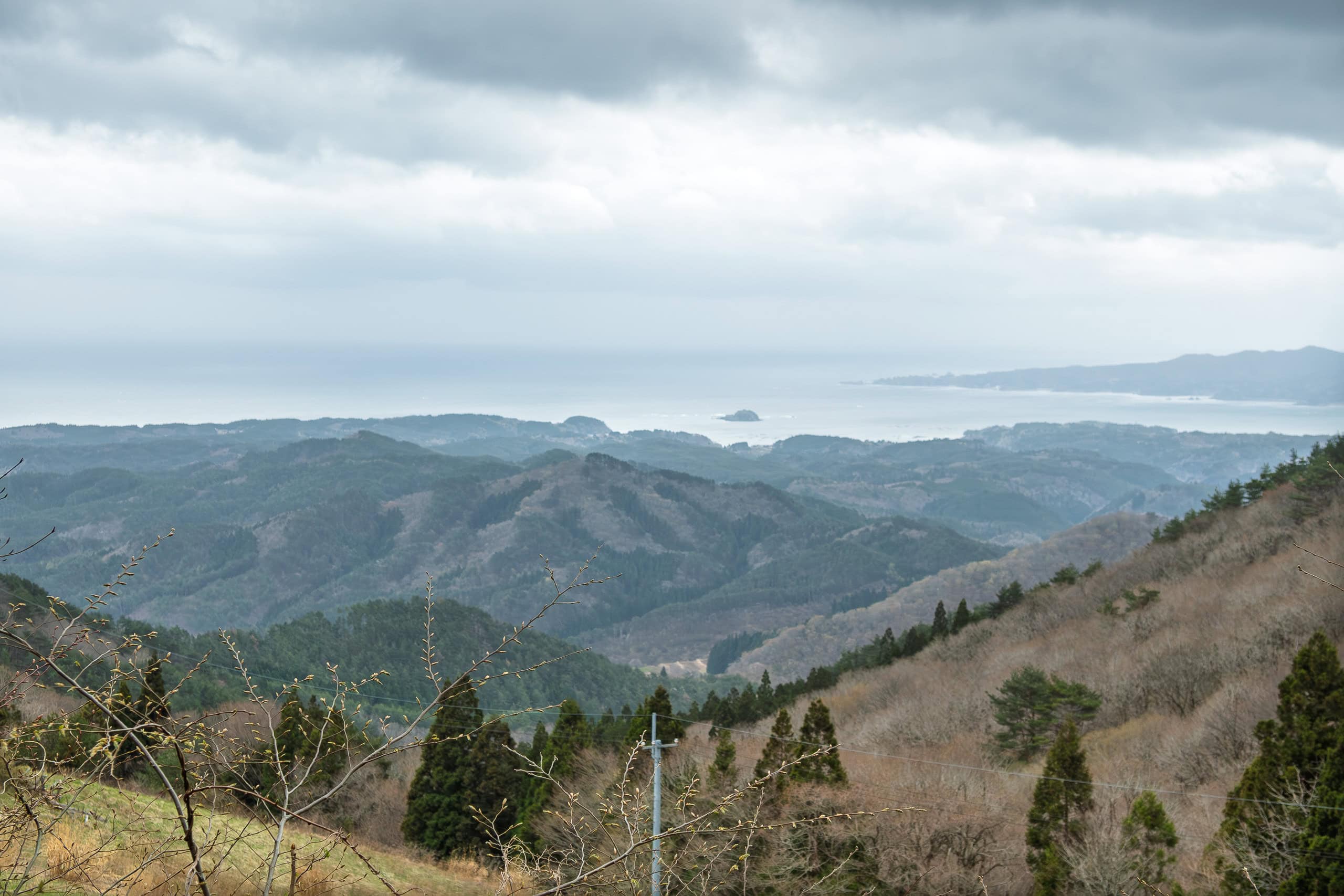
Even under a cloudy sky, the view over the entire Iriya village was impressive. I couldn’t help imagining how stunning this panorama must be on a clear early-summer day.
From the pass, the road descended toward a tiny hamlet tucked into a narrow valley between Mt. Shingyodozan and Mt. Tatsuganesan.
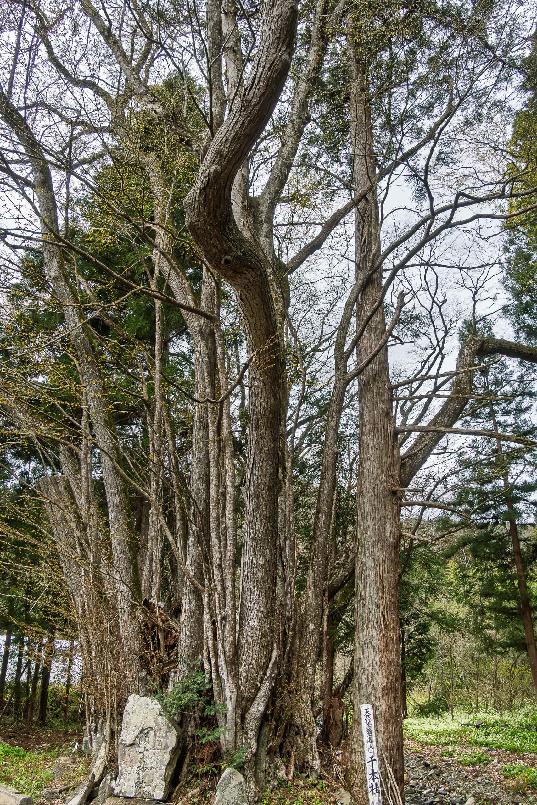
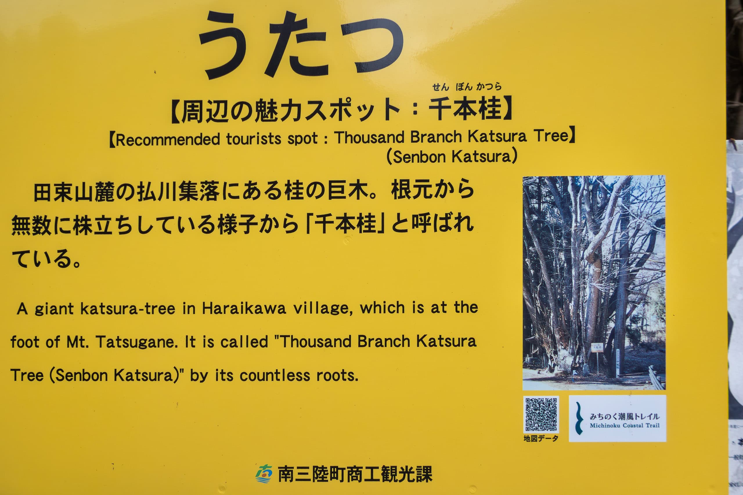
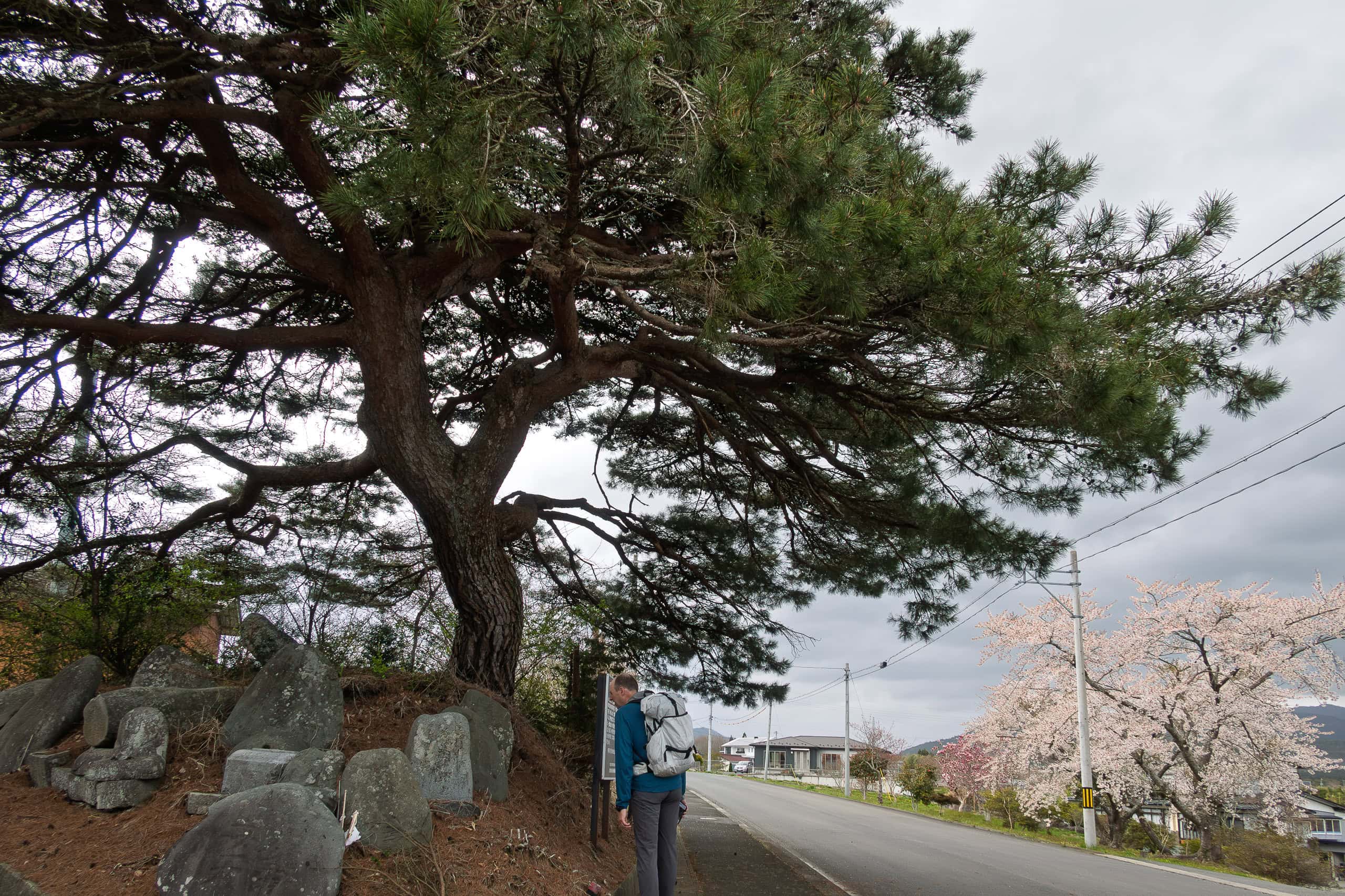
Only a handful of houses stood there, gathered around a symbolic tree known as Senbon-Katsura — “the thousand-trunk katsura,” named for the way multiple trunks rise from a single root.
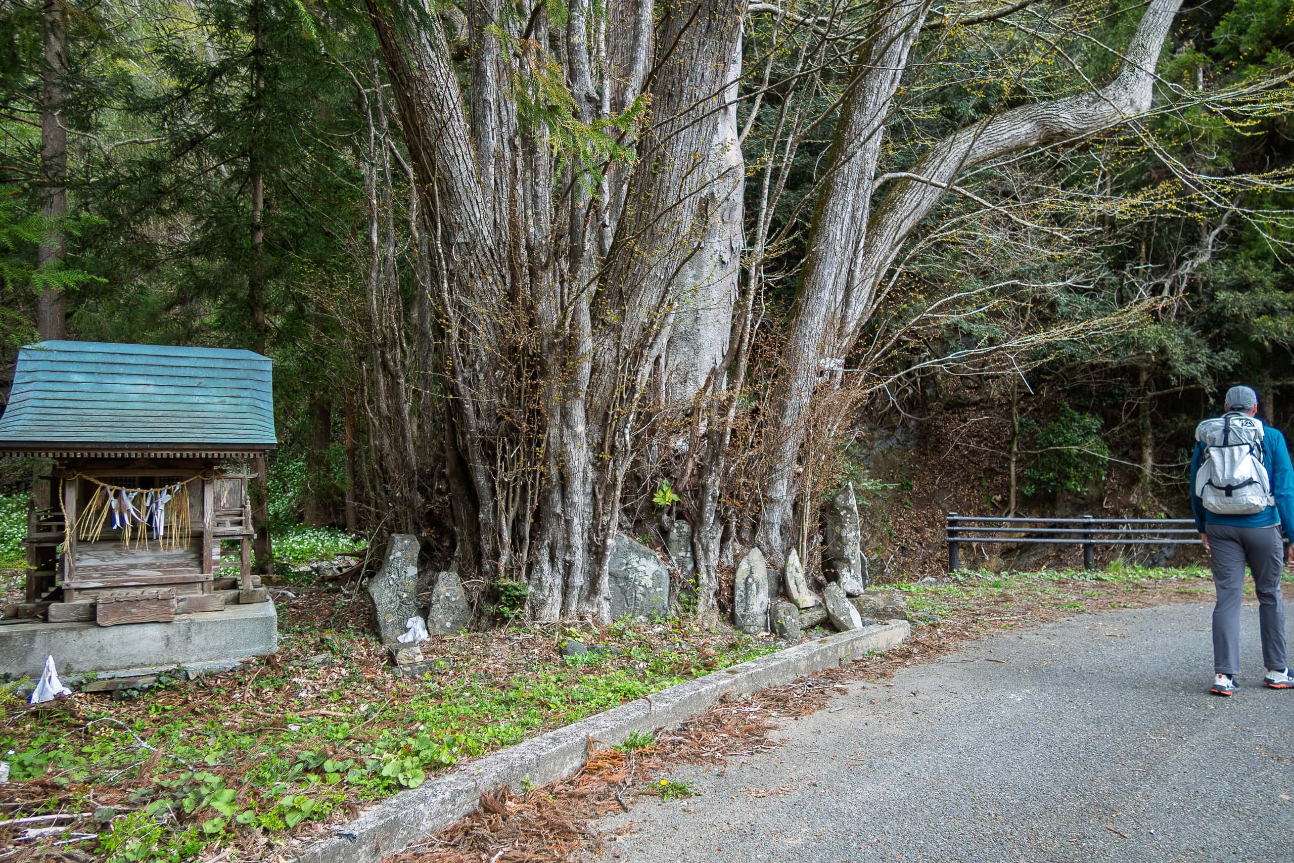
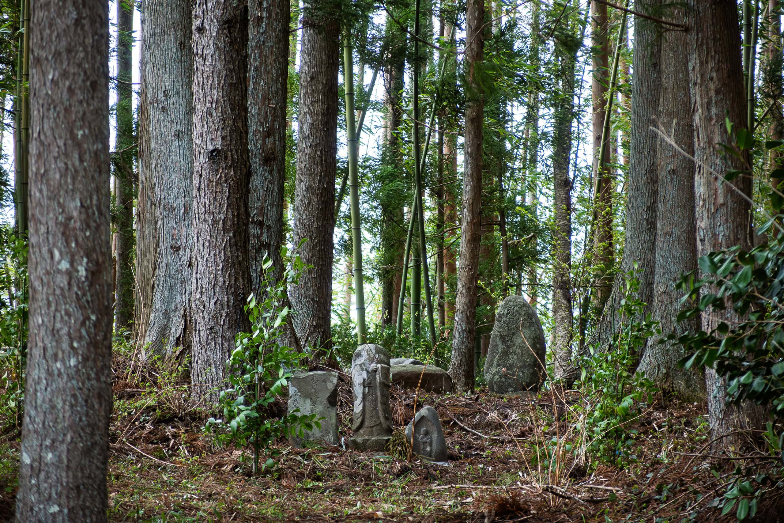
In earlier times, this tree marked a junction where several routes met, and a few very old signposts, dating back hundreds of years, still stood nearby.
Today, the hamlet feels as if it could fade away at any moment. Yet in the past, it was far livelier, serving as the western entrance for monks and pilgrims heading to Mt. Tatsuganesan, once revered as a sacred site for Japanese mountain ascetic practices.
Within minutes we had crossed the hamlet. The narrow road immediately slipped back into the mountains and began climbing again. Soon the concrete pavement disappeared, and we found ourselves on a dirt forestry road.
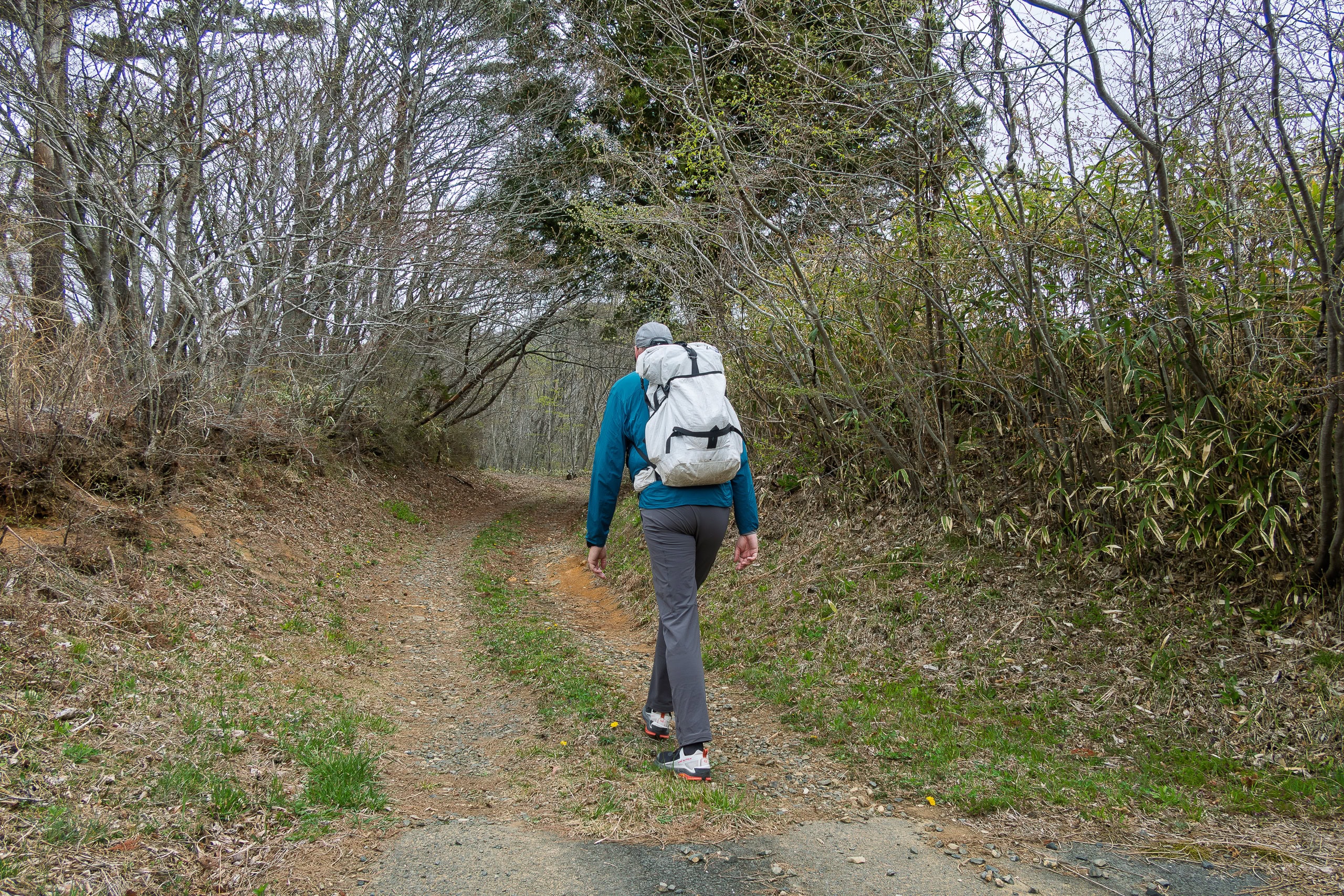
While we welcomed the return to an unpaved surface, the trail itself was wide, very gradual, and — if I’m honest — rather monotonous. The gentle forest road continued all the way to the highest point of the mountain, where a large radio or television antenna stood.
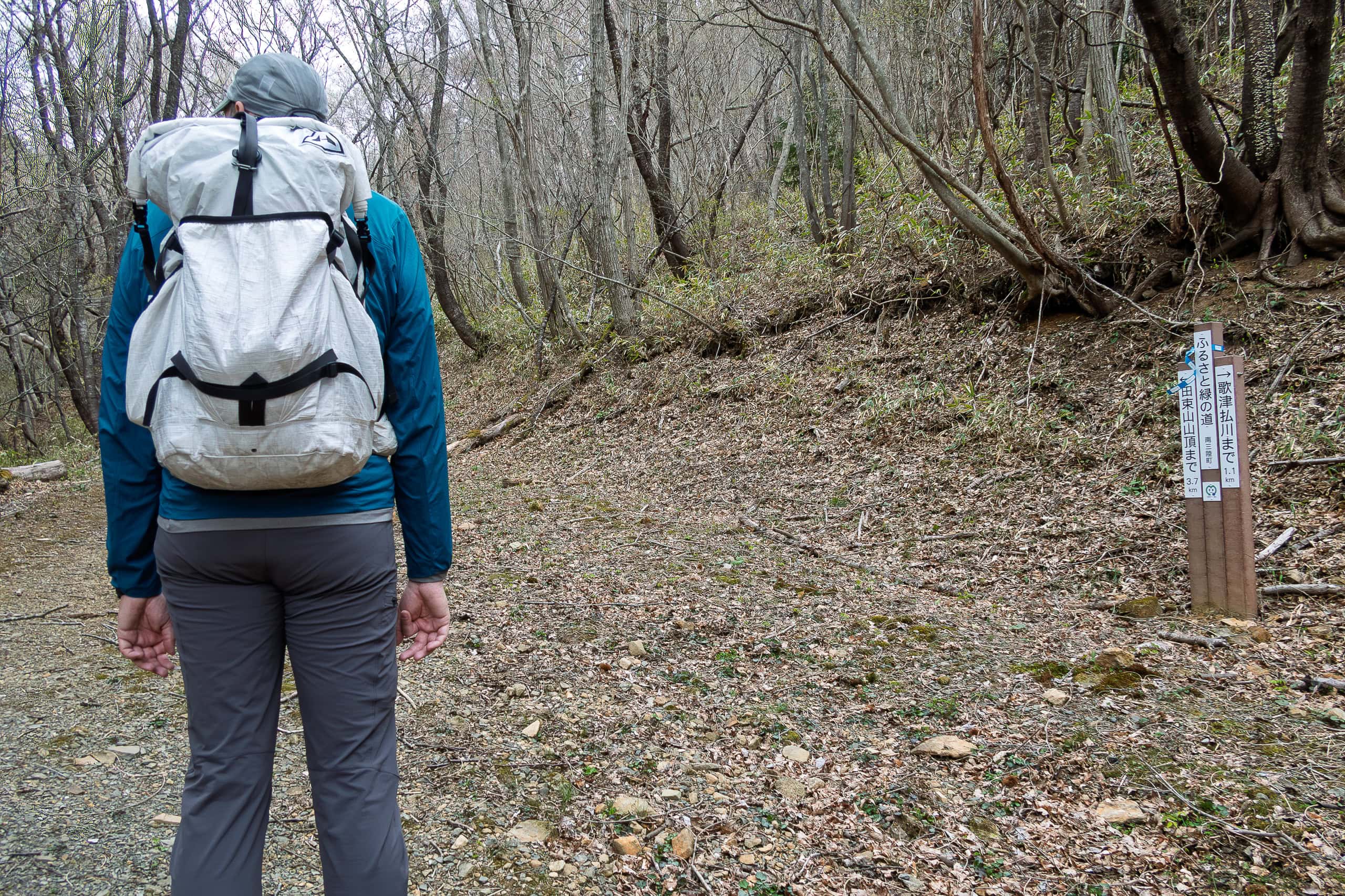
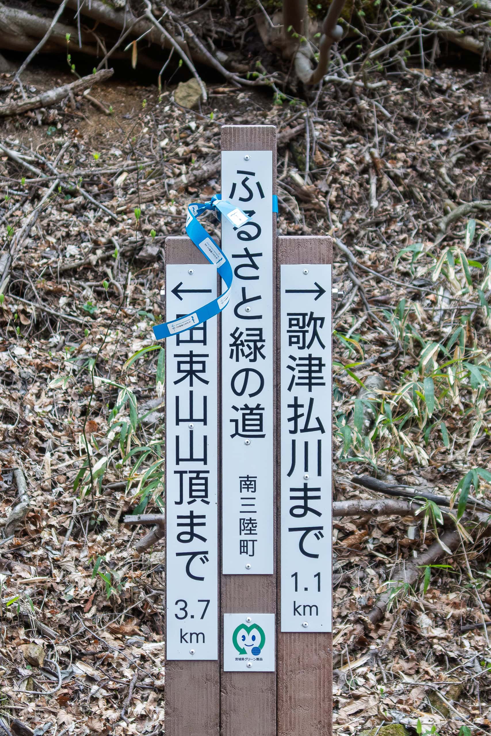
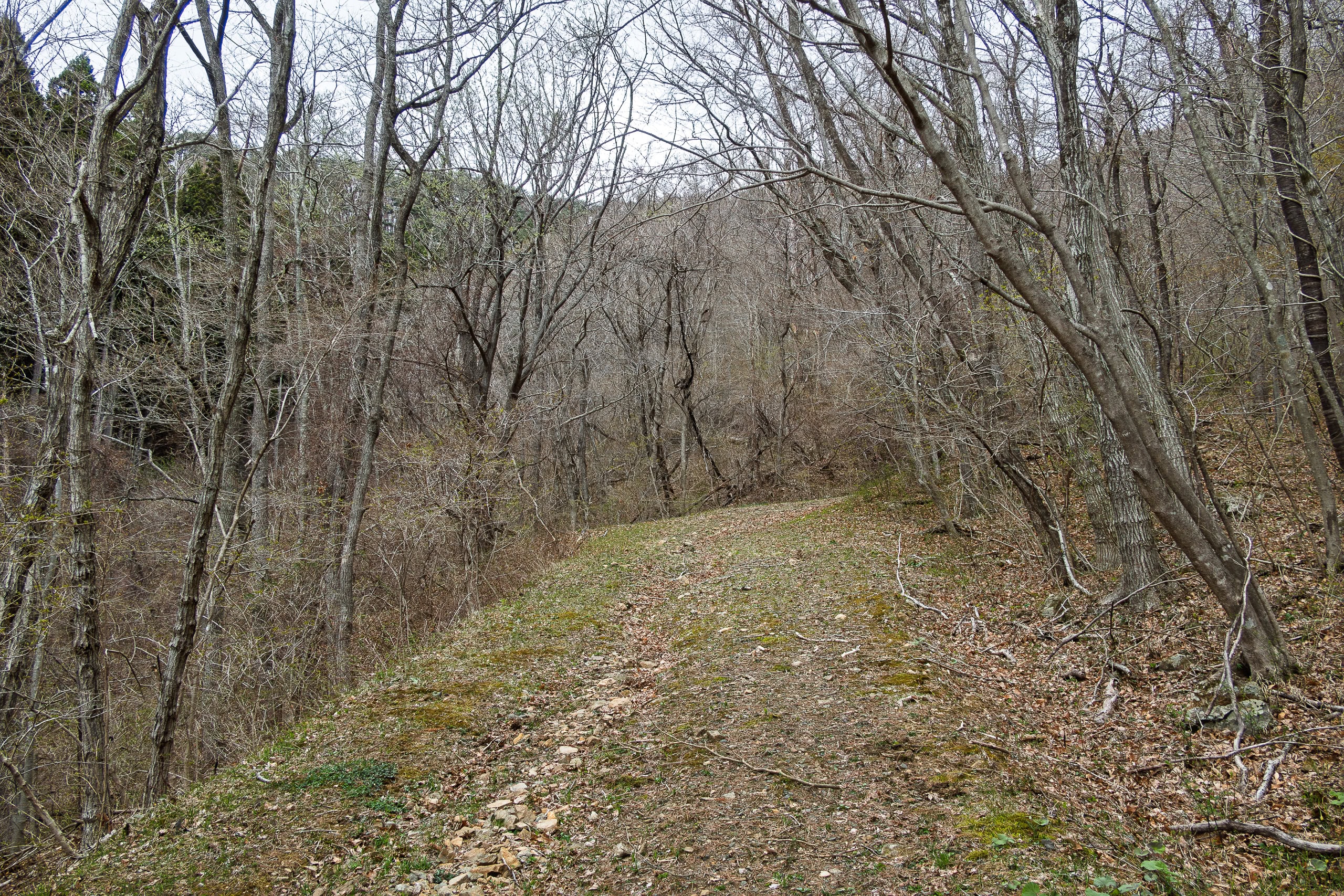
This section wasn’t as exciting as we’d hoped. It felt like a typical service road, probably built to allow heavy vehicles access to the antenna, rather than a trail shaped by centuries of foot traffic.
Mt. Tatsuganesan
Mt. Tatsuganesan is a multi-peaked mountain. The antenna site we emerged onto was the southwest peak, called Mt. Mankaisan 満海山.
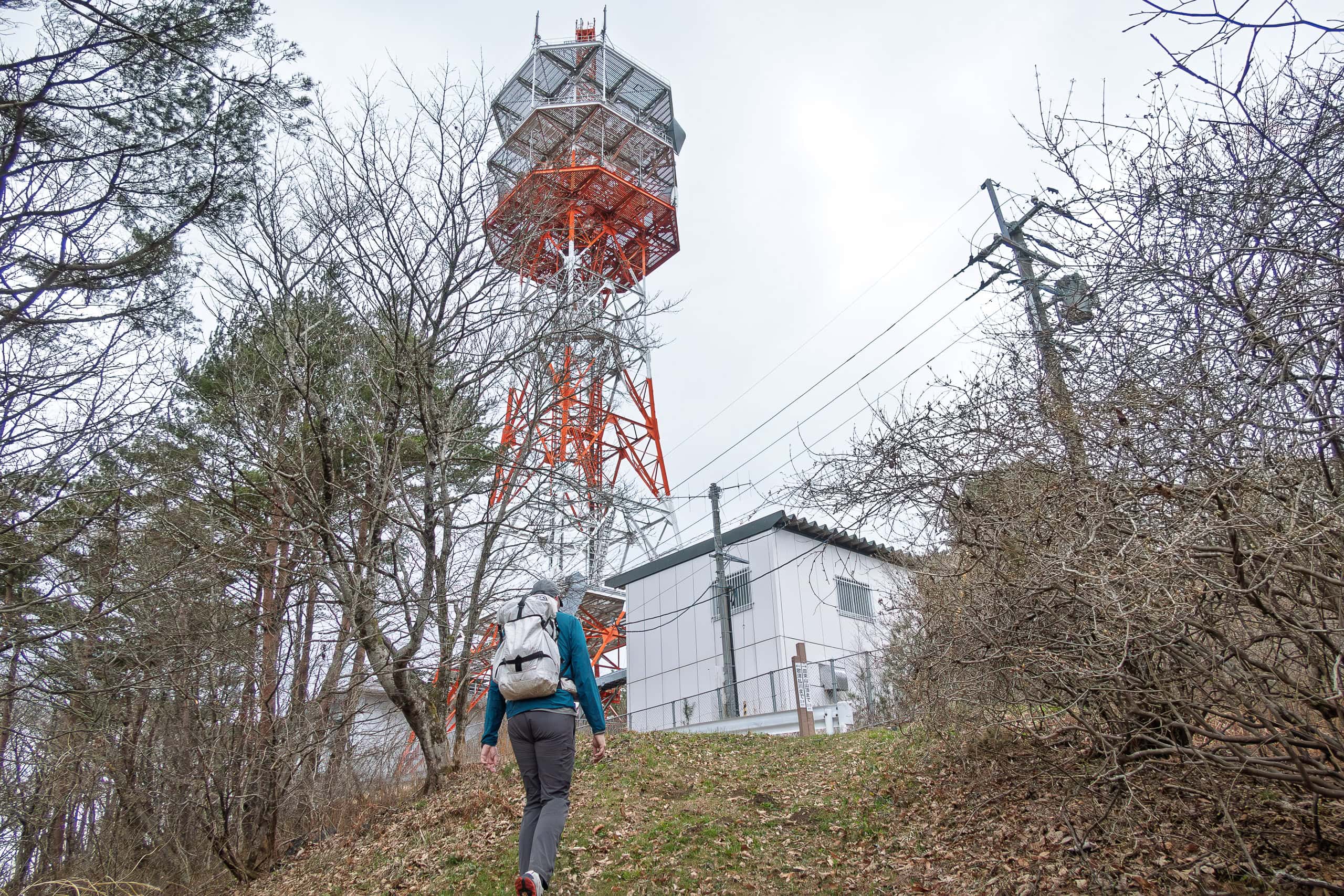
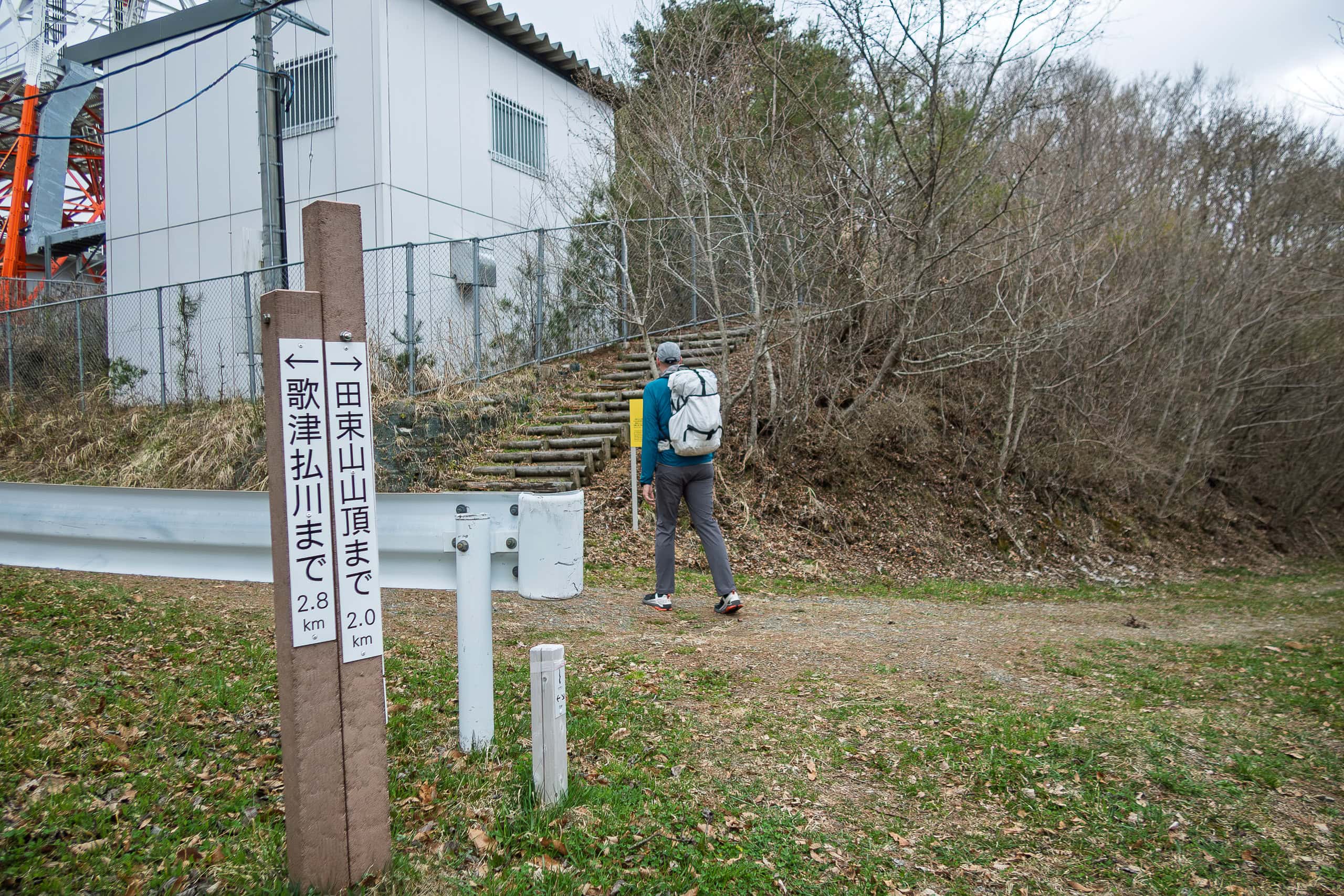
Right beside the antenna stood a historic site.
At first glance, it looked like nothing more than a small mound surrounded by a rope fence. On top sat two stones and a quietly placed information board.
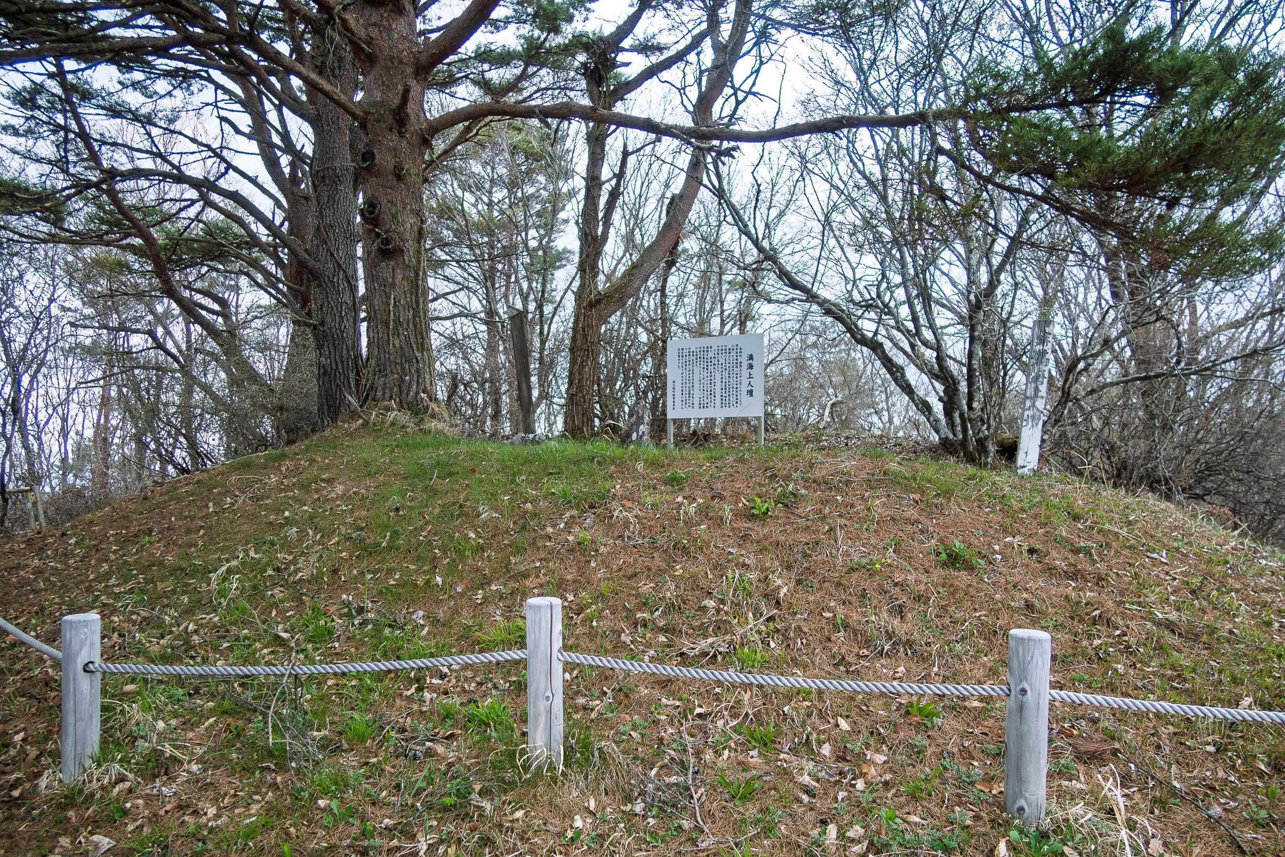
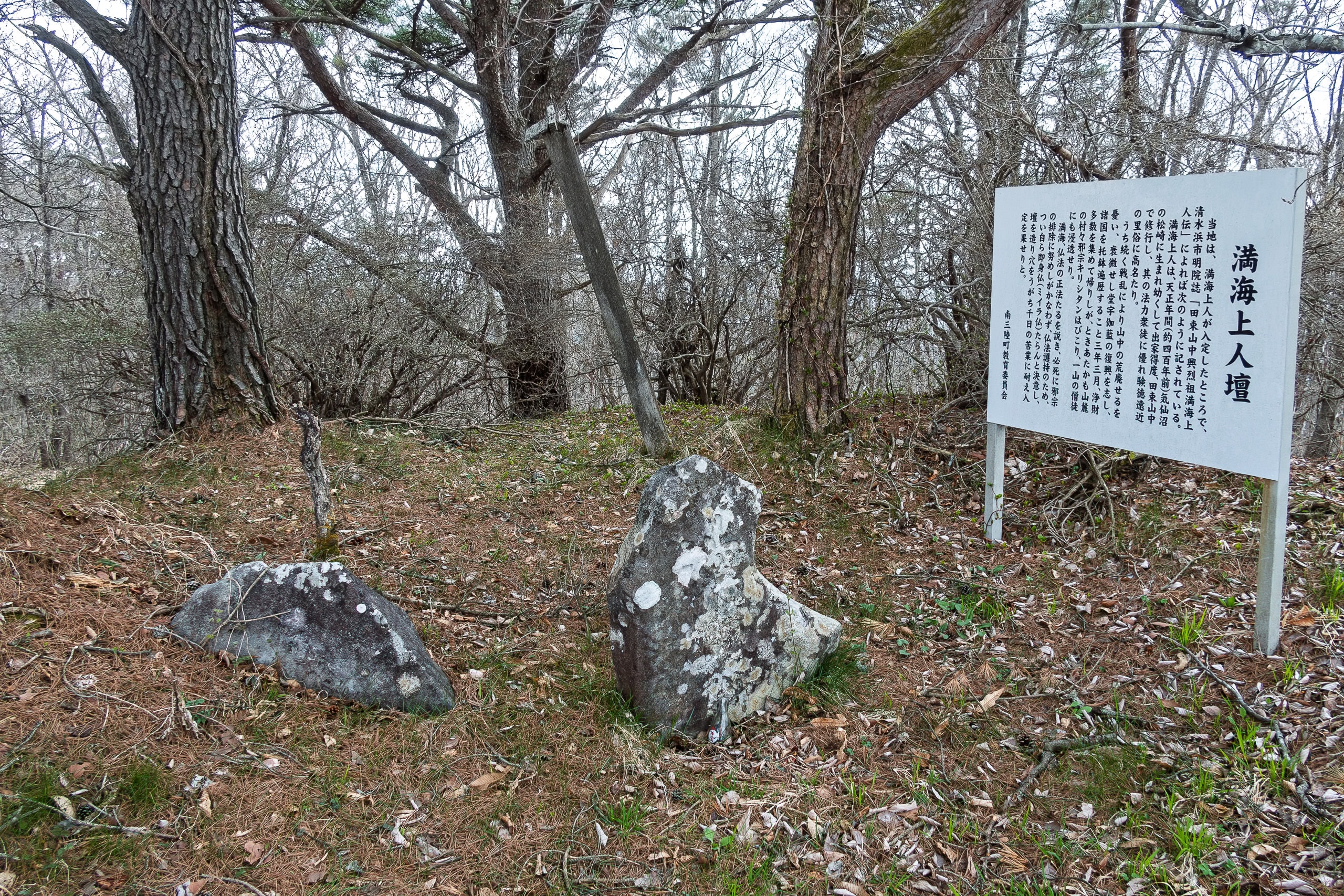
According to the explanation, this is the site where a monk named Mankai Shonin 満海上人 buried himself alive.
Yes — I know. You’re probably not sure how you’re supposed to react to that information.
The peak itself was named after him, obviously.
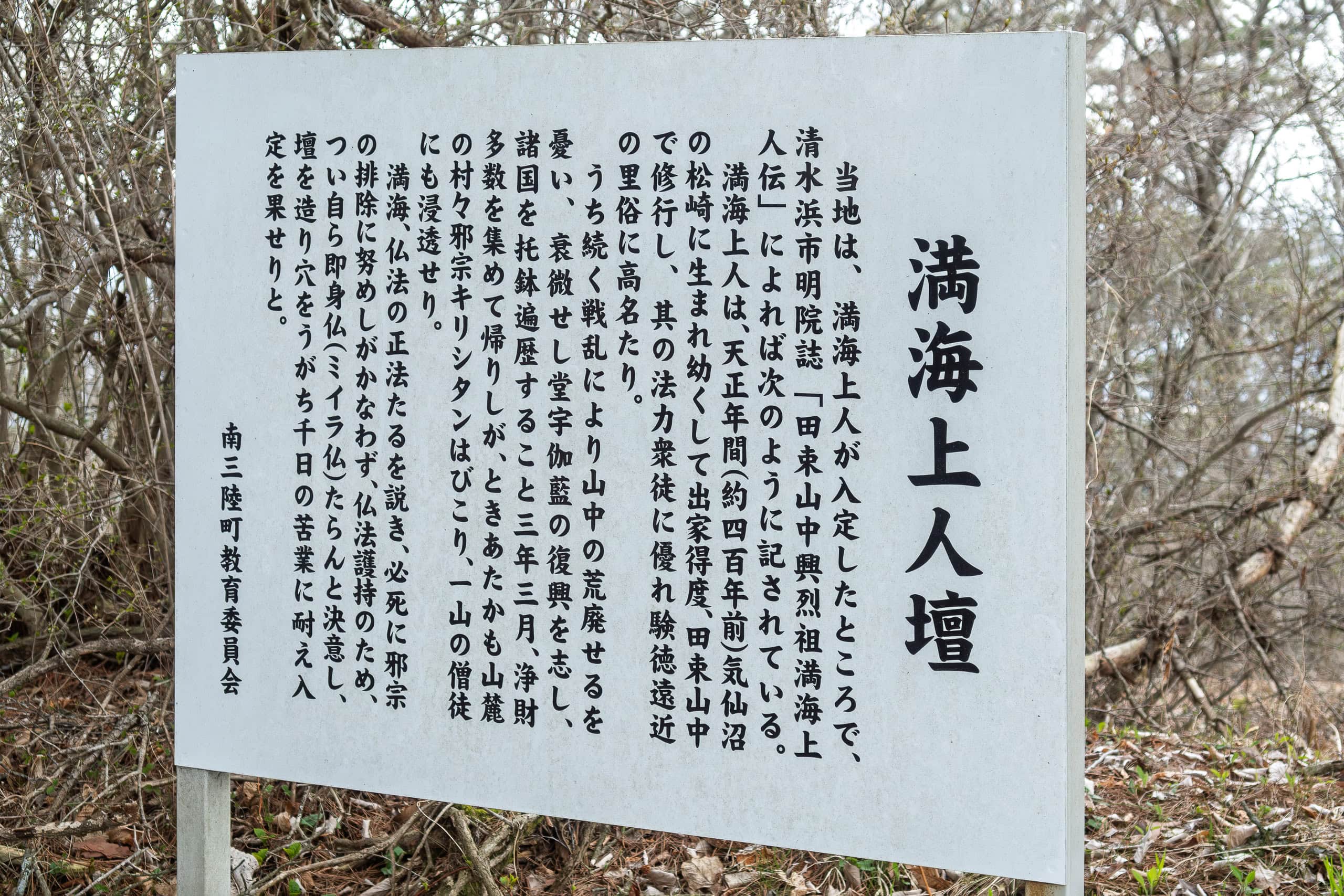
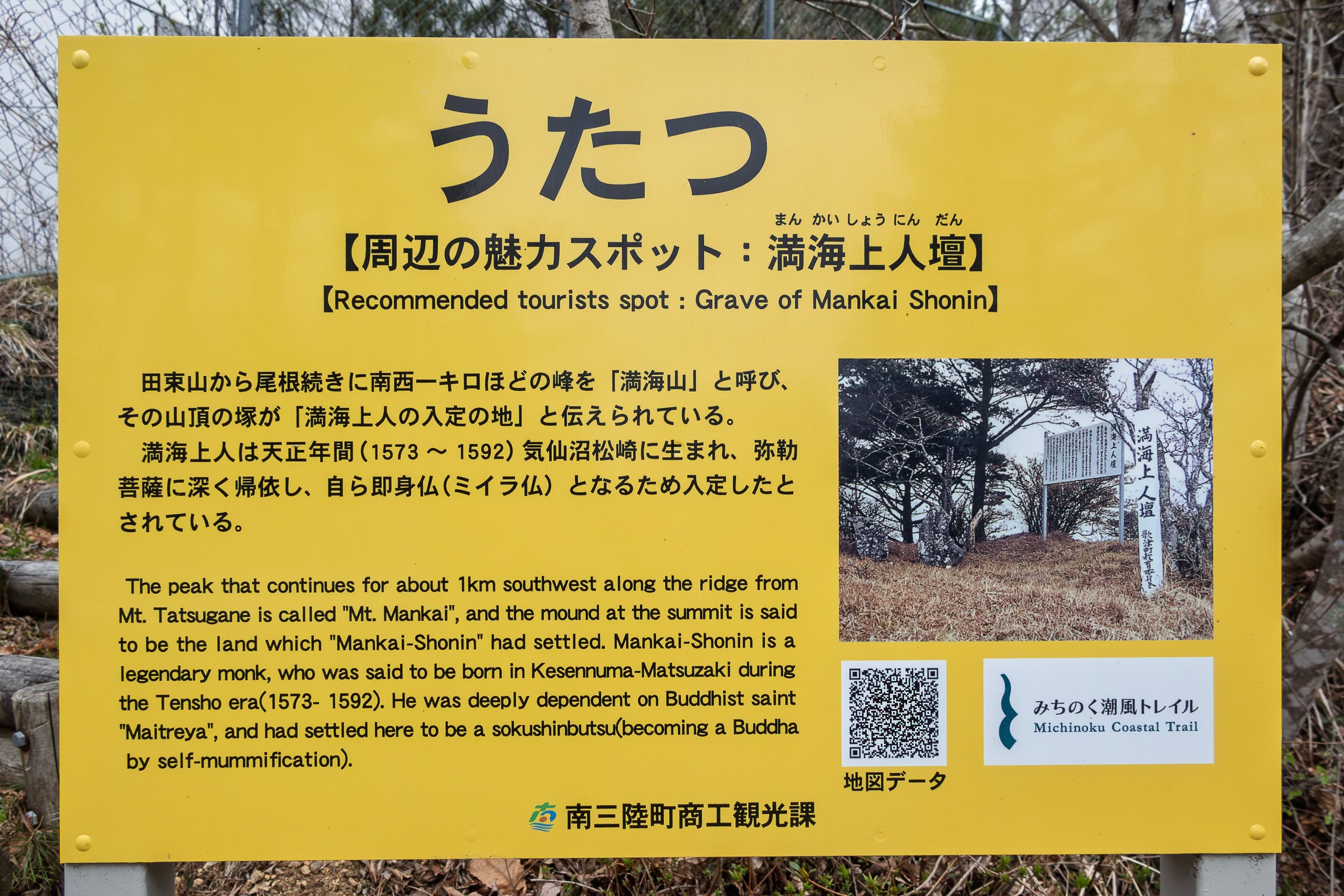
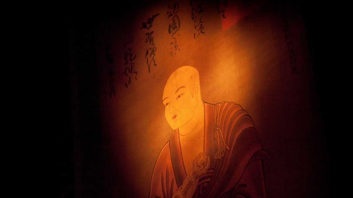
Mankai lived during Japan’s civil-war era, roughly 400 years ago, and became a Buddhist monk at a very young age.
Through rigorous practice, he gained strong spiritual power and earned deep trust and admiration from people around him.
When warfare destroyed the temples of Mt. Tatsuganesan, Mankai traveled across Japan to collect donations for their rebuilding. By the time he finally returned, however, Christianity, newly introduced by the first Westerners to Japan, was rapidly spreading in the region. Even longtime worshippers of the mountain temples began converting.
Mankai worked tirelessly to protect Buddhism and urged villagers to remain faithful. But at the time, people — nobles and commoners alike — were fascinated by unfamiliar Western ideas and objects. (This fascination would later contribute to Japan’s 300-year national isolation during the Tokugawa Shogunate, meant to prevent internal unrest caused by foreign influence.)
Watching everything he had devoted his life to slowly collapse, Mankai chose a final, radical act: he decided to become a Sokushinbutsu 即身仏 — a self-mummified monk — to gain Buddha power and serve as the eternal guardian of Buddhism and his temples.
The information board explained that Mankai entered a tiny underground prayer chamber beneath the mound and practiced for one thousand days, successfully completing the process. It is believed that his body remains here, still in prayer.
As we left the site to continue our MCT hike, I told Erik a sequel to Mankai’s story that I’d read somewhere — probably in a history website or old guidebook.
According to that account, Mankai instructed his followers to dig him out after several years. They began collecting funds to build a special temple to enshrine his body. But the civil wars had not yet fully ended, and their efforts were repeatedly disrupted. Eventually, the plan dissolved into confusion, and over generations, Mankai himself was forgotten.
I couldn’t help imagining him still waiting — wondering why people are taking so long.
It’s been about 400 years, after all.
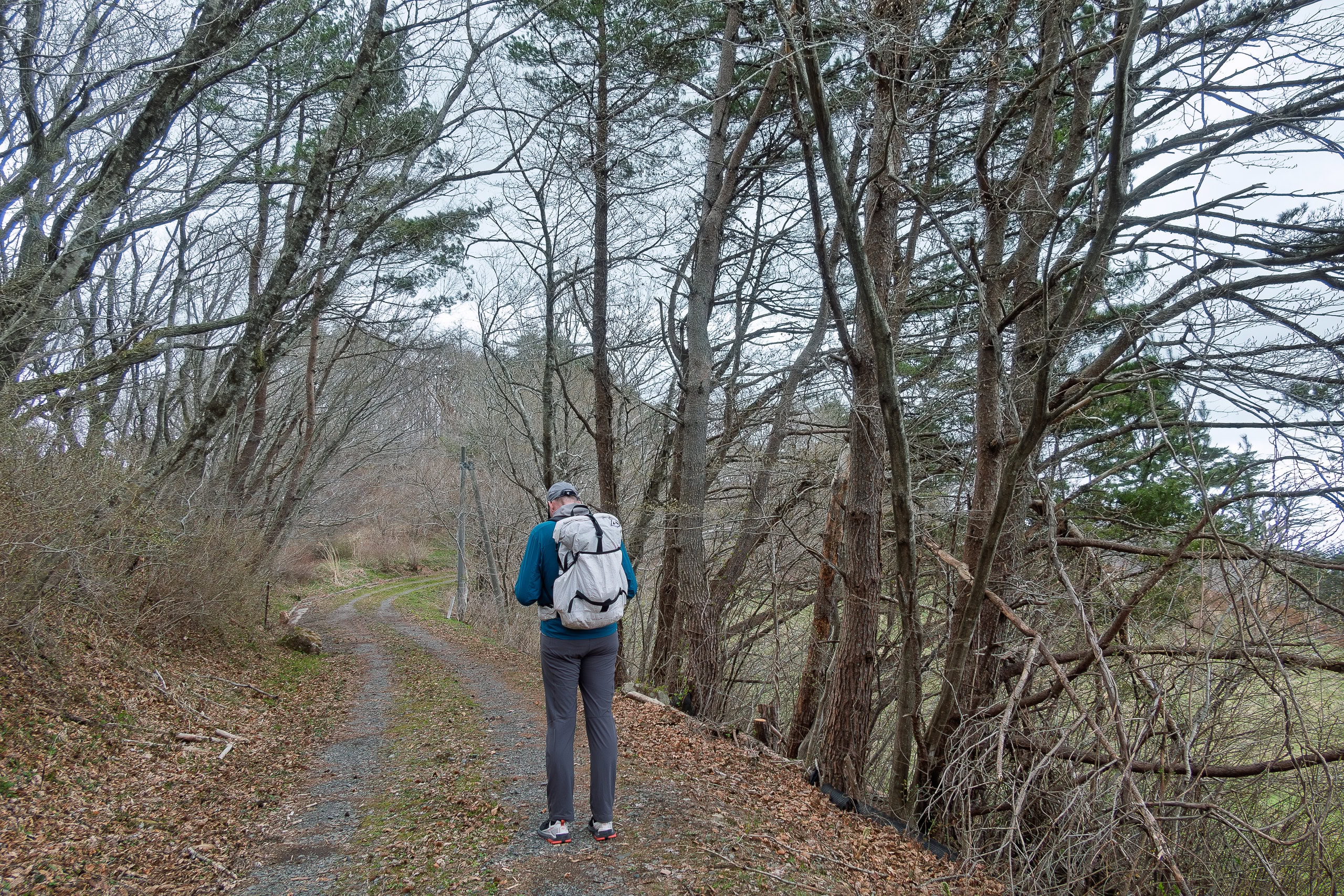
From Mt. Mankaisan to the true Mt. Tatsuganesan peak, the ridge area was broad, open, and surprisingly flat — almost like an old ranch. We scanned the fields, half-expecting to see cows or horses, but found none.
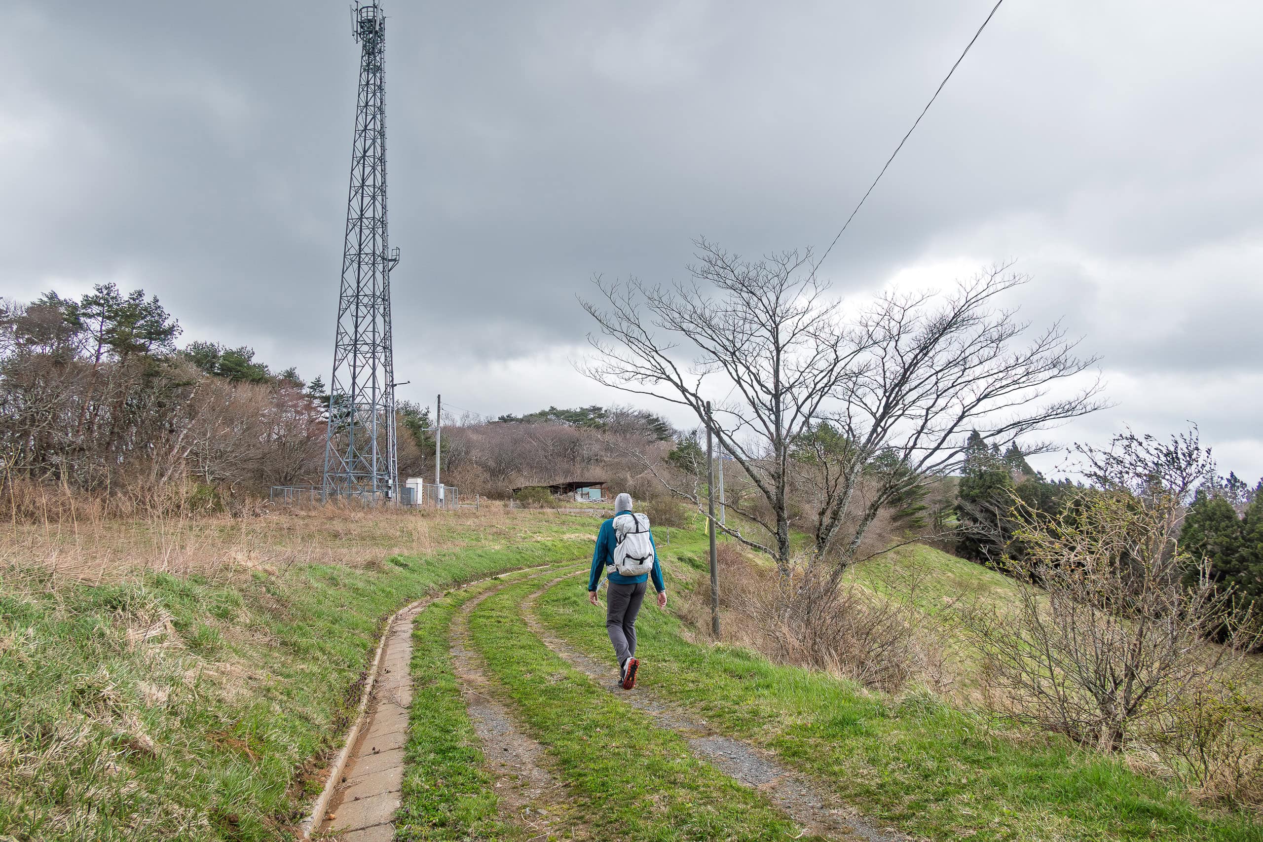
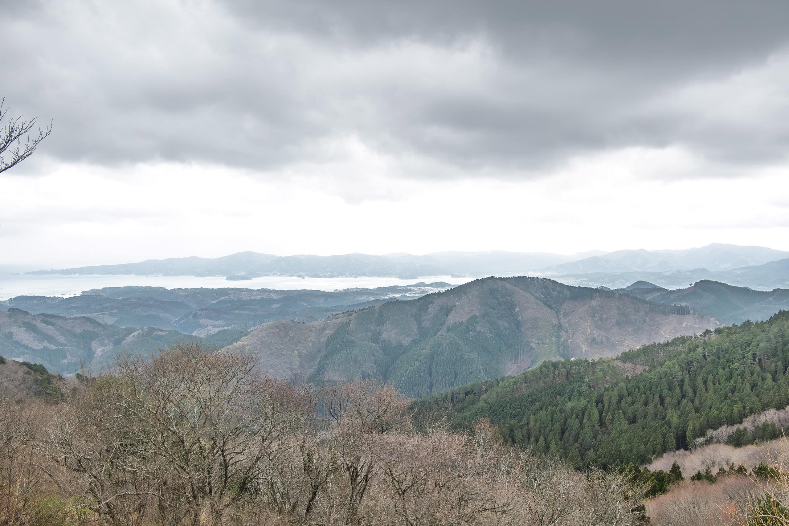
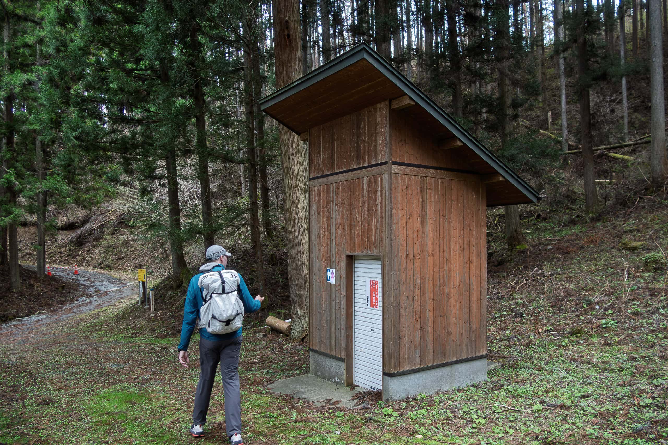
Following the ridge, now a farm road, we quickly reached the true summit of Mt. Tatsuganesan. There, we found a well-maintained paved road that allows easy vehicle access from the opposite side of the mountain. A large parking area and public restroom stood nearby.
I had noticed earlier that much of the mountaintop was covered in azalea trees, all packed with tiny reddish-orange buds. Unfortunately, we were about a month too early for peak bloom in May.
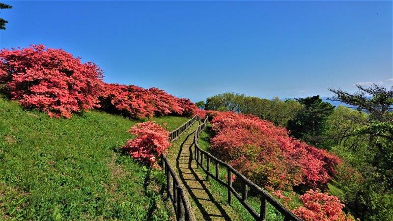
It’s easy to imagine how stunning this place must be then — a carpet of fiery flowers set against the deep blue ocean beyond.
No wonder it is filled with visitors and photographers every spring.
Monk’s Trail and the Moai
The summit of Mt. Tatsuganesan rose just a few meters above the car road, but we didn’t bother climbing the stairs to tag it.
Even if it was technically the highest point of the day, we were still nowhere near the halfway mark of the distance we had to cover.
Right in front of the parking lot and public restroom, the MCT route dropped back into the forest. This time, it was the kind of mountain trail we had been waiting for. In fact, this seemed to be the most popular route among day hikers out of the several trails around Mt. Tatsuganesan.
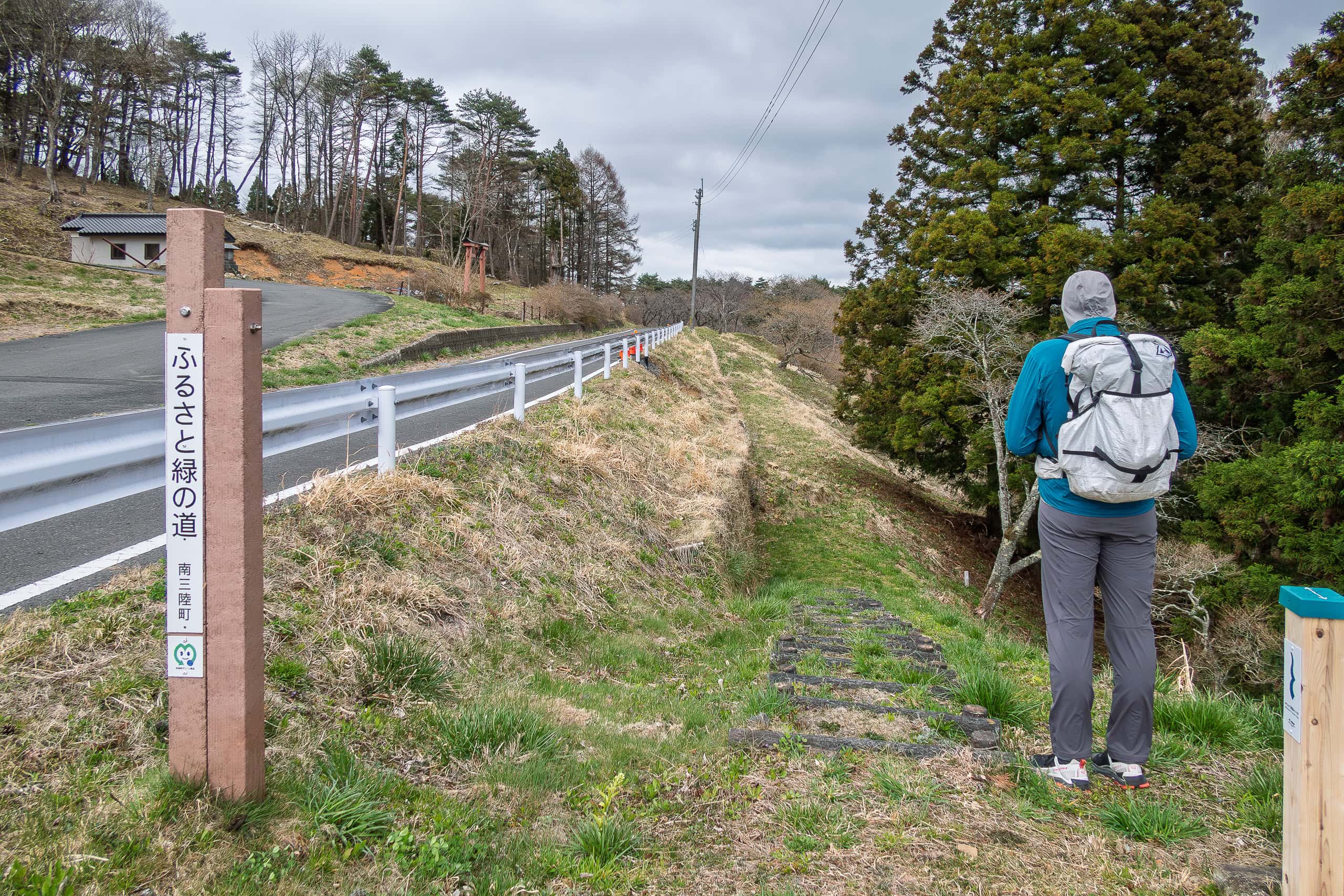
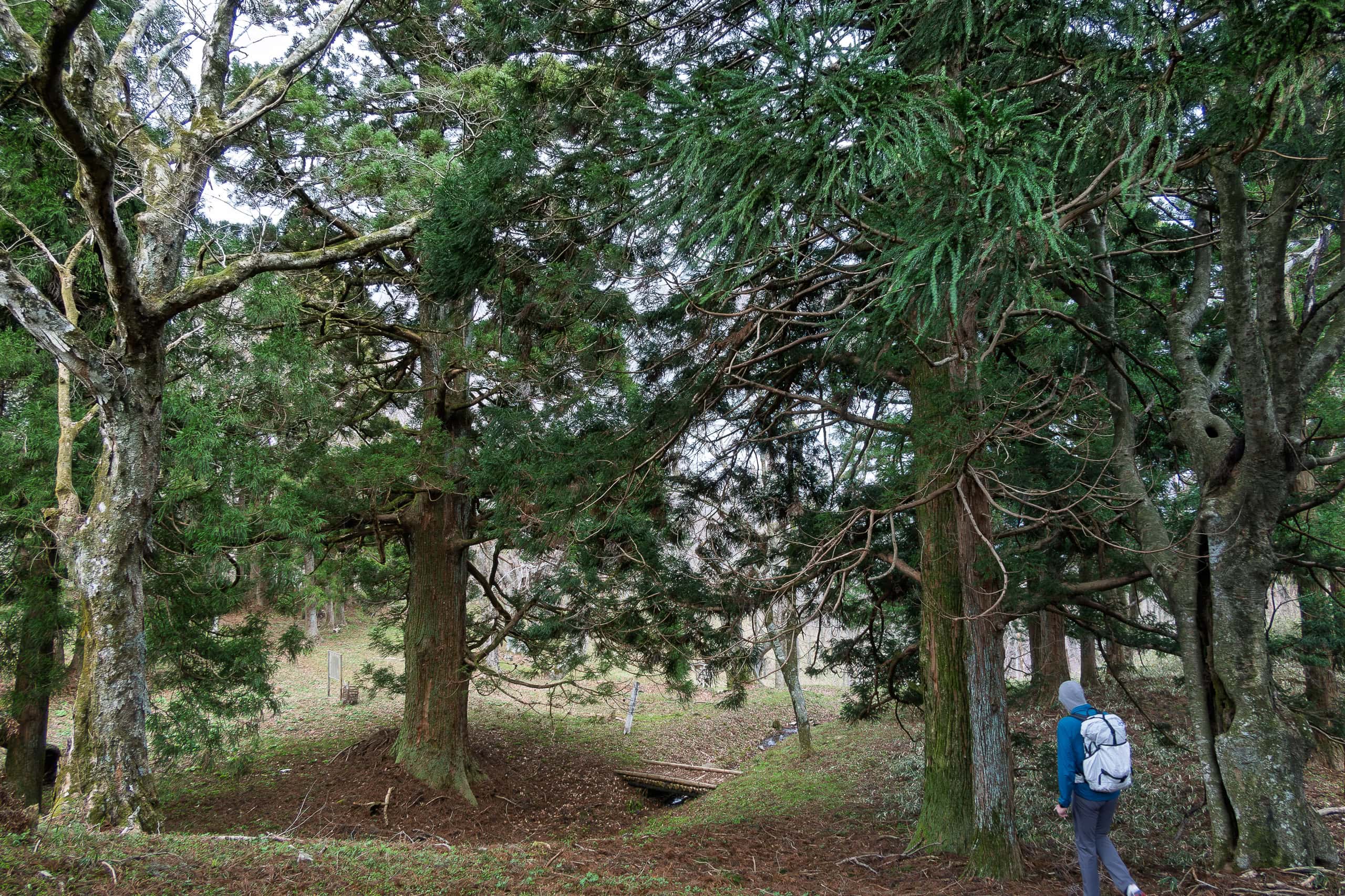
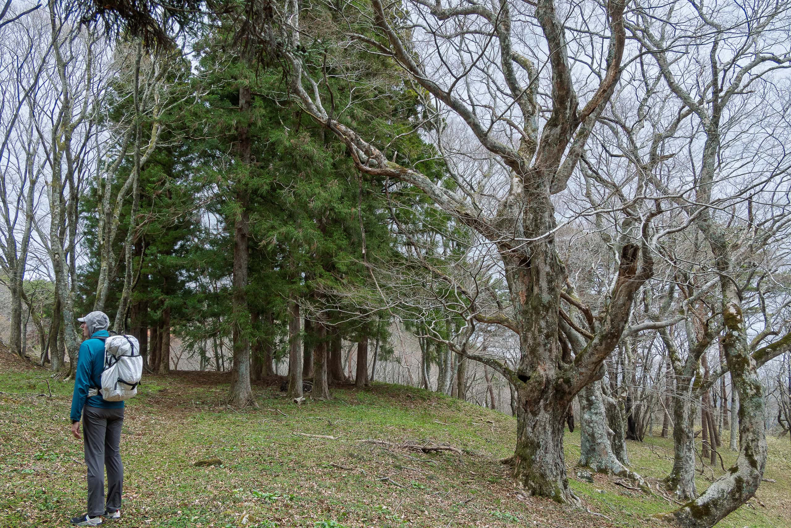
We descended through thickets of dried hydrangea bushes lining both sides of the path. While we appreciated the cherry blossoms elsewhere that day, we couldn’t help wishing we were here during azalea or hydrangea season.
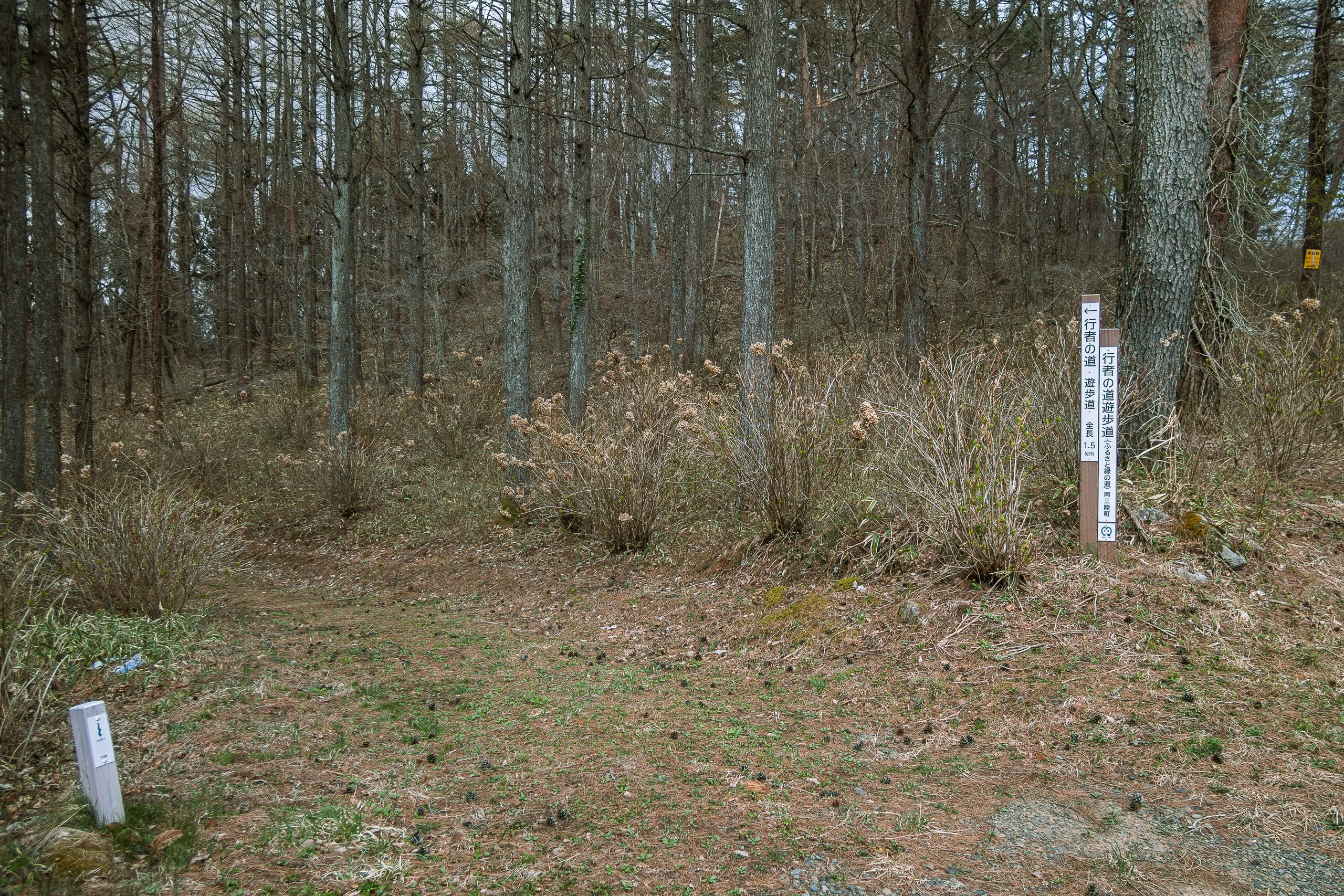
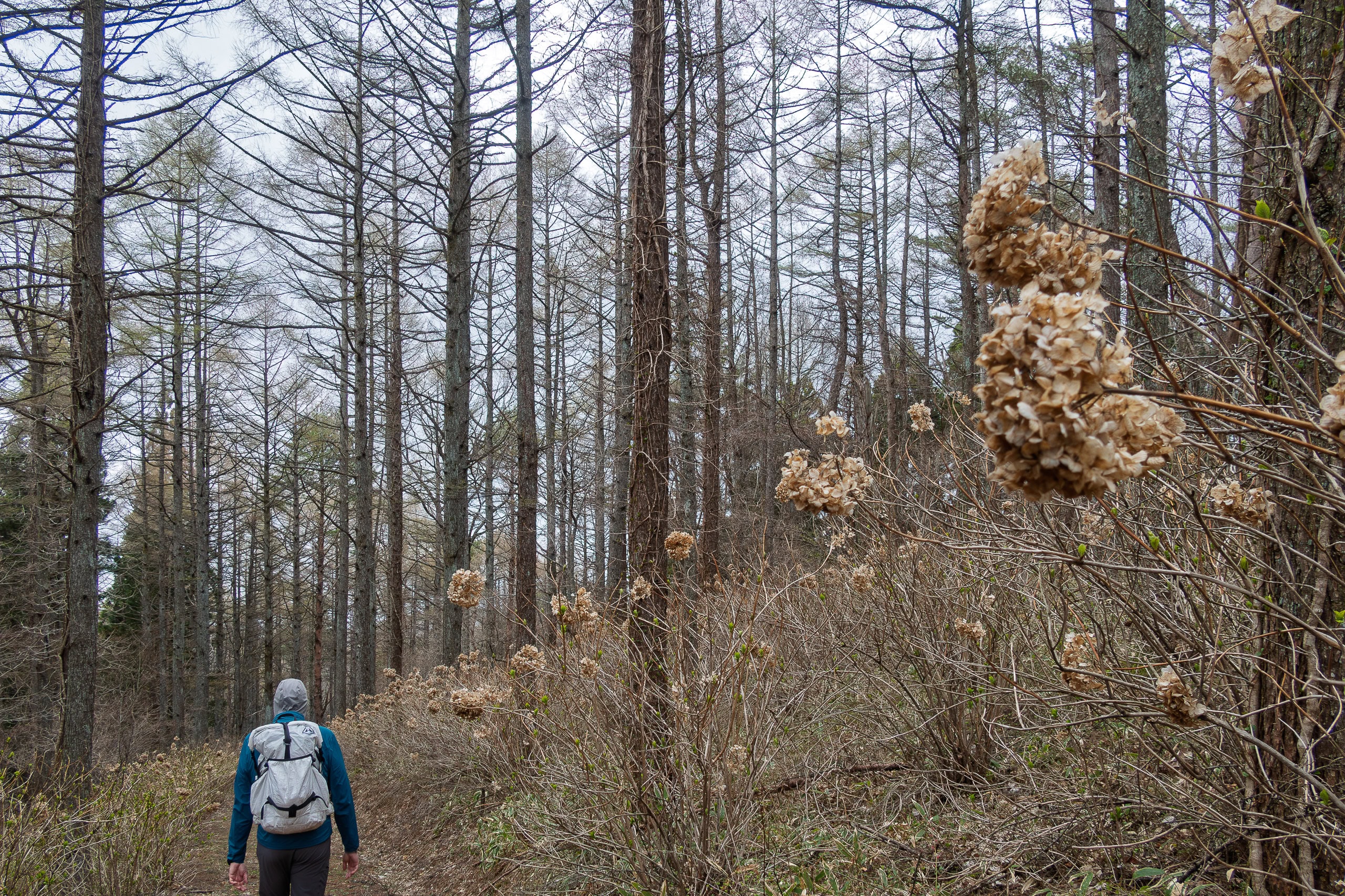
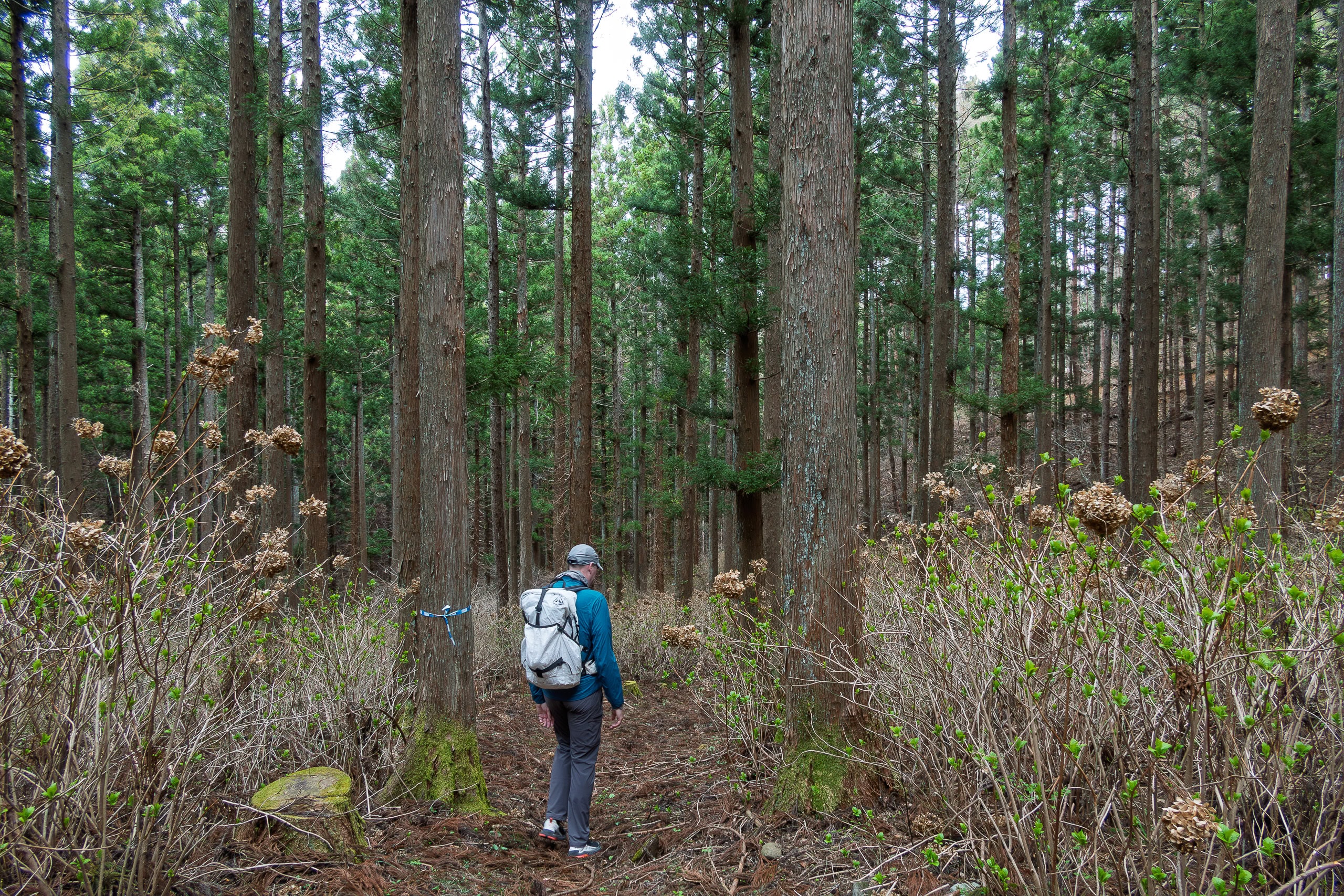
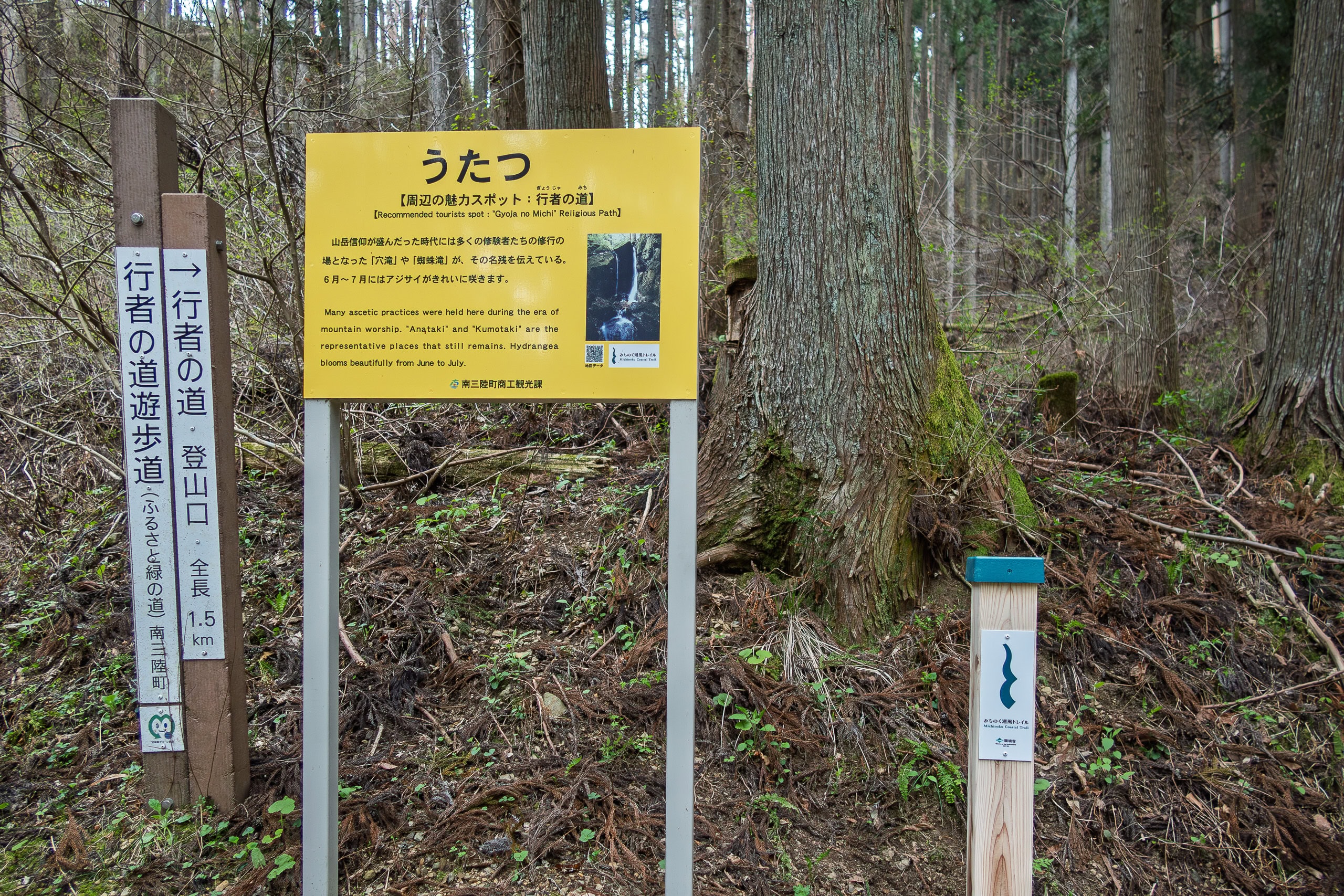
This route is called Gyoja-no-michi, the Monk’s Trail.
The Japanese word gyoja refers to monks who practice mountain asceticism. Their training involves running through deep mountains and climbing rocks and cliffs. Many of their former practice paths have since become hiking trails, often known for being tougher, more dramatic, and more beautiful — with rocks, streams, and waterfalls. We’ve walked several of these former monk trails in western Japan and usually love them.
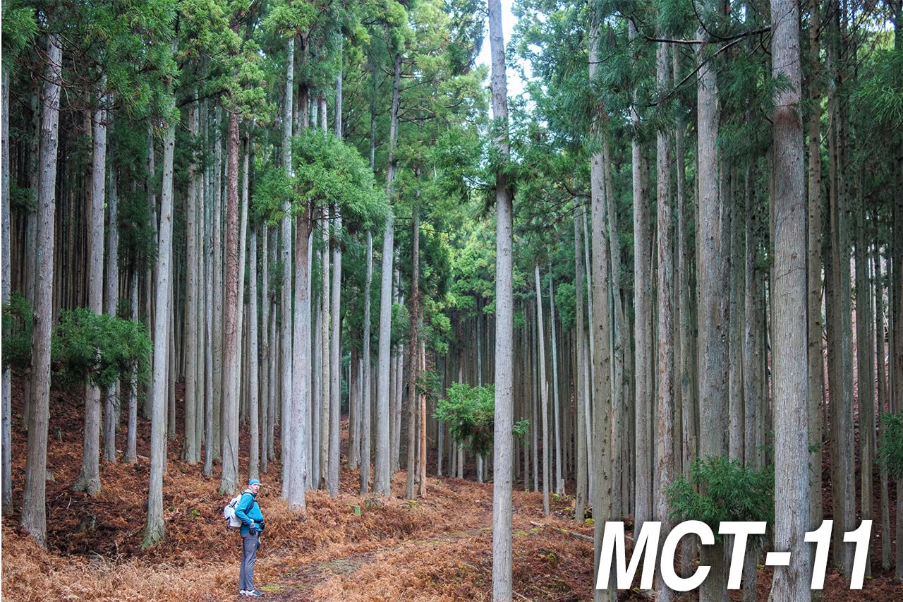
Naturally, we expected the same here on Mt. Tatsuganesan. But honestly, most of this trail was fairly standard. Yes, it was a proper forest path and certainly more enjoyable than the service road we’d walked up earlier — but not especially dramatic.
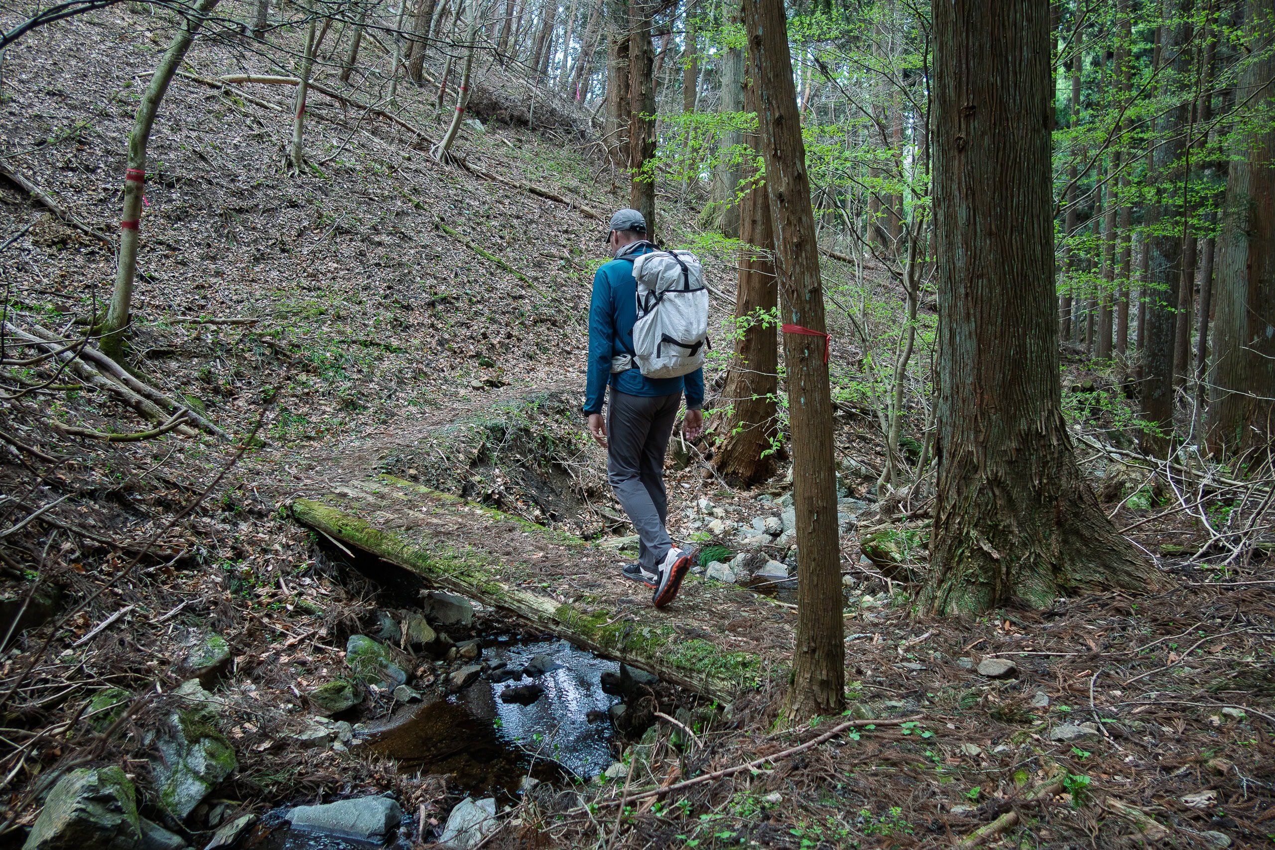
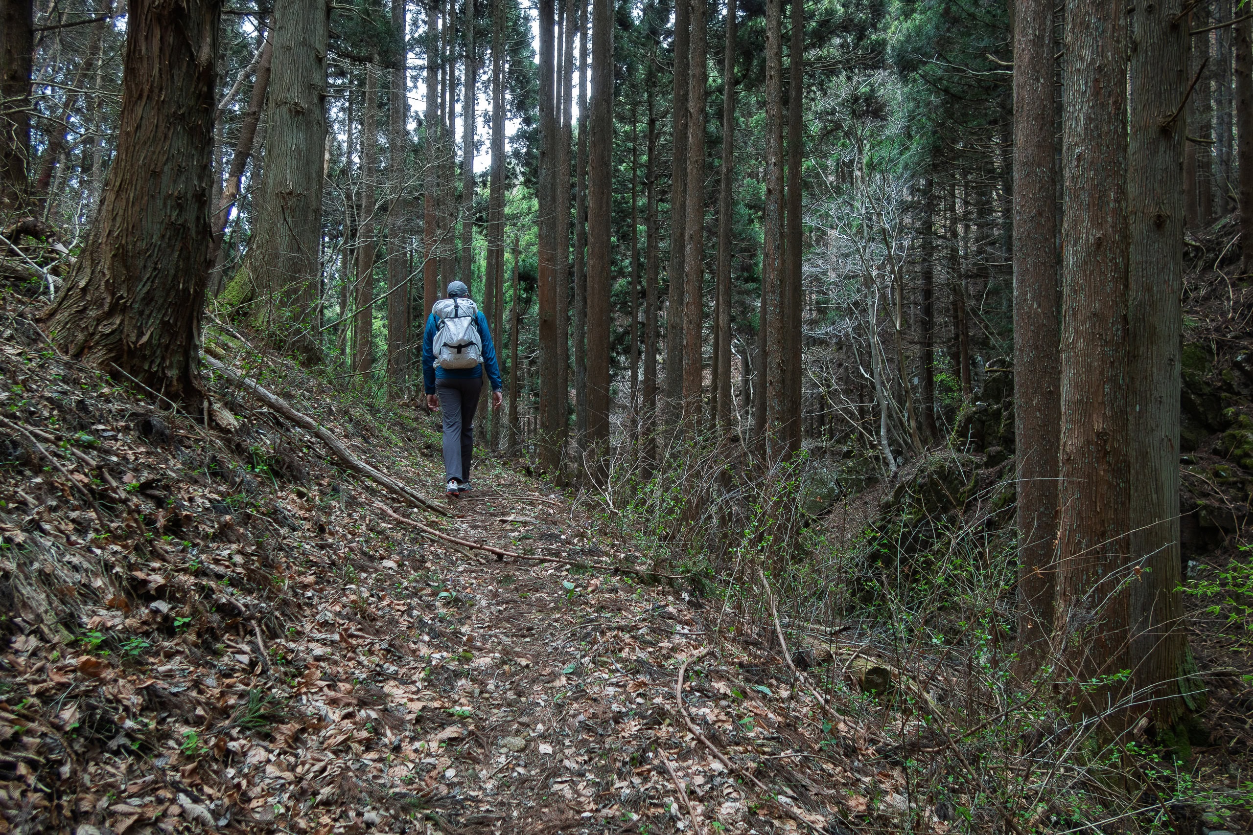
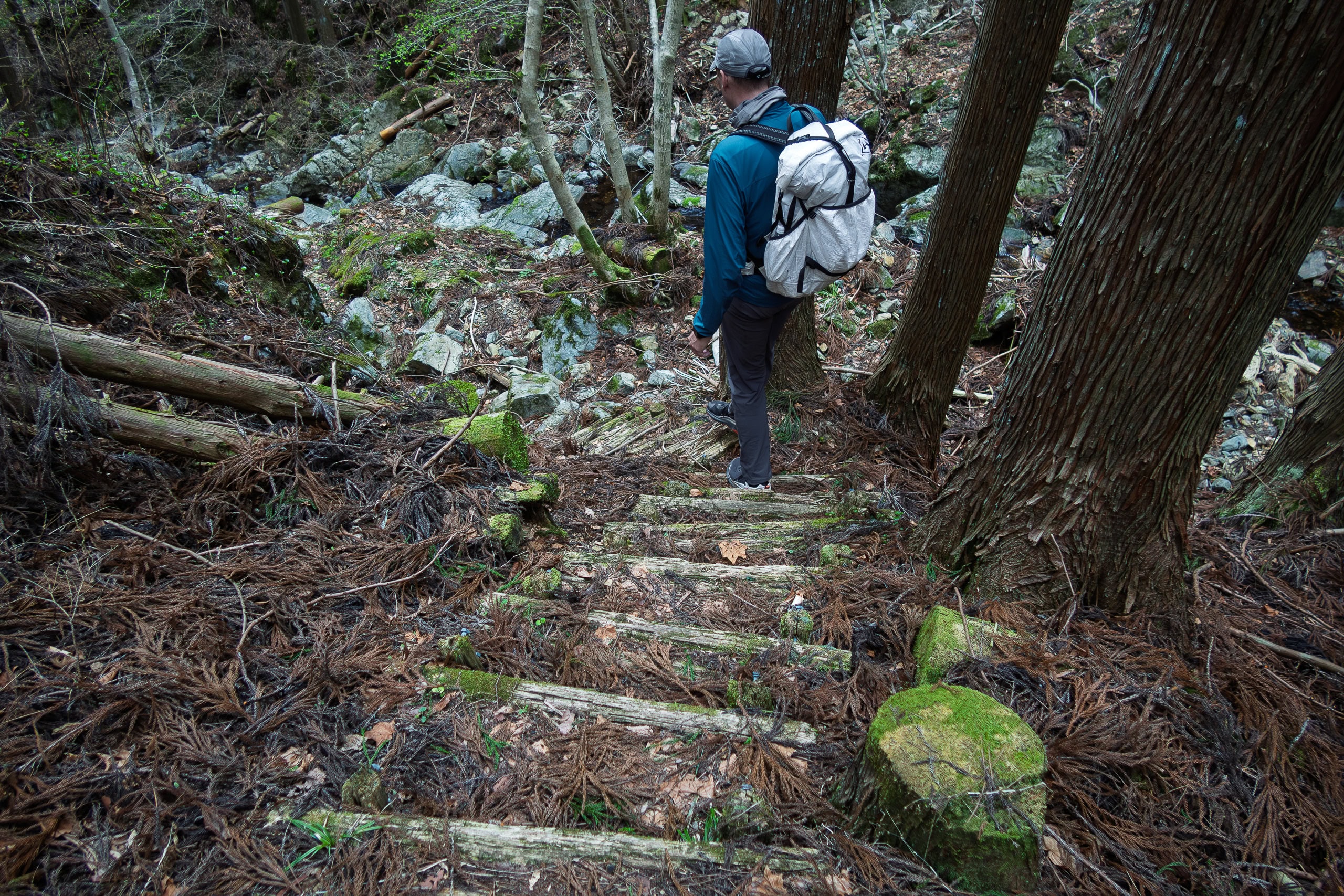
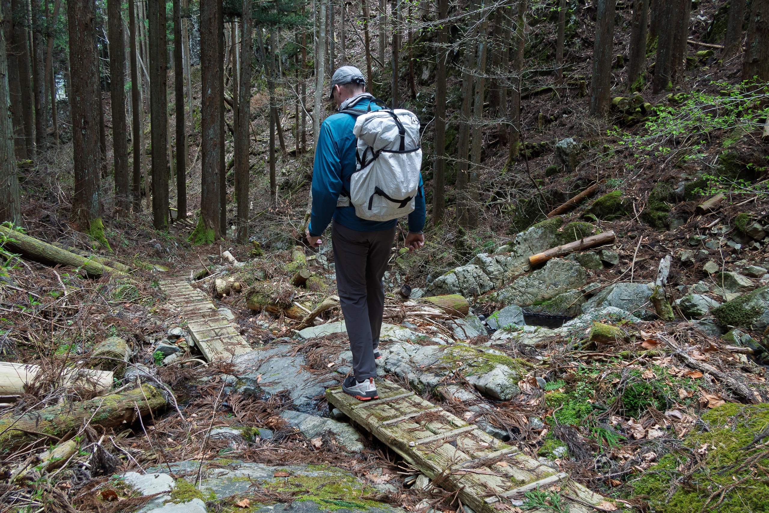
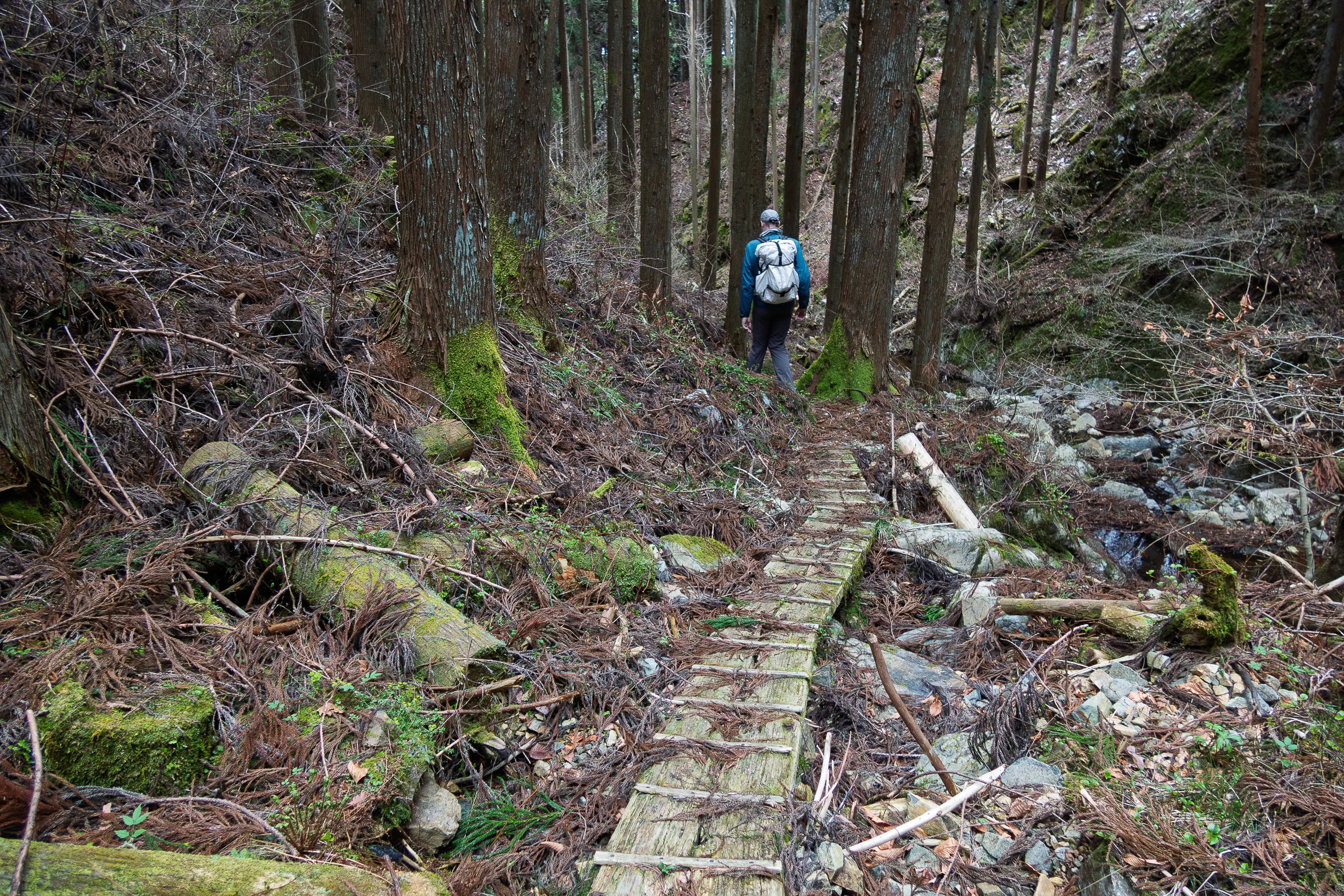

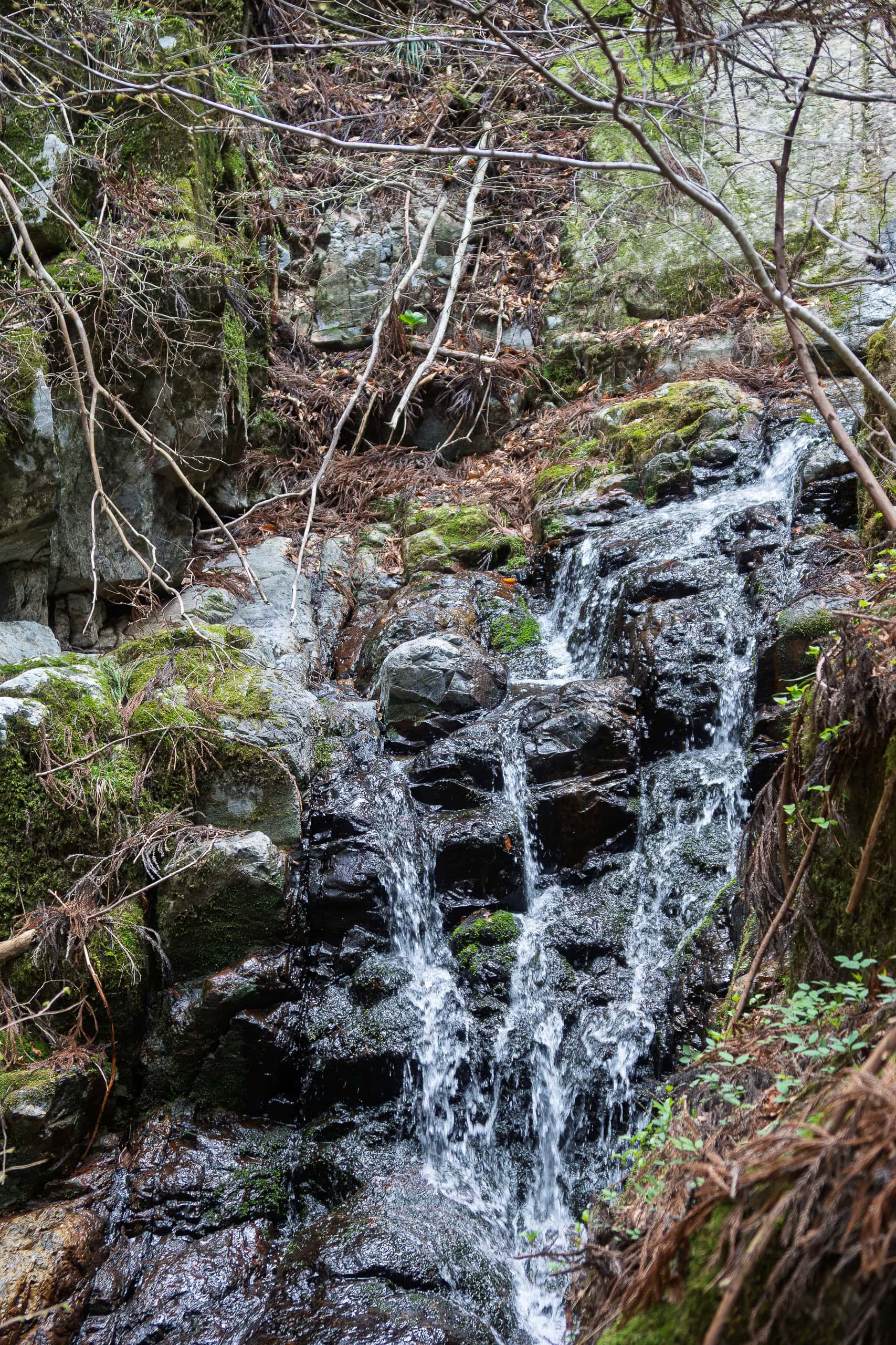
We passed two signposts pointing toward waterfalls, but both were unimpressive at this time of year, still dry before the rainy season.
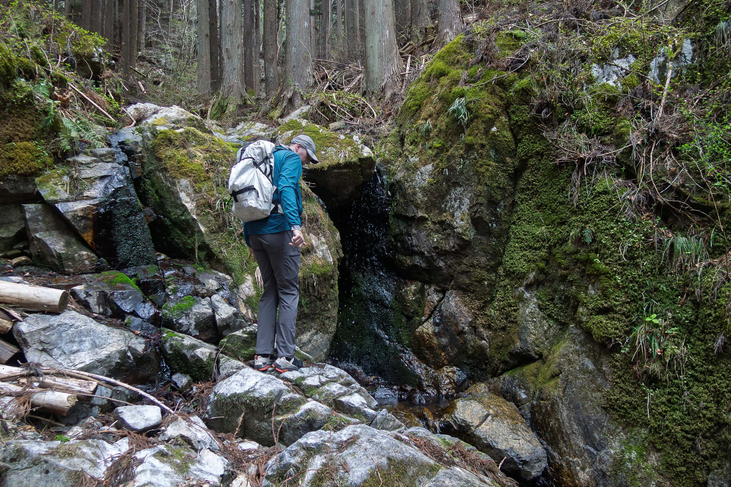
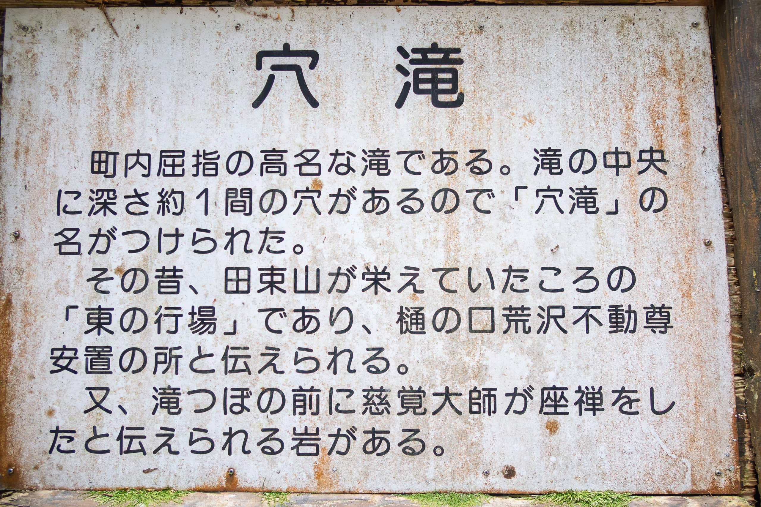
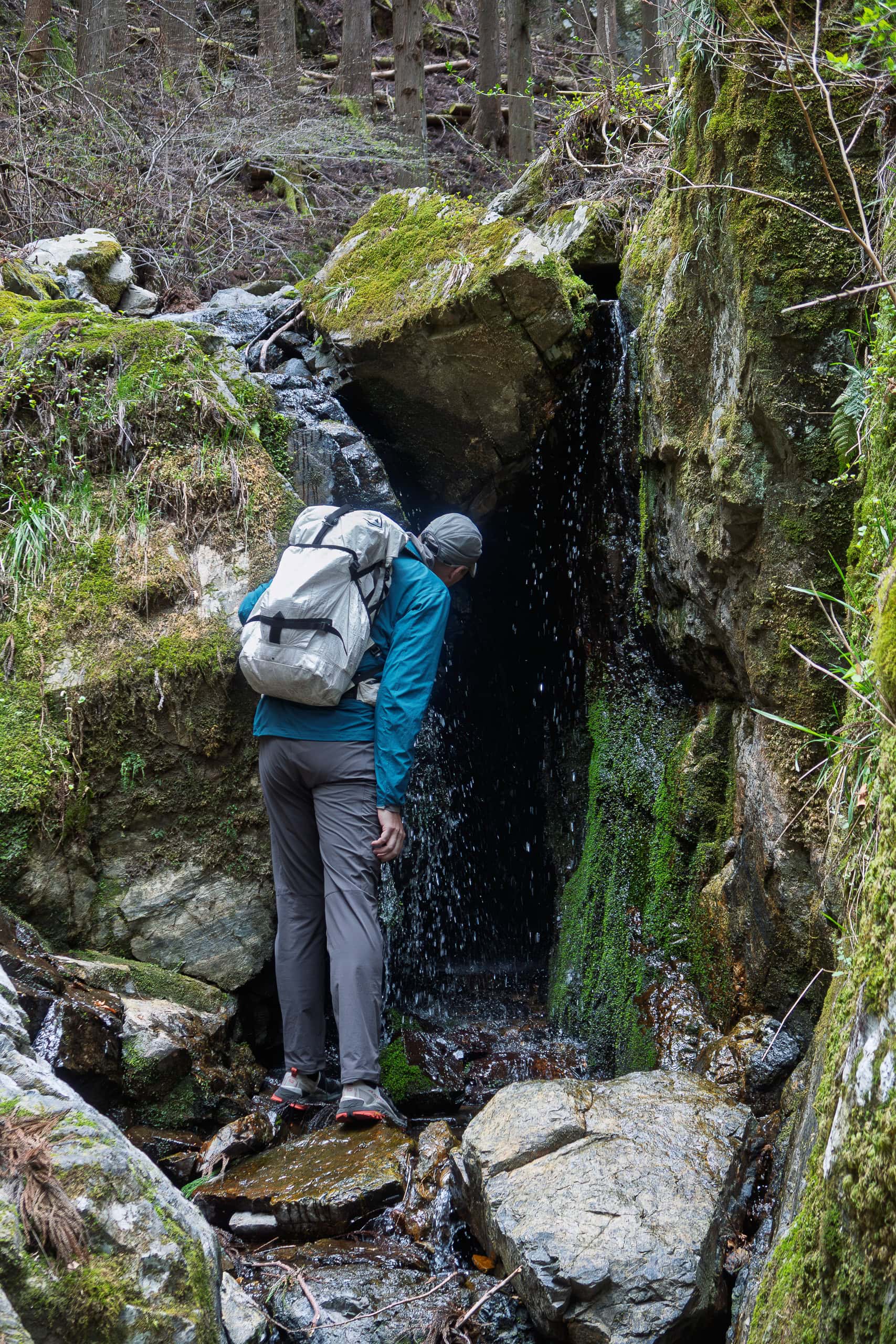
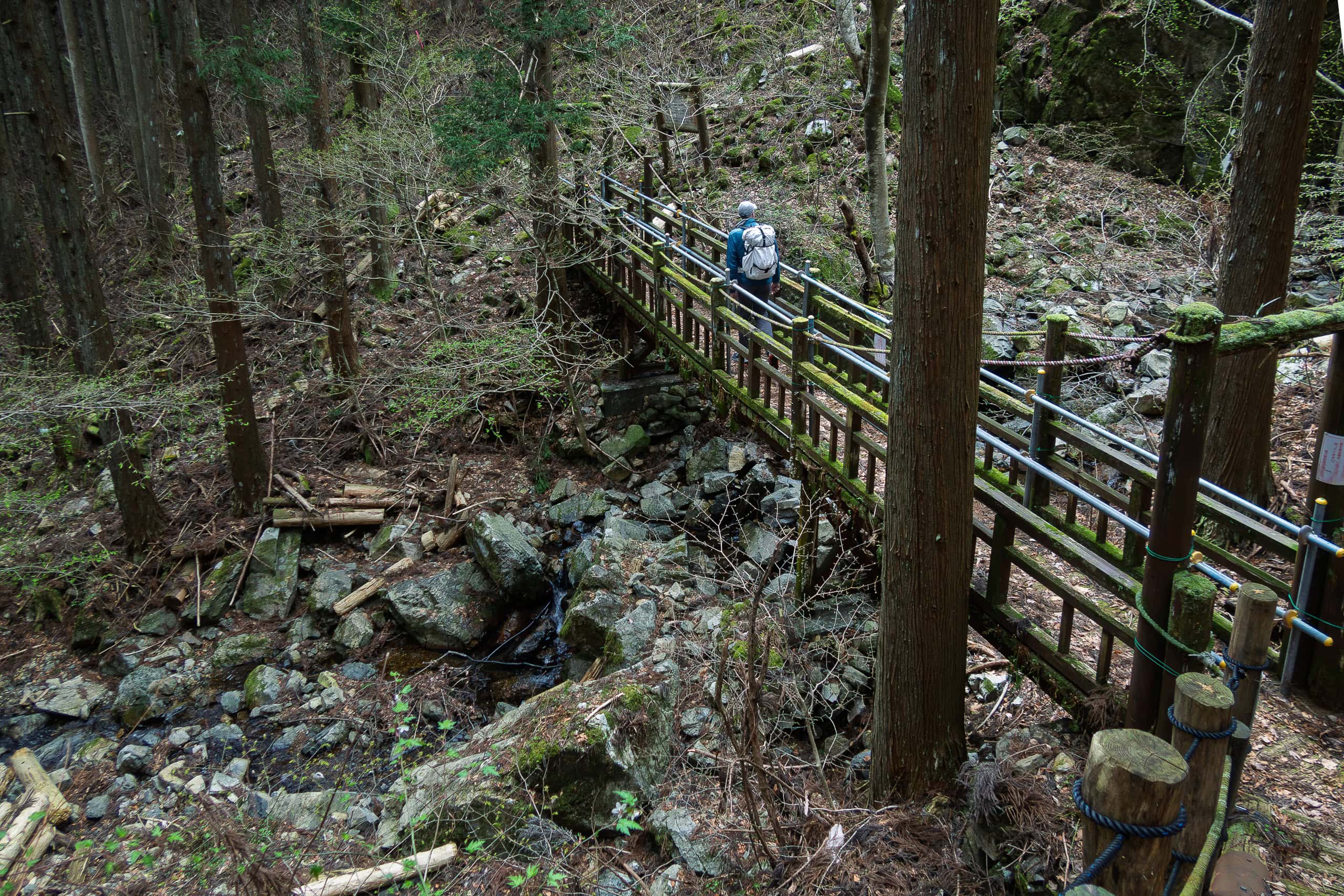
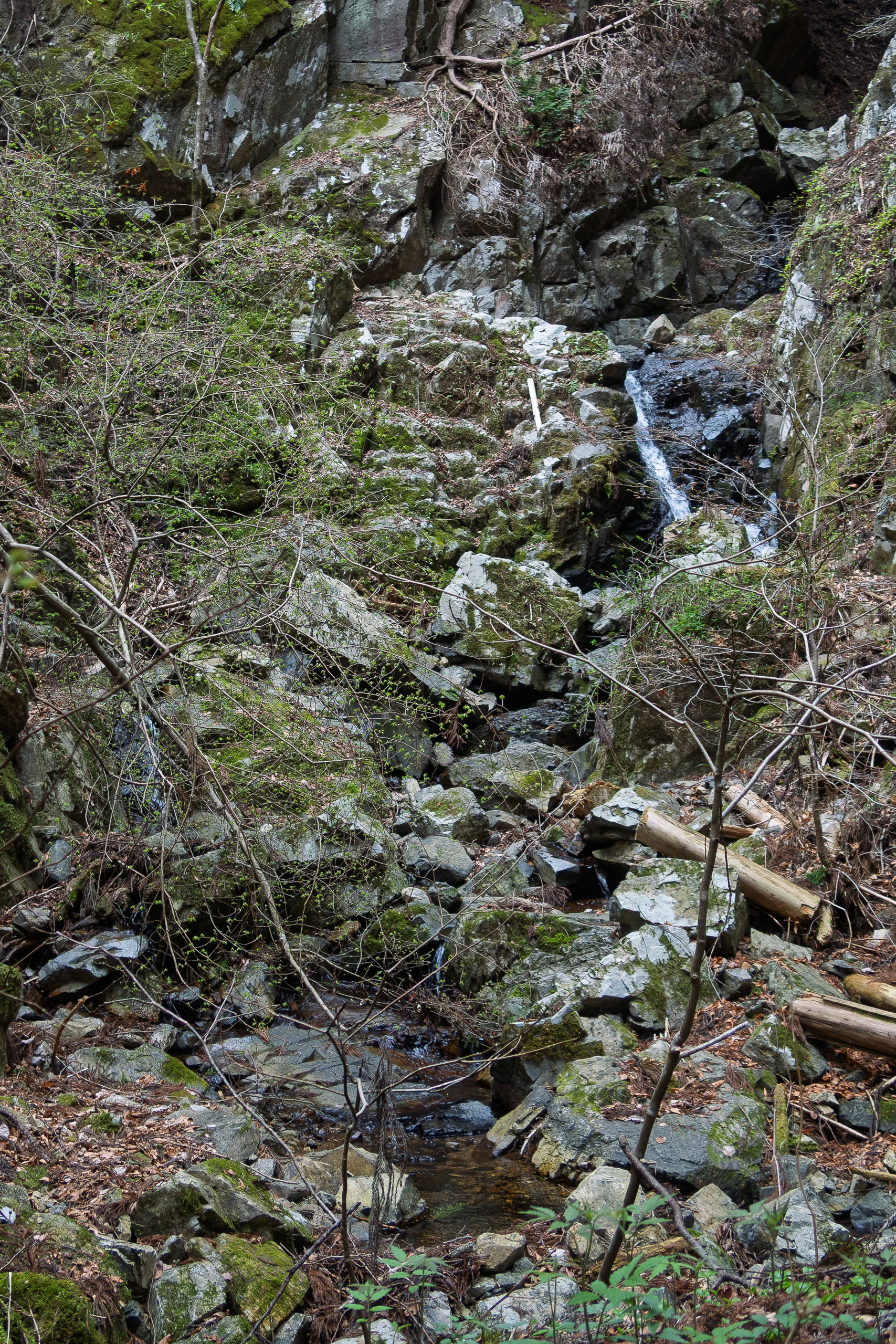
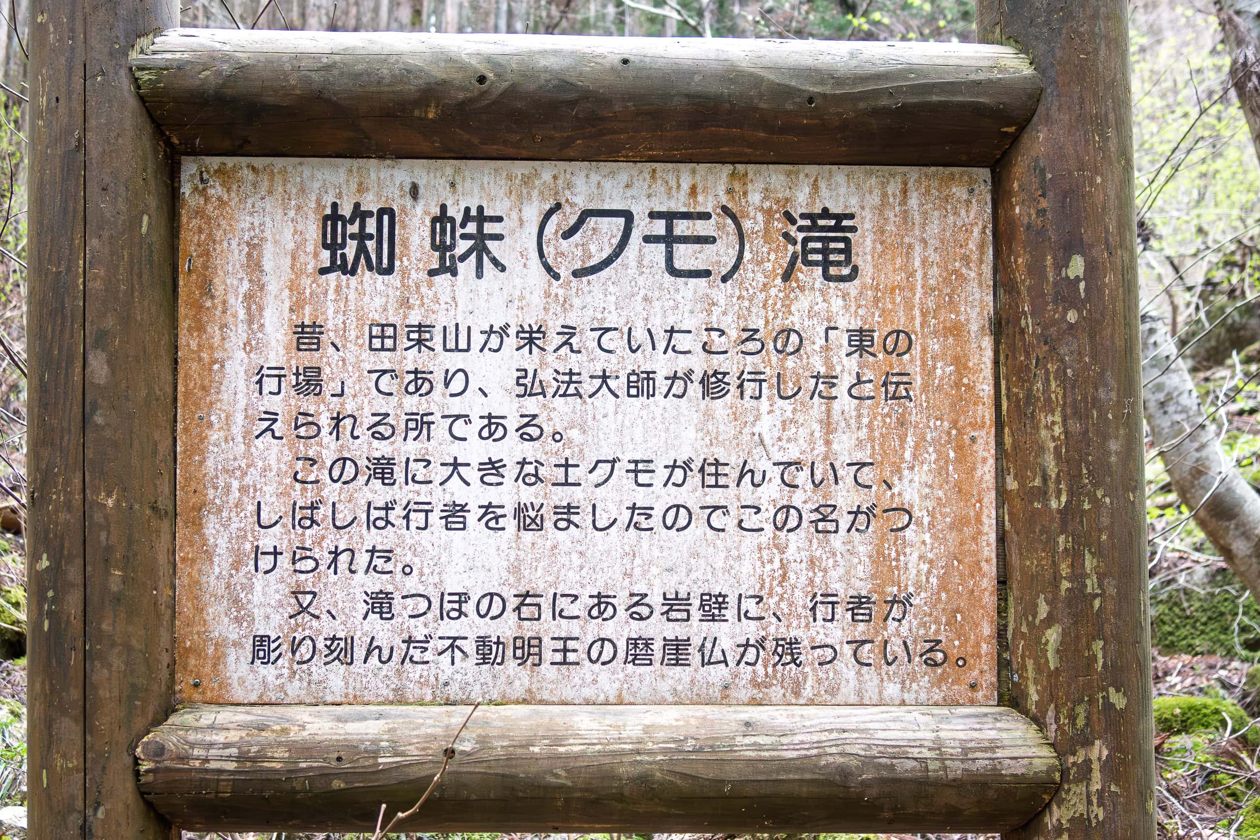
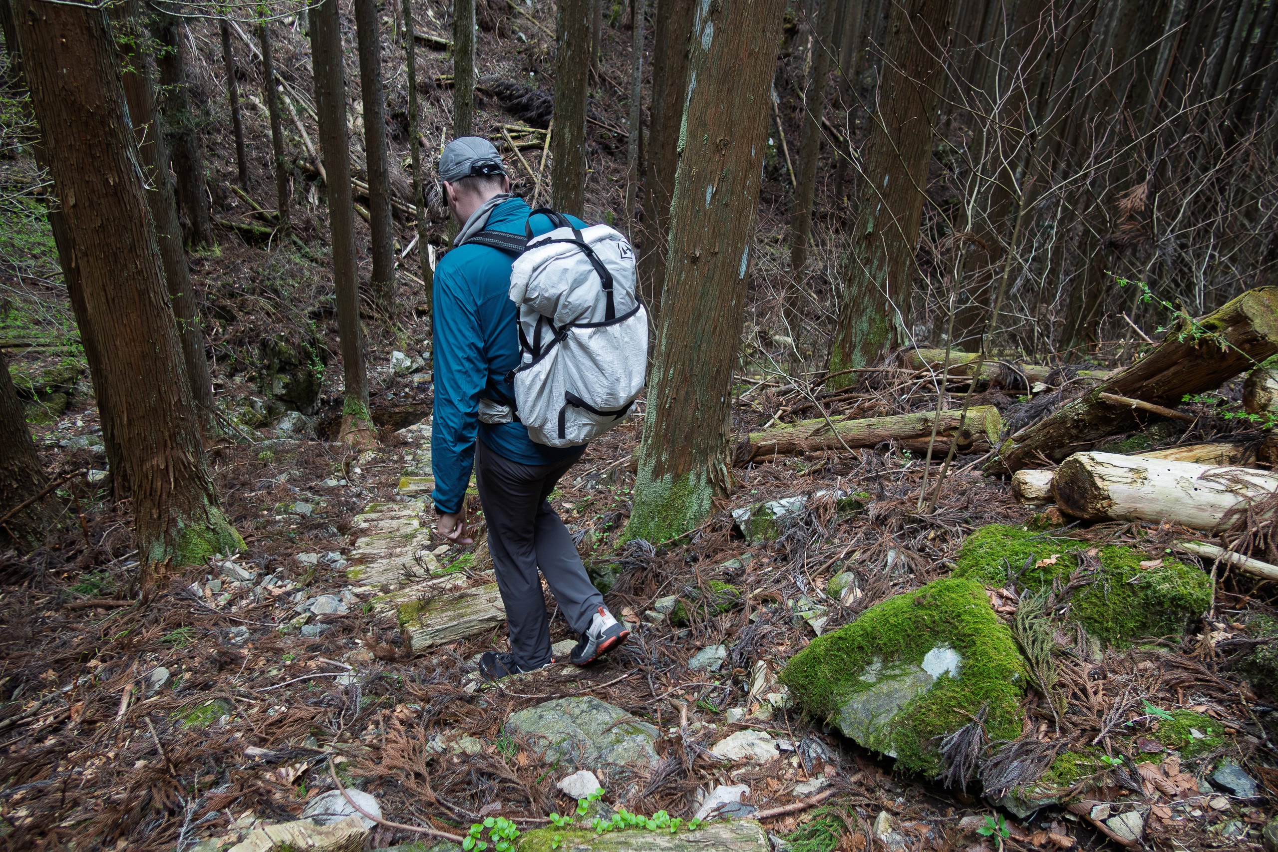
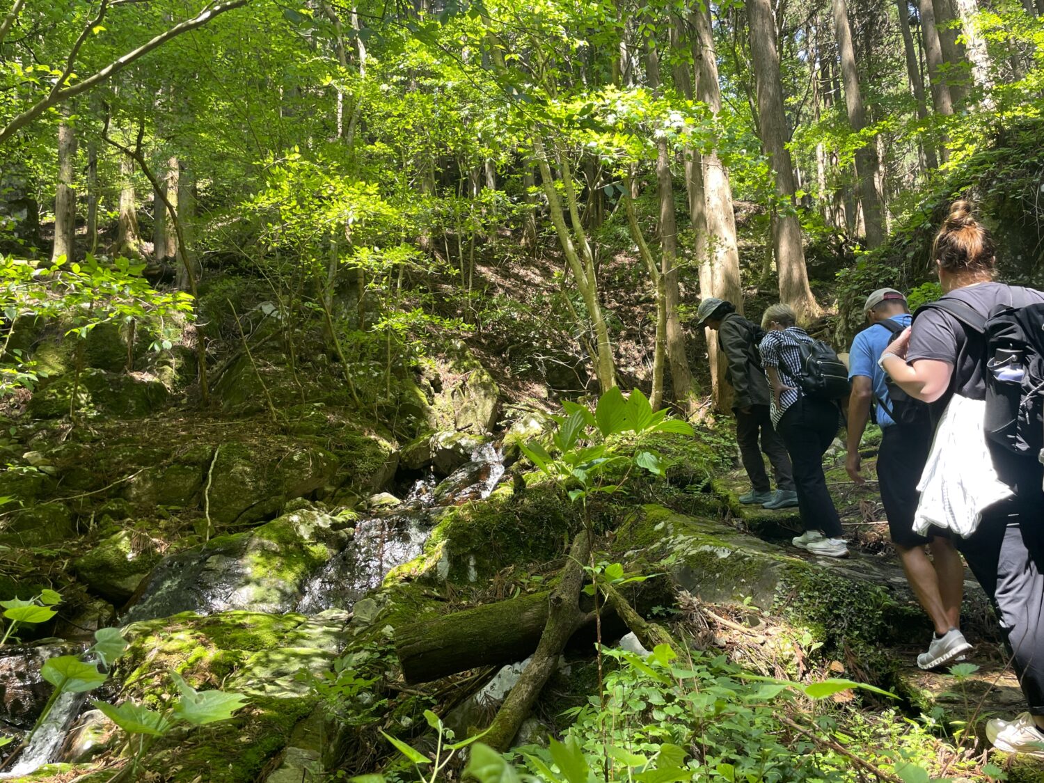
And because regular trail maintenance for hiking season hadn’t fully started yet, the path was a bit rough, marked by winter runoff and snowmelt.
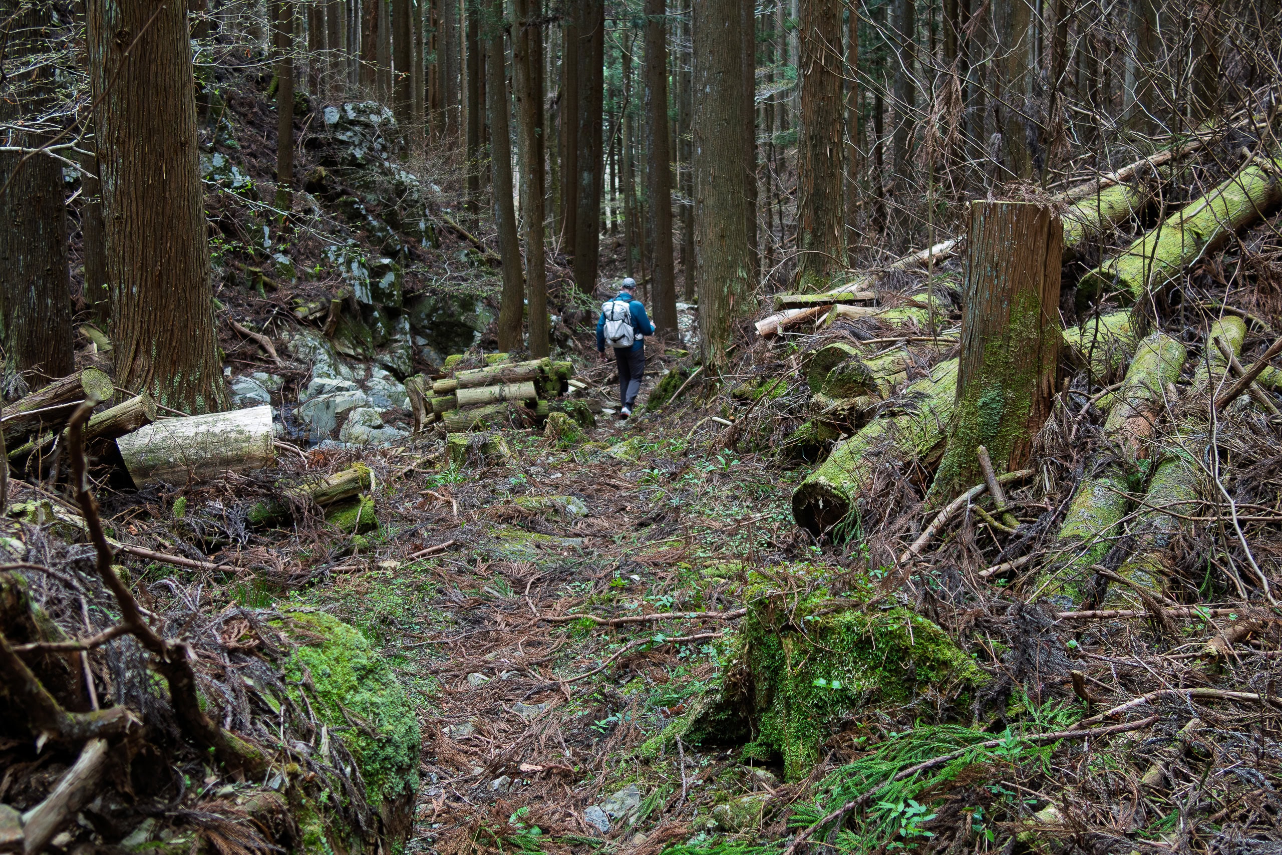
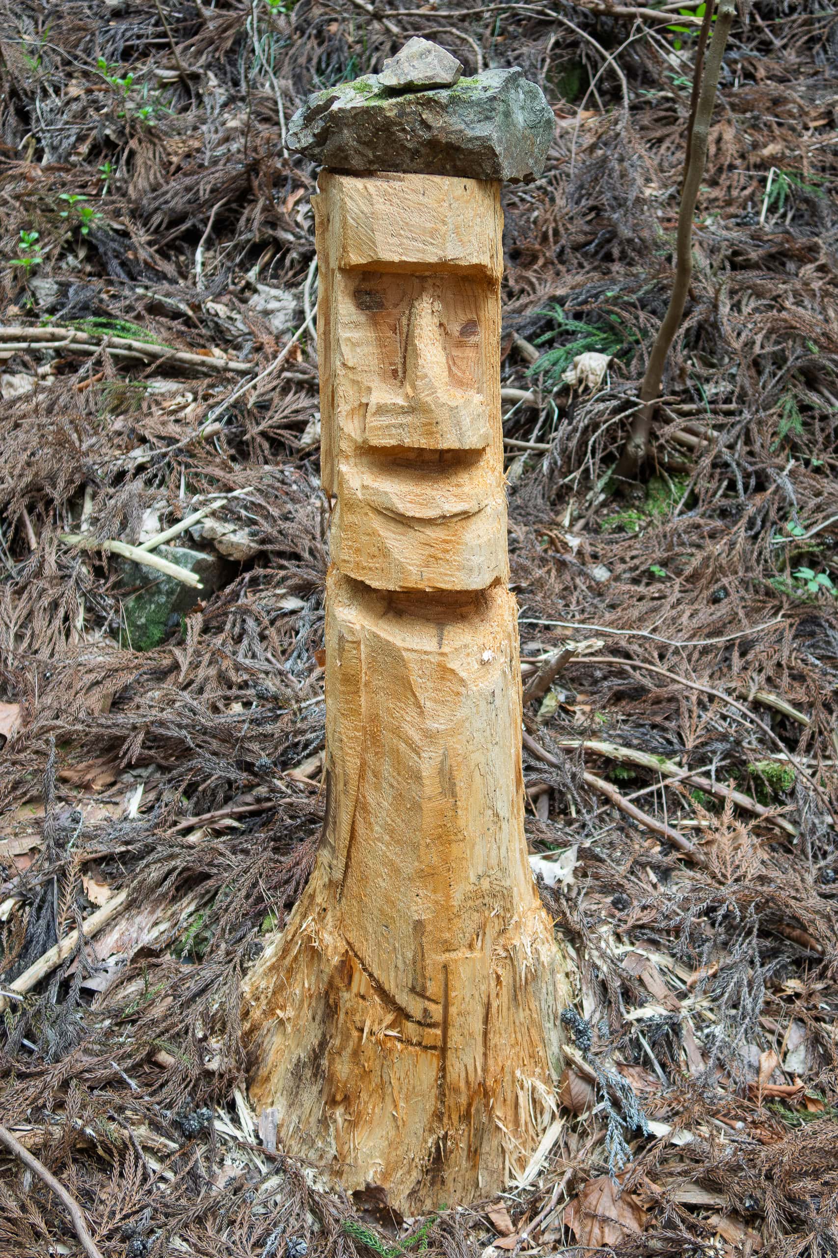
Then, without warning, we encountered a random moai standing right beside the trail.
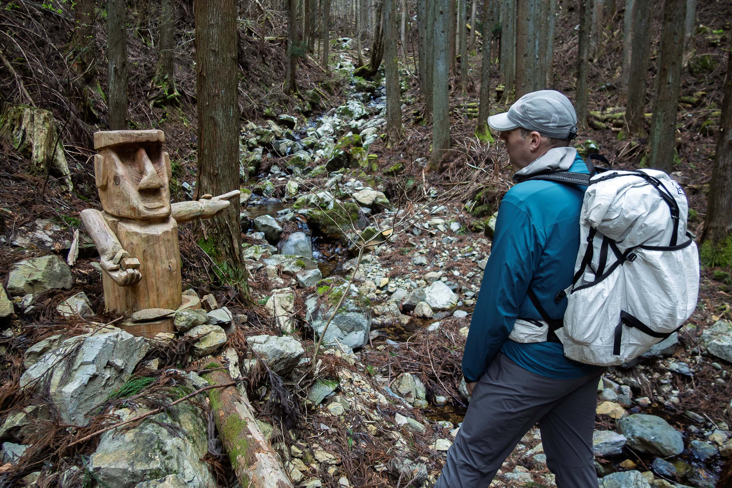
It was carved from a broken tree trunk. Unlike the classic moai statues, this one had arms and hands. One arm pointed in the direction we were heading. The other stretched toward us, palm open — as if asking for a tip in exchange for directions.
Erik found this deeply amusing.
Moai — A Symbol of Resilience and Recovery
While we were walking the Michinoku Coastal Trail, we never quite figured out the mysterious relationship between Minamisanriku and moai.
That was our fault.
So later, I did a bit of research.
It turns out Minamisanriku’s connection to moai runs just as deep as — and in fact longer than — its love for the lucky octopus family.
Over the years, the town has created cute moai characters (of course, complete with the entire family), a comic telling their story, and even a one-hour, heartfelt documentary film.
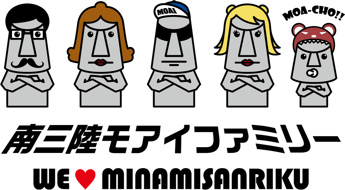

The relationship goes back much further than I expected.
In 1960, a massive earthquake struck off the coast of Chile. The resulting tsunami crossed the Pacific Ocean from the Southern Hemisphere to the Northern Hemisphere and reached Japan. The Shizugawa area was devastated at that time as well.
Thirty years later, in 1990, the town marked its recovery from that disaster by placing a stone monument of a moai head in a local park — a symbol of rebuilding and resilience.
Twenty years after that, in 2010, students in a local high school’s business program launched an initiative to revitalize their rapidly aging and shrinking hometown, using the moai statue as a central symbol.
Then, just half a year later, in March 2011, the Great East Japan Earthquake and tsunami struck, destroying the town once again.
The moai head — Minamisanriku’s symbol of recovery — was miraculously not swept away. Instead, it fell.
In 2012, the president of Chile and his wife visited Minamisanriku to express their support. During that visit, they promised the people of Minamisanriku that Chile would send a moai statue as a national gift.
The moai now standing at the corner of Sun Sun Market Village is that gift.

The Longest Stretch Without Vending Machines
The mountain trail eventually connected to a narrow paved road through the lower forest. At last, we came out of the woods and walked down a quiet village road cutting through farmland, with only a few houses scattered around.
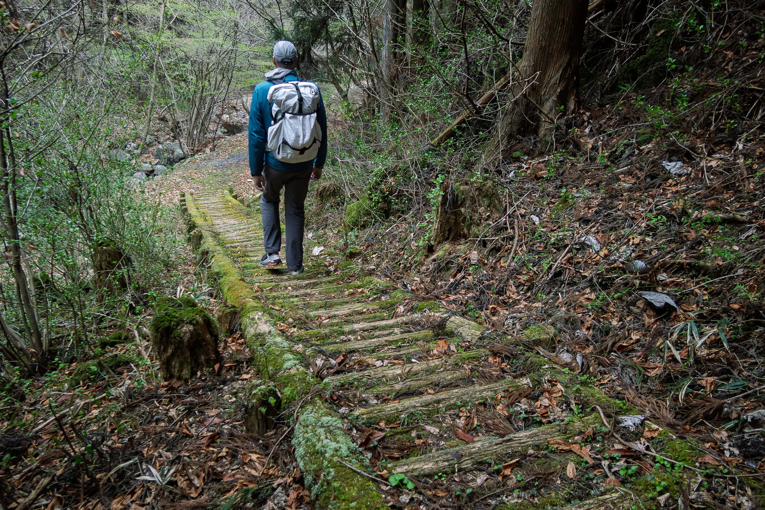
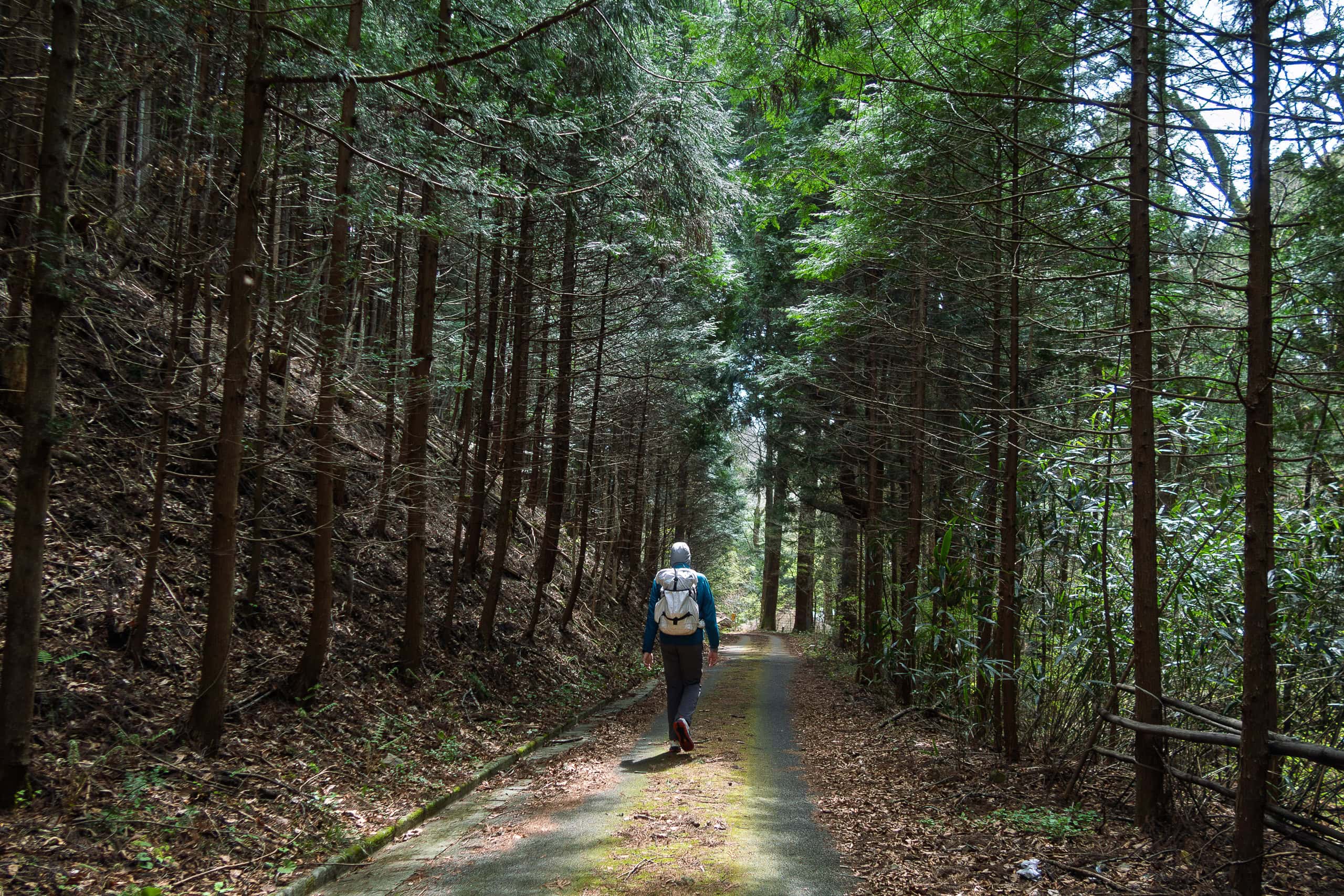

When the fields ended, the MCT route joined a two-lane road called Minamisanriku Green Road. As the name suggests, everything on both sides was green — wild plants and trees, nothing else. This road exists purely as a fast inland route, safely away from tsunami risk.
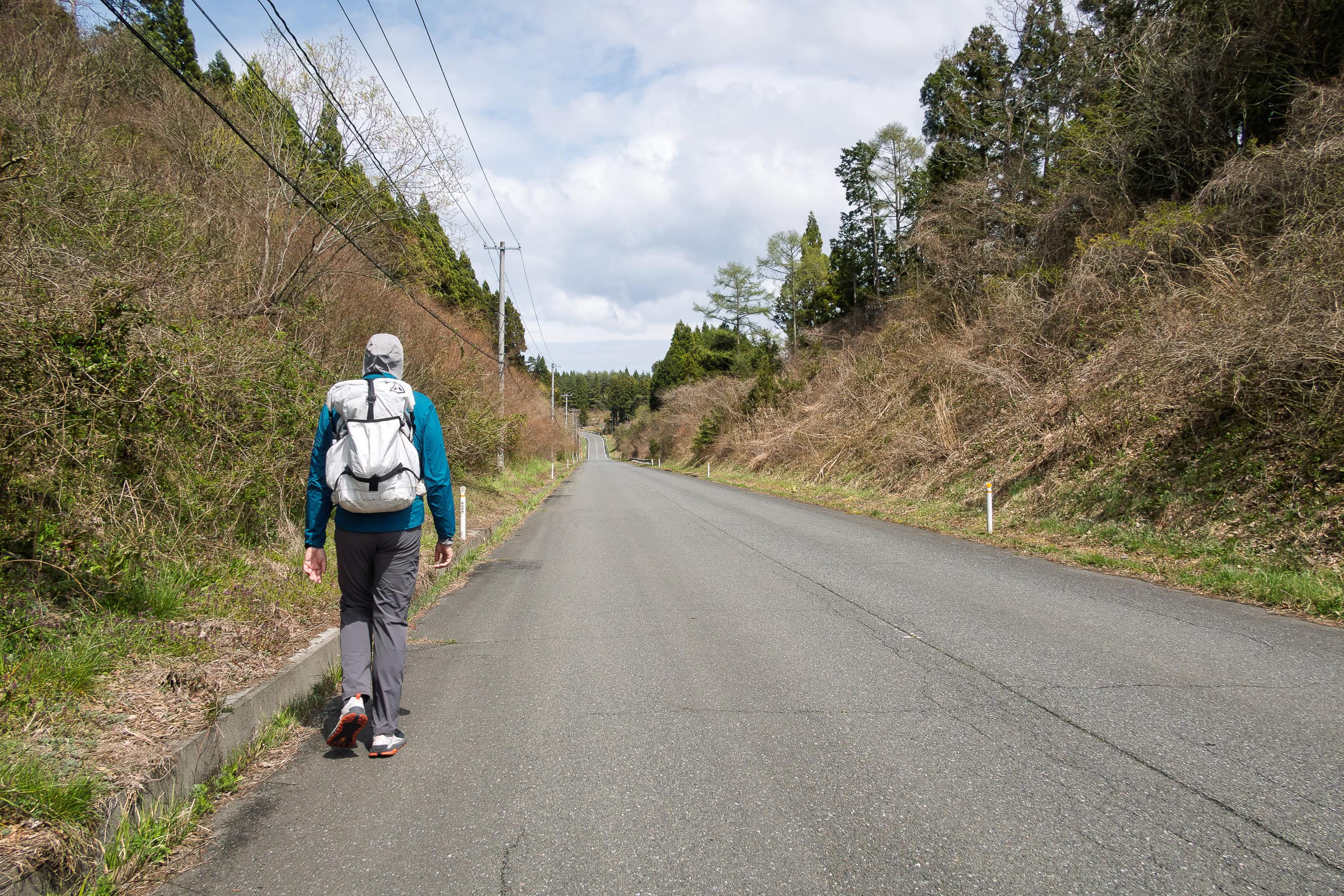
And here, I must inform you of a very critical fact:
We had not seen a single vending machine since YESTERDAY.
More precisely, since our last drinks at the vending machine near the police box by the lucky octopus shop and the octopus shrine.
After climbing the shrine forest hill, walking through the beautiful Iriya village, crossing two mountains in the morning — and now this entire stretch of highway — we still hadn’t encountered a single vending machine.
This was completely unexpected. Almost shocking.
Especially after two full days of vending-machine paradise.
Erik still had a couple of bottles of sports drink, and I happen to be the type of person who doesn’t need much water while hiking. The calm weather certainly helped us survive this situation too.
Still, we were starting to get nervous. How long was this vending-machine desert going to last?
We did have a water filter, so in an emergency we could use streams or wells. But what we truly missed were the short breaks — standing in front of a vending machine, choosing our favorite drink.
According to the map, we still had quite a distance to walk before reaching any residential area. As far as we could see ahead of us, there was nothing but an empty highway slicing through forest.
And then — just as we were about to give up hope:
“Wait… am I seeing what I think I’m seeing?”
For a moment, I couldn’t trust my eyes.
Far ahead, completely out of place, stood something white and box-shaped.
“Oh… wow…” Erik gasped.
It was a vending machine.
In the middle of nowhere, along this forest highway, we found a tiny local shipping company’s office with a small parking area.
And there it was.
A vending machine.
Y-E-S.
After nearly 20 kilometers of vending-machine desert, a miracle had happened.
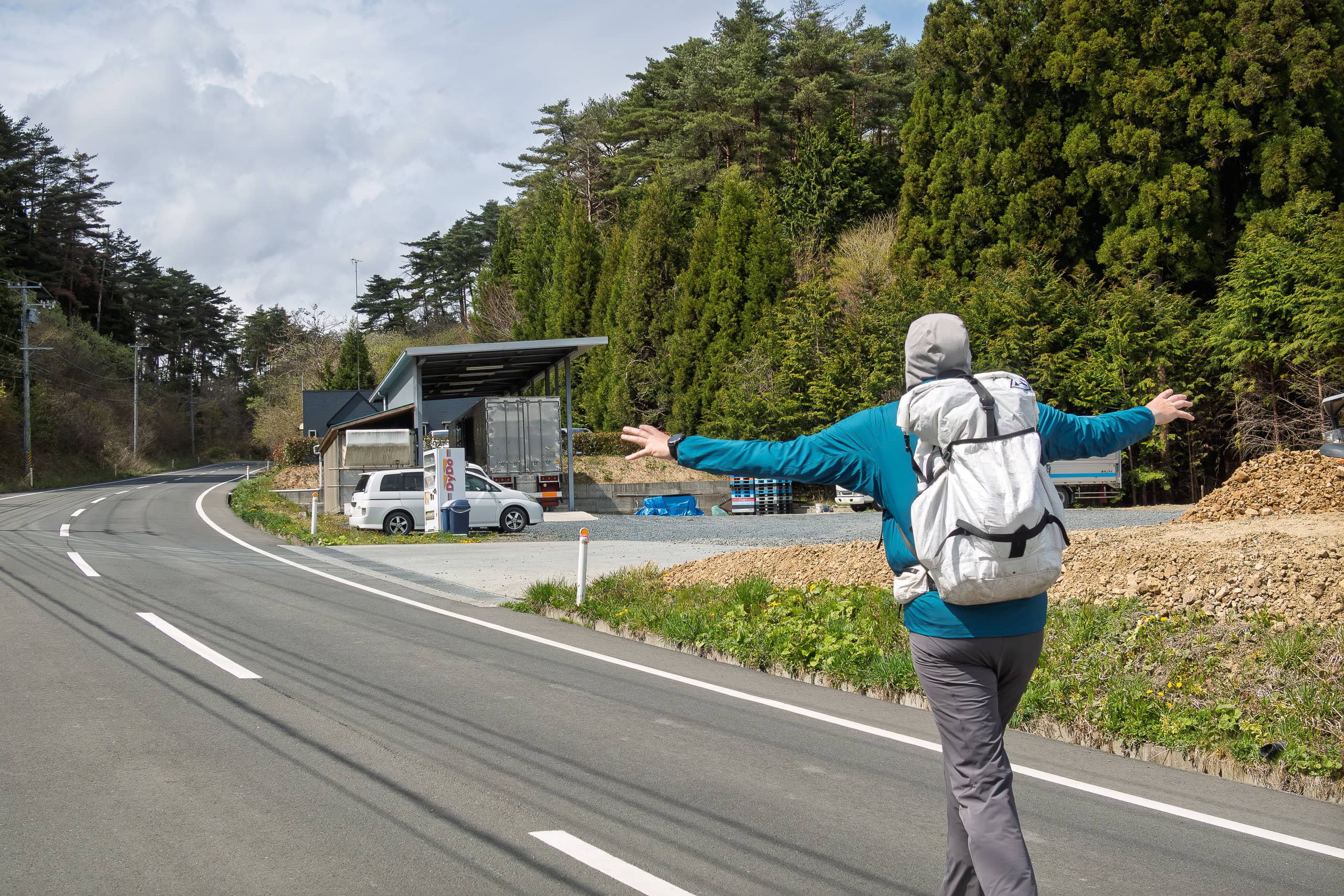
We were genuinely ecstatic — almost hugging the machine.
Two drinks each. First round.
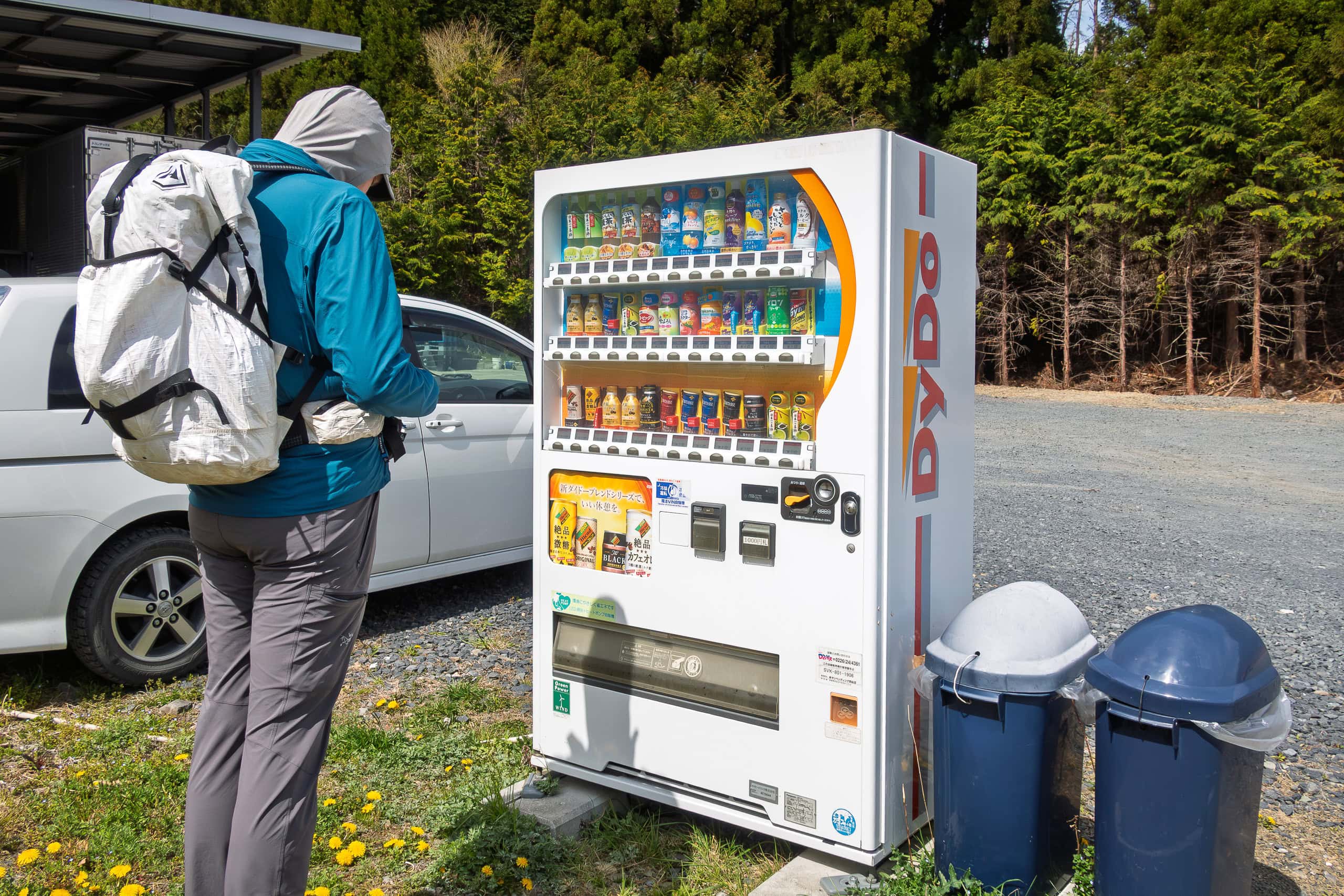
With extra bottles stuffed into our backpack pockets, we moved on past the office. A couple of people working inside didn’t even seem to notice our dramatic reunion with vending-machine drinks.
We saluted them — silently, in our minds.
Good job, people. Good job.
Thank you for placing a random vending machine here.
You saved us.
The Missing Station
We finally left Minamisanriku Green Road where it came closest to the ocean.
Somewhere along that stretch, we had already crossed into the next municipality, Kesennuma City — though I honestly couldn’t remember exactly where.
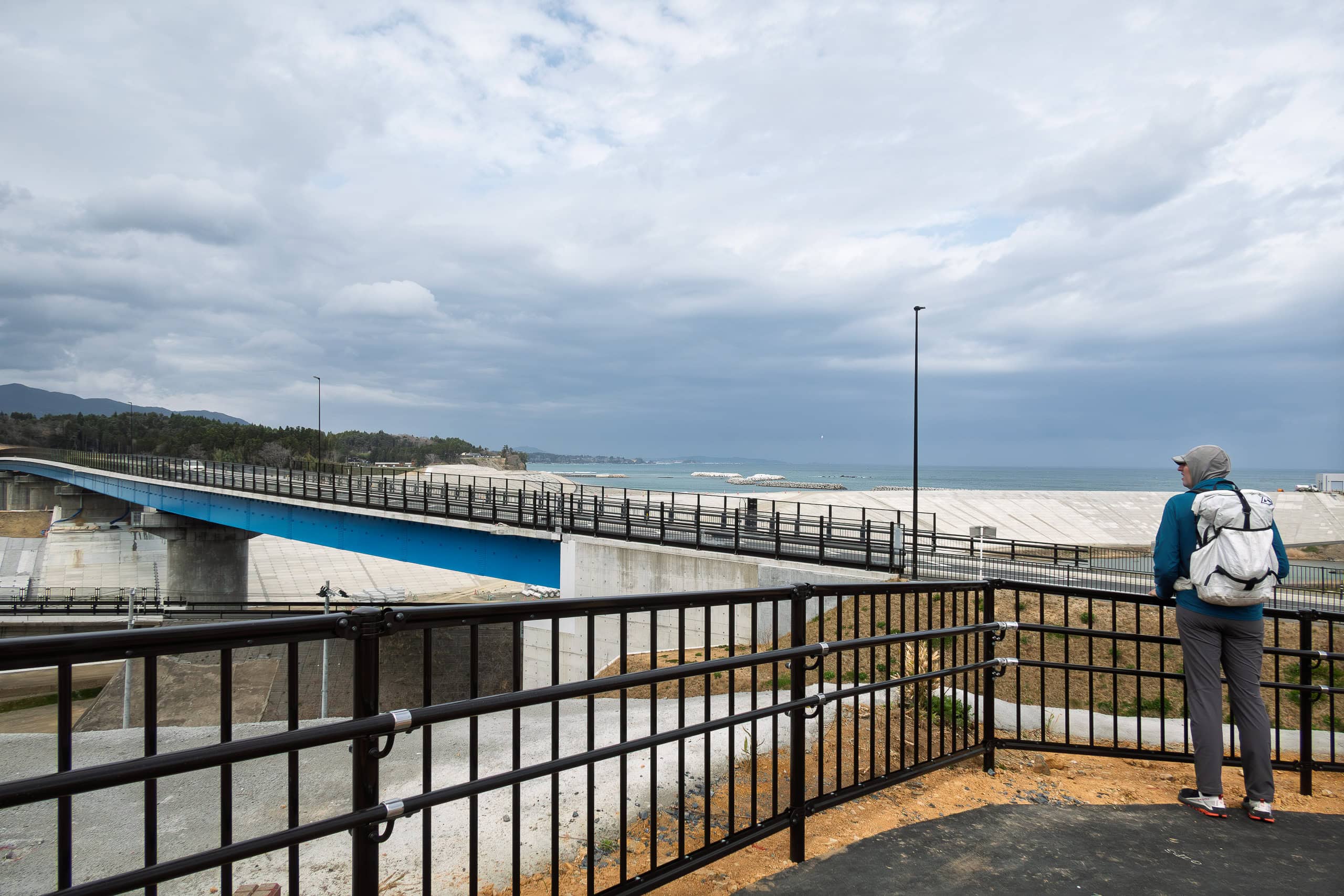
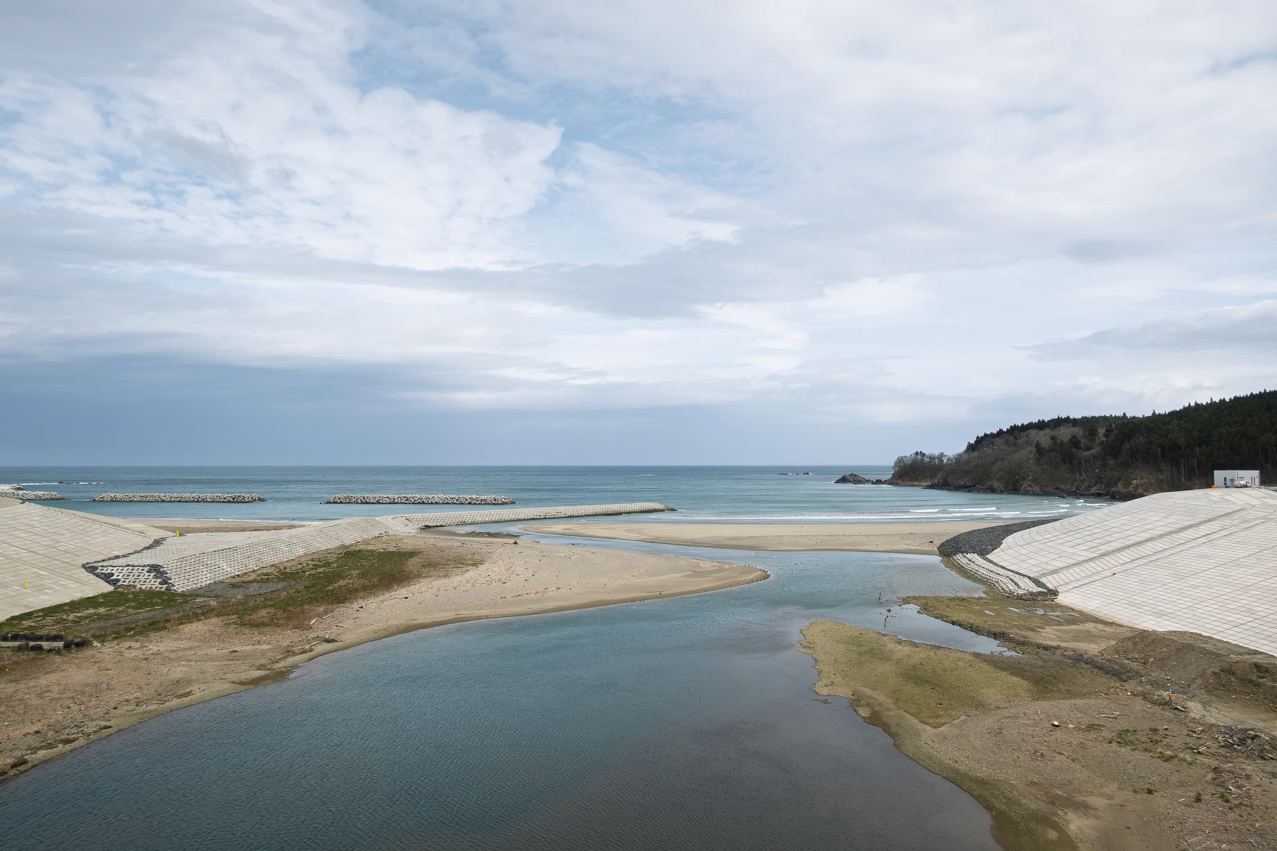
We crossed a newly built, wide bridge over a vast open area near the river mouth by Koizumi Swimming Beach. The land below was, of course, covered in construction sites (again).
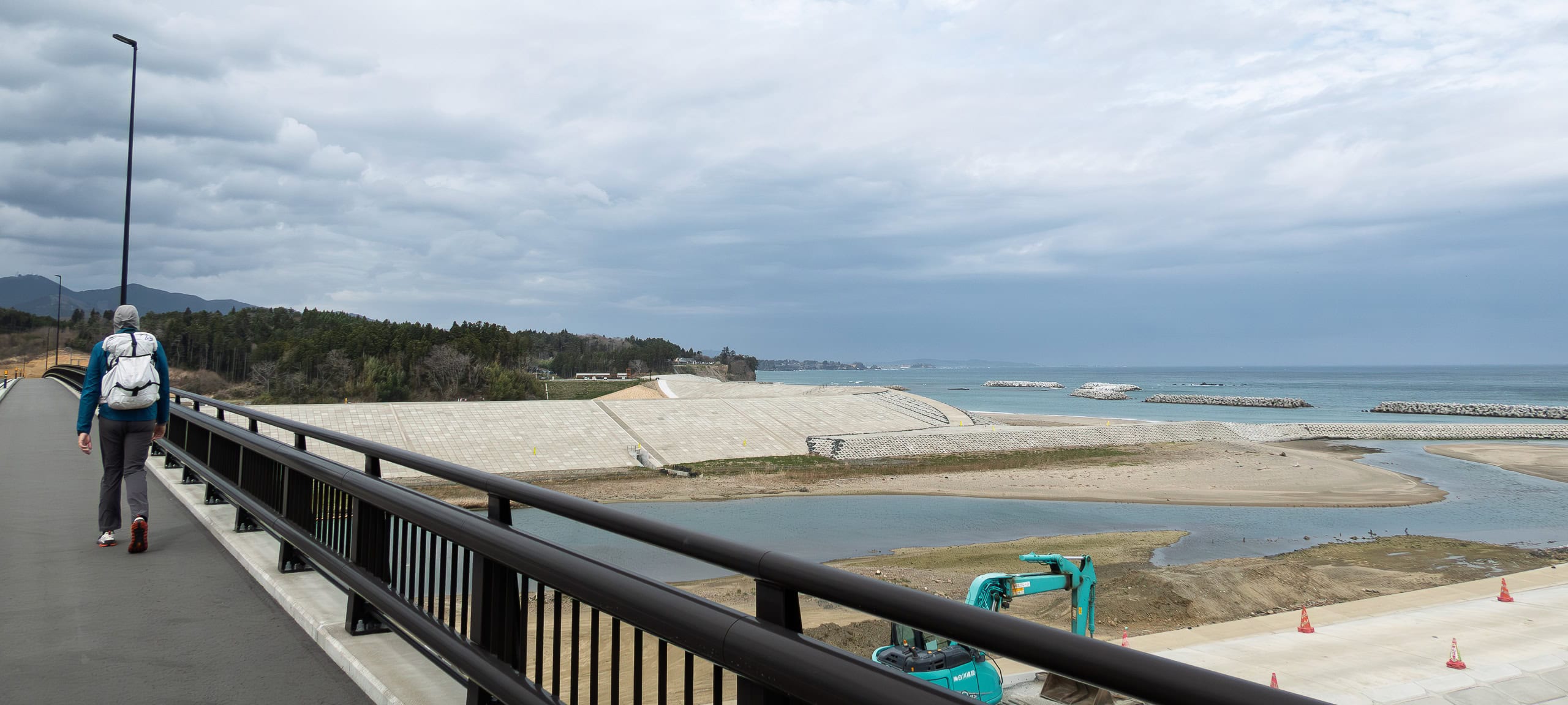
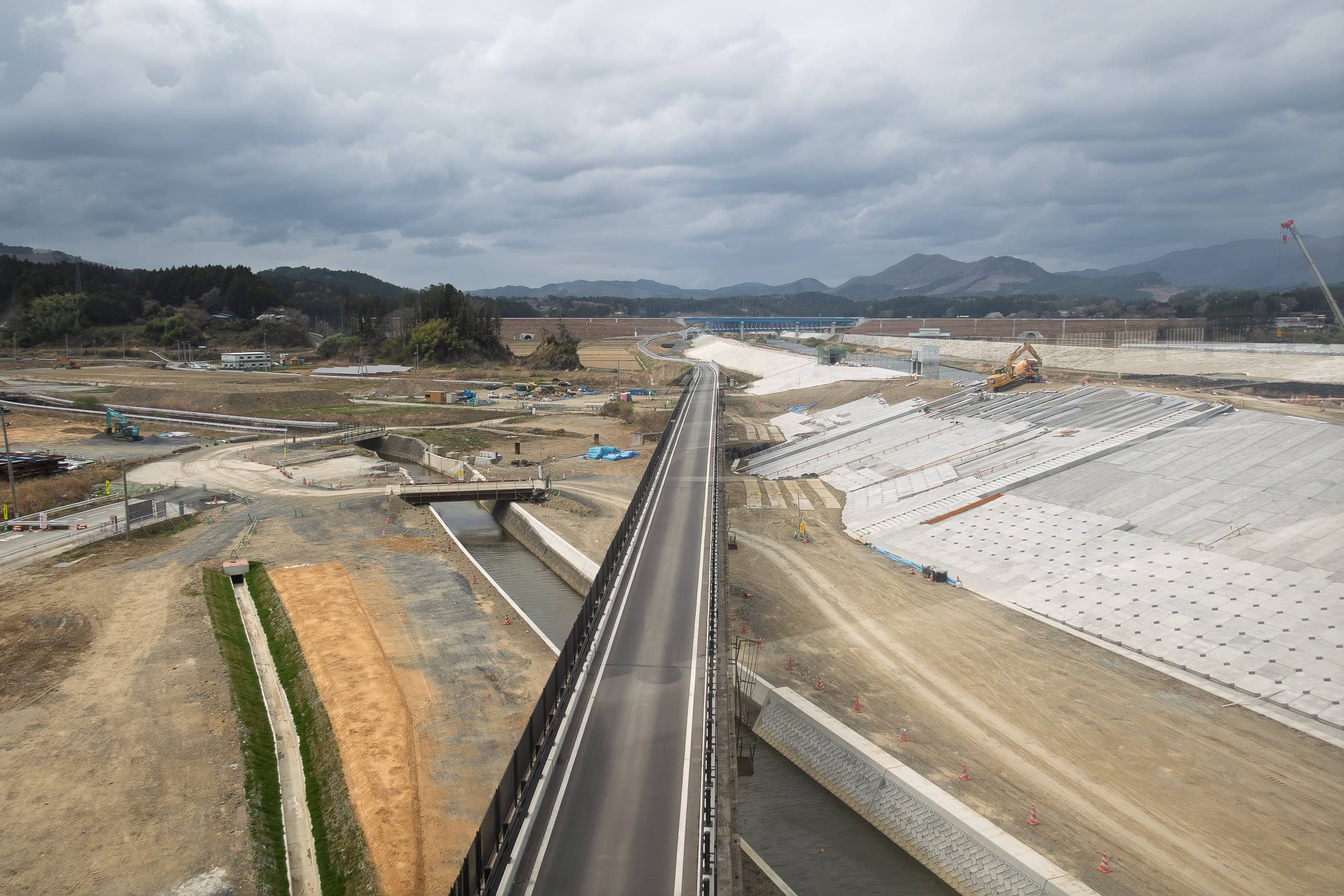
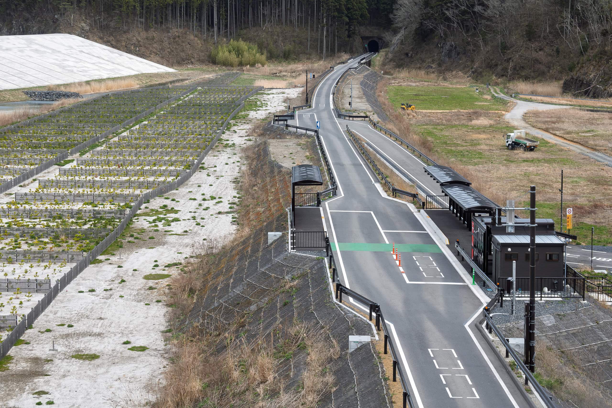
Right after the bridge, the MCT route didn’t continue straight along Route 45. Instead, it turned onto a town road running roughly parallel to the river.
We skirted the Motoyoshi Station area and eventually rejoined Route 45 — probably about three times longer than if we’d just stayed on Route 45.
The walk itself was completely ordinary — just another rural town stretch — so I didn’t even bother taking photos.
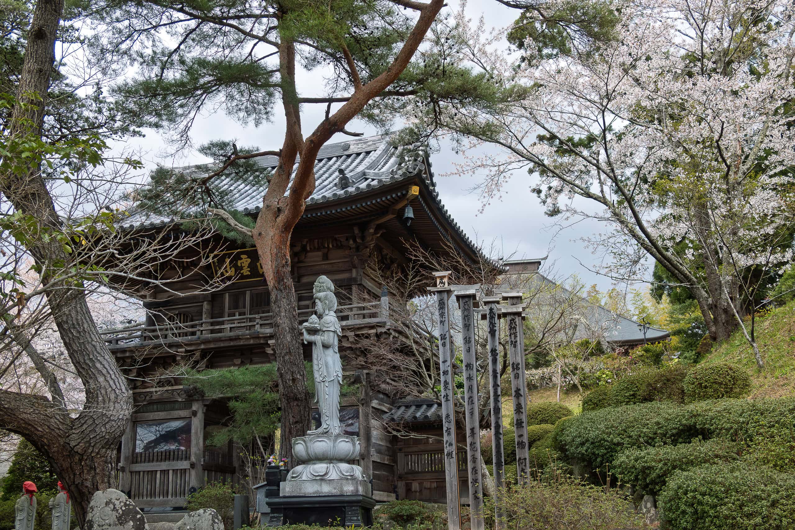
As we walked through this section, the rain finally arrived, right on schedule. It was still light, more like mist, so we kept walking without pulling our rain jackets out of our packs.
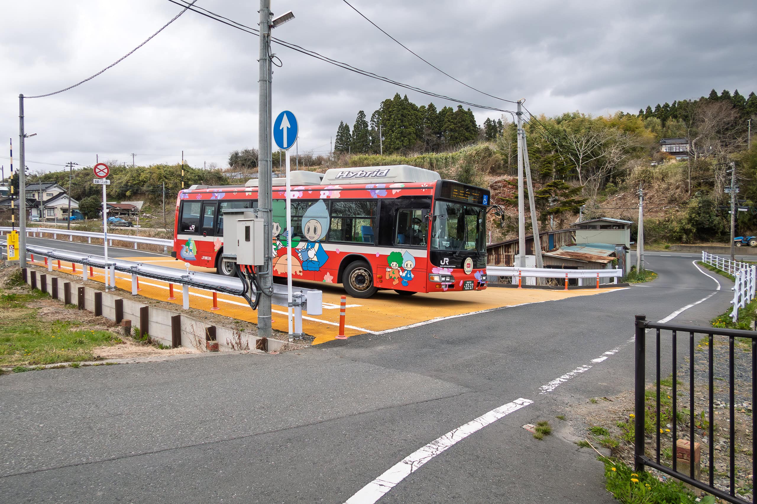
Our goal for today was the BRT Koganezawa Station, where we planned to catch the bus-train (I’ll explain what that means in Day 20) to reach our accommodation in downtown Kesennuma for the next two nights.
Once we were back on Route 45 along the coastline, the rain picked up. We quickened our pace, hoping to reach the shelter at the BRT station as soon as possible.
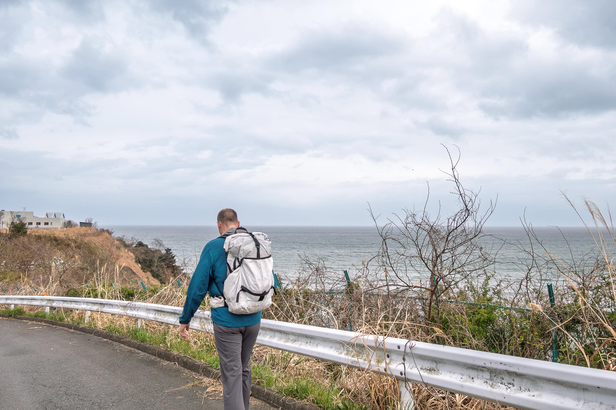
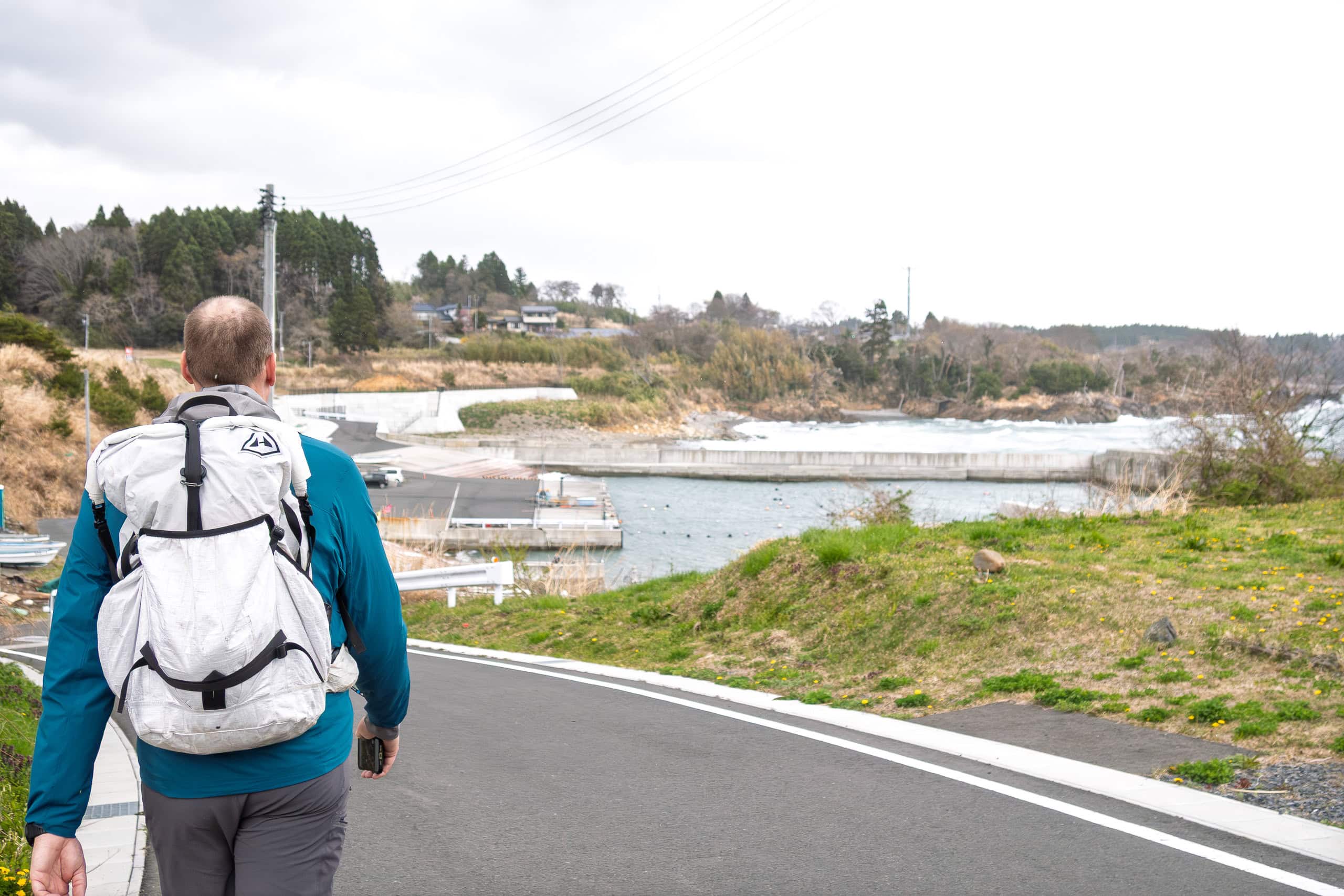
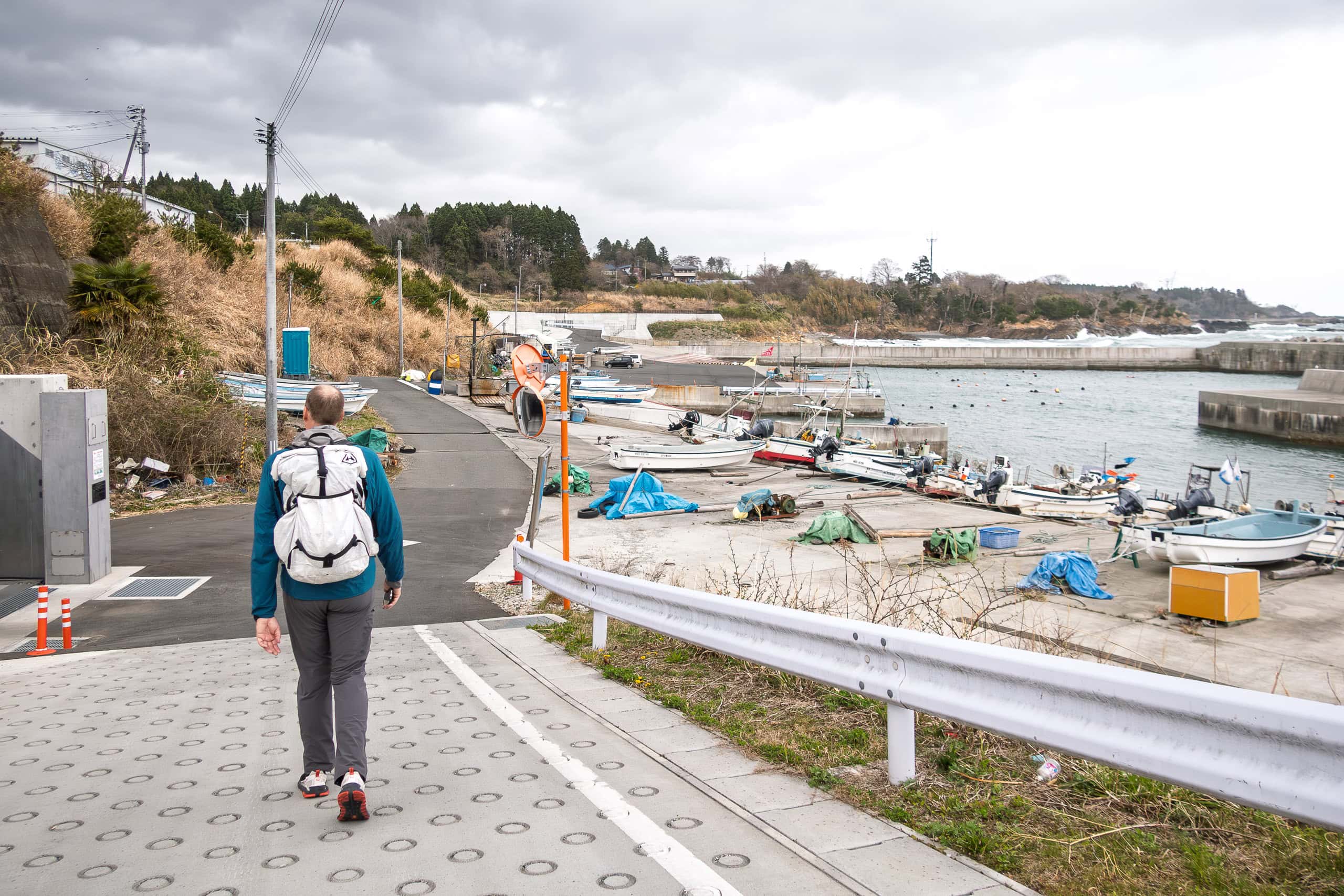
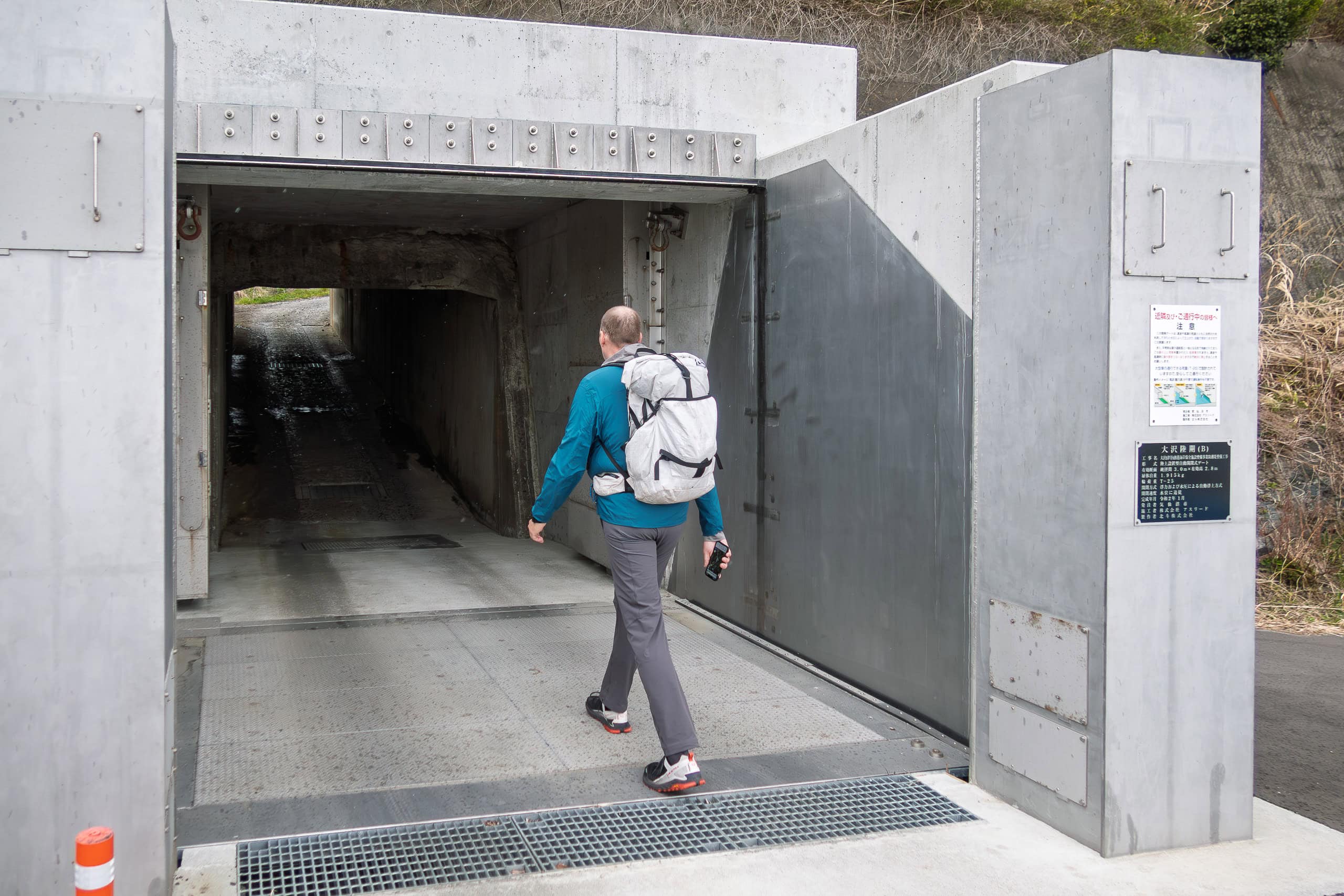
Just when we expected to see our goal, a roadside sign with the station name appeared.
The strange thing was — it pointed to the other side of the highway. According to Google Maps, the station should have been on our side. We decided to trust Google Maps.
Well. The station was not there. Nothing was there.
We walked back along the sidewalk in now-pouring rain. We should have trusted the official road sign, not stupid Google Maps…
Following the sign, we went down a narrow side road toward the seaside.
And again—nothing. Just a grassy, empty space.
It looked like the original site of the station before it was washed away ten years ago.
At this point, we were completely lost. When you can’t trust an official road sign or Google Maps, what are you supposed to do? All we could manage was muttering “unbelievable” while staring around in the increasingly heavy rain.
“Does this station even really exist?”
No locals were out walking in this weather. Only cars occasionally passed us on Route 45. The bus arrival time was approaching, and we had no choice.
We walked into the only shop we could see nearby. It sold cosmetics and women’s clothing. No customers or even shop staff were inside.
“Excuse me! Could we ask something?” I called toward the back room.
Immediately, an elderly woman’s voice replied, and almost at the same time, the shop owner came out — clearly surprised to see two hikers standing in her store.
I asked about Koganezawa BRT Station and explained that the location shown on Google Maps was empty.
“Oh yes, yes!” she said. “The station is a bit farther down this road. It was moved. Just walk a few hundred meters more.”
According to her, the spot indicated by the road sign was the original station location, before the railway and station were washed away by the tsunami.
So what about the place Google Maps showed us? That had been the first new location after reconstruction — but it turned out to be hard for drivers on Route 45 to notice. As a result, there were too many accidents in a short time.
“So they moved the station again,” she explained, smiling. “But good news — it has a nice new waiting shelter now. Very easy to see. Just keep going a bit farther.”
She was absolutely right. A few hundred meters down the road, there it was — BRT Koganezawa Station, clearly visible, safely placed at a wide intersection with traffic lights.
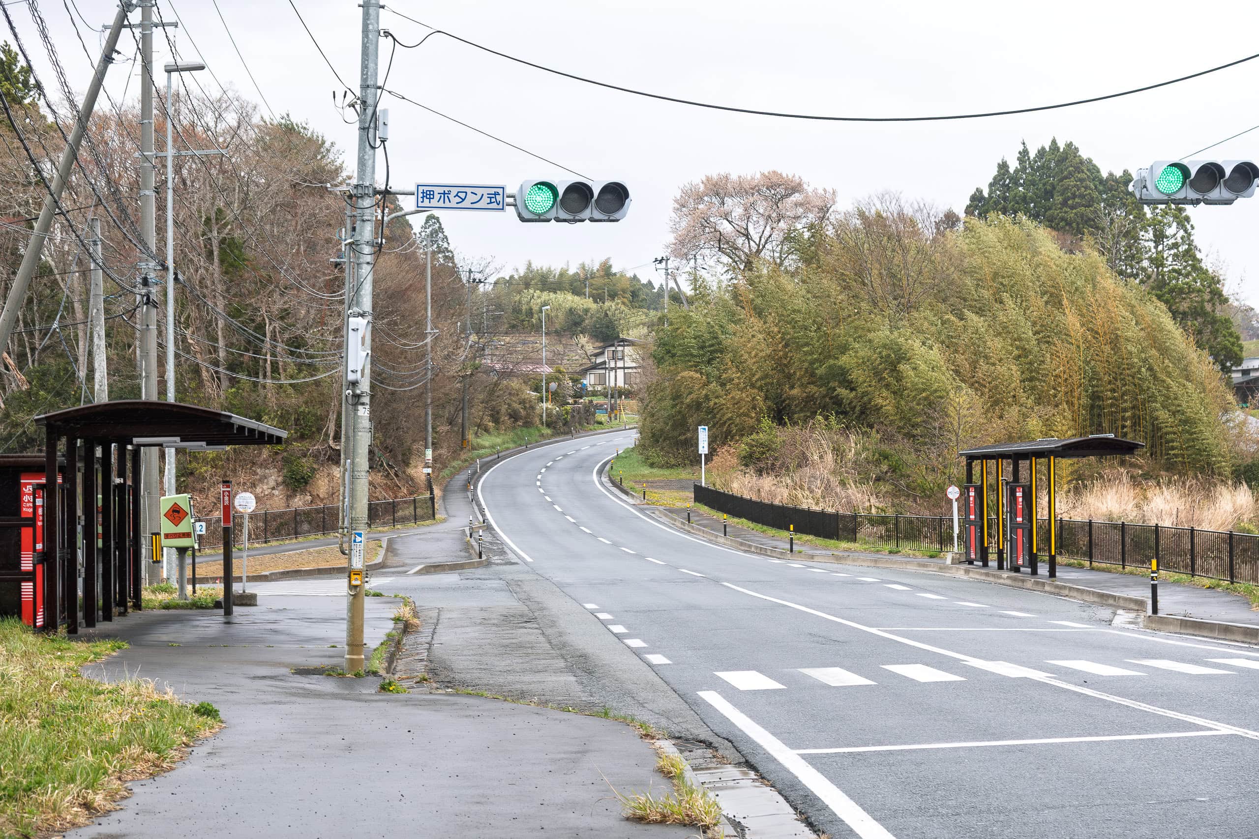
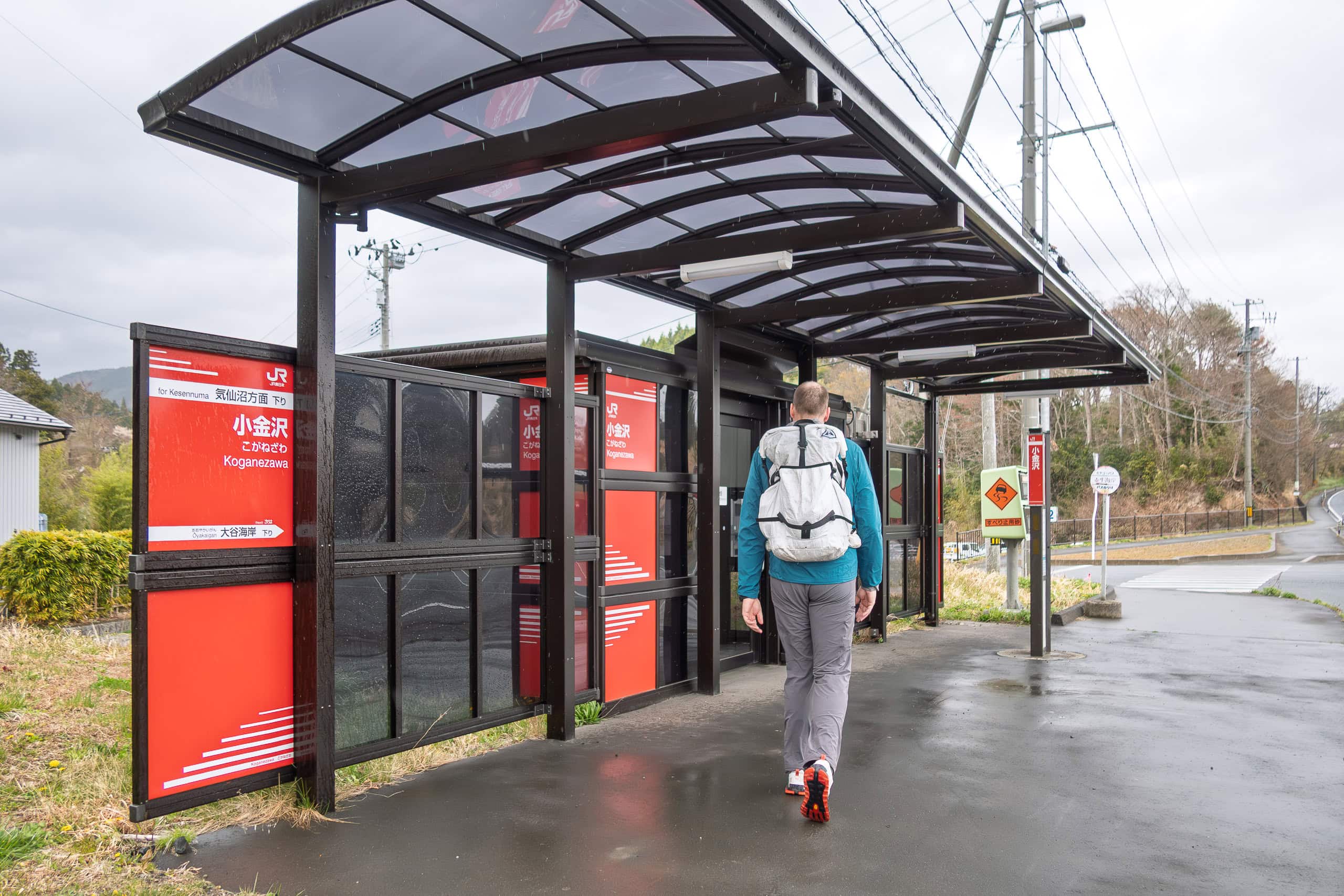
We had finally reached our goal for the day.
Tomorrow morning, we’d be back here again.
Bus Ride to Kesennuma
The bus-train arrived, and we got on.
At first, the car was fairly quiet. But after two stops — at a station right in front of a high school — everything changed. The bus suddenly filled up with students, packed so tightly that many more couldn’t board and had to wait for the next one.
Almost all of those students stayed on until we reached downtown Kesennuma. As soon as we arrived, the teenagers poured out of the bus and sprinted off toward other train platforms and bus stops to finish their commute home.
Since our inn for the night was right there, we stayed seated until the wave of hurried students had passed.
We had booked a room at a Japanese-style hotel on the southern edge of downtown Kesennuma for two nights. Because we needed to return to the same BRT station the next morning, this location made more sense than staying in the busiest part of the city center.
We had shipped our supply boxes here when we checked out of Hotel Kanyo two days earlier, and they were waiting for us at check-in.
The ryokan looked recently renovated or rebuilt, and our room was surprisingly nice — honestly, far better than we expected for the price.
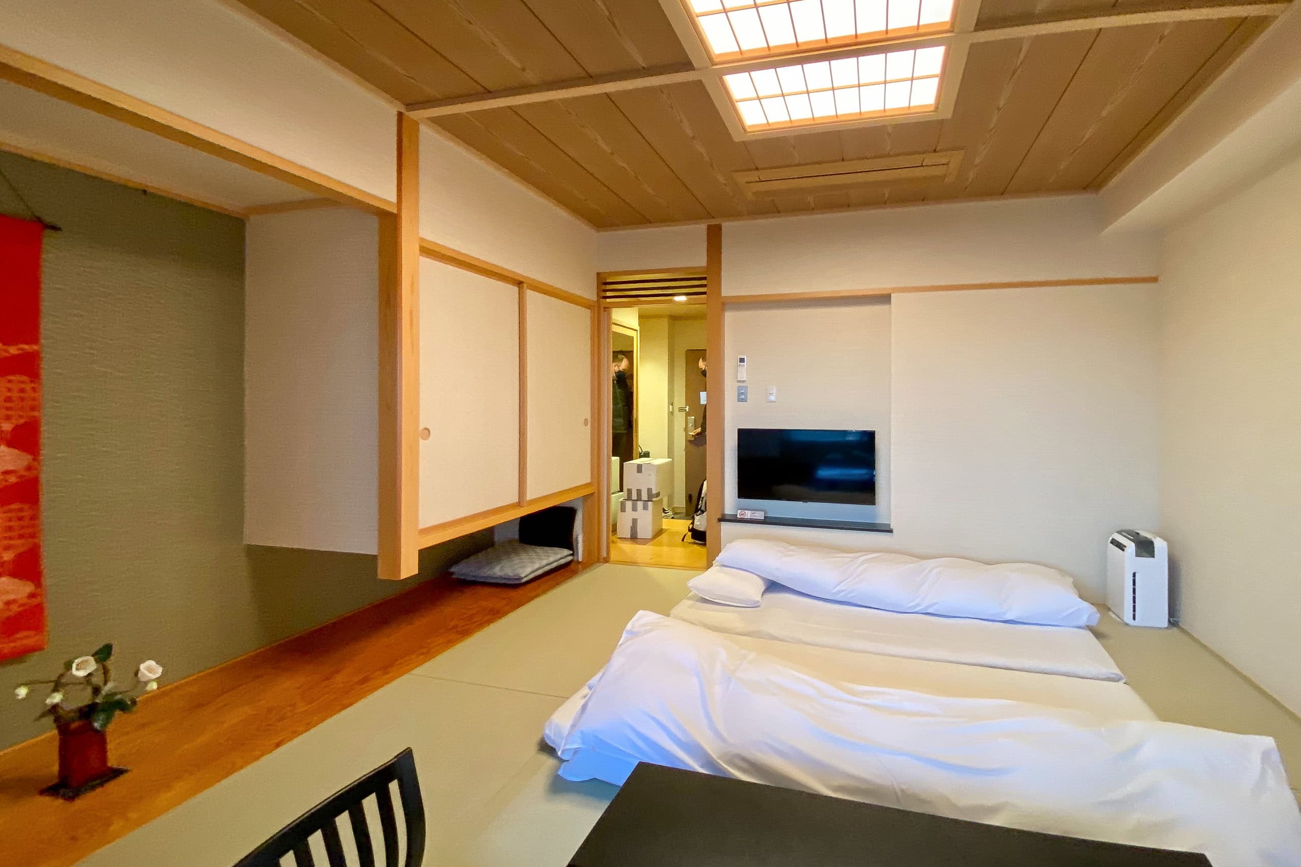
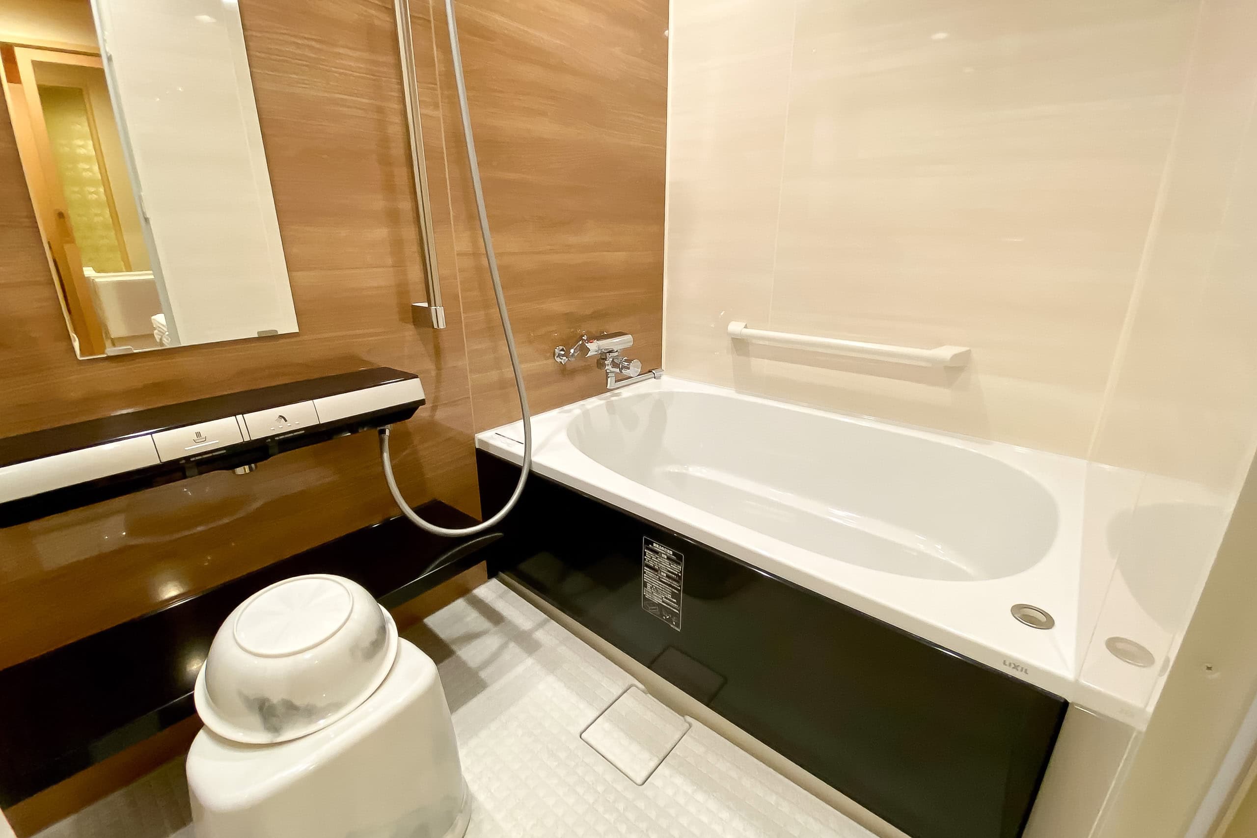
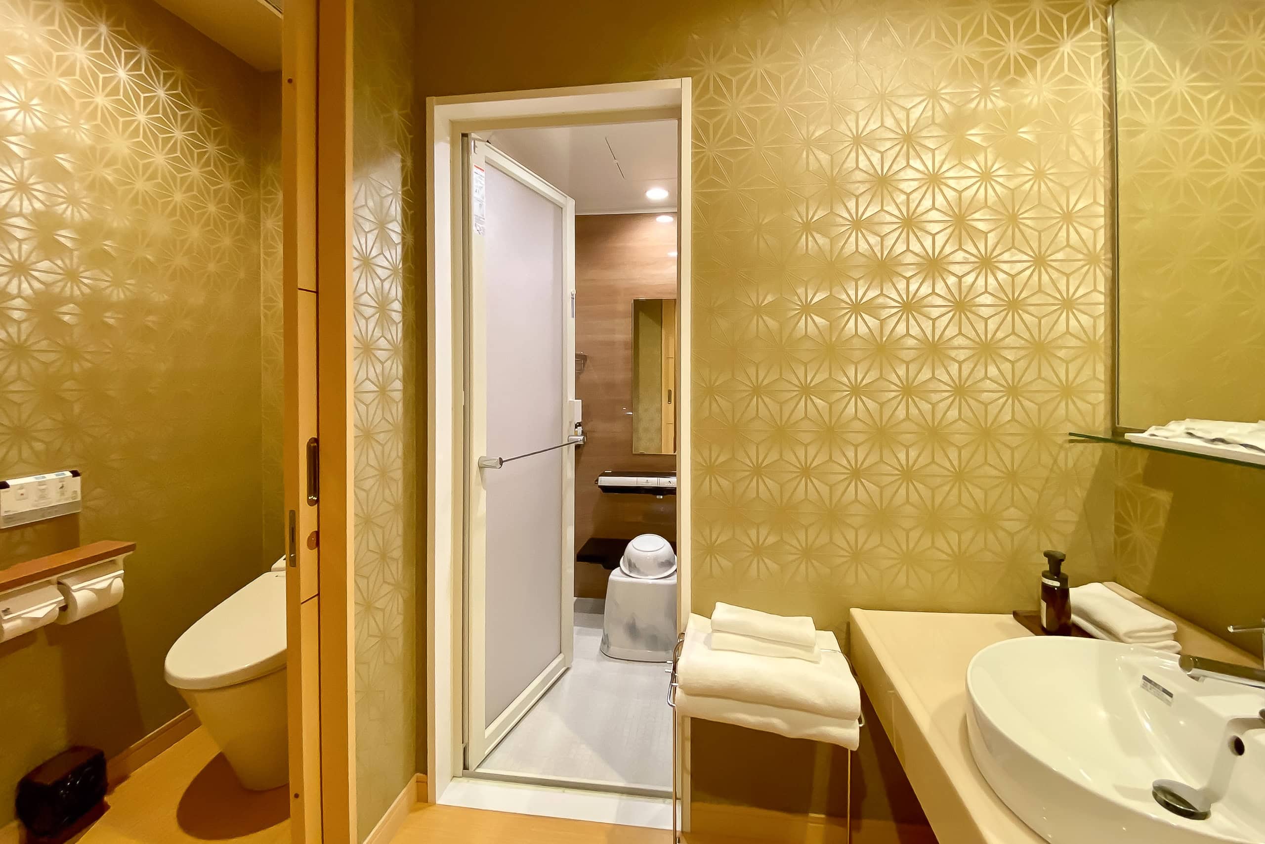
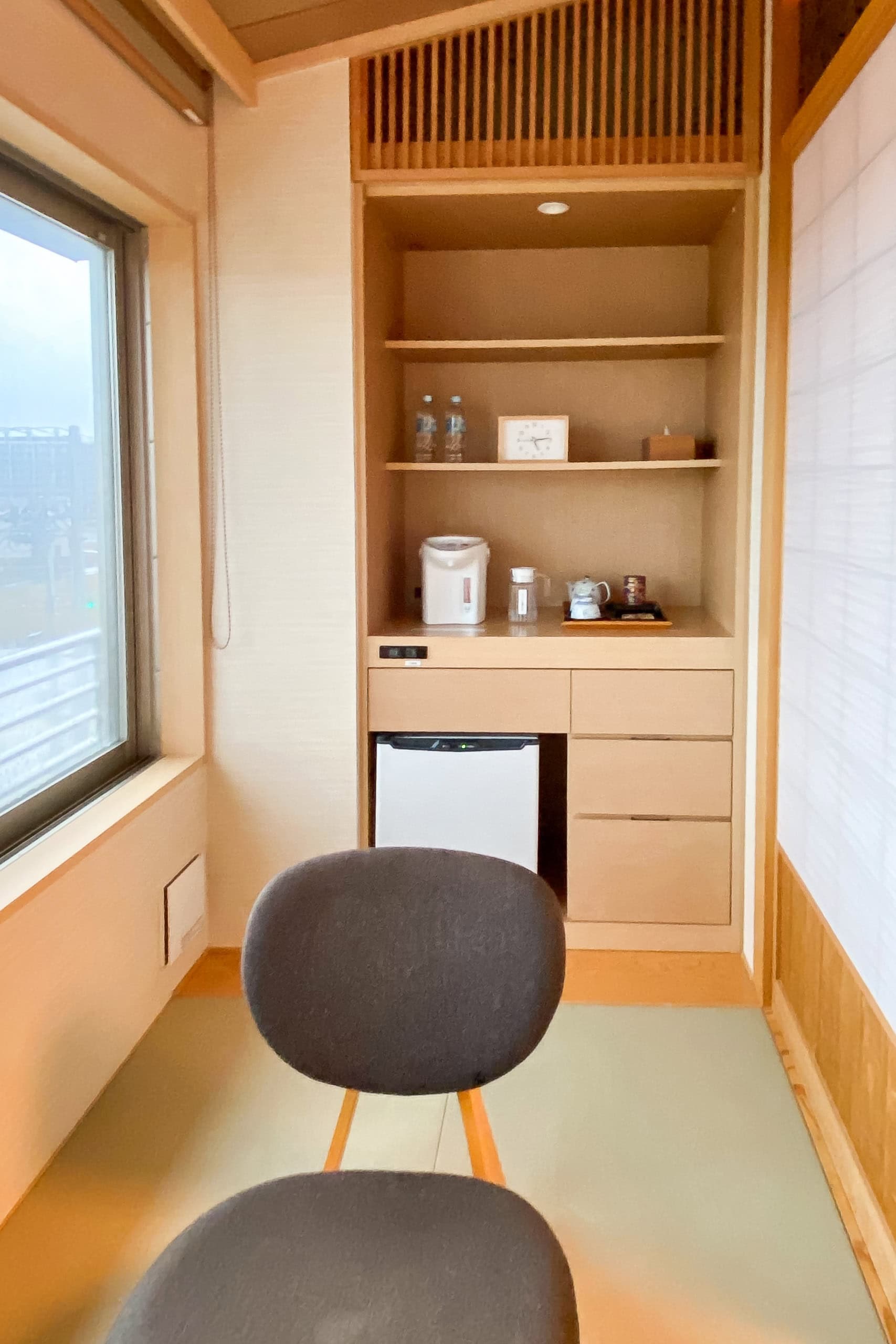
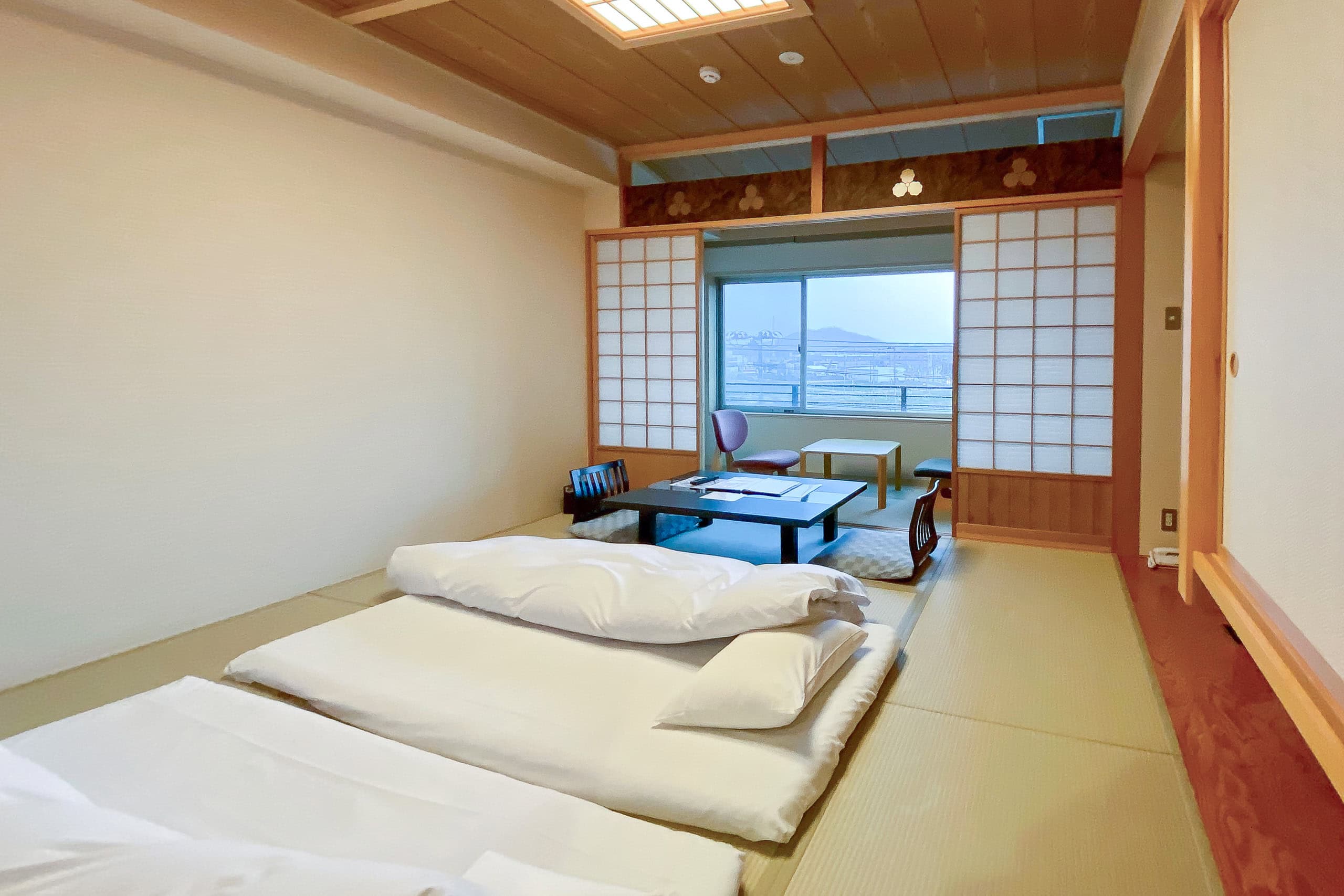
The only thing it lacked was a coin laundry. But we had already worked out a solution.
The nearest convenience store — where we planned to buy most of our meals during the stay — was just two blocks away, about a ten-minute stroll. And right behind that convenience store was a coin laundry.
How convenient is that?
We carried our dirty clothes over, loaded them into a large industrial-size washing machine, and then went straight back to the convenience store to shop for food.
Later, we returned to our comfortable room with freshly washed clothes, dinner, and nighttime snacks — and spent the rest of the evening relaxing.
Day 19 – MCT
| Start | Sansankan |
| Distance | 27.8 km |
| Elevation Gain/Loss | 757 m/817 m |
| Finish | BRT Koganezawa Sta. |
| Time | 8 h 9 m |
| Highest/Lowest Altitude | 465 m / 1 m |
Route Data


The Michinoku Coastal Trail Thur-hike: late March − mid-May 2021
- The first and most reliable information source about MCT is the official website
- For updates on detours, route changes, and trail closures on the MCT route
- Get the MCT Official Hiking Map Books
- Download the route GPS data provided by MCT Trail Club
- MCT hiking challengers/alumni registration