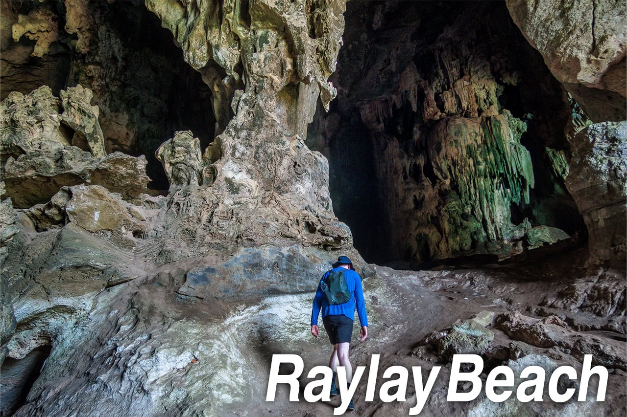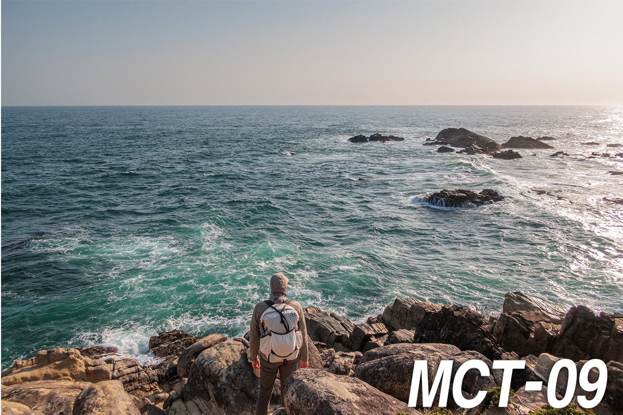

The Hardest Place to Reach on the MCT
Question: throughout the MCT, which section is the hardest to reach?
Without a doubt, Kinkasan 金華山 — the last of the three island sections.
For us it was not only the hardest to access but also the most expensive, and it demanded the most careful pre-planning.
True to its name, the island is essentially a freestanding mountain rising sharply out of the sea.
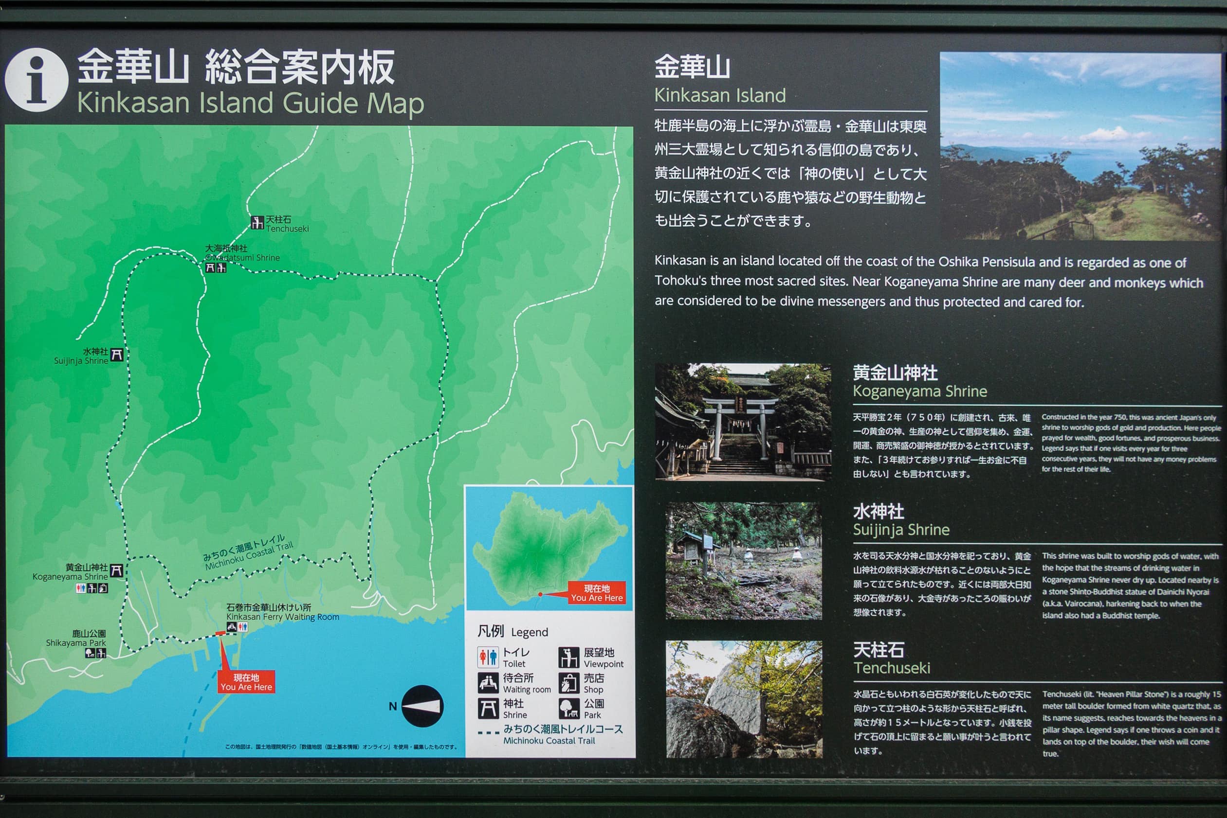
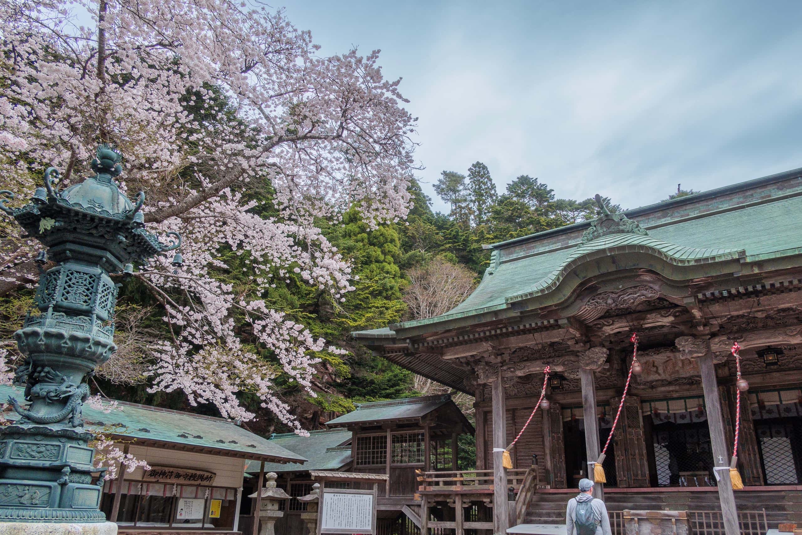
Kinkasan is counted among the three most sacred mountains in Tohoku. There is nothing on the island except Koganeyama Jinja 黄金山神社, a shrine with more than 1,270 years of history.
“Kinkasan” means “Mountain of Golden Flowers,” and Koganeyama Jinja translates as “Golden Mountain Shrine.”
People traditionally believe that visiting the shrine once a year for three consecutive years will ensure a life free from financial hardship.
Kinkasan Logistics: Ferries, Sea Taxis, and Sticker Shock
Kinkasan has long been a popular Tohoku destination — even without the MCT.
However.
Today the regular ferry runs ONLY ONCE A WEEK, and only on Sundays.
— ouch.
And to rub salt in the wound, it makes one round trip per day.
When I first discovered this, my reaction was instant: “WTF were they thinking!?”
By “they,” I mean whoever decided to draw a long-distance thru-hiking route through an island that is reachable by public ferry only once a week.
We actually got lucky: our planned Kinkasan day happened to land on a Sunday without carefully tweaking all the previous day-by-day distances. Otherwise…wait until next Sunday? Seriously?
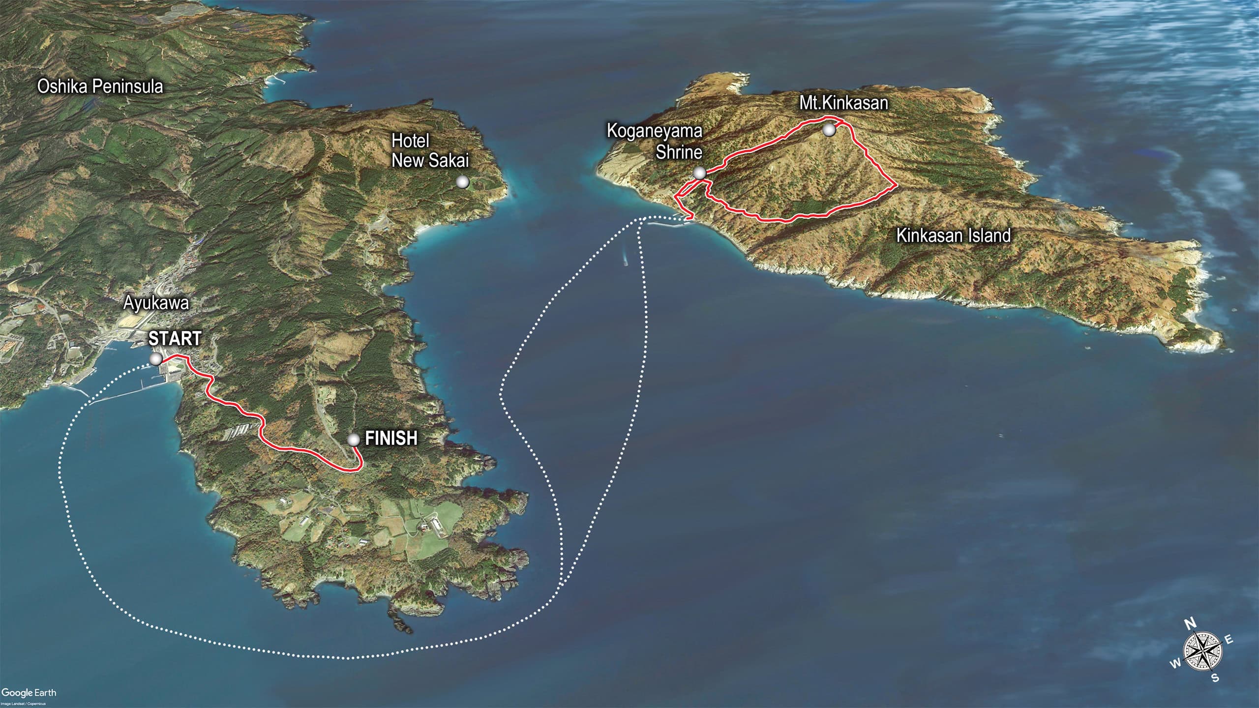
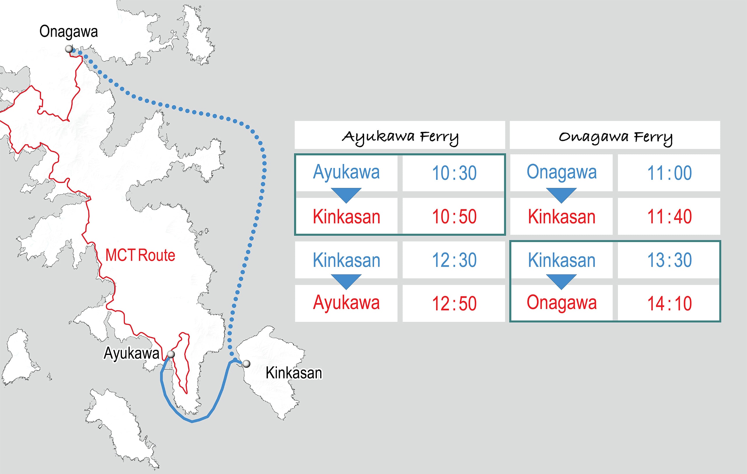
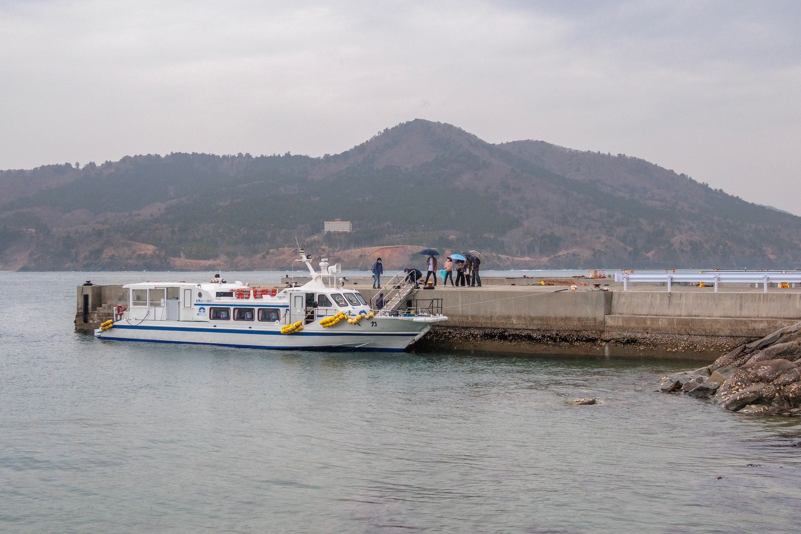
Fortunately, Onagawa 女川 — another fishery port town — also runs a ferry to Kinkasan. It’s still one round trip, still only Sundays, but from Ayukawa to Onagawa is two to three hiking days.
On MCT Map Vol. 8 it may look like Ayukawa is the only access, but for northbound hikers who hit Ayukawa Monday–Friday, you can keep moving and catch the Sunday ferry from Onagawa instead. In other words, you don’t have to sit in Ayukawa for a week.
However.
The Ayukawa ferry stays on the island 1 hour 40 minutes.
The Onagawa ferry stays 1 hour 50 minutes.
For shrine visitors, 100 minutes is plenty: walk up, look around, greet the sacred deer, and head back.
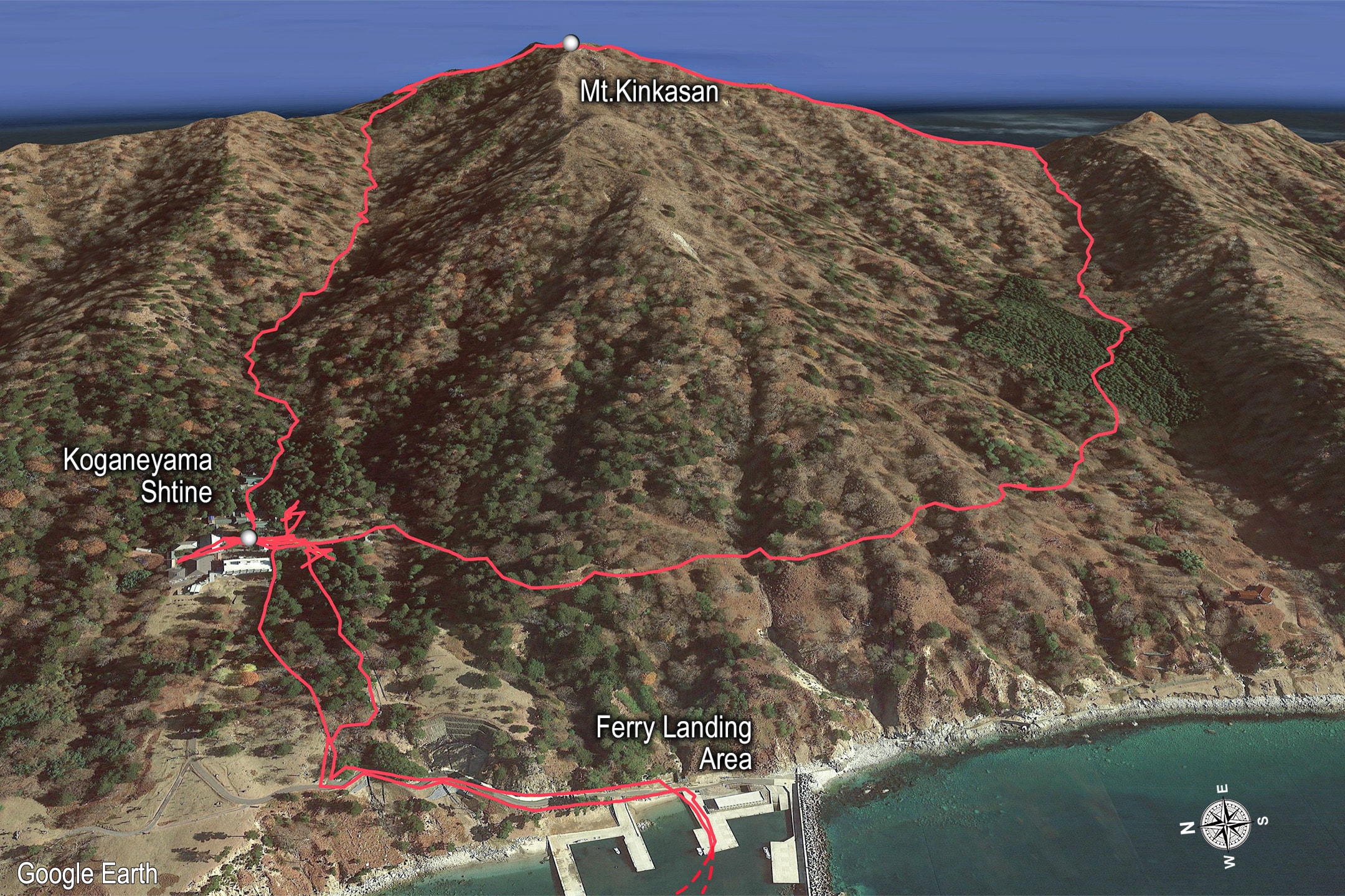
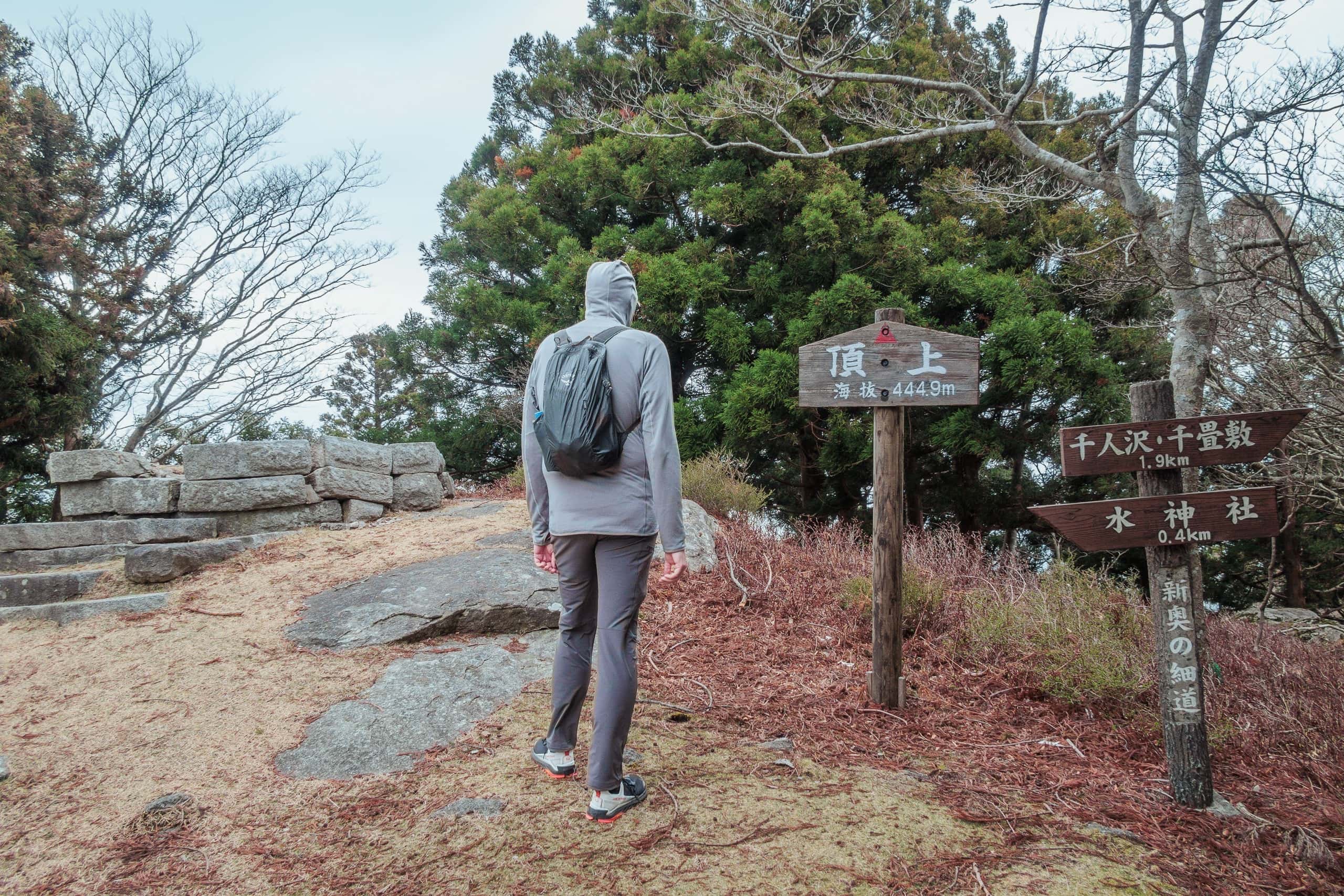
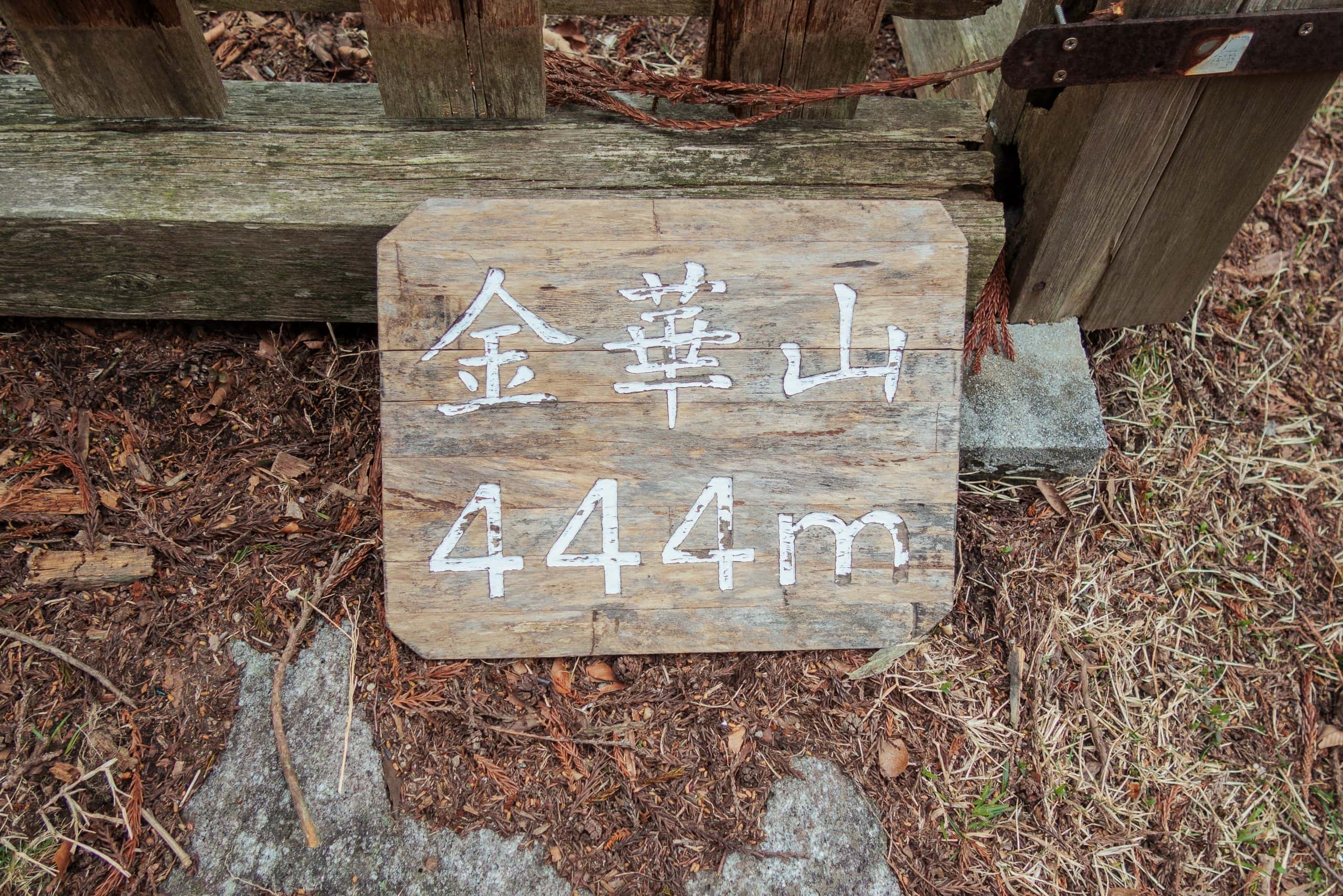
But the MCT route on Kinkasan is almost 6 km, with a steep ridge climb to 444 m and a descent on another ridge.
A fast trail runner could probably squeak it in. We cannot. Most MCT hikers probably cannot. And honestly, who wants to sprint up and down without visiting the shrine, taking in the views, and — yes — hanging out with deer?
If you lose the 100-minute game, you’re stuck on the island — with deer and a few monkeys — until next Sunday.
Sounds scary, doesn’t it?
Well… there is accommodation at the shrine: about ¥10,000 per person including two meals and the morning fire-prayer ceremony. So survival isn’t the issue.
The question is: do you want to pay ¥20,000 × seven nights?
Later we learned some hikers — especially section hikers using weekends/holidays — stretch their island time by mixing ferries: Ayukawa → Kinkasan in the morning, Kinkasan → Onagawa in the afternoon.
That nets roughly one extra hour on the island.
But even with 2 hours and 40 minutes listed on the Kinkasan trail’s distance-and-elevation chart, it still didn’t sound like enough time for us to feel confident.
More importantly, if we took the mixed-ferry option, we’d still need to return all the way to Ayukawa to avoid skipping the section between the two port towns.
As of July 2023, based on the Sunday train and bus schedule:
| 1. | Onagawa port | 14:10 | Walk | Onagawa station | 14:20 |
| 2. | Onagawa station | 14:55 / 16:33 | Train | Watanoha Station | 15:09 / 16:47 (¥ 210) |
| 3. | Watanoha station | 17:50 | Bus | Ayukawa port | 18:40 (¥ 1210) |
The MCT route in this section mostly follows the same road the bus takes back. So, if you don’t mind retracing your steps the next day, returning to Ayukawa from Onagawa on the same evening is entirely possible — and even practical.
Is the Sunday ferry really the only way to reach or leave Kinkasan?
Actually, no.
For the other six days of the week — and for those who need more time than the Sunday schedule allows — sea taxis are available by reservation. These small boats carry up to 13 passengers and can take you to Kinkasan any day and time of the year.
At first glance, the fare chart looks promising: ¥3,000 round trip, while the Sunday ferry costs ¥2,500. For just ¥500 more, you could have the entire day to hike the sacred mountain island.
Problem solved, right?
However.
Read the fine print — always. That attractive ¥3,000 fare applies only when five or more passengers share the boat.
So what can solo or pair MCT hikers like us do?
- Try our luck and hope other travelers want to visit the island the same day so we can share a ride.
- Charter a sea taxi privately for ¥15,000.
During regular times or in peak season, option 1 might work. But in early April 2021, still during COVID restrictions, relying on miracle-level luck wasn’t realistic.
After scouring the internet, we had to accept the obvious: if we wanted to enjoy Kinkasan without sprinting, we’d have to charter a sea taxi. We told ourselves that ¥15,000 total for two people — in exchange for a full day on the island — wasn’t so bad.
HOWEVER.
On the phone, I was stunned. The ¥15,000 charter applies only when your primary purpose is the shrine — i.e., the same short stay as the Sunday ferry passengers — while the boat waits at the landing.
If you need longer hours (like we did), the sea taxi doesn’t wait. It returns to Ayukawa and then comes back to pick you up.
Meaning: two trips.
Meaning: double the fee.
— Y.E.S. We paid ¥30,000 to charter a sea taxi.
Thirty thousand yen to reach Kinkasan for an MCT hike.
I don’t know if this double-charge has always been standard around Kinkasan, or if — like many in tourism during COVID — they were struggling.
They sounded genuinely apologetic. We decided to bite the bullet and support the local economy during an exceptionally hard time.
No wonder quite a few MCT thru-hikers we’ve met told us they walked the entire route except this part.
Visiting Kinkasan Koganeyama Shrine
Ferry/Sea Taxi from AYUKAWA Port
Ferry/Sea Taxi from ONAGAWA
Update
In 2023, the ferry companies resumed the seasonal increase of ferry operations from July to September.
They run ferries on most Saturdays, and on the days the Kinkasan Shrine holds special events — pre-booking is required. For the details and increased ferry calendar, check their websites.
Our Thoughts — and Doubts — on Kinkasan
Throughout all this planning — and even now — I still think it was a ridiculous idea to include Kinkasan in the MCT route. It’s so hard to reach and demands so much time, money, and coordination from hikers. I sincerely hope that if the Ministry of the Environment revises the trail after the reconstruction work, they will omit this section. Many parts of the MCT have already been rerouted or blocked by new seawalls and roads.
We had booked the sea taxi shortly after starting our walk from the MCT’s southern trailhead in Soma, Fukushima. But of course, final confirmation had to wait until the night before our planned travel day, when we could see whether the weather would allow us to board. The perfect conditions during our Tashirojima and Ajishima hikes made me confident the sea would be calm the next day as well.
Oddly enough, though, the forecast kept predicting rain and wind from late afternoon onward. Our original plan was to stay on Kinkasan until 4 p.m., exploring the island even after completing the MCT section to make the most of that precious ¥30,000.
When the sea taxi company called for final confirmation, we were relieved to hear we wouldn’t need to reschedule. But the staff advised us to leave the island as early as possible before the high waves arrived, and we agreed. Kinkasan’s upper slopes looked rocky and completely exposed — definitely not where you’d want to be in heavy rain and wind.
cross the sea to the last Island
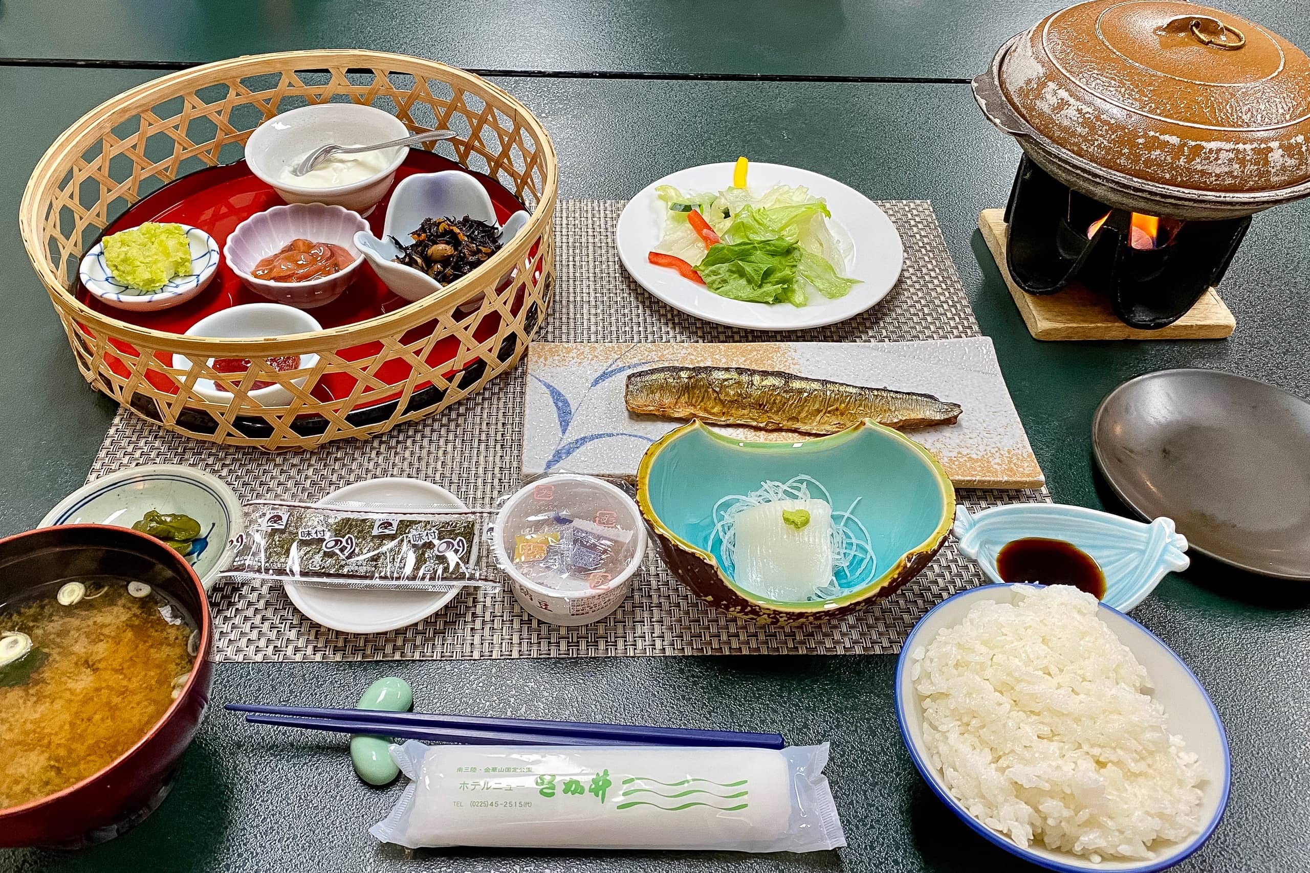
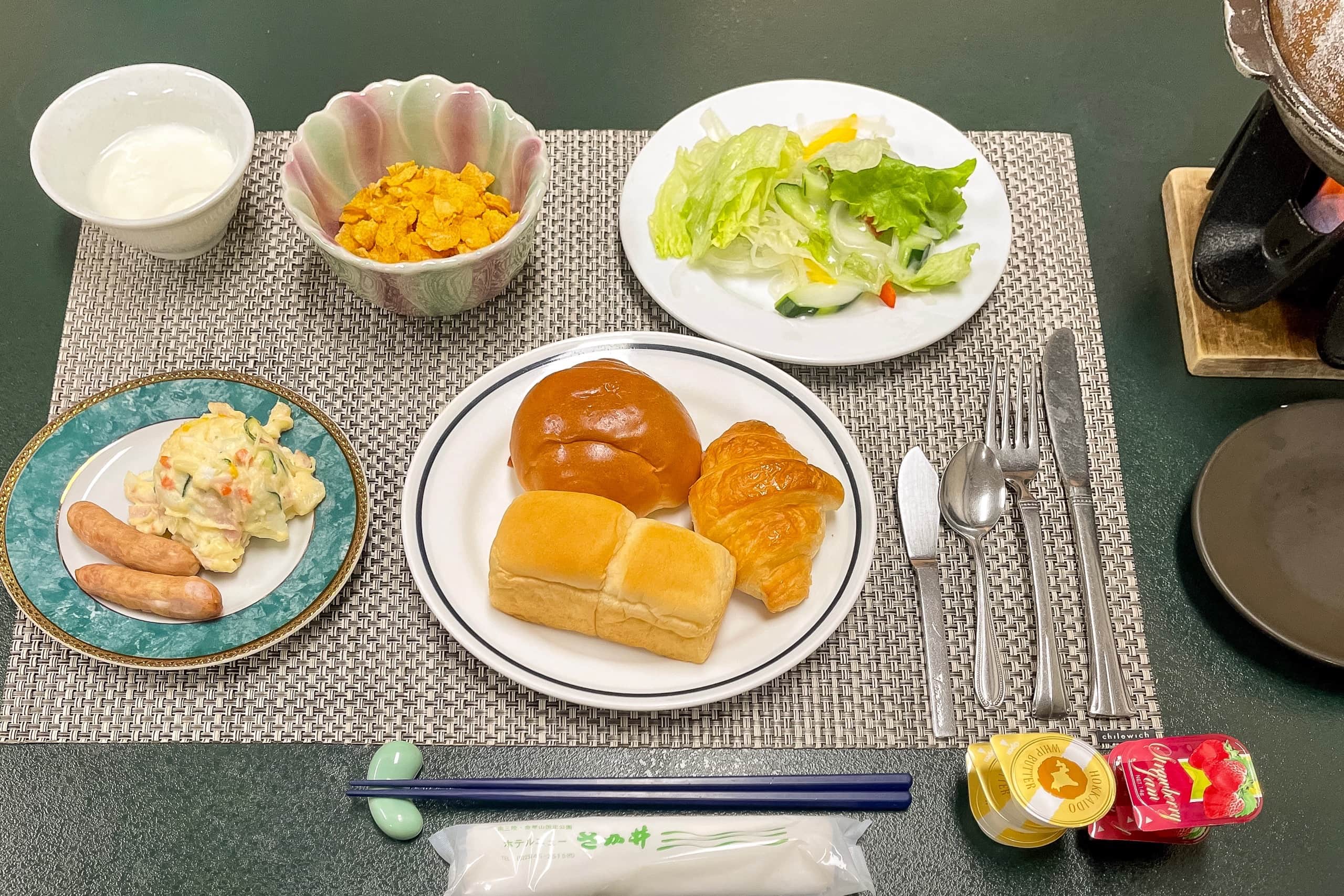
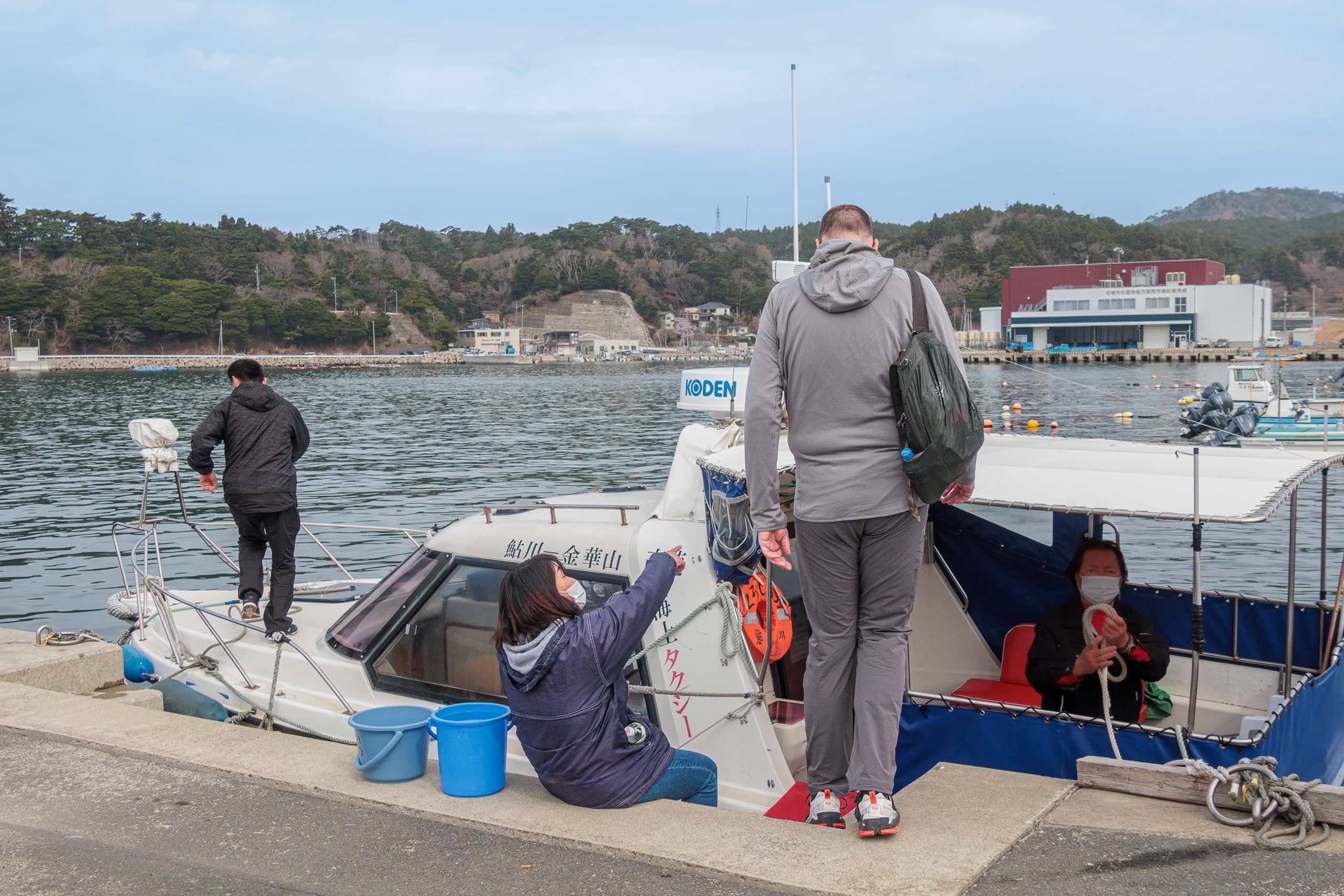
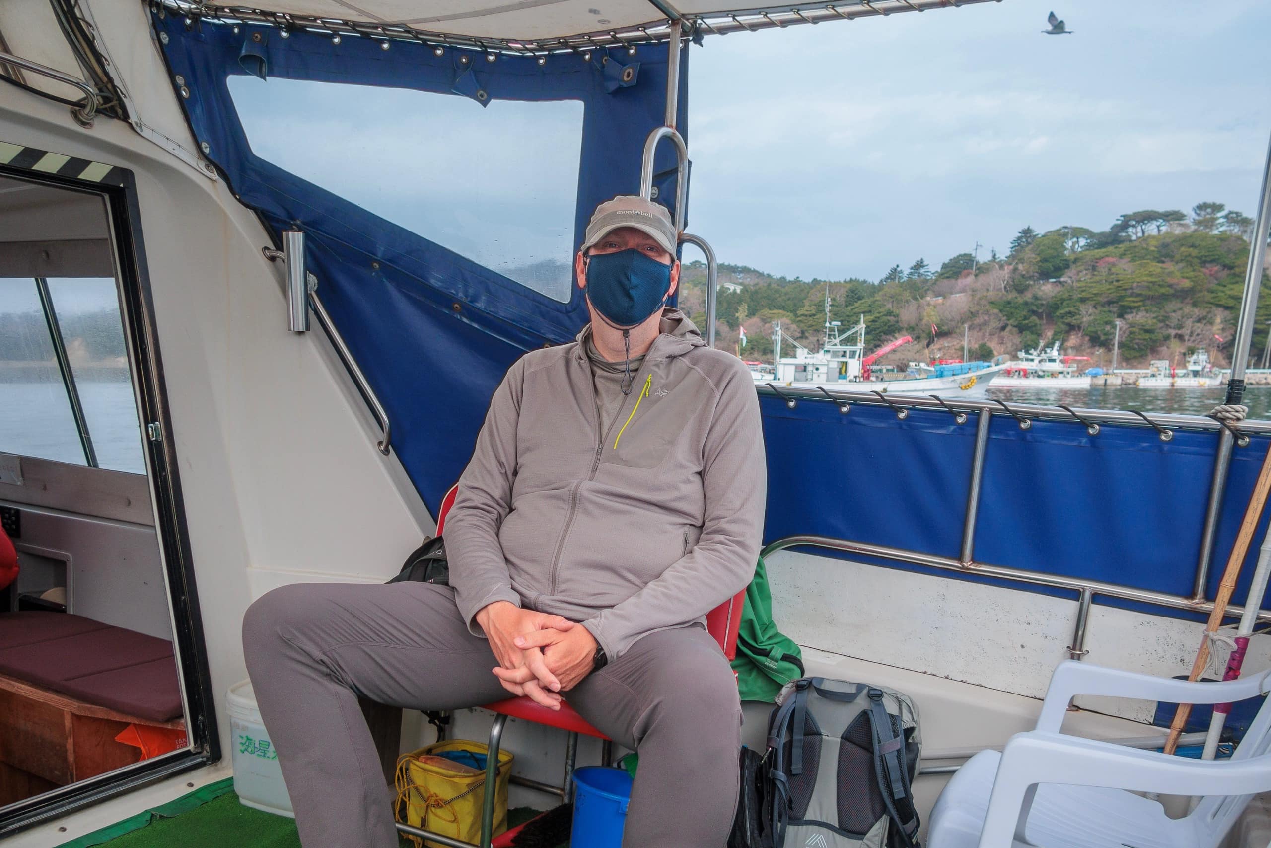
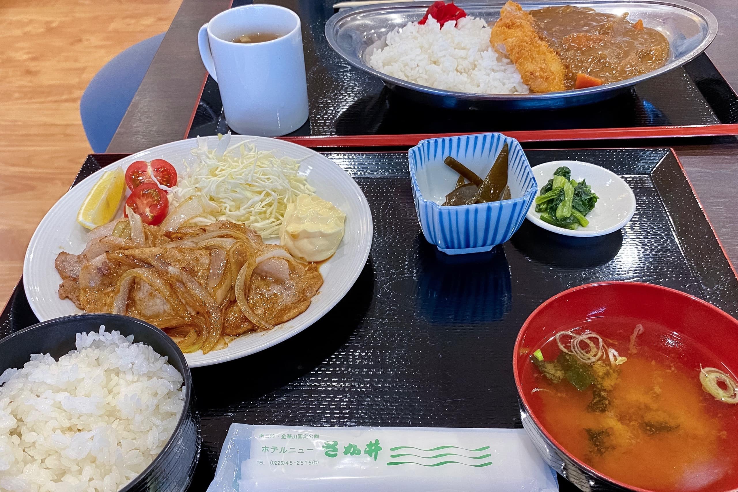
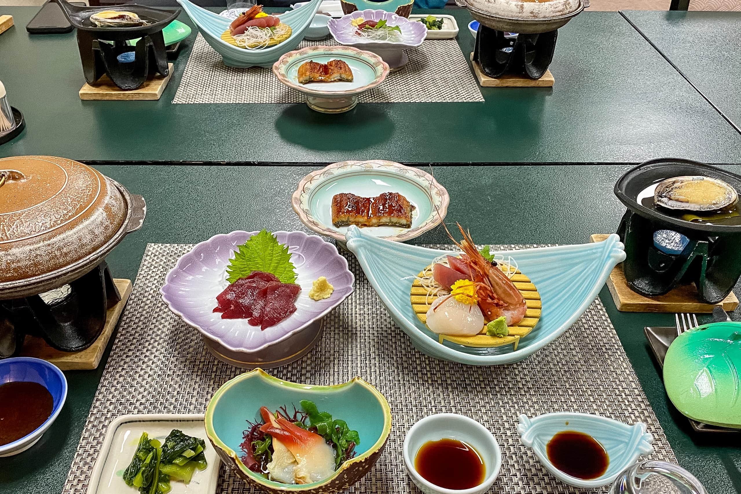
Because our hotel was far from Ayukawa’s port and town center, we had booked a twin room with two meals included. After a lovely breakfast — Western style for Erik and Japanese style for me — the hotel’s free shuttle took us to the port for our 9 a.m. sea taxi.
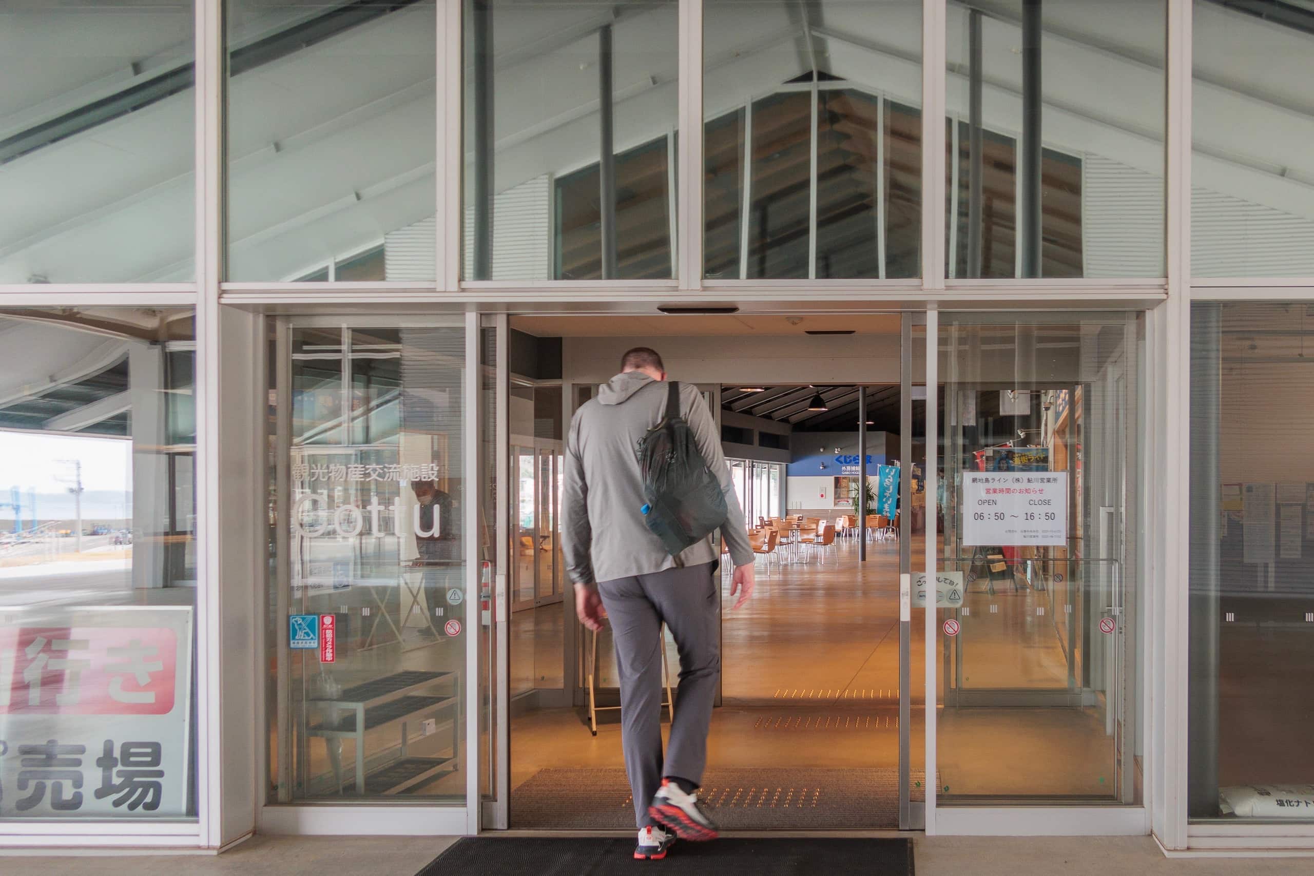
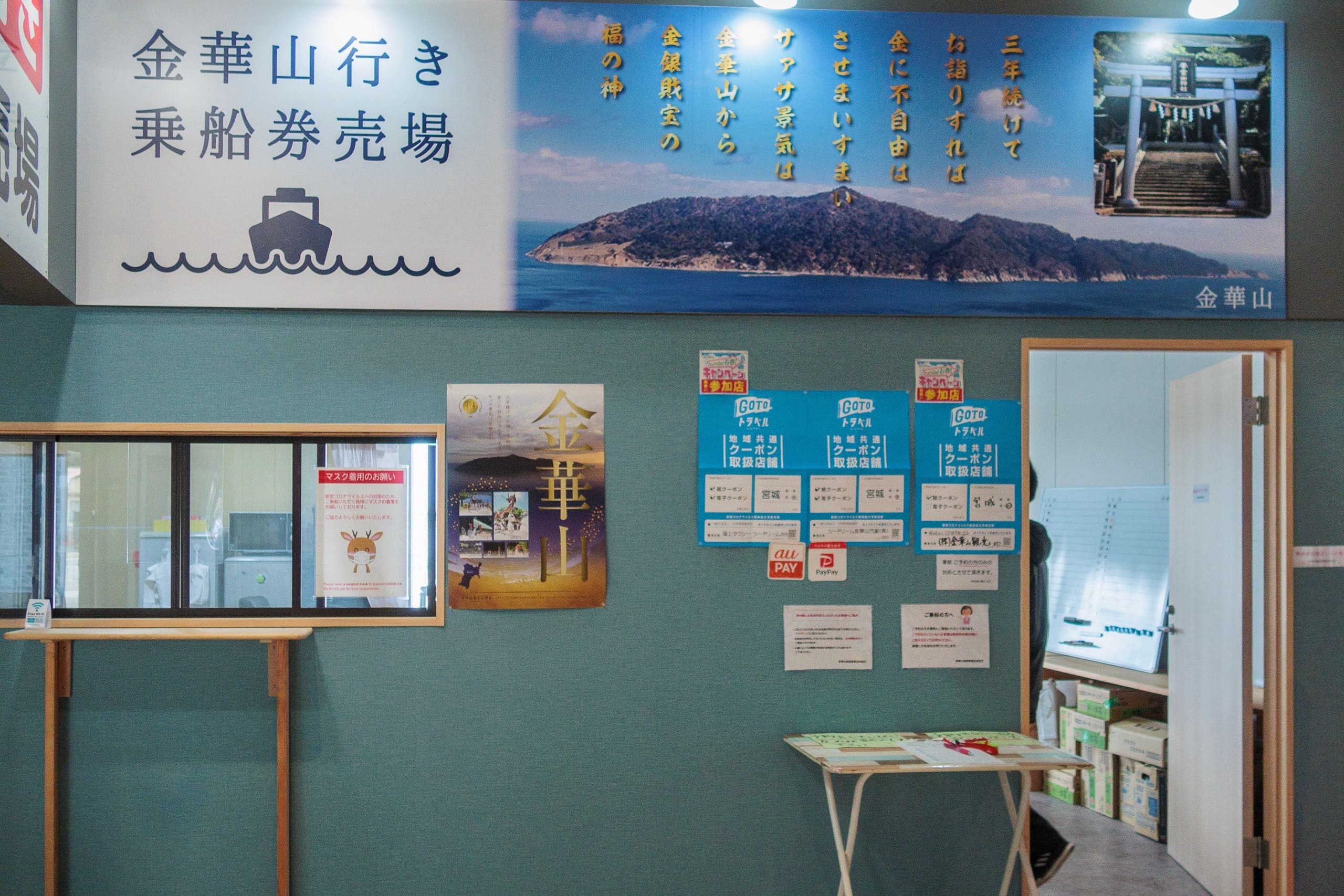
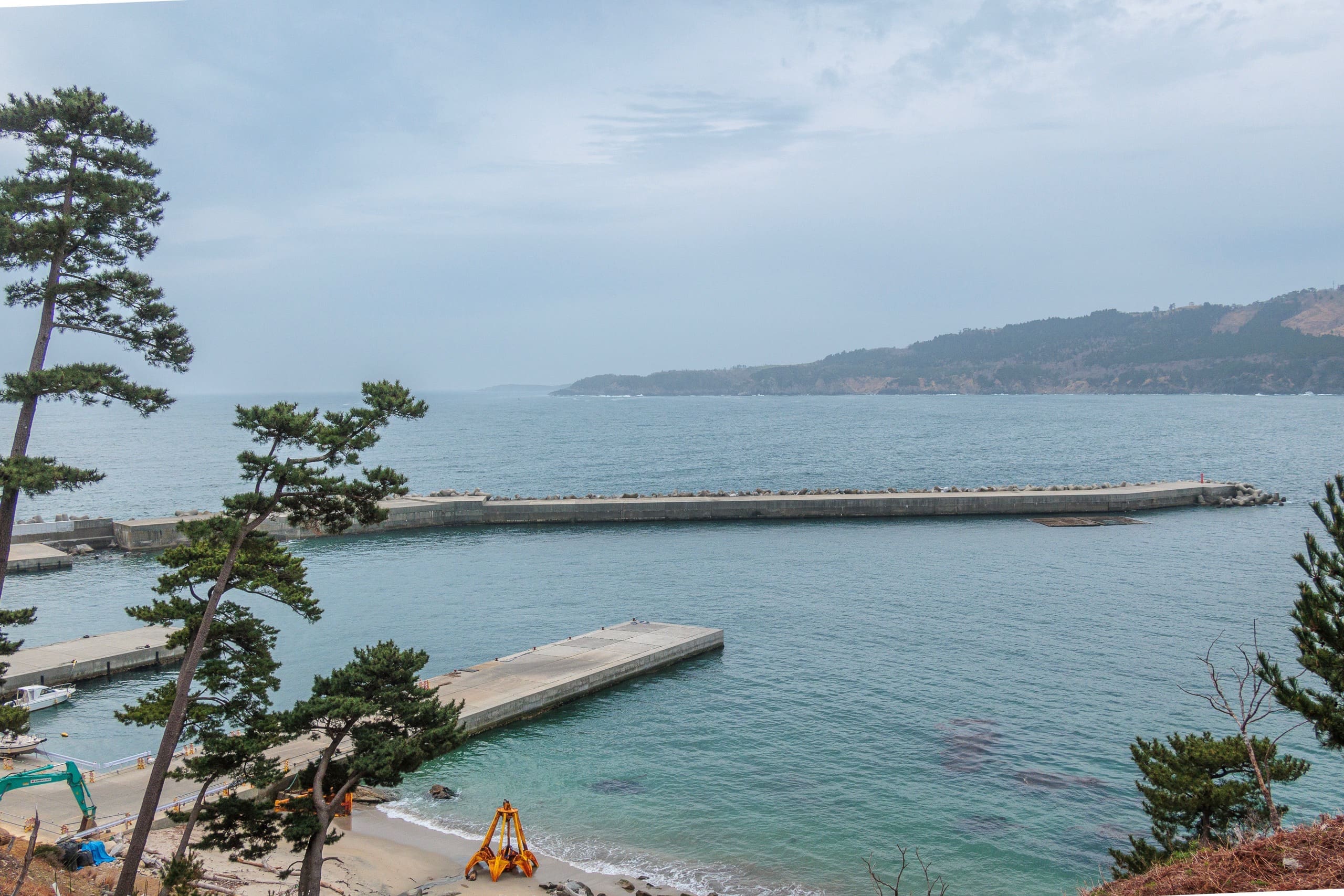
First we went to the ticket office inside Whale Town Oshika ホエールタウンおしか, a sleek white one-story building in the middle of the port, to pay the fare.
Soon after, we were escorted to a small passenger boat, which departed immediately for Kinkasan.
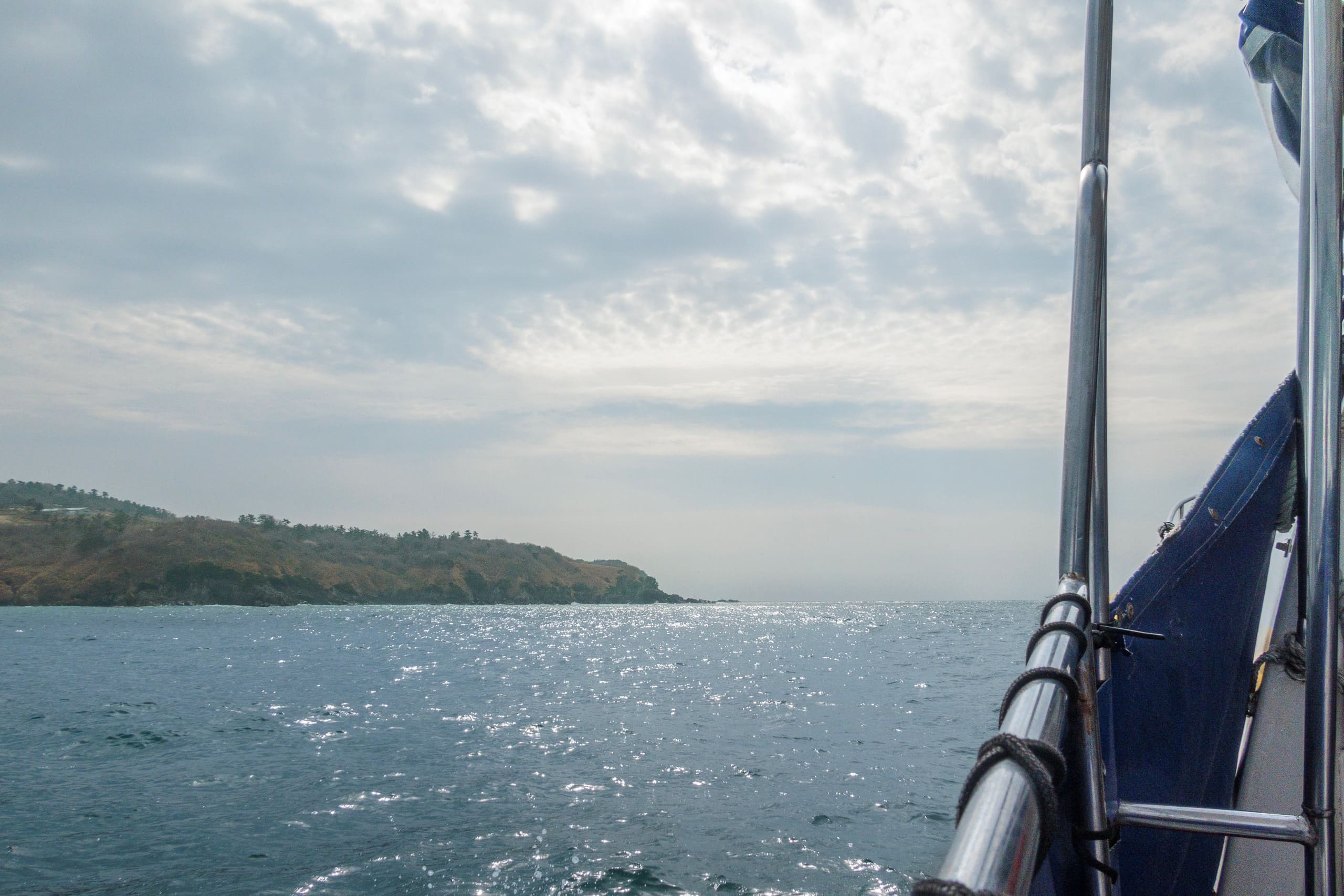
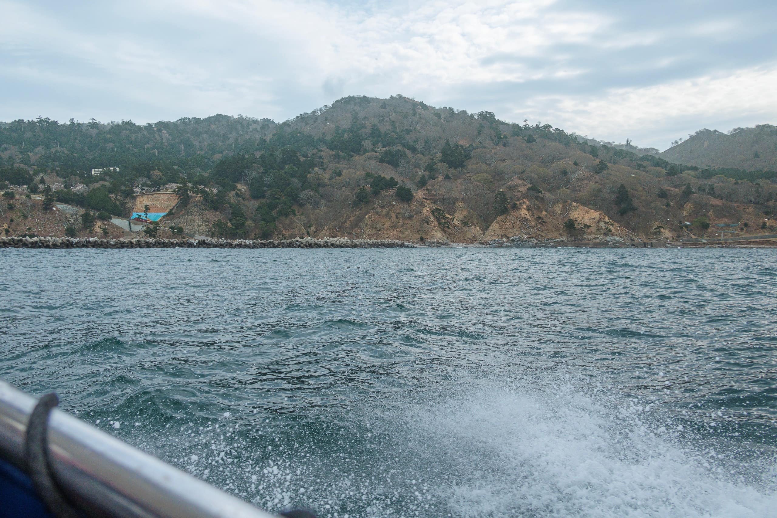
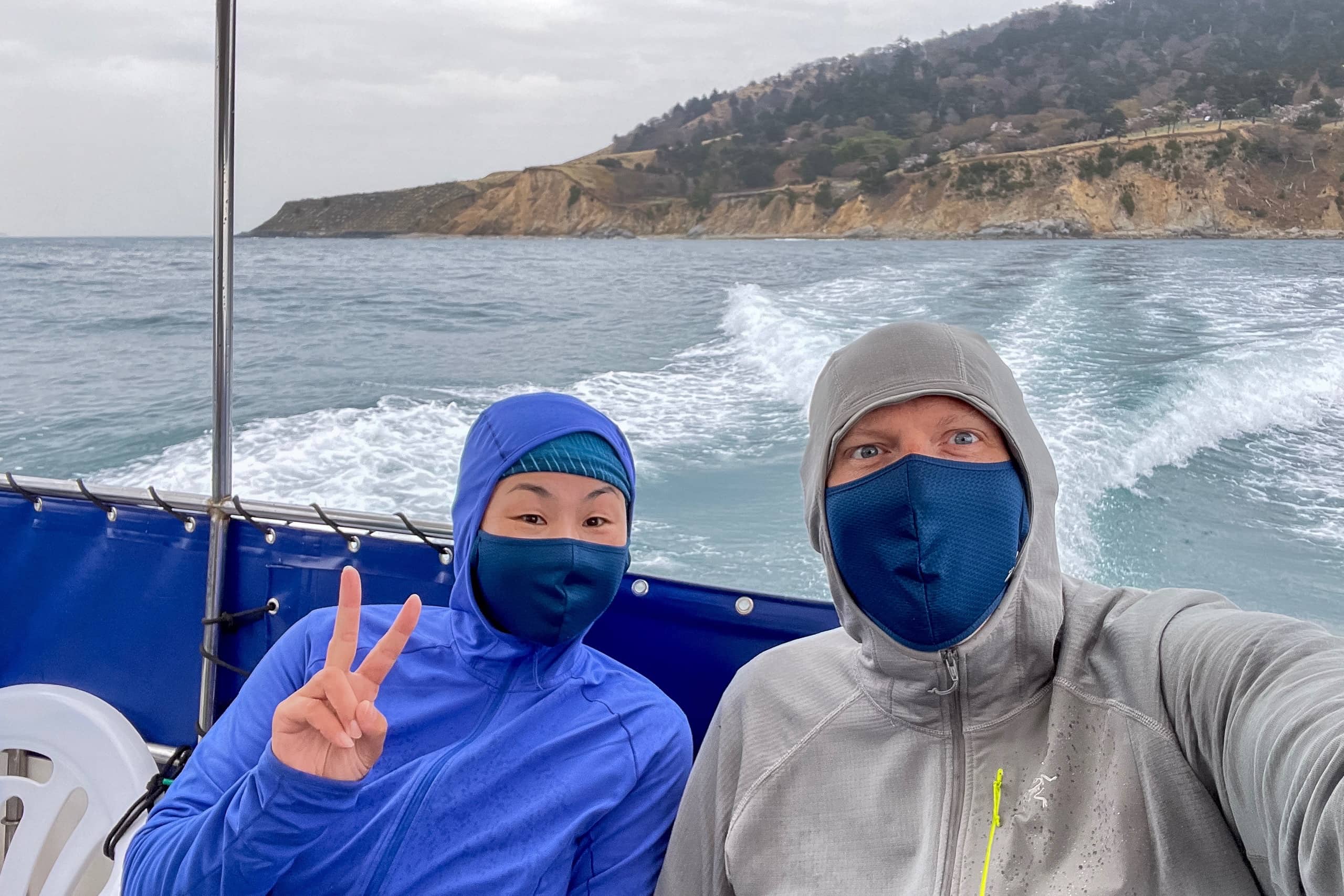
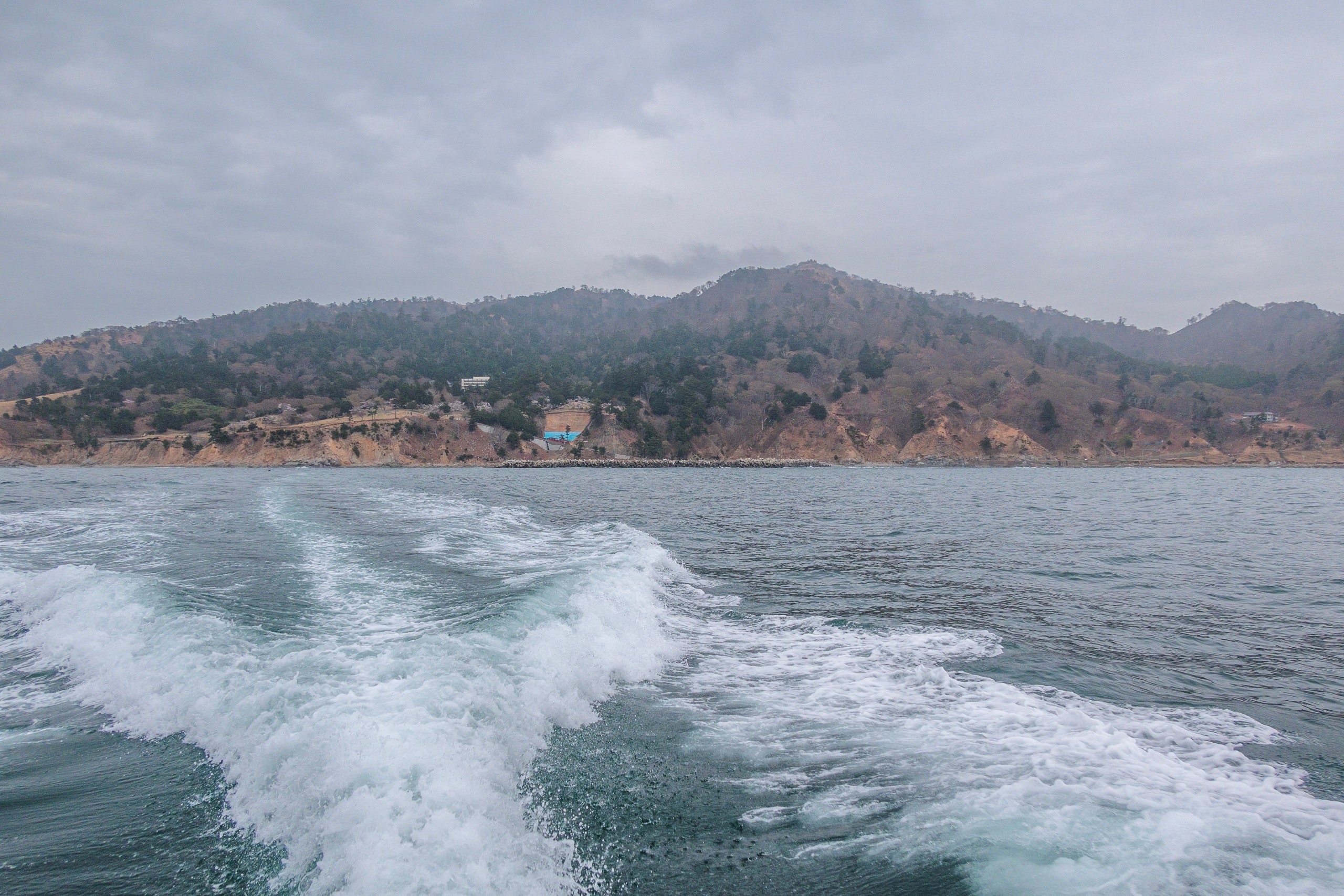
It was slightly cloudy compared with yesterday’s perfect blue sky, but there was no sign of bad weather yet. The boat crew warned us that the waves were already growing rougher, even though the water near the port still looked calm.
As soon as the boat reached open water, it turned into a roller-coaster ride. I gripped the handrail tightly to keep from sliding off my seat. The rocking continued for the entire twenty-minute crossing, but thankfully we didn’t get seasick.
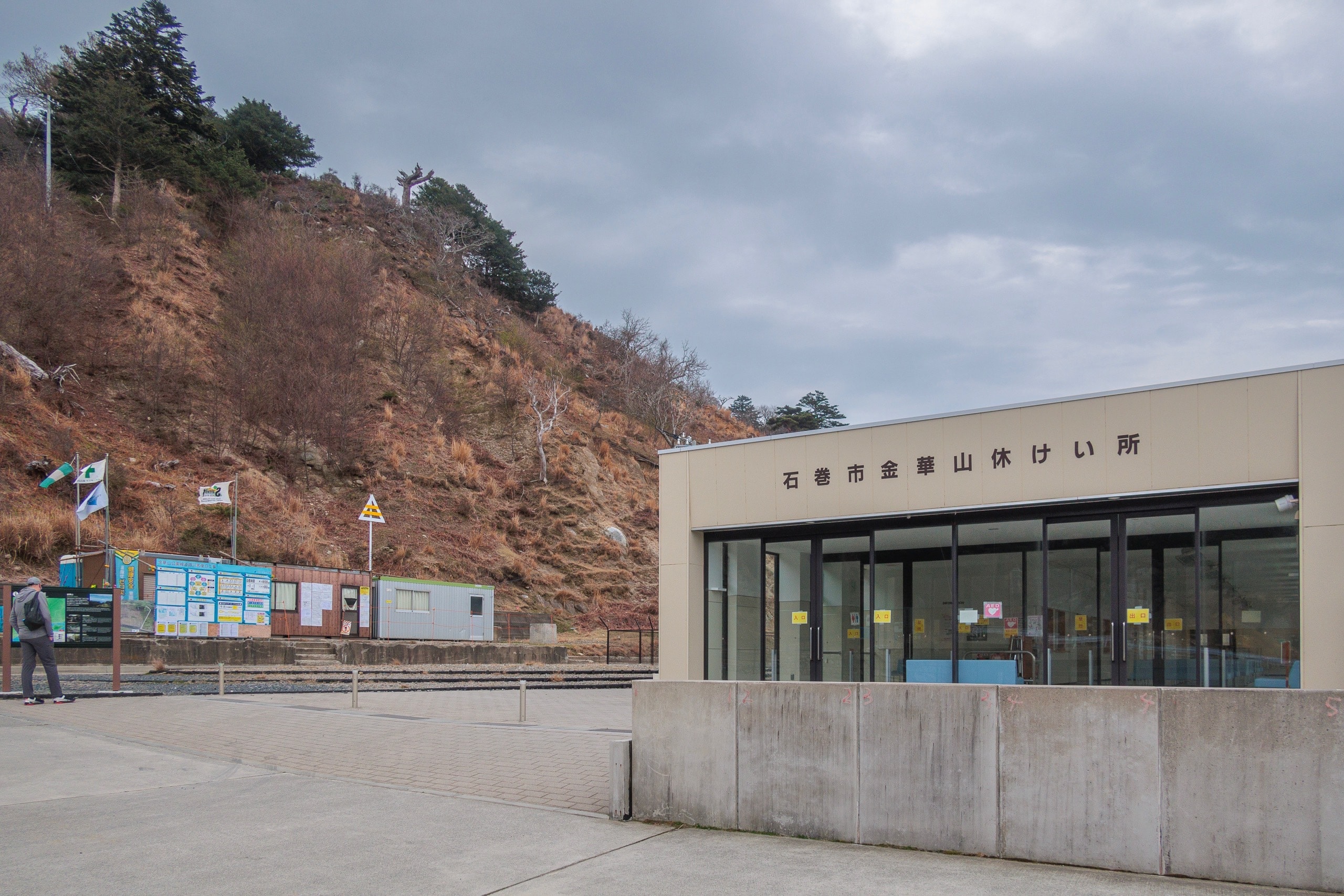
No one else was around the ferry landing when we arrived — we had come before the regular ferries.
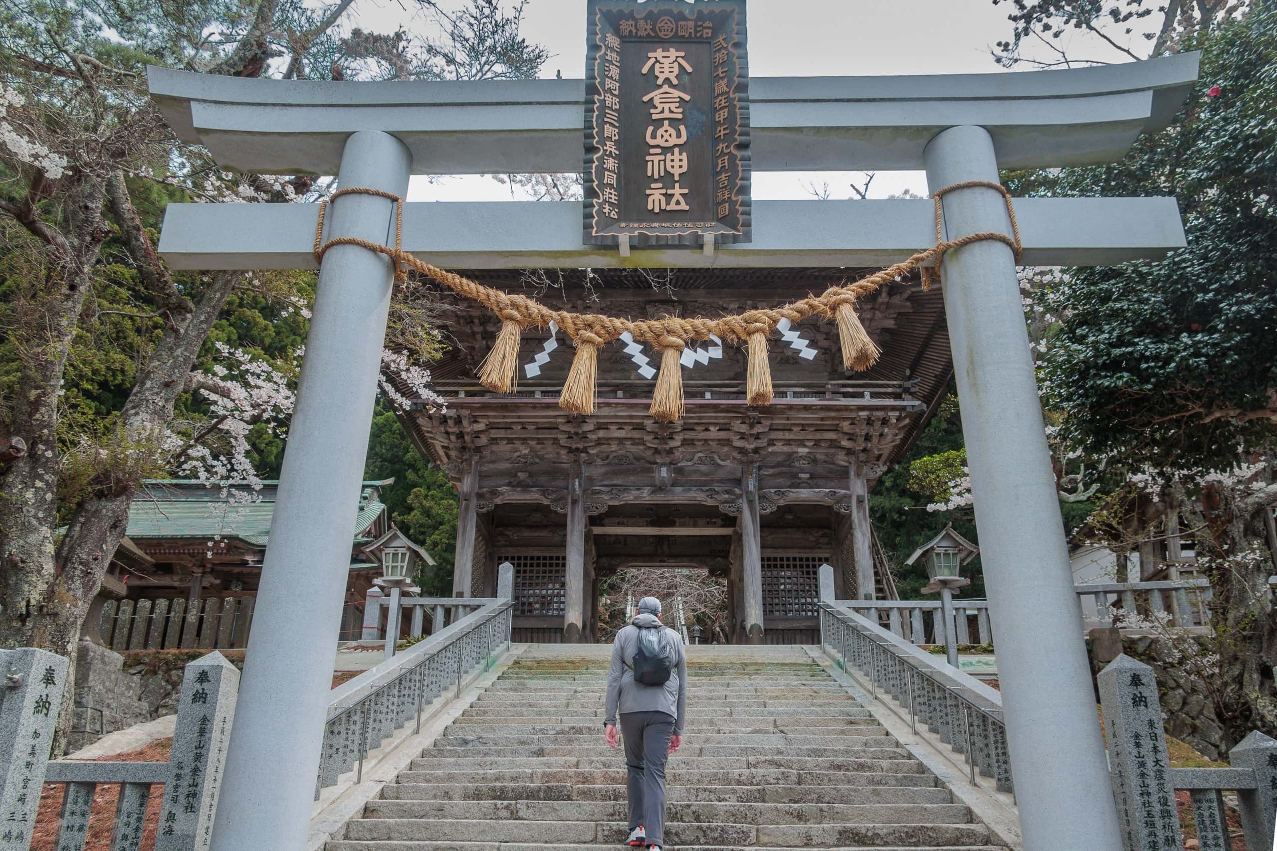
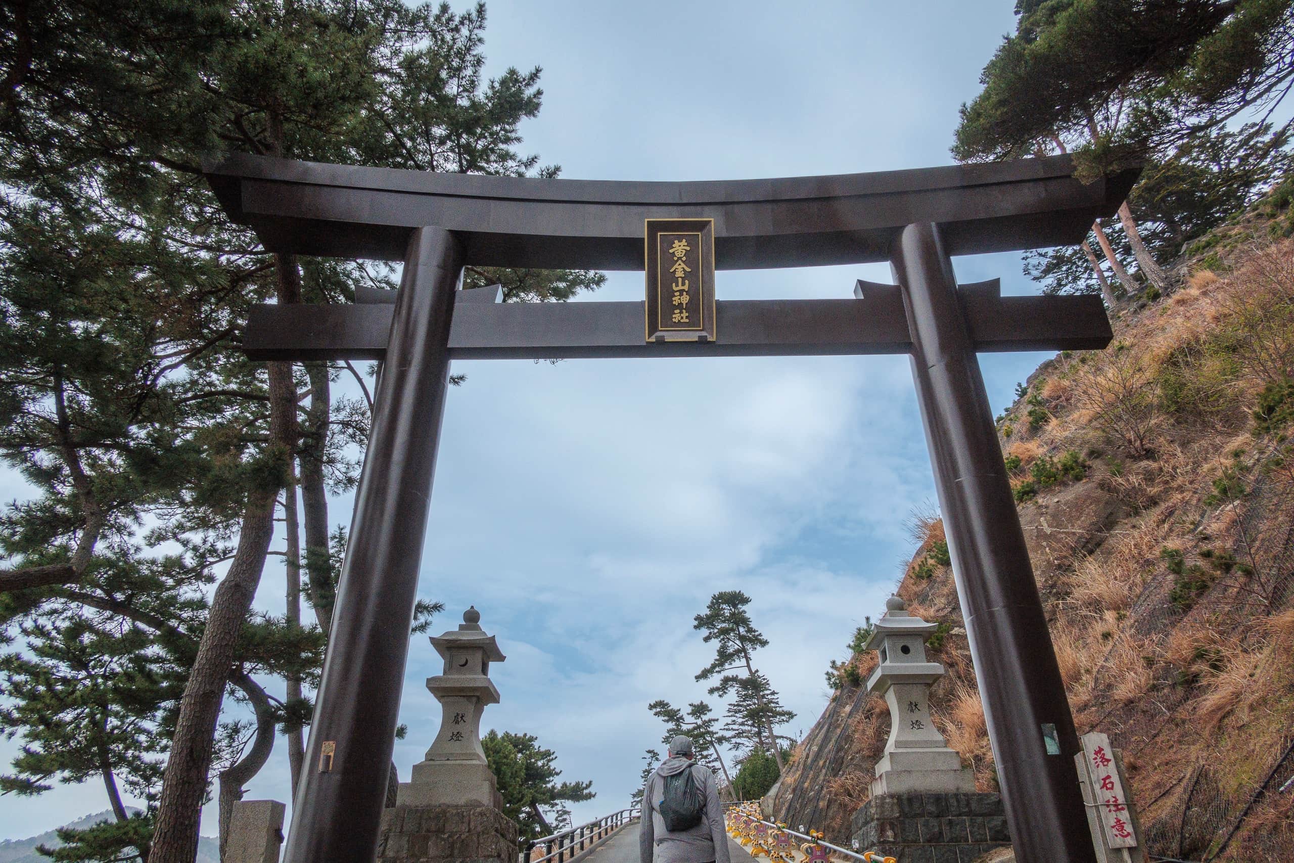
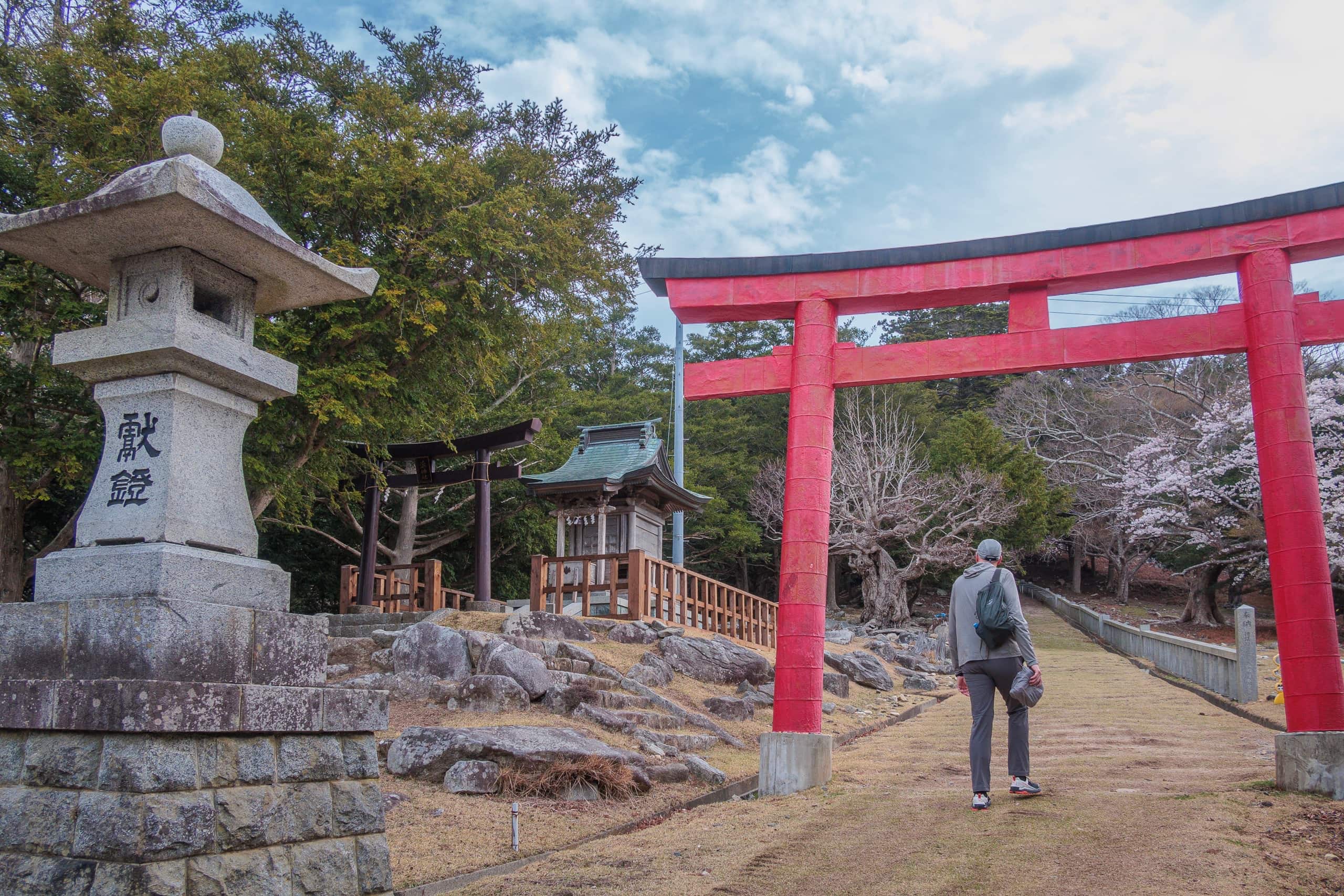
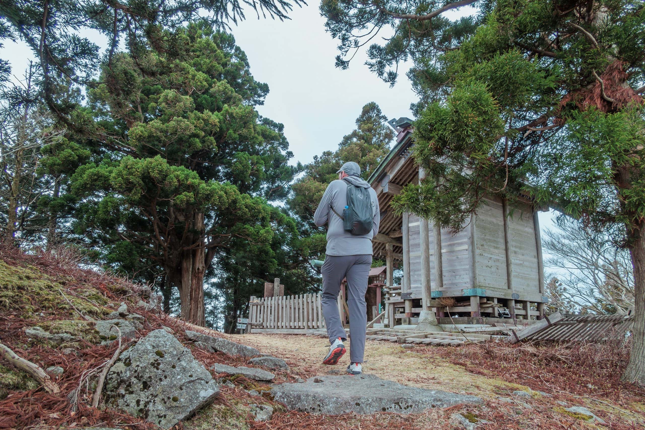
We waved to the crew, peeked through the windows of the clean, newly built waiting room, and started walking uphill toward the large bronze-colored torii gate.
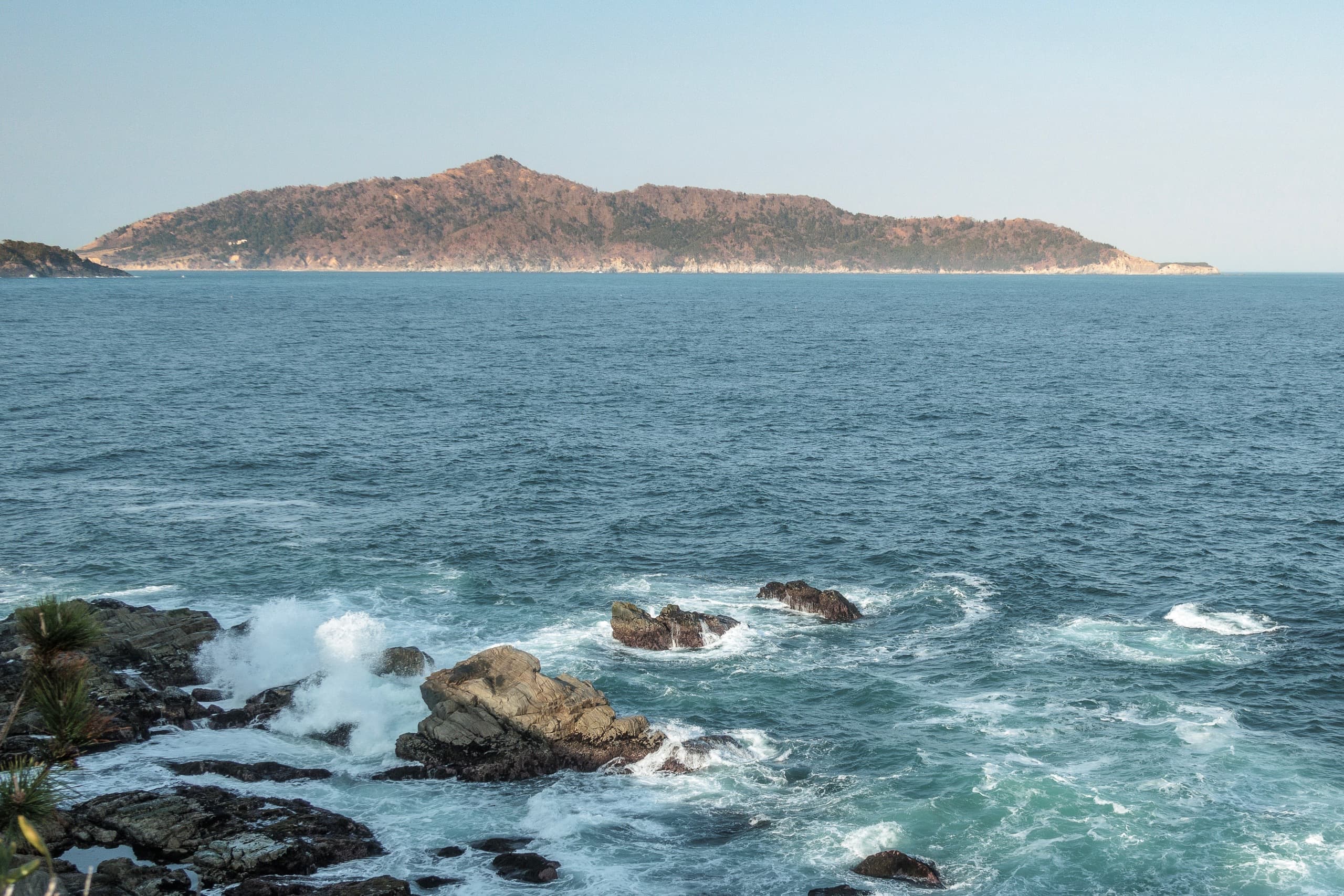
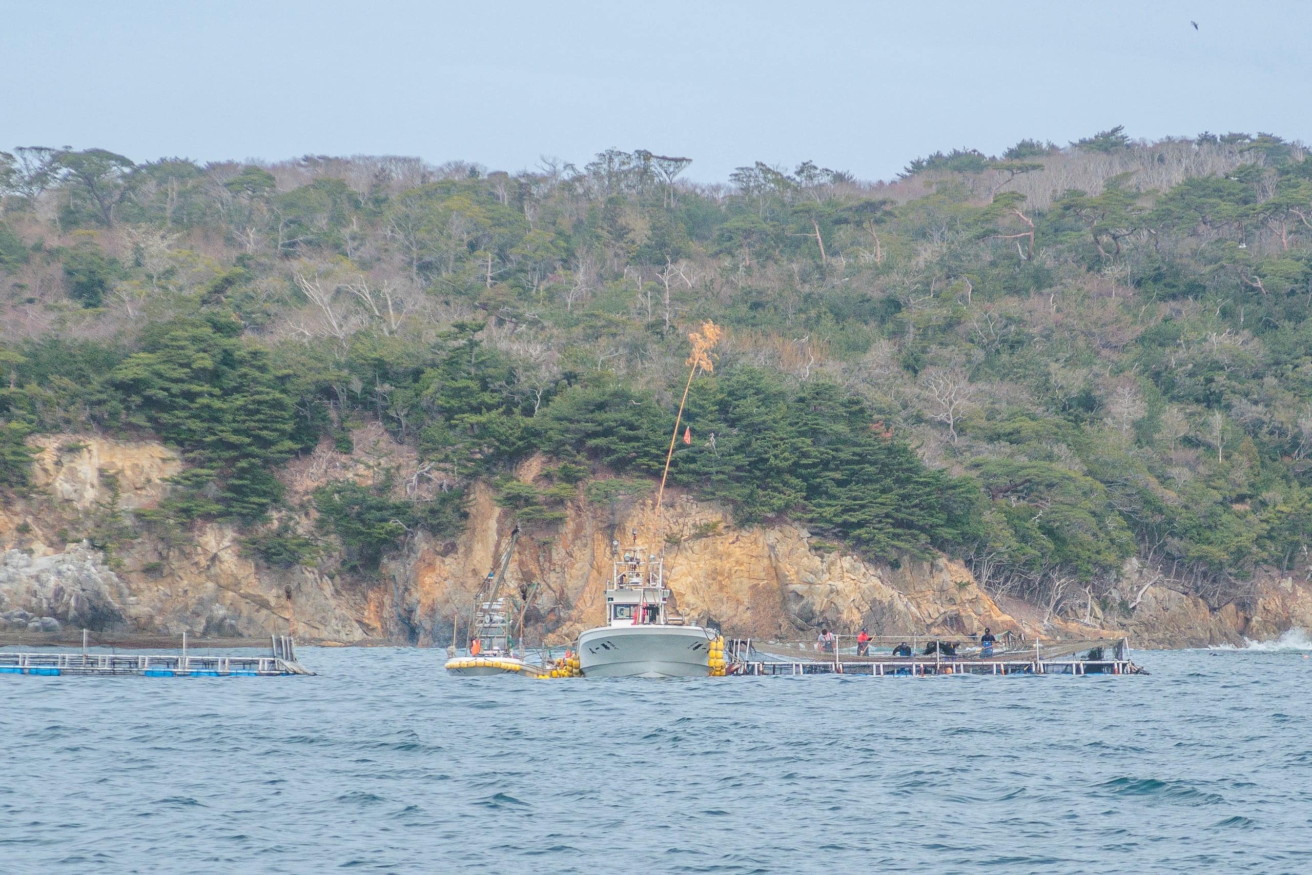
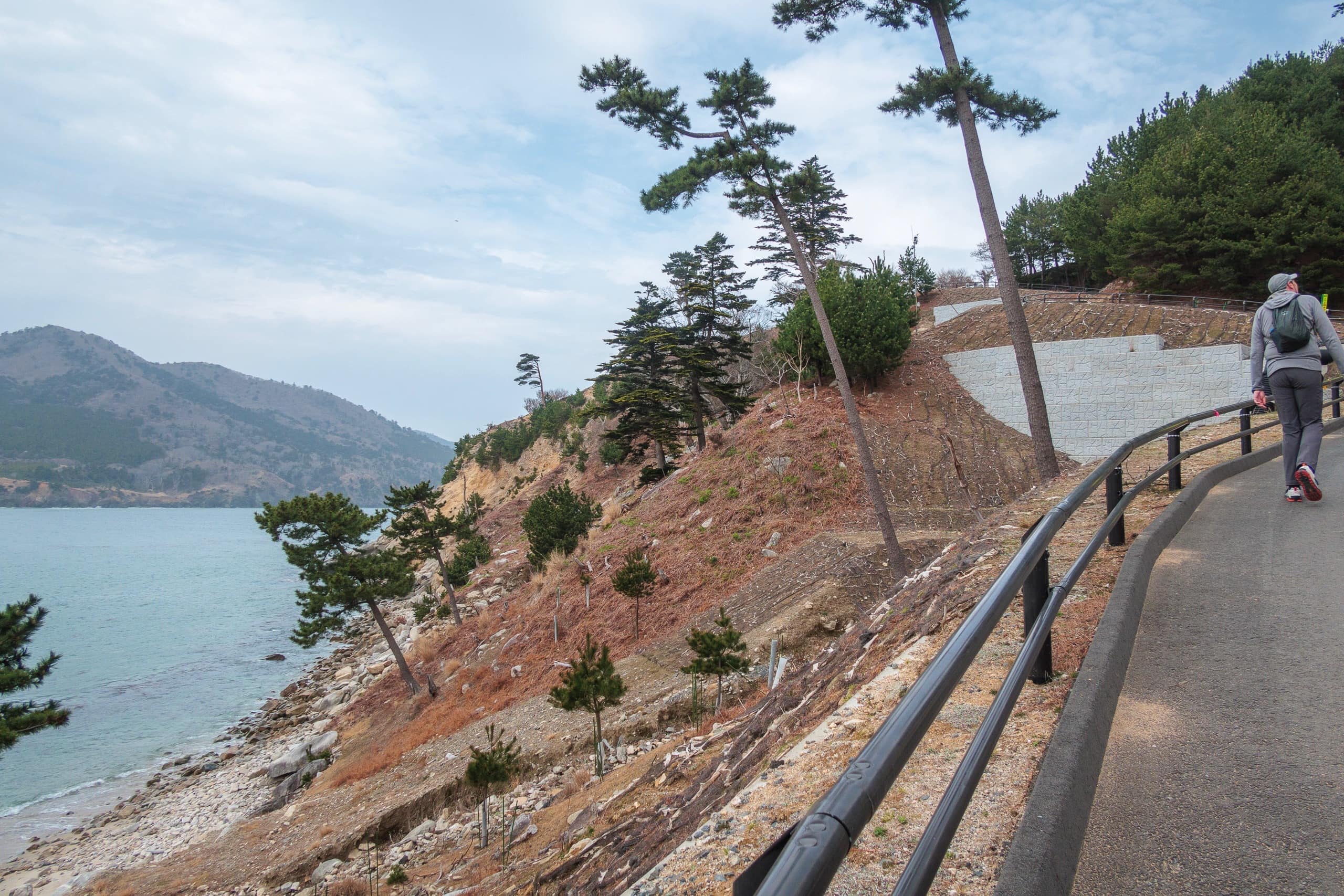
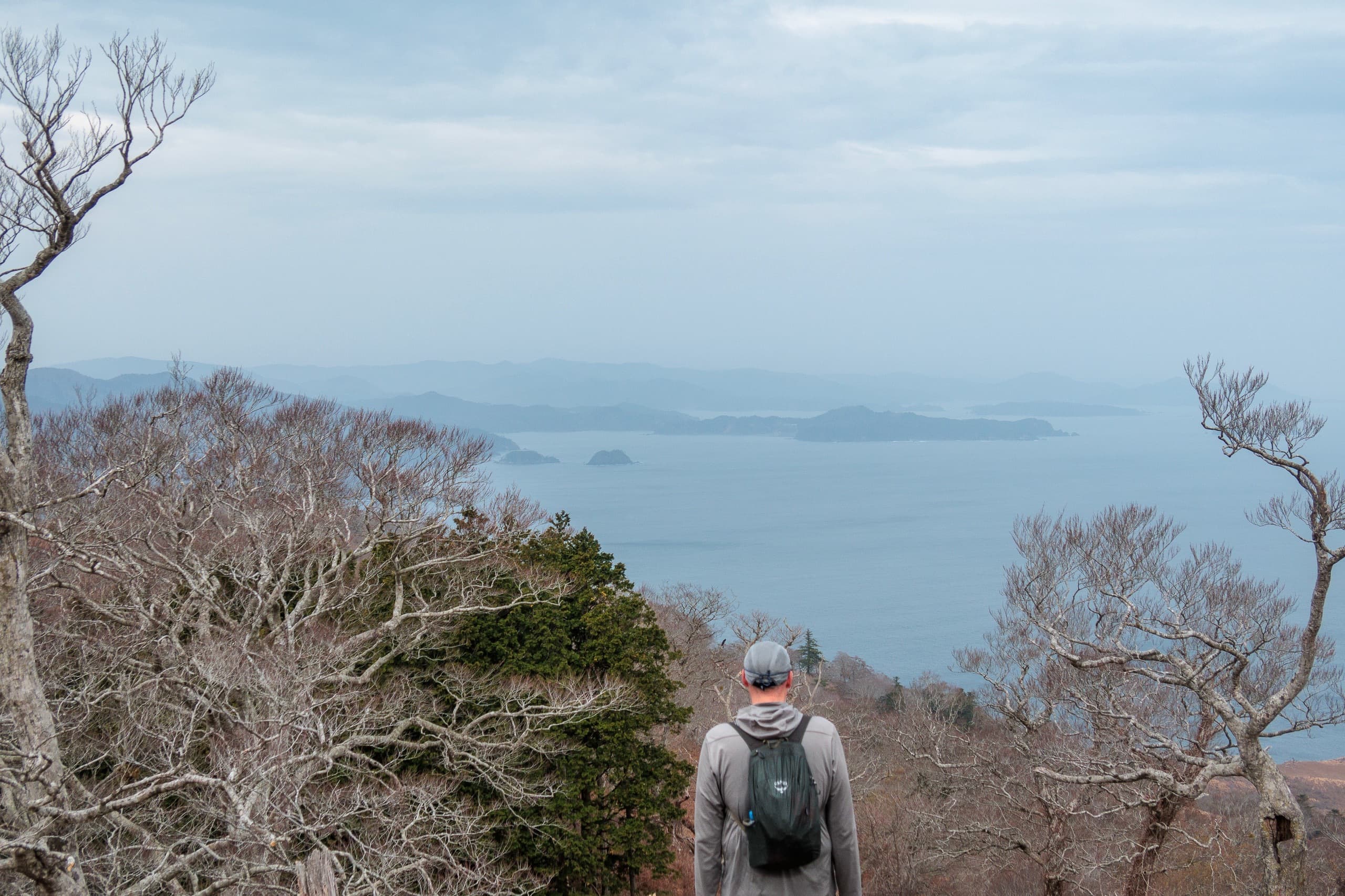
The lower slopes of the island were mostly bare earth with scattered pine trees. I wasn’t sure whether this was normal or the result of the earthquake and tsunami.
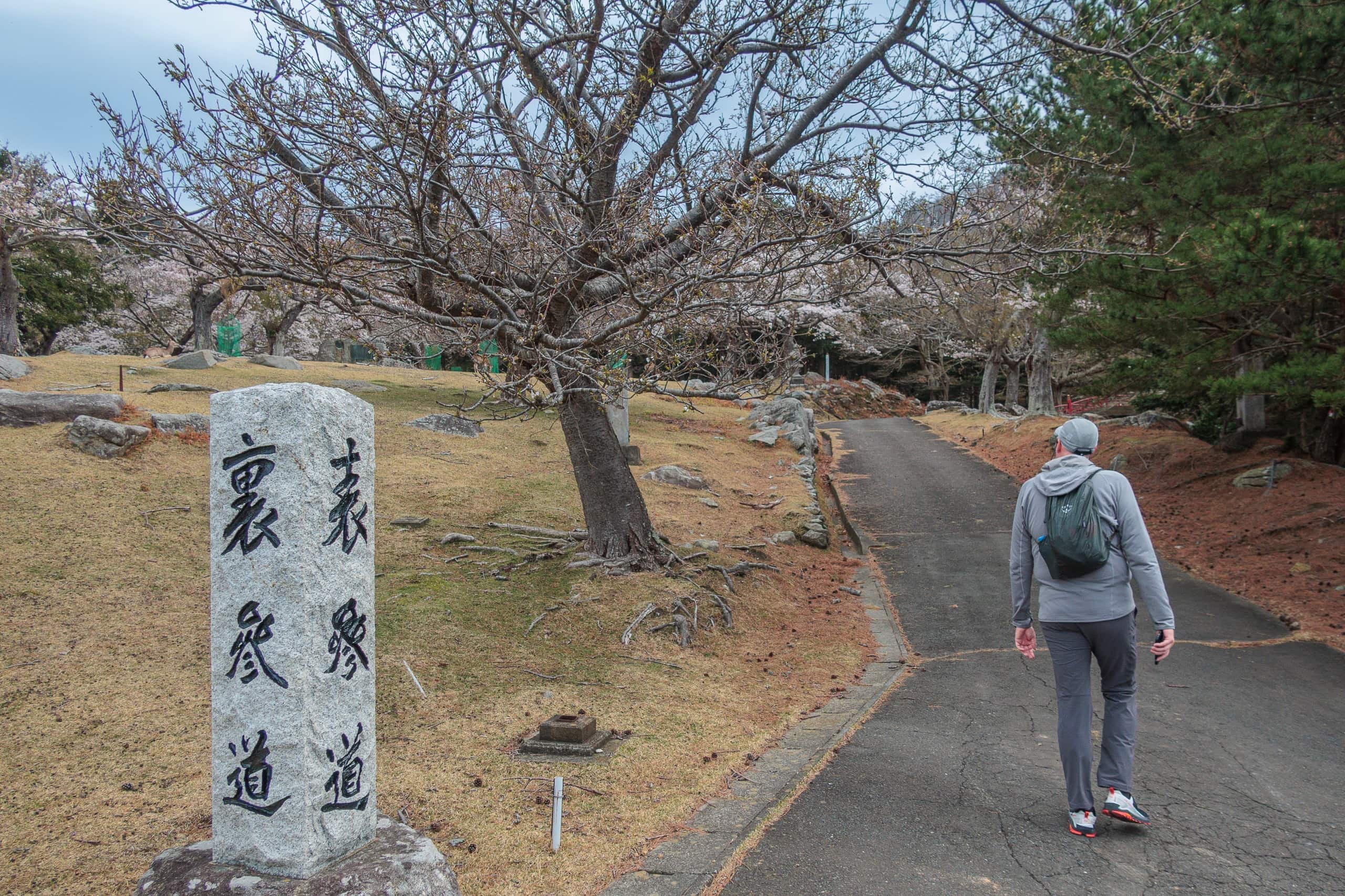
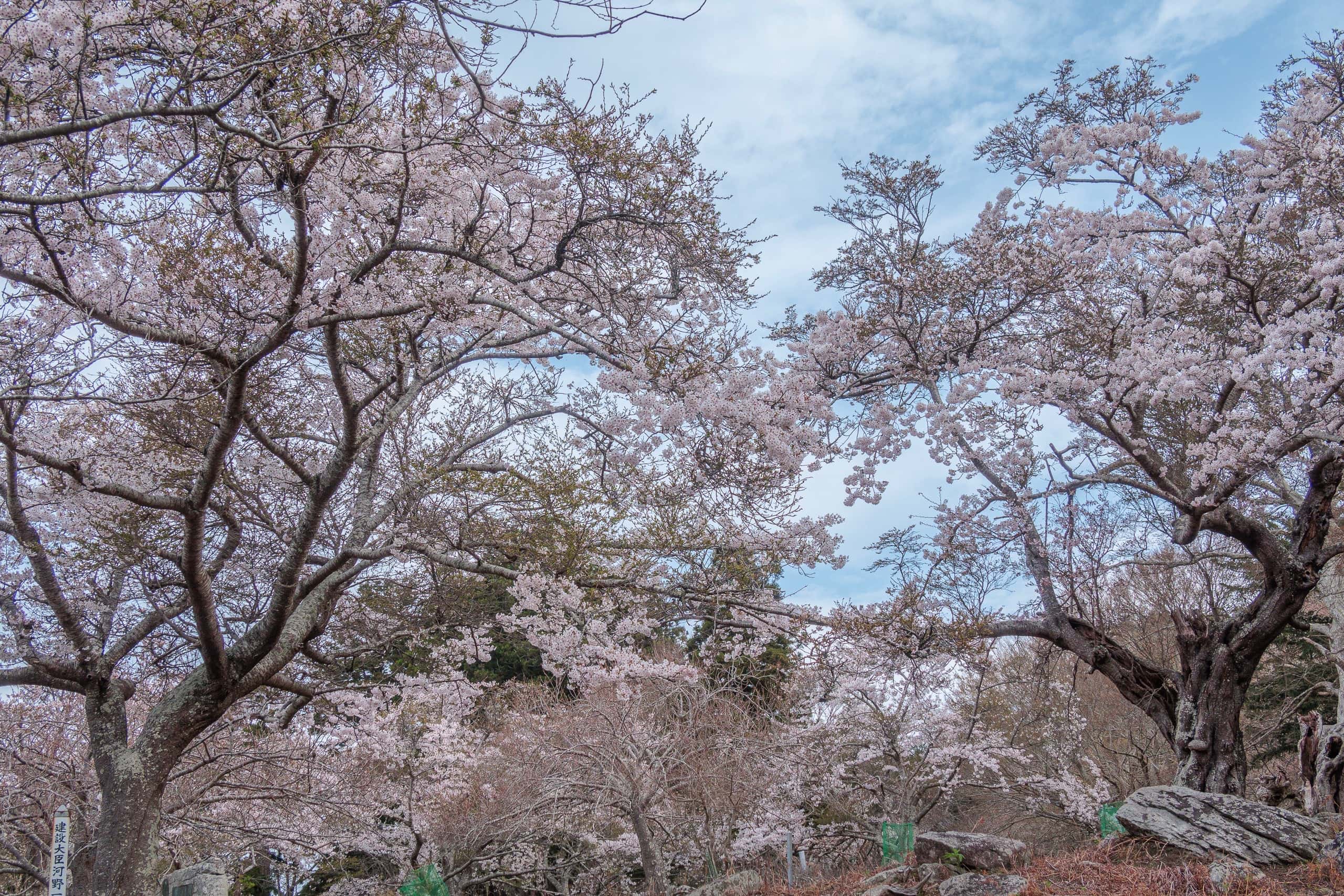
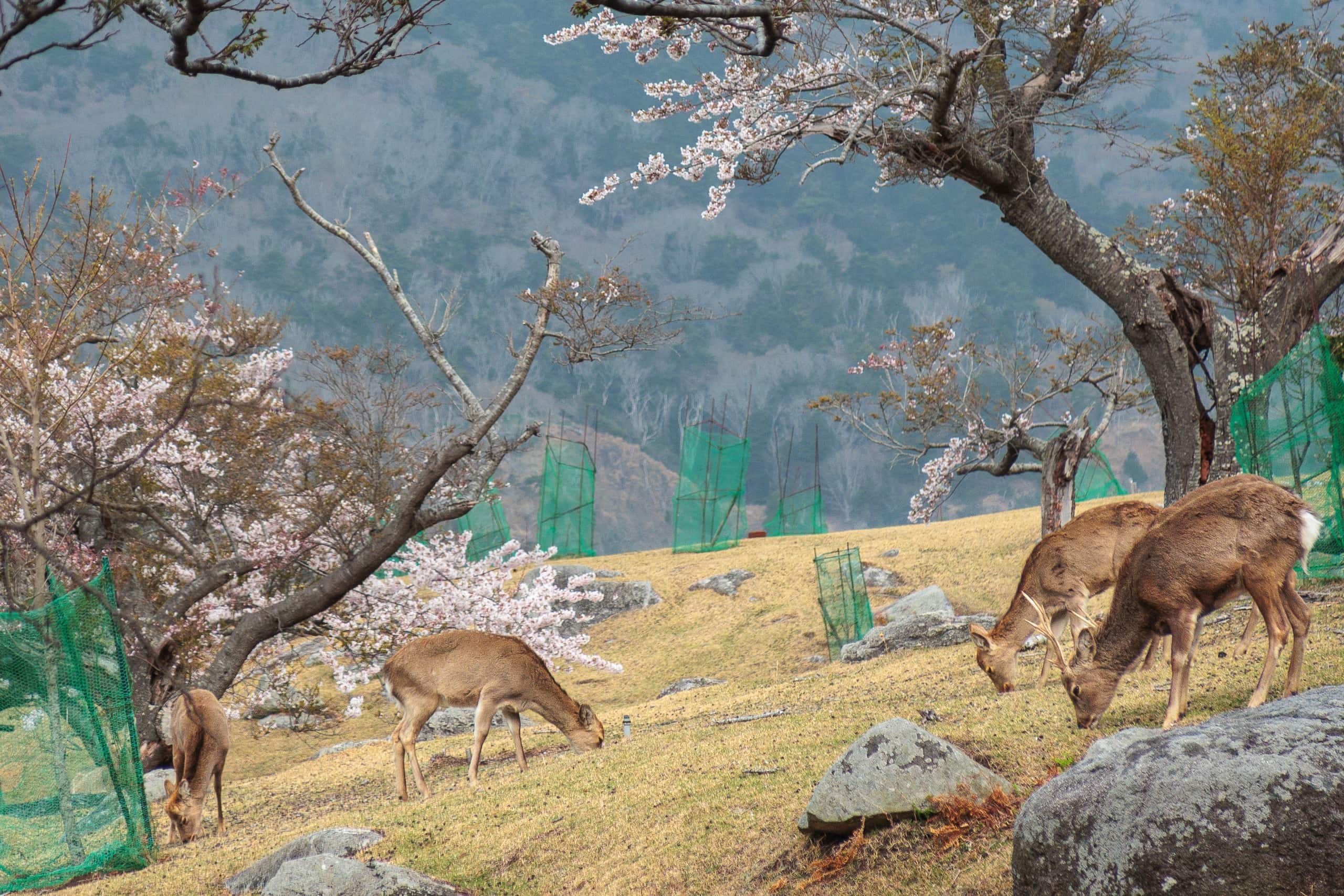
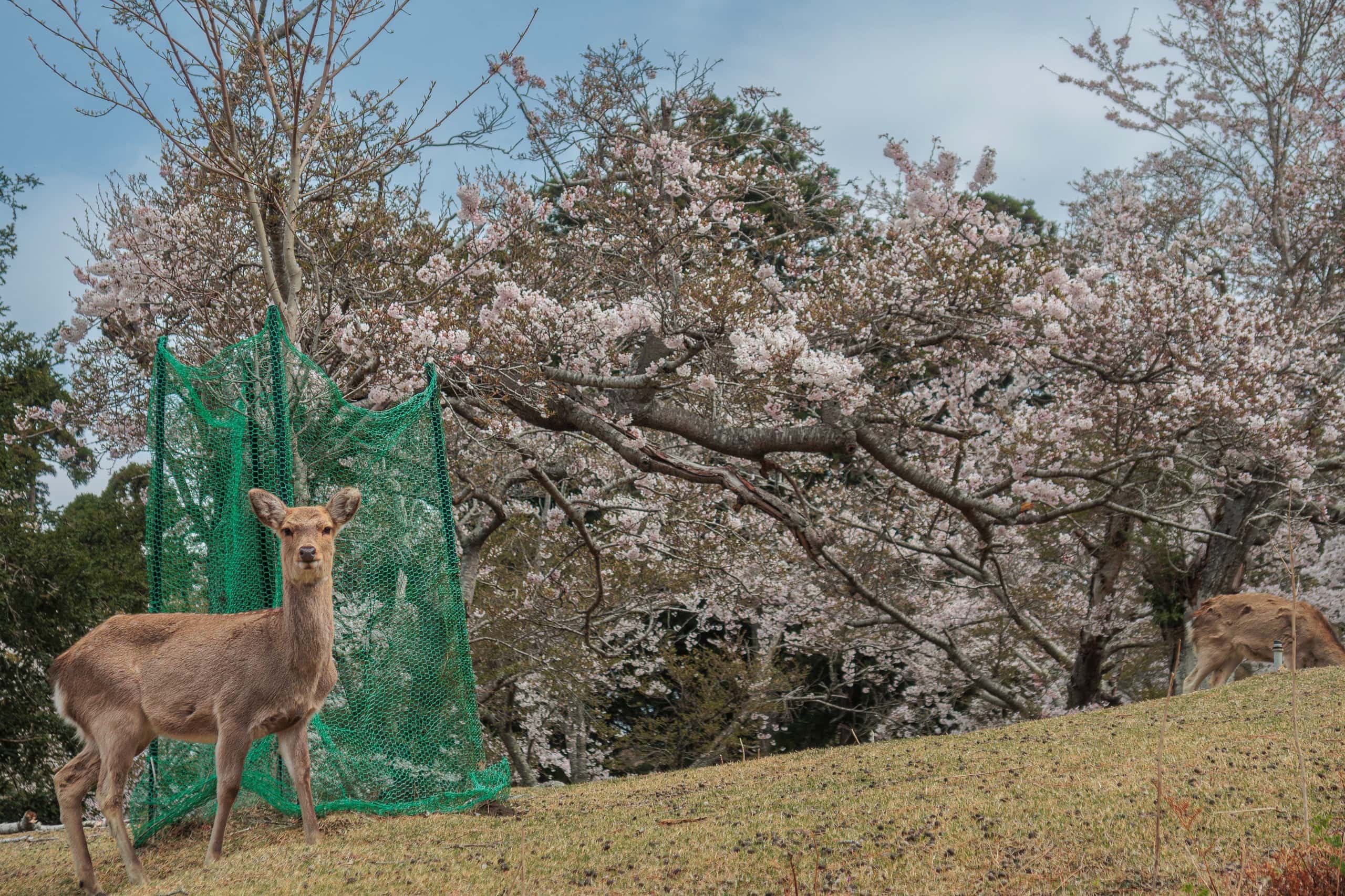
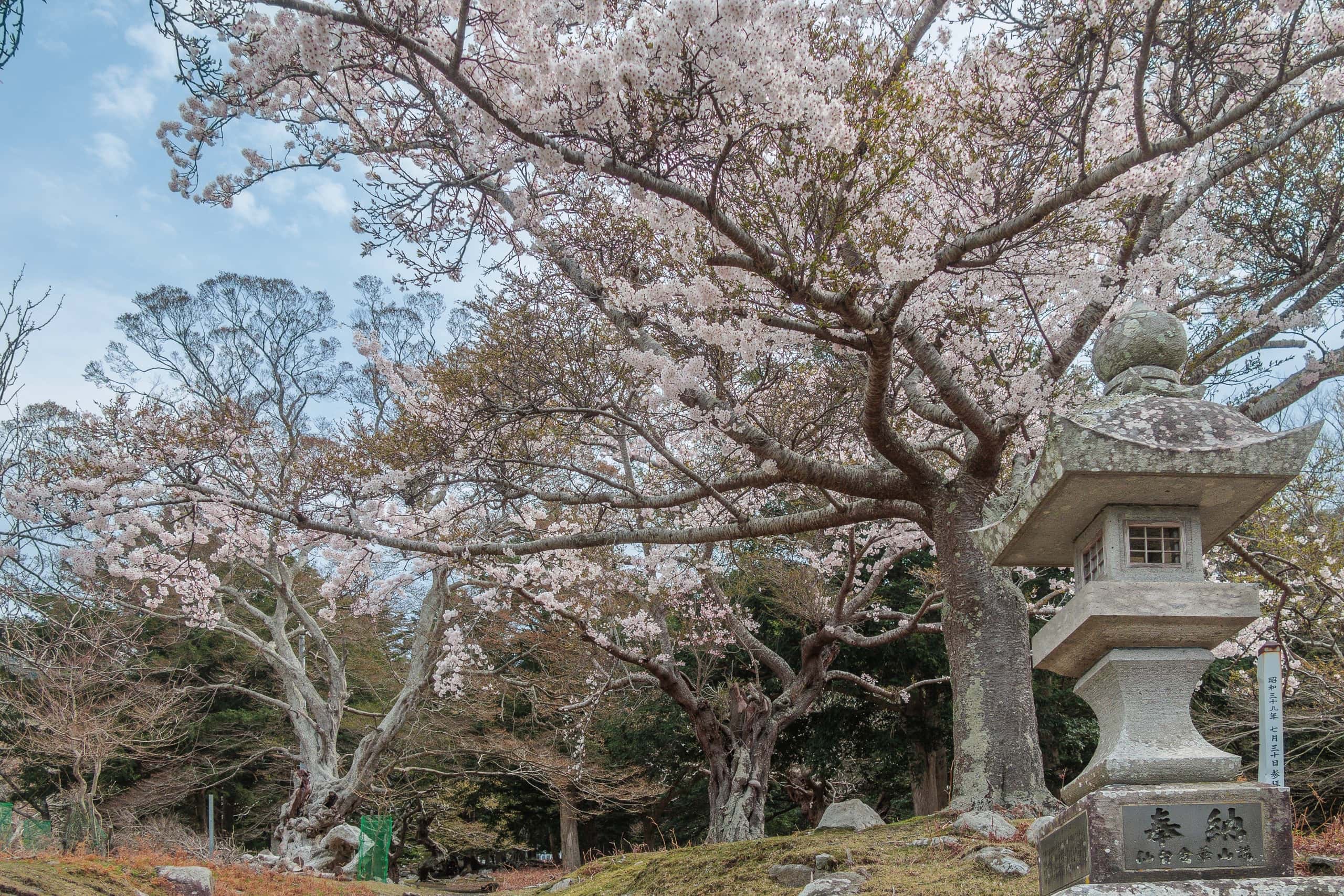
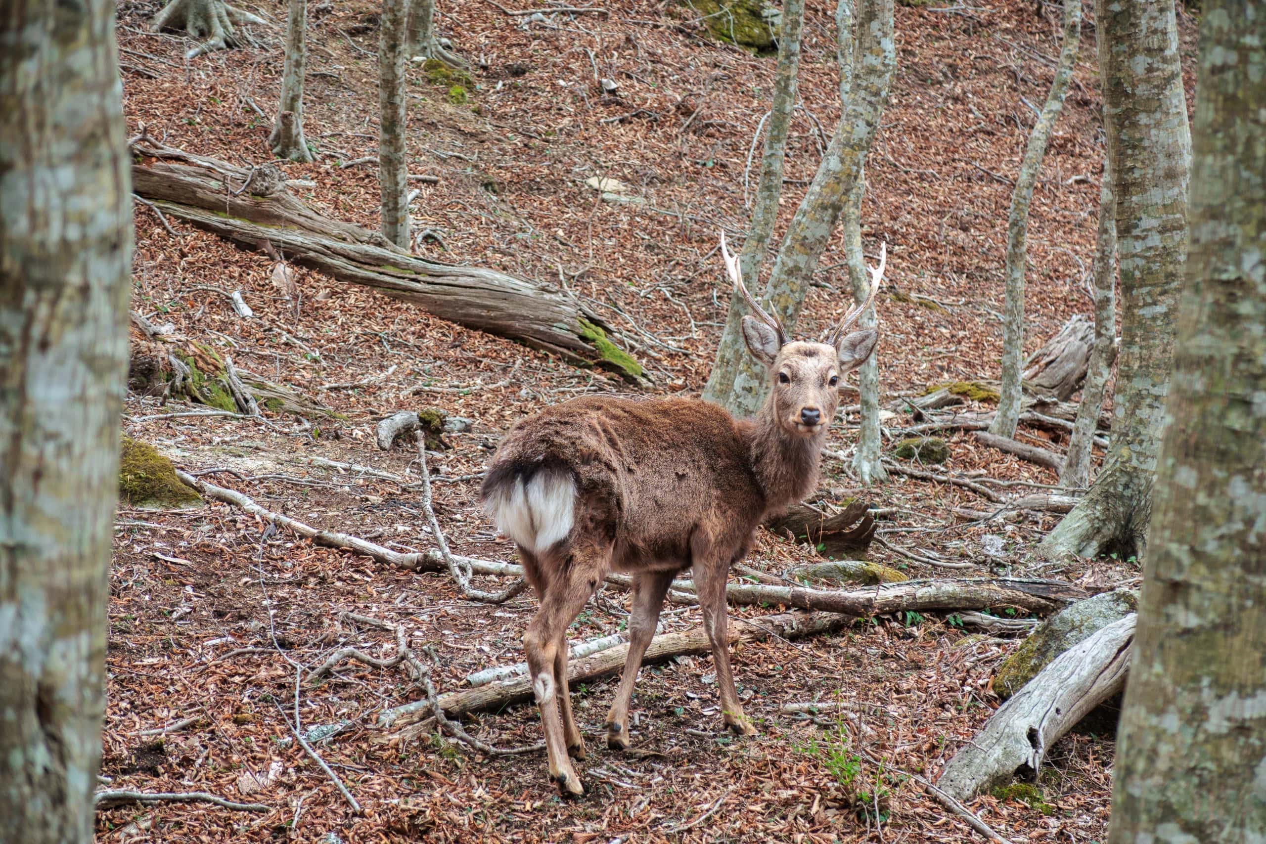
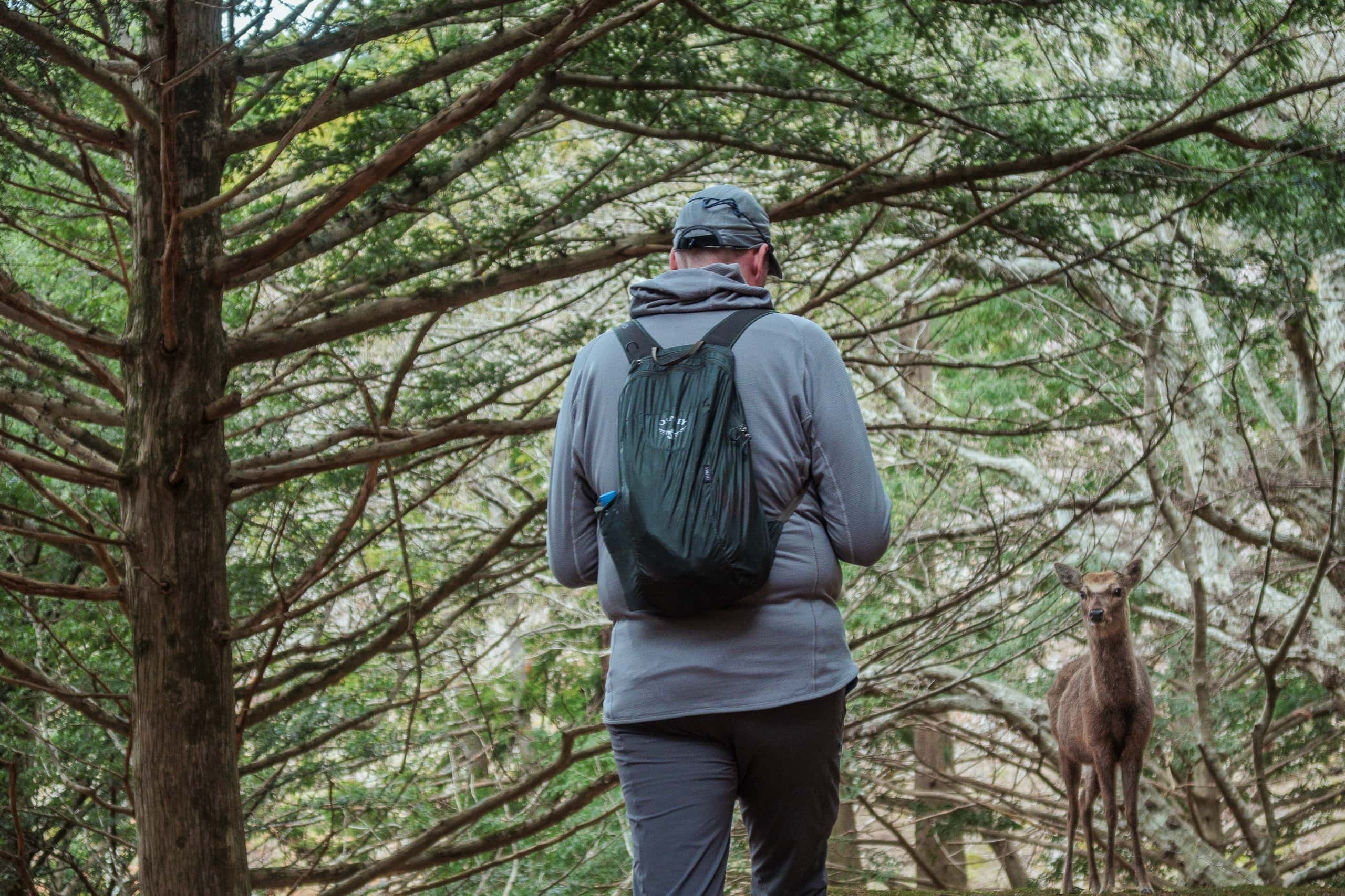
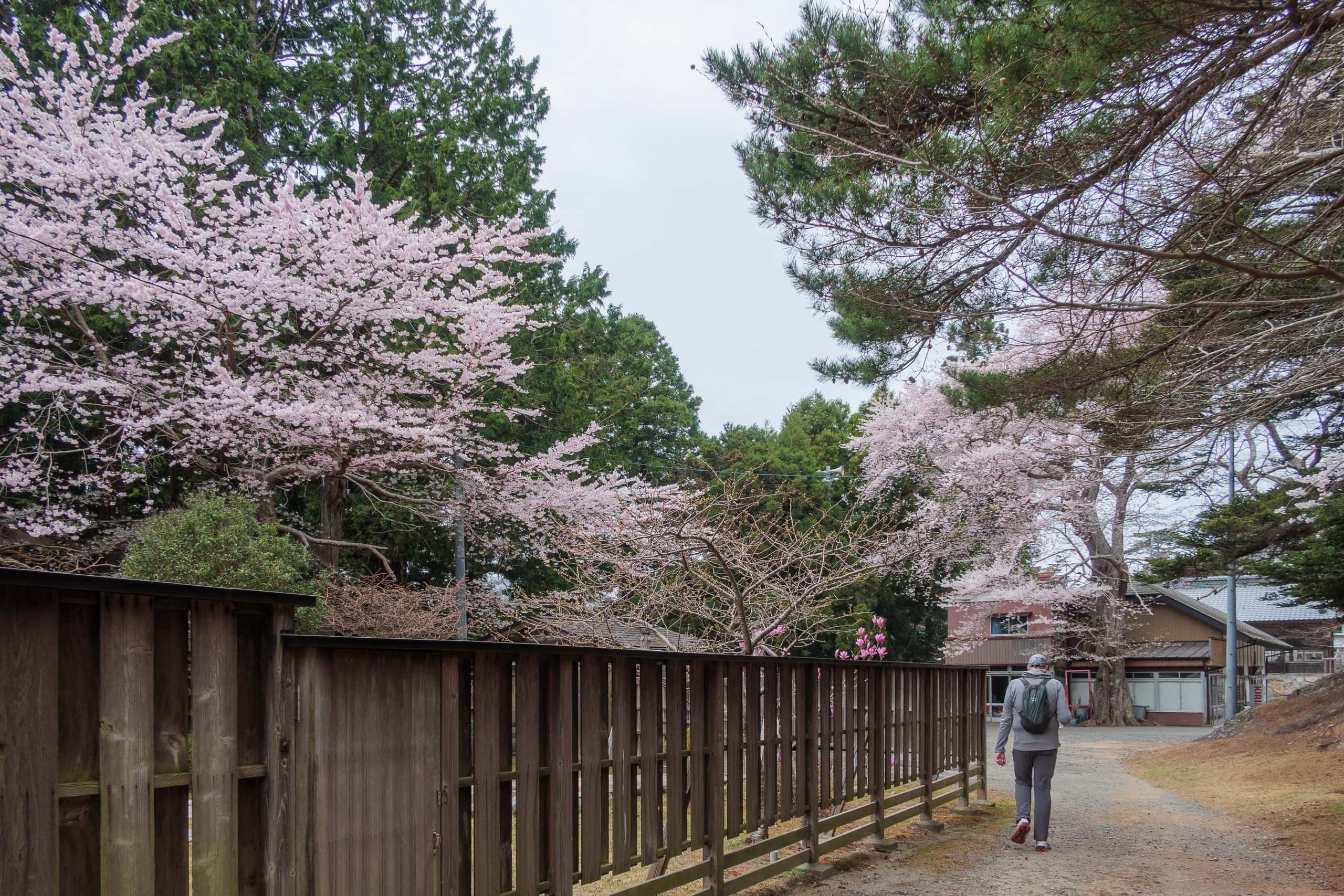
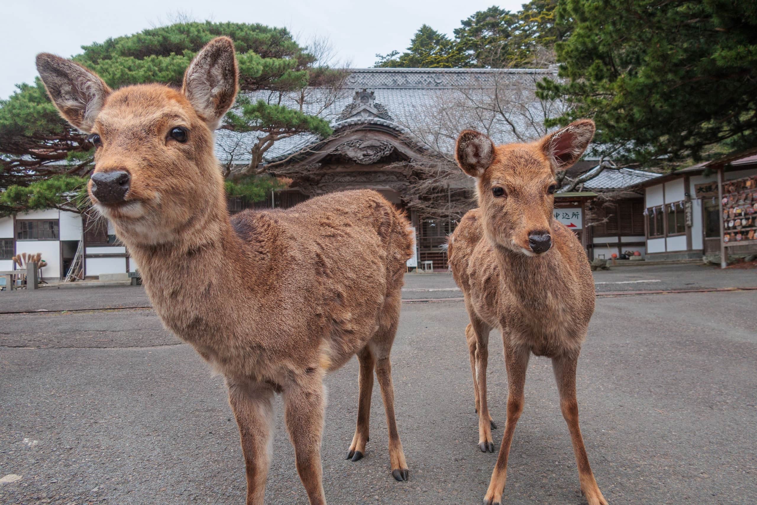
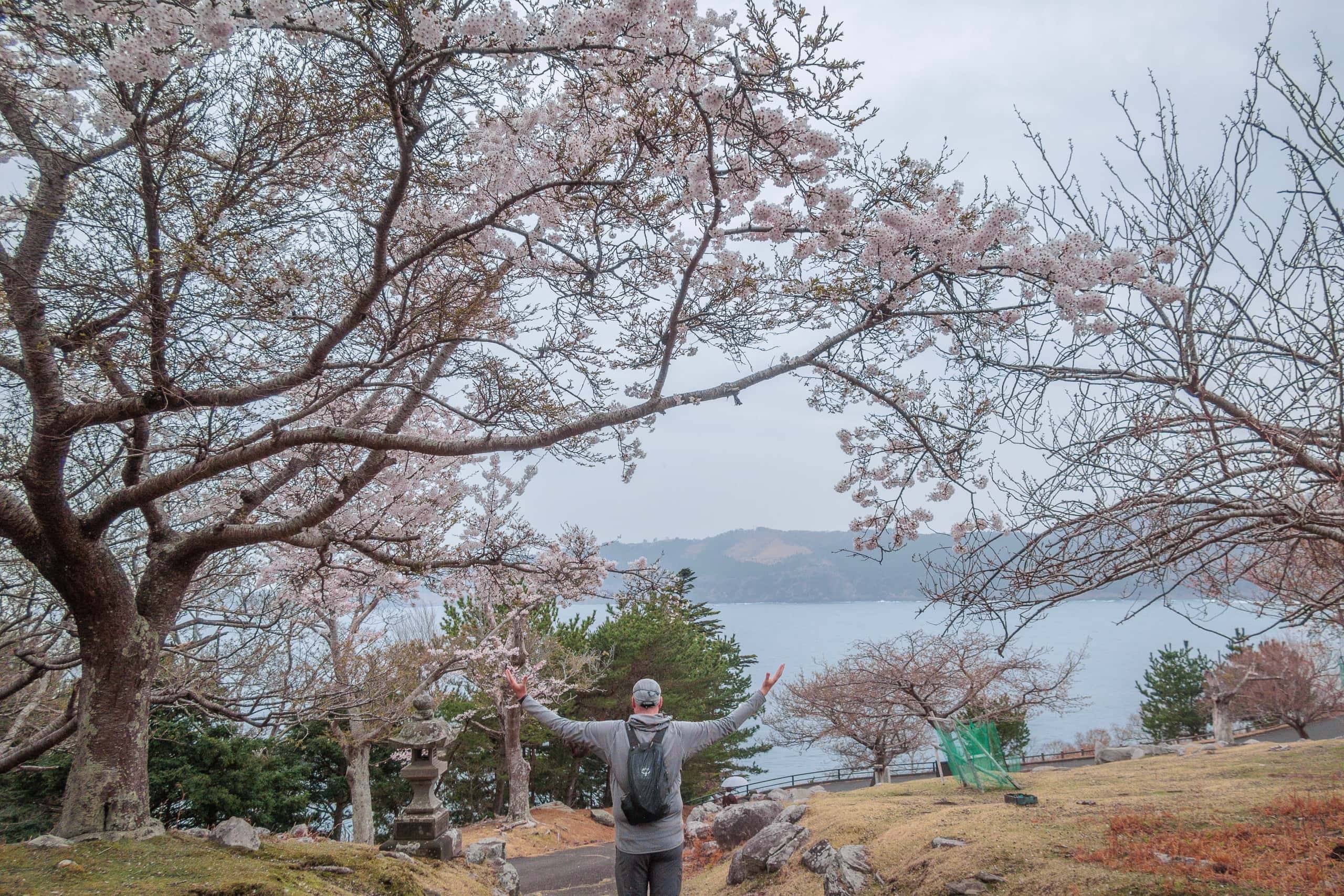
A little higher up, the ground turned grassy, and old cherry trees stood in full bloom. A small herd of deer grazed calmly, occasionally lifting their heads to watch us with mild curiosity.
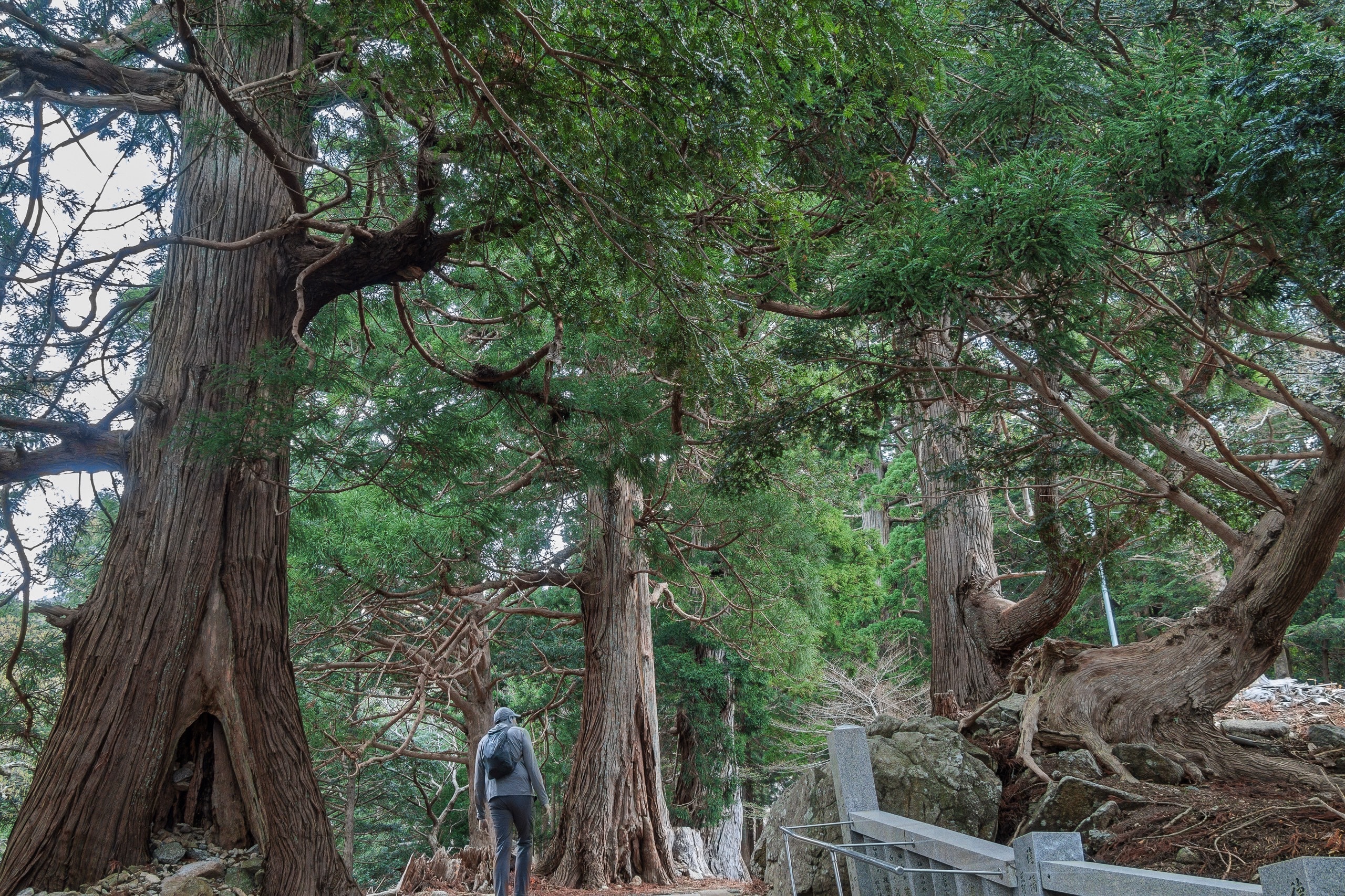
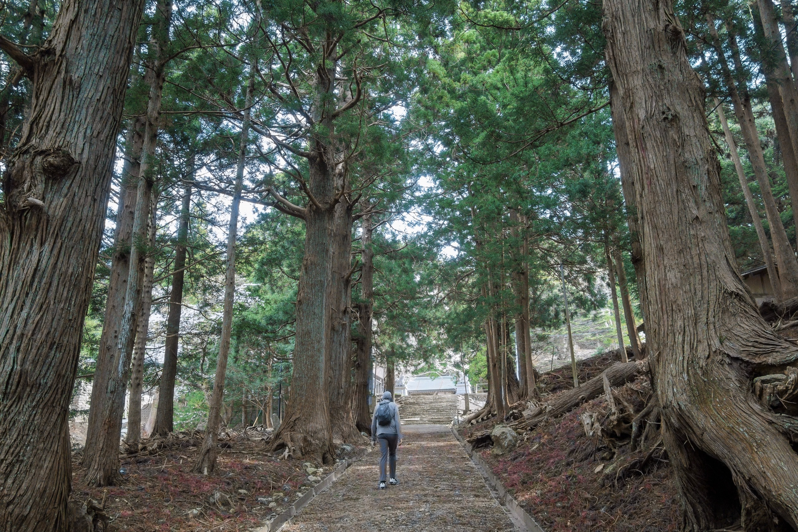
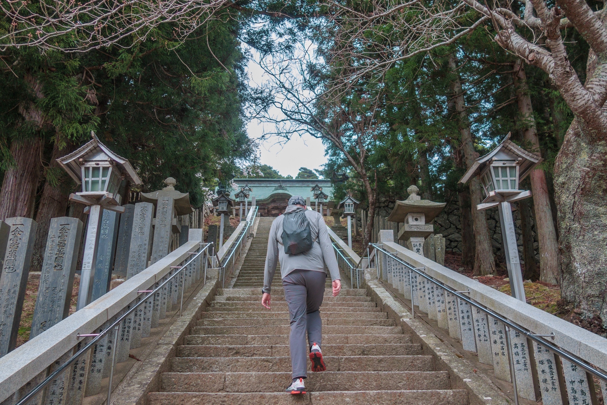
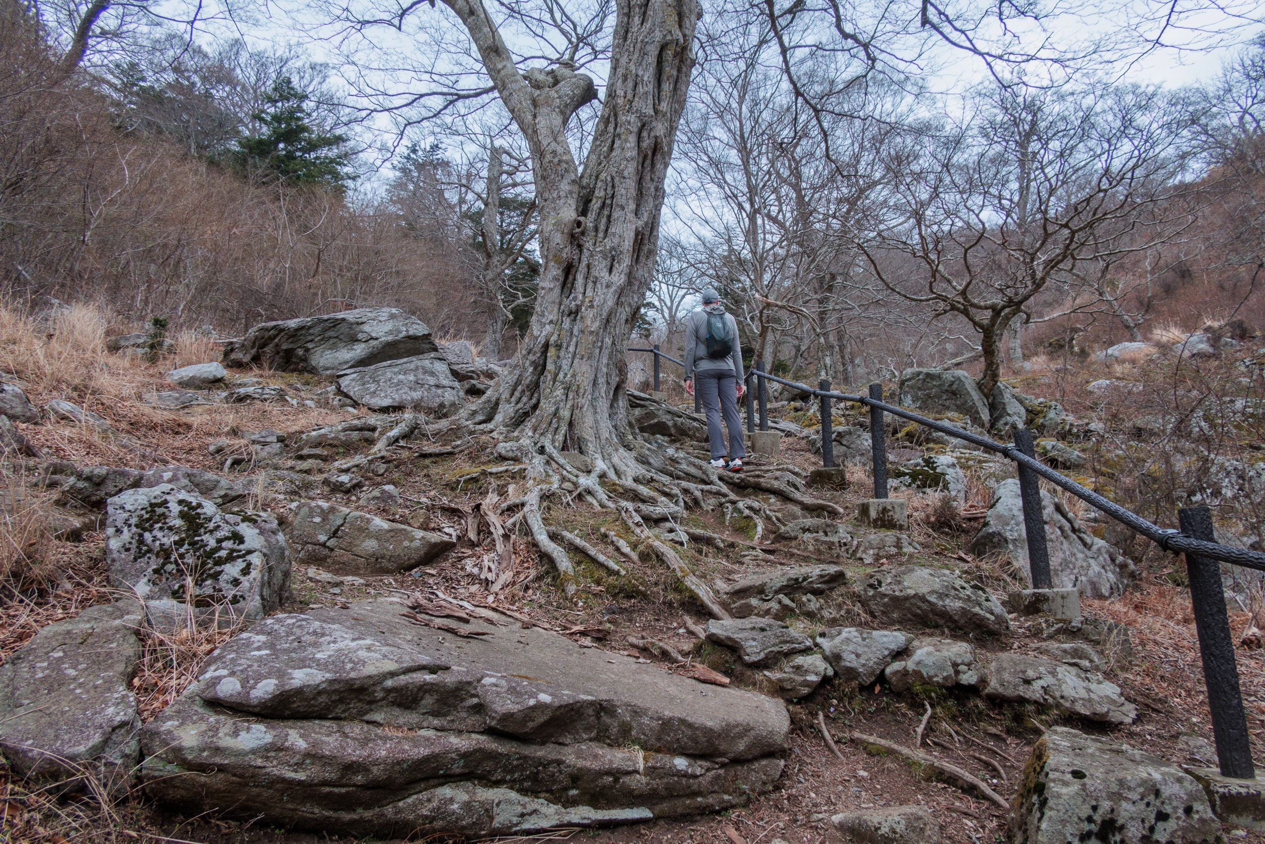
After walking through rows of ancient cedar trees, we reached Kinkasan Koganeyama Shrine.
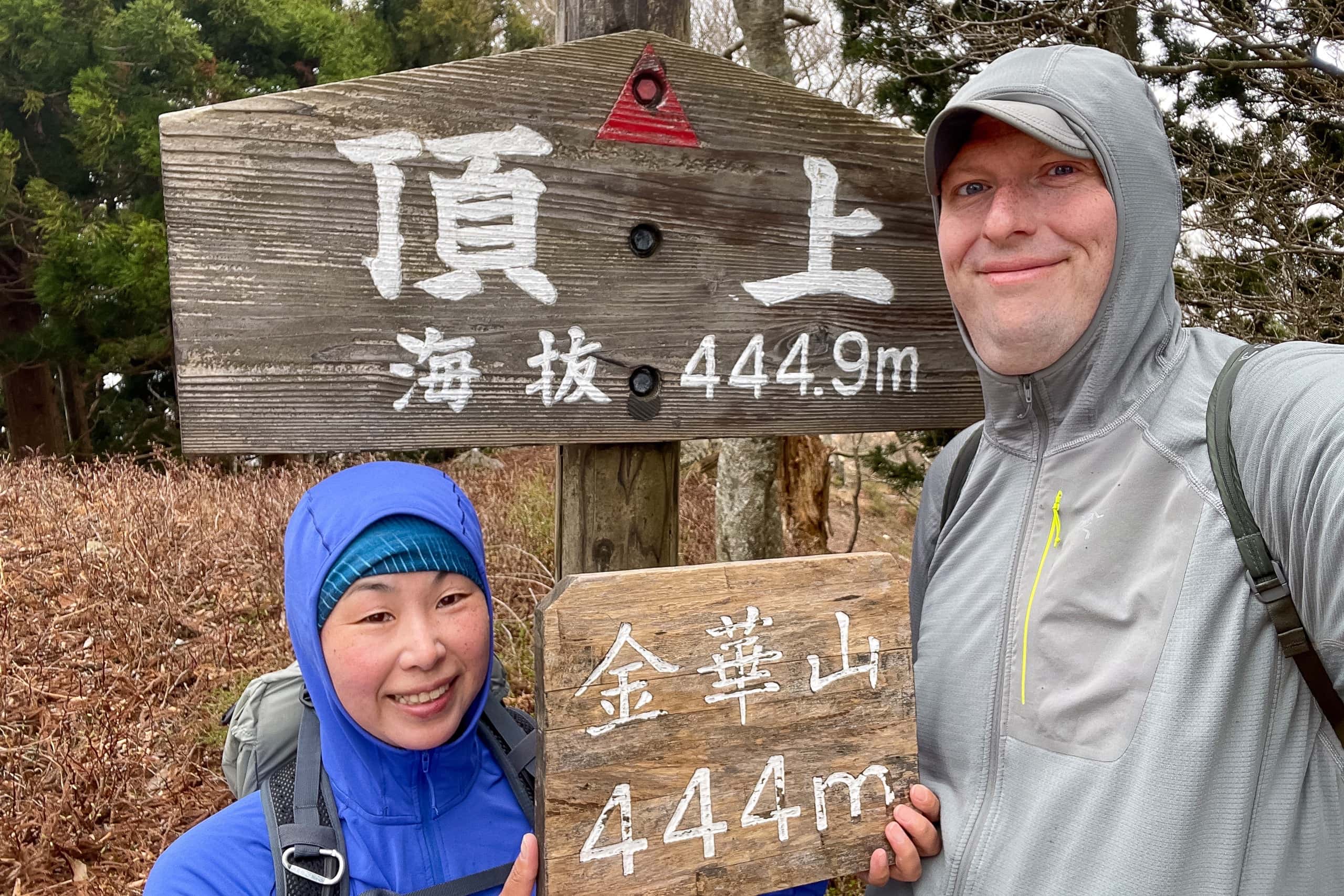
It had already taken more than twenty minutes just to climb from sea level to the shrine. Clearly, one hundred minutes on the island would never be enough for the whole route.
A few visitors wandered near the shrine, and later we passed a small group heading up the trail toward the summit. They must have stayed overnight at the shrine’s lodging.
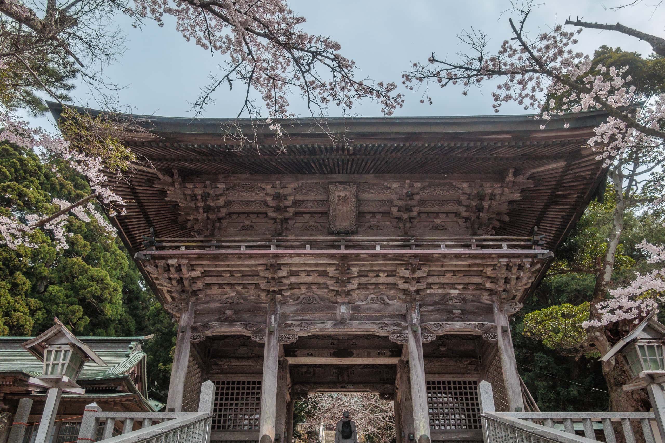
Wanting to finish the mountain trail before the weather changed, we saved exploring the shrine for later and continued past the finely carved buildings and steep stone stairs toward the back of the complex.
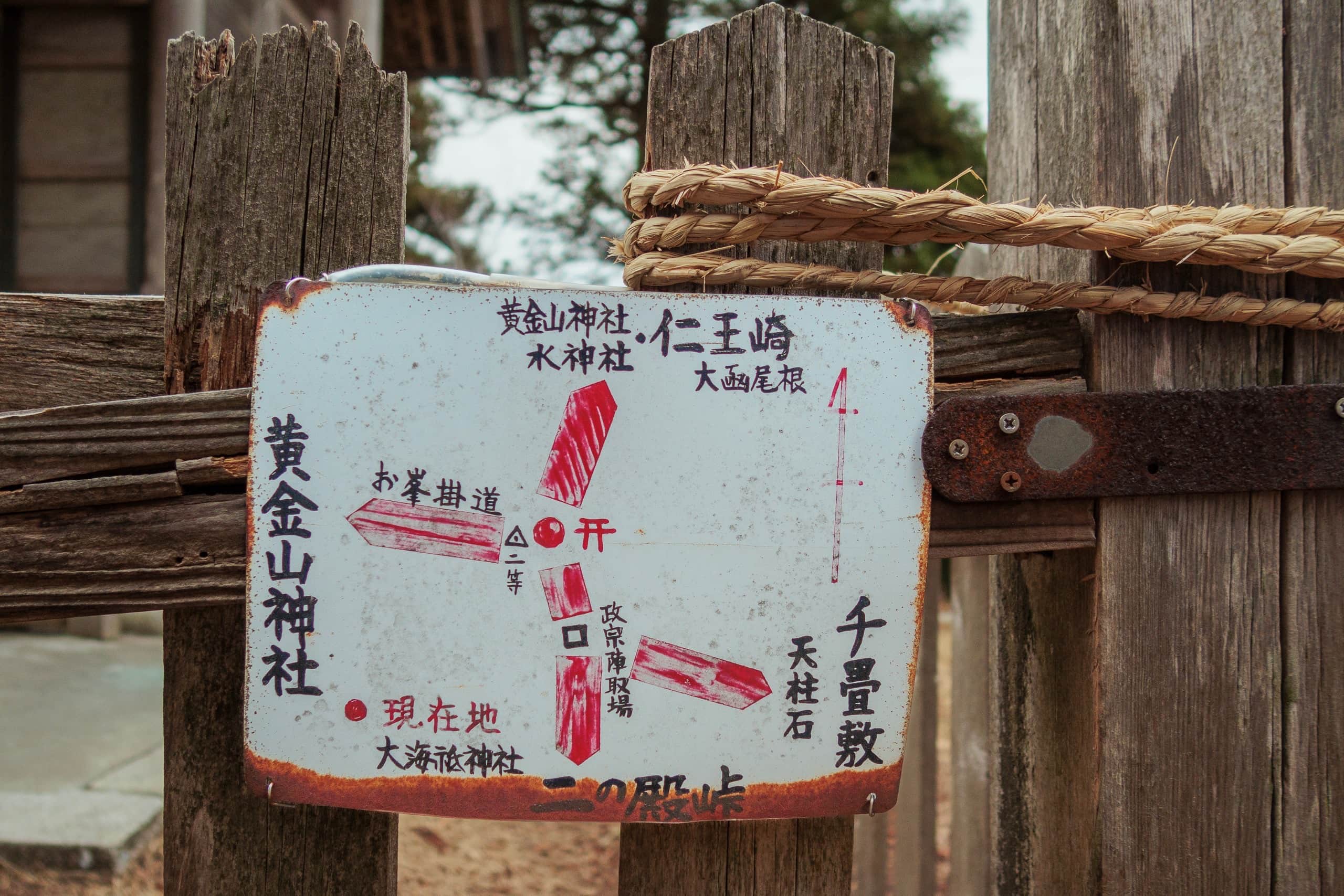
Mt. Kinkasan Loop Trail
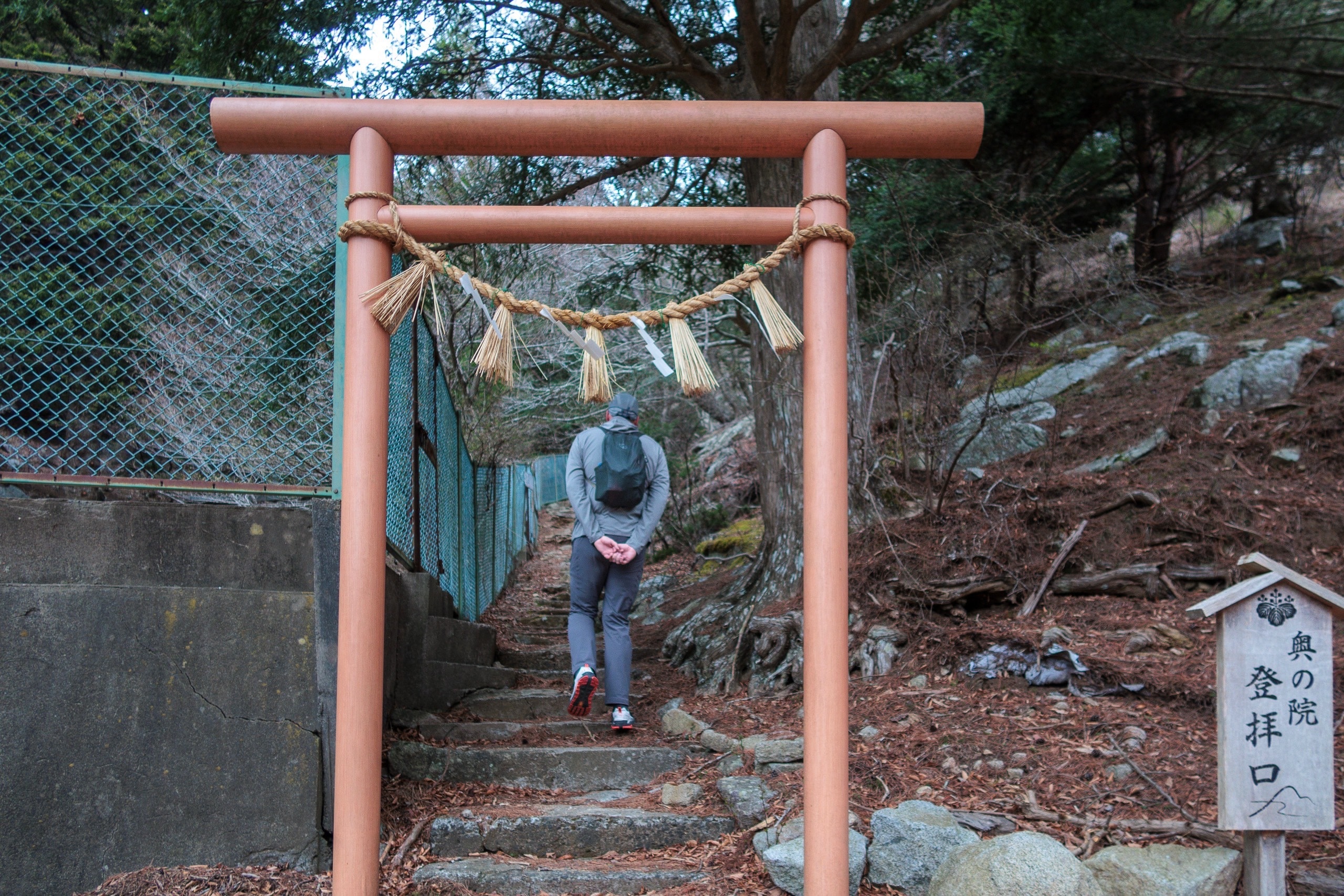
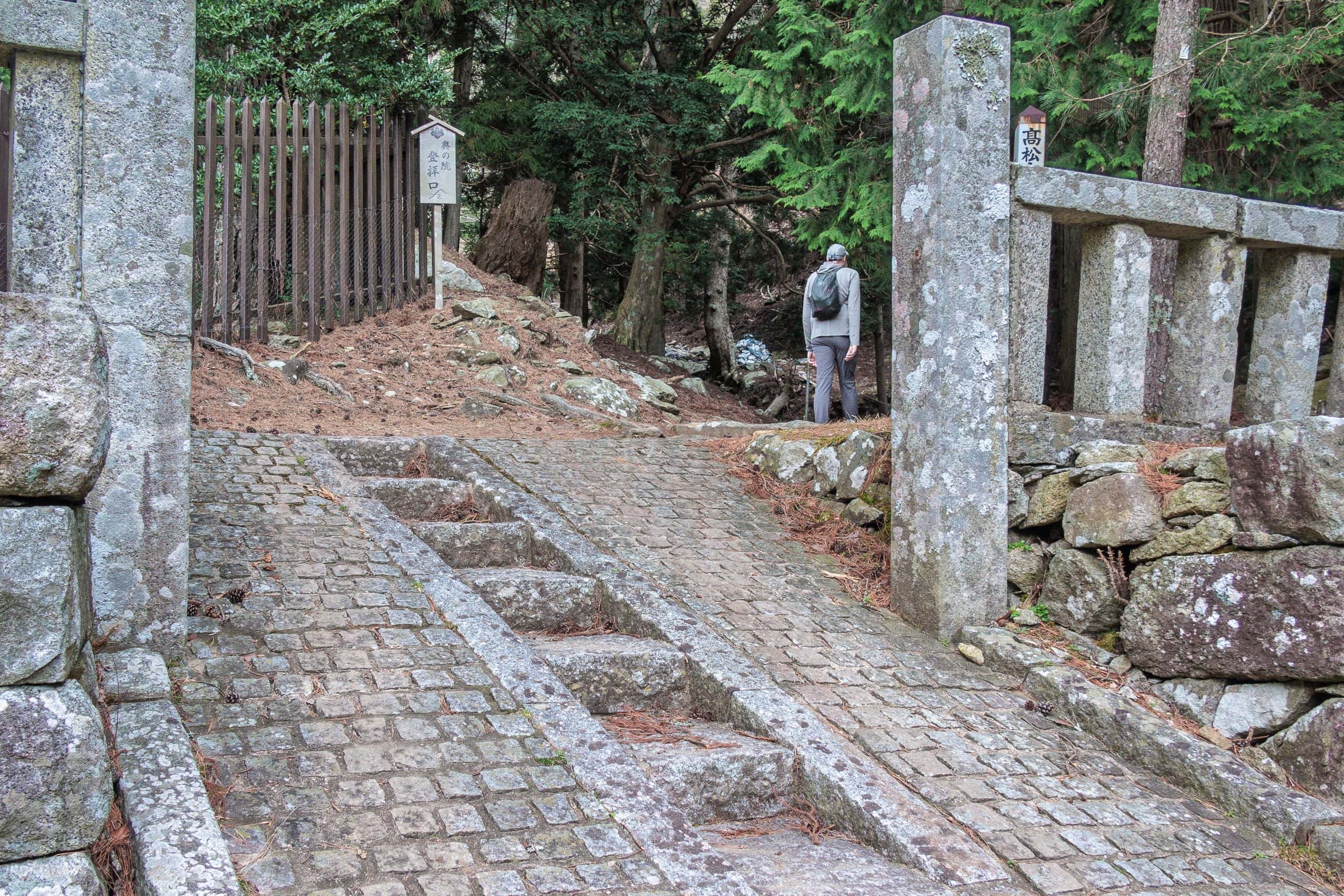
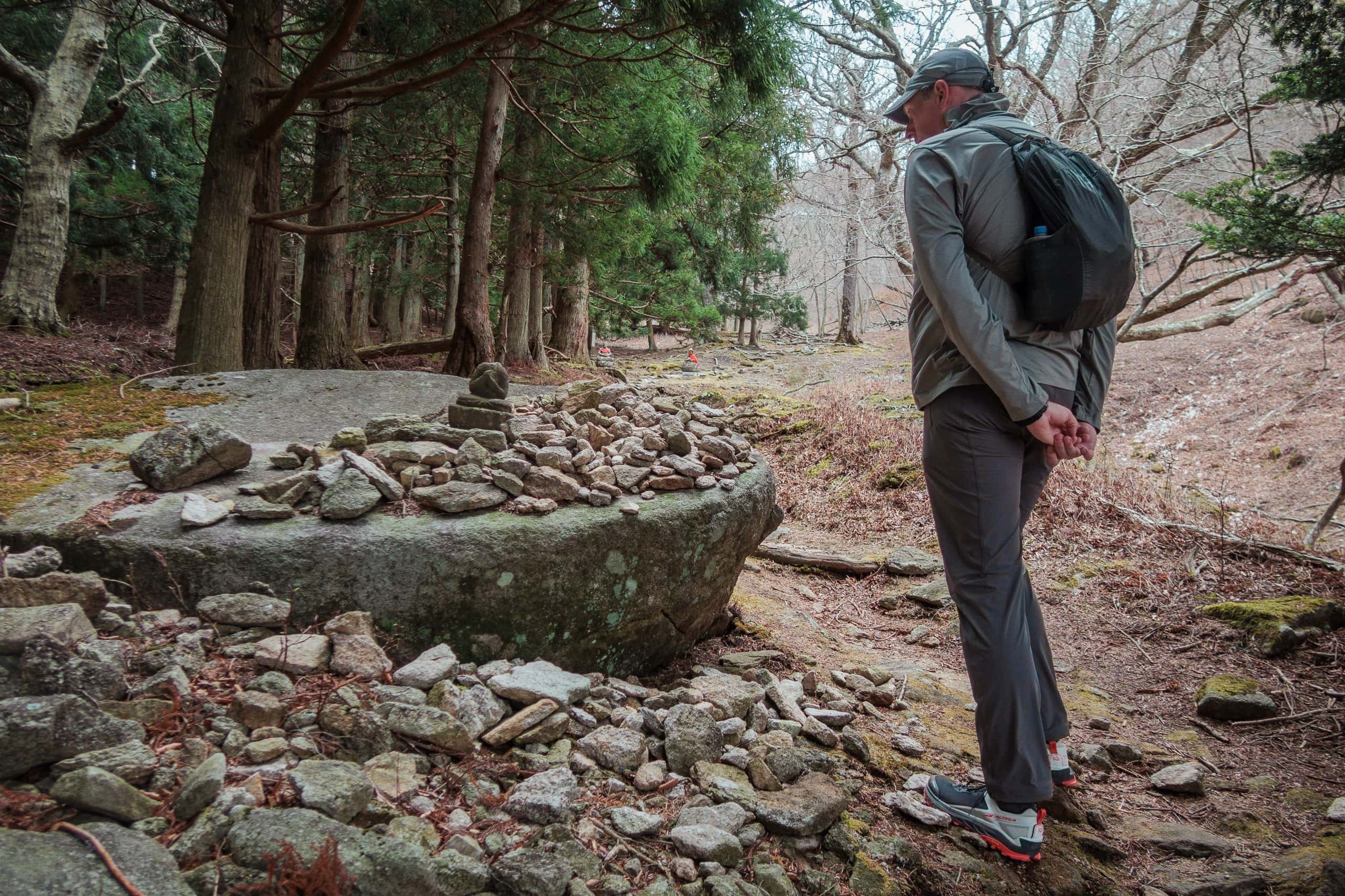
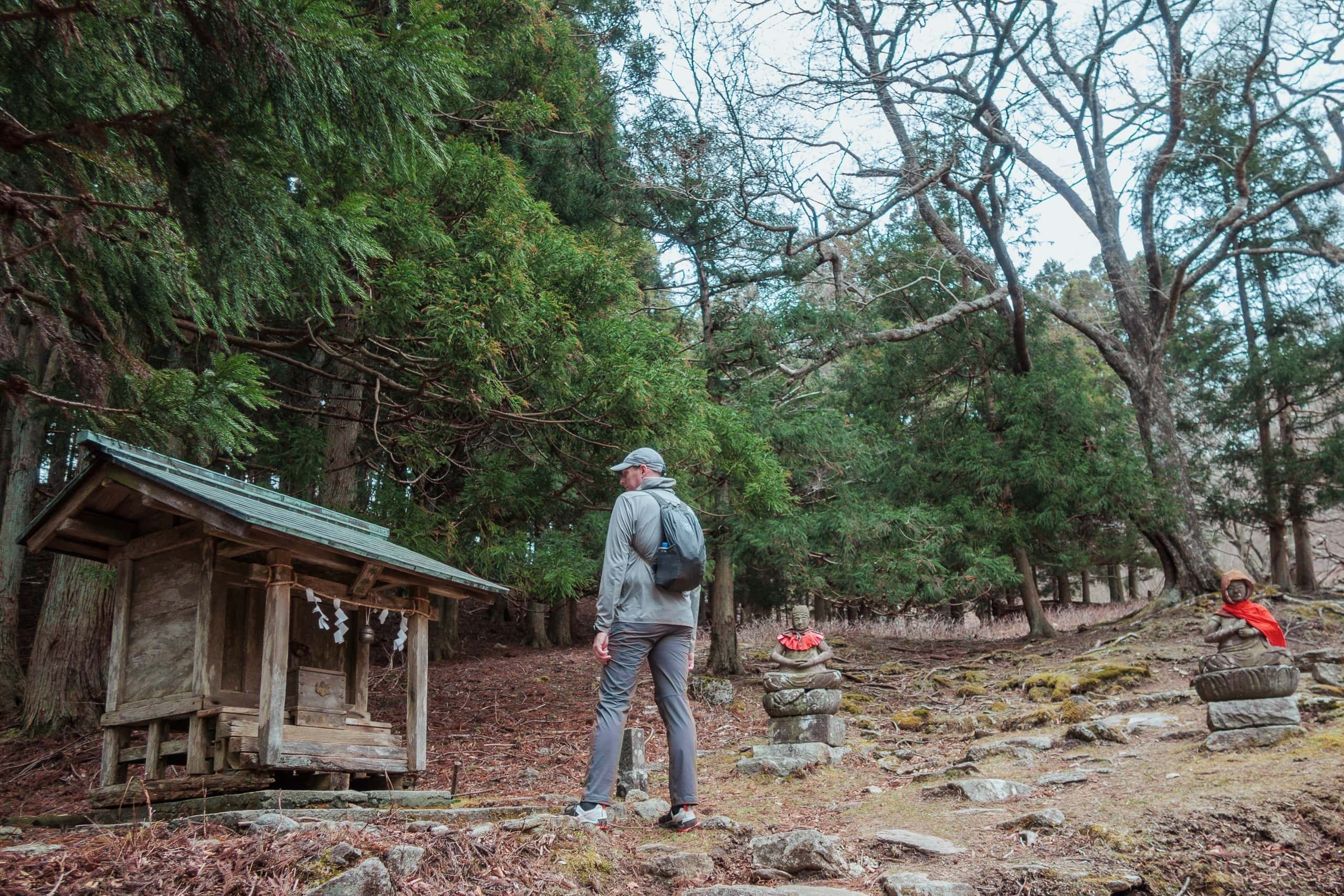
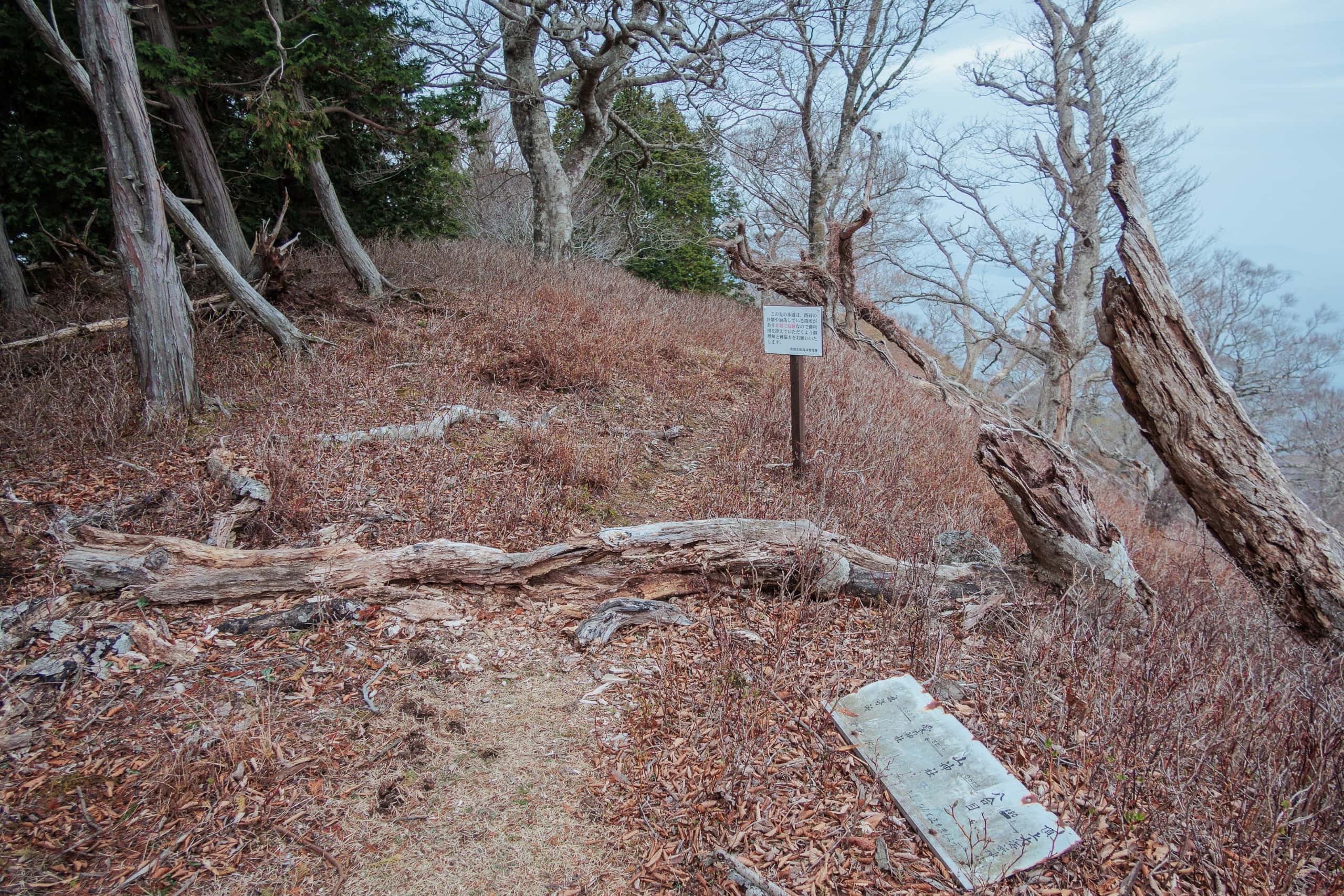
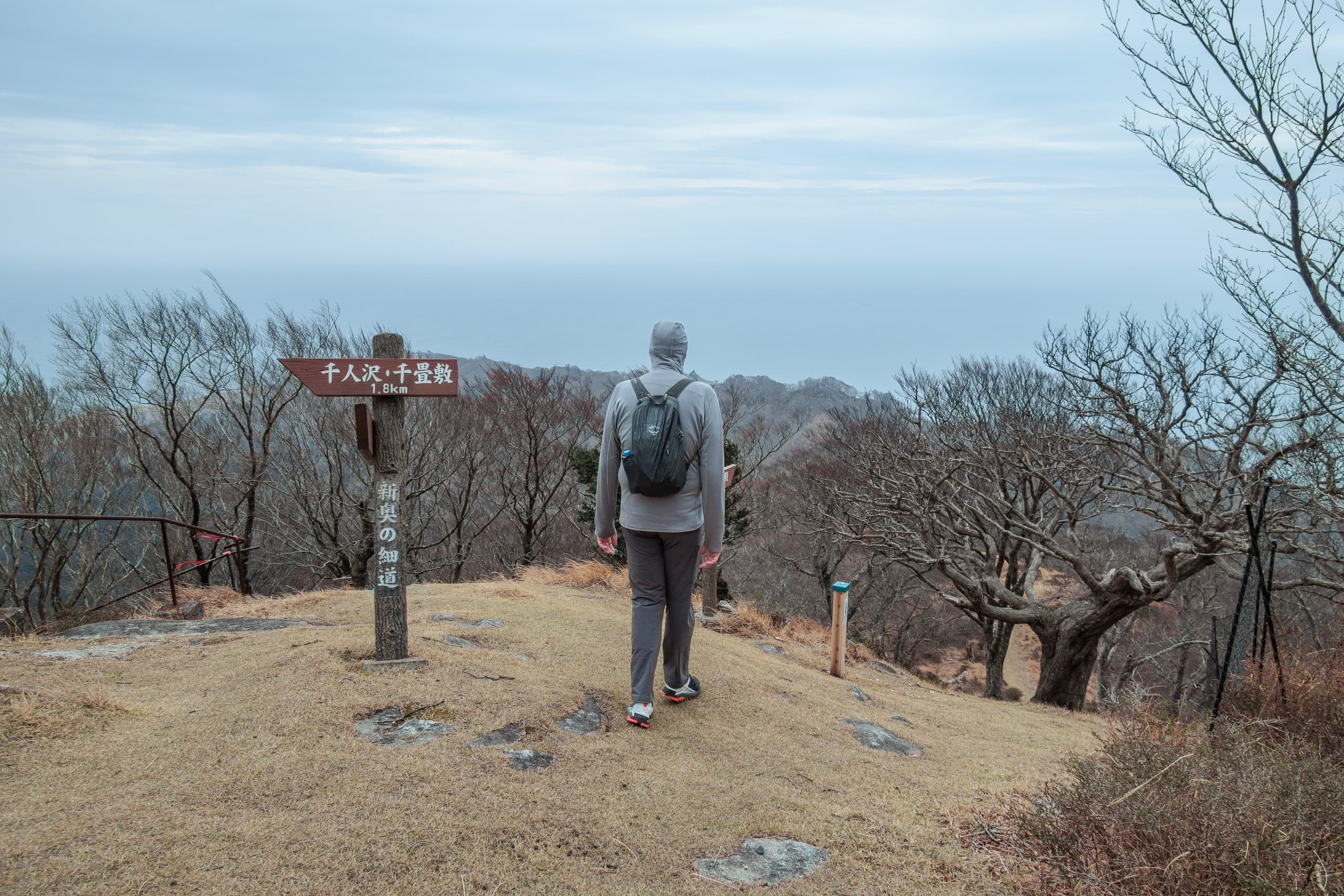
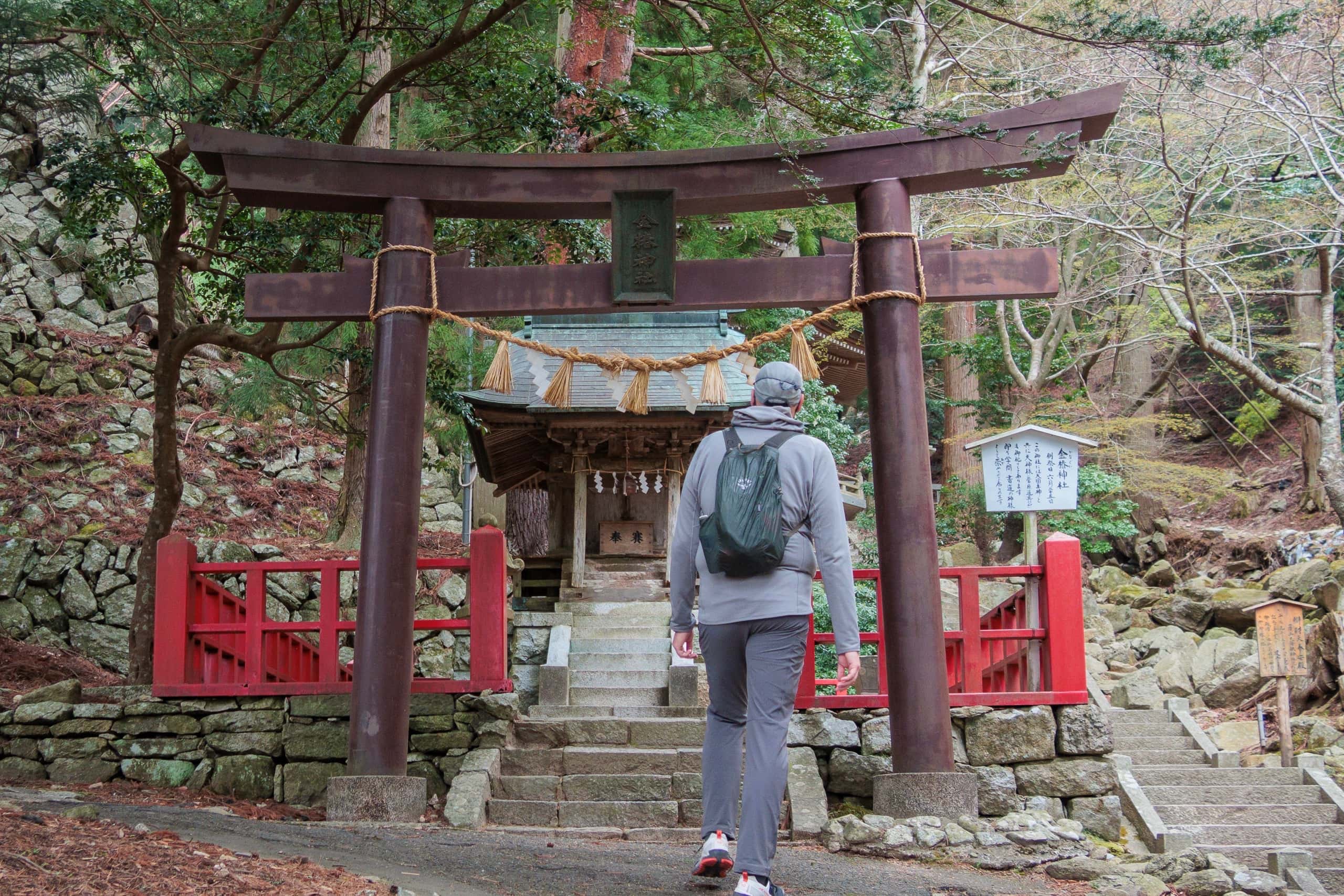
A small, faded vermilion torii marked the entrance to the peak trail. The sign beside it (in Japanese) said this was the trailhead to the Okunoin 奥の院 (inner sanctuary).
The MCT uses two shrine-area trails to reach the Okunoin and links them into a loop. Strictly northbound we should have found the other trailhead and gone counterclockwise, but the historic, commonly used ascent felt more appropriate.
Later we were glad we chose clockwise — this was the right call for the day.
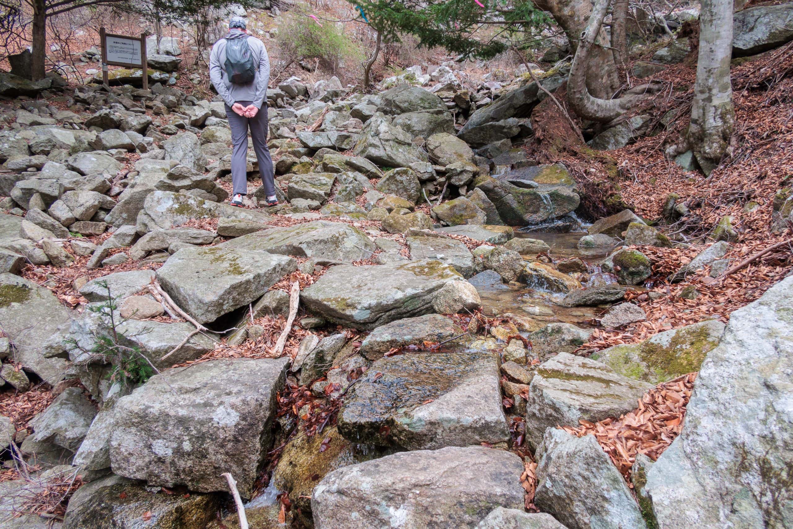
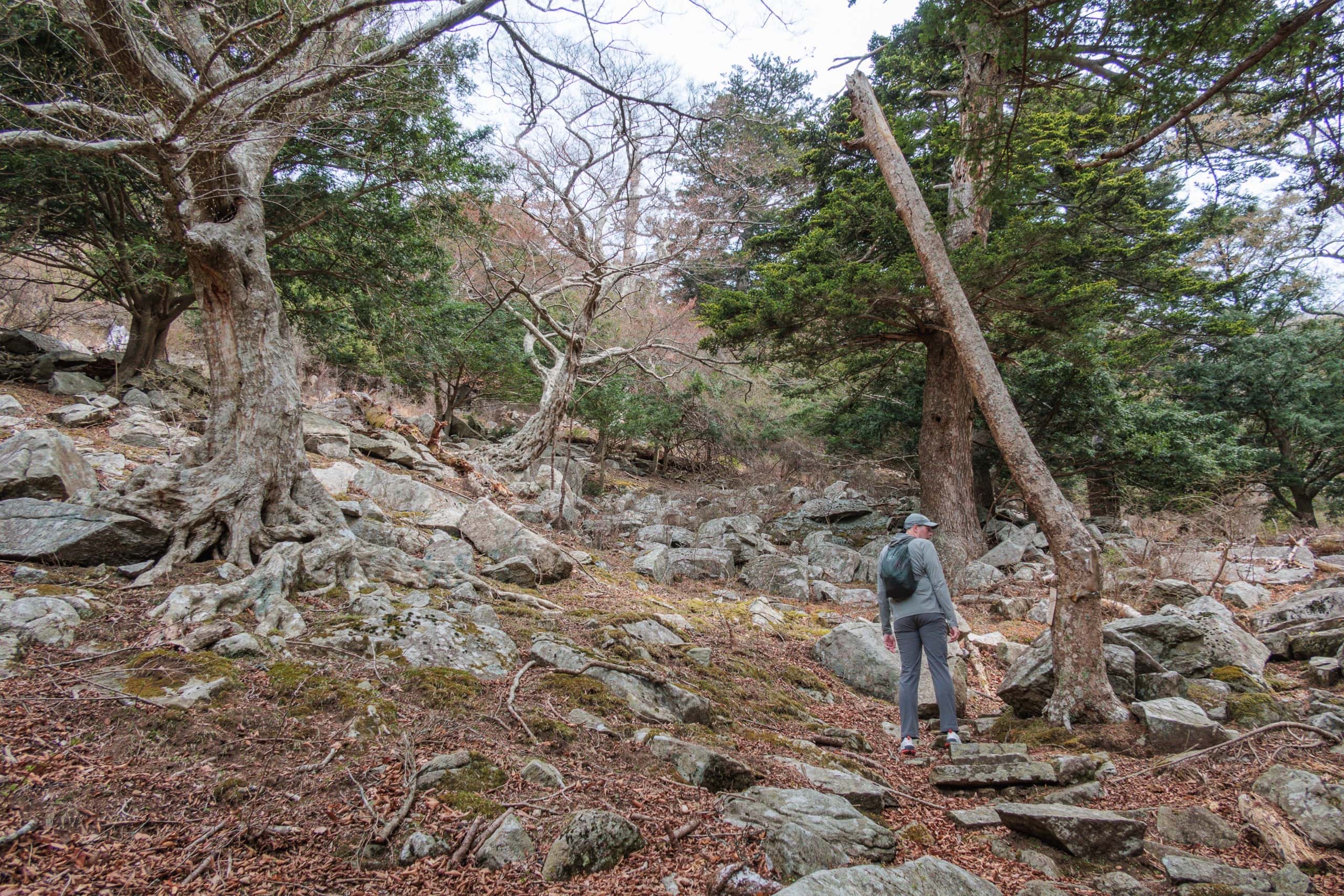
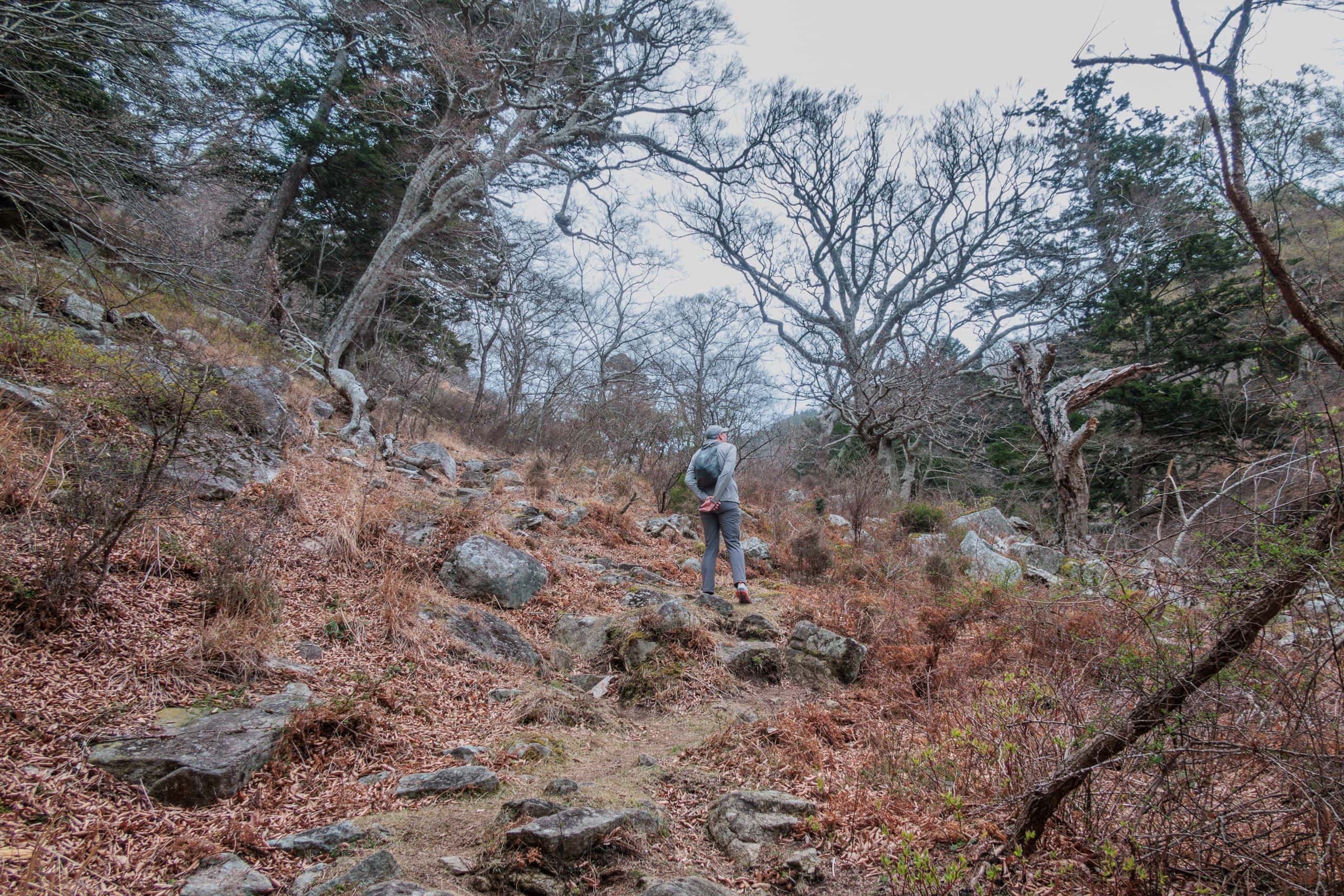
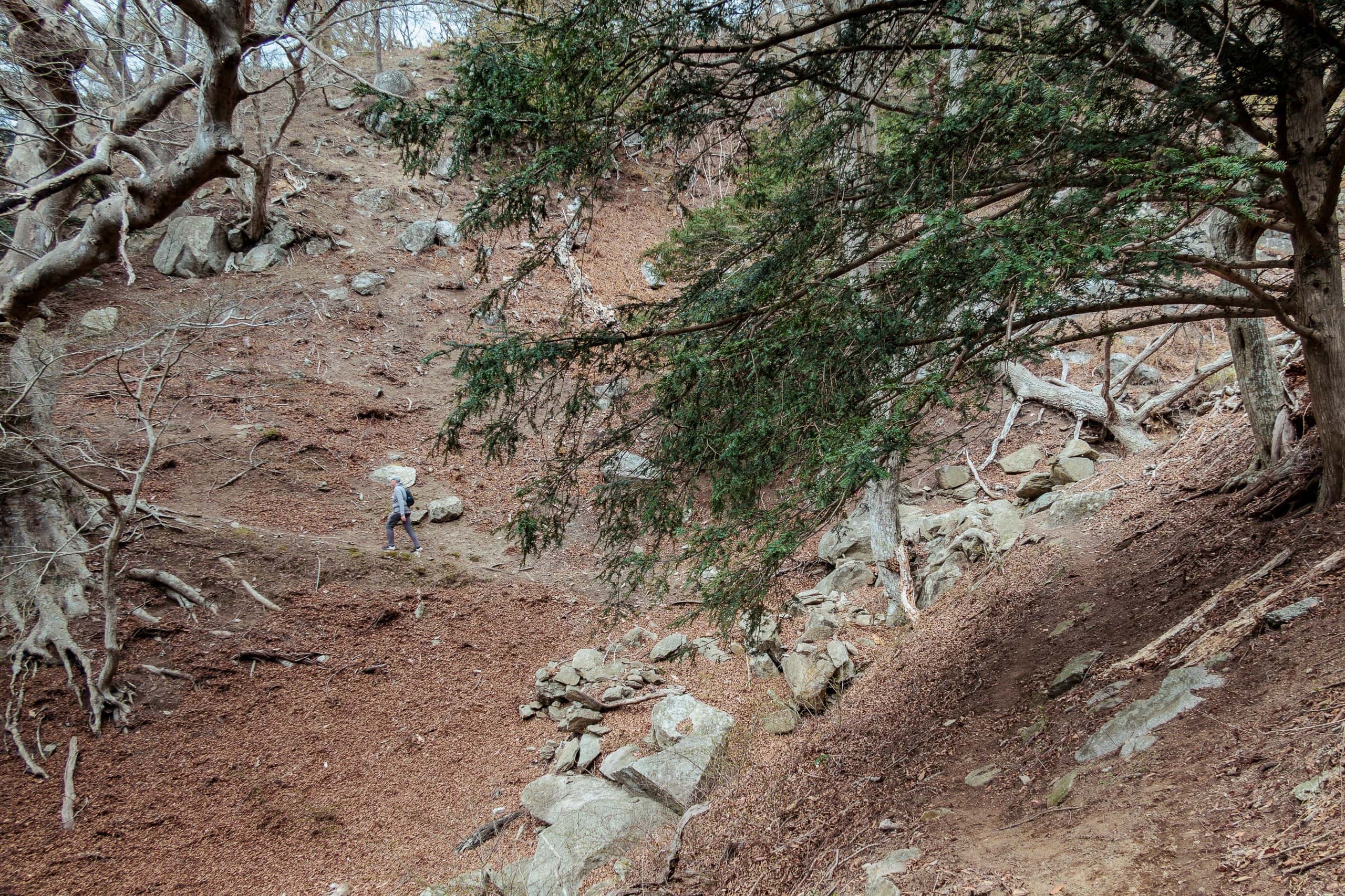
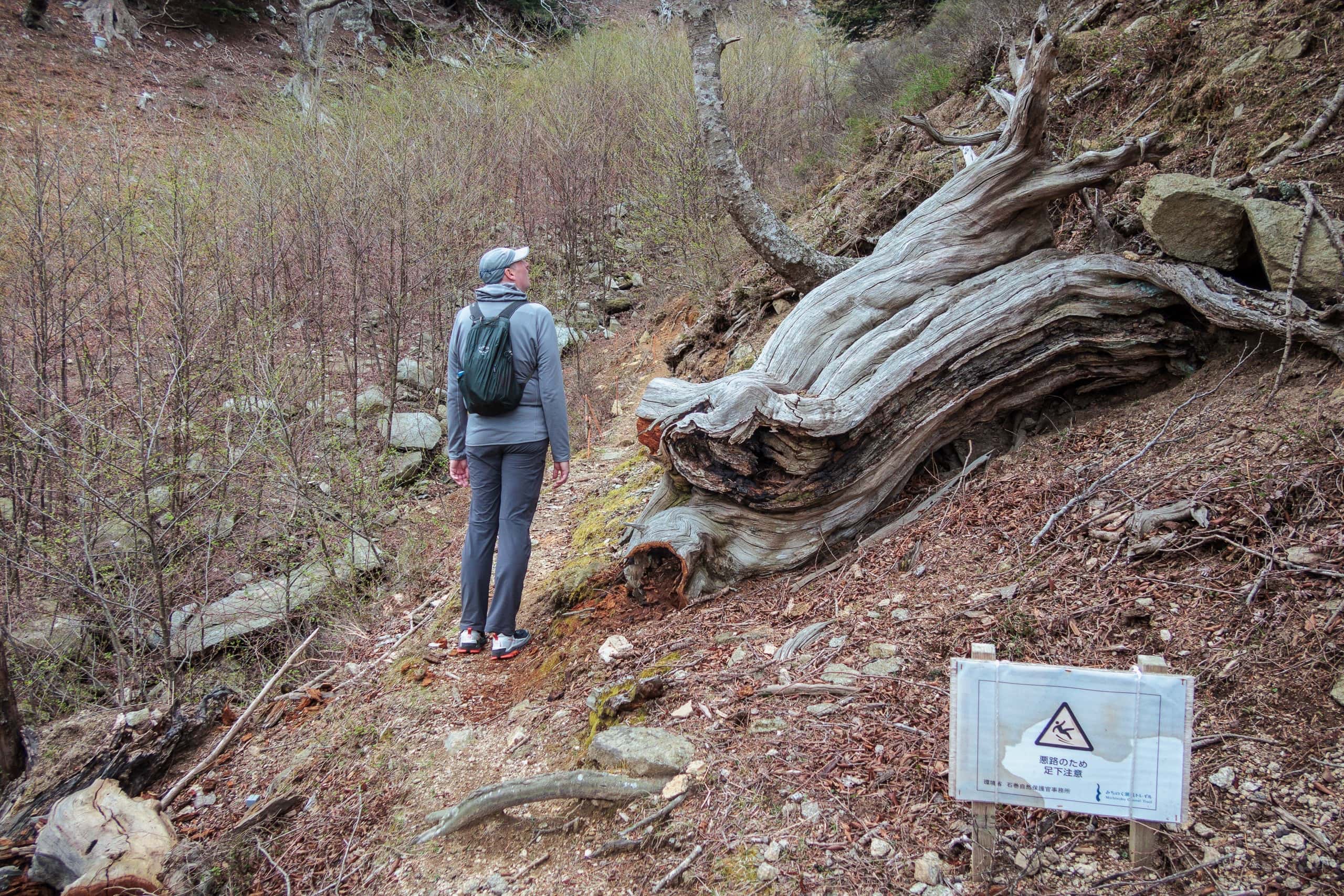
Clouds thickened and a chilly wind brushed our cheeks. The steep path was paved in broken, flat rocks.
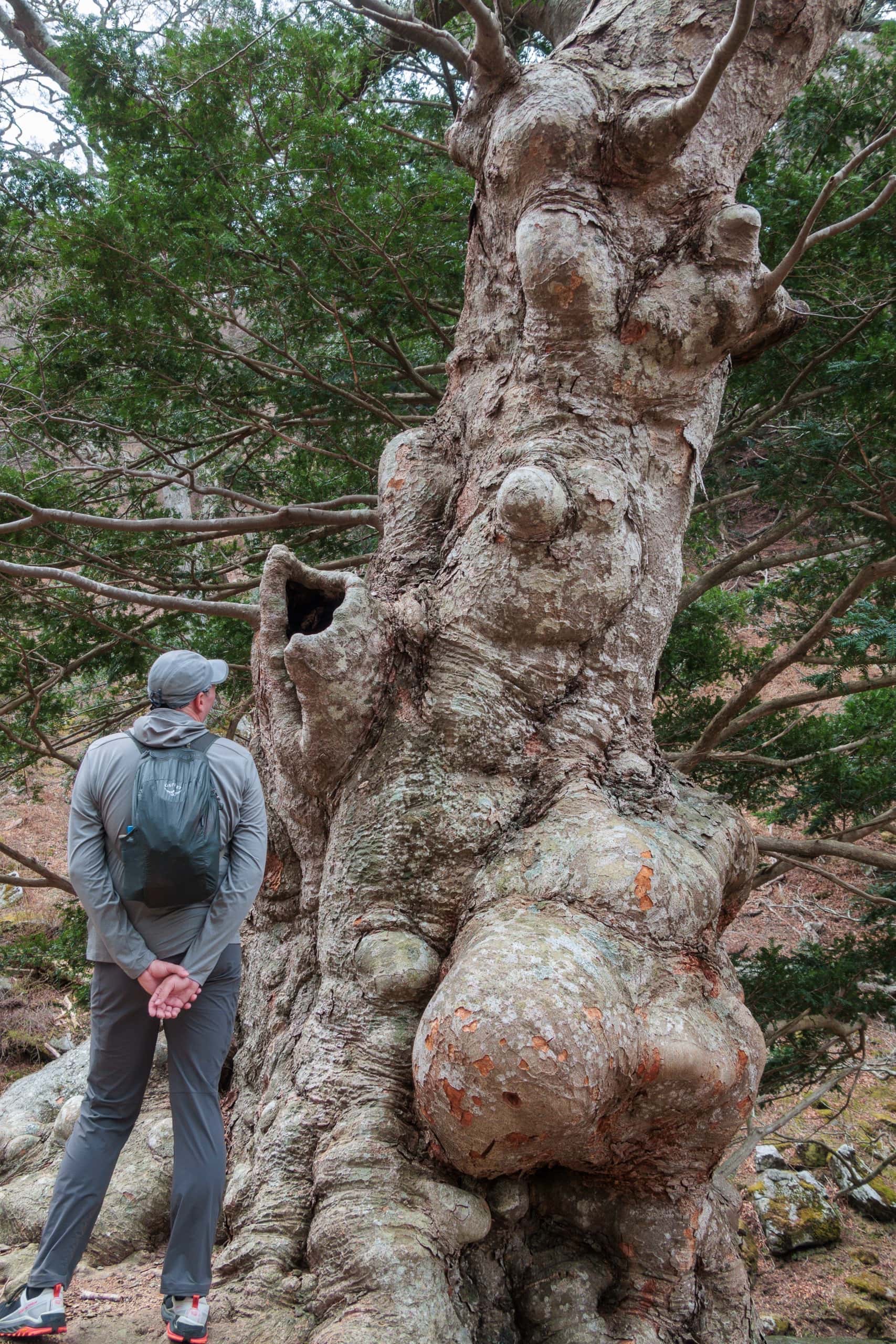
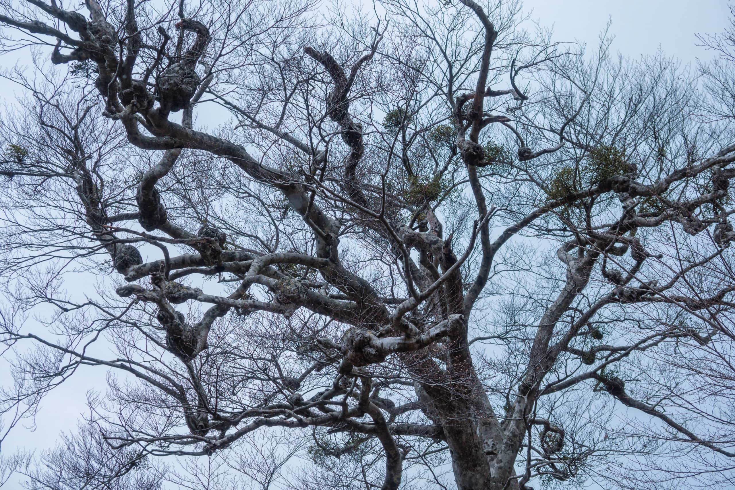
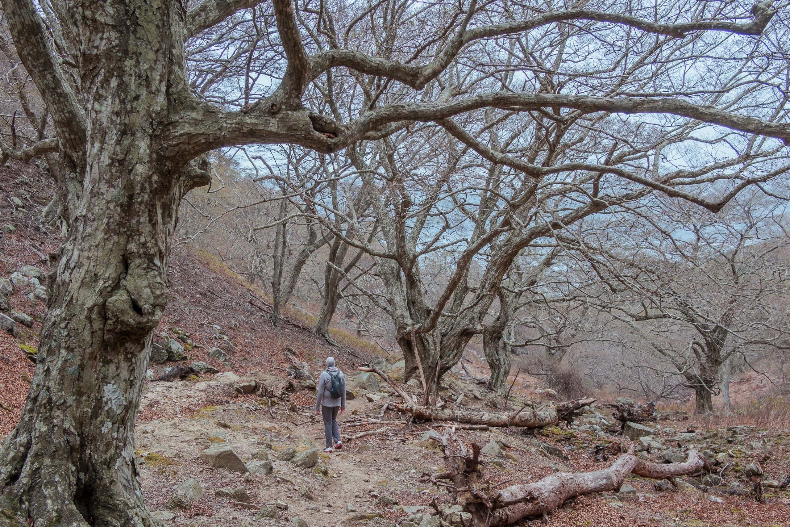
The forest on this side wasn’t dense, but many trees stood on half-bare ground and among rocks, their trunks knotted and gnarled — an eerie scene under the gray, cold sky.
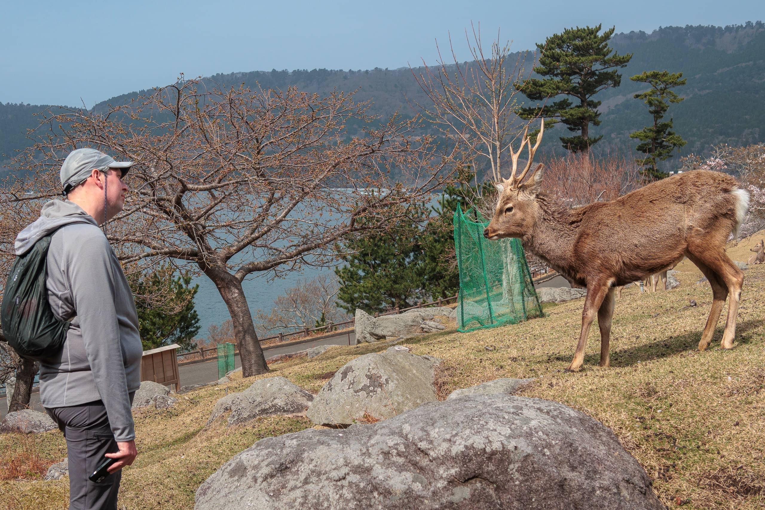
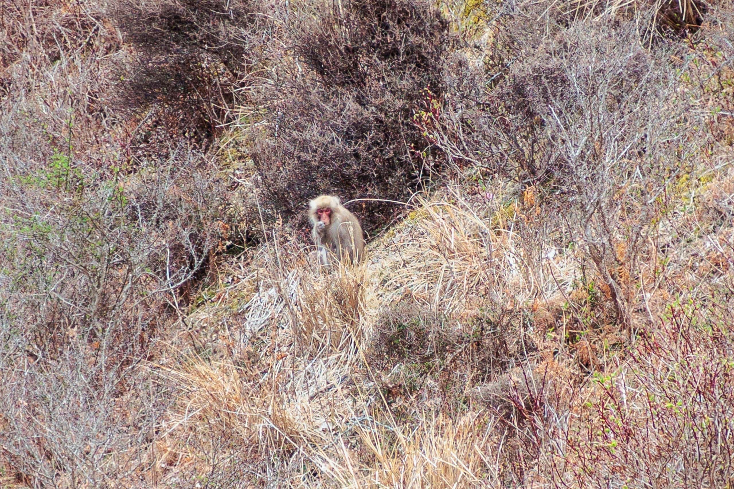
Here and there, deer appeared near the path. We found a clear difference between deer around the shrine and in the mountain how they interact with us.
The shrine-area deer were different — completely relaxed around humans, even edging closer with “snack, please” written in their eyes. When they realized we’d brought no souvenirs, a buck fixed us with a look of clear accusation.
The mountain deer, on the other hand, were cautious and kept their distance. It made us wonder why.
Deer and monkeys here are sacred — messengers of the gods — never chased or hunted. Do they even know dogs exist?
Then again, perhaps some survival instinct picked up our occasional visits to venison restaurants…
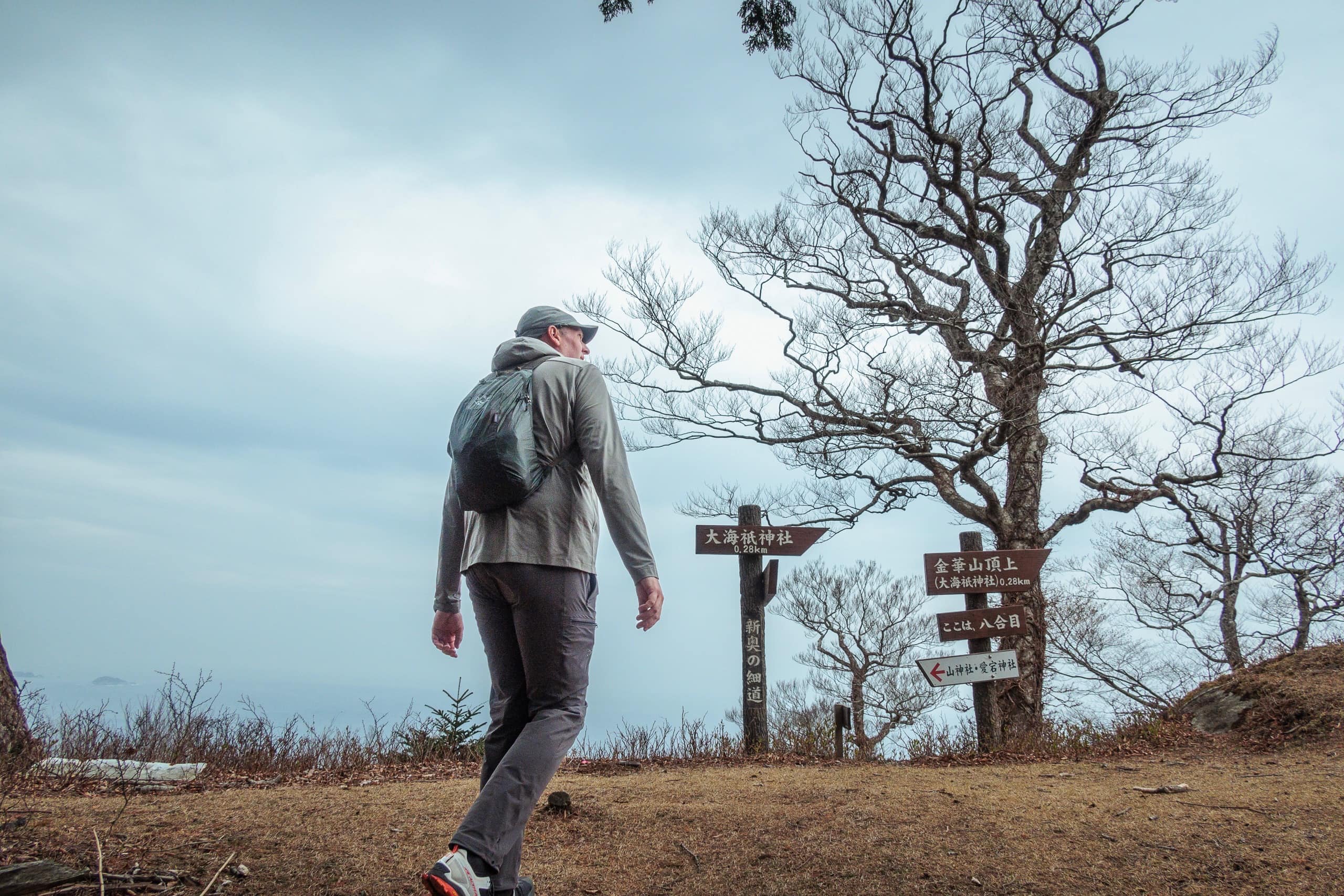
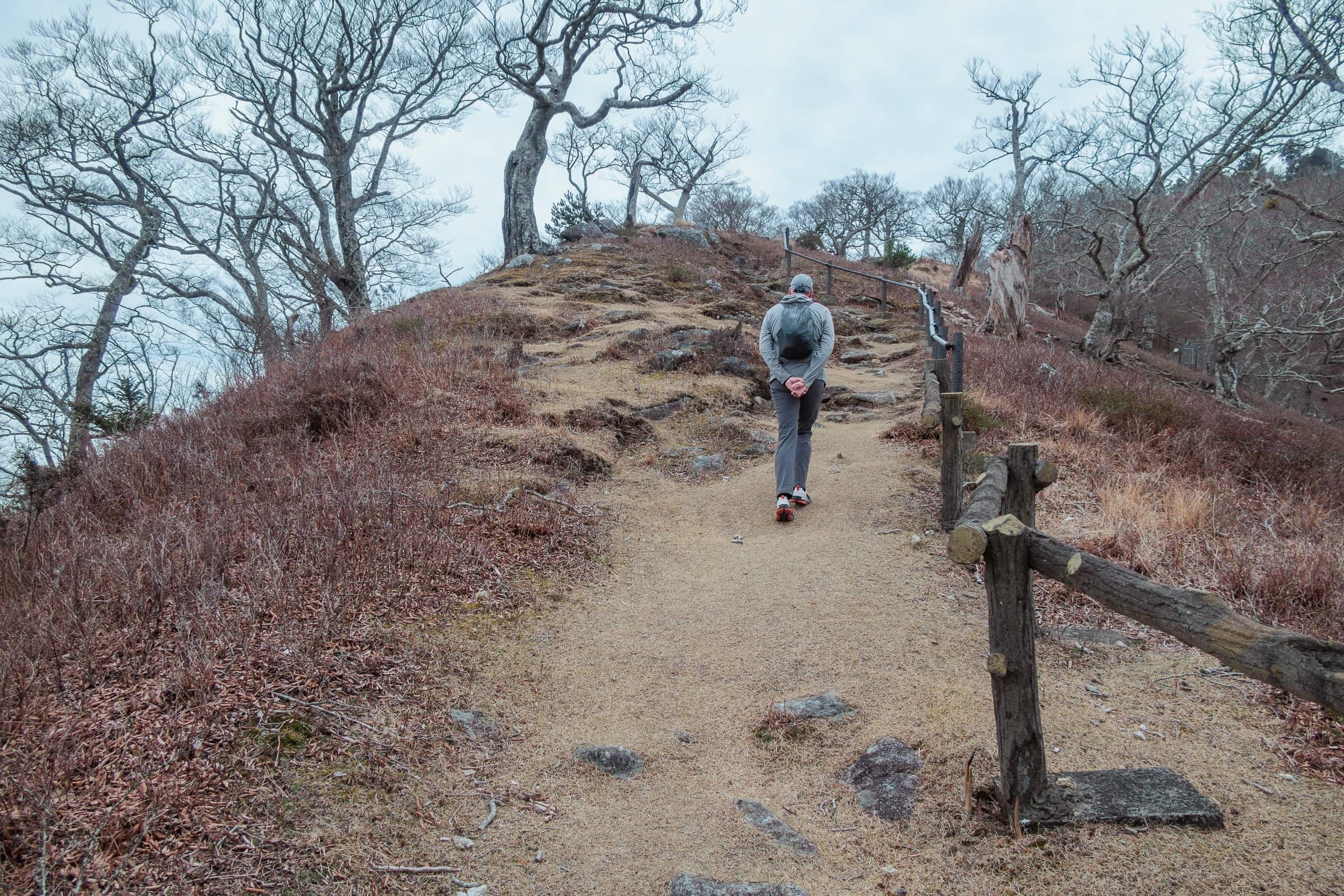
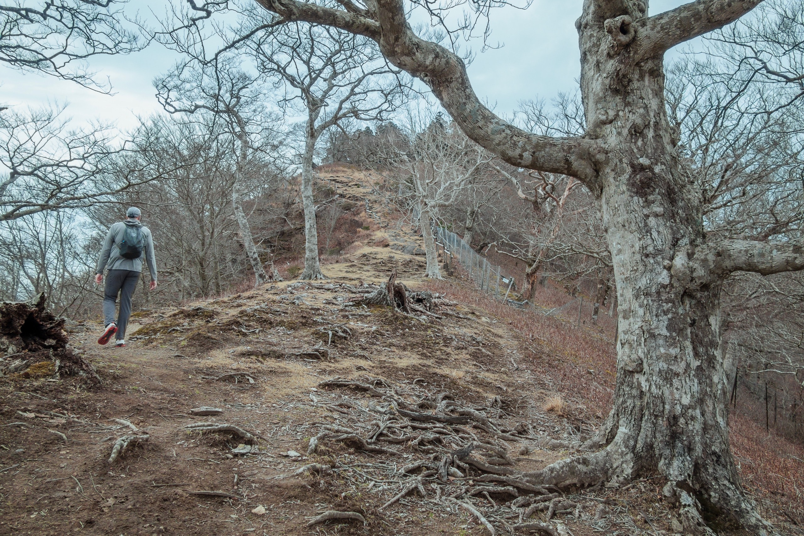
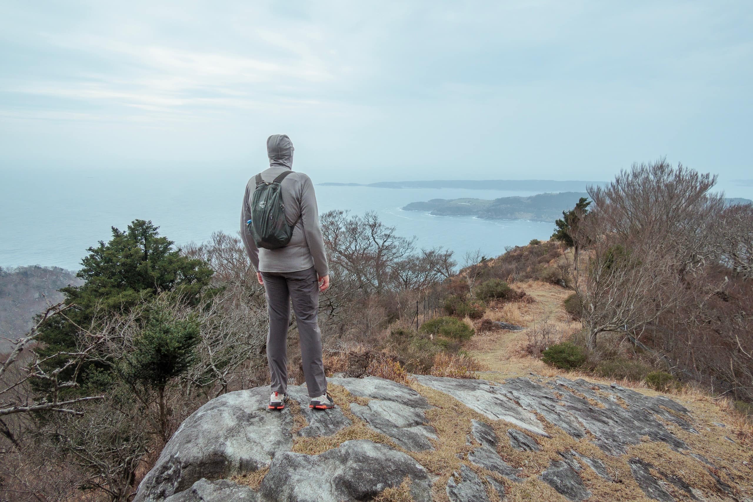
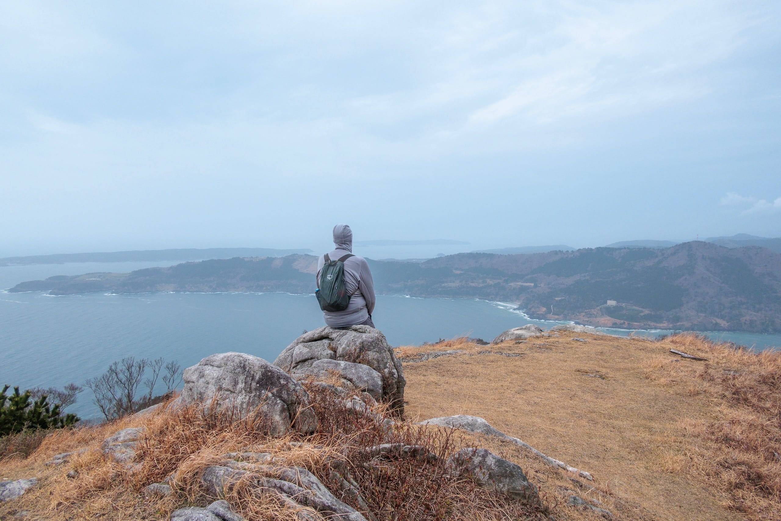
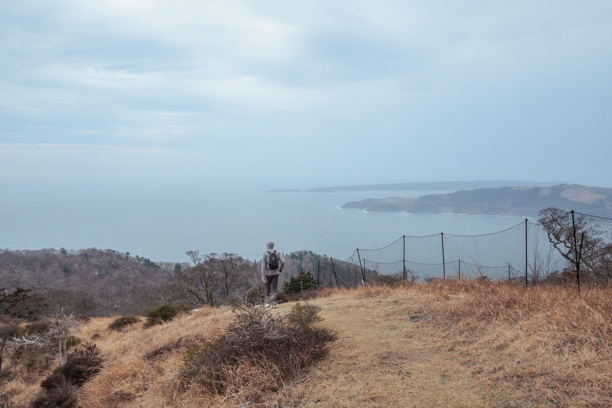
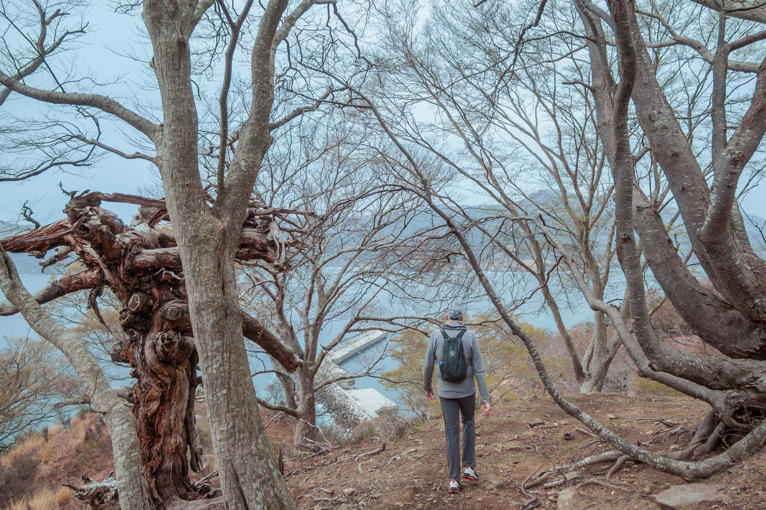
Once on the ridge, the slope eased.
Even at only 444 m, the constant sea winds leave the ridgeline spare and almost leafless. Nothing blocked the views, but distance faded into fog. The wind hit from every direction.
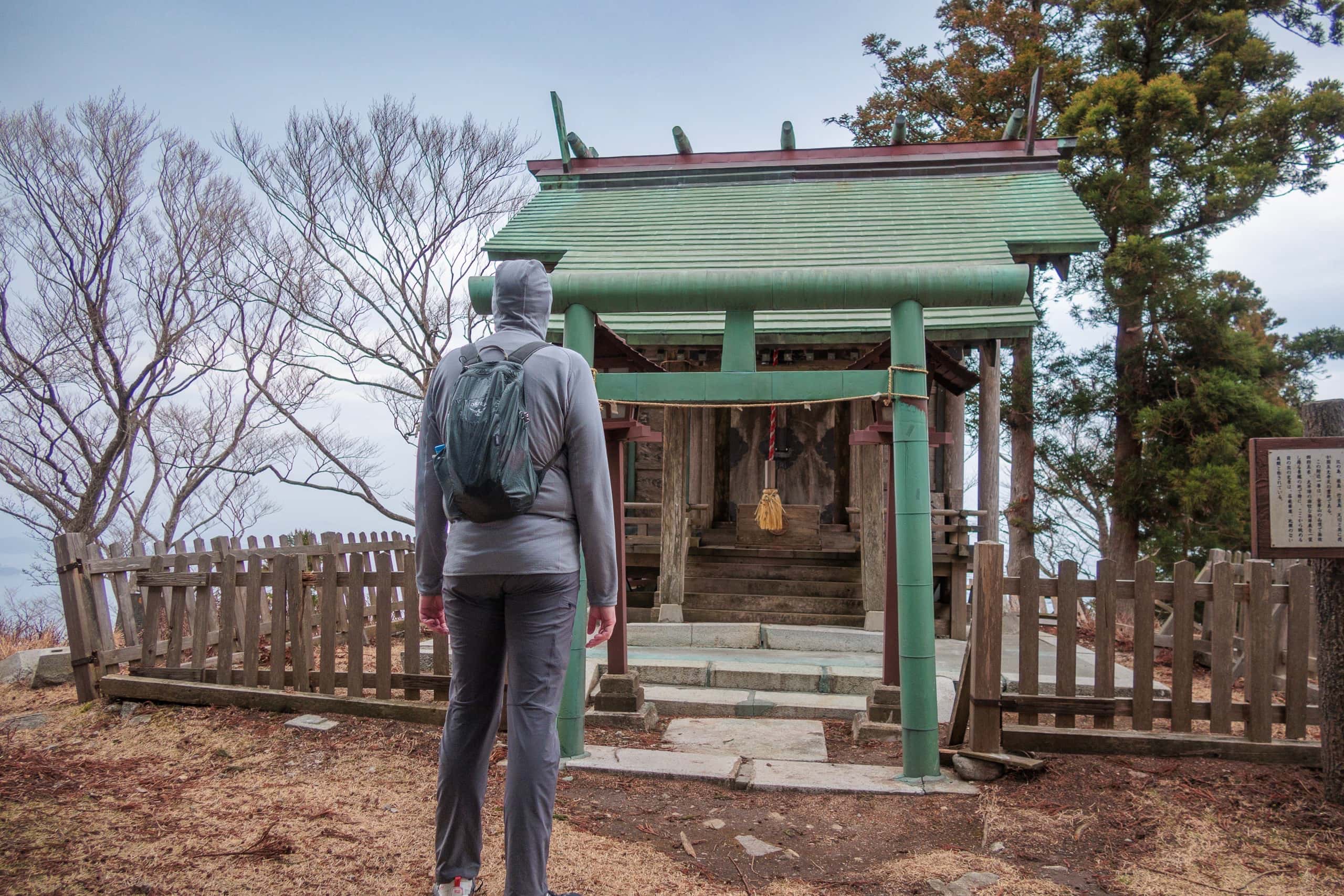
The Okunoin of Koganeyama Shrine — Owadatsumi Jinja 大海祗神社 — was tiny and modest at the summit, enshrining multiple deities, including gods of sea and wind.
It was cold, so we didn’t linger. Rather than dig out jackets, we started down.
A sign pointed to a trail descending to a wave-cut rock terrace on the far side.
Tempting — but one-way 1.8 km meant 3.6 km extra, dropping to sea level over there, climbing back to the peak, then descending again to this side. Even with fine weather and more time, those terraces didn’t seem worth two full up-and-downs.
There we spotted our first MCT marker on the island, pointing to a steep descent opposite our ascent. The down felt long. We were very glad we weren’t coming up this way.
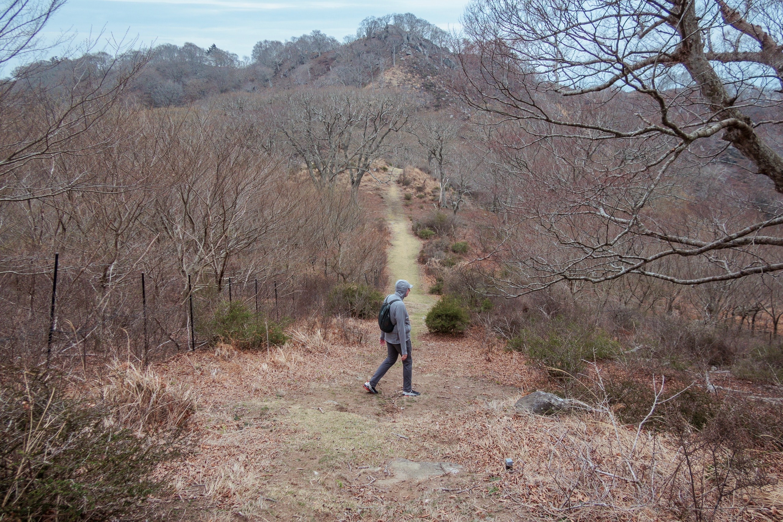
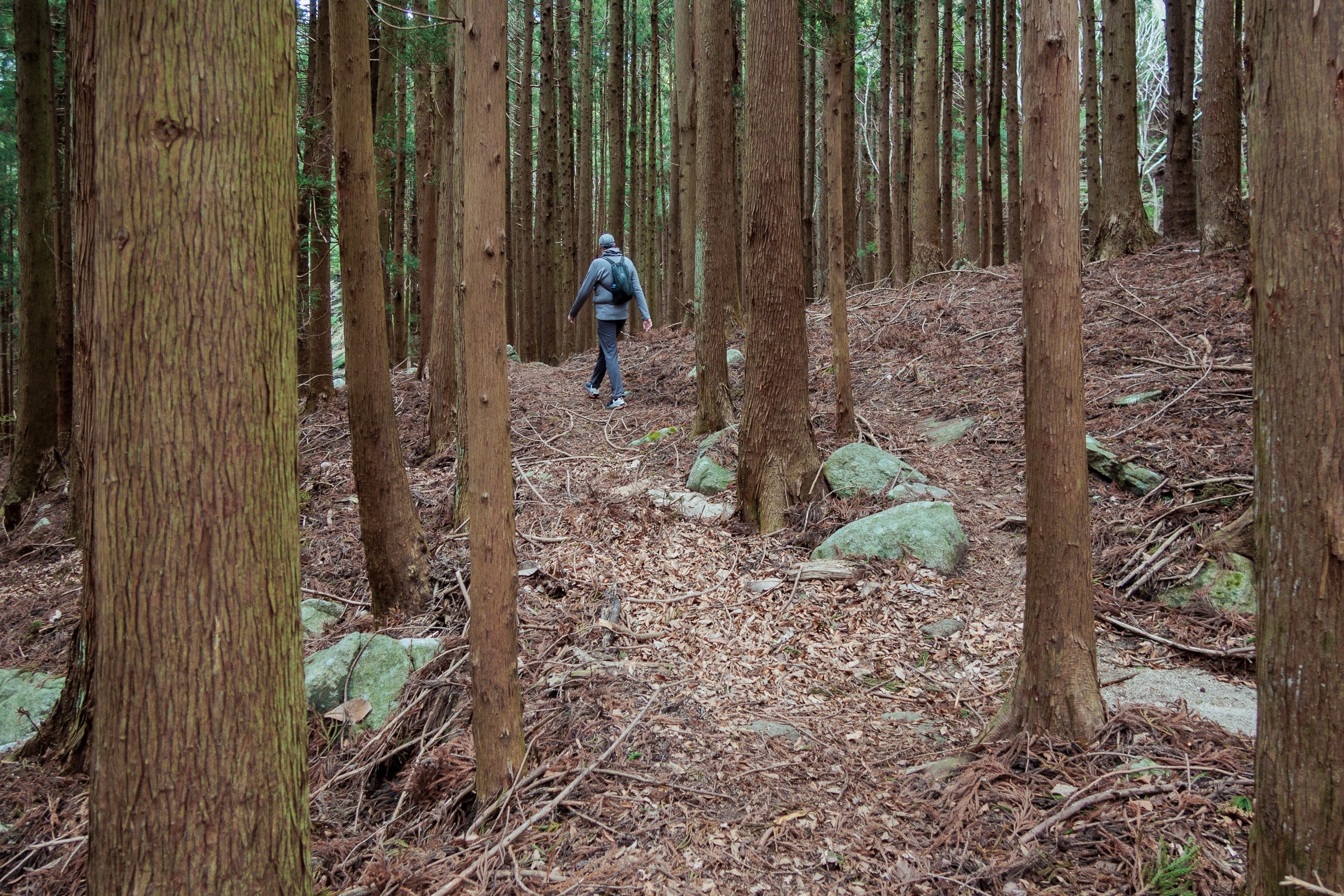
Eventually the trail bent off the ridge into another creepy little forest.
A few monkeys sat and shuffled behind dry tussocks. What do they find to eat on such limited ground?
The right-hand (south) descent is much longer than the left. Had we gone counterclockwise, we’d have faced a longer uphill and a sharper, rockier down.
On the final traverse — contouring at the shrine’s elevation — we saw the regular ferry heading back toward Ayukawa across the water.
Since landing, we’d kept a normal, comfortable pace with light daypacks and no long breaks. And still, we hadn’t made it back to the main shrine.
Kinkasan Koganeyama Shrine
Back at the shrine, we found many visitors taking photos with the friendly deer. They must have come on the later ferry from Onagawa, which arrives and departs an hour after the Ayukawa ferry.
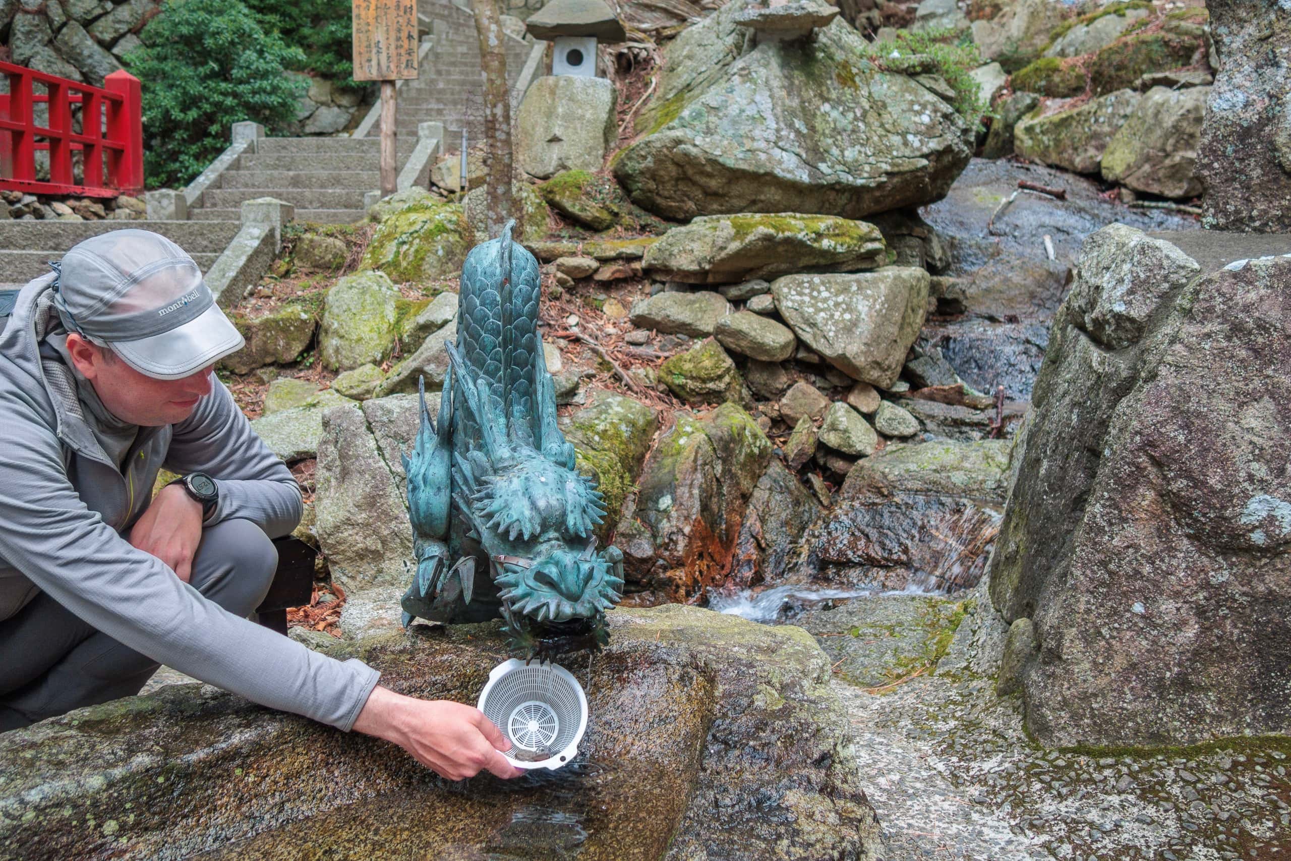
After receiving another silent, accusing stare at our empty hands from a few fawns, we stopped by the small shrine dedicated to the goddess Benzaiten 辯財天 / 弁財天, near a clear mountain stream — probably the most popular spot in the Koganeyama Shrine grounds.
Like other visitors, we dropped the coins from our wallets into a small strainer and washed them in the flowing water.
People believe that by doing so, the money multiplies. We didn’t dare try washing paper bills, but a young couple on a date boldly rinsed a ¥10,000 note with full faith.
As we walked down toward the ferry landing, the rain began.
We had told our sea taxi in the morning that we expected to finish by 1 or 2 p.m. When we returned to sea level at 1:10 p.m., our boat was already waiting. Crew members from the Onagawa ferry team were also gathering for their regular 1:30 p.m. departure.
The sea looked much rougher now. Our boat leapt over the waves, bouncing hard as we sped away from Kinkasan, my seat thumping like another roller coaster — but this time, I was smiling.
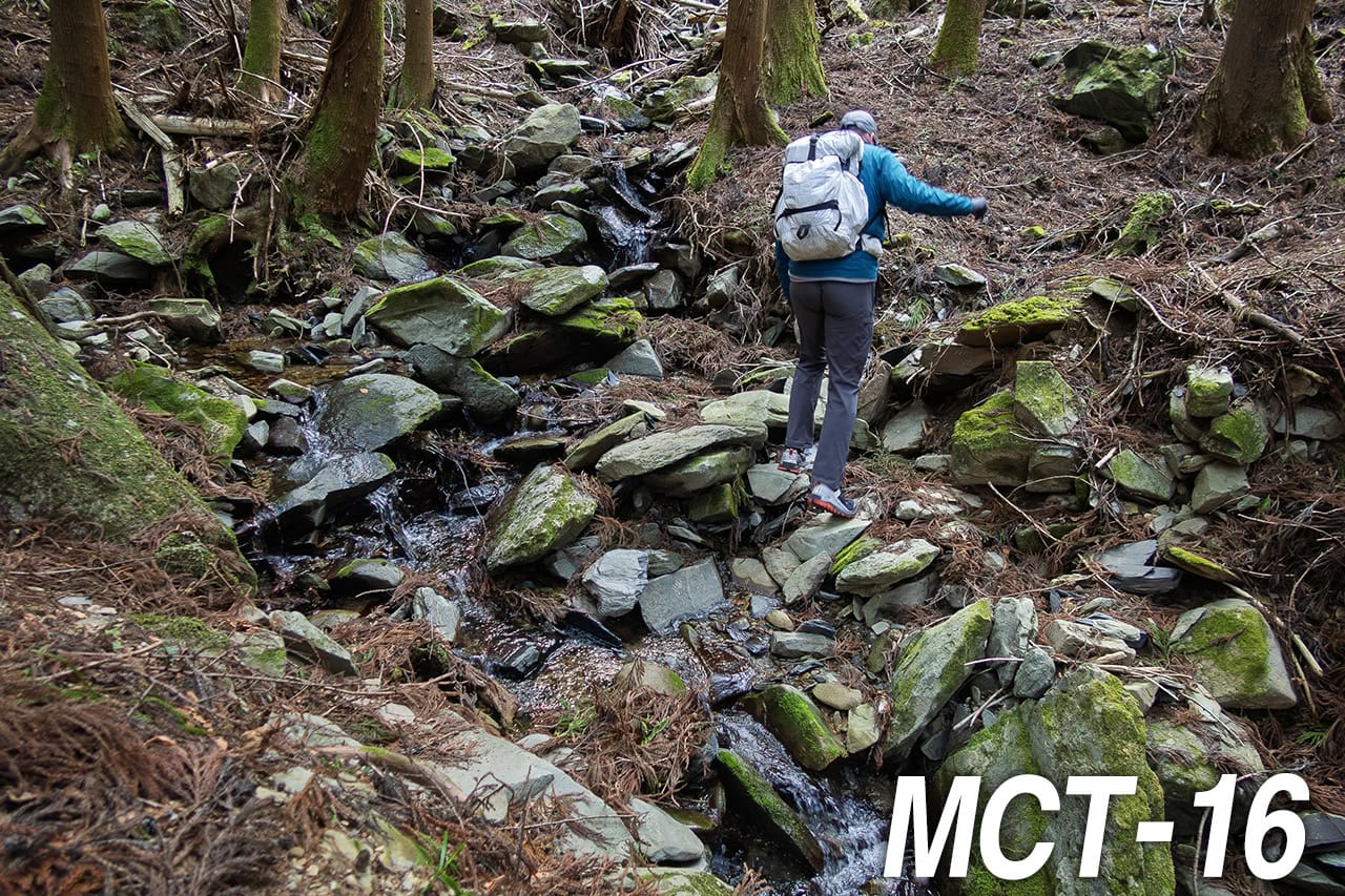
Back to Ayukawa and Extra 2.5km walk
Arriving at Ayukawa Port, we thanked the boat crew as they handed us small gift bags — local seafood crackers and bottles of tea — along with a warm “Thank you for boarding today.”
As we had estimated, the full MCT route on Kinkasan took well over 100 minutes — closer to 160. From stepping off the boat at 9:15 a.m. to leaving the island at 1:16 p.m., we had spent almost four hours hiking the MCT route, exploring the shrine, and watching the deer, all without taking any long breaks.
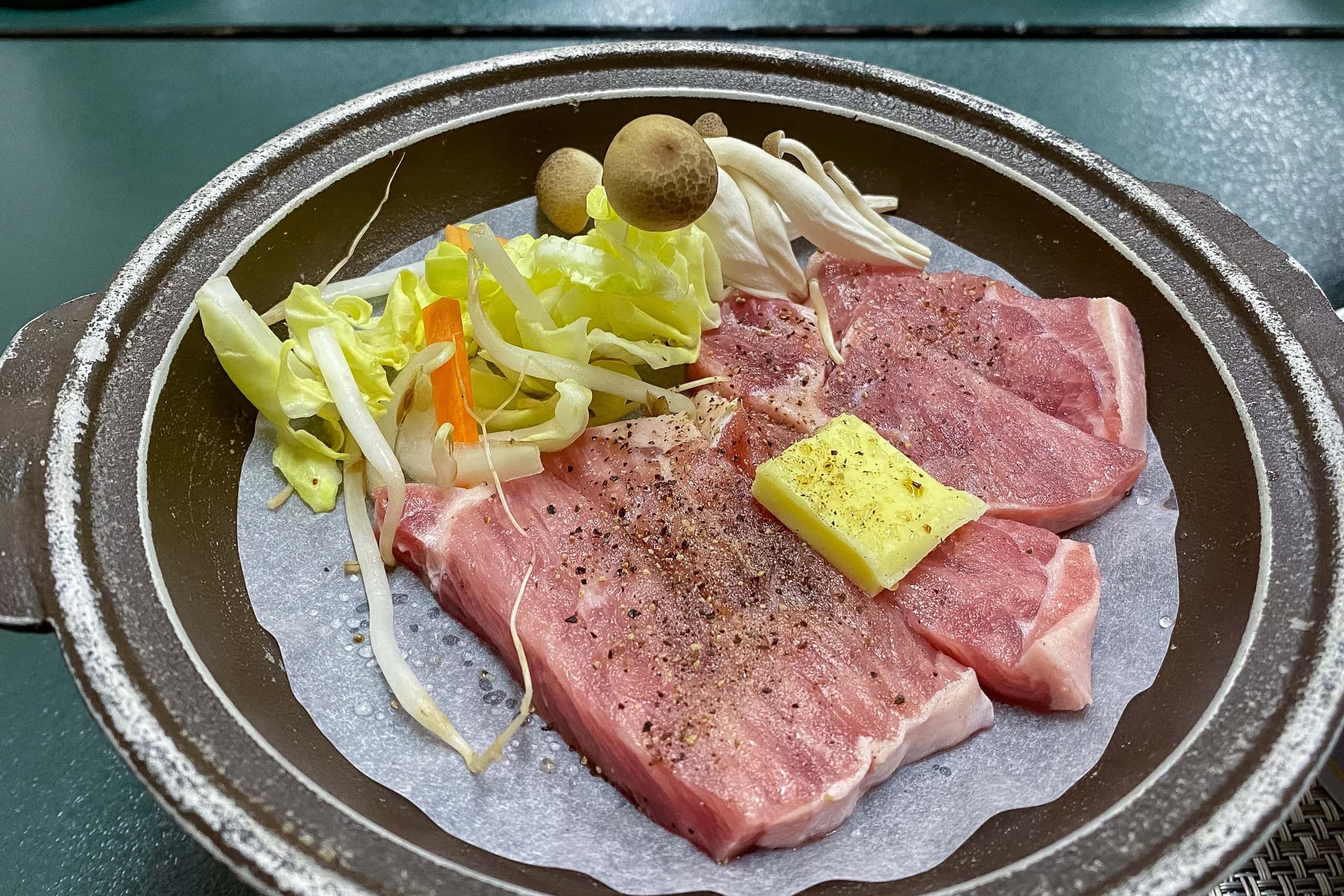
Inside Whale Town Oshika, we looked around beyond the ferry and sea-taxi counters. Several restaurants were open, and we enjoyed a late lunch at one of them.
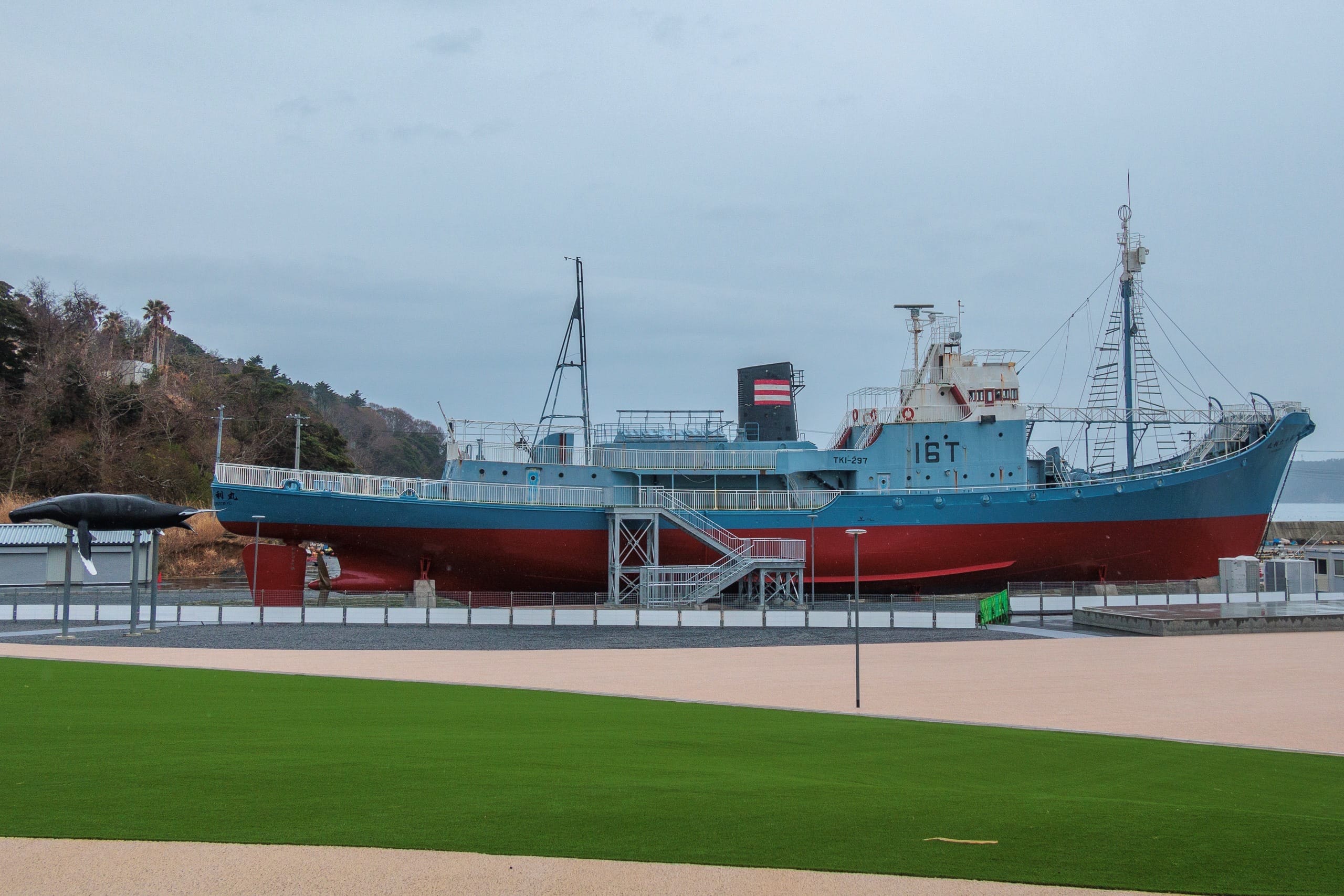
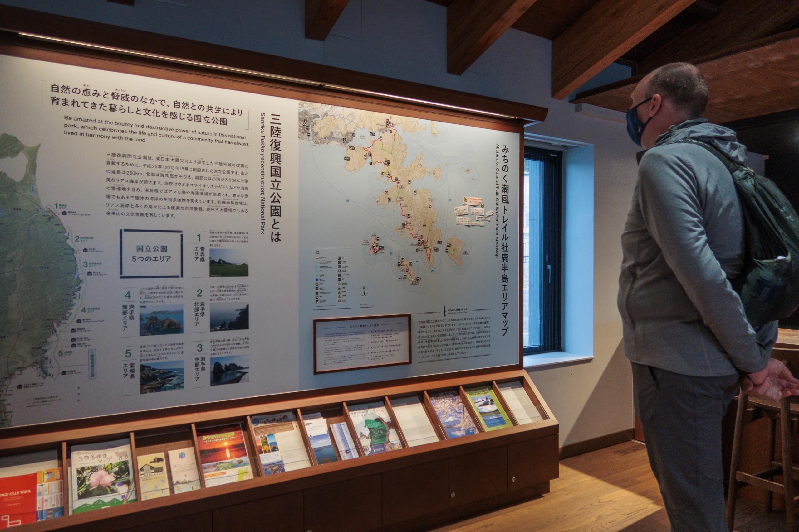
The Oshika Peninsula Visitor Center had a dedicated MCT section and, amusingly, a display of leech repellents and removers. Seeing them brought back our unforgettable leech memories from the Iseji route of the Kumano Kodo.
We skipped the small whale museum — the largest exhibit in the building — since we’ve already visited more than enough whale museums back home in Shikoku. Then we left the port area and began walking up the main road toward our hotel. A light rain was falling, but not enough for umbrellas.
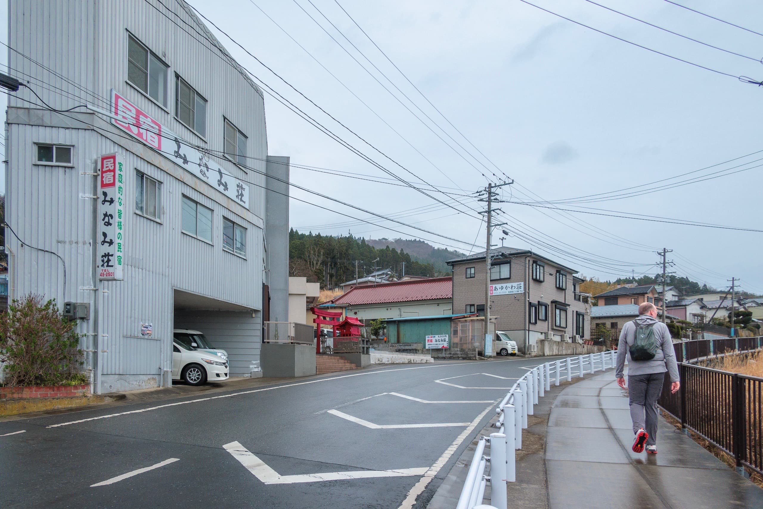
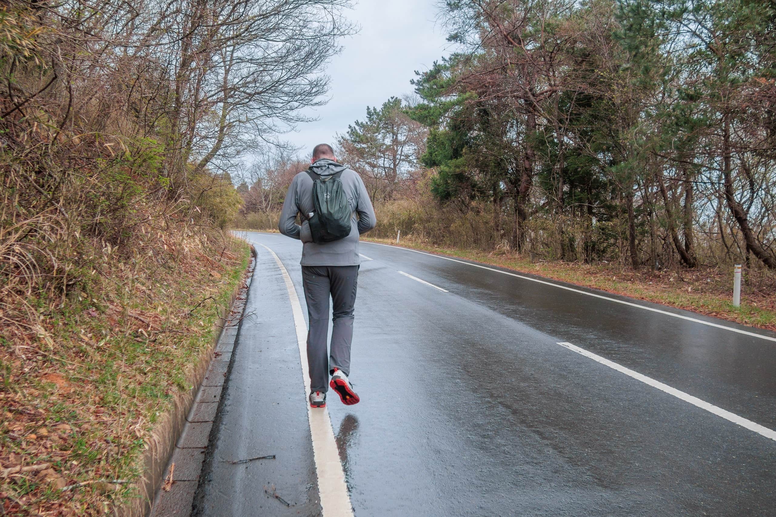
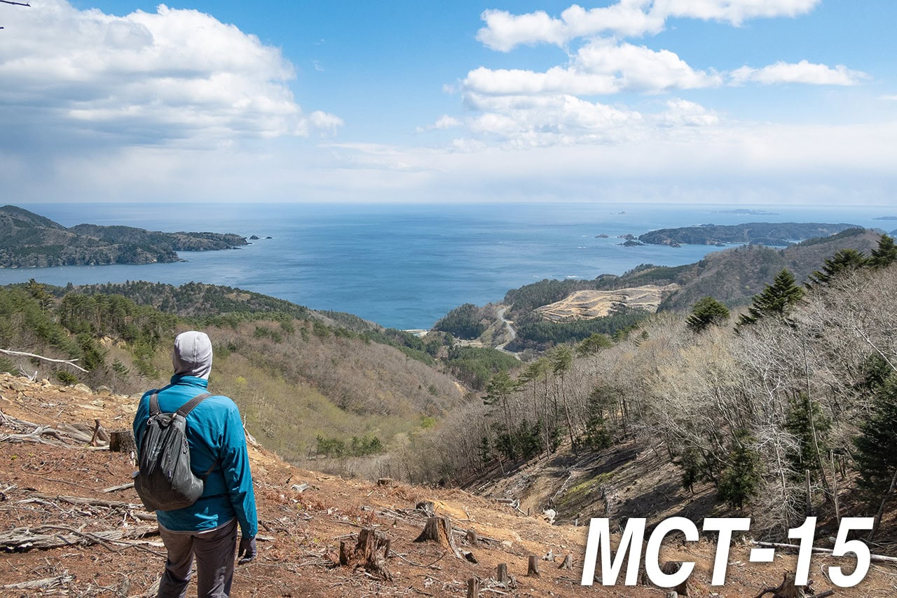
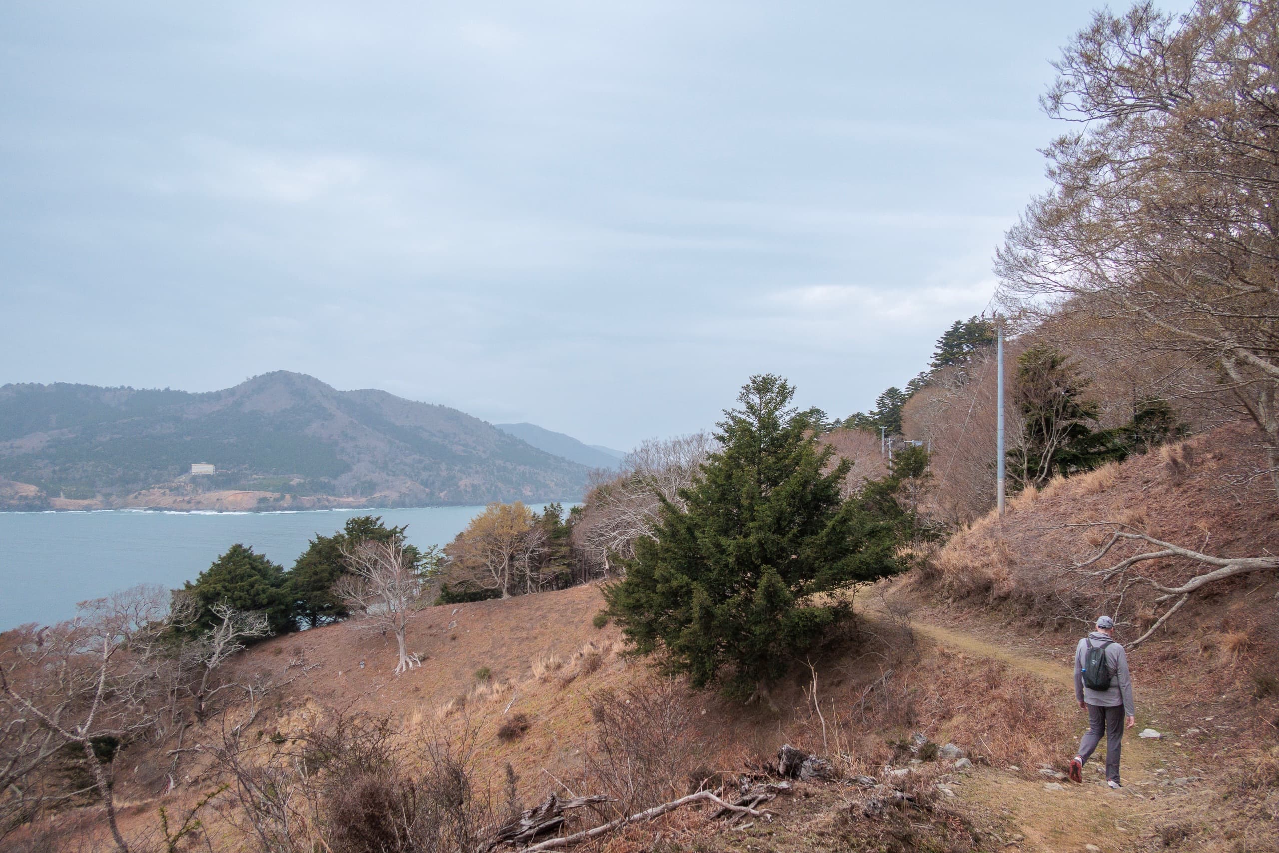
The first 450 meters of road, with a sidewalk, passed rows of fishermen’s houses before connecting with the quiet Cobalt Line, a scenic road running along the hillside above the sea. We kept walking uphill until it curved around the southern edge of the peninsula and reached a small viewpoint parking area.
A little farther on, at a fork where another road branched uphill from the Cobalt Line, we stopped
About 2.5km from the port to this fork was a part of the MCT route.
We had already called our hotel to arrange pickup here — they would also drop us off again tomorrow morning. That way, we didn’t have to walk the same 2.5 km uphill twice and could save some energy for tomorrow’s long day, especially since the weather forecast looked poor.
The hotel car arrived quickly, and by 3:30 p.m. we were back in our room. For the last two nights, only we and one solo guest had stayed at the hotel, which meant the large onsen was entirely ours. After walking through chilly winds and misty rain, soaking in the hot bath felt perfect.
We felt relieved — the island sections were finally behind us. From here on, there would be no more complex bookings or ferry schedules, no more worries about being stranded on an island.
All we had to do now was walk north.
Day 10 – MCT
| Start | Ayukawa Port |
| Distance | 20.4 km |
| Elevation Gain/Loss | 612 m / 486 m |
| Finish | Cobalt Line Viewpoint |
| Time | 6 h 11 m |
| Highest/Lowest Altitude | 444 m / 0 m |
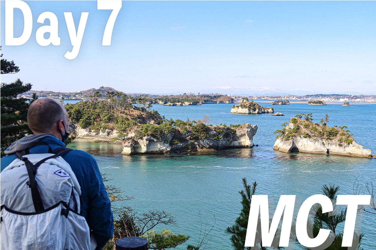
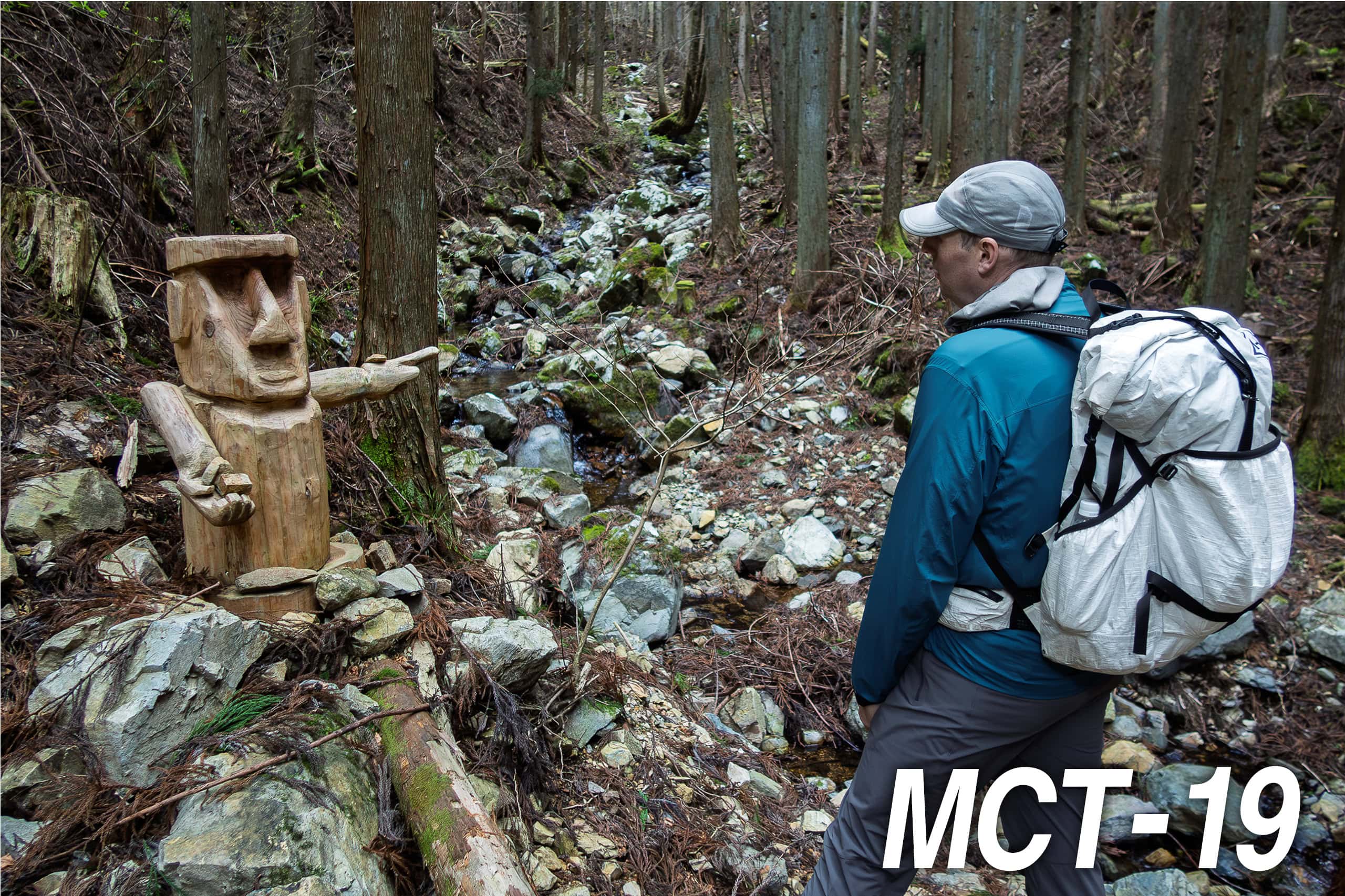
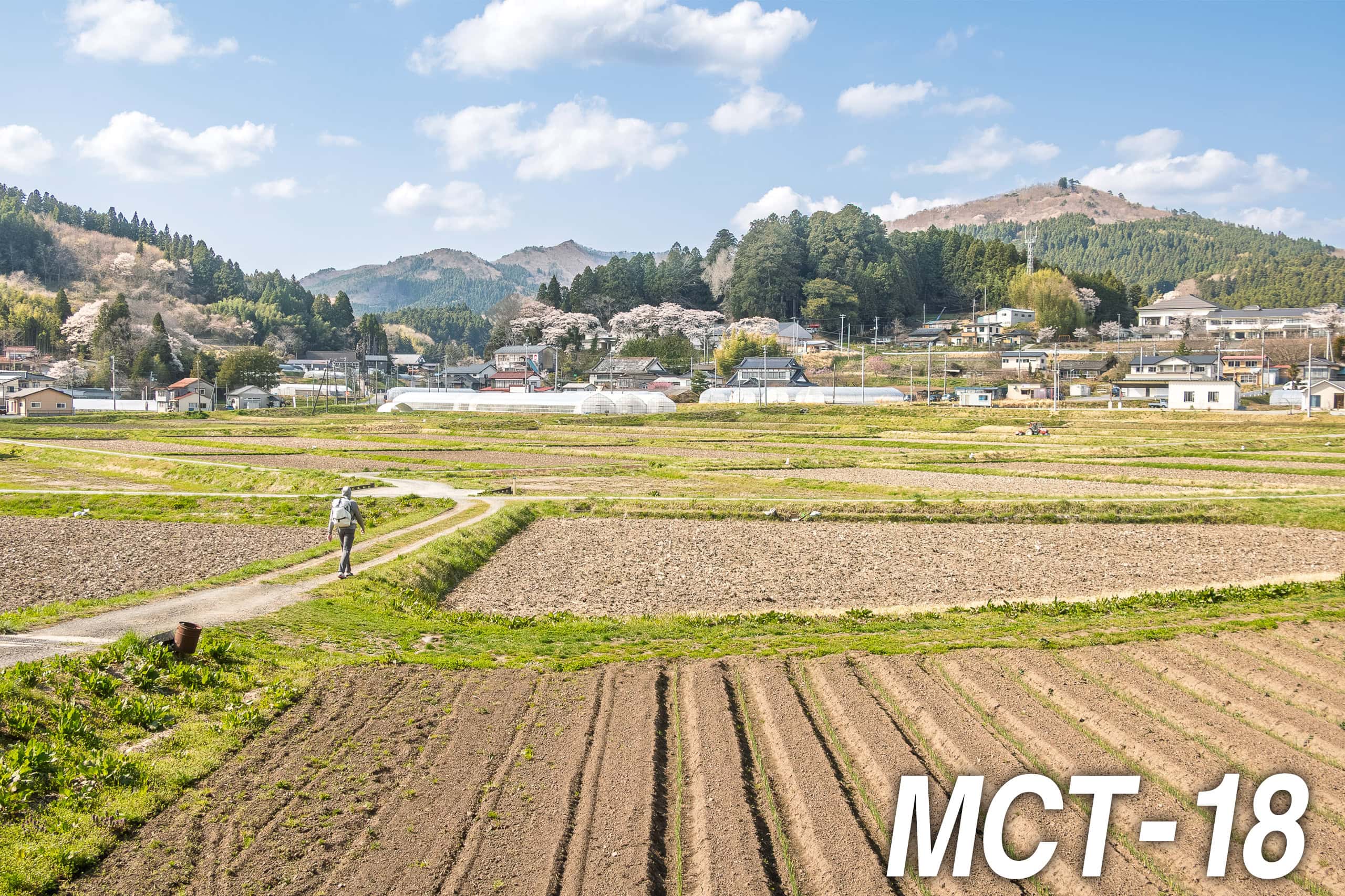
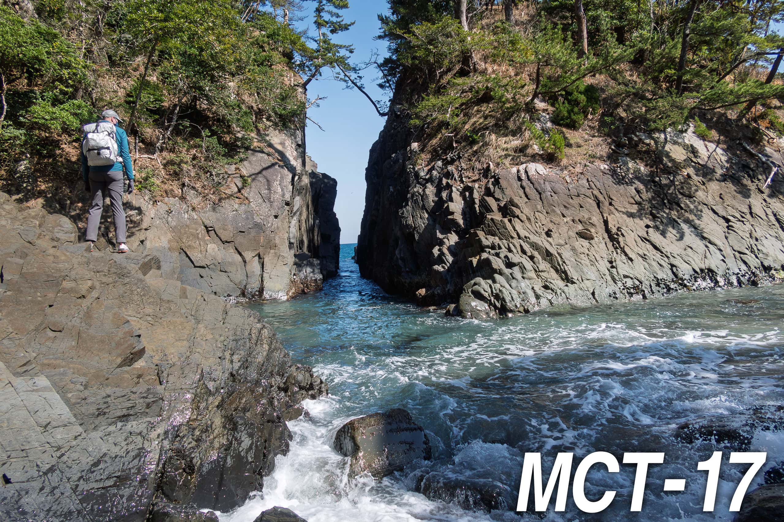
The Michinoku Coastal Trail Thru-hike : Late March – Mid-May 2021
- The first and most reliable information source about MCT is the official website
- For updates on detours, route changes, and trail closures on the MCT route
- Get the MCT Official Hiking Map Books
- Download the route GPS data provided by MCT Trail Club
- MCT hiking challengers/alumni registration