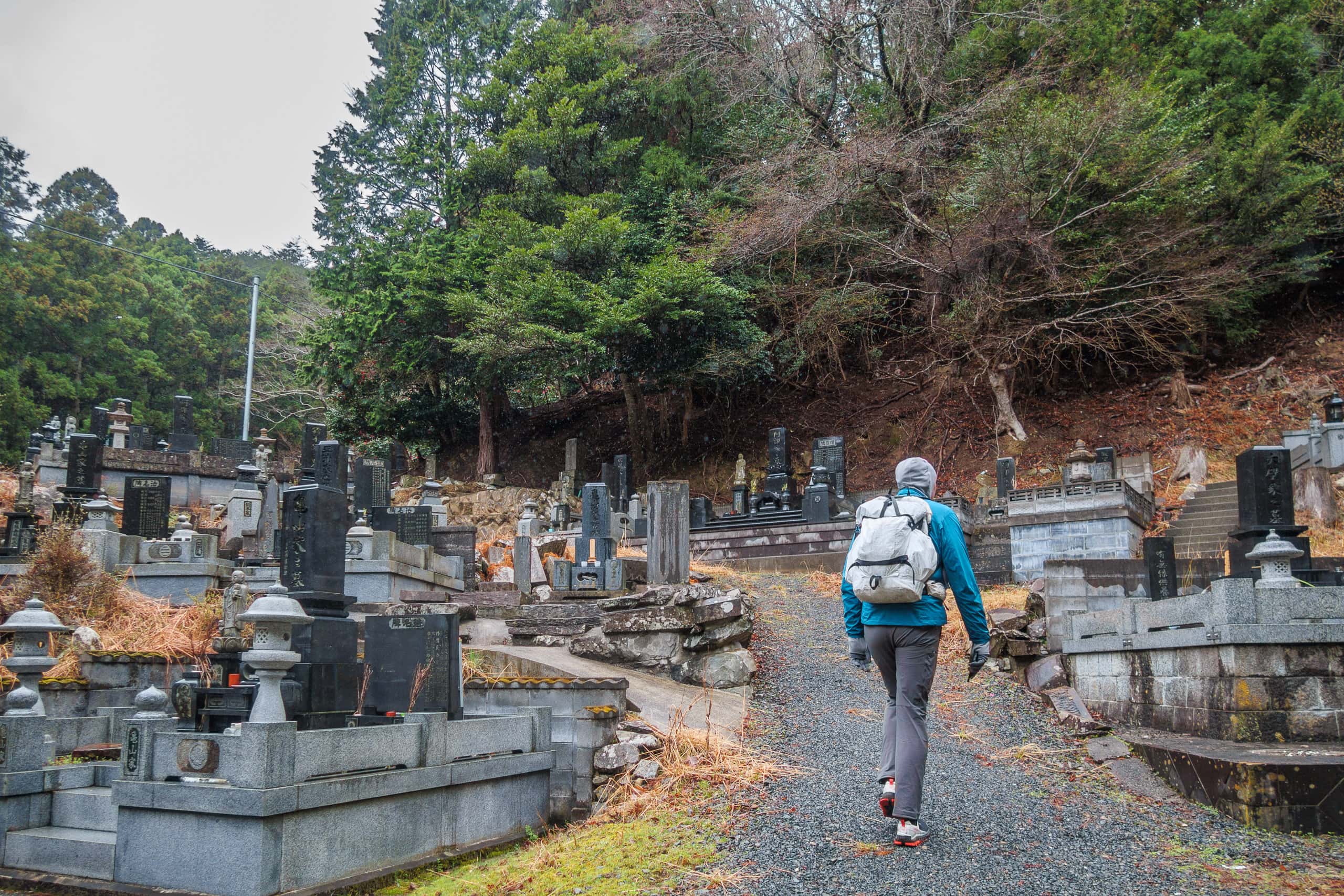
Rainy Morning Departure
After we returned to our hotel last evening, the drizzle quickly turned into heavy rain and continued through the night.
Still, we stayed optimistic. The evening forecast had promised the rain would ease by morning. We soaked in the big hot onsen, enjoyed dinner, and slept well.
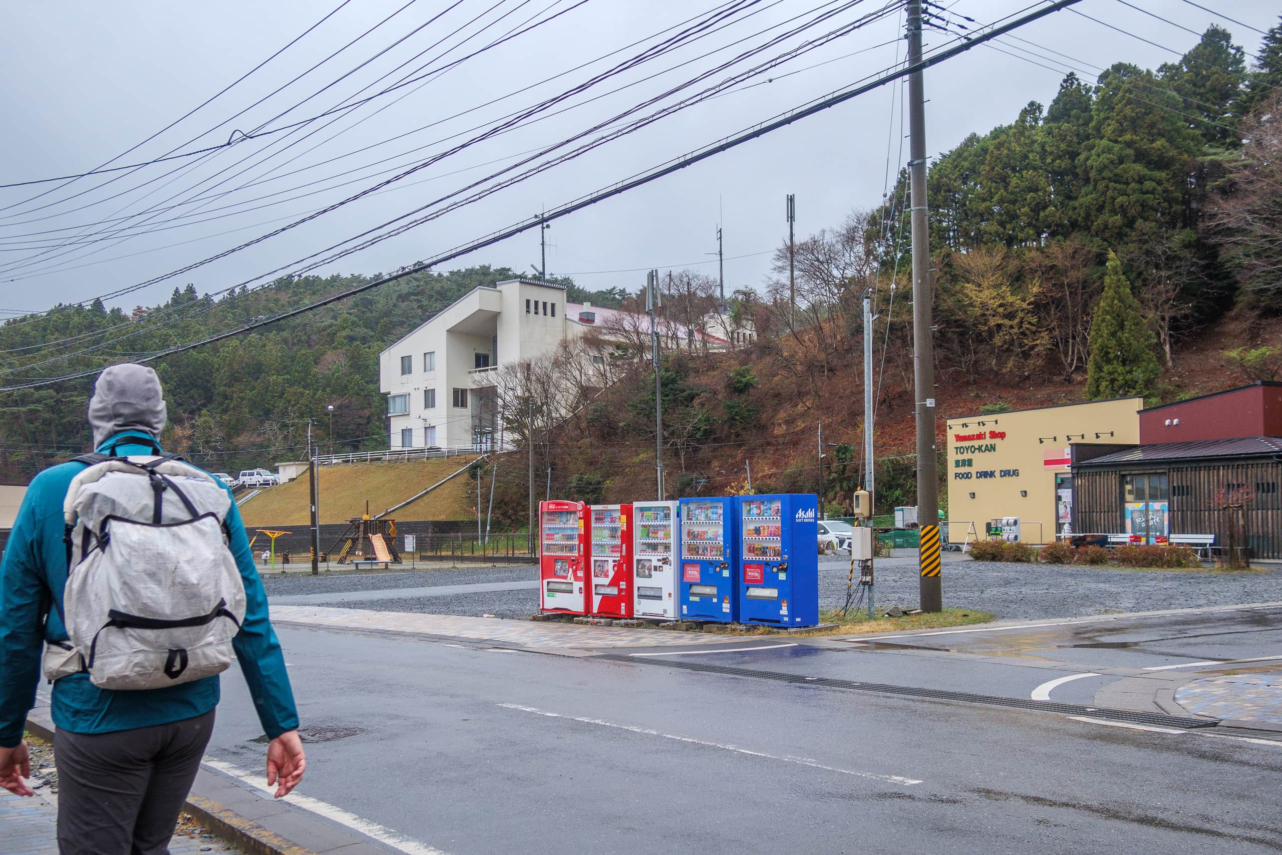
But when we woke and pulled open the curtains, the rain was still coming down hard. Well, we still had two hours before our start time, so I kept hoping it would calm down.
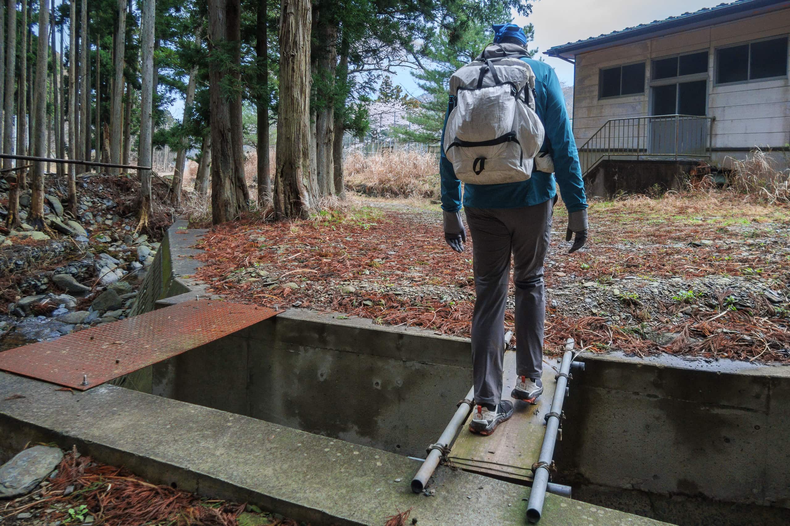
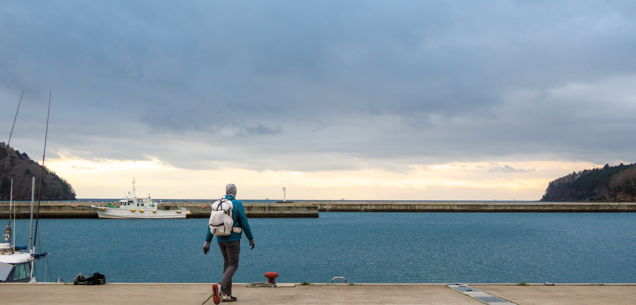
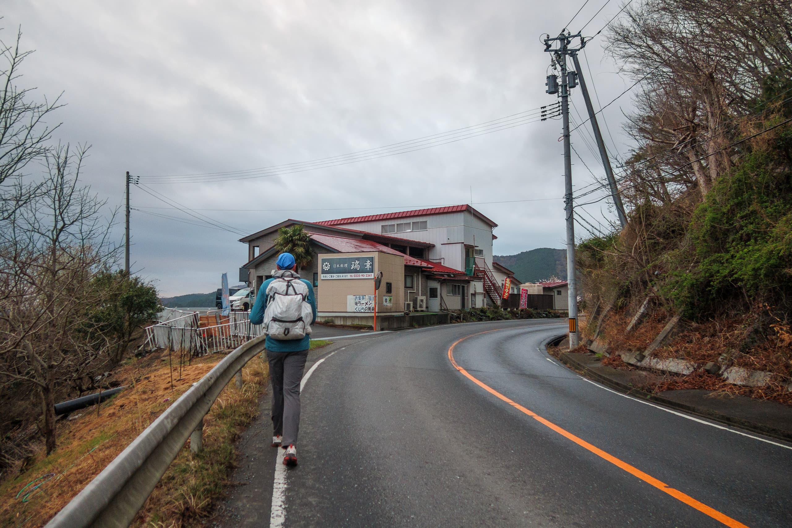
When the hotel car dropped us off at yesterday’s endpoint near the corner of the Cobalt Line, it was still raining—but at least not as heavily. The misty drizzle didn’t seem bad enough to soak our clothes right away, as long as we kept our rain jackets on.
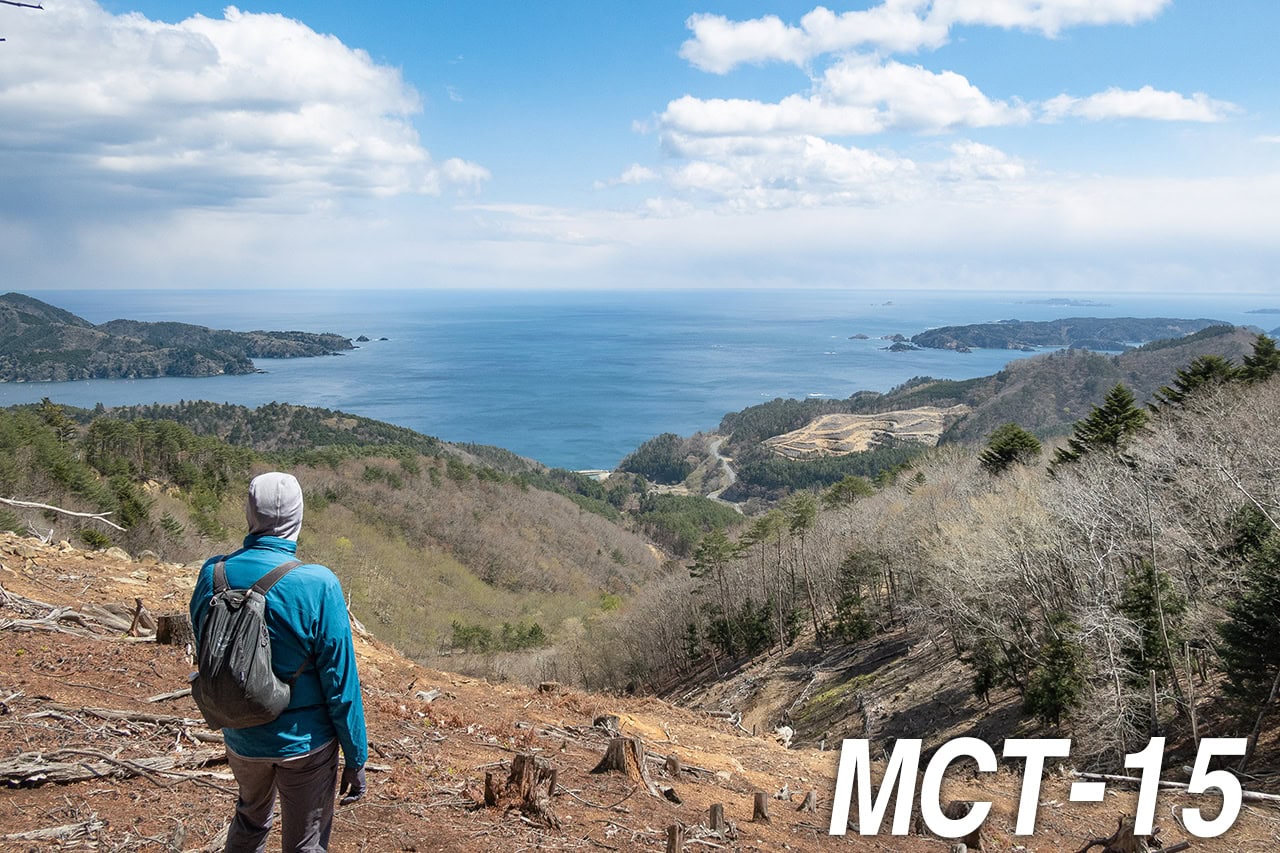
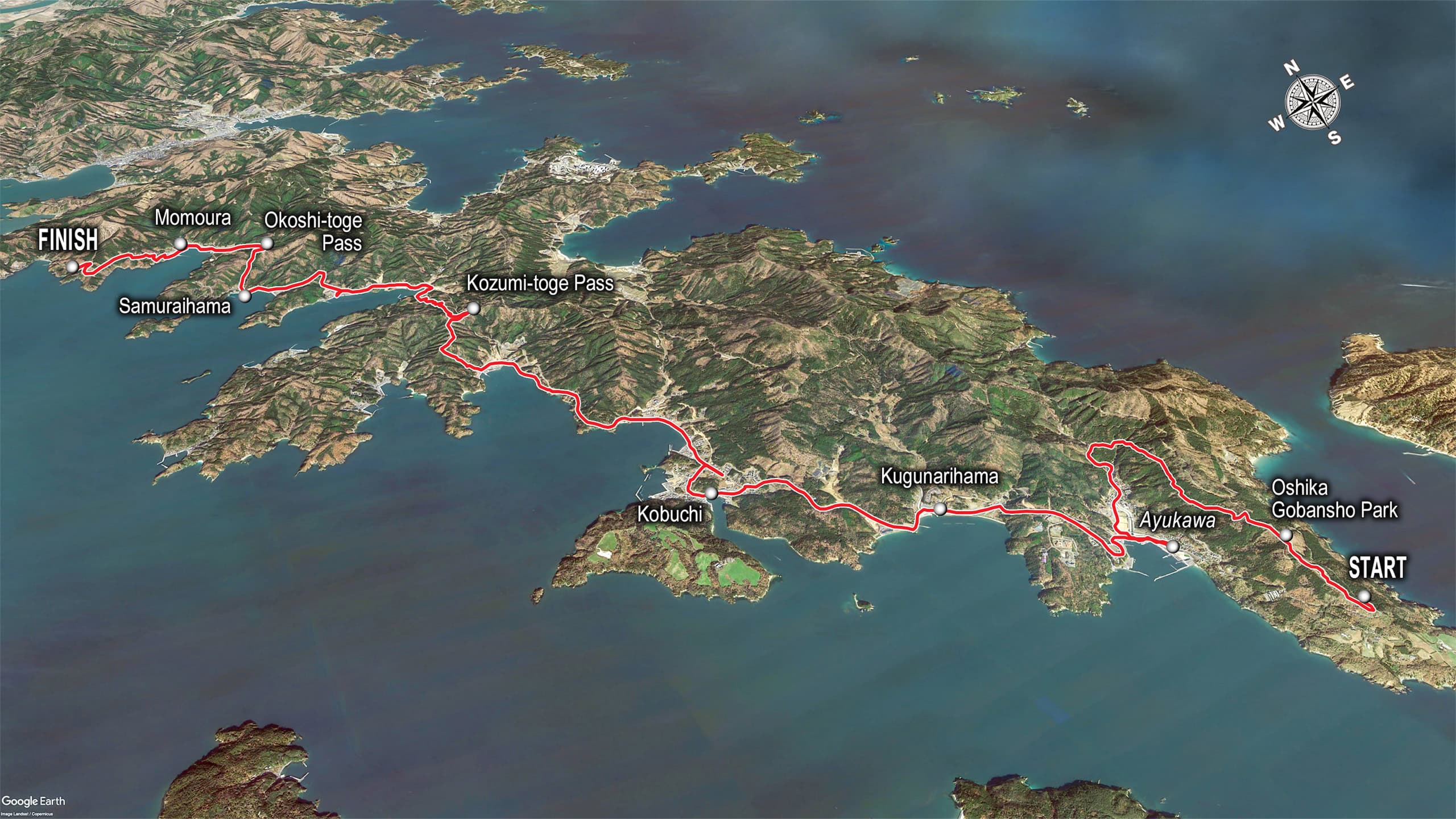
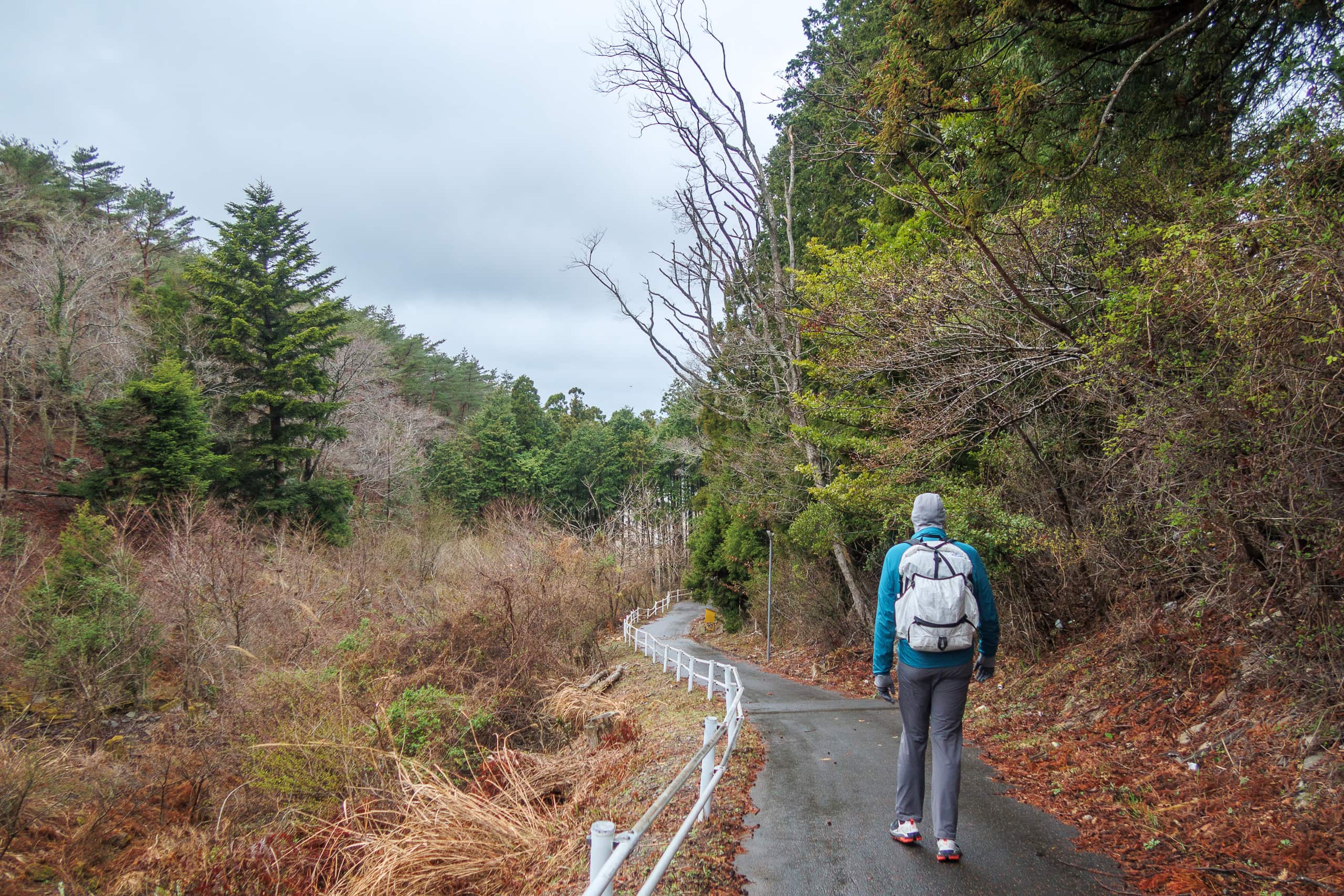
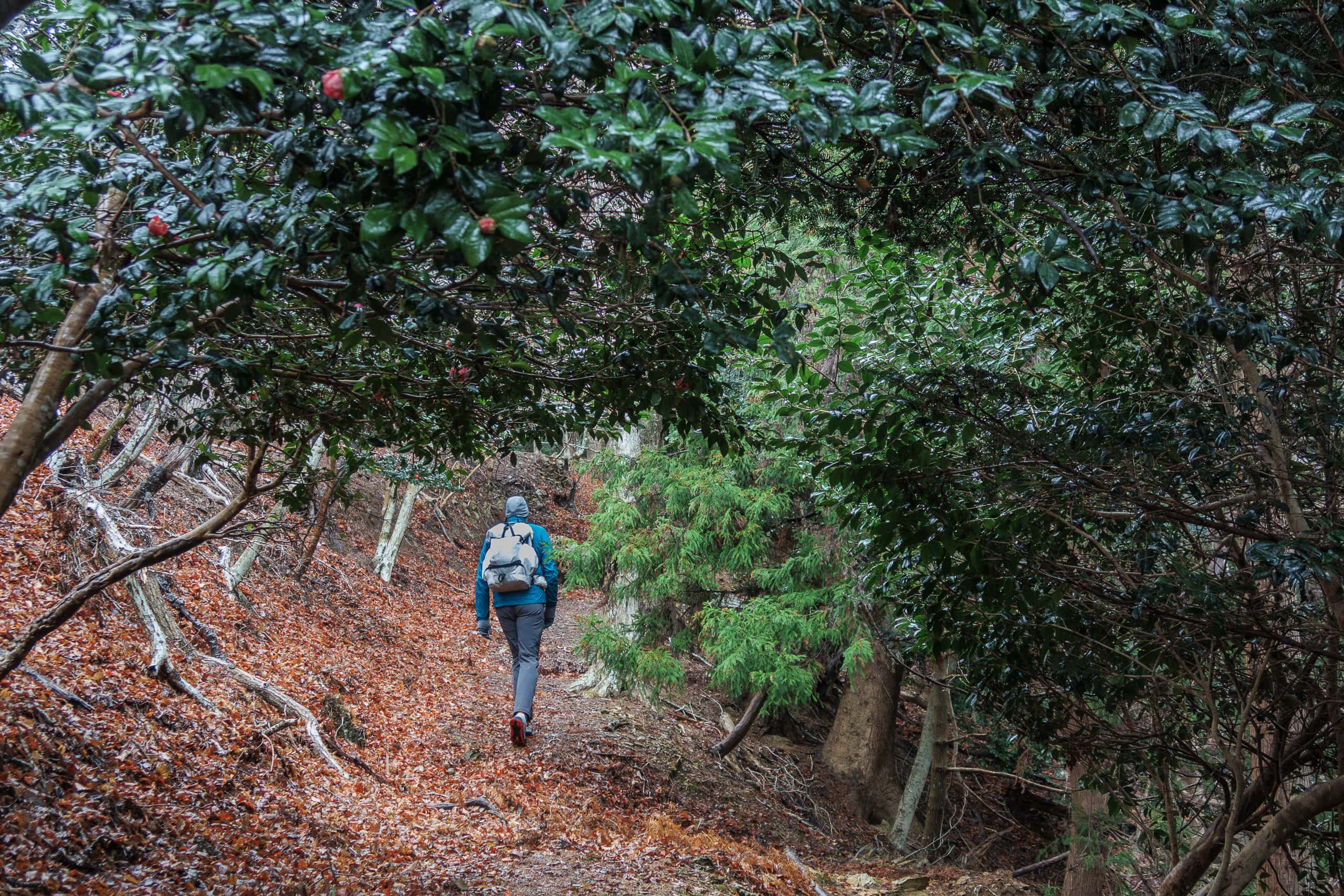
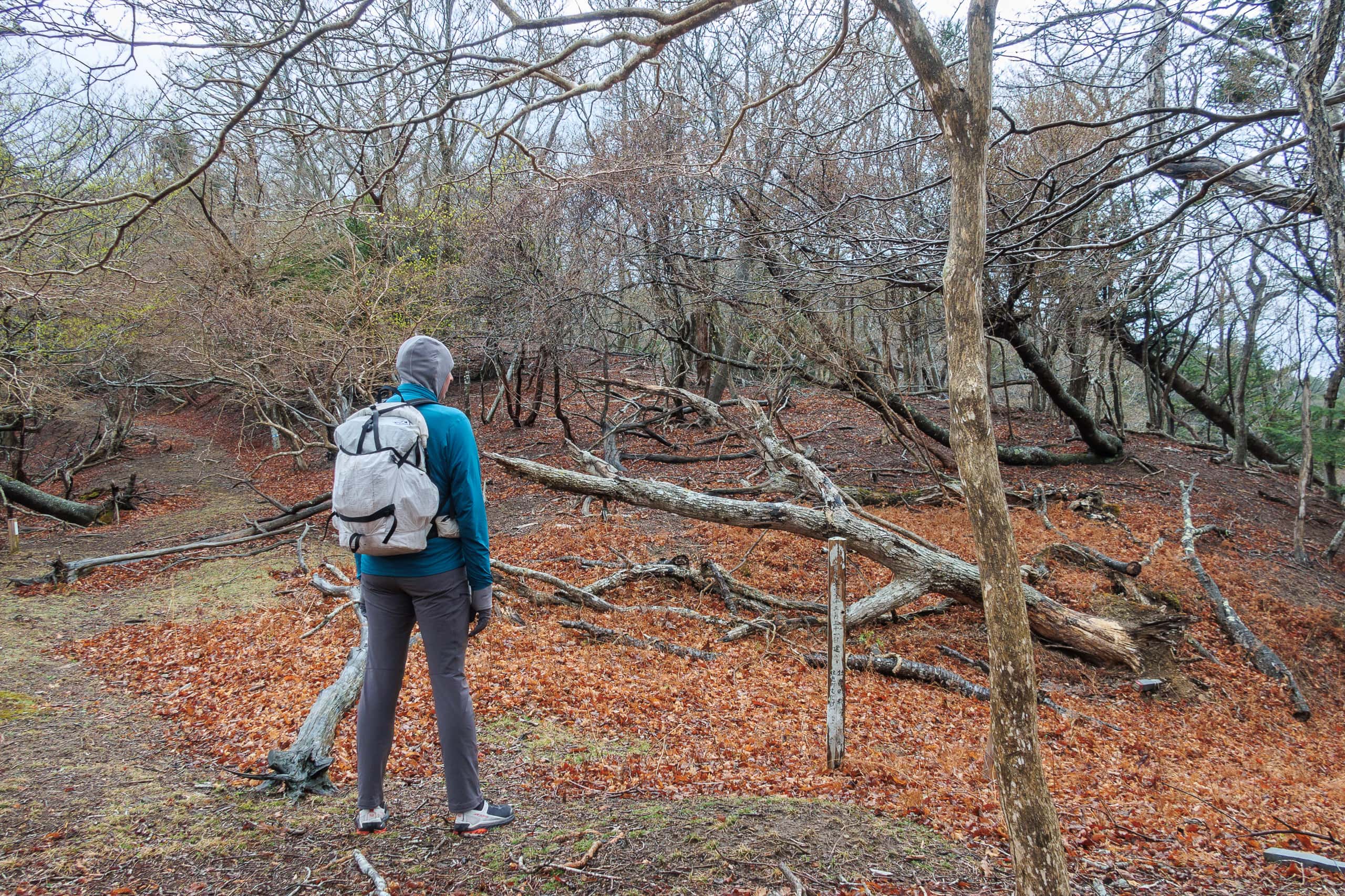
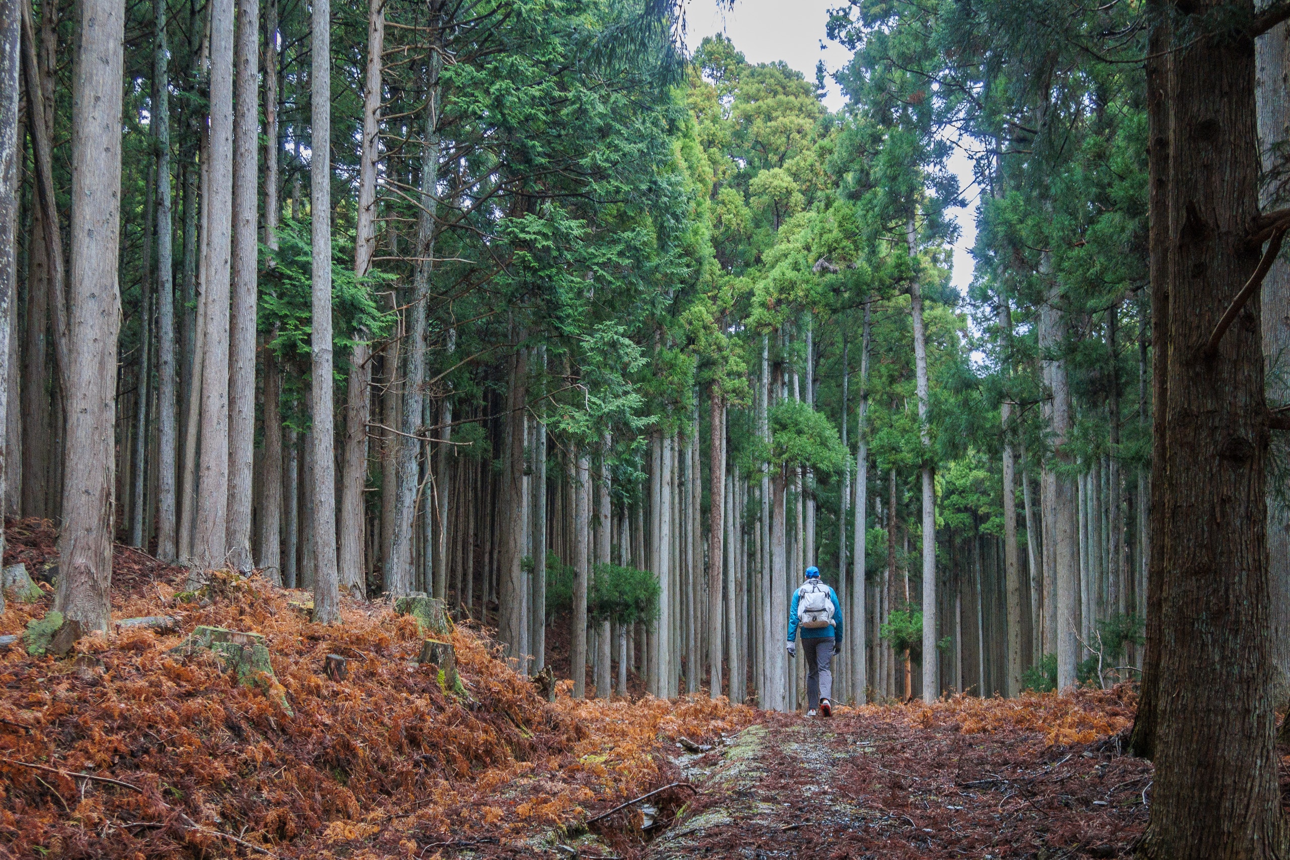
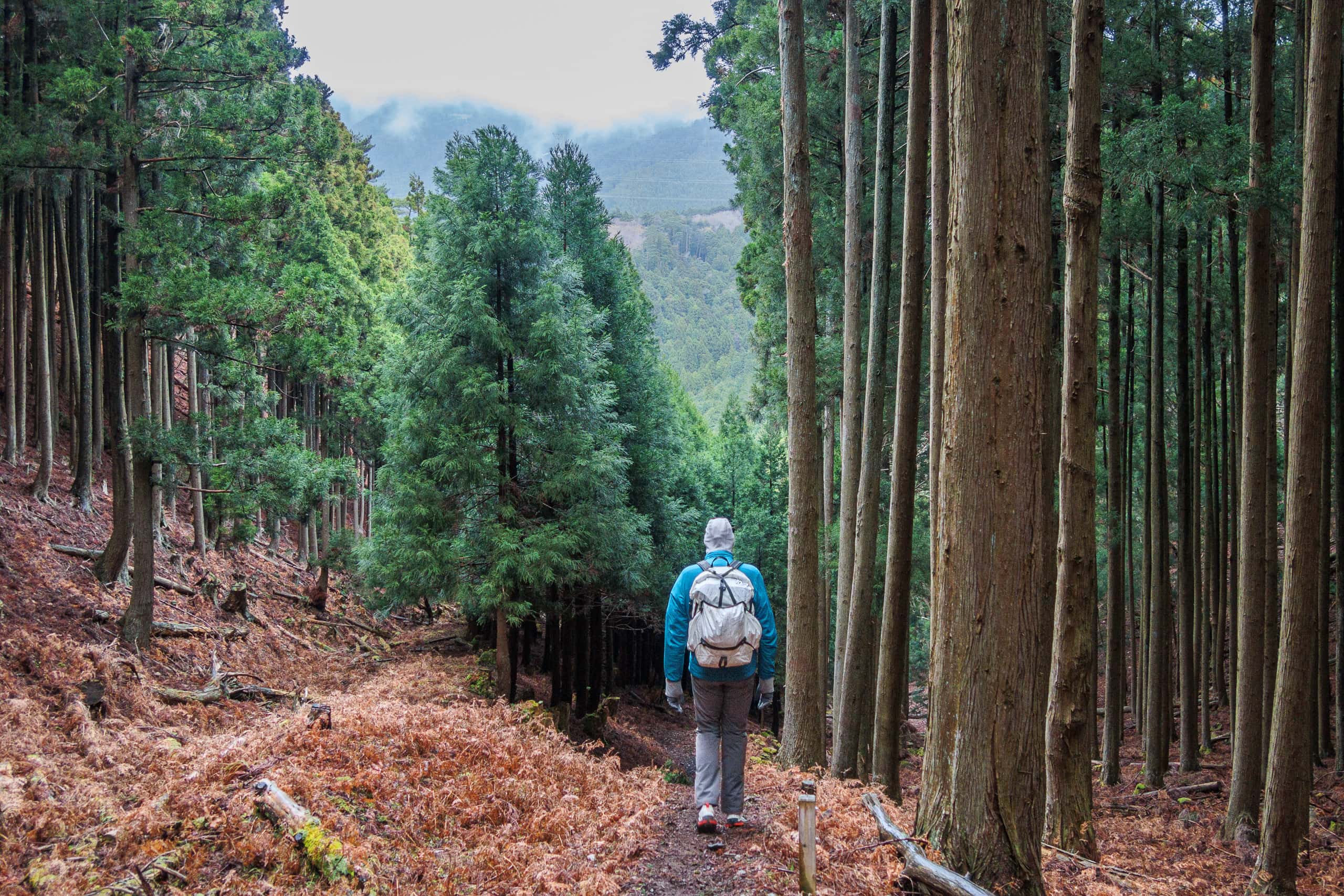
Mt. Gobansho-yama and the Scenic Park
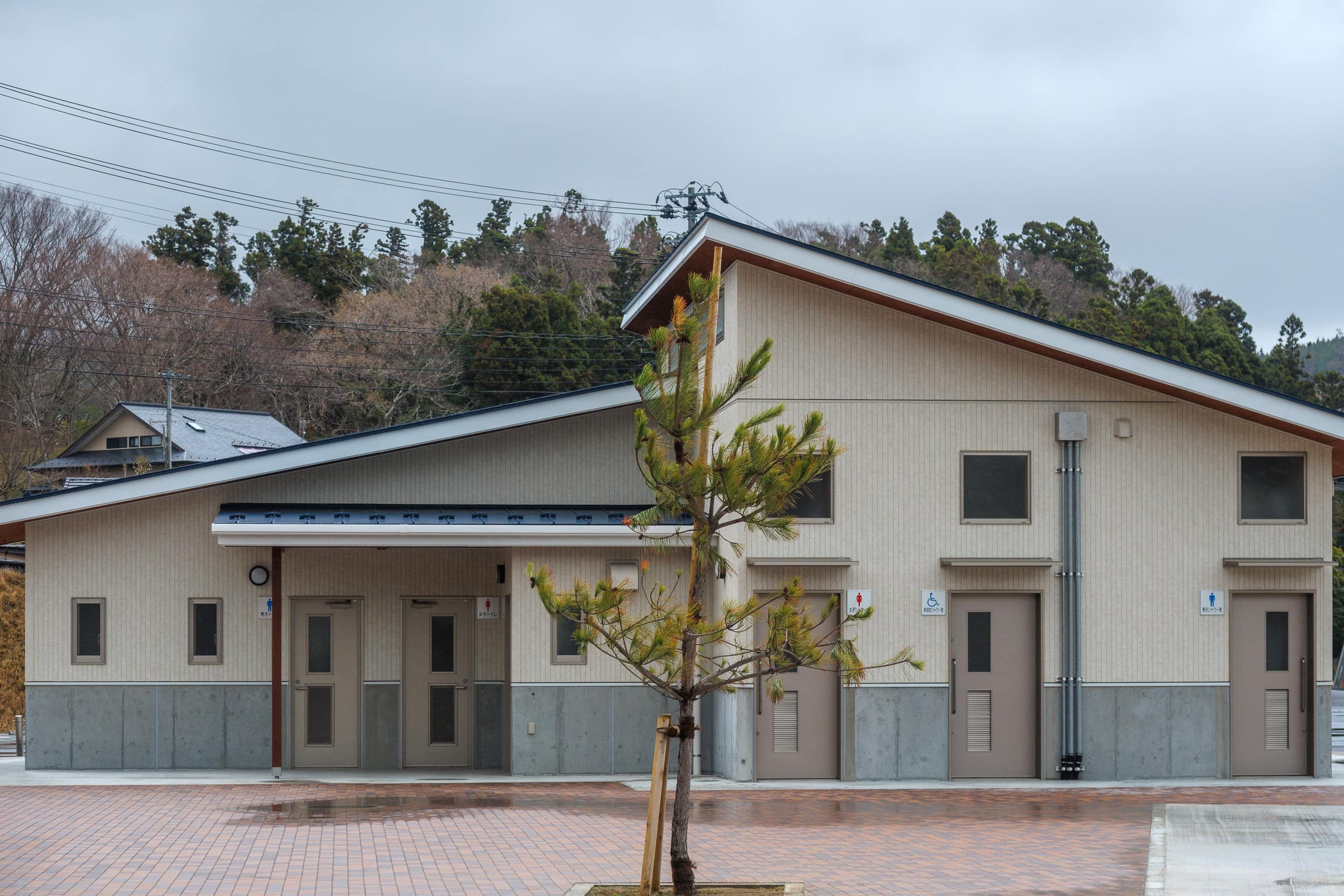
Another two-lane road with good sidewalks branched away from the Cobalt Line. Following it, the MCT soon led us onto a grassy walking path that wound through a large park spread across the mountain ridge behind Ayukawa. We passed a long slide and zip lines for kids, then crossed an empty parking lot and restroom area.
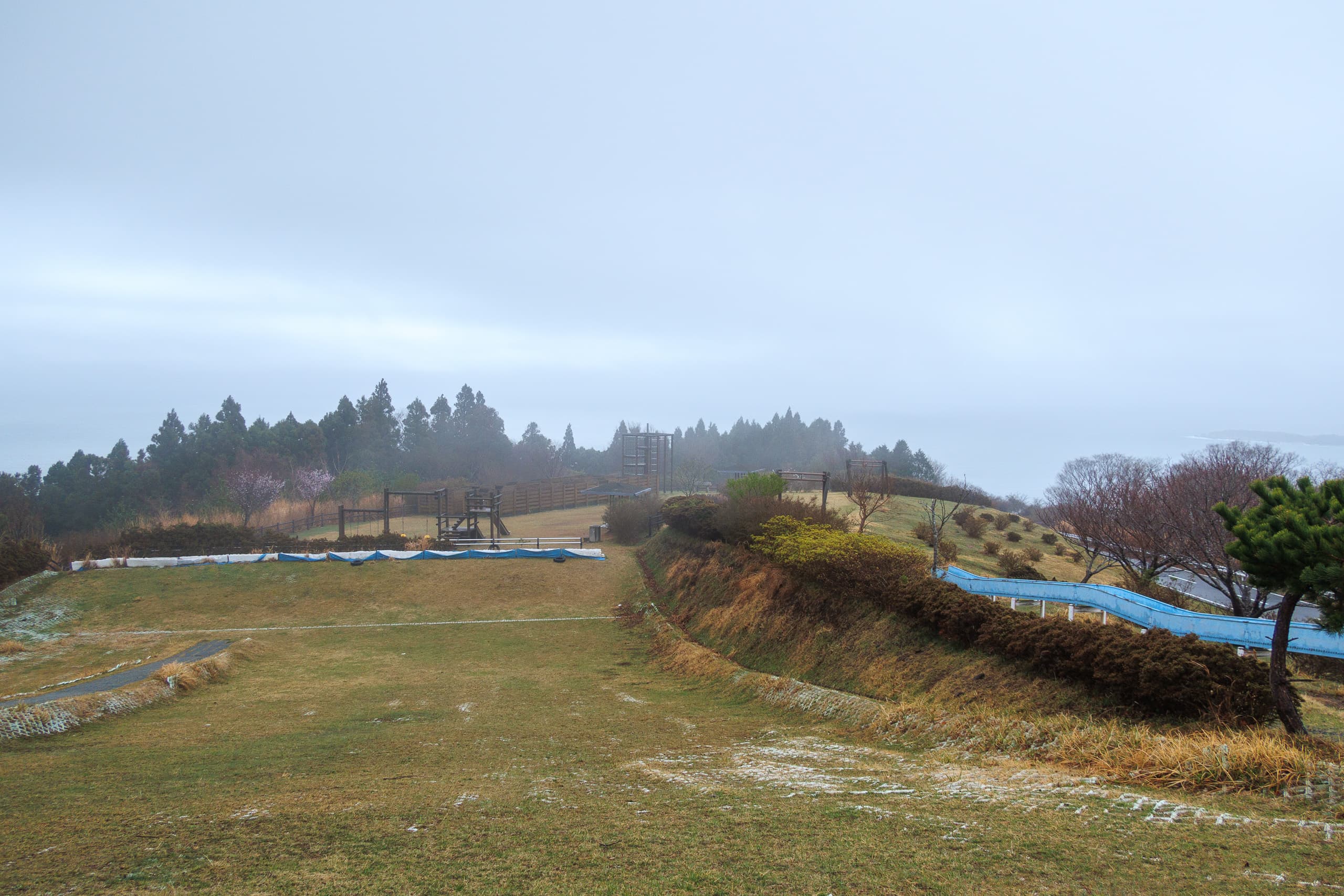
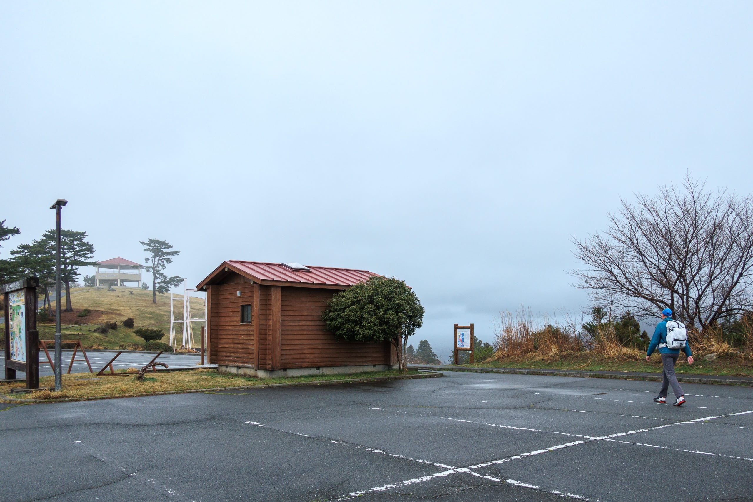
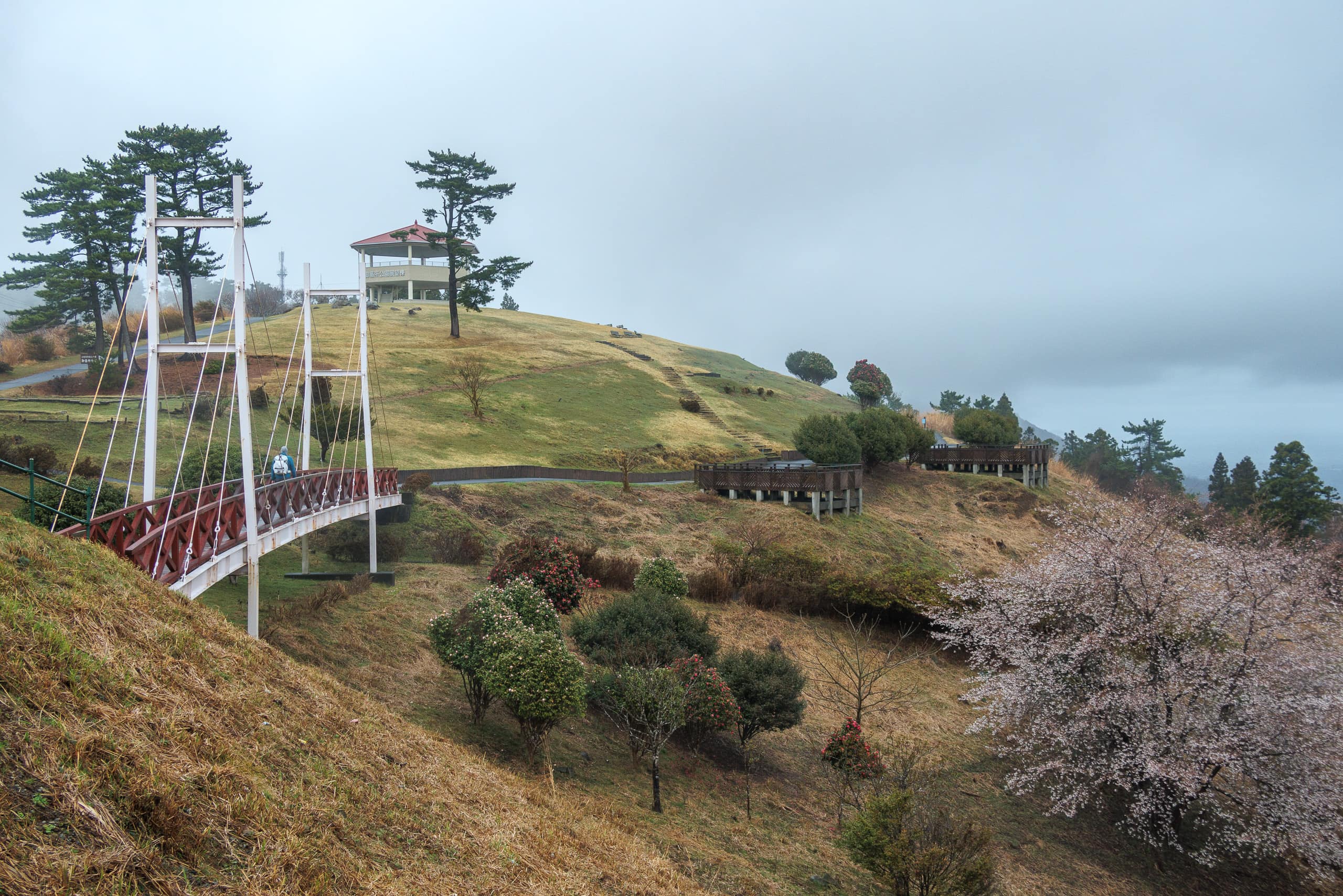
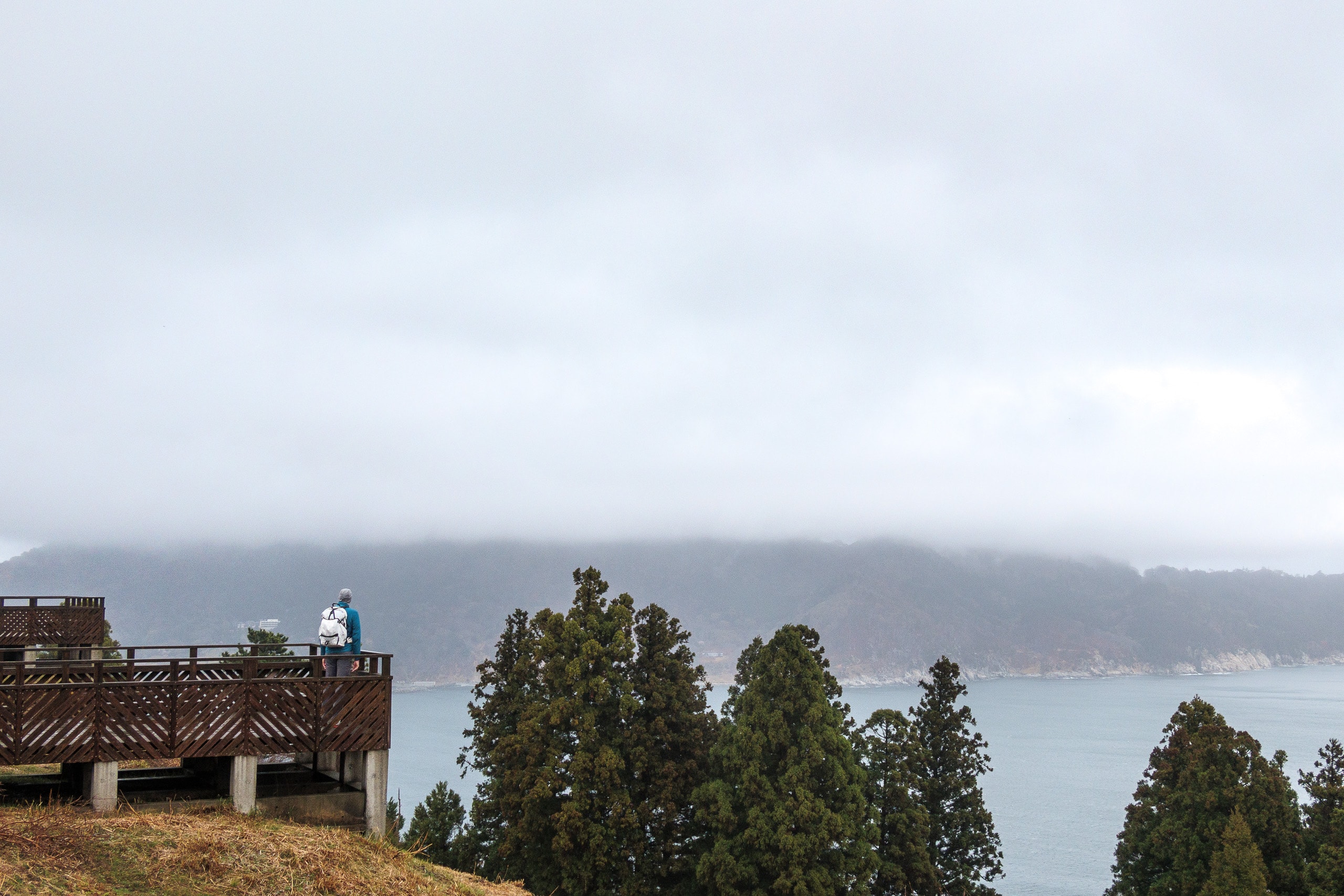
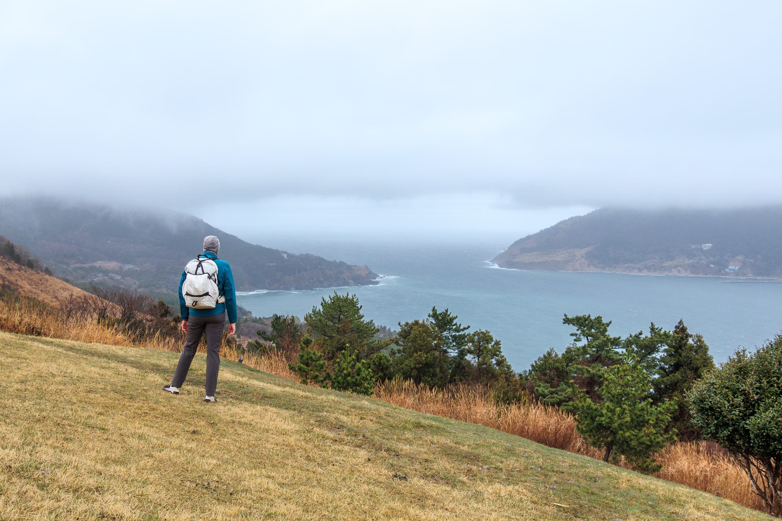
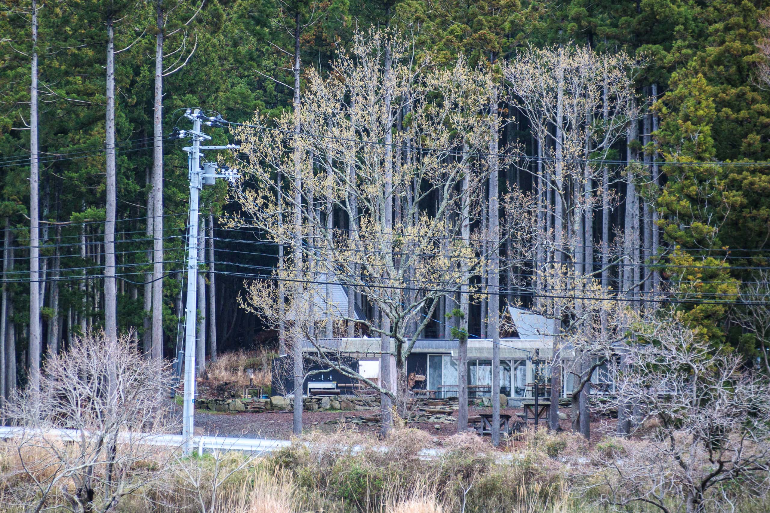
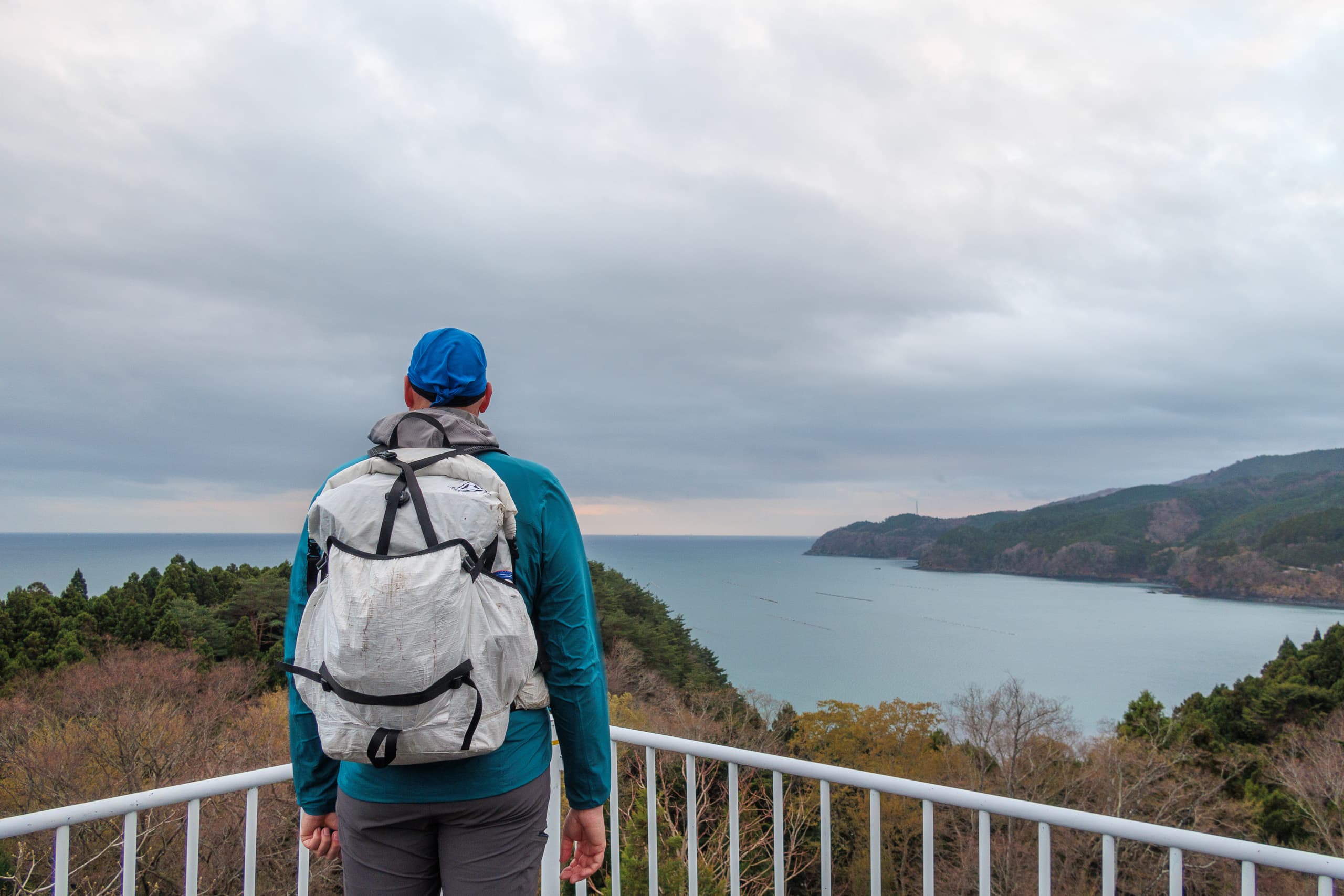
The park’s main grounds featured several viewing decks and a multi-level observation tower that must offer a near-360-degree panorama on a clear, sunny day — perfect for a weekend picnic.
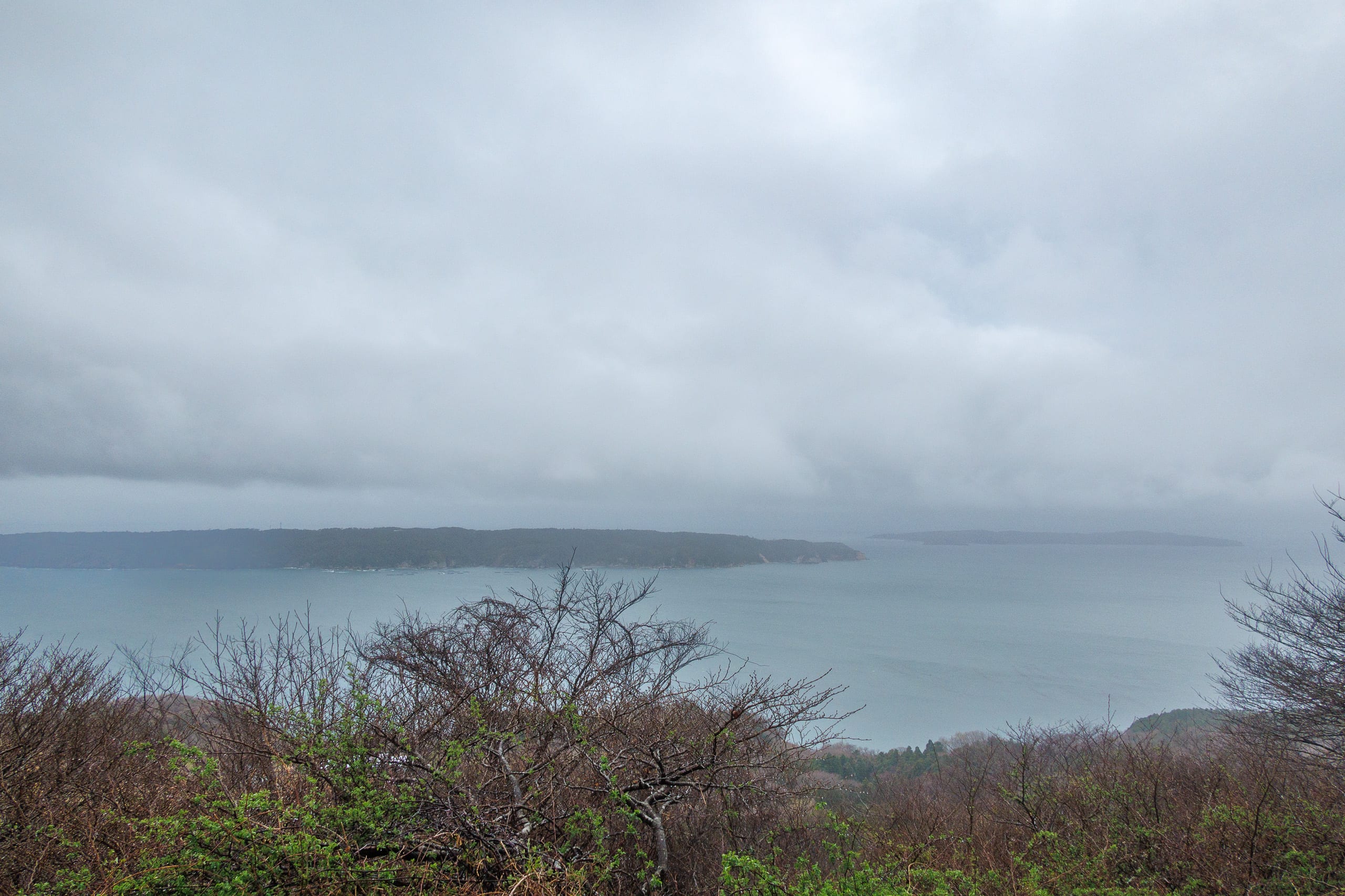
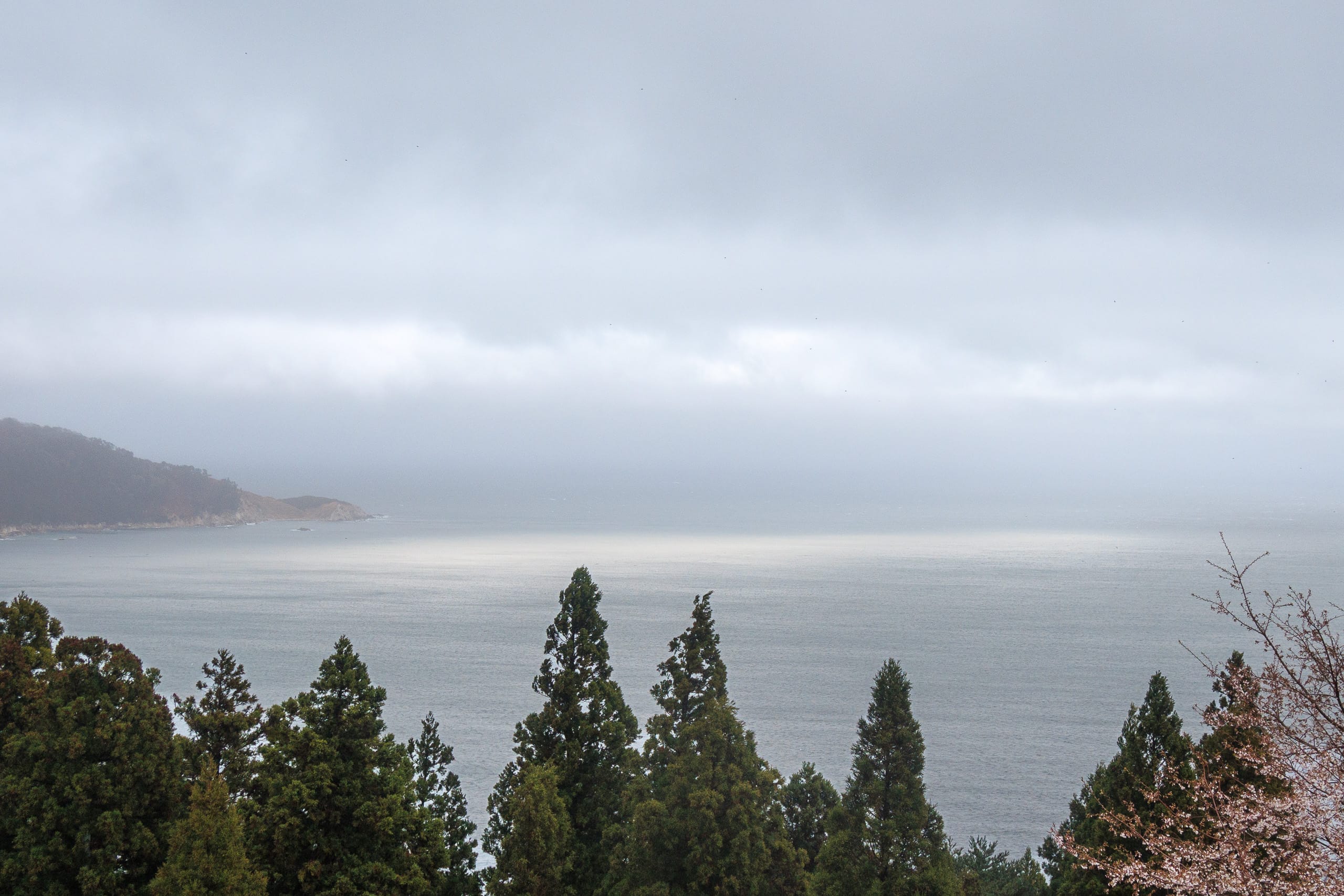
Even on a foggy morning like this, the view of Kinkasan from one of the decks was magnificent. The sacred island looked dignified, its summit hidden in a veil of white mist.
The park’s name, Oshika Gobansho Park おしか御番所公園, and the mountain, Gobansho-yama 御番所山, come from a small wooden hut once standing at the summit called Karafune Bansho 唐船番所.
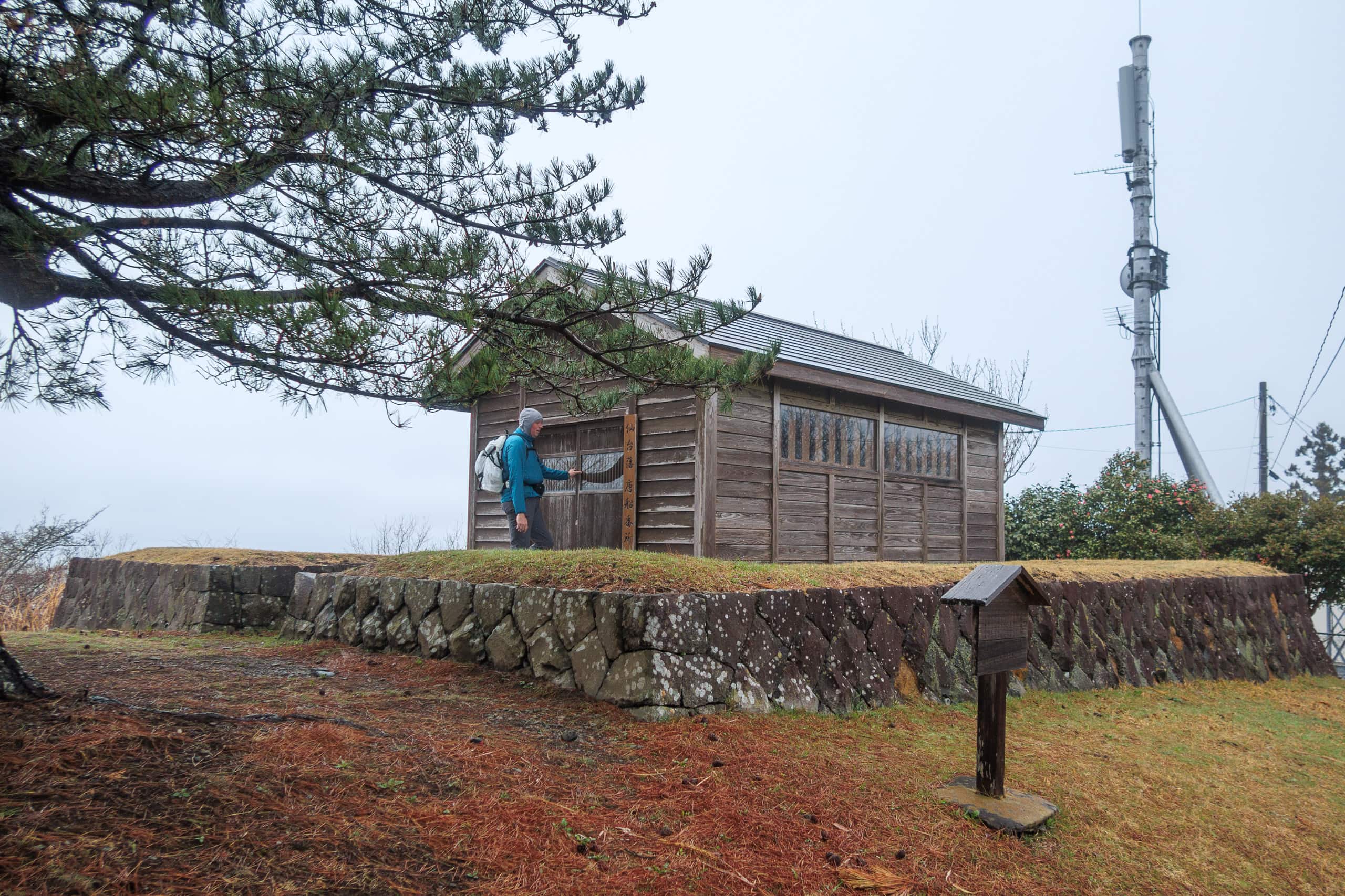
Beginning in the mid-17th century, when the lord of the domain that covered present-day Miyagi Prefecture built five of these huts across his territory, they served for more than 220 years as lookout stations for foreign ships (karafune) that might approach Japan during its period of seclusion.
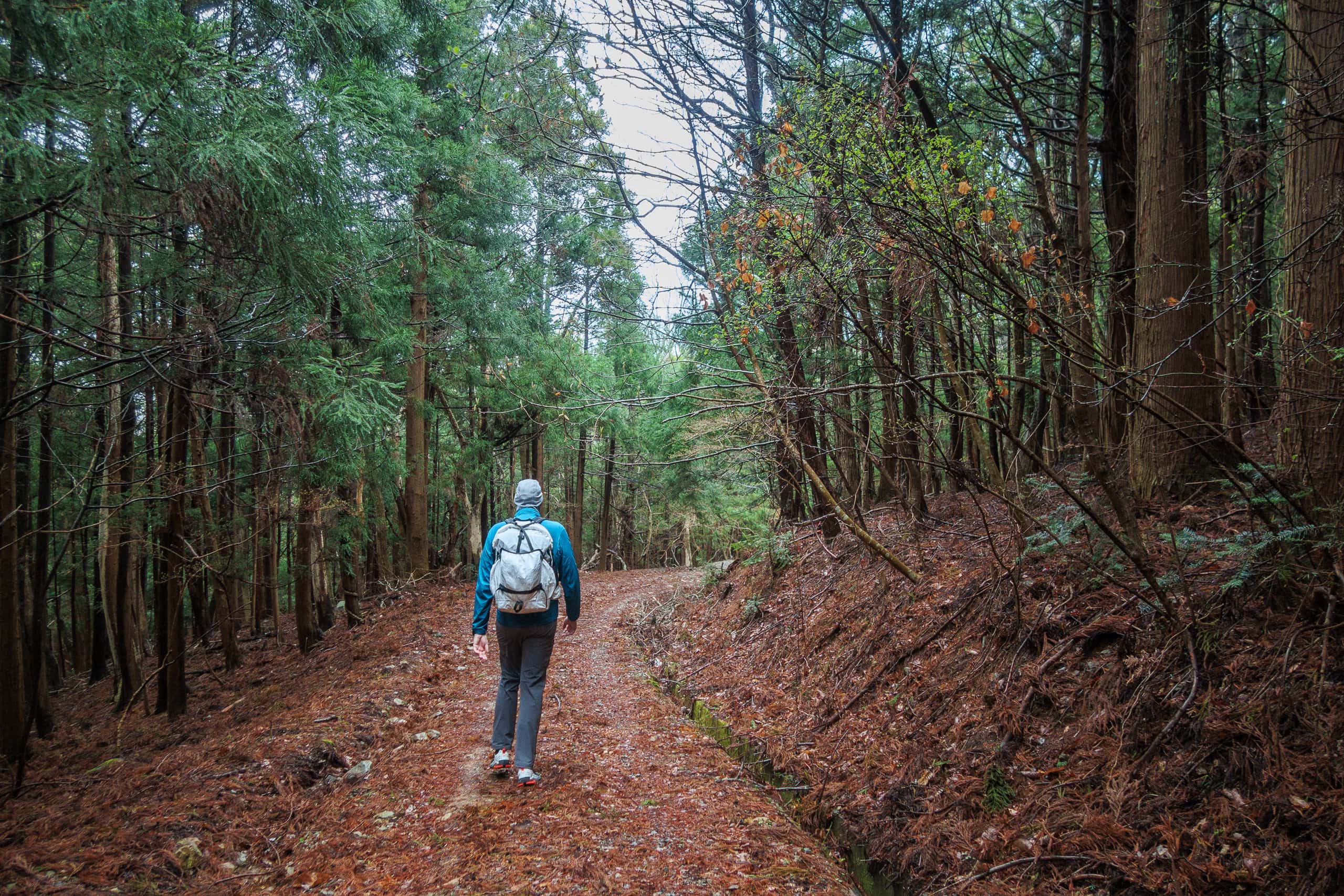
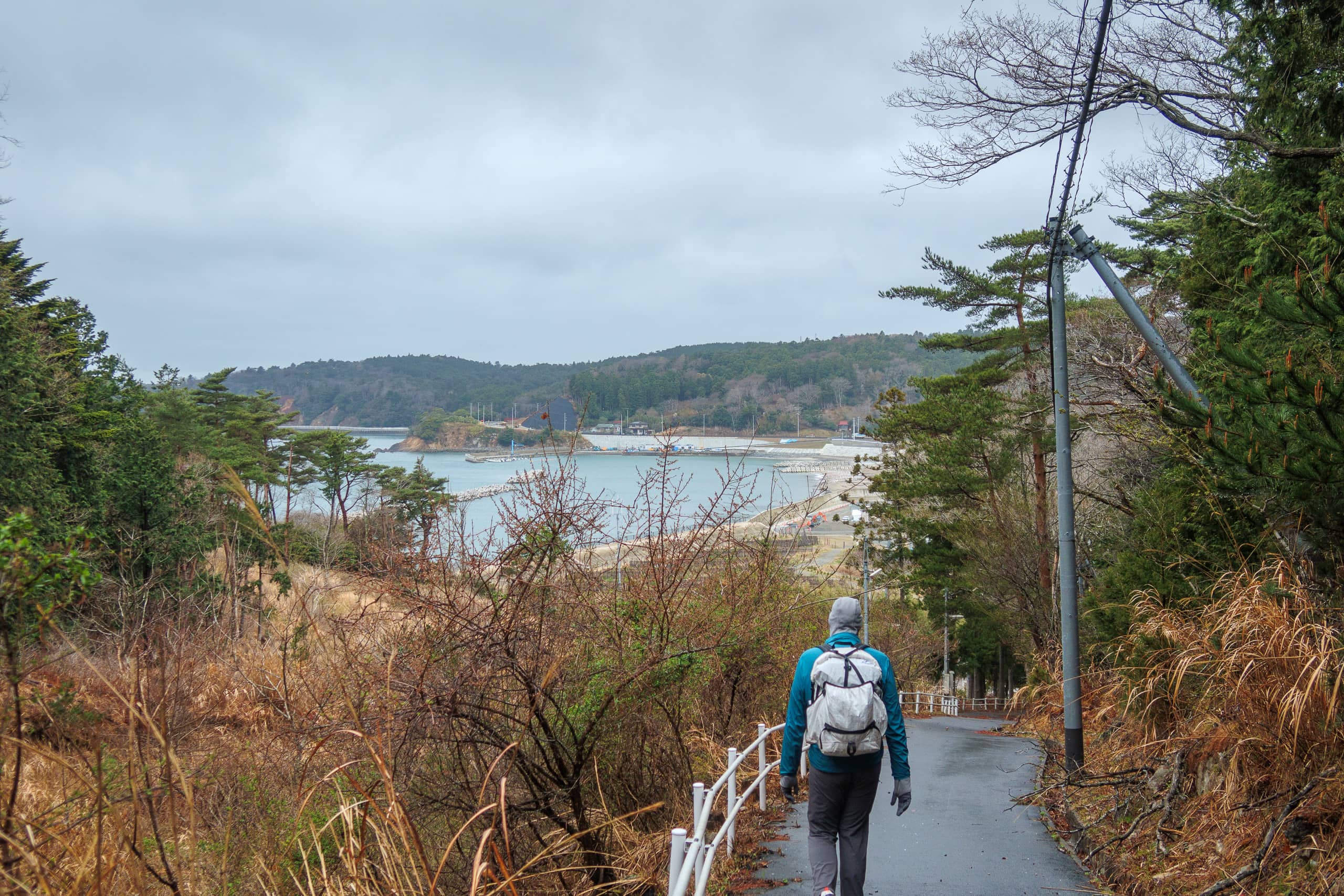
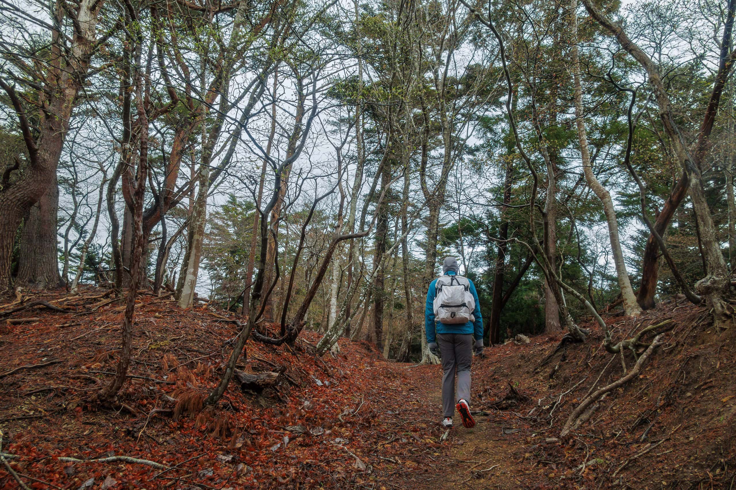
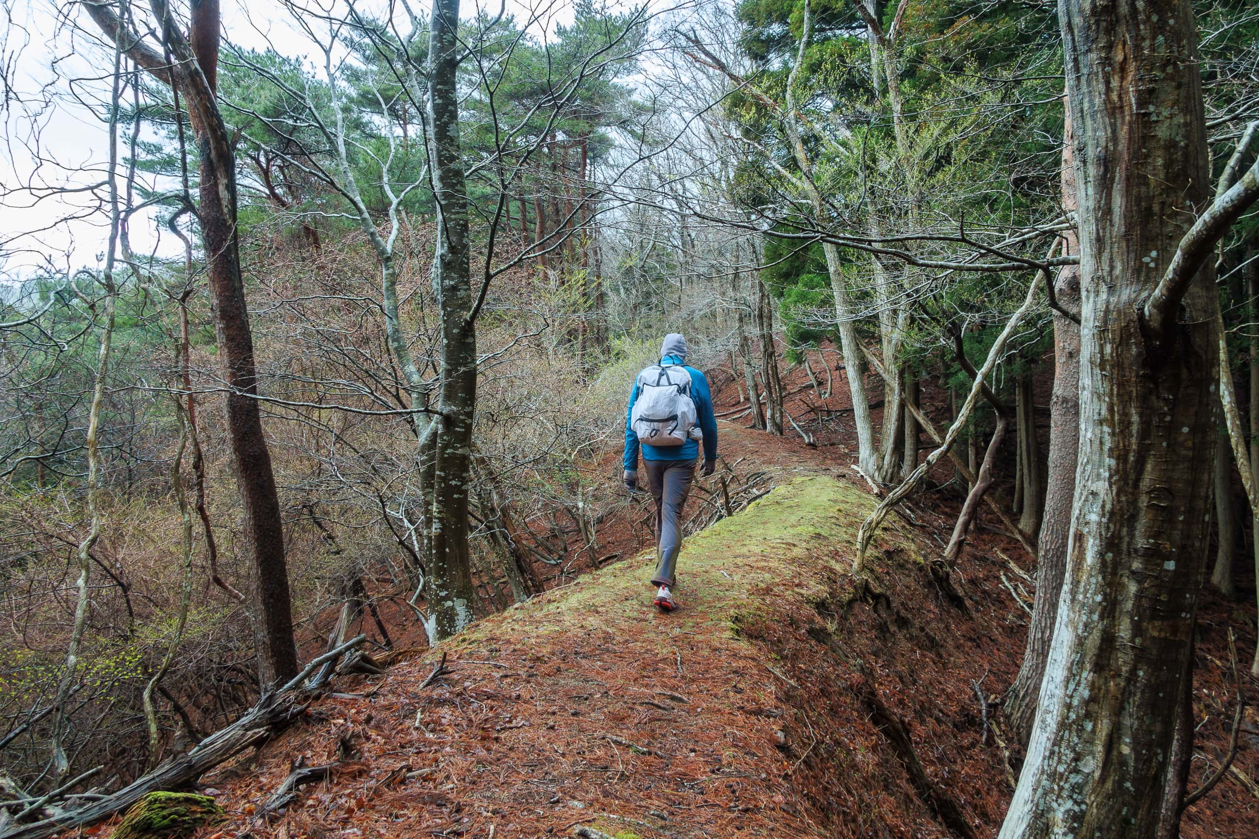
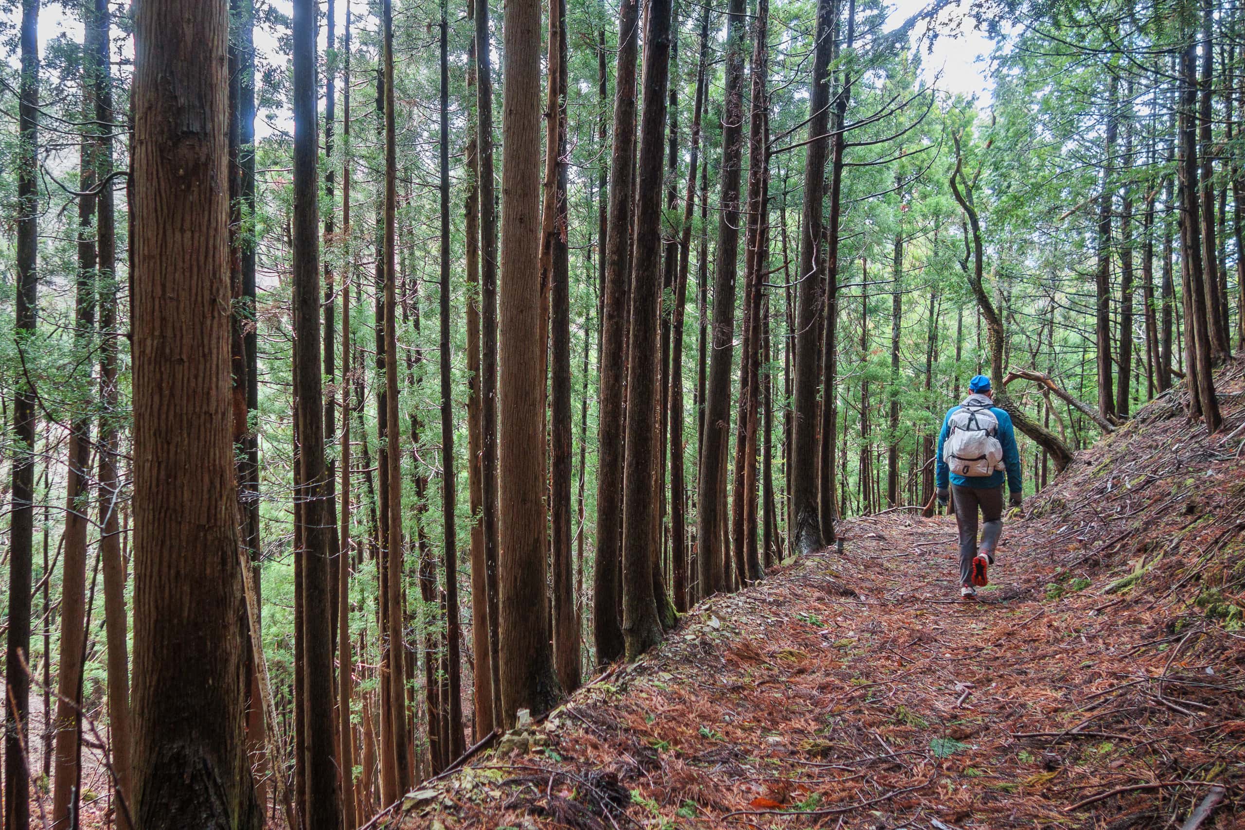
The MCT route rejoined the main road, then turned again onto a gentle forest path that descended gradually through the trees.
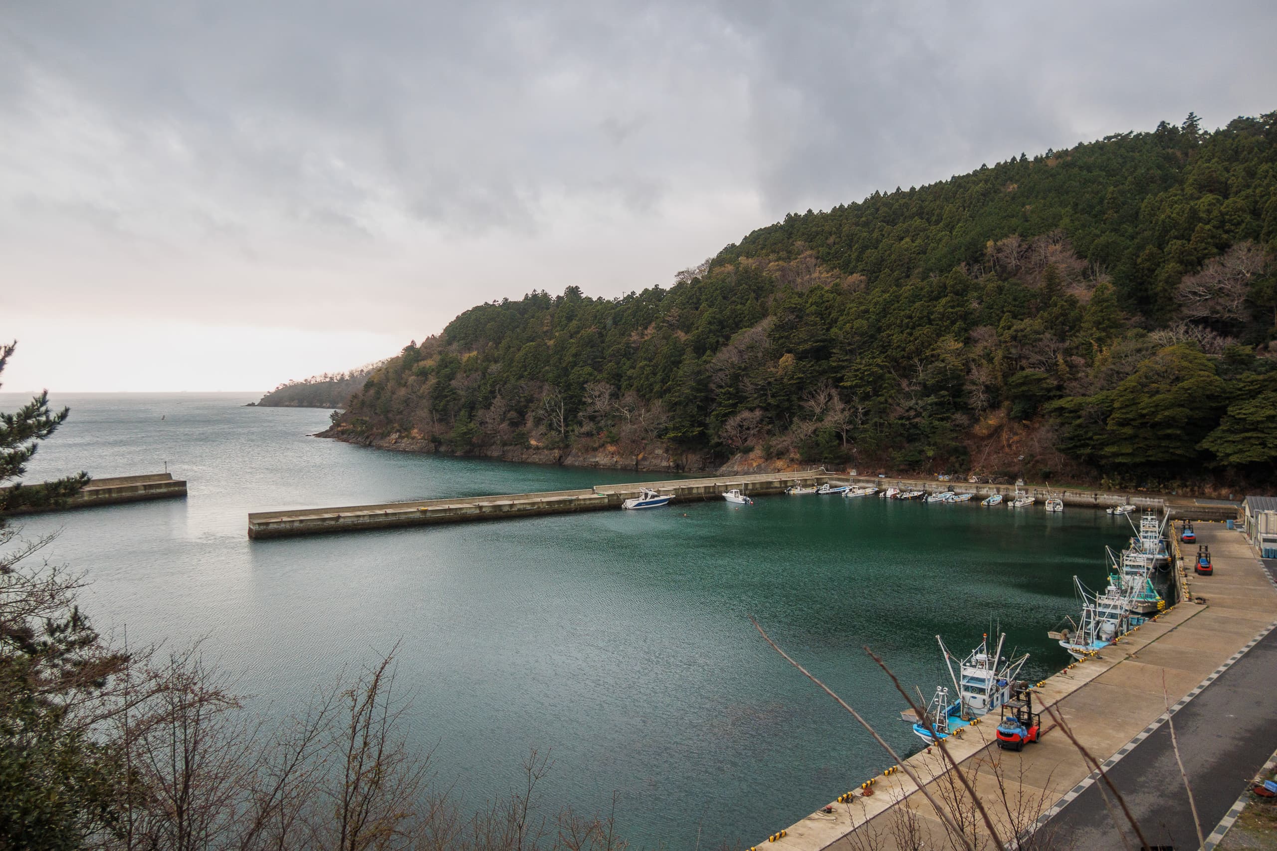
We emerged at the northernmost edge of the Ayukawa area, ending up on the far side of the port — only a few hundred meters from Whale Town Oshika. For hikers in a hurry (southbound to reach the port or northbound to continue), this 8 km circuit around Gobansho-yama can easily be skipped.
Although another long day of more than 30 km awaited us, I felt confident after managing 35 km in Ishinomaki a few days earlier. The cool, misty weather also helped. Before our final departure from Ayukawa, we returned to the visitor center for a clean bathroom and a hot drink from the vending machines.
Walking Along the Oshika Peninsula’s West Coastline
The misty rain showed no sign of stopping. My Arc’teryx Adahy Hoody and Finetrack warm dry-layer kept me comfortable without a rain jacket — for now.
Today we were heading north to Momonoura Fishery Port 桃ノ浦漁港. From there, Onagawa, at the neck of the Oshika Peninsula, is just a day’s hike away.
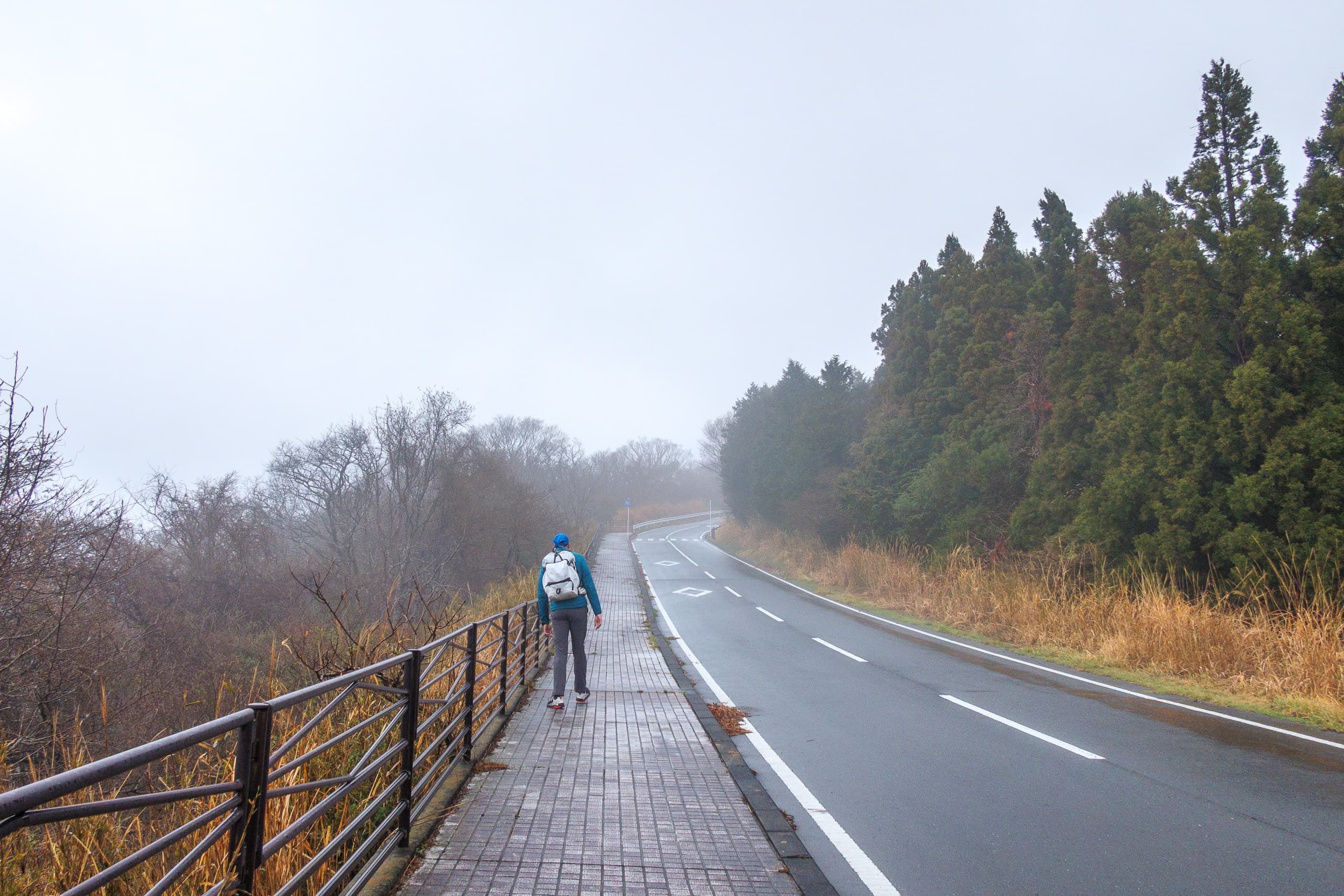
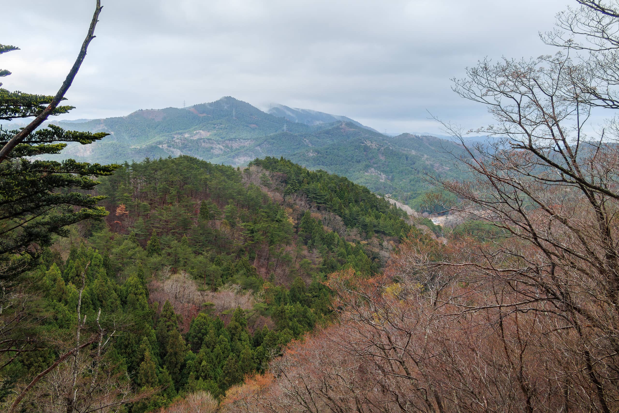
In this section the MCT follows Prefectural Road 2 (R-2) — a long, winding paved road along the peninsula’s west coast that traces the old Kinkasando 金華山道, once the main approach from Ishinomaki to Kinkasan. While modern R-2 shortcuts through two long tunnels, the MCT keeps to the traditional up-and-over passes, giving us two more stretches of natural trail.
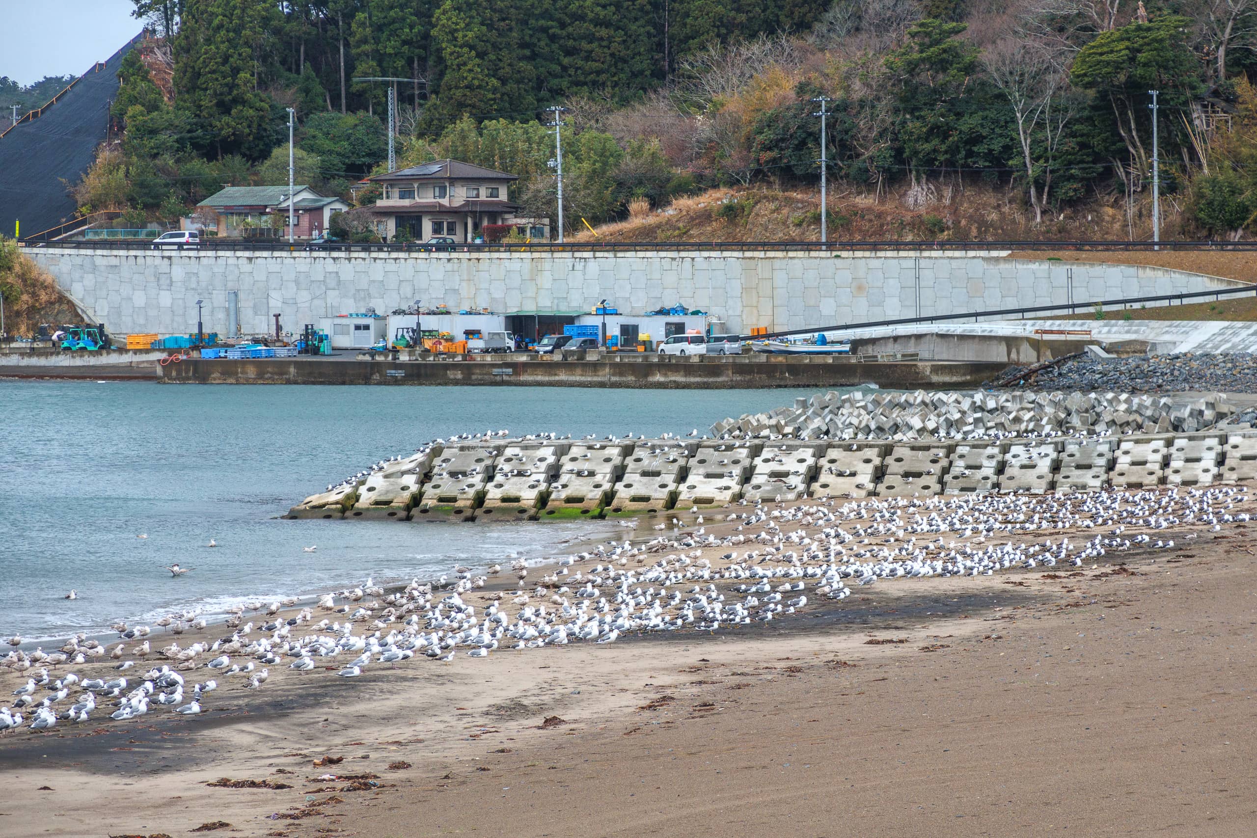
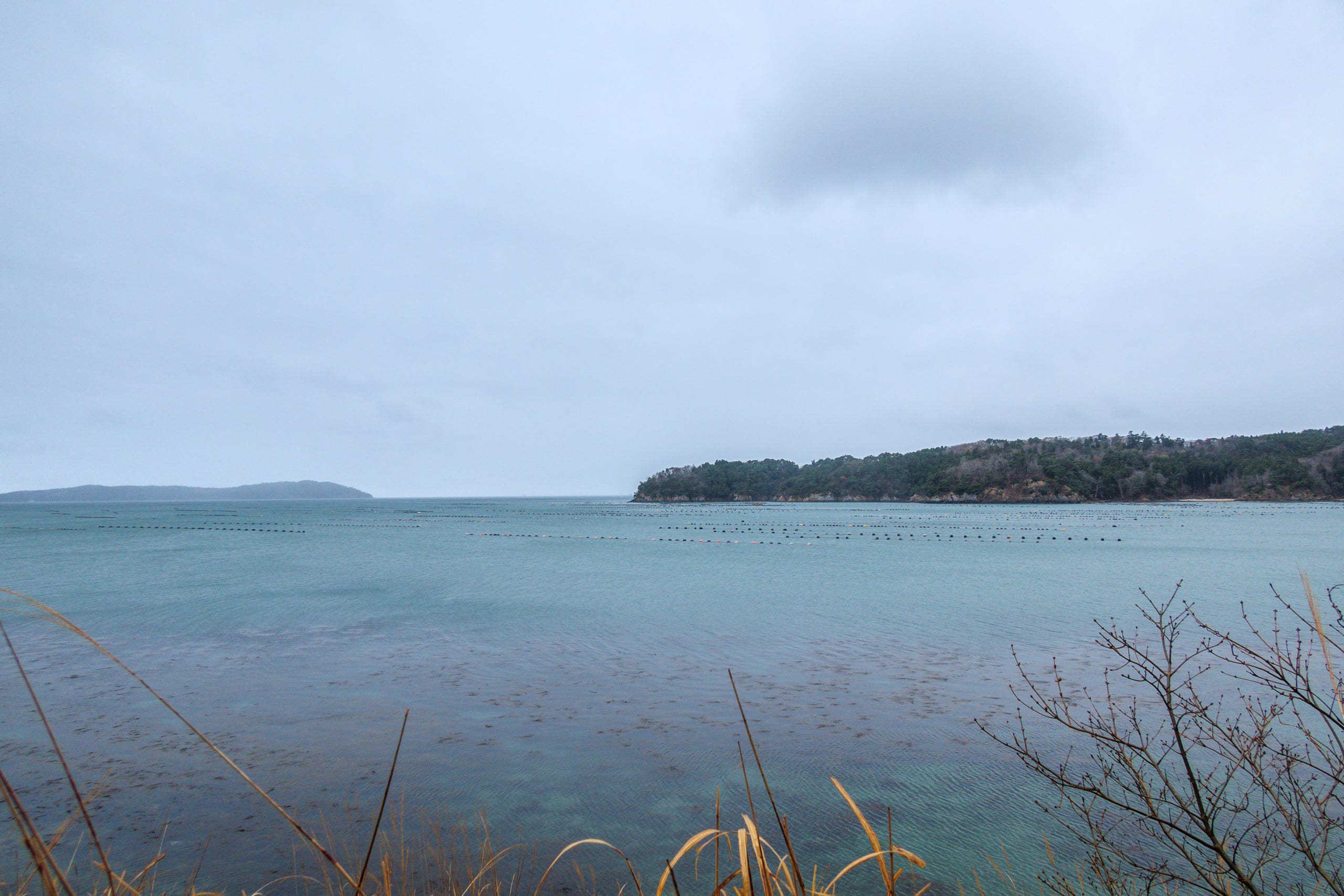
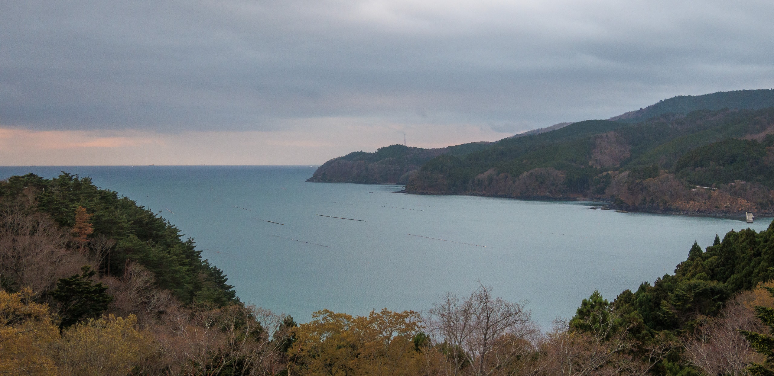
The west coast of Oshika is saw-toothed: a rhythm of small capes and sheltered bays. Each bay holds a tiny fishing port and hamlet.
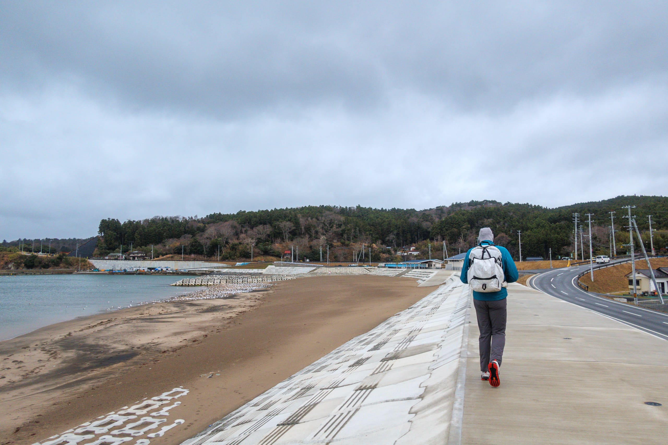
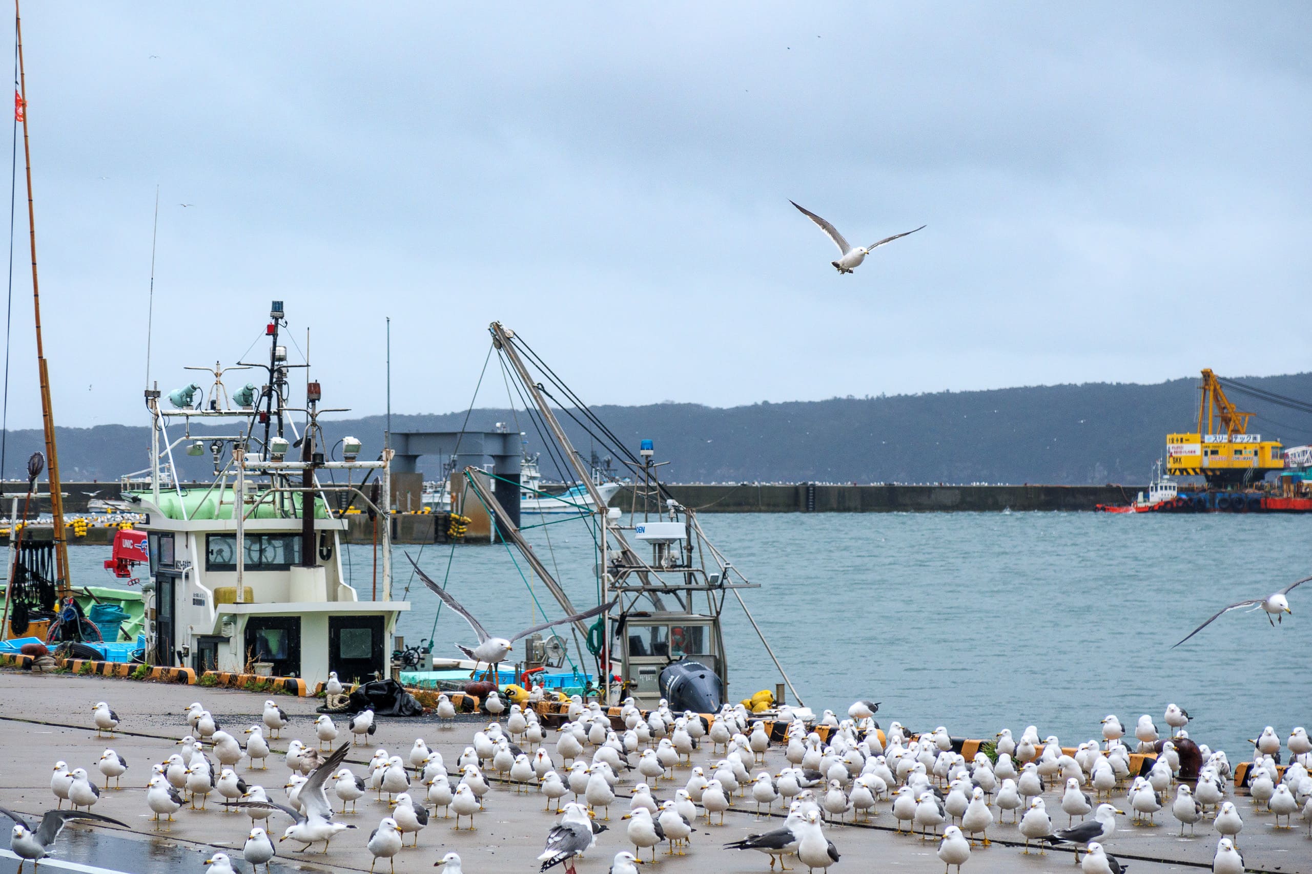
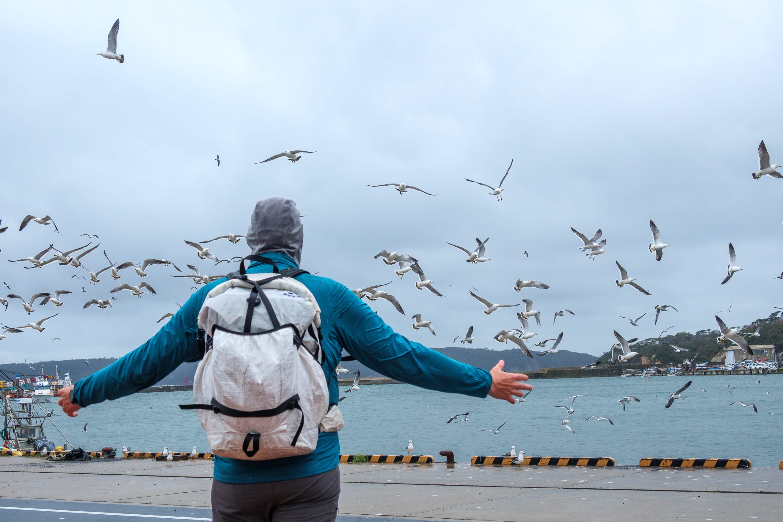
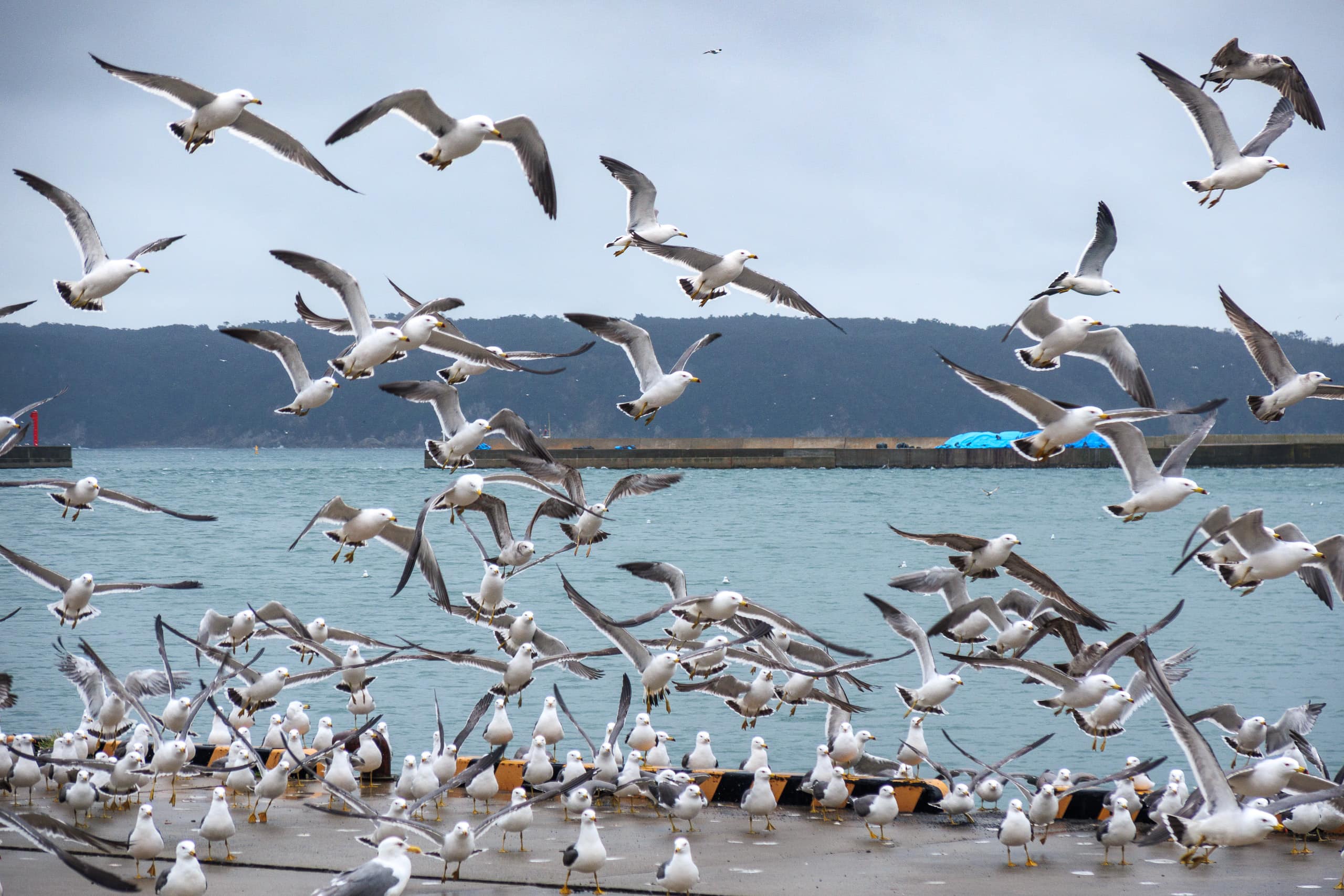
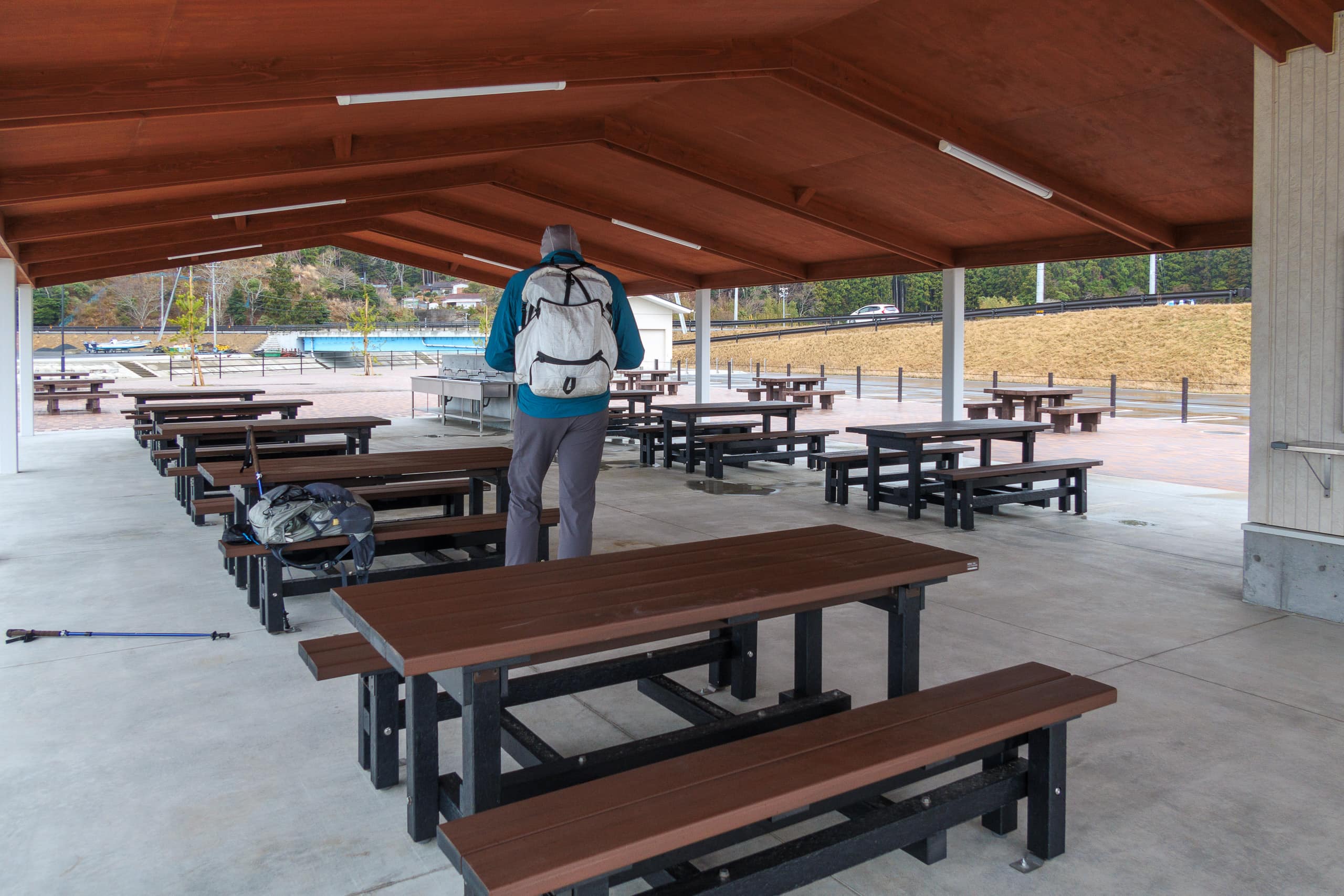
The first bay after Ayukawa was Kugunari-hama 十八成浜. Half the shoreline is a sandy swimming beach with a roofed picnic area and a shower/toilet building. Thankfully, the bathroom was unlocked and a vending machine was running, so we enjoyed a quick hot-drink break at a dry picnic table.
-e1628858243795.jpg)
- Daytime use only. No overnight camping.
- Showers closed in the off-season (beach opens mid-July to late August).
- No fires on the beach, under the roofed area, or on the concrete plaza.
The beach was deserted on this rainy spring day, but hundreds of gulls were resting—some even sun-bathing, in theory—at one corner.
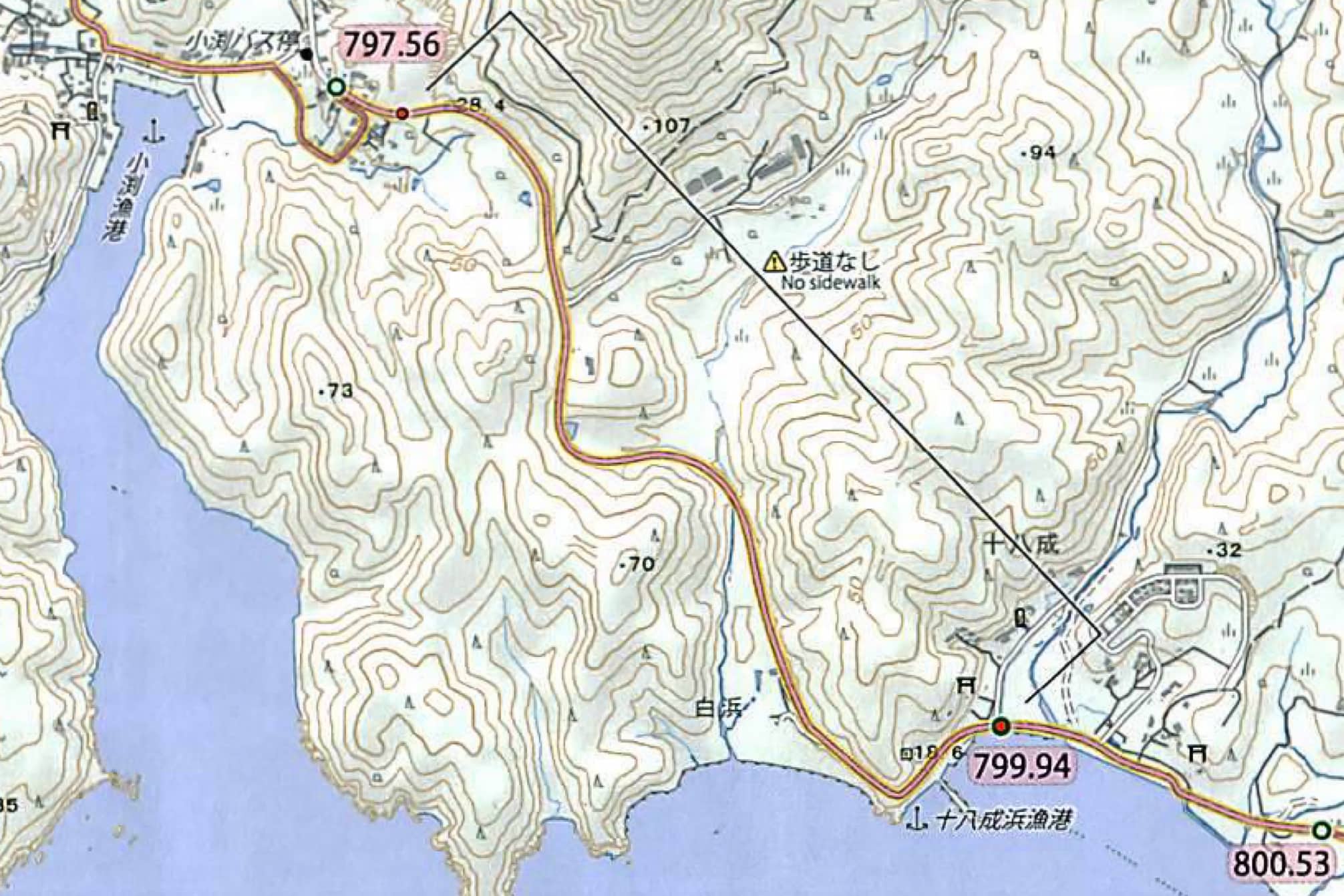
The next hamlet, Kobuchi 小渕, sits on a narrow bay about 5 km from Ayukawa. Instead of staying on R-2, the MCT detours through the fishermen’s neighborhood.
At corners, thousands of threaded scallop shells were stacked higher than my head like fortifications. We remembered Mr. Suzuki, the cheerful MCT supporter who ferried us from the last Urato island — he had shown us how these scallop shells are used to grow oysters.
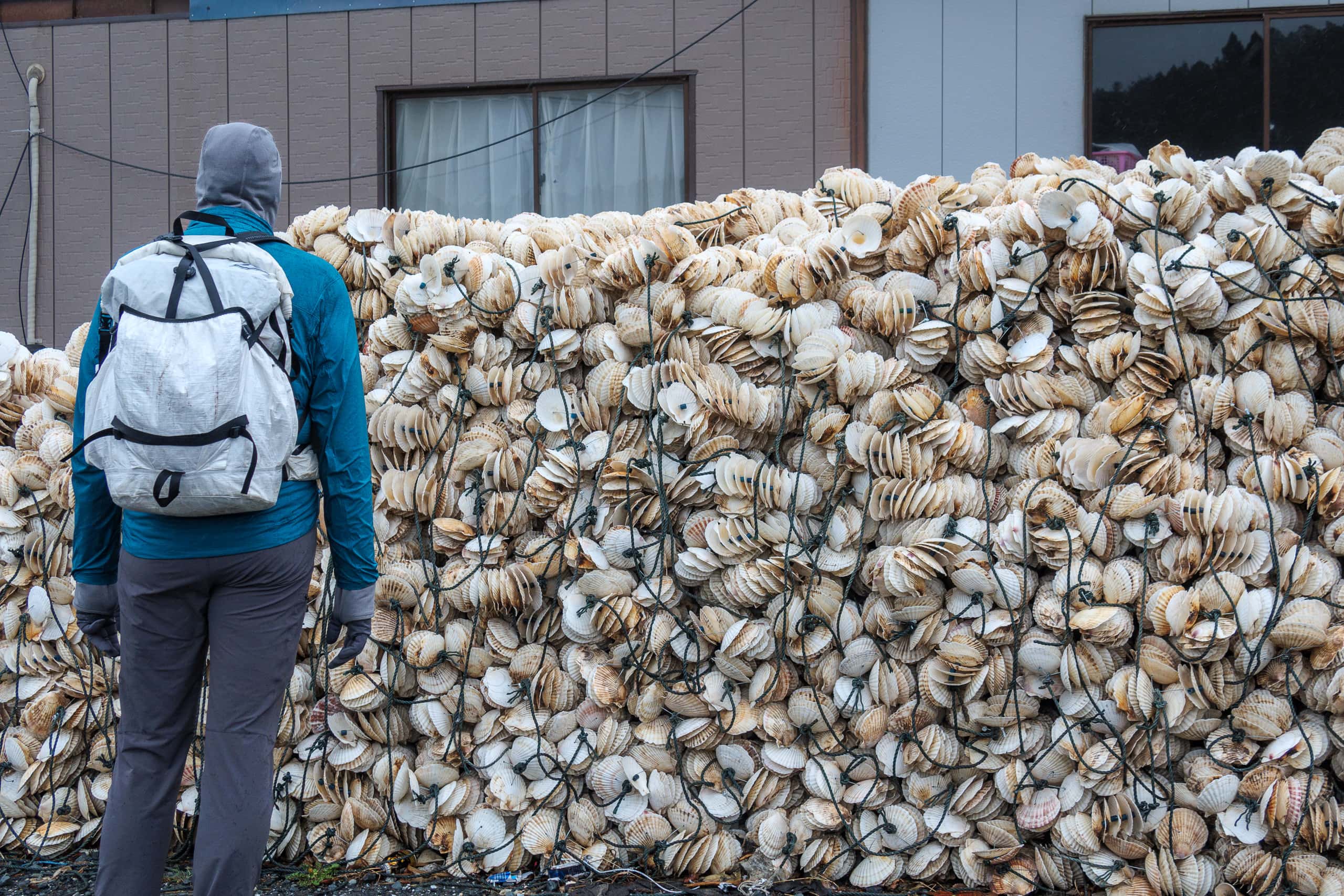
Erik snapped a photo of the “shell walls” and joked on Facebook: “We found where all the Camino de Santiago shells are imported from!”
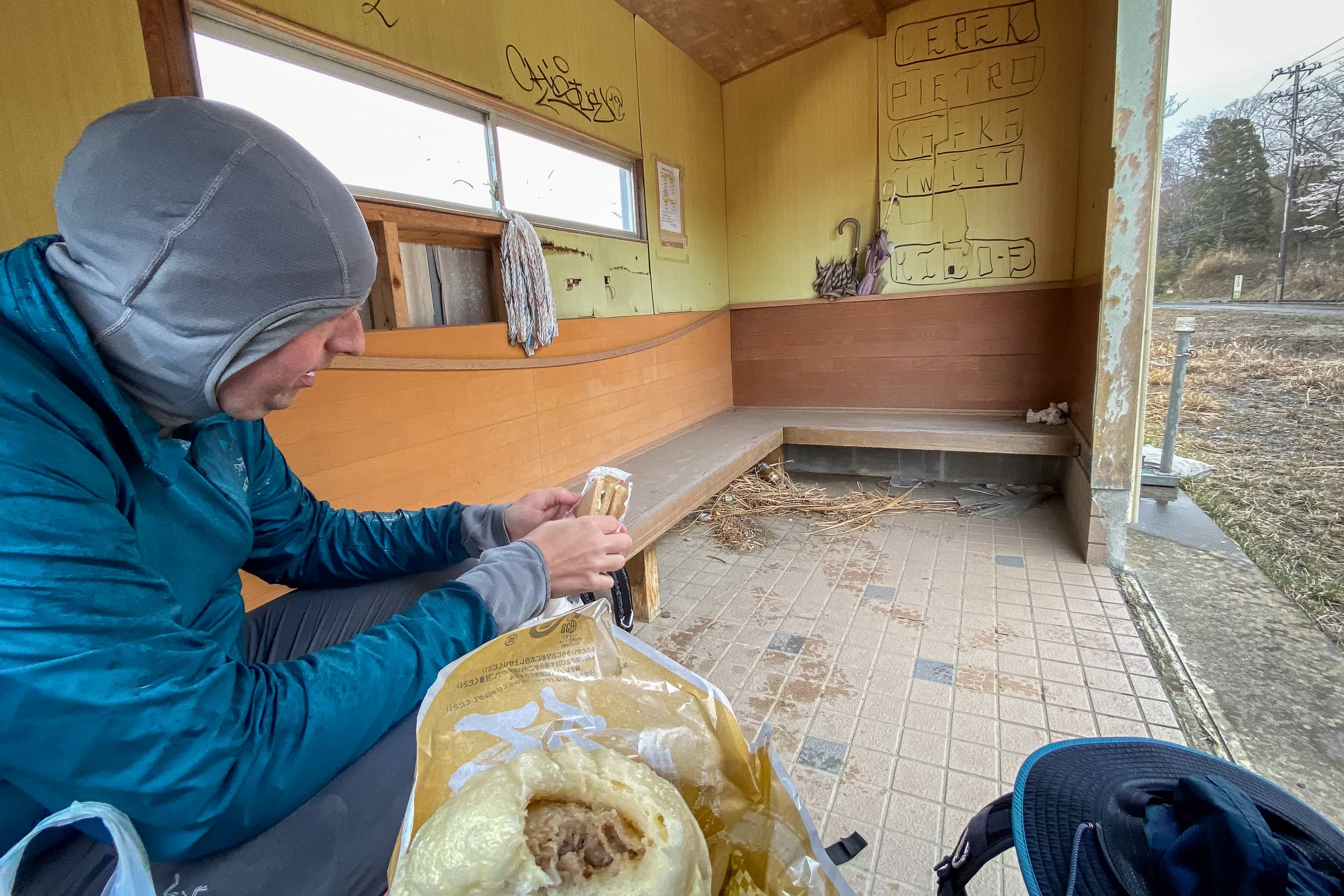
Today’s only convenience store sat, ironically, on the R-2 segment we’d skipped to follow the MCT strictly. We happily walked a few hundred meters back to stock up — our last supply point with two-thirds of the day still ahead.
There were no eat-in tables, so our plan for a dry lunch spot evaporated. We kept walking, scanning for a rest hut or any roofed space — a shrine terrace, a temple eave — where we could sit without bothering residents. Soon we spotted a concrete roadside shelter with benches and a bus-stop sign out front. The timetable showed no bus due soon and no one waiting, so we settled in with microwaved hot meals — simple, warm, and perfect.
The rain stayed misty, but my hoody finally began to wet out. With the much lower temperature and a steady, chilly onshore wind, I started to feel cold when we weren’t moving. Even passing trucks threw gusts at us. I pulled on my rain jacket to keep the warmth in. Better early than sorry.
Not-So-Good Things About Walking on R-2
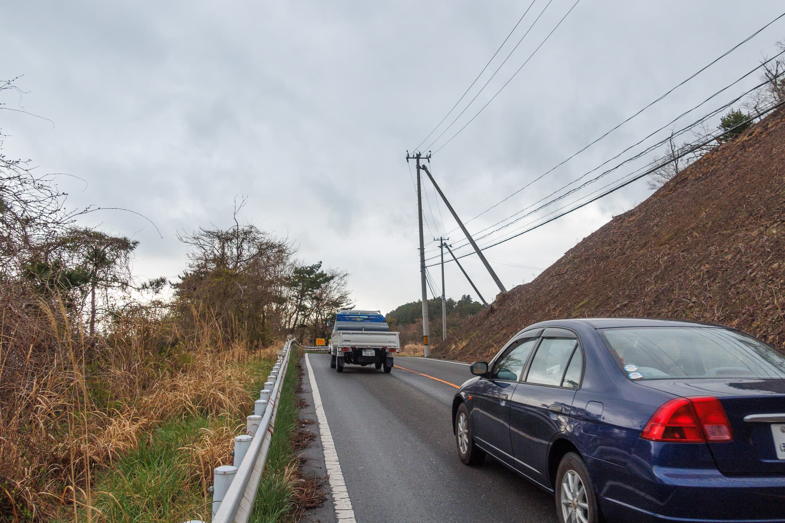
As we walked along R-2 between bays, two things kept bothering us.
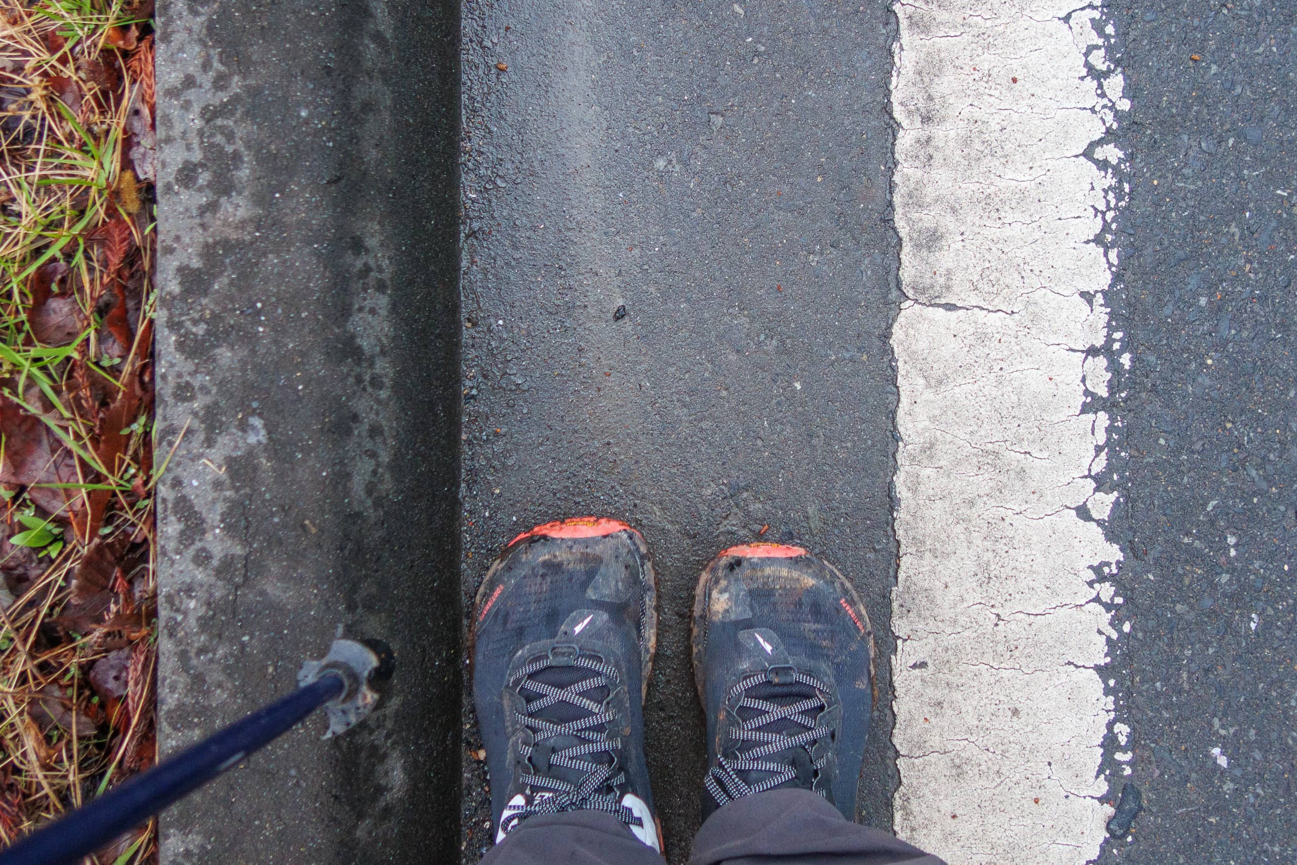
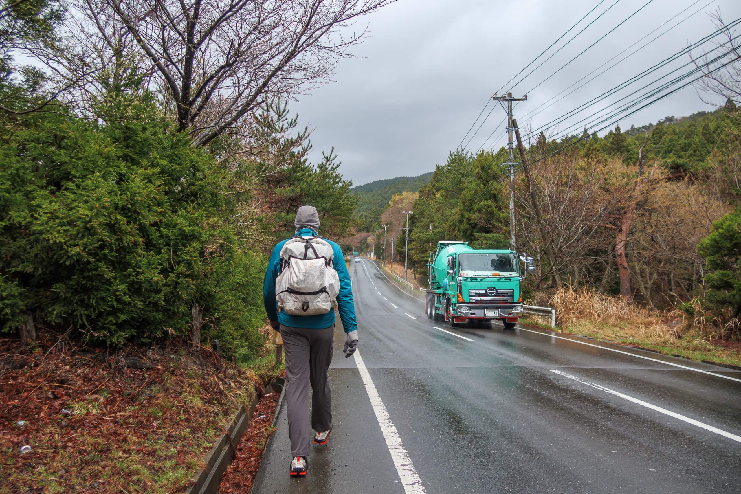
First: the road shoulders were extremely narrow — sometimes almost nonexistent.
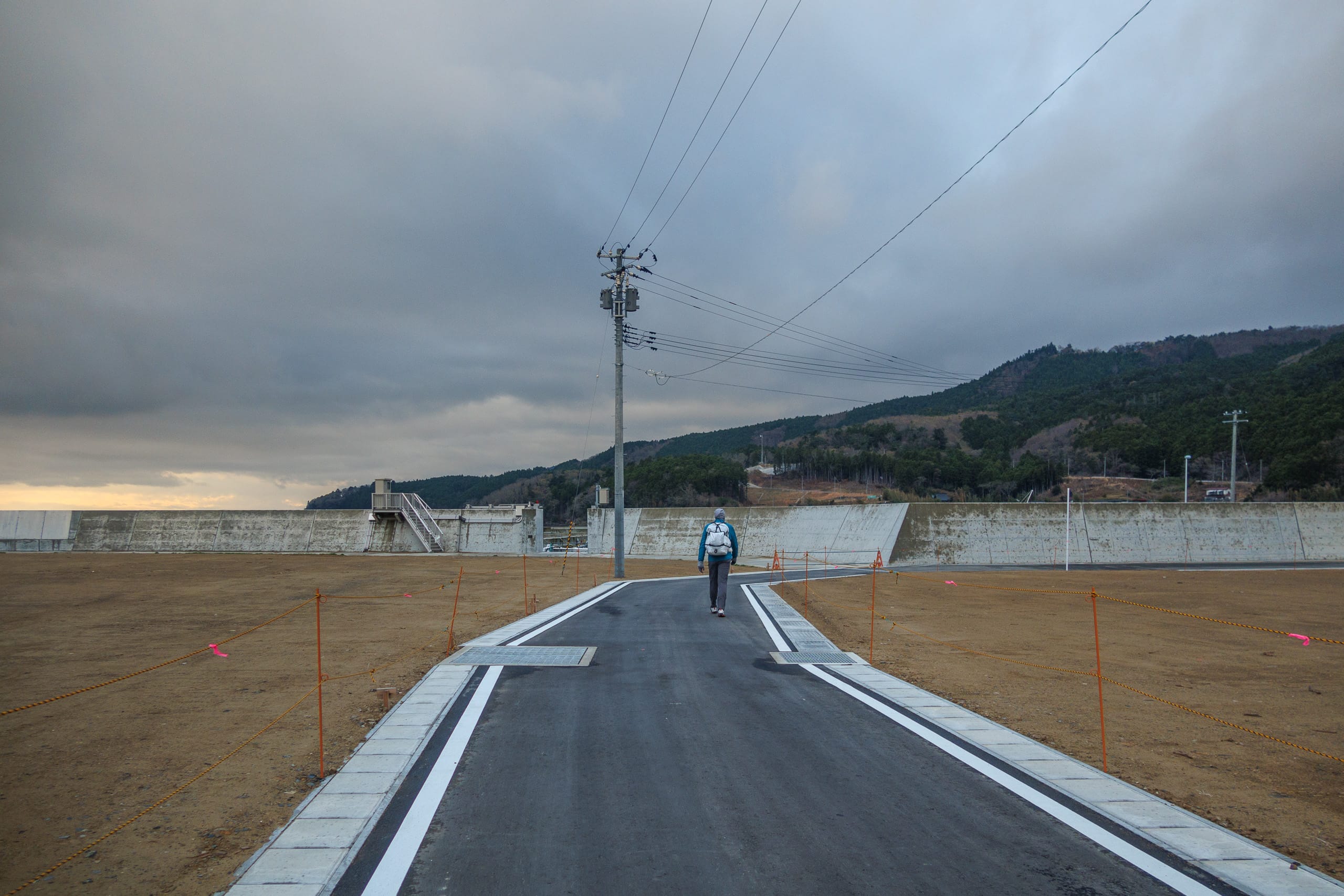
R-2 is the main artery connecting downtown Ishinomaki and Ayukawa, and traffic moves in both directions all day. While the parts through towns and ports have sidewalks or at least a bit of shoulder space, the stretches across wooded capes clearly weren’t designed for pedestrians. Some shoulders were barely 30 centimeters wide, separated from speeding vehicles by nothing more than a white painted line. The MCT official Mapbook (Vol. 8) even marks this section with warnings.
Like everywhere along the Pacific coast of Tohoku, major construction was underway here — new seawalls, rebuilt roads, and endless truck traffic. Walking on a narrow shoulder while massive dump trucks roared past only centimeters from our arms was far from relaxing.
Second: litter.
Roadside trash was everywhere — mostly empty cans and PET bottles scattered through the grass and under the trees. It wasn’t limited to one stretch but continued for kilometers.
Most of the cans were coffee or tea, but we also saw a surprising number of beer and other alcoholic drink cans, many looking freshly tossed, as if from the same morning. It was depressing to keep walking beside that constant line of litter.
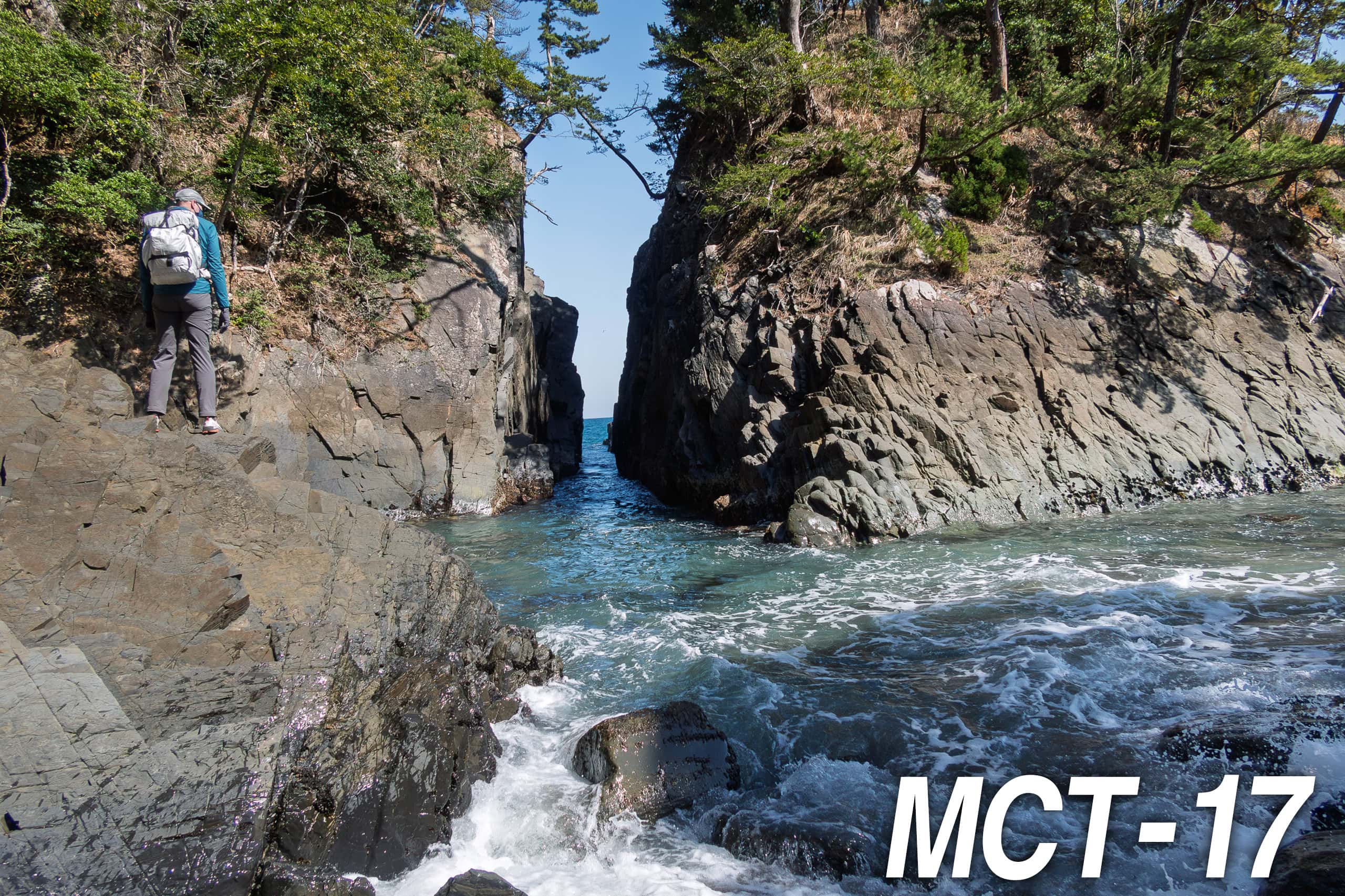
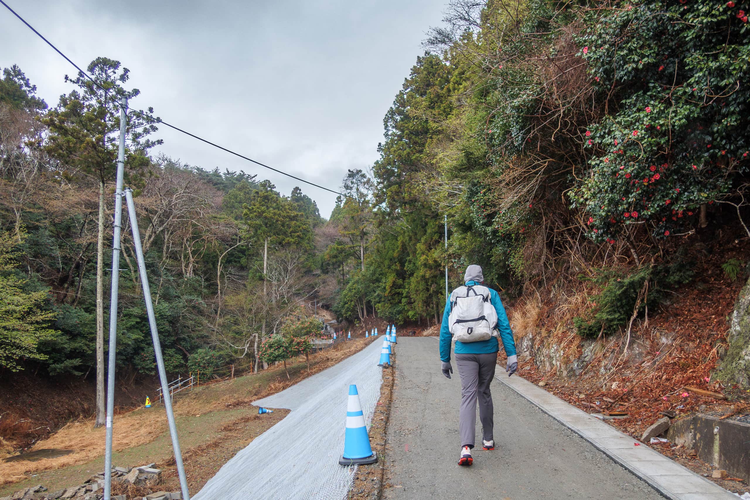
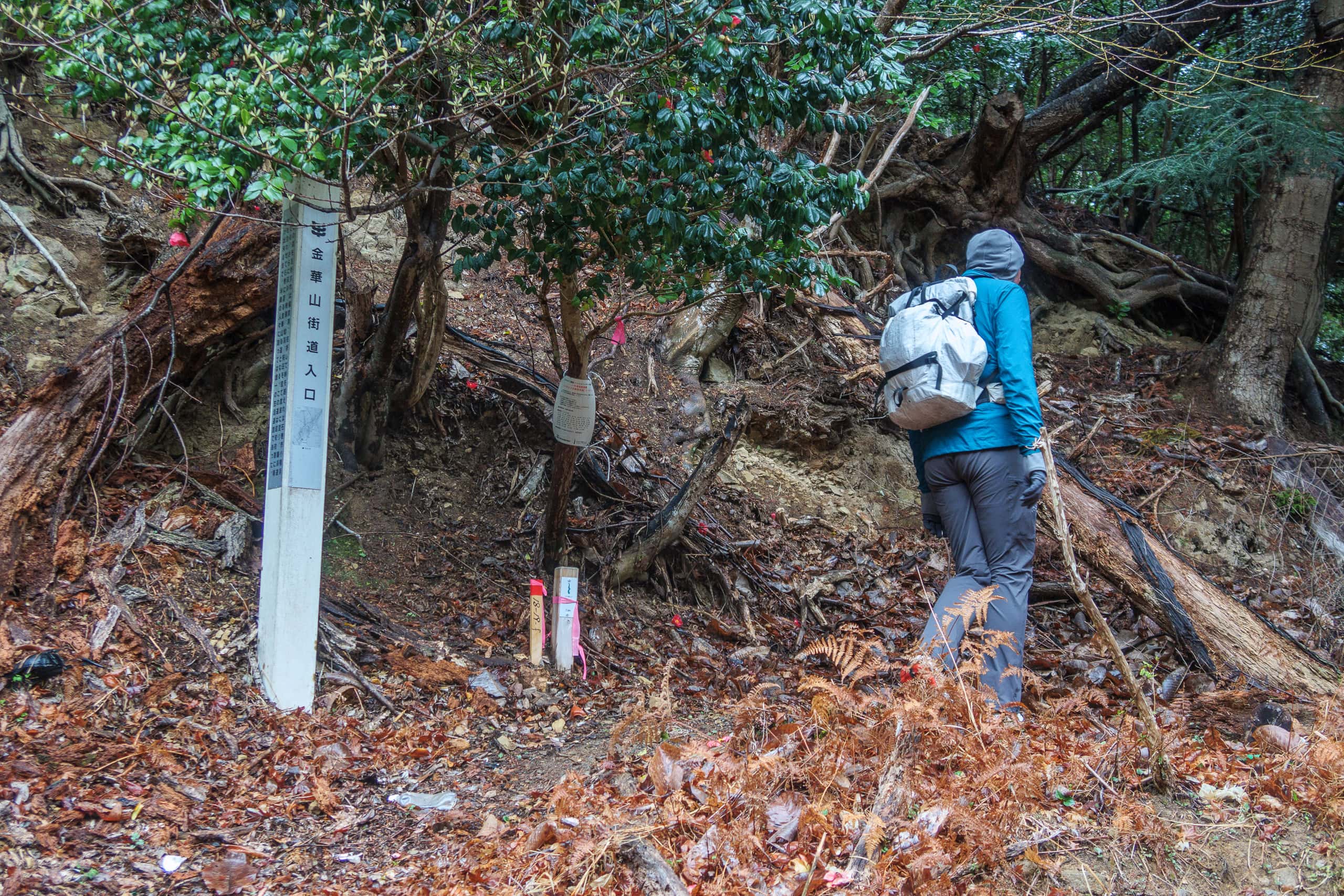
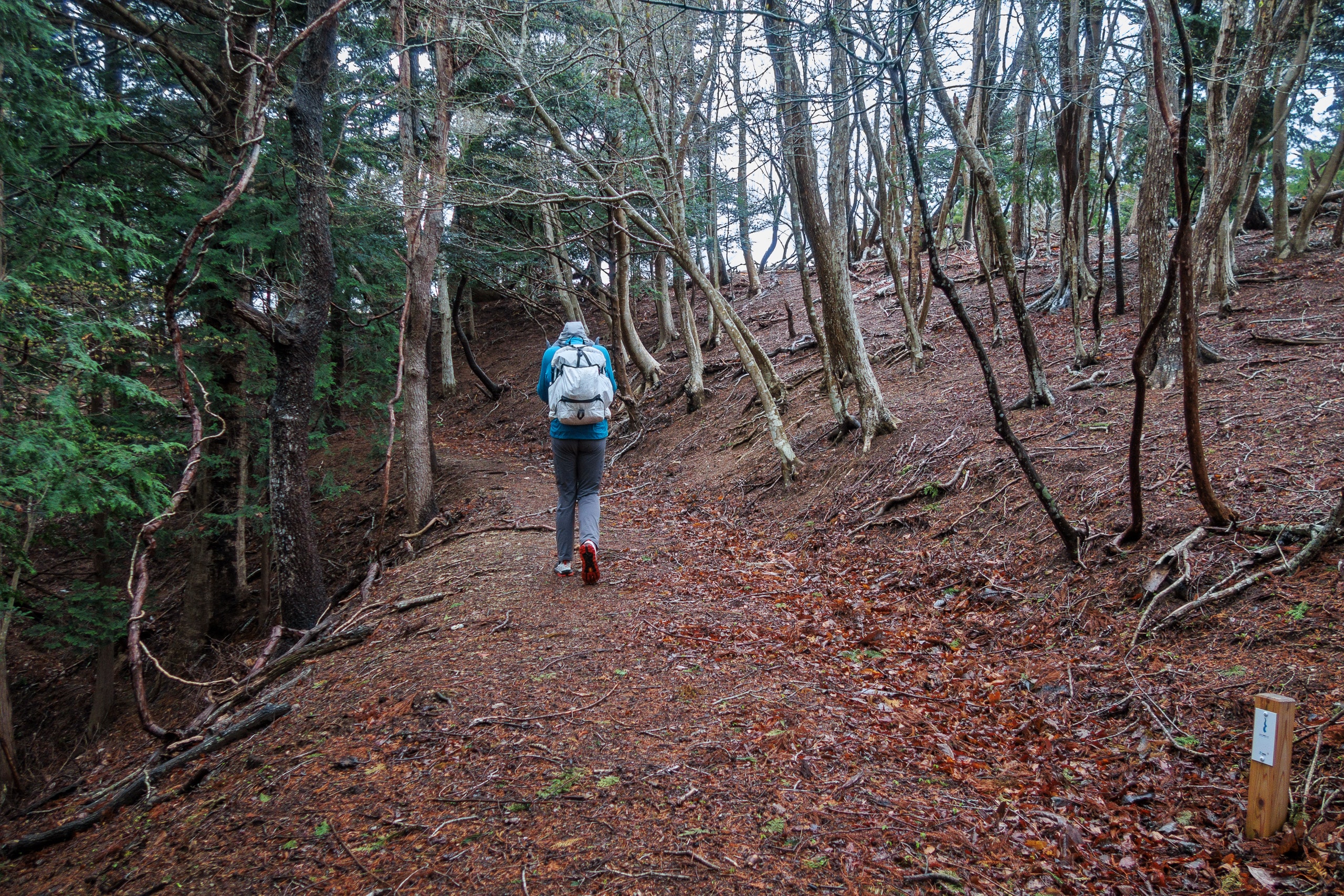
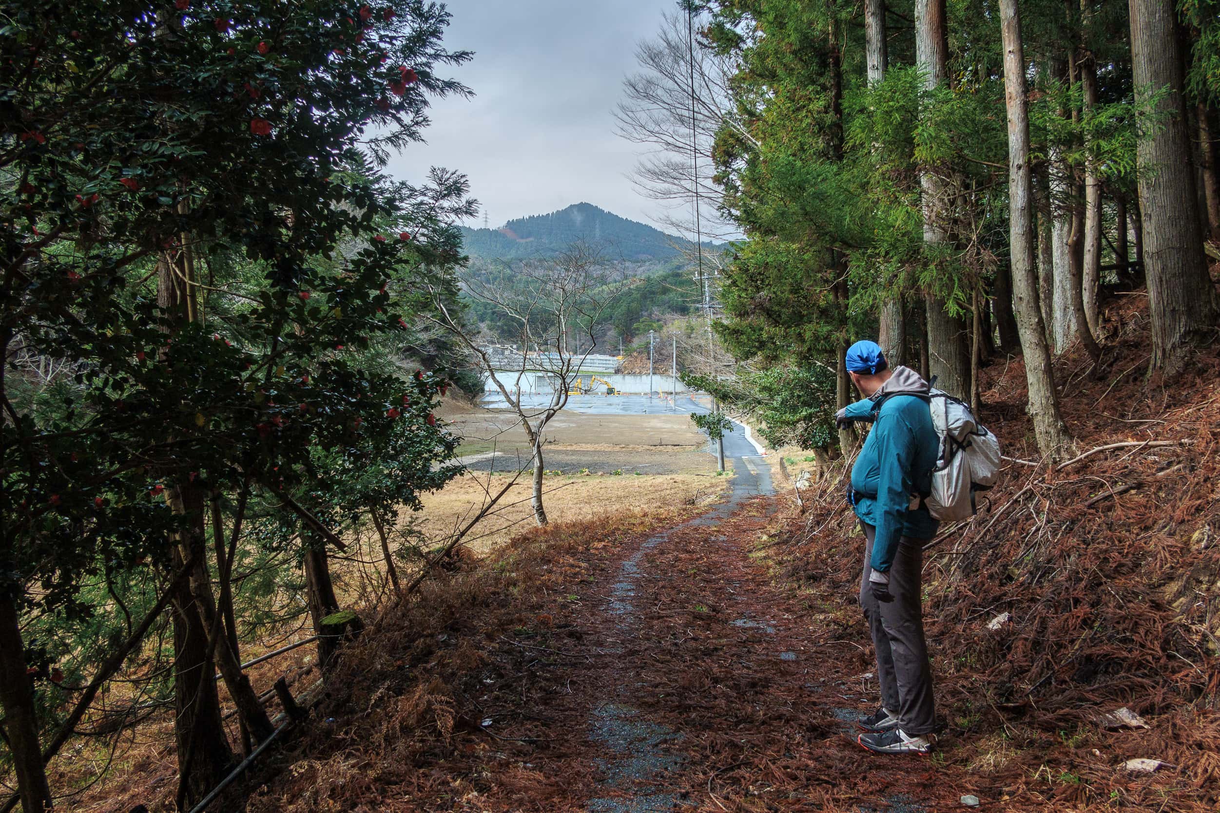
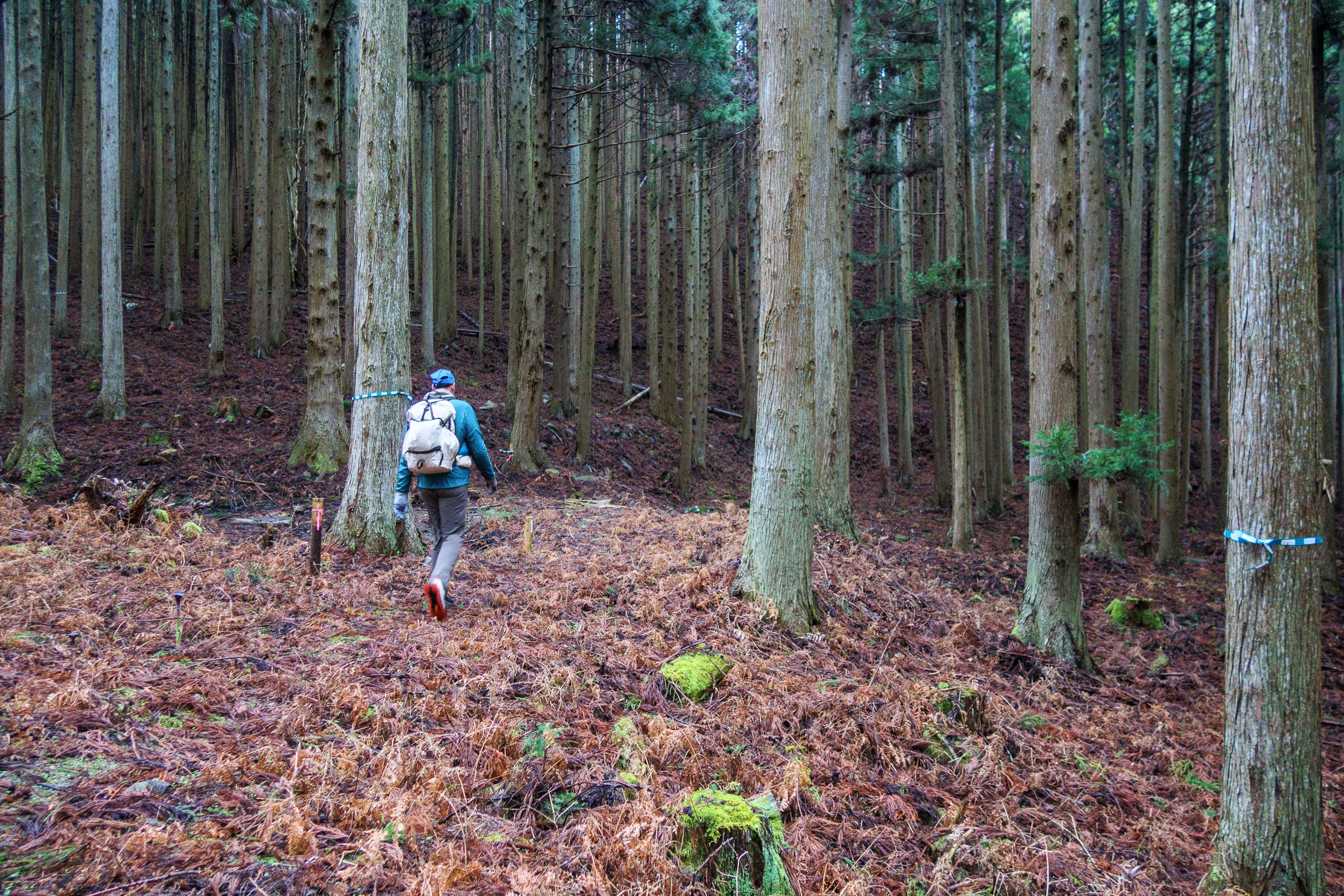
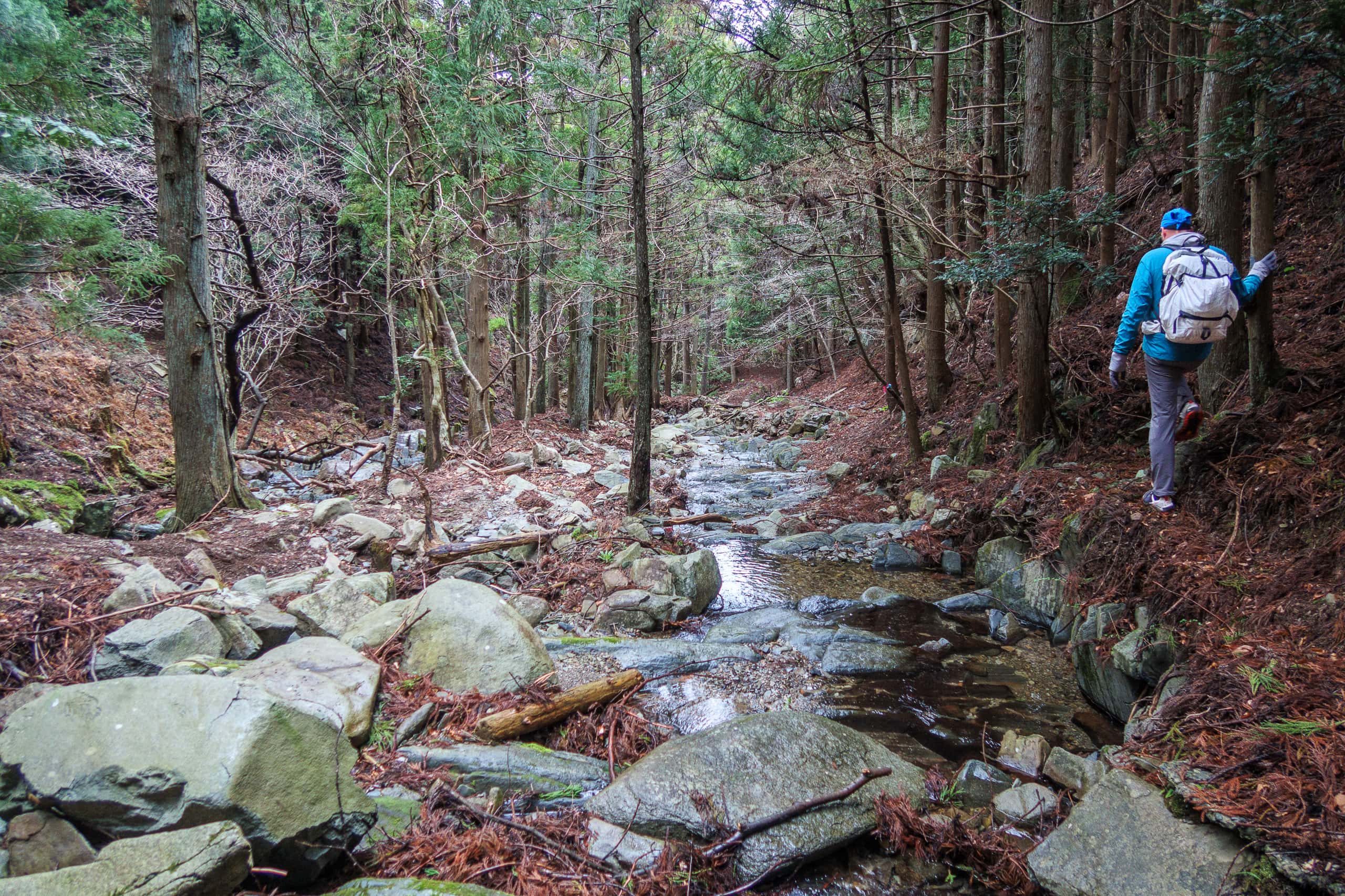
Kozumi-toge Pass — Kinkasan Pilgrimage Route
Our second natural trail of the day began at Koamikura Port 小網倉漁港. Following MCT stickers and blue-green tape, we turned onto a narrow side road under paving construction. A few workers glanced over but didn’t stop us, so we greeted them softly and continued.
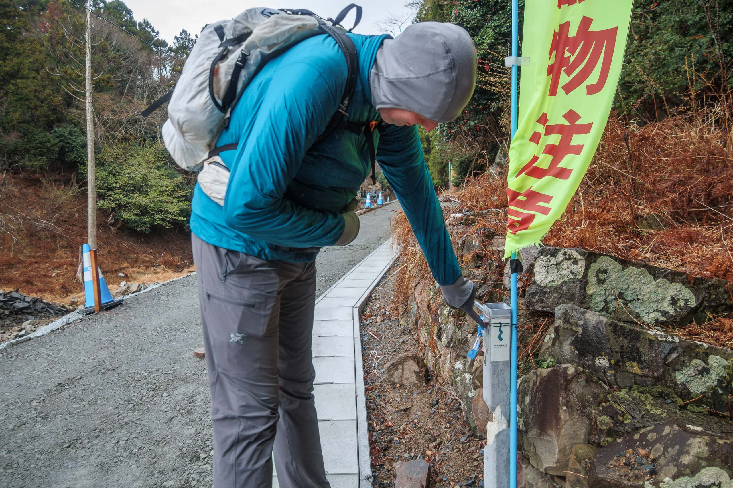
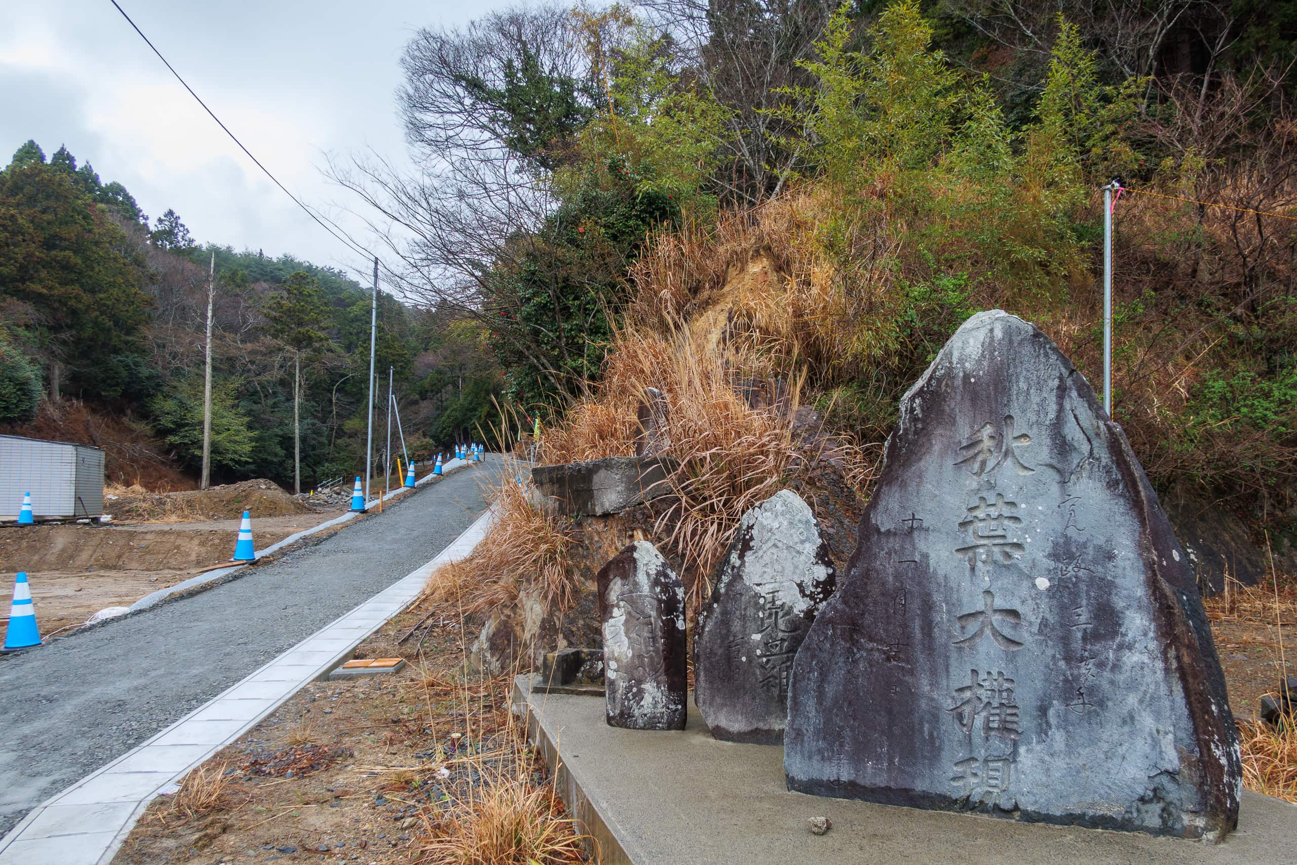
The trailhead lay behind a cemetery. A small sign with local history noted that this path was the only road here until R-2 was built in the late 1920s.
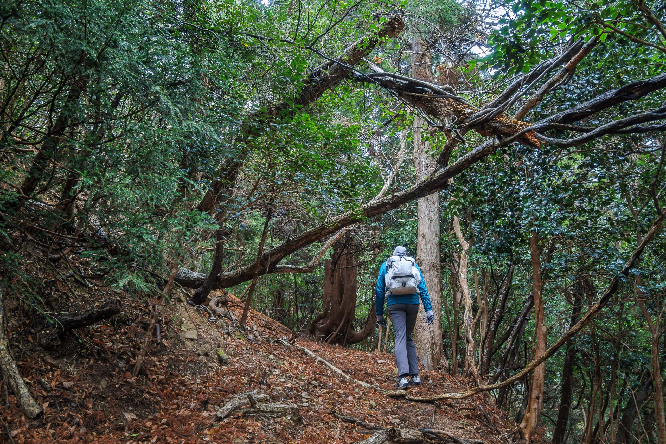
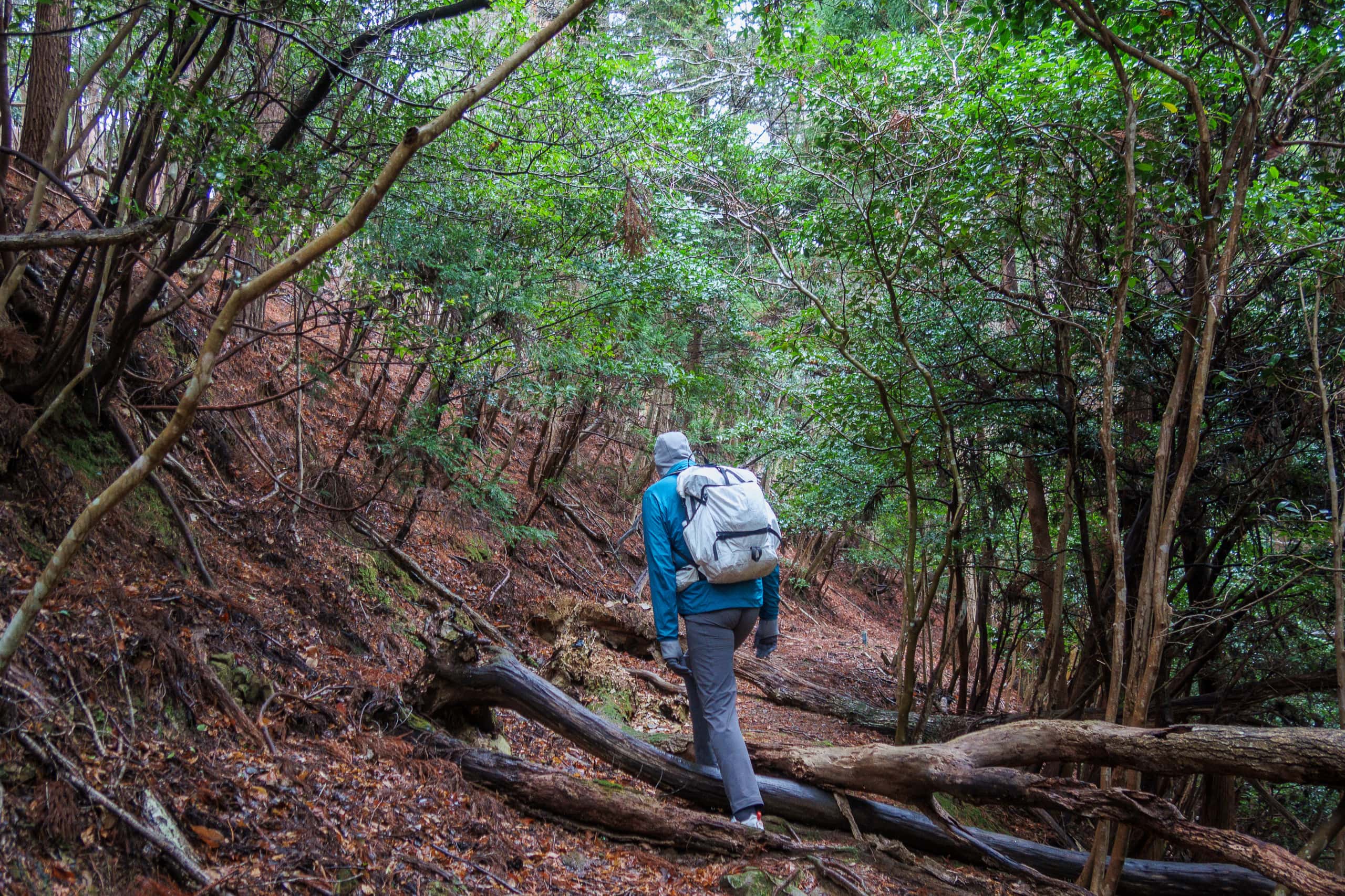
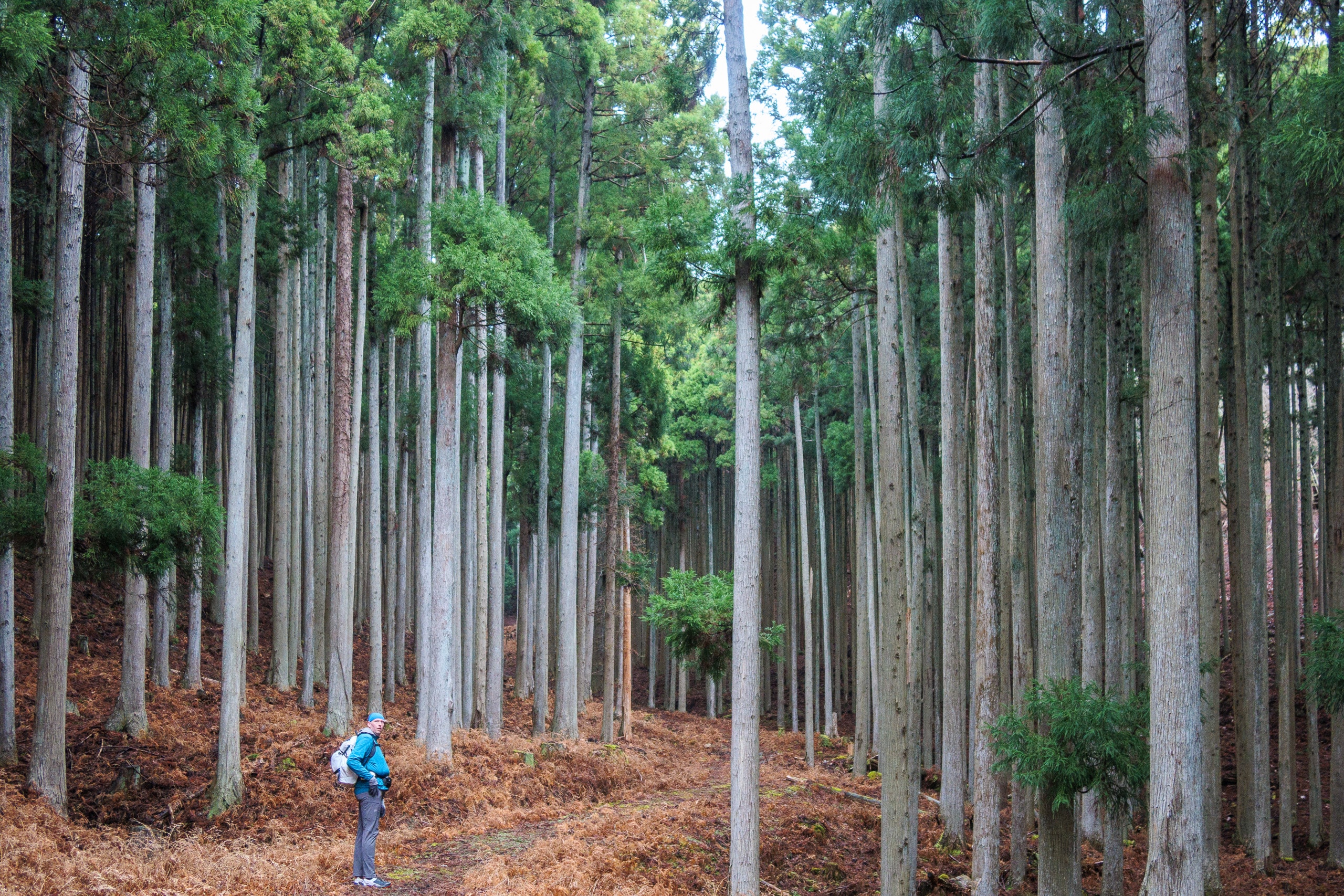
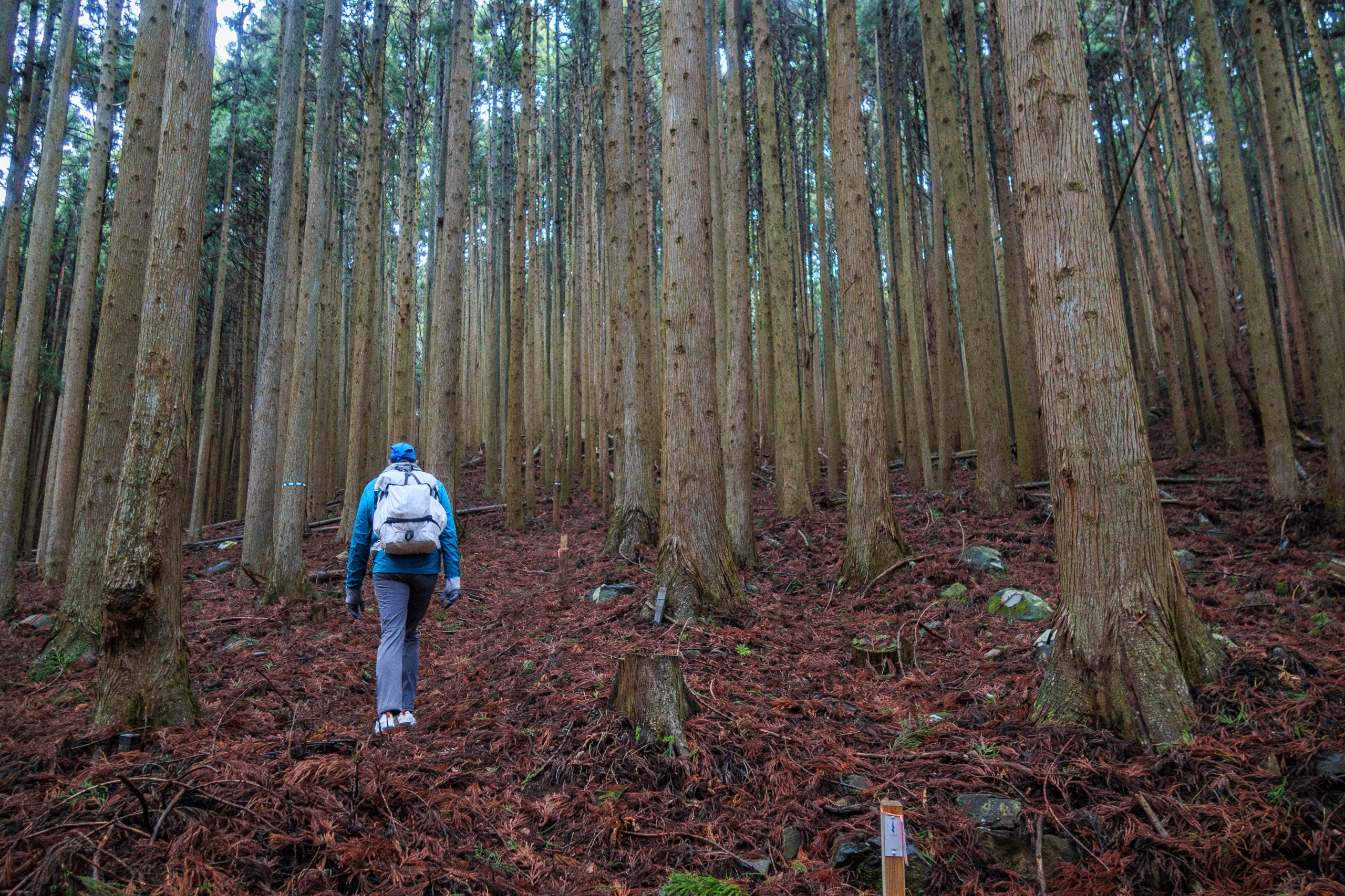
For three kilometers the natural-surface trail was wide and gradual enough for carts, horses, and cattle, and was well maintained except for the occasional fallen tree. Thick, wet red-orange leaves carpeted the ground, giving our feet a springy cushion the entire way.
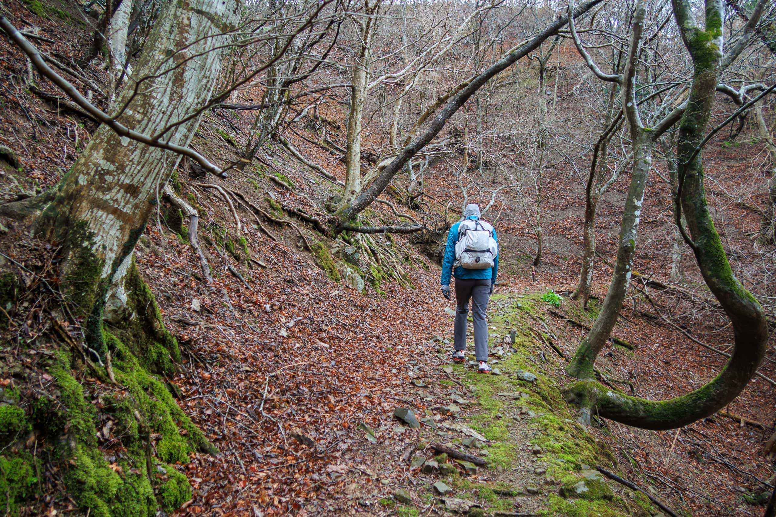
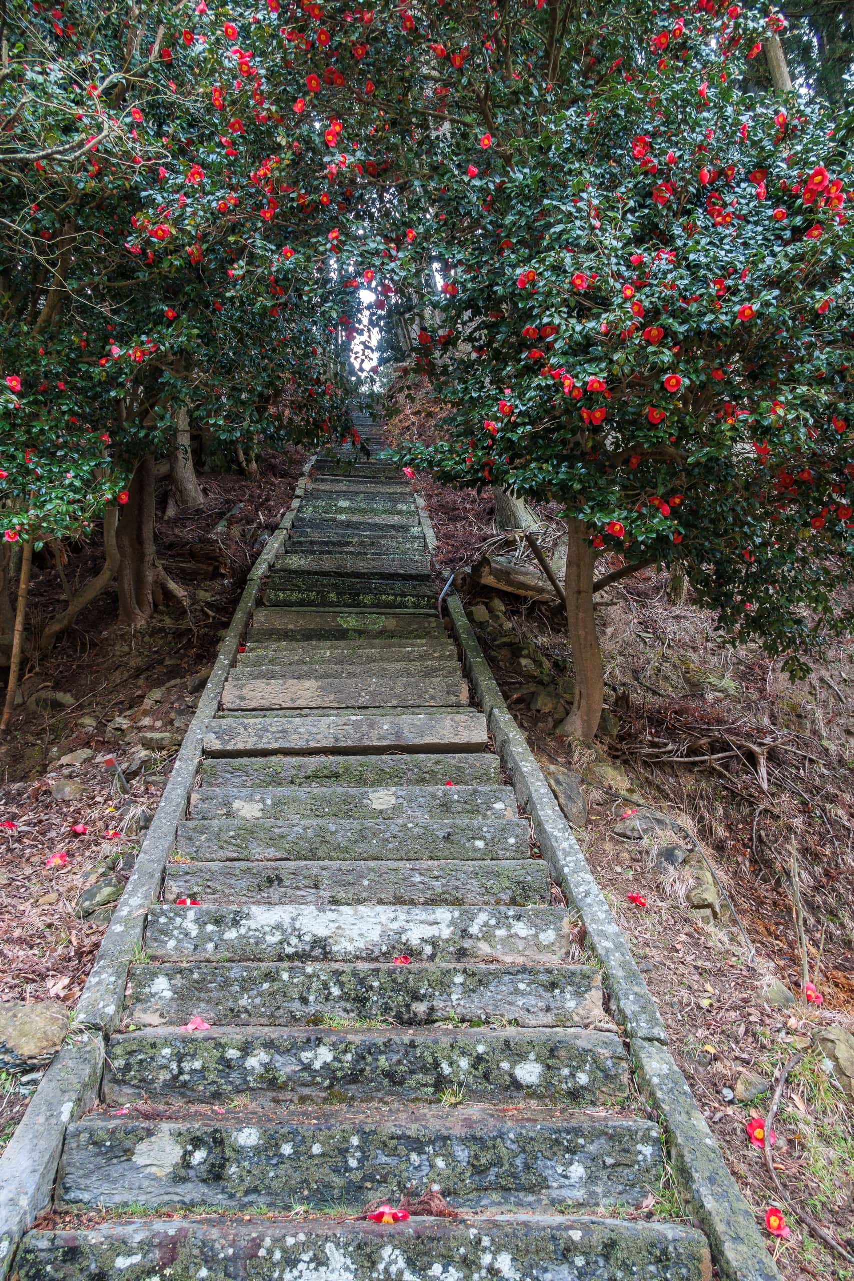
After an hour of refreshing forest walk, the trail flowed onto a paved forest road and rejoined R-2 near a long flight of old shrine steps rising almost vertically.
Then it was back to the rhythm of small fishing hamlets linked by R-2—again, little shoulder and too much litter. Surprisingly, my feet and back felt fine; the cool air and cool pavement helped keep our energy up.
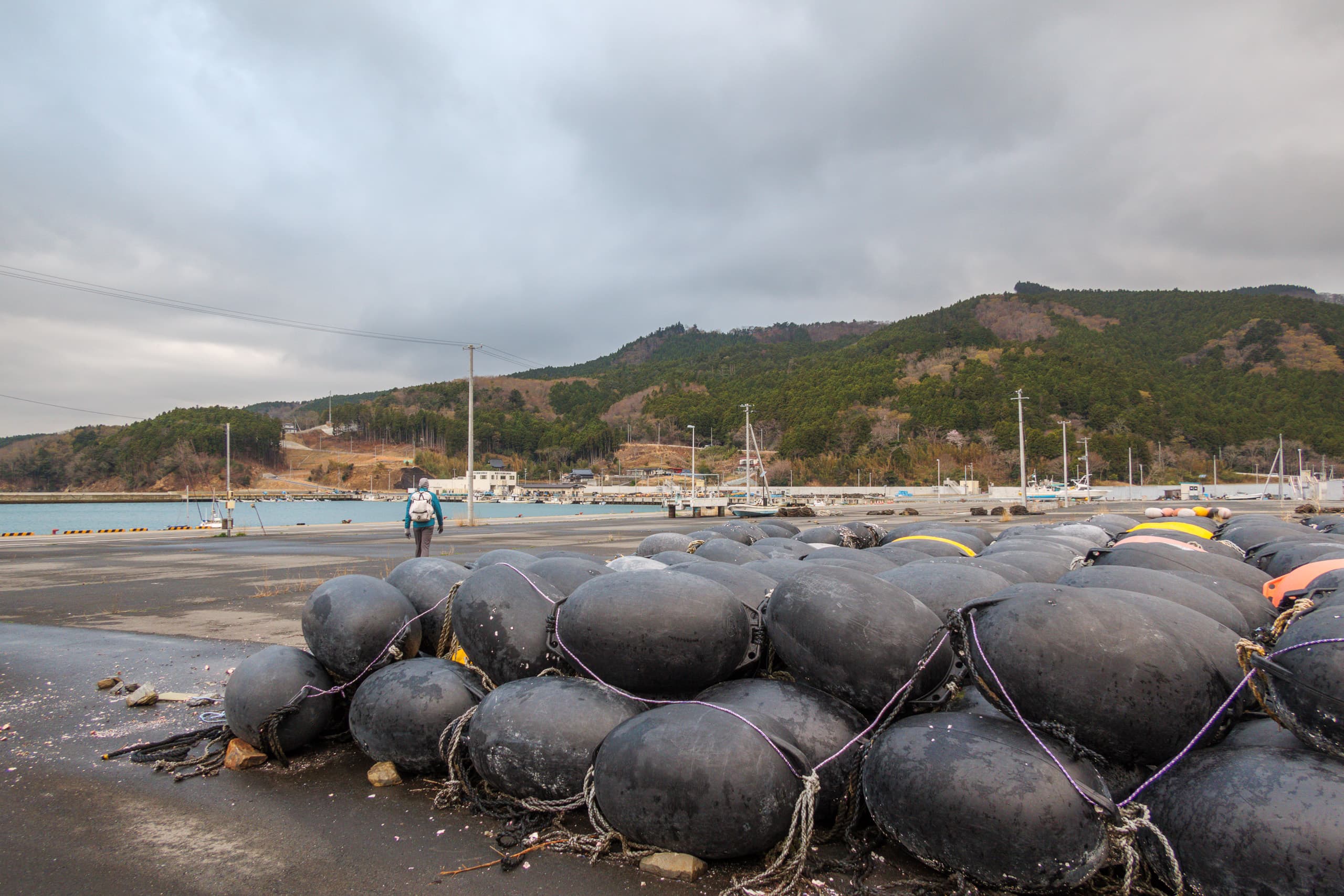
We passed one more bay with two small ports.
At the second, Ogihama 荻浜, we took a short break at what looked like a parking area with white-roofed restroom huts and a vending machine. A tiny roadside sign pointed toward the famous White Deer sculpture.
That six-meter-tall deer — white against blue sky and sea — appears in countless Tohoku brochures, and it had been on my “would like to see” list when we planned the MCT. But it was at least a ten-minute walk off R-2, and we still had a long way to tonight’s lodging, with one last mountain crossing ahead. We didn’t have the luxury of spending 20–30 minutes on a side trip — especially with no blue sky to set it off today.
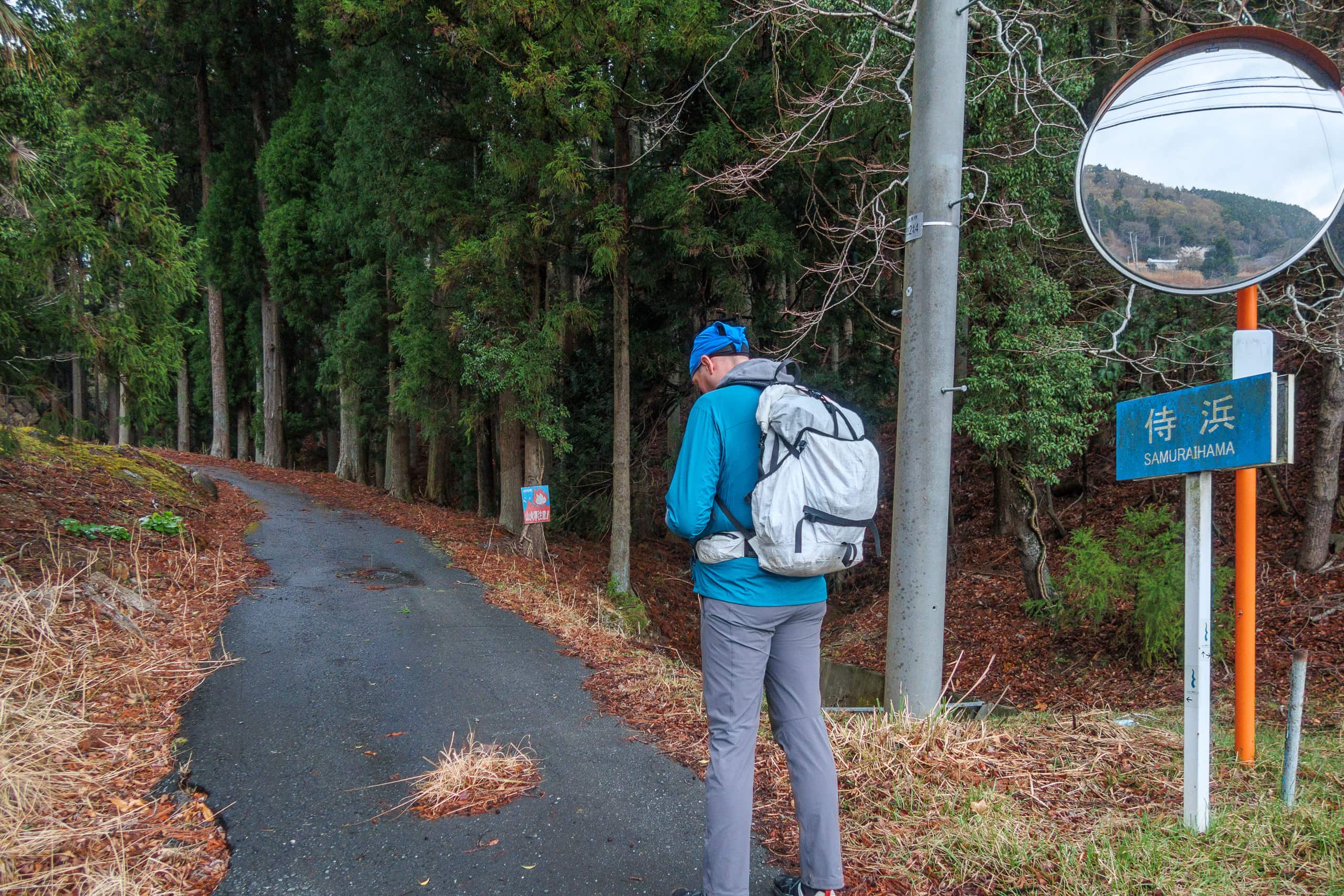
After another shoulder-less stretch of R-2 over a cape, we reached Samurai-hama 侍浜.
Before heading into the final natural trail, I phoned our inn to confirm where we were. When I booked, I’d warned them it might be a long day and we could arrive after 5 p.m., and that we would call if so.
I know all too well that the worst fear for small family-run inns is a no-show, especially when dinner is already prepared. So — not just today, but always — if we’re not going to make it within the next 30 minutes, I call by 4:30 p.m. to give our location and a new ETA. It’s a small courtesy that keeps everyone at ease.
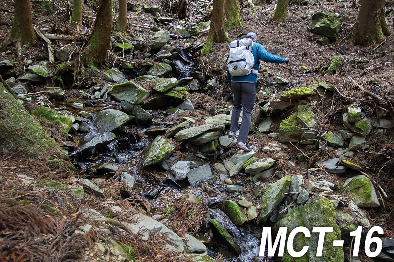
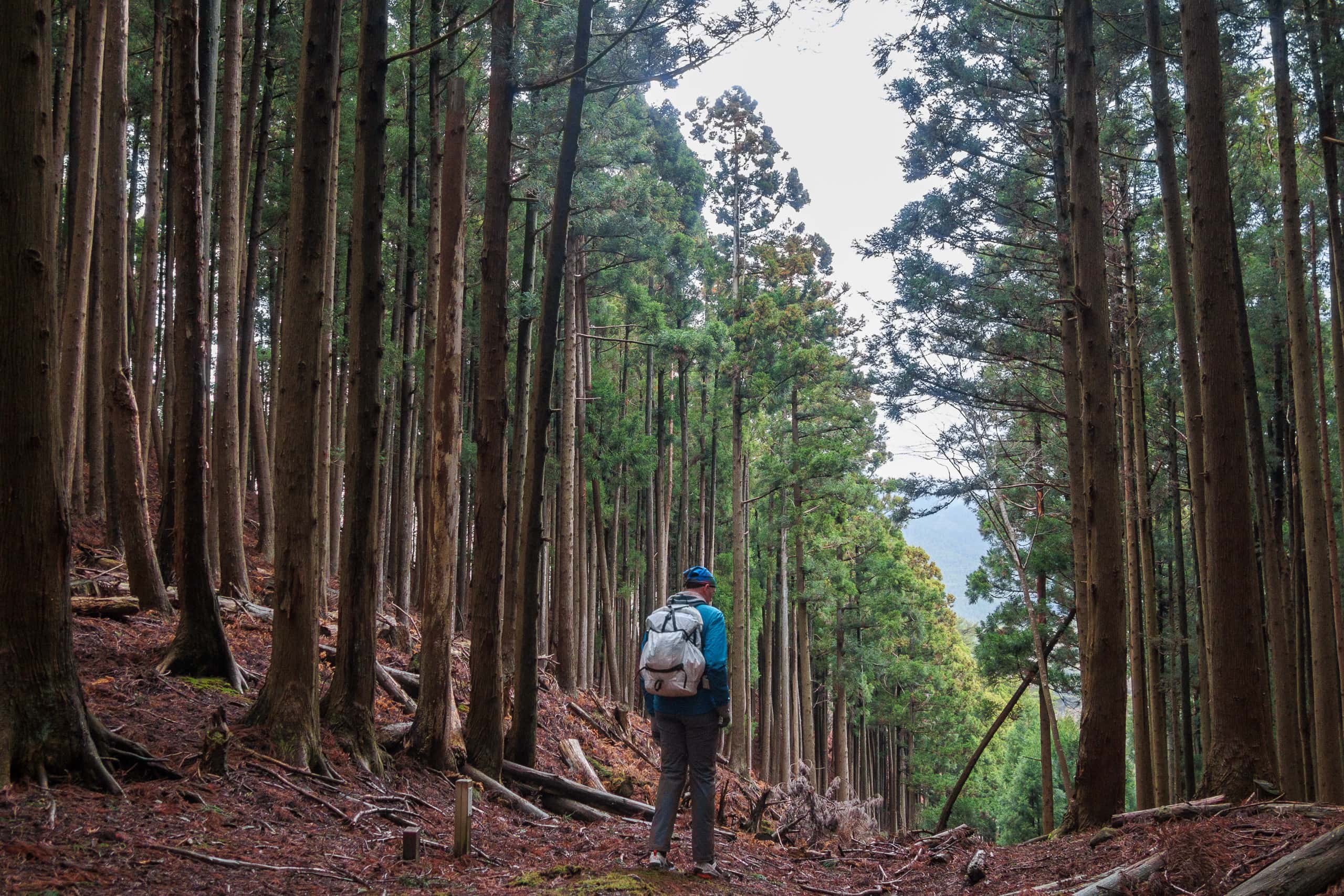
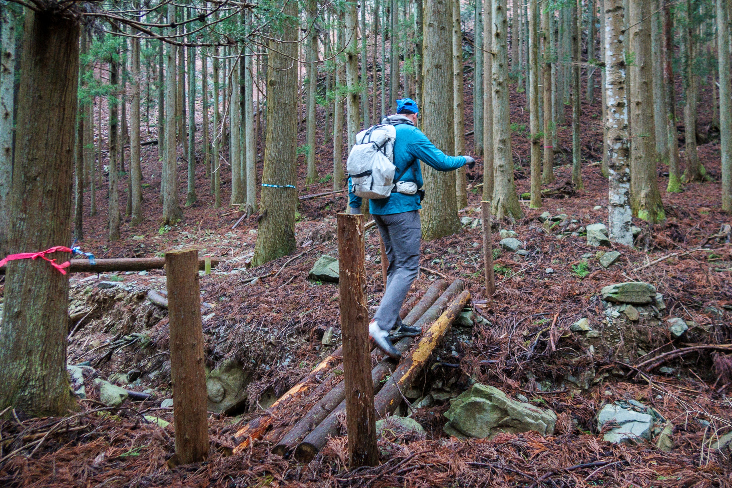
Okoshi-toge Pass
The final of today’s three natural trails was a short 1.7 km path through a cedar plantation.
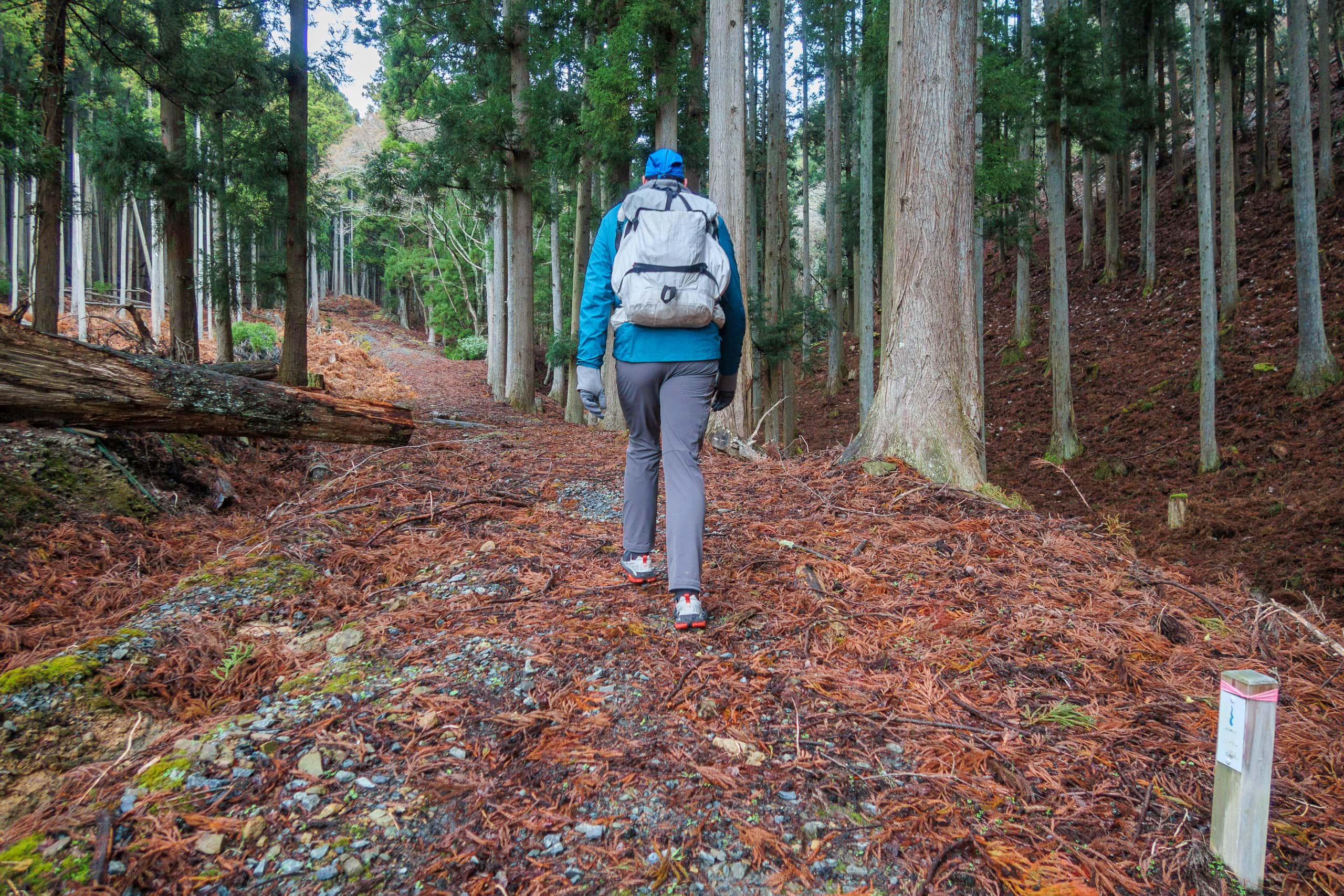
The first stretch climbed gently along a logging road before the MCT tapes and signs directed us onto a much steeper incline. We had to watch carefully for markers and trace a faint, almost invisible track through the trees. The markings were frequent and clear, but in darker hours they would be easy to miss.
The descent was steeper, and a few wet patches were slick. The route crossed a stream, then followed its narrow shoulder downhill.
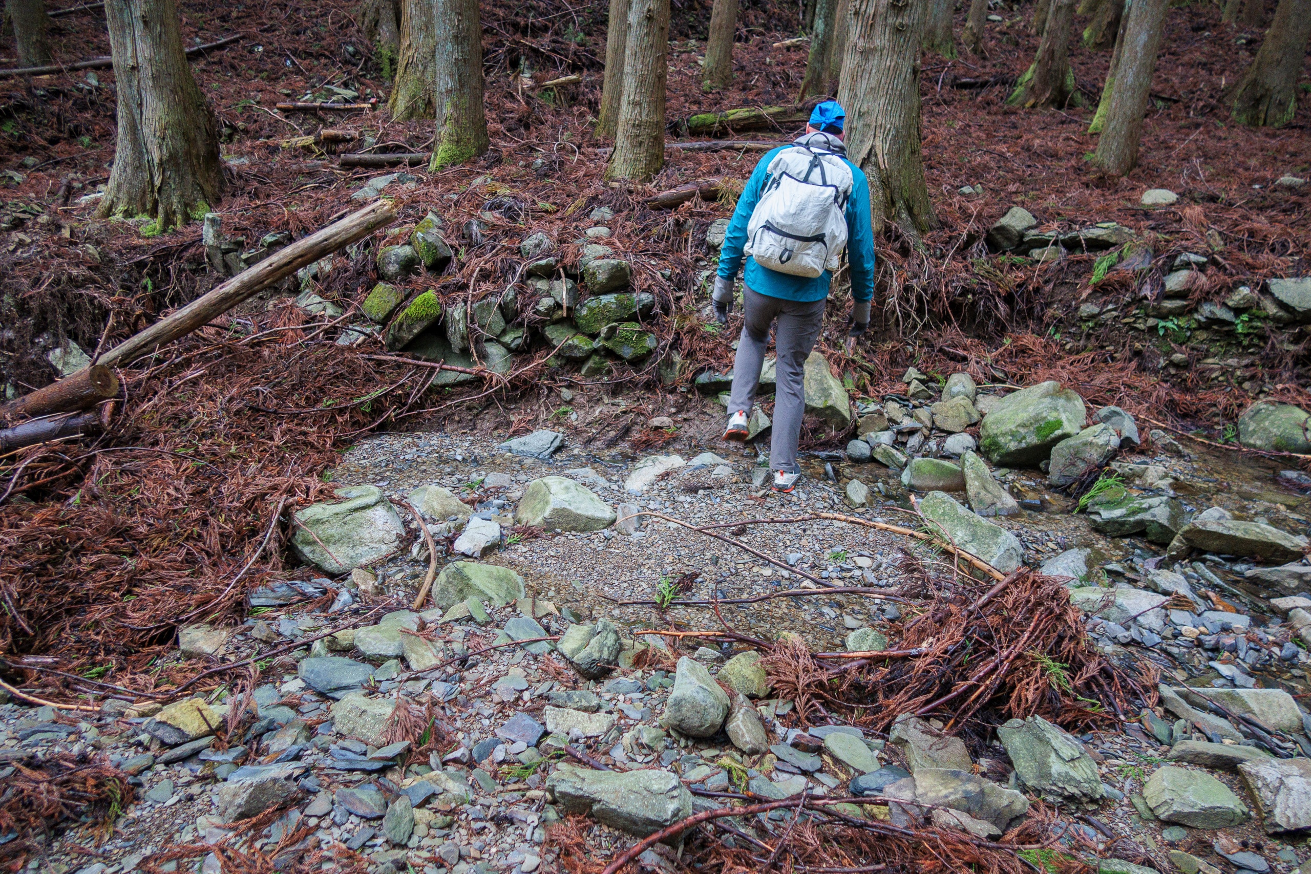
In the end, we made it out of the forest before dark — and without falling.
If anyone has to go through this last mountain crossing in the dark, taking R-2 is worth serious consideration, as both ways start from and end at the same points. Probably, the necessary time for either way should not be so different.

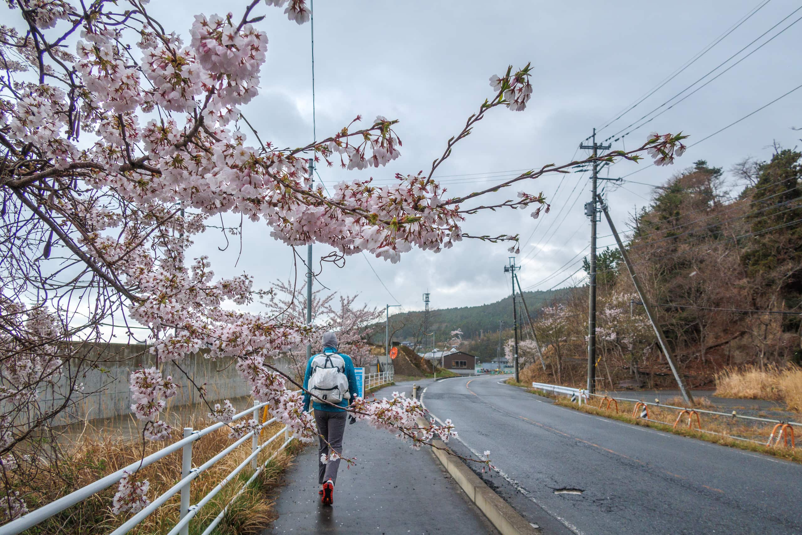
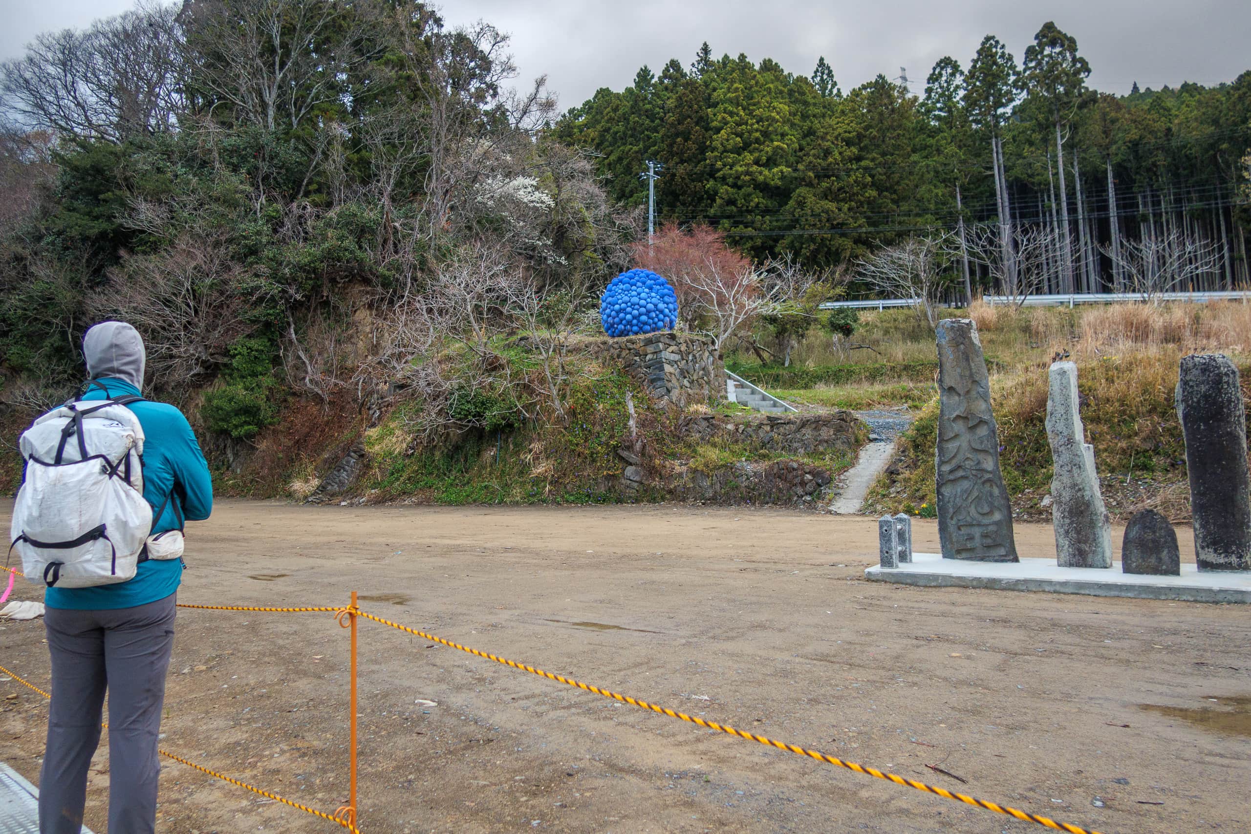
Only three kilometers remained between us and our destination — and its hot bath and dinner. We passed one last fishing port, Momonoura 桃浦. The port and its open flat surroundings were utterly silent. A pale sunset filtered weakly through the gray clouds as the light faded fast.
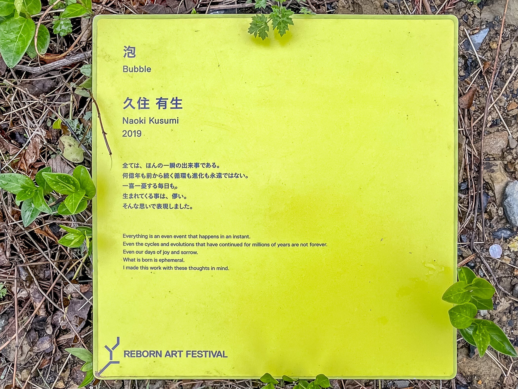
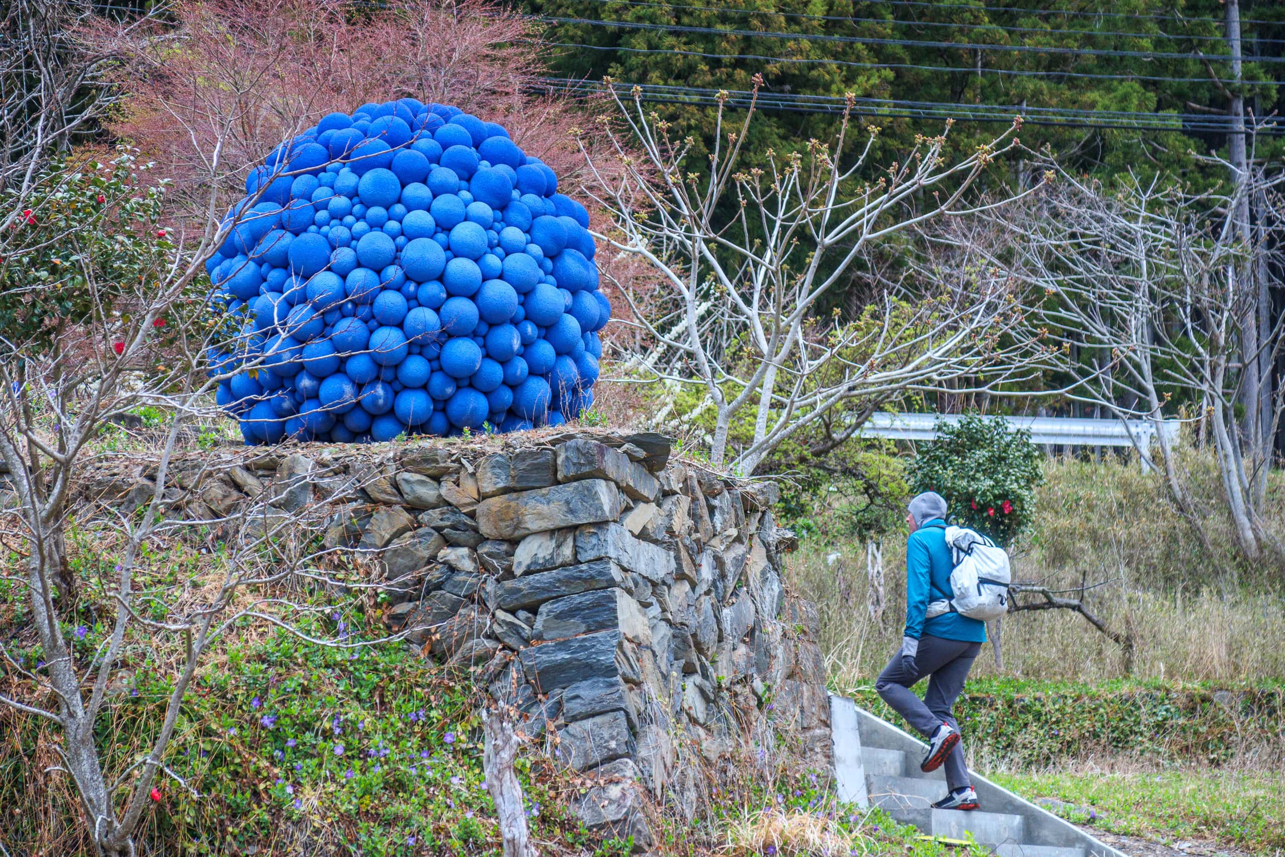
In an open lot, we spotted several stone pillars and a bright blue, spherical artwork perched on a rock wall behind them — likely another piece from the Reborn-Art Festival, held here every two years.
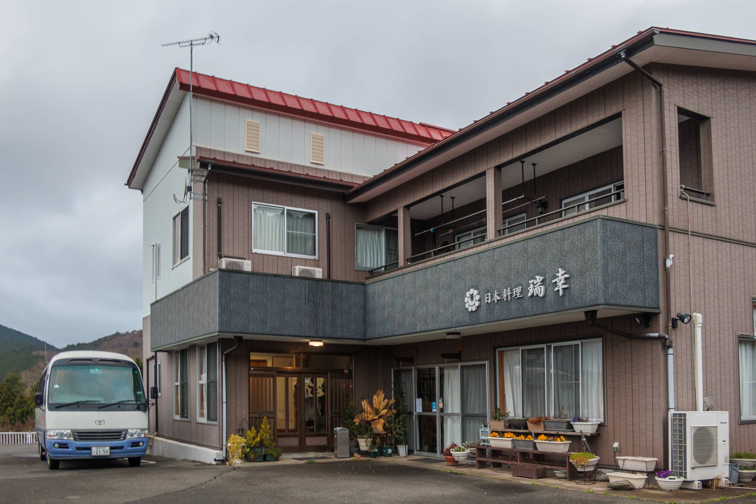
A few hundred meters before our accommodation, Zuiko 瑞幸, we passed the entrance to a short forest path. We planned to come back to this point tomorrow morning.
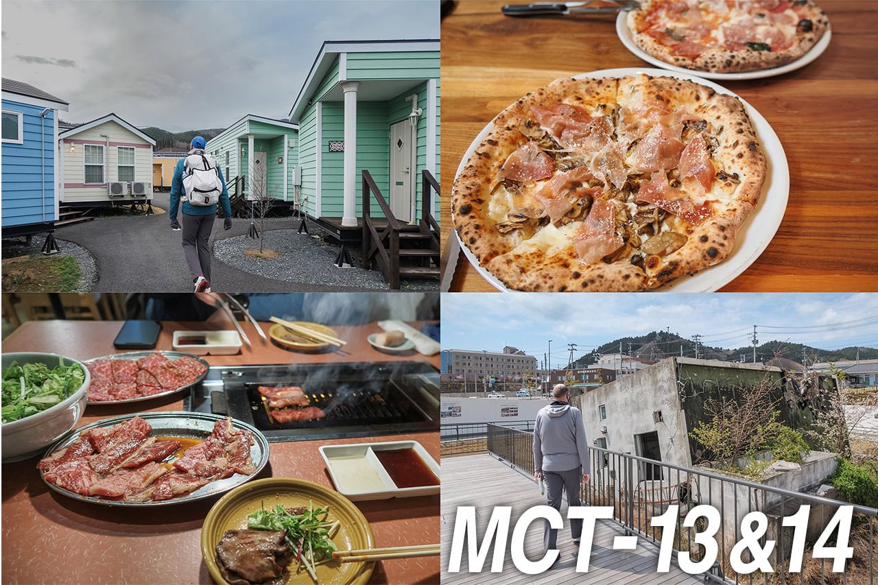
Zuiko — Our Best Stay on the MCT
To say the least, Zuiko was one of the best accommodations we experienced during our 50 days on the MCT.
On Google Maps, Zuiko appeared primarily as a restaurant, but when I checked their website, I discovered they also offered lodging. The photos of the rooms looked clean and new.
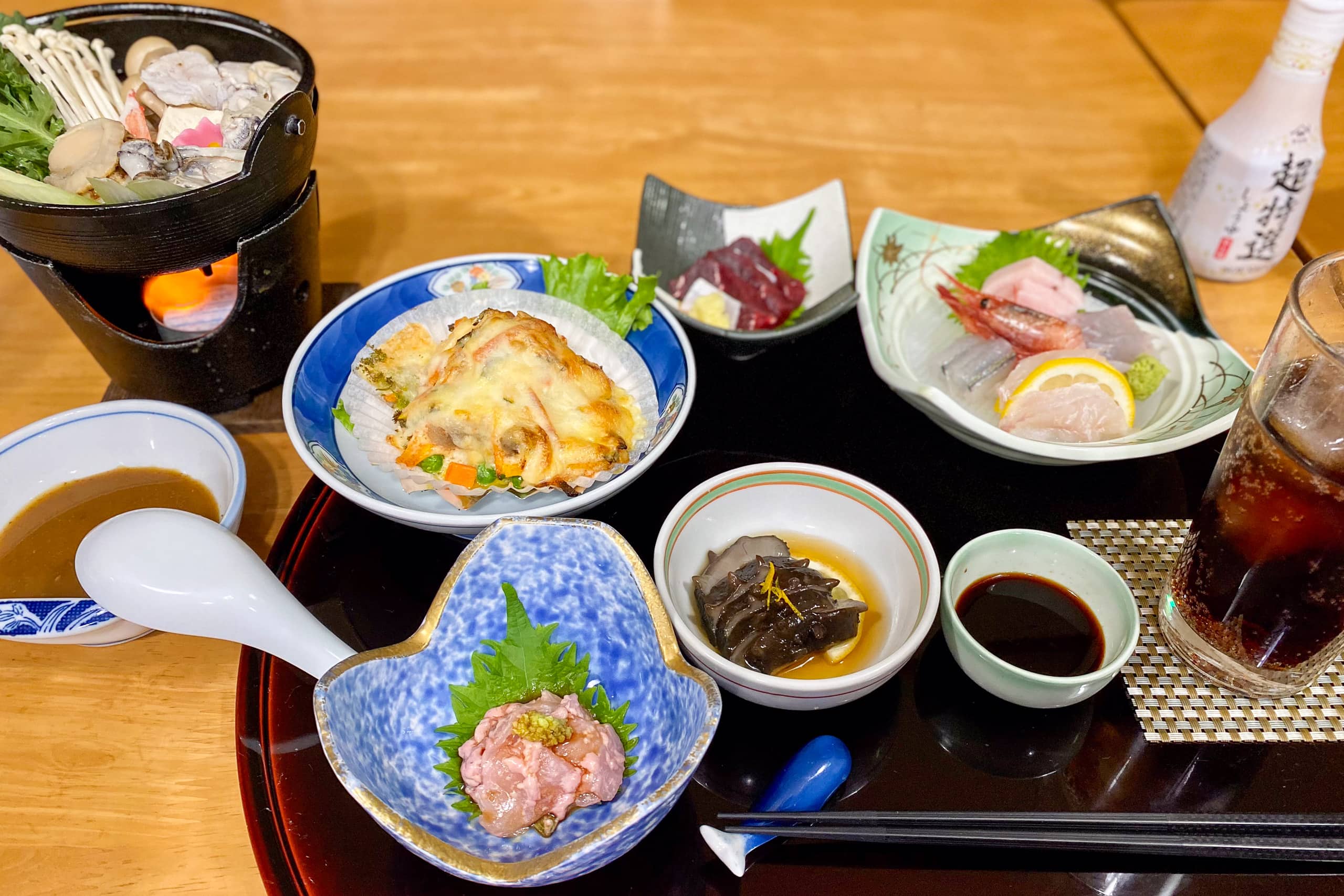
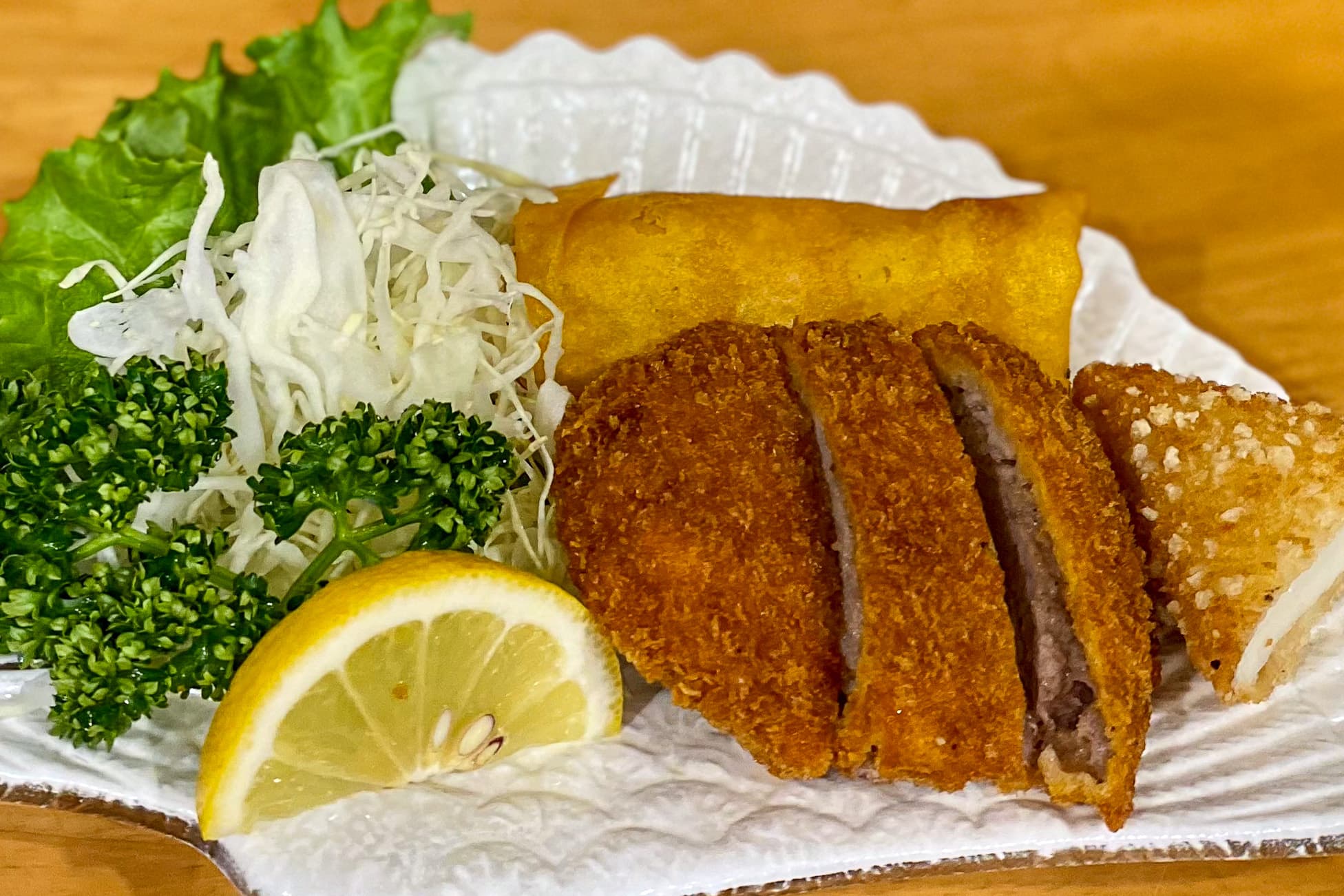
With no shops nearby, we booked a room with meals included. Like many family-run homestay-style inns along the MCT, Zuiko’s website featured beautiful photos of seafood specialties — all made with fresh local catch, plus my childhood favorite, whale meat.
As much as I was looking forward to the seafood feast, I also had to ask something I dreaded saying in a fishermen’s village. Over the phone, I explained that my husband didn’t eat seafood.
“That’s OK, no problem! I’ll cook meat dishes for him,” the owner replied instantly.
When we arrived, the owner couple greeted us with big smiles — warm and welcoming from the start.
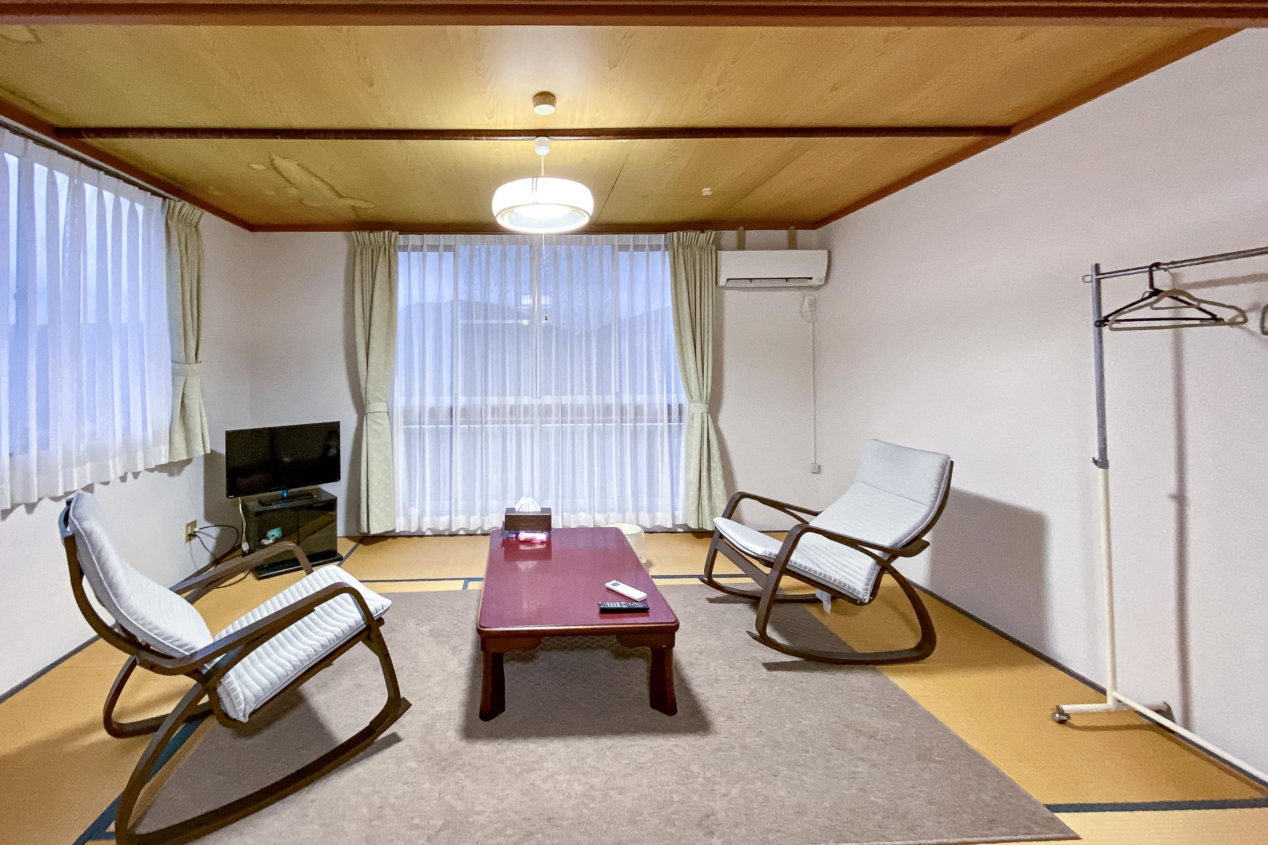
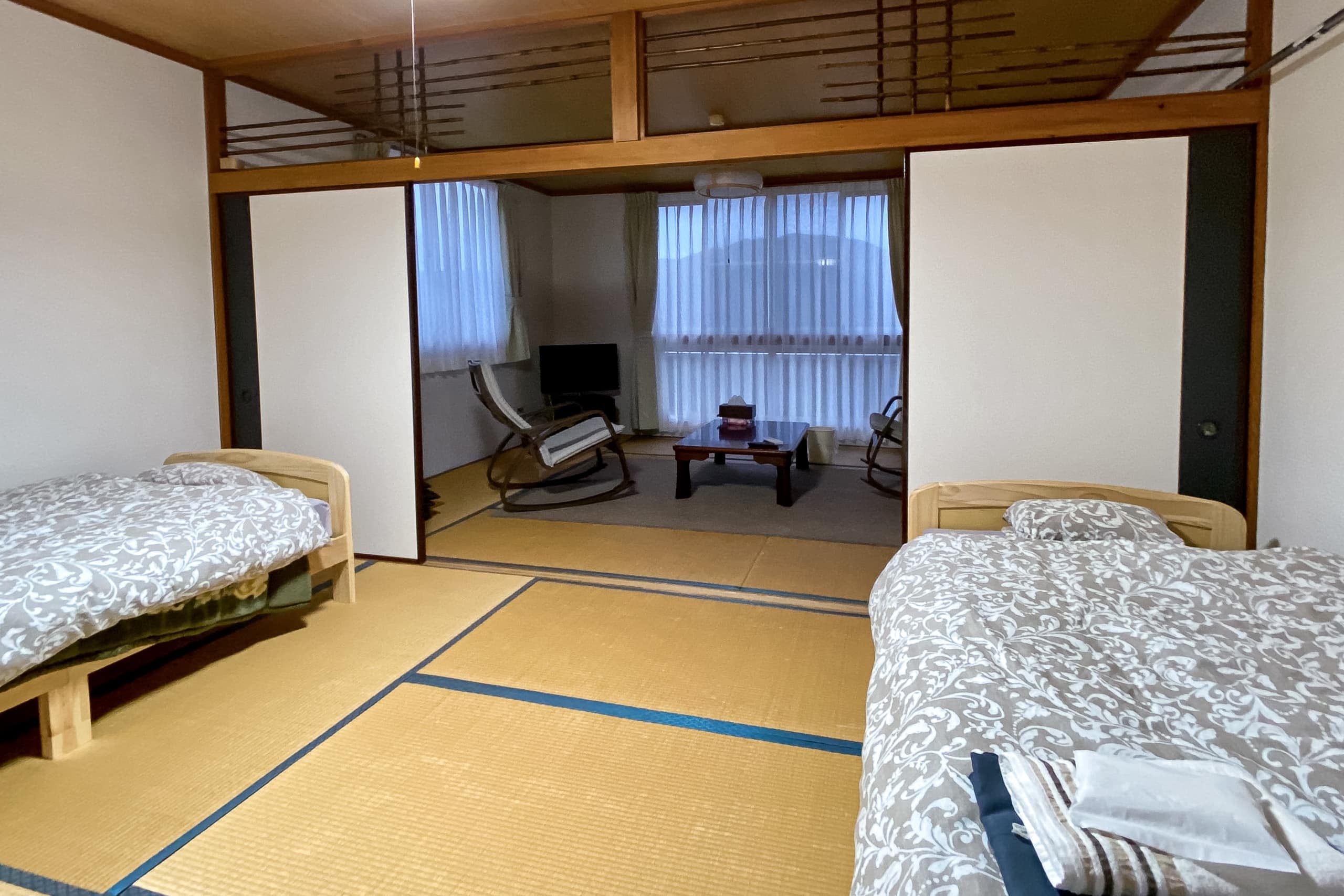
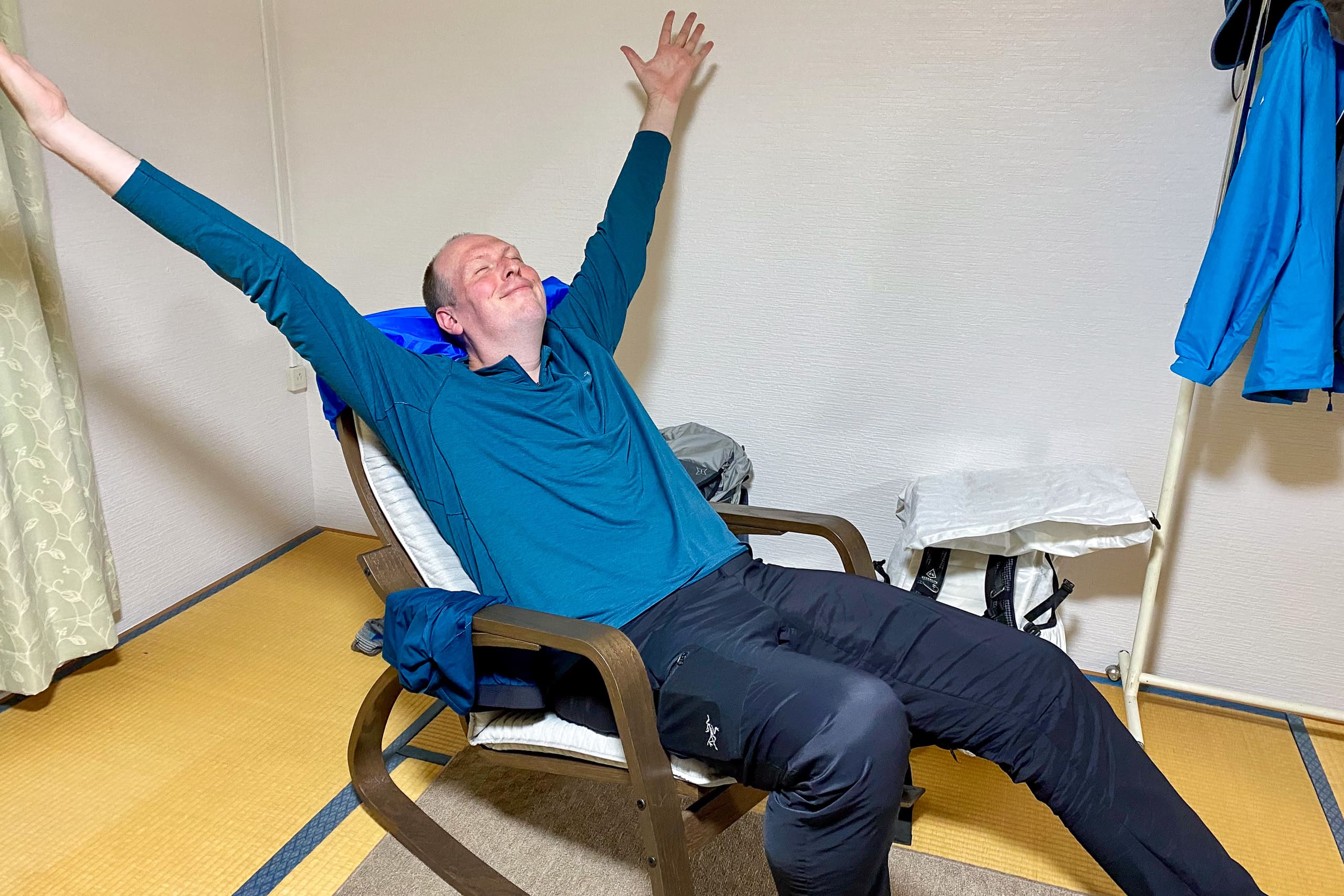
Our room was spacious, with separate living and sleeping areas. Though the sleeping room had a traditional tatami floor, it also featured two comfortable beds, to Erik’s great delight. Two sides of the living room were lined with large windows overlooking the sea, and as a bonus, the Wi-Fi was fast and stable.
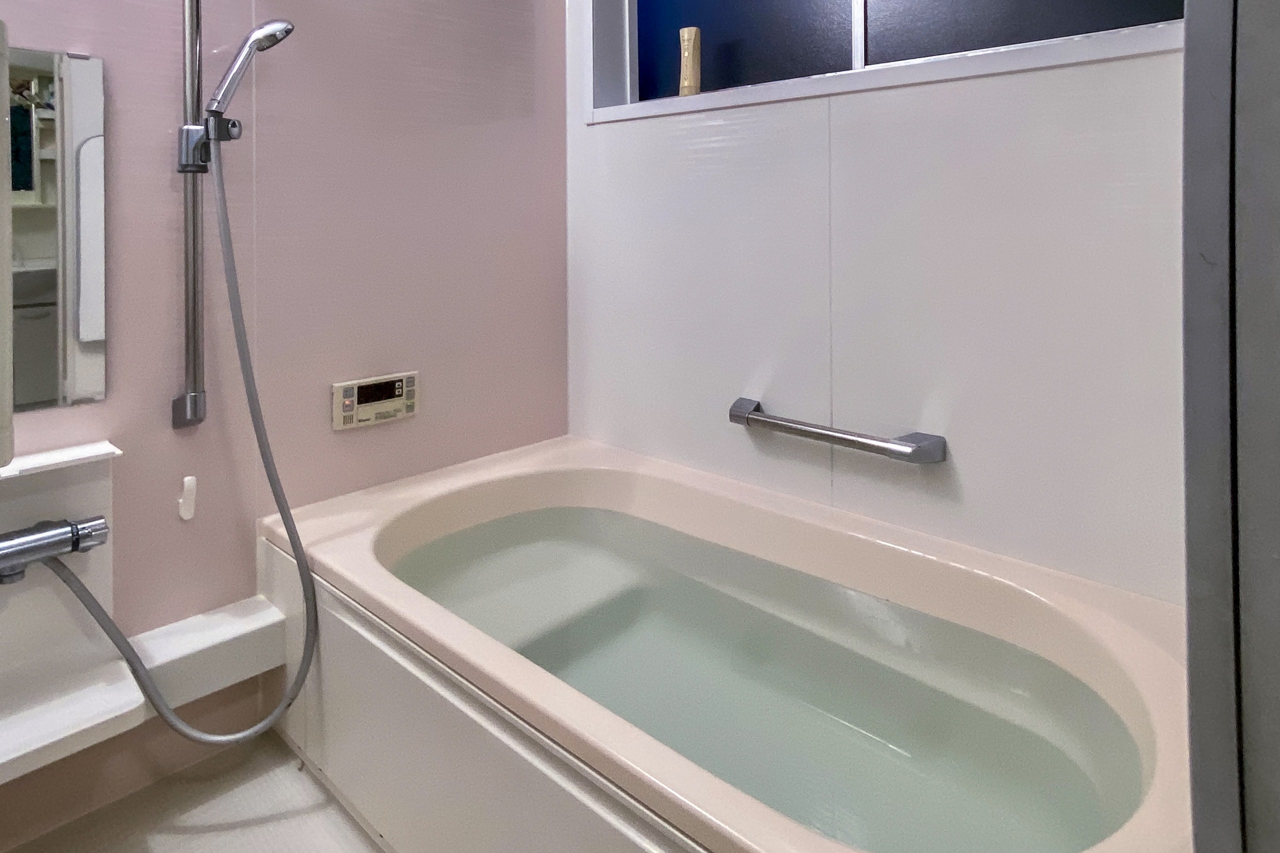
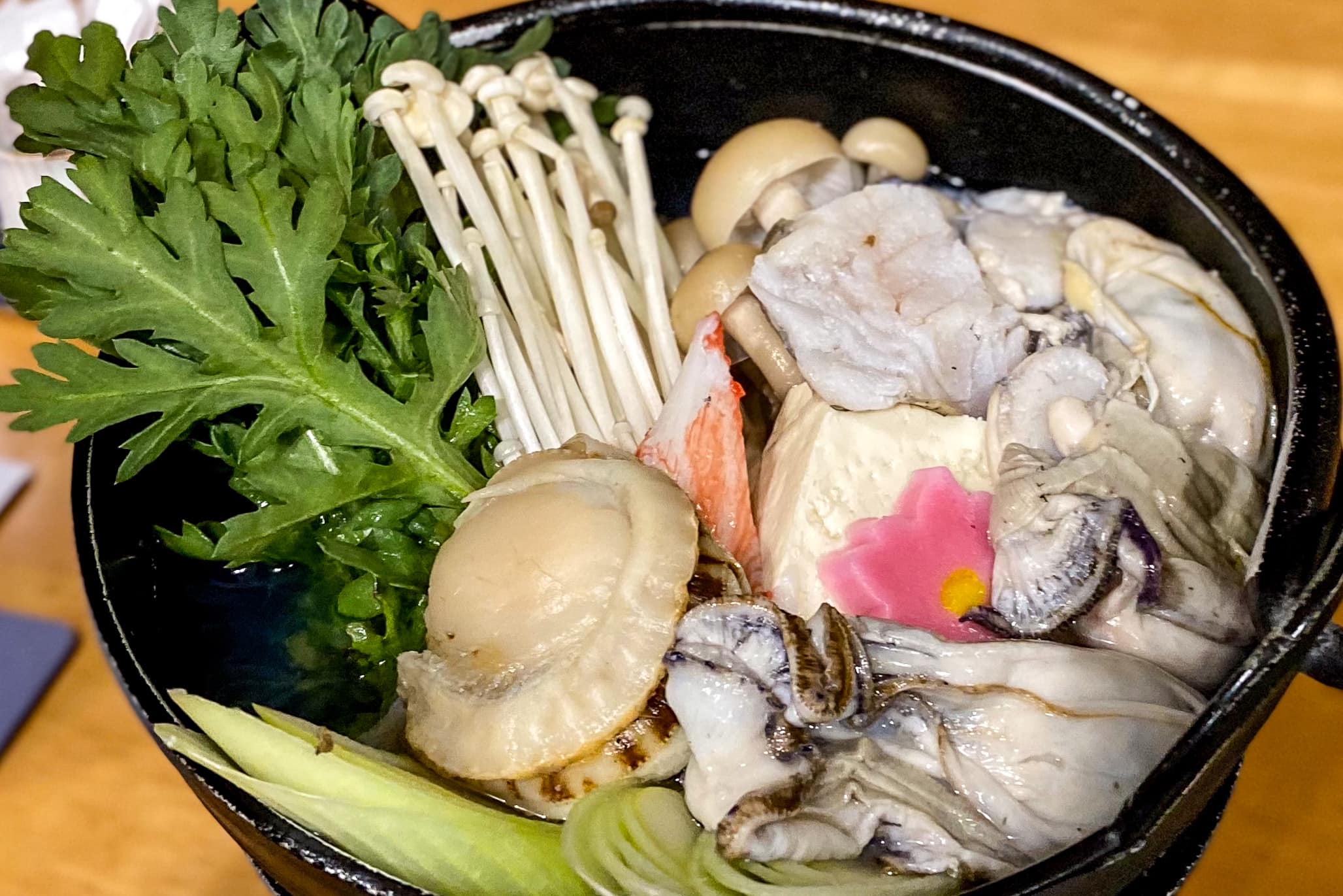
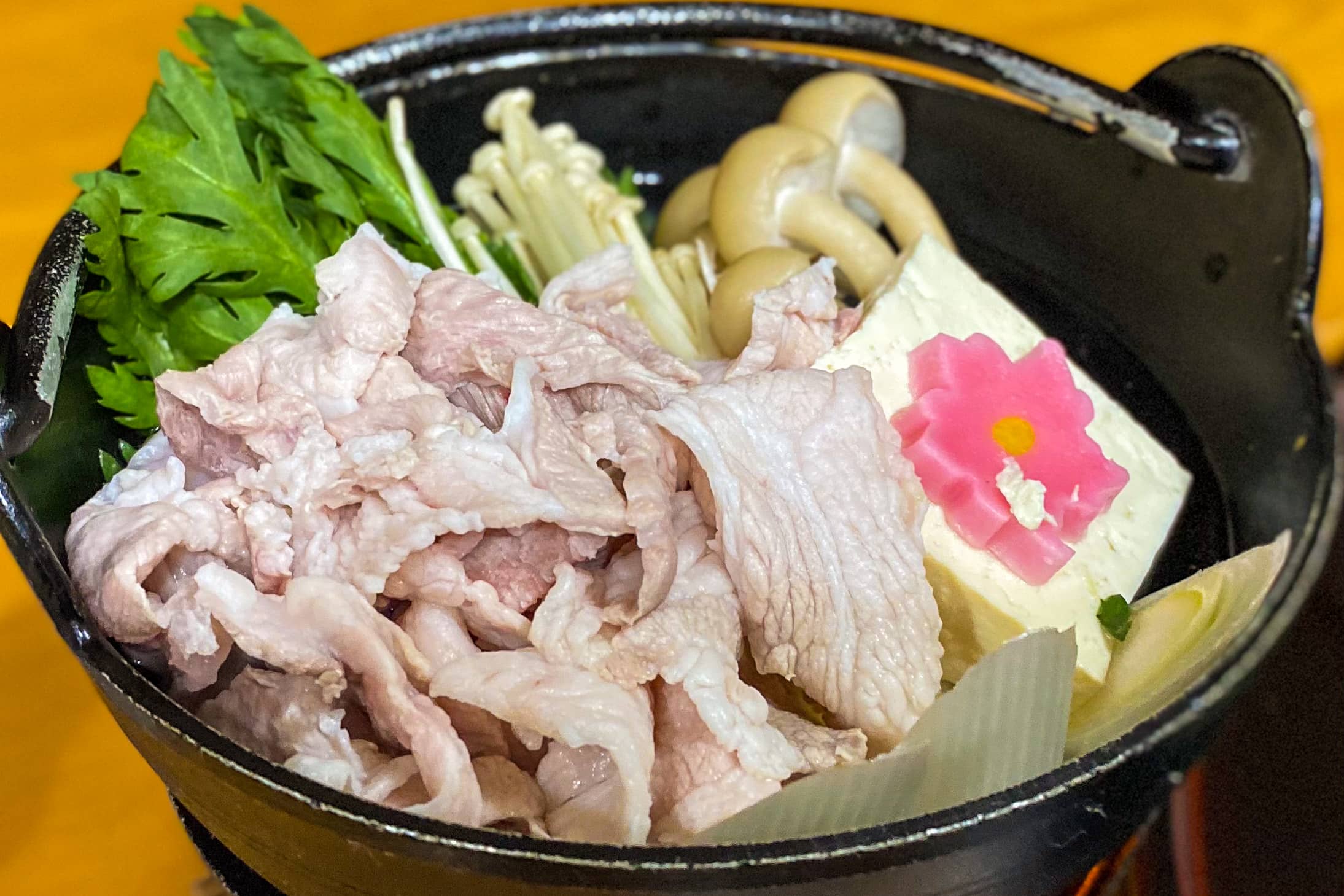
After a long soak in the modern bath and a quick load of laundry, it was time for dinner.
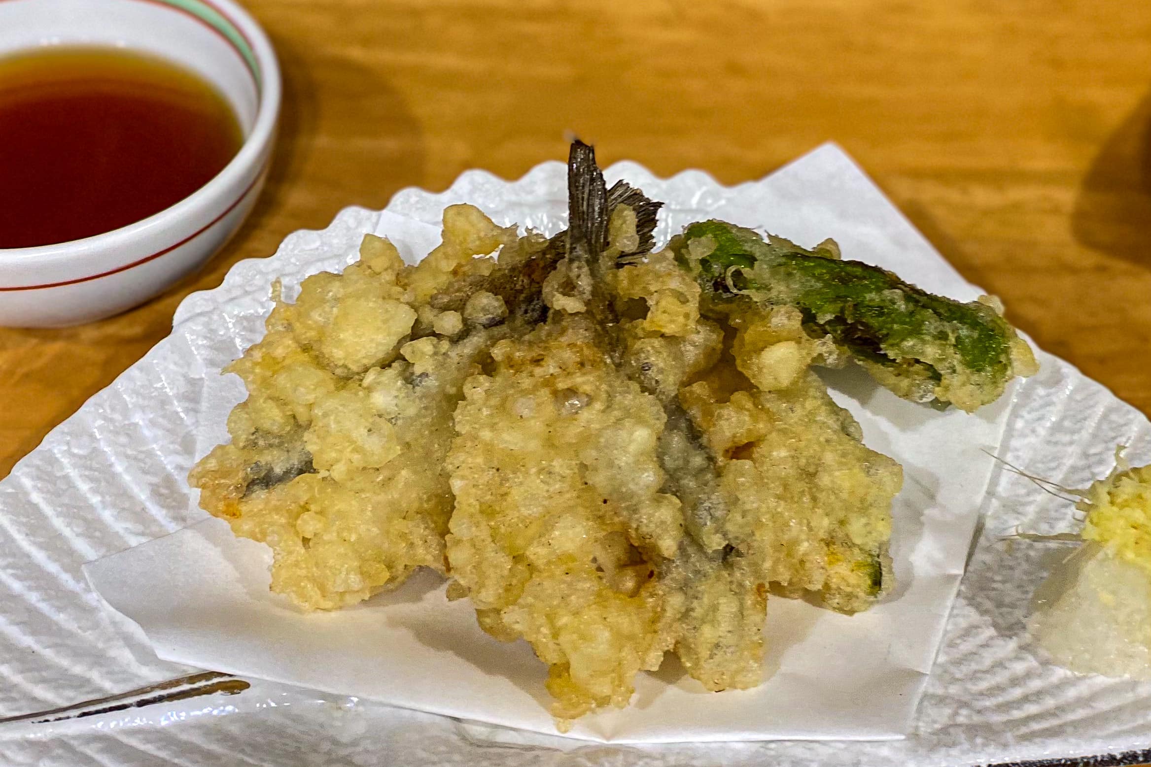
Erik looked like he could start dancing at the table — his eyes lit up at the sight of all the homemade meat dishes. My dinner was a full seafood party, exactly what I’d hoped for.
The owner, a professional chef, had prepared two completely different menus for us, using several types of meat for Erik’s dishes. Everything tasted wonderful, and we enjoyed chatting with the friendly couple throughout the meal.
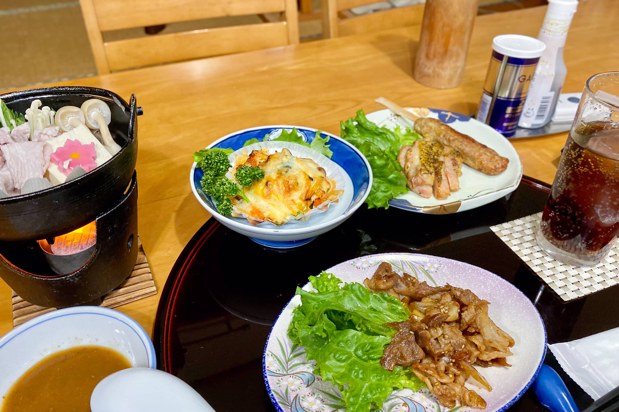
The next morning, Erik’s breakfast was Western-style, complete with meats and — to his surprise — a small pizza. He was perfectly happy from start to finish.
Zuiko exceeded every expectation for a small, remote homestay-style inn. The rate — ¥8,800 per person including two meals and tax — was an incredible bargain. Truly one of the most recommended stays along the trail.
No matter how many years pass since our MCT thru-hike in spring 2021, Zuiko remains the first place that comes to mind when we recall the most memorable stays of the journey.
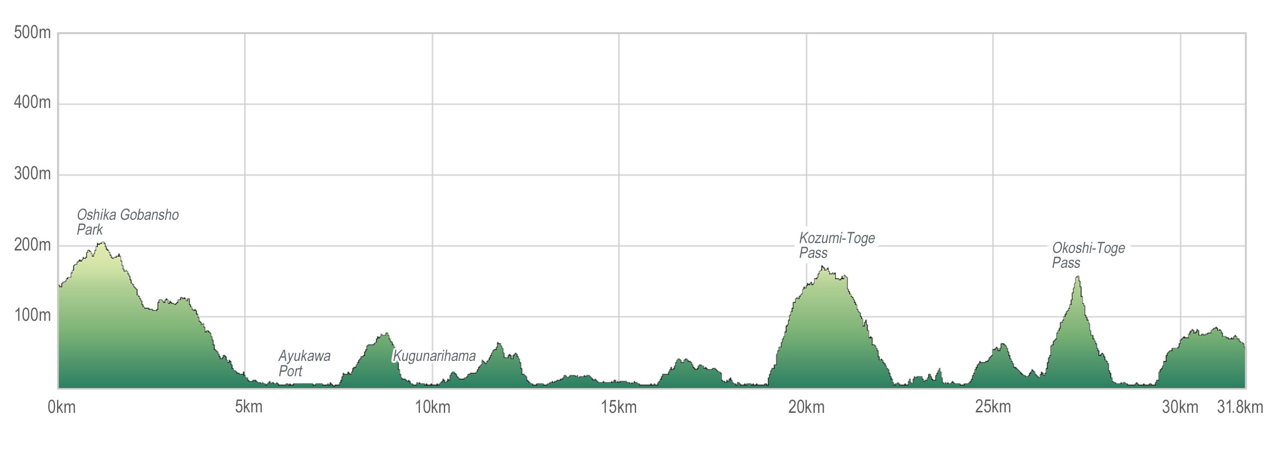
Day 11 – MCT
| Start | Gobansho Park |
| Distance | 31.7 km |
| Elevation Gain/Loss | 695 m / 780 m |
| Finish | ZUIKO |
| Time | 9 h 28 m |
| Highest/Lowest Altitude | 549 m / 25 m |
The Michinoku Coastal Trail Thru-hike: Late March – Mid-May 2021
- The first and most reliable information source about MCT is the official website
- For updates on detours, route changes, and trail closures on the MCT route
- Get the MCT Official Hiking Map Books
- Download the route GPS data provided by MCT Trail Club
- MCT hiking challengers/alumni registration