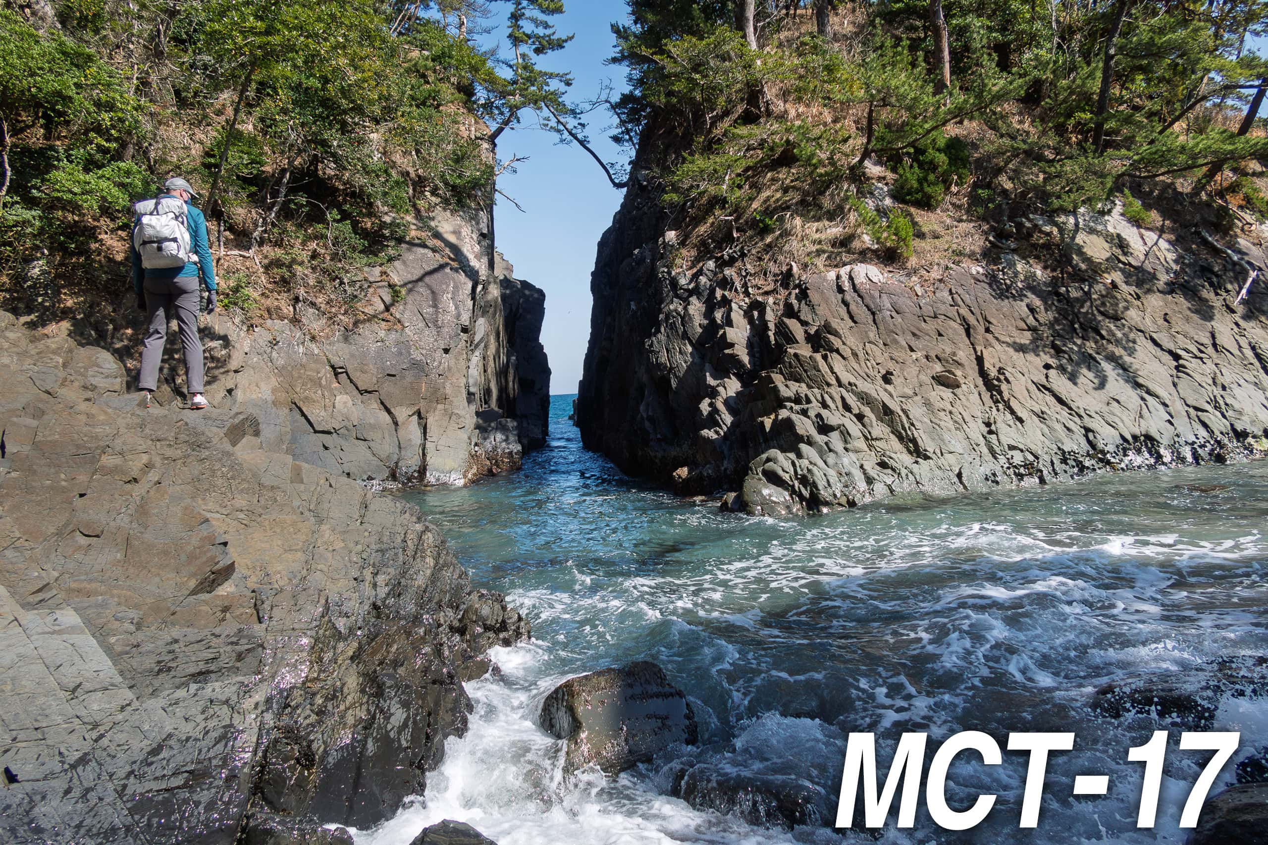
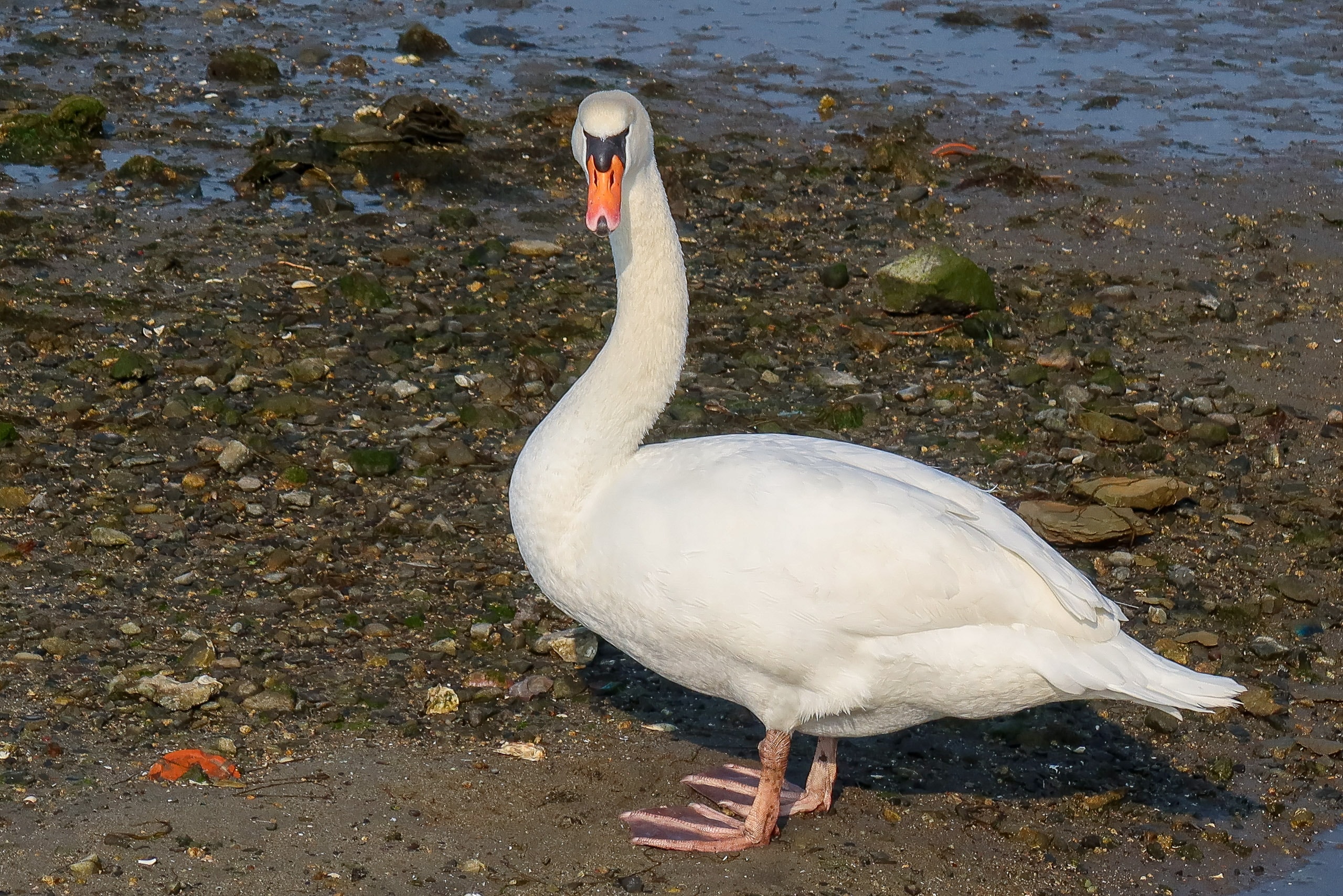
Arriving at the Tohoku Pacific Coast
The first morning of our MCT thru-hike greeted us with perfect weather.
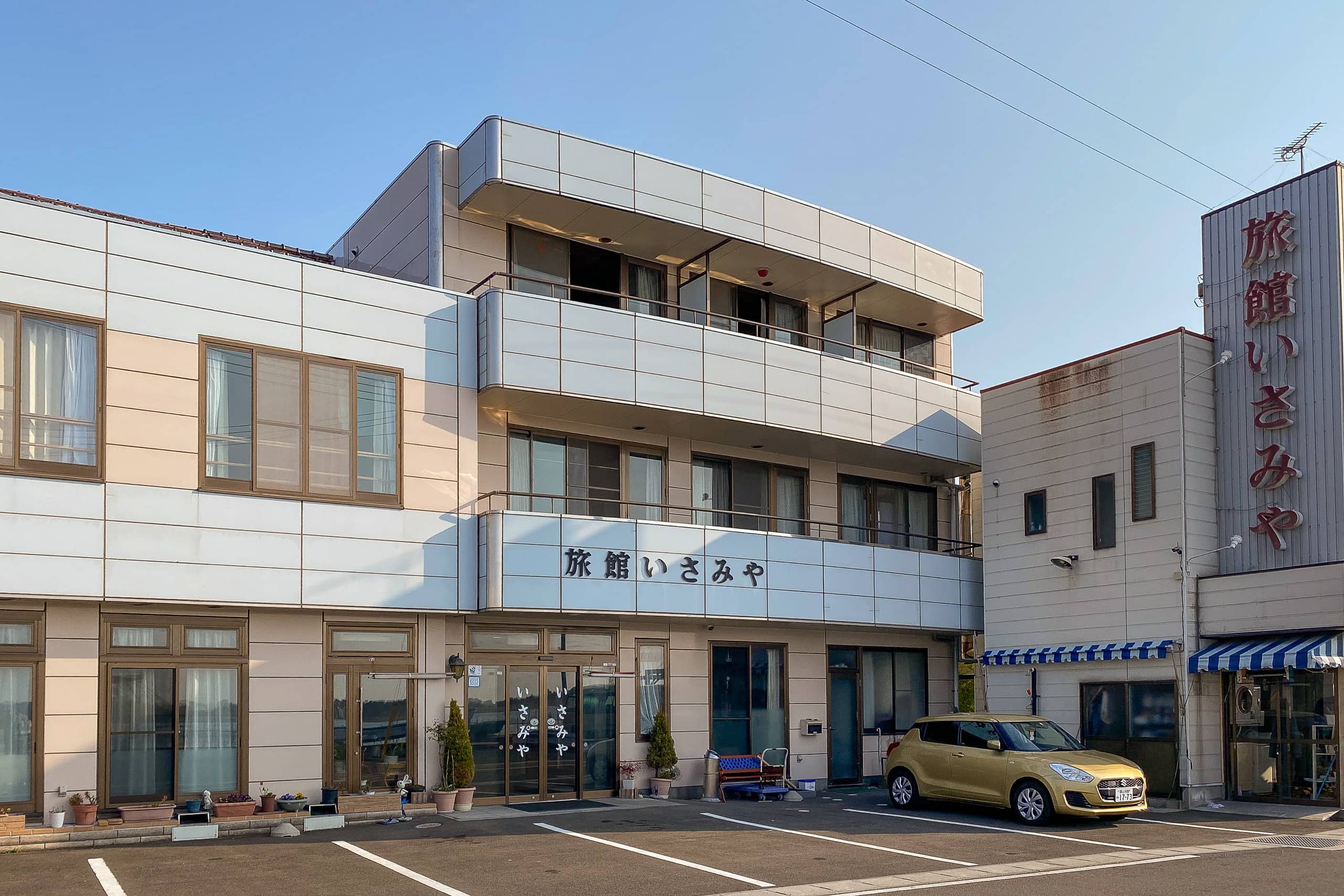
Through the window of our room at Ryokan Isamiya 旅館いさみや, the deep blue, cloudless sky and the calm, almost sleepy sea convinced me that we would have a smooth start to our 1,000-kilometer, month-and-a-half-long journey.
The evening before, we had arrived at Soma Station 相馬駅. Soma, in Fukushima Prefecture, is the southernmost of the 29 municipalities across four prefectures on the Pacific coast of the Tohoku region through which the Michinoku Coastal Trail runs.
Among MCT hikers, going southbound is undoubtedly the most popular choice. All the official organizations that promote the trail also seem to encourage this direction. The official 10-volume map book begins with the northern terminus in Hachinohe, Aomori, and volume 1 opens from there. However, the distance markers in the maps are written from both SOBO and NOBO perspectives.
We, however, decided to go against the norm: northbound.
The idea of NOBO came to us naturally from the moment we first talked about the MCT as our next long-distance hike, and even after weighing all the options, it still seemed the most rational choice.
One major reason was our complete unfamiliarity with Tohoku’s weather in early spring. Living in Shikoku, one of Japan’s warmer regions, we had no sense of how cold late March in Tohoku would be. Even with our limited knowledge, we knew that Aomori Prefecture, where the northern terminus sits, is one of the snowiest places on earth.
(Random trivia: the top three cities in the world for annual snowfall are all in Japan.)
At least it seemed safe to assume that the southern parts of Tohoku would be milder than the north. We hoped that the spring weather would catch up with us as we walked northward.
Rather than staying overnight around Soma Station, we took a taxi to Isamiya.
Perched right by the sea, Isamiya seemed to cater mostly to saltwater fishing enthusiasts. But when we zoomed out on Google Maps, we saw that the MCT’s southern terminus was only 1.5 km away — a short 20-minute walk at most. Another larger hotel closer to the terminus had been temporarily closed due to COVID, so Isamiya became our choice.
In the end, our stay was comfortable and pleasant, and we were glad we had chosen it.
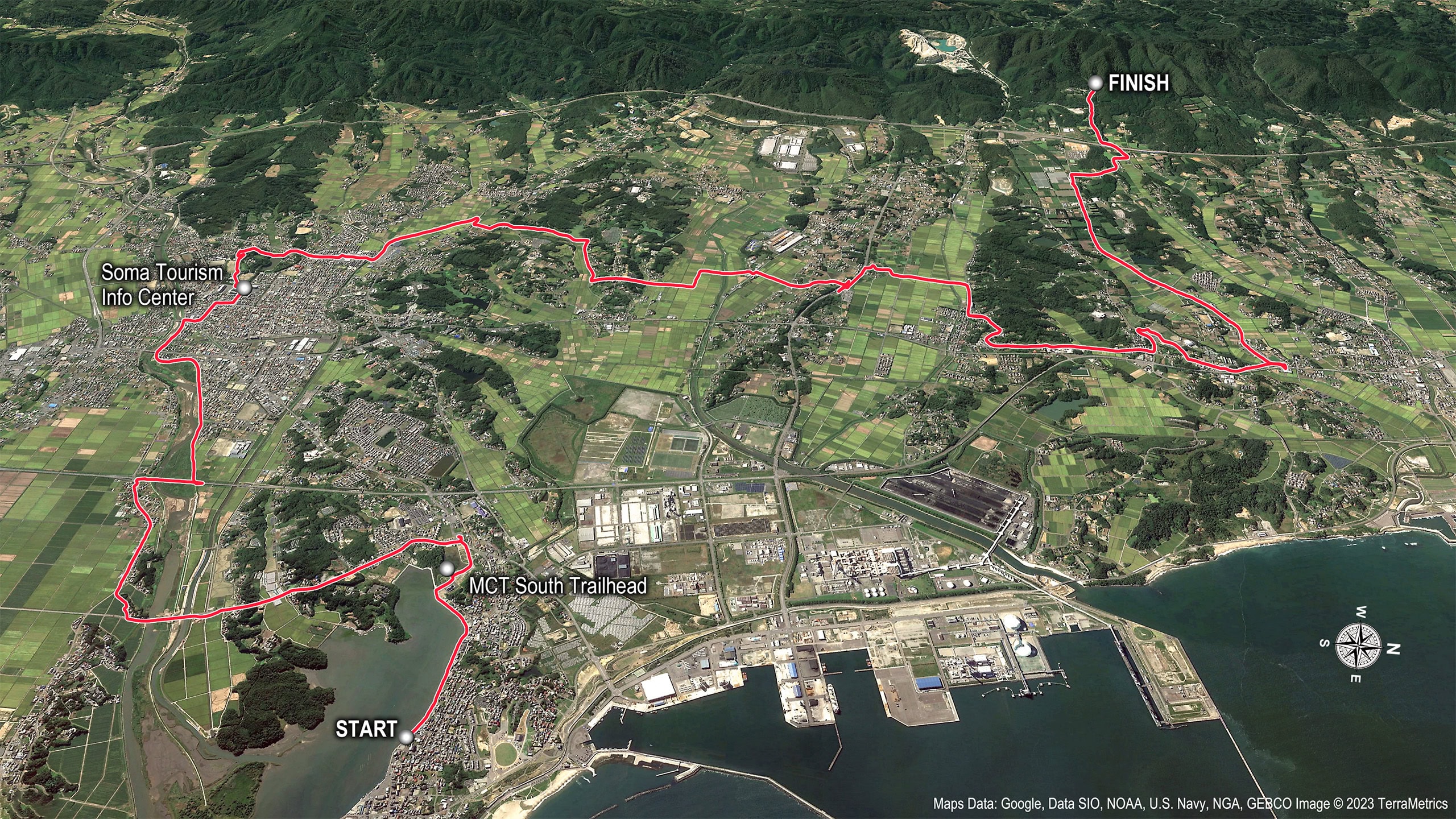
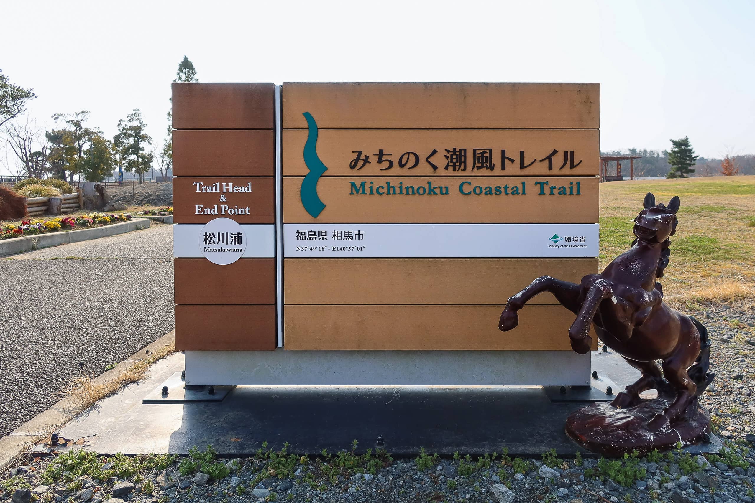
MCT Southern Terminus
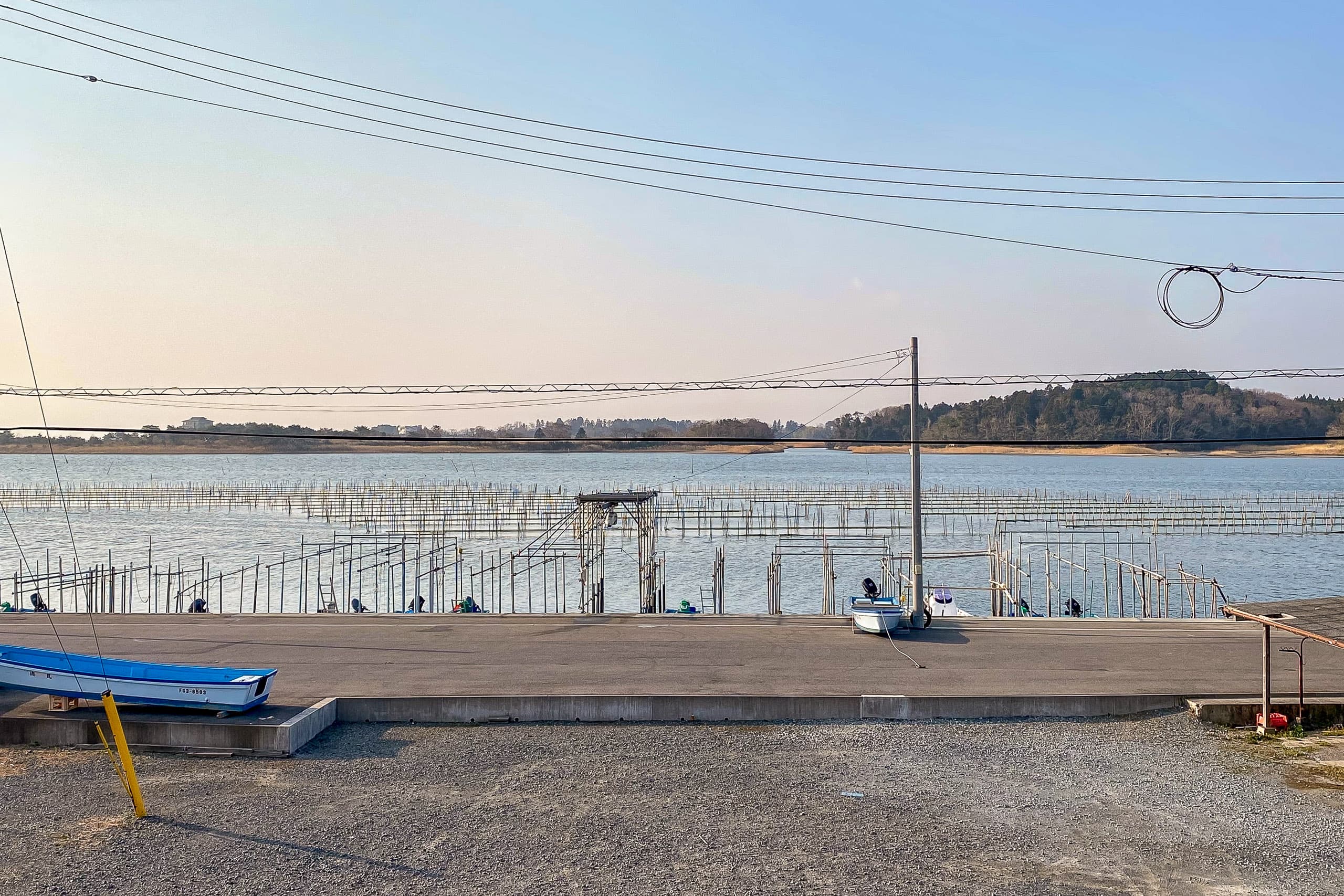
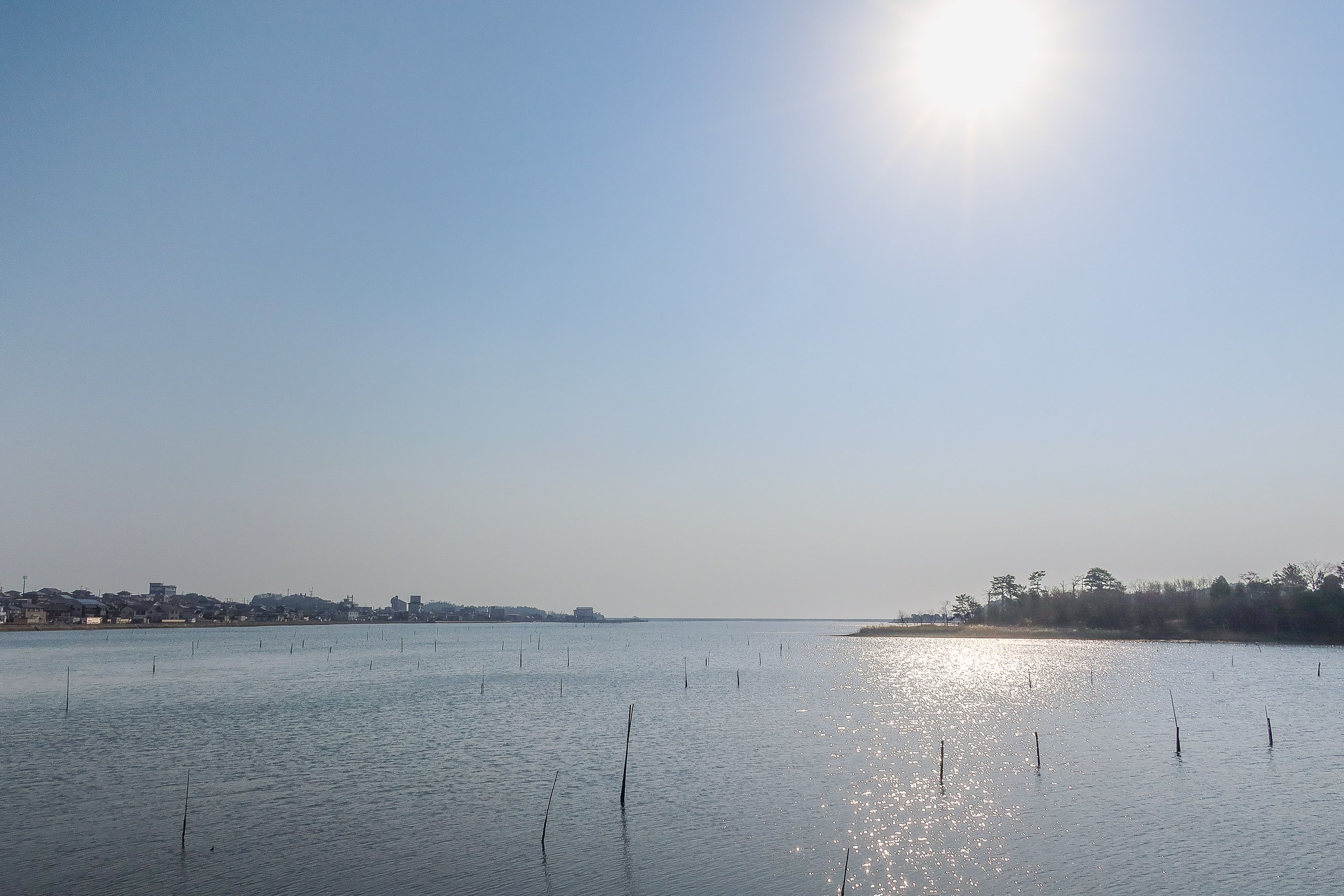
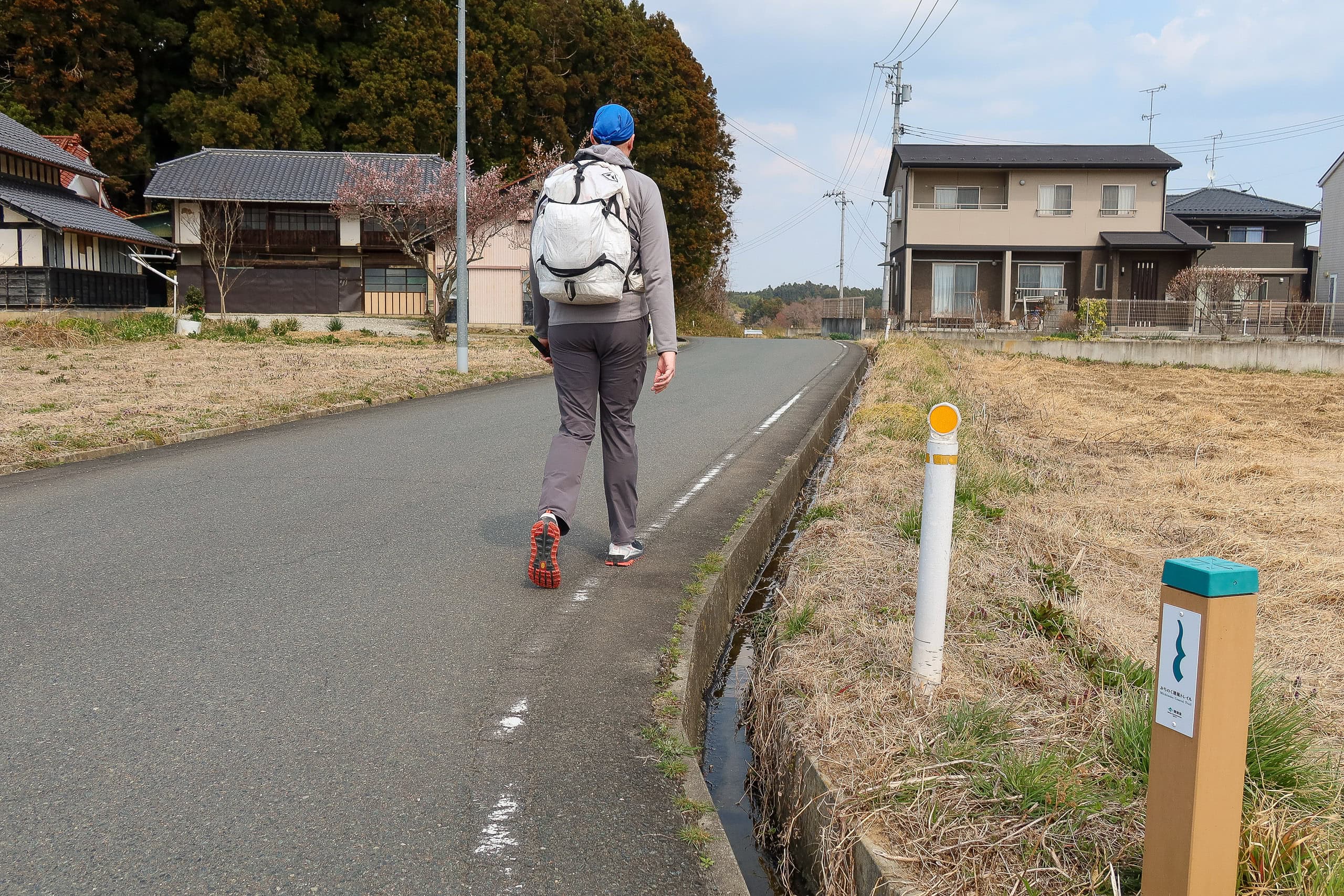
We checked out a little before 8 a.m. and started walking along Matsukawa-ura Bay on Route 38.
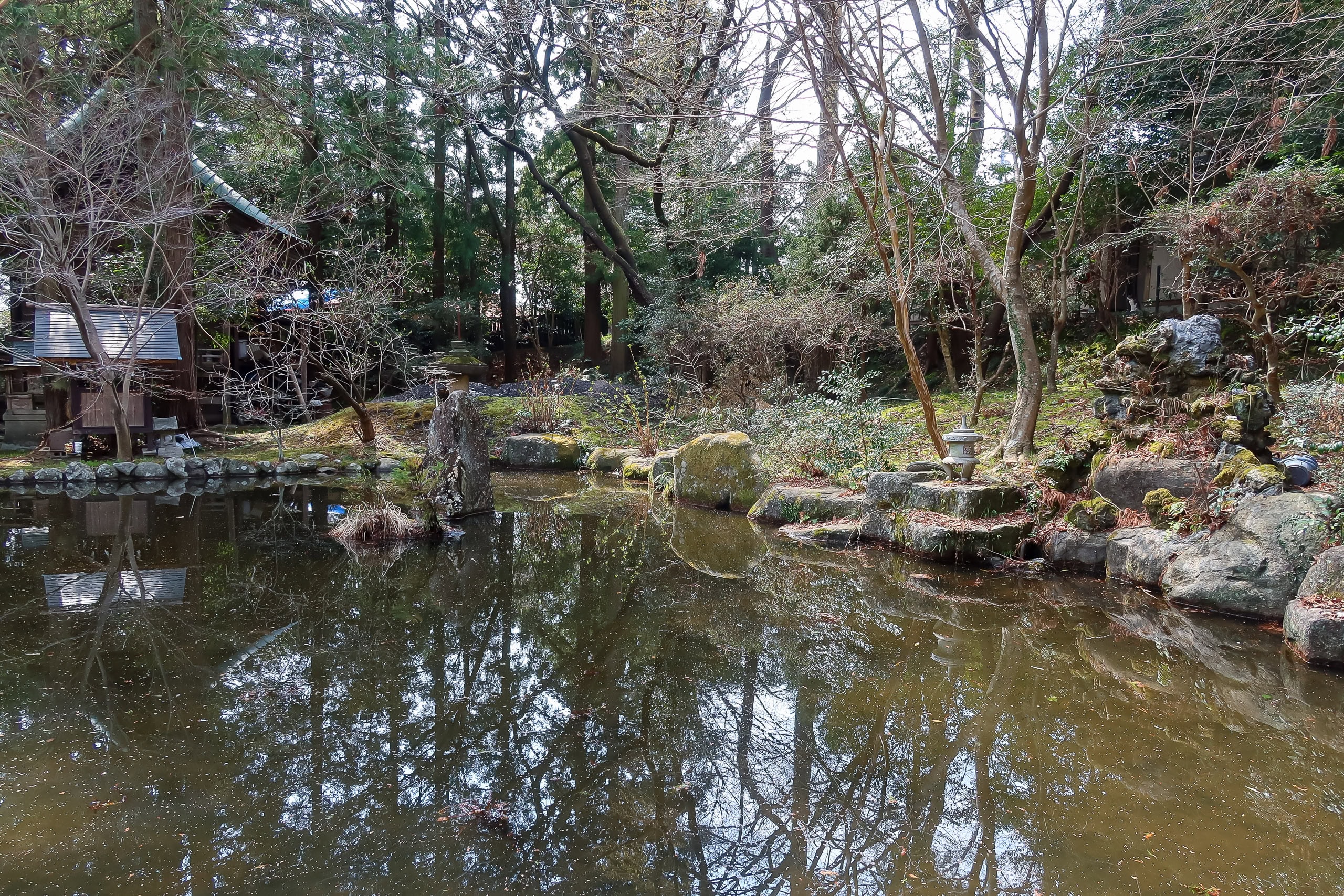
The southern terminus sign stood in Matsukawa-ura Environmental Park 松川浦環境公園, a bay-side park.
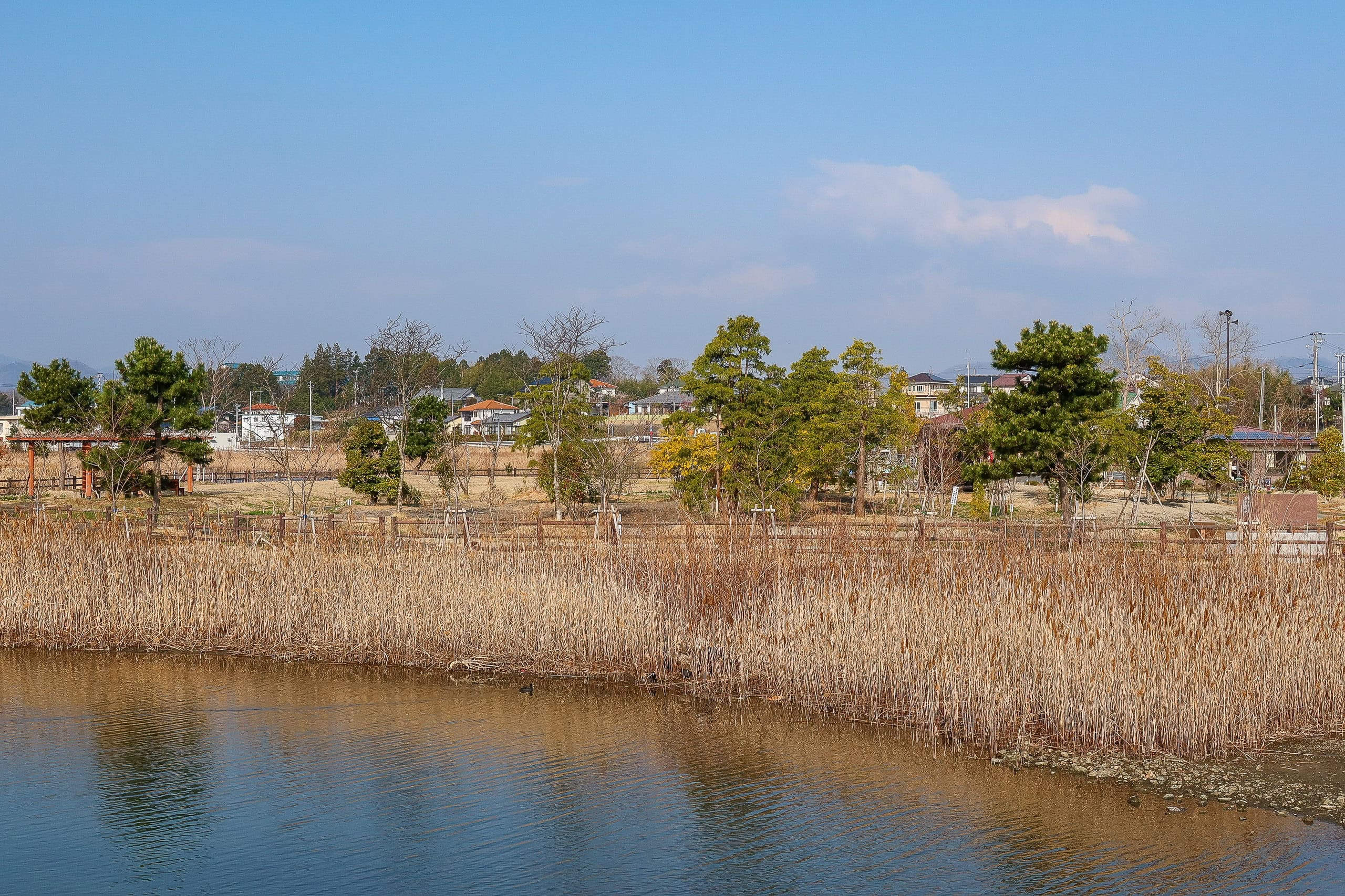
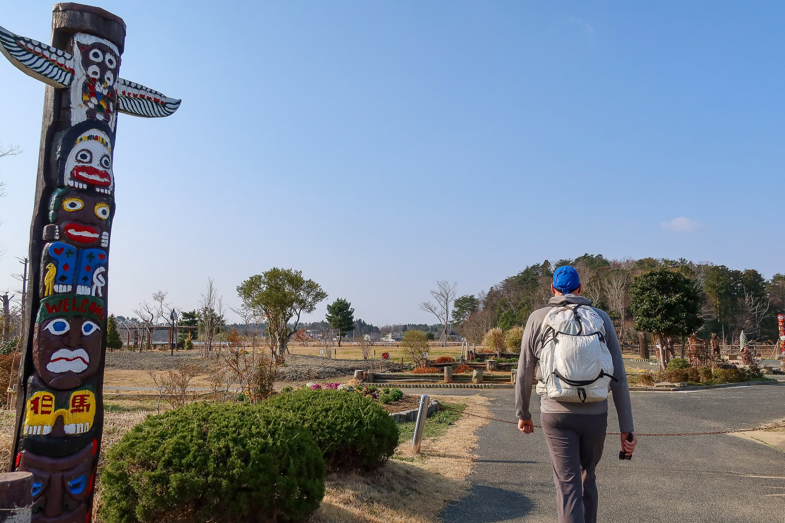
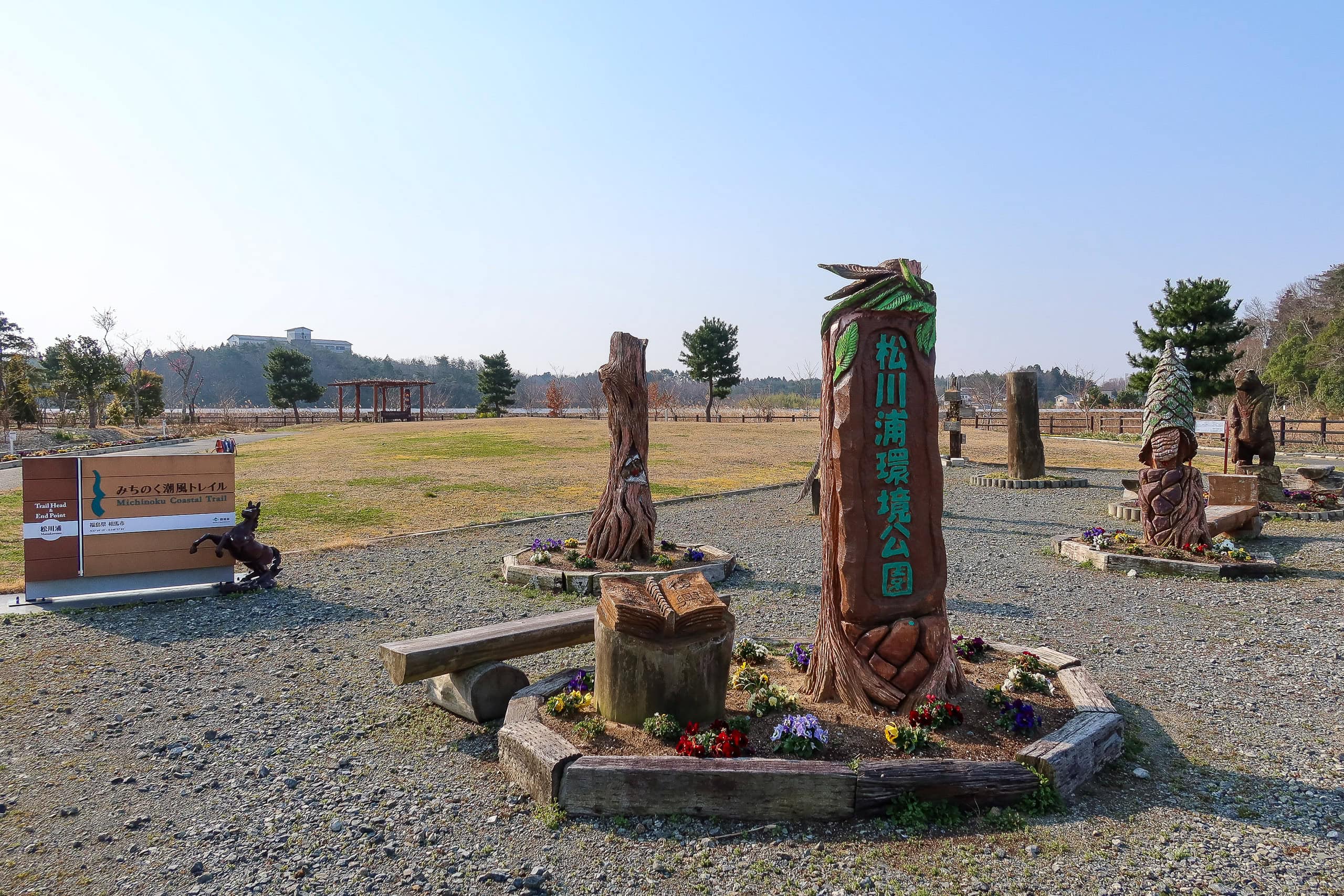
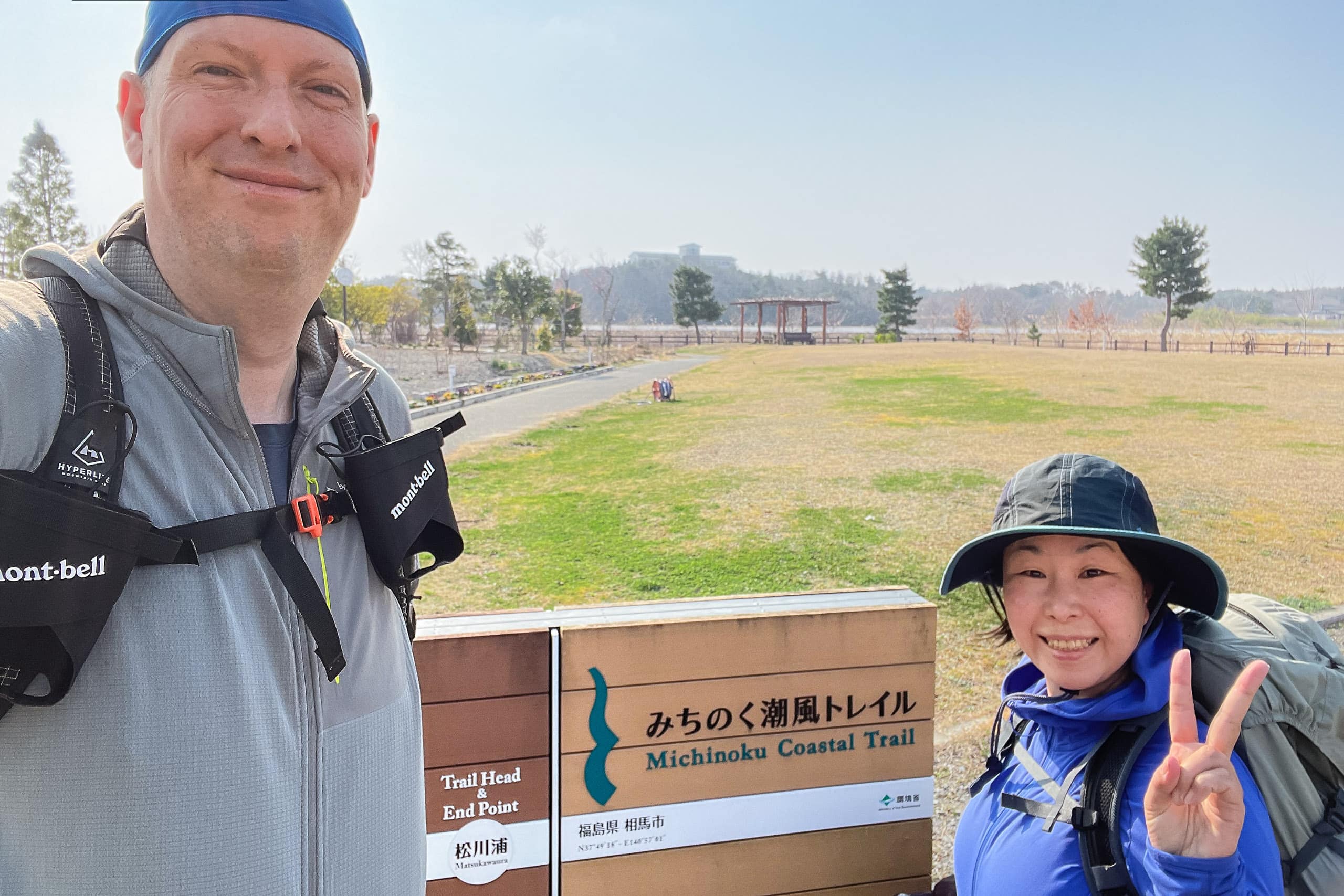
We took a photo with the trailhead sign and studied the MCT map posted by the park entrance. The park was quiet and unremarkable. I couldn’t help but wonder why this particular place had been chosen as the start and end point of the MCT.
At 8:25 a.m. on March 26, 2021, our 1,000-kilometer journey on the Michinoku Coastal Trail began.
Less than 500 meters later, we stopped at the first convenience store for a much-needed breakfast and morning coffee — only for me, as Erik is a tea drinker.
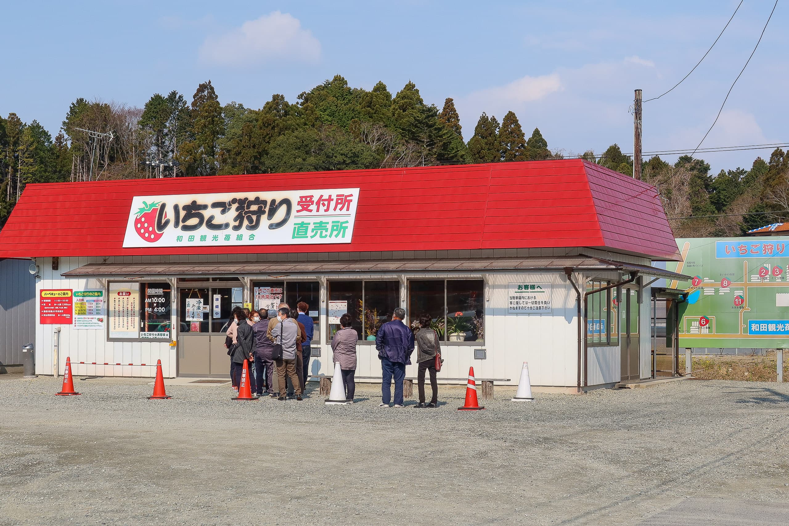
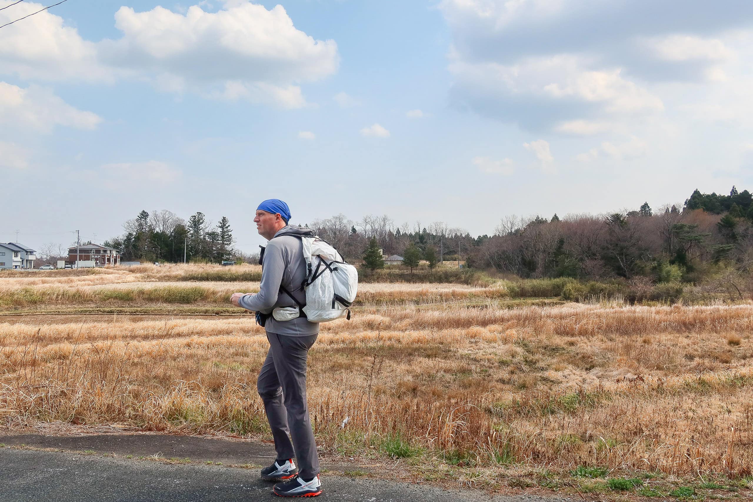
Energized by a quick fifteen minutes of snacks and caffeine, we set off down an asphalt road to the south. We passed locals lined up outside a strawberry farm shop, waiting for it to open. Strawberries grown anywhere in Japan are famously juicy and sweet, and this farm’s must have been excellent.
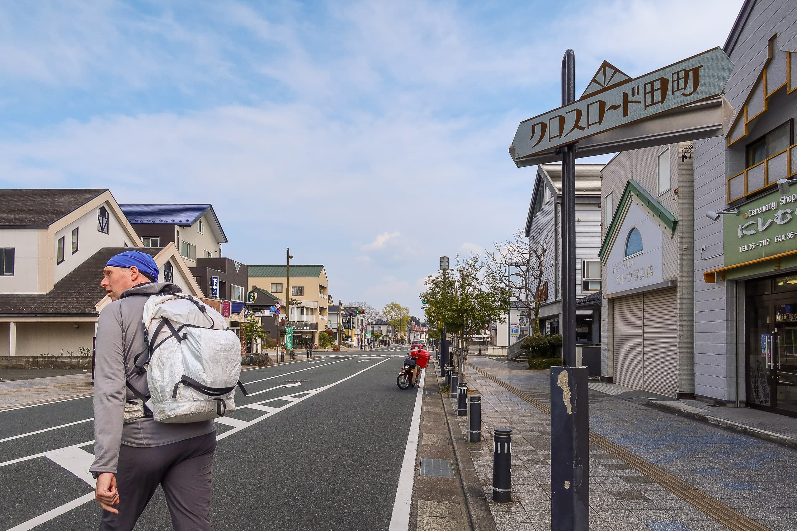
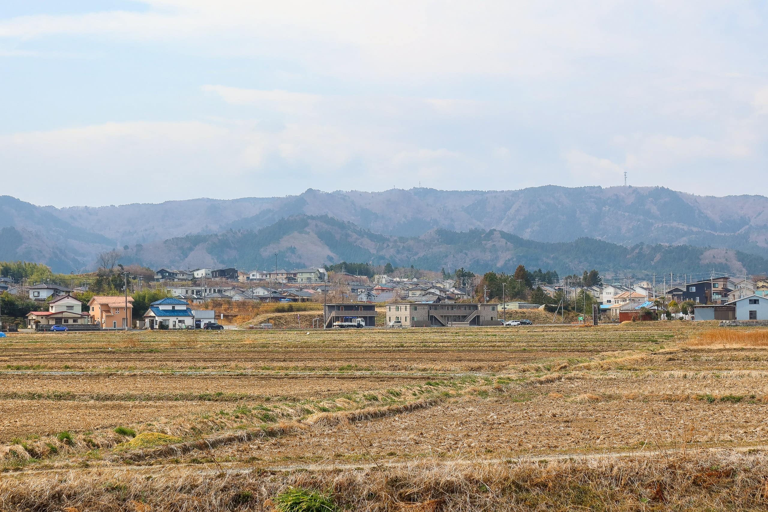
Our plan for the day was to cross the busy residential area of Soma City and continue into the more rural parts of Shinchi Town. About 95% of today’s walk would be on asphalt.
The route was supposed to be straightforward until Soma’s city center — simply following a straight farming road.
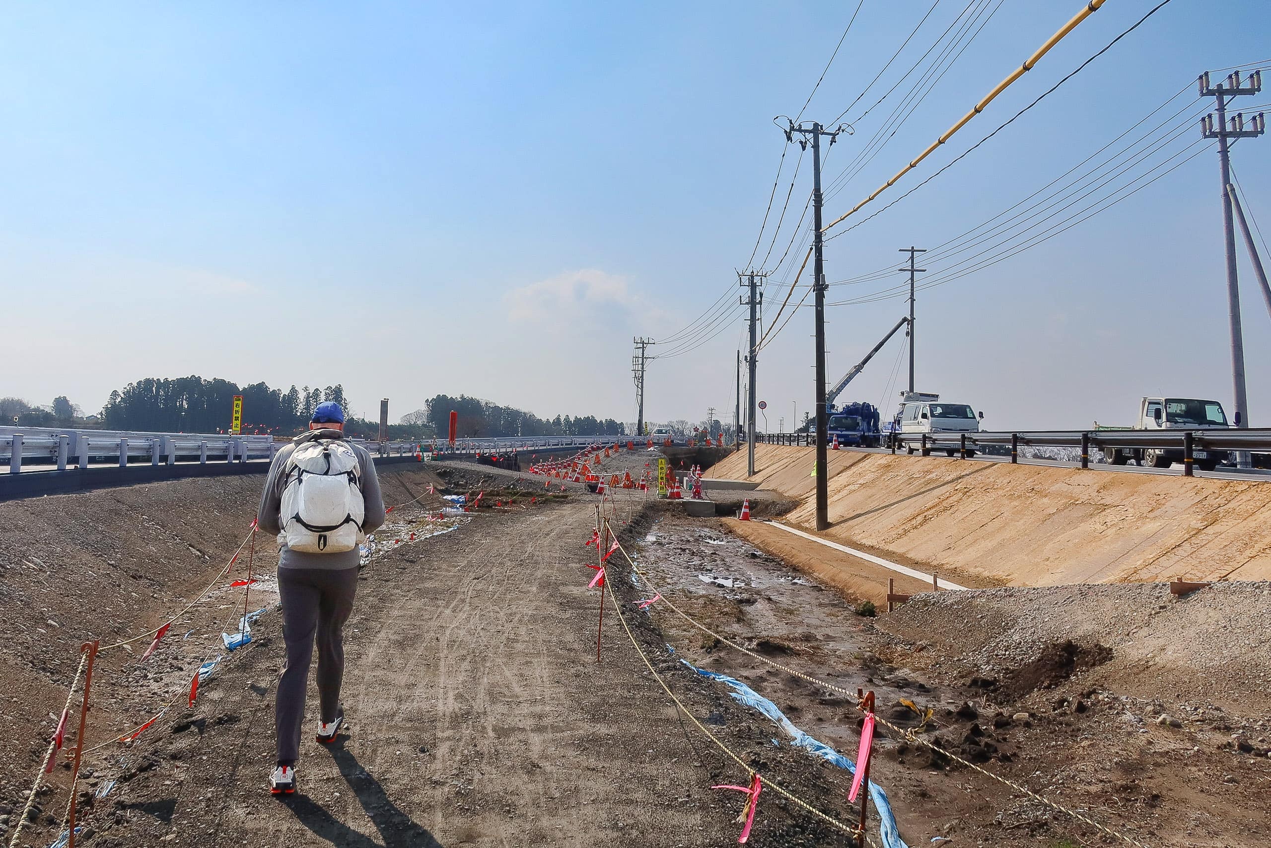
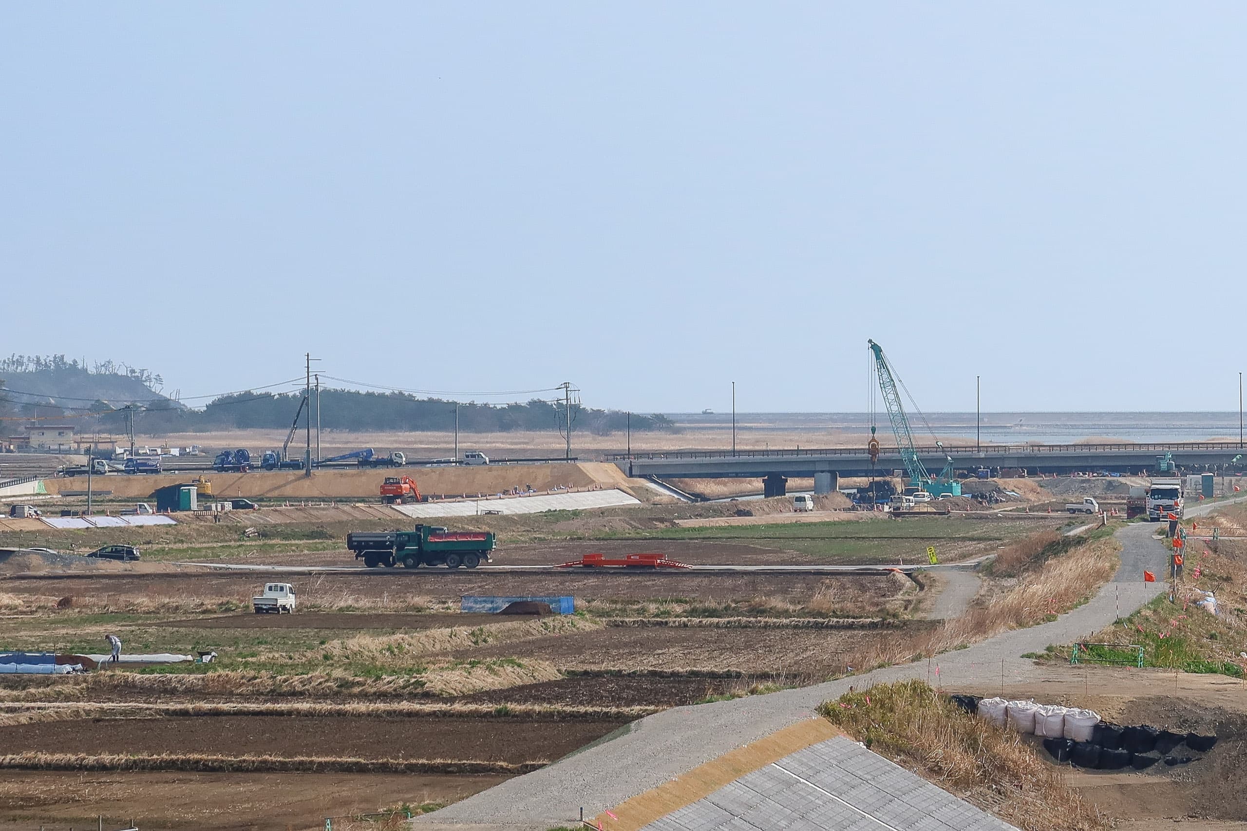
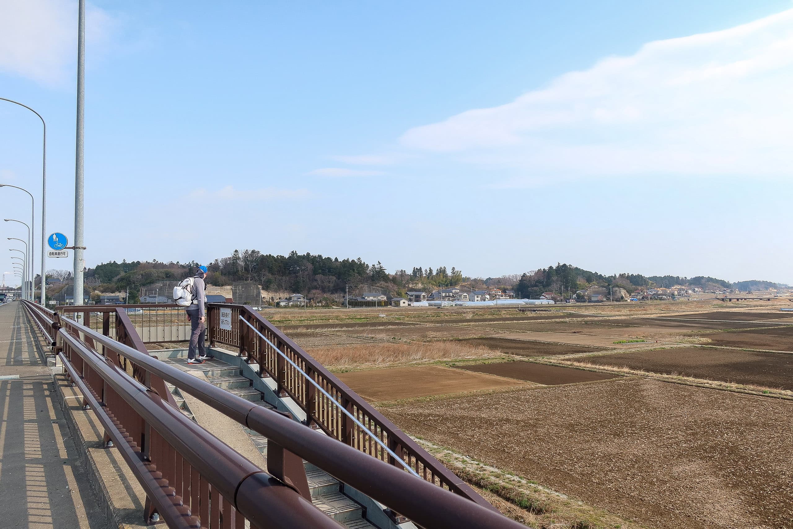
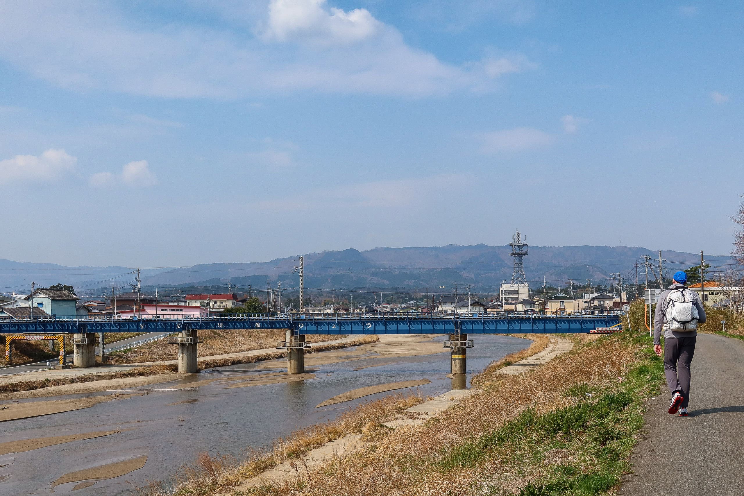
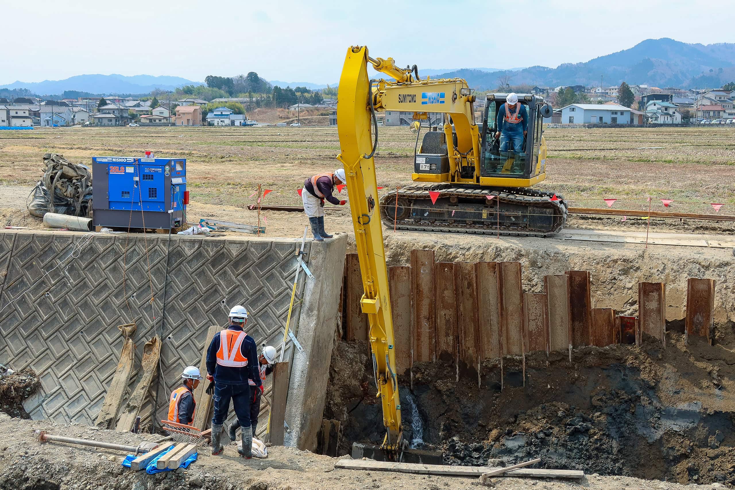
But before long, our first route adjustment was needed. Large-scale construction of a second bridge across the Koizumigawa River 小泉川 and Udagawa River 宇田川 blocked us from entering the farming road we were supposed to follow.
As is common at road construction sites in Japan, there was a temporary path for pedestrians and bikes through the work zone. Following it, we crossed both rivers. The official route was meant to follow a straight farming road along the narrow strip of land between the two rivers. But now, trucks and heavy machinery filled the area, building new roads and likely embankments, restricting access to everyone except farmers tending their crops.
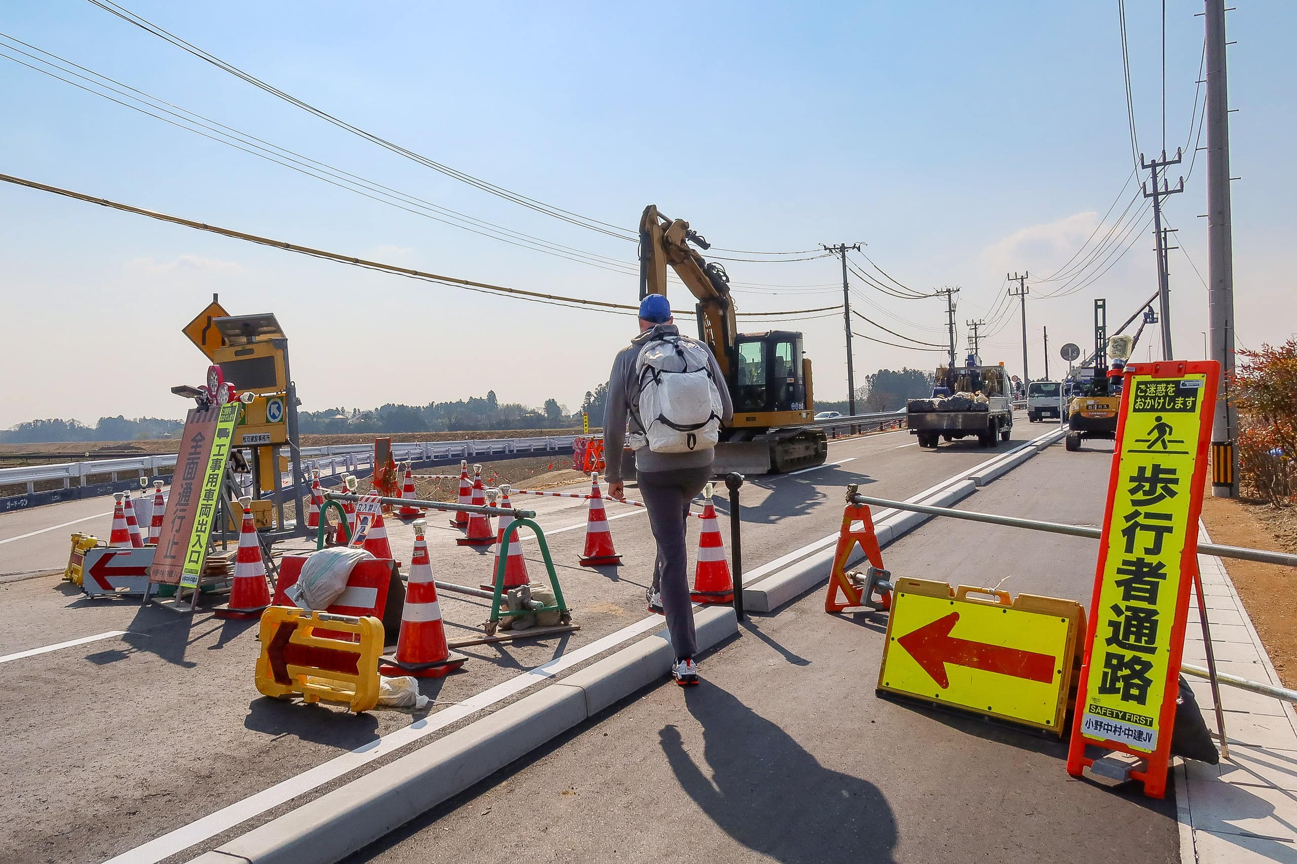
Even though I knew it was pointless, I asked the workers on the first bridge if there was any way we could walk through the construction area to join the farming road. They shook their heads and replied with a polite but firm “No,” looking slightly puzzled yet sympathetic.
Not wanting to be nuisance tourists, we quickly followed the pedestrian detour and pulled out our iPhones to recheck the route.
In addition to the official MCT map books, we had the entire GPX file downloaded from the MCT website — loaded into Erik’s Garmin and my Geographica app. On top of that, I had trail maps on YAMAP and Yamareco, Japan’s two largest hiking apps. With triple backup, we felt well-supported for route finding.
We had to stay on a narrow car road south of the Udagawa River until it met National Route 6. From there, we climbed onto the overpass above the two rivers and the narrow strip of land between them. Eventually we reached the point where the overpass crossed the original MCT route and found stairs leading down to rejoin it.
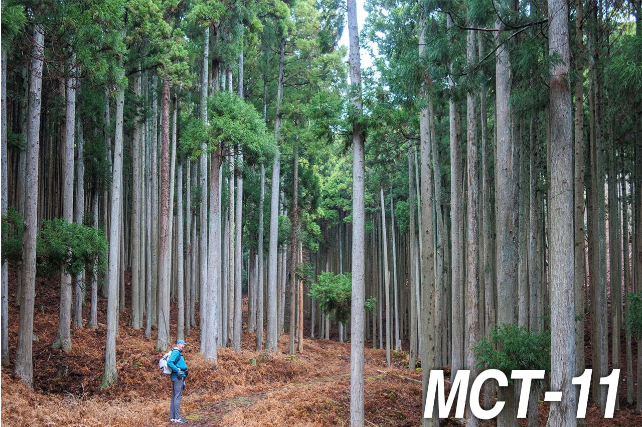
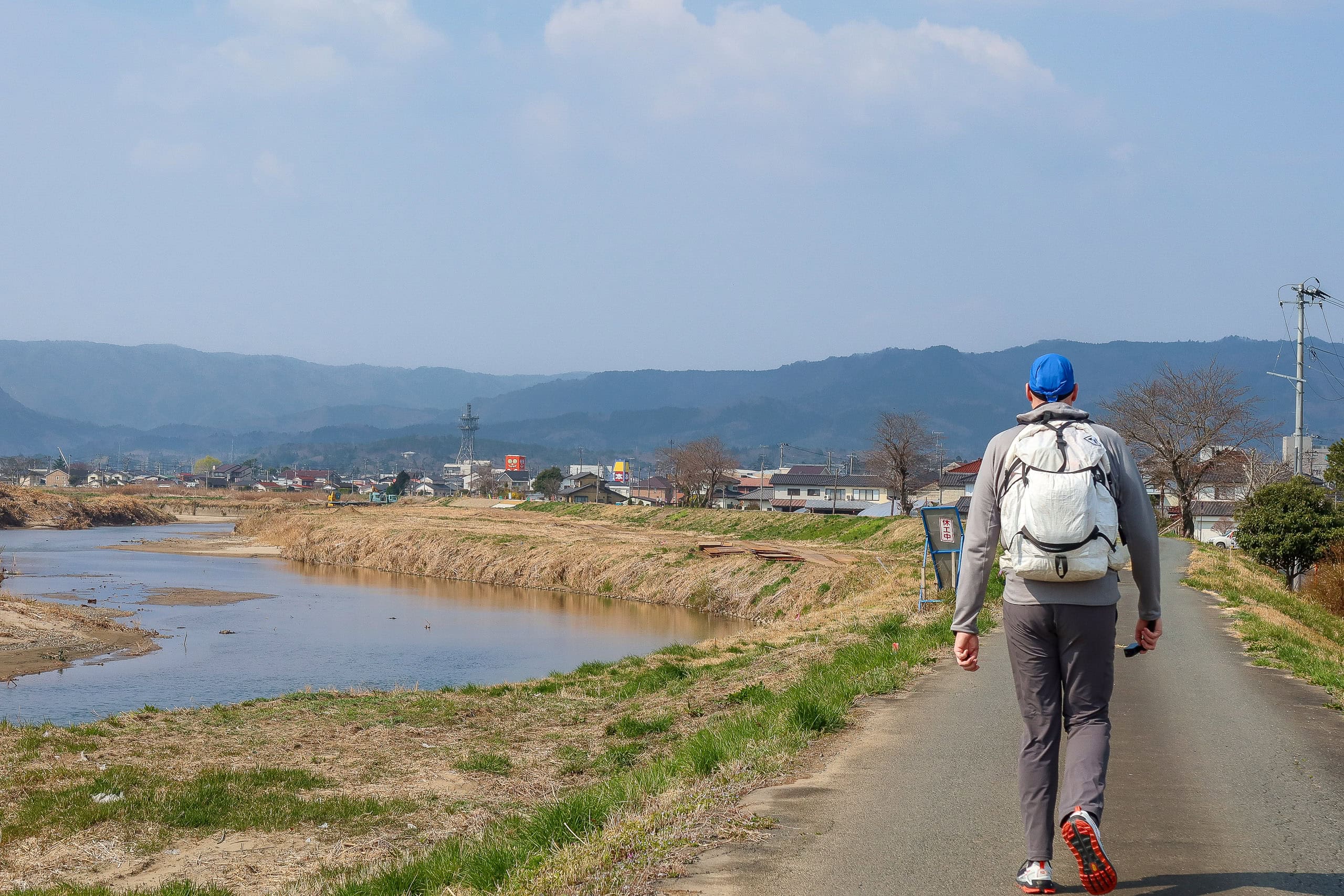
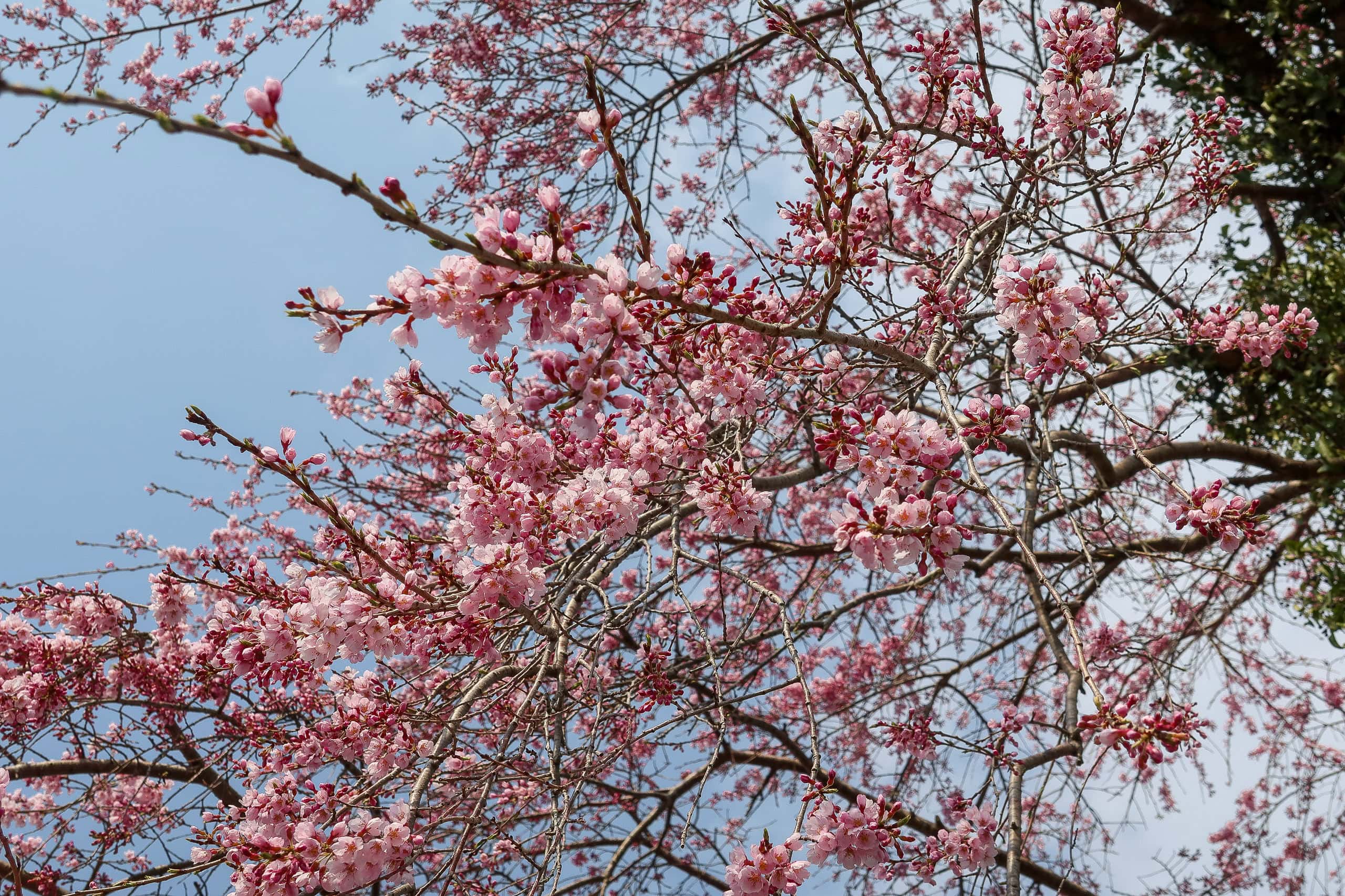
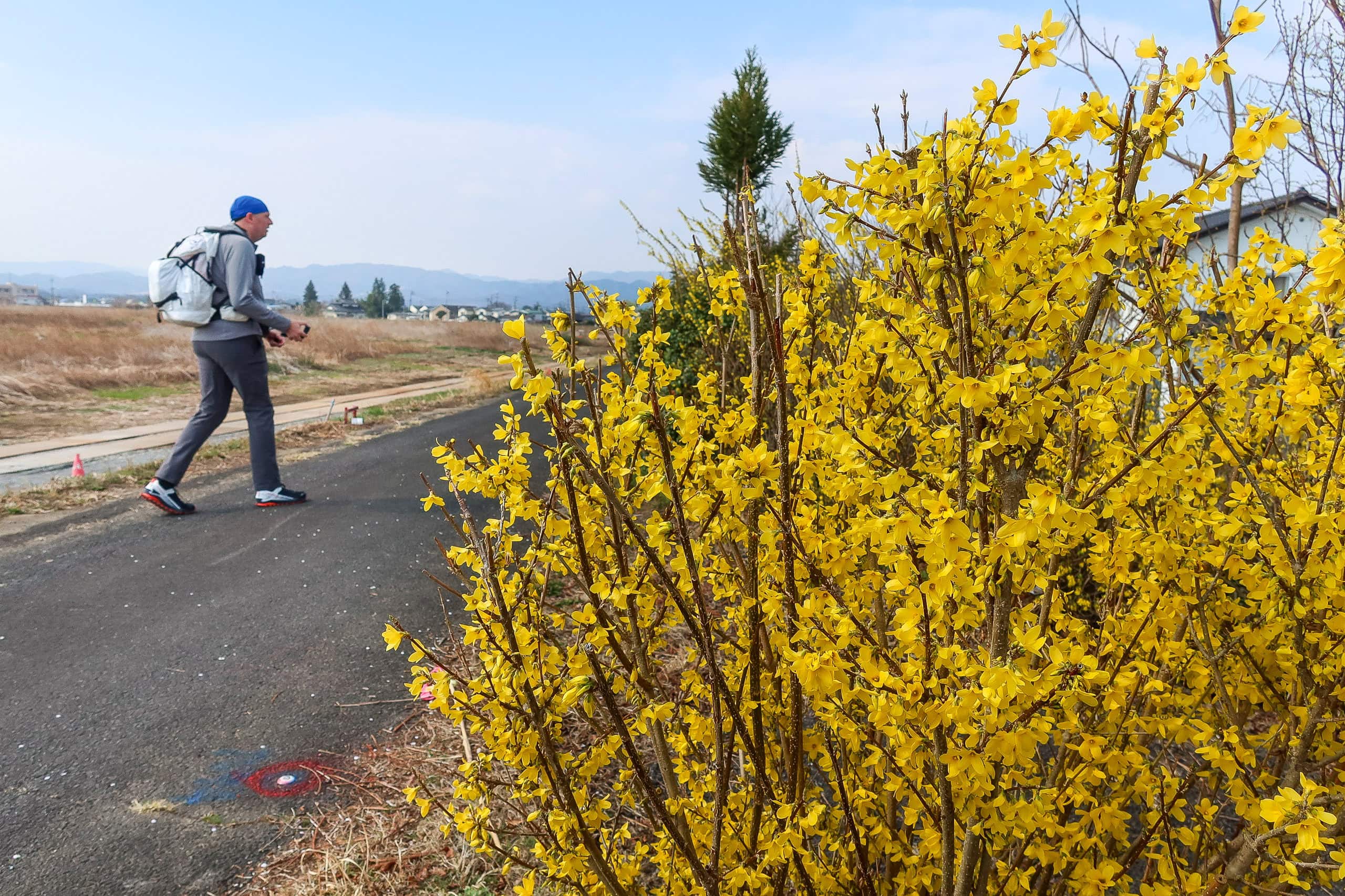
On both sides of the road, the farmlands were still bare — too early in the season for planting. The straight farm road soon reached the Udagawa River and turned into a riverbank path, where a few early signs of spring flowers appeared. It was a lovely, sunny day under a blue sky. We especially lit up when we spotted a lone cherry tree just starting to blossom. Our very first cherry blossoms on the MCT.
Soma City
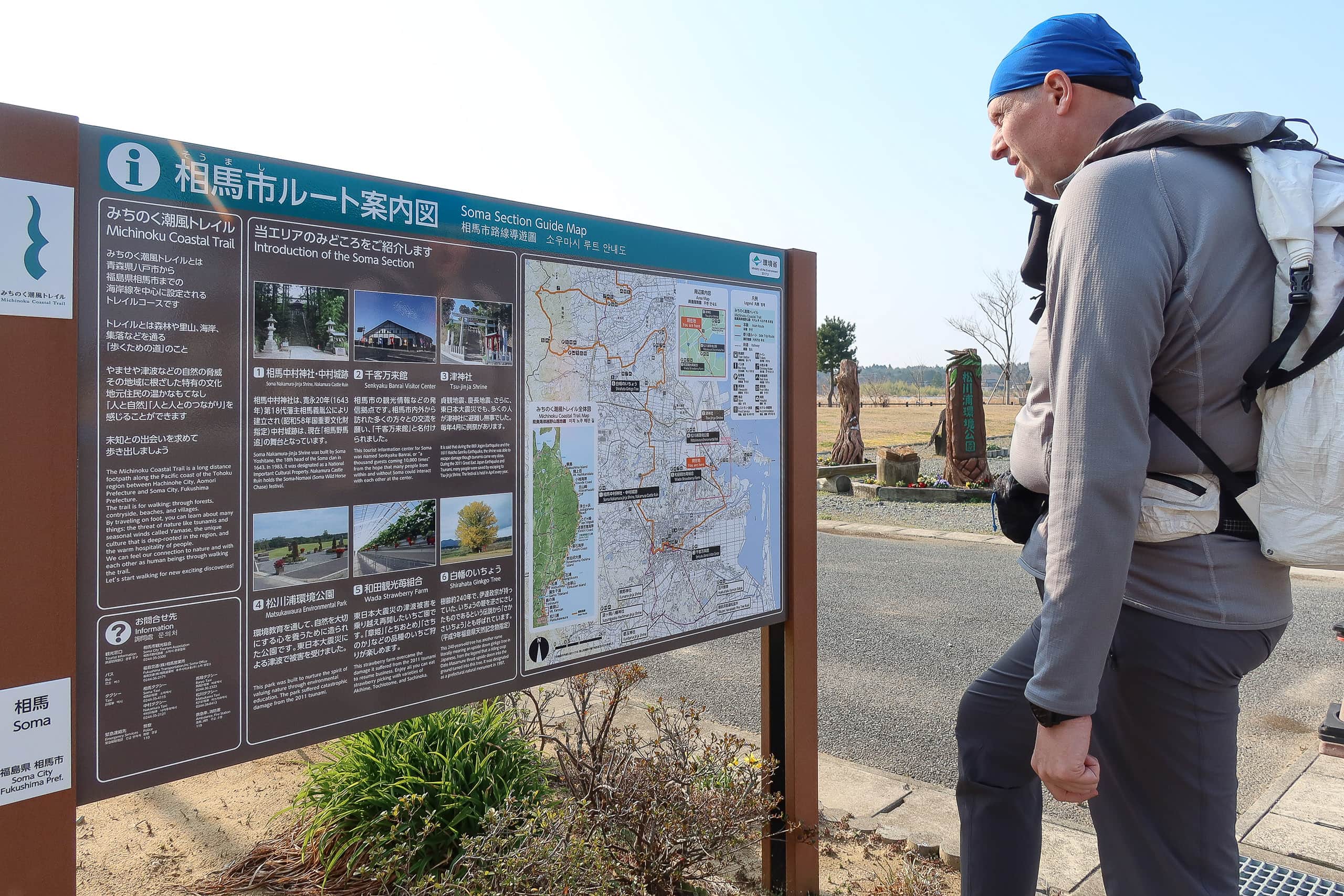
During the planning and preparation stage for our MCT hike, we contacted the NPO Michinoku Trail Club, the organization that manages the trail, to ask questions and arrange some bookings. They suggested we stop by the Soma City tourist information center, called Senkyaku-Banraikan 千客万来館.
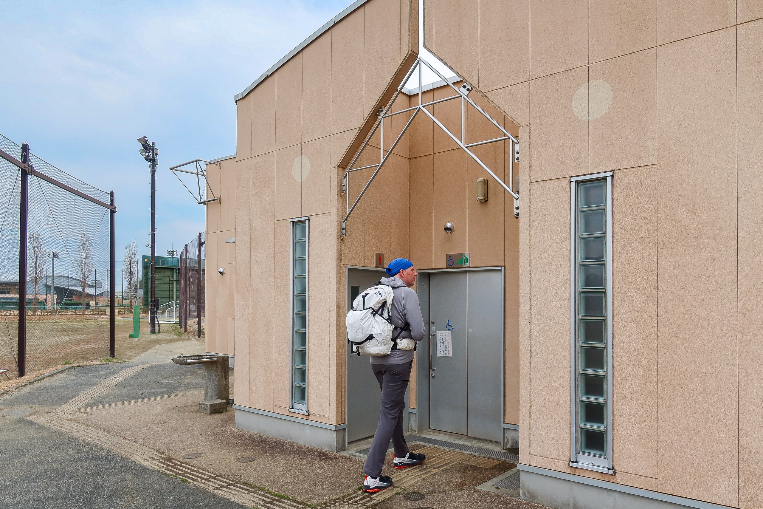
It was on our route anyway, and we needed a bathroom break, so we went inside.
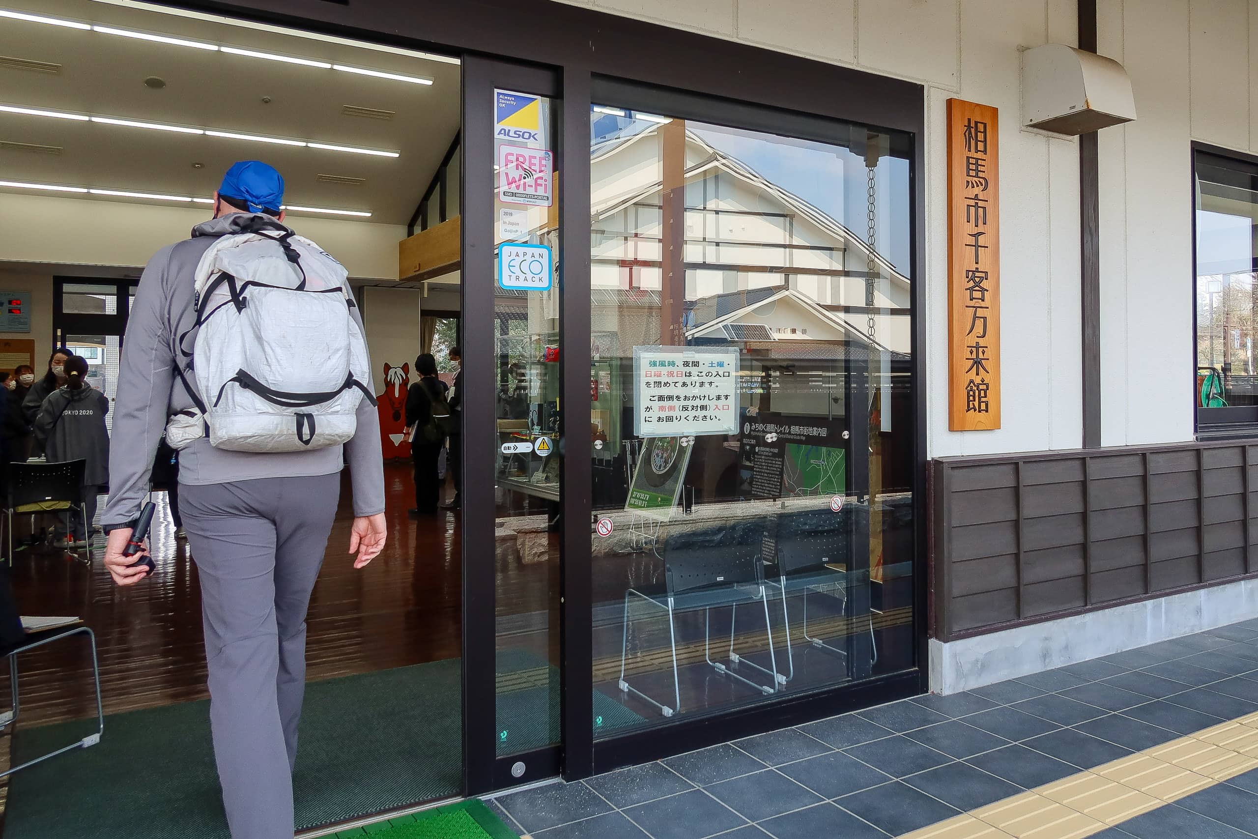
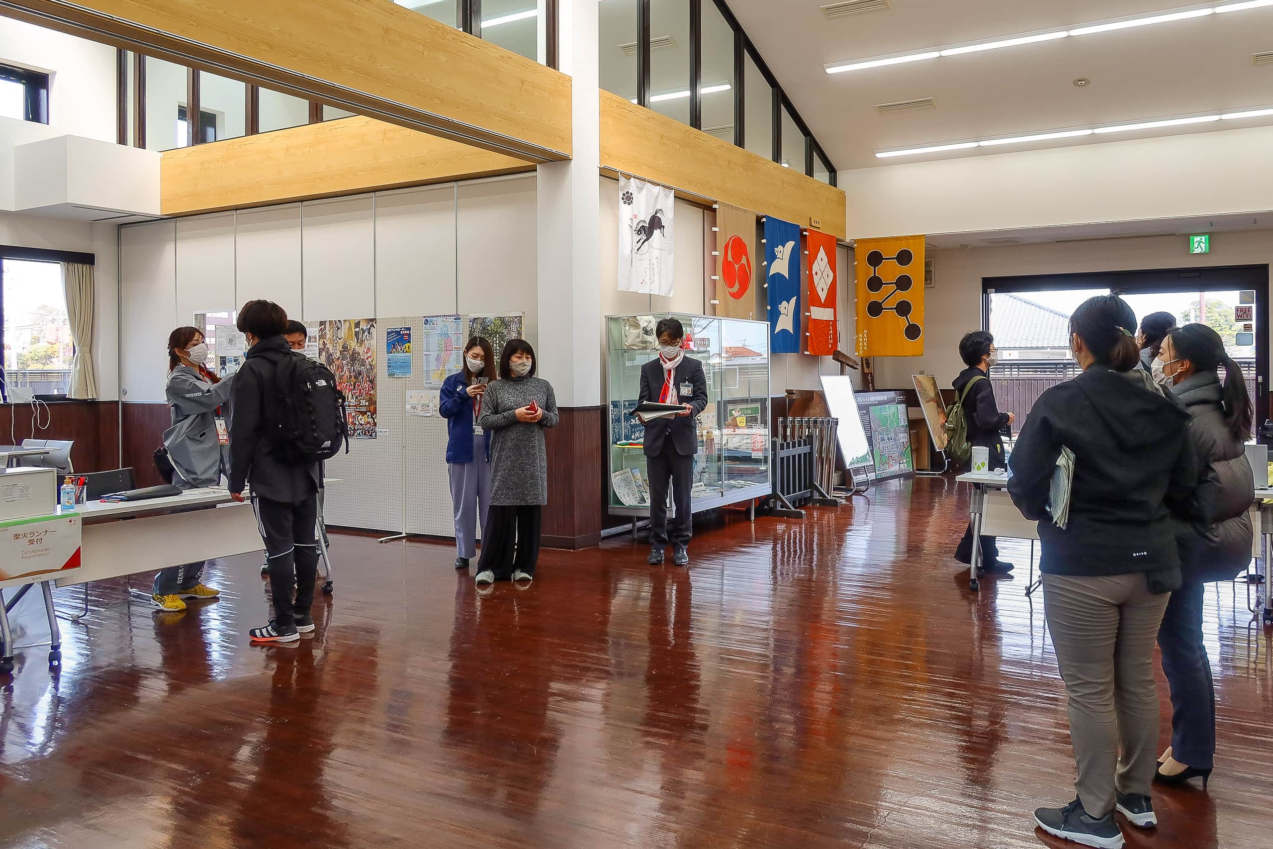
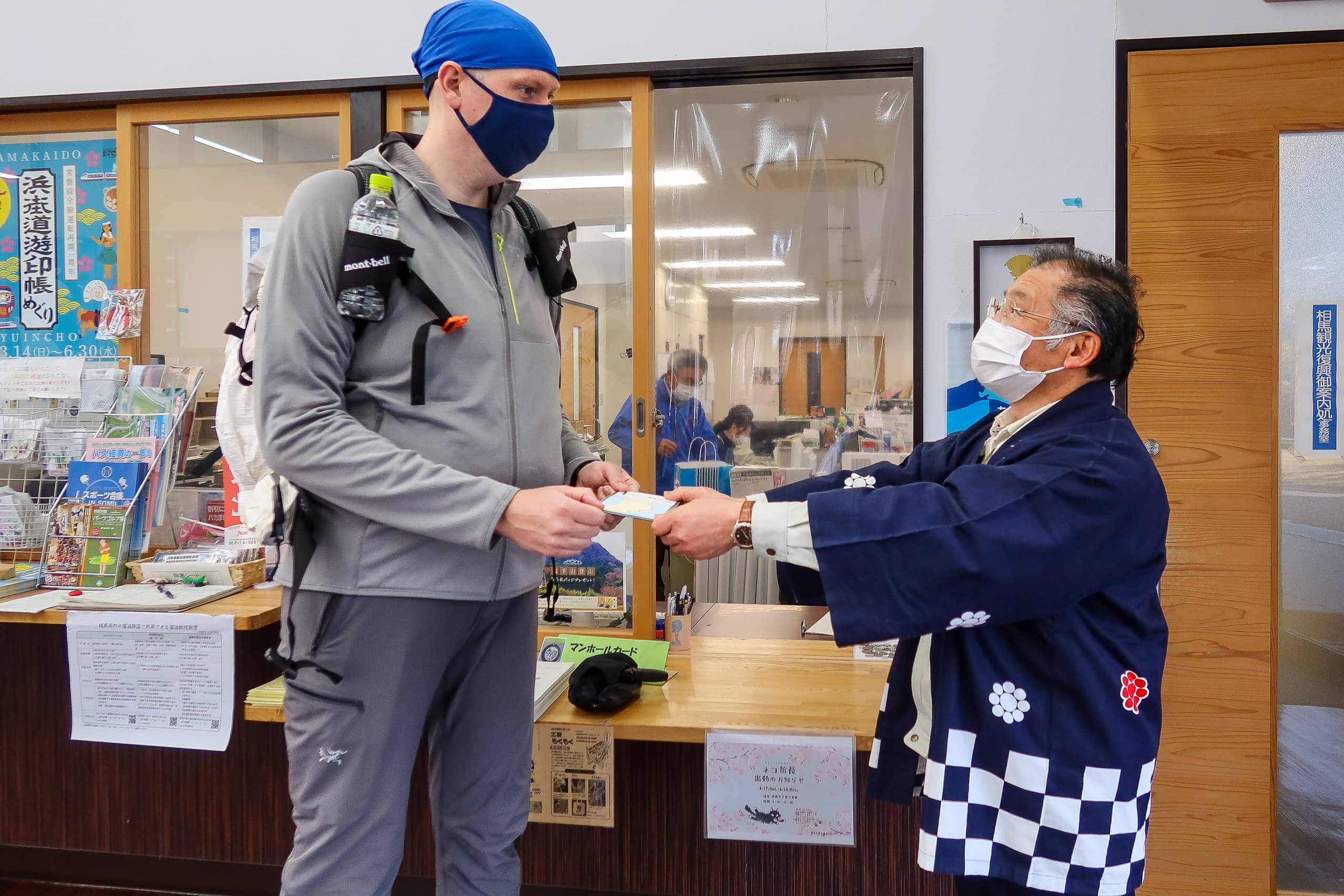
At the entrance hall, we noticed several media reporters and people in matching gray jackets gathered together. For a moment we wondered if we had accidentally walked into a private event. They glanced at us briefly but quickly lost interest, clearly waiting for something else.
As it turned out, this was the second day of the Tokyo Olympics Torch Relay, passing through Tohoku. The relay had started the day before in southern Fukushima and was heading north. Earlier that morning, local torchbearers had run through Soma City and were now coming here to check in and receive commemorative gifts.
The tourist information center was still open to the public, and the staff were warm and welcoming.
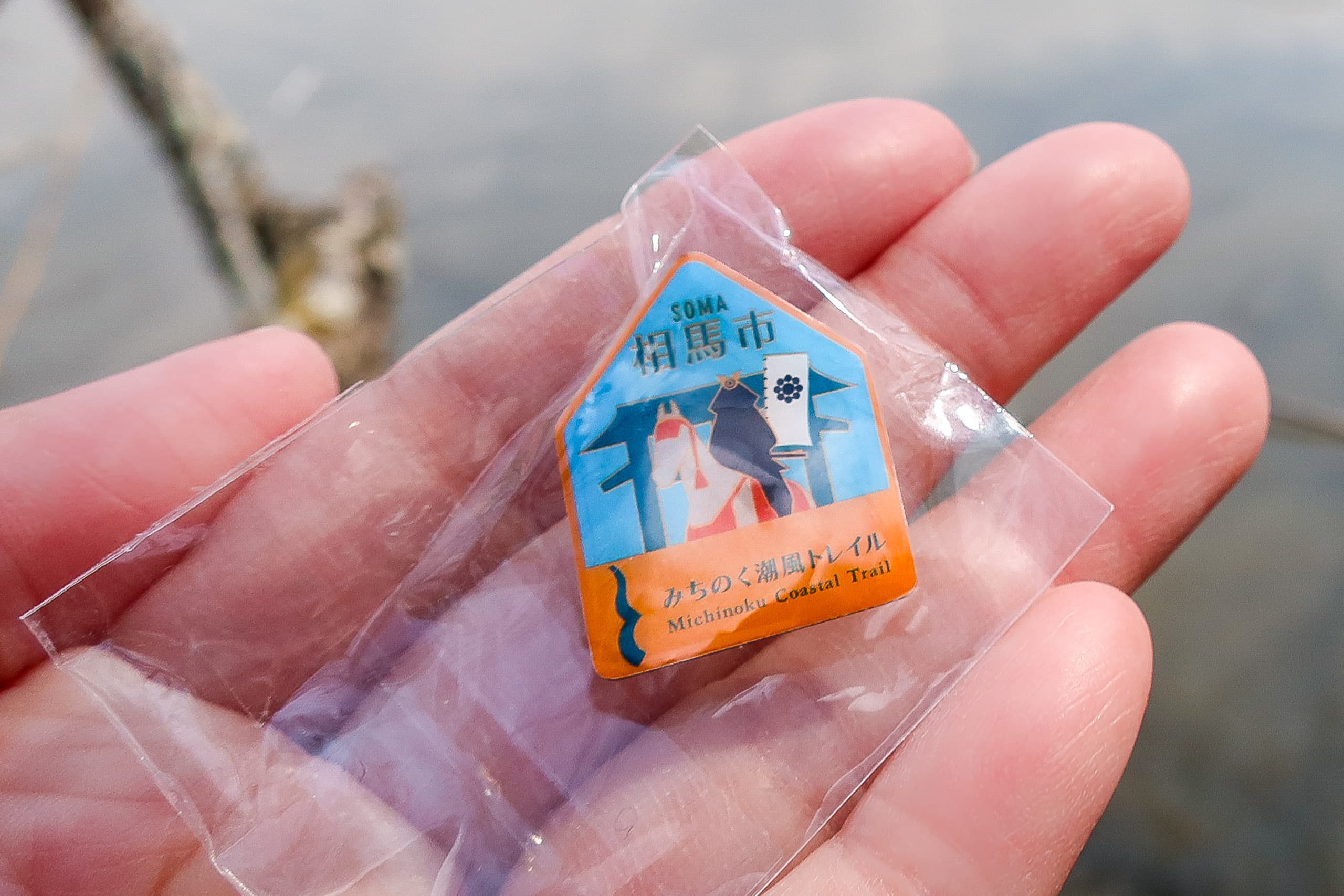
They handed us a paper map of the MCT route in Soma and the city’s original pin badge with the MCT logo. They also asked if they could take our photo for their social media collection of MCT hikers. We happily agreed, and enjoyed a short photo session.
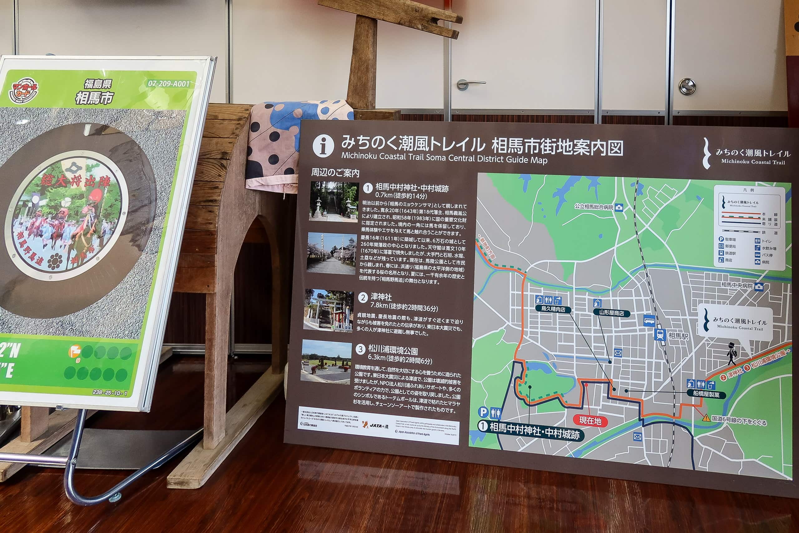
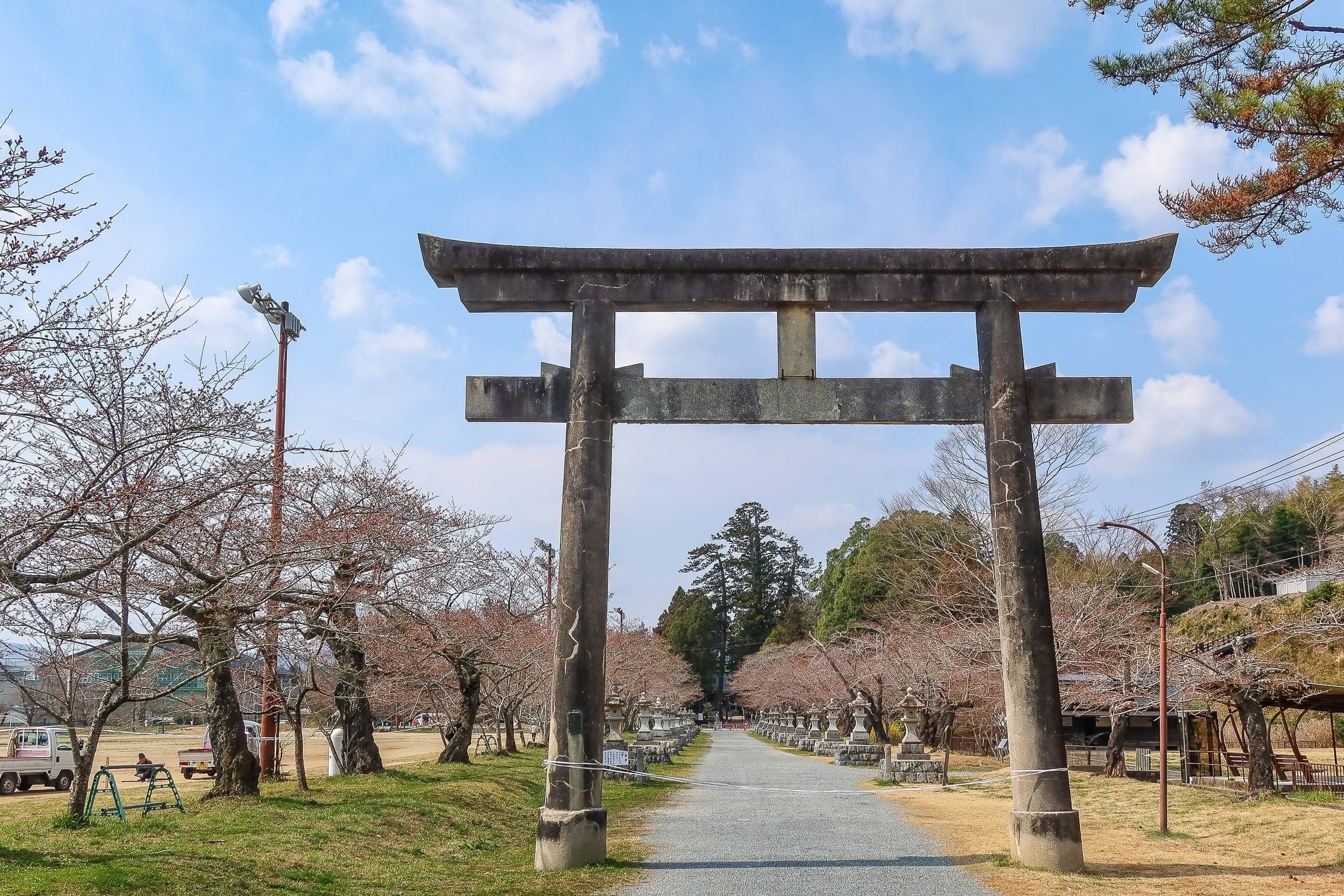
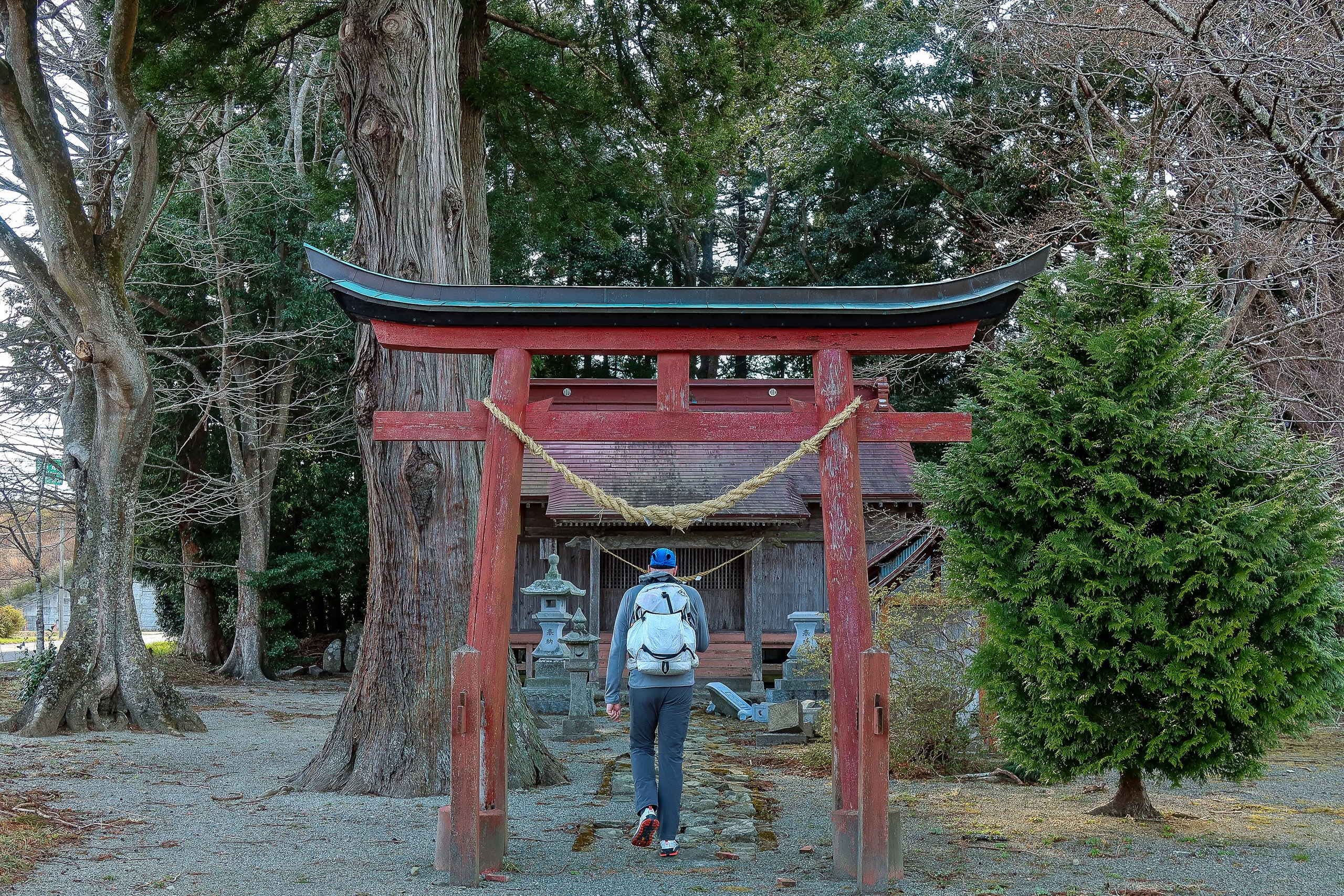
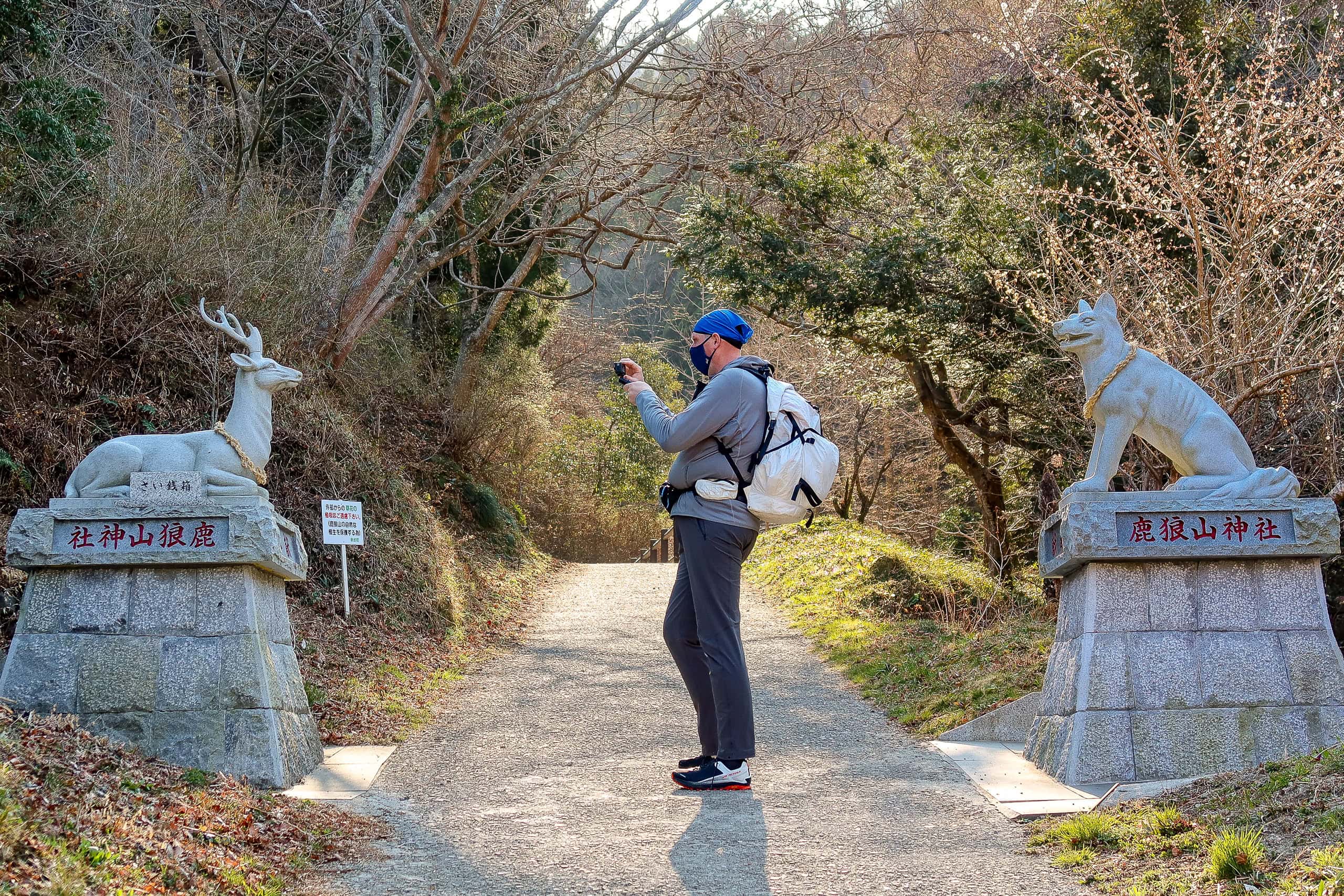
The information center sits next to the site of the former Soma-Nakamura Castle 相馬中村城 and Nakamura Jinja 中村神社, a large Shinto shrine.
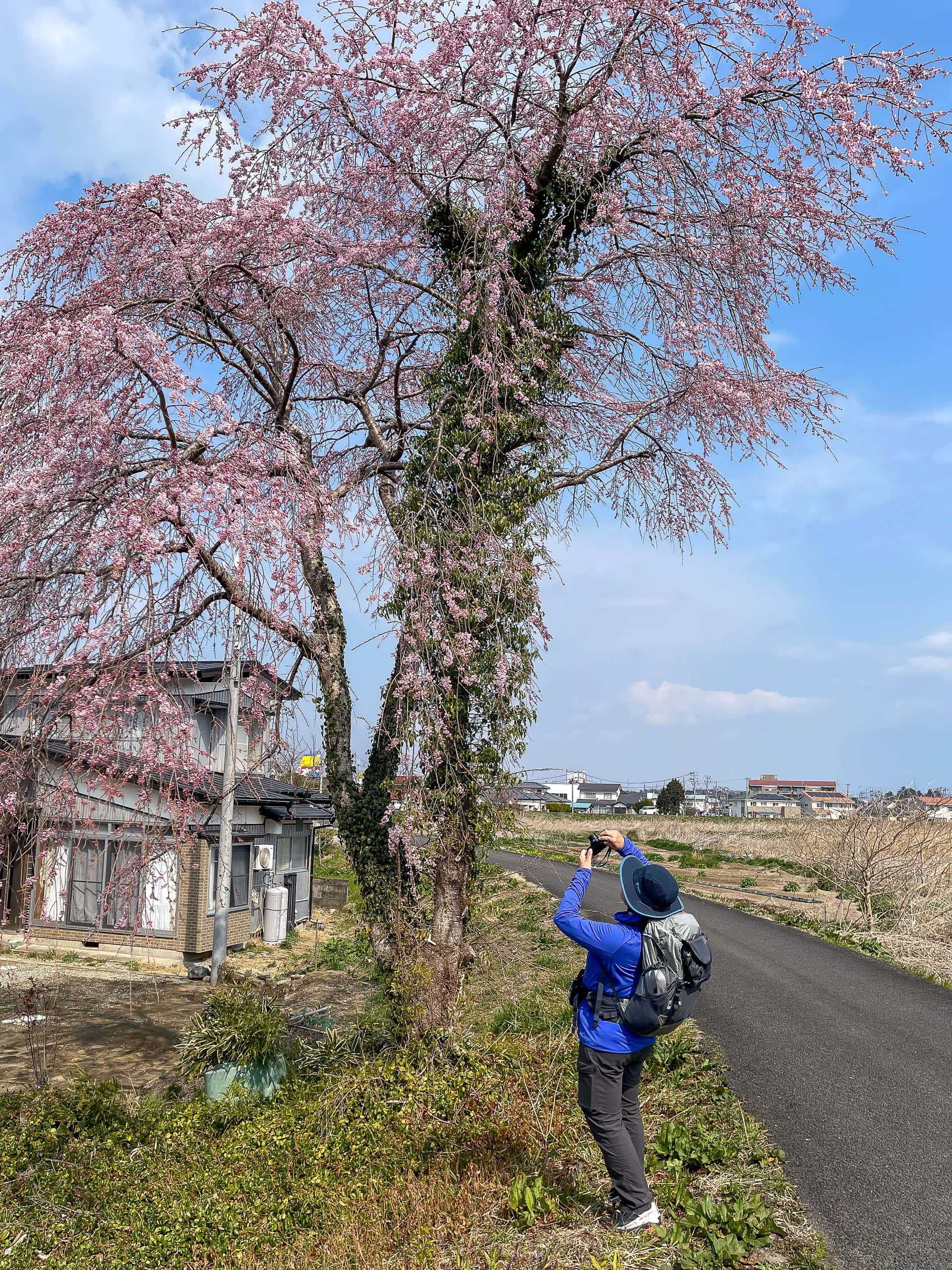
A long approach to the shrine was lined with cherry trees, their buds swollen but not yet blooming. If we had come a week later, it would have been the perfect moment to walk through a flourishing pink corridor.
On both sides of the approach were wide open spaces.
Later we learned that Nakamura Jinja and these grounds are one of the venues for the famous Soma Nomaoi Festival 相馬野馬追, held every year.
Throughout history, the Soma area — today’s Soma City and Minami-Soma City — has been nationally known for its fine horses and horsemanship. The people of Soma take great pride in their riding skills and in raising and training strong horses. The Nomaoi Festival, passed down for more than a thousand years, is the stage where they display this tradition.
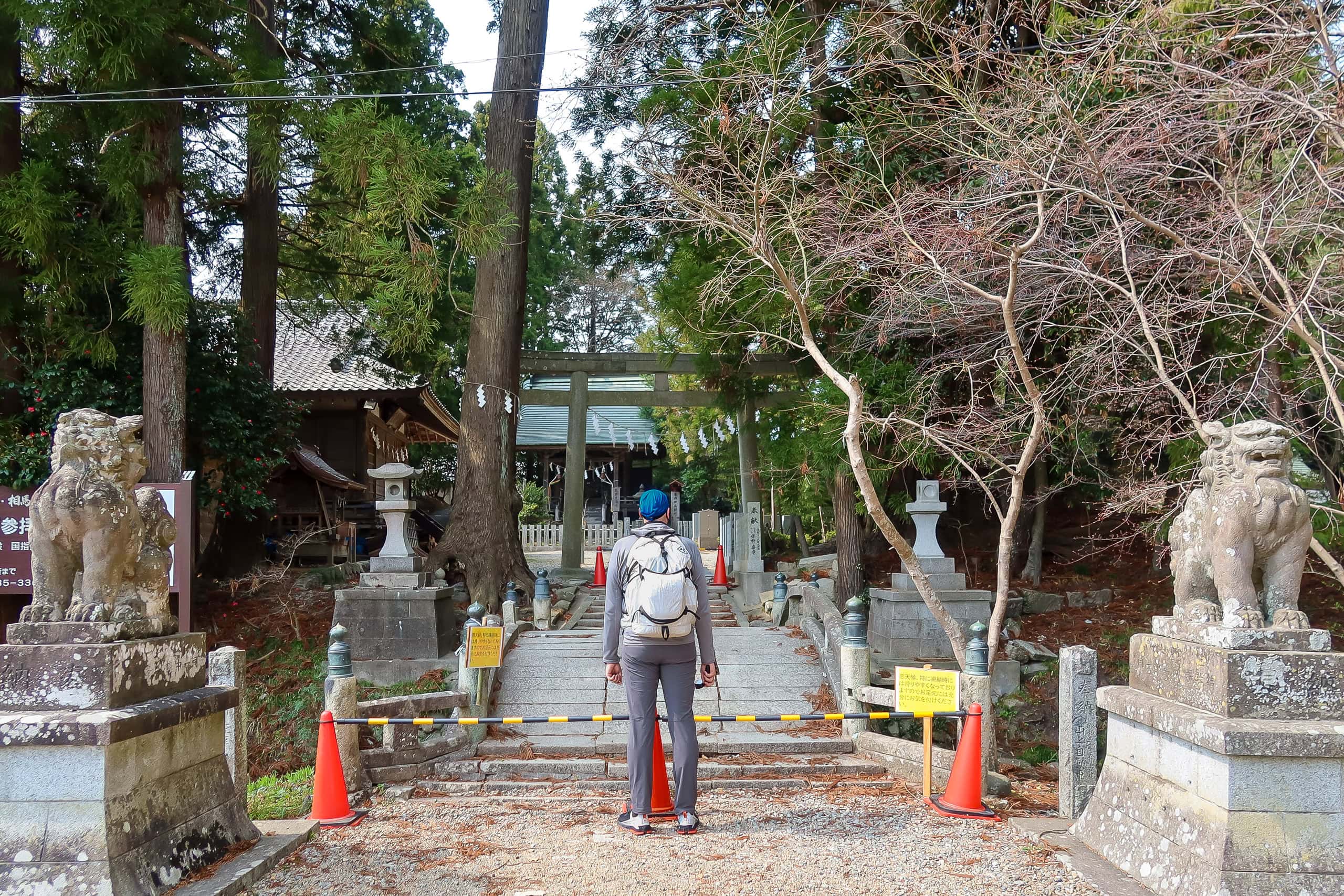
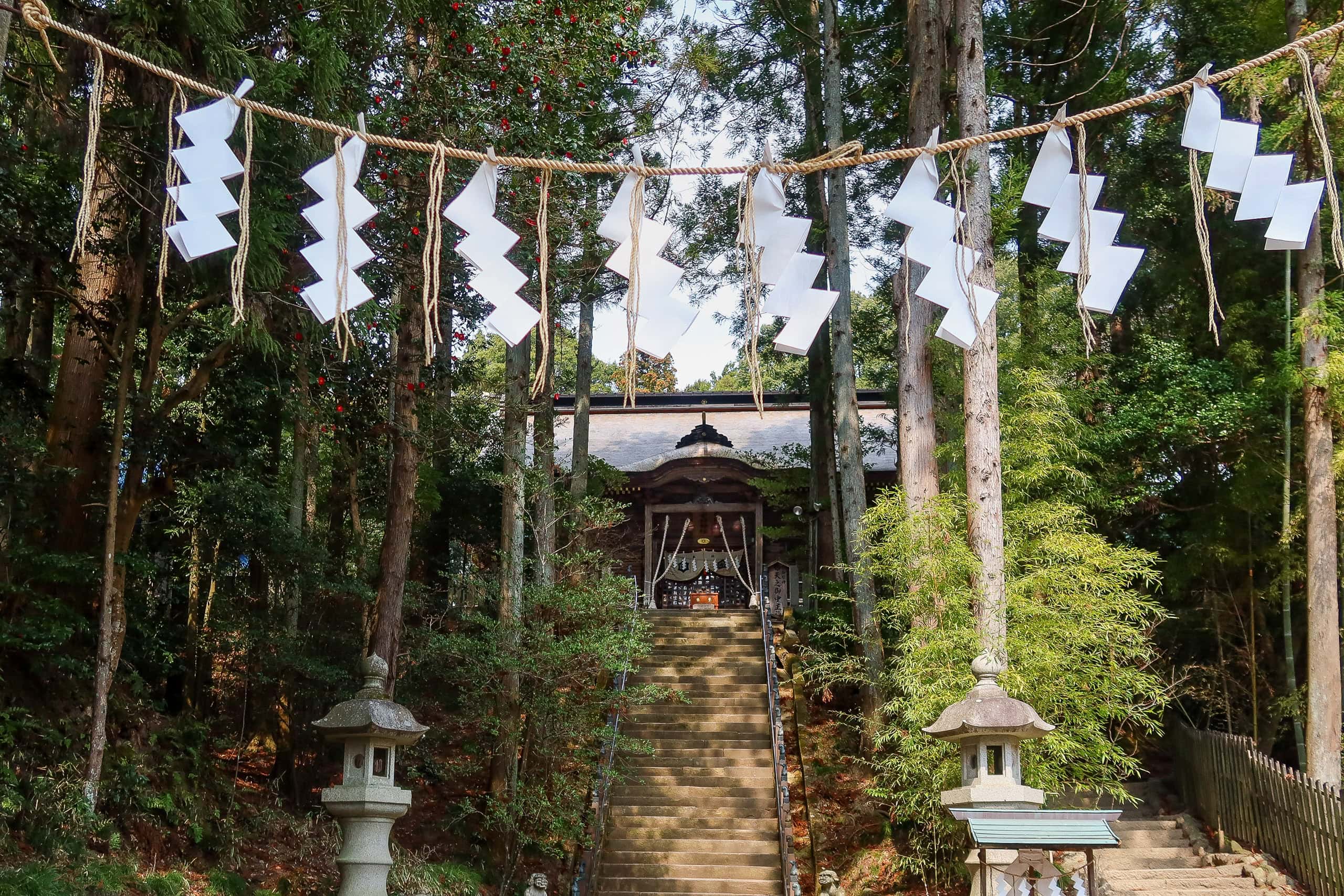
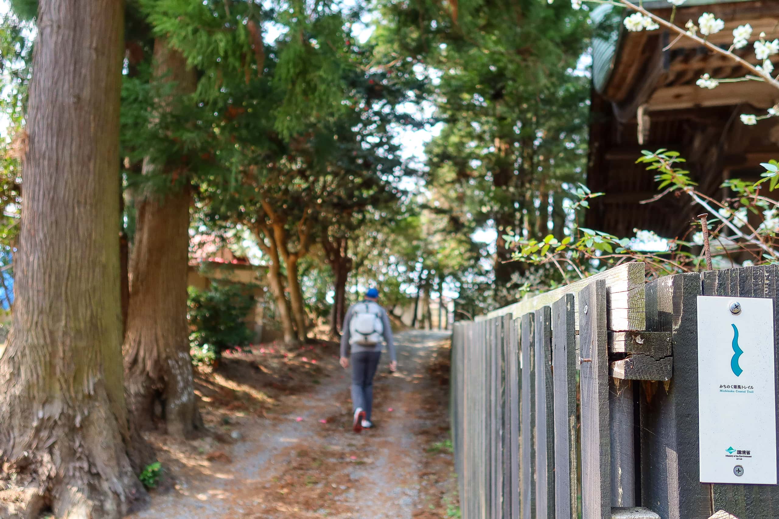
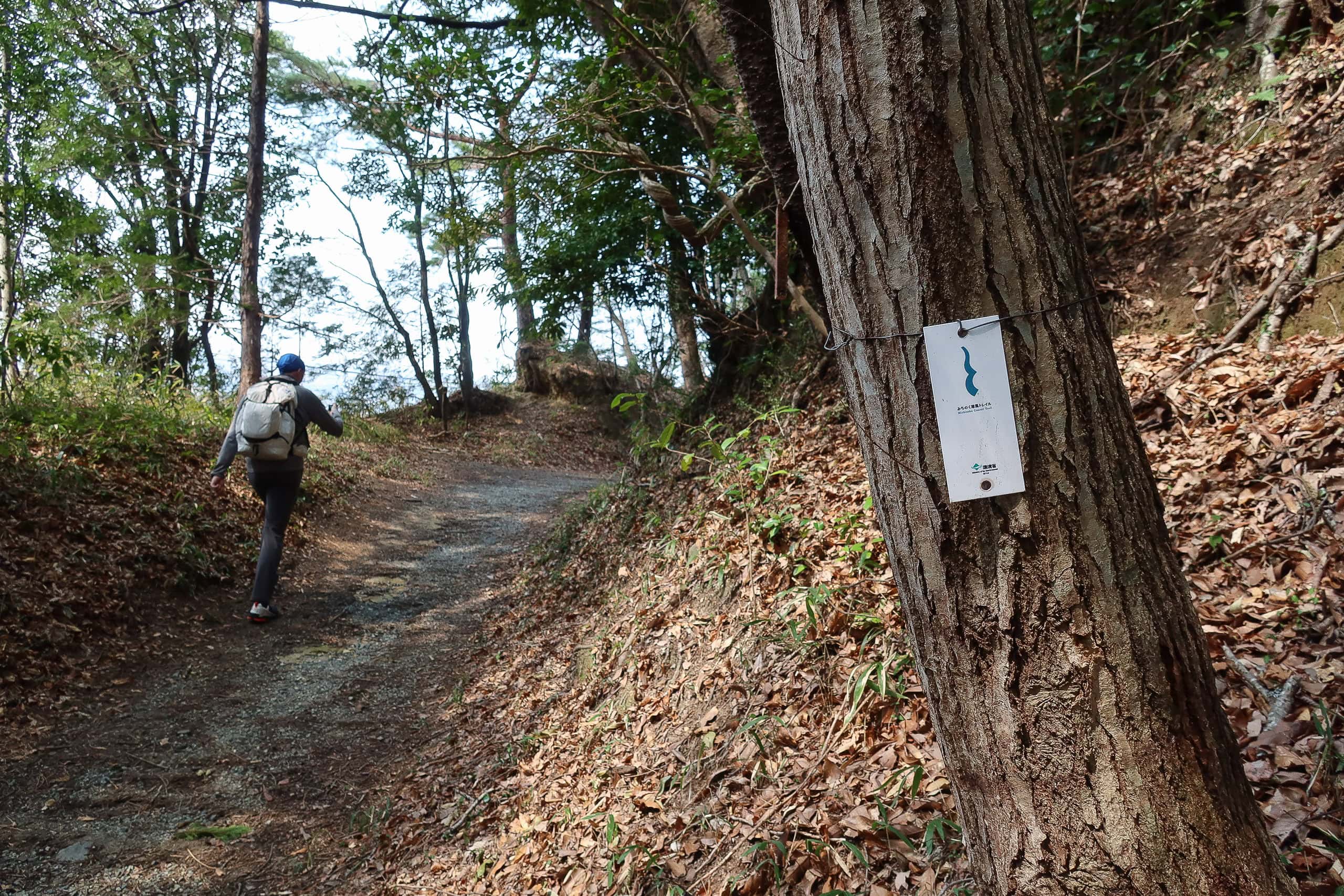
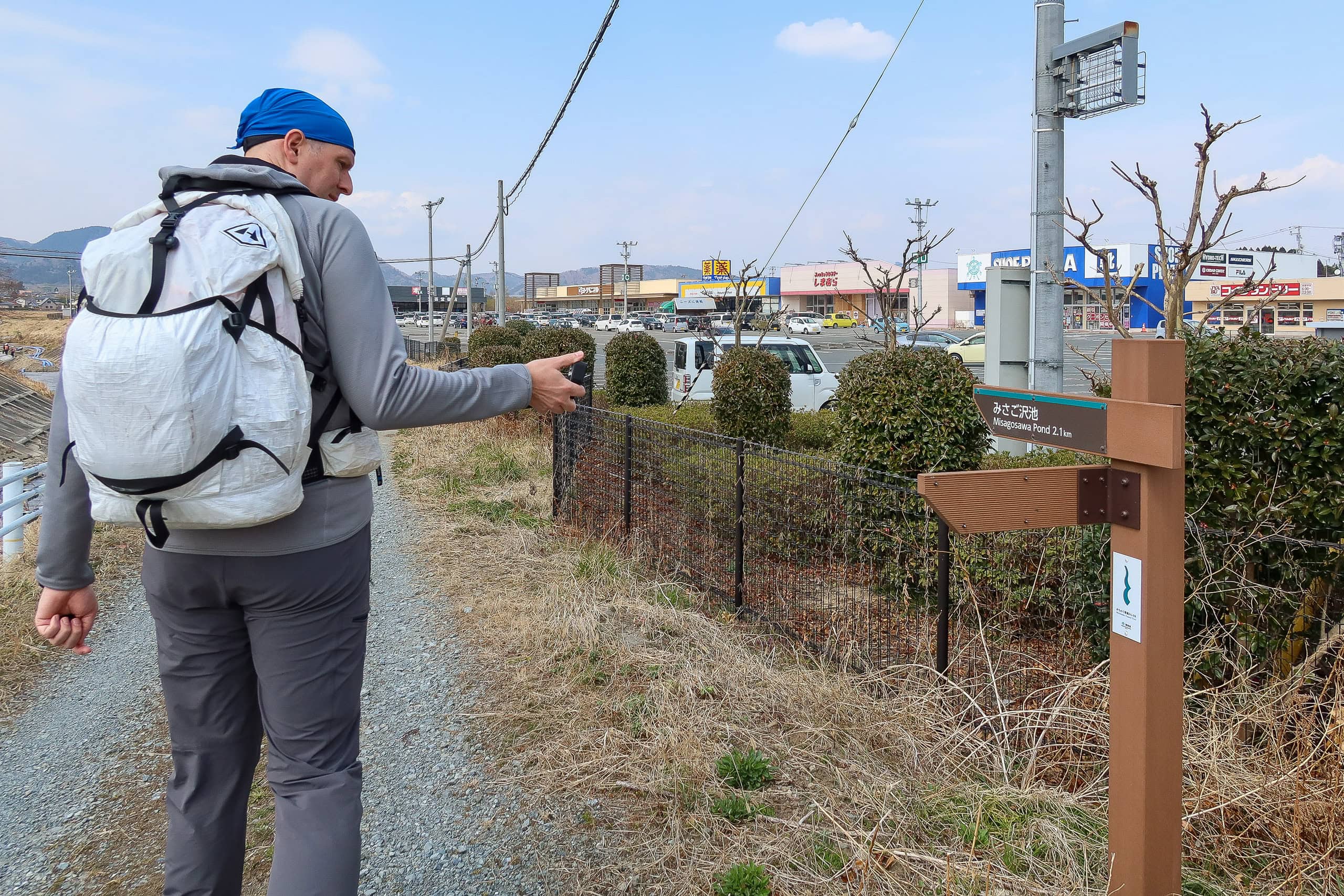
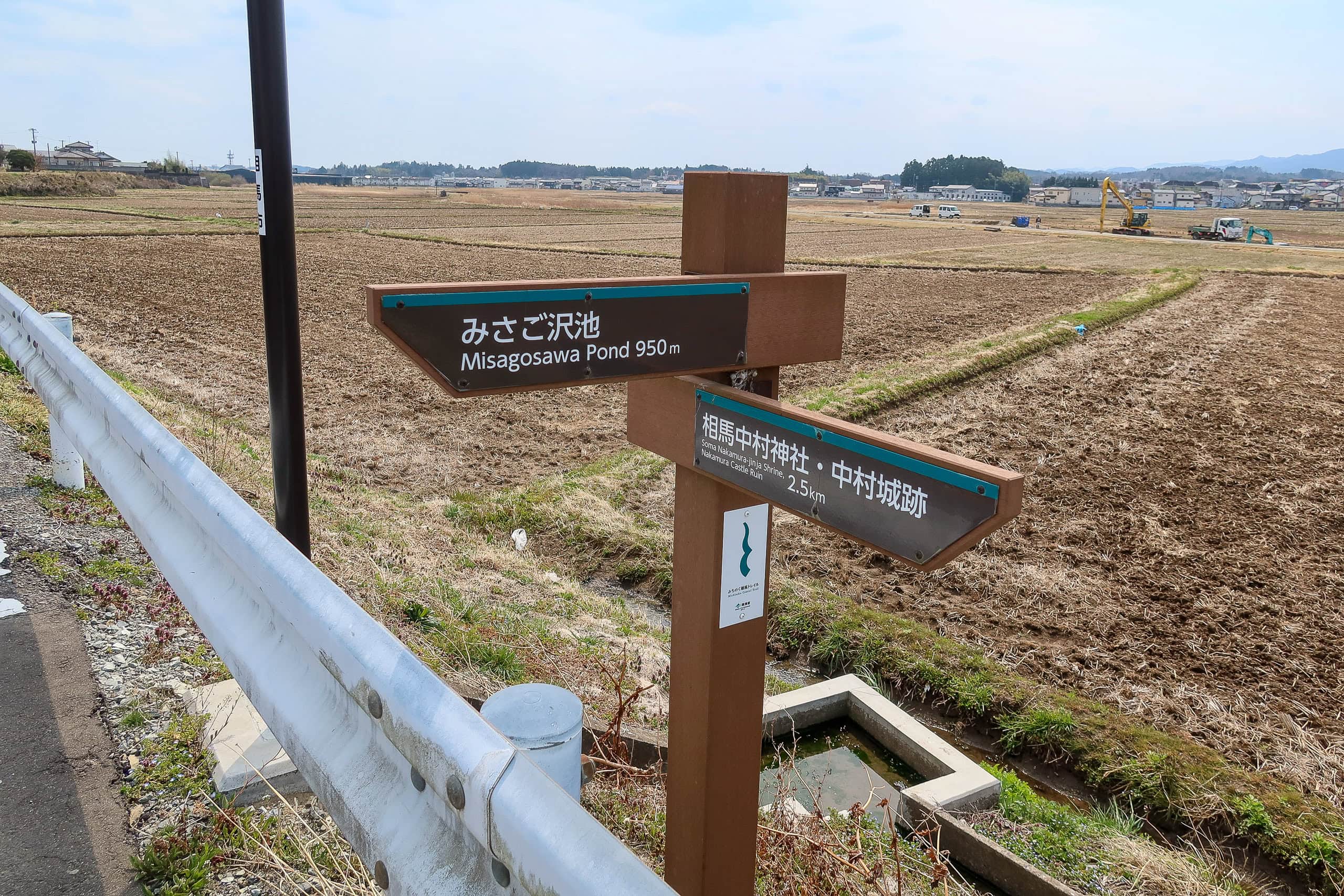
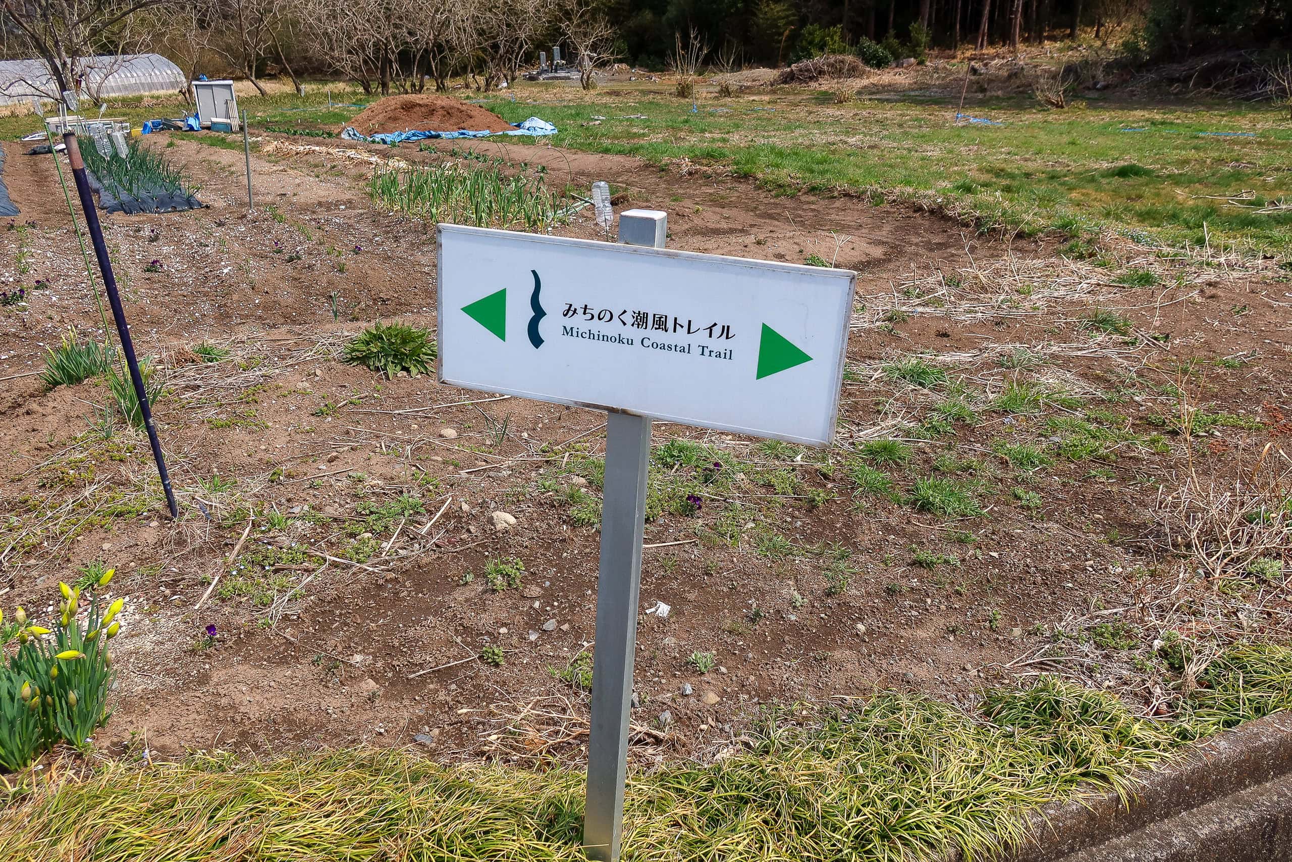
At the corner of the Nakamura Jinja shrine, along the wooden fence of the unpaved path we were walking, we finally spotted an official MCT trail sign with the logo — the first one since the southern terminus. To be honest, the lack of markers through the farmland and Soma city center had worried us a little about the consistency of MCT signage. But from here onward, trail signs appeared at every important corner, reassuring us that the way forward was clearly marked.
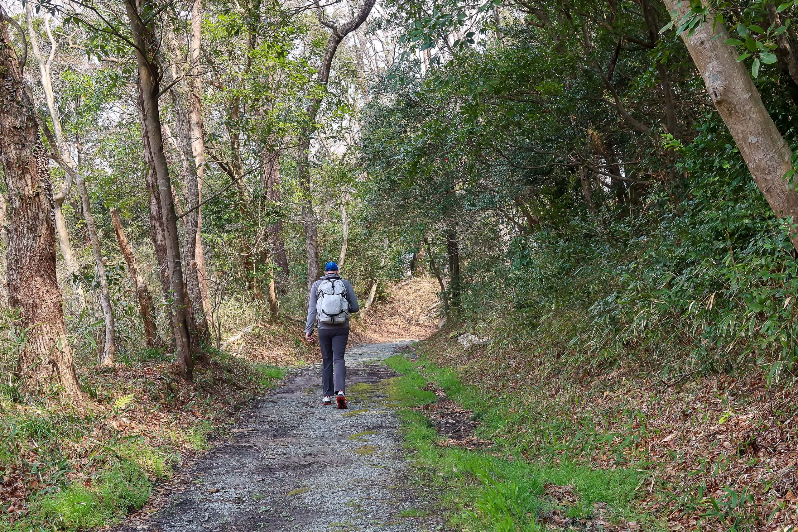
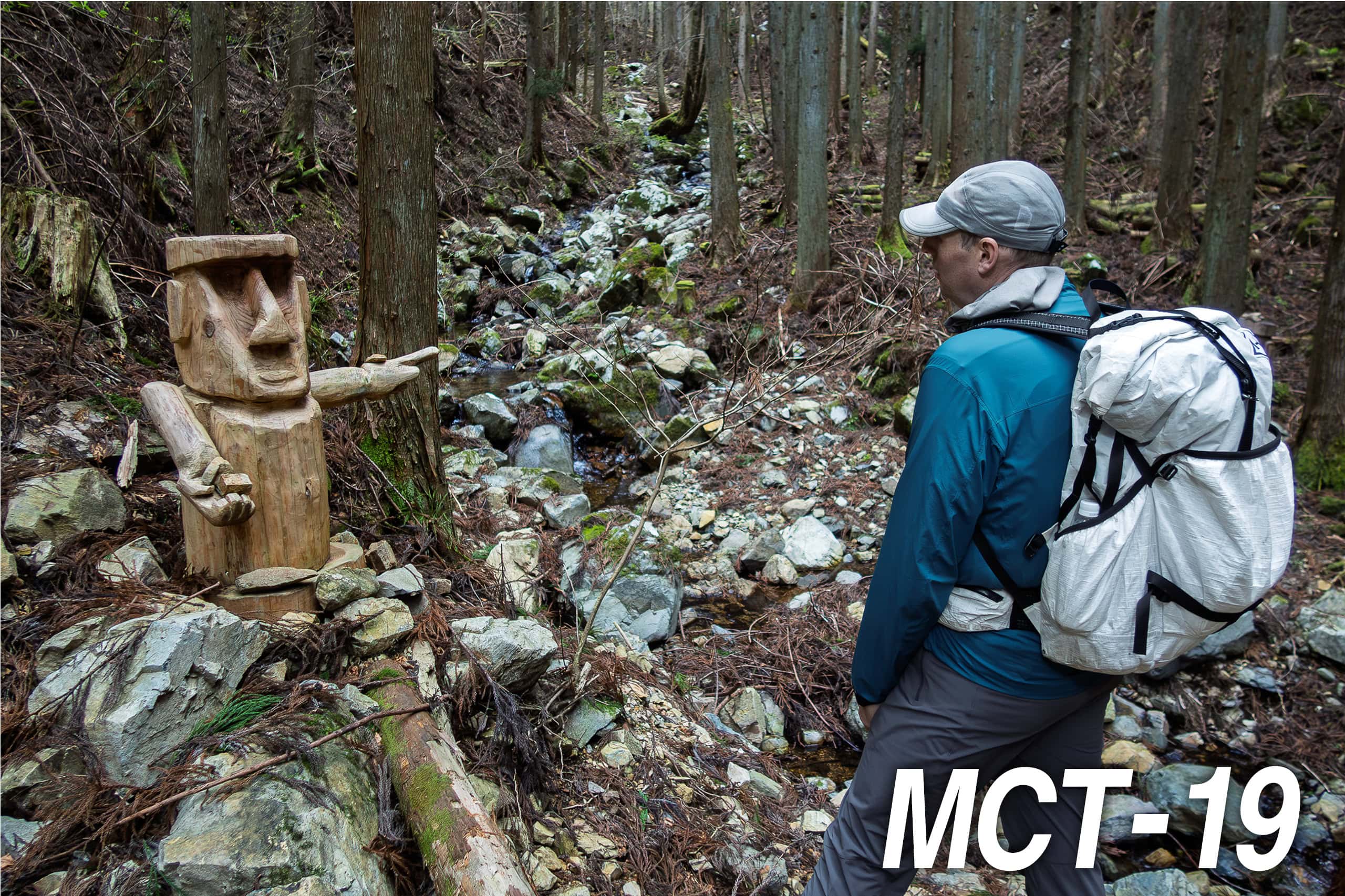
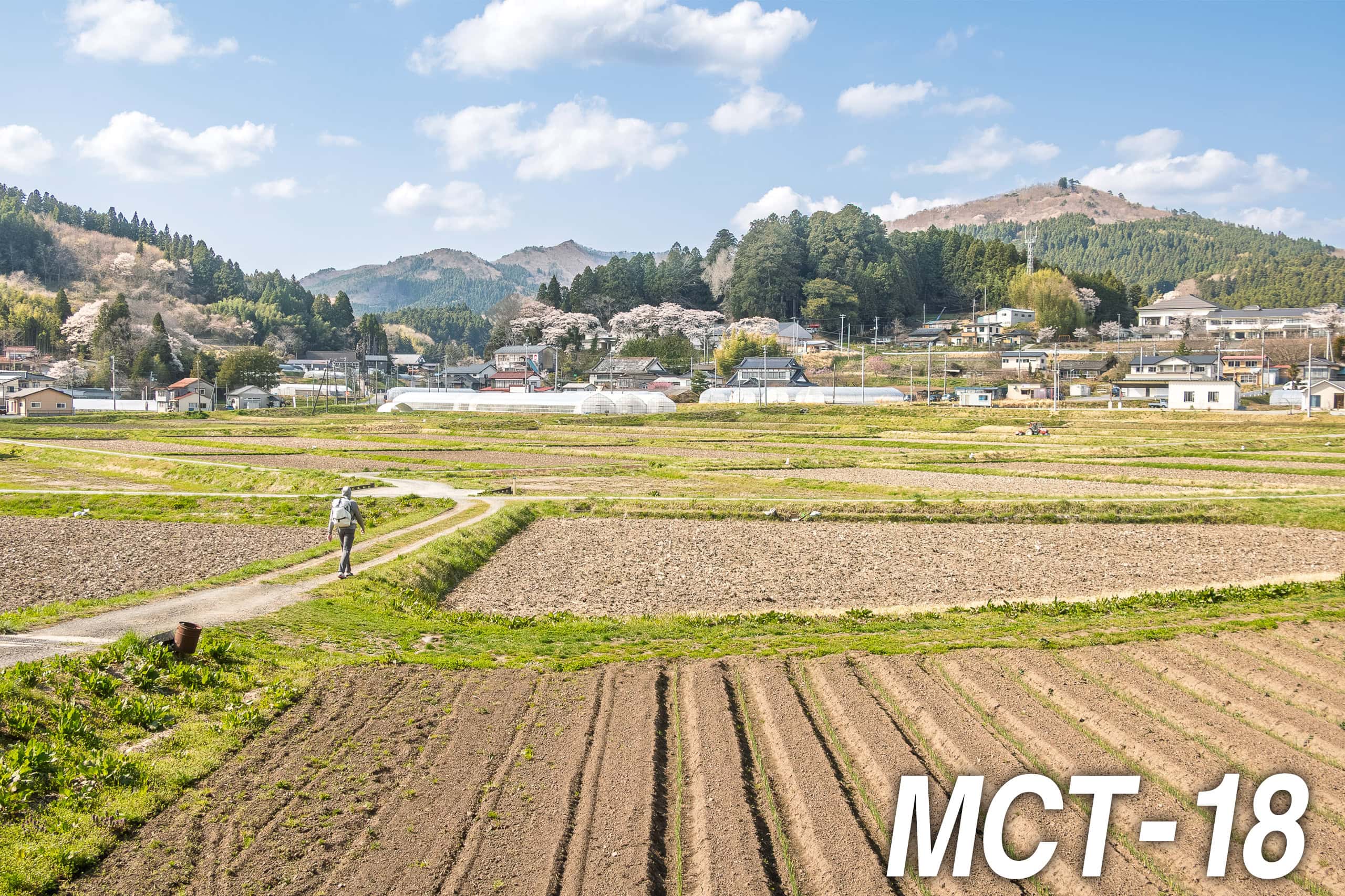
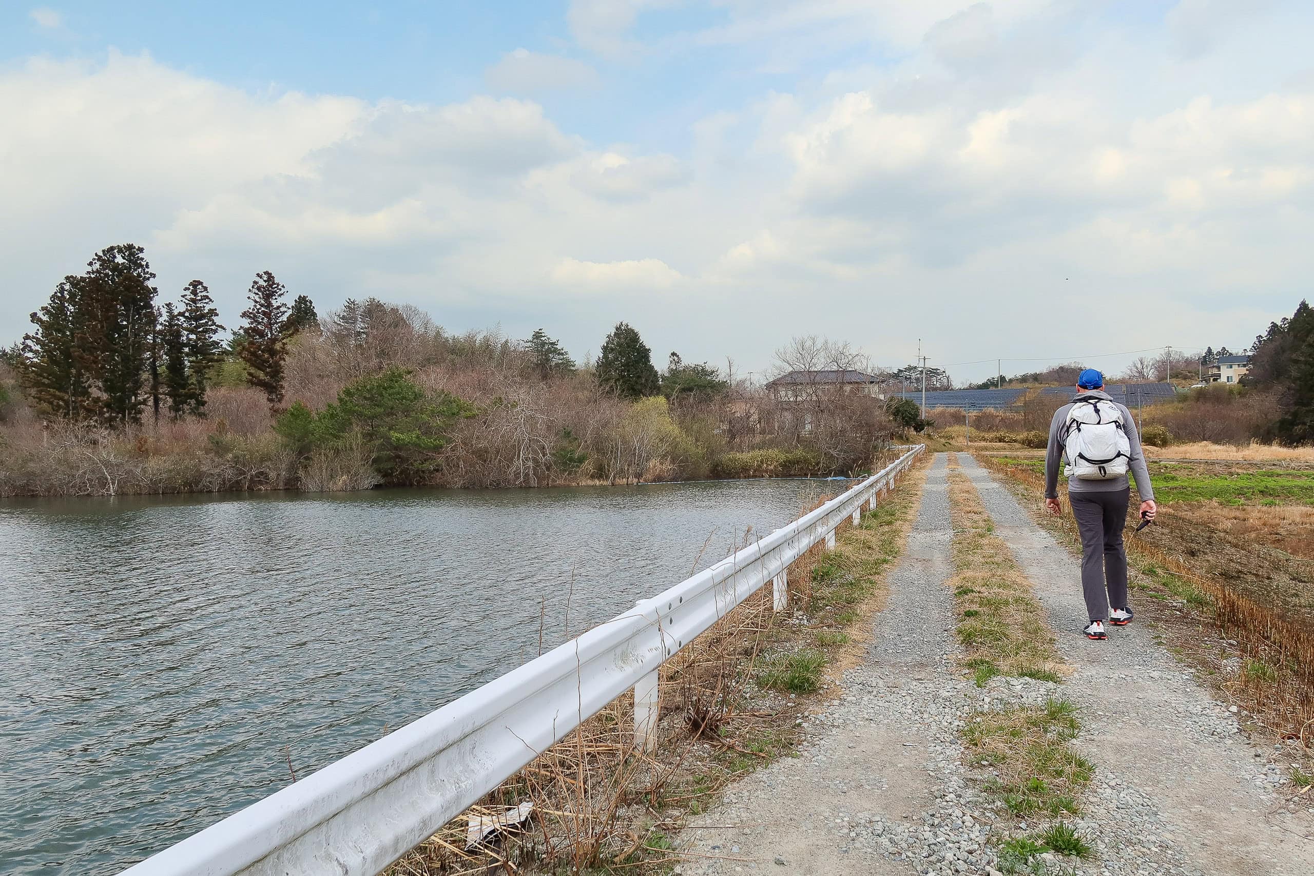
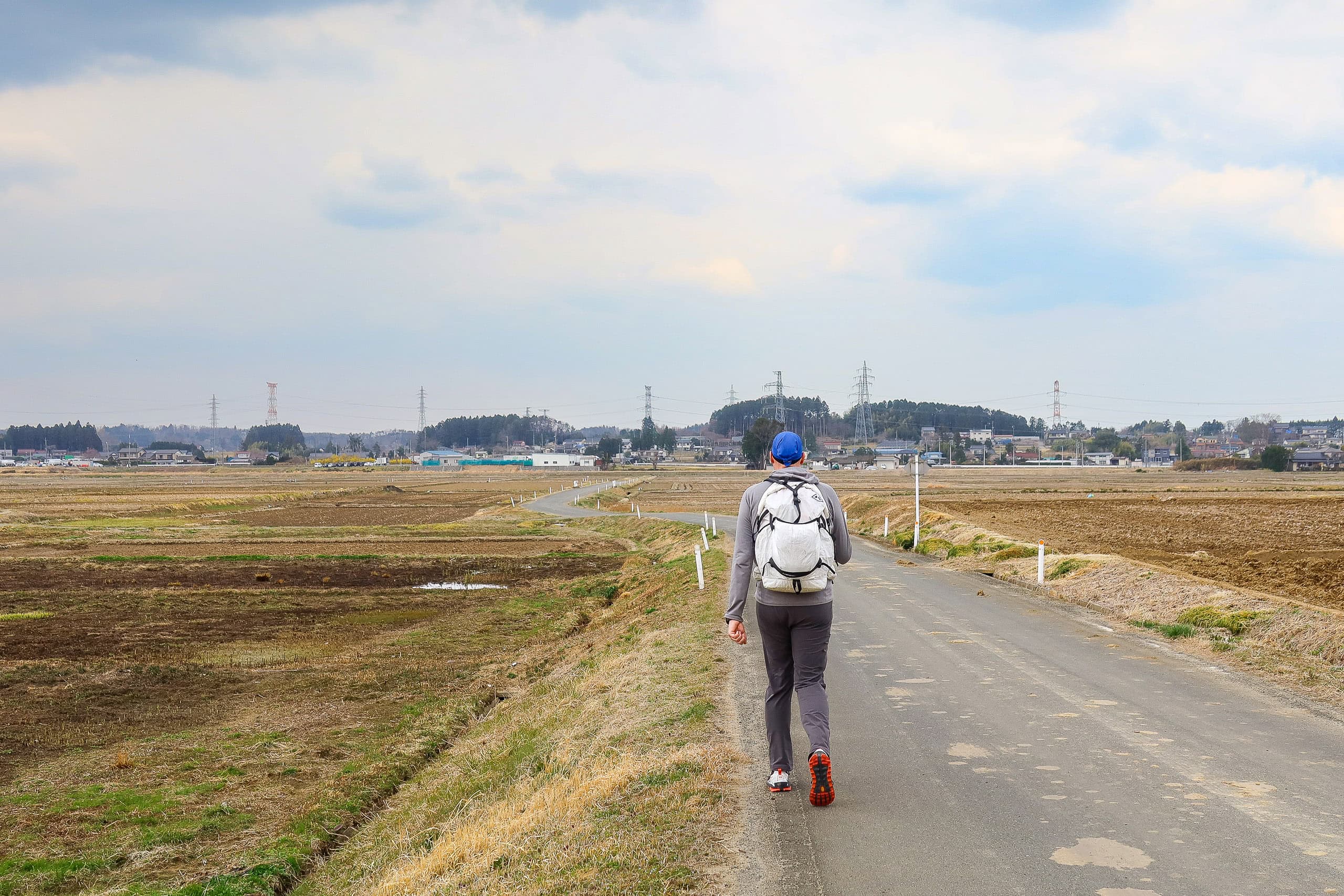
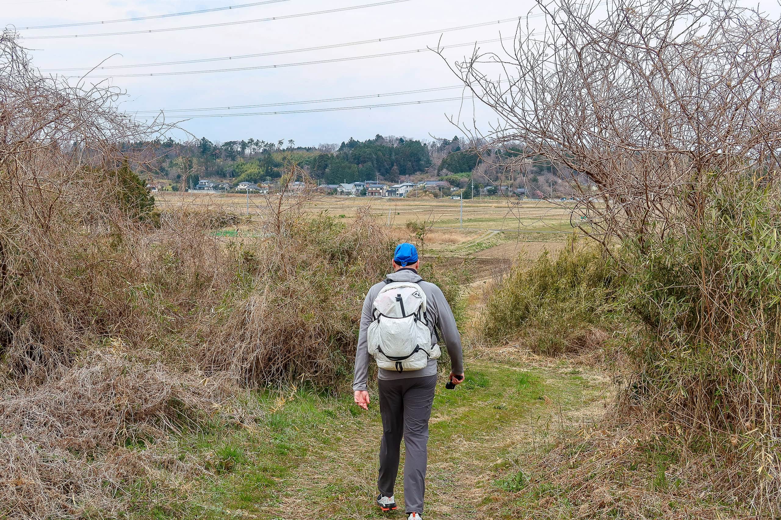
Through the Farmlands
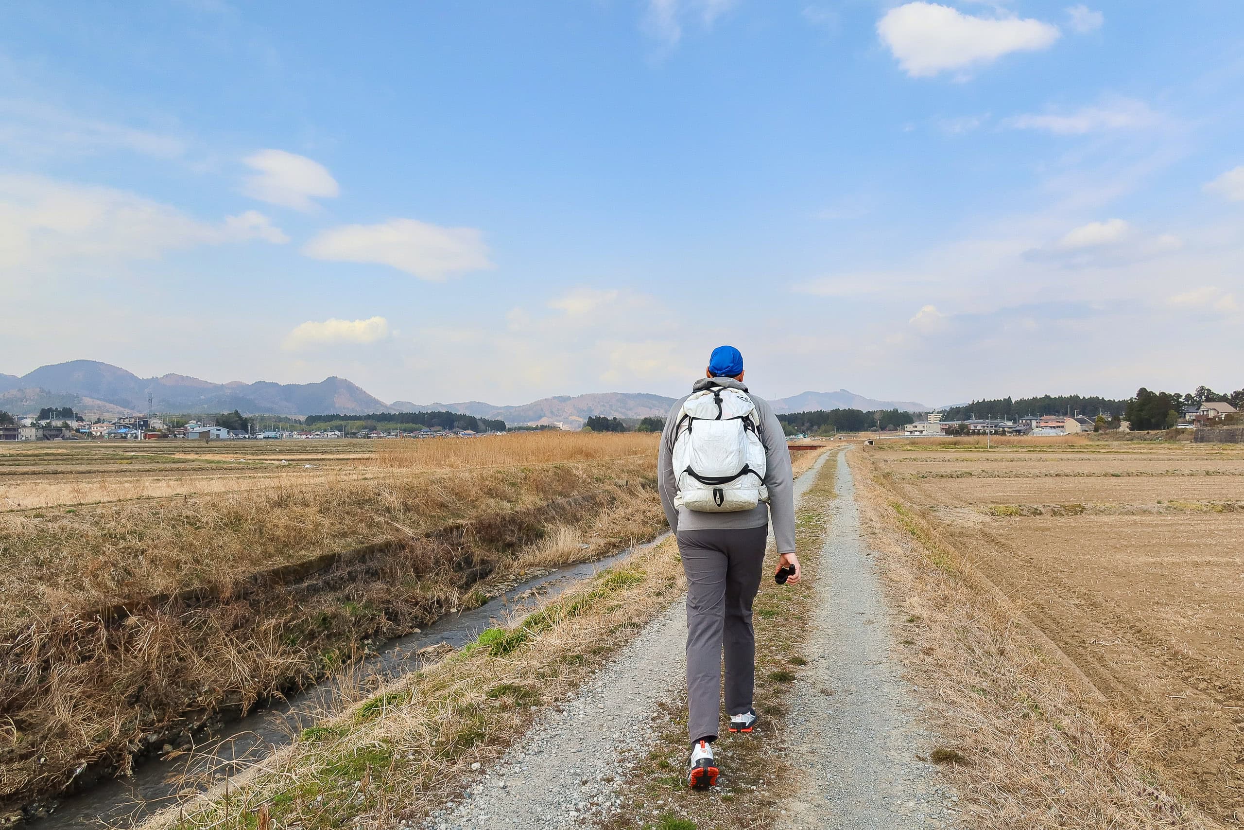
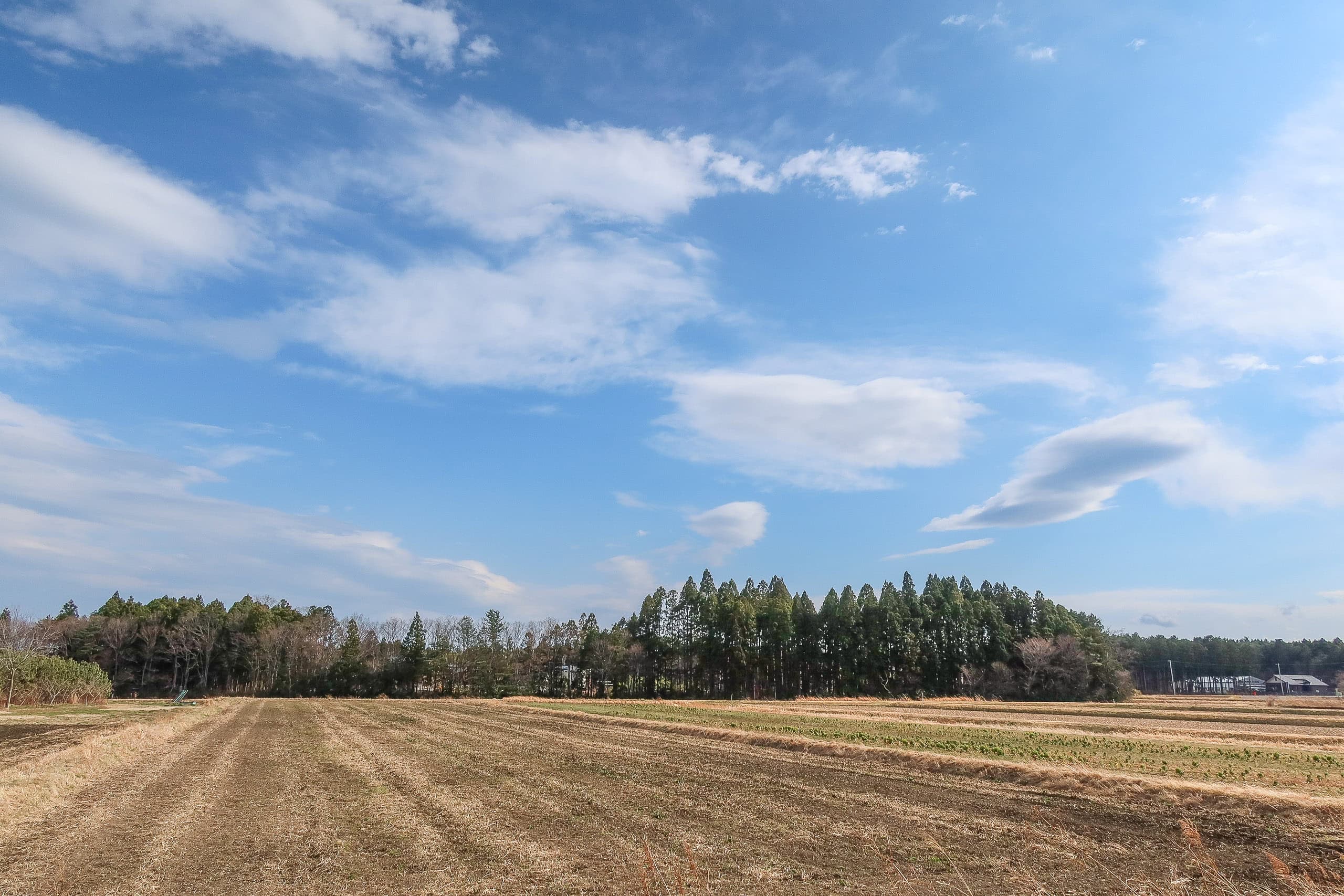
The busy streets of Soma City ended quickly, and soon we were walking along a small river in another agricultural zone. The area looked like the outskirts of any rural city: wide, open fields of dry, empty rice paddies, occasional vegetable plots, and scattered farming hamlets. After passing a cluster of big-box stores, we saw no shops at all.
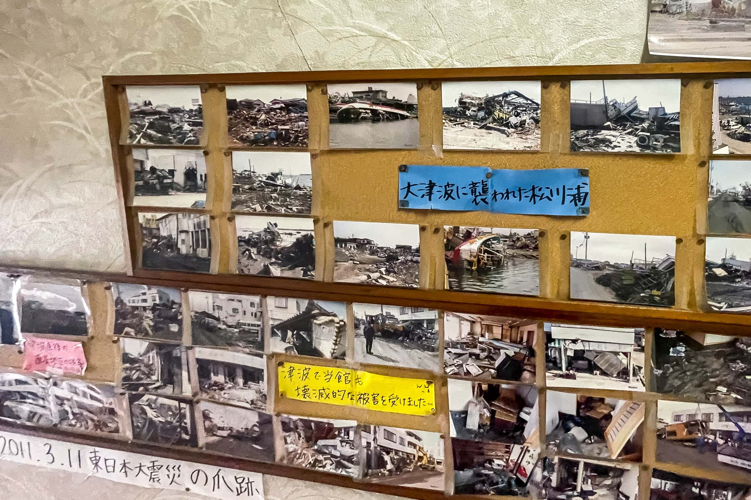
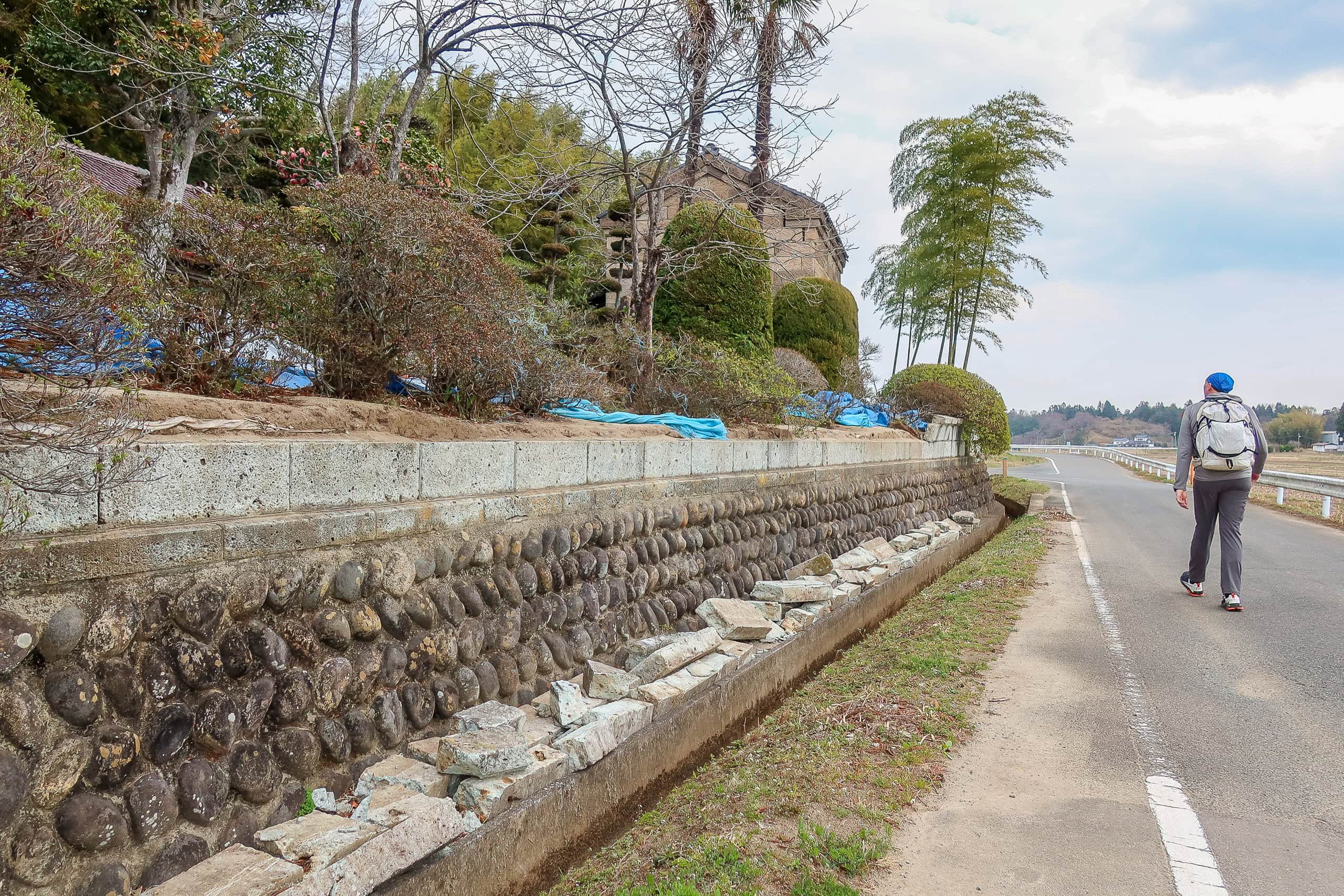
As we passed through hamlets between the fields, we noticed quite a few houses with blue construction sheets covering their roofs. Others had cracked walls, broken panes, or boarded-up windows. At roadside shrines dedicated to local guardian deities, old stone signposts and lanterns lay toppled and smashed.
All of this damage looked recent. It must have been caused by the two large earthquakes that had shaken Fukushima and Miyagi over the past 40 days.
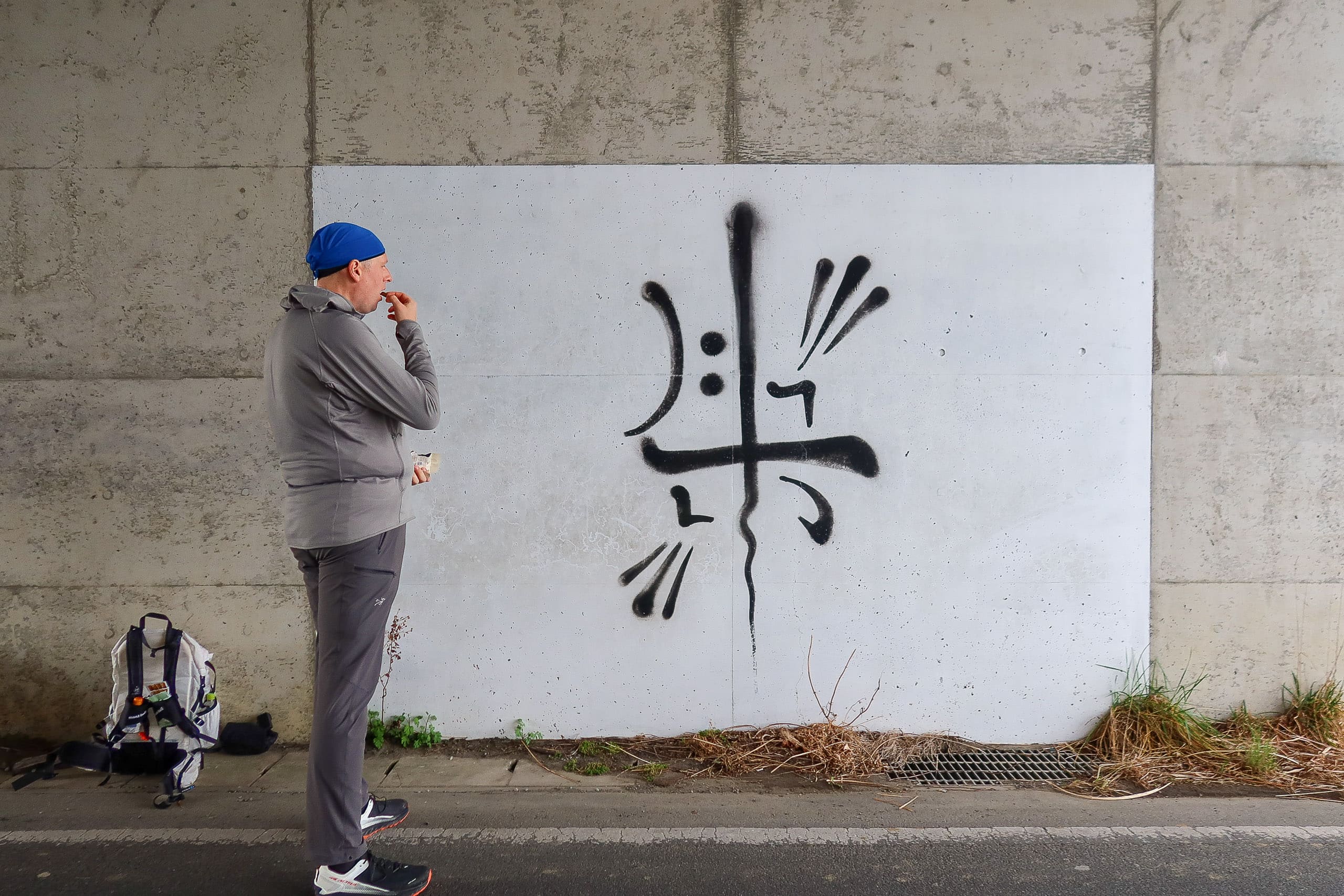
We hadn’t noticed that the bright blue spring sky had faded to a pale gray. Suddenly, a shower poured down. Fortunately, we were approaching a tunnel under Route 113, an elevated road.
We took shelter there, using the pause as a lunch break: loosening our shoulders from the weight of our packs and snacking on the bars and nuts we had bought at the first convenience store that morning.
We didn’t realize it at the time, but we were right on the border between Soma City and Shinchi Town 新地町.
The rain clouds moved on quickly. Fifteen minutes later, we hoisted our packs again and stepped into the second municipality along the MCT.
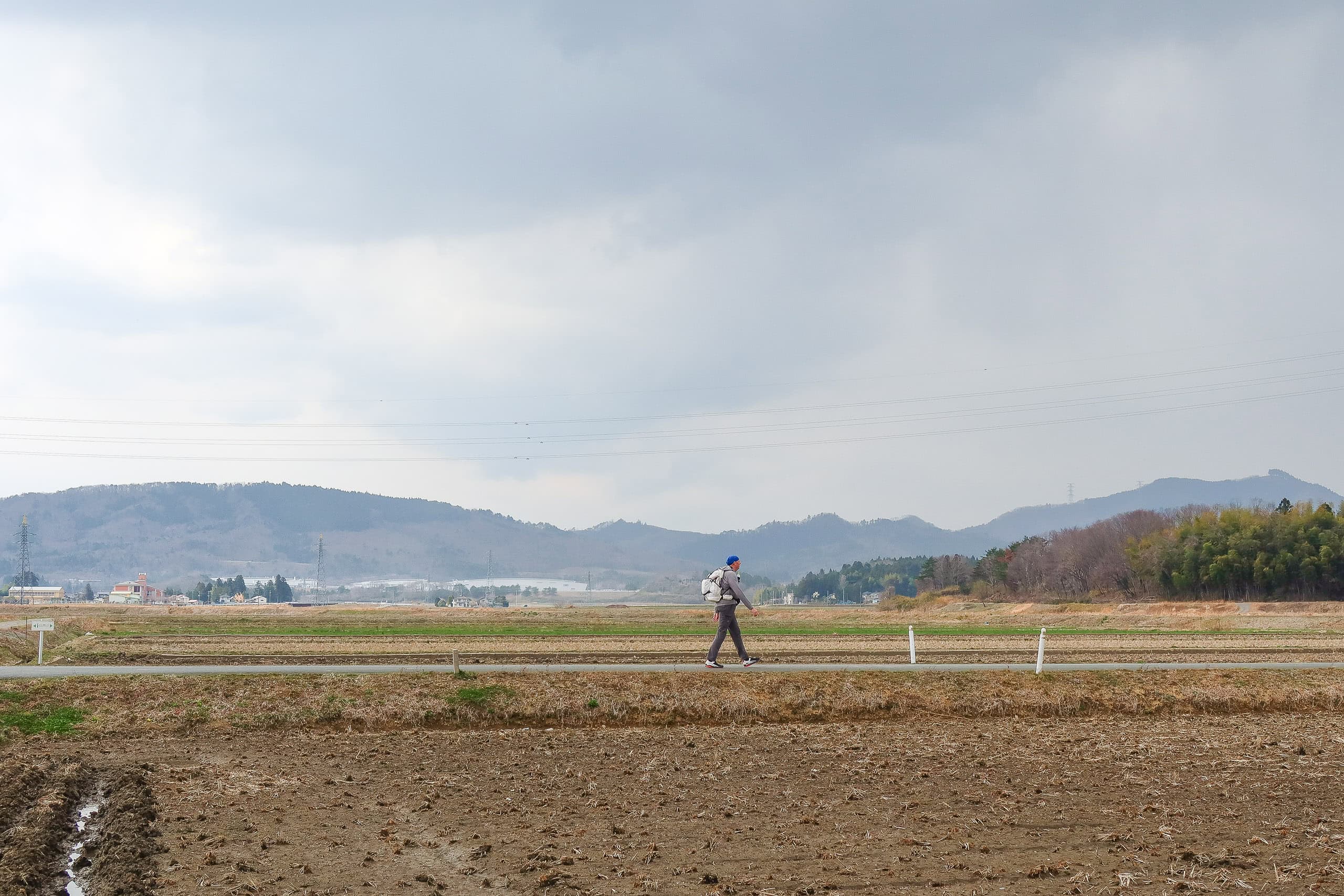
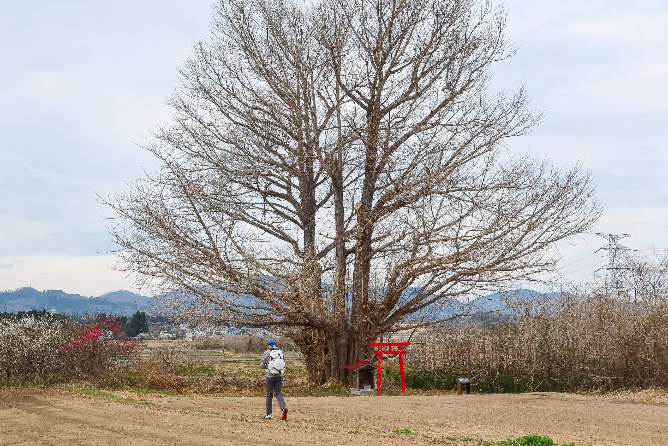
A massive, leafless ginkgo tree 白幡のいちょうstood alone at the corner of a bare field of pre-cultivation paddies, as if to welcome us.
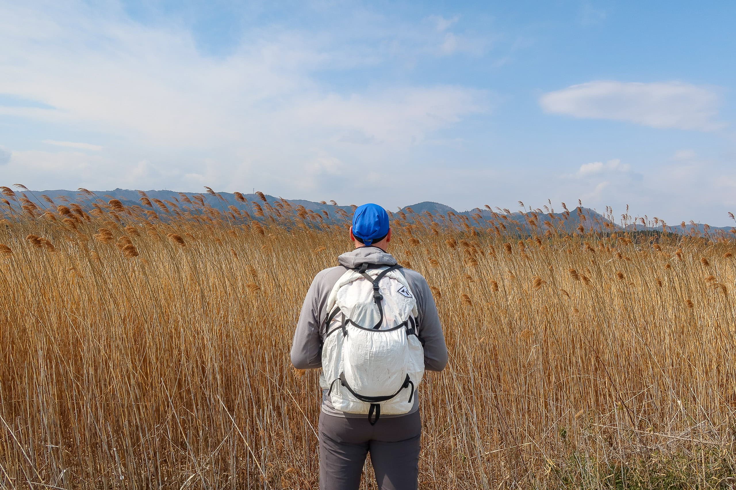
Beyond that, the landscape returned to the same endless agricultural flats.
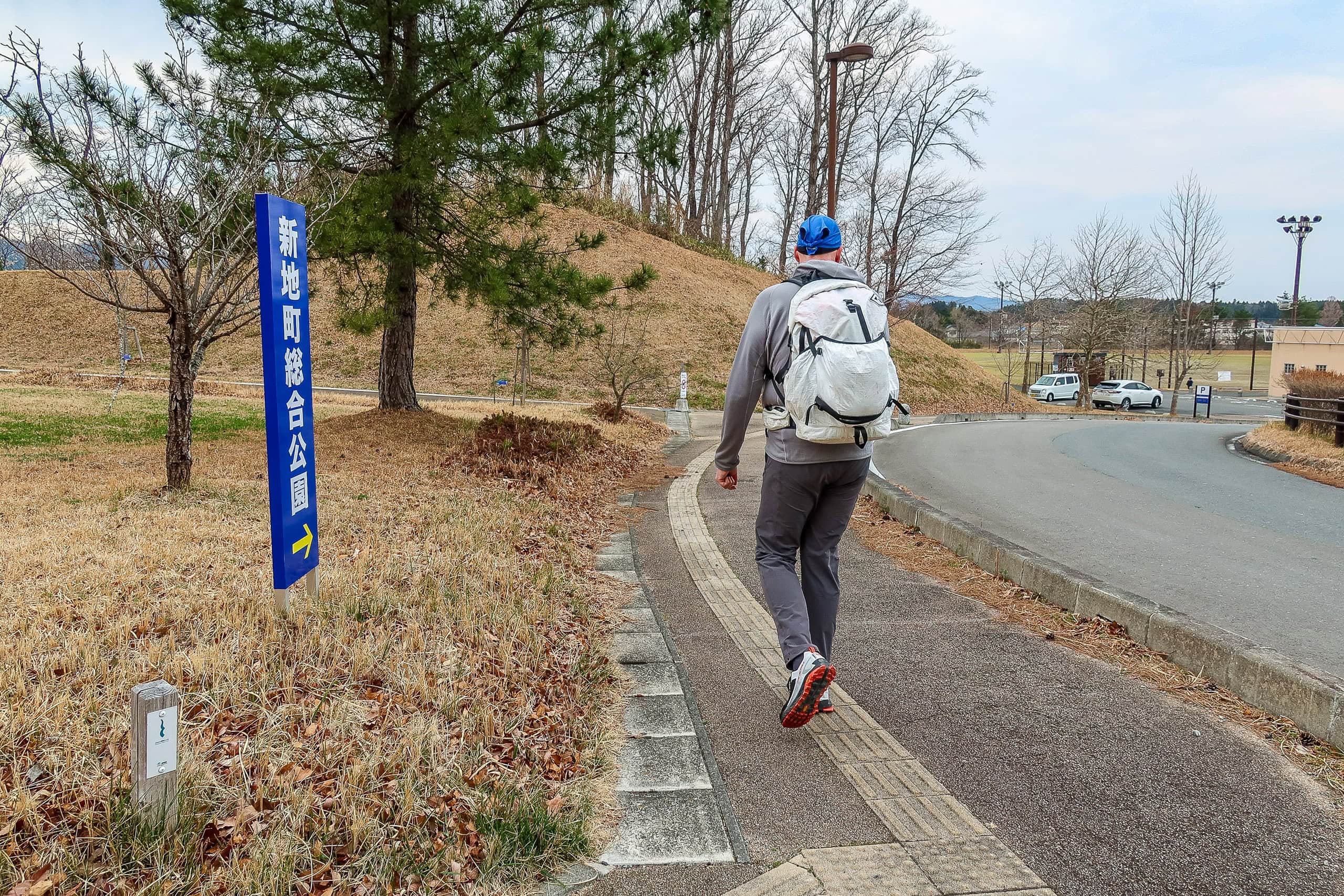
At Shinchi General Sports Park 新地町総合公園, we stopped to use the public bathroom and check in with our bodies.
Our original plan for the day had been to finish at the next convenience store after the park. That store sits just 2 km from Shinchi Station, where the MCT makes a sharp turn away from the train line and heads into more rural areas around the mountains.
From the MCT’s southern terminus to that store is about 22 km. That’s not short for a first day, but it seemed reasonable. Still, if we could manage another 5 km to reach the trailhead of Mt. Karou 鹿狼山, it would make tomorrow’s hike easier.

If we had been able to book a hot spring inn near the trailhead, we would have gone straight there without hesitation. Unfortunately, when we called a few days earlier, it was already full.
A possible solution had come to us the previous night during our taxi ride from Soma Station to Isamiya Ryokan. The driver told us that local day hikers often asked to be picked up at the Mt. Karou trailhead for a ride back to the station. “It’s no problem at all,” he said, handing us his taxi company’s card.
So our plan was simple: walk at least to the convenience store, see how we felt, and then decide whether to stop there or push on to the trailhead.
A Stumble Before the Trailhead
We reached the convenience store still feeling motivated, with no foot pain. Everything was fine… well, not quite.
Just a few meters before the store, I stumbled on a roadside step and fell flat on my face. Poor Erik’s heart nearly stopped as he witnessed the whole thing. While he helped me wash my face and hands in the store’s bathroom, he admitted it felt like his life had been shortened.
My palms ended up with a few small scratches, and my lips swelled up for a couple of days — but thankfully, nothing serious was hurt, and I didn’t feel discouraged at all.
Erik was still hesitant about continuing, clearly worried, but I insisted I was fine and wanted to keep walking.
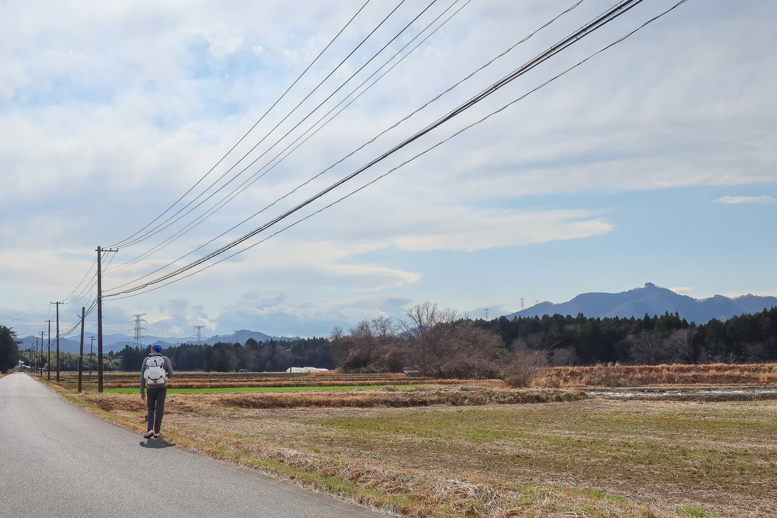
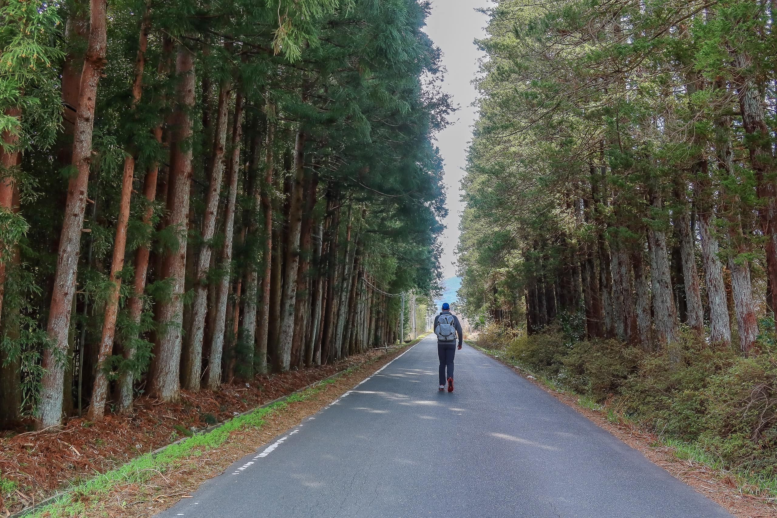
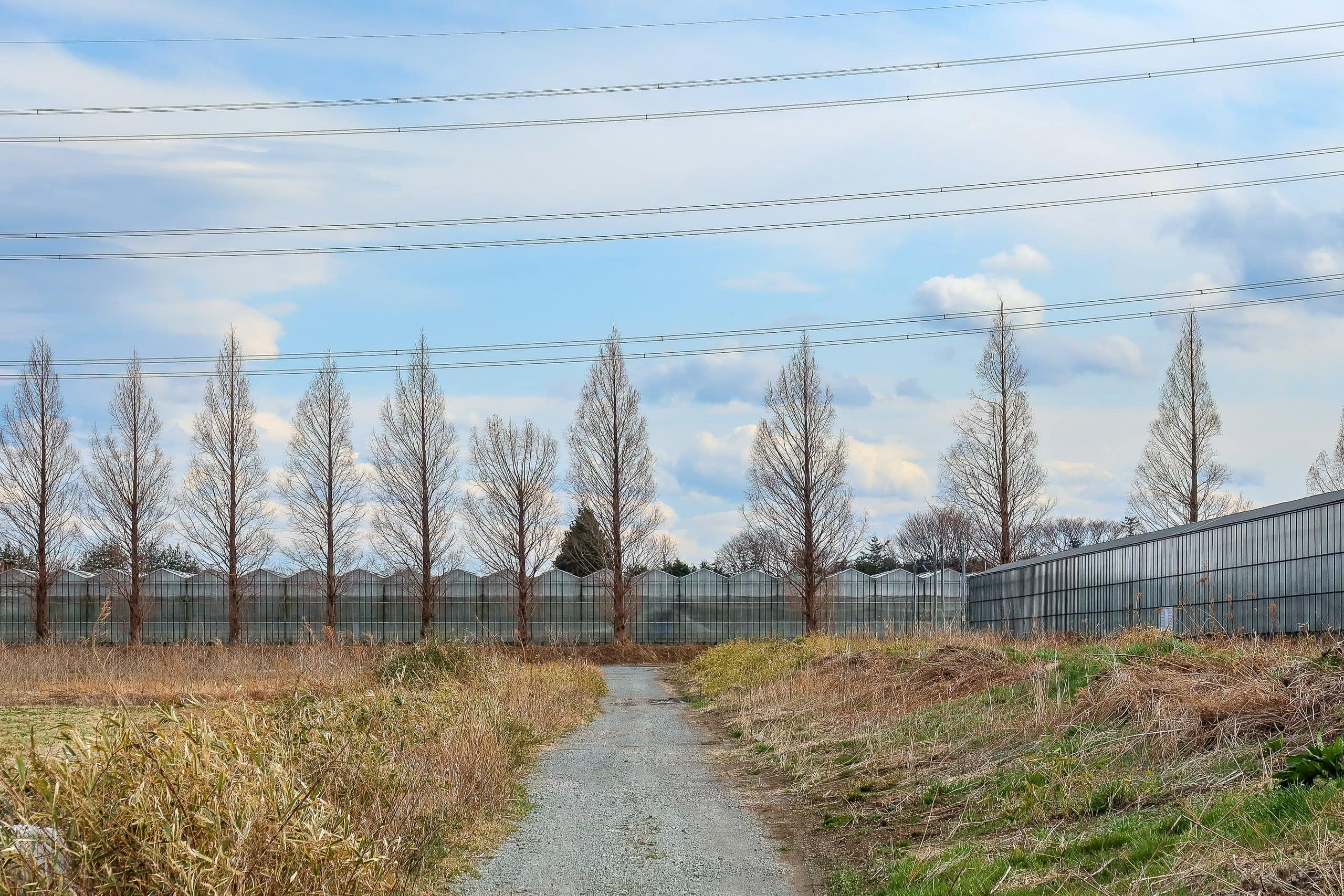
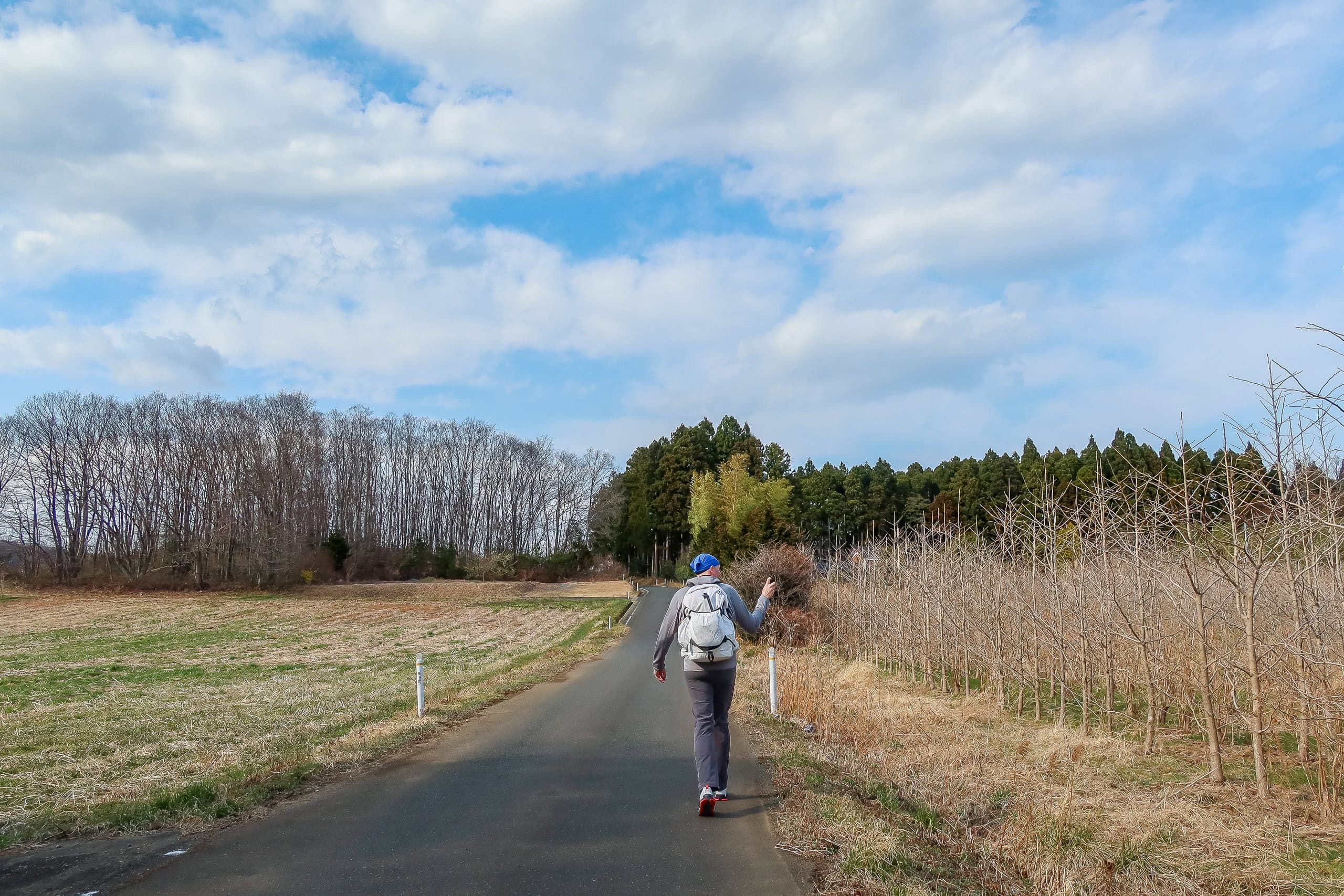
Leaving the store, we headed west toward the Mt. Karou 鹿狼山 trailhead. The scenery quickly turned more rural. The wind blew across flat, open farmlands lined with tall cedar windbreaks and dense belts of bamboo. Along the perfectly straight road stood a large glass greenhouse. Erik remarked that the landscape reminded him of his home country, the Netherlands.
As we drew closer to the mountains, we passed farmlands planted with rows of identical, slender trees. Since they had no spring leaves yet, we had no idea what kind of trees they were — perhaps saplings grown for gardening, which seemed common in this area.
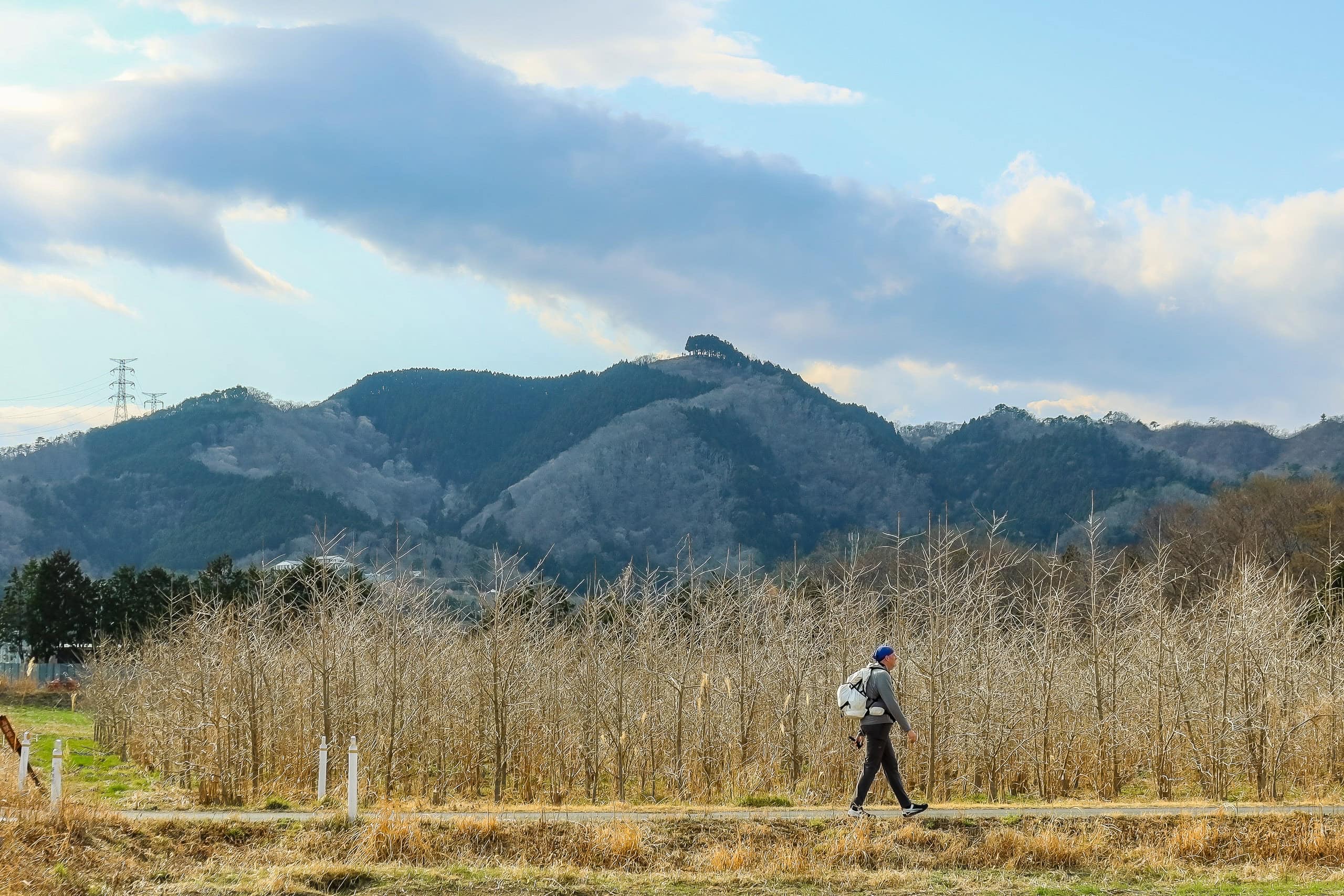
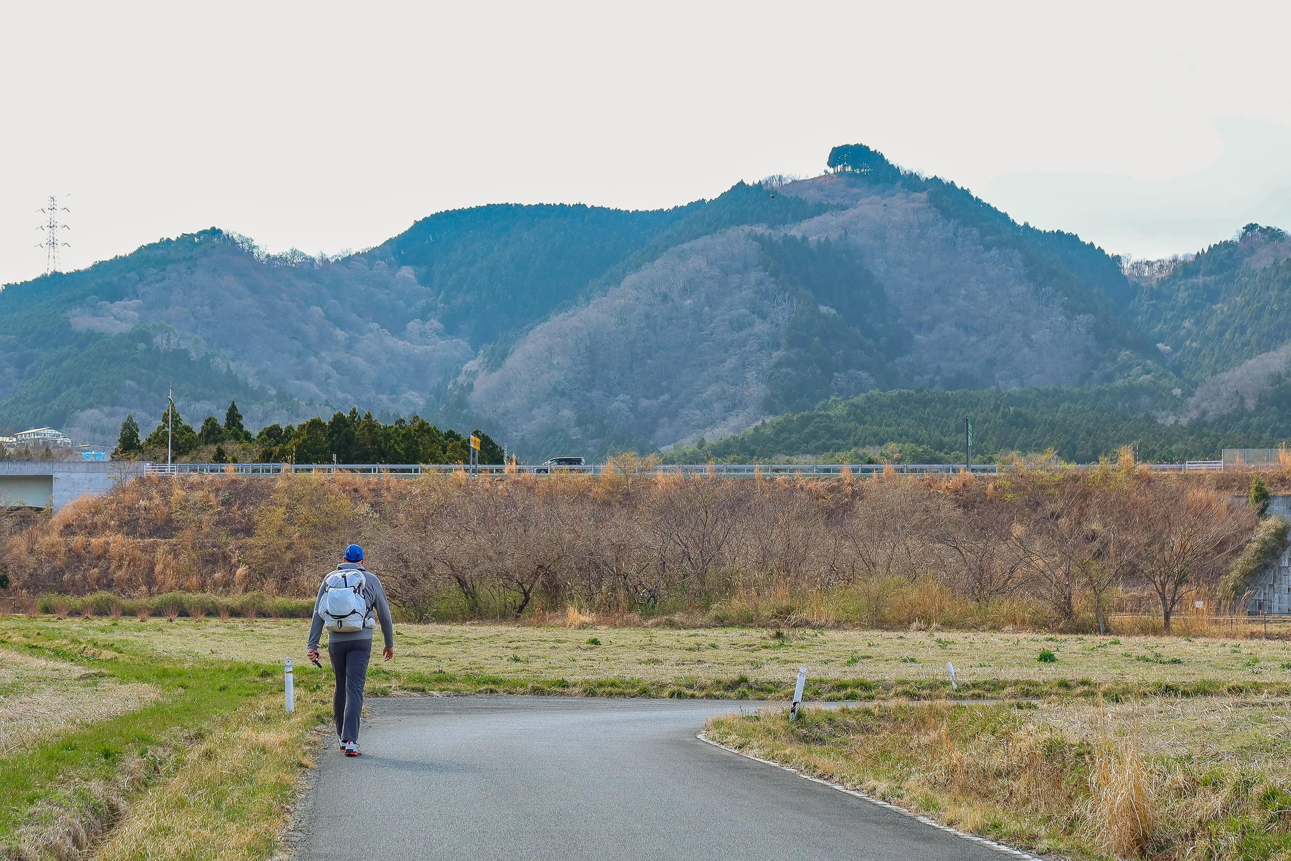
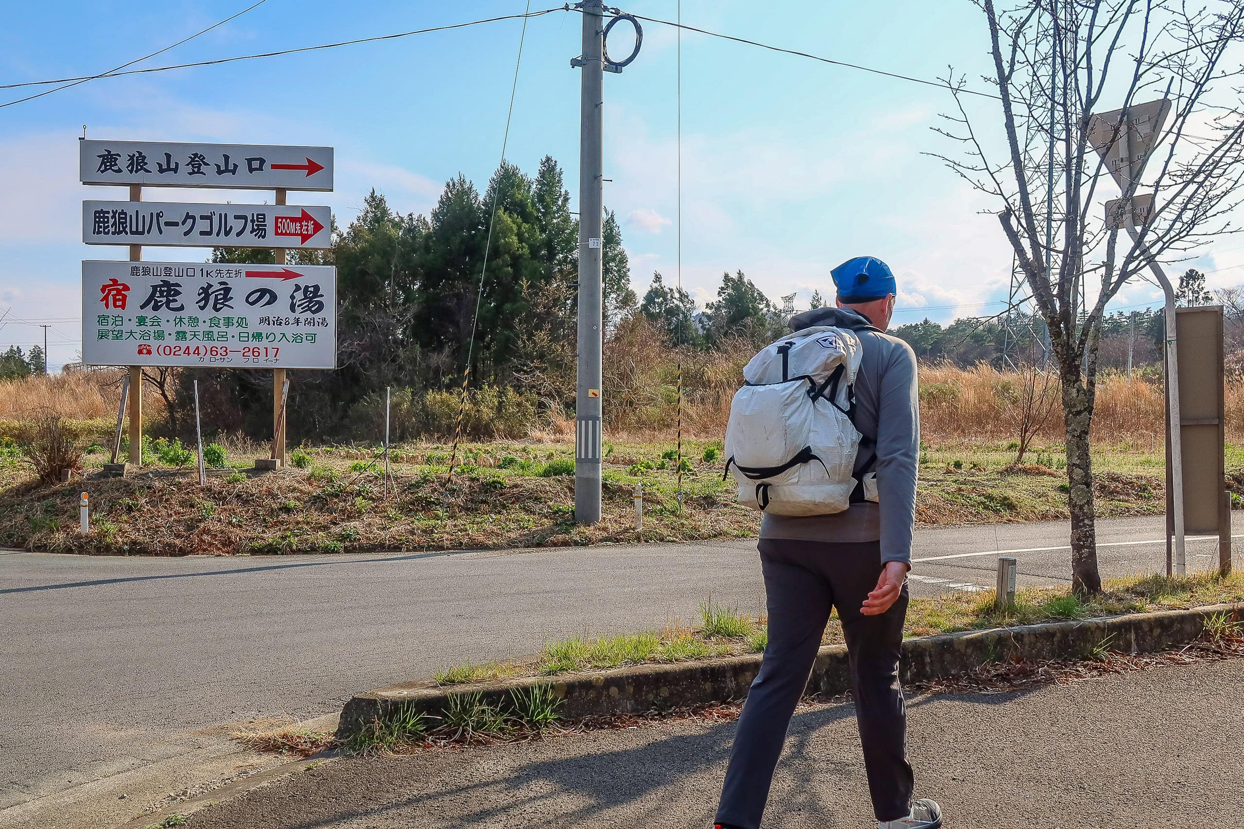
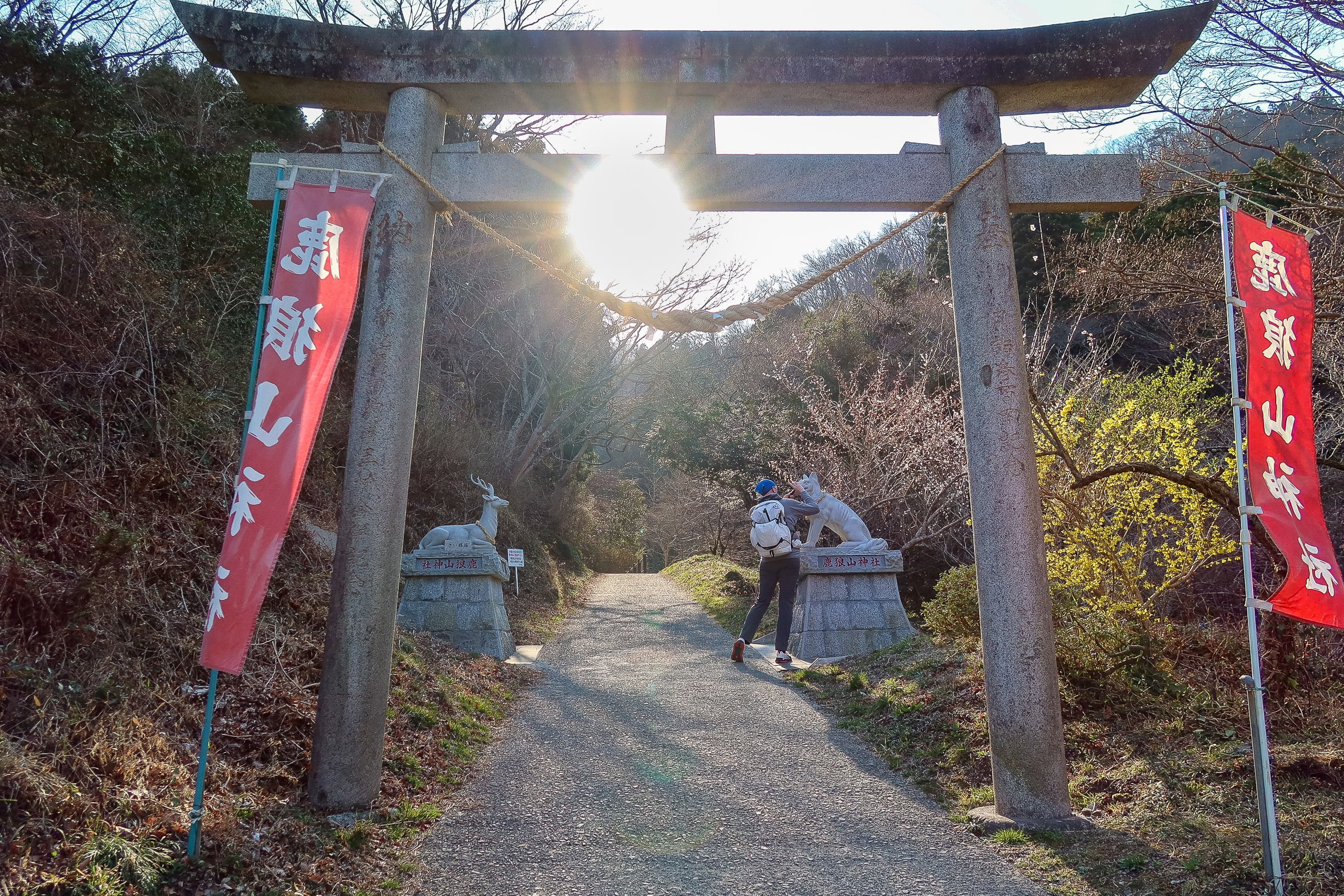
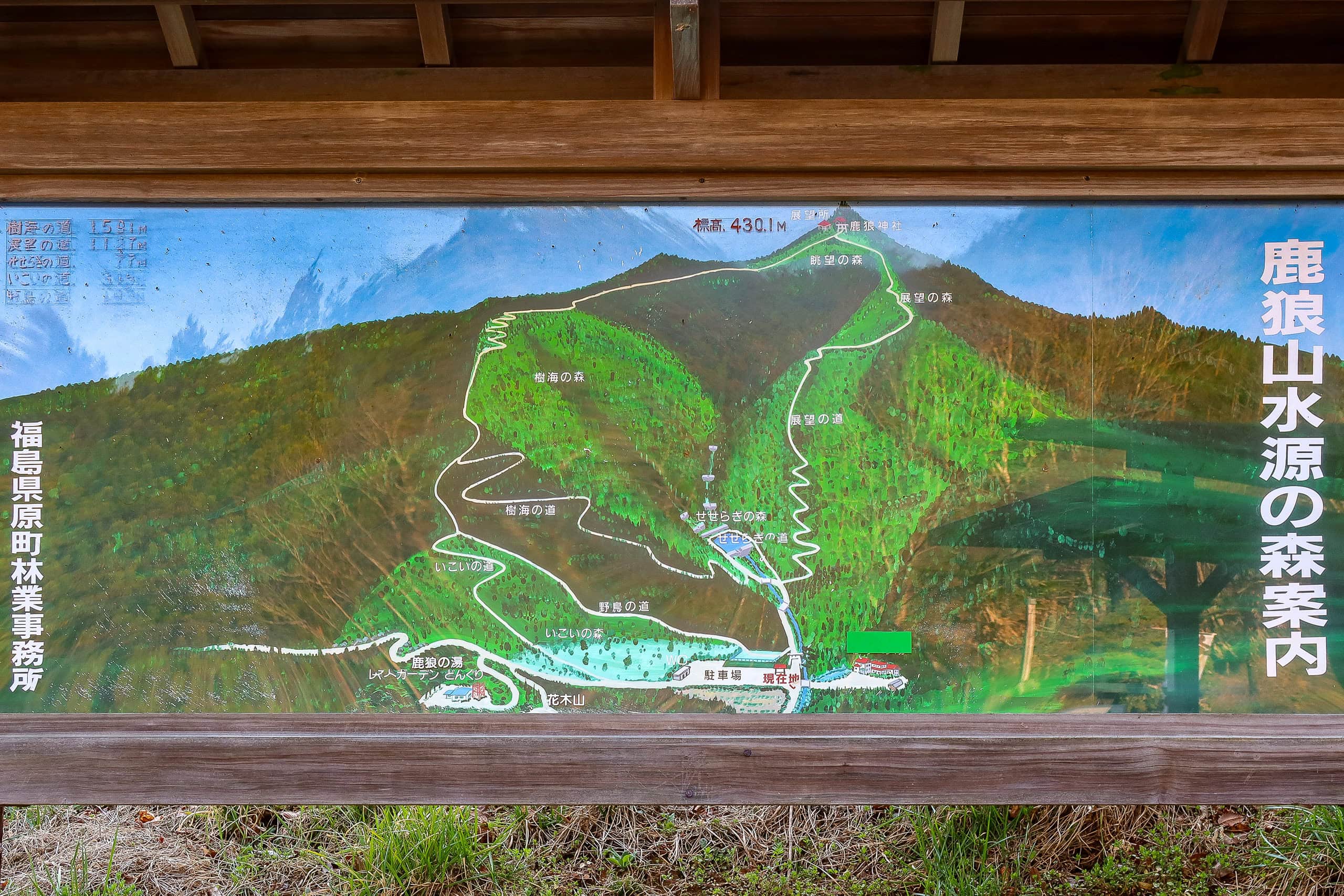
We reached the Mt. Karou trailhead around 3:30 p.m.
After scouting the trailhead to see what we would need the next morning, we called the taxi company. The car arrived in less than 20 minutes. As is often the case in rural Japan, the driver was an older gentleman, probably in his mid-70s, who knew the area inside and out.
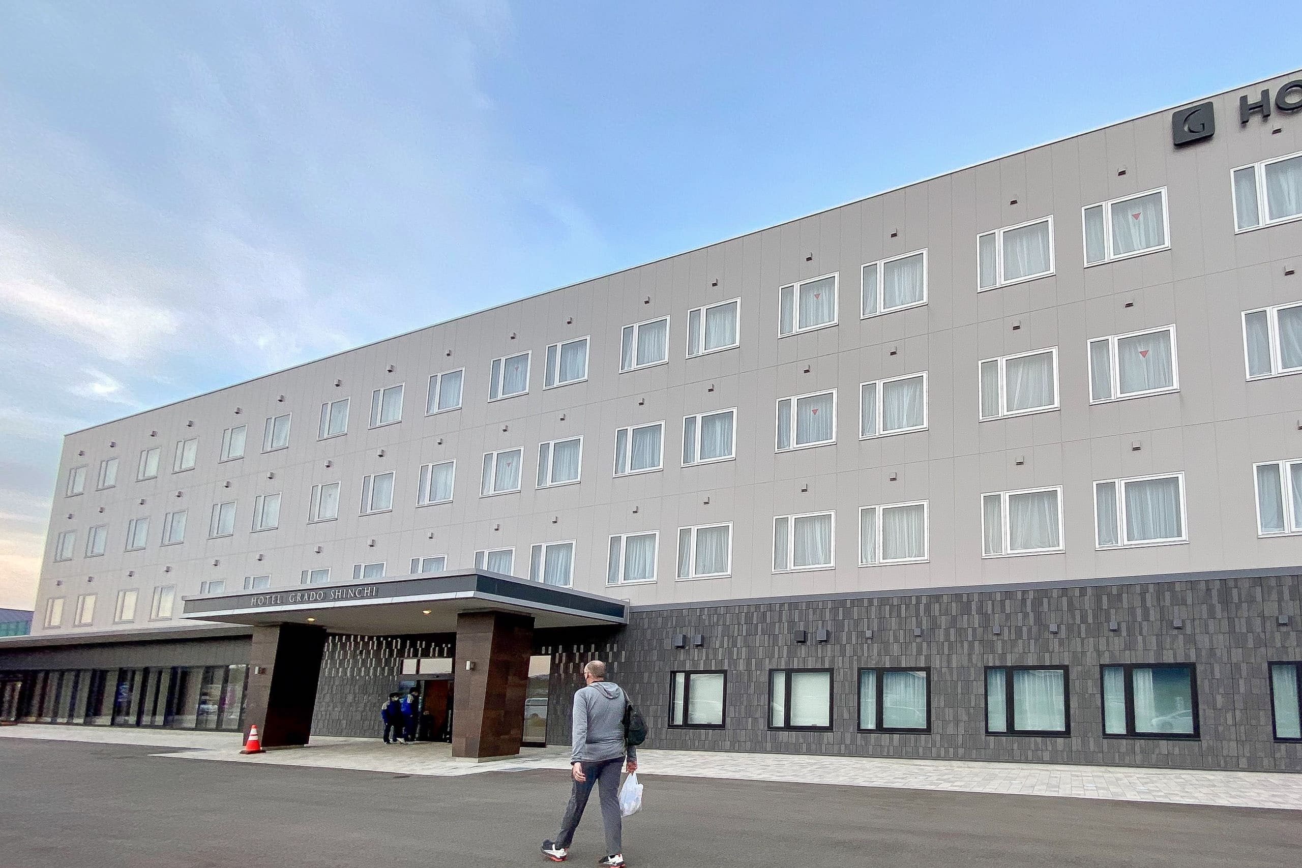
Hotel Grado Shinchi
Because the hot spring inn Karou-no-yu 鹿狼の湯 was booked out for the night, we needed to find an alternative.
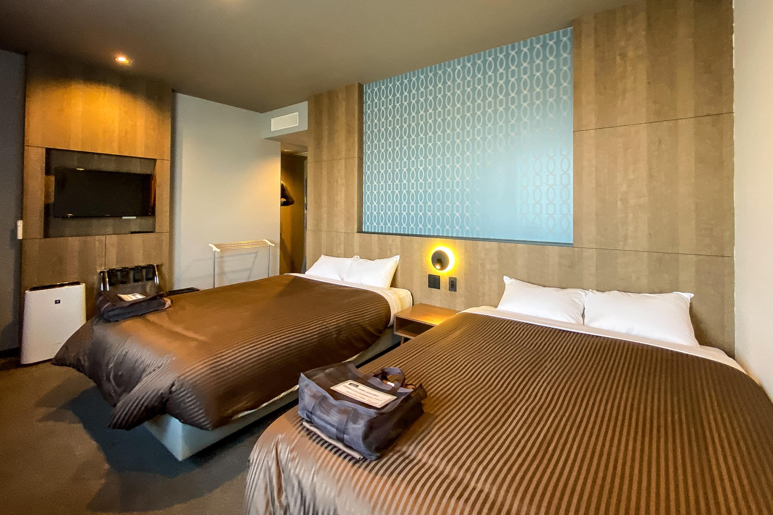
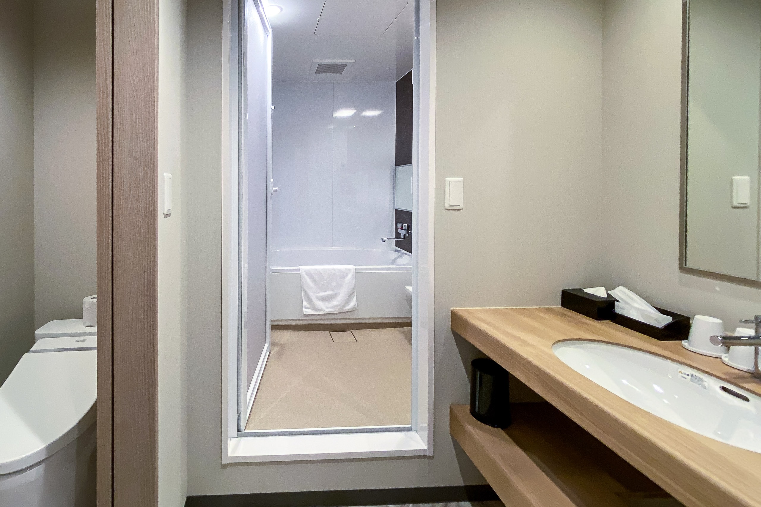
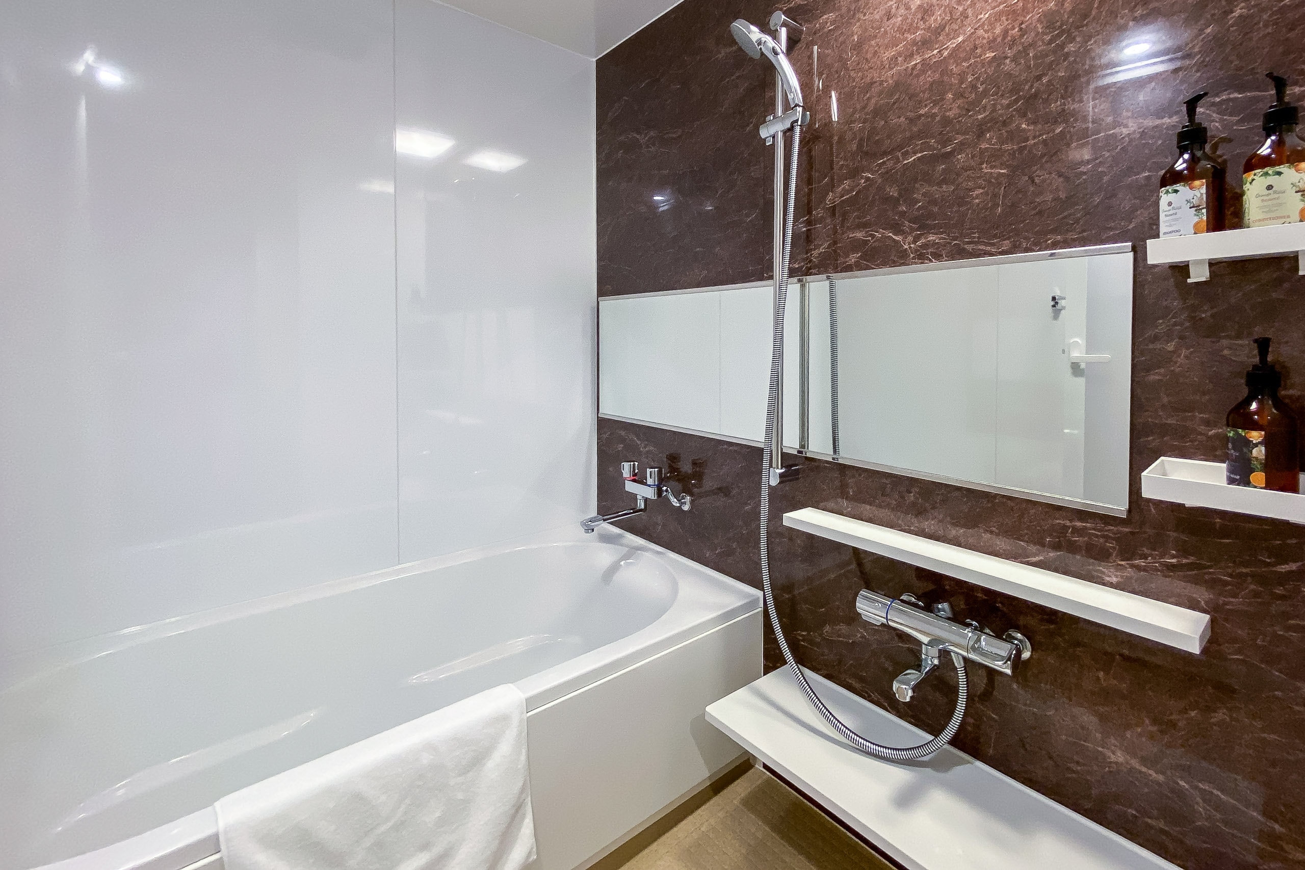
We hadn’t seen any other accommodations along the route for today and tomorrow, but we did find a newly built business hotel called Hotel Grado Shinchi ホテルグラード新地 right in front of Shinchi Station. It even had a restaurant and a large public hot spring bath (Onsen 温泉)!
We booked a room there for two nights. The biggest advantage of staying multiple nights in one hotel is that we can leave unnecessary gear in our room and hike with lighter packs.
Our plan for tomorrow was simple: take a taxi back to the Mt. Karou trailhead in the morning, hike north to another train station, and return to the hotel by train.
Although Hotel Grado had a casual restaurant inside, we decided to save it for tomorrow’s dinner. Since there were no grocery or convenience stores near Shinchi Station, we asked our taxi driver to stop at one on the way to the hotel and wait while we quickly stocked up on food and snacks.
By reaching the Mt. Karou trailhead, we had completed the first 28 kilometers of the MCT, including the extra 1.2 km from Isamiya Ryokan to the southern terminus.
We felt no pain in our feet, hips, or backs — not while walking, and not while relaxing later in our hotel room.
Strong winds had blown against us all day, but thanks to the mild spring weather and comfortable temperatures, our first day on the MCT thru-hike still felt perfect.
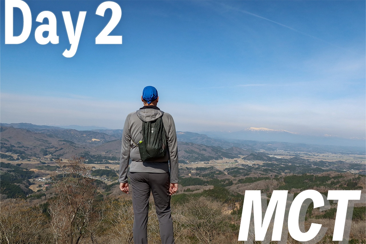
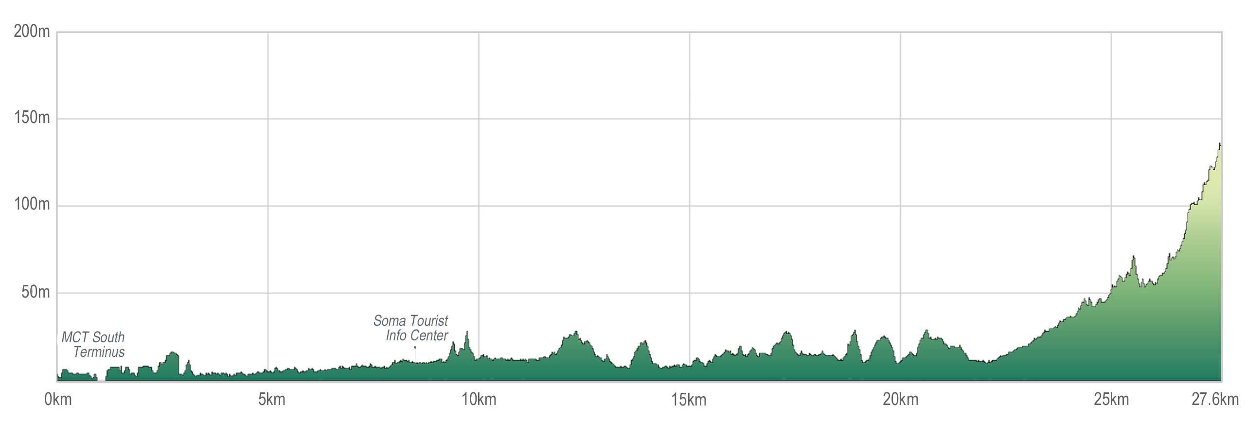
MCT – Day 1
| Start | MCT South Terminus |
| Distance | 27.6km |
| Elevation Gain/Loss | 231m/96m |
| Finish | Mt. Karo Trailhead |
| Time | 7h 40m |
| Highest/Lowest Altitude | 139m/ 0m |
Route Data
The Michinoku Coastal Trail Thru-hike : Late March – Mid-May 2021
- The first and most reliable information source about MCT is the official website
- For updates on detours, route changes, and trail closures on the MCT route
- Get the MCT Official Hiking Map Books
- Download the route GPS data provided by MCT Trail Club
- MCT hiking challengers/alumni registration