
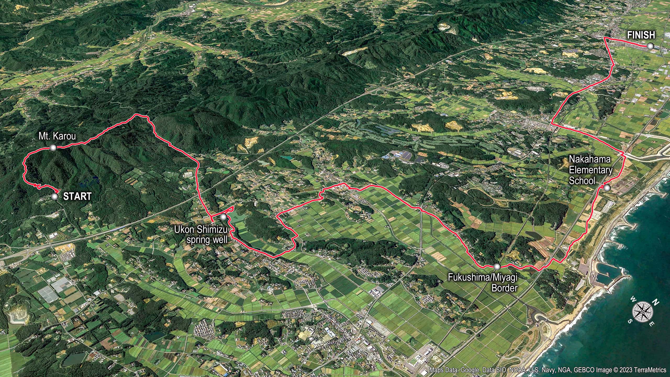

Mt. Karou
Last night’s forecast said “mostly cloudy with occasional rain,” which worried us — Day 2 of our the Michinoku Coastal Trail (MCT) thru-hike would be our first decent mountain trail.
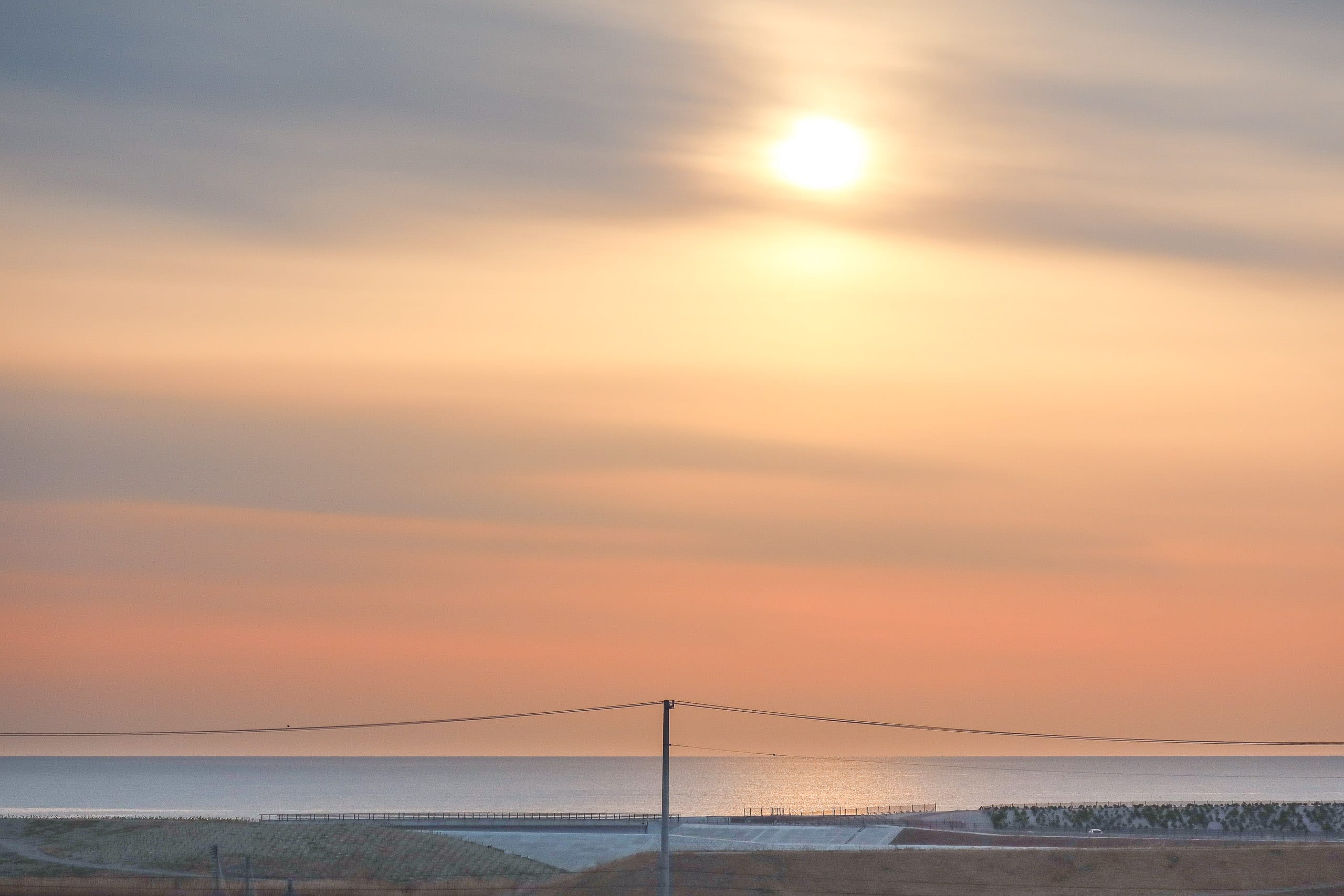
But when we peeked out from the hotel at dawn, the sky over the calm ocean was gorgeous, and then — bluebird. We crossed our fingers it would stick.
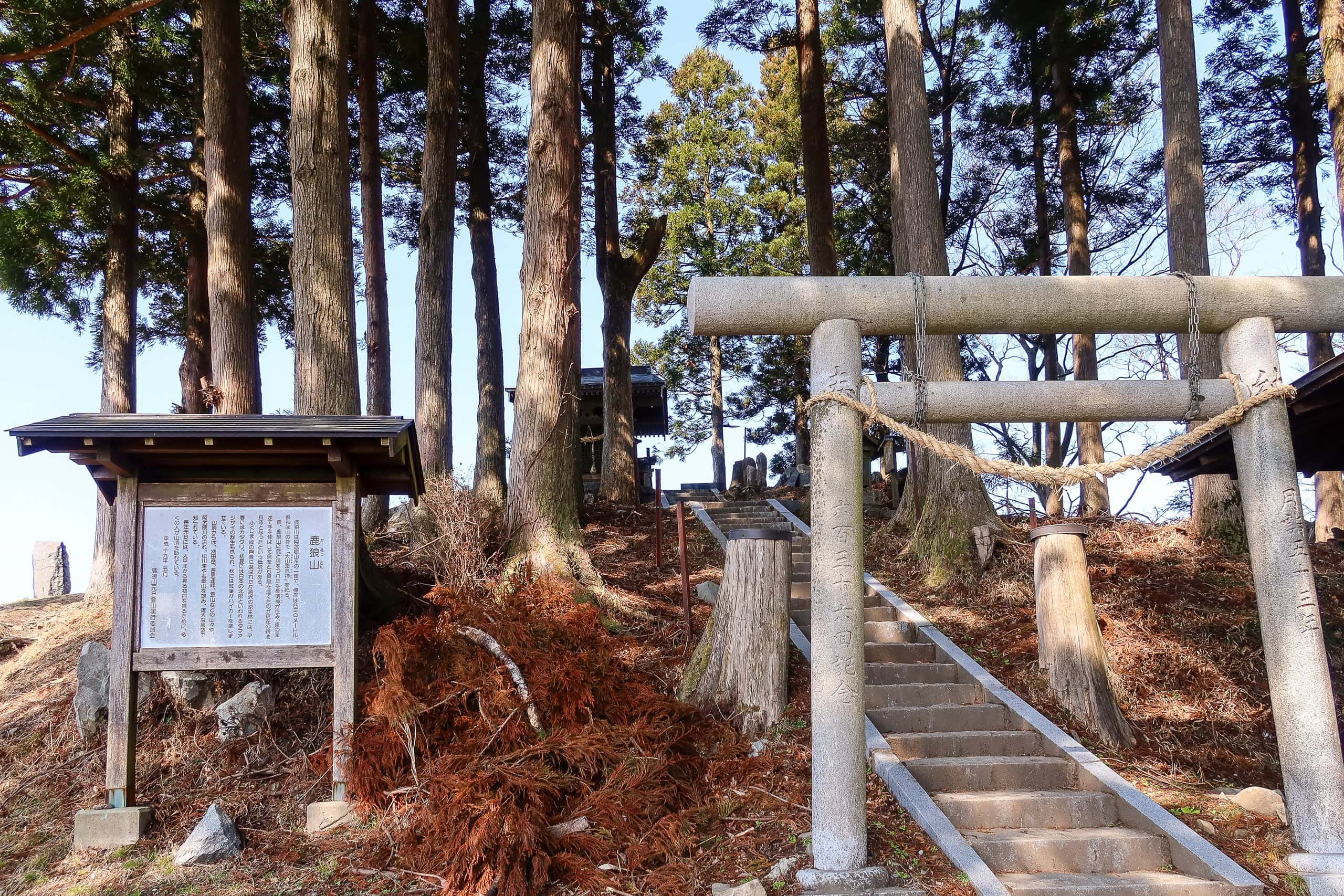
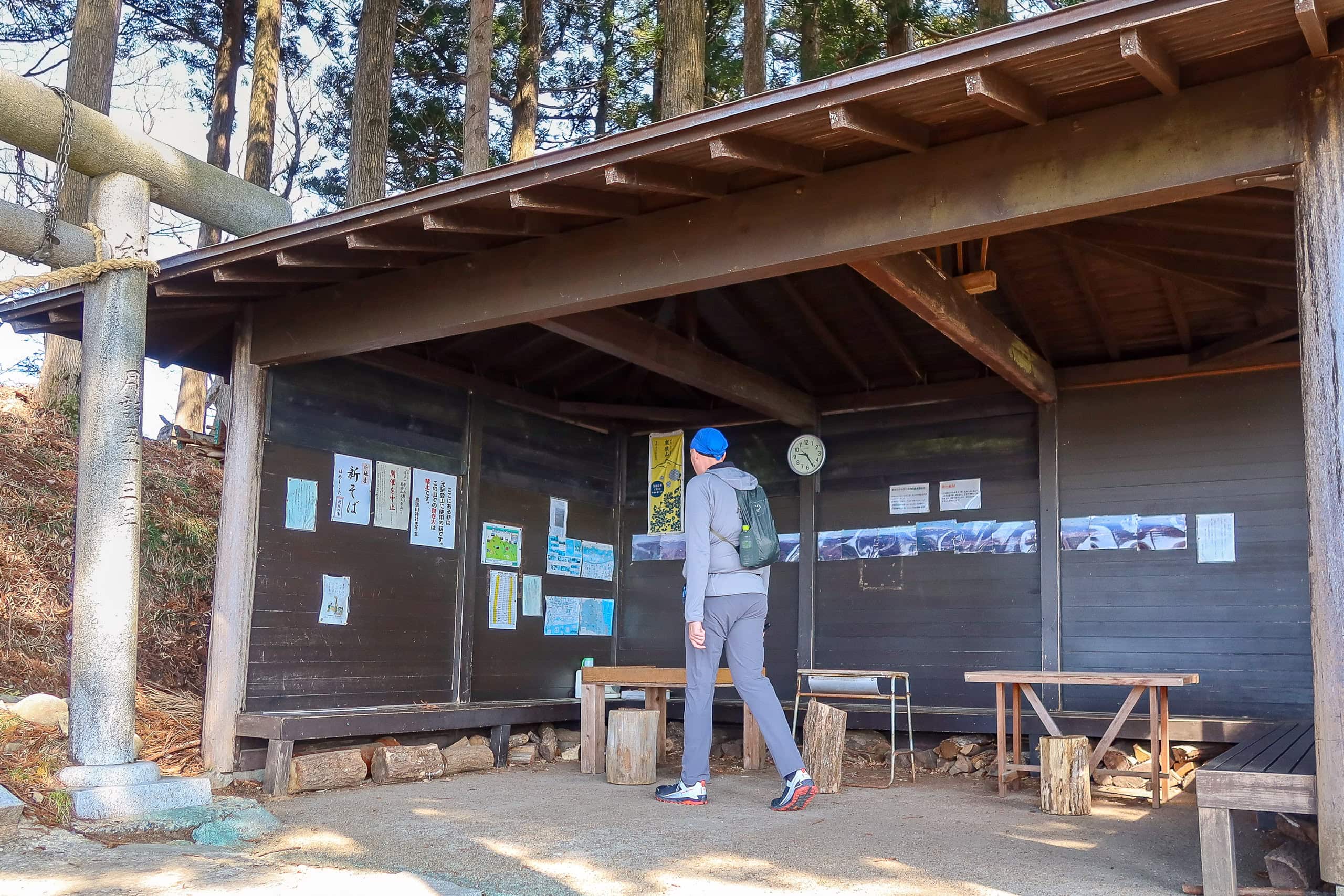
We came out with only very light, small backpacks; the taxi we’d booked last night was already waiting. Fifteen smooth minutes through quiet weekend neighborhoods and farmland, and we were back at the Mt. Karou 鹿狼山 trailhead.
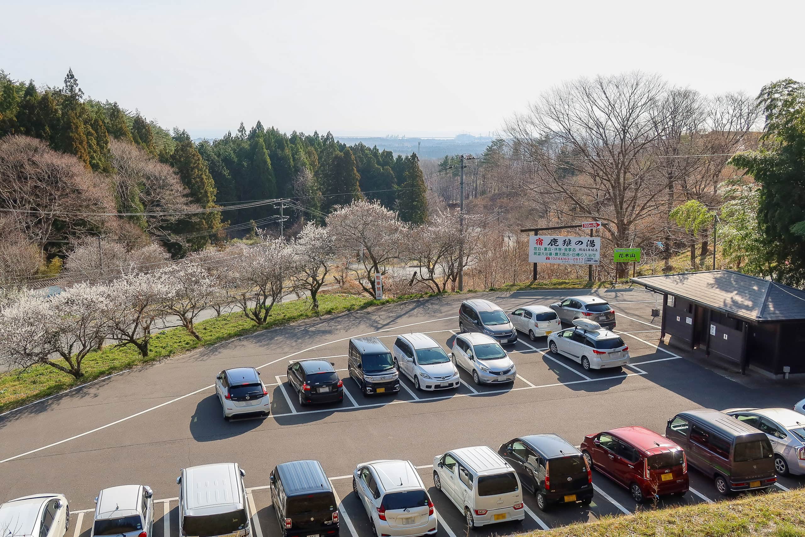
Mt. Karou — “the mountain of deer and wolves” — is a symbol of Shinchi Town 新地町 and a local favorite. It’s a year-round, casual day hike. Evidently: at still-early 8:30 a.m., the spacious lot in front of the trailhead was already almost full.
While we were coaxing cold drinks out of a vending machine, a few local elders came strolling down through the stone torii gate flanked by a deer and a wolf. Our jaws dropped. Looked like they’d already finished their morning routine trek. They must have started really early — before dawn, most likely…
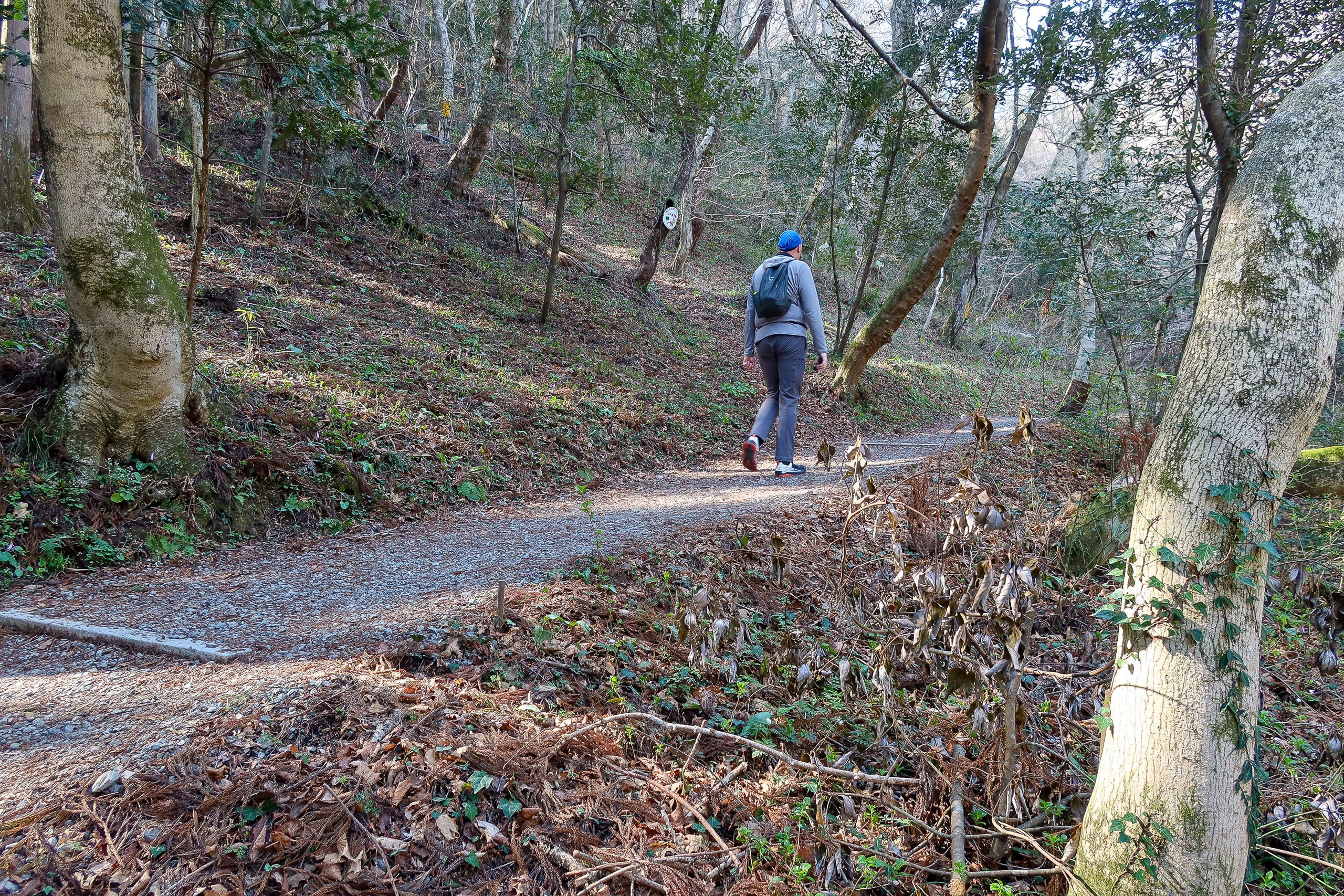
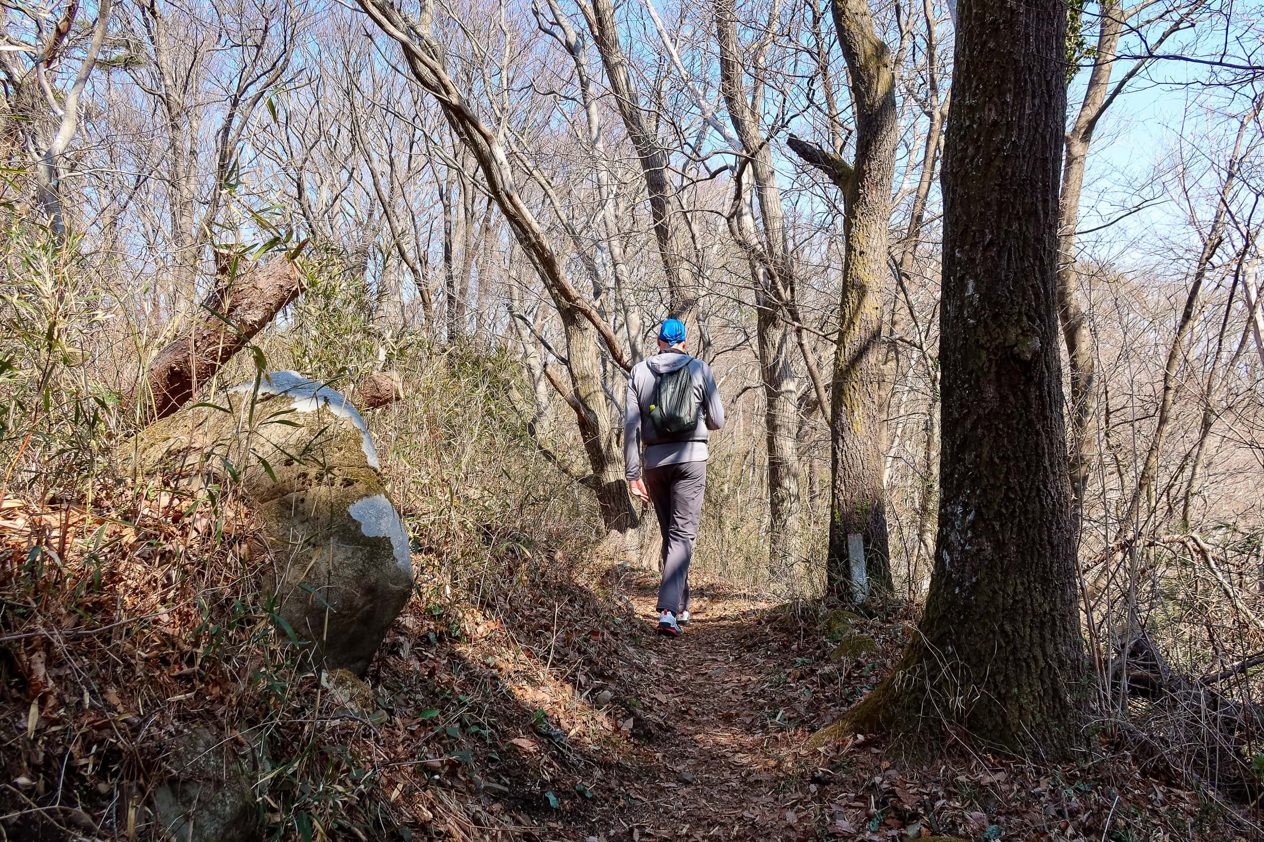
Feeling a bit intimidated, we pulled ourselves together and headed through the gate.
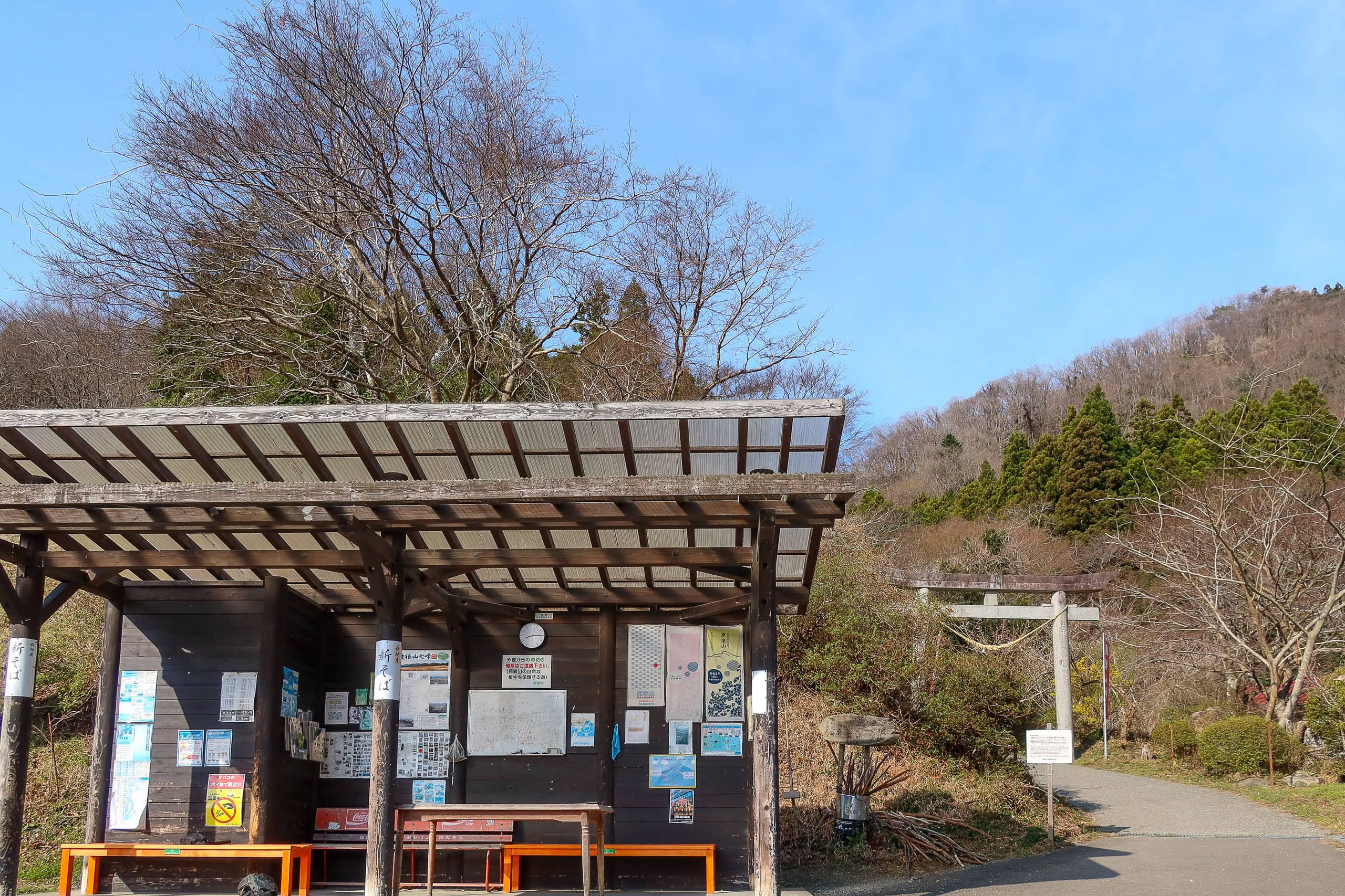

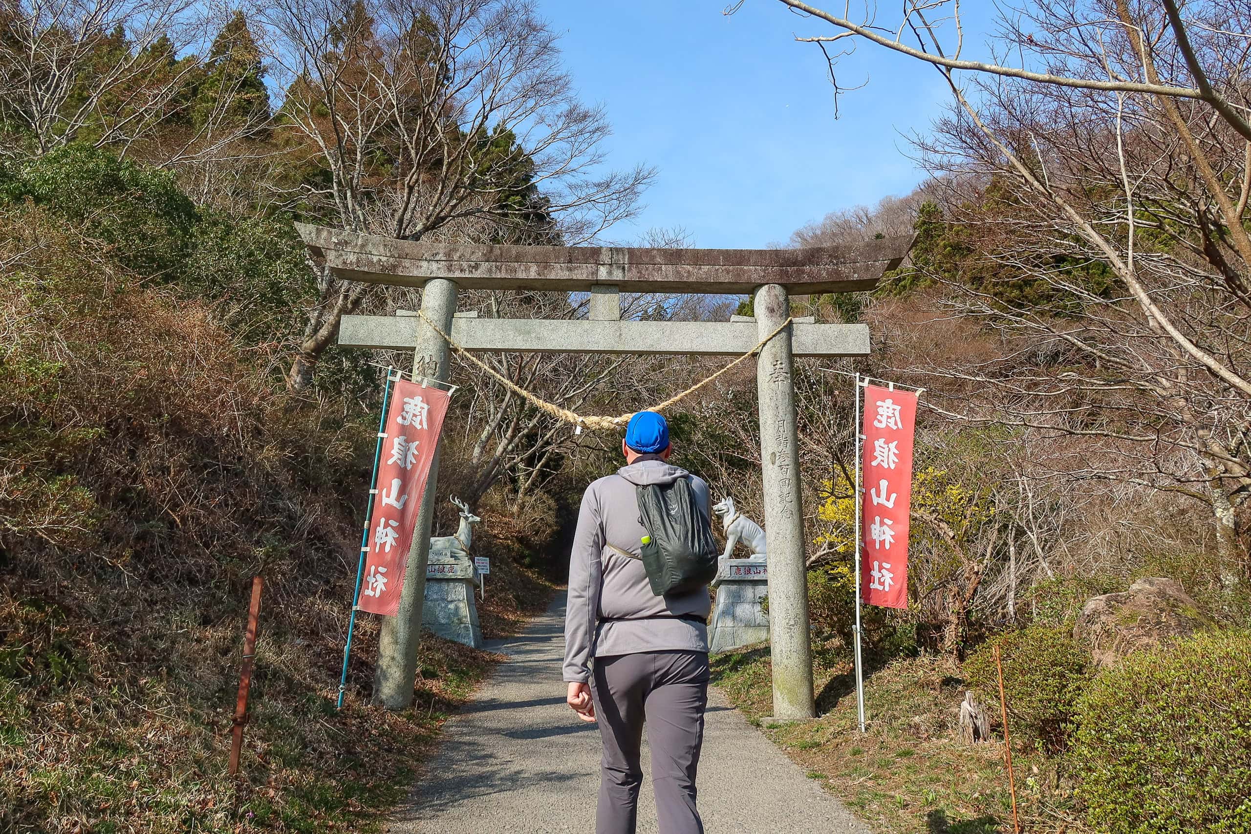
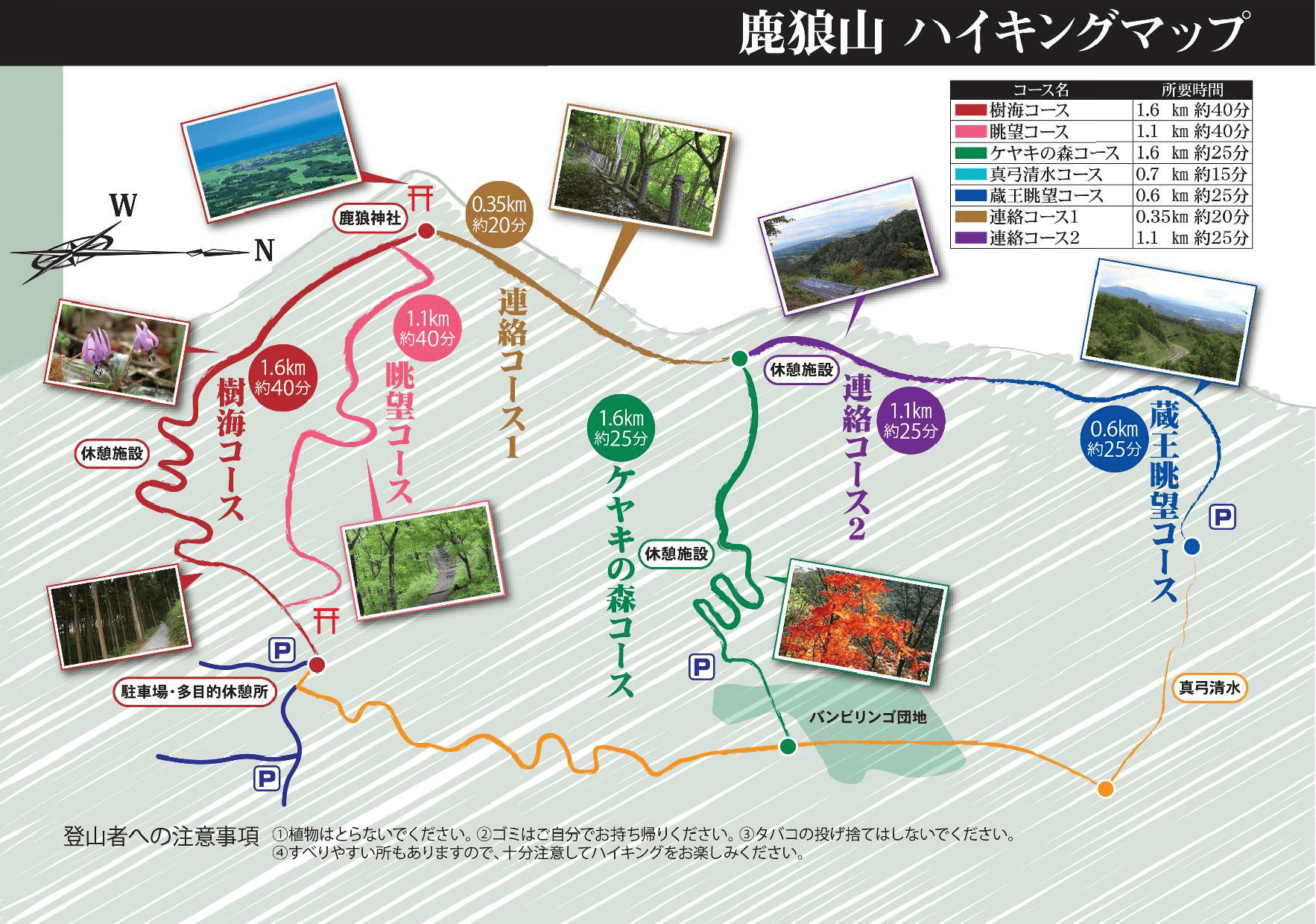
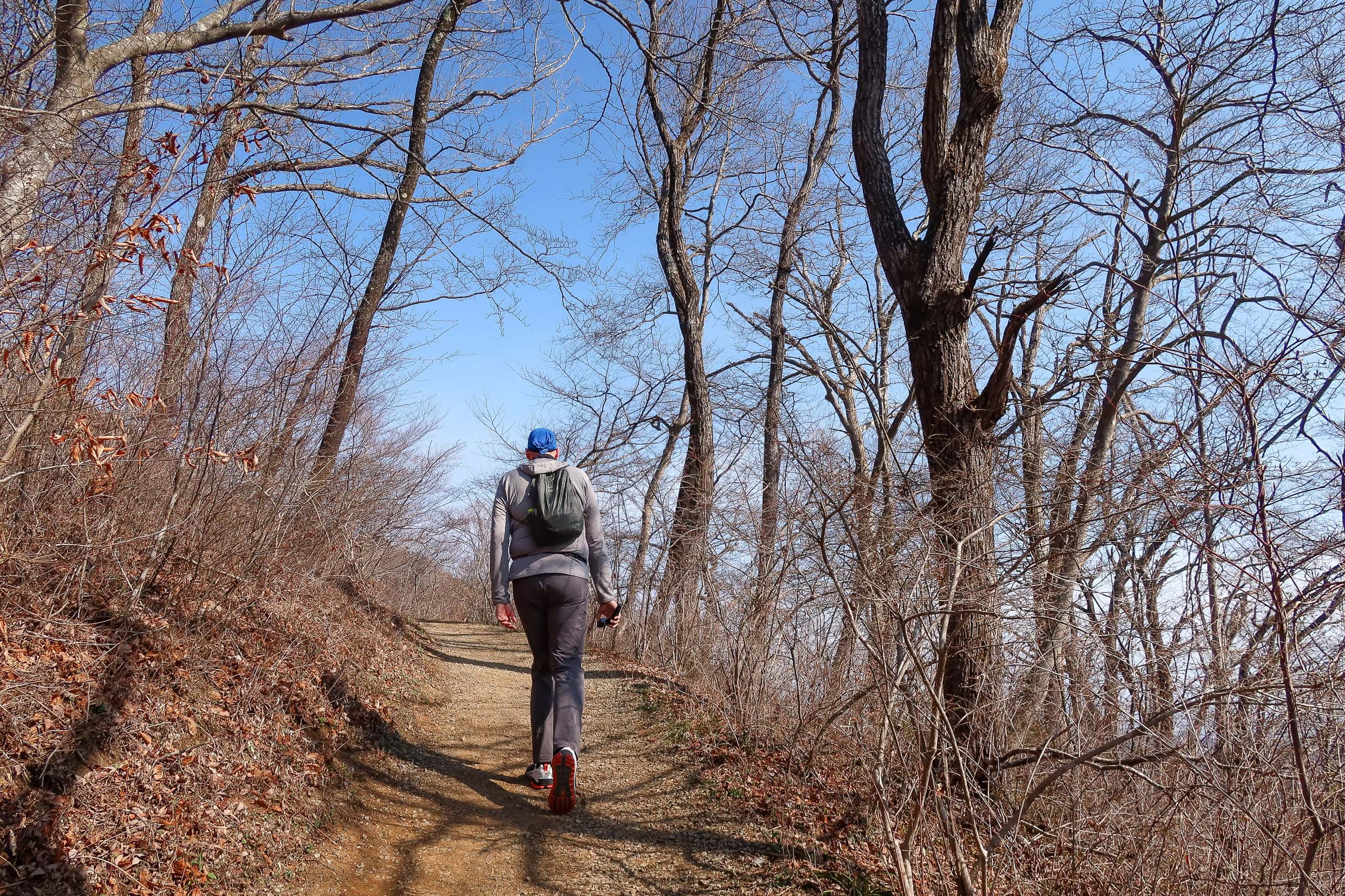
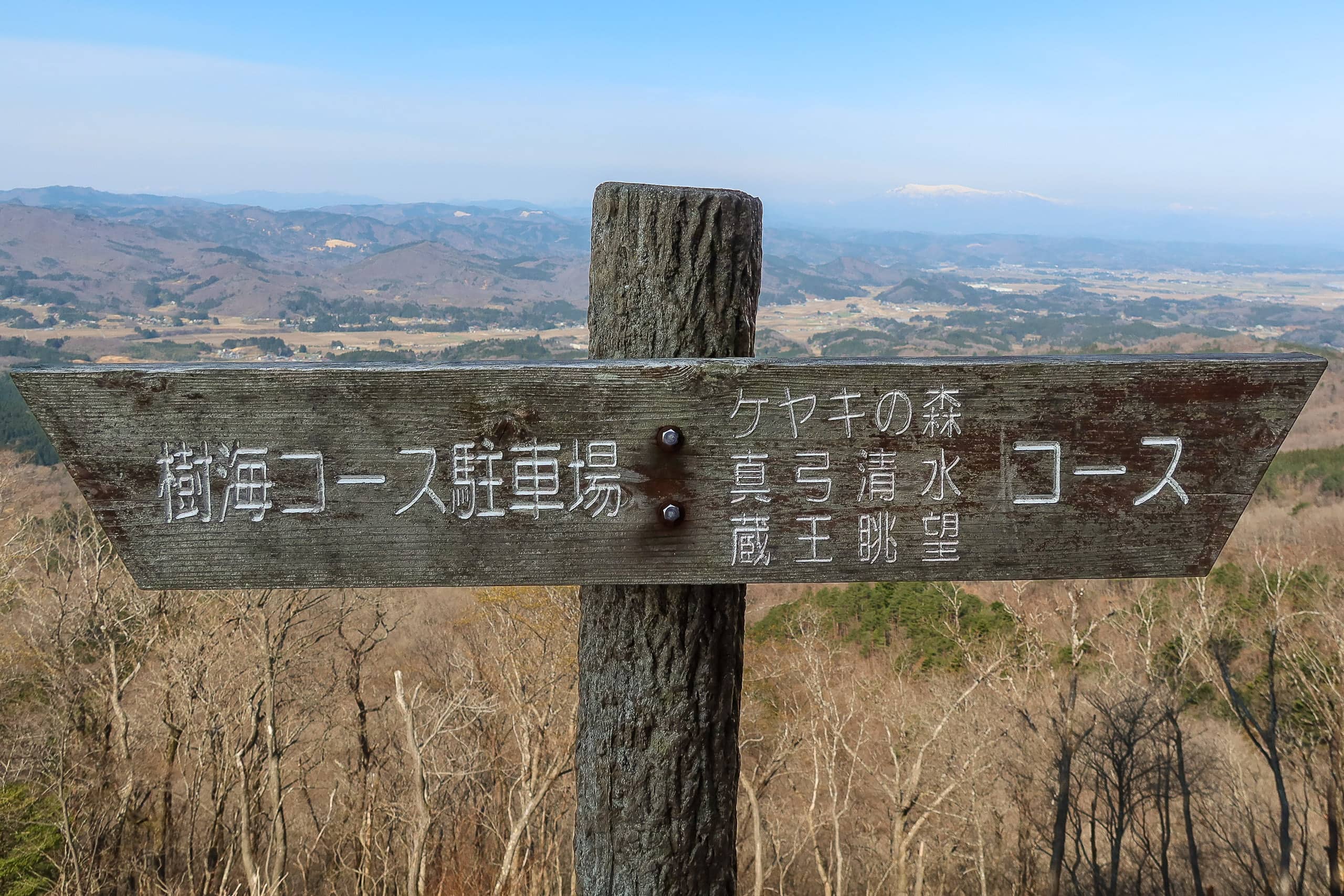
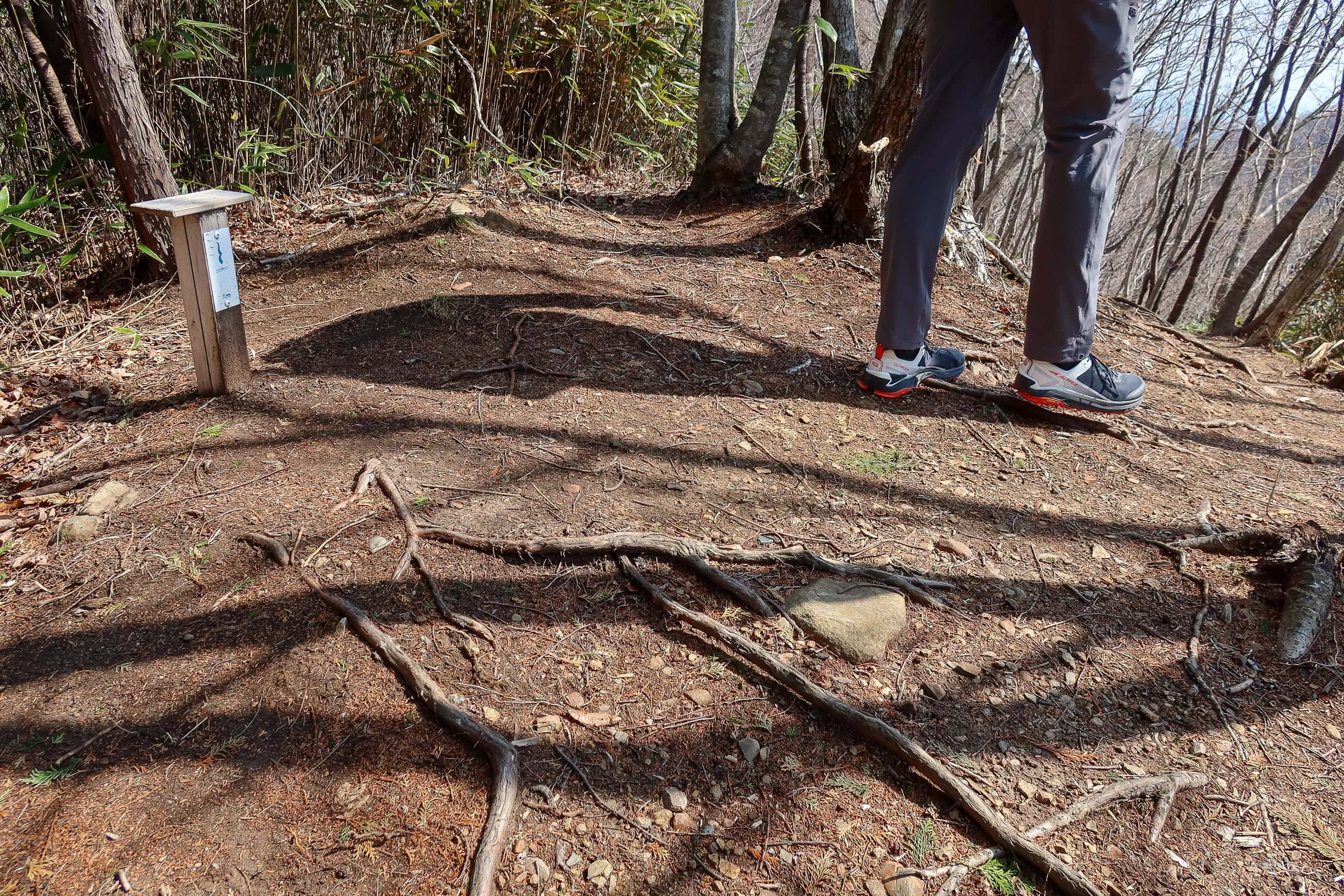
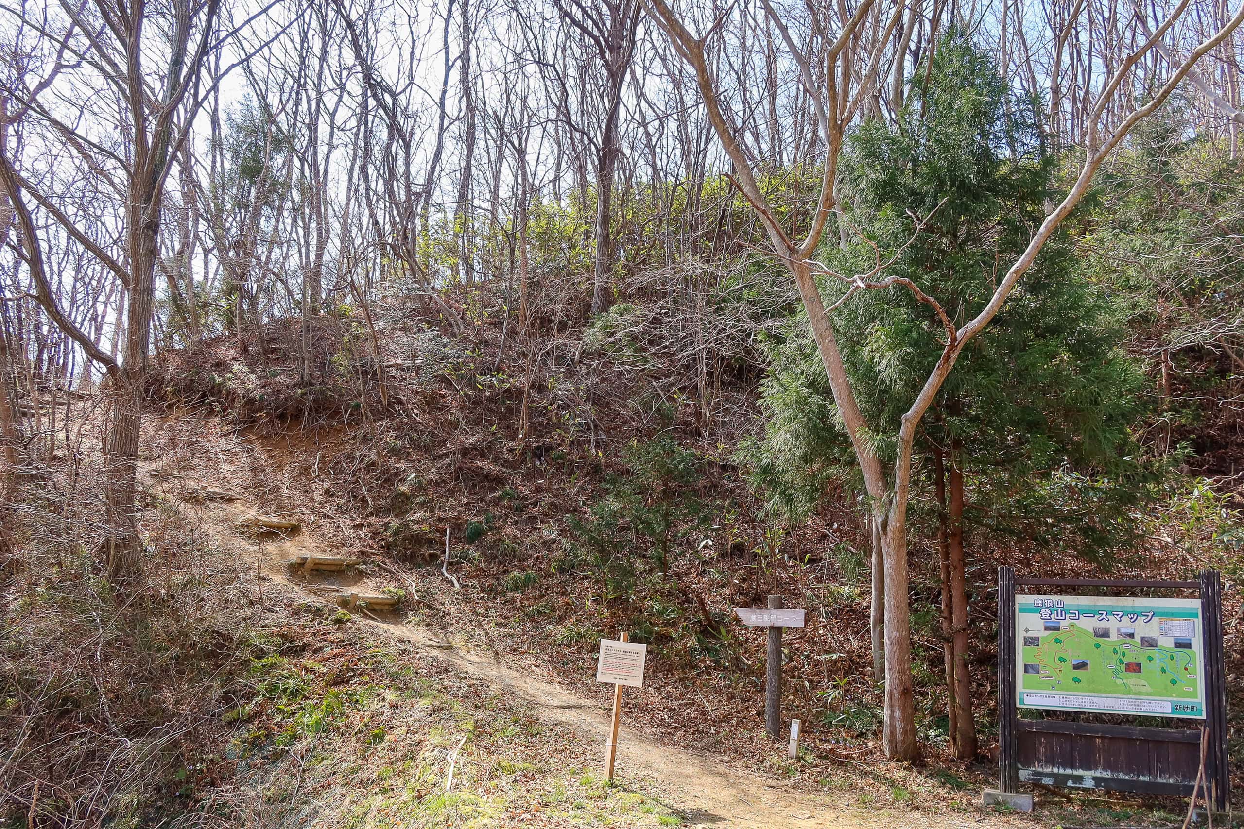
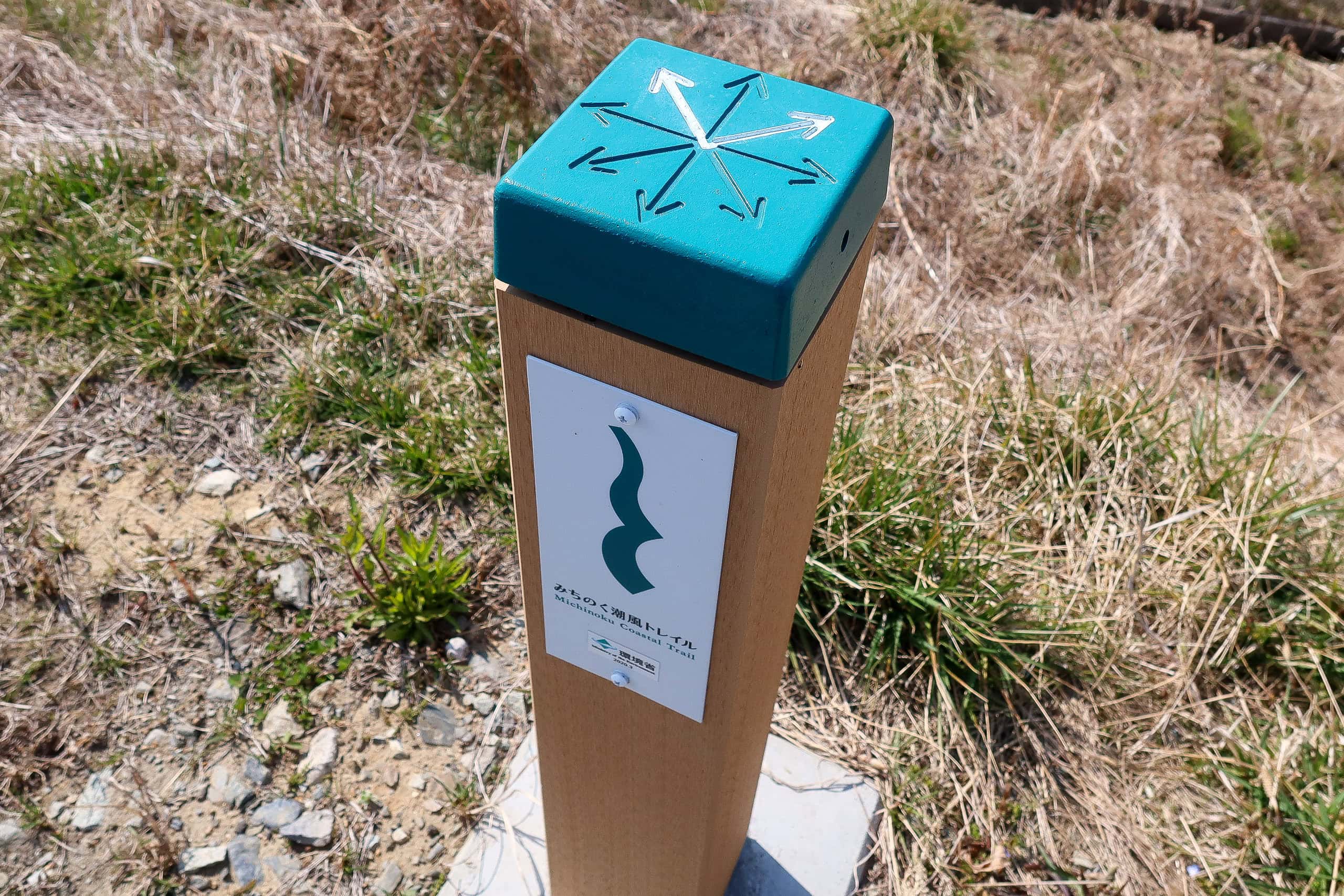
A route board at the trailhead showed multiple paths to the top. The MCT line matched the south orange line — the “forest route.” But honestly, you don’t need to memorize routes: just follow the MCT logo markers and you’re fine.
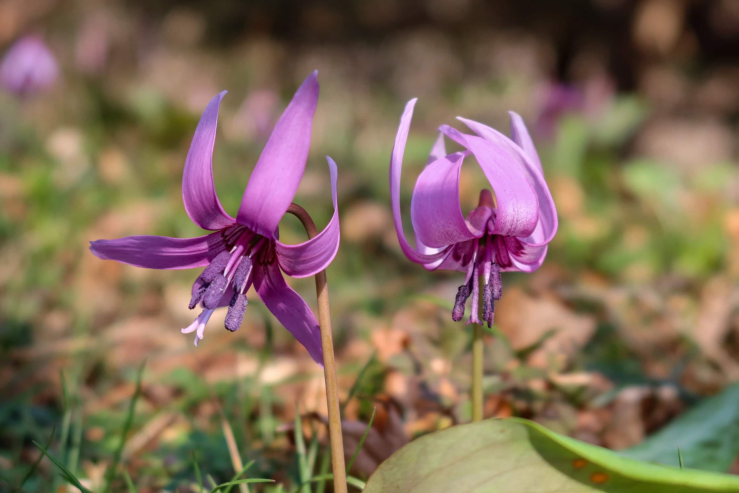
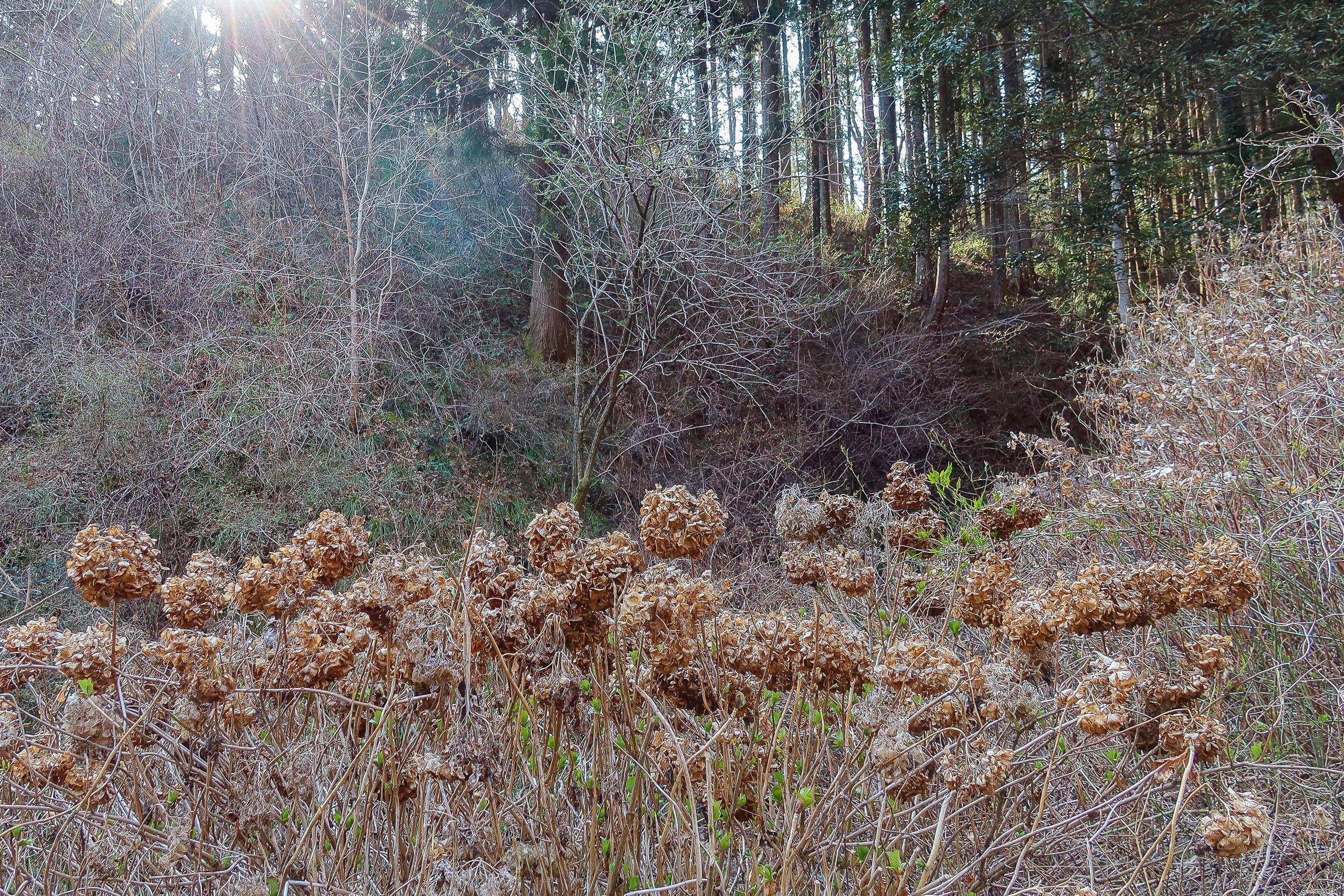
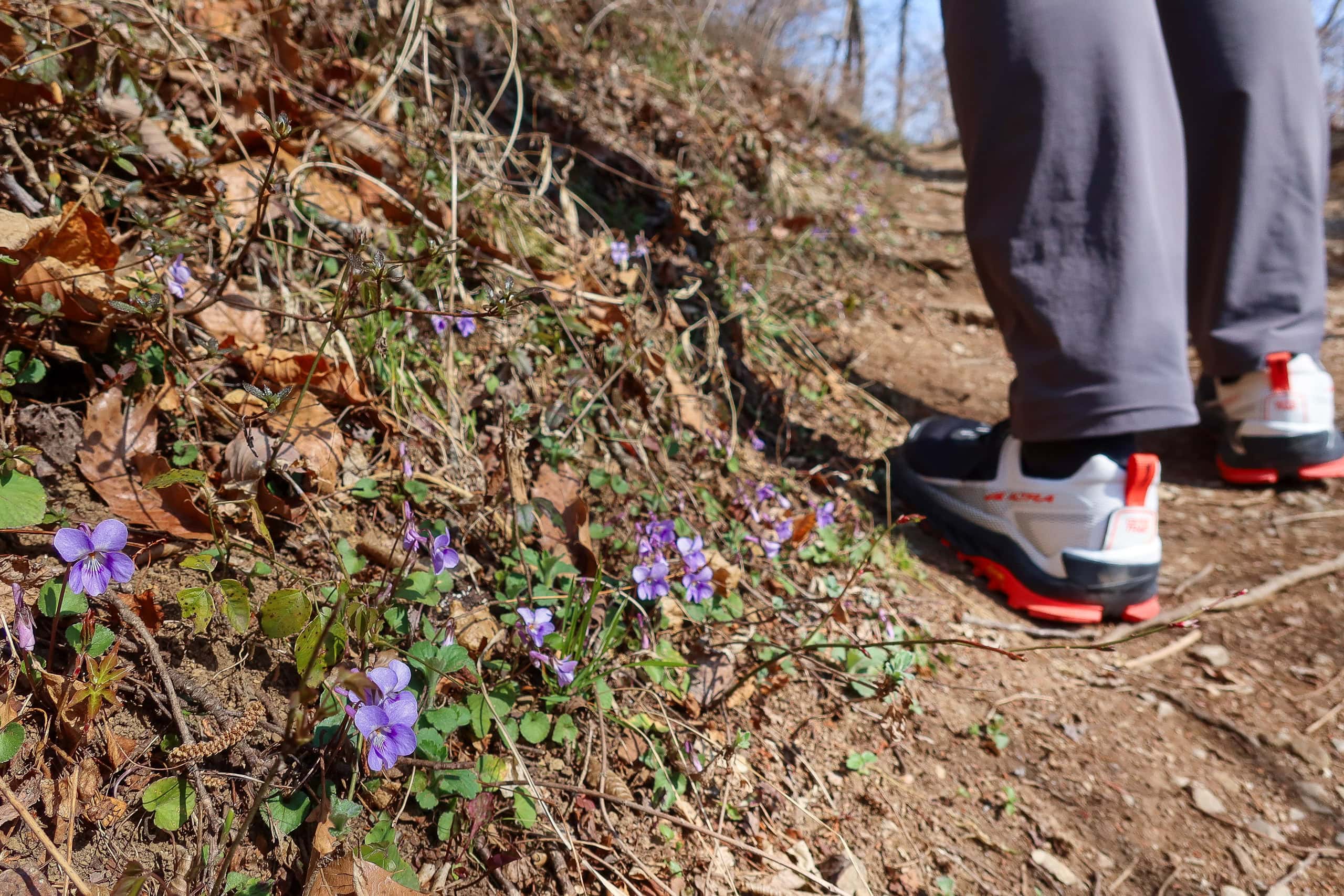
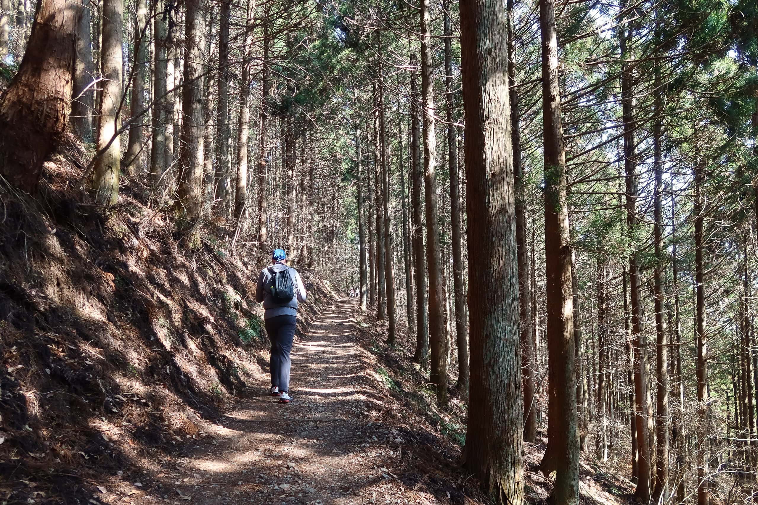
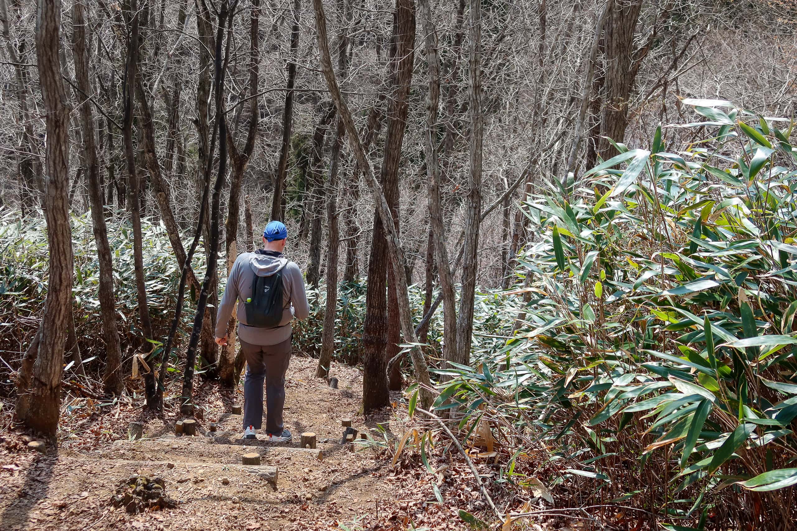
It must be katakuri season — tiny, cute dog’s-tooth violets — because little clusters were blooming here and there along the earthen edge of the trail. Down in the shaded valley near the trailhead, dried hydrangea bushes lined the path; I could picture how gorgeous they must be in the June–July rains.
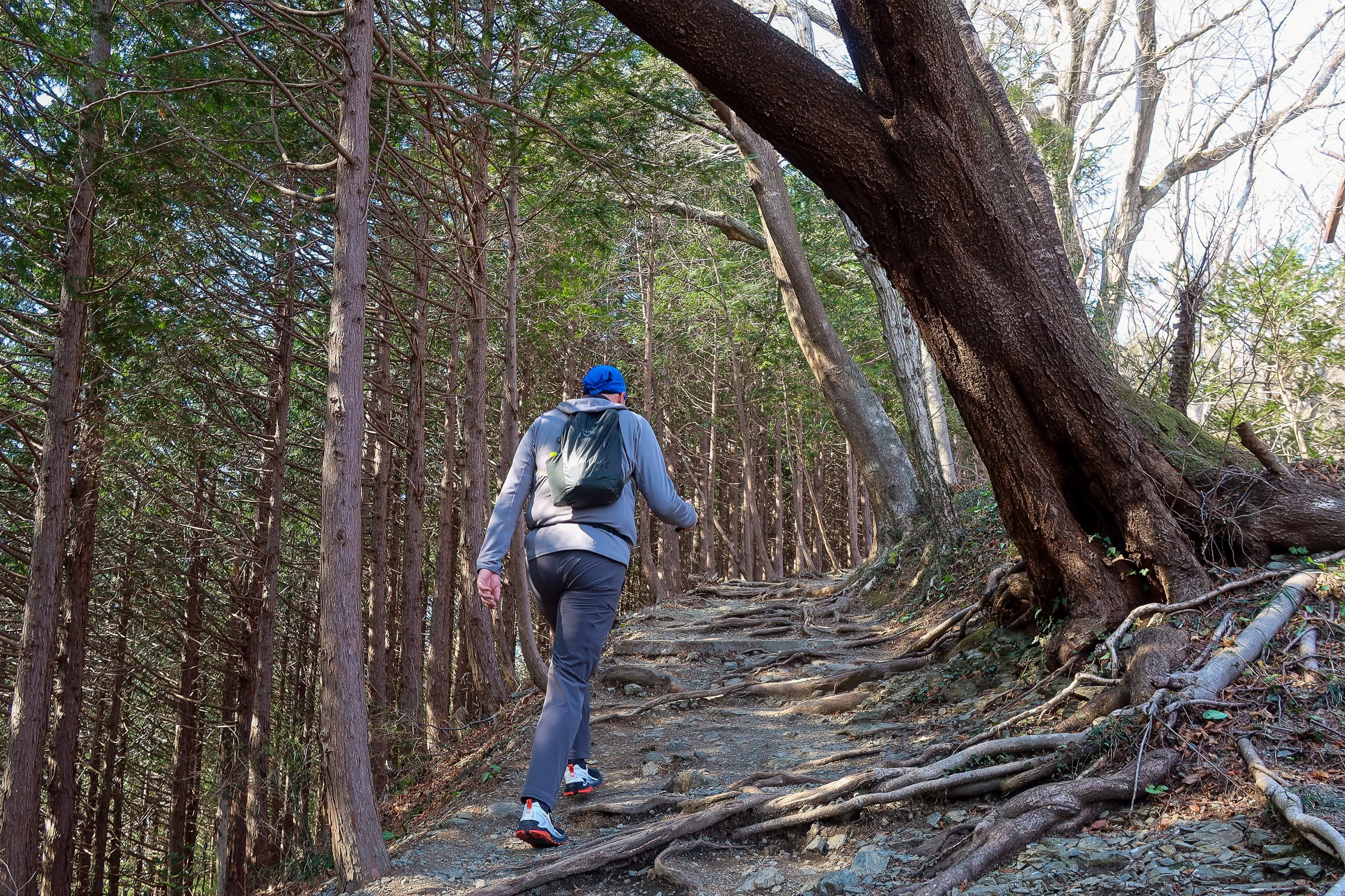
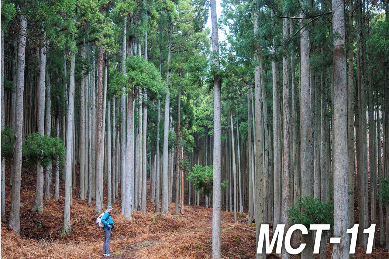
The lower part of the mountain was wrapped in thick evergreen plantations, probably cedar or cypress grown for timber, while most mid- and upper-slopes were deciduous and still leafless in this early spring.
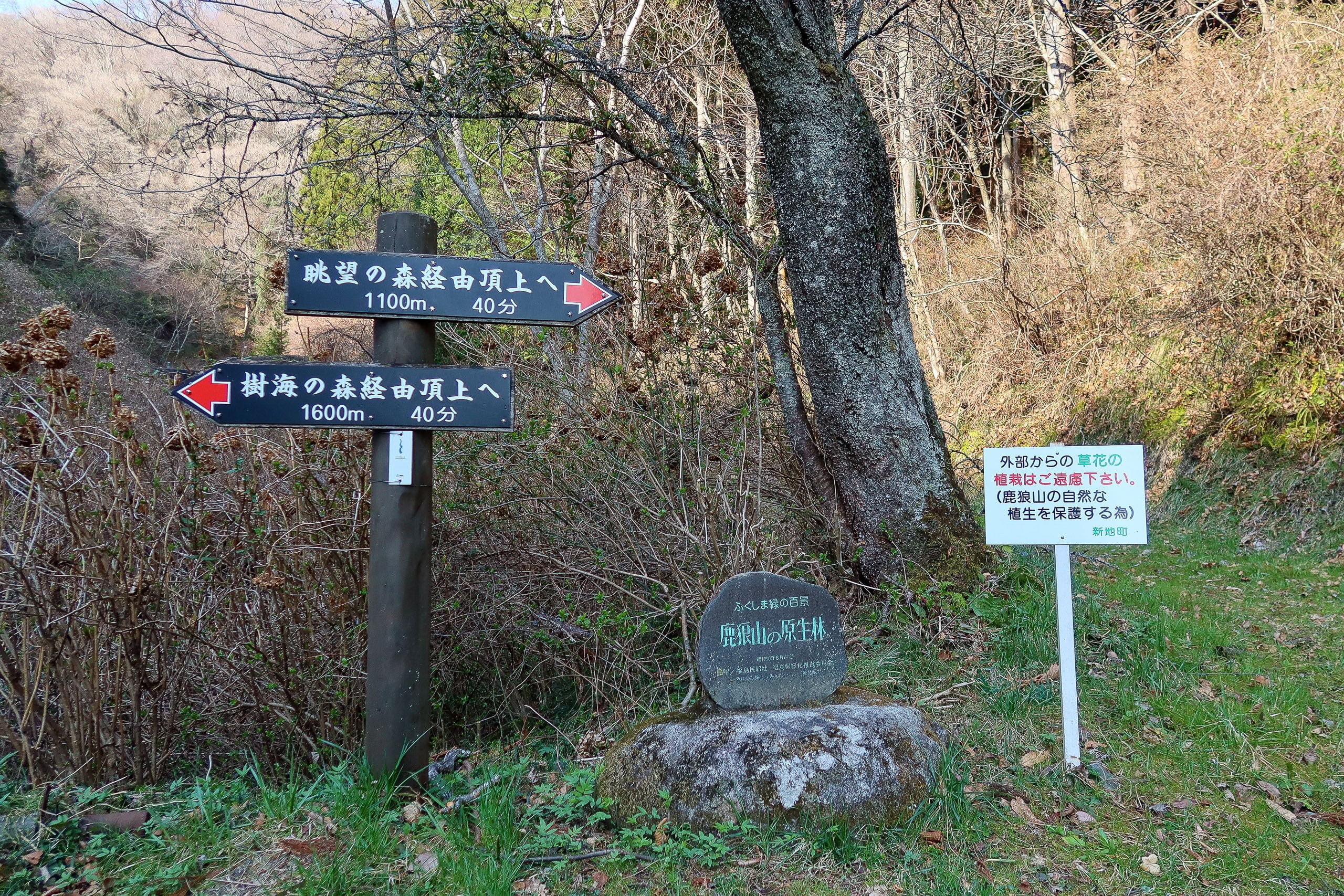
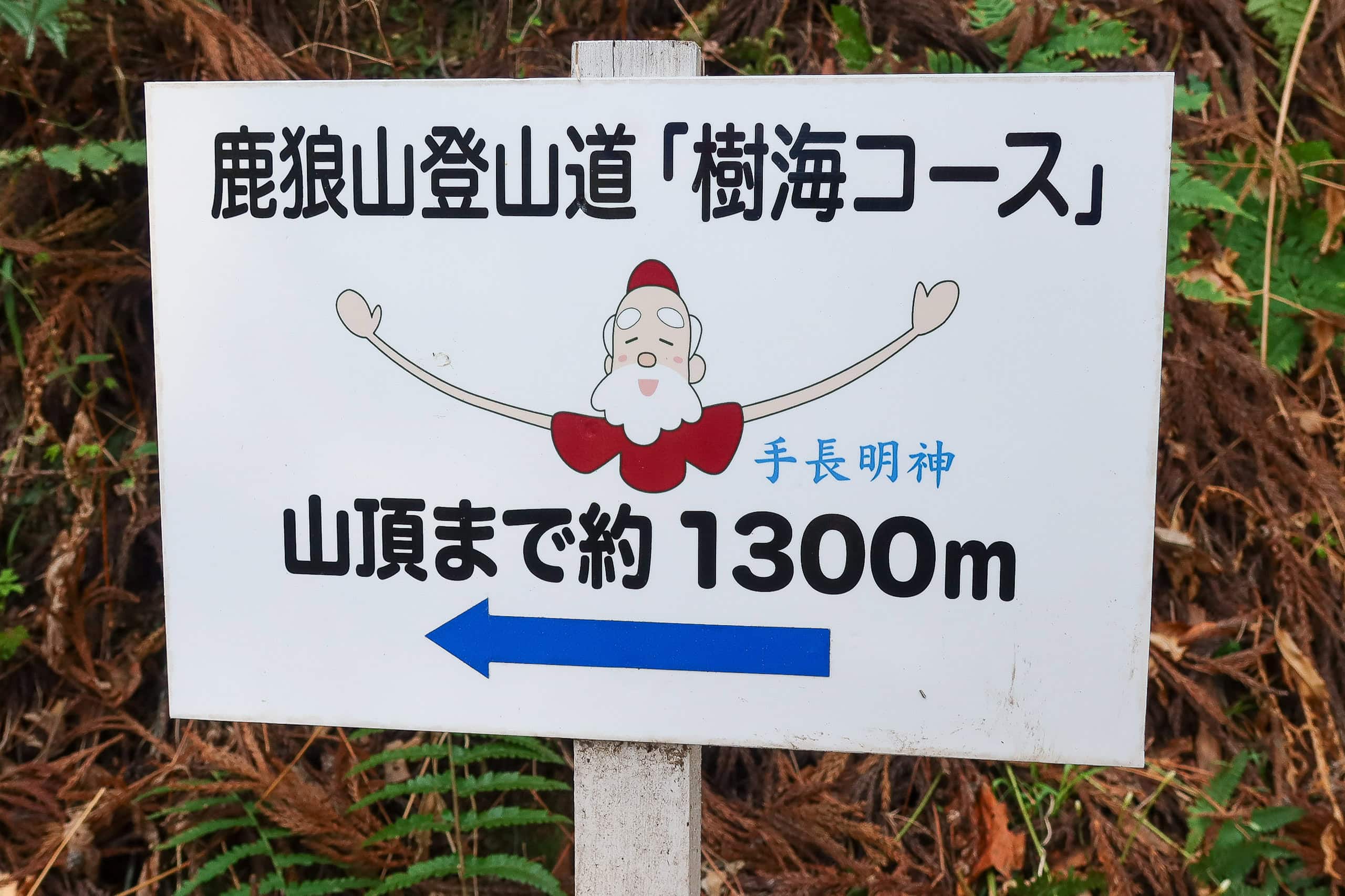
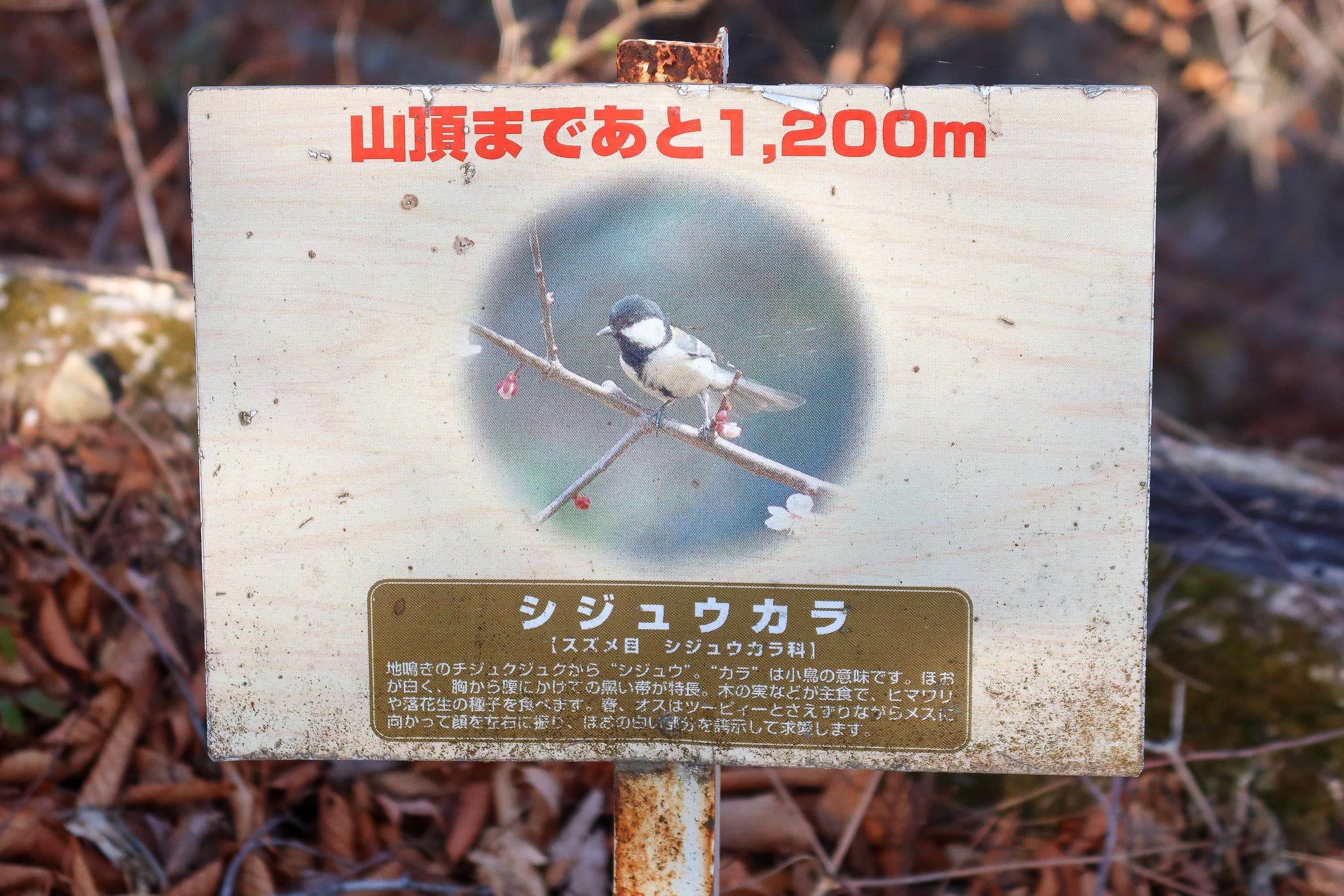
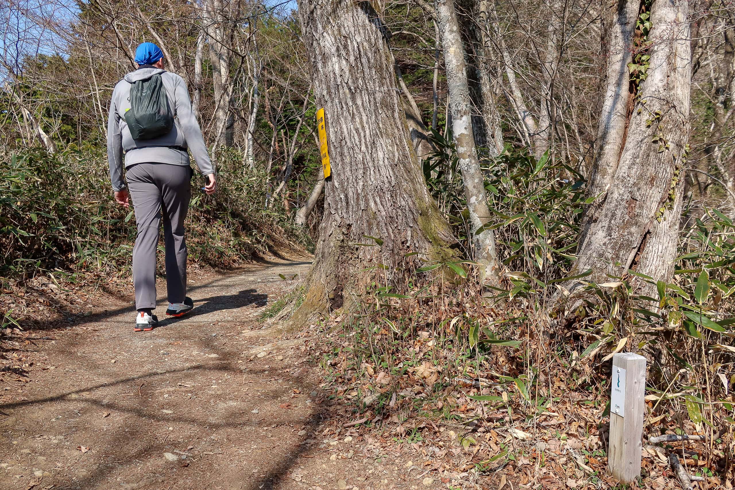
Every 100 meters a small sign counted down the distance to the top. Some showed the names and pictures of birds that live on the mountain; others featured a cute illustration of the same old man in ancient clothes, with comically long, thin arms.
At the summit we learned who he was. According to local legend, a deity with extraordinarily long arms lives on Mt. Karou — Tenaga Myojin 手長明神, literally “the long-arms god.” His arms can stretch all the way to the ocean to gather shellfish. Ancient shell mounds said to be his still remain at an archaeological site in Shinchi Town…
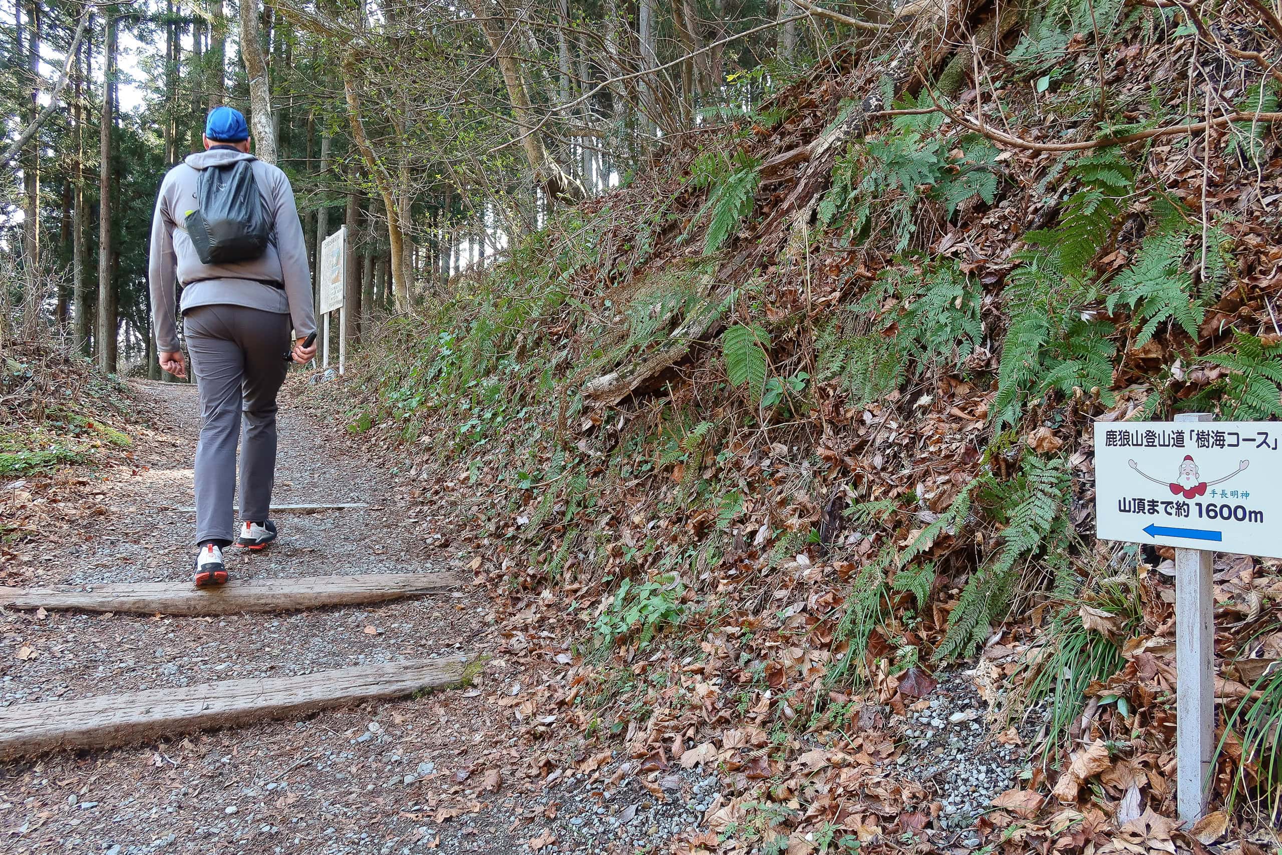
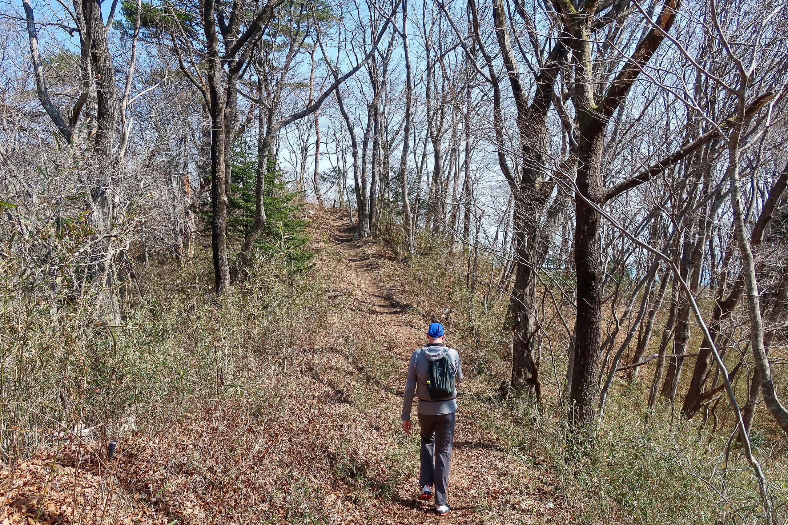
A leisurely 40 minutes on the forest route is enough to reach the summit.
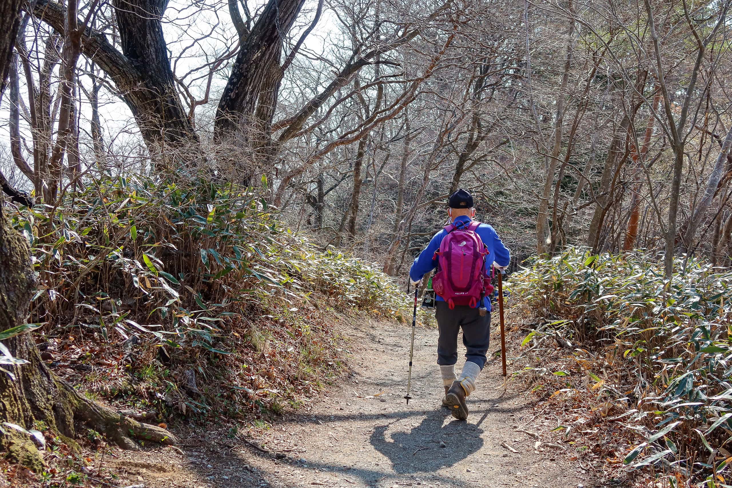
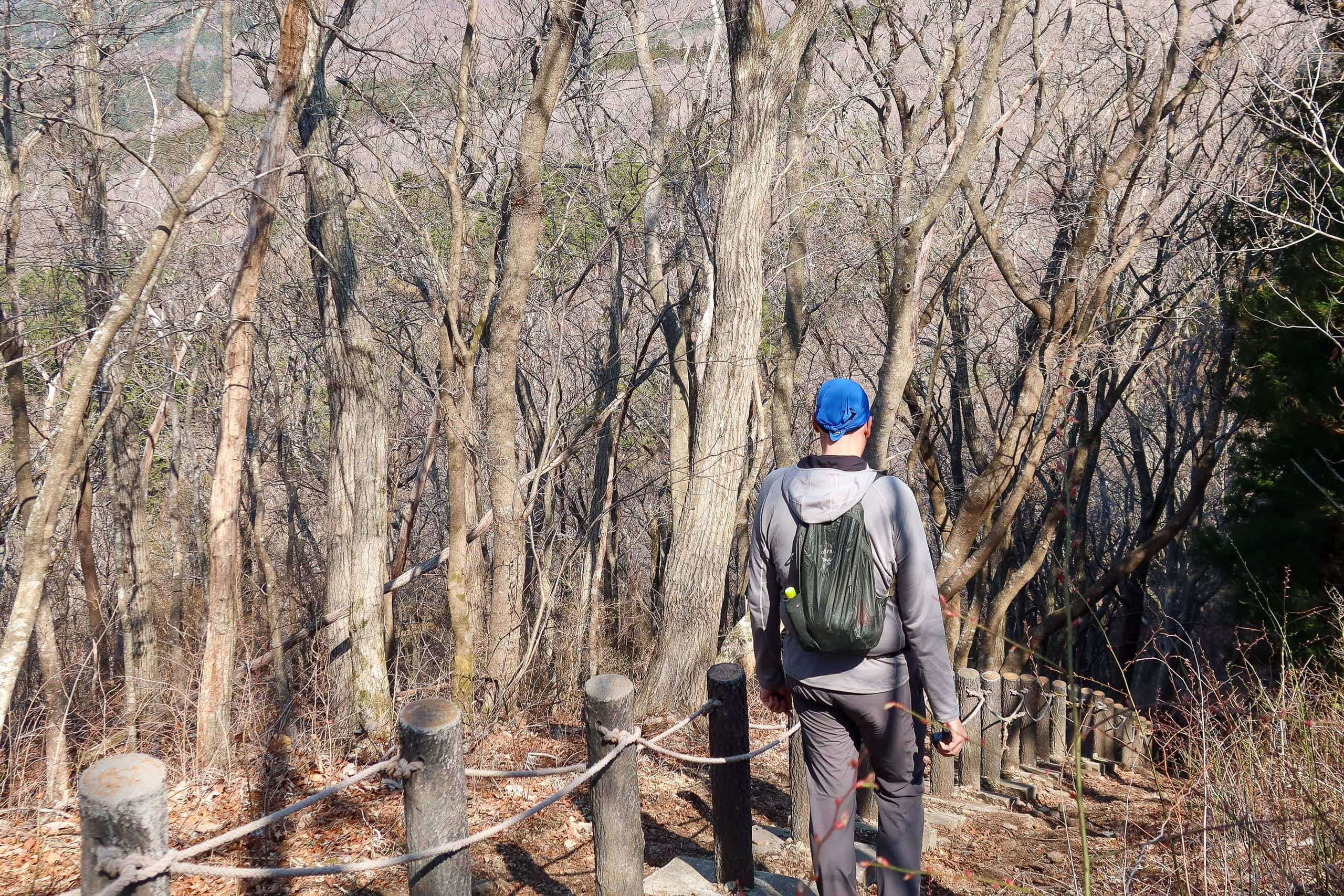
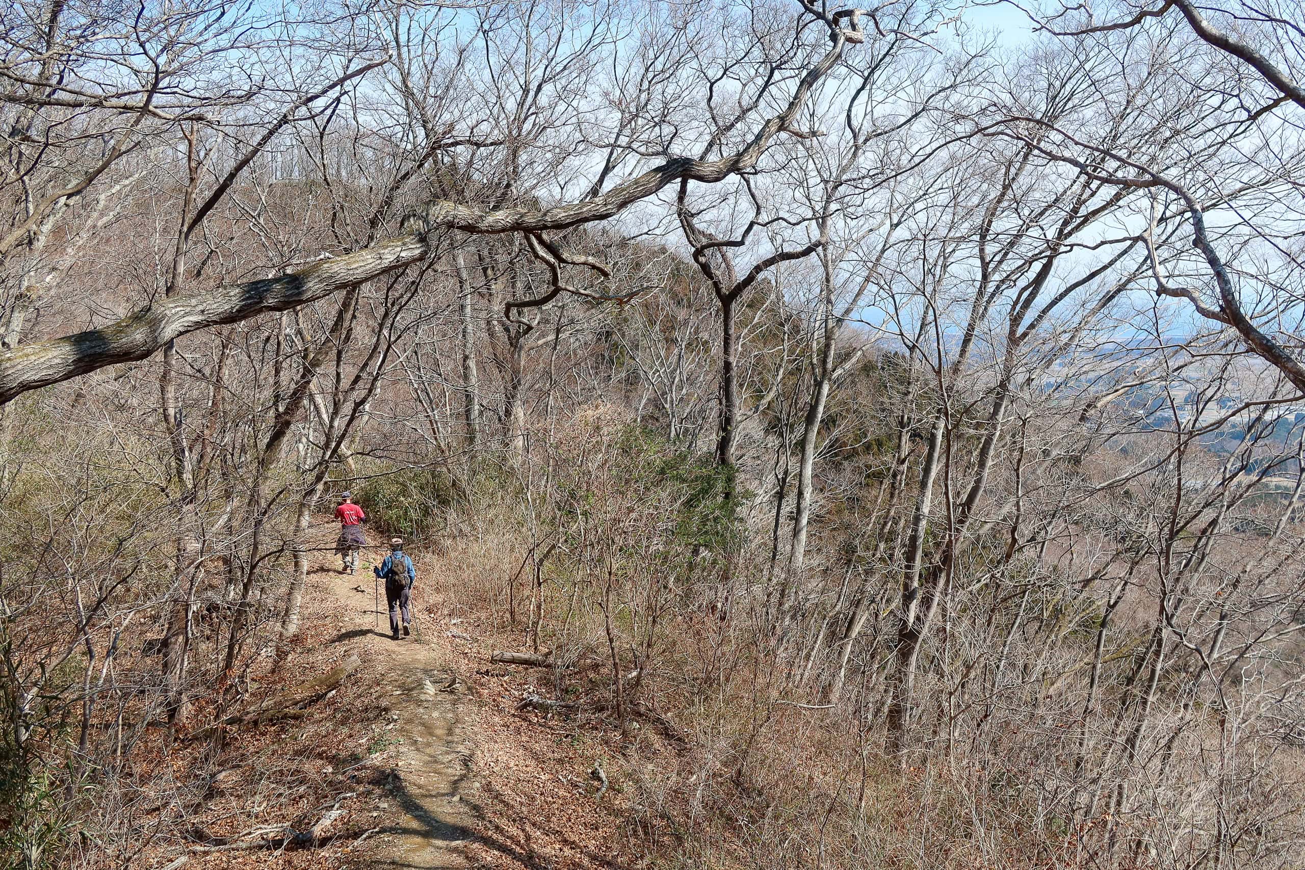
On the gently ascending, well-maintained trail we passed plenty of people going both ways: solo hikers, families with kids, middle-aged couples, groups of girlfriends, dog walkers. One thing was clear — they all looked local, out for a weekend walk, not MCT thru-hikers.
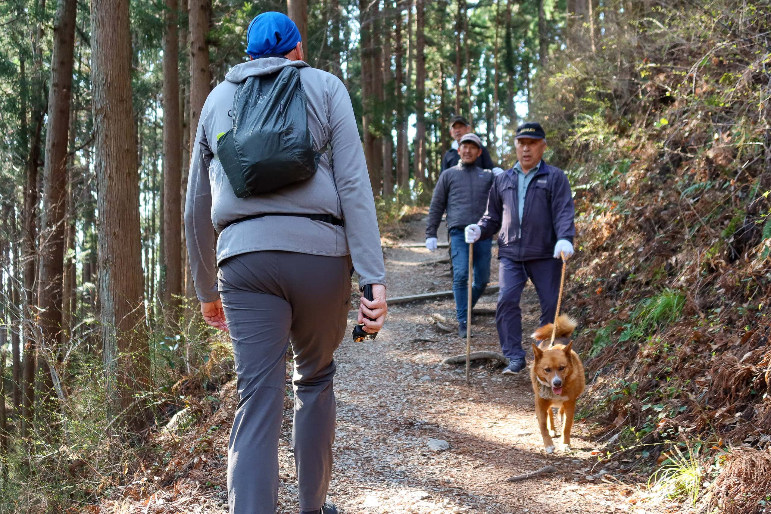
At one point, through the thick trees, we started hearing what sounded like children’s voices up ahead. Soon it became clear — they belonged to a young couple with two little boys coming down the trail toward us. We couldn’t tell if they were returning from the summit or just wandering the lower paths, but the kids still had endless energy, trotting far ahead of their parents. Their cheerful voices echoed through the woods, calling “goodbye!” to every hiker they passed, as if determined not to waste a single chance to use their new favorite word.
Of course, when they reached us, we got the same joyful “goodbye!” — followed by giggles as they kept running downhill. Their parents came behind them, smiling a little sheepishly. “Sorry, the boys are too excited.”
We smiled back. “No problem at all.” It was good to see kids enjoying the trail.

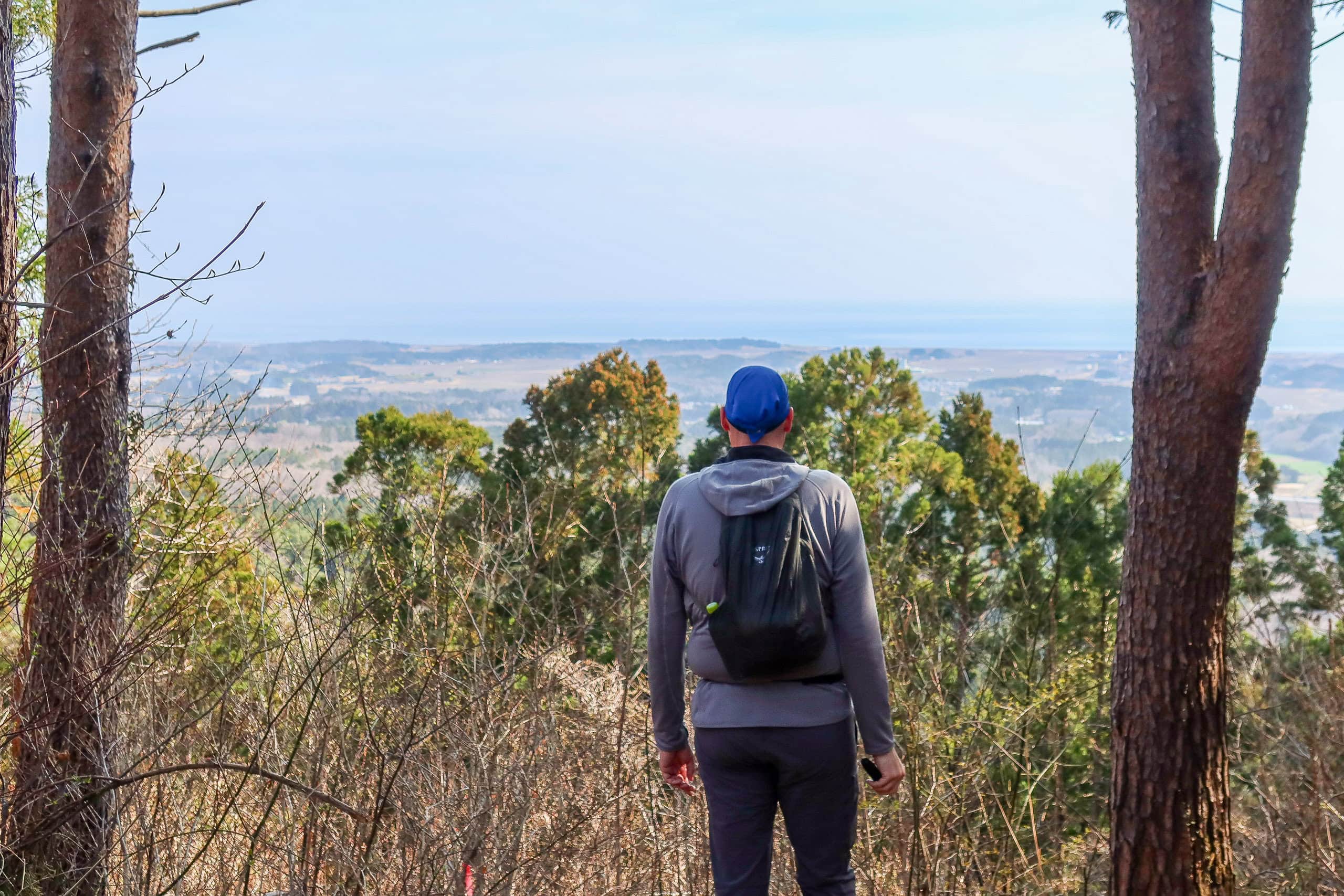
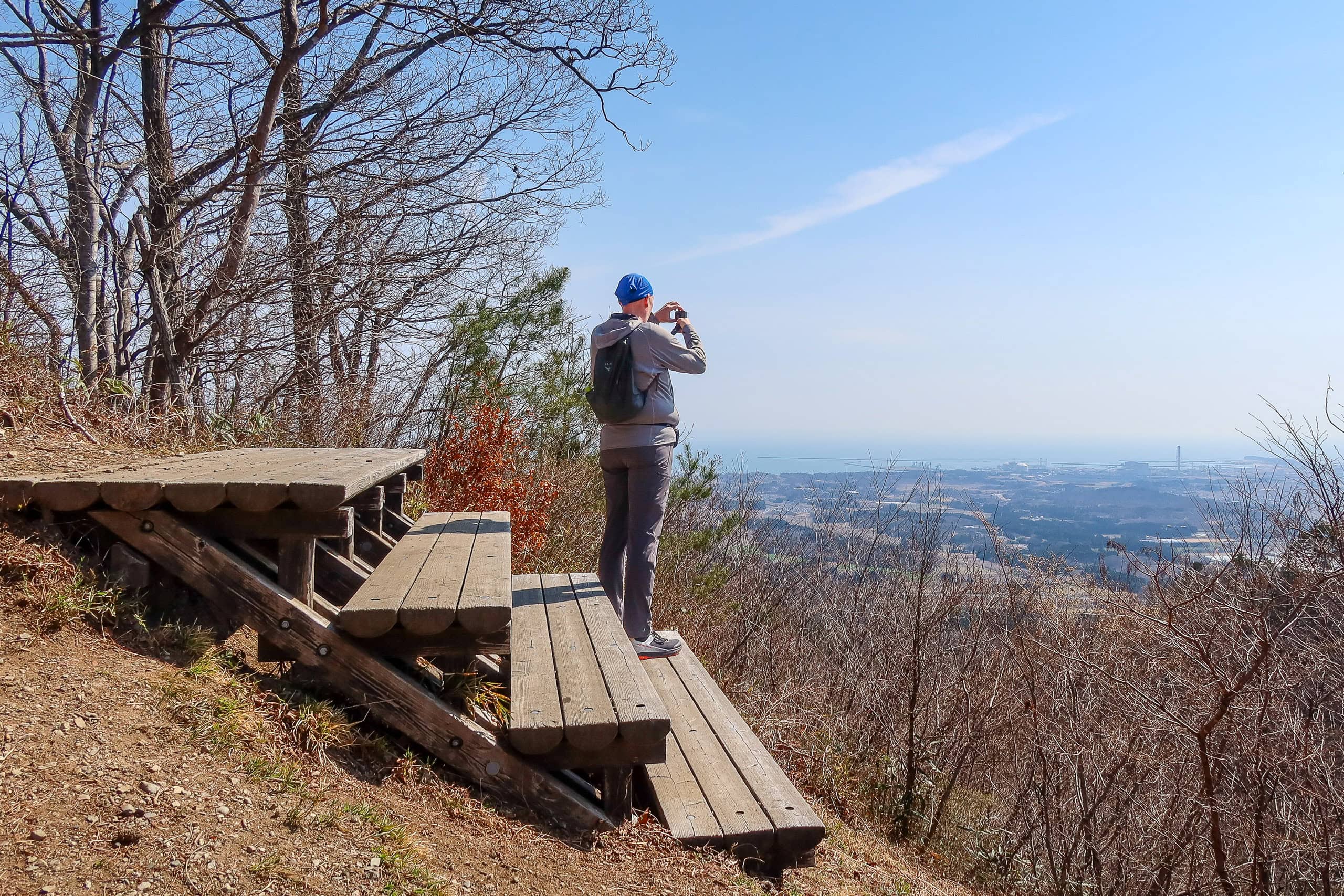
After the “goodbye boys,” we reached a small rest hut about halfway up, which offered a surprisingly good view. The lower half of it was blocked by overgrown trees — at least for me; Erik, being taller, had a much better vantage point — but I could still see Shinchi Town stretching along the coast and the hazy Pacific beyond. The weather and temperature were perfect for a spring mountain walk, and thankfully the sky still showed no hint of rain.
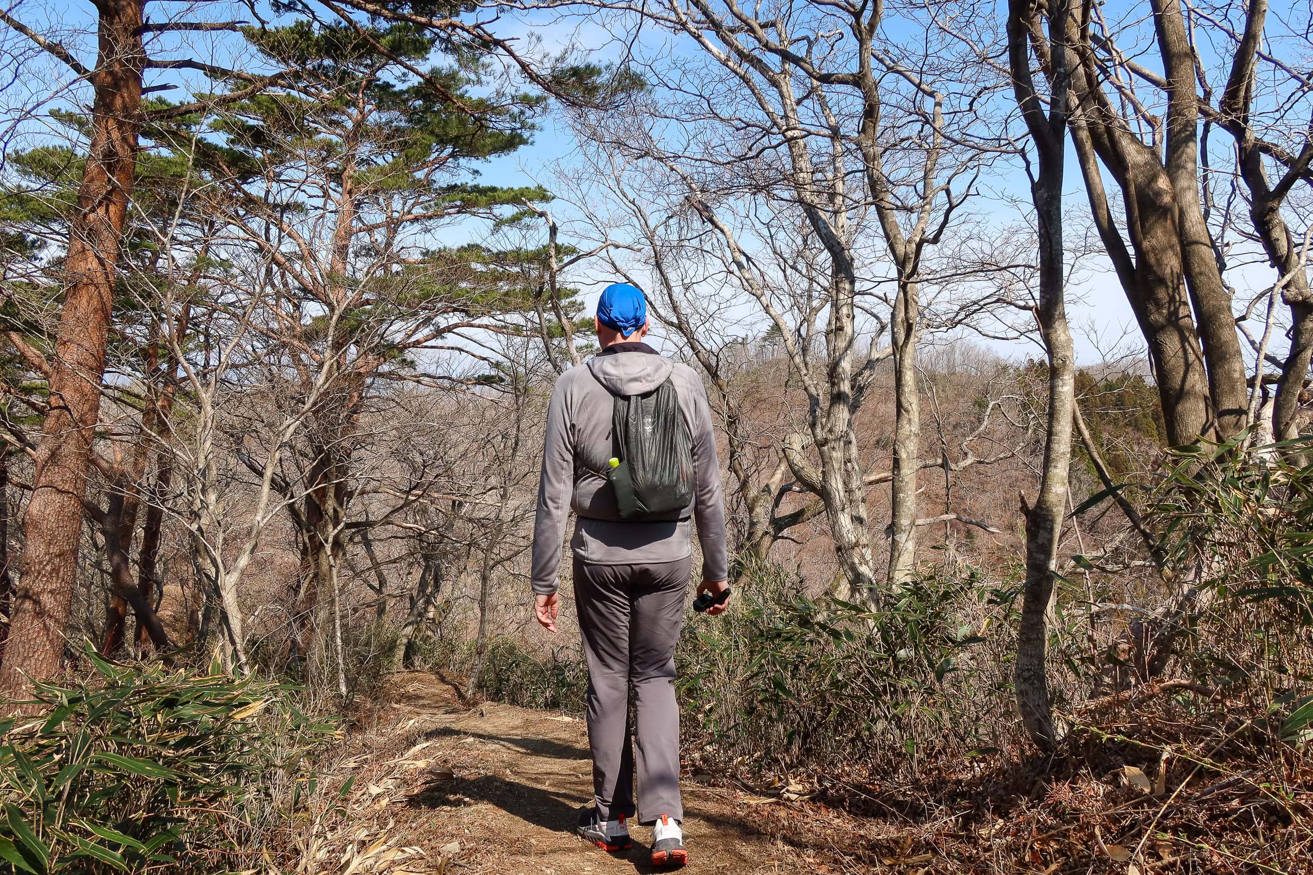
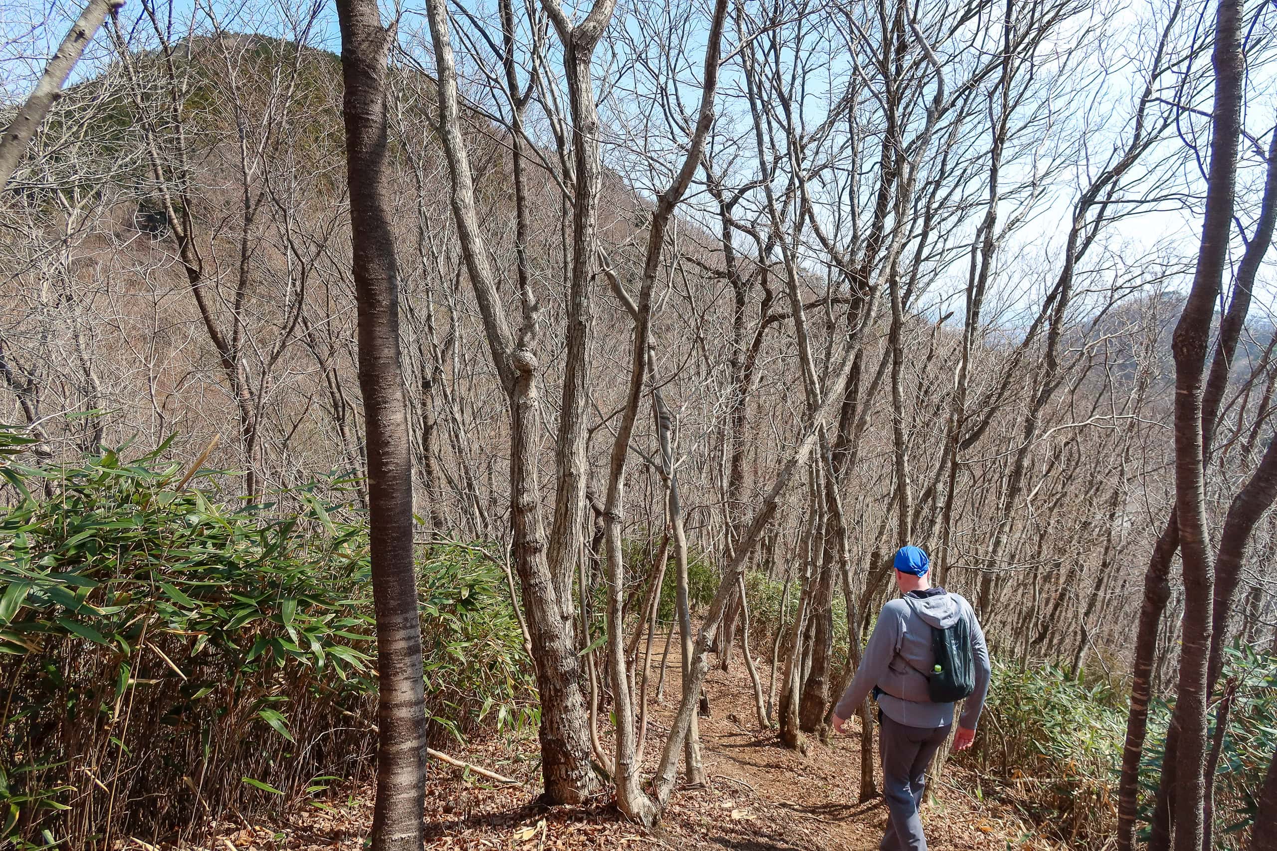
After the viewpoint, the trail led into an area of bare trees. Through the web of branches and twigs we could see the ridge lines of the surrounding mountains.
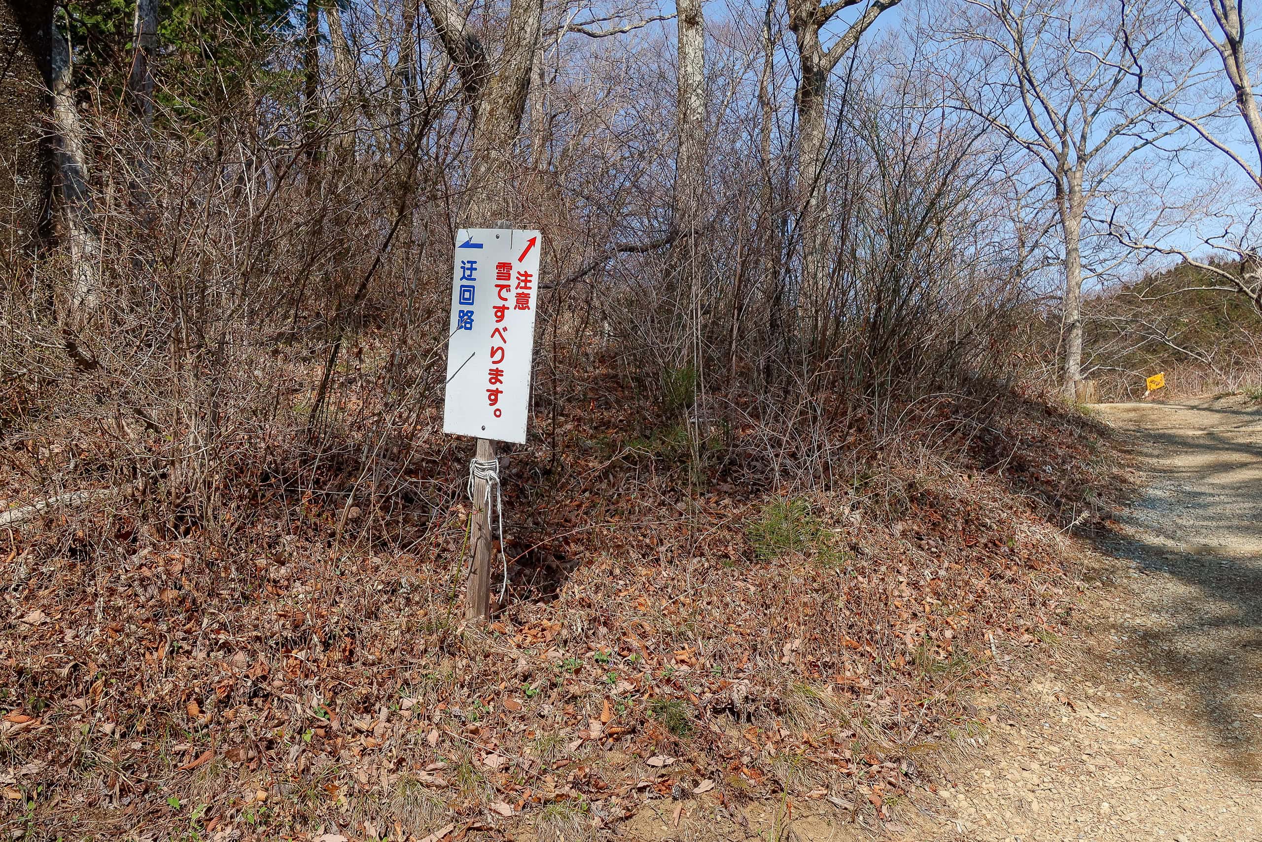
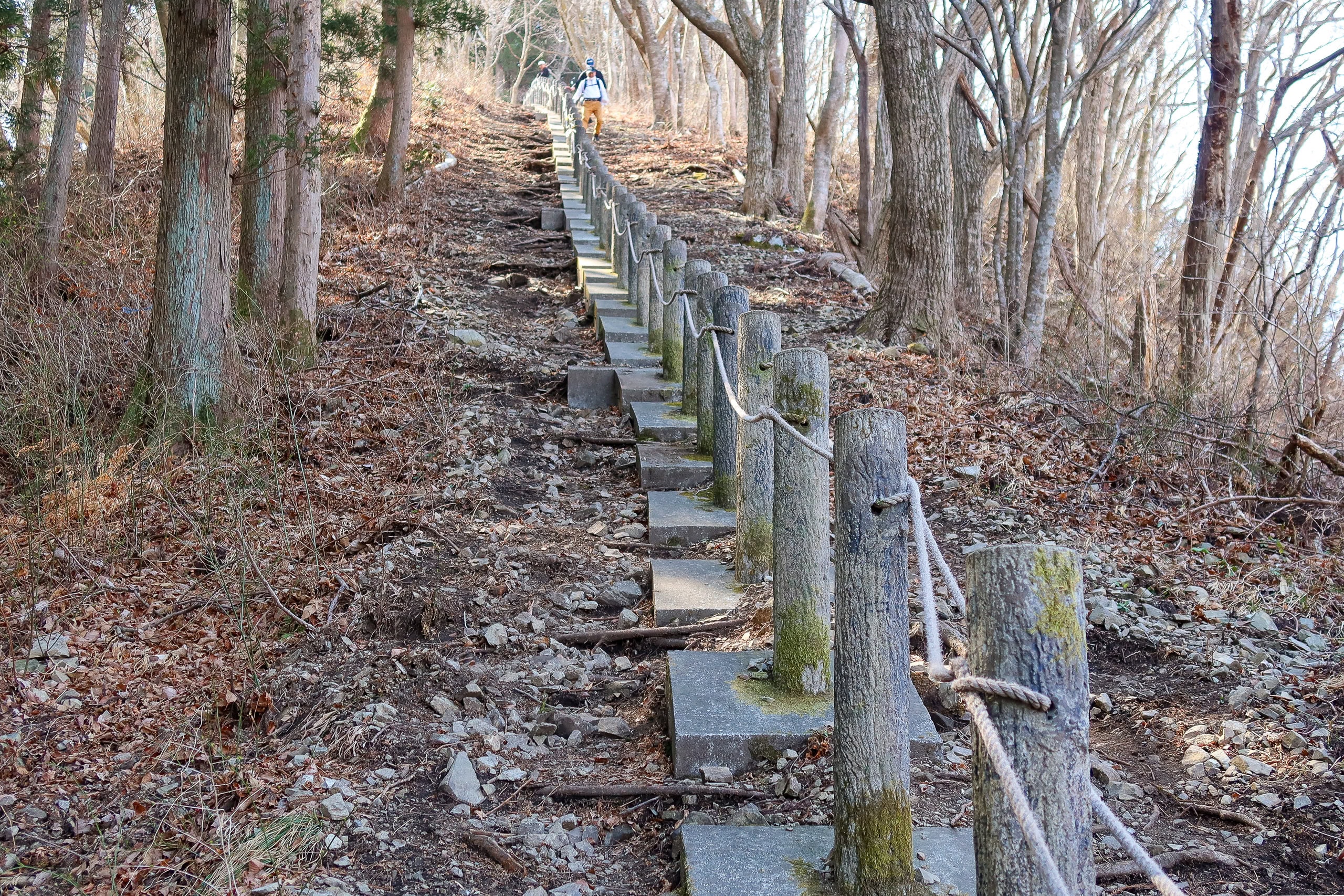
Higher up, the trail was much more exposed, and it was easy to imagine these slopes buried in snow during winter. At several corners, small signs pointed out alternate “safer routes” to use when the snow gets deep or frozen and slippery.
When the path flattened along the ridge and we were nearing the final climb, an elderly hiker — surely in his eighties — came walking down toward us. The style of his clothes and gear caught our eyes; he looked like a mountaineer who had stepped out of a black-and-white photo from the good old days. He passed with steady steps, nodding to us with quiet dignity.

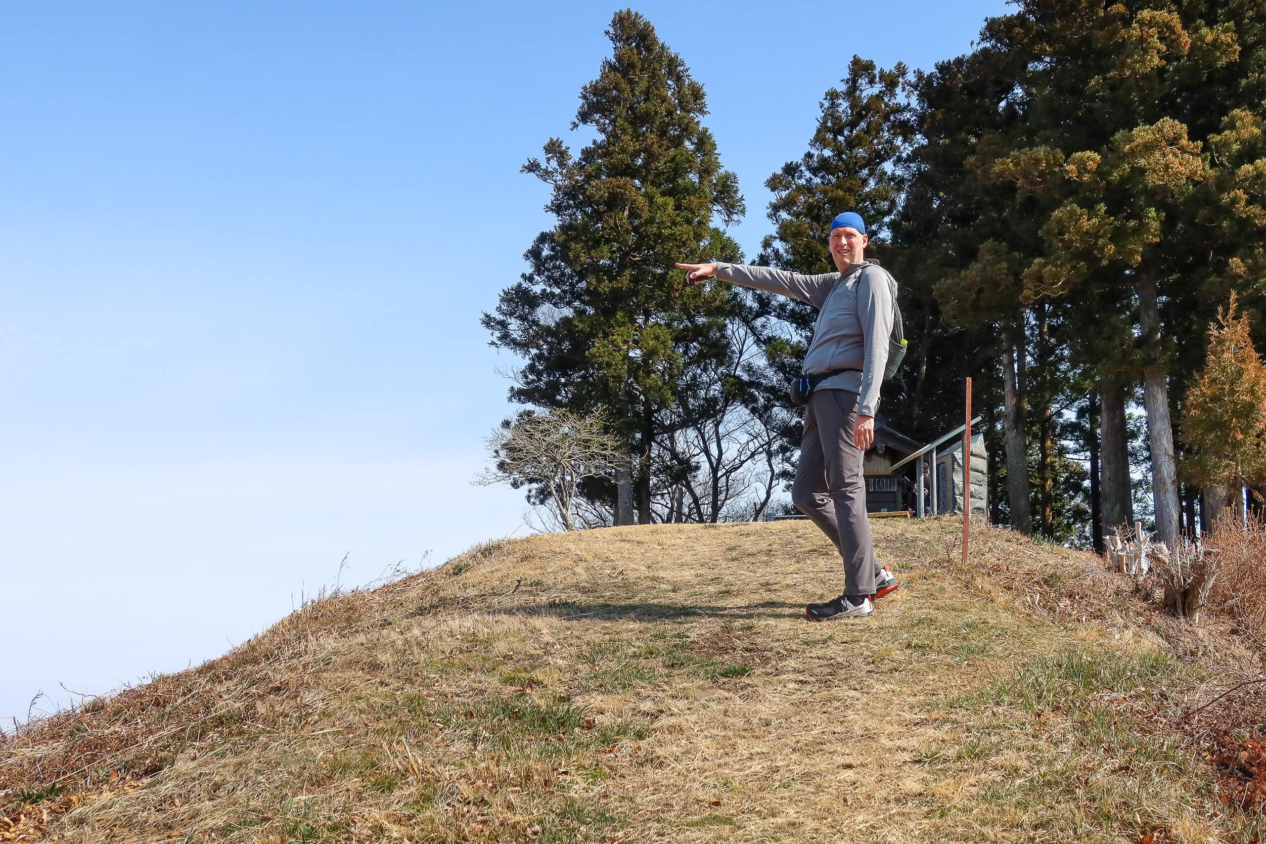
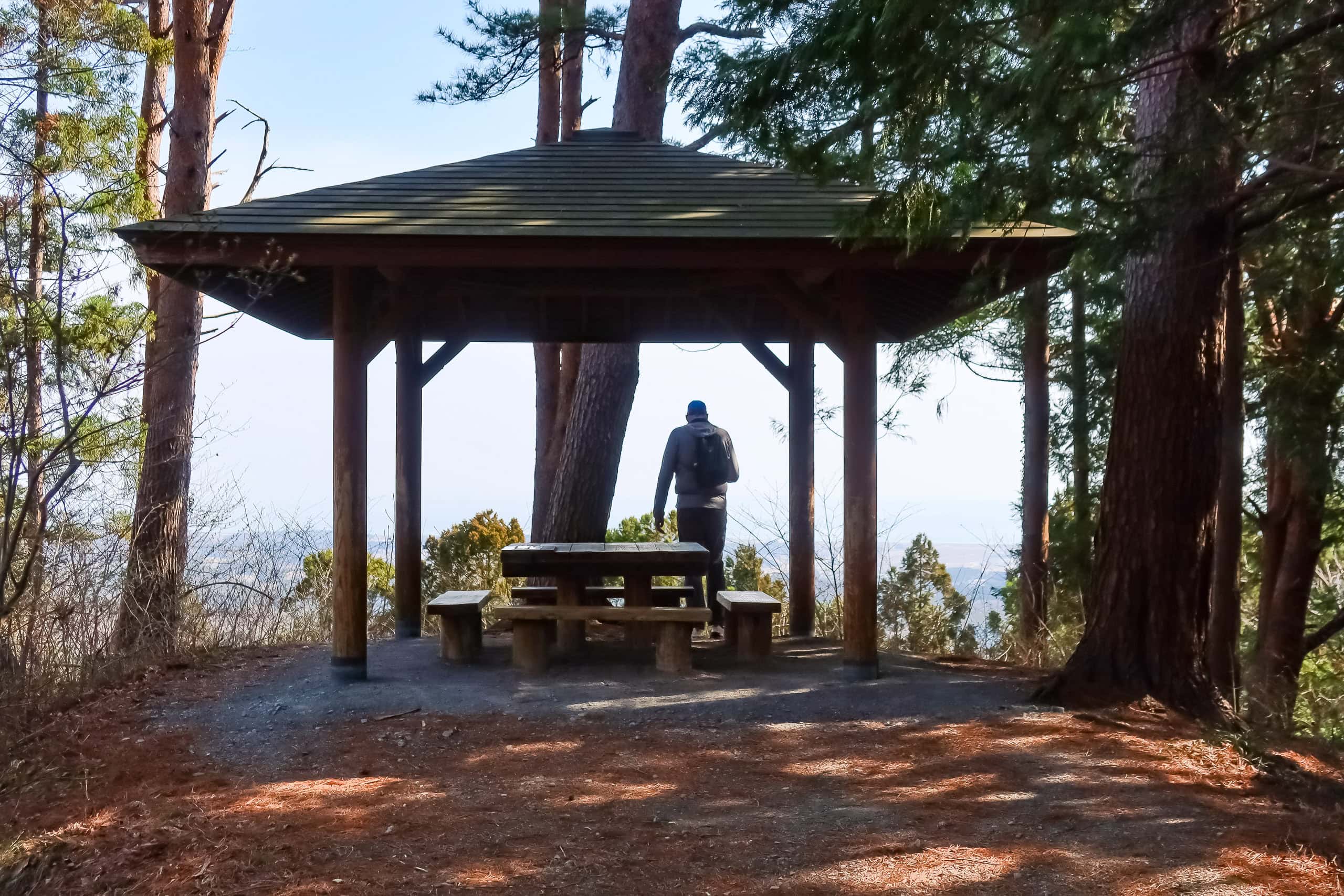
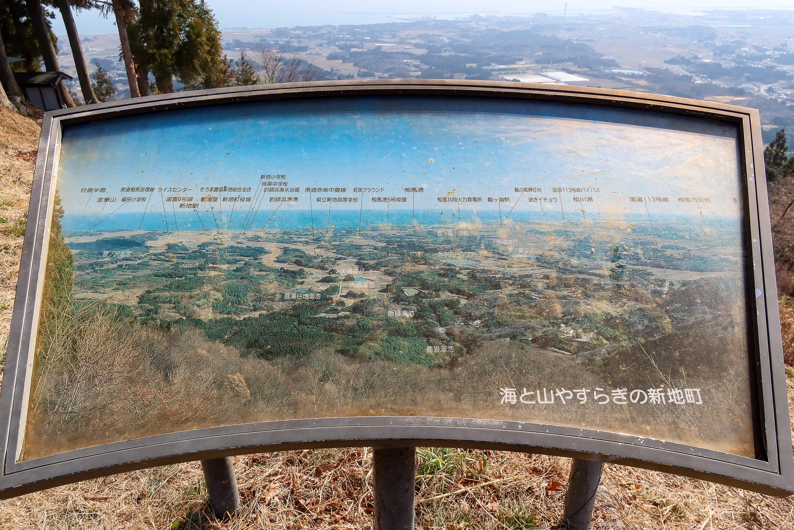
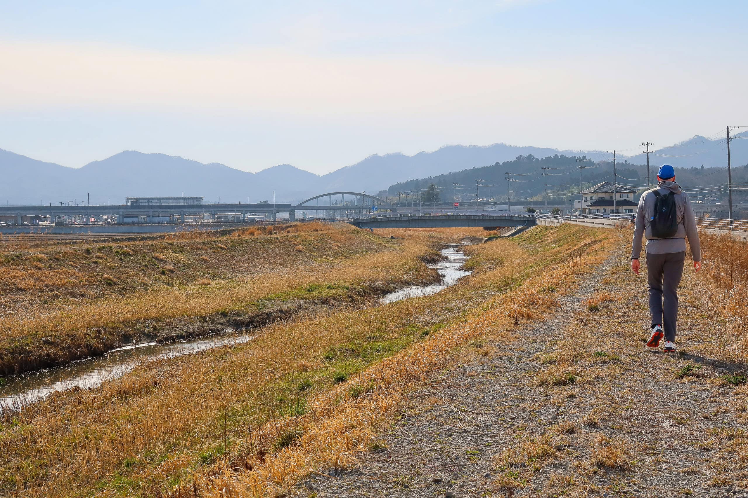
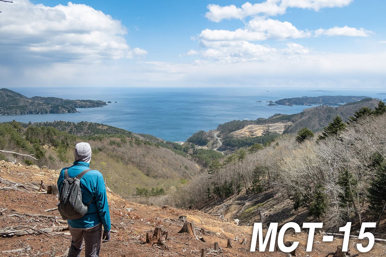
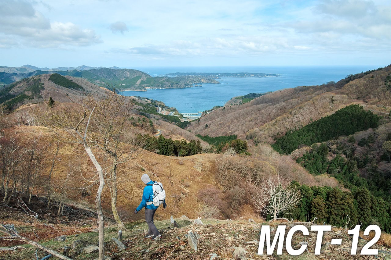
At about 430 meters, the summit of Mt. Karou opened completely—360 degrees of unbroken view.
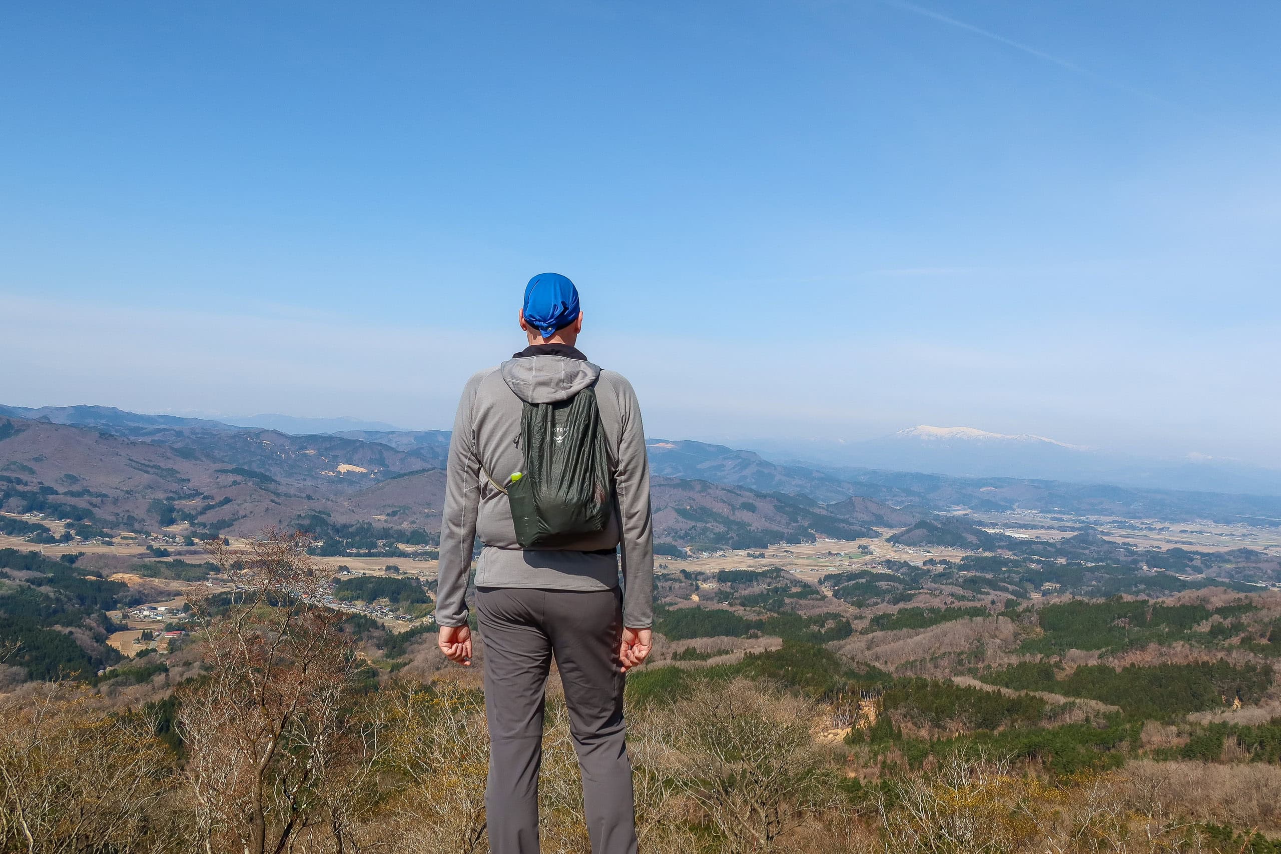
From here we could finally see what had been hidden from the mid-trail lookout: layers of lower hills and wide flat farmland stretching westward, and beyond them, higher ridges still gleaming white with snow.
We pulled out our iPhones and checked Google Maps to find which mountains they were. The tallest was Mt. Zao 蔵王, and the others belonged to the Azuma Range 吾妻連峰.
Seeing from here the same mountains we had visited only three months earlier felt almost surreal. We’d gone there over New Year’s to see the famous “snow-monster” trees from the gondola and to try my first-ever snowshoe hike through the quiet forest around the five-colored lakes.
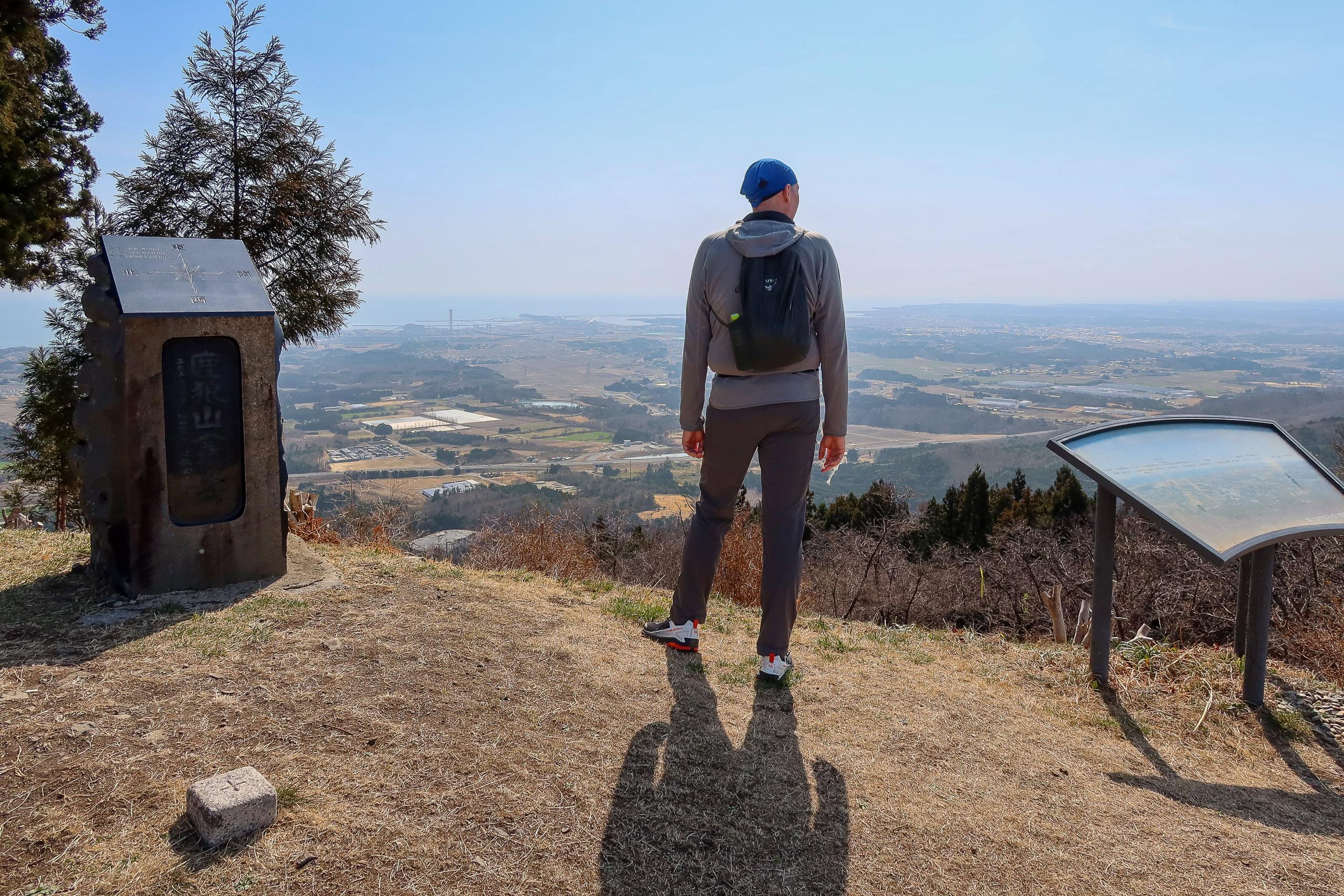
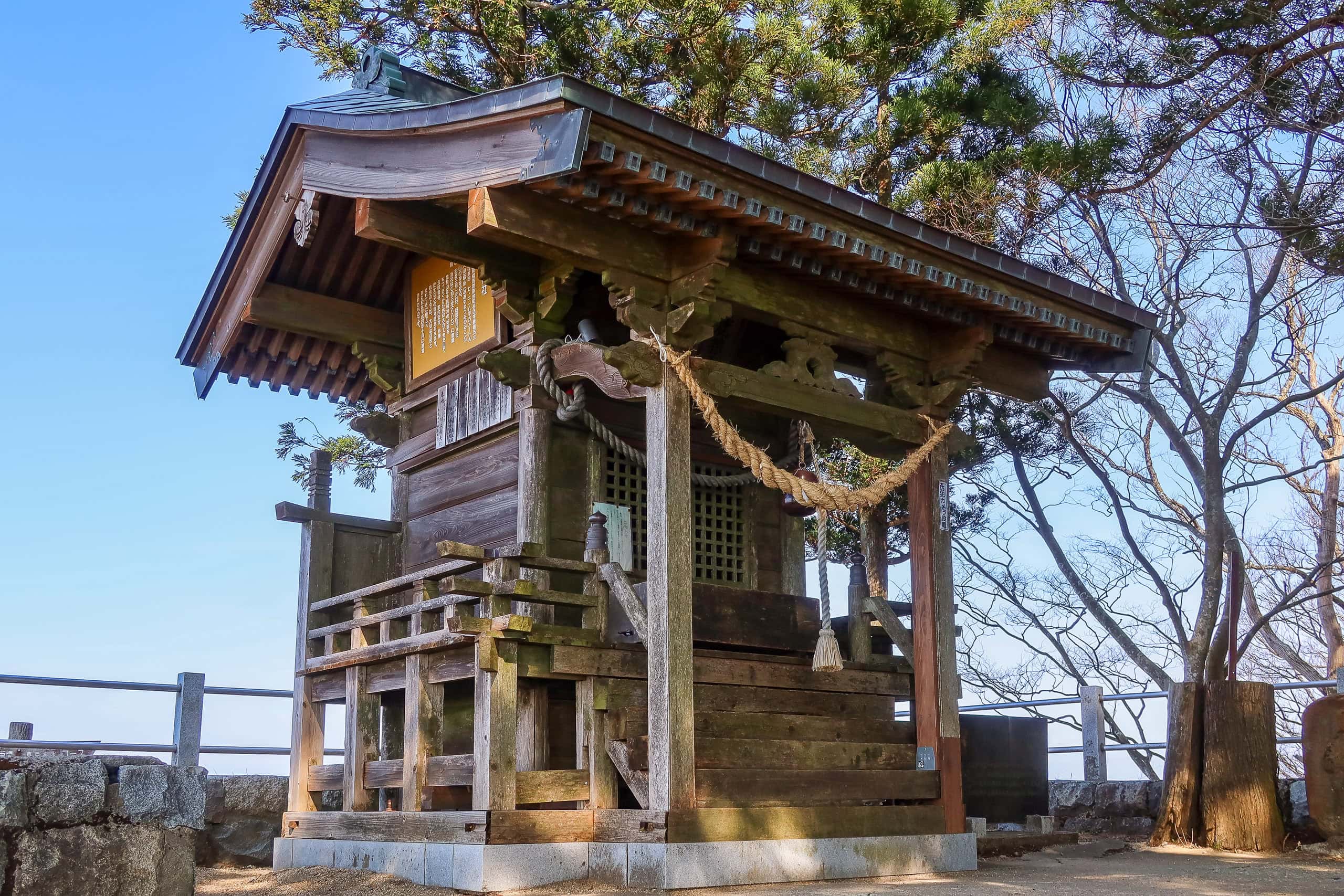
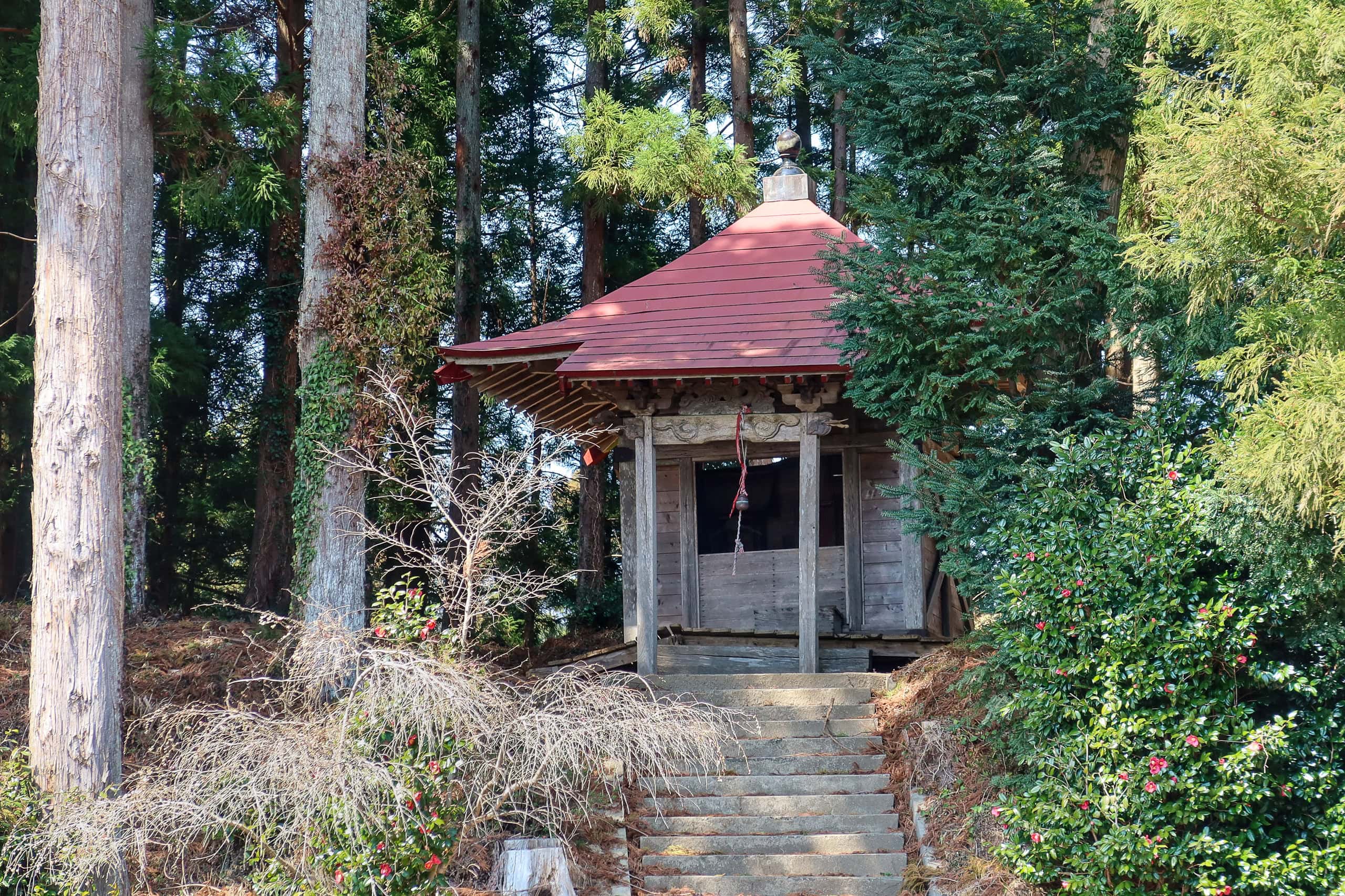
We lingered for a while, soaking in the panoramic view. At the top stood small shrines for the mountain’s deity and an information board explaining its legends. A couple of picnic tables and a roofed shelter with benches made it an easy spot to rest, and several groups were already settled in, enjoying morning tea under the clear spring sky.
We had to keep going. The part from the trailhead to the summit was actually only one-third of today’s total mountain section. Even after finishing this climb, we still had four to five times that distance to cover on flat ground before reaching our goal point for the day.
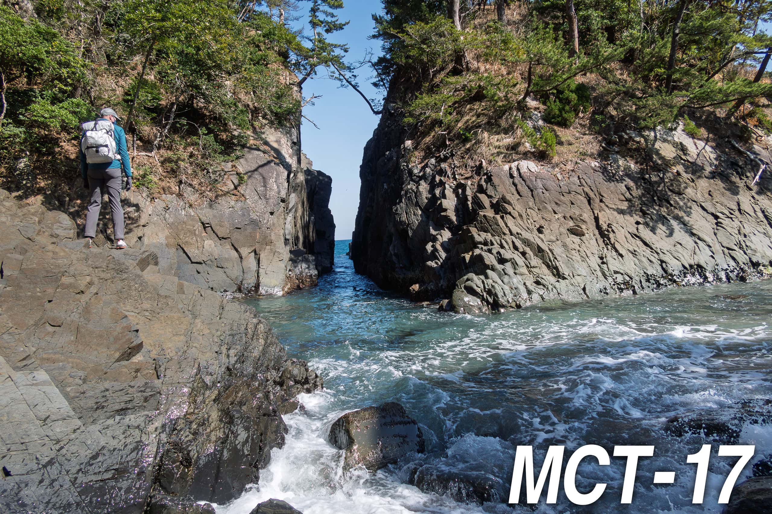
To stay on the MCT route, we followed the trail marker at the mountaintop pointing north.
The path immediately dropped steeply. Just as the MCT map book had warned, the descent was brutally sharp. Loose gravel on the earthen trail made it so slippery I had to clutch the rope tightly to avoid sliding down.
It suddenly made sense why most local hikers prefer to descend the same friendly forest route they used on the way up, instead of looping this way. This trail clearly chooses who gets to walk it.
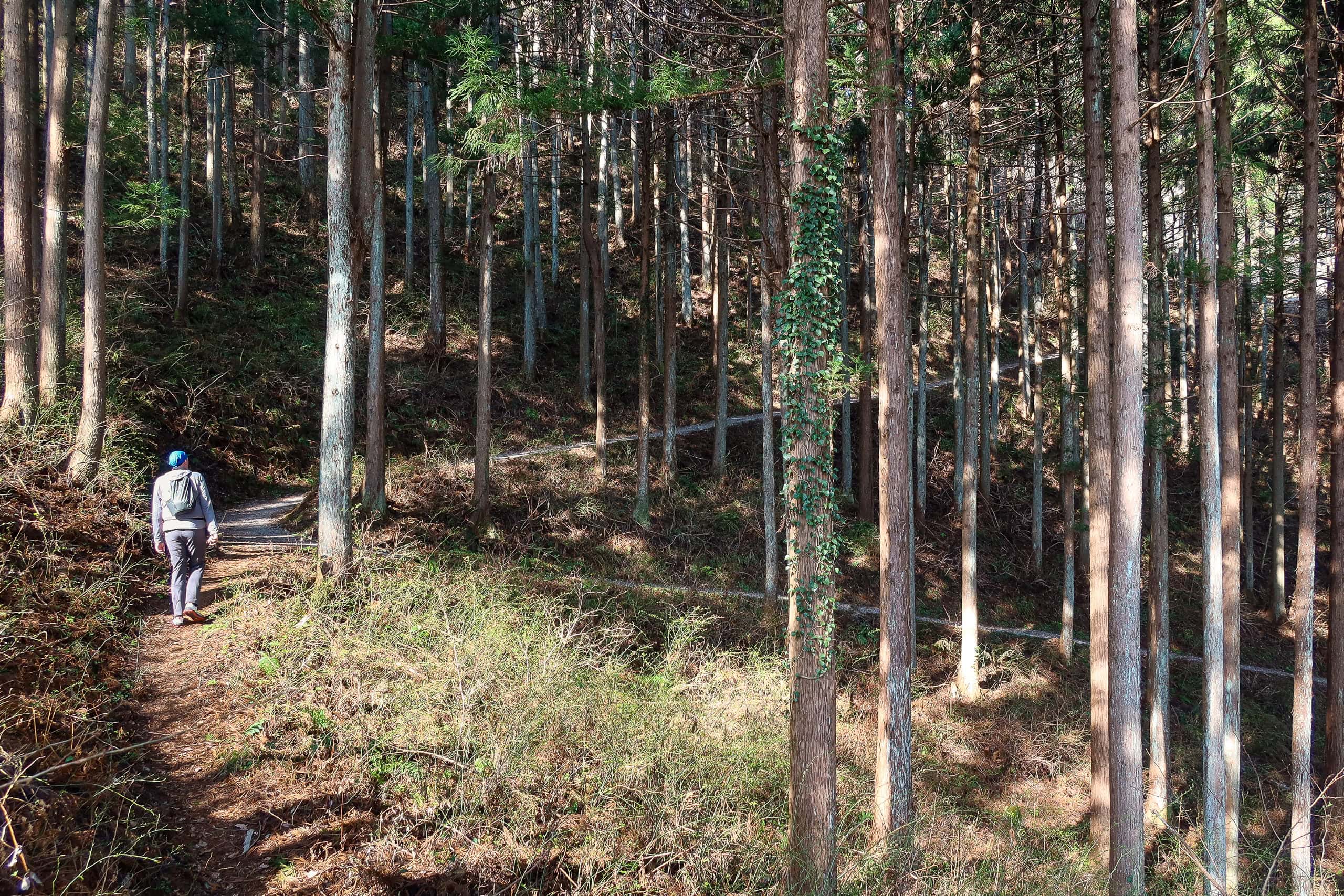
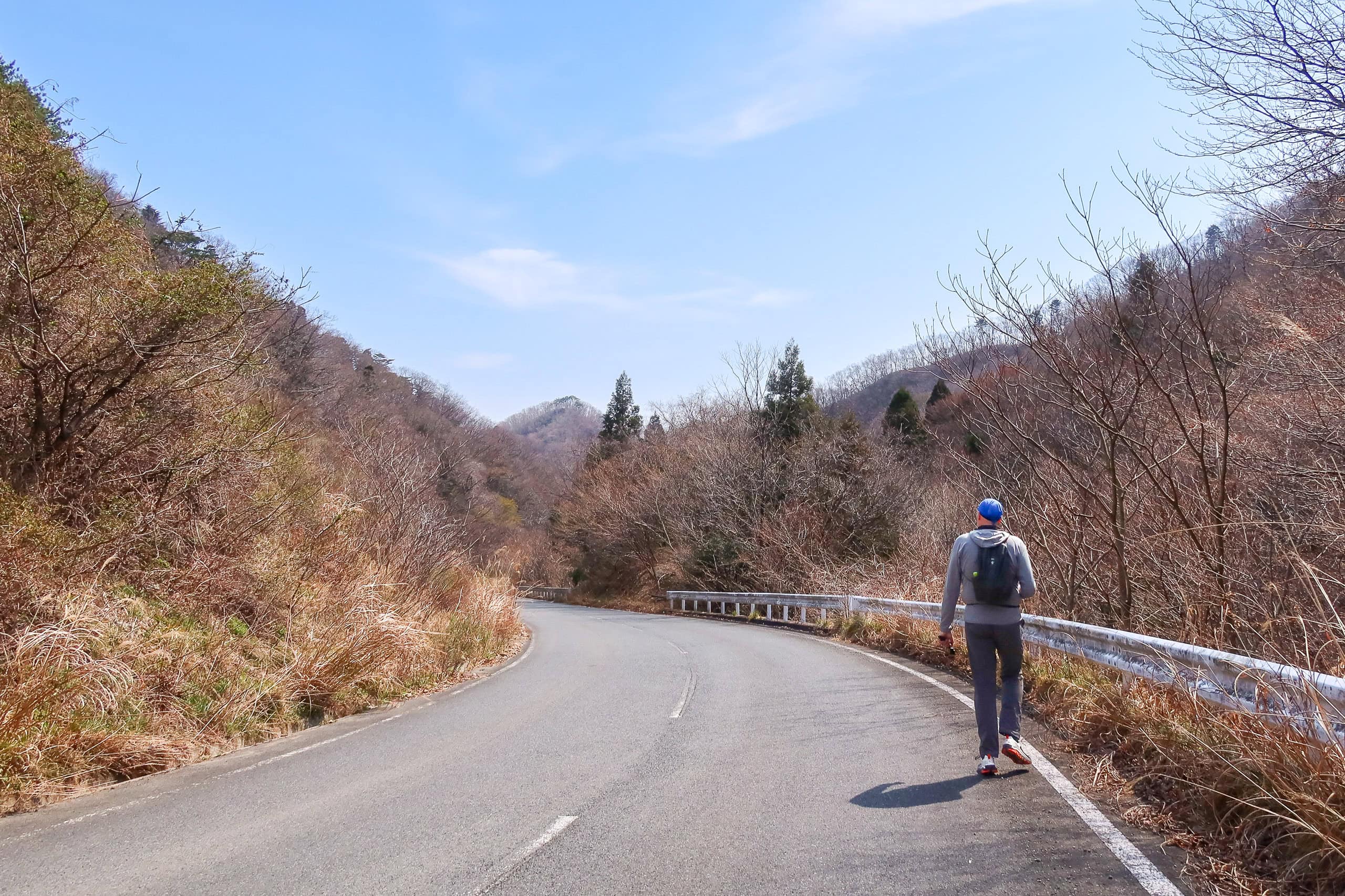
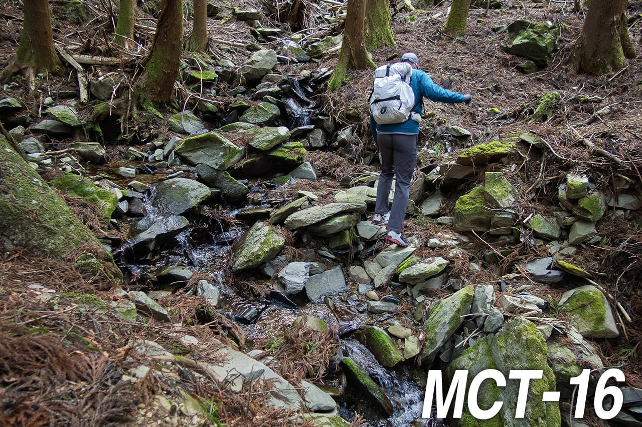
Thankfully, the steep part ended sooner than we feared, and the path leveled out along a ridgeline.
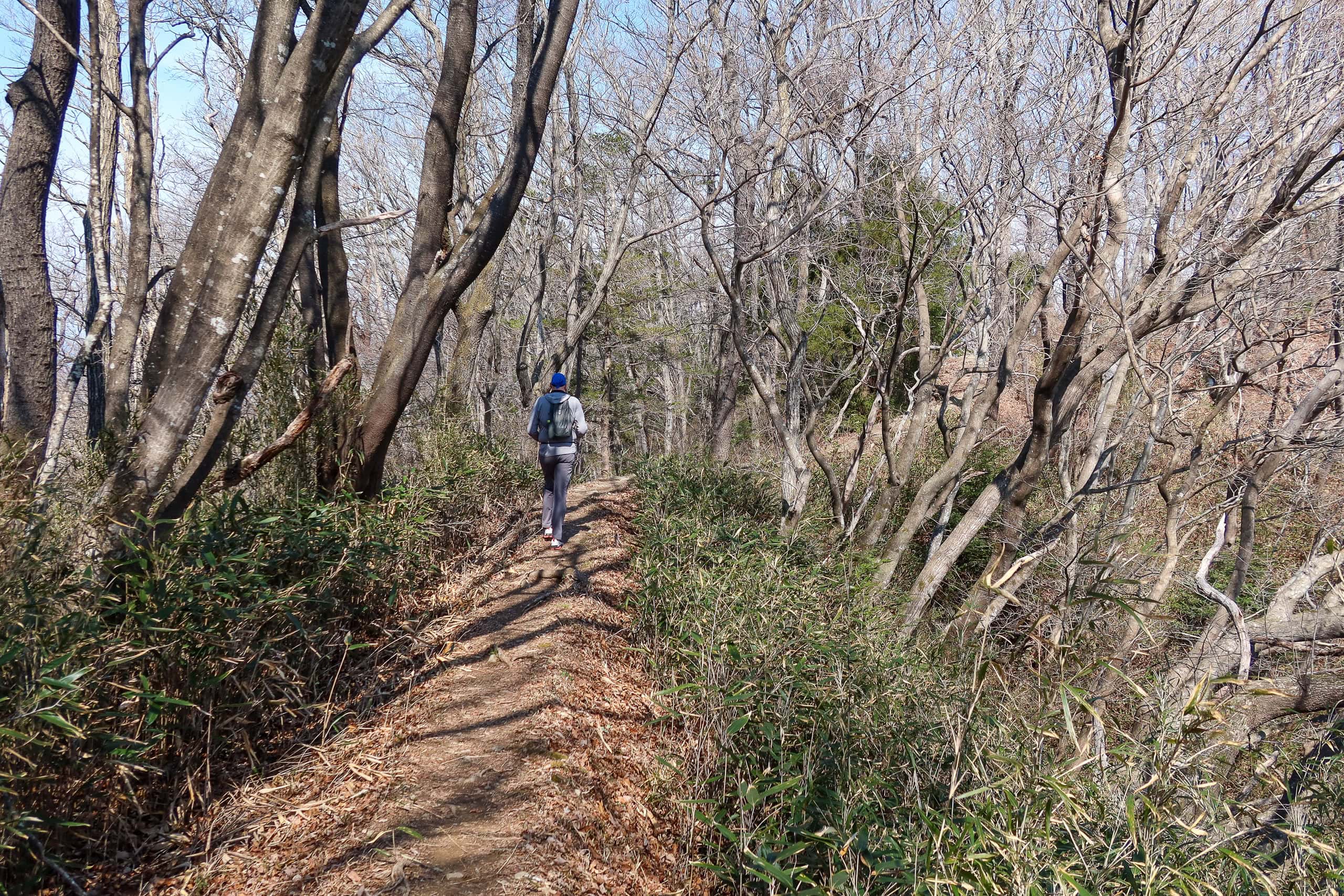
On this side, the trail was narrower and looked less traveled, winding through quiet woods without major ups or downs. Most of the time it was just wide enough for the two of us to walk side by side, though at some points the ground fell away sharply on both sides — a good reminder not to get too relaxed.
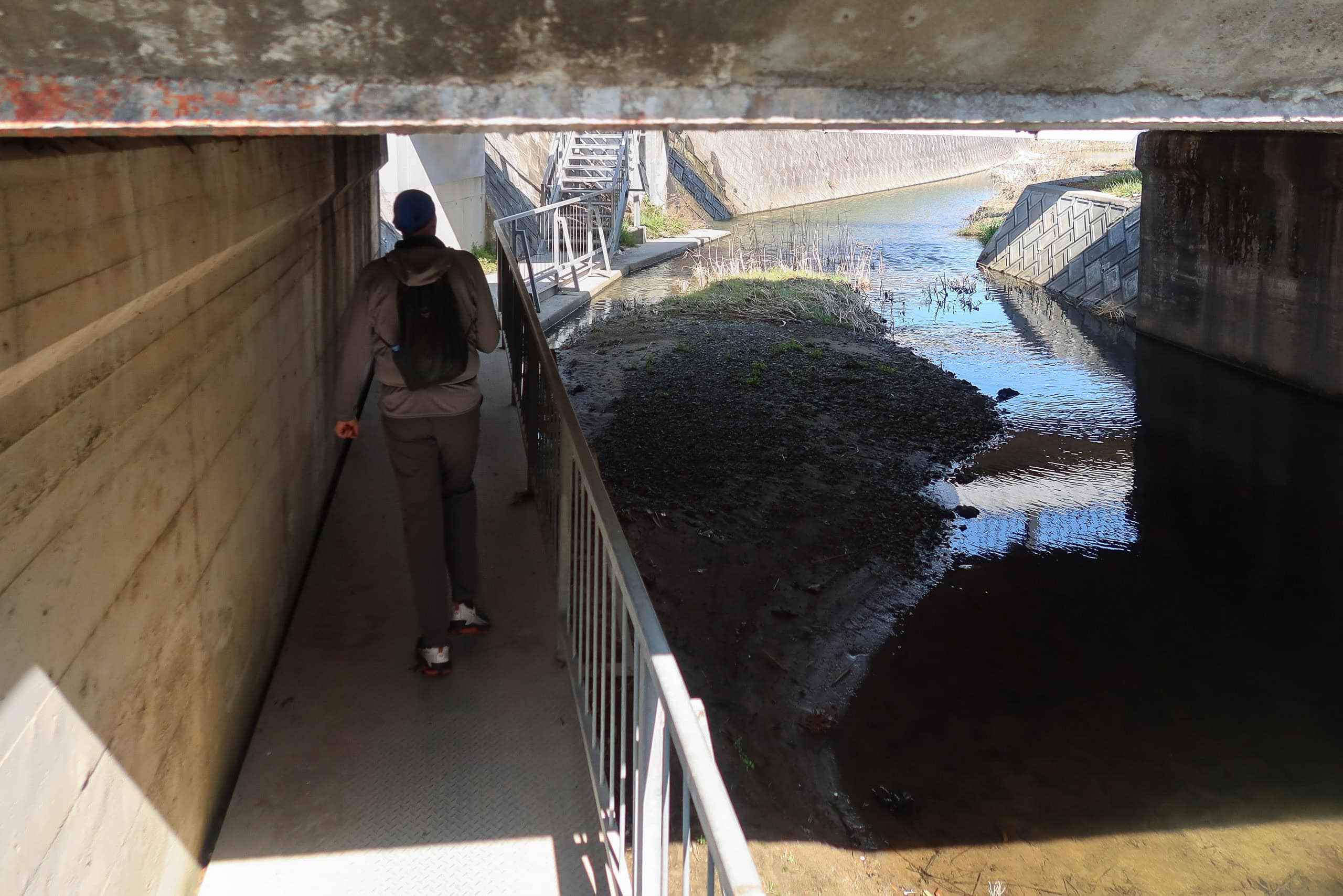
After about an hour along the ridge, we began hearing the faint sound of cars far below. Soon the path turned sharply downward again. The slope was so sudden I didn’t even have time to grab my trekking poles from the side pocket of my backpack before realizing there was no safe spot left to stop.
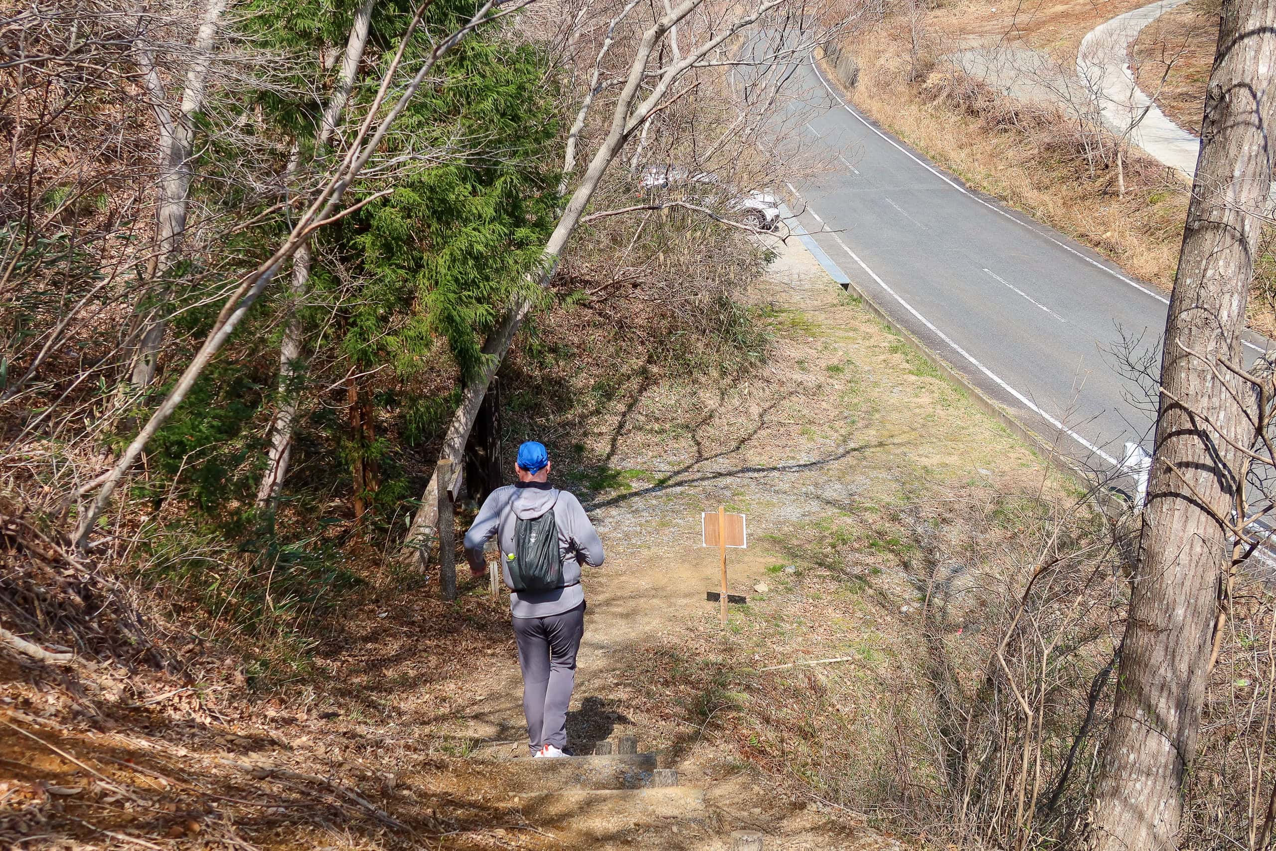
By the time we reached the next trailhead at Suzuu Toge pass 鈴宇峠, my legs were shaking from the constant pressure on my knees and toes.
Spring wells and cherry blossom pond
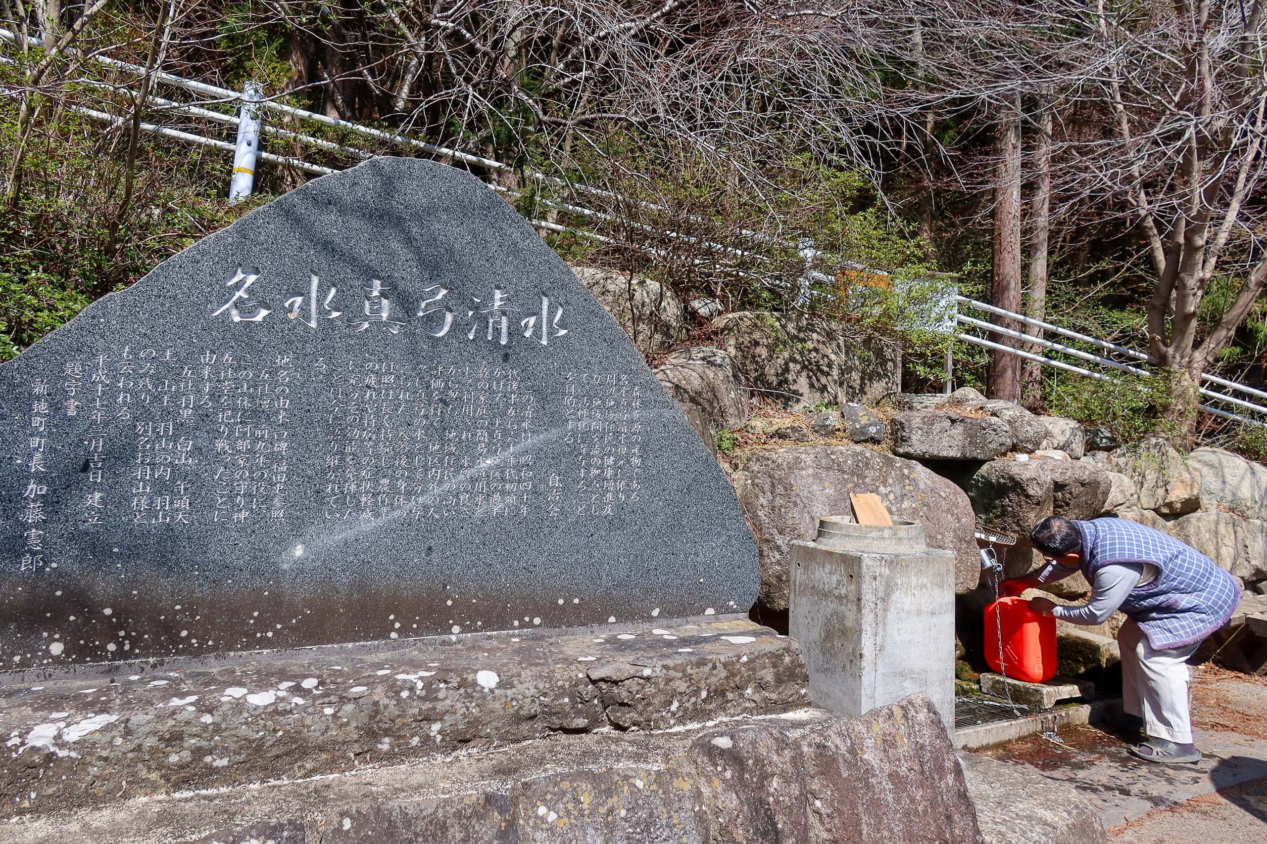
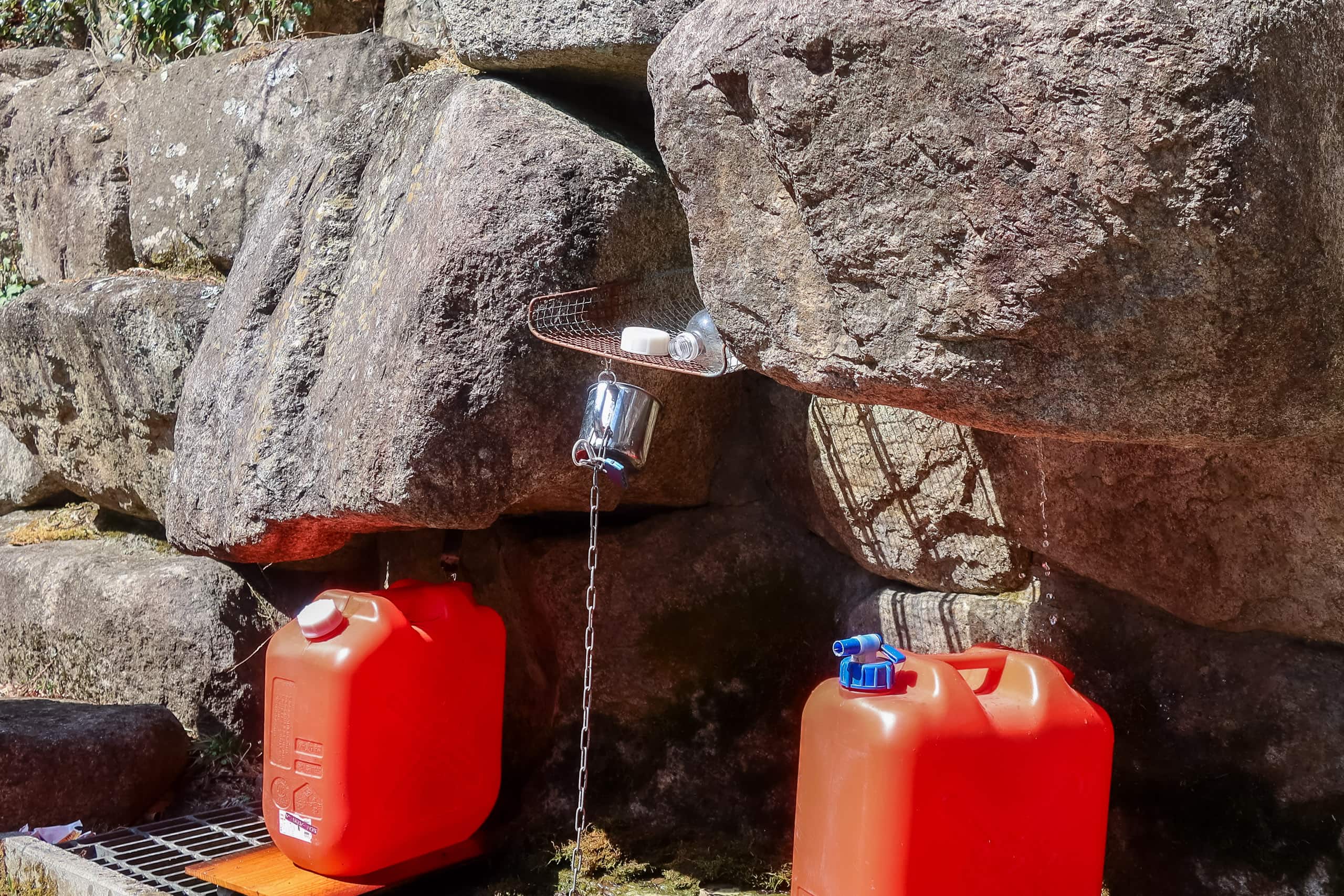
We had come down from the mountain trail but were still far from the coastal town. The path gradually turned into a narrow paved road running along a valley, and before long we passed a spring called Mayumi Shimizu 真弓清水. The name sounded like a common Japanese woman’s name, but it was actually a natural spring flowing from the foot of the mountain.
A stone monument beside it proudly declared the water’s quality, and a local elder was patiently filling two large water tanks. The flow was slow that day, so we left before he managed to fill them — without tasting the water ourselves.
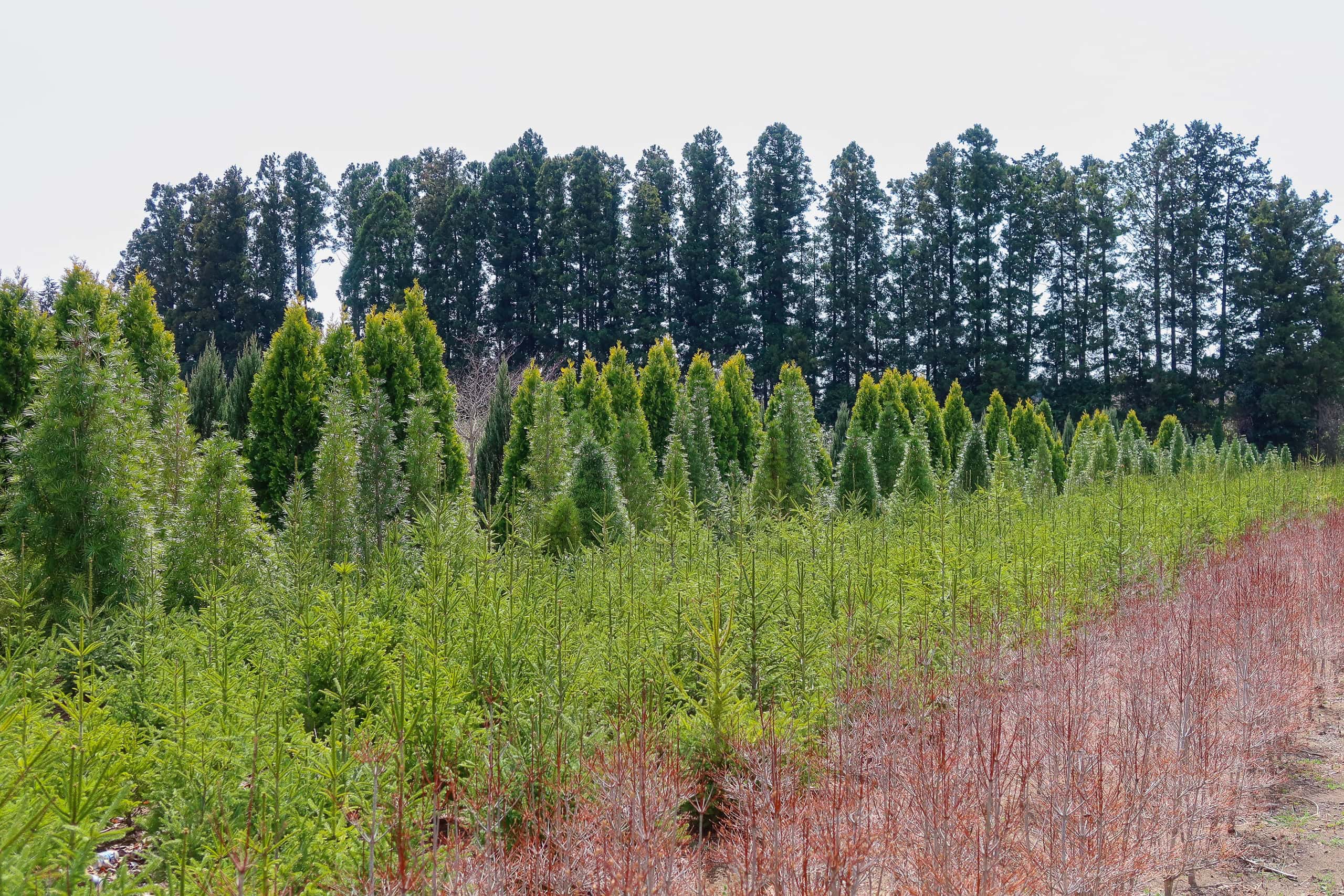
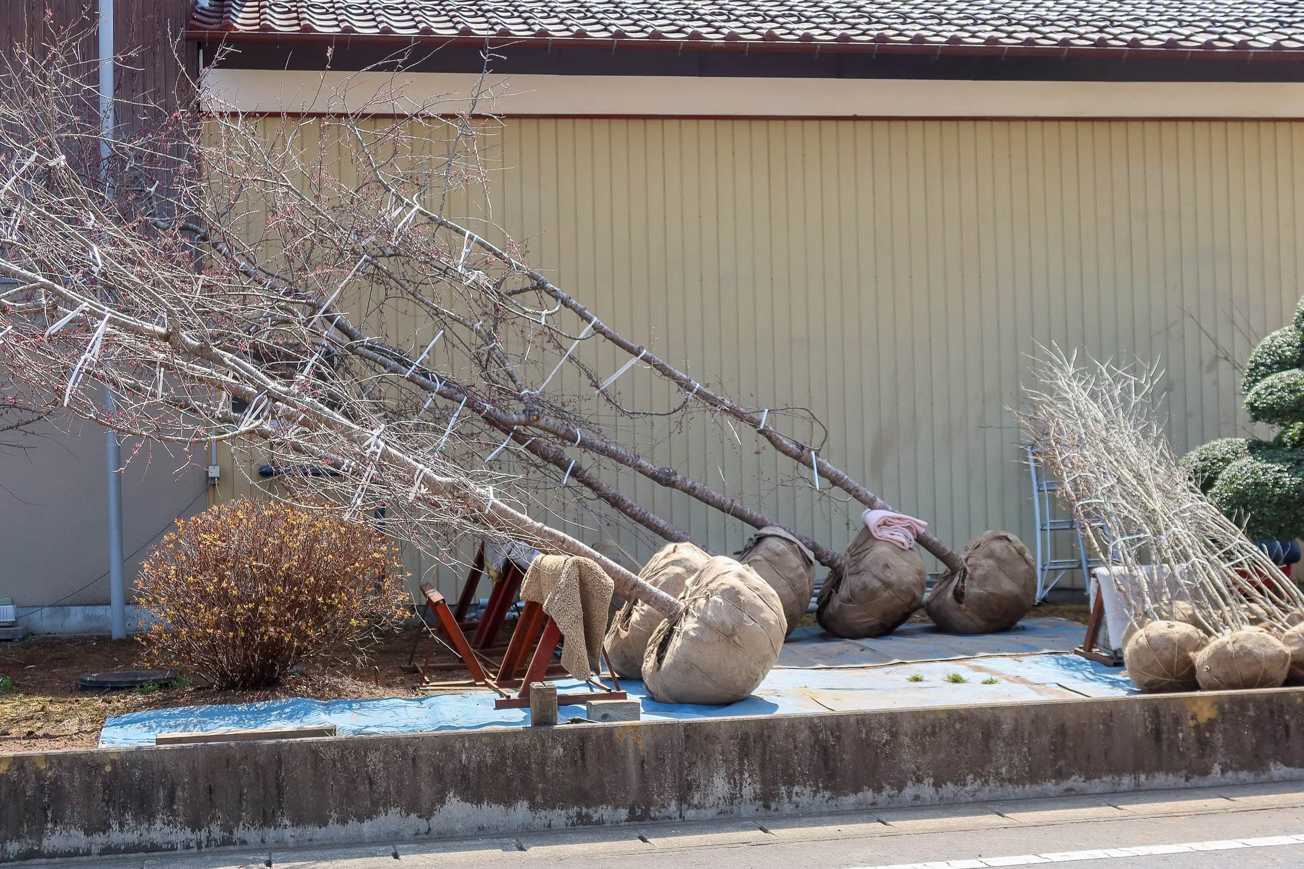
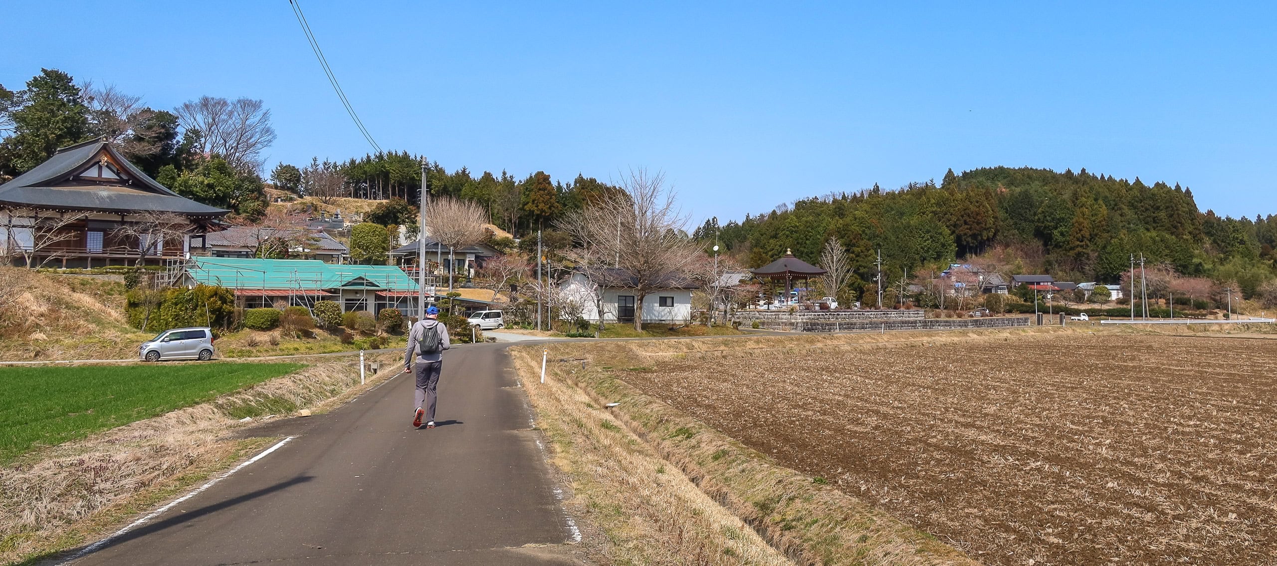
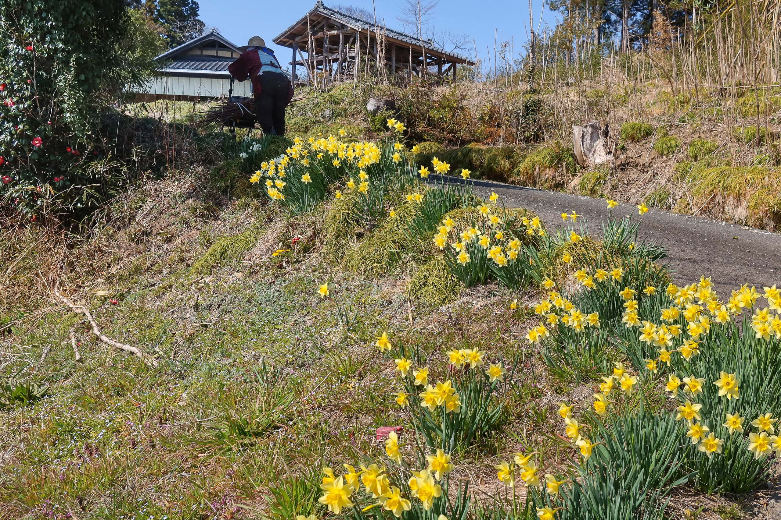
As we strolled farther down from the mountains, we came out into open, flat land dotted with garden tree farms and quiet hamlets.
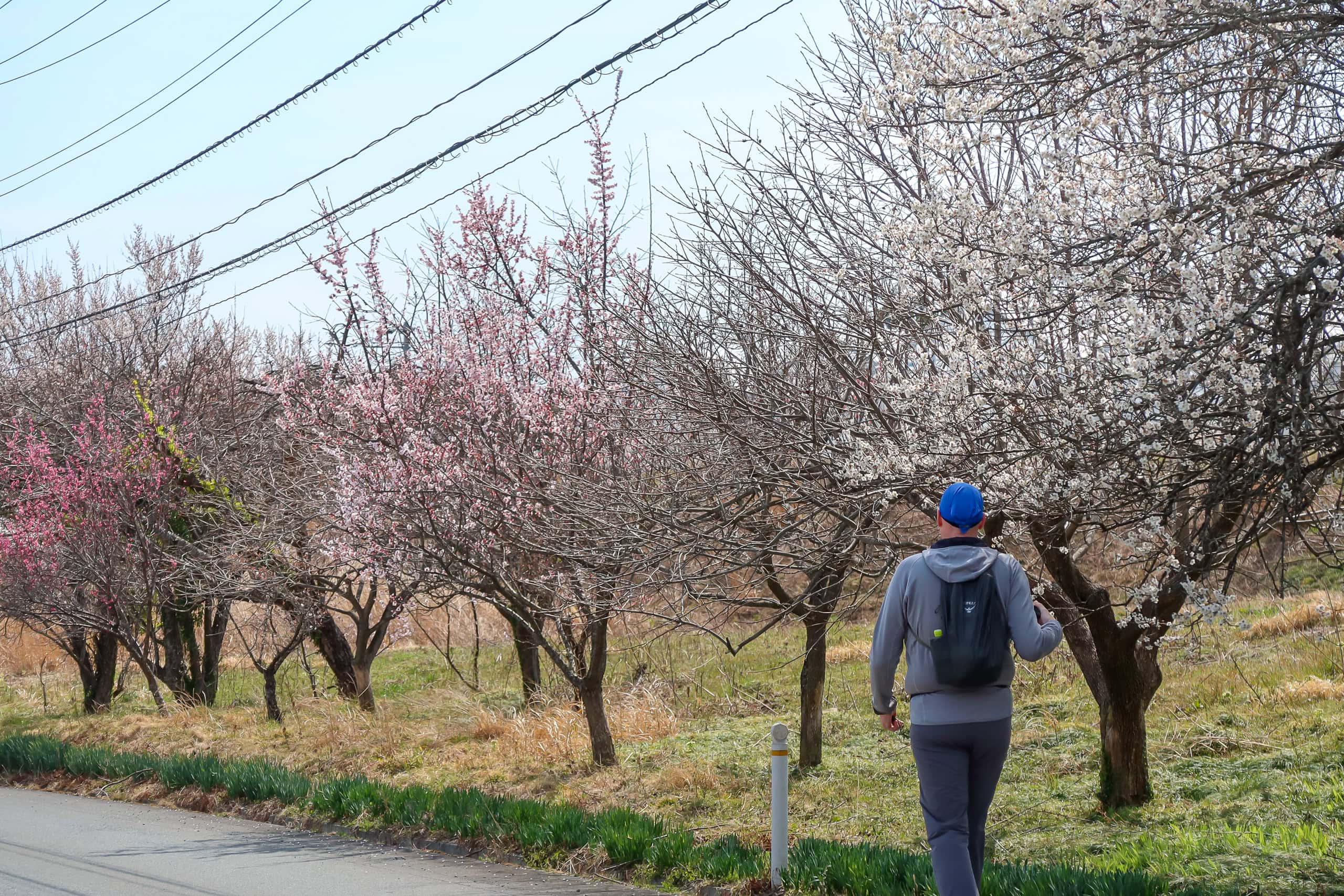
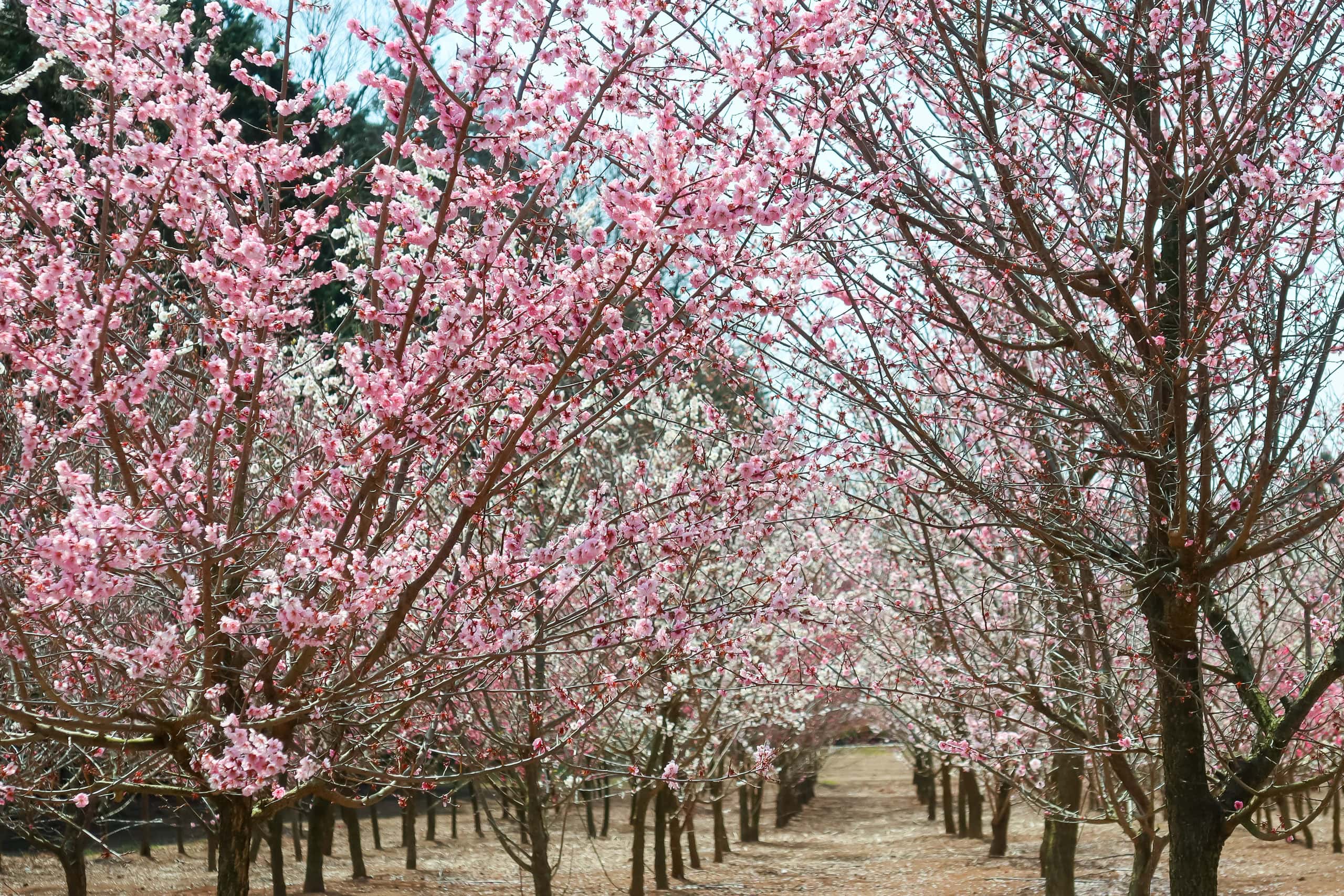
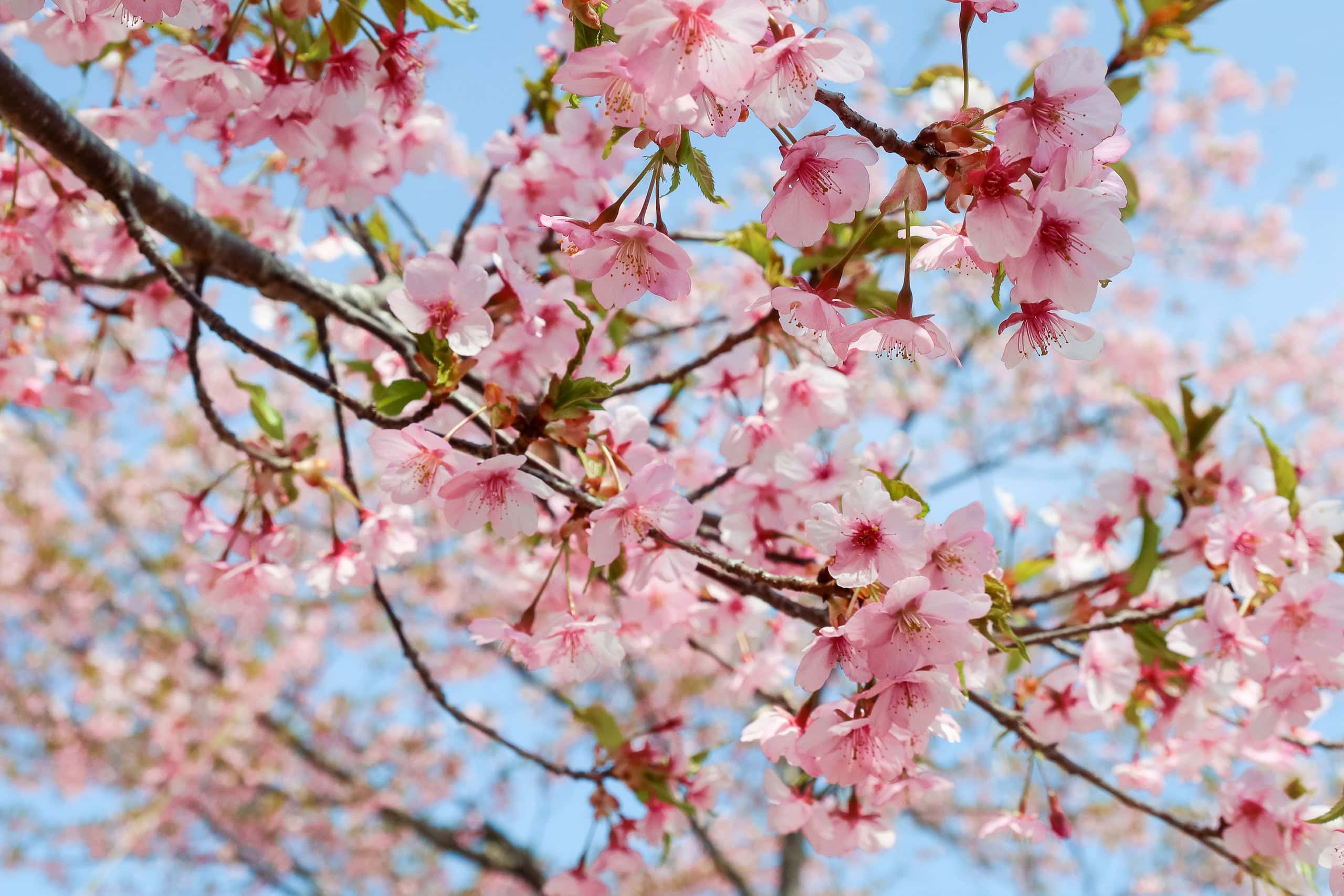
Rows of young trees — the kind often used for hedges in Japan — stood neatly aligned. Then came a breathtaking sight: cherry and plum trees bursting with blossoms, filling the air with their soft, sweet fragrance. For a moment we simply stopped to take it in.
I realized that yesterday’s last section — the fields of young, thin trees we had seen from the mountain — must have been part of this same area.
The MCT route often leads hikers past small local highlights. The first was Mayumi Shimizu, and clearly this area has long been blessed with good mountain water. Several other natural springs are scattered nearby, and the next one was our next stop.
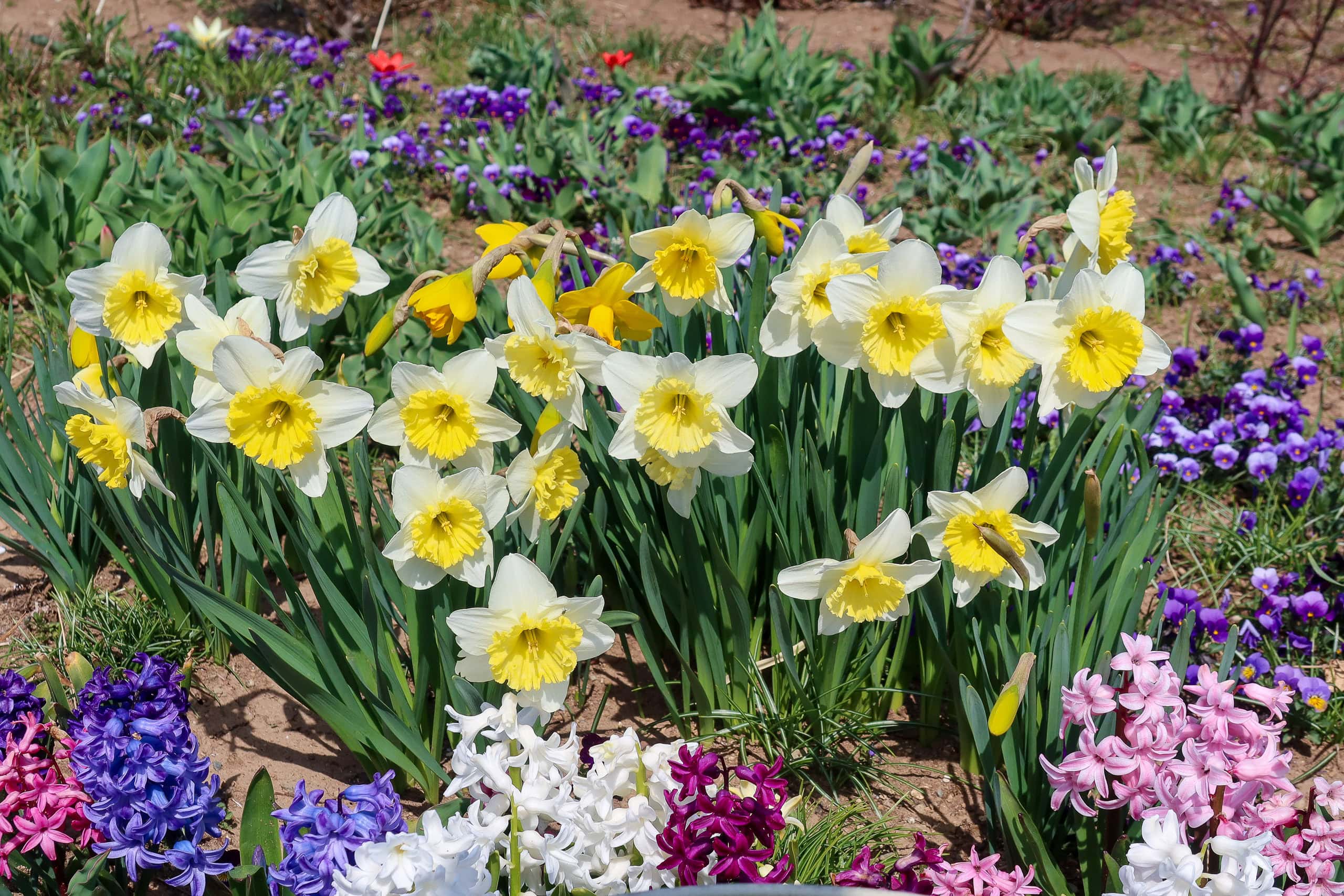
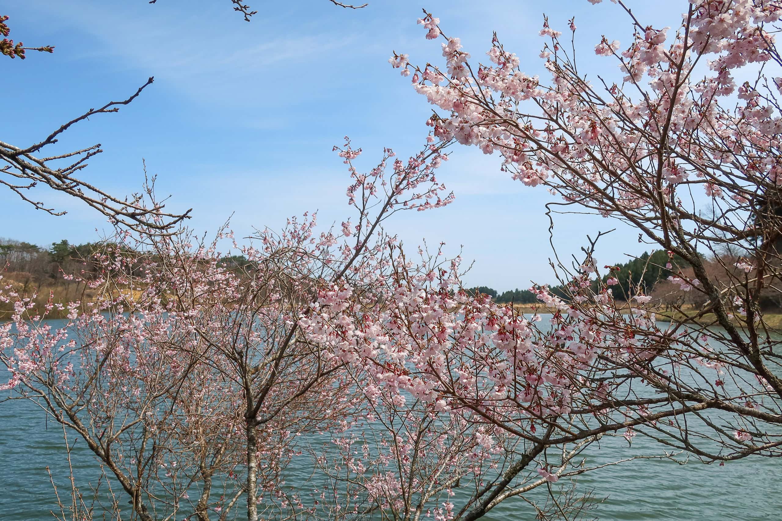
The following spring was said to be beside a large, man-made pond — roughly the size of a baseball field. Dozens of cherry trees surrounded the pond, though most were still only budding.
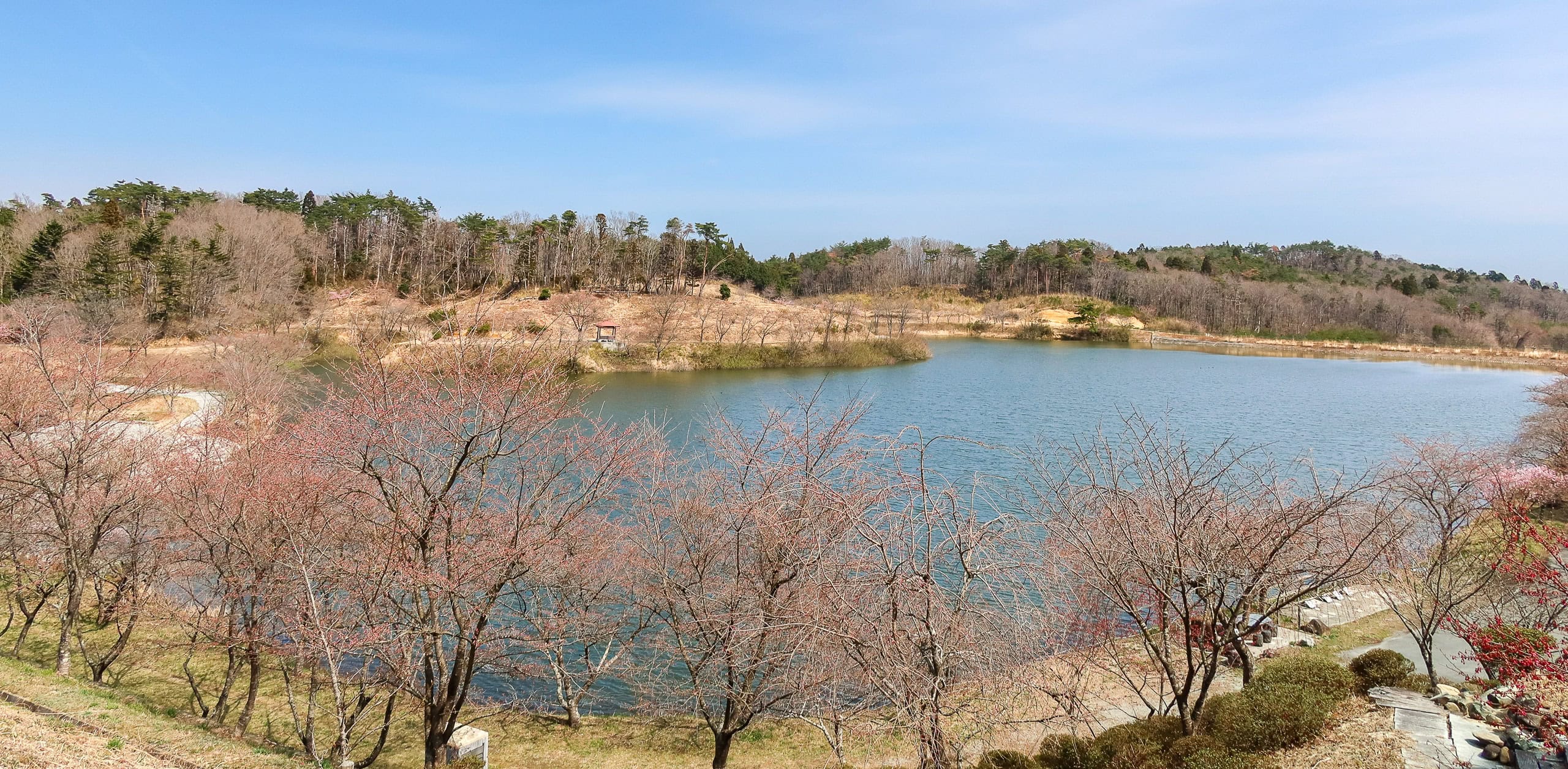
But at the entrance to the walking paths, a small mound was half-covered in fully bloomed early-blooming cherries, their vivid pink petals dazzling in the sunlight. It was another gift for our eyes on a day already full of flowers.
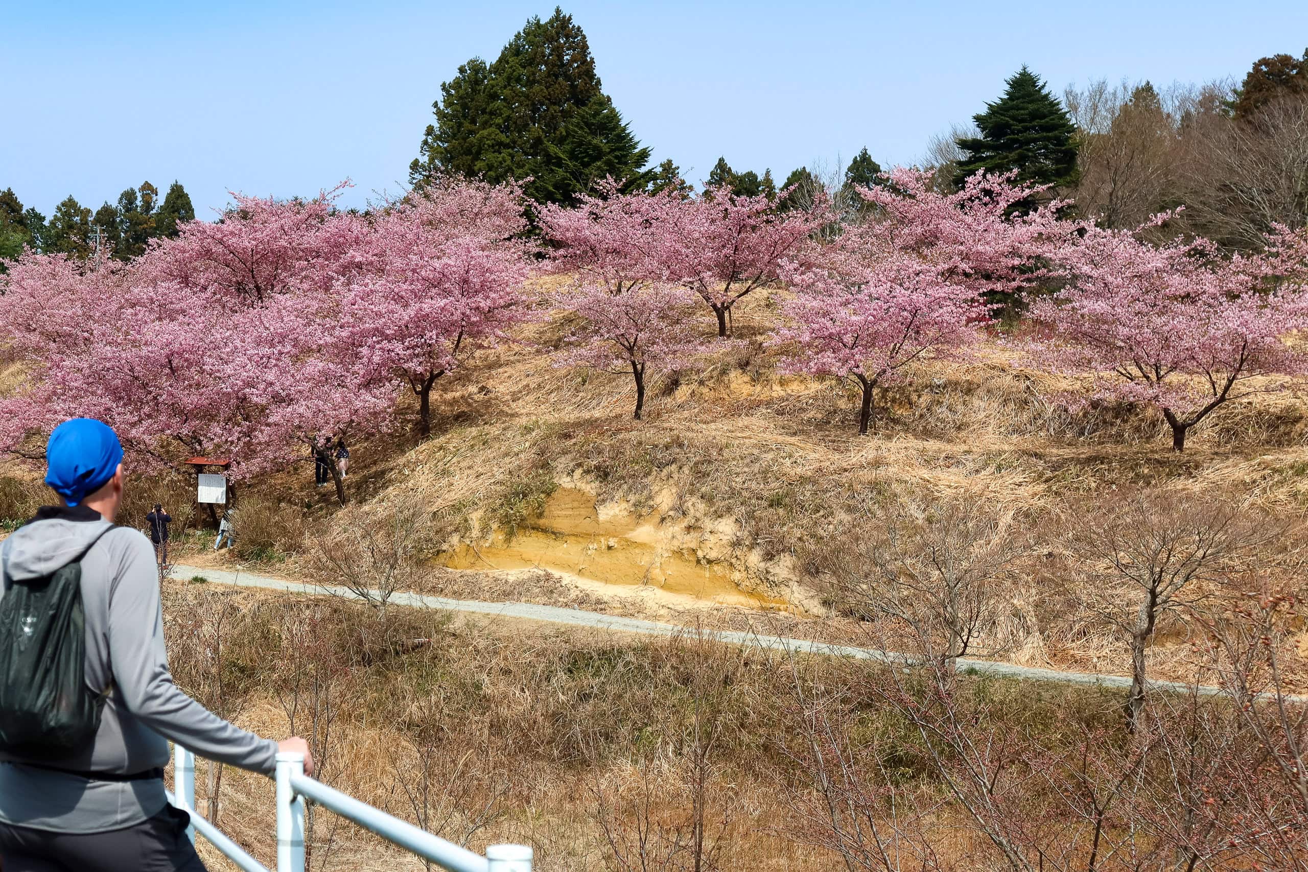
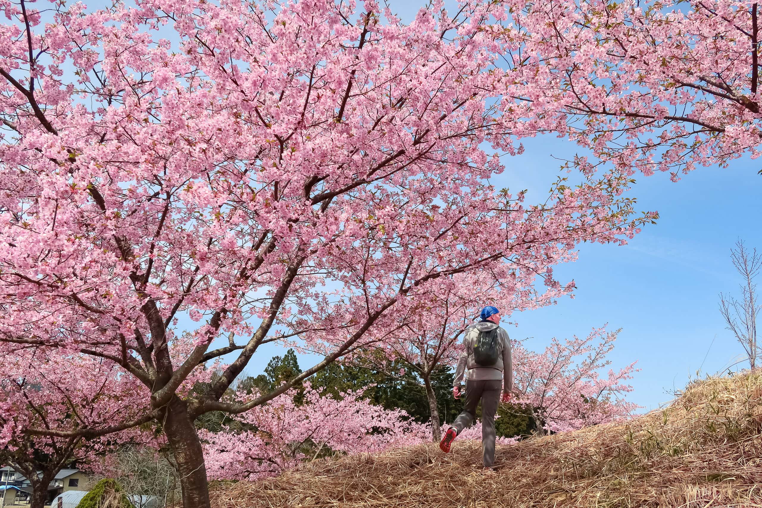
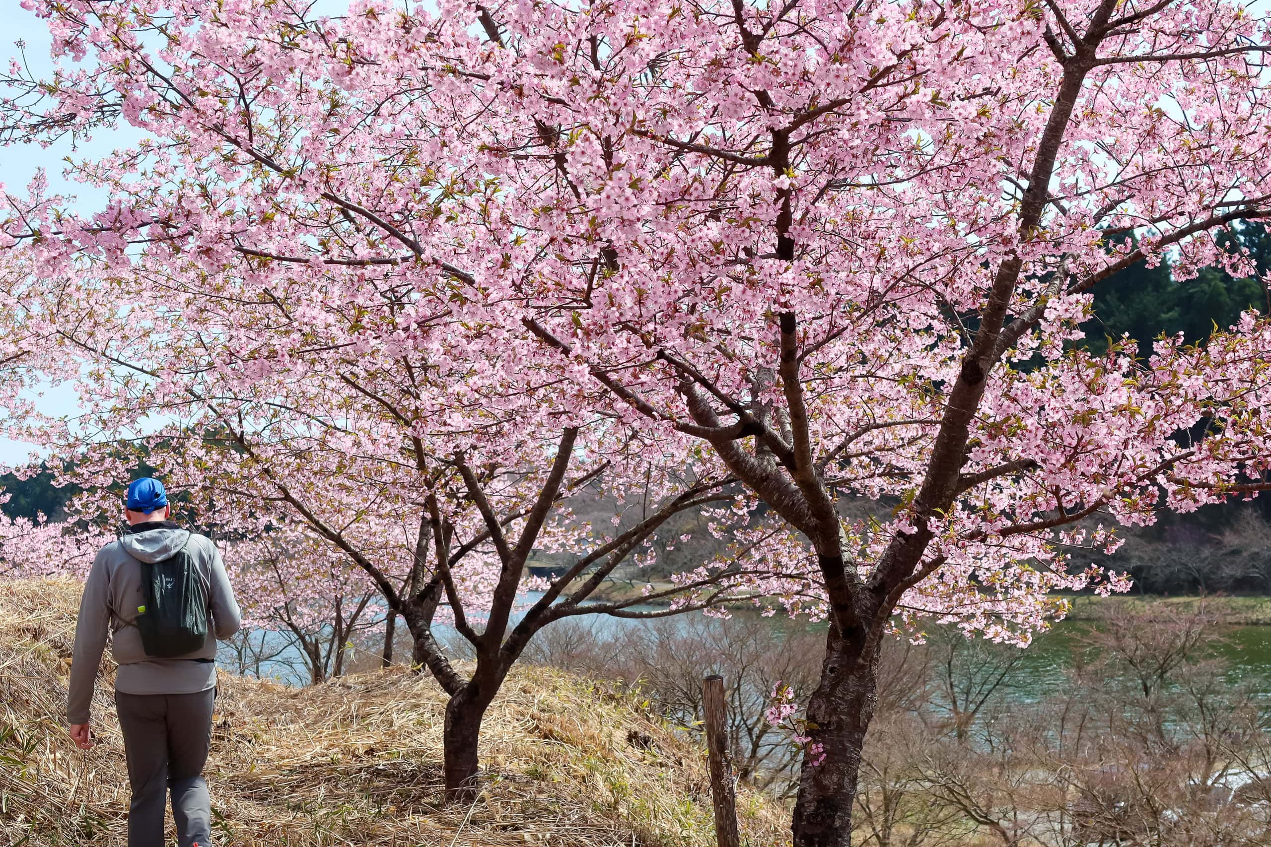
Judging by the hundreds of fat buds on the trees around the pond, this place would be breathtakingly beautiful in a week or two.
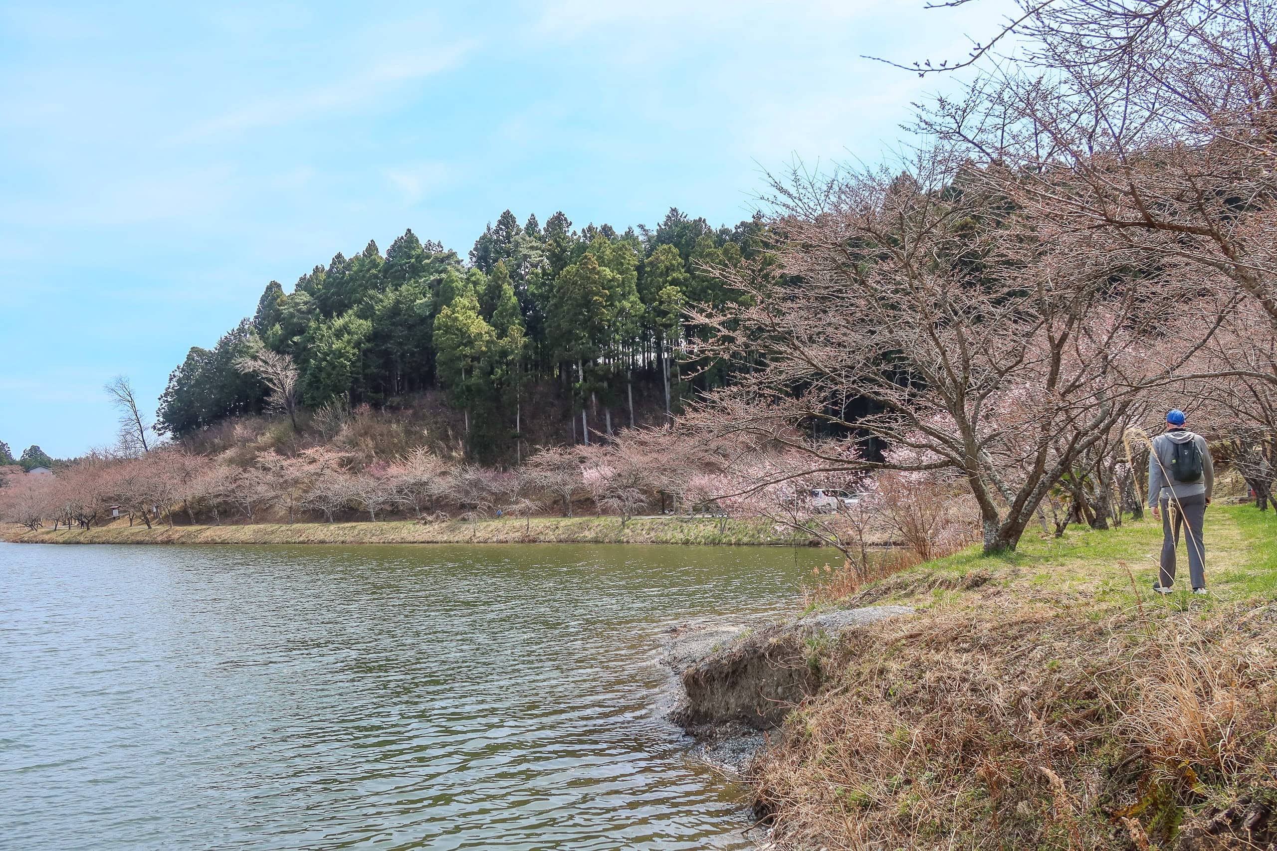
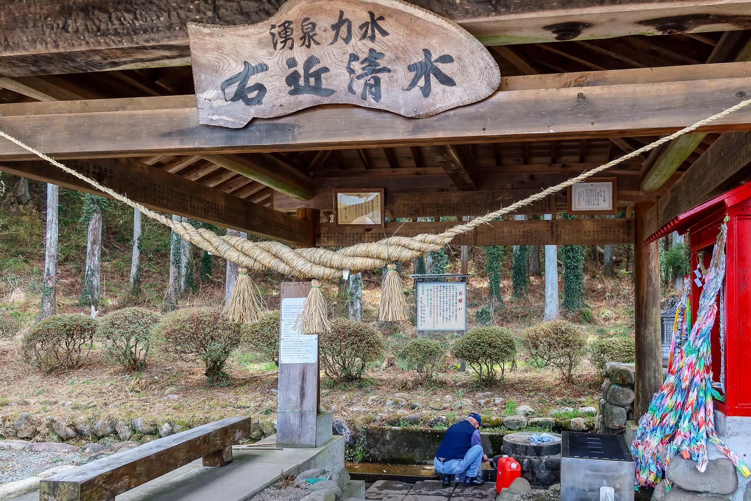
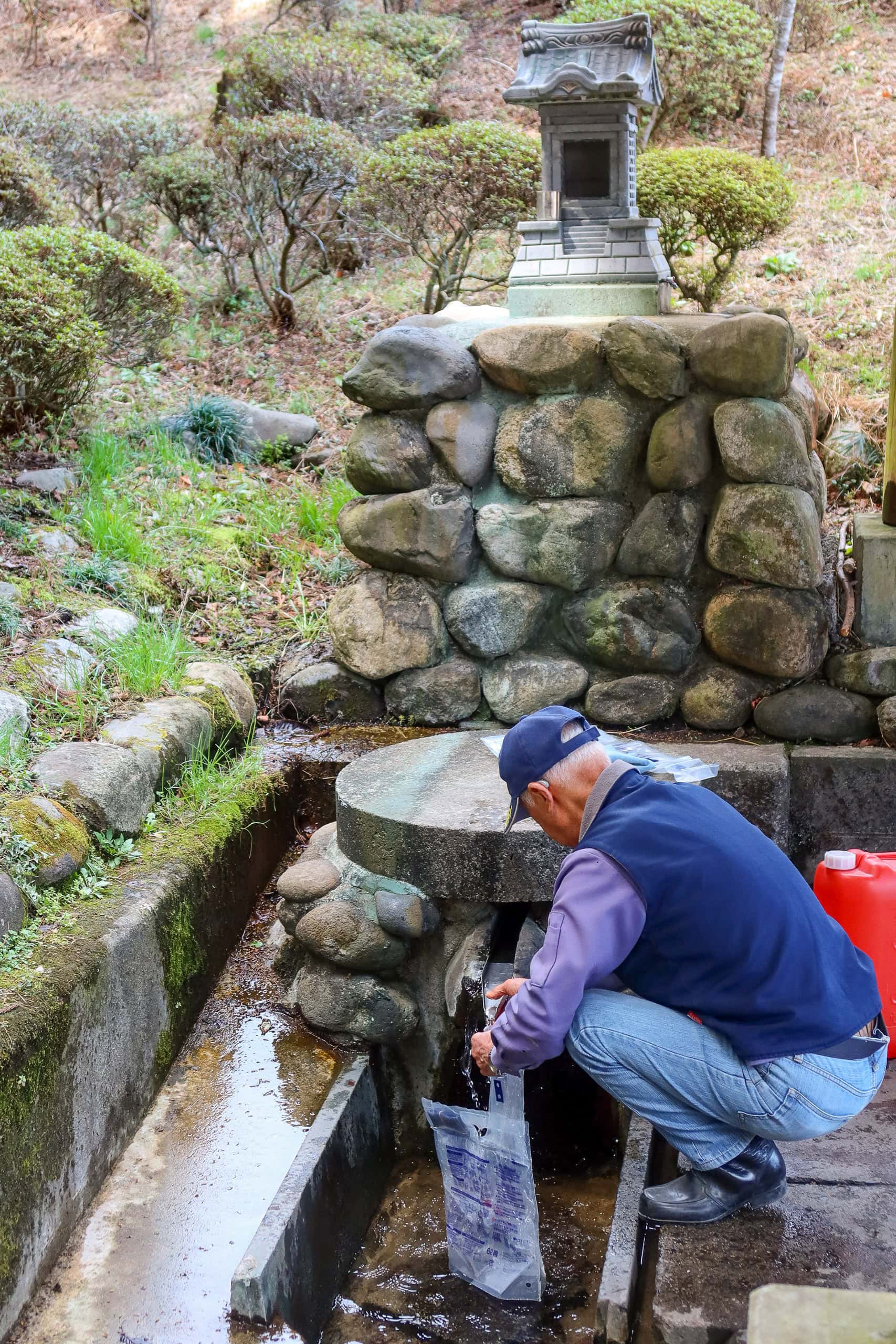
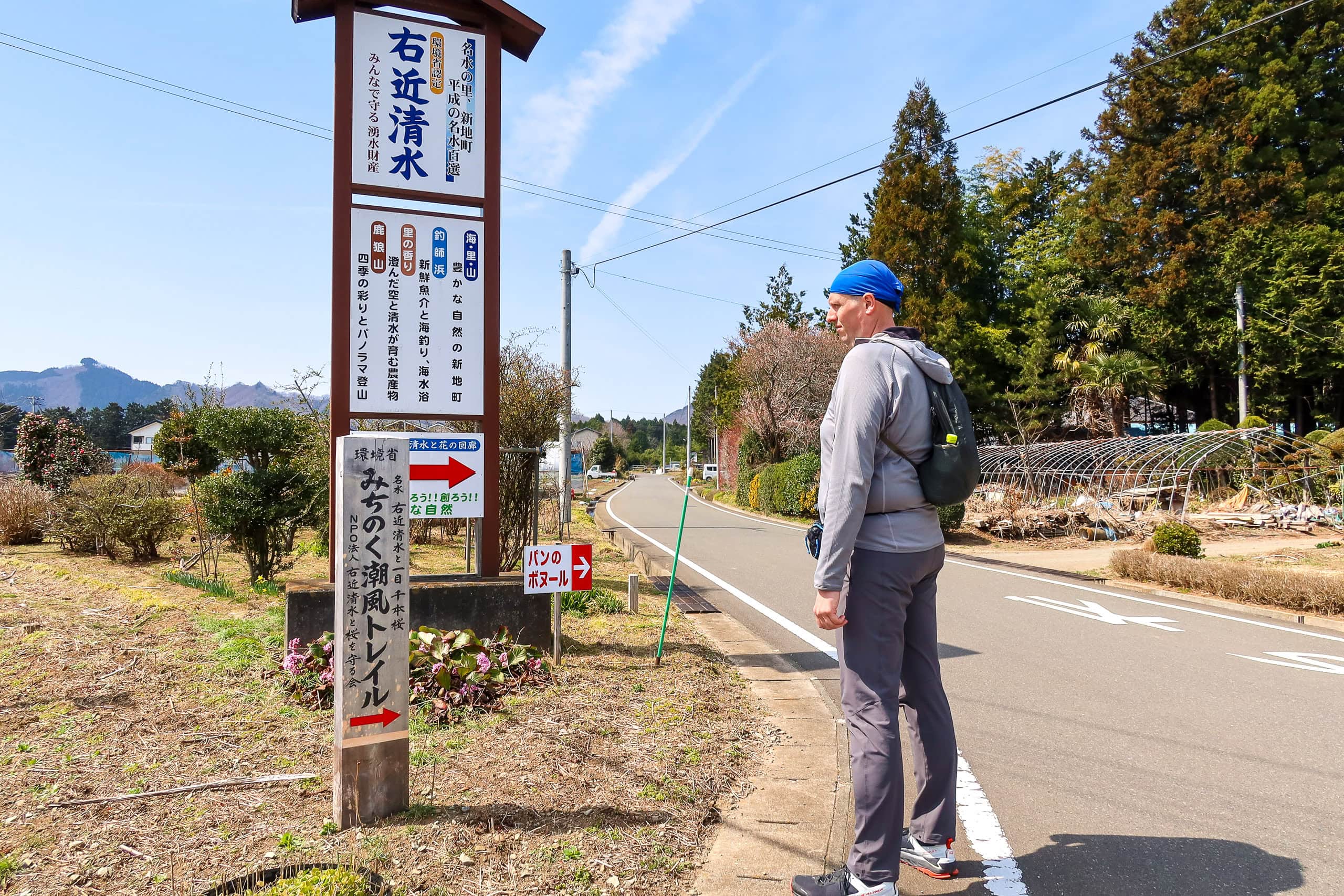
The spring, Ukon Shimizu 右近清水, sat at the southwest corner of the pond.
Here again, a local elder was patiently filling a tank and several bags with water. With its longer history and convenient location, Ukon Shimizu seemed more well-known and respected. A small roofed hut and a shrine stood beside it, adding a quiet sacredness to the place.
We didn’t see any vending machines around the pond, but soon after the MCT route led us back to the village road, one appeared like a tiny oasis.
I had been looking forward to visiting a small, popular bakery in this part of the village — I’d even planned to grab a couple of loaves for lunch — but, of course, it turned out they were closed on Saturdays. So we found a low concrete wall beside an elevated vegetable patch, sat down, and had lunch with the bars we’d brought and our vending machine drinks.
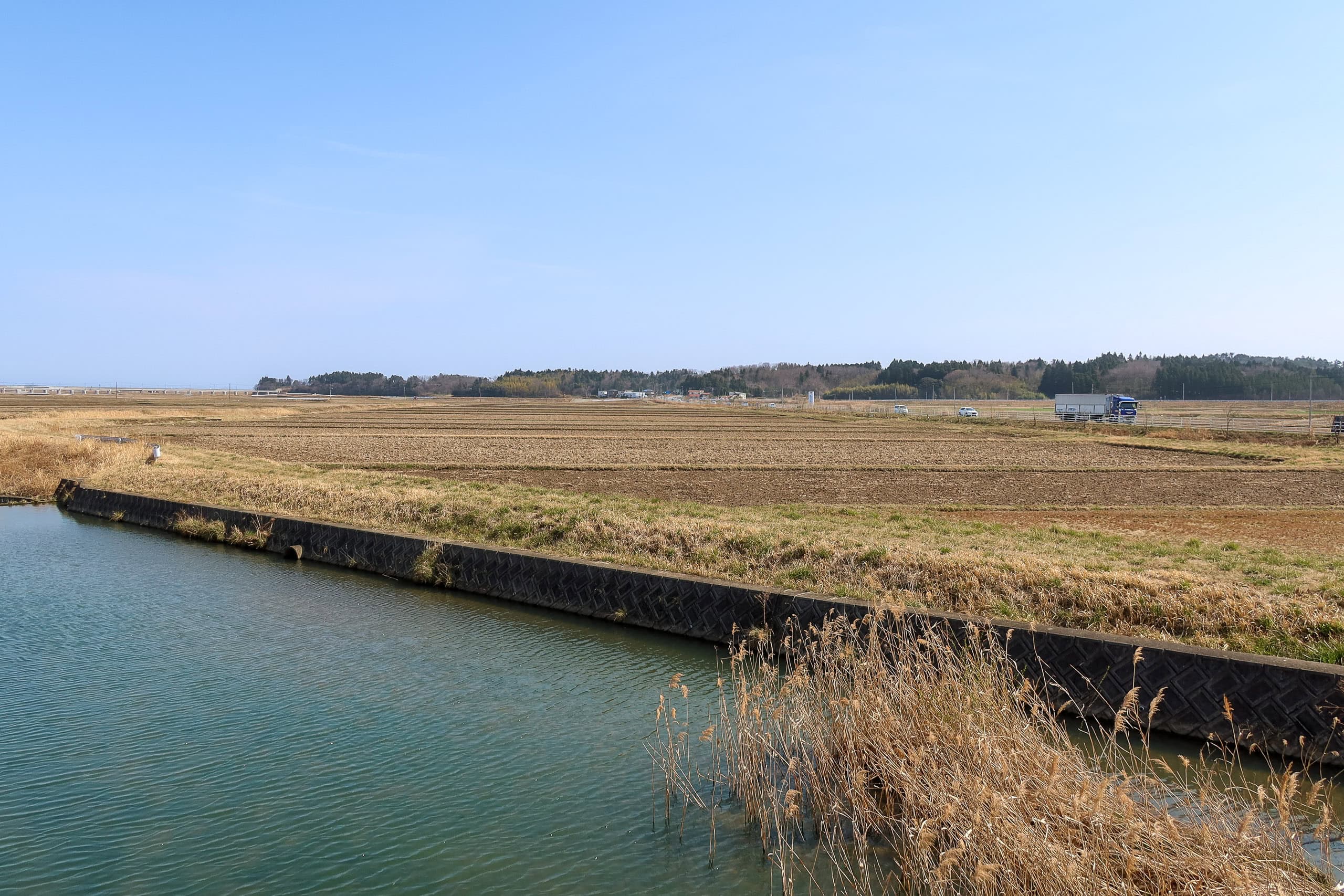
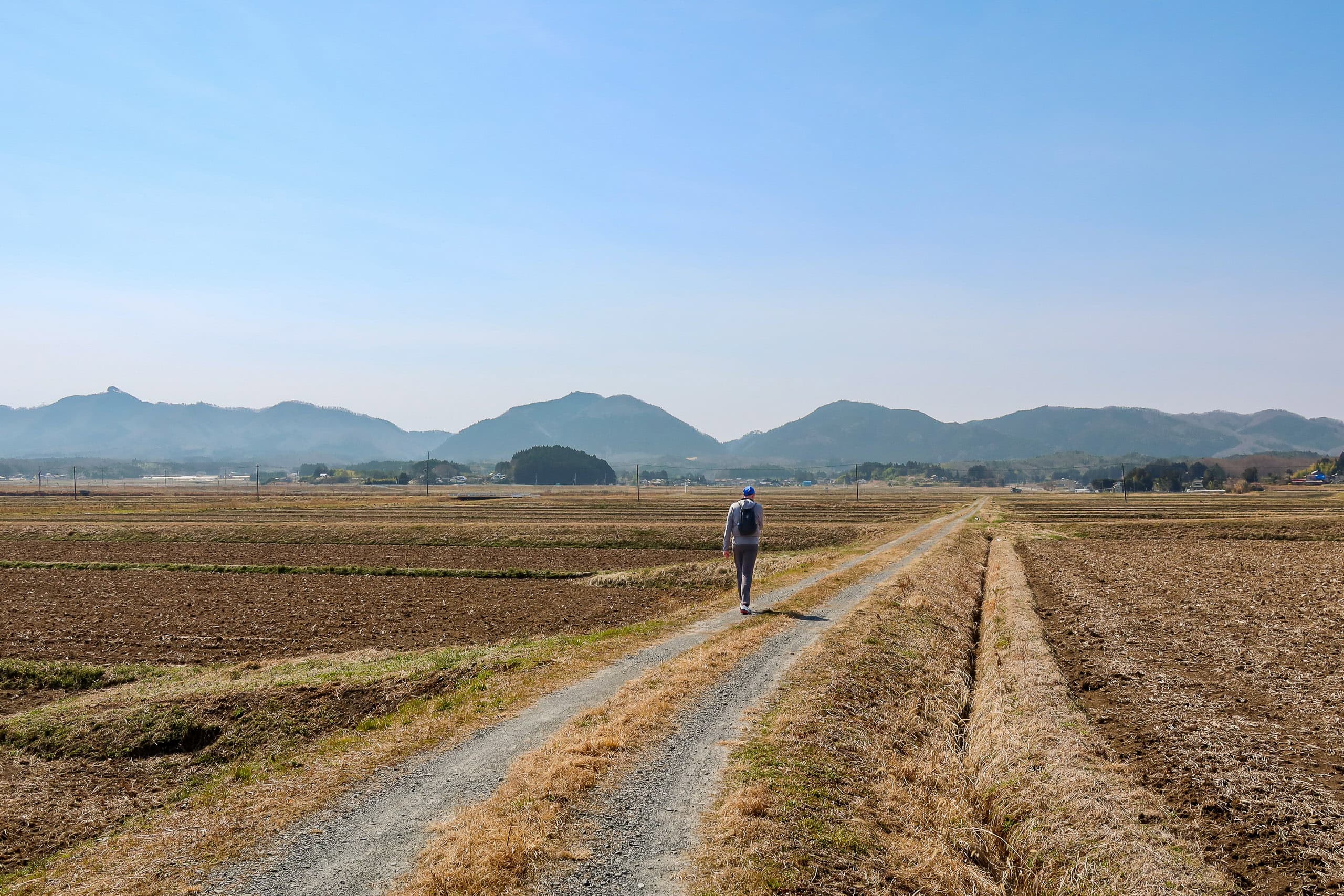
From there, the MCT continued toward the coast. We left the tree-farming village behind and entered a broad stretch of flat, earthen rice paddies.

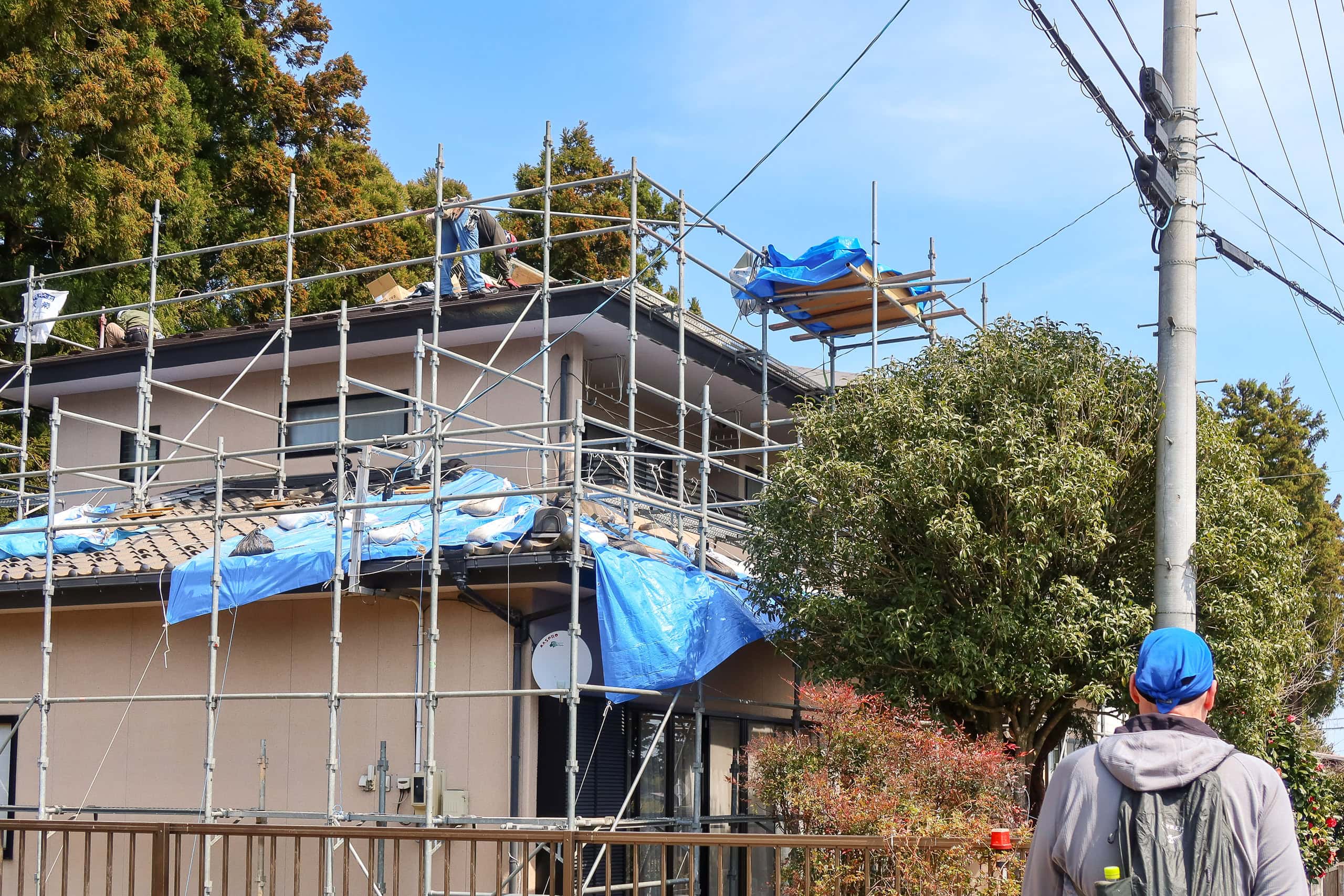
Once again, we passed several farmers’ houses with blue construction sheets draped across their roofs. Some had roofers at work, finally repairing the damage. One house looked to have decided to say goodbye to its old heavy tiles entirely, switching instead to lightweight metal panels.
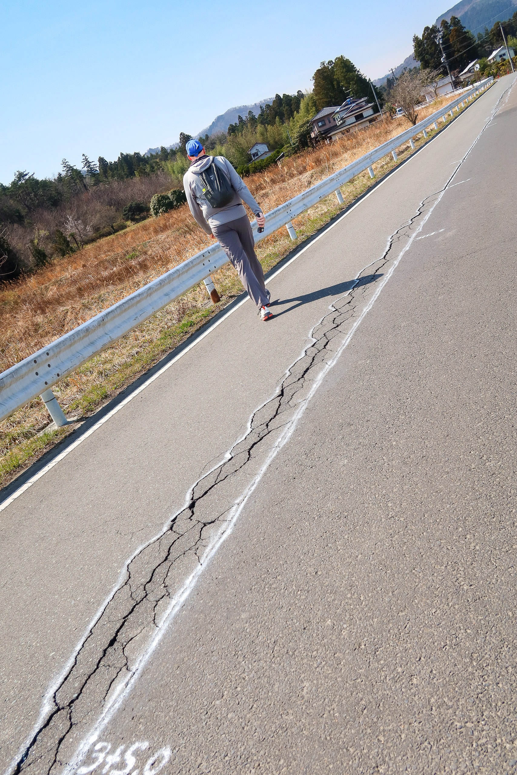
Cracks split across the asphalt road beneath our feet — unmistakable scars from the two major earthquakes that had struck recently.
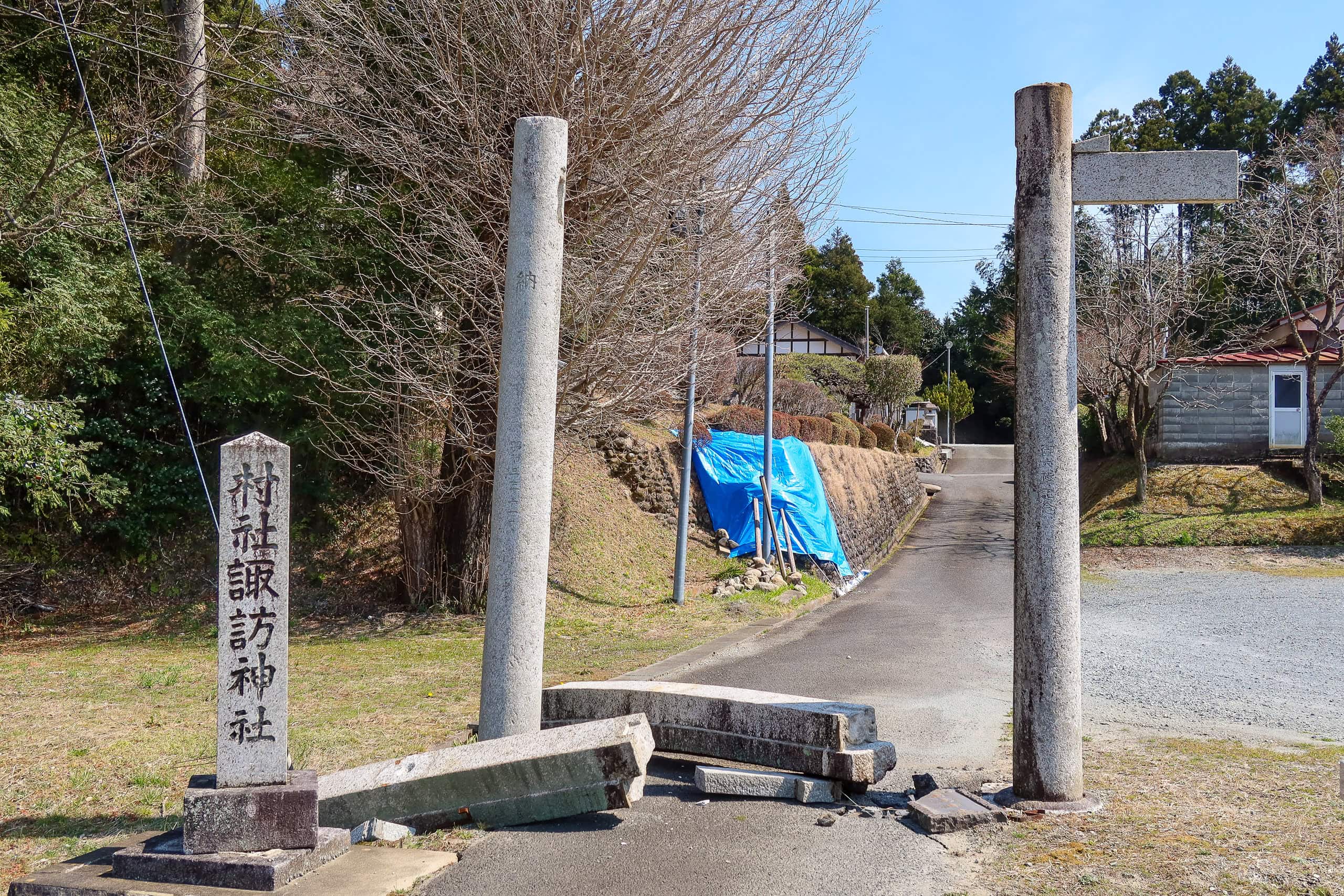
Even the guardian deities hadn’t escaped nature’s violence: the lintel of a large stone torii gate had fallen, split in two, and now lay on the ground.

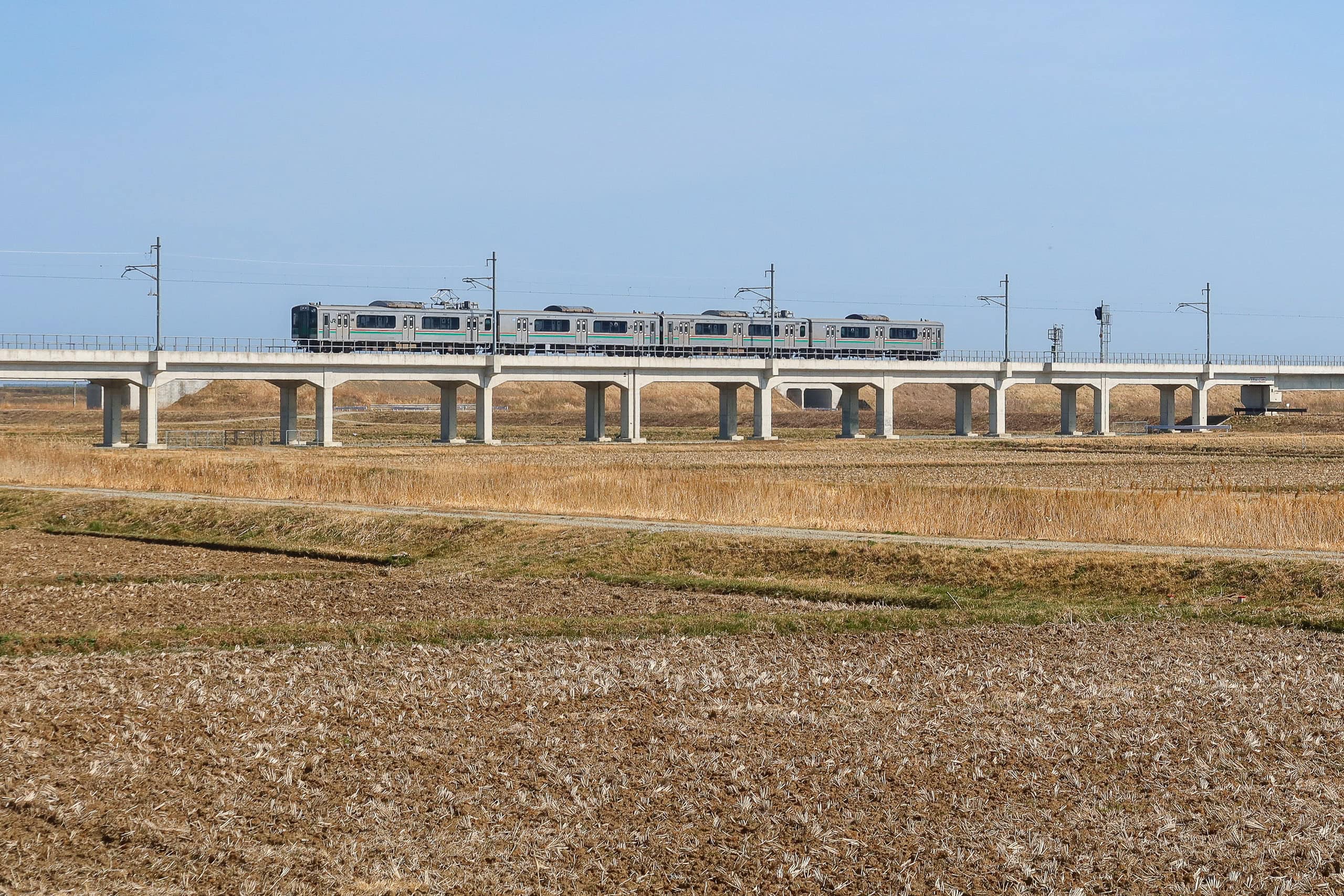
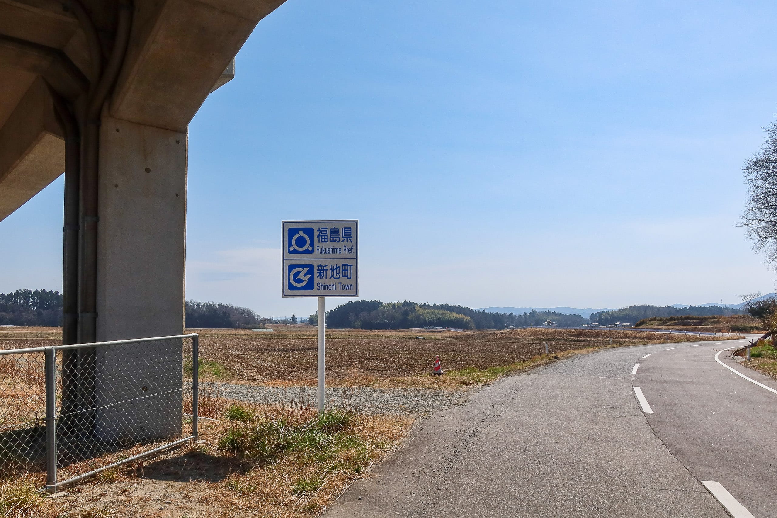
Passing under an elevated railway, we noticed a modest roadside sign with two metal plates showing only their backs. When we turned around to see what it said, we realized that we had just crossed out of Shinchi Town — and out of Fukushima Prefecture.
Hello, Yamamoto Town 山元町 and Miyagi Prefecture 宮城県.
The MCT, the Michinoku Coastal Trail, crosses four prefectures along the Pacific side of Tohoku. The largest sections run through Miyagi and Iwate, and Iwate itself is enormous — the second-largest prefecture in Japan after the undefeated champion, Hokkaido.
By comparison, the Fukushima segment of the MCT had taken us only a day and a half to walk. We both wished it had continued along the entire Fukushima coastline.
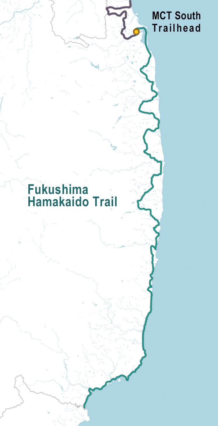
The Fukushima Coastal Trail ふくしま浜街道トレイル is one of Japan’s newest long-distance trails.
Officially opened in 2023, the trail runs along the entire Pacific coastline of Fukushima Prefecture.
The northernmost section connects directly with the southern terminus of the MCT, sharing the same path we walked on Day 1 and Day 2. After passing Ukon Shimizu and the cherry blossom pond, the Fukushima Coastal Trail splits off from the MCT and continues north on its own route toward its terminus.
With this new addition, MCT hikers can now walk an even longer journey — a continuous route that links all four prefectures along Tohoku’s Pacific coast.
The fomer Nakahama Elementary School
Not long after entering Miyagi Prefecture, we came to a newly built, wide road — no pedestrian crossing, no traffic lights. Fortunately, there were no cars in sight in either direction. The map showed that our route should cut across the area diagonally, but the open ground ahead had no visible path. We could have crossed straight through if we wanted, yet detouring around it on a narrow side road hardly made any difference. Compared to the long detour through a construction zone back on Day 1, this was just a tiny route adjustment.
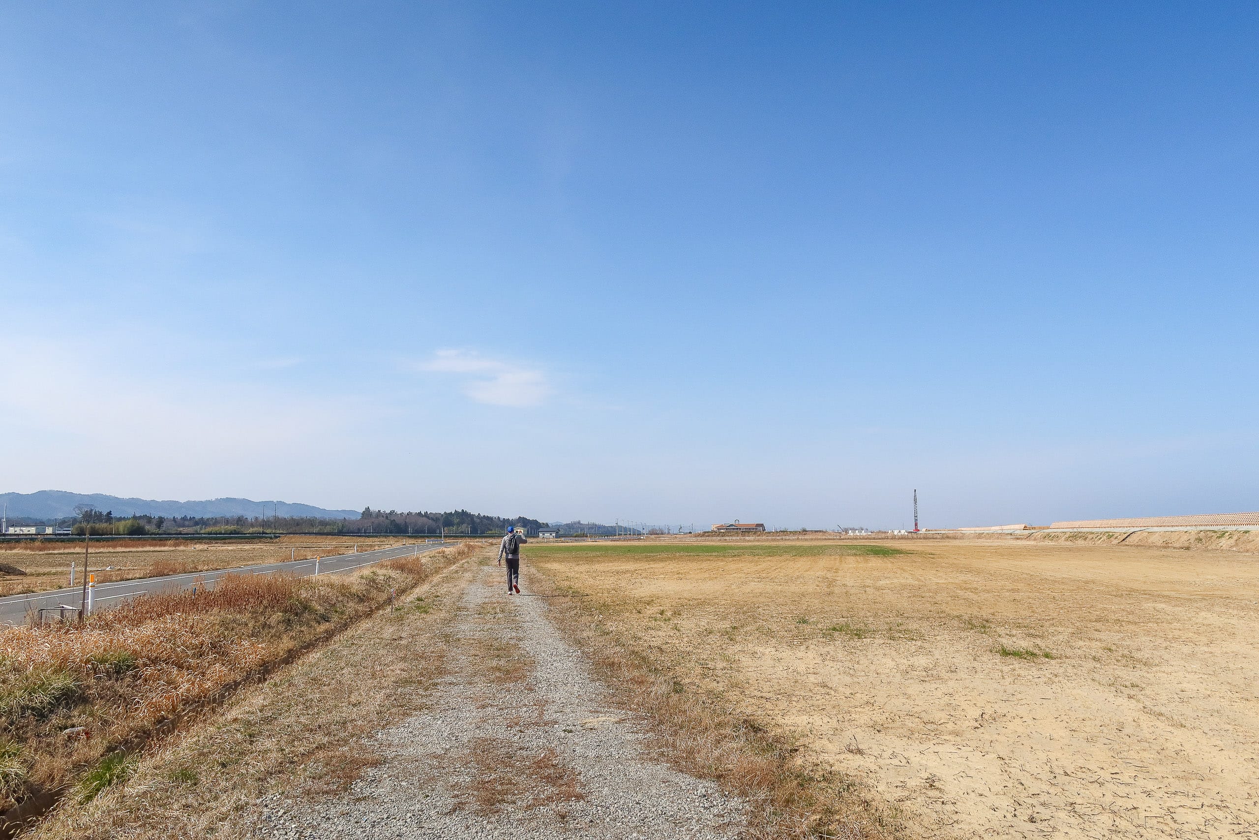
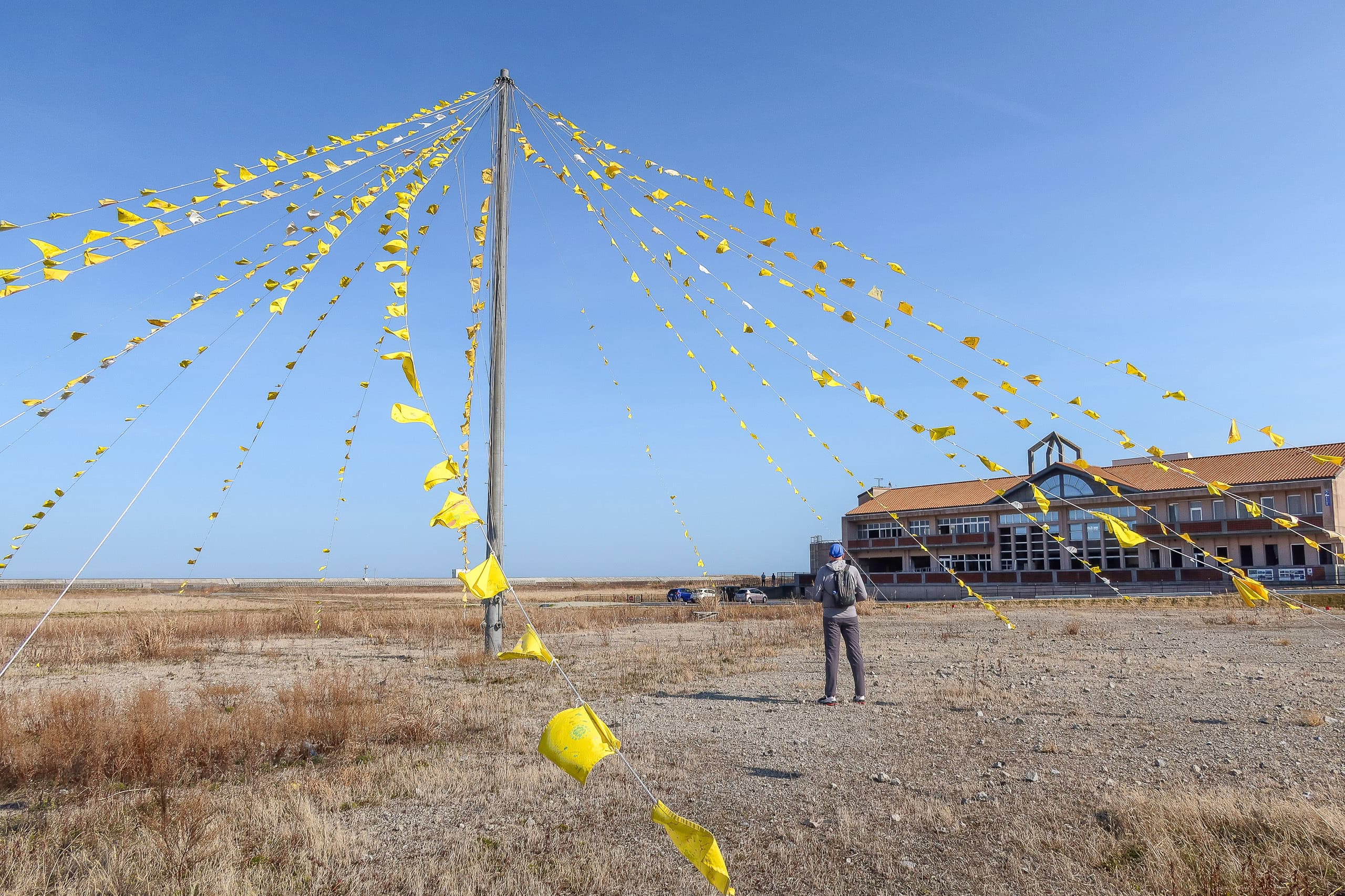
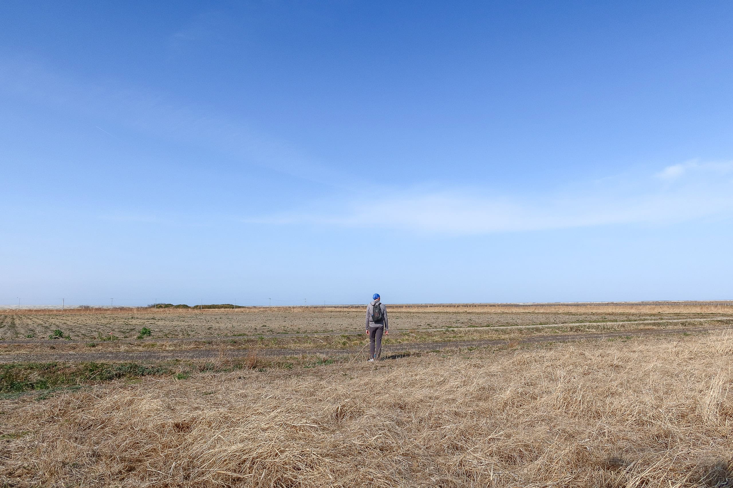
A few minutes later we found ourselves standing in the middle of a vast, empty plain stretching toward the horizon. Except for a long earthen embankment blocking our view of the sea, there were no trees, no houses — just a broad, flat expanse of pale sand and dried yellow grass. A newly laid straight road and a line of concrete utility poles cut through it all. The sight was strangely eerie.
The sun, meanwhile, had clearly decided to defy last night’s forecast. So much for “occasional rain.” It kept growing hotter by the minute, and here we were, two hikers completely exposed on a sun-blasted plain. According to the map, this would go on for another four kilometers. We were already uncomfortably hot and painfully aware that we were out of water…
Although the paved road was technically part of the MCT, we stuck to a dirt road beside it that ran along the edge of this barren land. Up ahead stood the only building in sight — something like a small office with a warehouse attached — and we aimed straight for it, desperate for even the faintest chance of a vending machine.
So no exaggeration: we were ecstatic when we spotted, gleaming beside the building, the blessed red rectangles themselves — not one, but two vending machines!
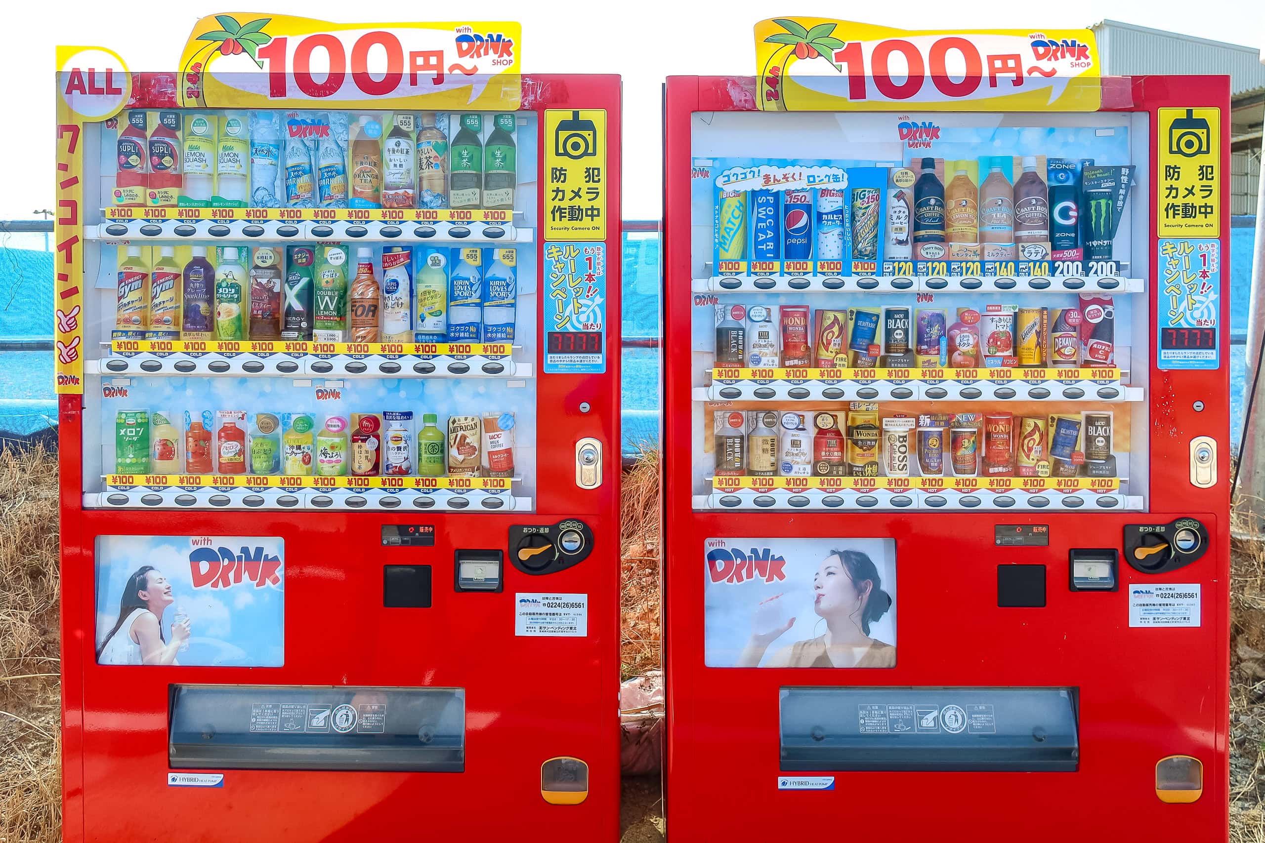
Not only were they the gods’ own gift to the dehydrated, but every drink was just 100 yen, cheaper than the going rate.
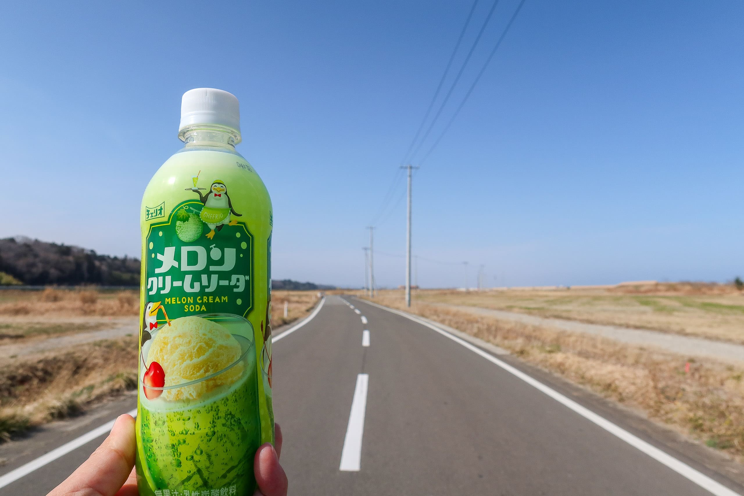
We drank one can right there on the spot, and I saved a bottle of melon cream soda for later — pure happiness in liquid form.
As we walked across the wind-howling empty land for about two and a half kilometers, a tiny orange speck appeared on the horizon and slowly took the shape of a box-like building. Google Maps showed a memorial site somewhere ahead — that must be it.
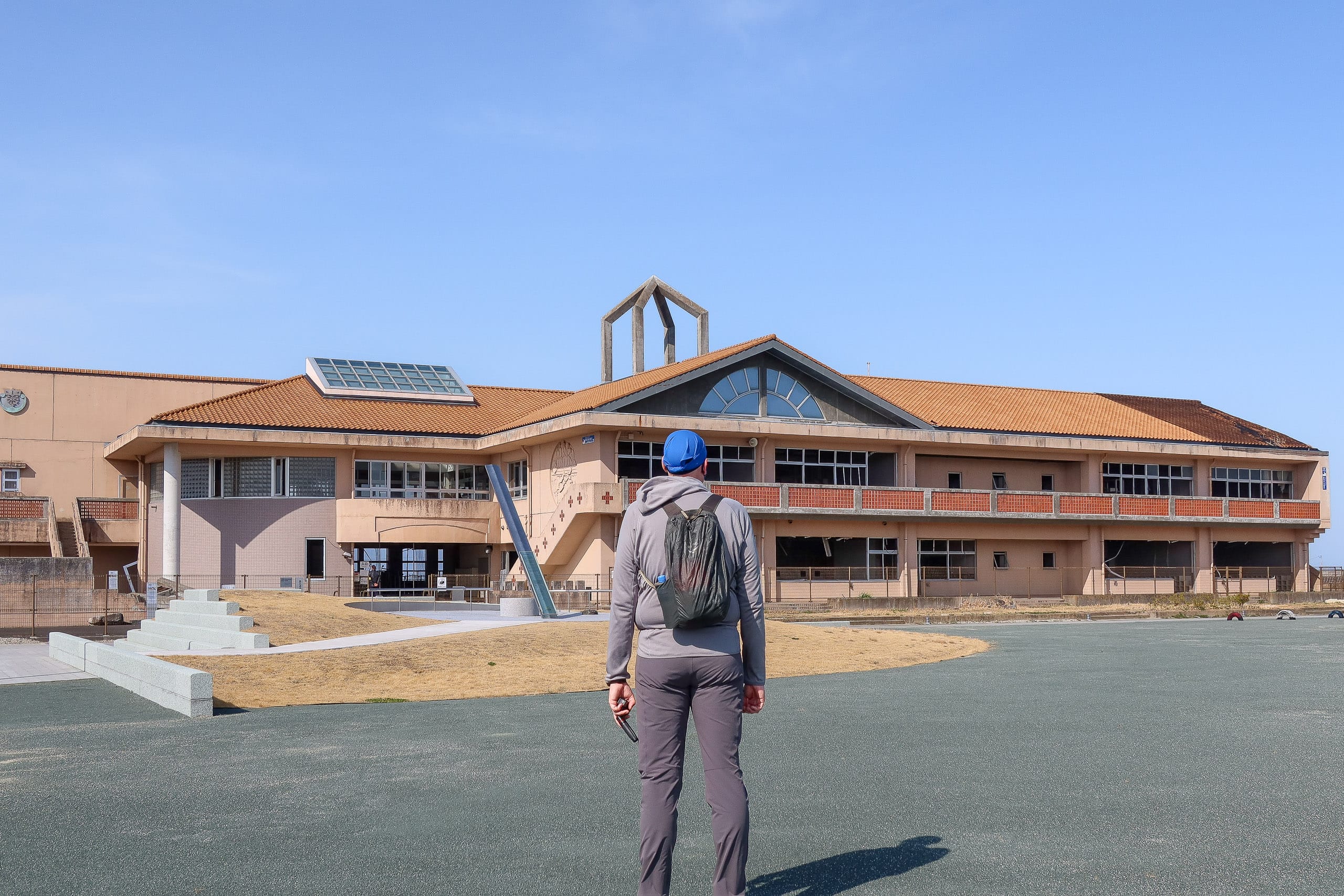
The closer we came, the clearer it became: it looked like a school, but half-destroyed.
The building of the former Nakahama Elementary School 震災遺構 中浜小学校 is the only preserved disaster ruin in the southern Miyagi area — a school left standing after the Great East Japan Earthquake and tsunami of March 2011.
It remains here as a museum, kept exactly as it was, to show what happened on that day.
The vast, deserted plain we had been walking through was once a seaside village filled with houses, families, and everyday life.
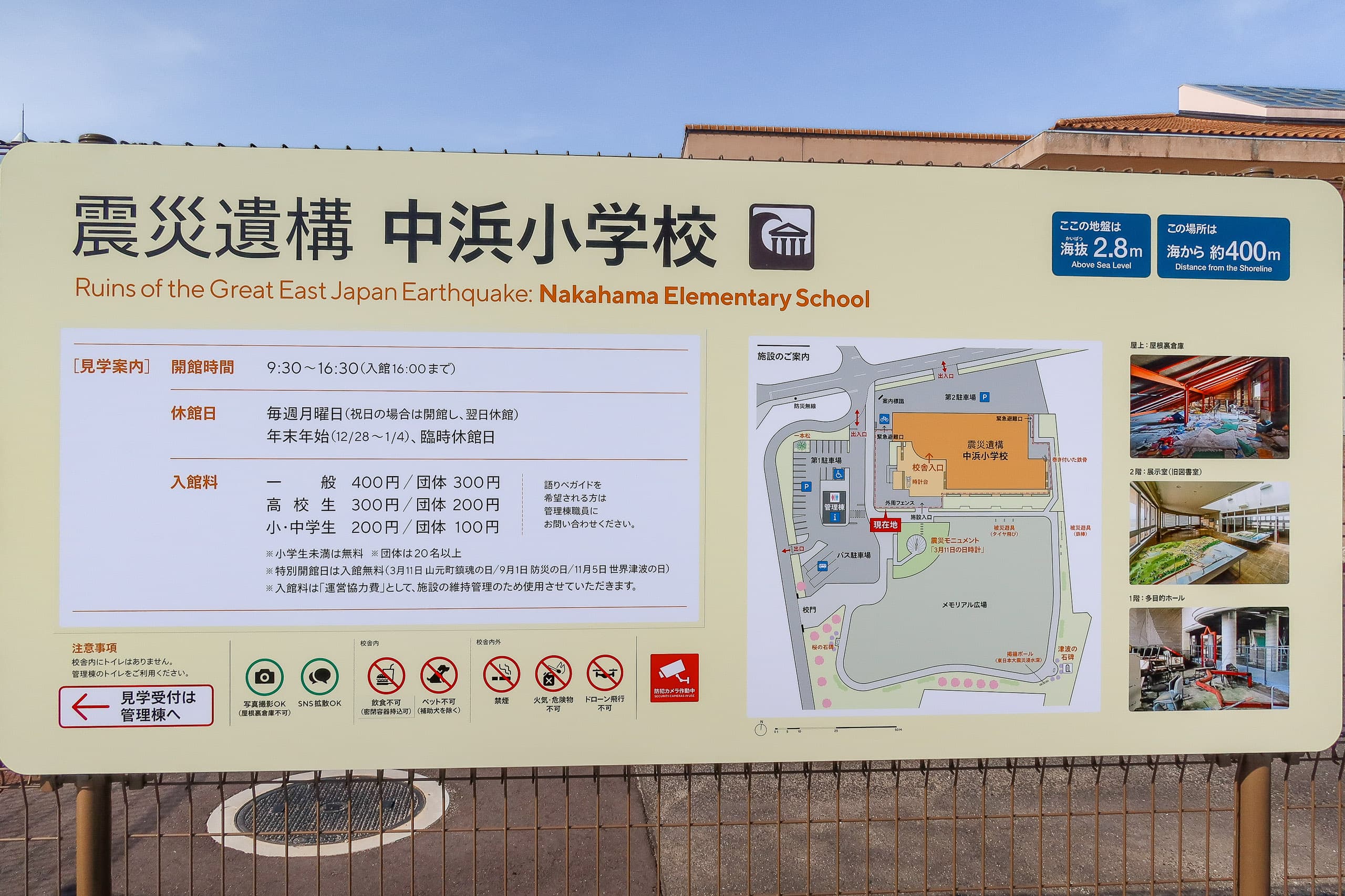
At the gate stood an older man wearing a staff jacket, who warmly encouraged us to go inside. He was surprised when he learned we’d come all the way from Shikoku and were walking the entire MCT. The younger woman at the ticket counter reacted the same way — half disbelief, half admiration.
We entered the school after first making good use of the modern bathrooms by the ticket office — and admiring, but not actually buying from, the vending machines there. Some habits are hard to break.
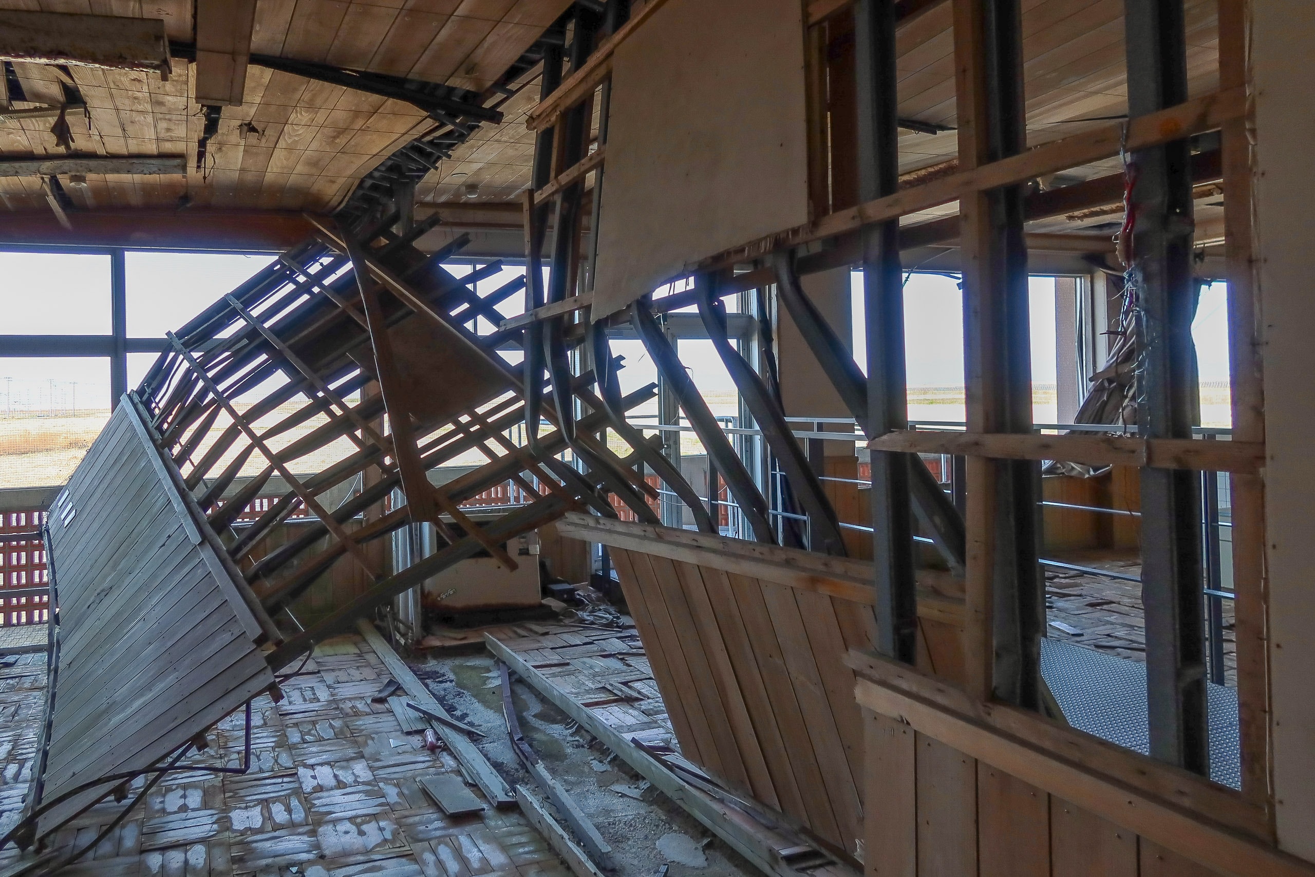
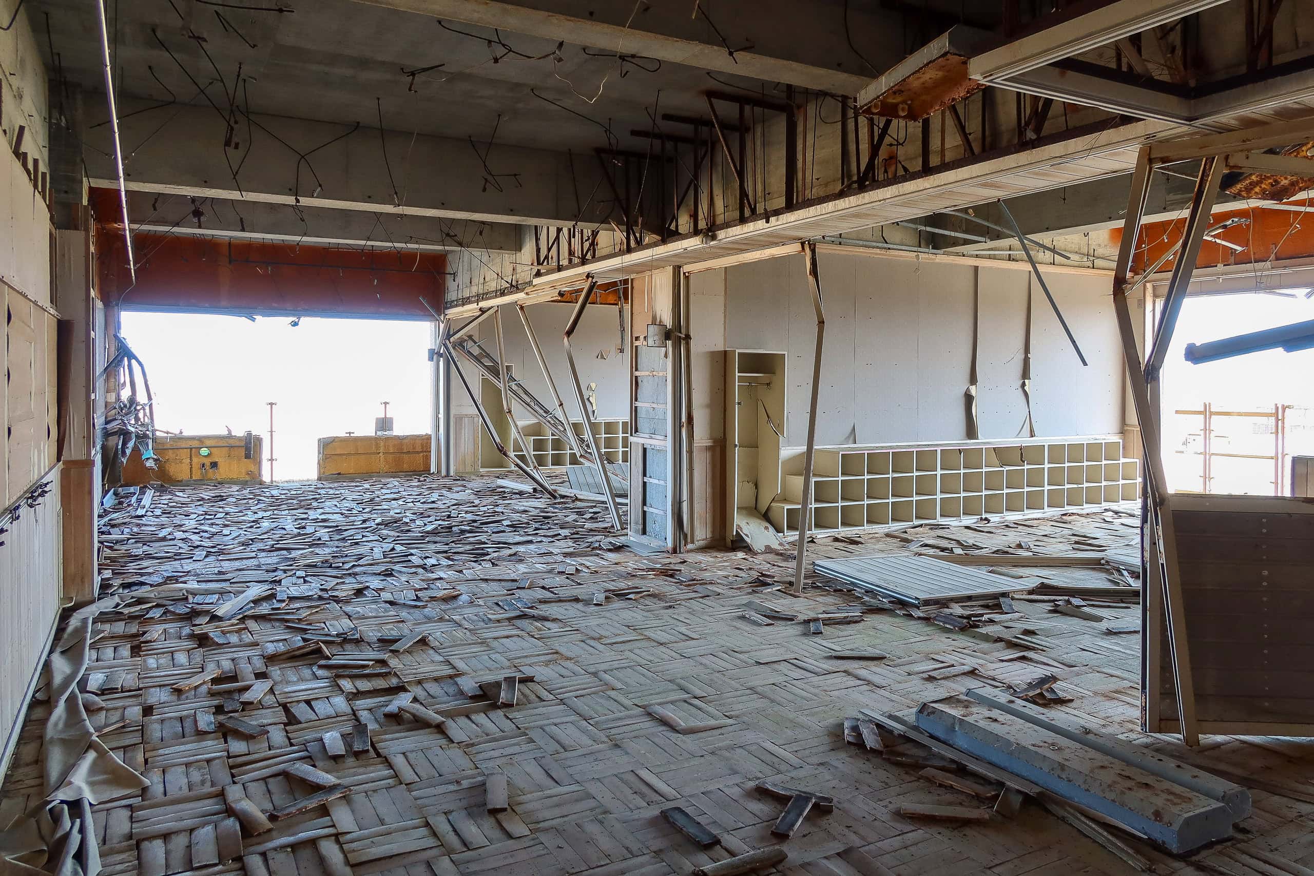
Inside, the first and second floors were nothing but wrecked classrooms. The walls and windows were gone, leaving each floor as one huge open space, with piles of rusty desks and chairs twisted together along one side.
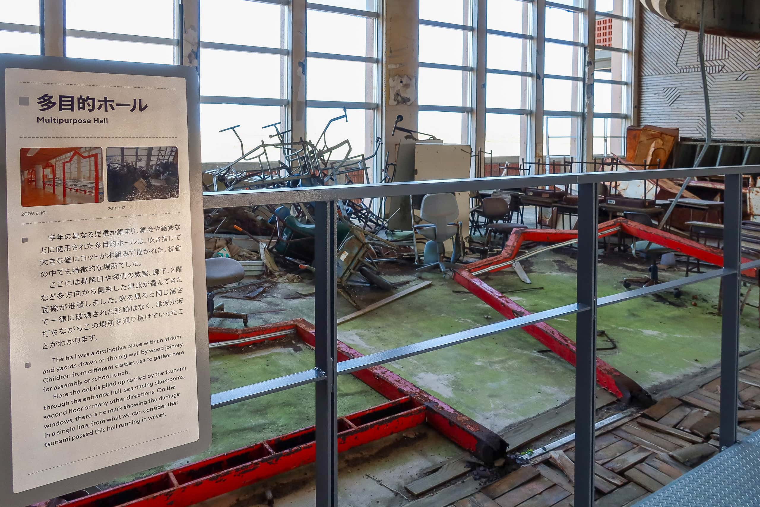
After we’d walked through both levels, a volunteer guide — another local elder — invited us to watch a short documentary and join a special guided tour to the attic. That was where all the students and teachers had fled when the tsunami struck, and where every one of them survived while the waves swallowed not only their school but their entire town.
They spent several cold, anxious nights up there, trapped and unsure whether their families were alive, until the water finally receded and rescuers arrived.
We wished we could have stayed longer, but we still had to reach our goal point for the day.
I couldn’t help wondering if some — or maybe all — of the kind, welcoming volunteers here were once residents of the vanished town themselves…
A surprise encounter
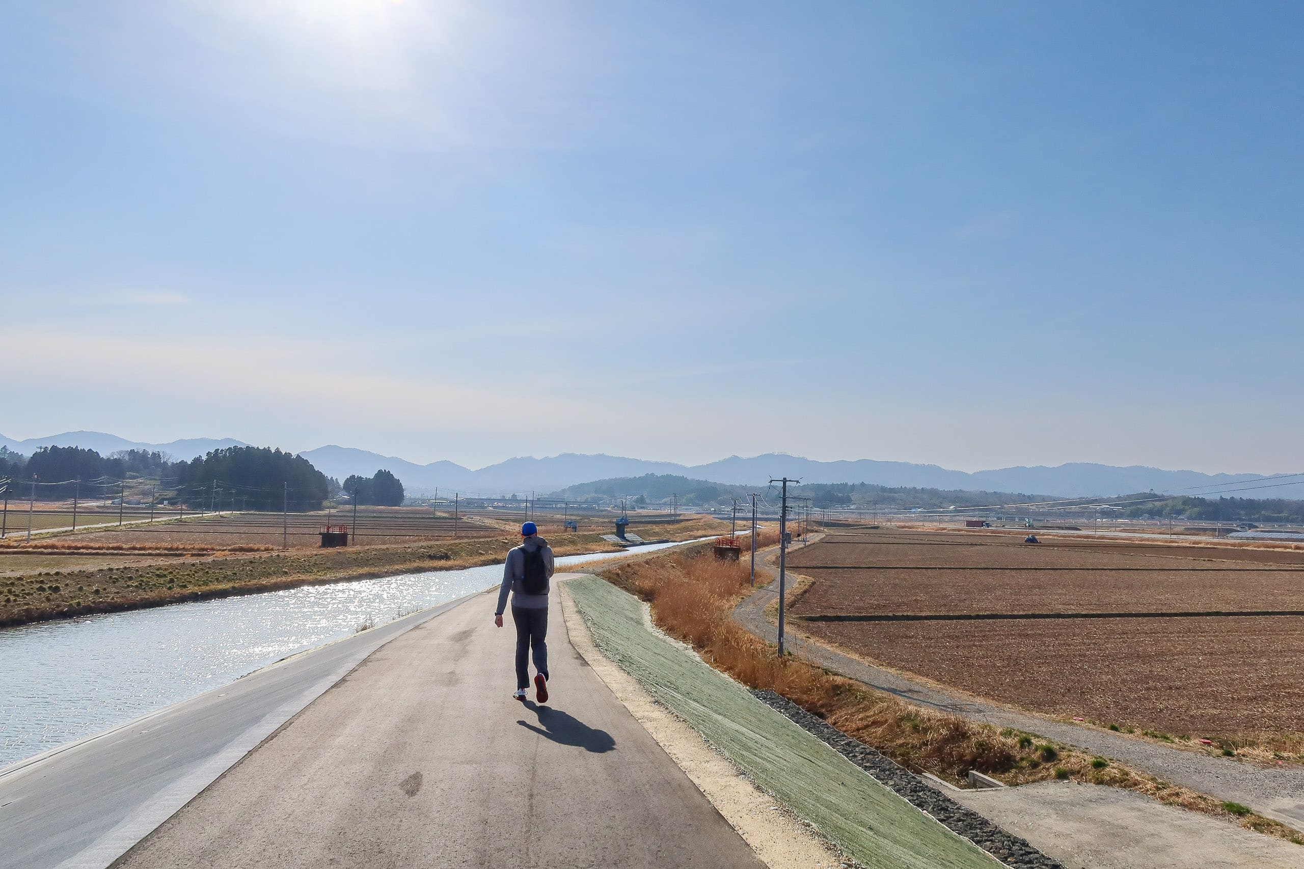
We were back on the quiet road across the empty plain and walked a little less than a couple of kilometers. The MCT map book had warned that this road often carries heavy truck and construction traffic, but thanks to Saturday it was completely silent.
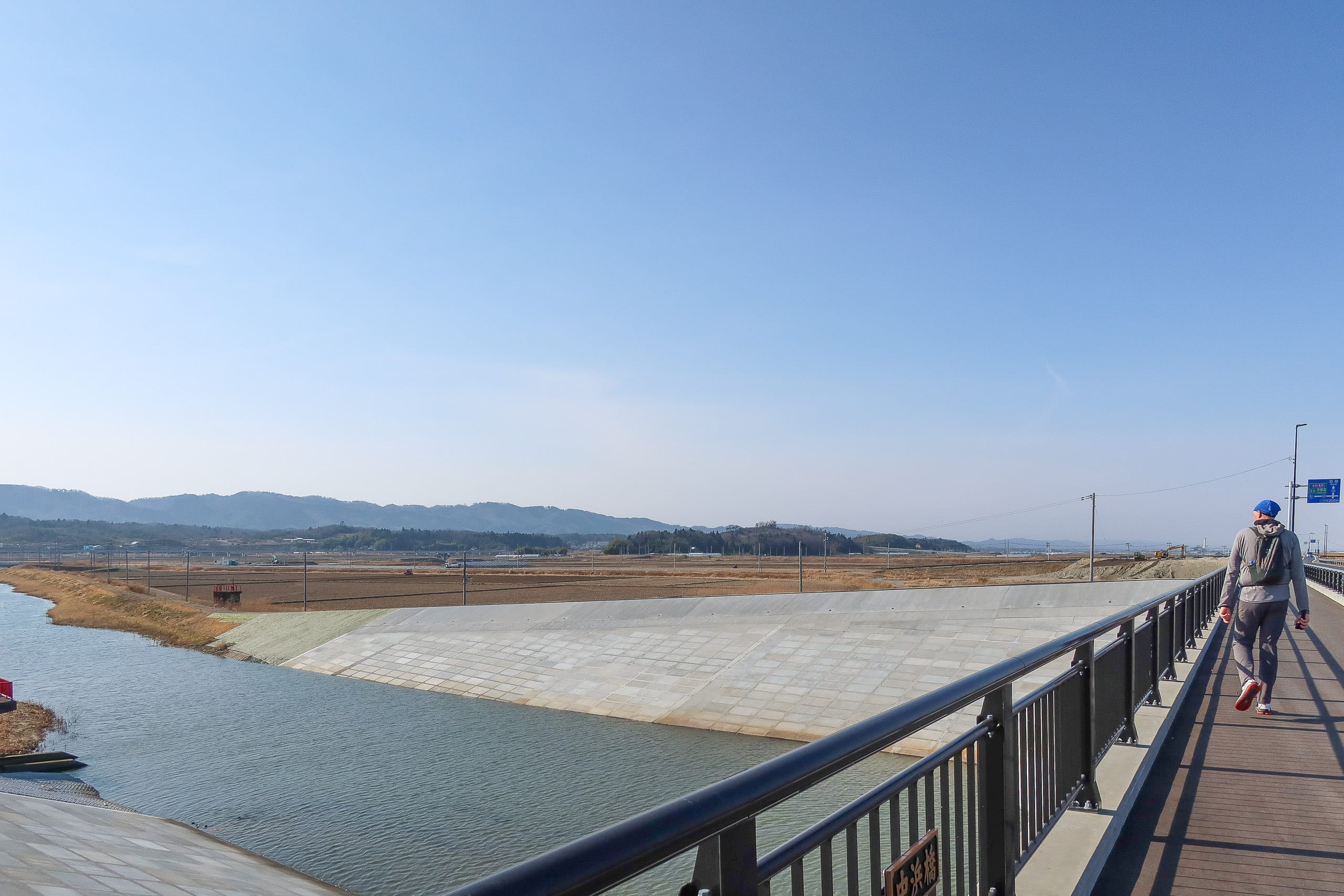
Eventually the road reached the Sakamoto River 坂元川, where large-scale bank work was underway. The small bridge we were supposed to cross no longer existed; in its place stood a newly built, larger bridge.
The old bridge would have dropped us directly onto a farm road through the paddies, but we weren’t about to slide down a pathless riverbank just to stick to the line in the map book. We took the straight riverbank path instead and rejoined the original route quickly and safely.
We passed under the elevated Sakamoto Station and spotted a convenience store next to the post office out front. It hit us that we hadn’t seen a single conbini (native Japanese speakers’ way to call the convenience stores) all day until now.
The final five kilometers followed the wide sidewalk of Route 6, a busy main road.
Not long after we started, with cars streaming past in both lanes, a van suddenly pulled over a few meters ahead. We hesitated, about to keep walking, when a man hopped out and waved. — Oh?
He introduced himself as the director of the MCT Natori Trail Center — the very person we had been emailing for questions and, most importantly, to arrange a special boat (you’ll see what that means on Day 7).
He and another staff member had been in Soma City and were driving back along Route 6 when they spotted us. “I knew you started from the south terminus, so I estimated you might be around here today. I kept an eye on the roadside and saw a pair of hikers who looked like you,” he said, grinning.
What a coincidence — and what a kind surprise. It felt good to know someone was looking out for us.
We — an average-height Japanese woman and an exceptionally tall Dutchman — tend to stand out wherever we go. But turning heads isn’t always a bad thing, especially on days like this.
We took a photo together and promised to visit him soon at the MCT Natori Trail Center. Then their van pulled back into traffic and headed north.
Grocery stores along R-6 and the Yamashita station area
As I mentioned back in the Day 1 post, there were no convenience stores or grocery shops anywhere near Shinchi Station or our hotel. So, before finishing the day’s hike, we checked Google Maps and spotted two possible options for drinks and snacks.
- The first was a convenience store along Route 6, about 2.5 kilometers before our goal for the day — Yamashita Station 山下駅.
- The second was a large grocery store right in front of the station itself.
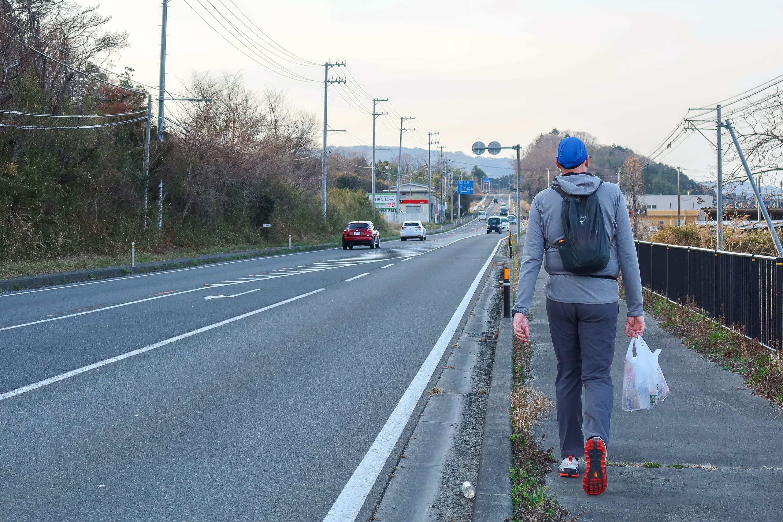
We chose the convenience store, which meant, unfortunately, that Erik got to carry a very full plastic bag for the final 2.5 kilometers.
Unreasonable? Why debate between the two when the grocery store sounded like the obvious choice?
Well, time had gotten tight. We’d spent longer than planned at the disaster memorial school and again during our unexpected roadside meeting with the MCT Natori Trail Center staff. Still, skipping shopping wasn’t an option — we needed snacks for tonight and lunch supplies for tomorrow’s hike (you’ll see why in the Day 3 story).
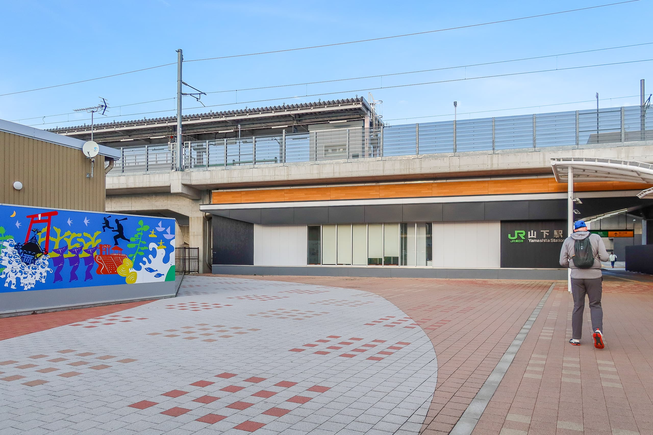
So we decided it was safer to grab what we could at the convenience store, even if it meant hauling an extra bag for the last stretch, rather than risk reaching Yamashita Station right at the evening rush and finding no time to shop at all. Arriving tired and empty-handed would have been far worse.
At a major intersection in front of the Yamamoto Town Hall, we turned east toward Yamashita Station. We’d return to this exact point tomorrow to rejoin the MCT route.
In the end, our timing guess had been right — we didn’t have much time to spare before the train arrived. And Japanese public transportation is, as everyone knows, internationally famous for being punctual down to the minute. We hurried past the grocery store, rushed to the station, and caught the train back to Shinchi Station for one more night at Hotel Grado Shinchi.
We covered about 27 kilometers today.
Looking back, if we hadn’t already reached the Mt. Karou trailhead on Day 1, we probably would’ve had to end today at Sakamoto Station instead of Yamashita Station. In that case, we might never have met the lovely people from the MCT Natori Trail Center, since Sakamoto Station sits a little off the main road.
Most of the MCT we walked today was on hard-surfaced roads — concrete, asphalt, or gravel — and by evening my feet were sore from the pounding. On top of that, the steep downhill around Mt. Karou had left my knees aching. I’d thought I’d escaped any muscle pain after Day 1, but by Day 2, my out-of-shape winter body was finally sending me a clear reminder of just how lazy I’d been.
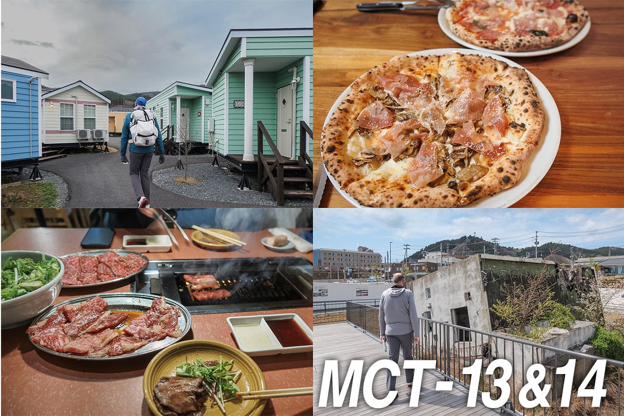
Thankfully, the hotel had a large public hot spring bath, and soaking in it for a long time felt like heaven. It was exactly what our tired legs needed.
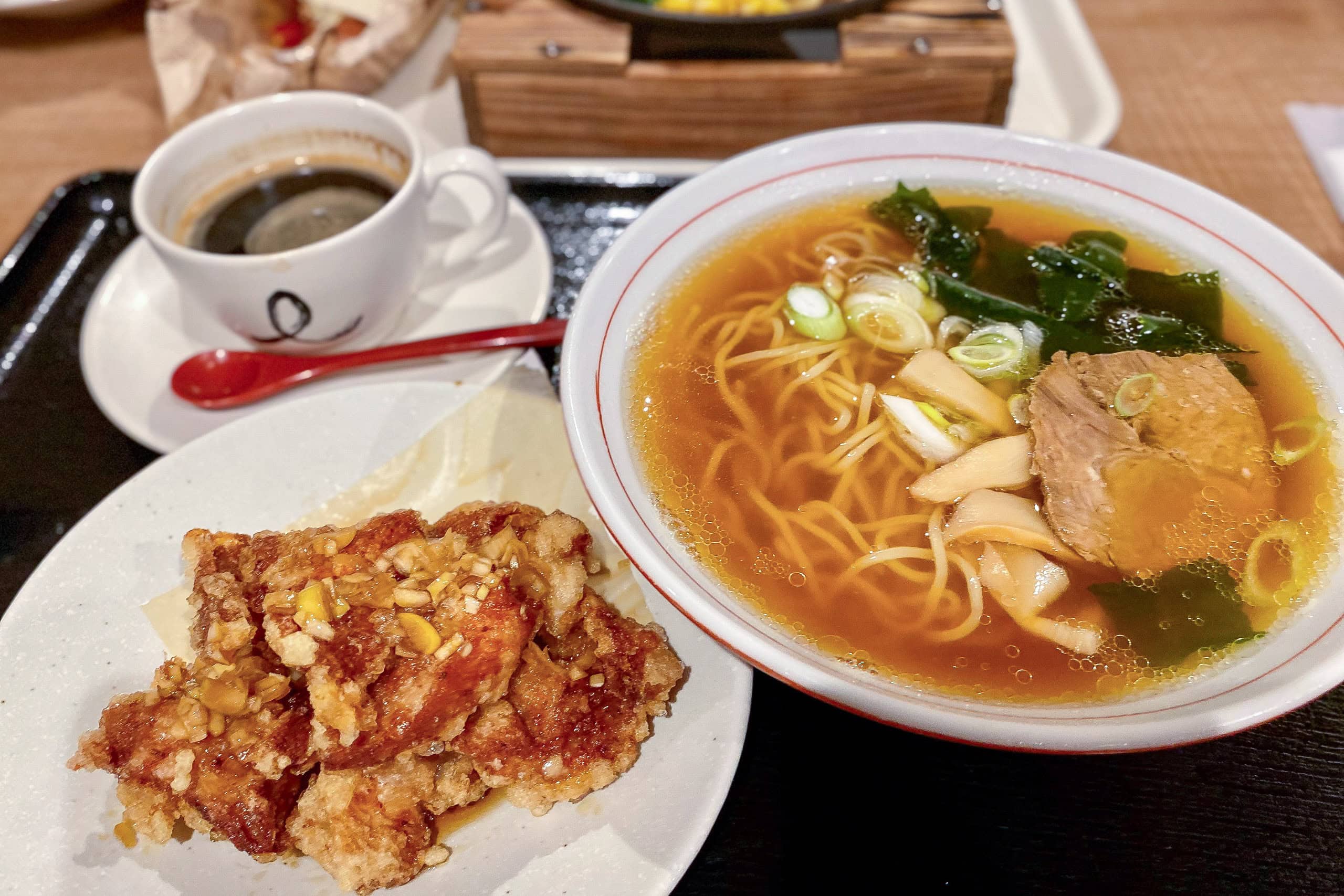
We had dinner at the nice, budget-friendly restaurant inside the hotel, then started packing up everything we’d left behind this morning.
From the next day on, we’d have to carry the full-weight backpacks again — no more easy mode.
MCT – Day 2
| Start | Mt.Karo Trailhead |
| Distance | 26.6km |
| Elevation Gain/Loss | 360m/496m |
| Finish | Yamashita Station |
| Time | 8h 45m |
| Highest/Lowest Altitude | 431m/ 2m |
Route Data
The Michinoku Coastal Trail Thru-hike : Late March – Mid-May 2021
- The first and most reliable information source about MCT is the official website
- For updates on detours, route changes, and trail closures on the MCT route
- Get the MCT Official Hiking Map Books
- Download the route GPS data provided by MCT Trail Club
- MCT hiking challengers/alumni registration
Comments