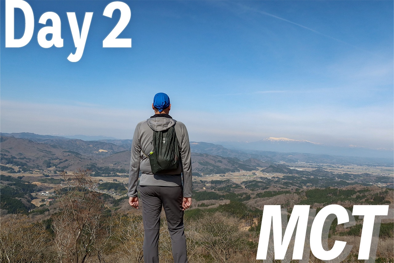
Our First Two NOBO Days: A Logistics Win
We checked out of Hotel Grado ホテルグラード新地 — conveniently located right in front of Shinchi Station — at 8:15 a.m. to safely make the 8:30 train.
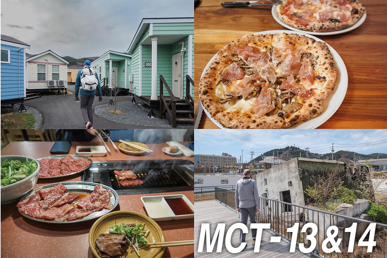
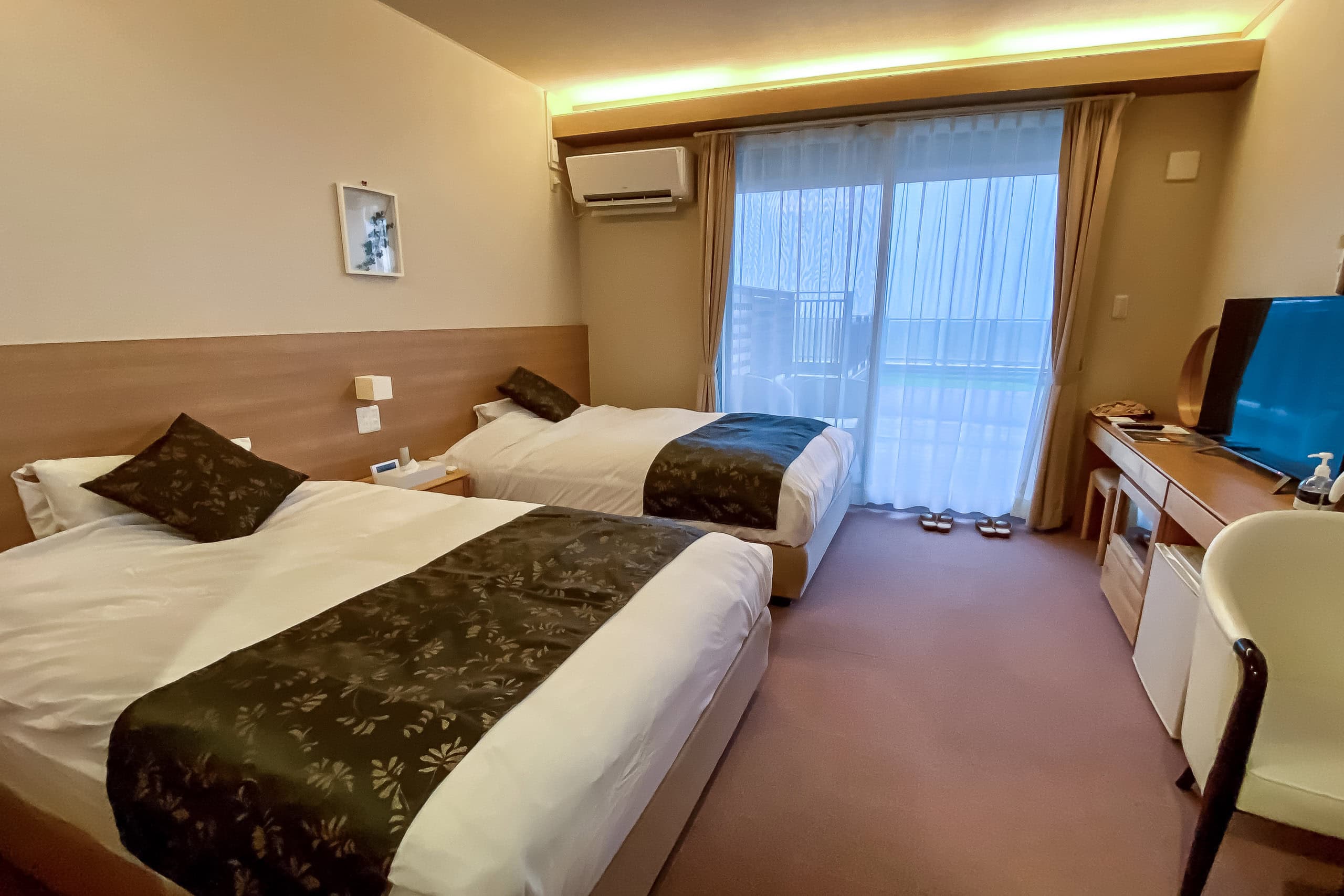
Our two-night stay had been surprisingly comfortable. Besides the standard business-hotel amenities you find anywhere in Japan — a free microwave, coin laundry, and the like — the highlight for us was the large public bath. It was in a separate building connected to the hotel by an indoor passage for guests, while local visitors used a different entrance. Inside the bath facility was a casual self-service restaurant, where we had dinner on our first night. Every dish we ordered was far better than we expected for the price.
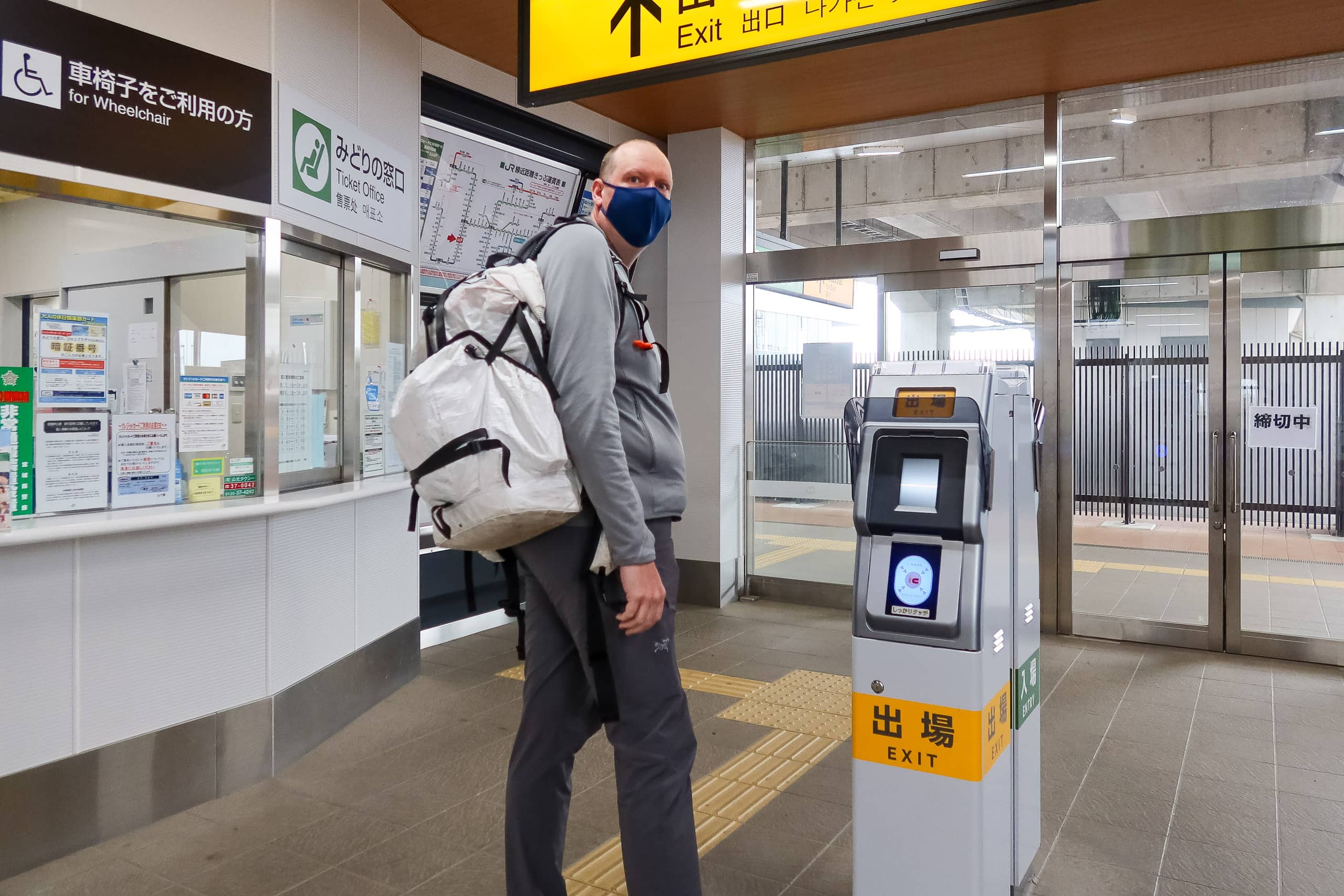
The first few days of the MCT northbound route are well connected to the JR Joban Line 常磐線. Trains run more frequently than we’d imagined, which turned out to be a big plus during our planning stage: we could stay several nights in one place and take the train to and from each day’s start and goal. The advantage of this approach is obvious — no need to haul full packs every single day.
We always try to minimize extra travel by public transportation between our lodges and the trail itself.
Of course, the ideal is to stay at a different lodge along the route each night and simply keep walking forward. But after checking various map tools, we realized that accommodations don’t always exist at convenient distances for our daily pace.
That’s a common challenge on most of Japan’s newer long-distance trails. Old routes like the Shikoku Pilgrimage or the Kumano Kodo are different; centuries of history have allowed small lodging villages to develop roughly one day’s walk apart for a typical traveler — though even those trails have been struggling in recent years.
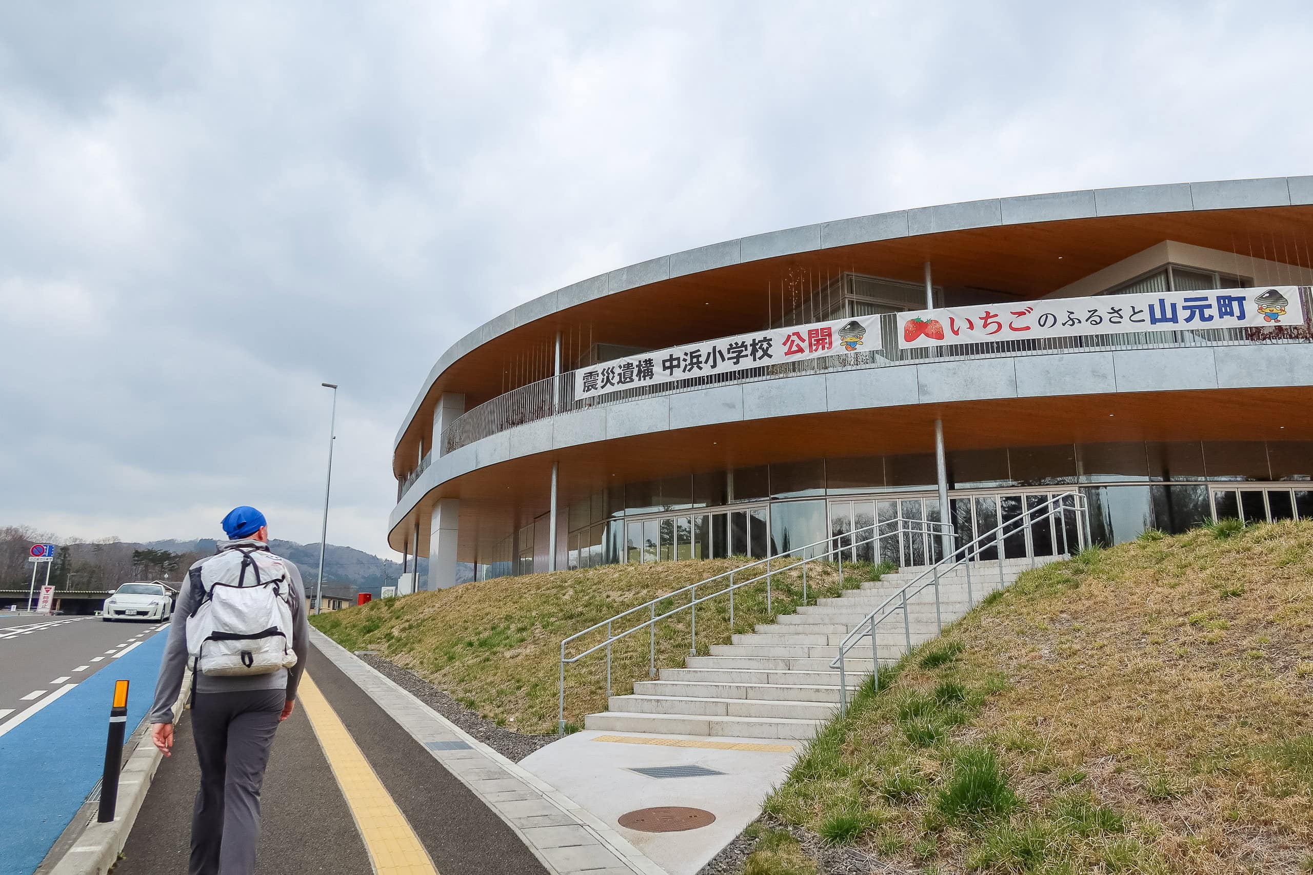
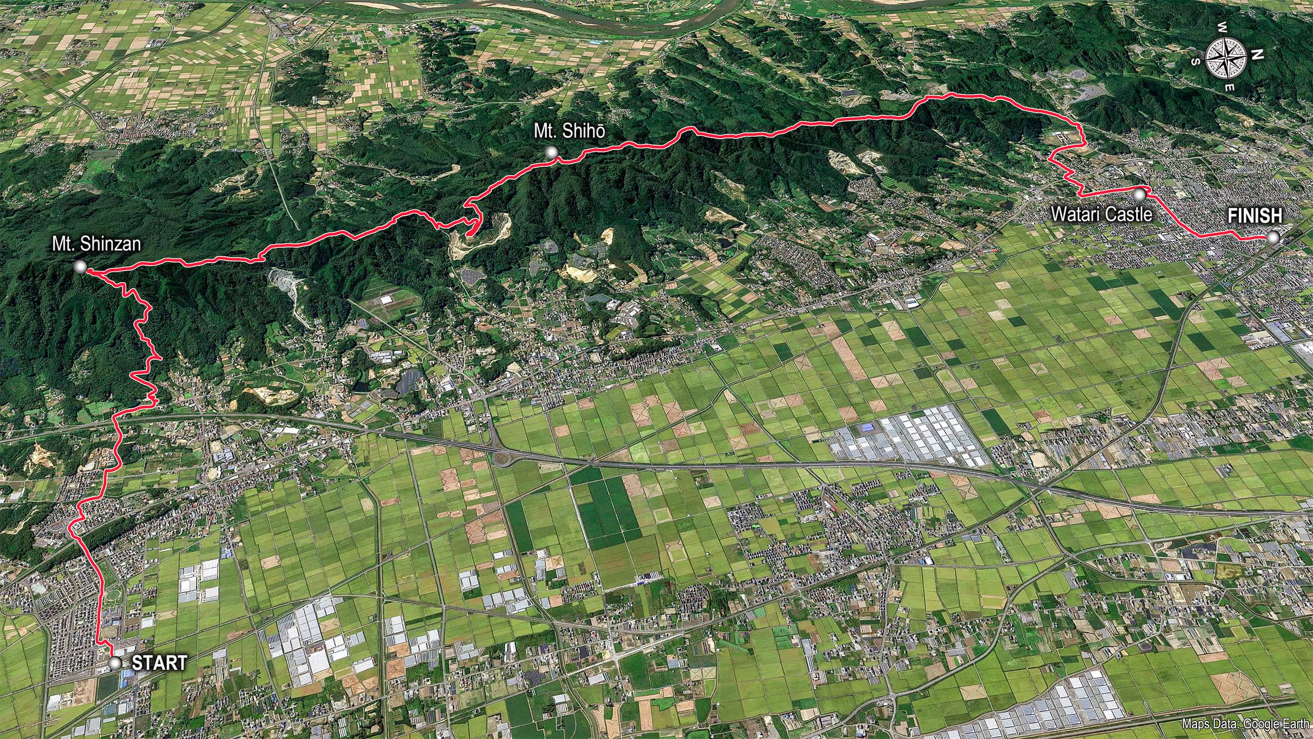
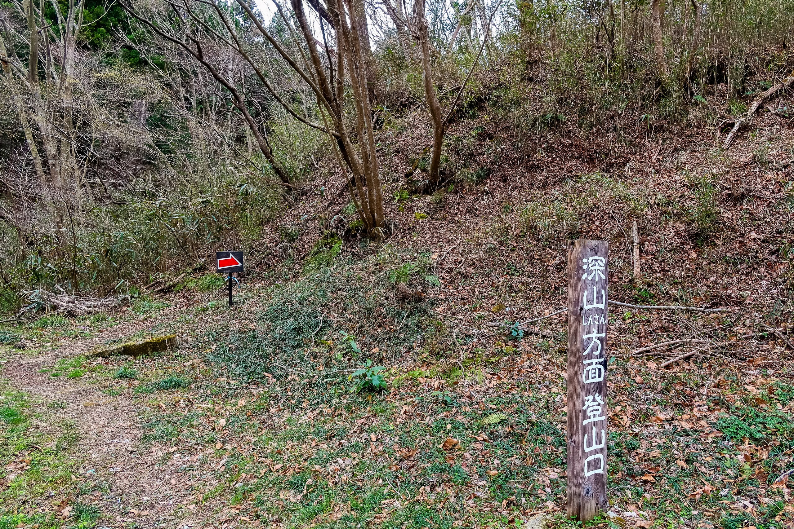
Two train stops from Shinchi brought us back to Yamashita Station. A large grocery store and a few other shops stood in front of the station, but at such an early hour none of them were open. So we headed straight back to the Yamamoto Town Hall 山元町 to rejoin the MCT route.
We already knew we’d be spending most of the day in the shopless mountains, so we’d done our homework.
The grocery store by the station didn’t open until 9:30 a.m., and Google Maps showed no other shops between the station and the trailhead. So, the night before, we’d picked up some bread—lightweight and easy to pack—along with our dinner at the convenience store. There were plenty of vending machines around the station, so I grabbed a bottle of tea “just in case.” (It’s always the just in case bottles that end up haunting you later.)
A Gentle Start at Mt. Shinzan

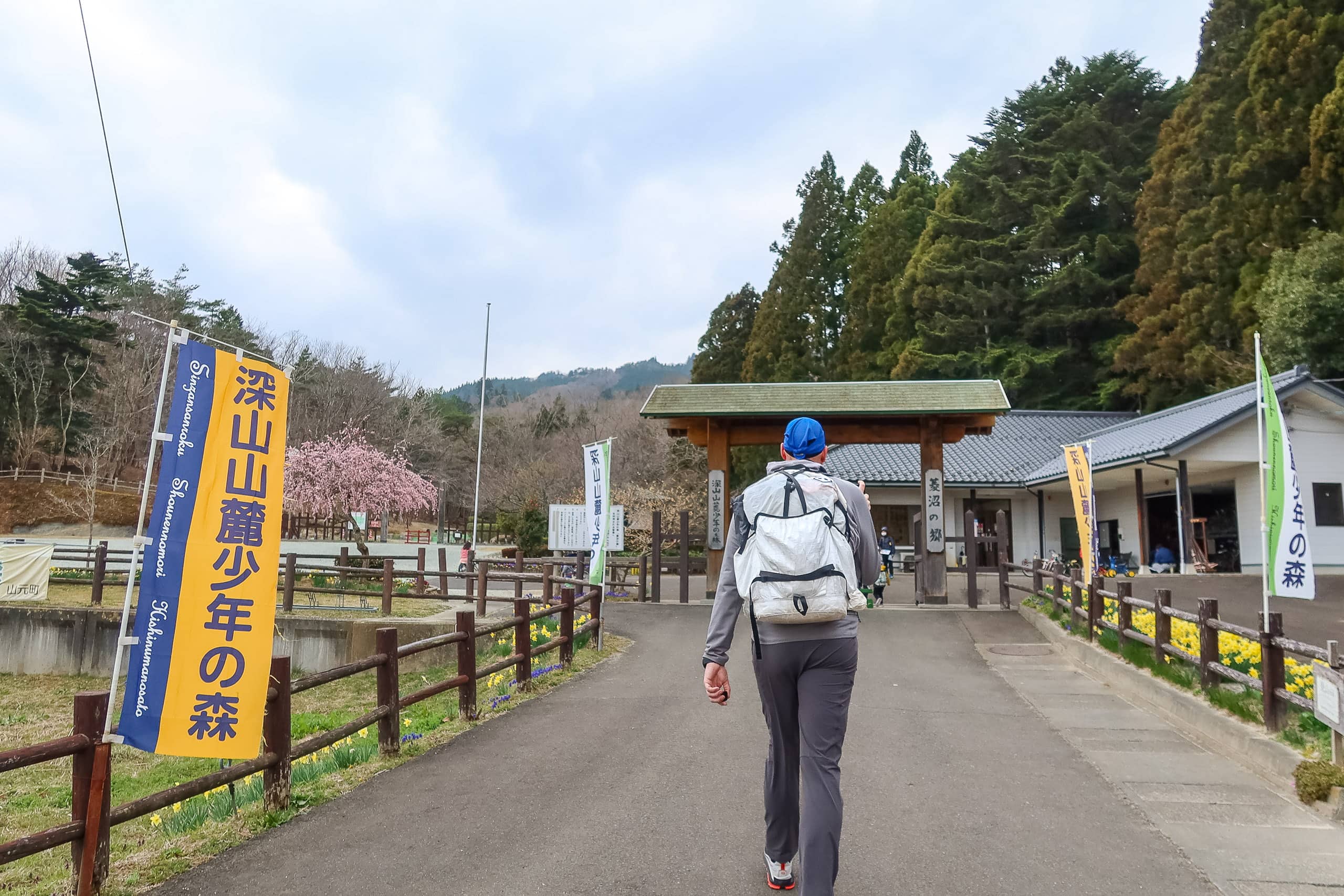
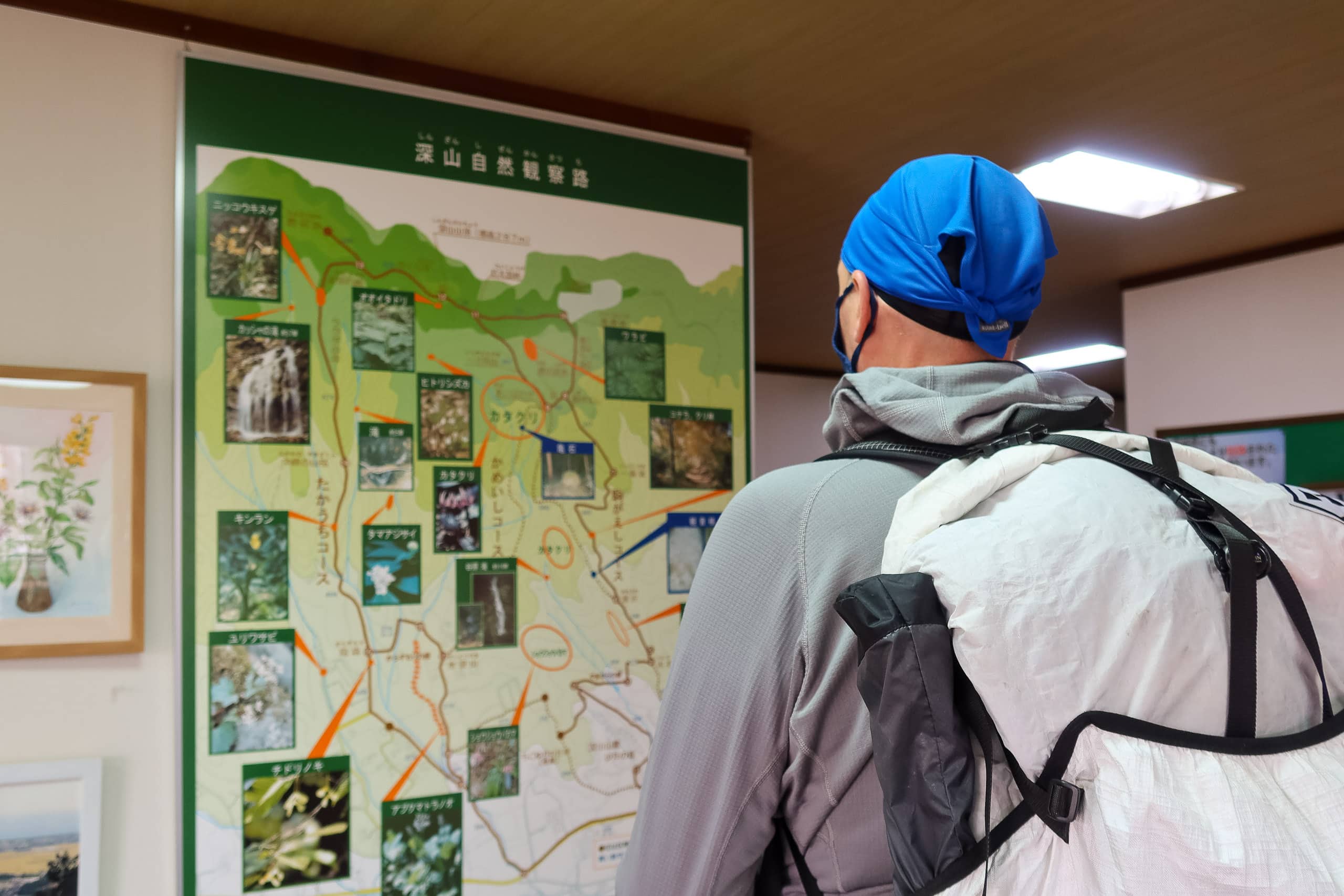
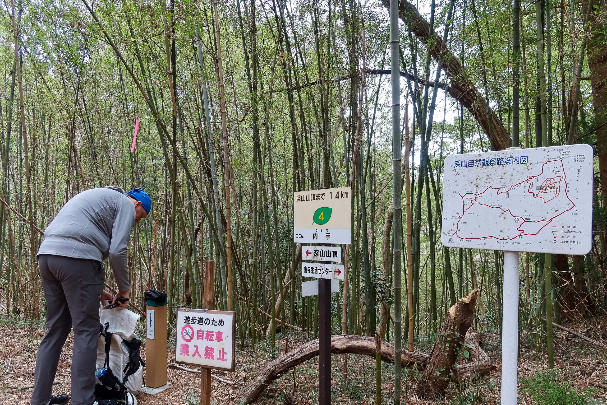
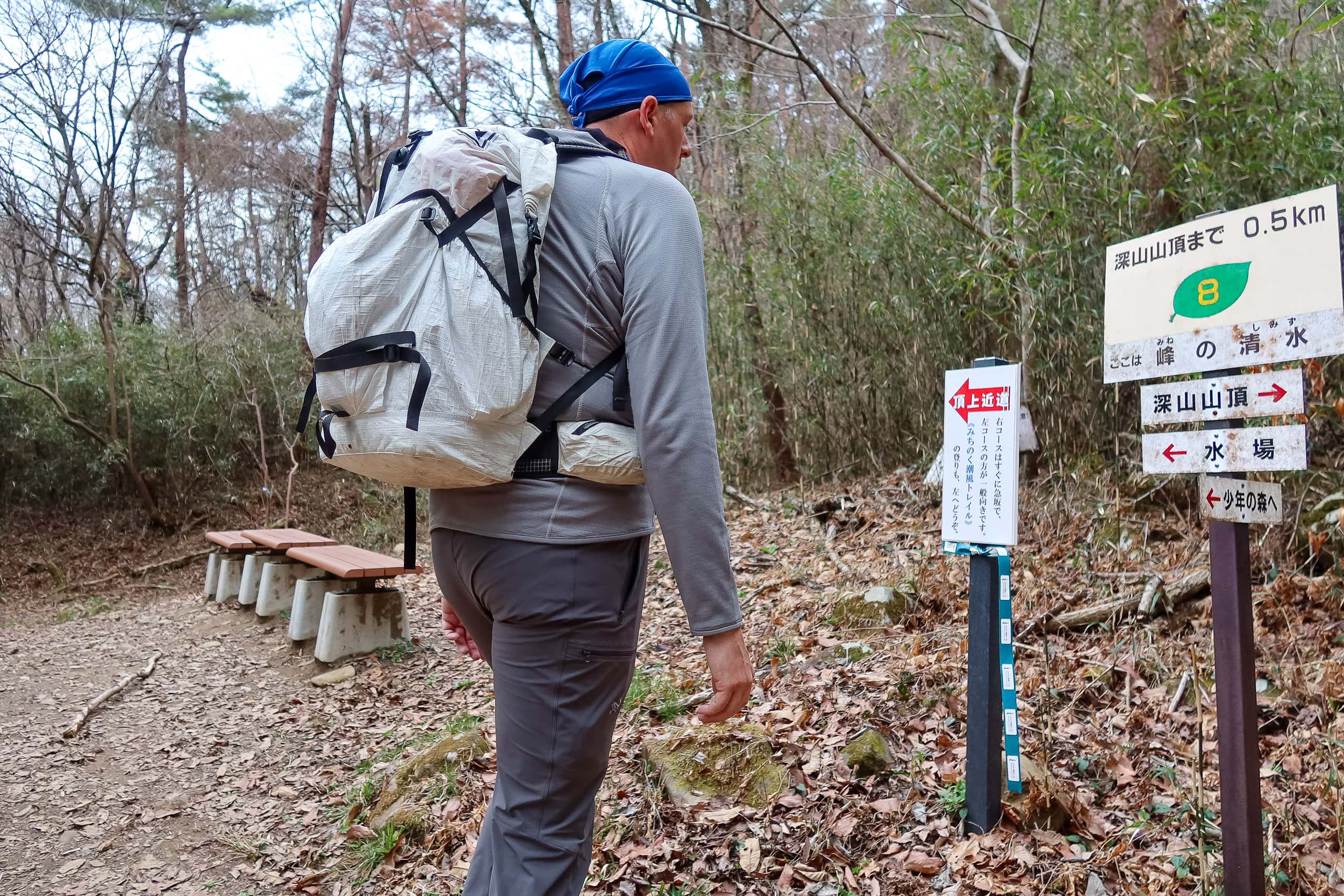
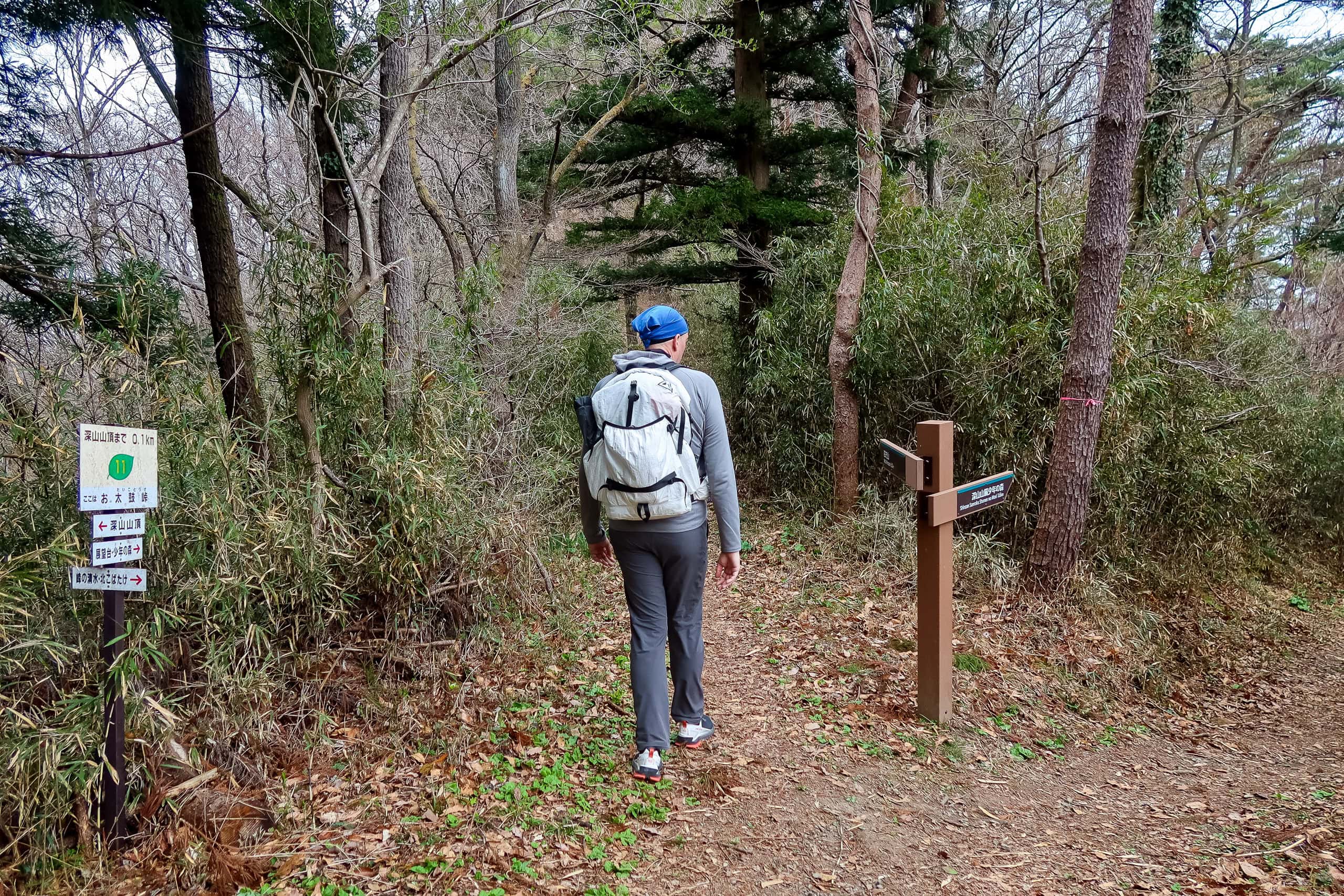
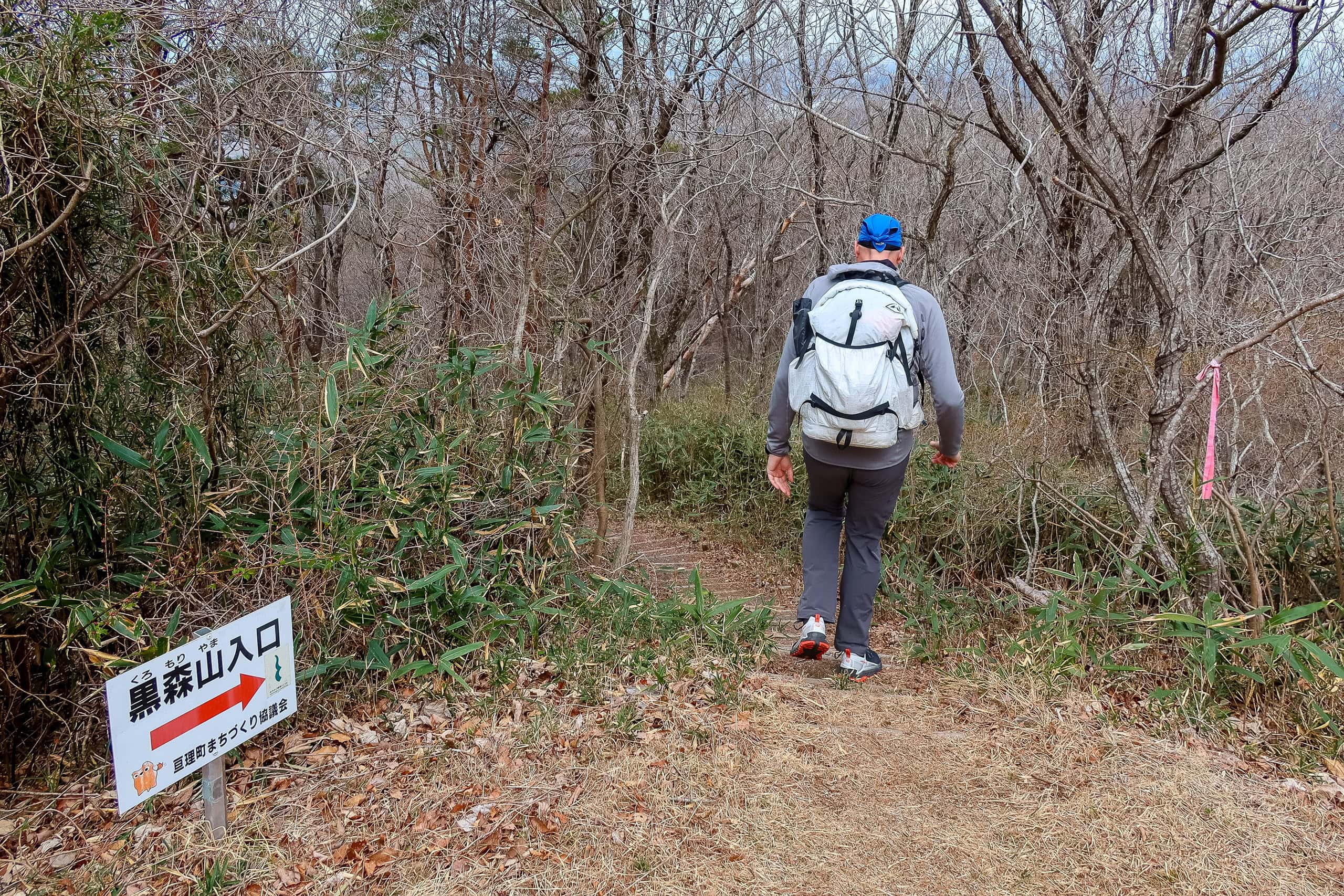
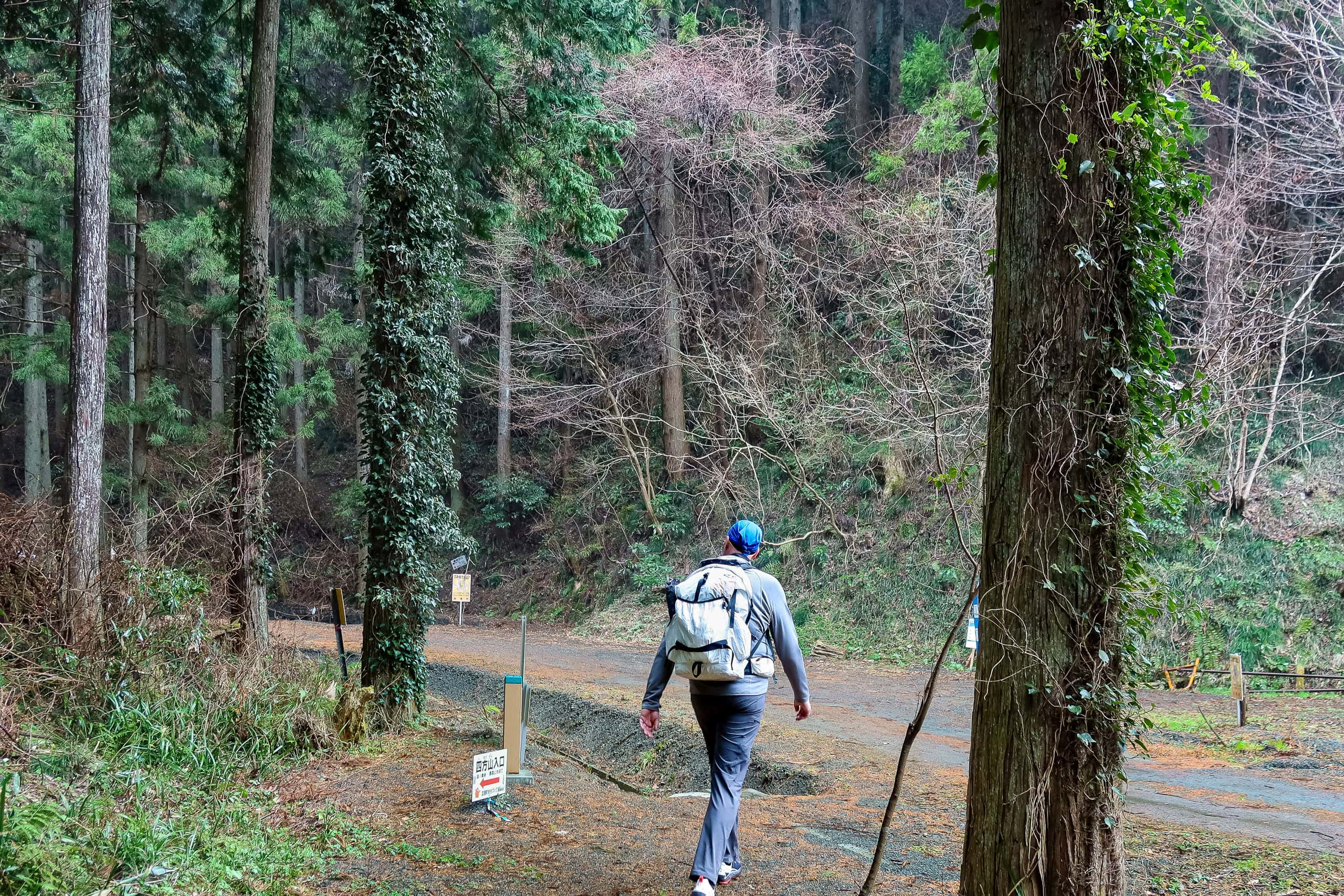
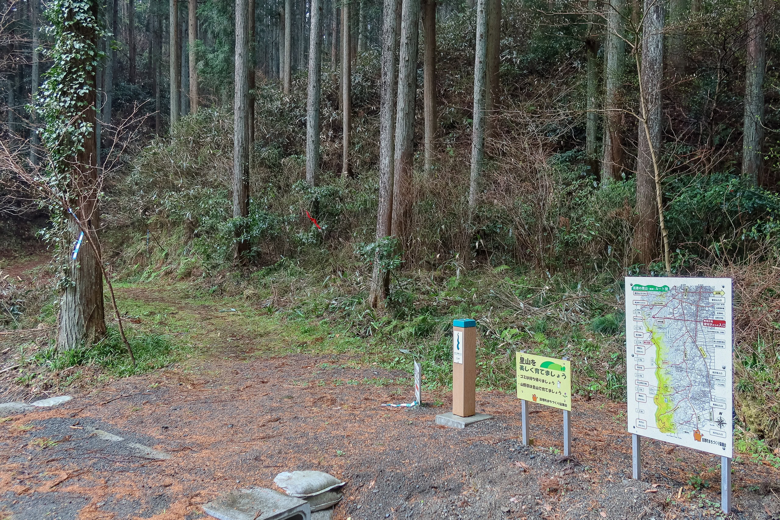
Following MCT signs and the GPS through quiet rural neighborhoods still half asleep in their weekend silence, we arrived at Shinzan Sanroku Shonen-no-Mori 深山山麓少年の森, a family-friendly nature park at the foot of Mt. Shinzan 深山.
Around the park’s information center, a big group of little kids and toddlers were gathering with their moms, each wearing tiny backpacks nearly as big as their own upper bodies. A colorful illustrated trail map showed several routes from the park to the summit of Mt. Shinzan — one of which would be the start of our first multi-peak traverse on the MCT.
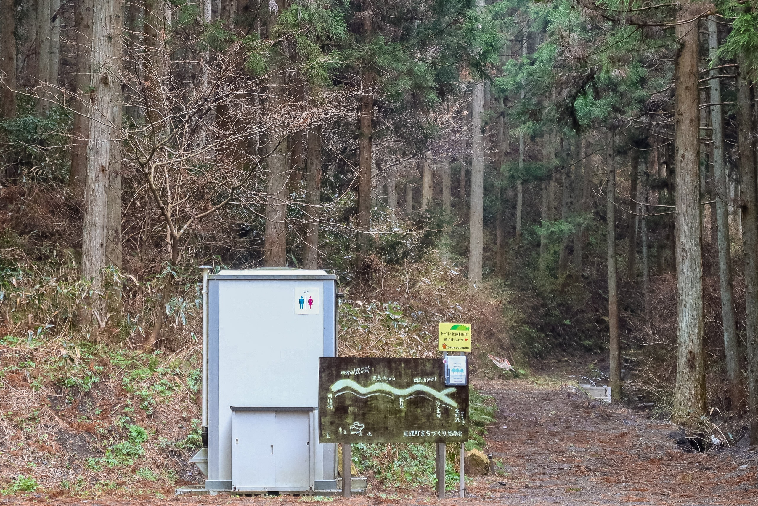
The park’s information center had bathrooms (though note, all Japanese-style toilets) and a vending machine. Which, of course, meant I hadn’t needed to buy that tea at the station — or lug an extra 600 grams up a mountain. If only I’d known…
We quickly got ready and hurried toward the trailhead, following behind the little kids who were cheerfully skipping in the same direction. We didn’t want this small army of excited hikers racing and shouting ahead of us the whole way up. Thankfully, their moms kept them close, never letting the little ones run too far or out of sight.
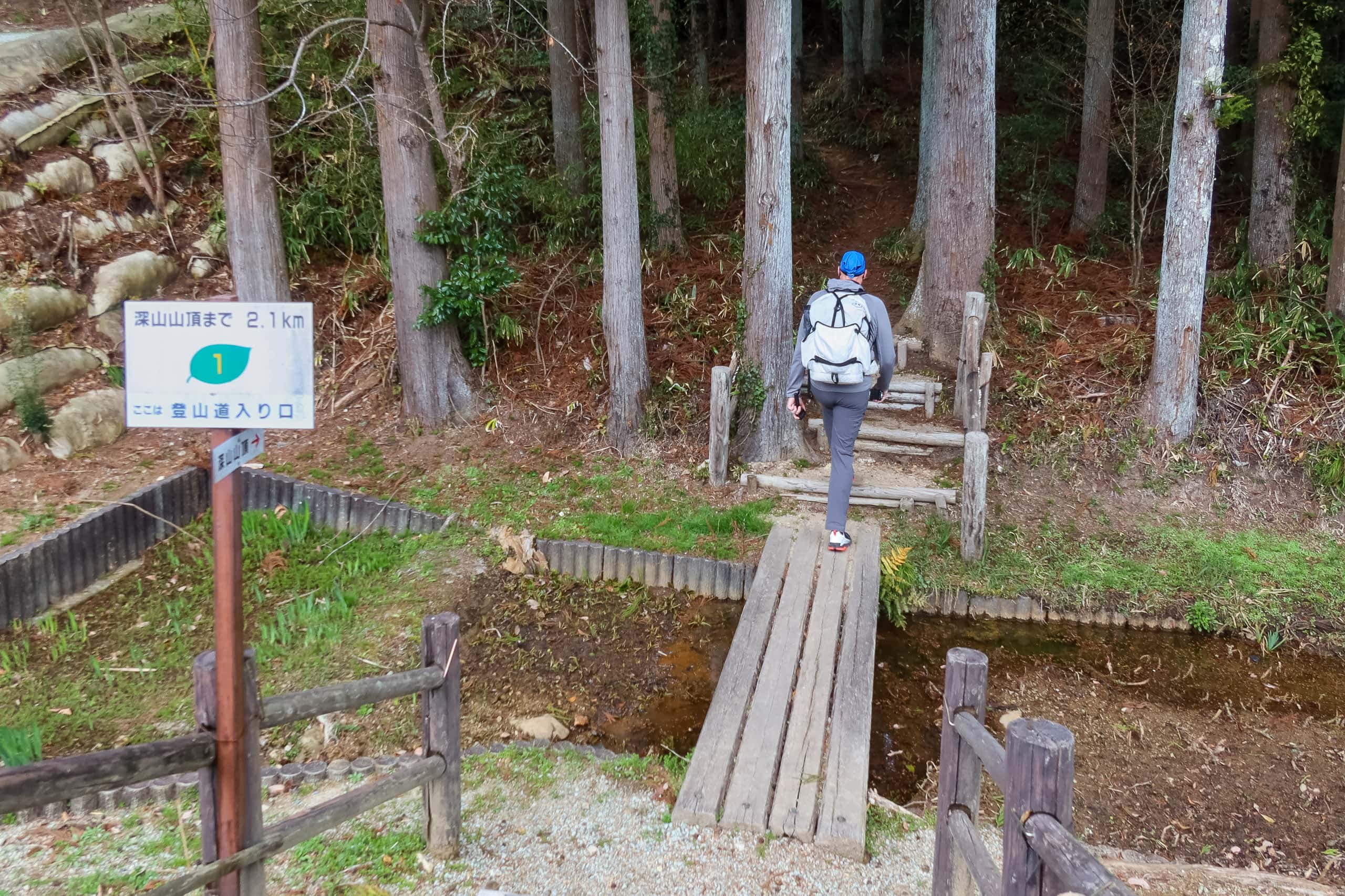
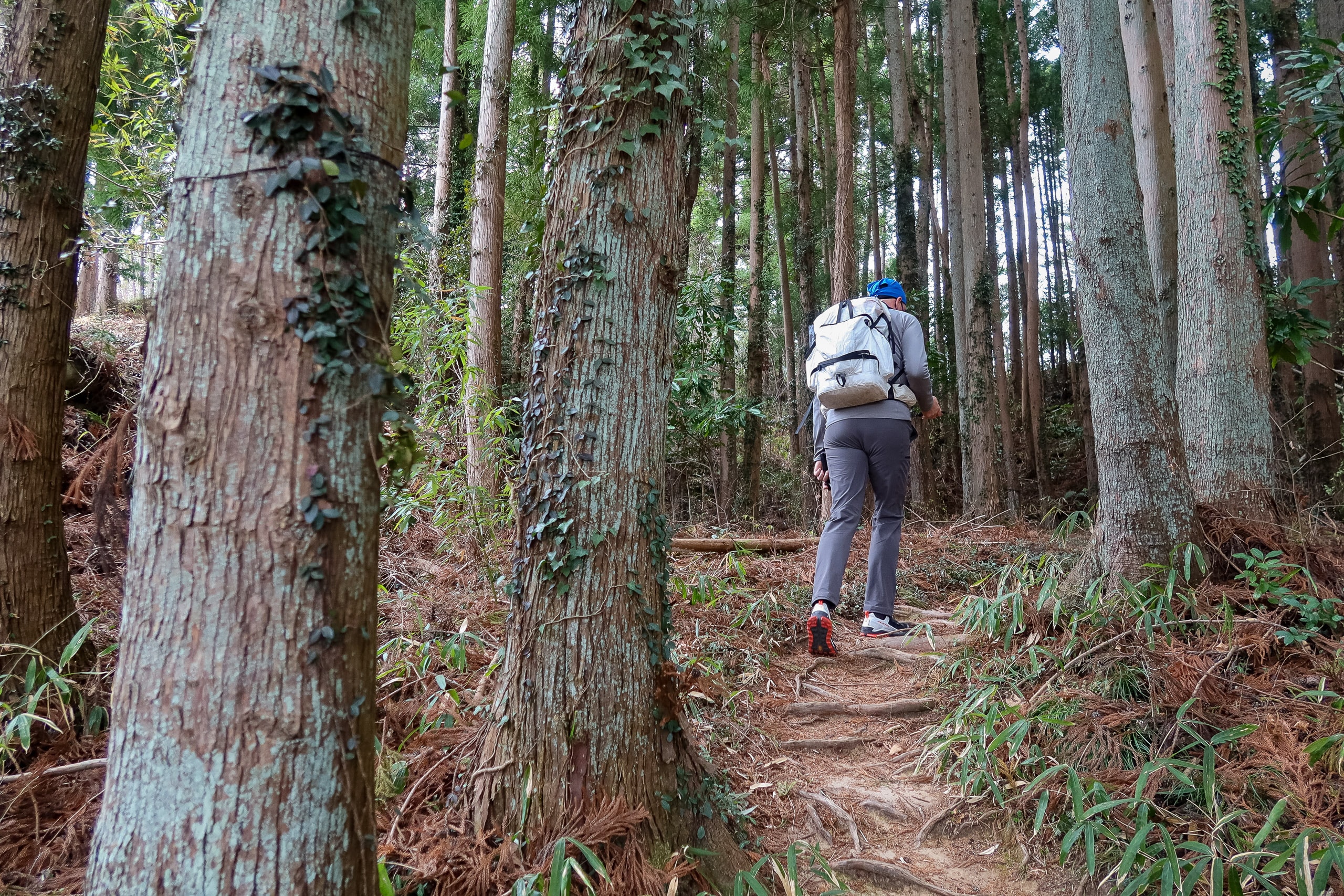
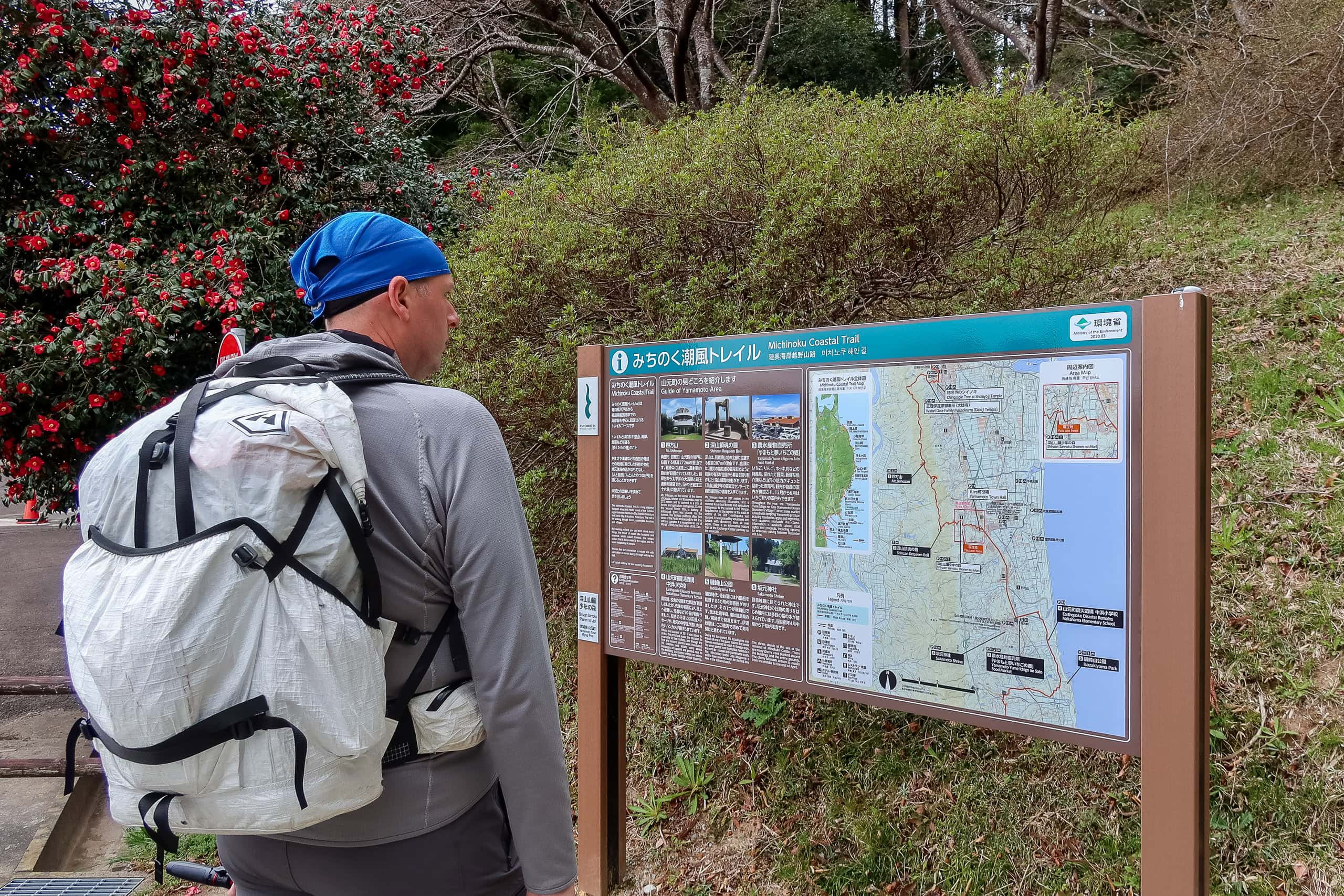
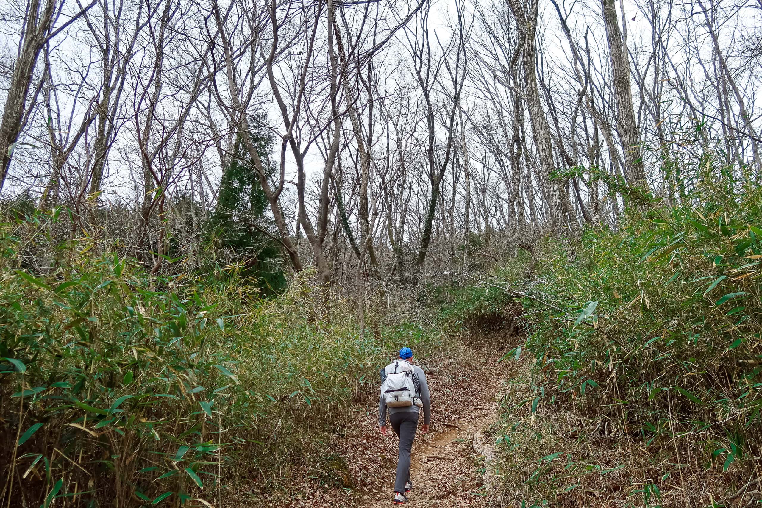
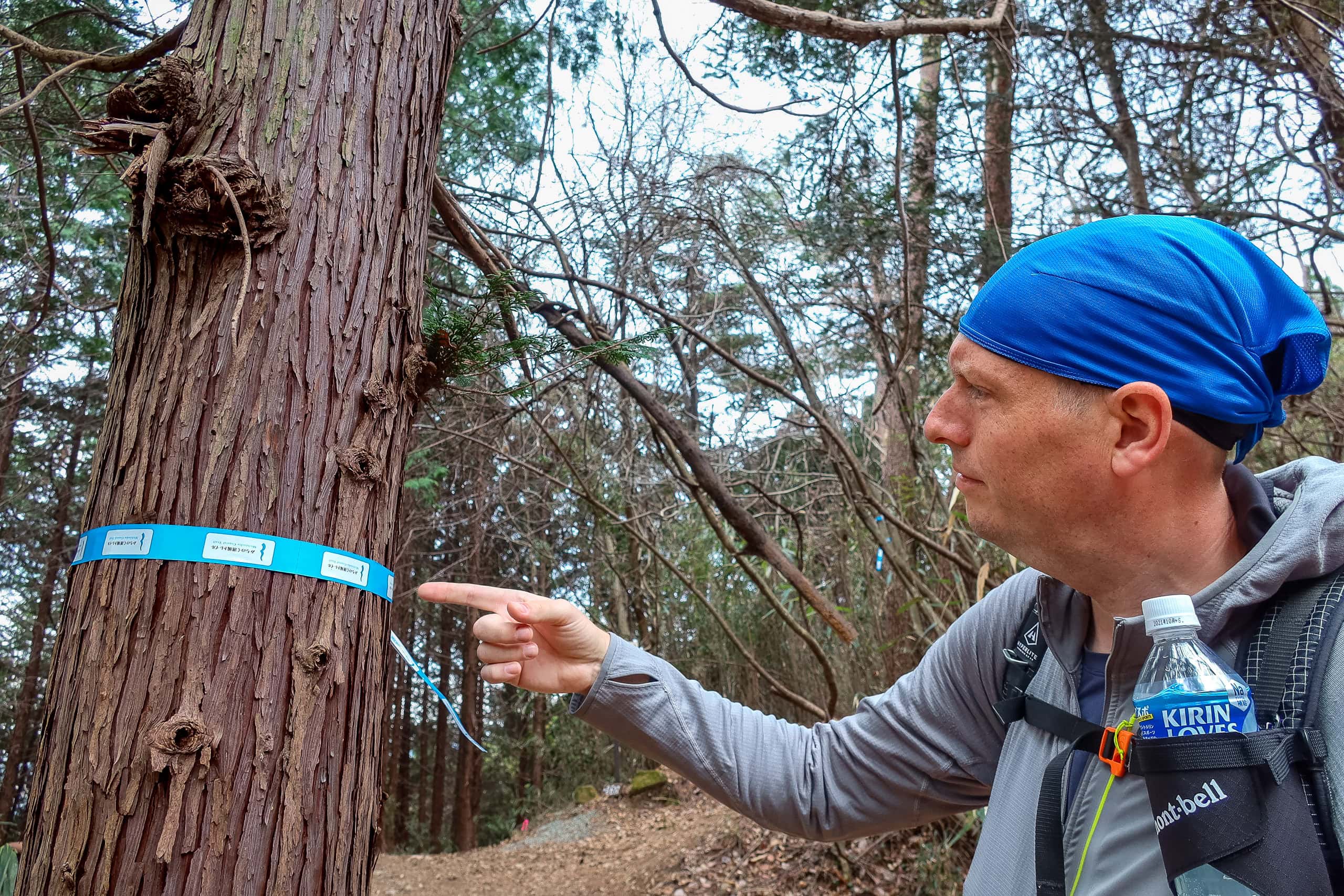
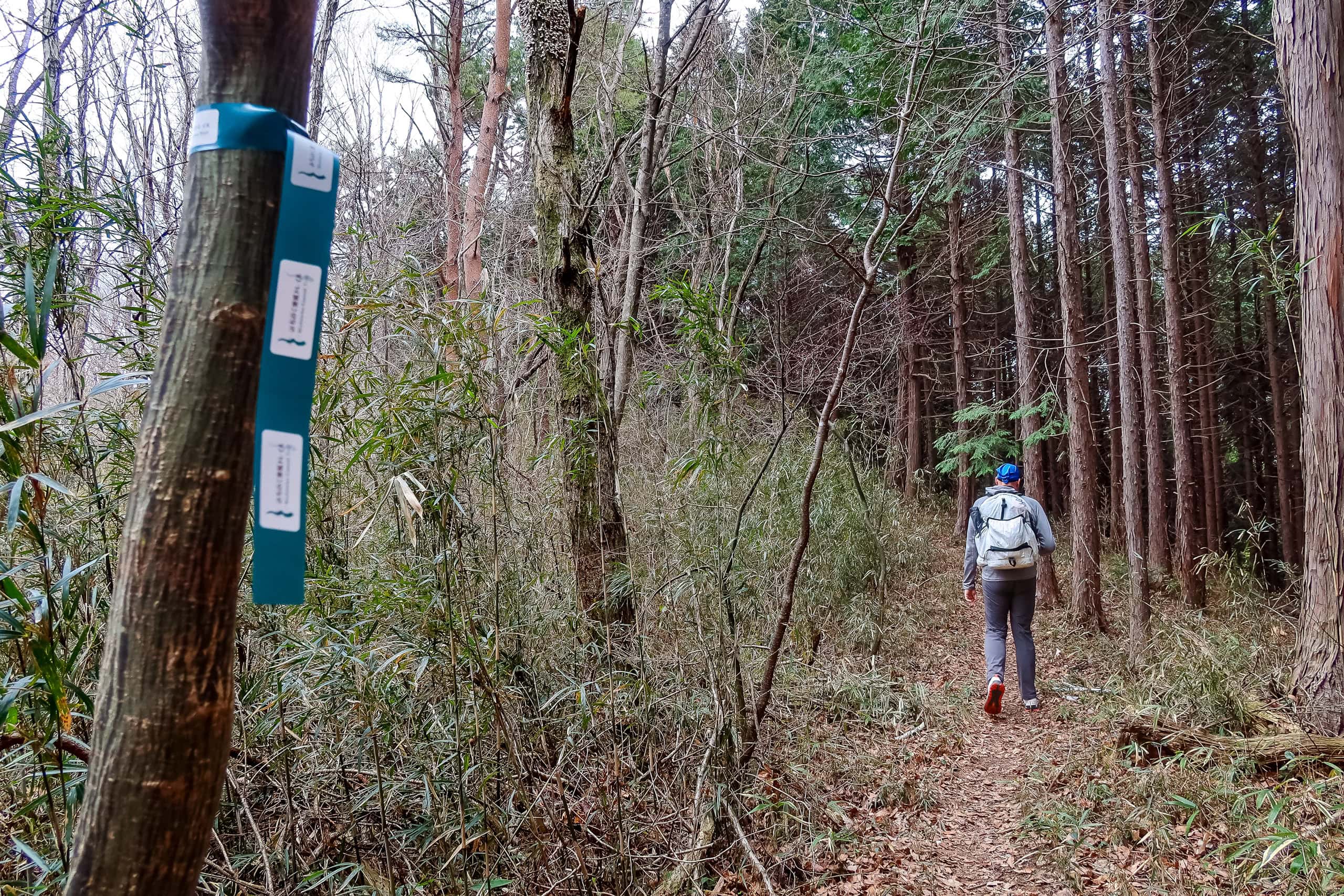
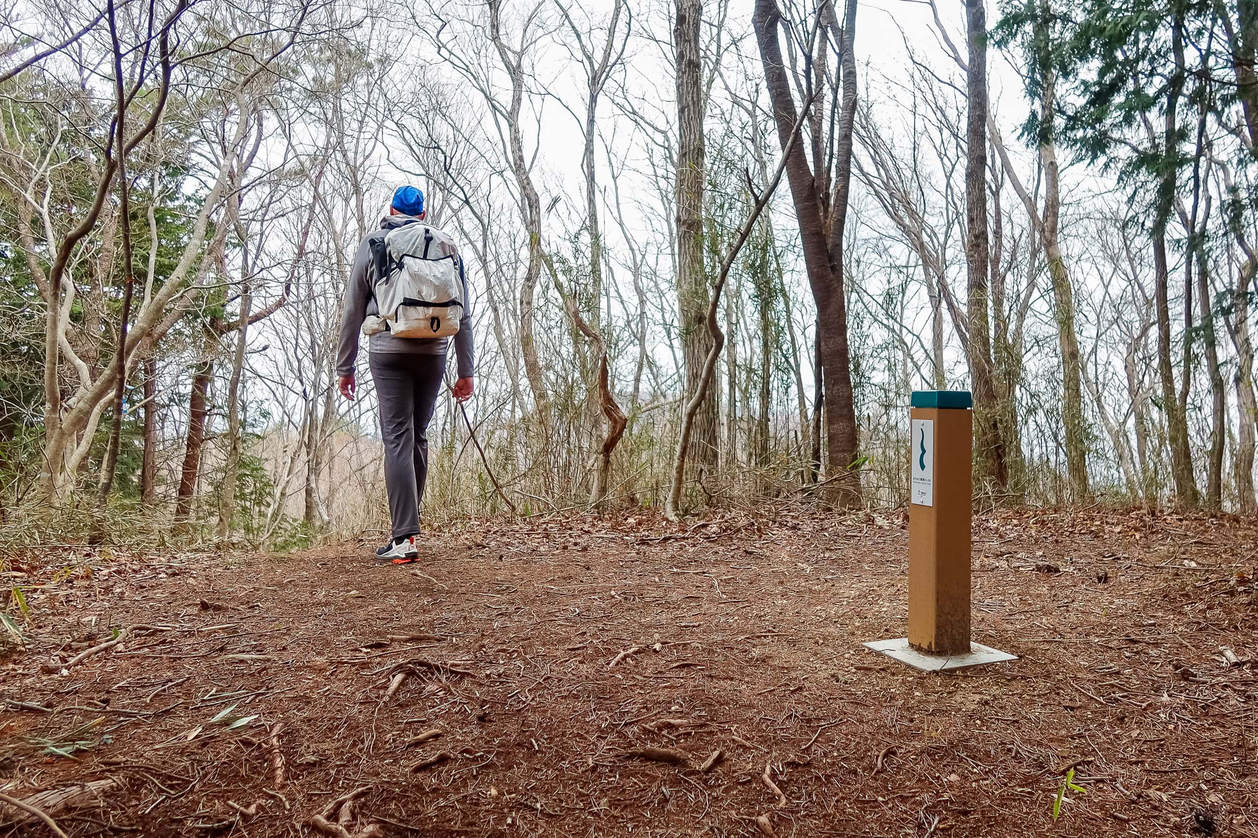
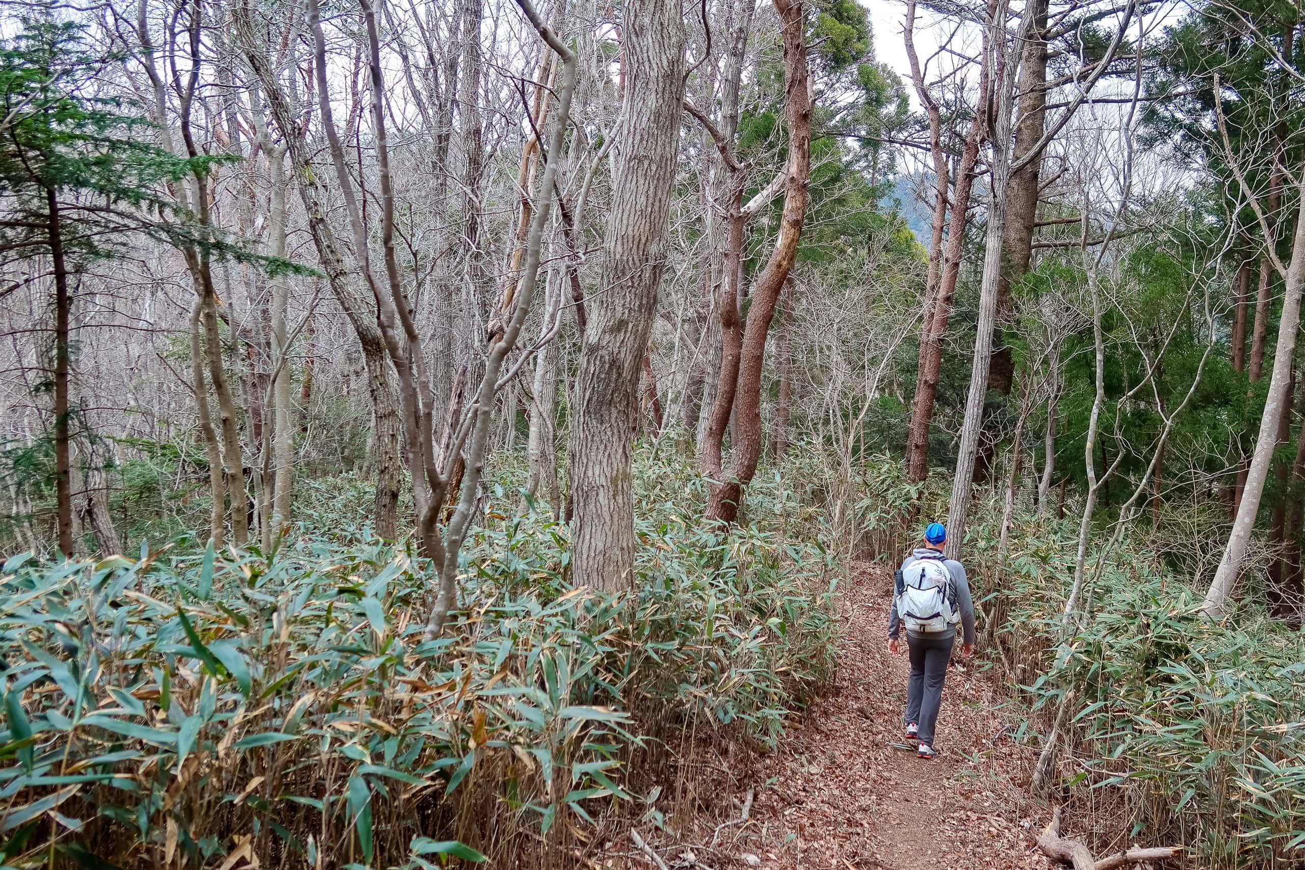
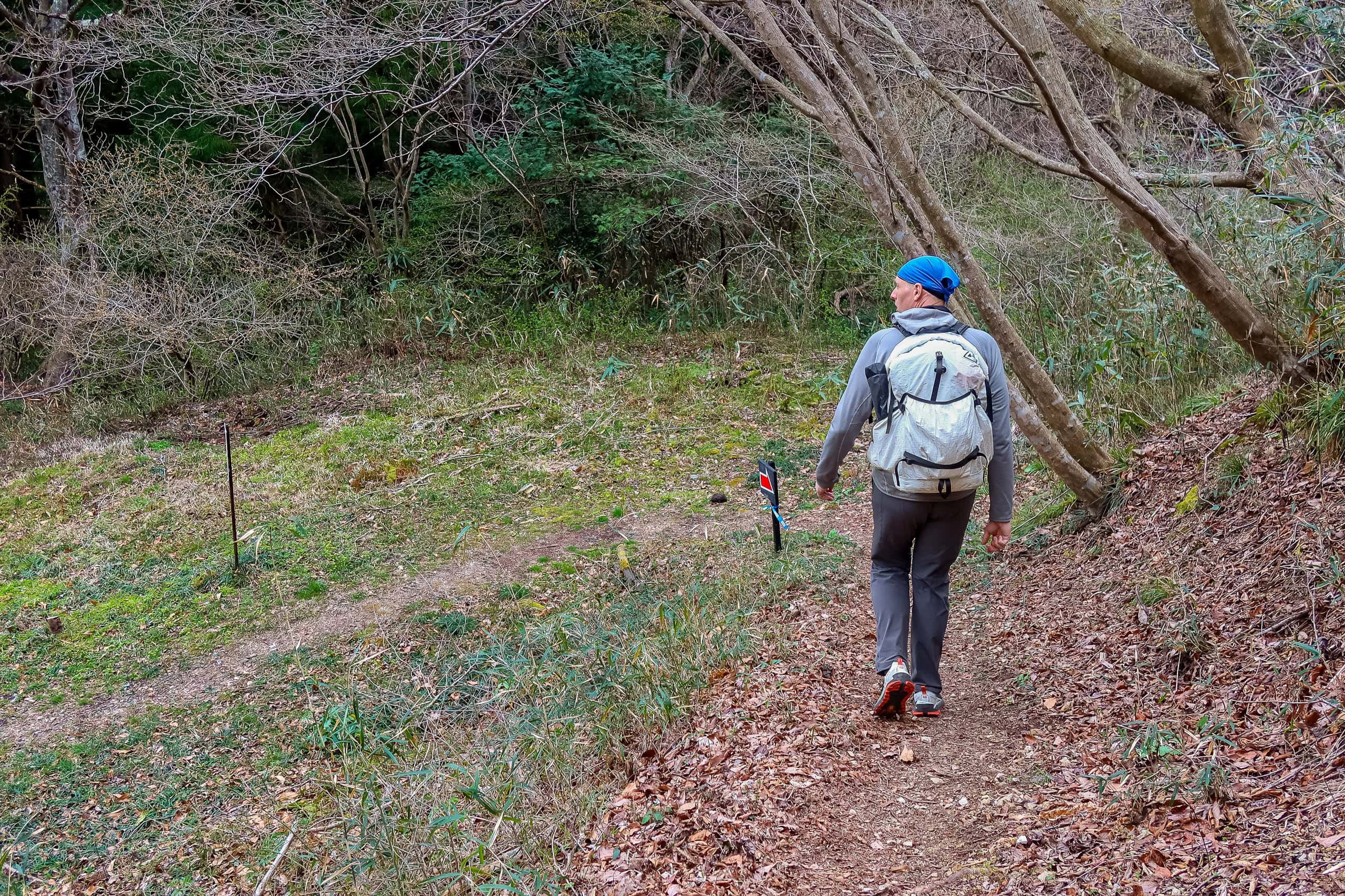
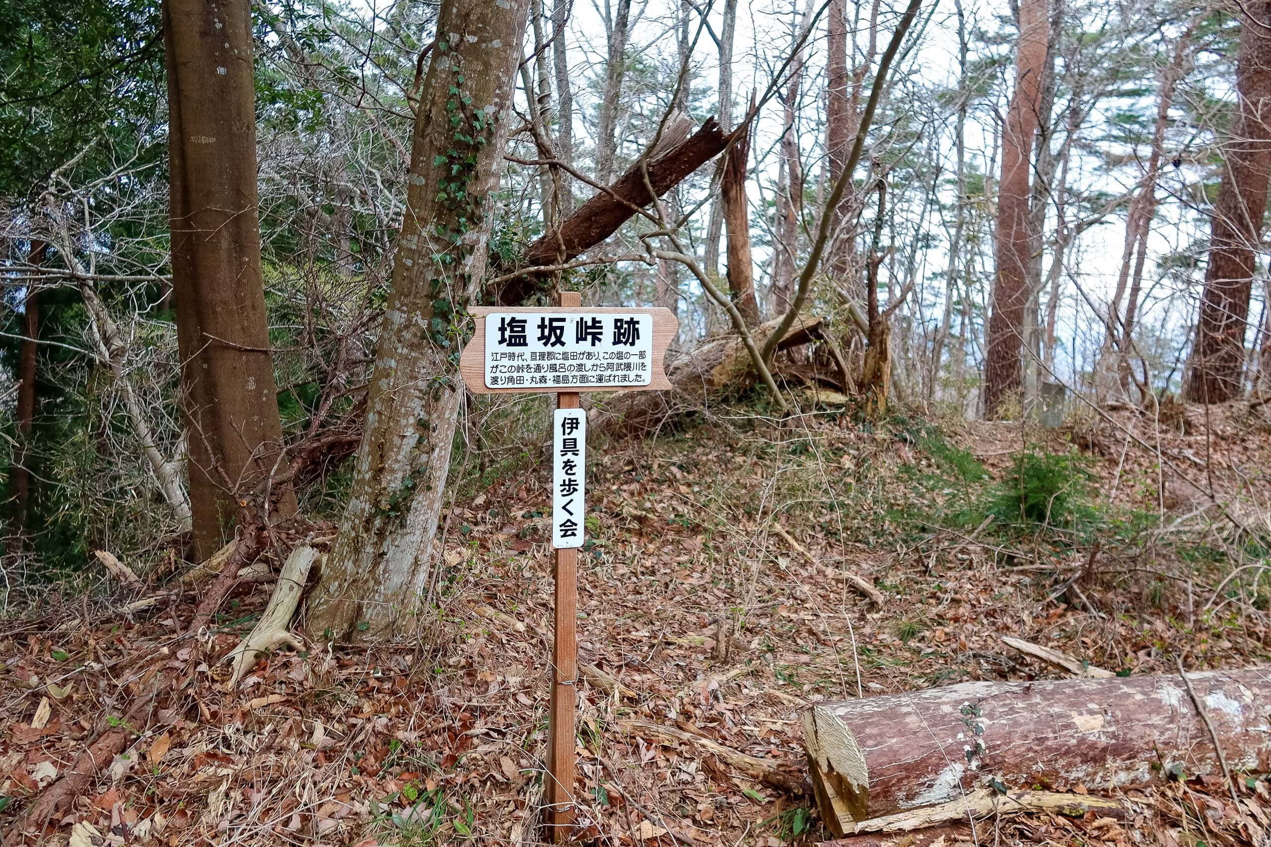
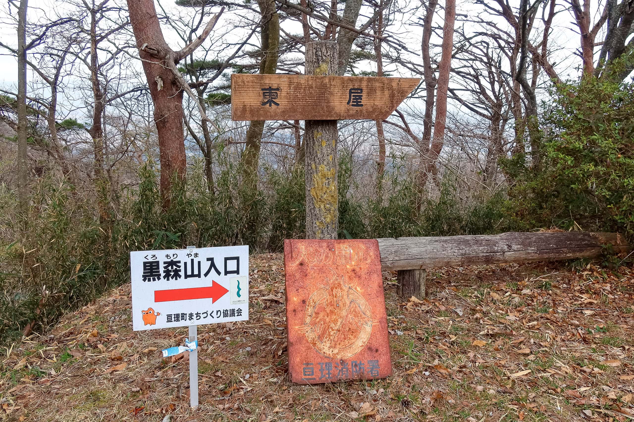
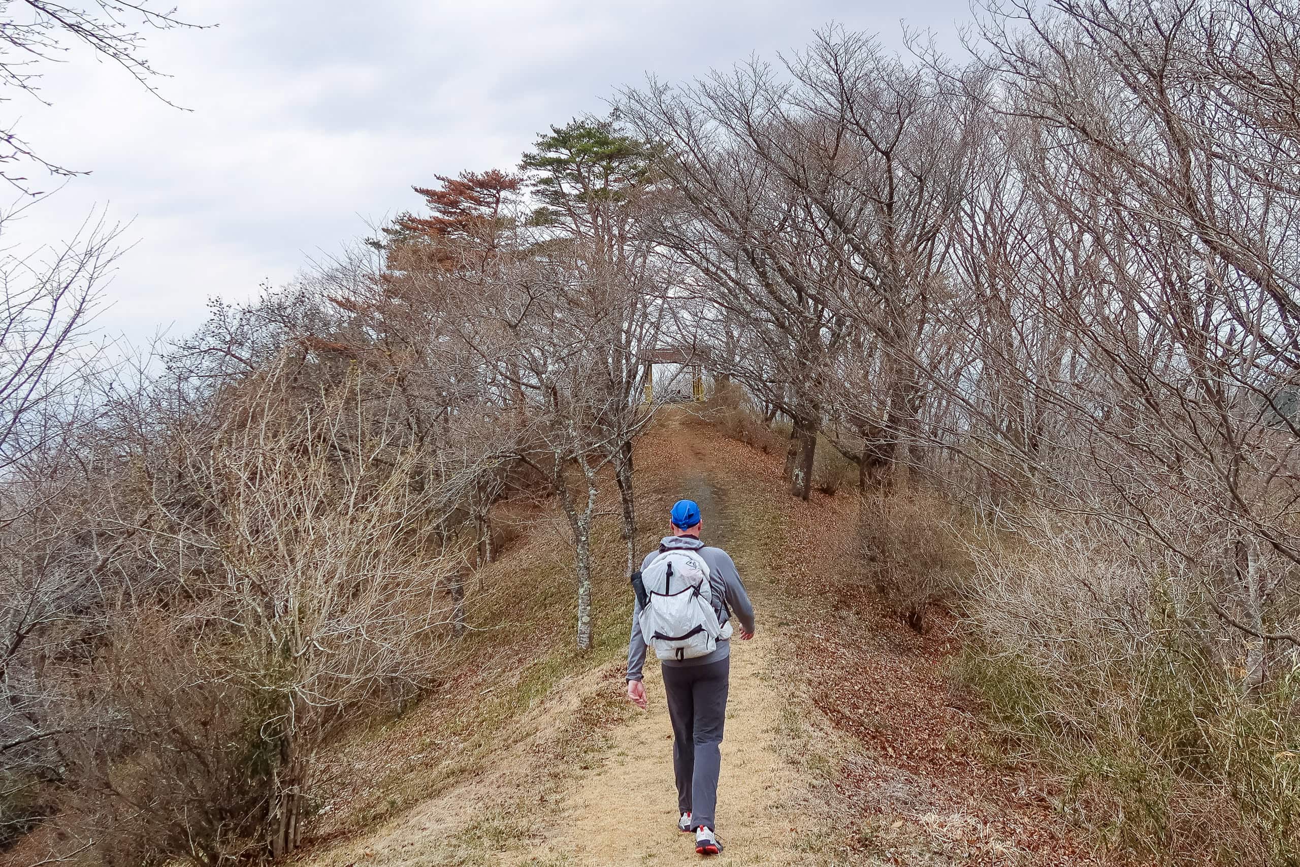
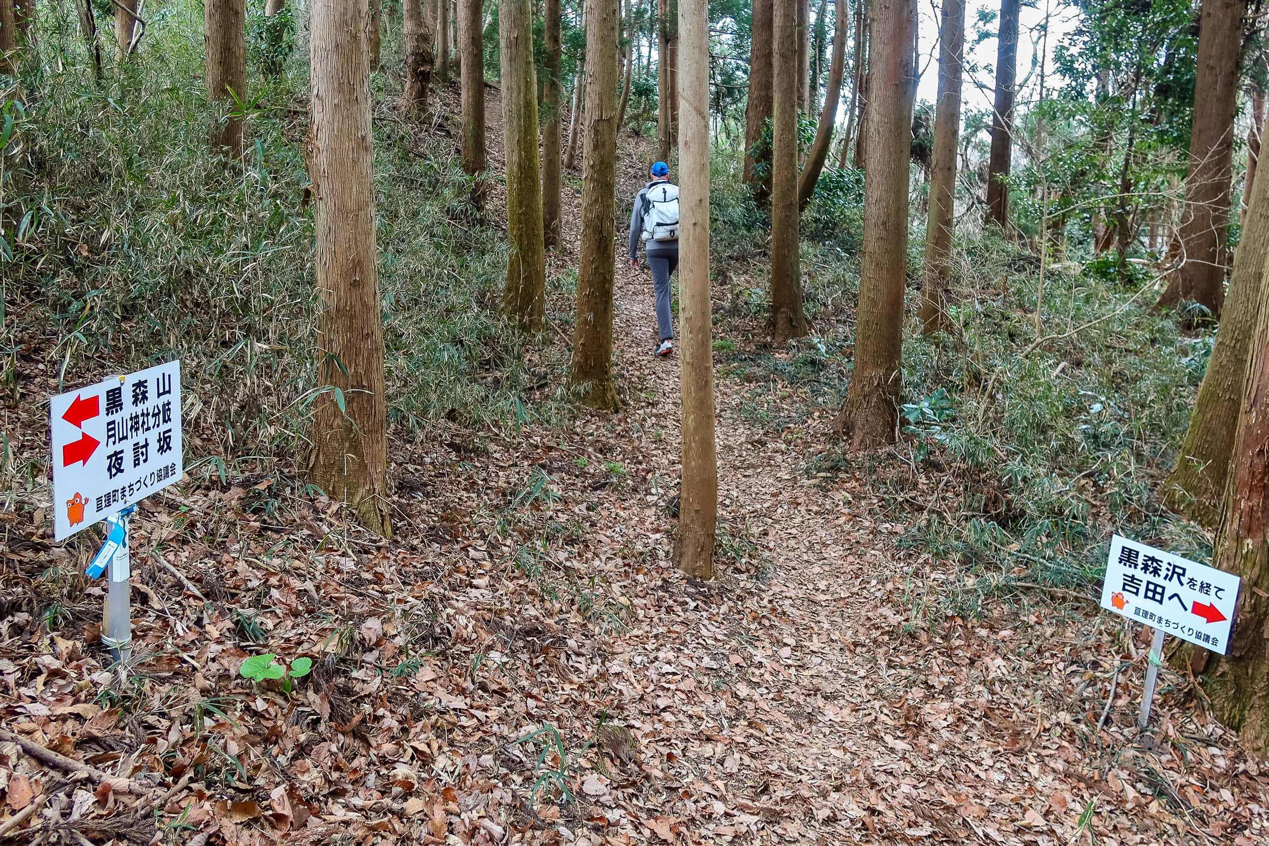
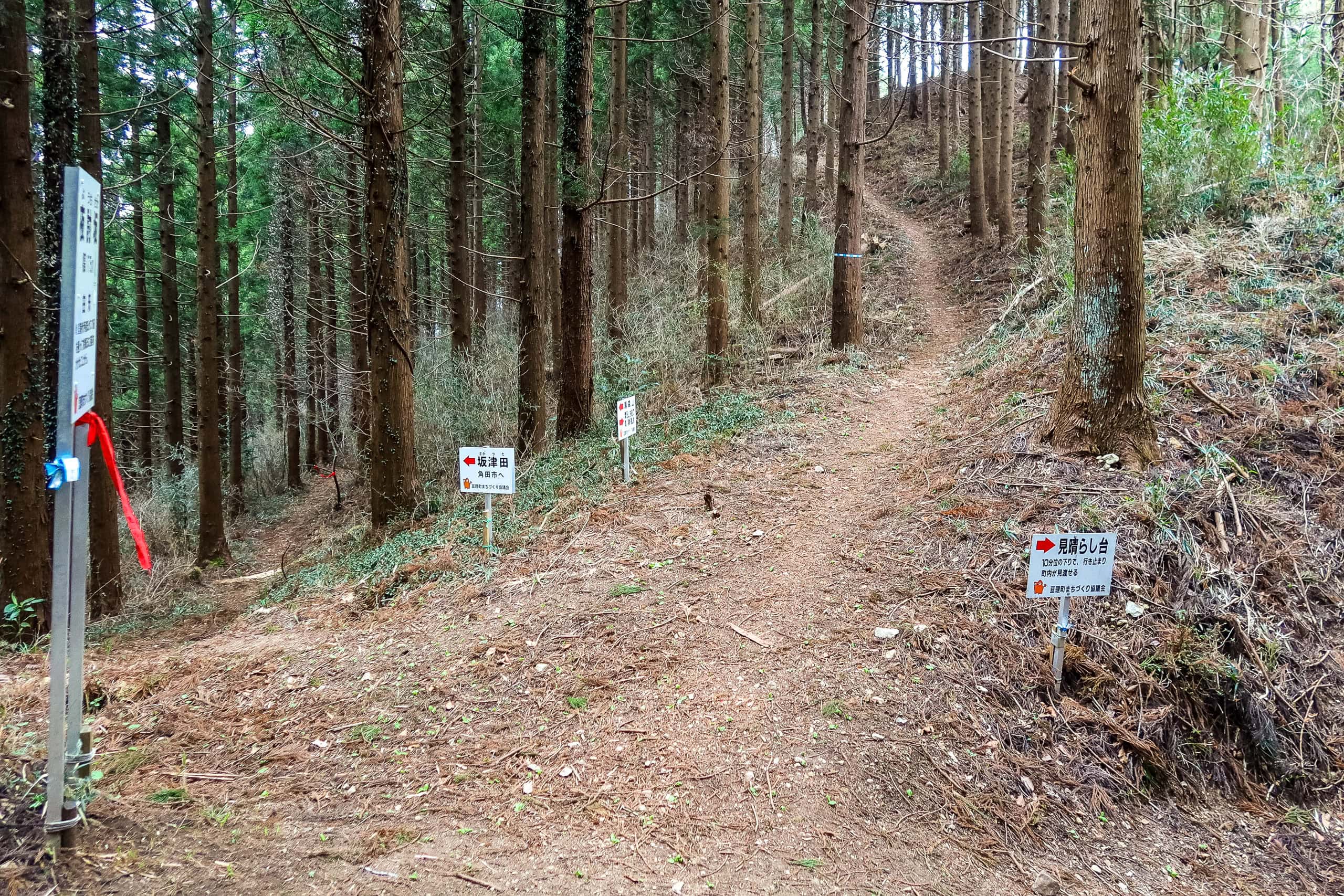
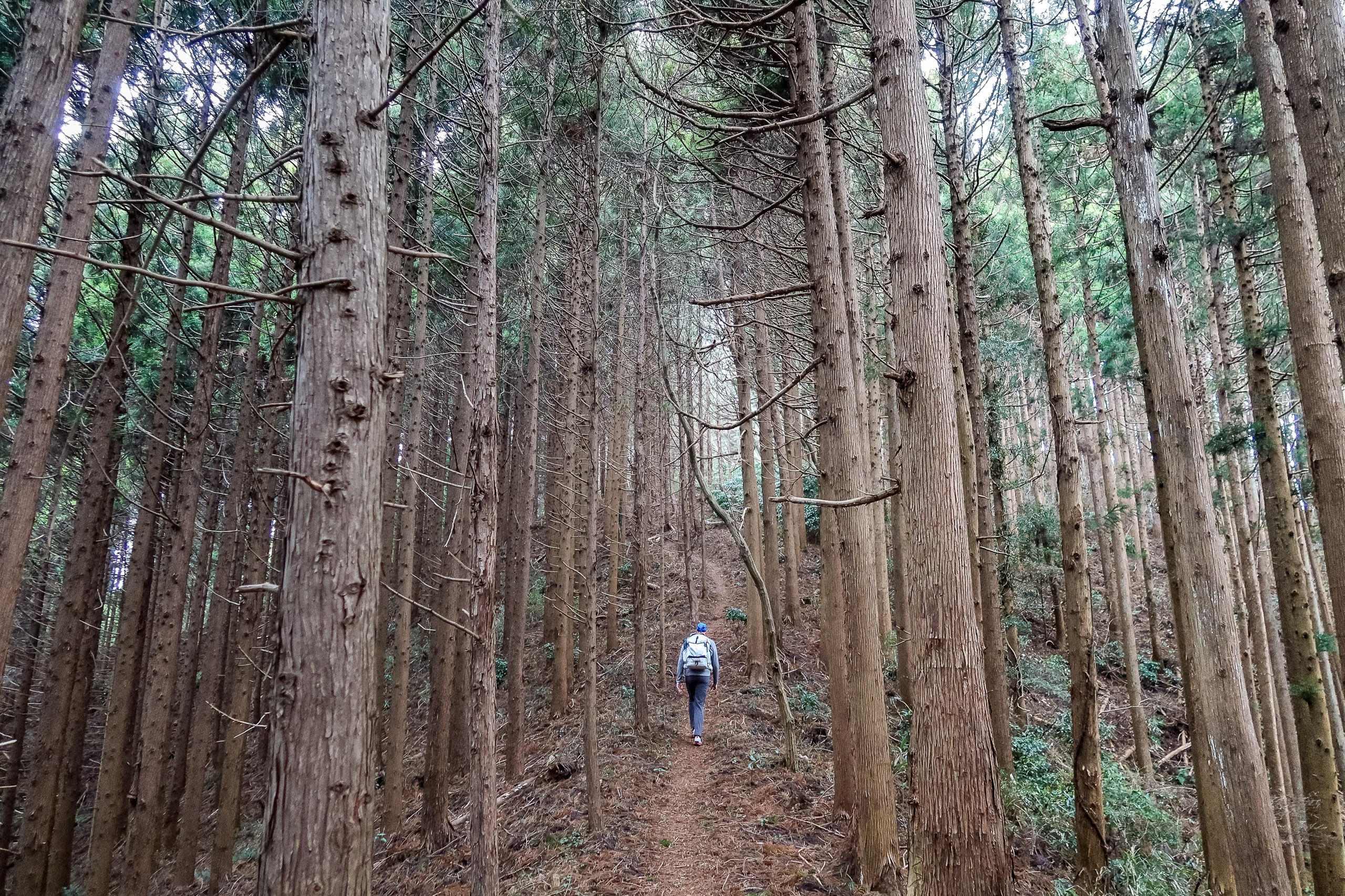
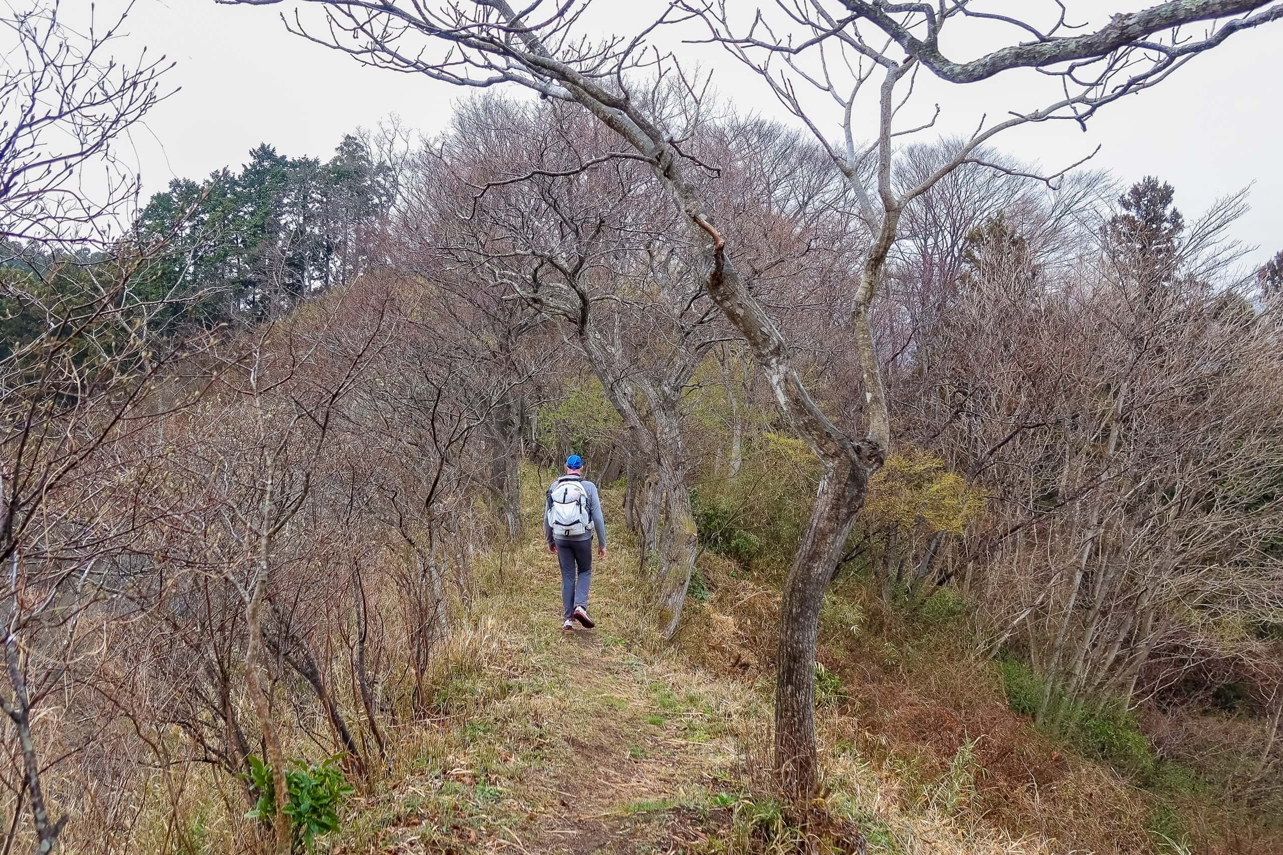
The Mt. Shinzan trail was more of a gentle forest path than a true mountain climb — otherwise, the toddlers wouldn’t have been here. The slope was mild, and the trail well marked with signboards and arrows at every fork. Even though most signs were in Japanese, the familiar MCT stickers and new blue-green MCT logo tapes tied around poles and hanging from branches made the route easy to follow.
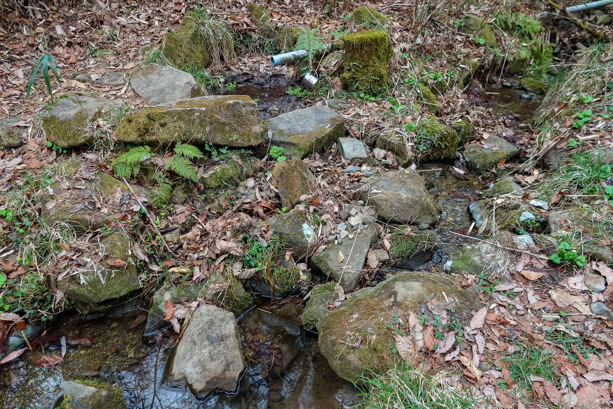
A small mountain spring crossed the path, and someone had left a steel cup there for hikers to drink from — a small but thoughtful touch.
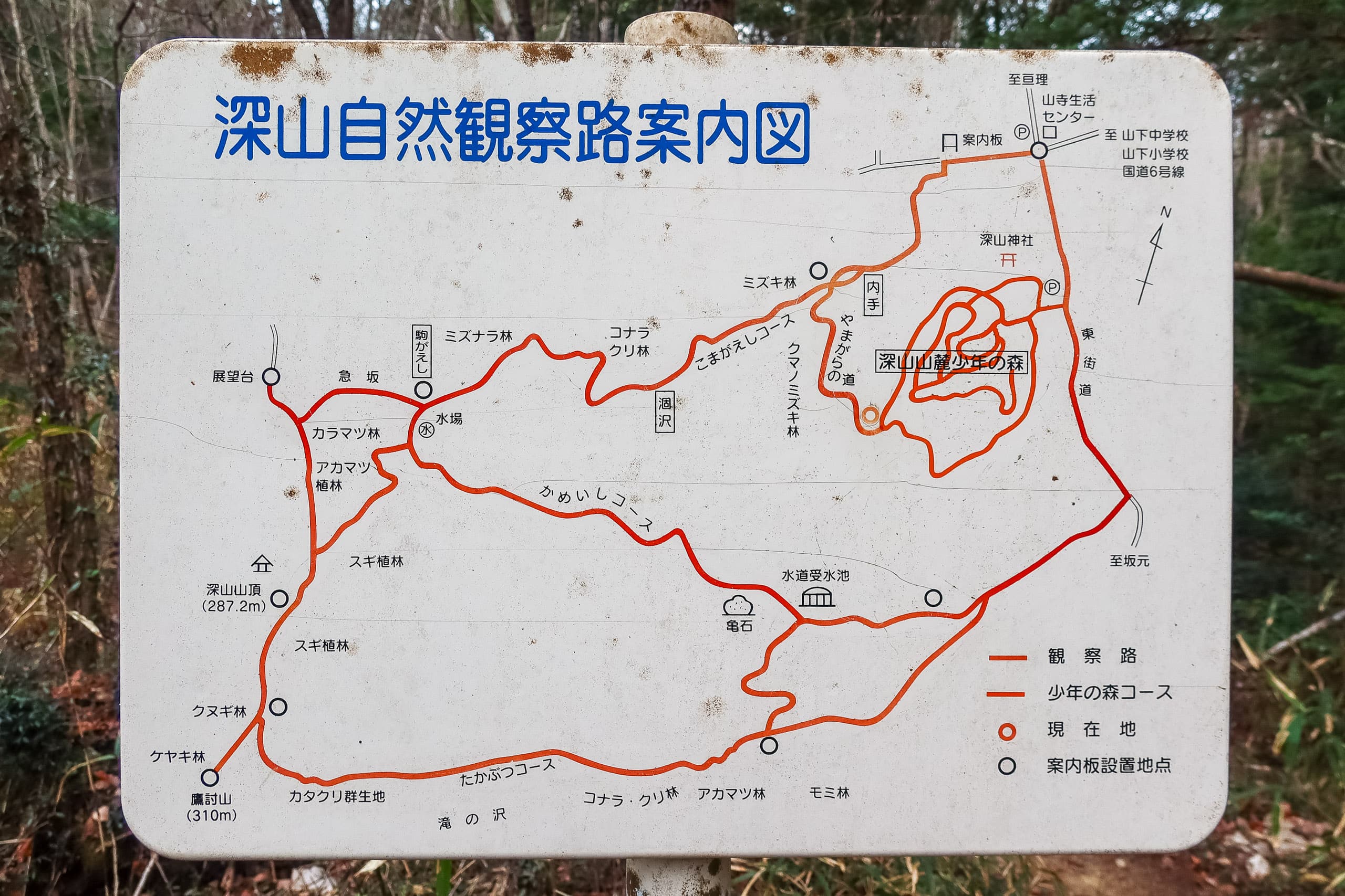

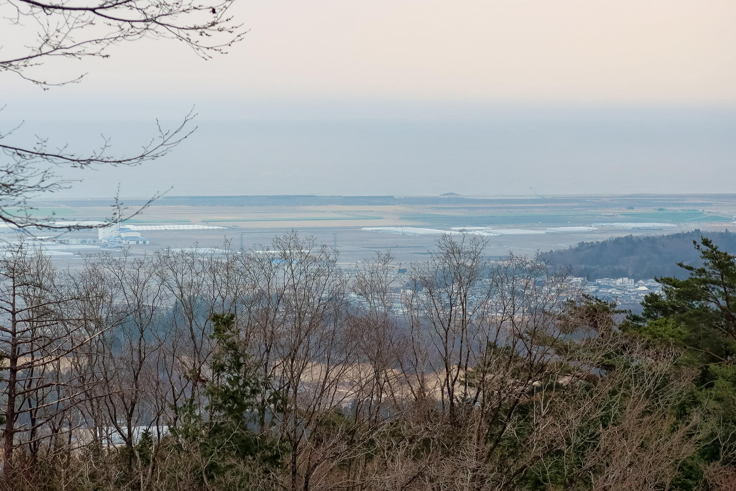
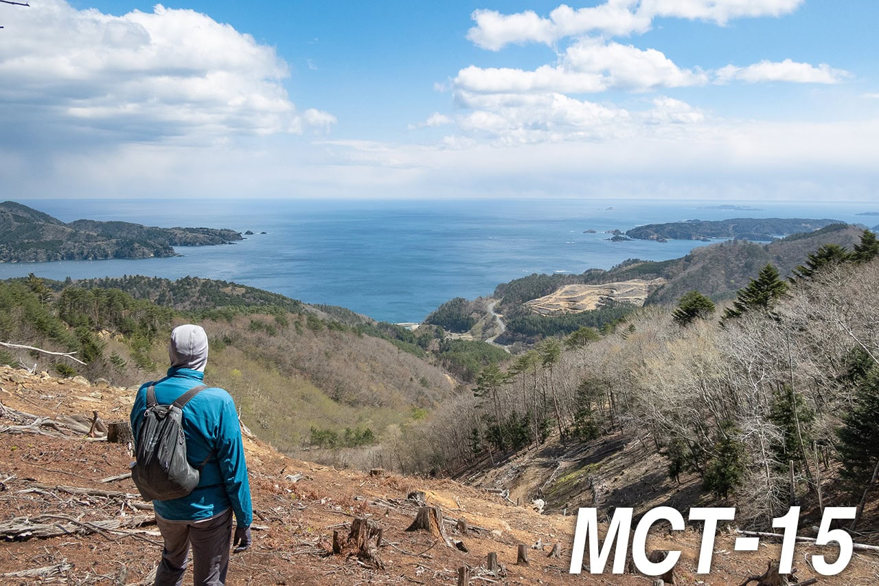
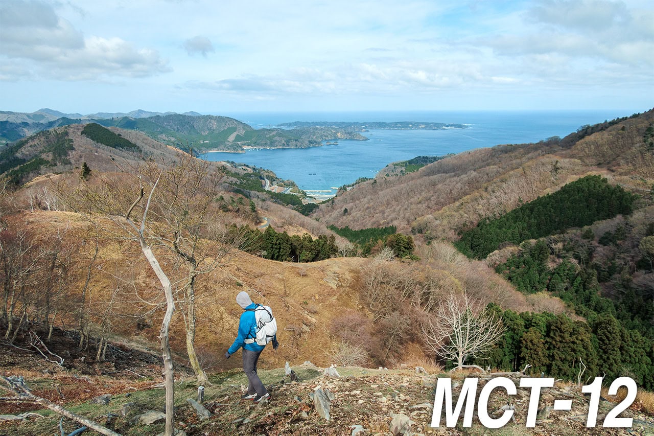
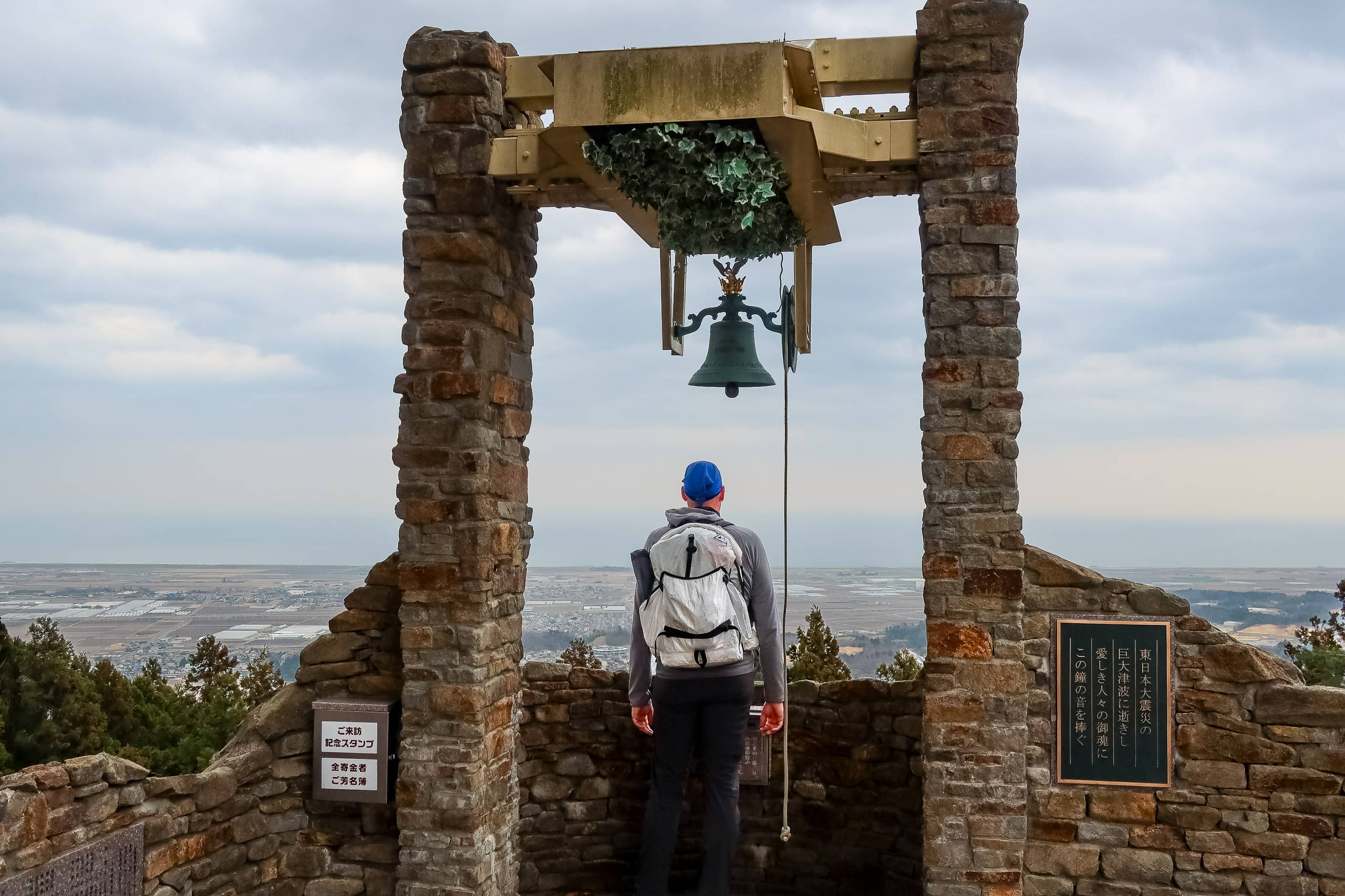
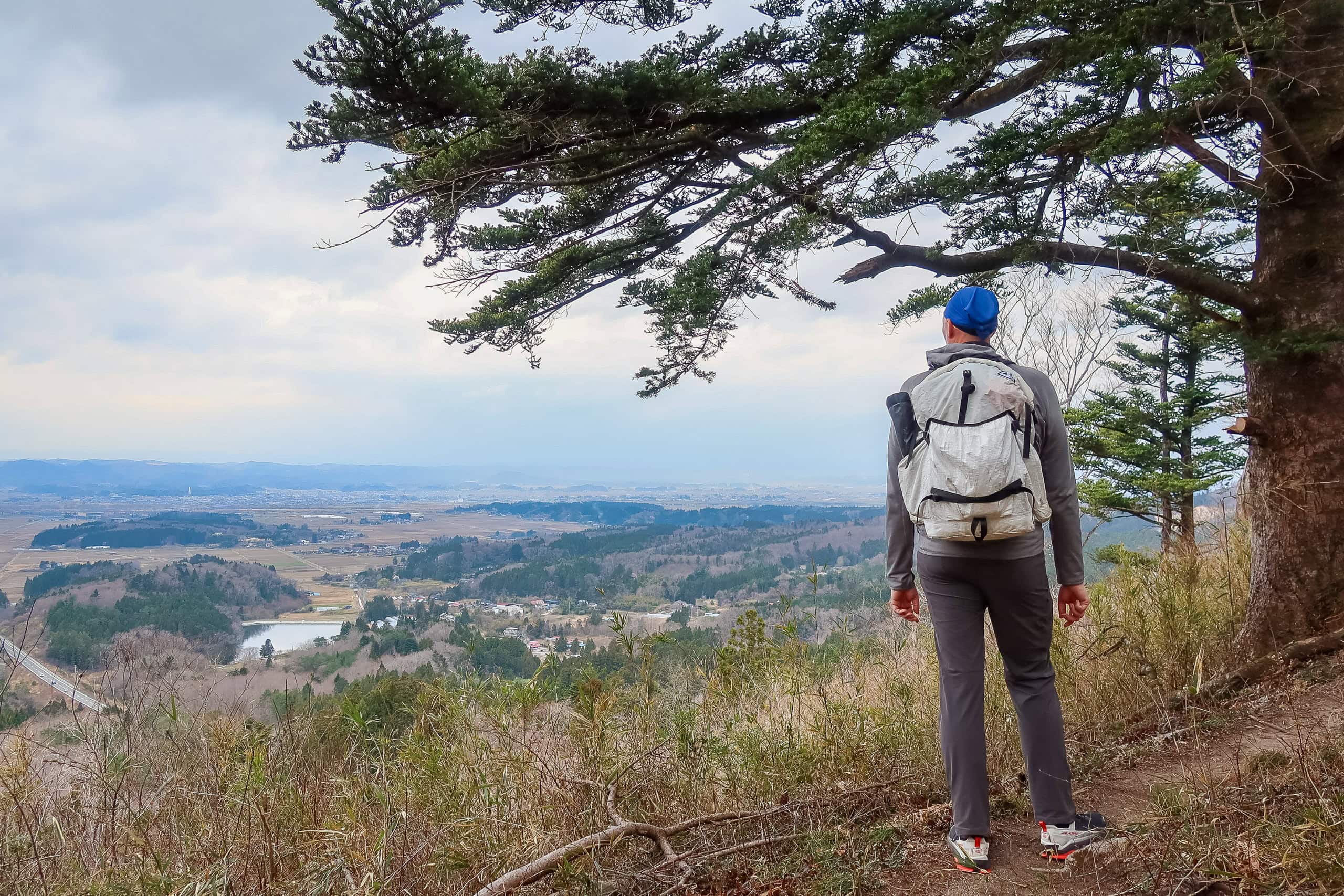
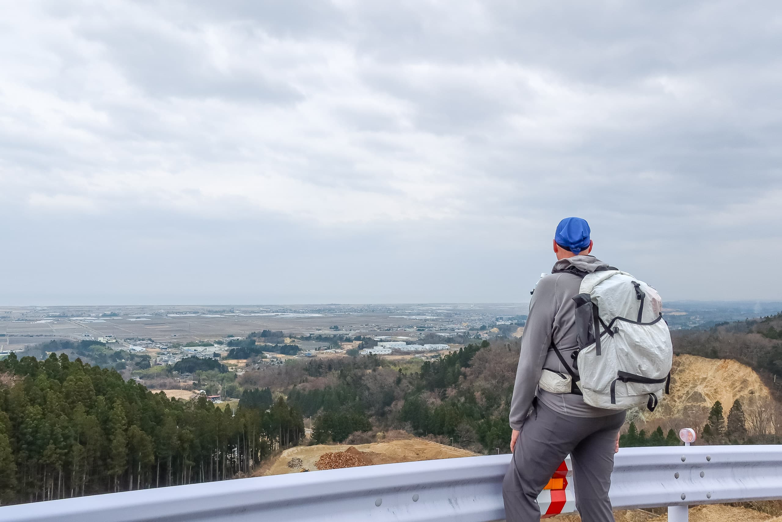
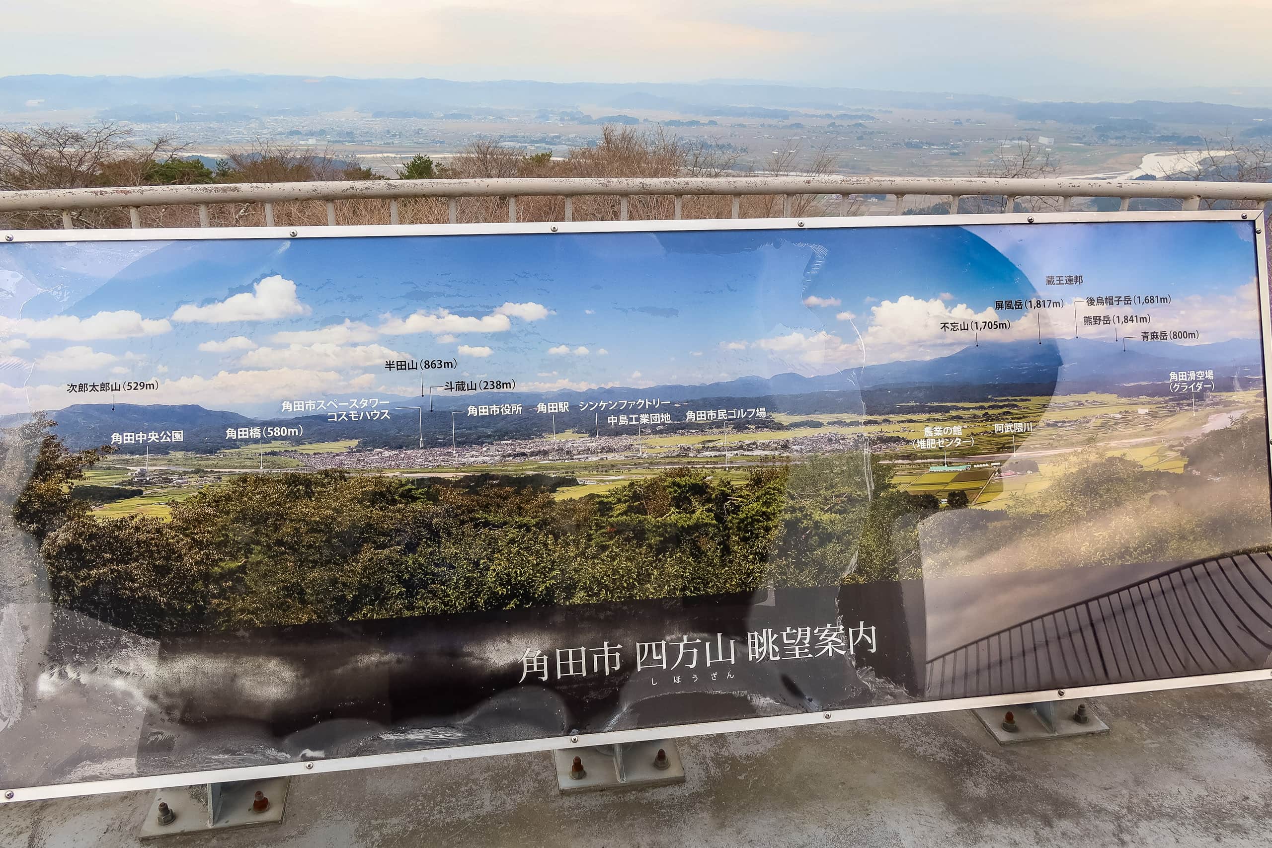
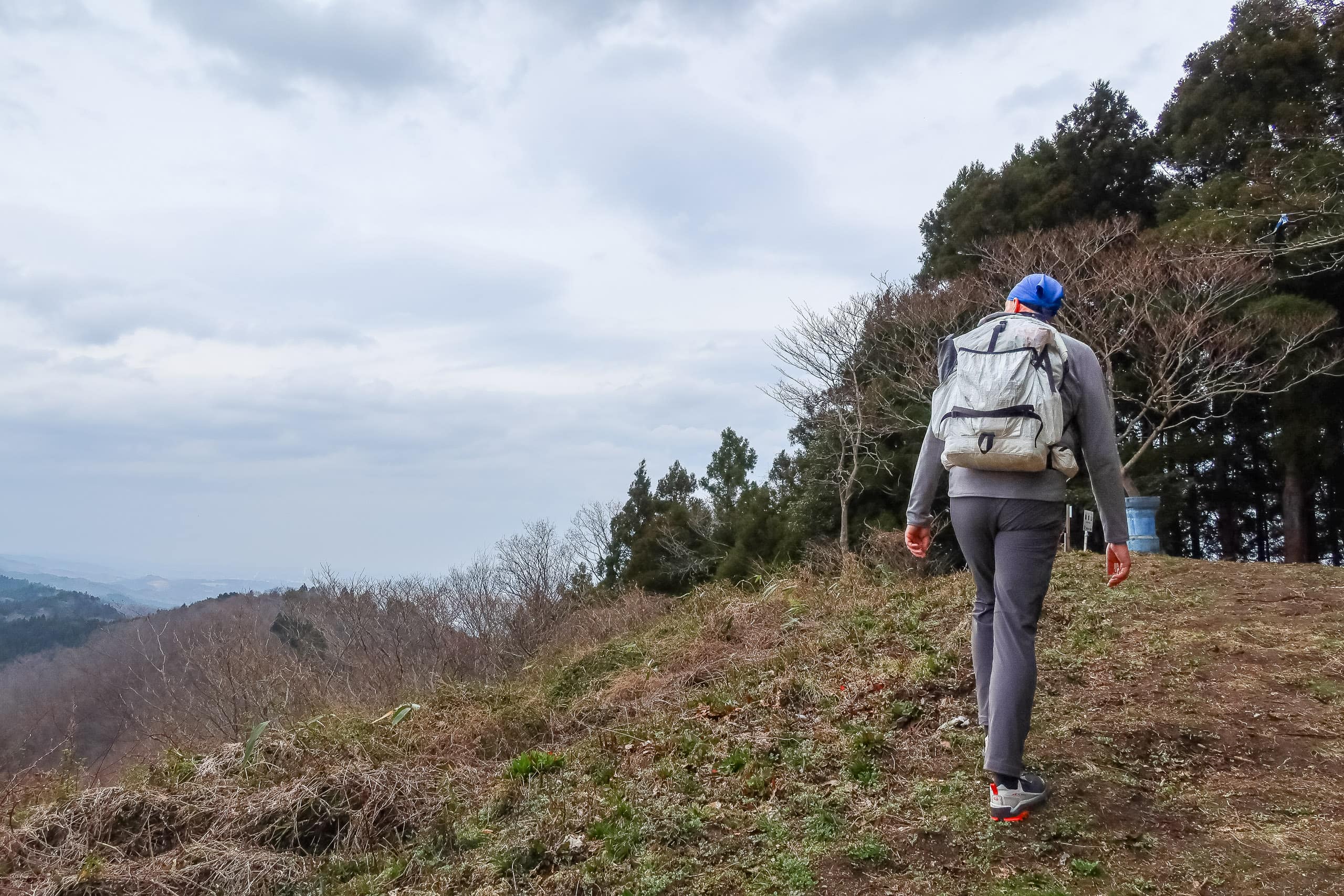
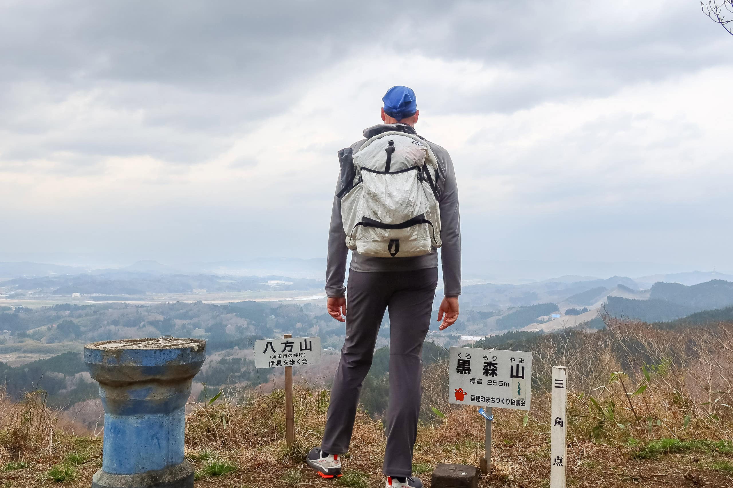
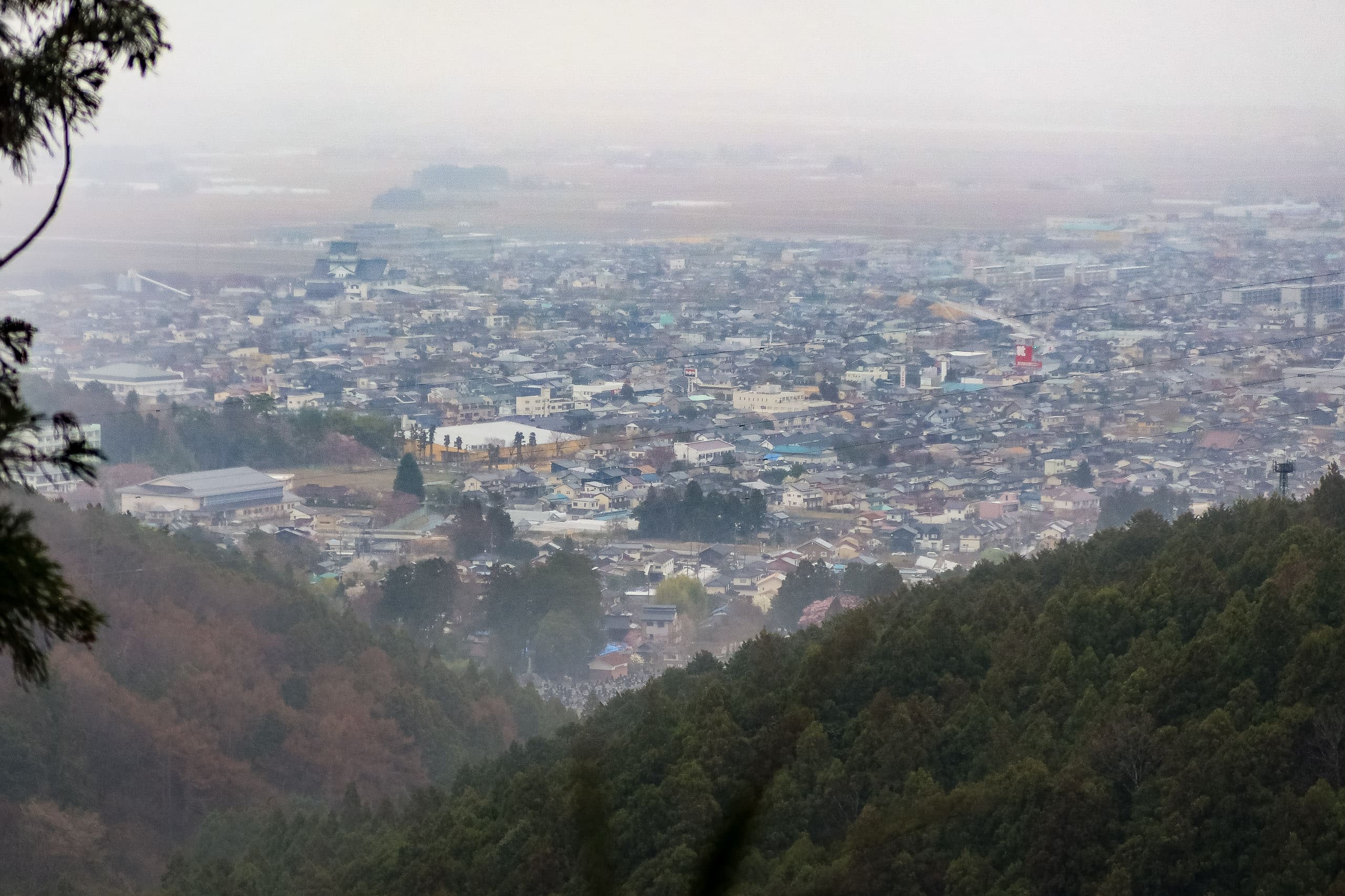
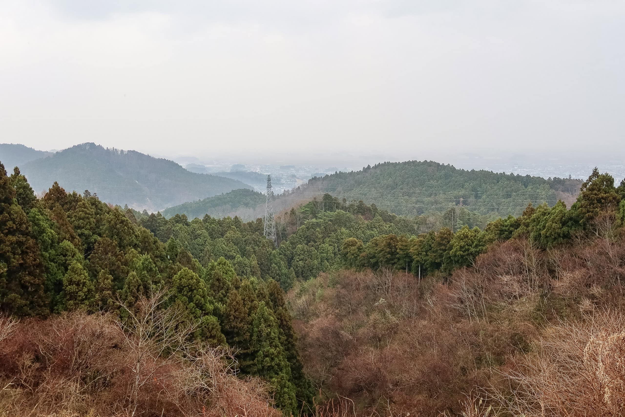
Without breaking a sweat, we reached the top of Mt. Shinzan. The summit opened in every direction, another 360-degree panorama of the coastal plain and surrounding ridges. A few hiking groups were already enjoying tea at the picnic tables and benches. Like Mt. Karou yesterday, this seemed to be the local hiking favorite for the people of Yamamoto Town.
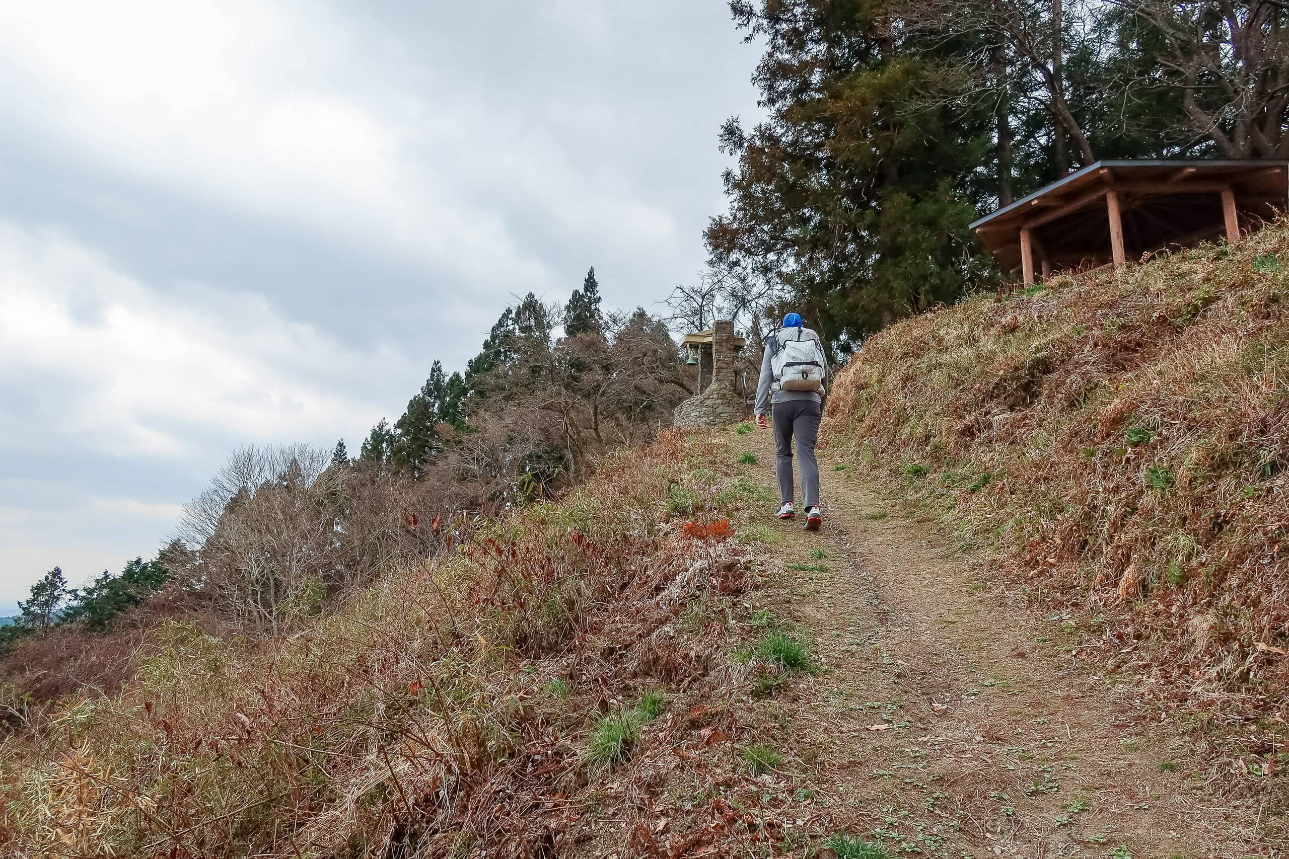
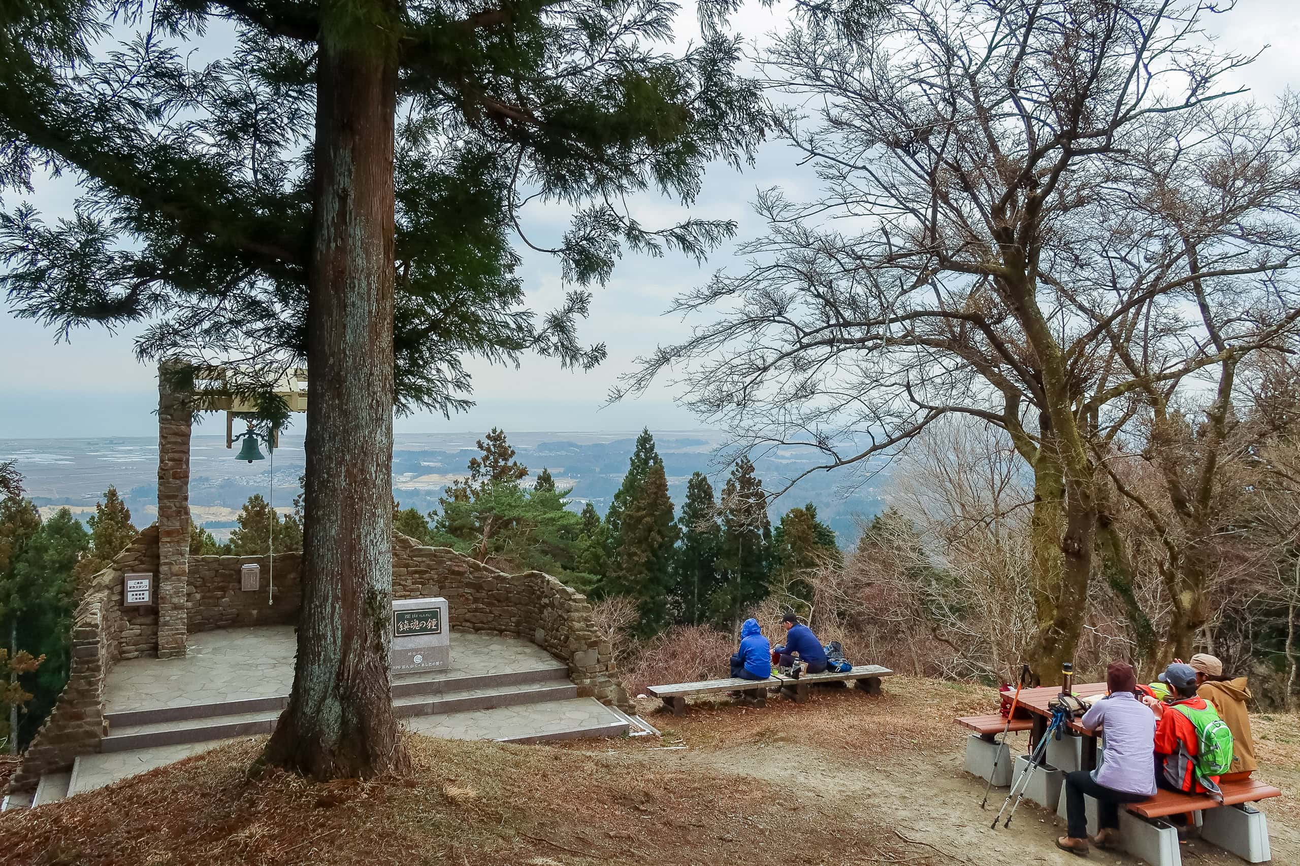
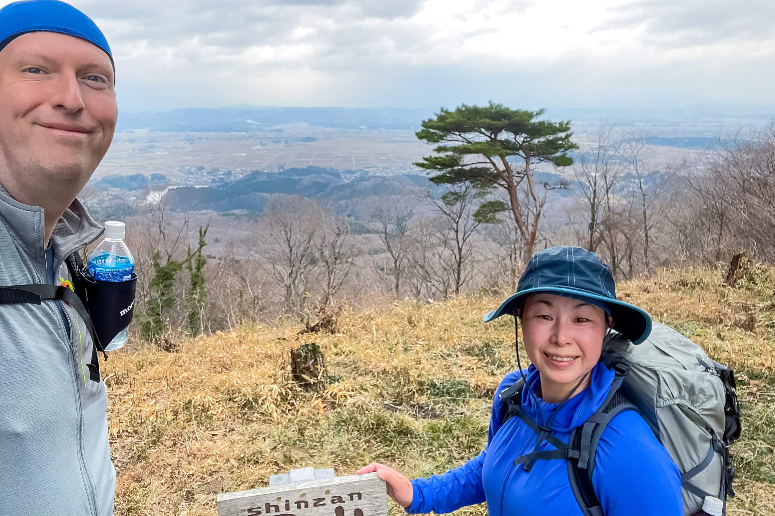
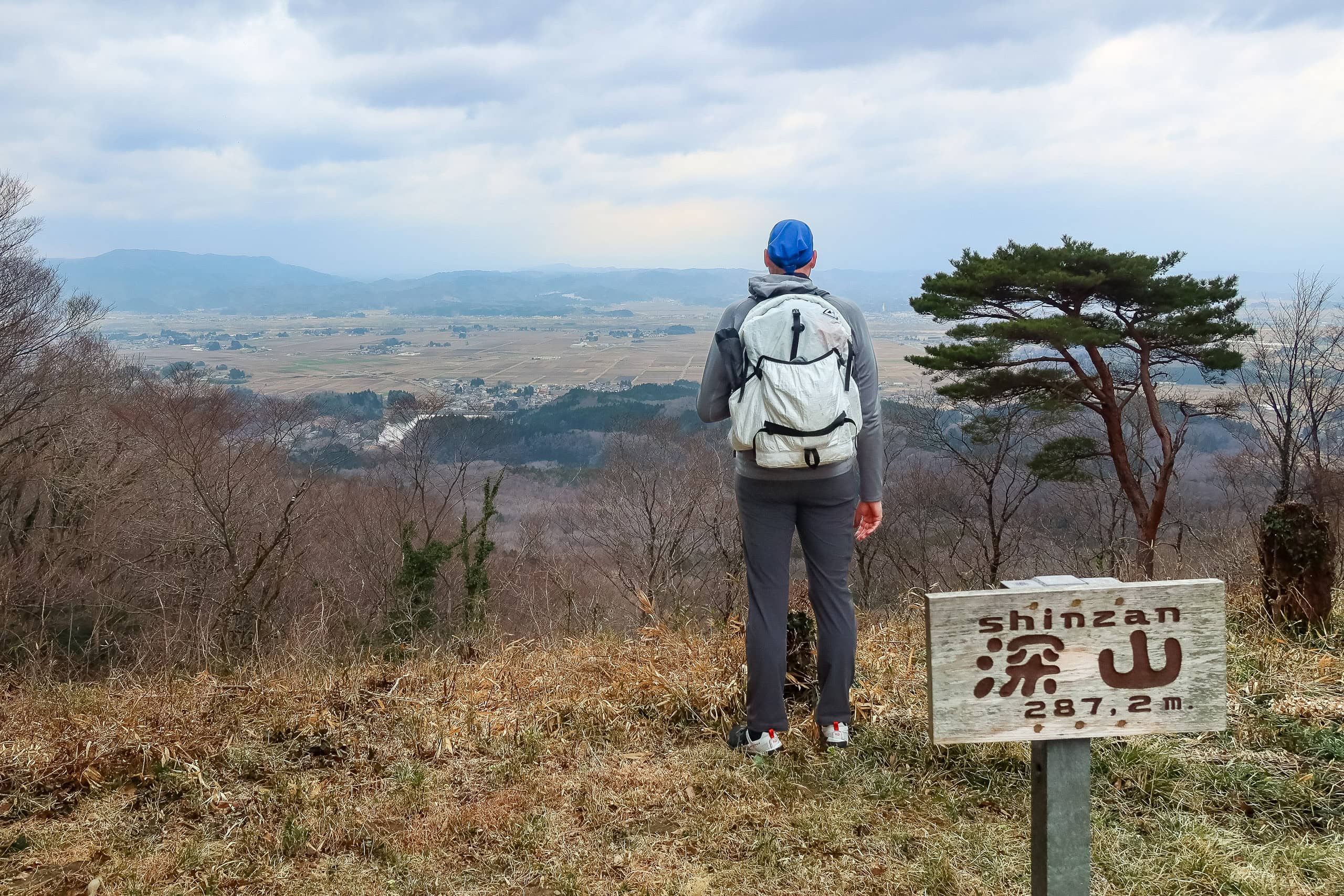
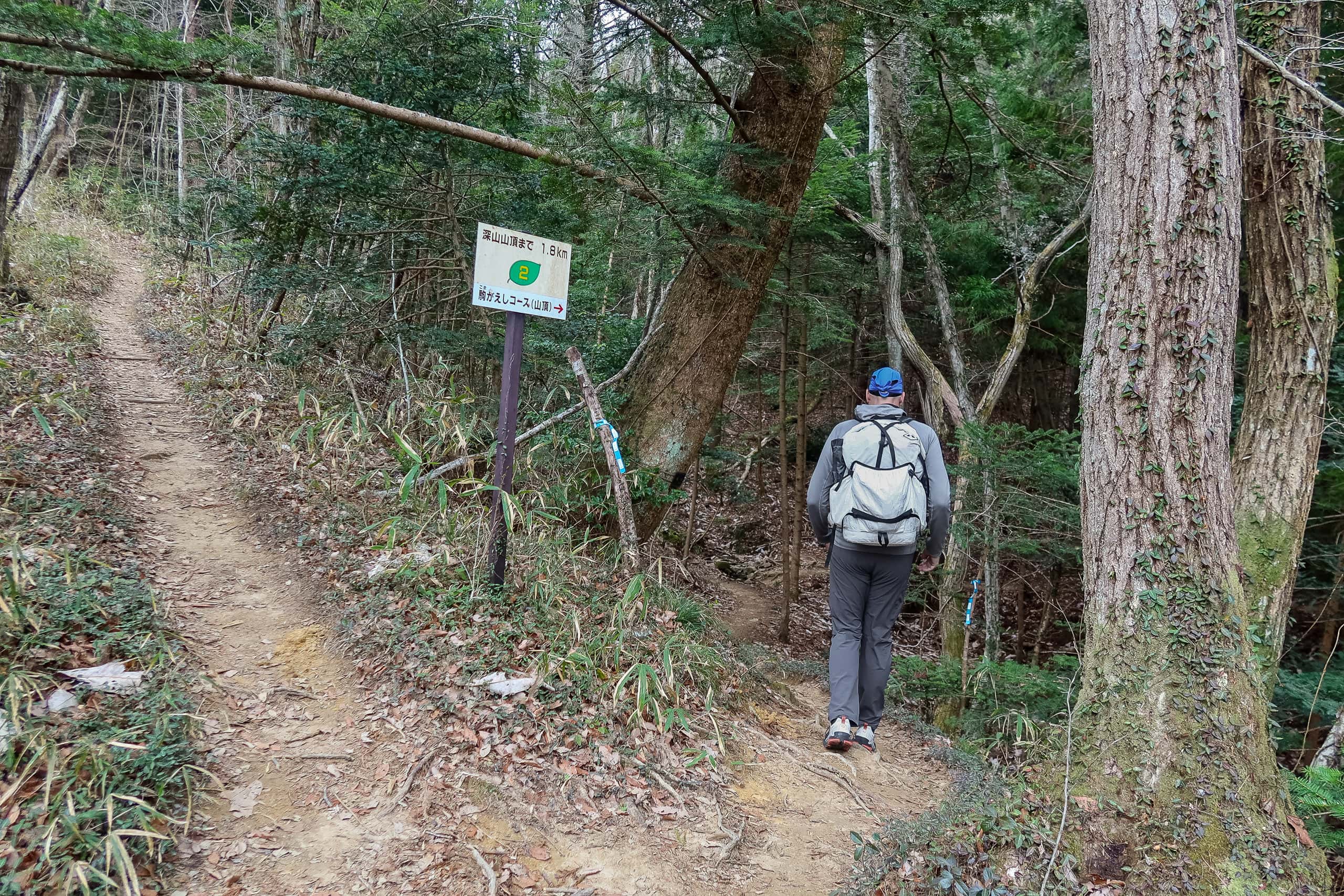
But Mt. Shinzan was only the first of many. We still had an entire ridgeline traverse ahead — more than 10 kilometers, plus a few extra to reach today’s goal — so we couldn’t linger. After a quick round of “peak-hunt” photos, we headed north again on the MCT route.
Across the Watari Horst Ridge
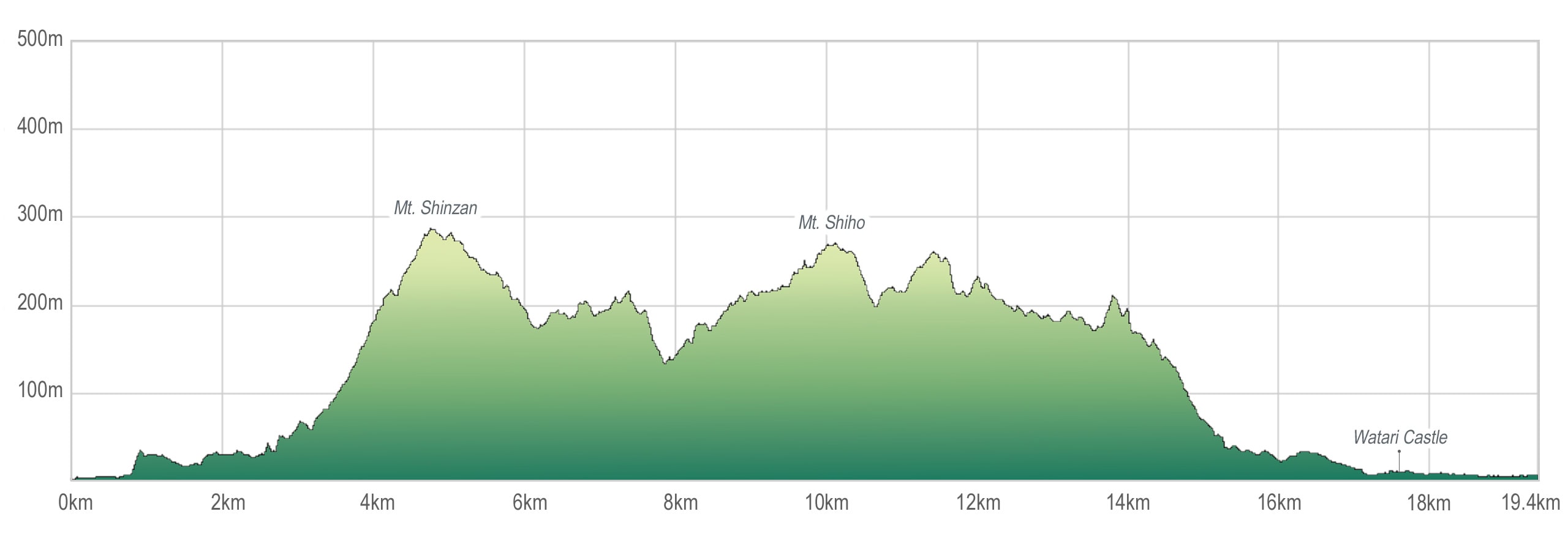
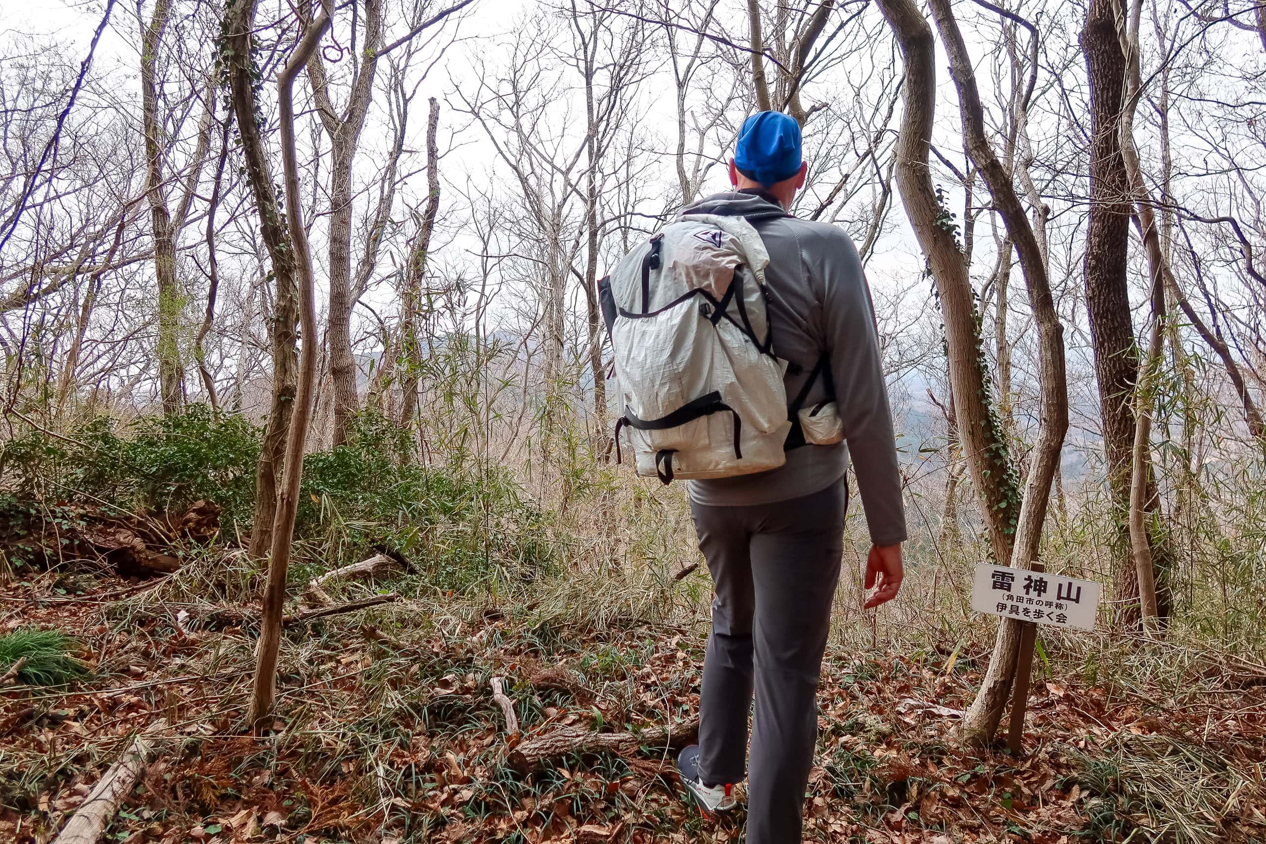
There would be six peaks along today’s traverse. Each stood somewhere between 200 and 270 meters high, and the route mainly followed the ridgeline, with gentle ups and downs rather than any serious climbs. Later I learned that the name of this small mountain range is the Watari Horst Mountains 亘理地塁山地 — and that “horst” is apparently a geology term. I’d never heard it before in my life.
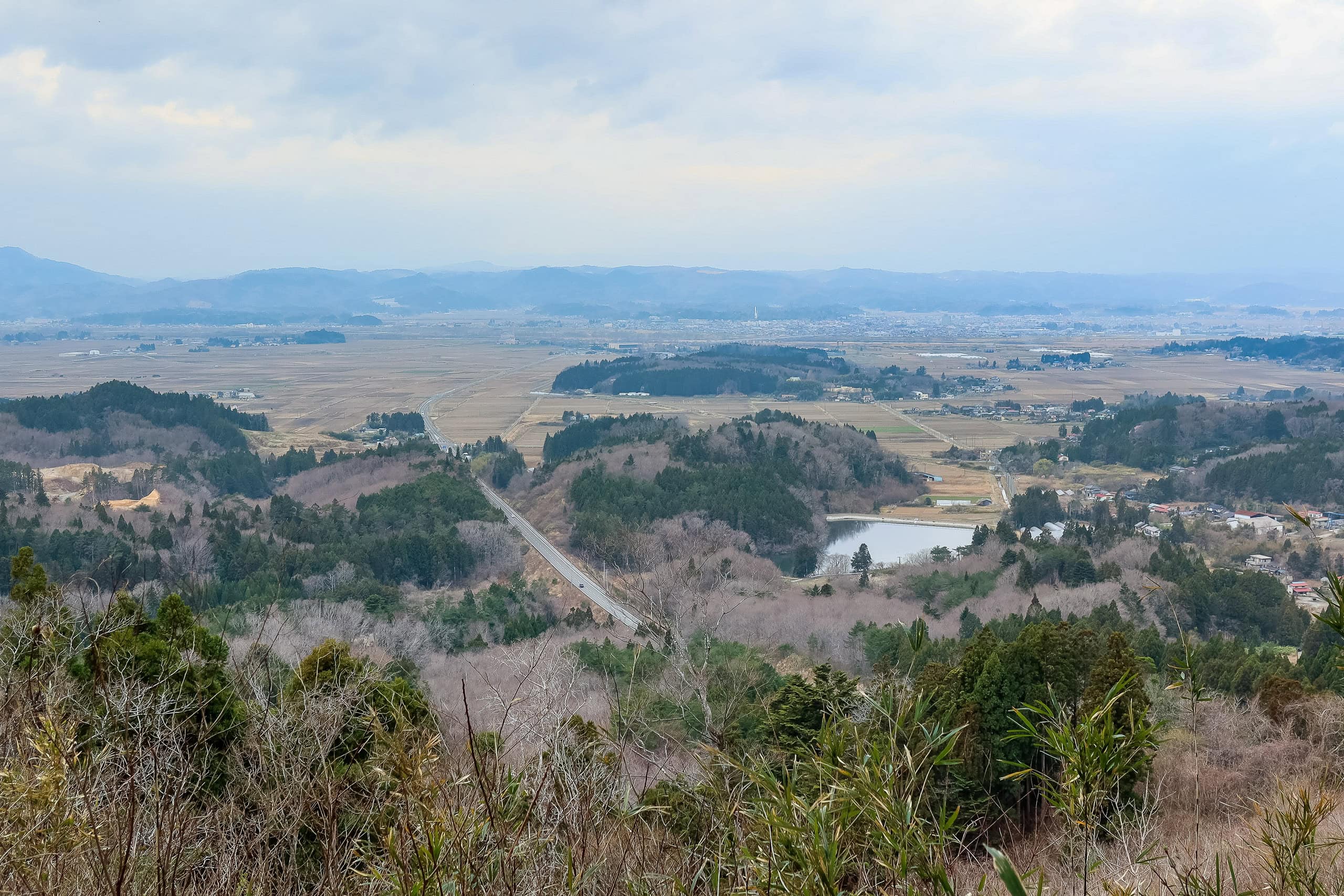
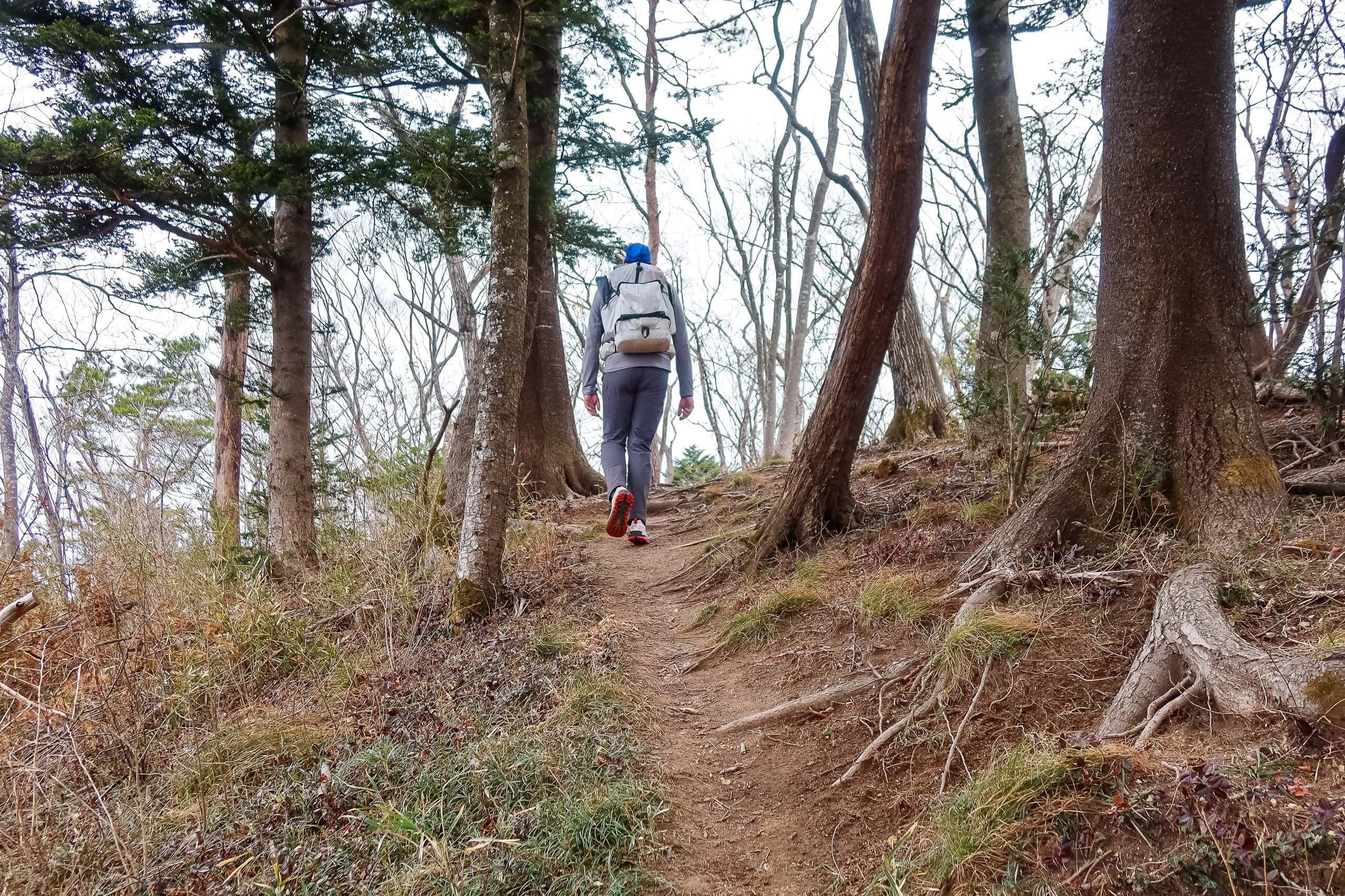
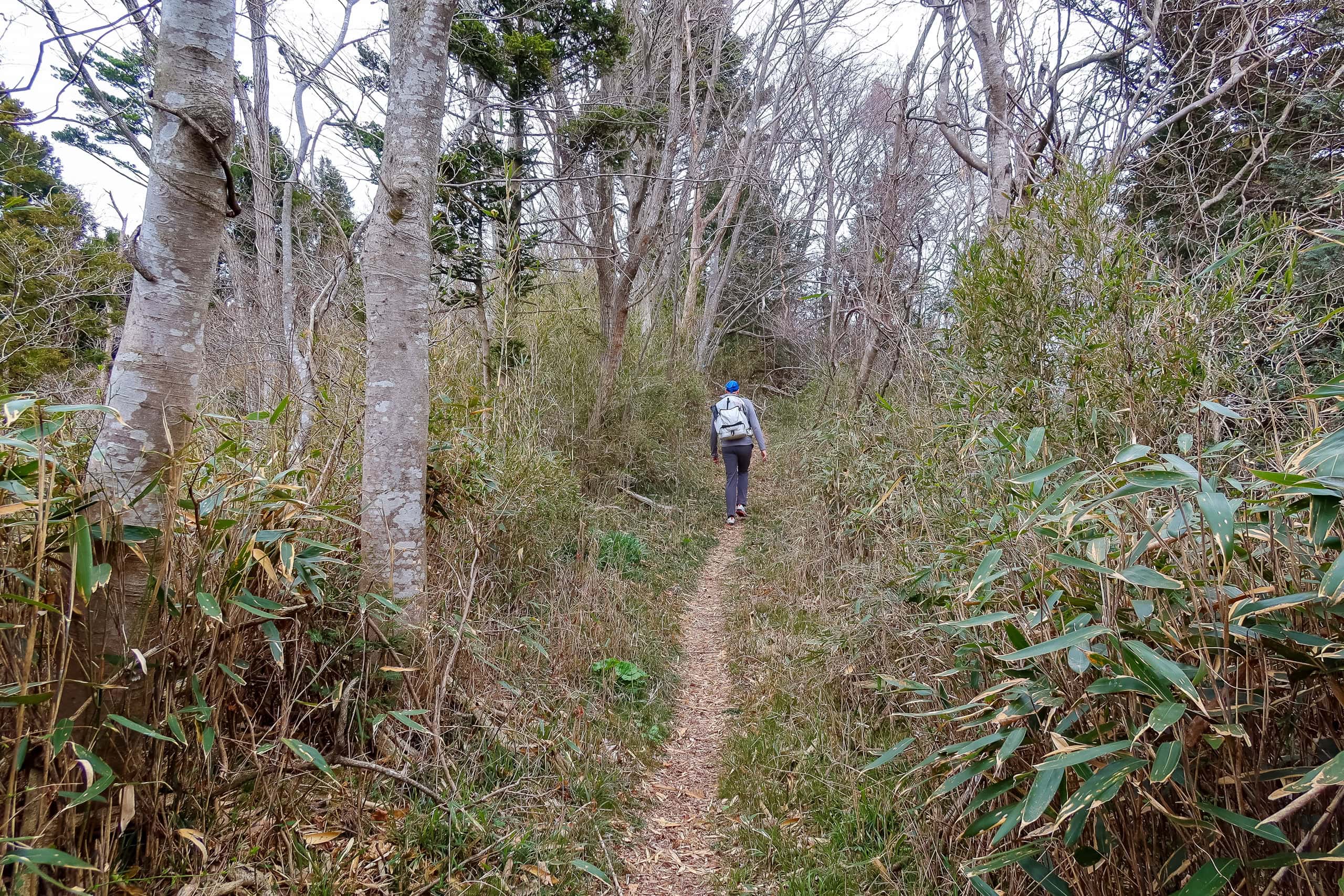

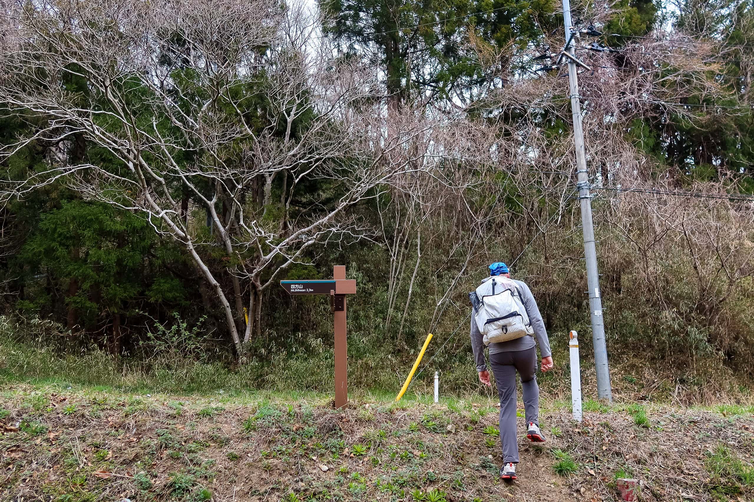
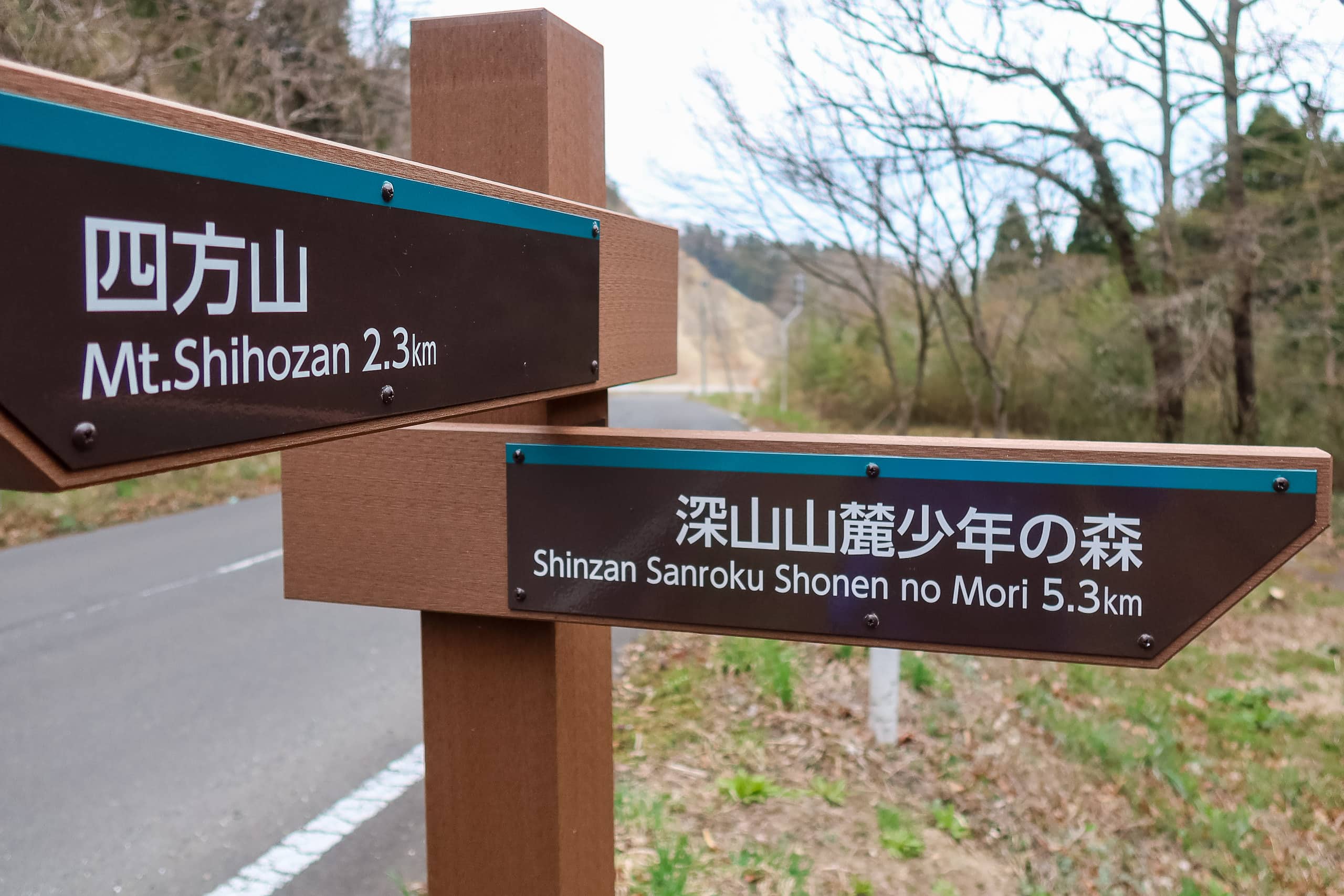
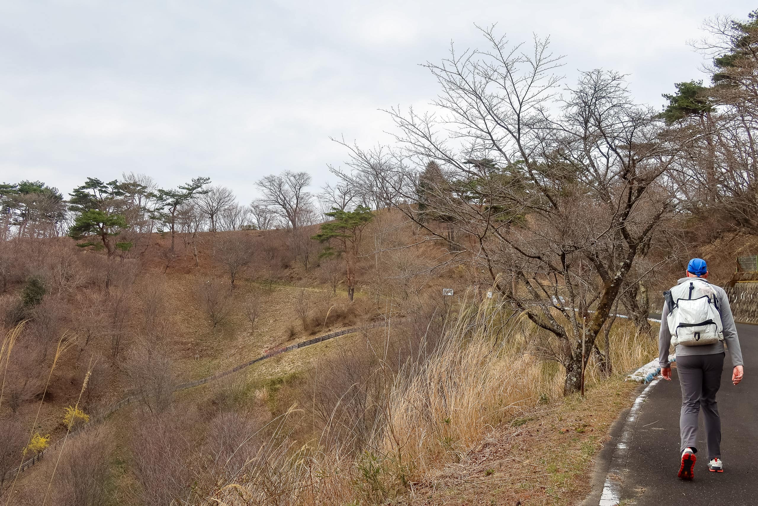
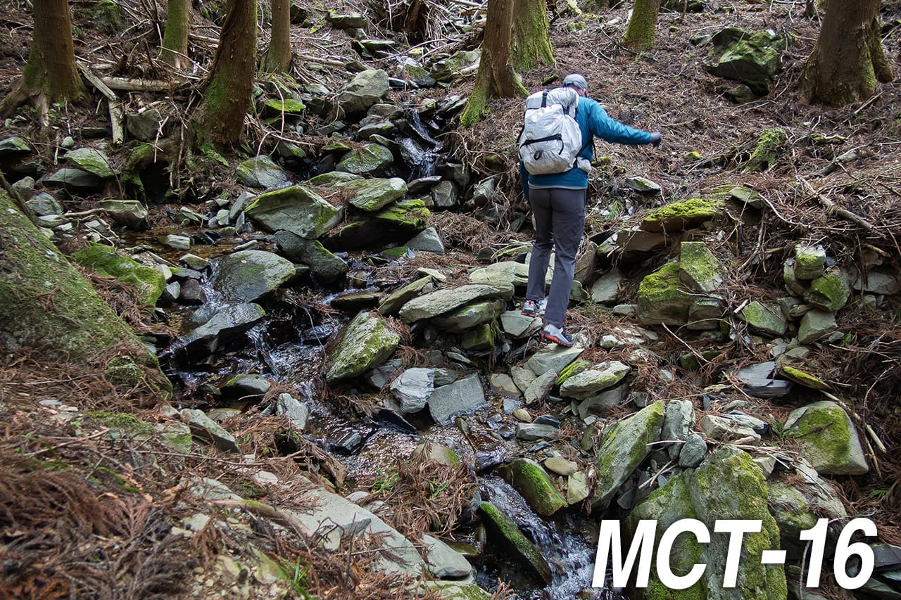
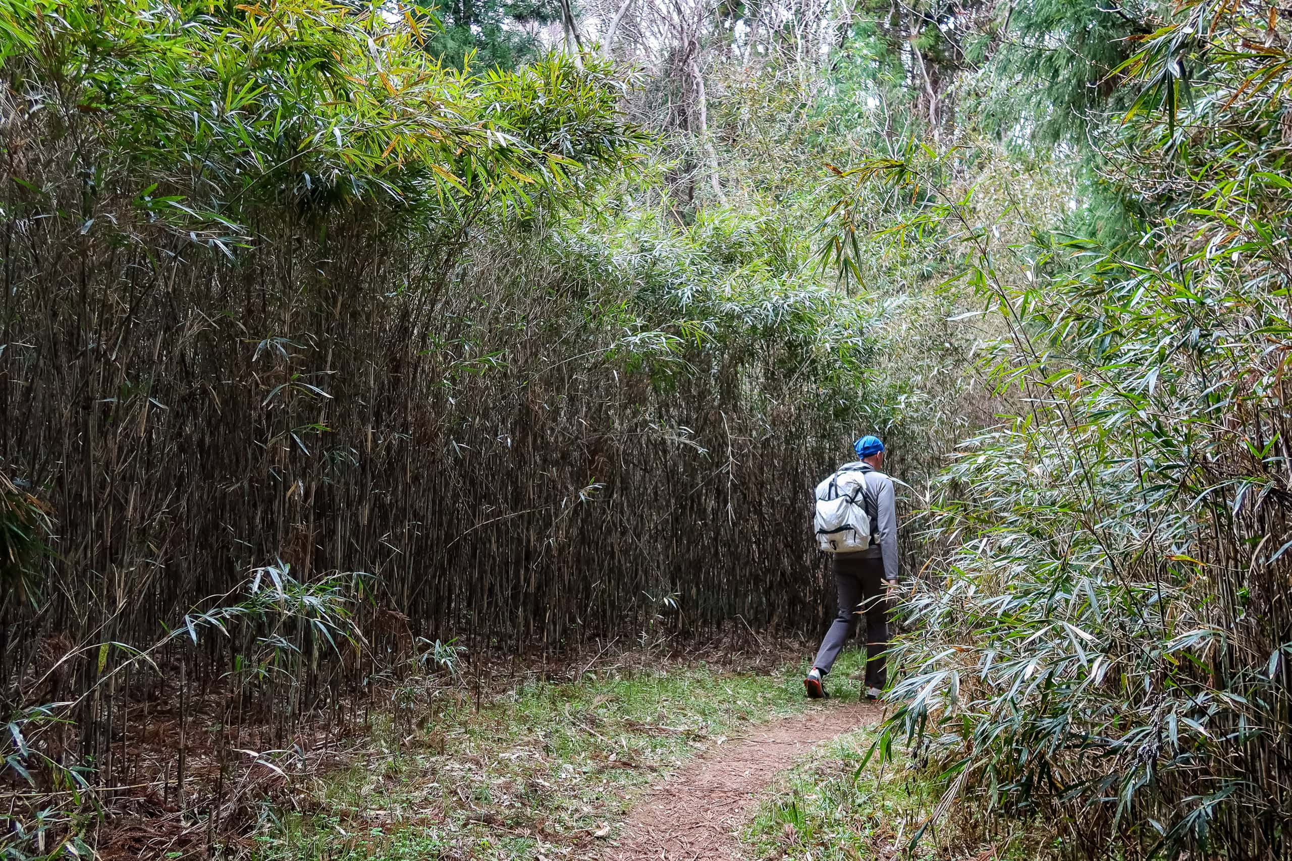
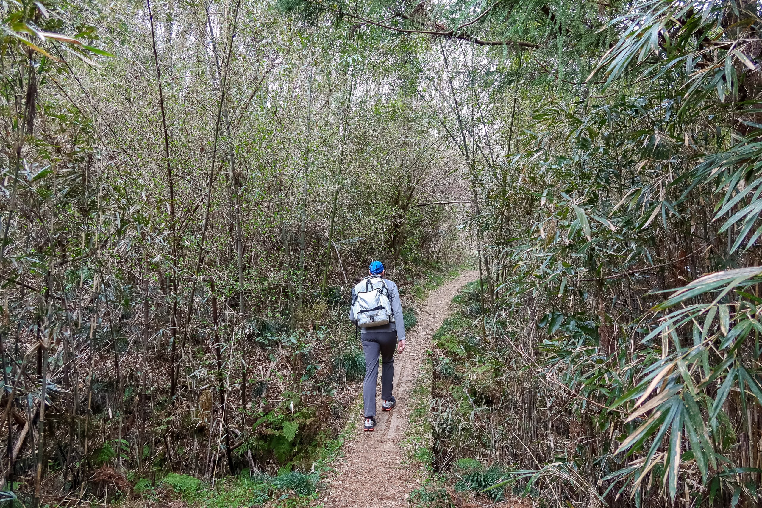
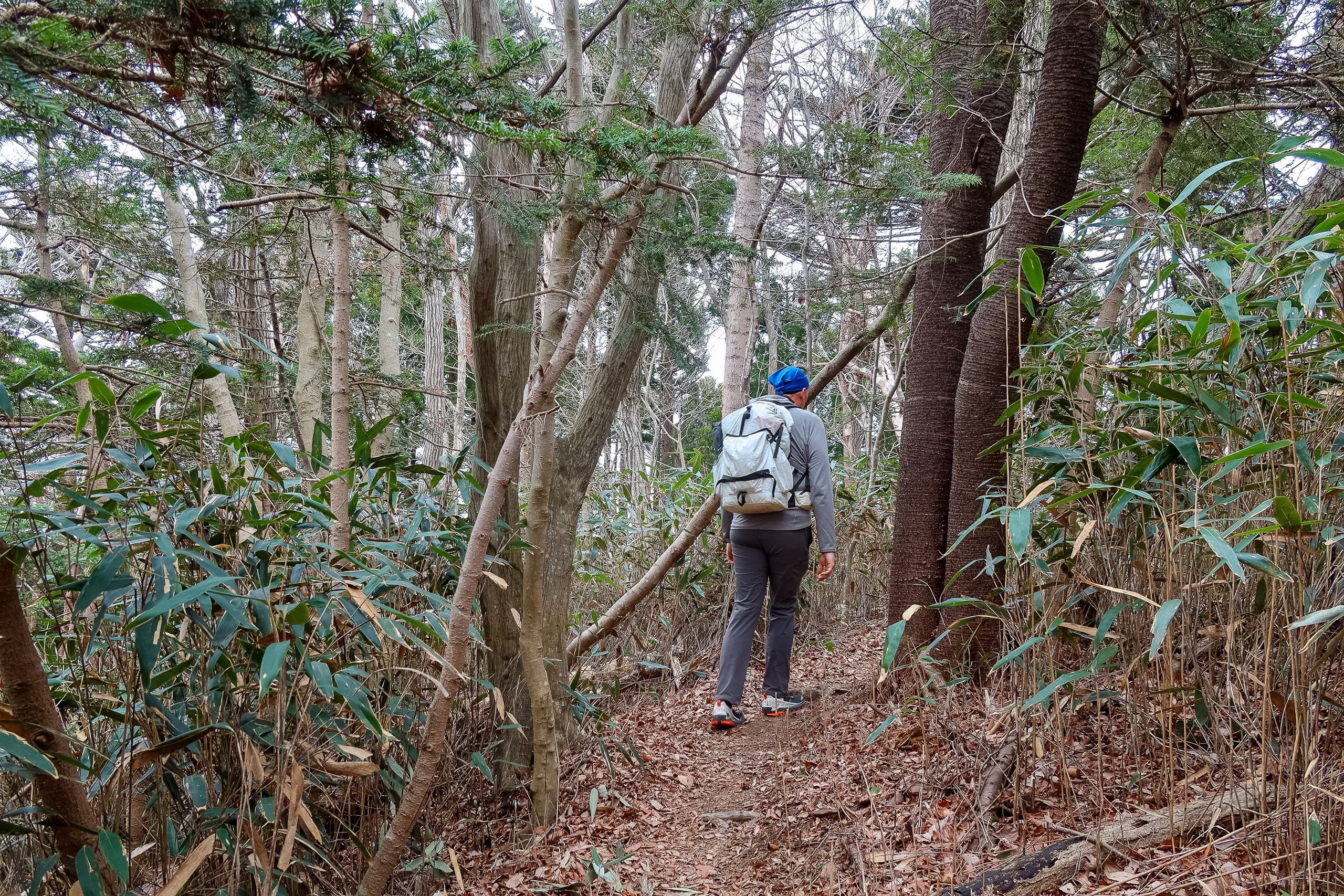
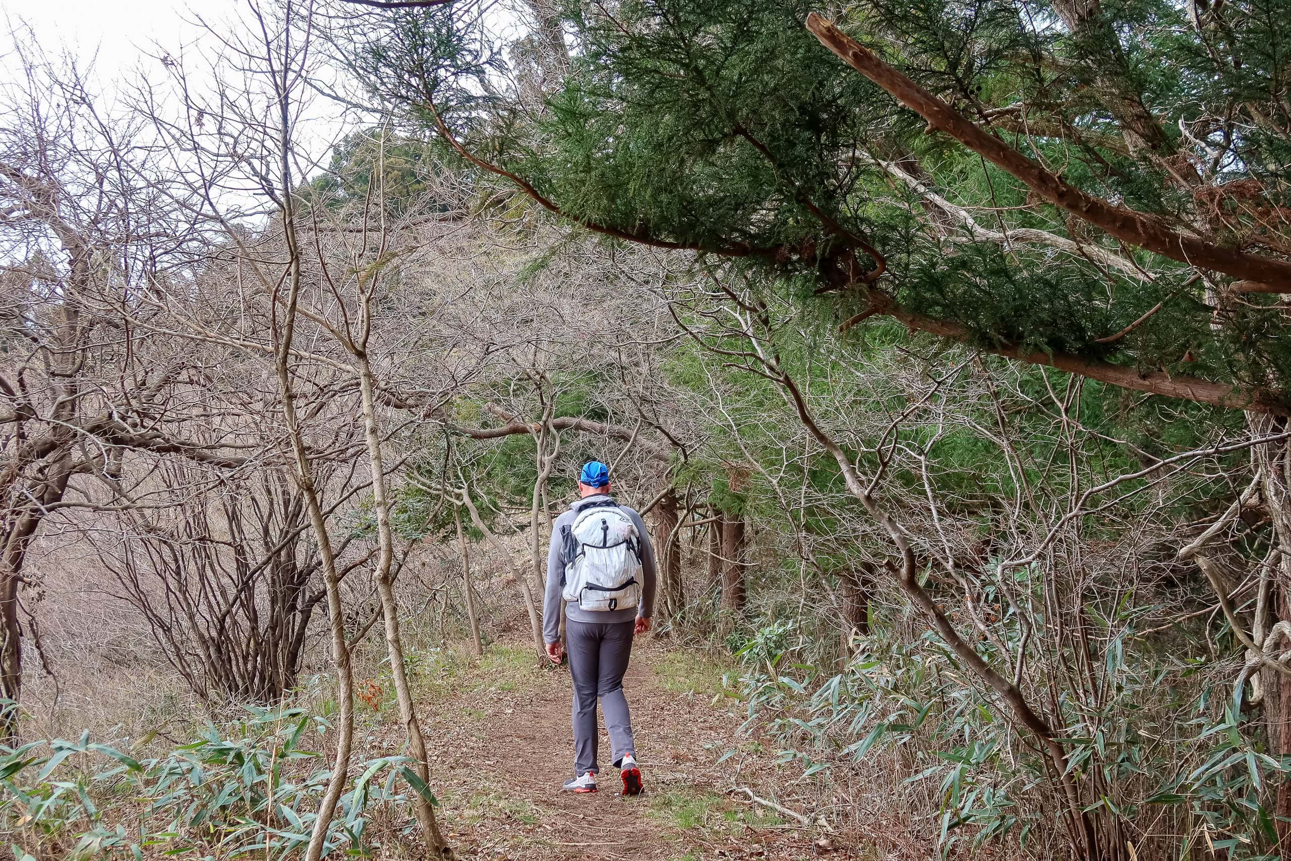
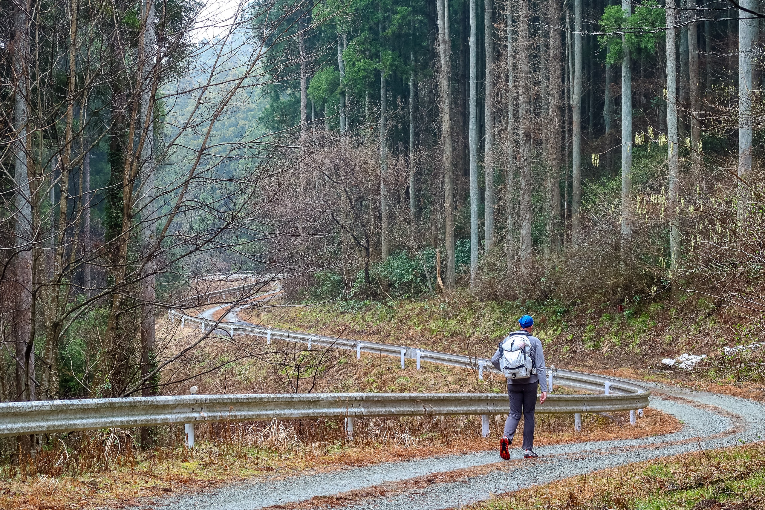
The distance from Mt. Shinzan to the next major peak, Mt. Shiho 四方山, was about six kilometers, the longest stretch between the Watari Horst peaks. With most of the trees still bare, we enjoyed almost constant views of the mountains to the north. The first three and a half kilometers followed a flat natural trail, soft and springy underfoot with layers of fallen leaves. Then the path became an asphalt-paved road for the next two and a half kilometers.
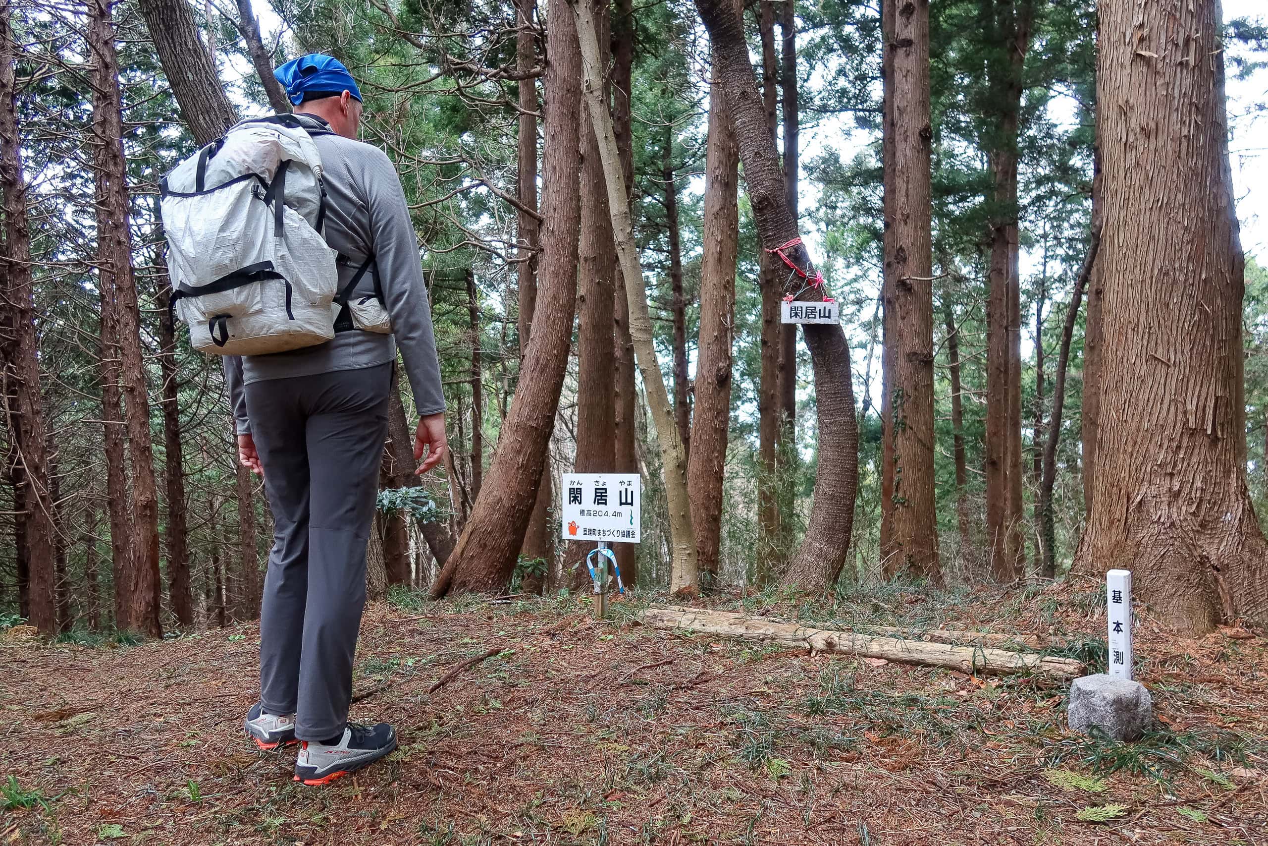
Between Mt. Shinzan and Mt. Shiho we passed two smaller summits — unmarked on the official MCT map but each with a small nameplate attached to a tree, giving only the mountain’s name and no altitude.
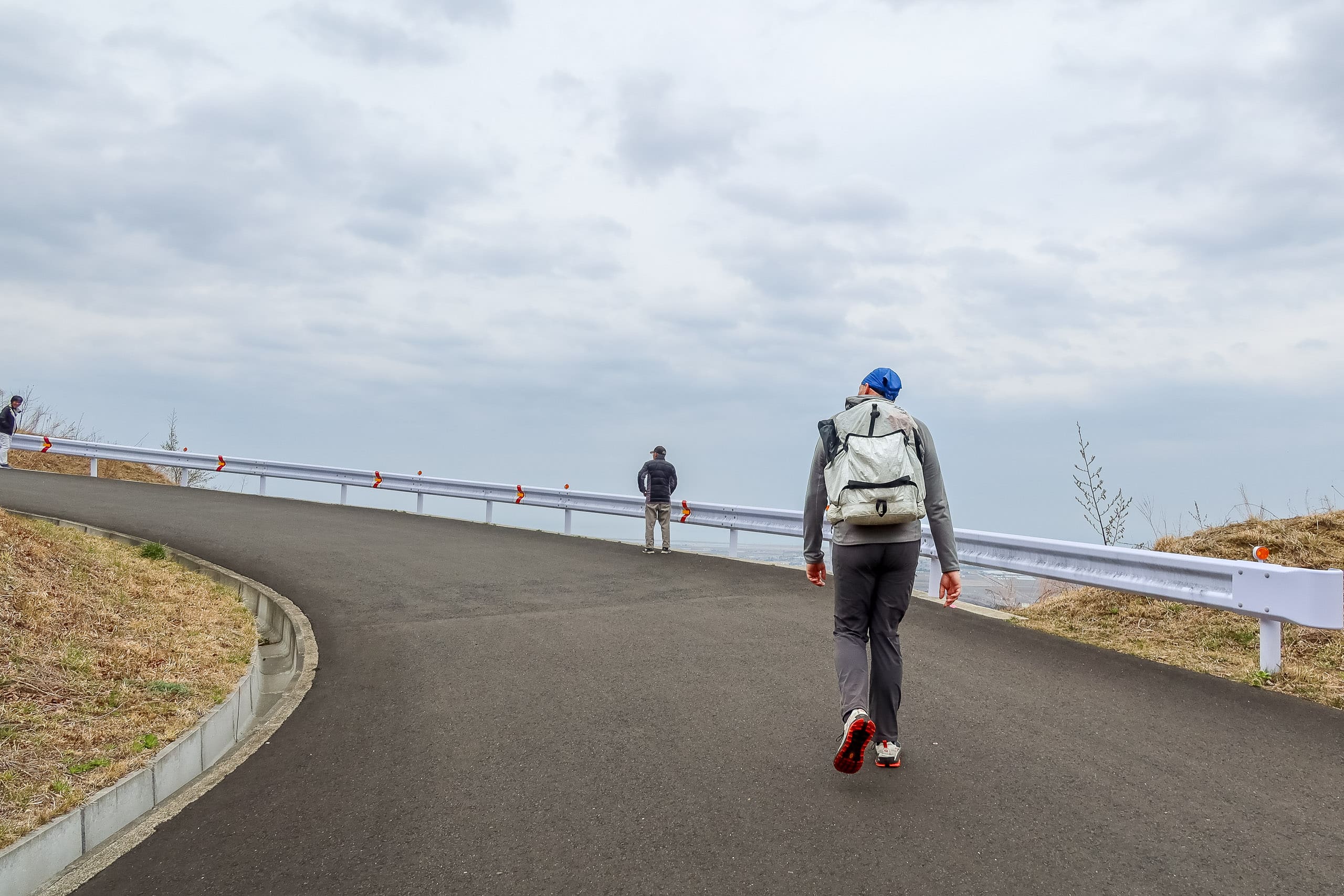
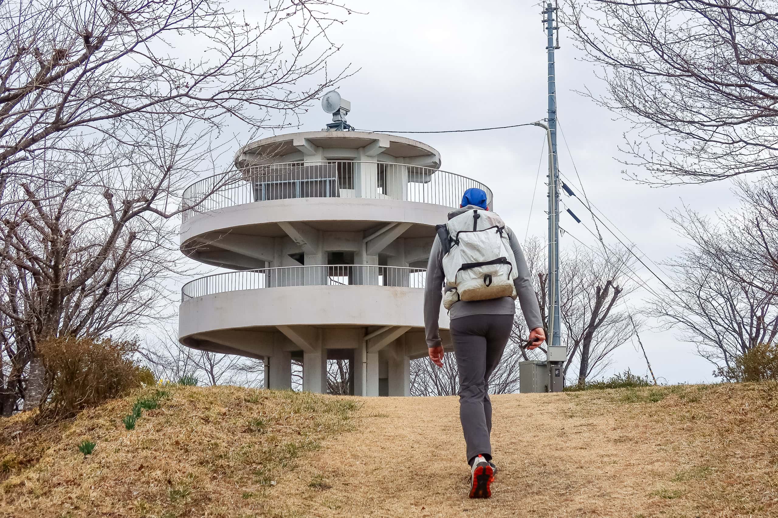
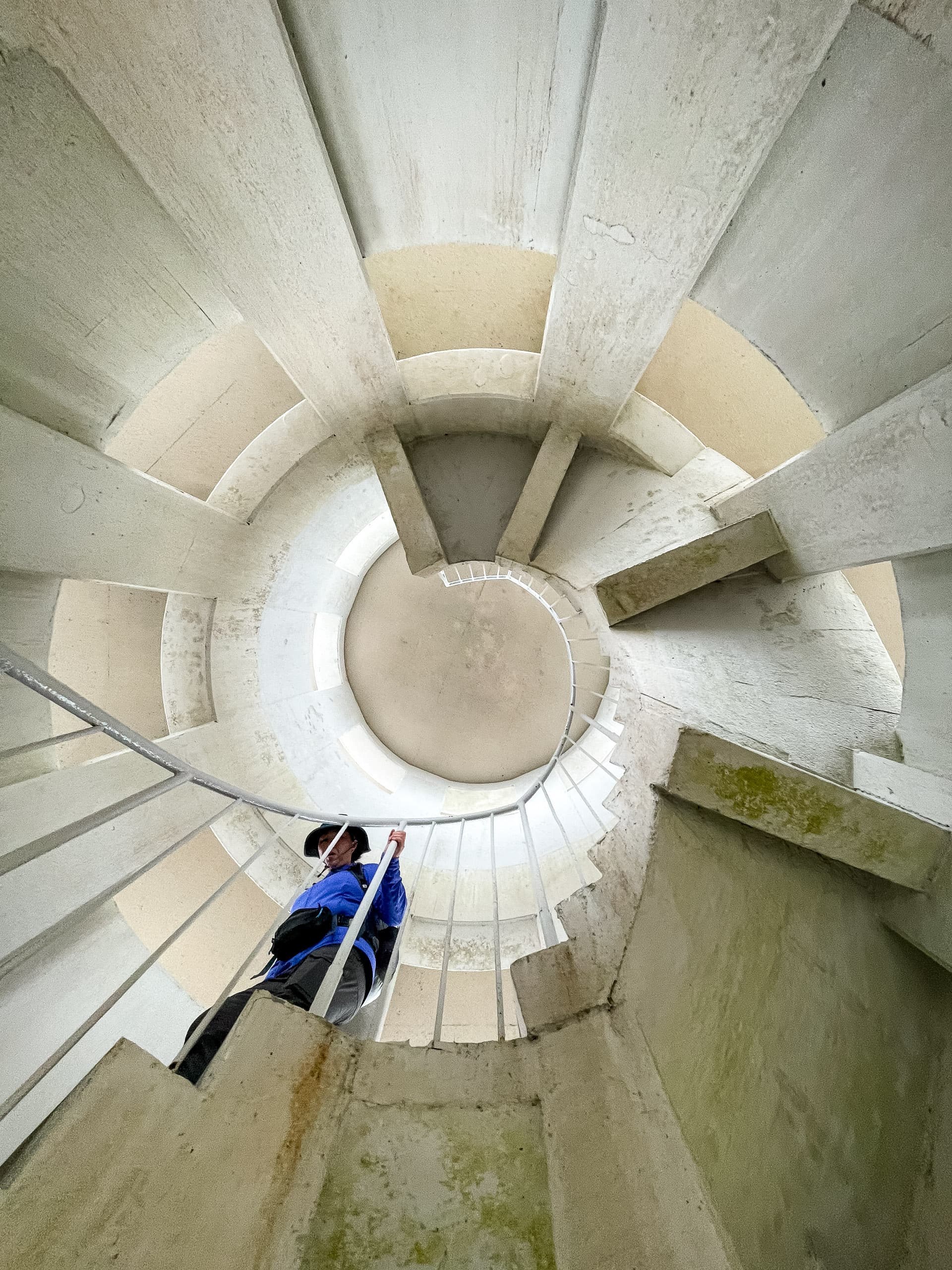
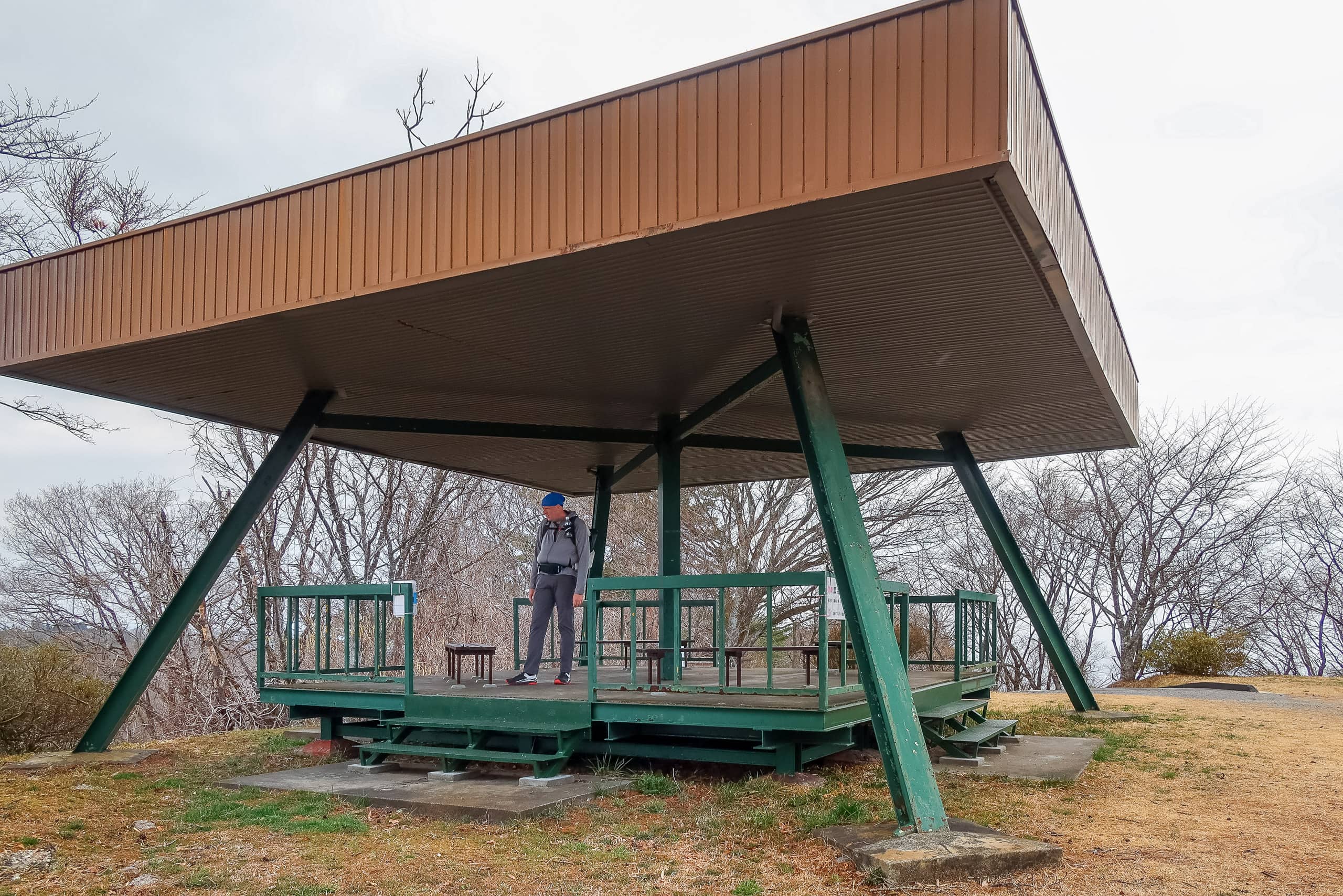
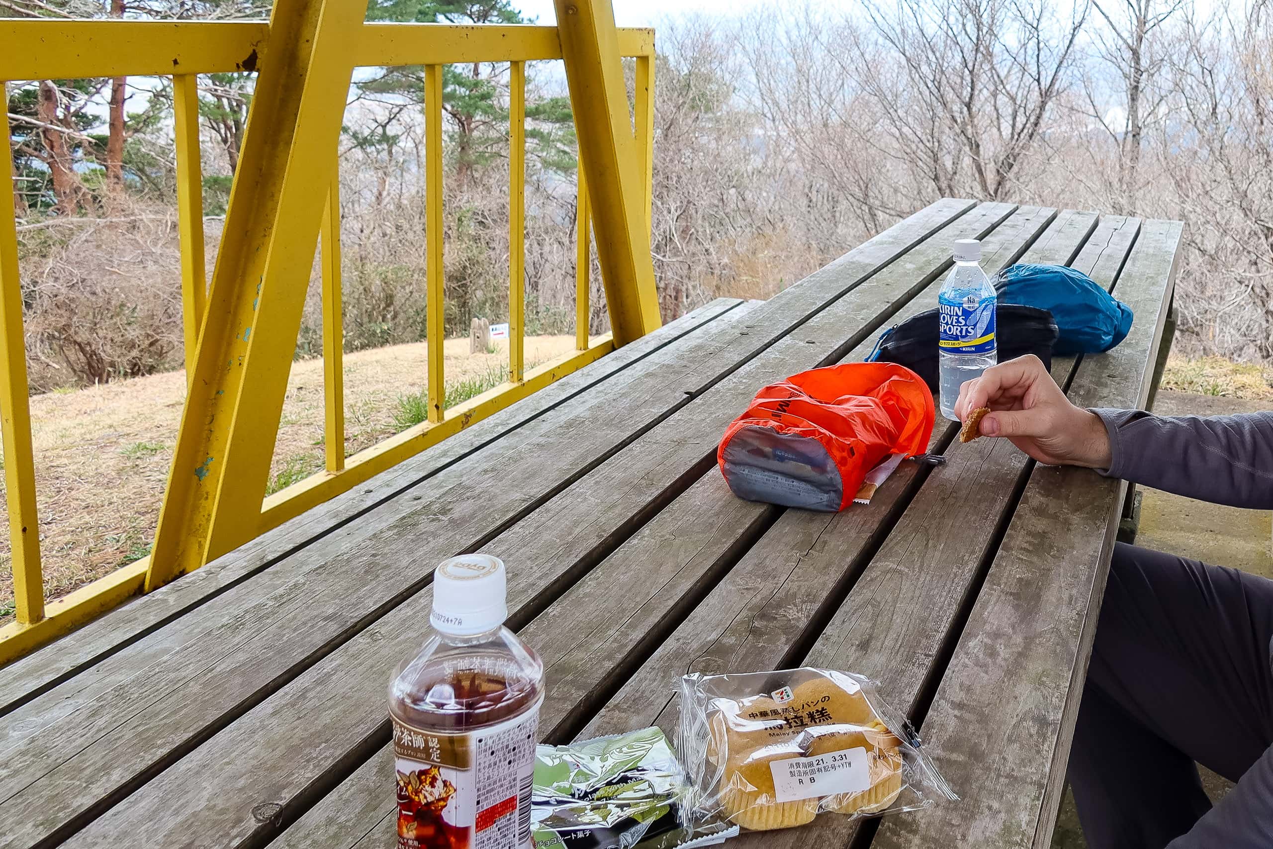
Mt. Shiho 四方山 was the only peak along the traverse that was easily accessible by car. A small park sat at the top, complete with an observation tower and a couple of rest huts. But unlike Mt. Shinzan, there wasn’t another hiker in sight when we stopped for lunch at one of the huts. It was quiet — eerily quiet — and under the thick gray clouds, the place felt a little spooky.
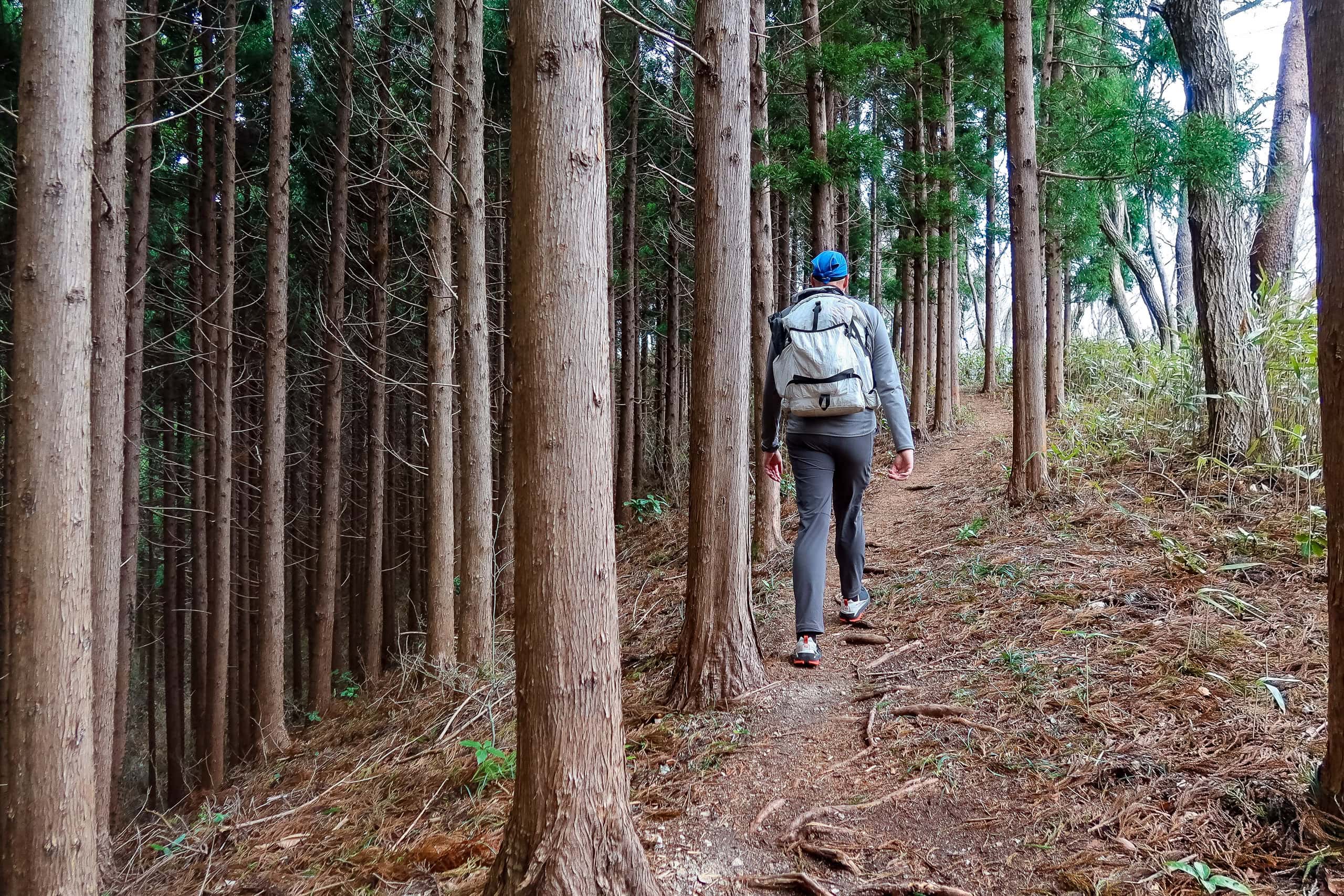
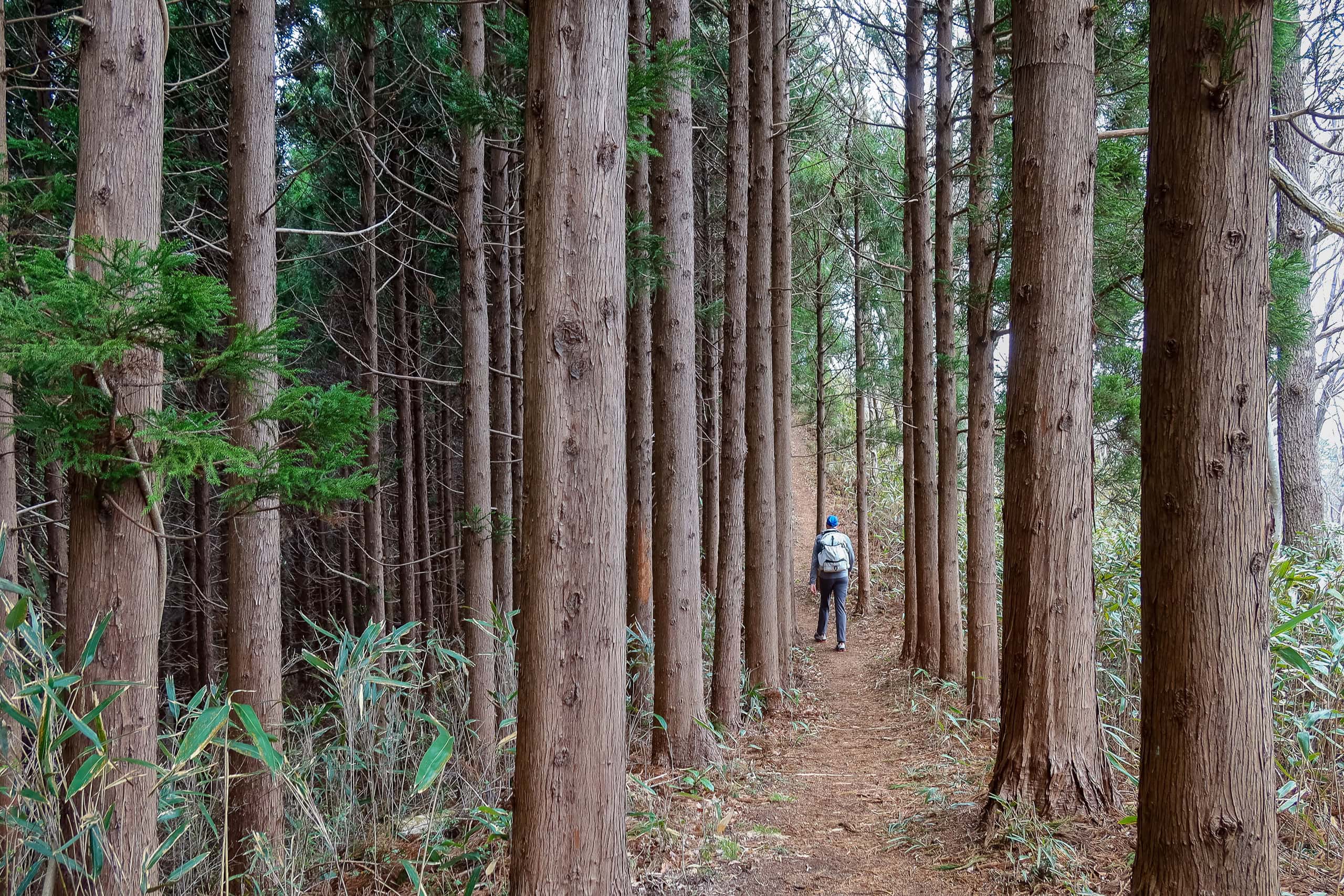
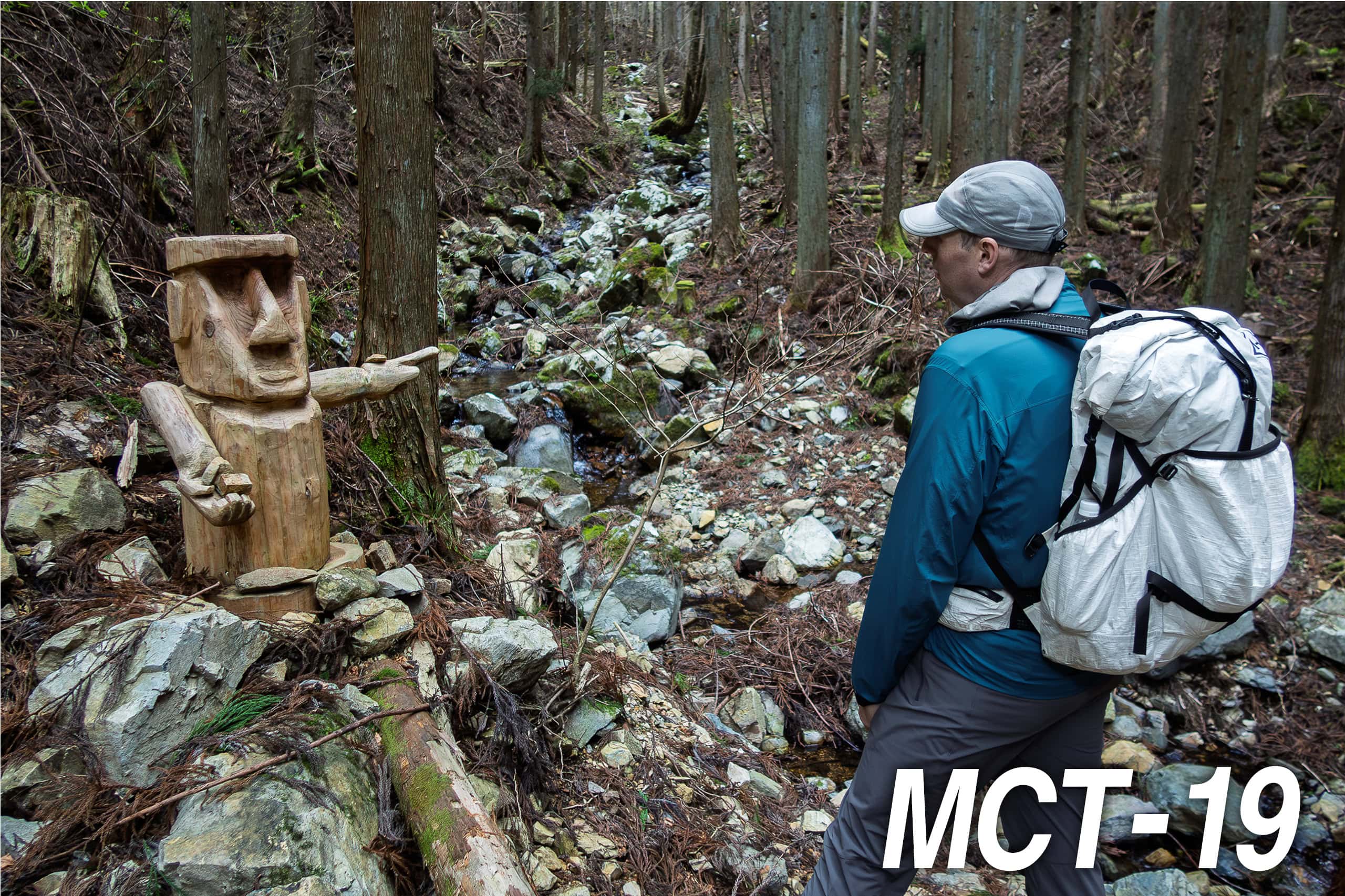
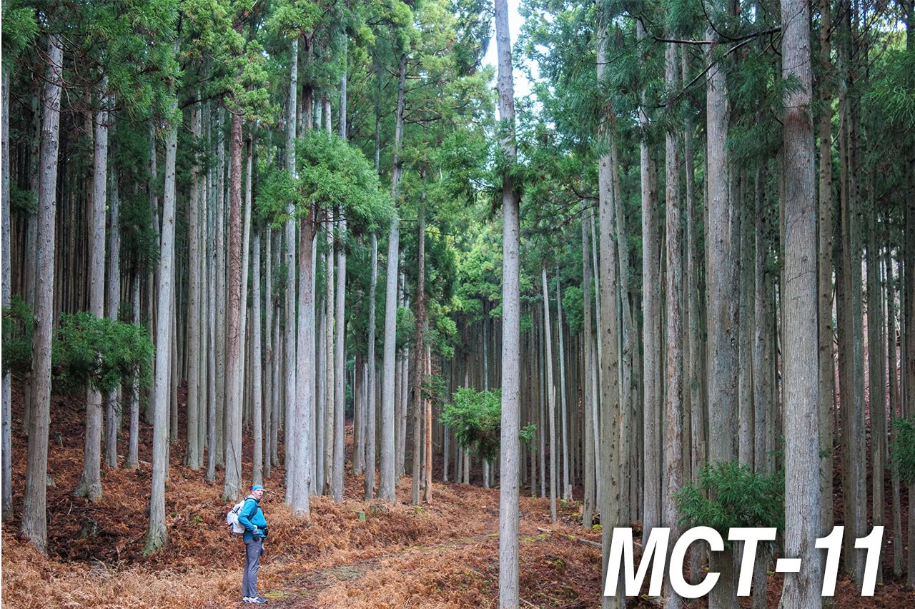
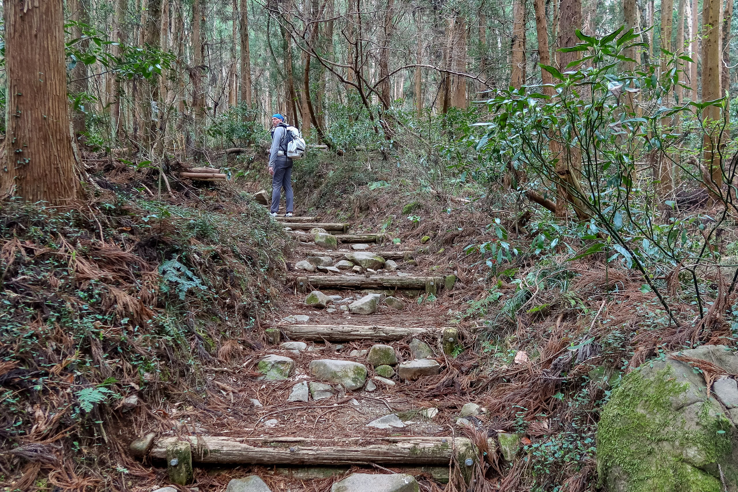
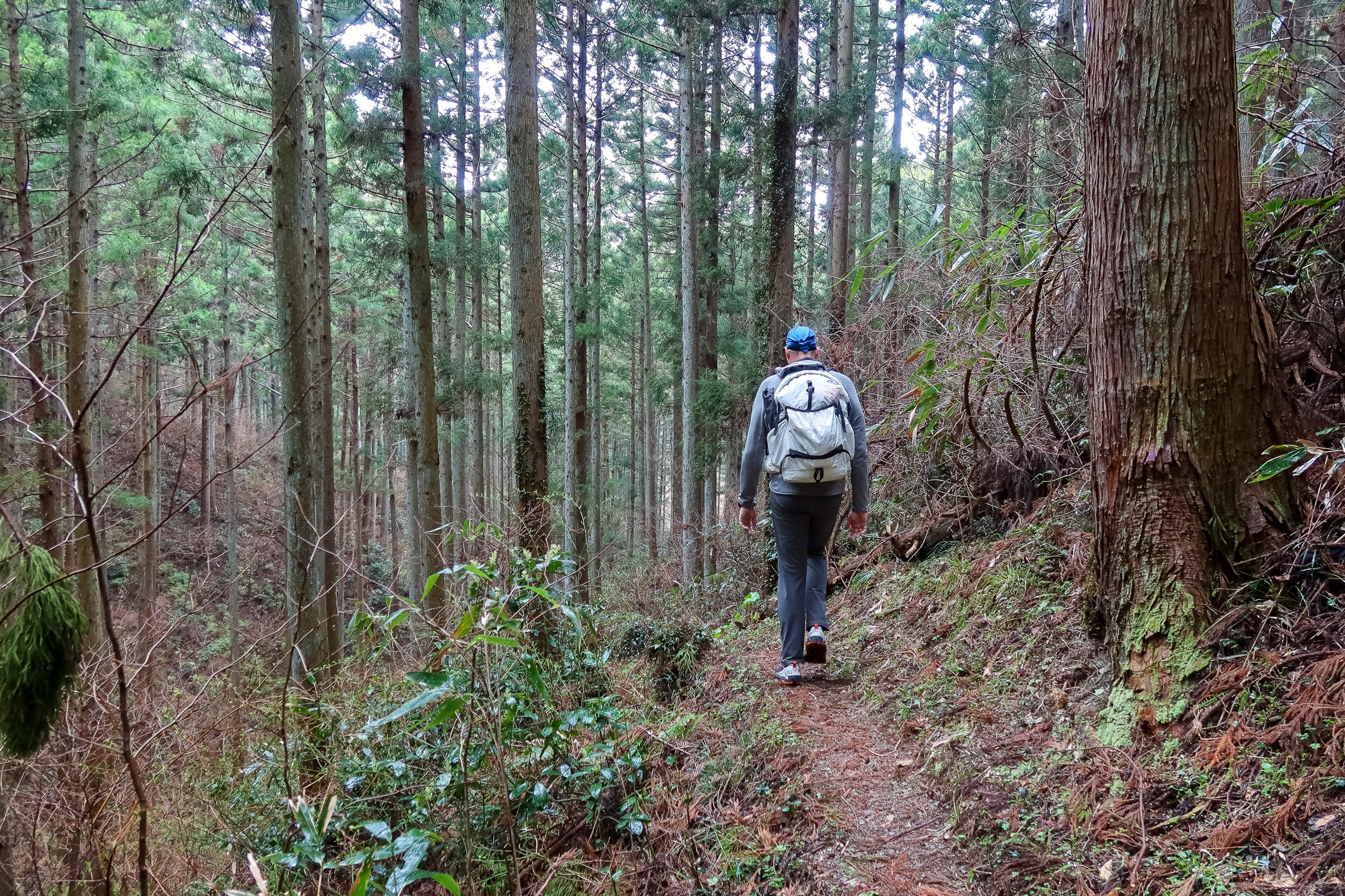
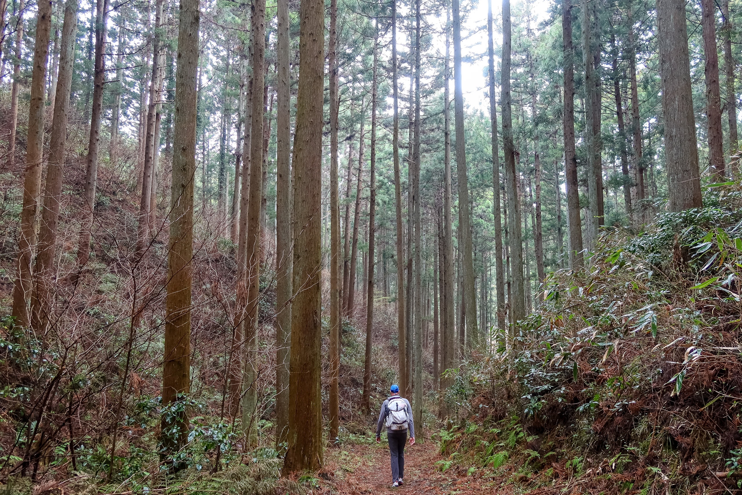
While Mt. Shinzan and the two smaller peaks before this were covered almost entirely with broadleaf trees, the rest of the northern Horst after Mt. Shihō was taken over by dense, man-made forests of cedar and cypress.
All in all, the 12-kilometer Watari Horst traverse was an easy trail to walk, with plenty of viewpoints on both sides. Still, 12 kilometers is a long way, and once you’re up on the ridgeline, the only real escape route in case of emergency is the service road below.
Rain was forecast for the afternoon, and this time we suspected the meteorologists would be right. The sky had been heavy with clouds all morning and was only getting darker. The silver lining was that the temperature stayed comfortably cool and we didn’t have to worry about sunburn—an acceptable tradeoff for fewer views and a sweat-free walk.
Around 2:15 p.m., we finally felt a few light raindrops on our faces. Looking down from the mountain, we could see rain fog drifting across the lowlands, slowly swallowing the view. Fortunately, the leafless stretches were behind us, and the evergreen trees now formed a natural umbrella. We picked up the pace, walking a little faster but still without putting on our rain jackets.
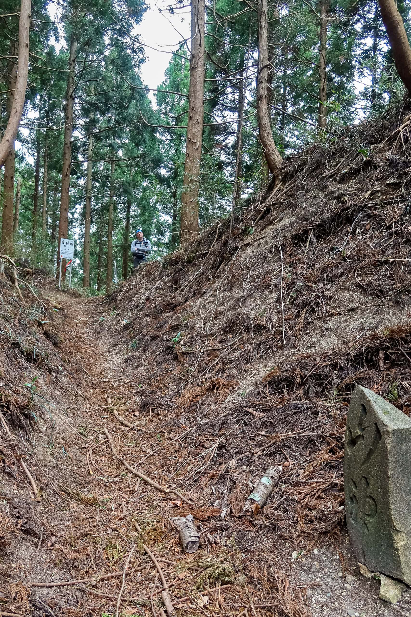
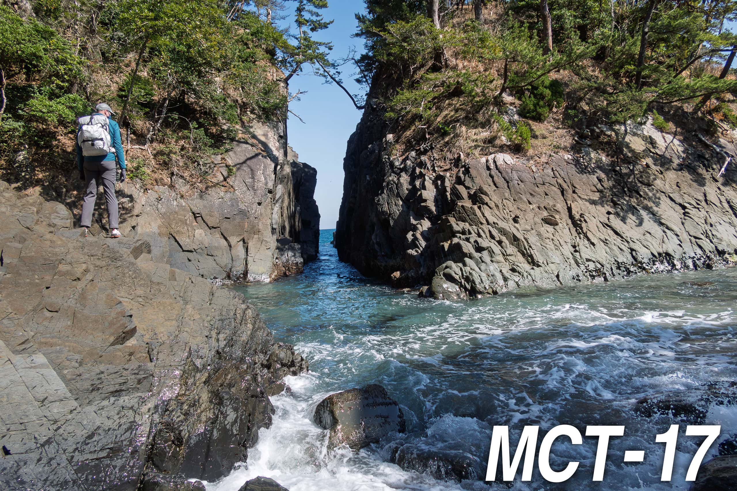
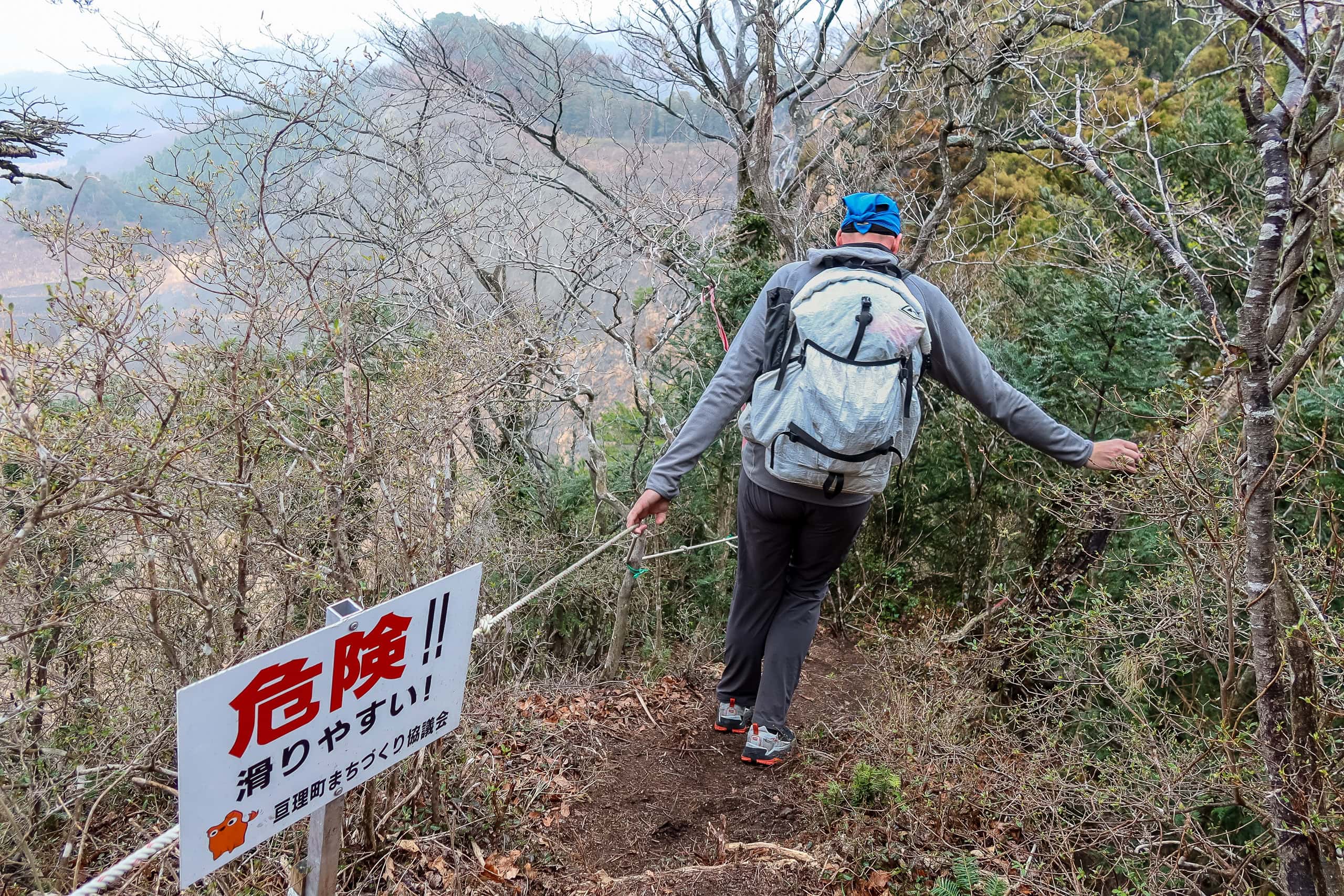
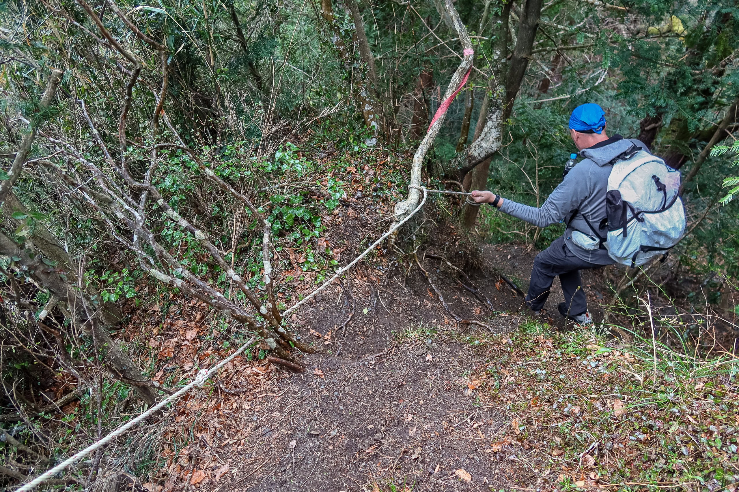
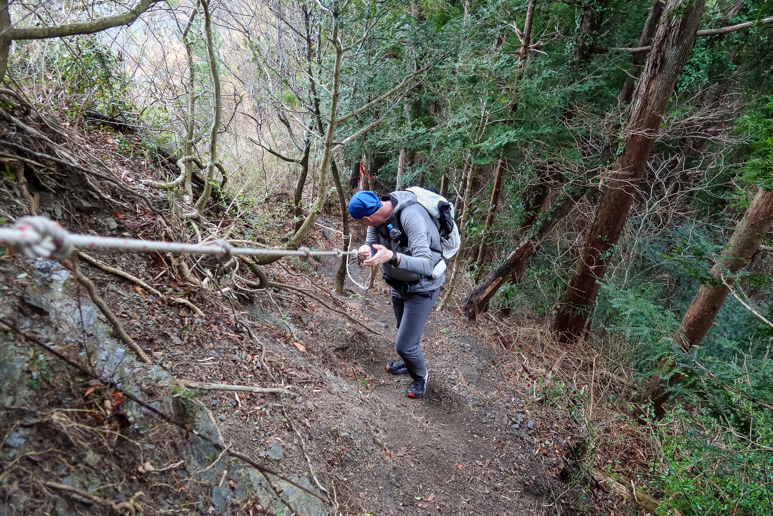
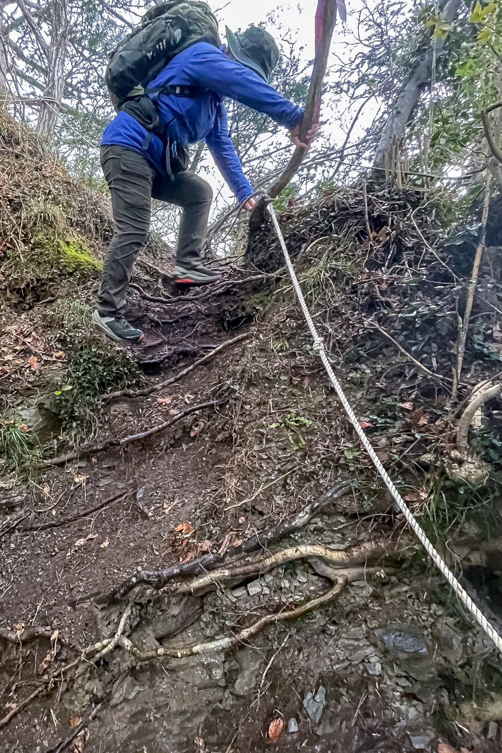
Since leaving the trailhead of Mt. Shinzan, there hadn’t been a single spot that required special caution — until now. At the start of the final descent, a large white sign with bright scarlet letters shouted “DANGER!! SLIPPERY.” The same warning appeared in the MCT map book. Beyond the sign, the ridgeline suddenly ended. The entire mountainside had been carved away, leaving an enormous quarrying pit in front of us, and the trail dropped sharply along its edge.
We were grateful the rain hadn’t gotten any heavier. If it had, this section could have been truly dangerous — less “walk down” and more “slide down” — on the steep, slick slope, holding onto a single rope tied to the trees.
Once we made it past this unexpected challenge, the trail mellowed out again. The MCT route gradually descended through a quiet forest of misty cedar trees, the sound of raindrops tapping gently on the canopy.

Watari ― Rain, Roads, and Route Debates
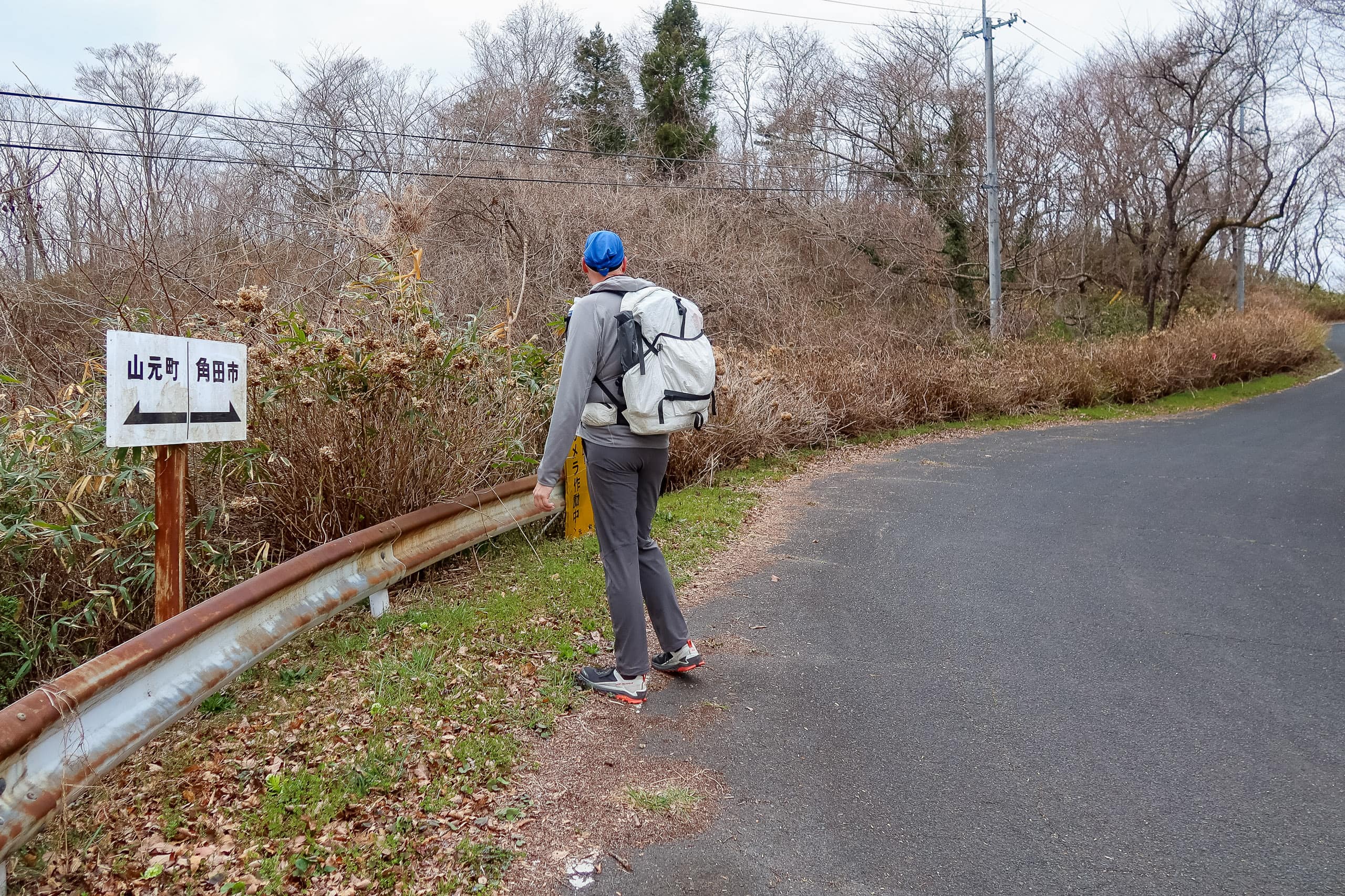
When we finally exited the Watari Horst traverse through another trailhead, we realized we had crossed a town boundary somewhere in the mountains without even noticing. We were now in Watari Town 亘理町.
Checking the map later, we saw that the border ran right around the midpoint of that road section before Mt. Shiho — a transition as invisible as it was effortless.
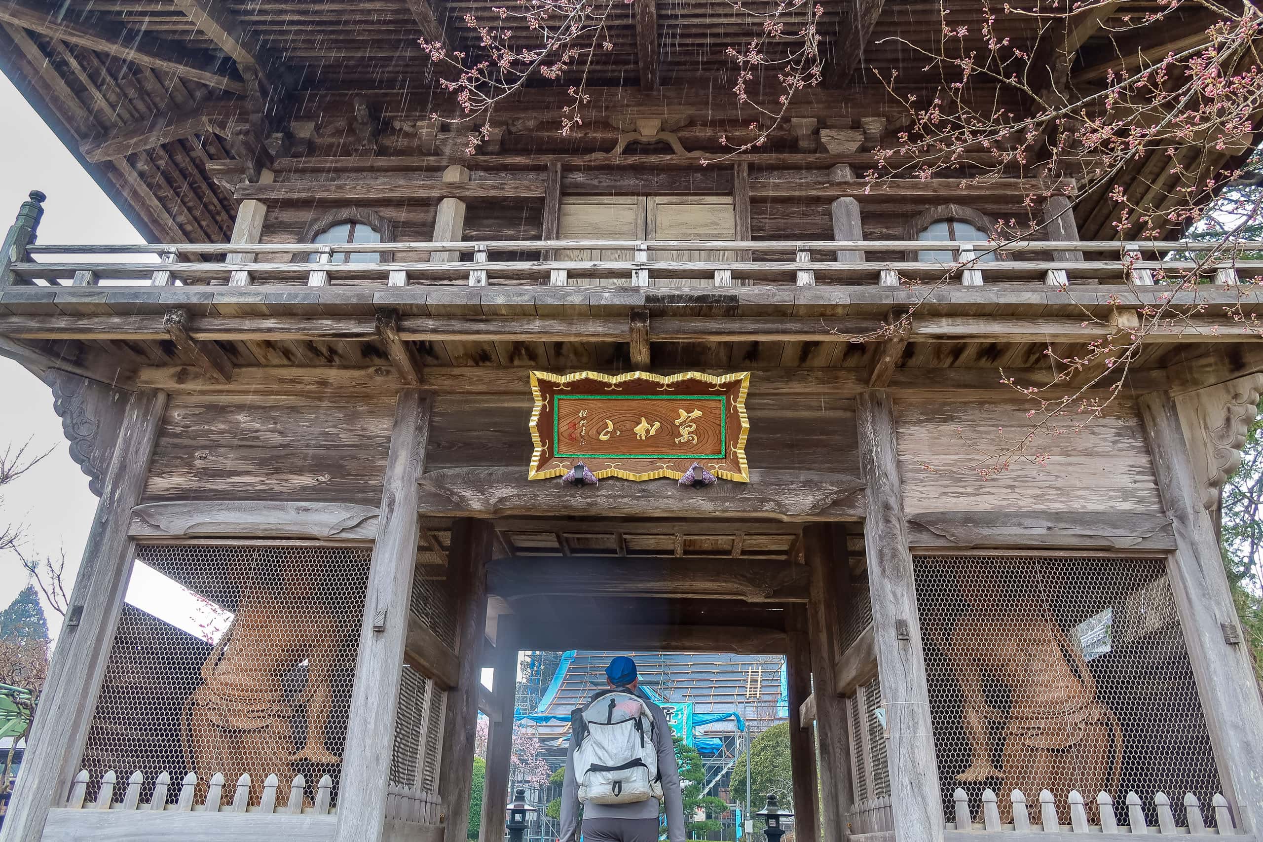
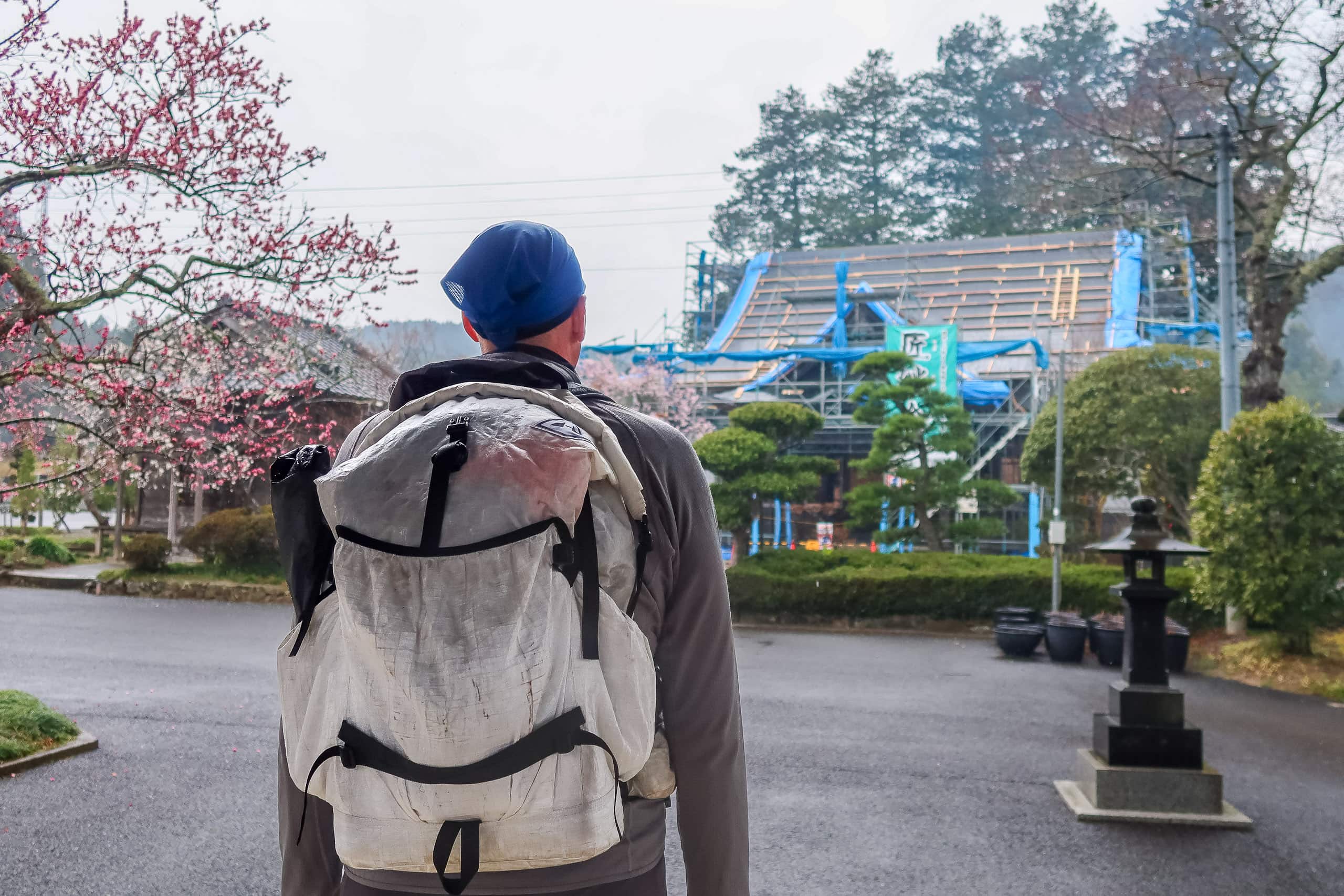
While Erik felt that rain should earn us a shortcut to our goal, I insisted on following the “correct route” on the official map — even when it meant a seemingly pointless detour around a residential area with nothing notable along the way. Well, almost nothing: there was a junior high school, and an old temple whose main hall was under major roof repair and wrapped in blue construction sheets.
Even after this, my stubborn obsession with the “correct” line would continue for a while—until, after many lessons, I finally accepted that in many places it’s simply not worth trying to trace the exact route on the map.
The Horst traverse itself was a delight, and we wanted to applaud whoever chose it for the MCT. But we didn’t always understand the point of some residential zigzags we’d walked so far, and we found ourselves wondering—honestly, no offense—why the route line ran there at all.
We did appreciate the local historical and cultural sites, and the seasonal beauty along the way. Still, like this rainy shuffle now, some of the zig-zag detours didn’t make much sense to us.
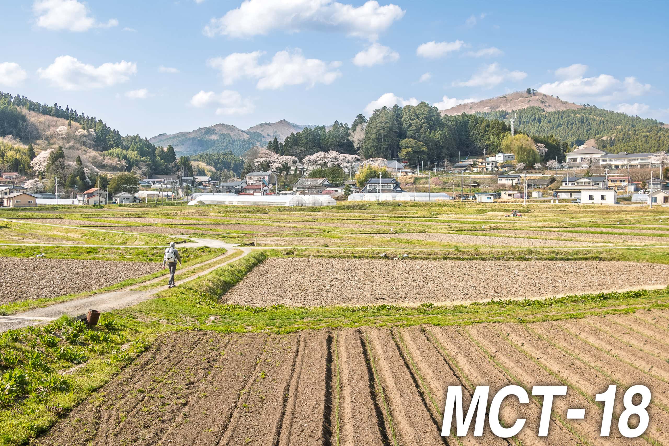
The rain never got heavy enough for jackets, so we kept walking through quiet, ordinary neighborhoods.
My feet had felt fine in the mountains, but these last concrete kilometers brought back the same soreness I’d had yesterday — probably because today we were hauling full gear again, unlike our lighter packs the day before.
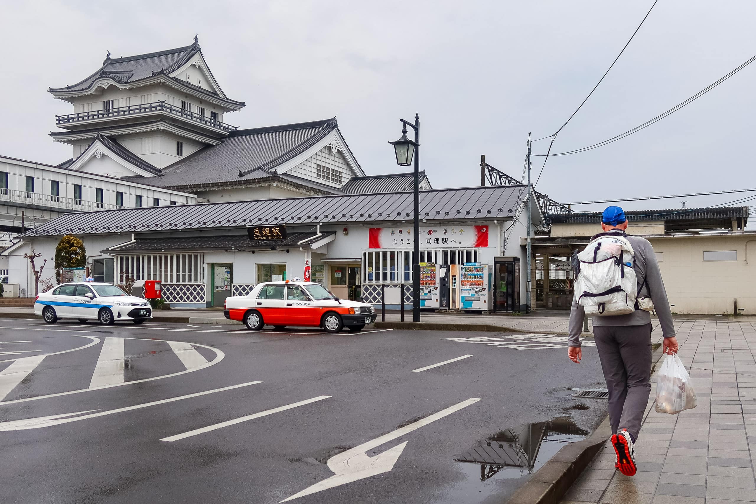
Our original target, Okuma Station 逢隈駅, was still about 6 km away when we decided to call it earlier at a large grocery store near a former castle site that has since become a shrine.
After picking up food for dinner, we looked around for a taxi. None. So we walked to the likeliest place to find one — Watari Station 亘理駅 — still no luck, despite a small hope we might flag one down en route.
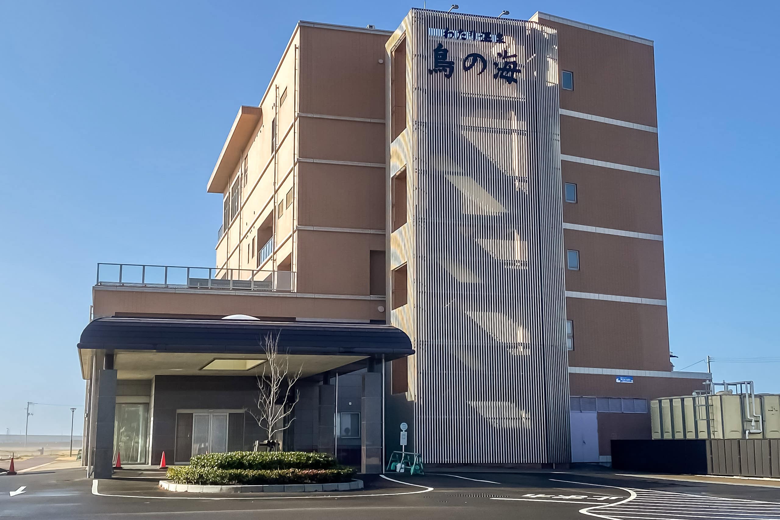
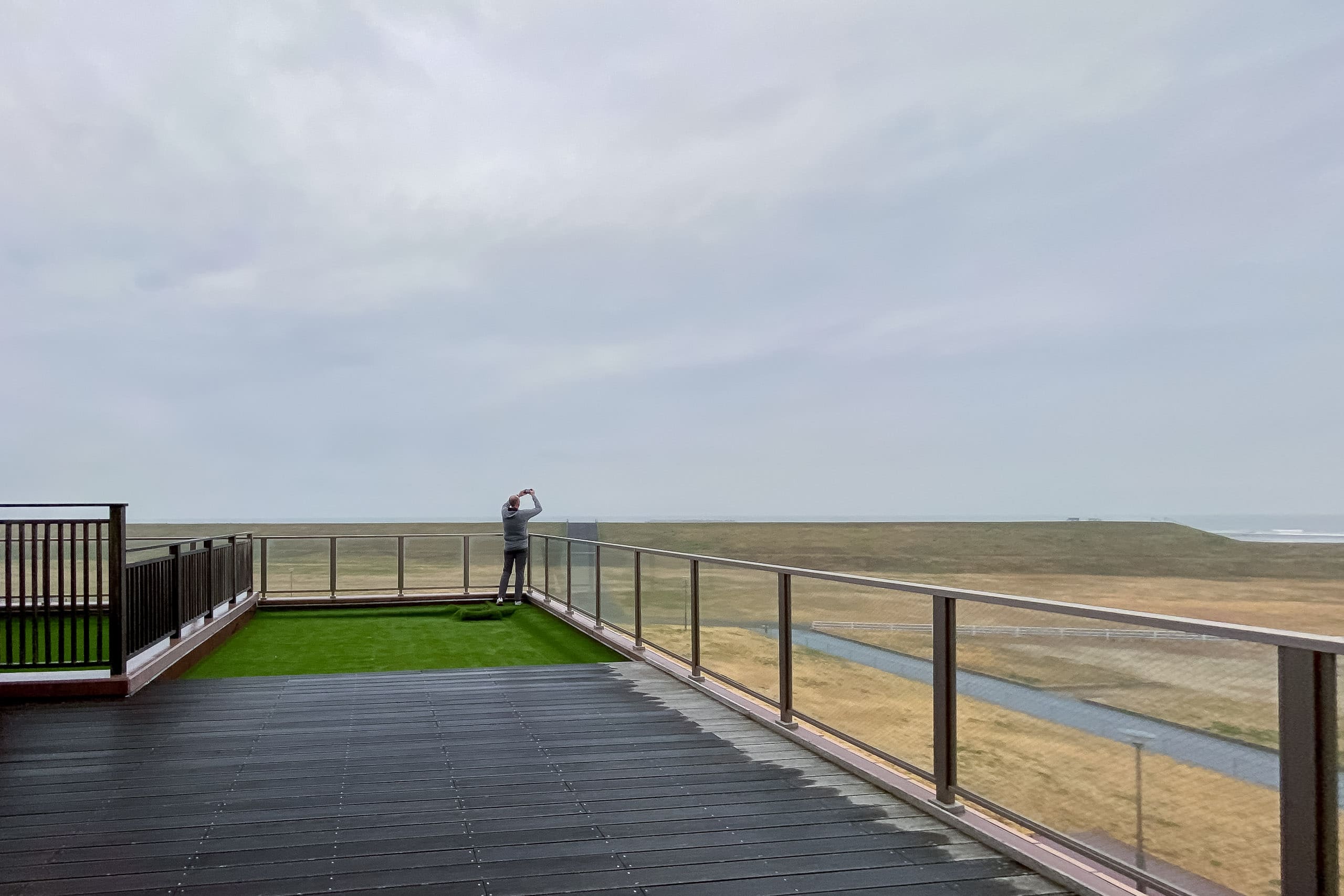
The Onsen Reward by the Sea
Tonight’s hotel was by the ocean, far from the MCT. In clear weather, the all-ocean-view rooms would have been the perfect ending to the day. Today, not so much. But the view didn’t really matter: we chose this place for its excellent onsen, including an outdoor bath on the terrace. After the daytime visitors leave, the baths are just for hotel guests at night.
The slight inconvenience: the onsen hotel was 7 km from the grocery store — nowhere near the MCT line. Even so, it felt non-negotiable to give our not-young-anymore bodies a bit of extra care every night if we were going to walk for 50 consecutive days. Good rest and deep sleep are the keys — at least for me.

Although most of today’s trails were soft and leaf-cushioned, and our distance barely reached 20 km, I was seriously exhausted.
The Watari Horst ridgeline sits around 250 m—hardly high at all. But when we checked our GPS, the total elevation gain and loss shocked us: both nearly 850 m. We’d thought the 12 km traverse was “mostly flat” and never felt it was strenuous. The numbers told a different story—how those small ups and downs quietly pile up in the body by day’s end.
Day 3 – MCT
| Start | Yamashita Station |
| Distance | 19.4km |
| Elevation Gain/Loss | 556m/549m |
| Finish | Watari Station |
| Time | 7h 40m |
| Highest/Lowest Altitude | 286m/ 3m |
The Michinoku Coastal Trail Thru-hike : Late March – Mid-May 2021
- The first and most reliable information source about MCT is the official website
- For updates on detours, route changes, and trail closures on the MCT route
- Get the MCT Official Hiking Map Books
- Download the route GPS data provided by MCT Trail Club
- MCT hiking challengers/alumni registration