

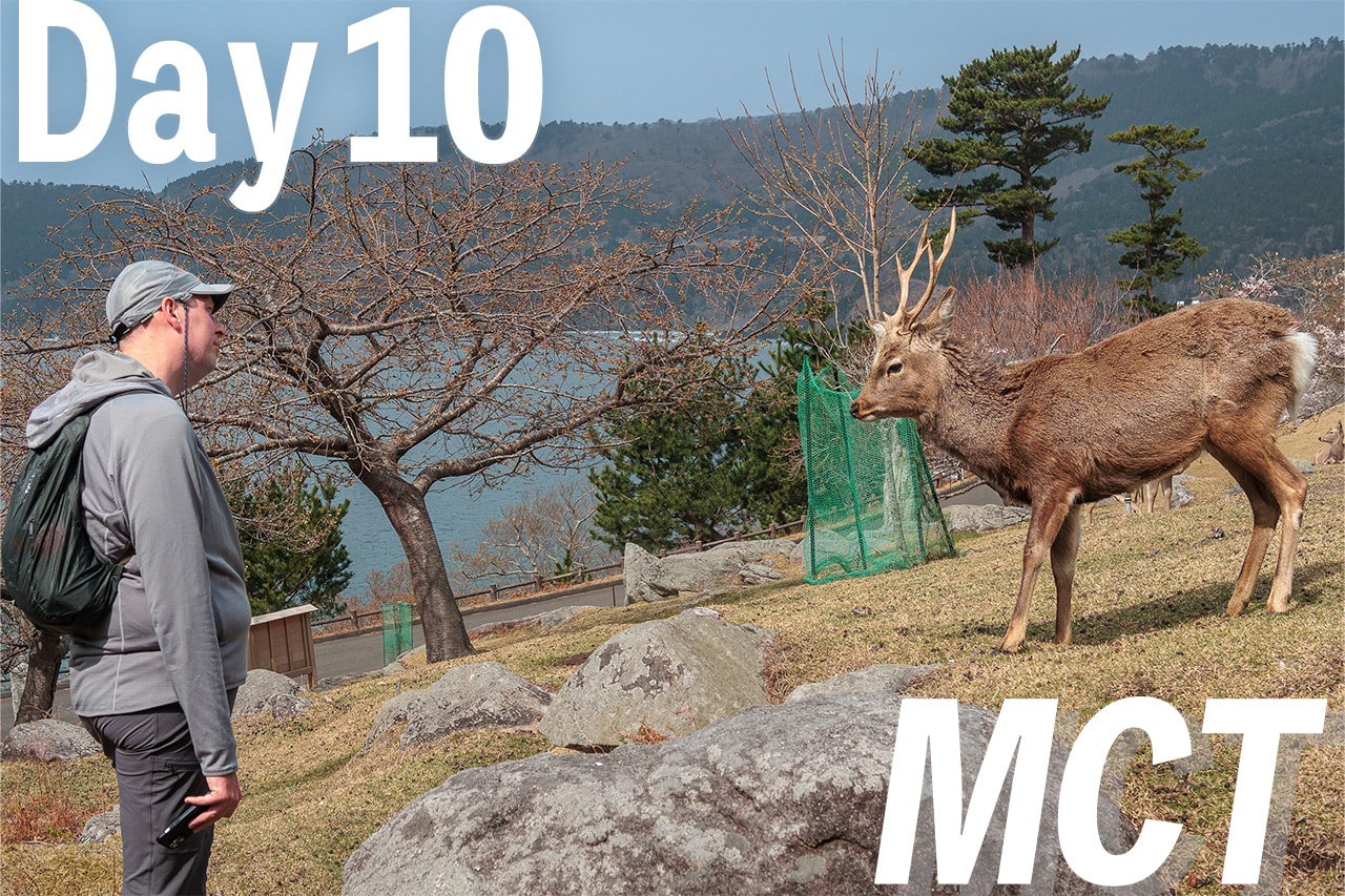
A Slow Morning and Lessons from Six Days Northbound
Our hotel last night, Dormy Inn Express Sendai Port, had an amazing large hot spring — the perfect place to recharge. With today’s distance estimated at just 15 kilometers, much shorter than the last few days, we allowed ourselves a slow morning and lingered over the breakfast buffet in the dining hall.
At check-out, we handed two new supply boxes to the front desk and arranged to ship them ahead to our next destination. Since we’d already booked accommodations for the coming week, the boxes would be waiting for us at the last stop.


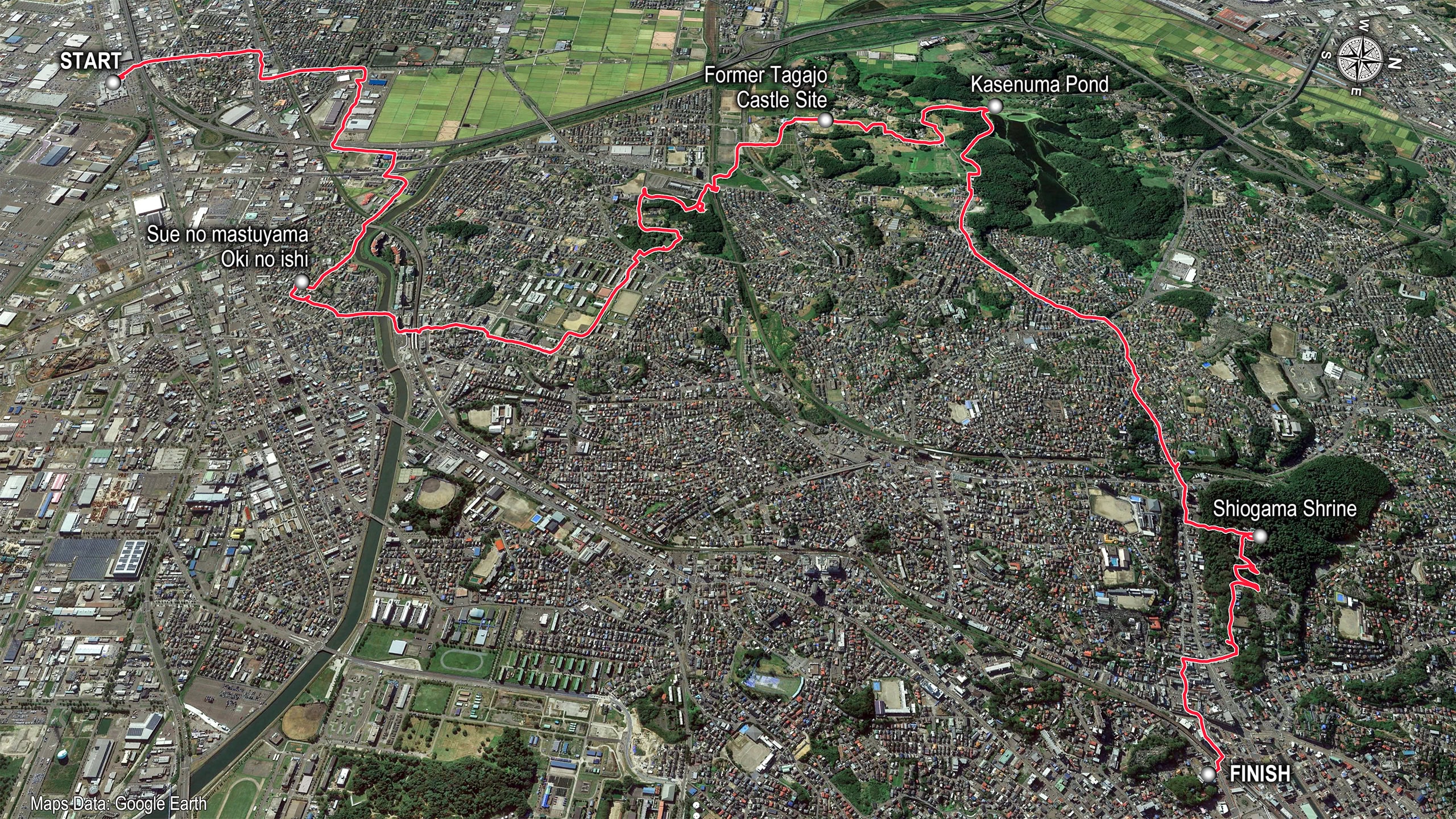
It’s hard to believe six days have already passed since we began our Michinoku Coastal Trail journey from the southern terminus in Soma. Along the way, we’ve found more advantages to walking northbound (NOBO) — following Tohoku’s Pacific coast toward the northern end in Hachinohe, Aomori.
One clear benefit is that this early stretch offers plenty of shops and supply points.
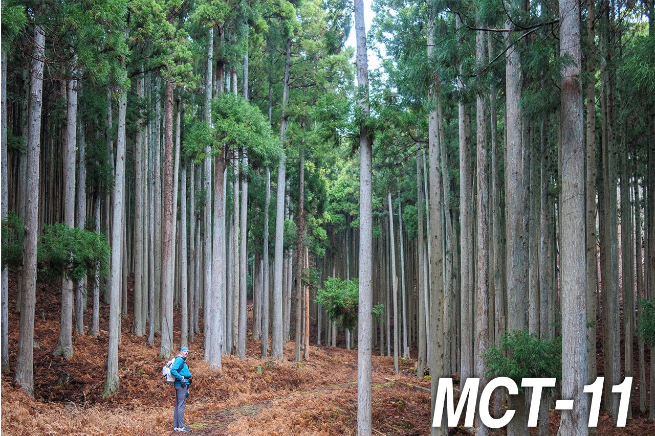
After nearly a week of walking both paved roads and mountain trails, we’ve learned what truly earns a place in our packs — and what doesn’t. For the past two days, we’ve aimed for larger towns as our daily goals, where we can stock up, reorganize, and fine-tune our gear for the miles ahead.
The Last Gear Stop on the MCT
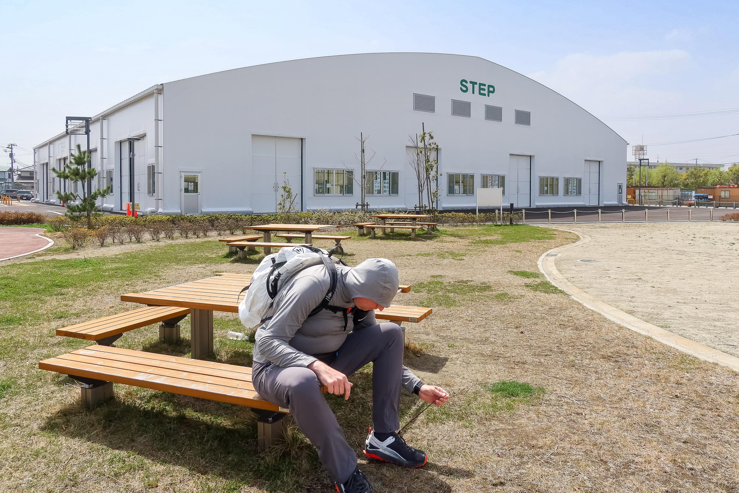
Right behind our hotel was a large factory outlet mall. Before setting off, we made a quick stop there to visit the Mont-bell store — Japan’s largest outdoor gear brand, known for its reliable quality and reasonable prices. It’s also the only Mont-bell along the entire Michinoku Coastal Trail. We picked up a pair of summer gloves and a hat strap, both simple but useful.
I should emphasize: this is the last proper hiking gear store you’ll find north of here, all the way to the trail’s northern terminus in Hachinohe. Bug spray, sunscreen, and stove fuel can still be found at drugstores or home centers, but if you need a new pack, trekking poles, or shoes, this is your final chance.

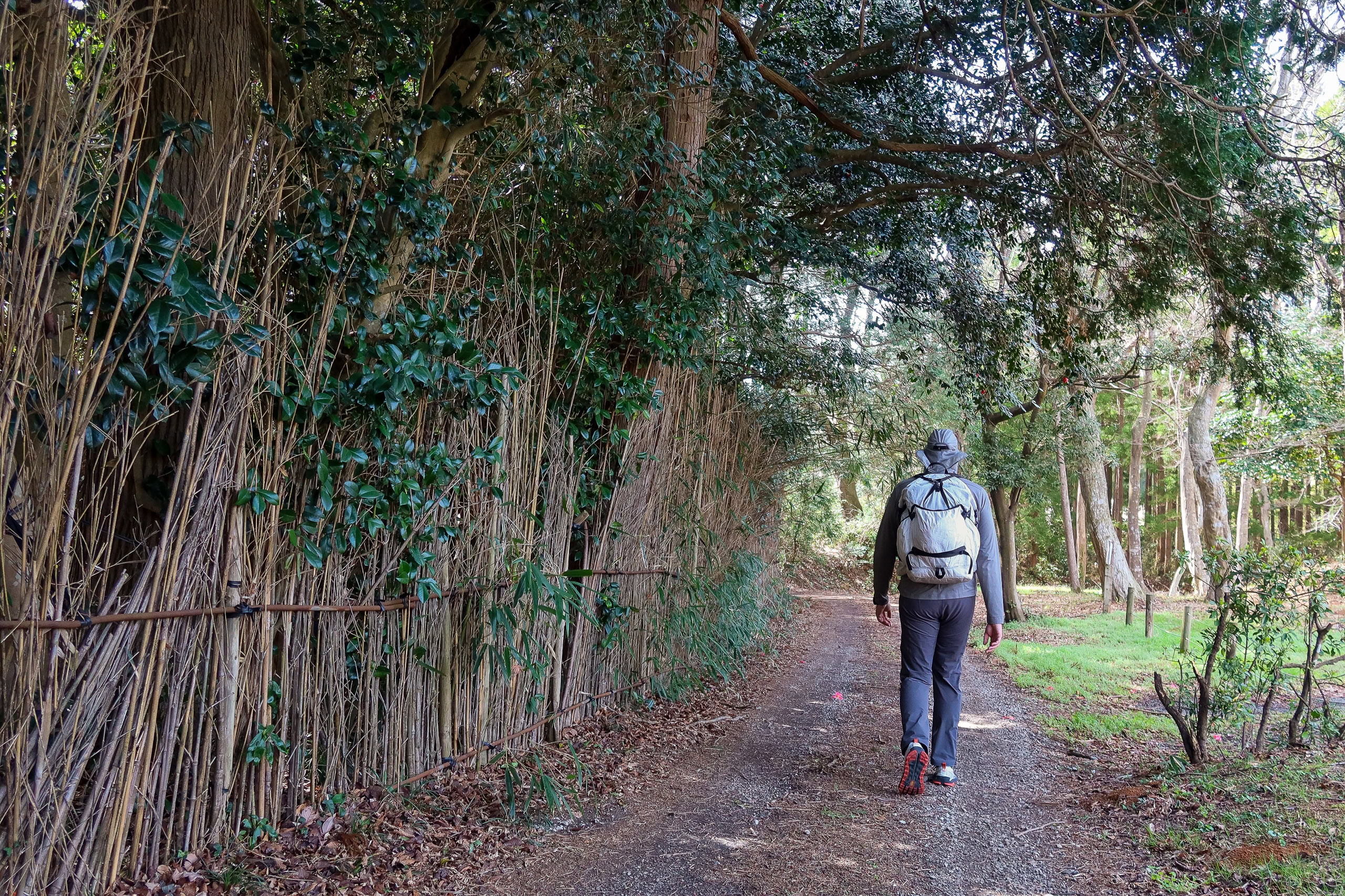
The day’s first stretch took us through a small industrial zone. Warehouse streets gave way to busy car roads, and soon we were walking through quiet residential blocks.
It was only then we realized our short time within Sendai City’s portion of the MCT was already behind us. Ahead lay our next municipality — hello, Tagajo 多賀城市.

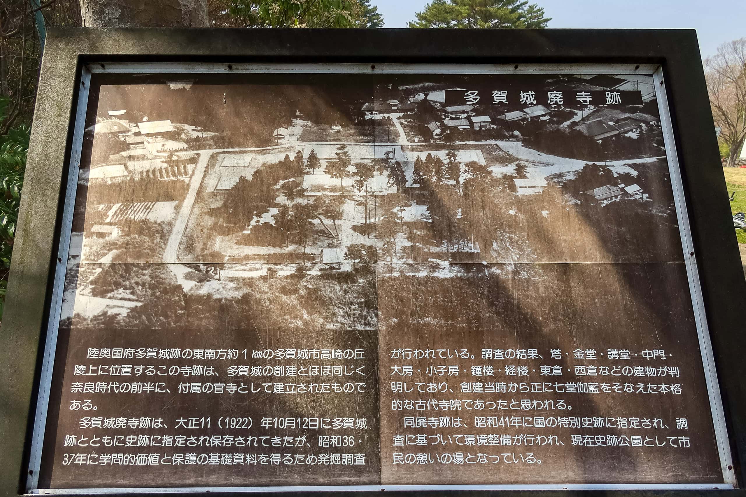
Tagajo — A City with 1,300 Years of History
While the MCT route passed through quiet residential streets, it occasionally took odd zigzags — narrow detours that seemed to weave pointlessly between houses. In earlier days, I’d often wondered why the trail was drawn that way, since there never seemed to be a clear reason. But today, we finally understood what the zigzag wanted to show us.
Tagajo is a city with more than 1,300 years of history. I still remember seeing its name in my high school history textbook — though that feels like ages ago — in the section on eighth-century Japan.
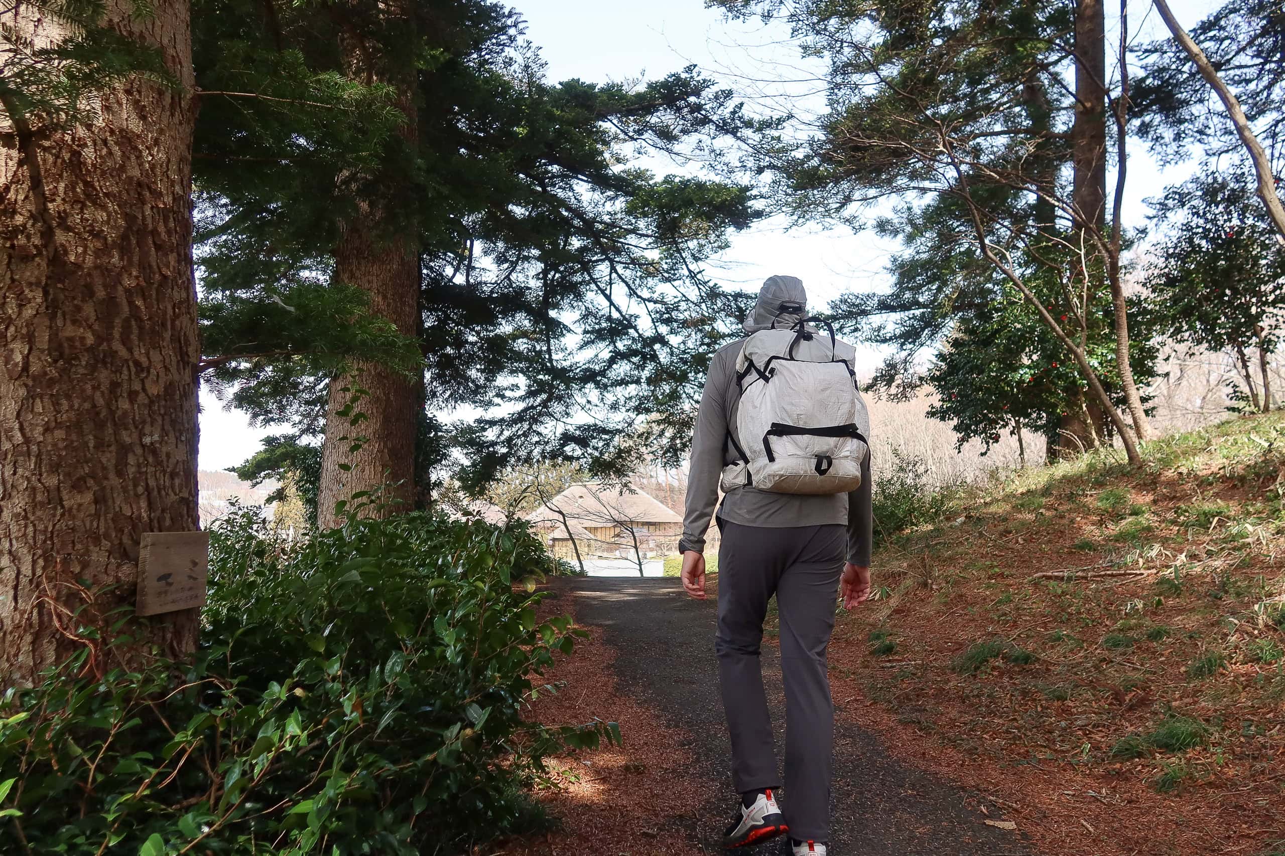
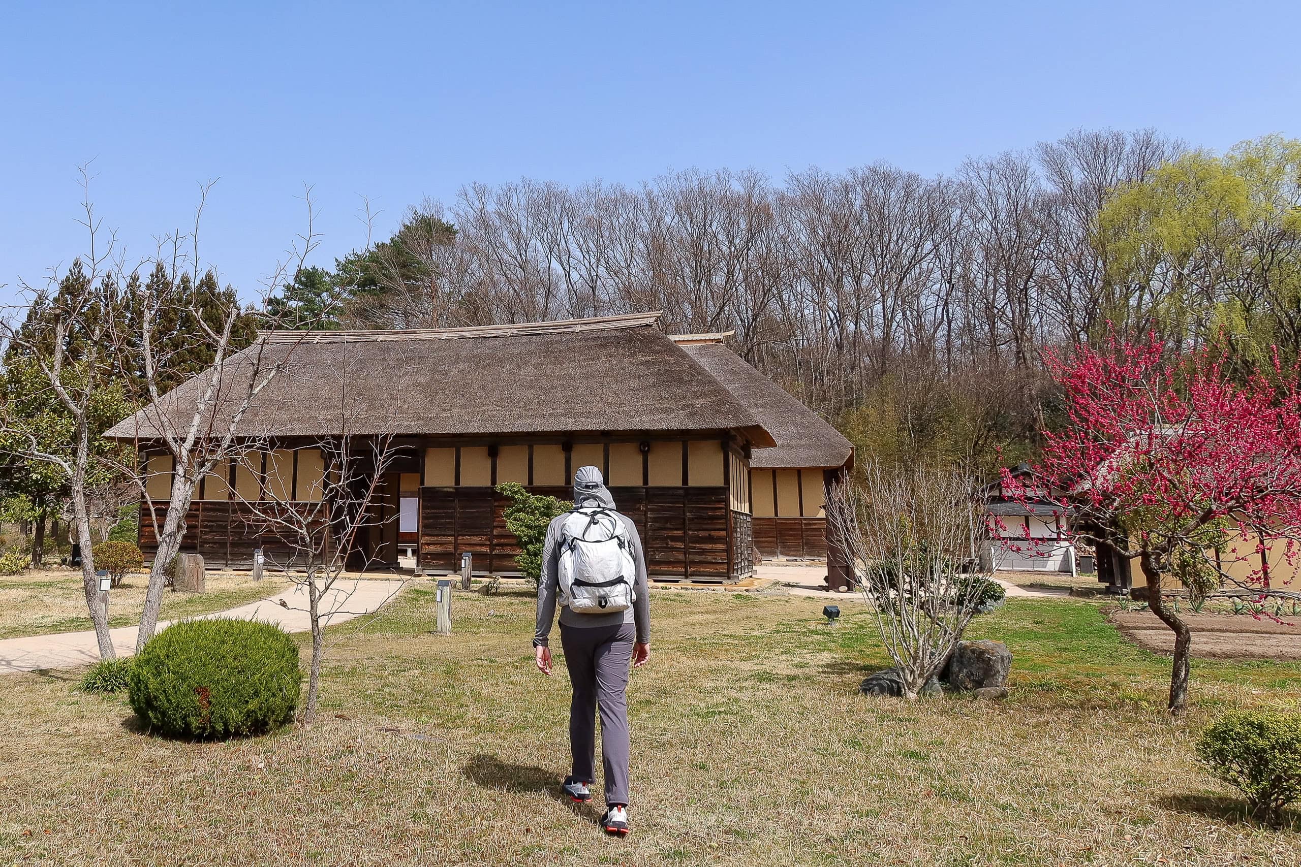
This relatively small city is full of historic sites, and the MCT’s winding path does a surprisingly good job connecting them all into one walkable route.

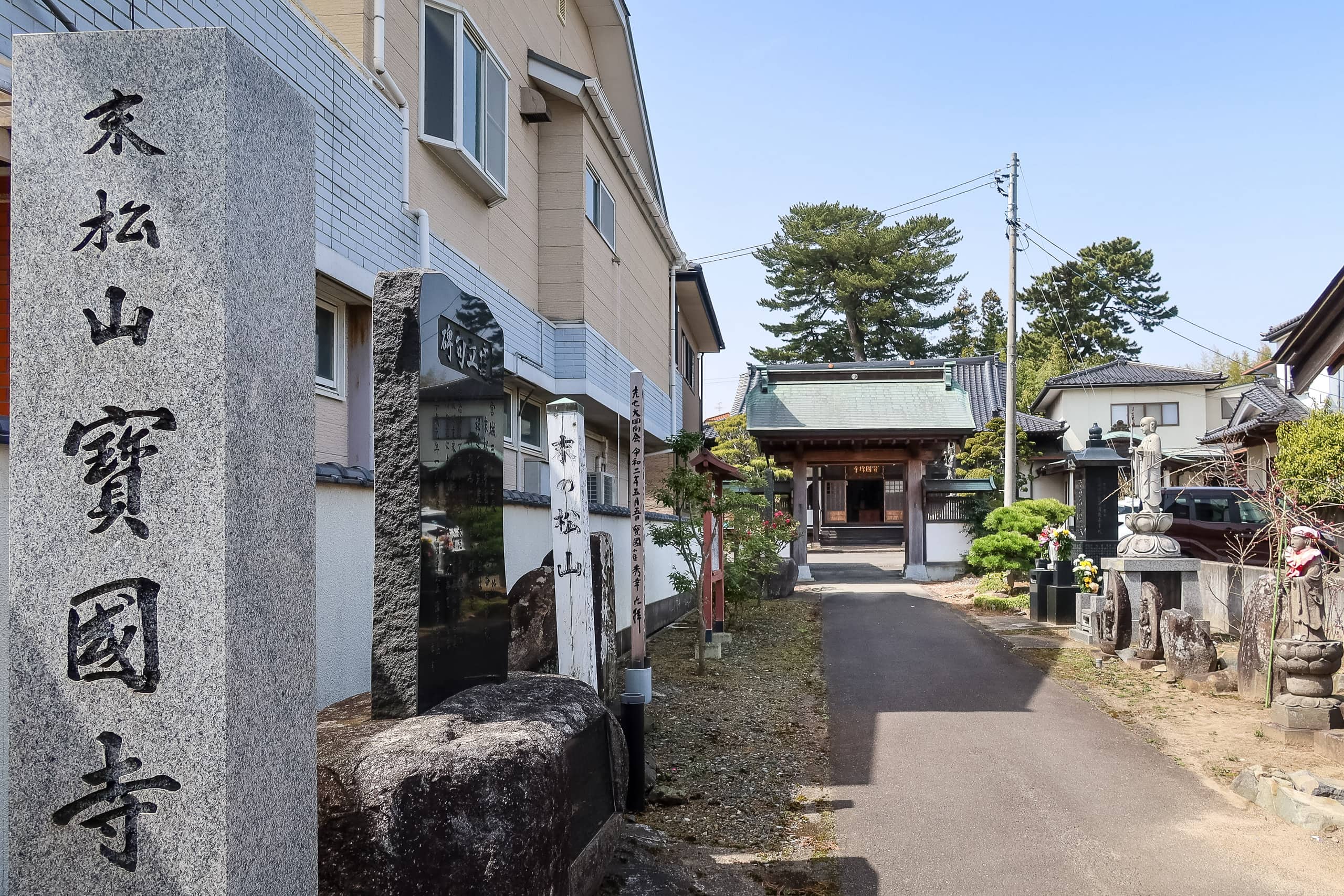
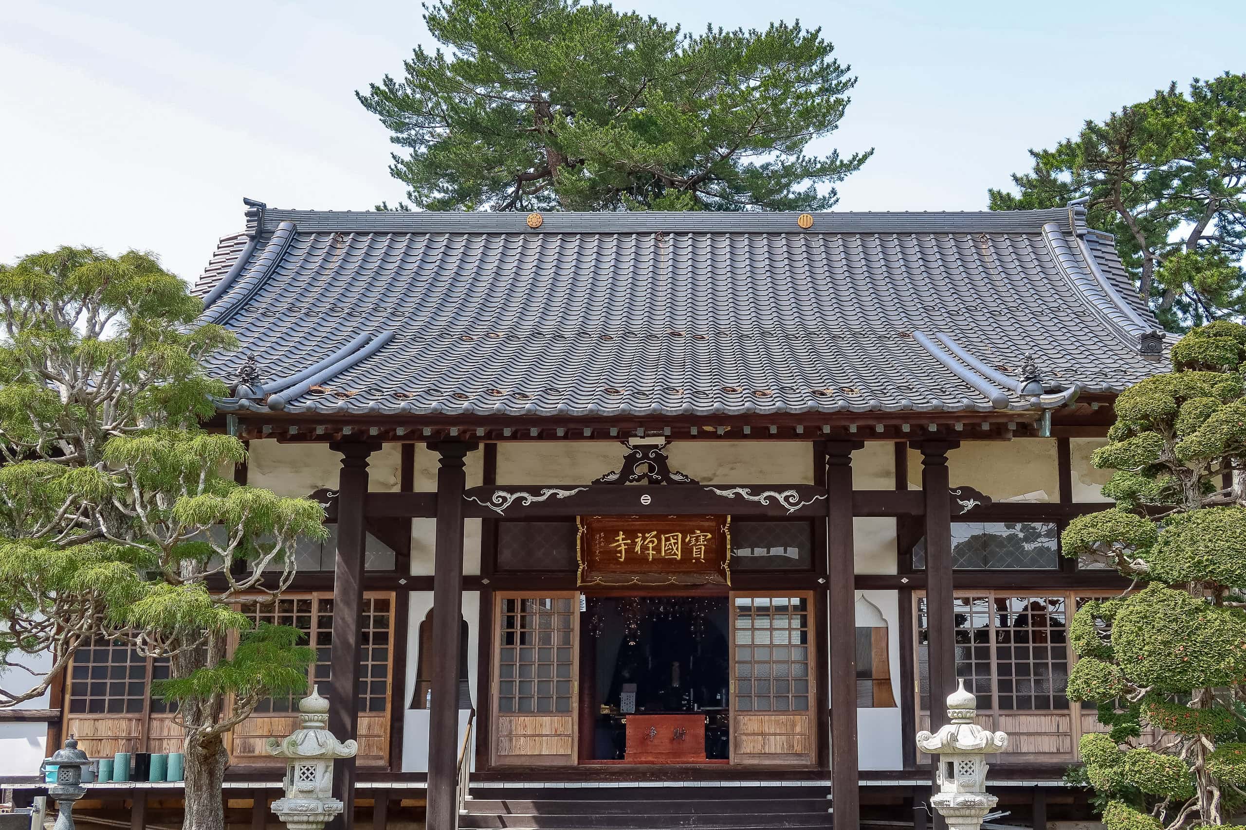
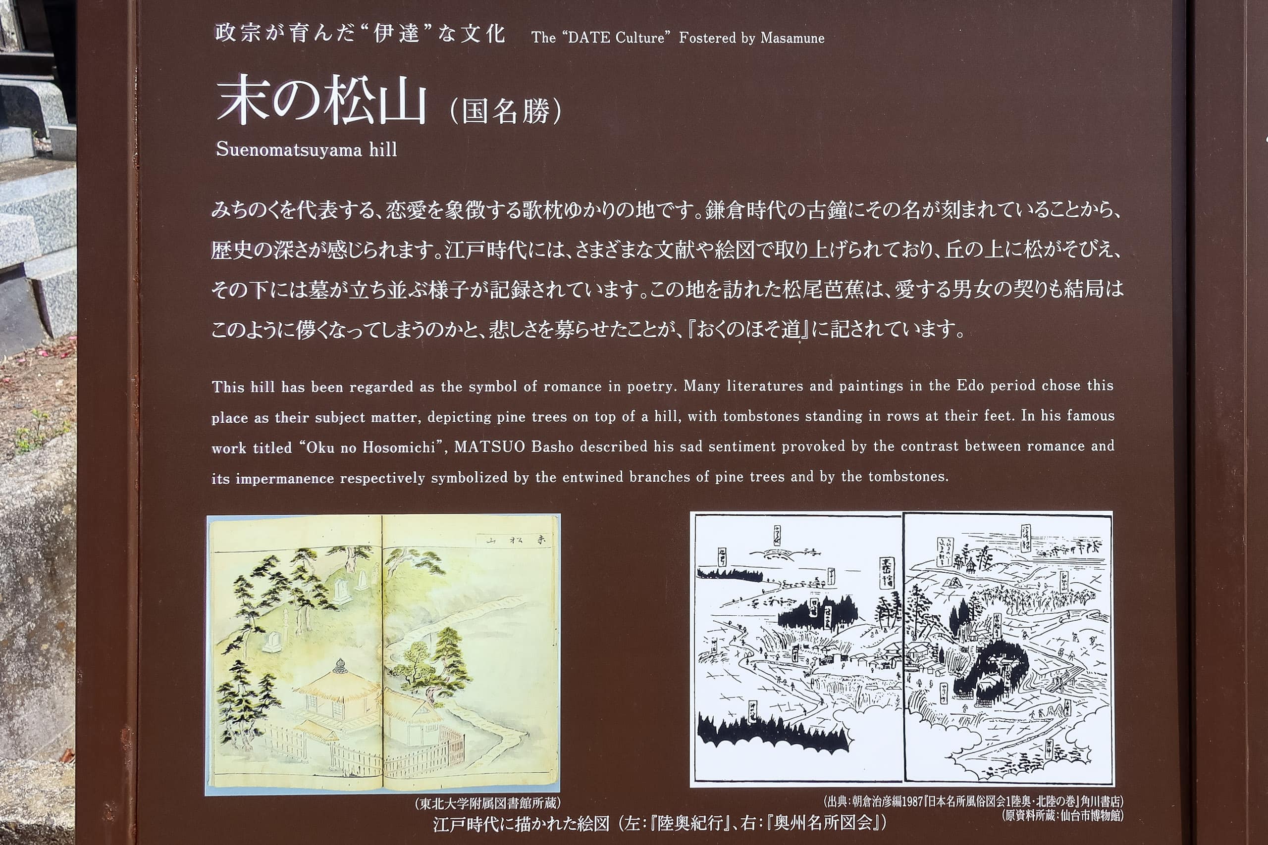
The first site we reached was a small hill behind a temple, crowned by two tall pine trees. This place, called Sue no Matsuyama 末の松山, was once used as a poetic metaphor in ancient waka poetry 和歌 (the thirty-one-syllable Japanese poem). Ironically, what now looks like a modest mound once symbolized an insurmountable height — so high, even the wildest waves could never reach it.
Of course, Erik was puzzled at first — to him, they were just two pine trees. But once I told him the story, I could feel my old Japanese literature lessons waking up in my memory.

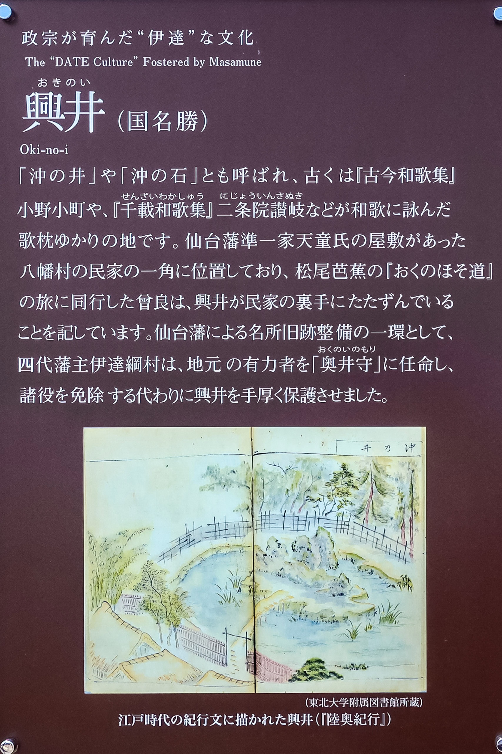
Only about 60 meters down the street from the hill was a small pond sitting rather randomly among modern houses. A rocky mound with a few pine trees rose from the middle of it. It looked entirely out of place in this suburban neighborhood. An information board identified the site as Oki no Ishi 沖の石 — and there went another flashback to my high school literature class.
The rocky mound was once a famous poetic image, representing something hidden, unknown, or unseen — because it was supposed to lie forever under the sea.

Today, that “hidden” rock stands exposed in the middle of a quiet residential area, far from the ocean. Over the last thousand years, the shifting earth must have lifted it above sea level. Whether the pond’s water comes from a natural spring or just collects rain, one thing’s certain — it’s not salty anymore.
Both the pine-tree hill and the rocky mound in this random pond are proof that this area once lay beneath the sea. That also explains why so few ancient sites in this region are located directly on today’s coastline.


Soon after, we passed Tagajo Station and entered the city’s northern side. In ancient times, this land had already risen above the water, which is why most of Tagajo’s historic remains are found here.
Cherry Blossoms and the Ancient Grounds of Tagajo
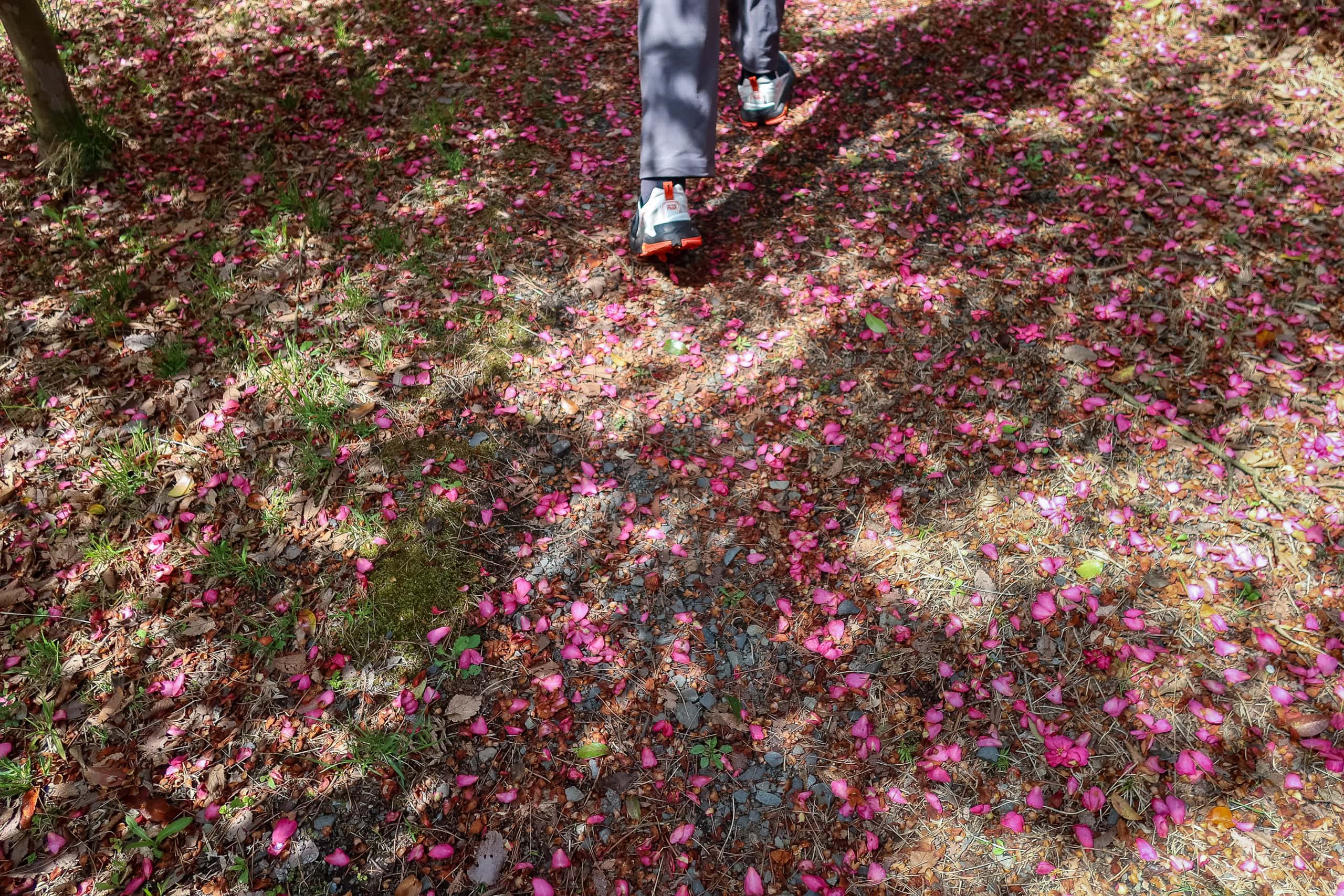
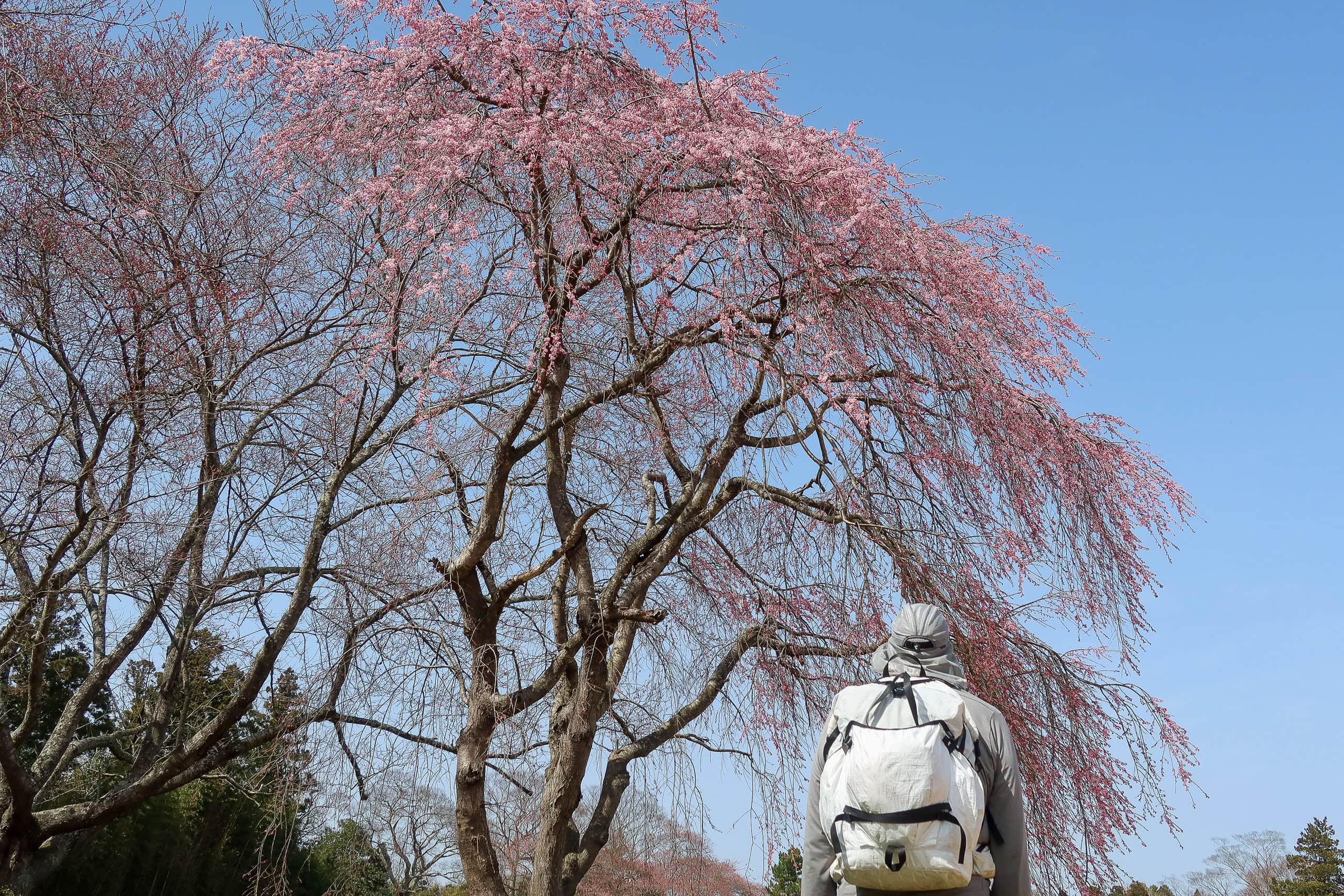
Cherry blossom front 桜前線 finally seemed to catch up with us this spring (2021). As we strolled through the city, most trees were one-third to half in bloom, sprinkling the streets with soft shades of pink.

Compared with yesterday, the weather felt kind and warm, the sky a clearer blue.
Unlike the previous day’s constant worry about water, we were in the city now — vending machines at every corner.
Nothing to complain about… except one small, personal problem: Erik couldn’t find his favorite brand of hot milk tea anywhere in southern Miyagi. As a Dutchman, his love for hot milk tea doesn’t waver, even mid-hike—he’ll drink as many cans or bottles as fate allows. Unfortunately for him, these machines kept letting him down. Maybe this area leans more coffee than black tea.

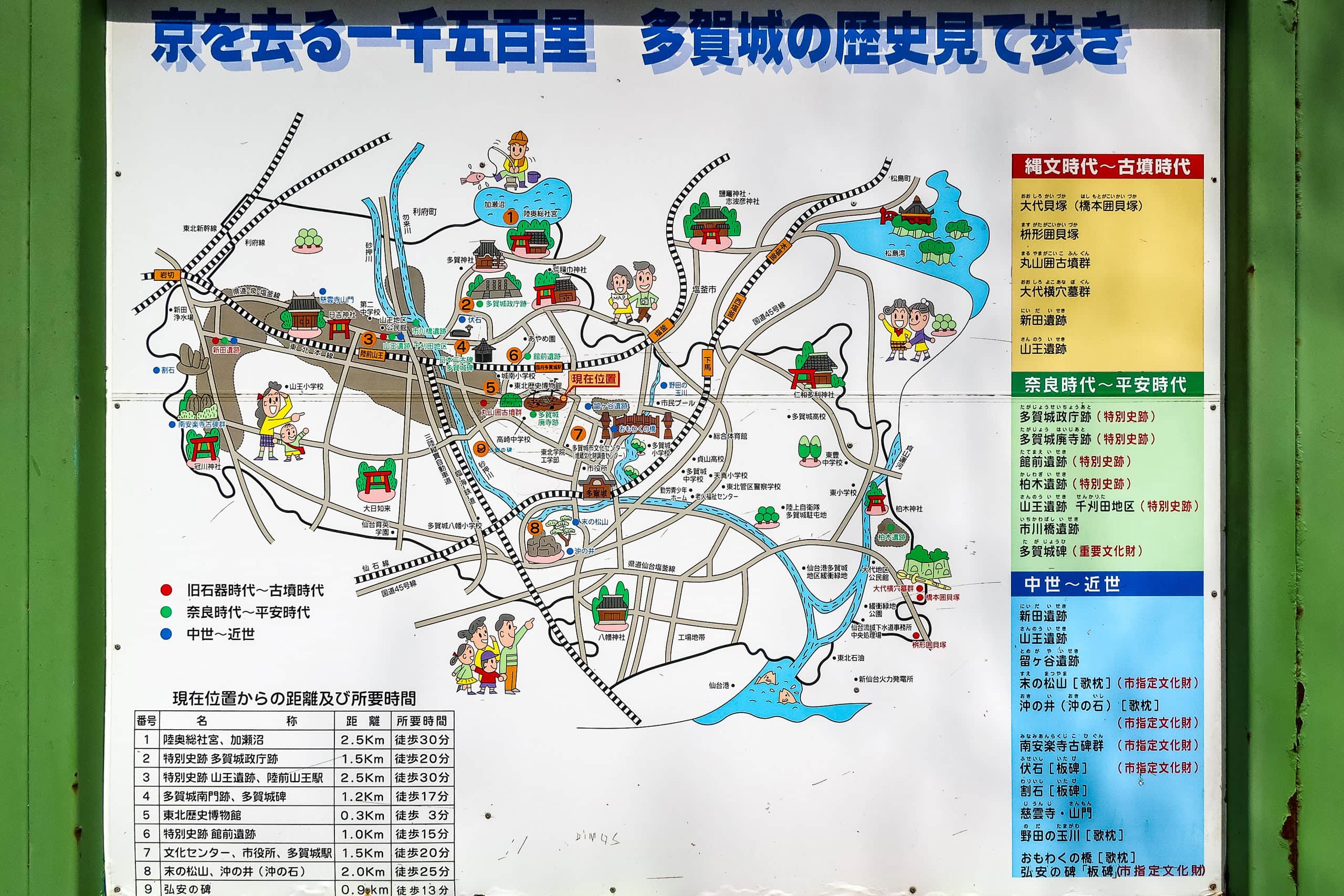
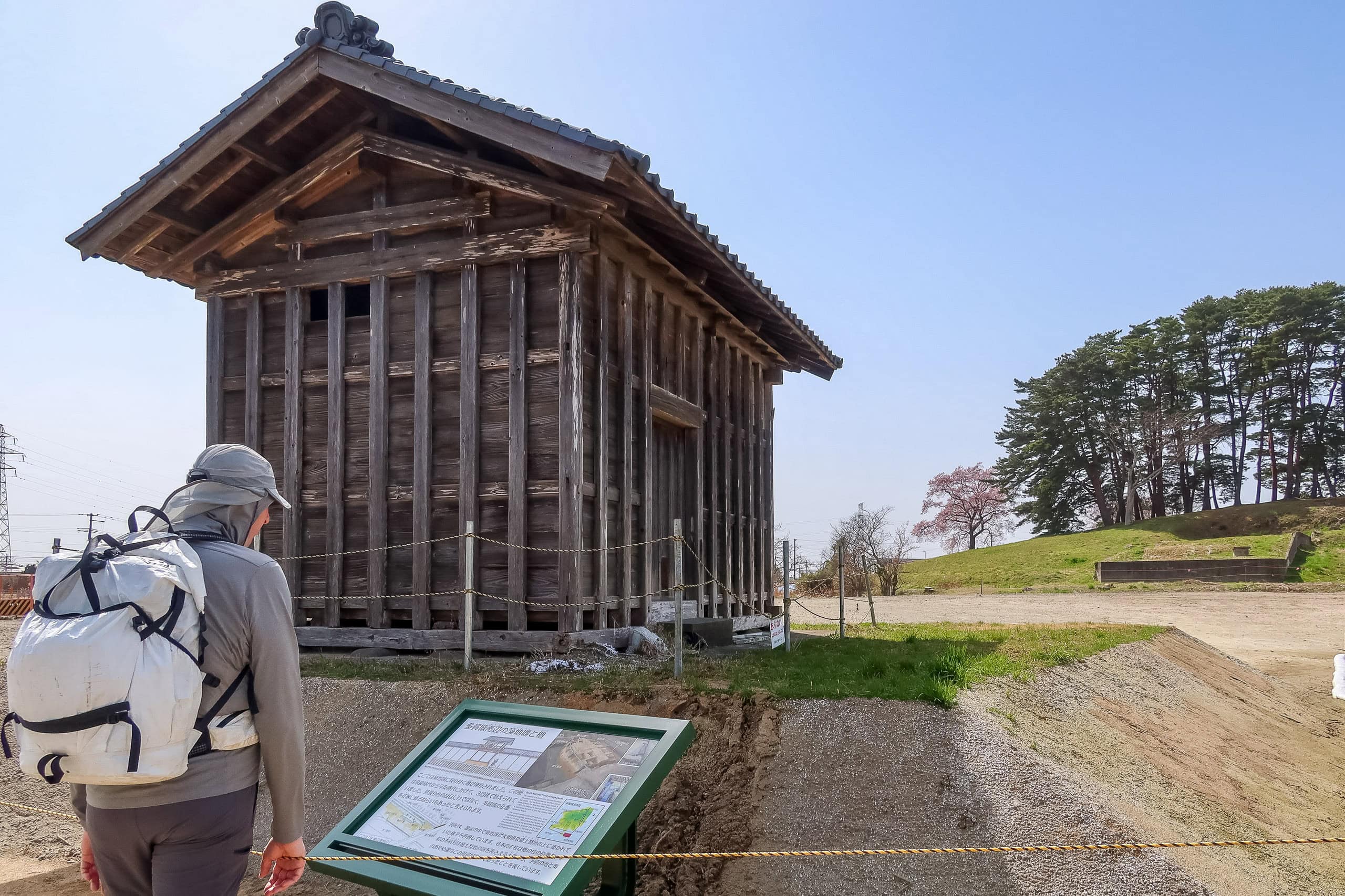
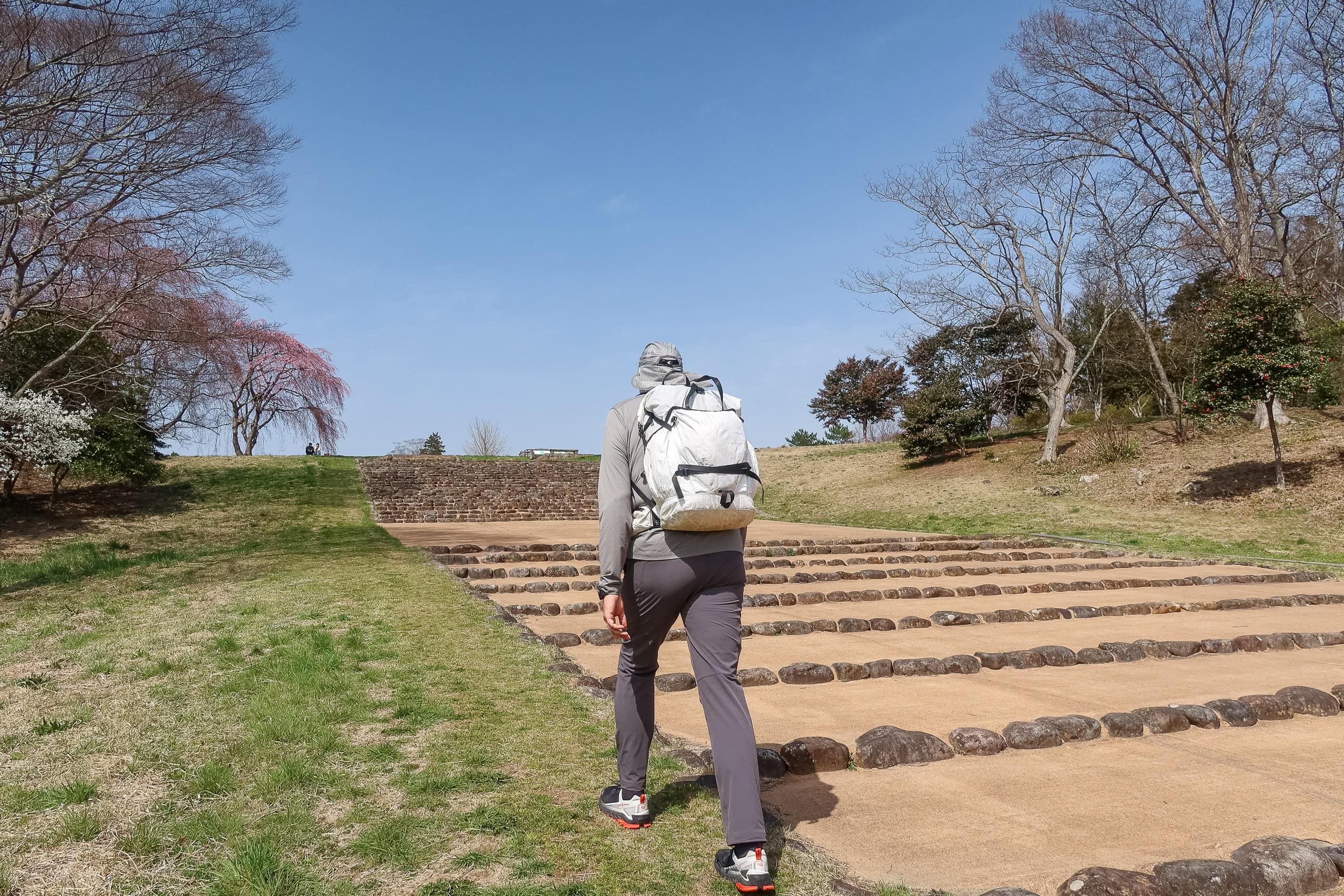
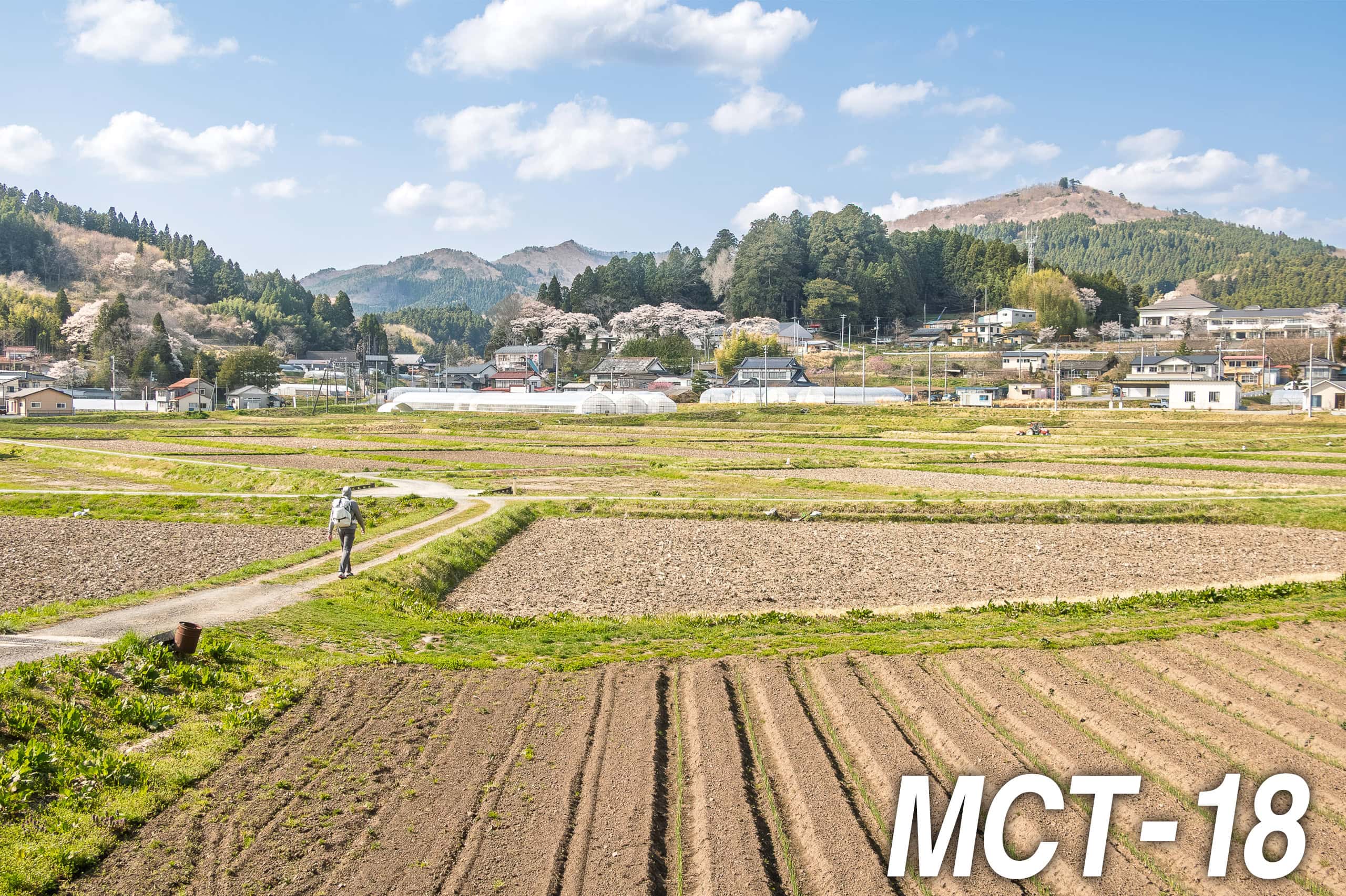
In Tagajo, several large open spaces were planted with lawn—not perfectly flat, but dotted with neat square or circular low mounds. These were the sites of ancient government offices from the Nara period, roughly 1,300 years ago.
Led by the MCT route, we walked across those historic sites and passed by old Shinto shrines and open-air history museums. We also found an interesting vending machine selling various vegetables, locally grown and fresh from the field right behind it.


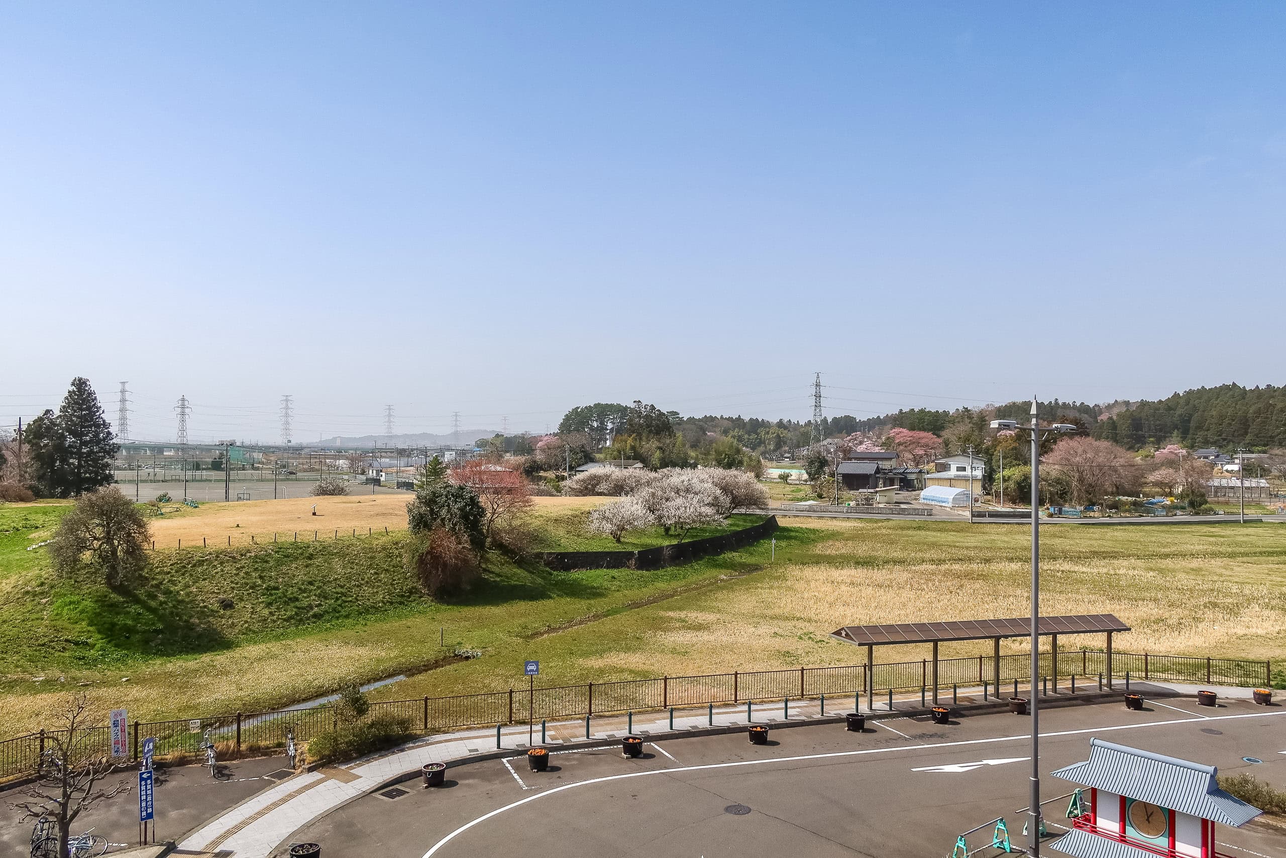


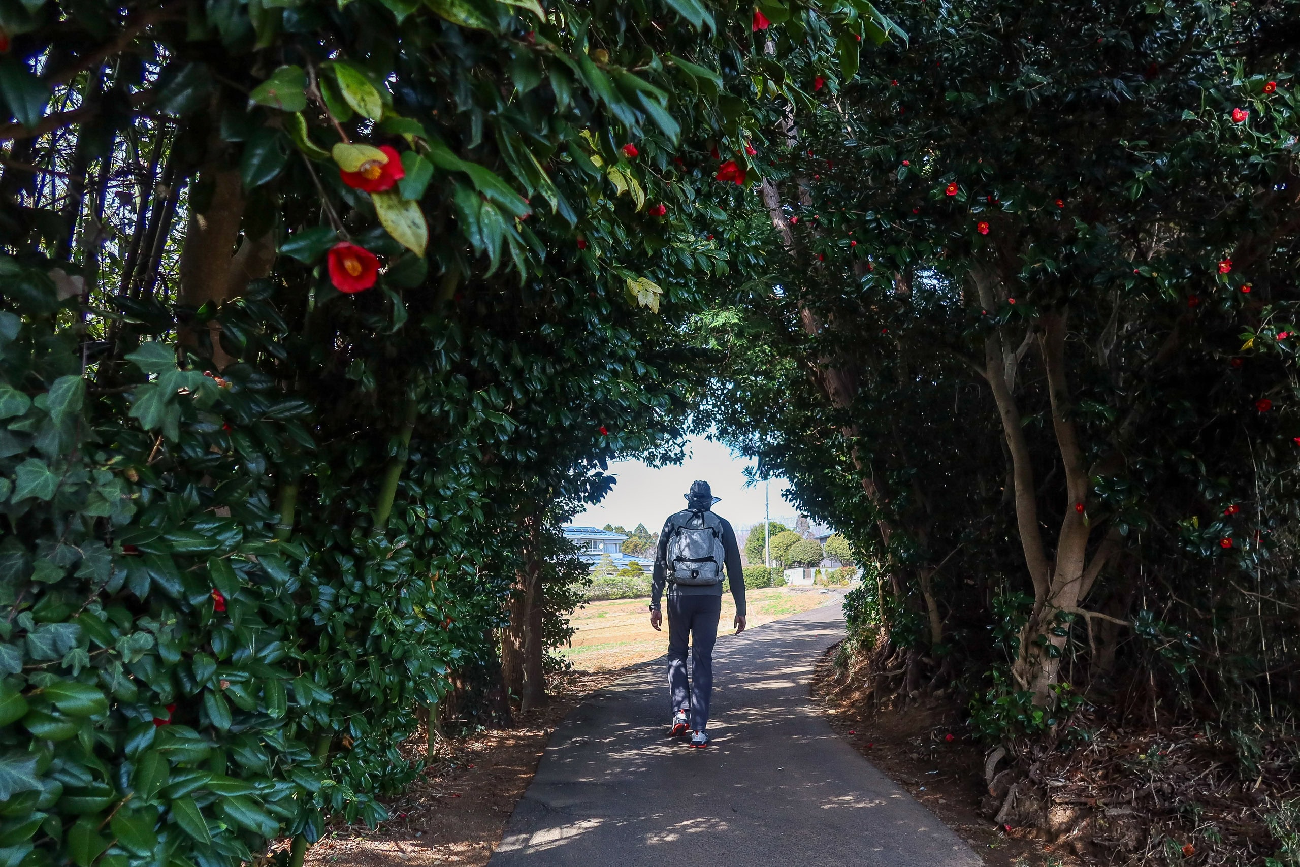
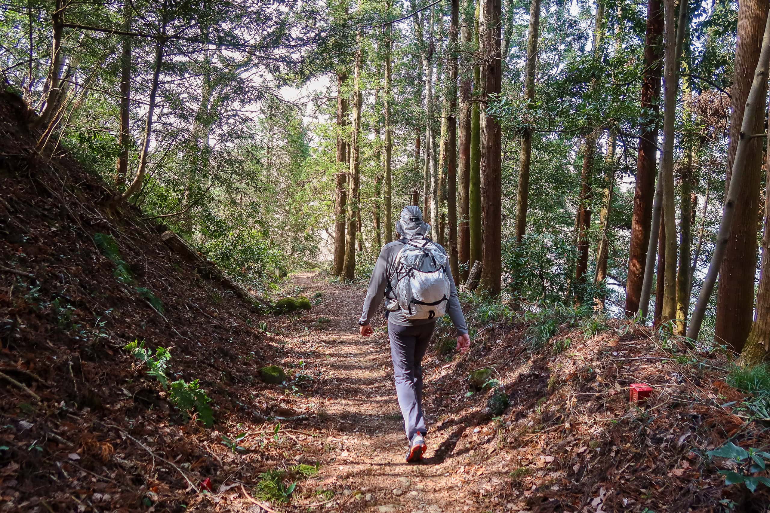
More than 90% of today’s route was asphalt. But with the beautiful spring weather, the steady stream of interesting spots, and the history lessons on every signboard—not to mention easy access to vending machines, food, and bathrooms—our walk felt light and enjoyable. A welcome change from the last two days of endless concrete.


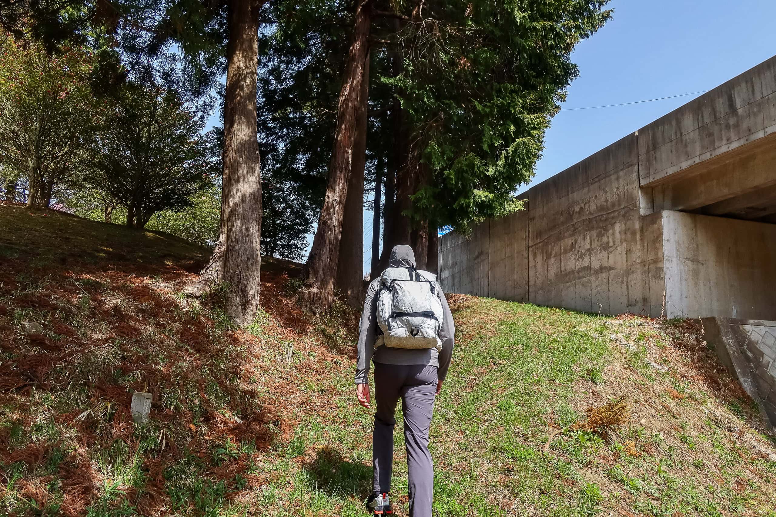
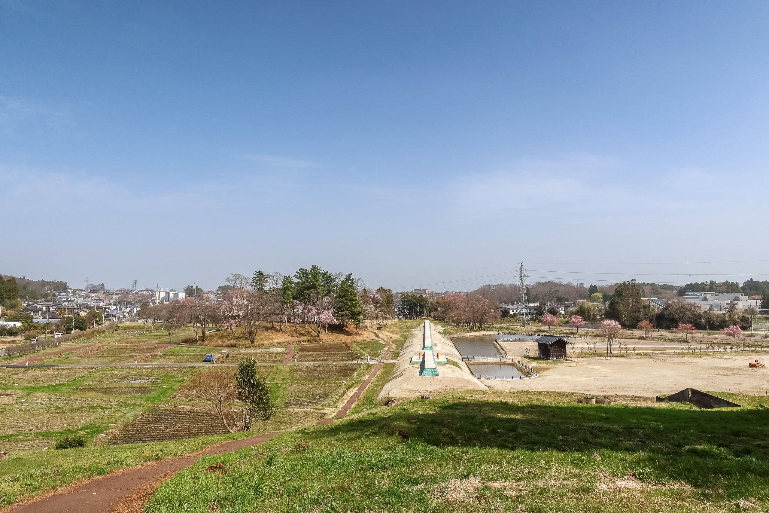
A short stretch dipped onto natural-surface path: first a farm road between vegetable fields, then a narrow trail through a grove. At Kase-numa 加瀬沼, a big pond where families lingered over the water, our narrow trail merged into a lakeside walking path and eventually led us to a small shrine.
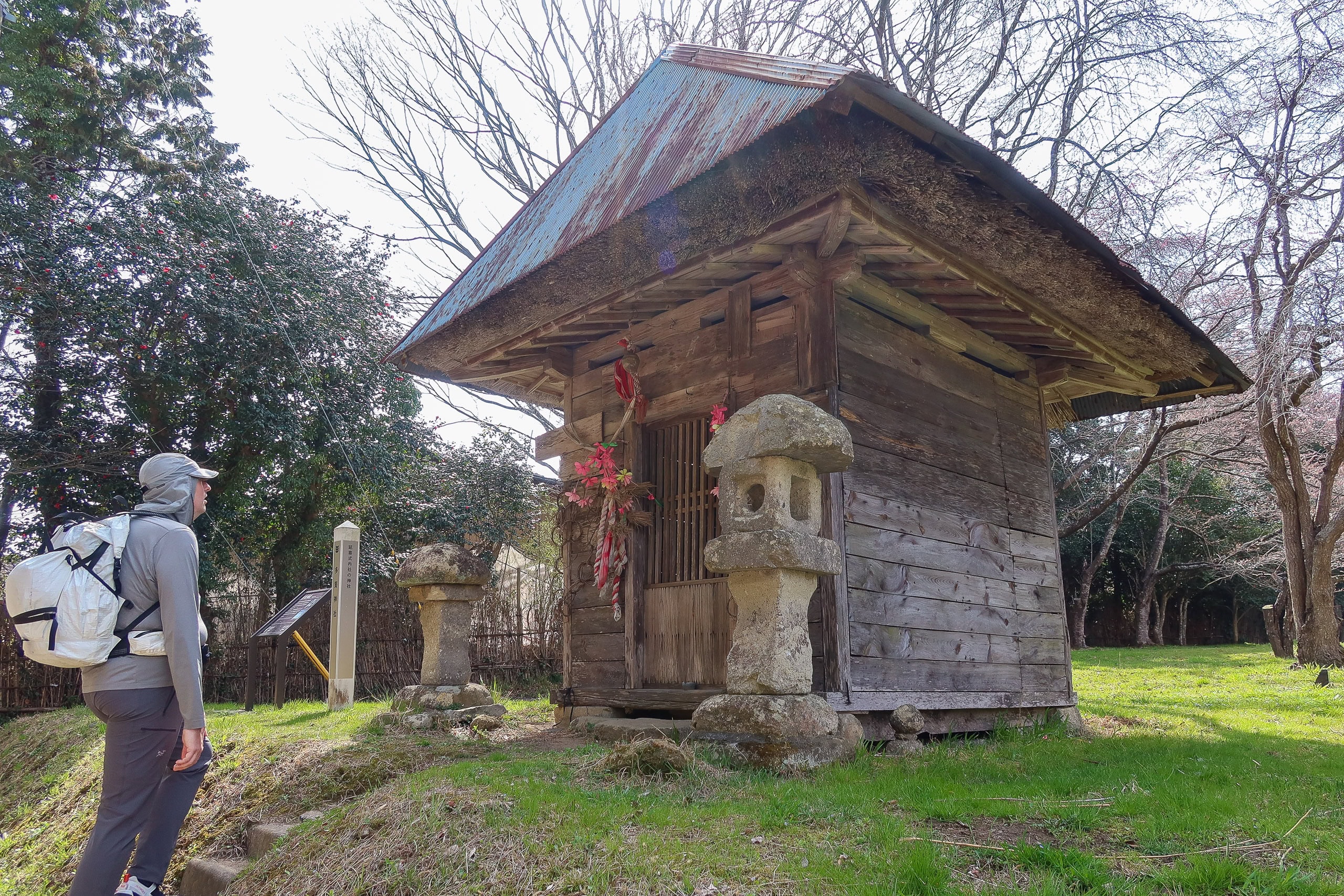


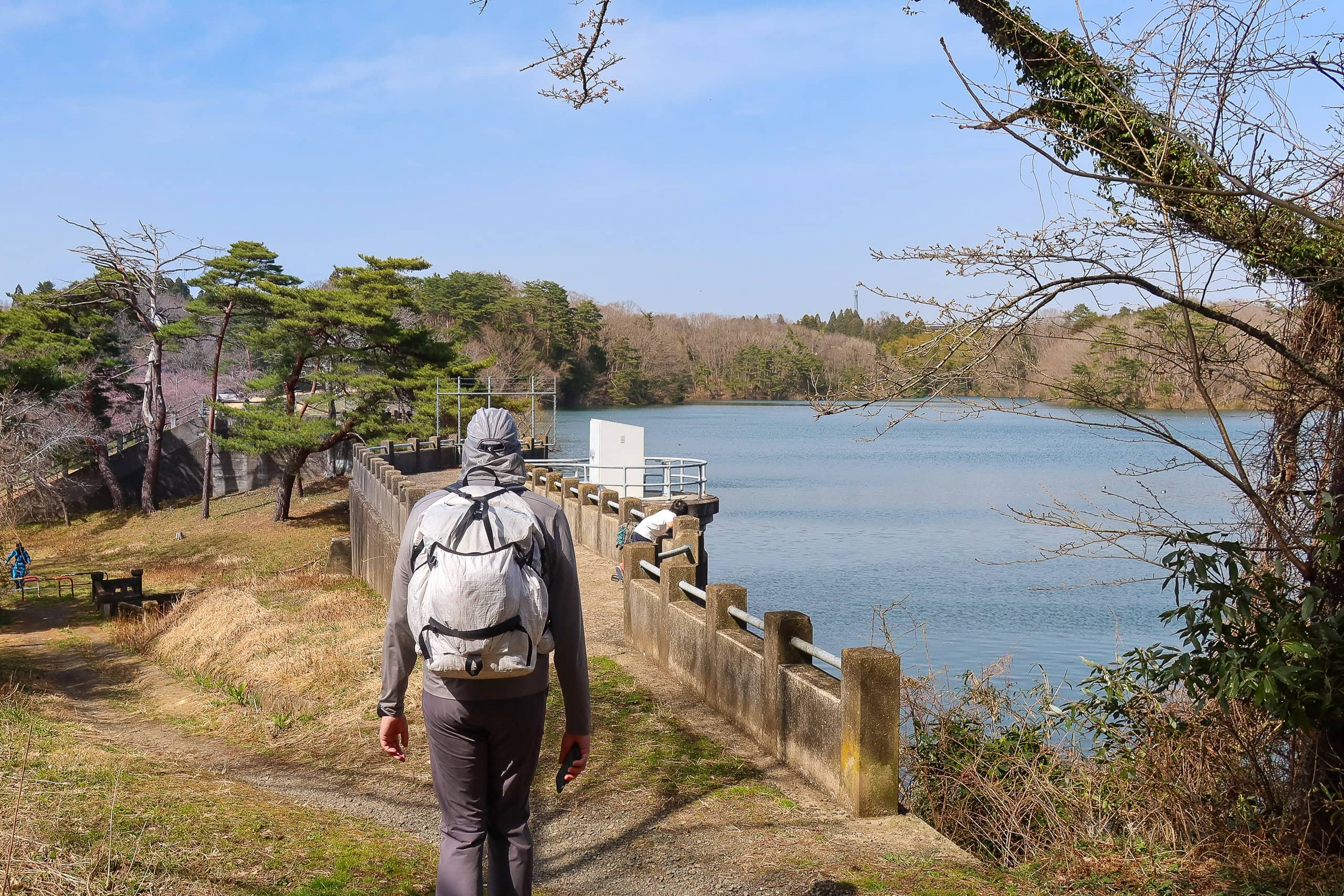


As usual, we didn’t realize it at the time, but the Kase-numa trail sits right on the municipal border. Without noticing, we had finished our walk through history-rich Tagajo and stepped into the next city: Shiogama 塩竈市.
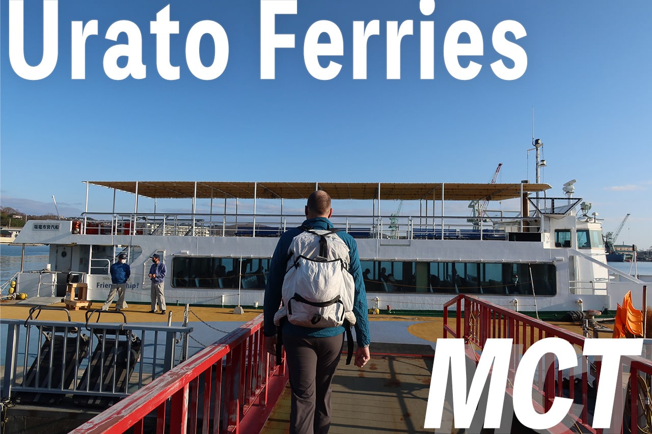
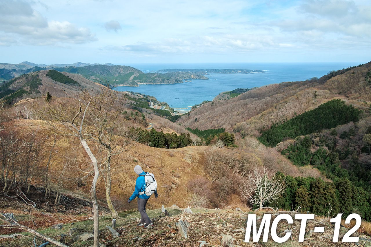
Shiogama is a port town, and the route began sloping down toward the bay. Our goal for the day was the ferry port, where we’d board a boat the next morning for the offshore islands.
Yes — the Michinoku Coastal Trail really does include walking through remote islands in the Pacific Ocean.


Shiogama Shrine
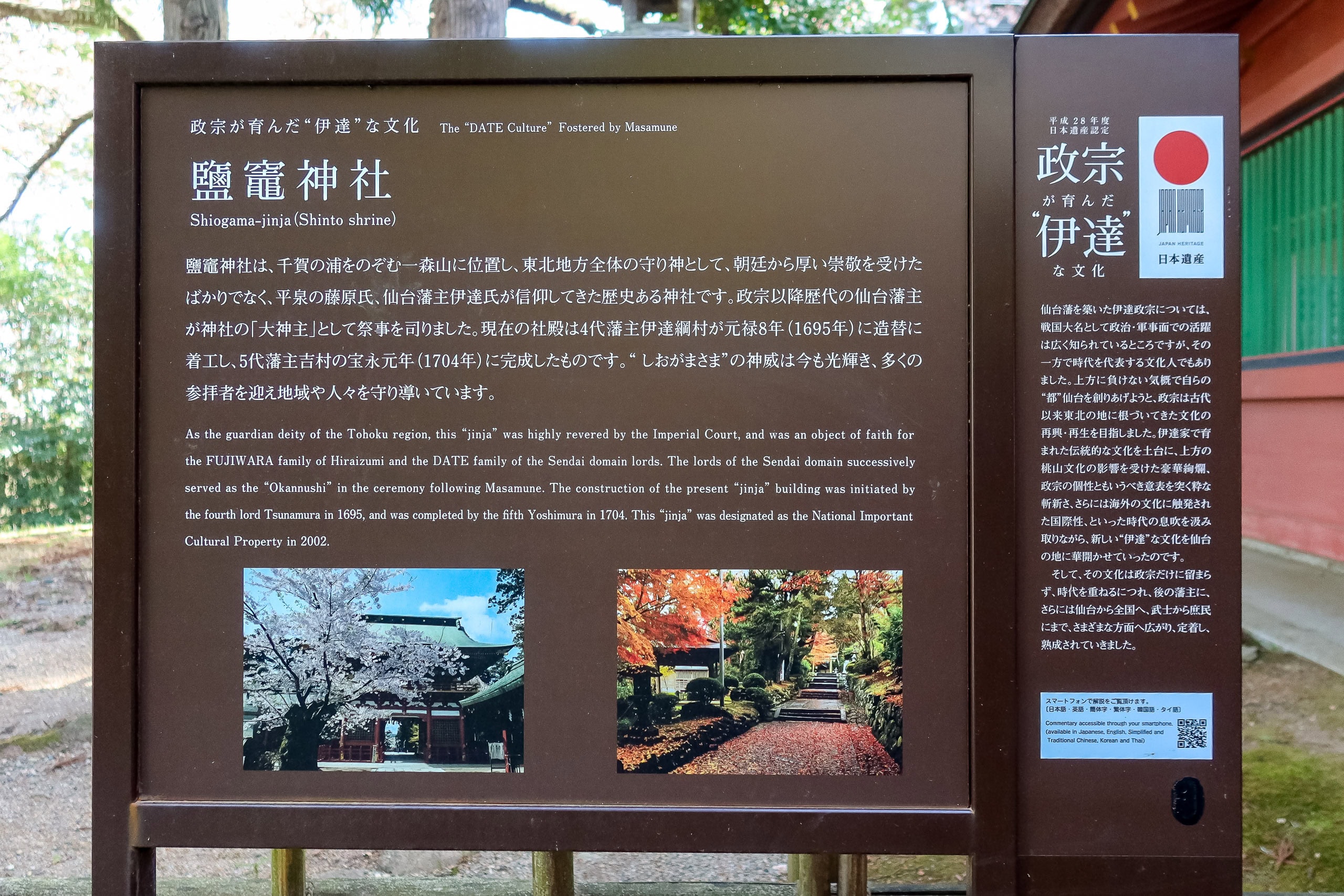
Just before reaching the downtown port area, the MCT map suddenly showed a sharp left turn — leading straight to Shiogama Jinja Shrine 鹽竈神社, the city’s most famous landmark.
Looking around, we realized the busy port town was encircled by small forested hills. Earlier in the day we’d learned that, centuries ago, the shoreline here was much farther inland. That meant the current downtown area was once underwater, and these hills were once islands or cliffs along the ancient coast.
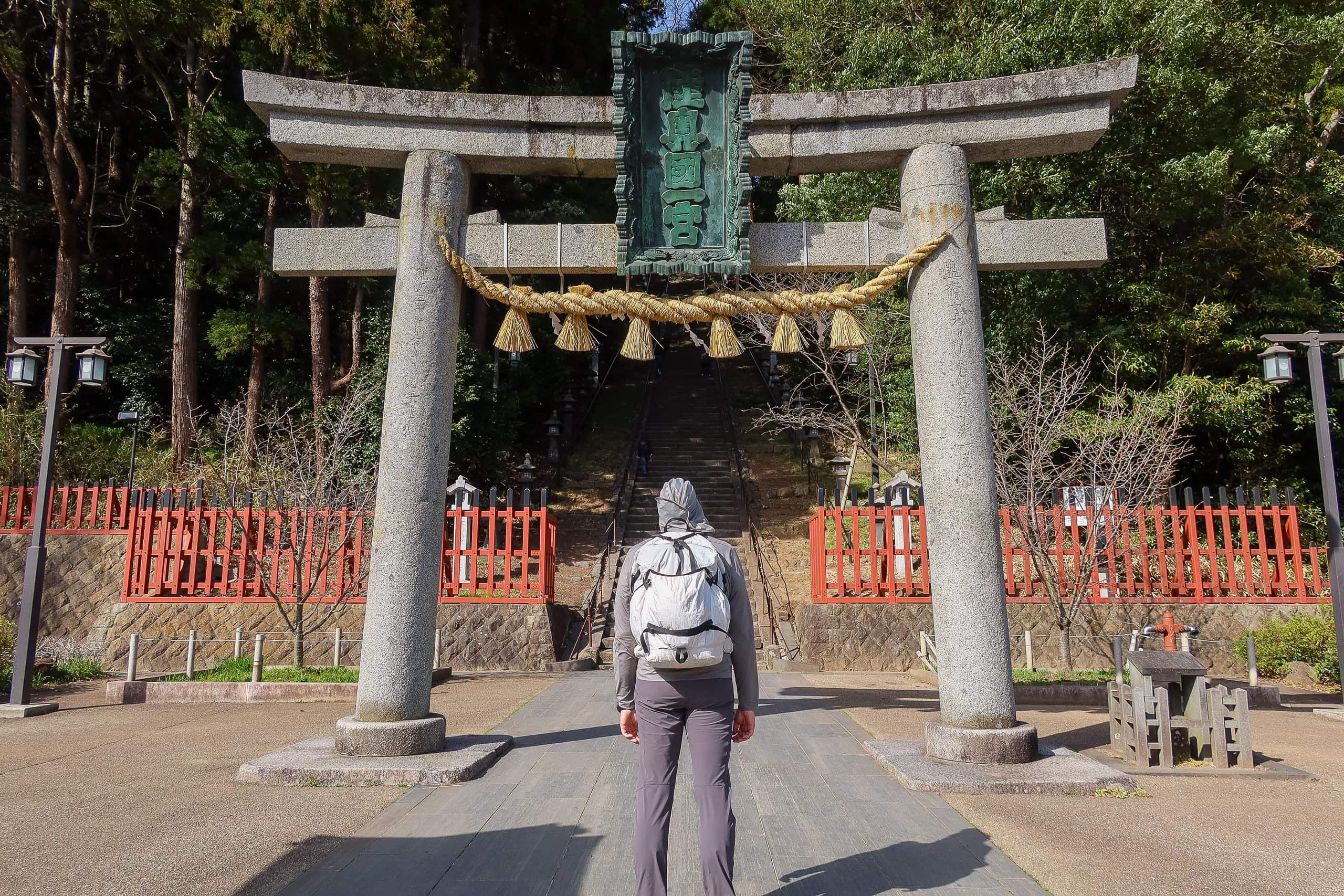
I tried to sound scholarly when I said this to Erik, but in truth, I was just trying to prepare myself for the shock in front of us: a towering stone torii gate, marking the entrance to the shrine — and behind it, a wall of stairs.
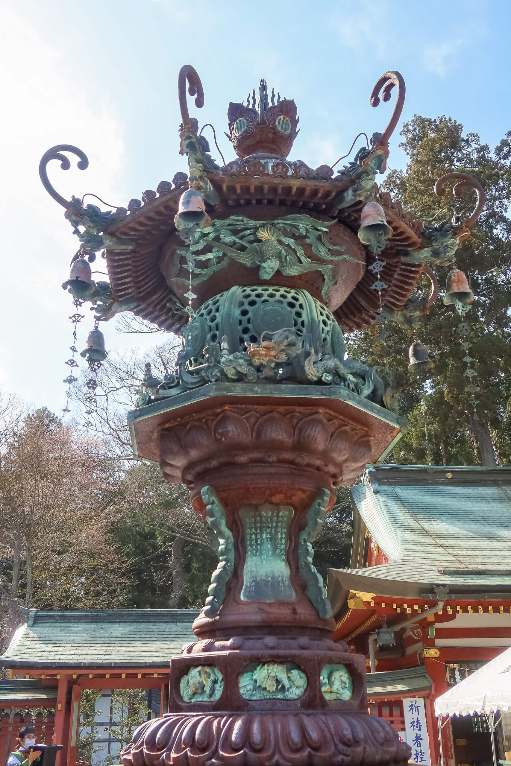
The main shrine of Shiogama sits atop the highest hill in the area, hidden among thick trees. We couldn’t see the buildings yet; what we could see were several steep, endless flights of stone steps climbing almost vertically toward the sky.
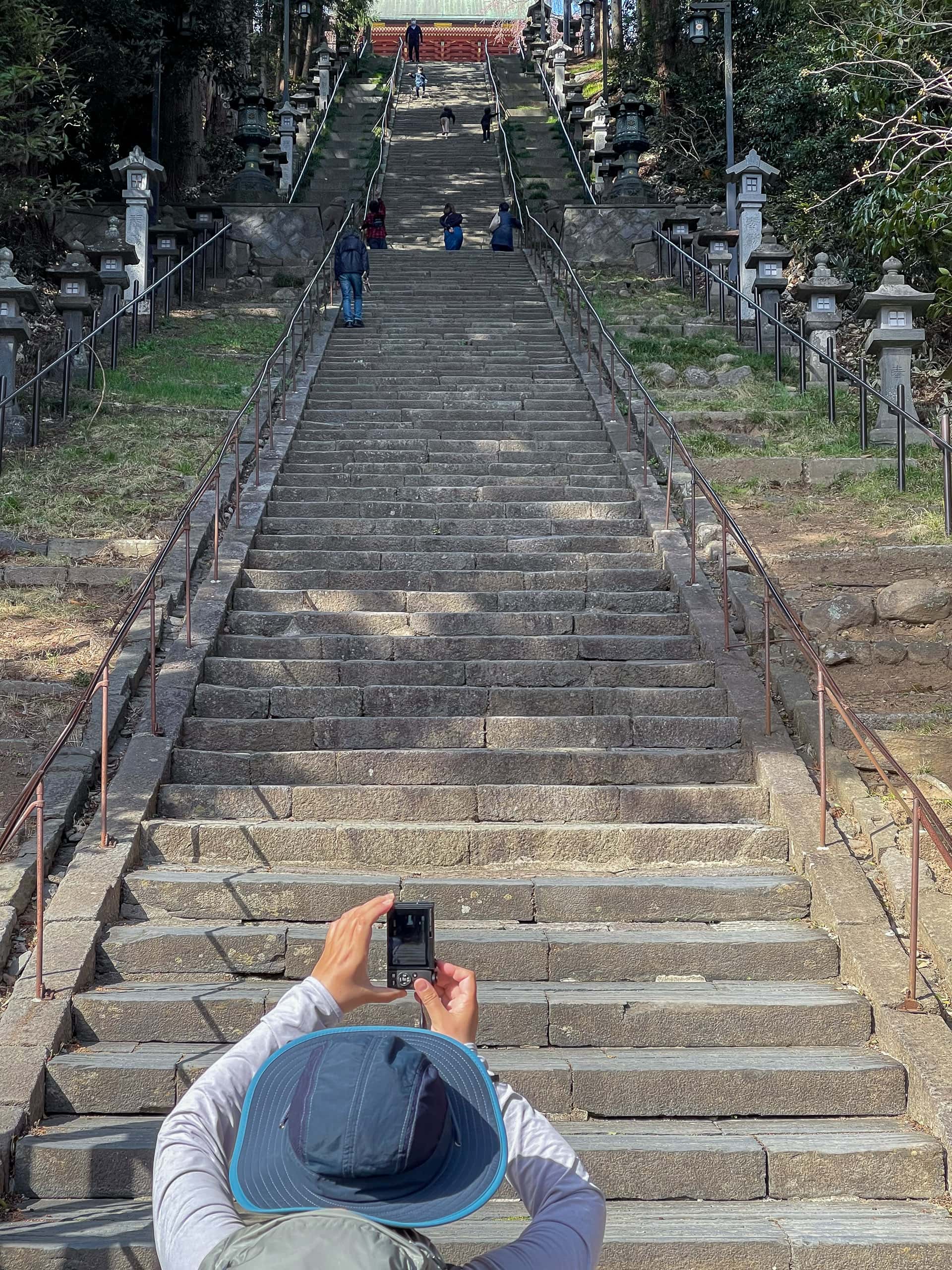


The psychological damage from that view was real. Some visitors were literally pulling themselves up by the railings. Others, on the way down, clung to the metal bars, taking each step as if their lives depended on it.
This is not what you want to face at the end of a long walking day — especially when you’ve already convinced yourself the hotel must be just minutes away.

Erik, of course, bounded up the stairs like a mountain goat. I took much longer, clinging to the railings and muttering complaints, but eventually, I made it to the top.
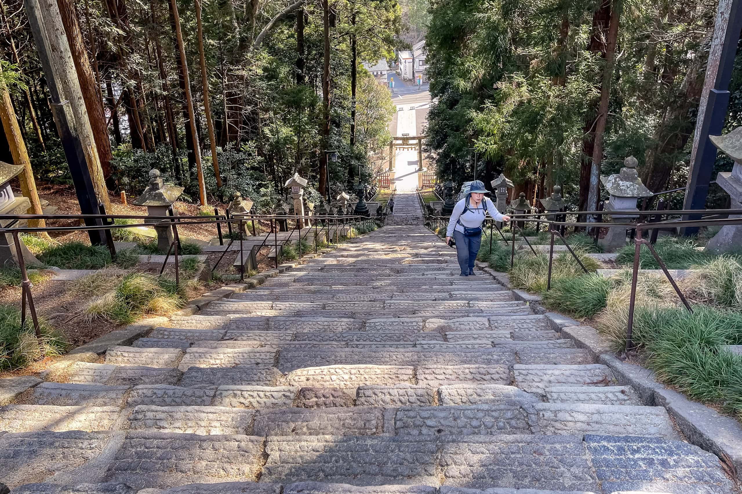
The reward was worth every step. The shrine complex was magnificent: bright vermilion halls glowing under a deep blue sky, framed by dozens of blooming cherry trees. From the garden’s edge, the view over the bay and port was breathtaking.


If we’d arrived earlier, we would have sat at the café near the garden for tea and traditional sweets. But the day was already fading, and we needed to reach our hotel early to prepare for tomorrow’s island hike.
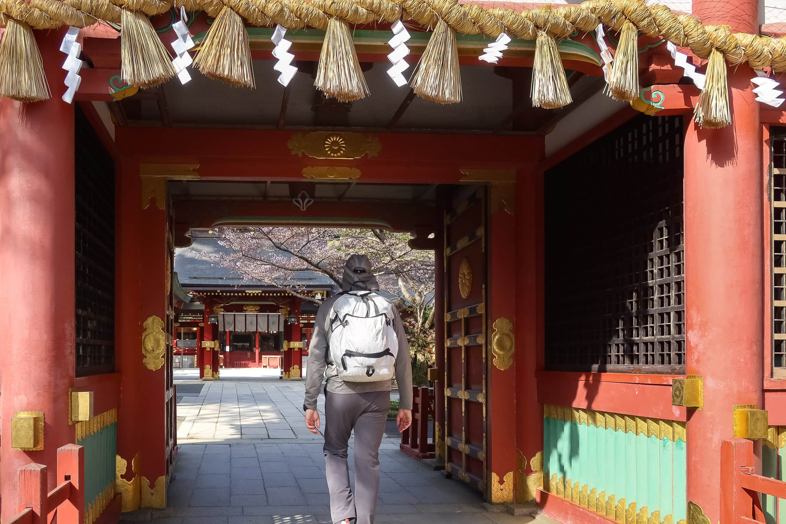
Shiogama Shrine is one of the few places where the MCT route actually passes through a historic site instead of simply skirting by. Usually, hikers must decide whether to take short side trips to see local landmarks or skip them to save time. Here, the route itself leads right through sacred ground — an unexpected gift for those willing to climb.
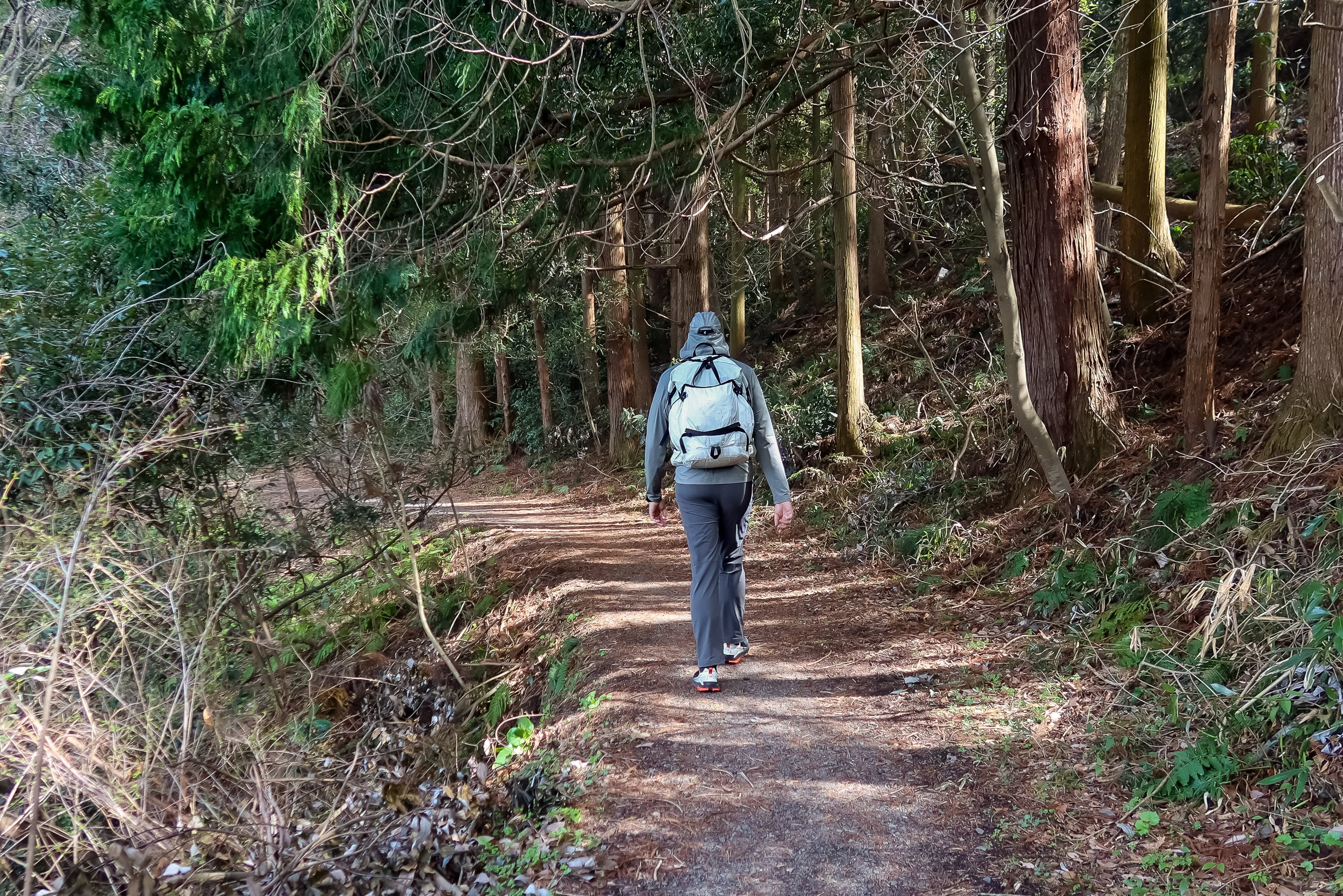
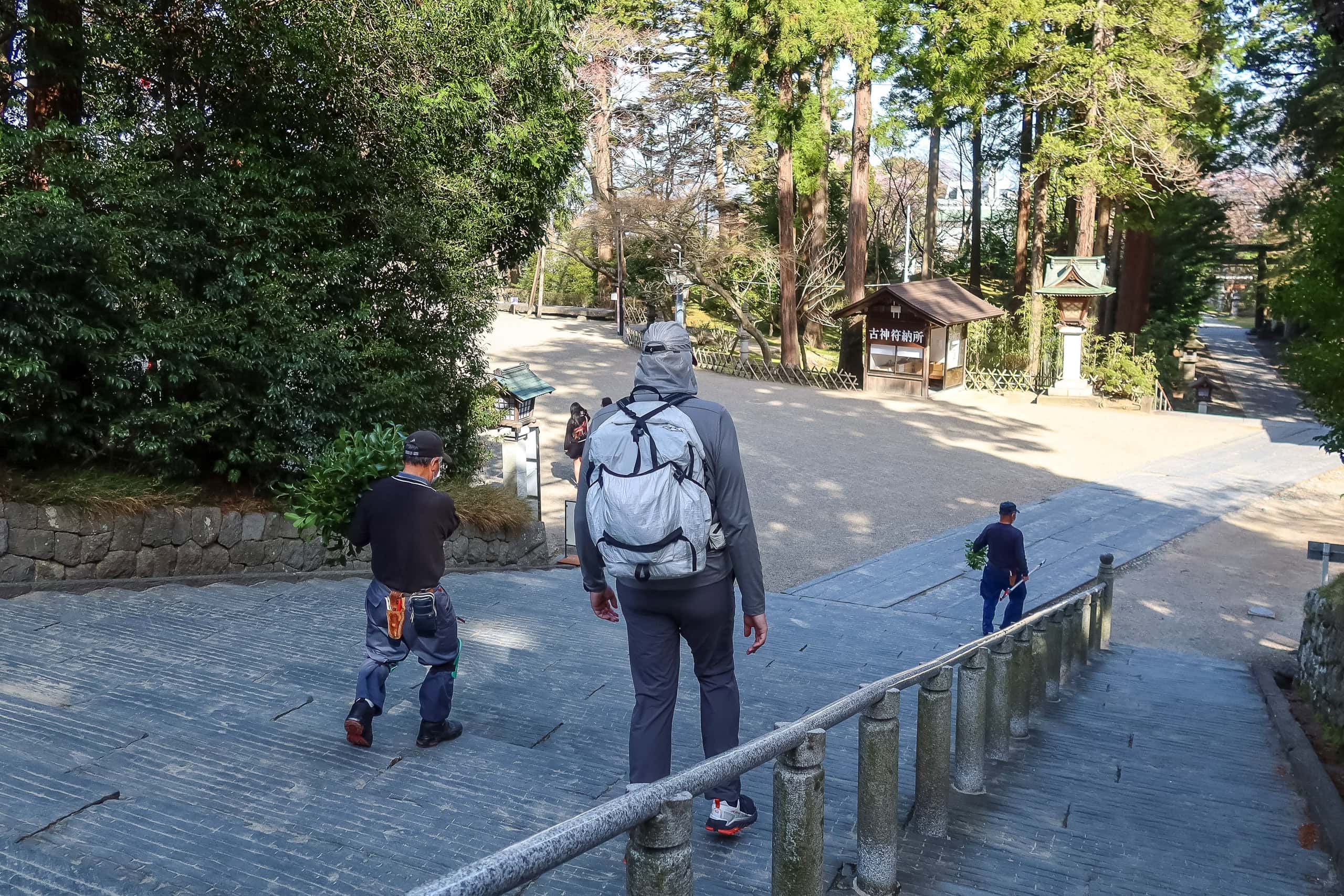
We descended a gentler flight of stone stairs through a quiet gate on the far side and rejoined the same road we’d followed earlier.
If you’re pressed for time, you could technically skip the shrine and keep walking straight toward the port. But if it’s only the steep steps that scare you, take my advice — go for it. The sweat will be worth it.


Preparing for the Islands at Shiogama Port
We made it to our hotel before 4 p.m. After a quick check-in and dropping off our backpacks, we headed to the ferry terminal, Marin Gate Shiogama マリンゲート塩釜, to figure out ticketing for tomorrow’s island-hopping.


Tomorrow we’ll be walking across three small remote islands and ending the day on a fourth. The last one is so close to the mainland that it’s connected by a regular bridge—it almost feels like part of the peninsula.
Ferry tickets can be bought directly from vending machines inside the terminal—no reservation needed. The terminal itself is small and simple, so we should have no problem catching the first ferry at 7:15 a.m.

On our way back to the hotel, we stopped by a small shopping mall and had dinner at Saizeriya, a casual pasta-and-pizza chain. Nearby, a convenience store and a drugstore made it easy to stock up on lightweight food for tomorrow’s breakfast and lunch—there would be no cafés or restaurants on the islands.
Our hotel, Grand Palace Shiogama, looked a bit dated from the outside, but the rooms were newly renovated and comfortable.
At the time of our stay, there were no washing machines, which wasn’t a big deal since we still had clean clothes. Shortly afterward, however, the hotel added coin laundry facilities—great news for future MCT hikers.
It had been an easy and enjoyable day. Even with the brutally steep shrine stairs, my feet felt fine—and that alone felt like a small victory.


MCT – Day 6
| Start | Sendai Port |
| Distance | 13.8km |
| Elevation Gain/Loss | 141m/139m |
| Finish | Marin Gate Shiogama |
| Time | 5h 18m |
| Highest/Lowest Altitude | 57m/ 2m |
Route Data
The Michinoku Coastal Trail Thru-hike : Late March – Mid-May 2021
- The first and most reliable information source about MCT is the official website
- For updates on detours, route changes, and trail closures on the MCT route
- Get the MCT Official Hiking Map Books
- Download the route GPS data provided by MCT Trail Club
- MCT hiking challengers/alumni registration
Comments