Recharged by Aeon Mall and a Midnight Massage
Route Inn Hotel Natori ルートインホテル名取, where we stayed last night, is only two stations from Sendai International Airport 仙台国際空港. The airport area oddly lacks places to stay, but the handy airport line makes it easy to reach downtown Natori and the bustle of Sendai, the prefectural capital.
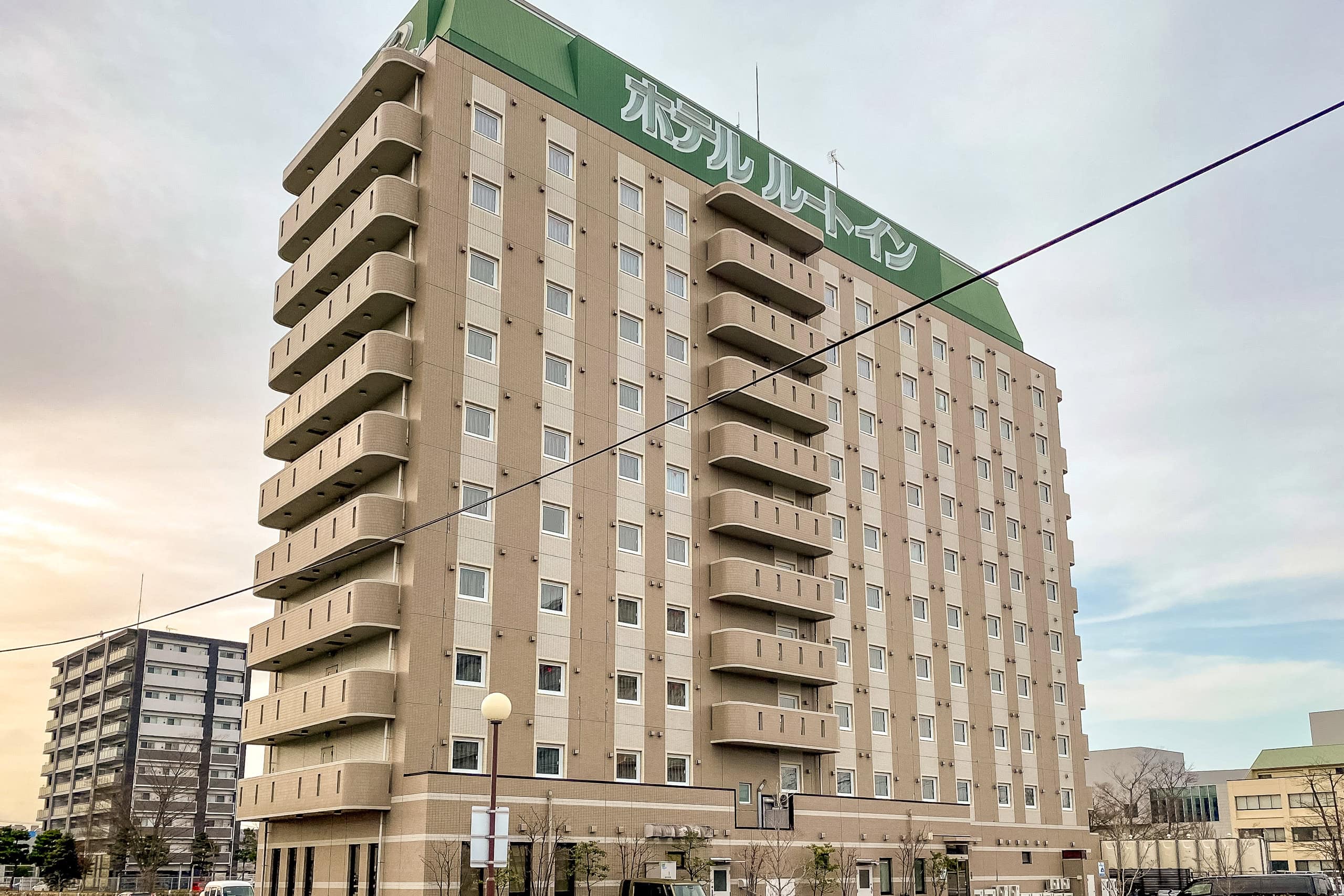

Our hotel sat one block from Morisekinoshita Station, which connects directly to a very large Aeon mall. Aeon may be the cookie-cutter face of Japan’s shopping centers, but there’s comfort in that familiarity: you can assume almost anything you need is there. This one in Natori looked like the biggest Aeon we’d ever seen.
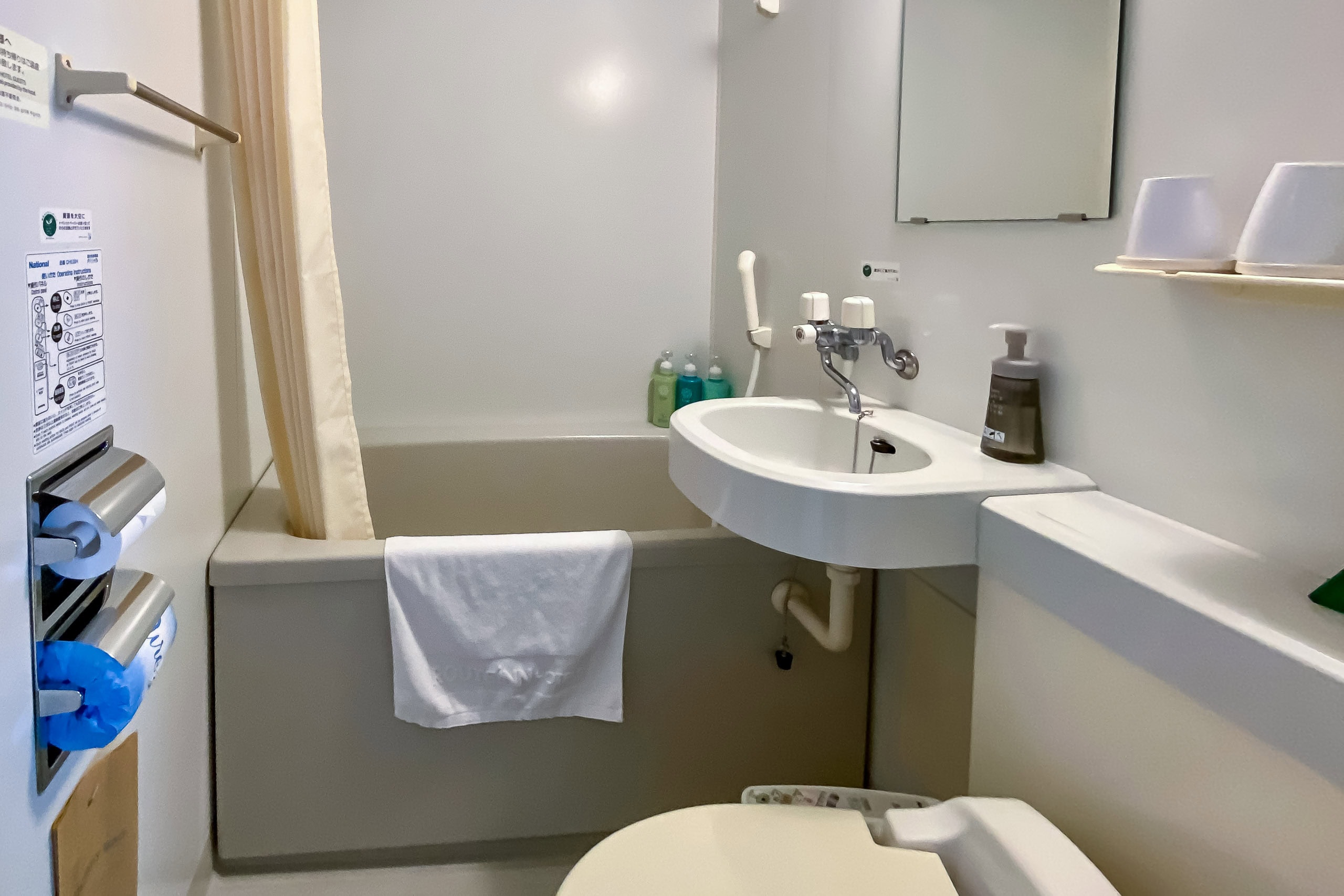
Even after dinner and a long soak in the hotel’s big public bath, my feet were still sore from all the sun-baked concrete.
Many Japanese business hotels leave a massage flyer in the room, and sure enough there was one on our desk. Temptation: irresistible. I called the front desk to check availability; to my surprise, the masseur arrived in under ten minutes. Since our room only had a double bed, he set up on the right side and gave me a thorough foot massage, while Erik reclined against the headboard on the left side, catching up on his IT work.
I asked how he managed to arrive so quickly. He laughed and said he usually waits in his car in this area at night, ready whenever business hotels call.
Back to Sendai Airport
“What the heck is this sky?”
This morning, the world outside our window looked strangely white. Not just cloudy — white — as if the air itself had been painted over. A thick fog hung everywhere, the complete opposite of yesterday’s vivid blue.
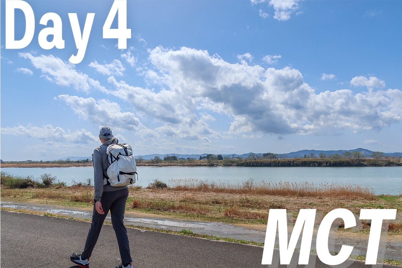
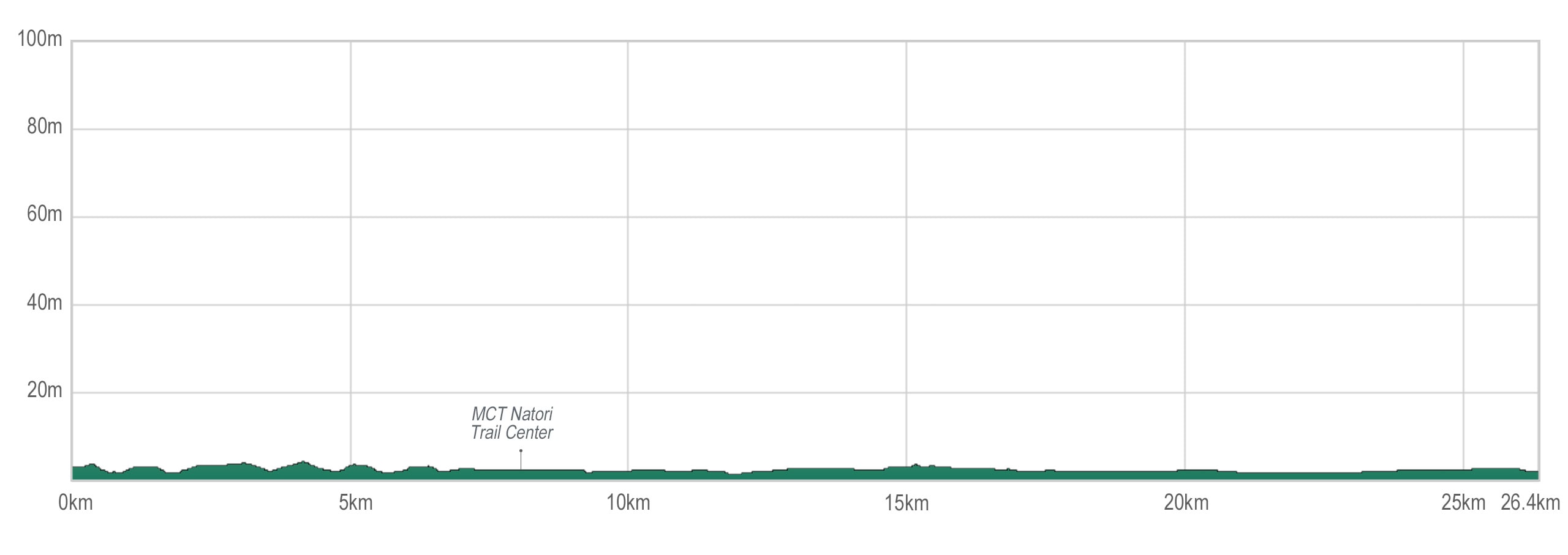
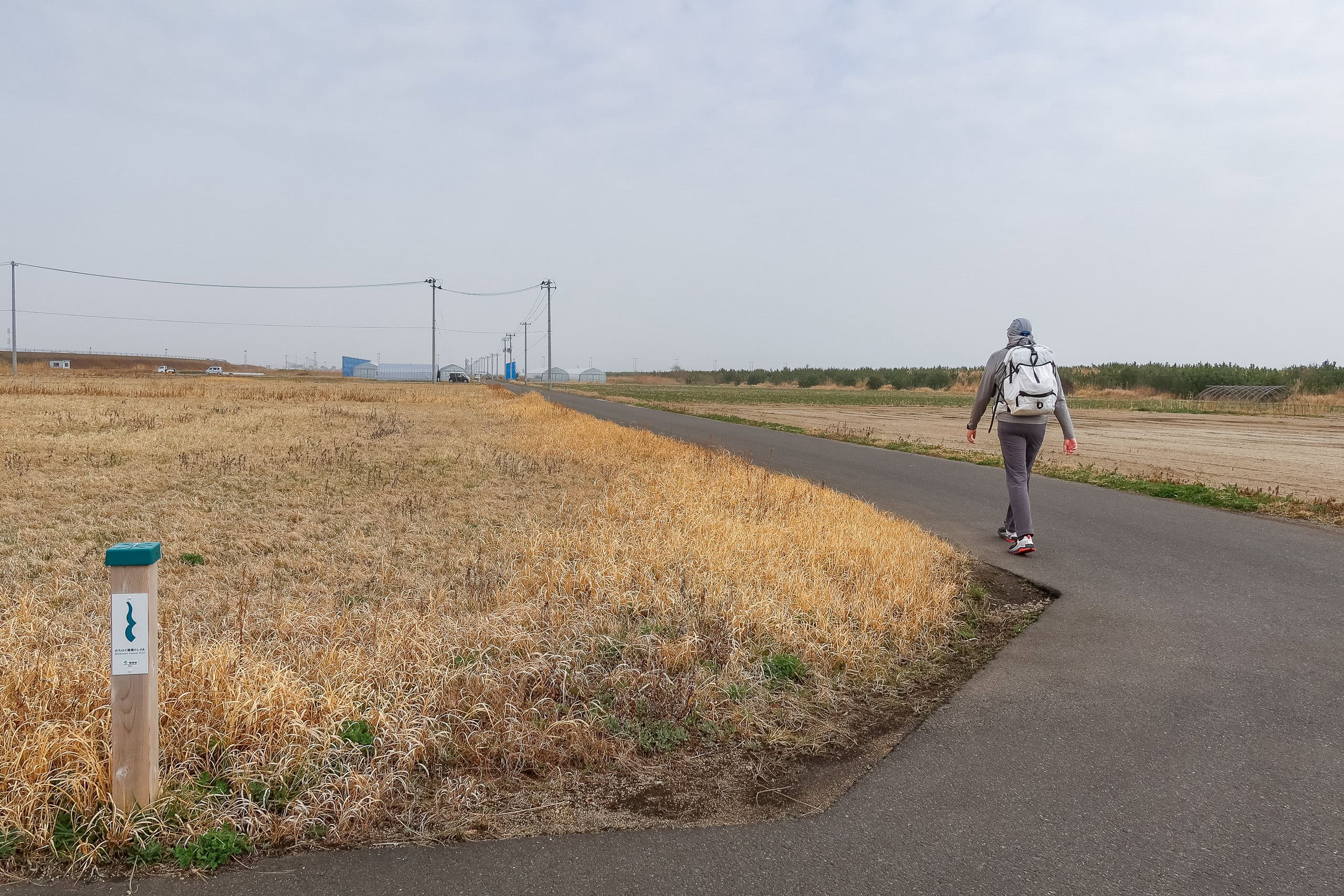
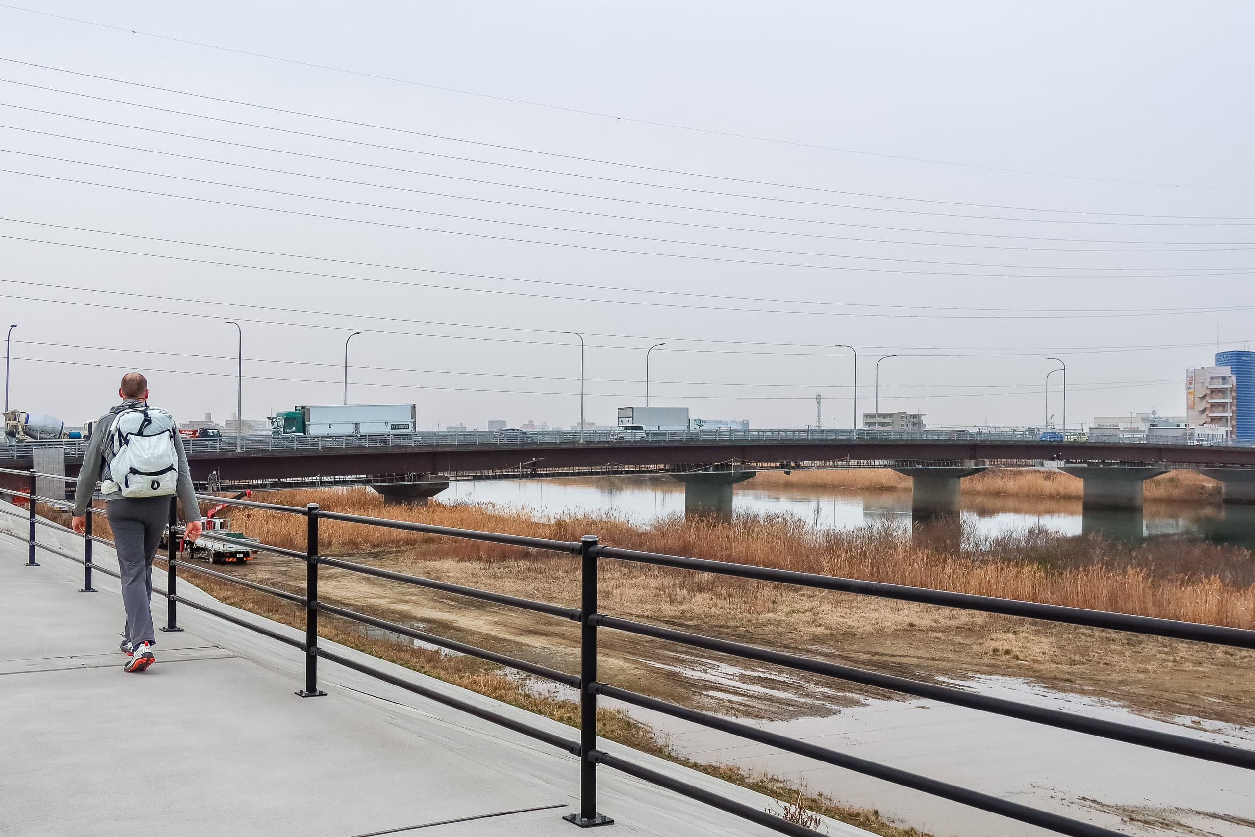
The air felt cooler, though, which might not be a bad thing. We expected today’s section of the MCT to be another long, flat walk along the coastline, completely exposed all day.
Since Route Inn Hotel Natori offers a free shuttle to the airport, we happily took advantage of it instead of the train—saving time, money, and precious energy for the long walk ahead.
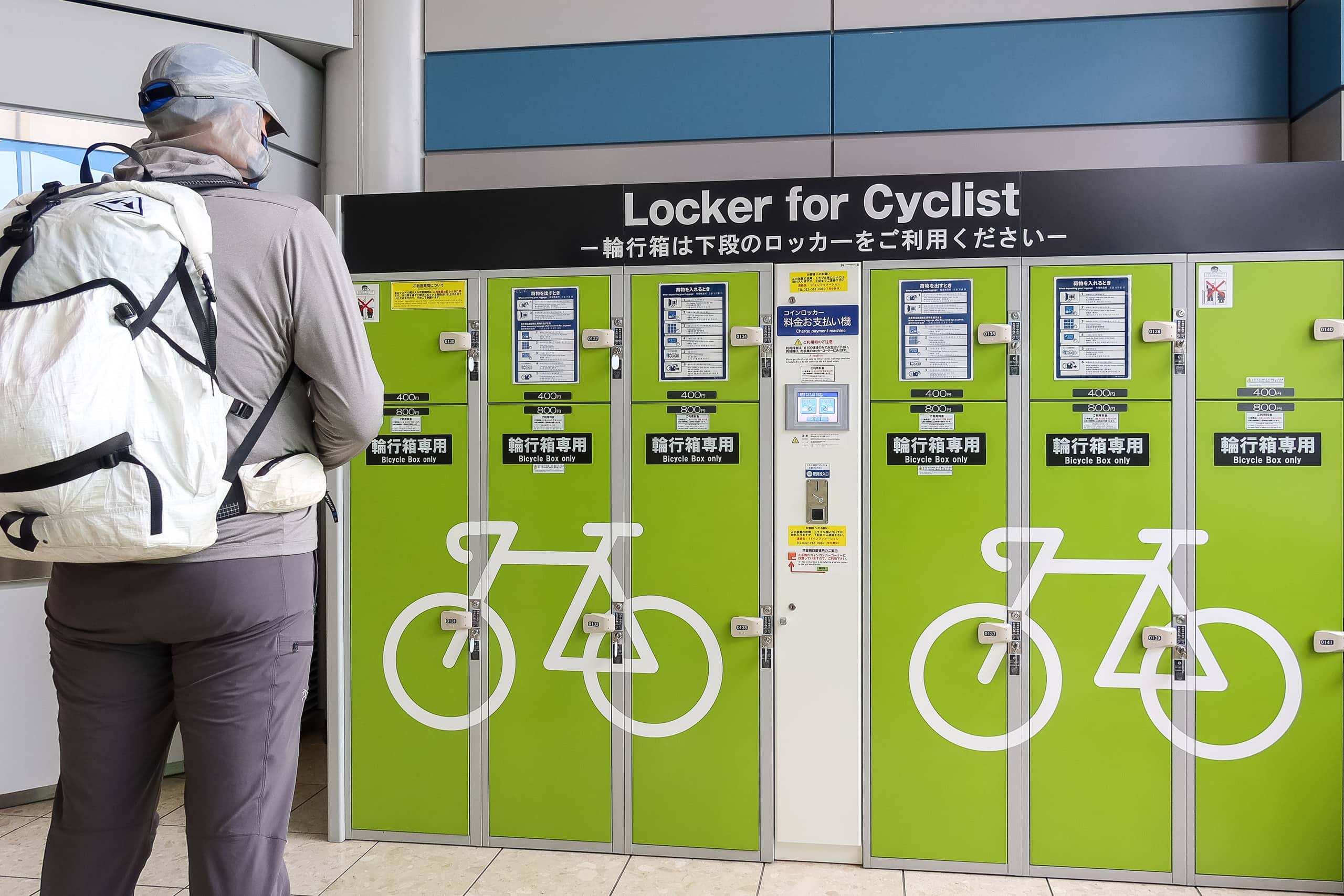
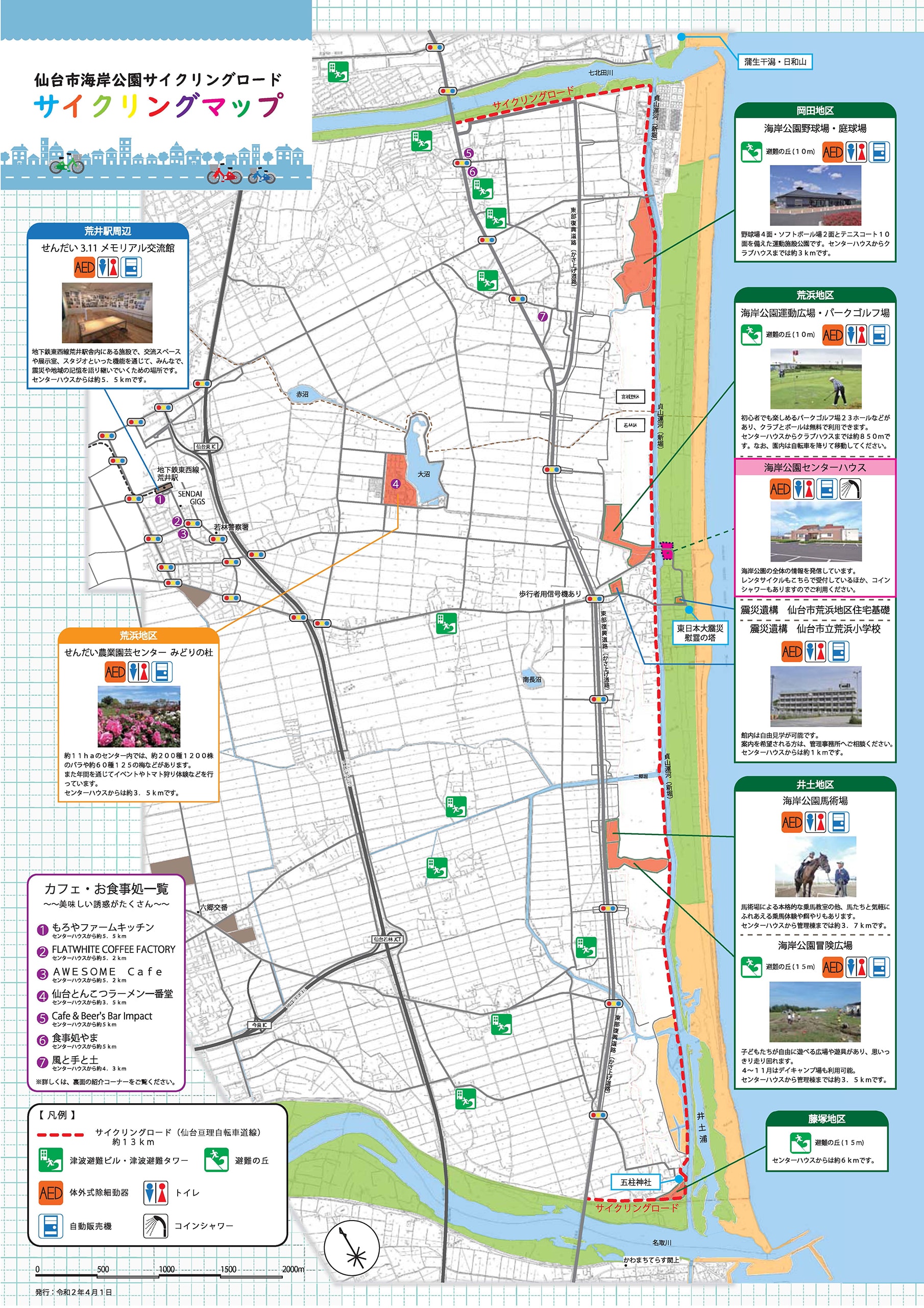
At the airport, we went inside to grab breakfast and hiking snacks at the convenience store — and, of course, to enjoy the shining clean bathrooms. This part of Miyagi Prefecture clearly takes pride in welcoming cyclists and bikepackers. In the past few days, we’d walked plenty of well-maintained bike roads and seen countless bike racks. Today’s MCT route, as luck would have it, would once again follow a very long bike road.
Inside the airport, we even spotted special coin lockers labeled “Lockers for Cyclists,” designed for storing bike bags and boxes.
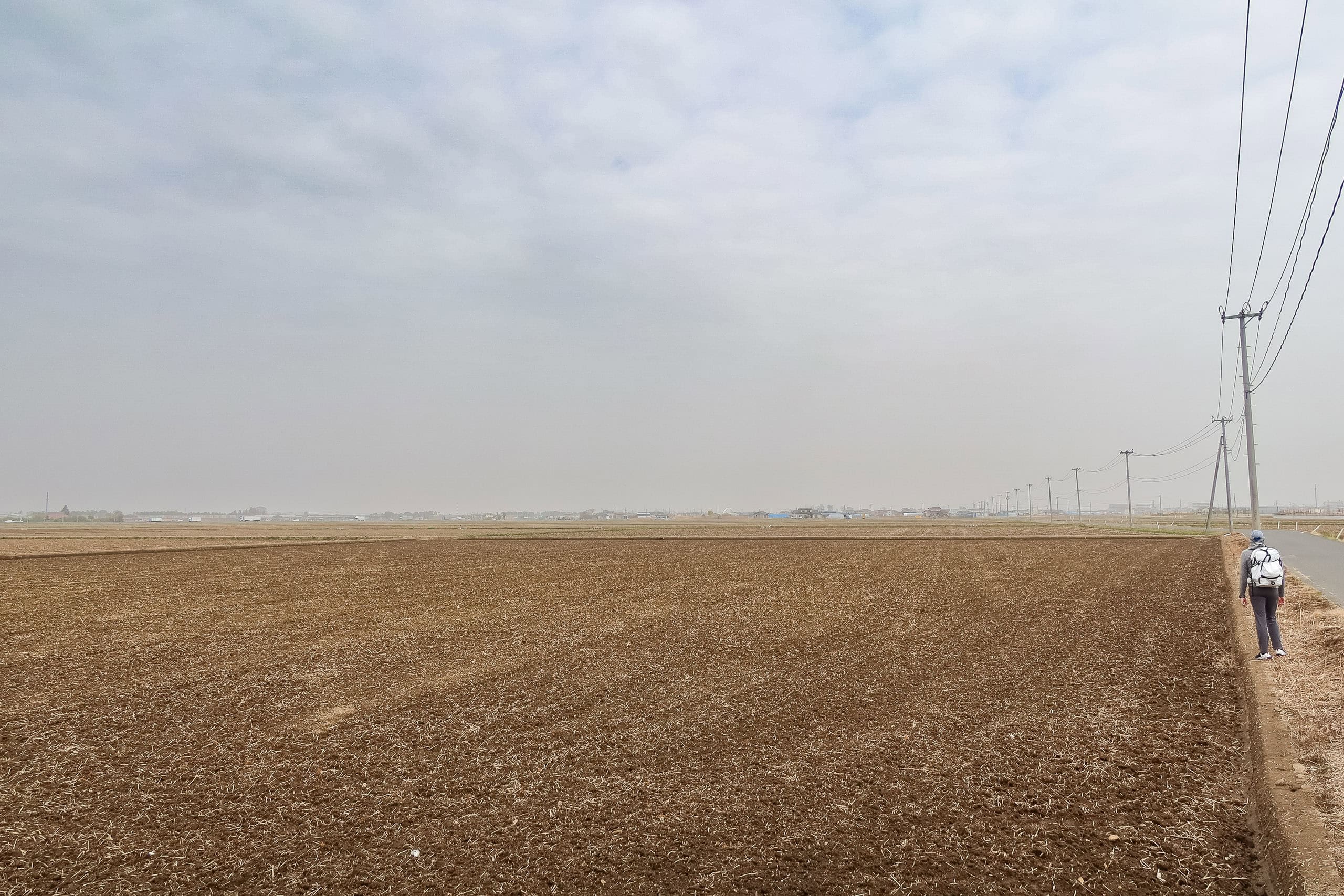
Leaving the airport behind, we stepped out into the open again—grass fields and wide emptiness. Soon a few new greenhouses appeared, growing leafy vegetables. Then the landscape turned to freshly plowed brown fields, probably waiting for rice planting season.
At this point, I was running out of words to describe it — the endless walking through nothingness these past few days. Even my will to find a positive spin was fading.
Of course, it would all look different in early summer, when the fields turn to a sea of green, or in autumn, when golden rice waves in the wind. But every beautiful season has a price: sunlight and heat. Which is worse —boredom with comfort, or beauty with burning?
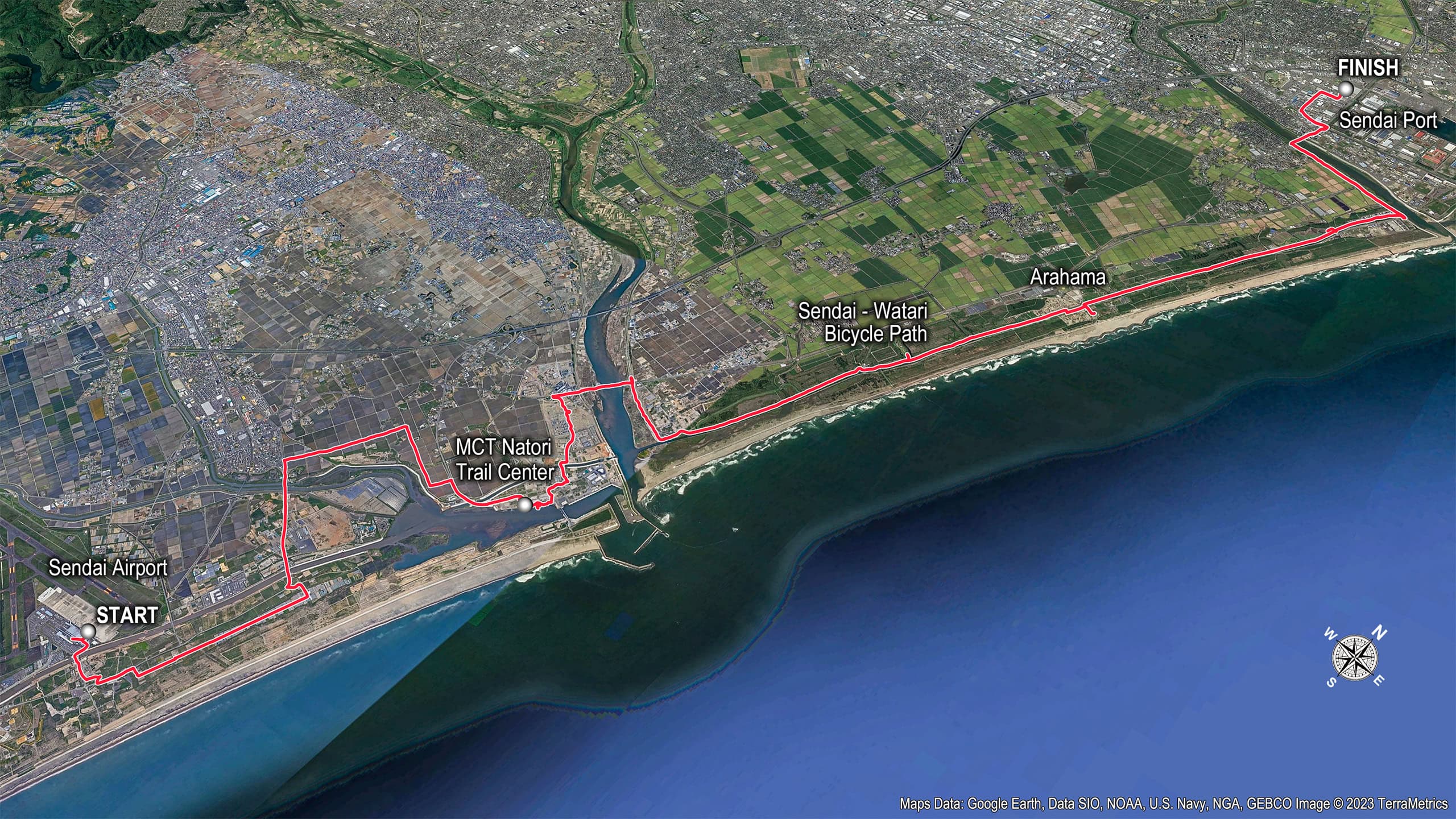
MCT Natori Trail Center
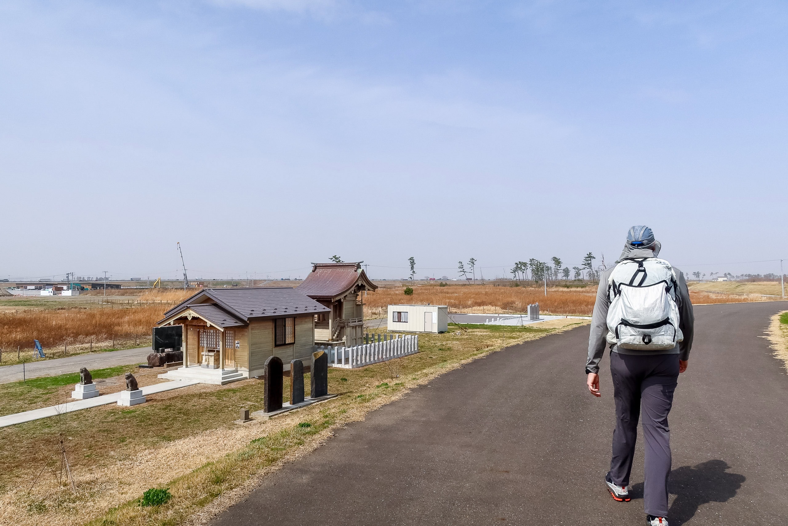
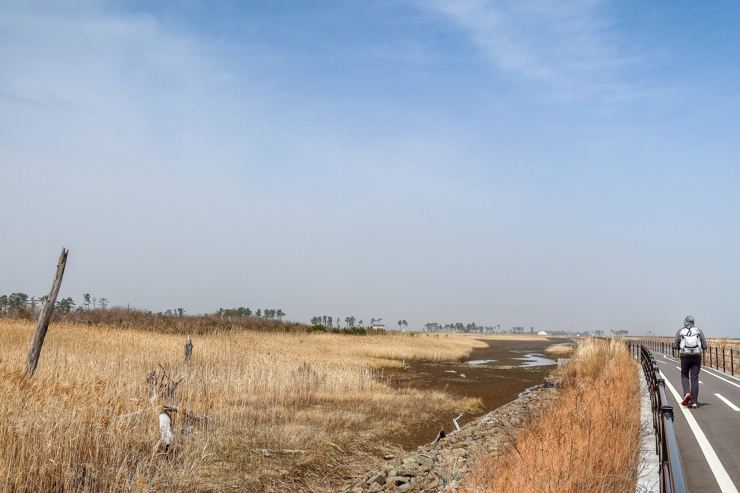
After about two hours of walking, we crossed the historic Teizan Canal 貞山運河, which connects the Natori River 名取川 with Hiroura Bay 広浦. Just beyond it, a few hundred meters ahead, stood the flat, modern building of the MCT Natori Trail Center みちのく潮風トレイル名取トレイルセンター.
We already knew the Trail Center closes every Tuesday—and, unfortunately, today was Tuesday.
To make things worse, I had just received a newsletter announcing a temporary closure from March 31 to April 11, following Miyagi Prefecture’s independent state of emergency for COVID. During this period, all public facilities—libraries, community halls, and the MCT trail centers—were required to close. The Michinoku Coastal Trail is part of Japan’s long-distance nature trail network managed by the Ministry of the Environment, so the Natori Trail Center and its regional branches are officially public facilities.
This double punch meant it was impossible for us to visit, even if we tried to adjust our itinerary for the next few days while still nearby.
Maybe we could come back after finishing the thru-hike at the northern terminus.
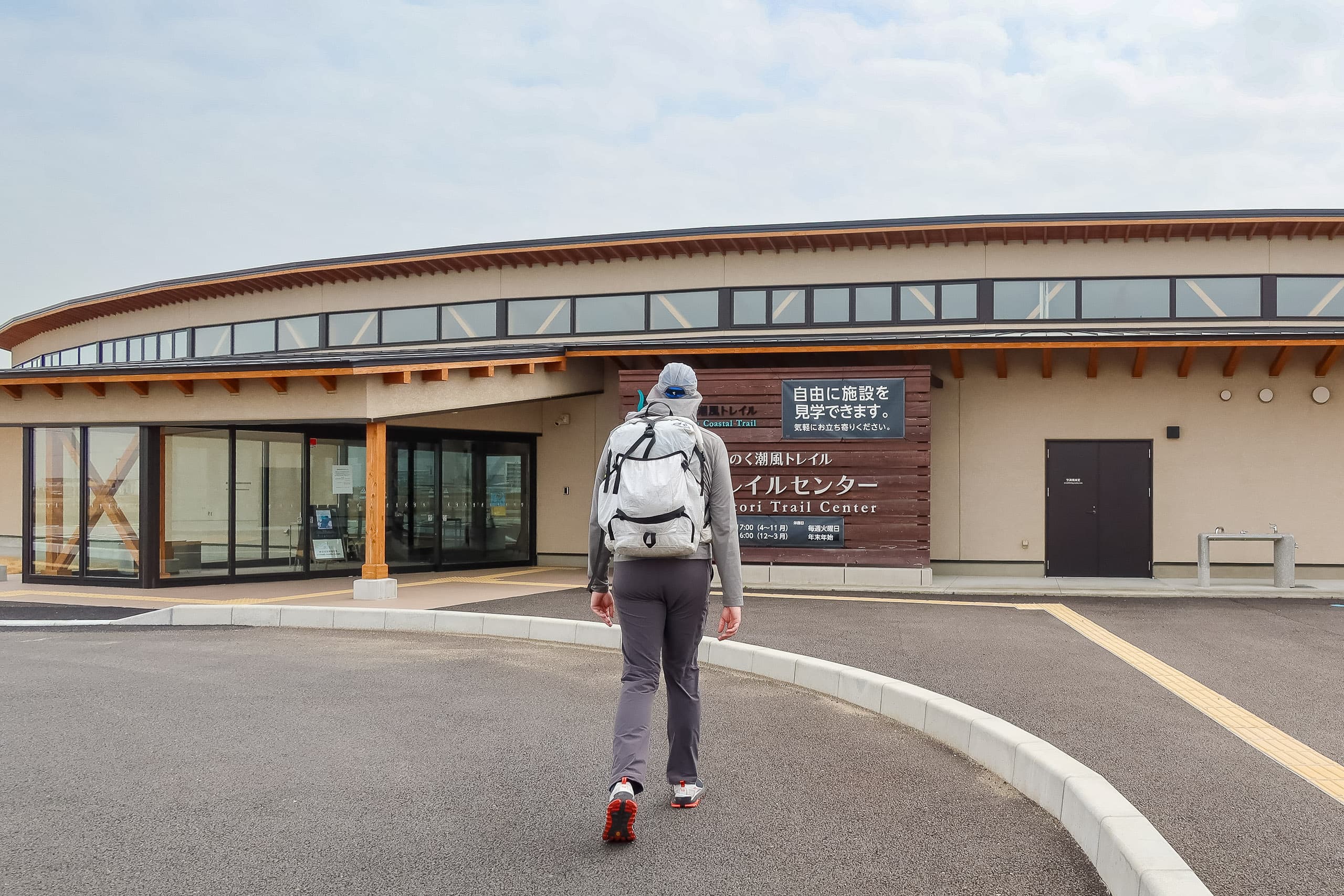
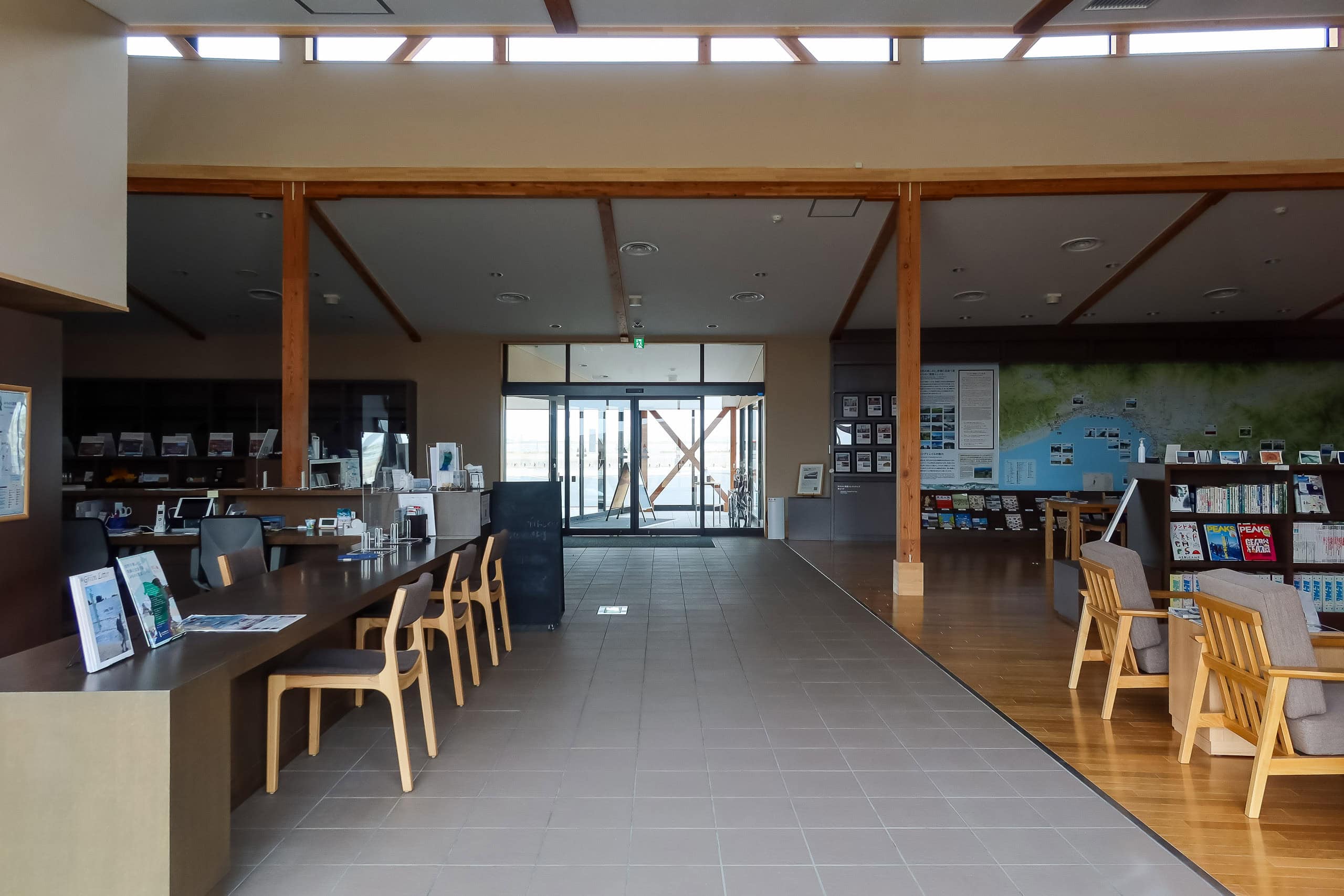
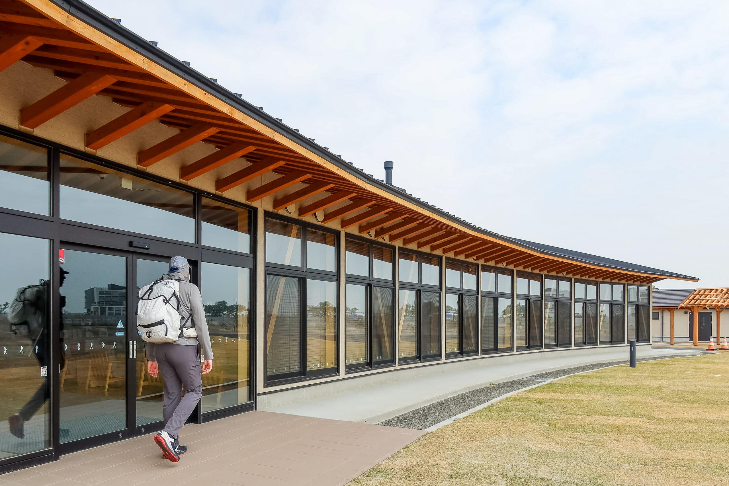
We couldn’t go inside, of course, but we looked around the outside of the building. Its wide lawn looked perfect for camping — and in fact, by 2023, it officially became a hiker’s campground. Peeking through the big windows, we could see the clean, neatly designed interior rooms. It was quiet and dark inside, but the place had an inviting atmosphere even from outside.
Later we learned that the Trail Center staff do come to work on Tuesdays, even though the facility is closed to the public. So, if a Tuesday is your only possible visit, you can contact them in advance to arrange a private appointment — say, if you’ve completed the full MCT and want your certificate and trail patch.
Yuriage Morning Market
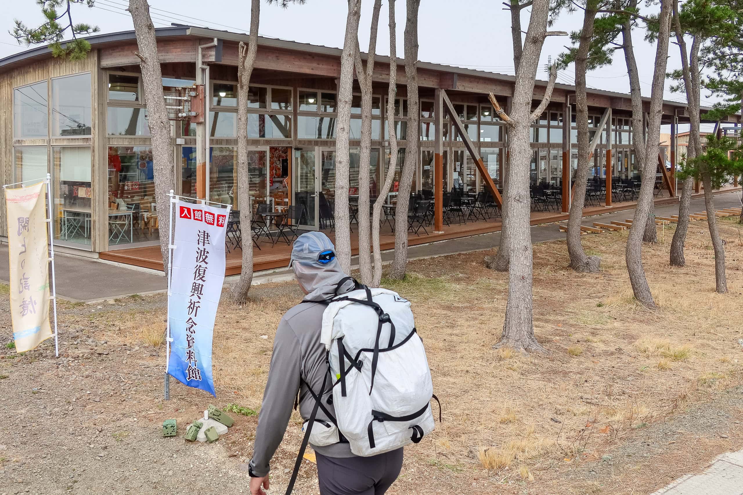
While circling the MCT Natori Trail Center, we noticed a cluster of flat buildings on the bayfront behind it.
It was Yuriage Minato Asaichi ゆりあげ港朝市. As the name suggests (asaichi = morning market), most stalls were quiet and already closed. But the nearest building, Maple-kan メイプル館, was open, with a small food court and souvenir shop. On one wall, photo panels showed Yuriage Village 閖上 as it once was—busy and vibrant, full of houses — before the earthquake and tsunami swept everything away.
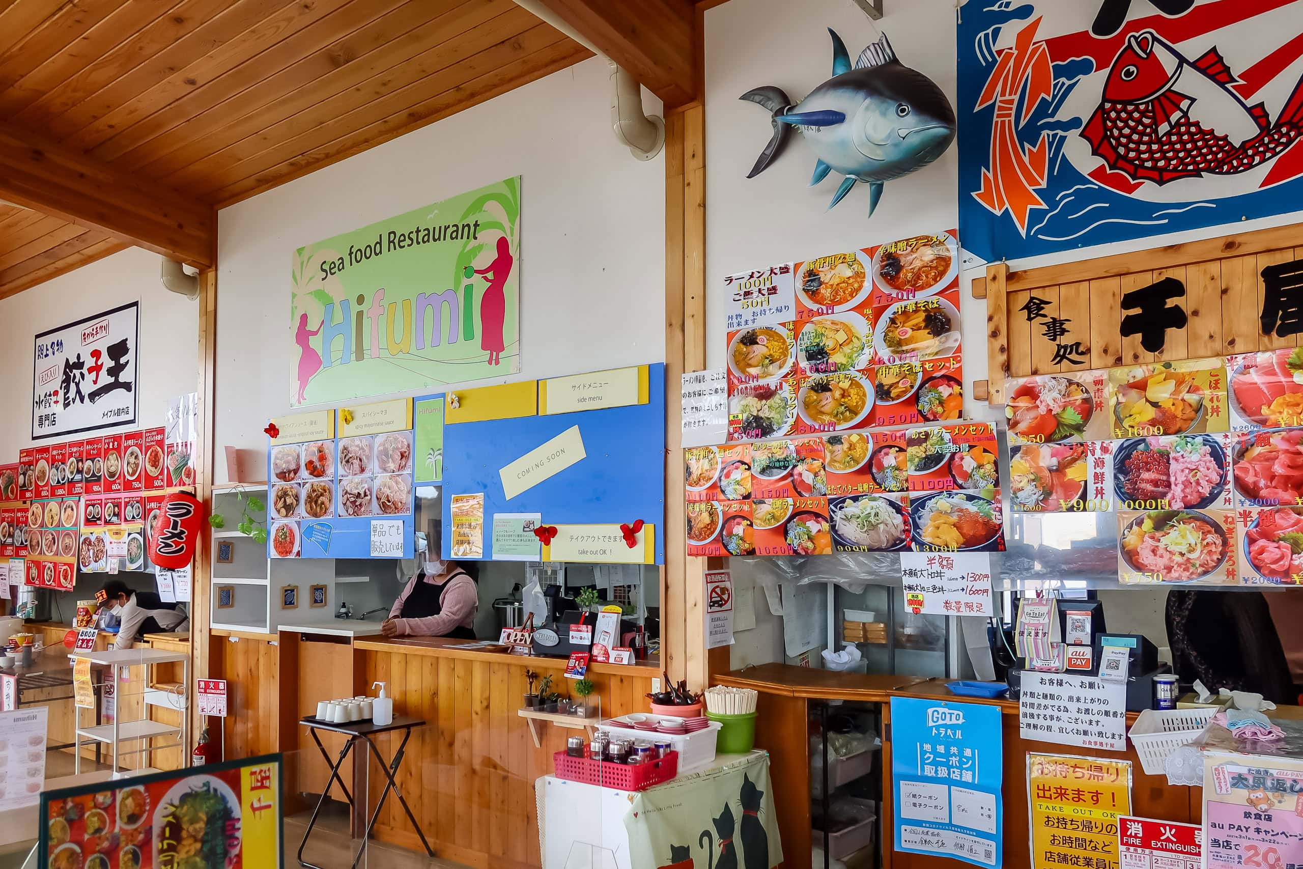
Everything in the food court looked tempting, but it was too soon after breakfast to eat much.
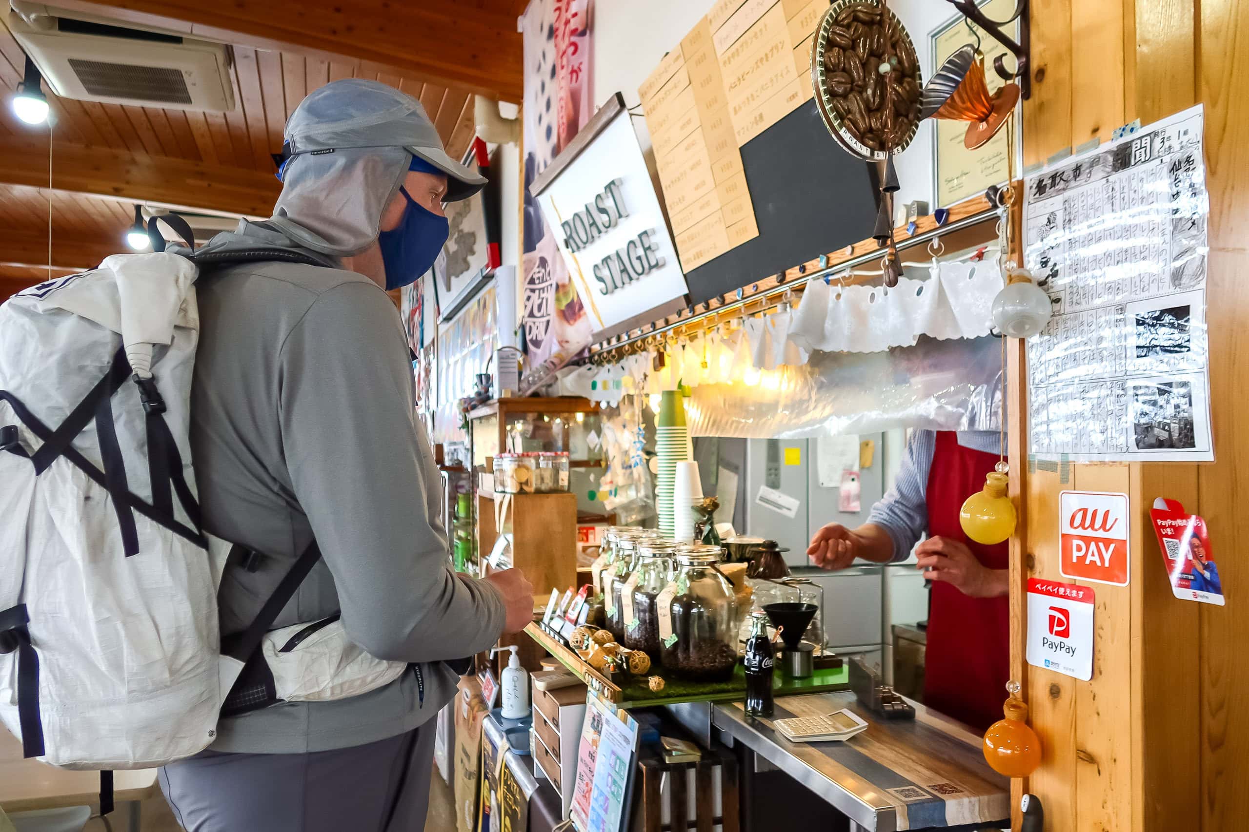
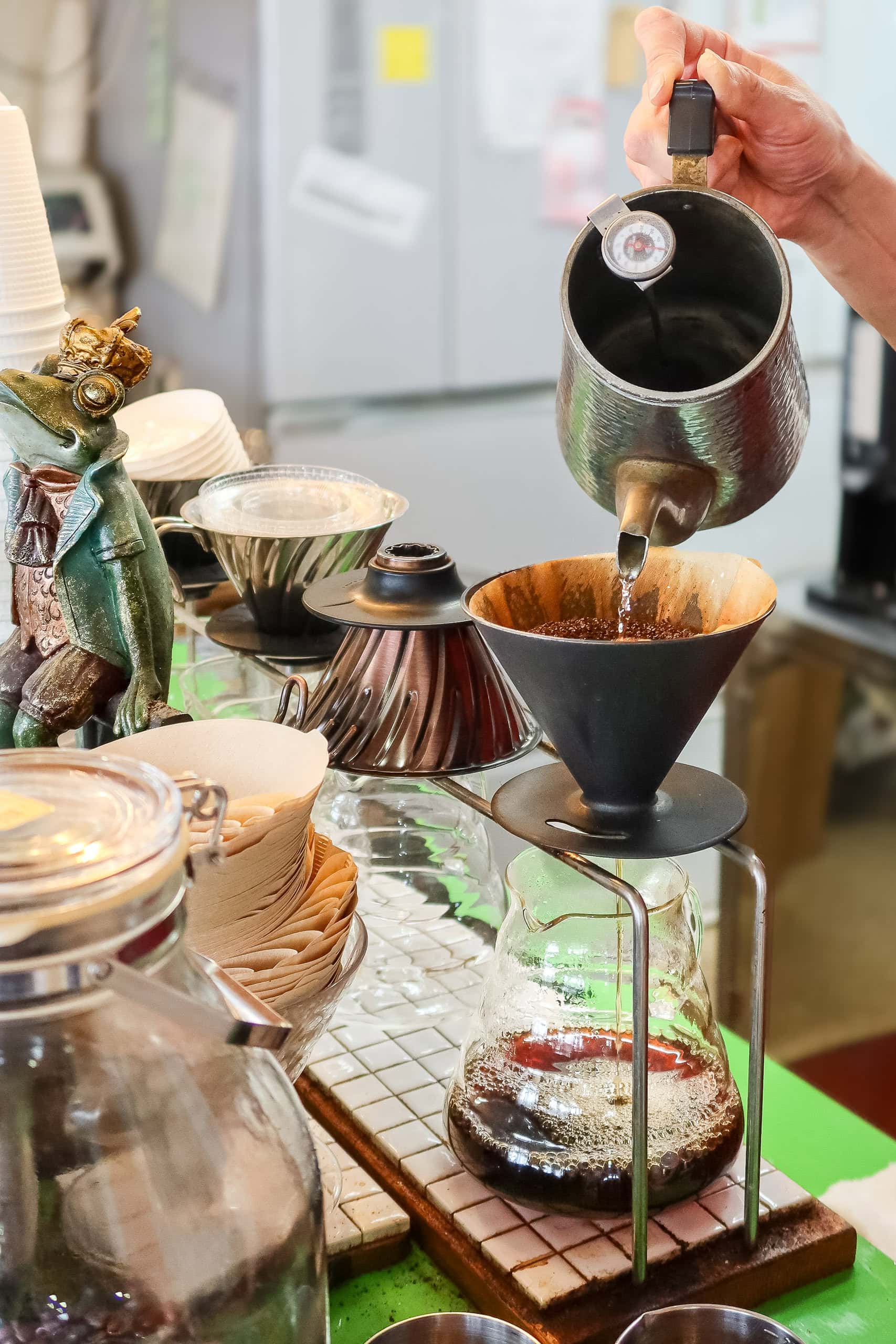
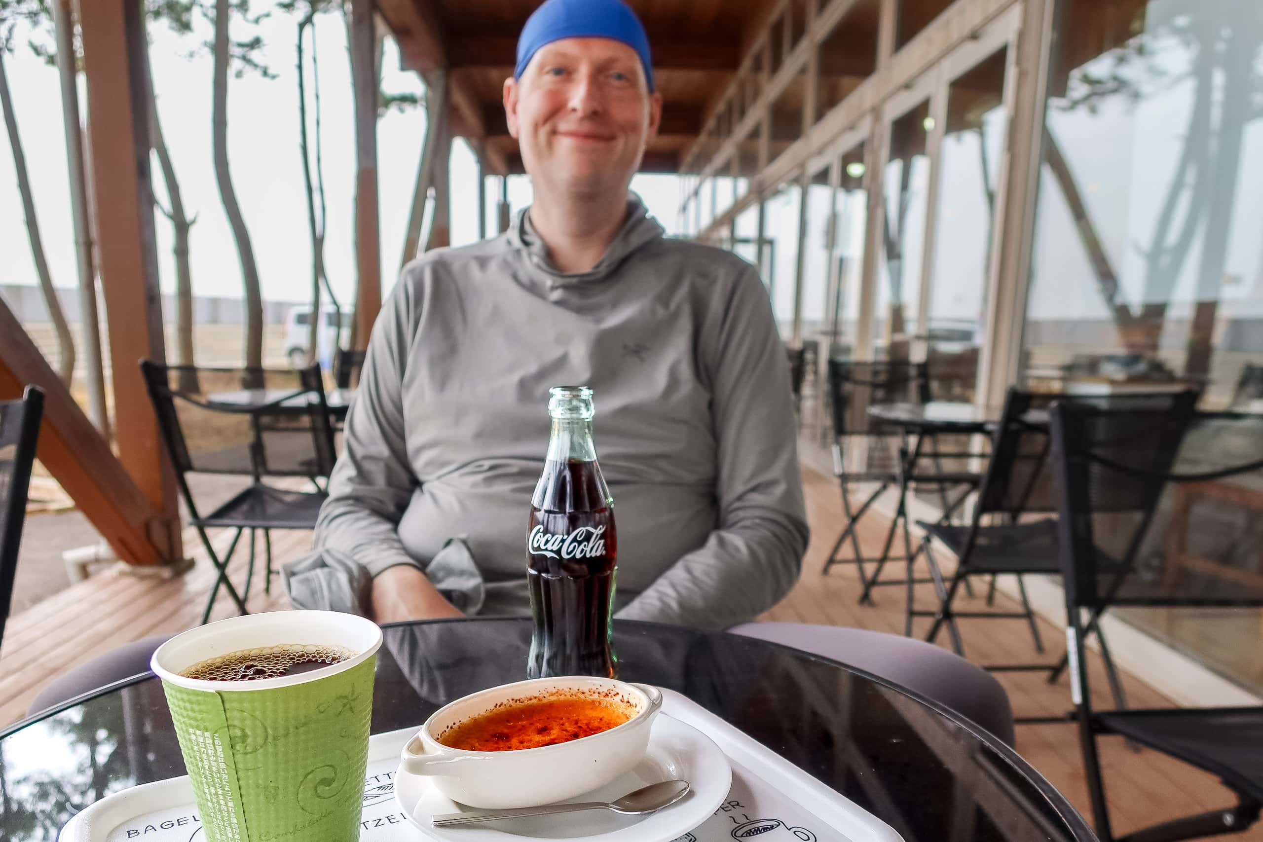
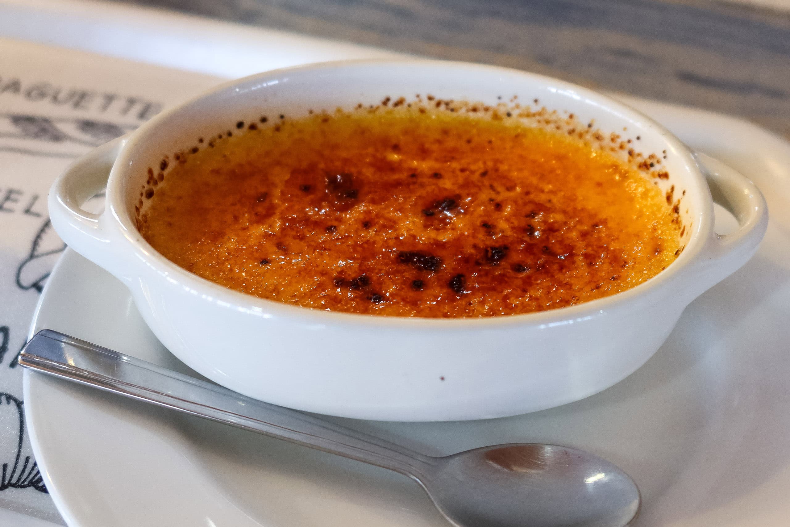
We chose a coffee stand called Roast Stage; I had a freshly hand-brewed cup, and Erik went for his favorites: a cream pudding and a classic glass-bottle Coke. We took a long break on the wooden deck outside.
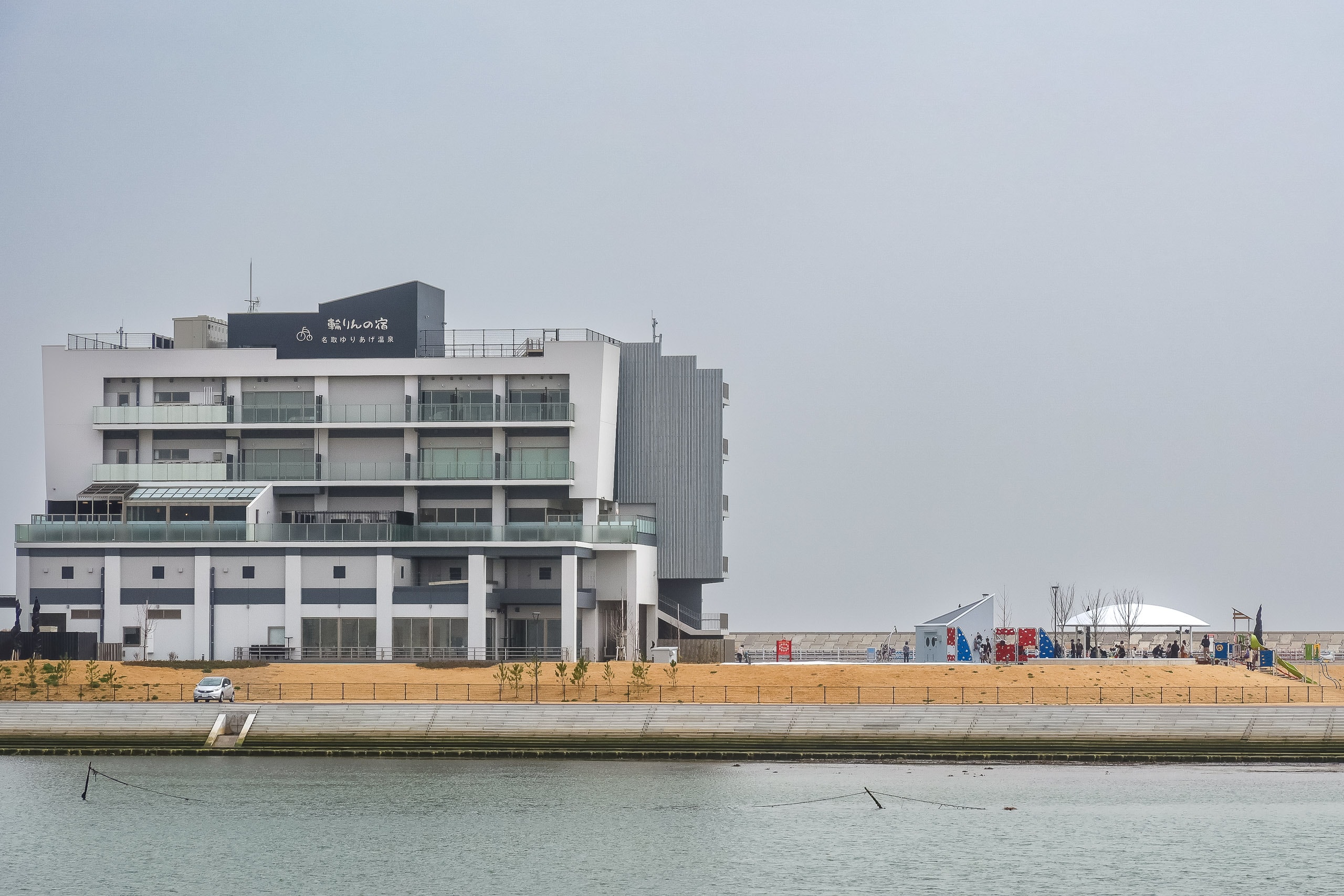
Across Hiroura Bay, the ocean side was livelier: we could see tiny silhouettes of runners, cyclists, and kids moving around the Natori Cycle Sports Center 名取サイクルスポーツセンター.
It was closed then, so not an option for lodging. As of late 2023, though, it has been renovated and reopened—and looks like a fantastic place to stay, with a restaurant and beautiful ocean-view indoor/outdoor hot springs.
From here, the MCT turned inland along the Natori River 名取川 to cross the closest bridge to the river mouth, Yuriage Ohashi 閖上大橋. We passed through a newly rebuilt neighborhood with large apartment complexes. Many new buildings along the MCT now include broad, all-age-friendly spiral ramps instead of only stairs, so residents and neighbors can run up quickly to the roof in an emergency; some even link to each other via high-level bridges.
Just before the bridge, the route joined busy Route 10. We stopped at a shopping center on the corner — a big grocery store, a drugstore, and a 100-yen shop. This was the best (and last) supply point before the next several kilometers of shopless bike road.
Since we began at the Southern Terminus, every major river has been a city boundary. The Natori River was no exception. Midway across the bridge we left Natori City and entered Sendai City 仙台市, Miyagi’s capital and the largest city in all of Tohoku.
By then, we’d stopped counting municipalities. We were too busy trying to lift our spirits against the view of yet another broad, flat expanse beyond the bridge. We seriously missed a few hills.
Although the MCT map book had us cross Route 10 at the end of the bridge, it was just as easy to drop down to the north shore, pass under the bridge, and stay on the grassy riverside path — keeping closer to the coastline instead of climbing back up to the road on the bank.
Straight on the Sendai–Watari Bike Path
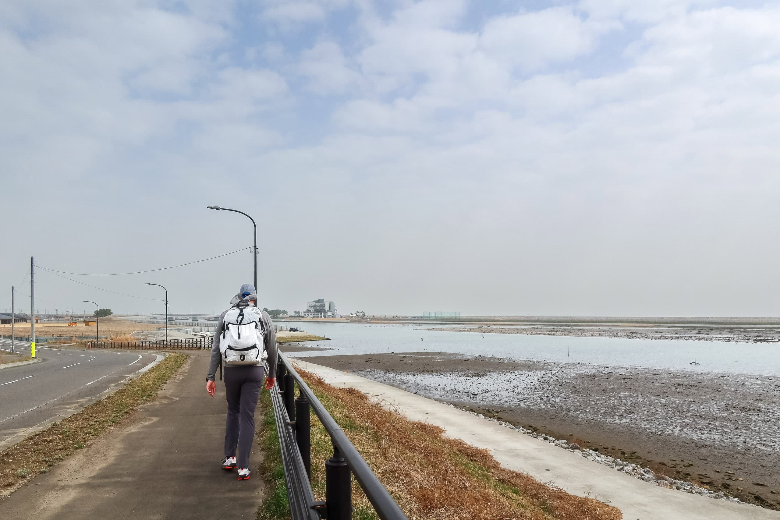
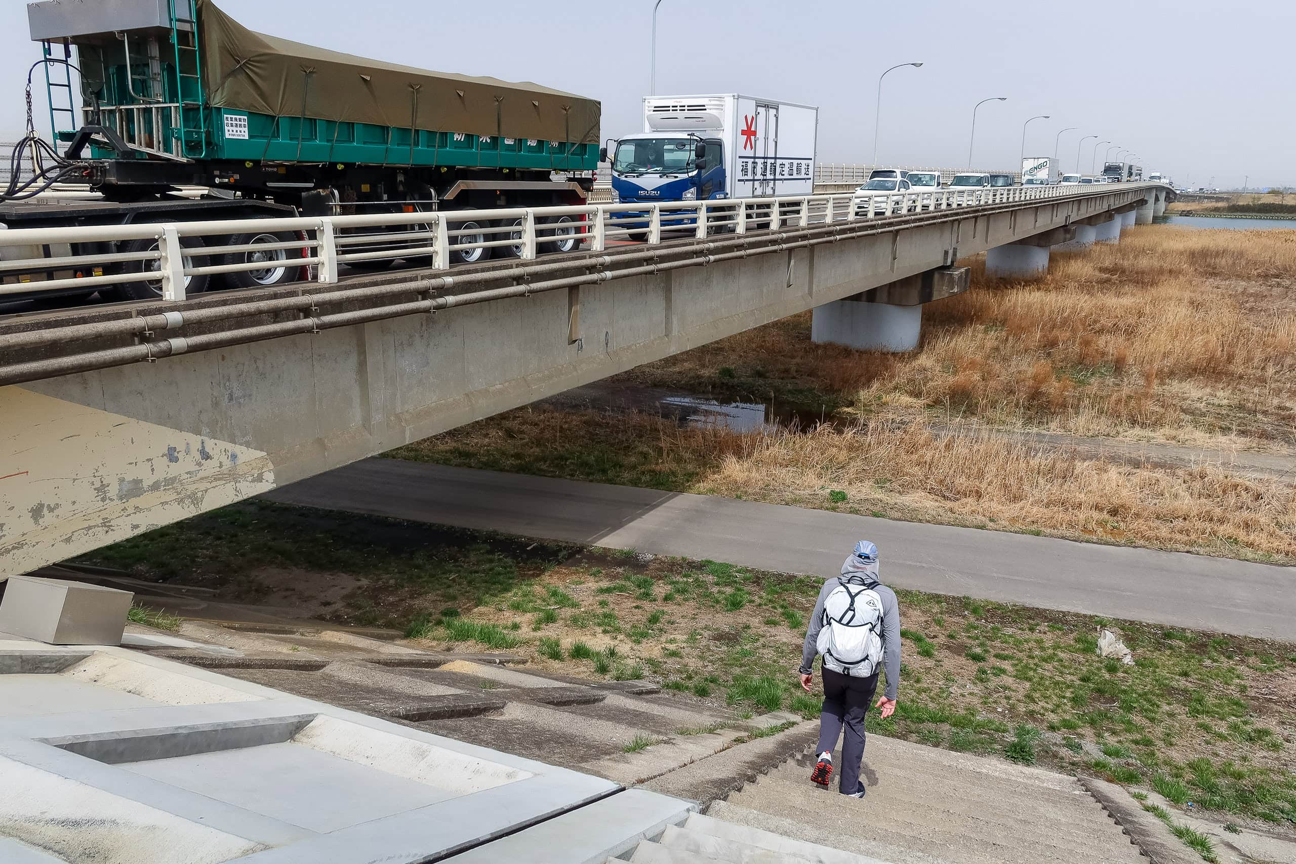
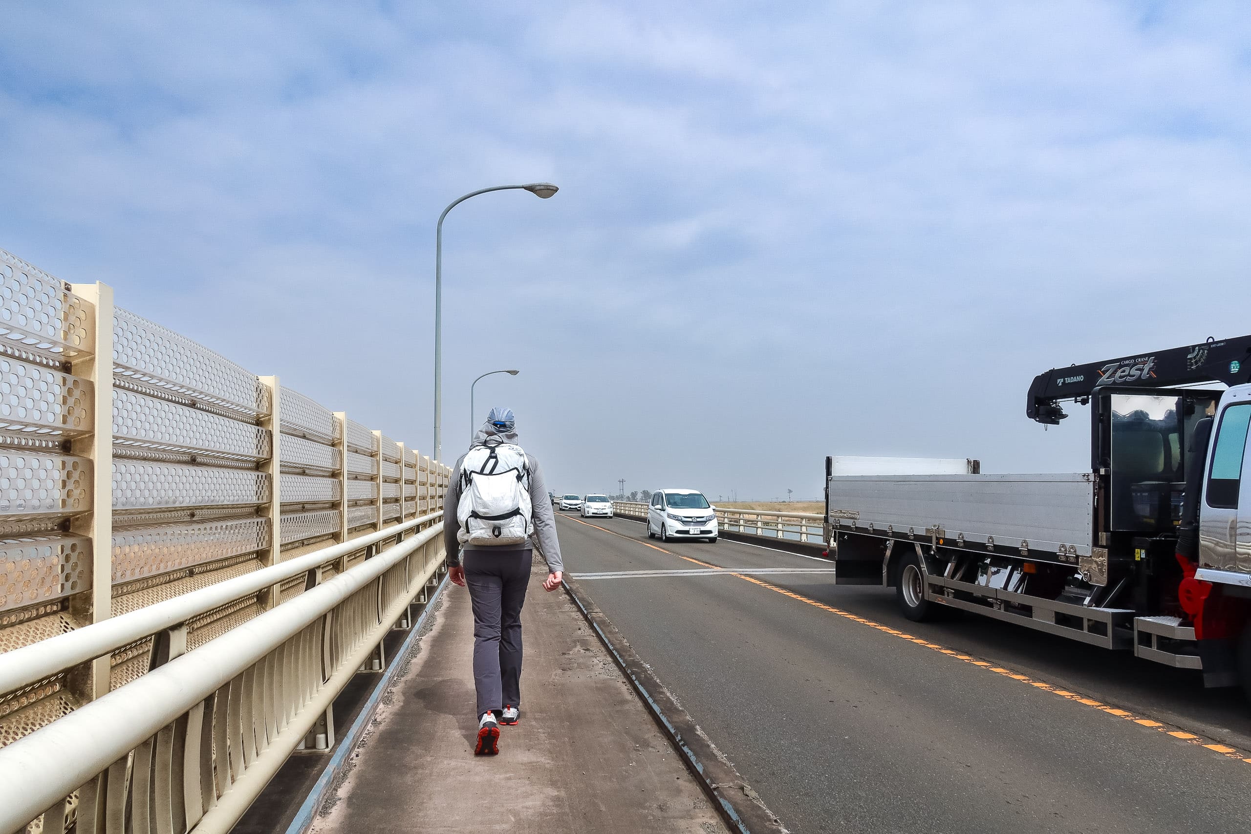
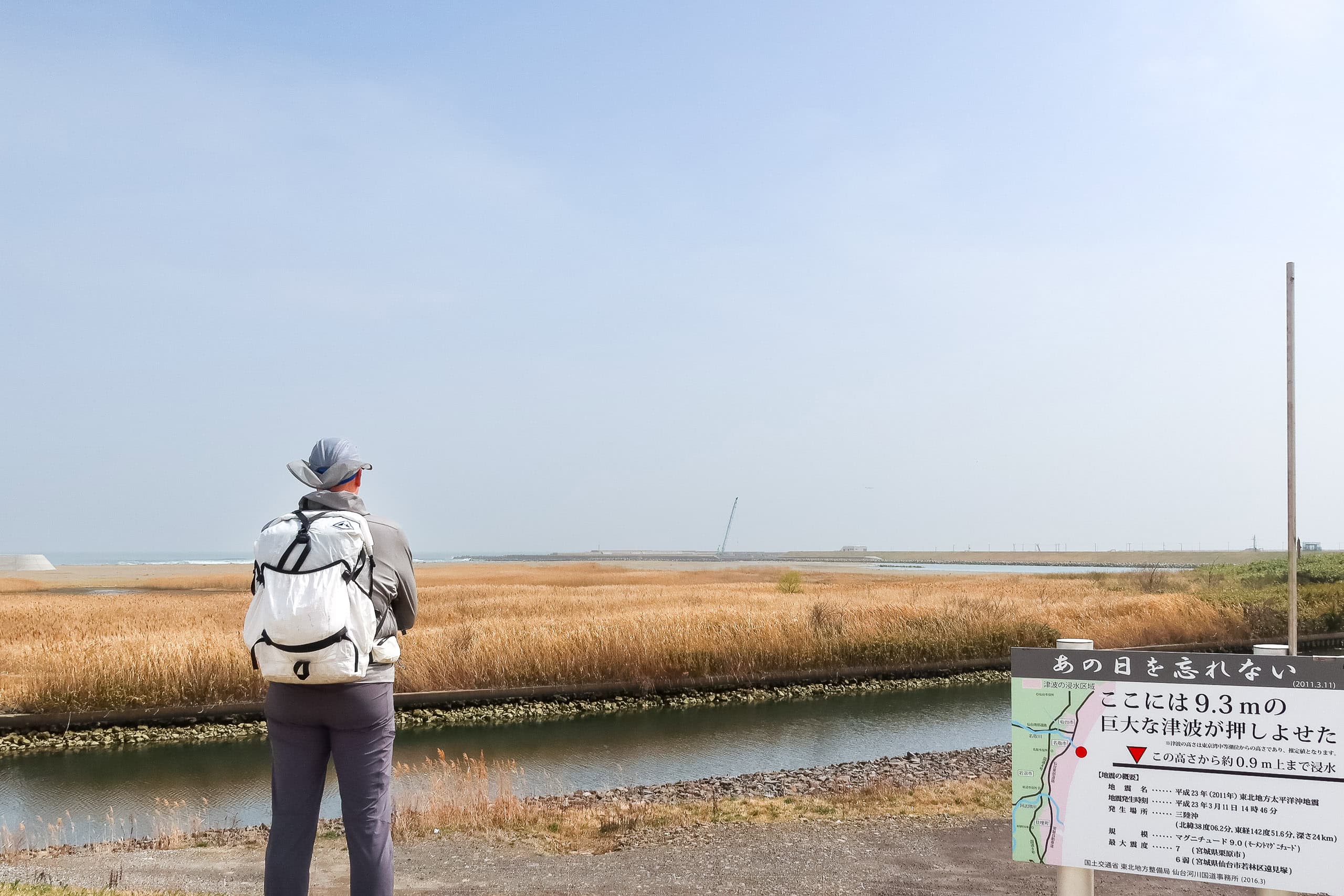
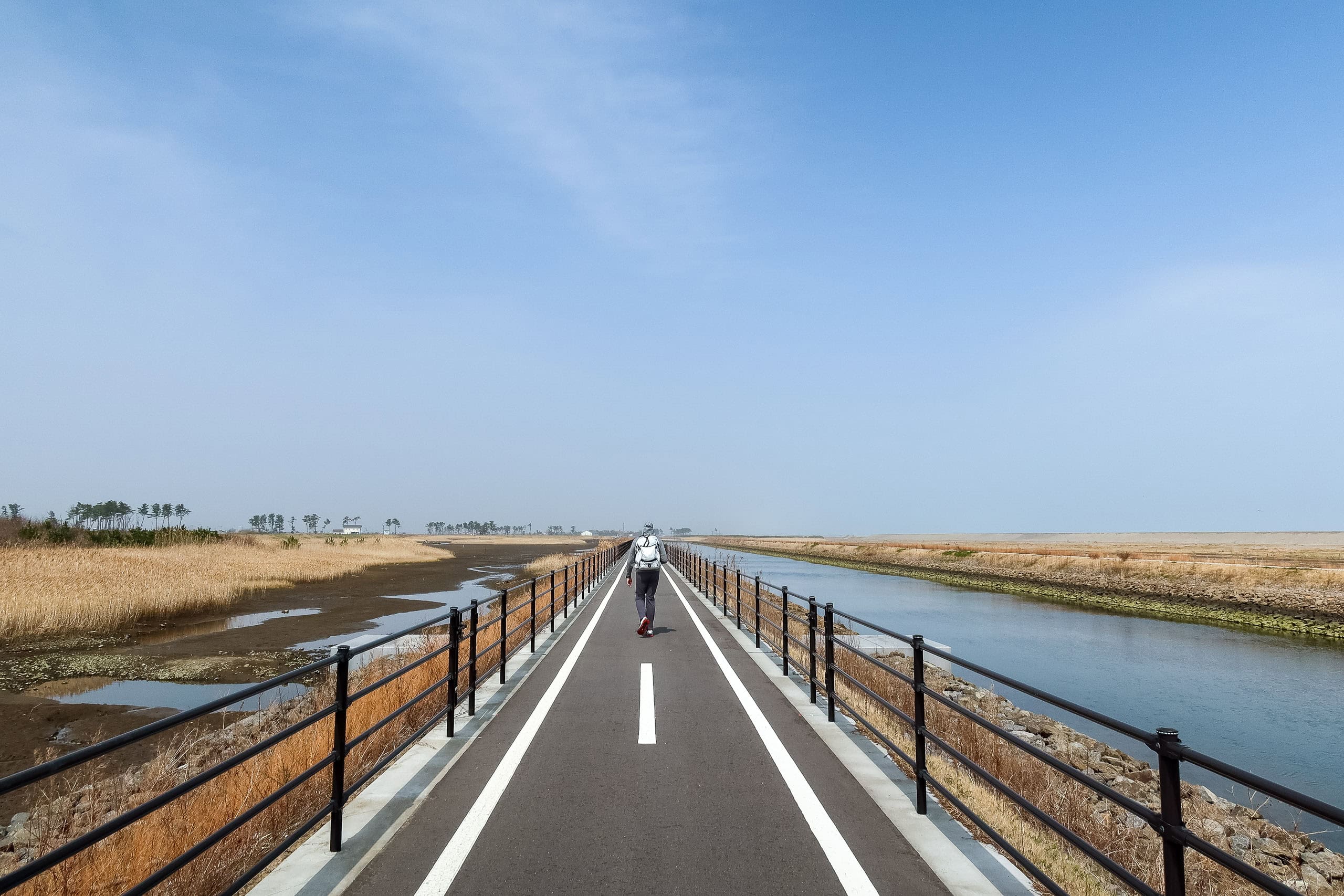
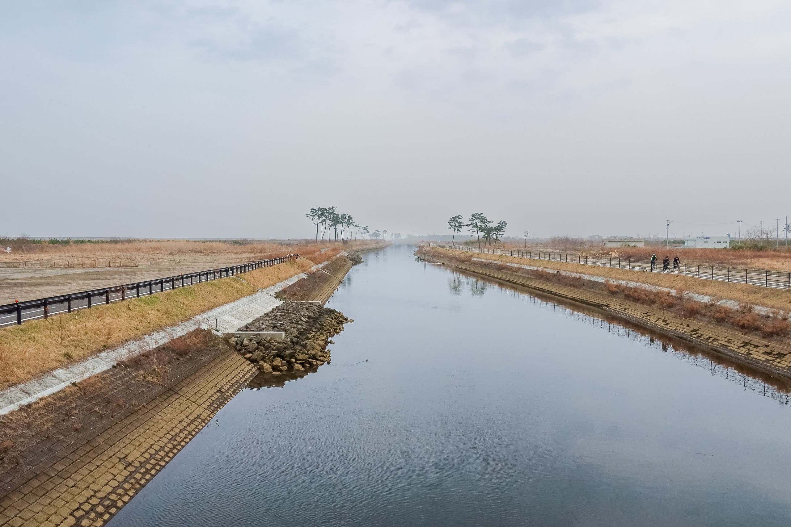
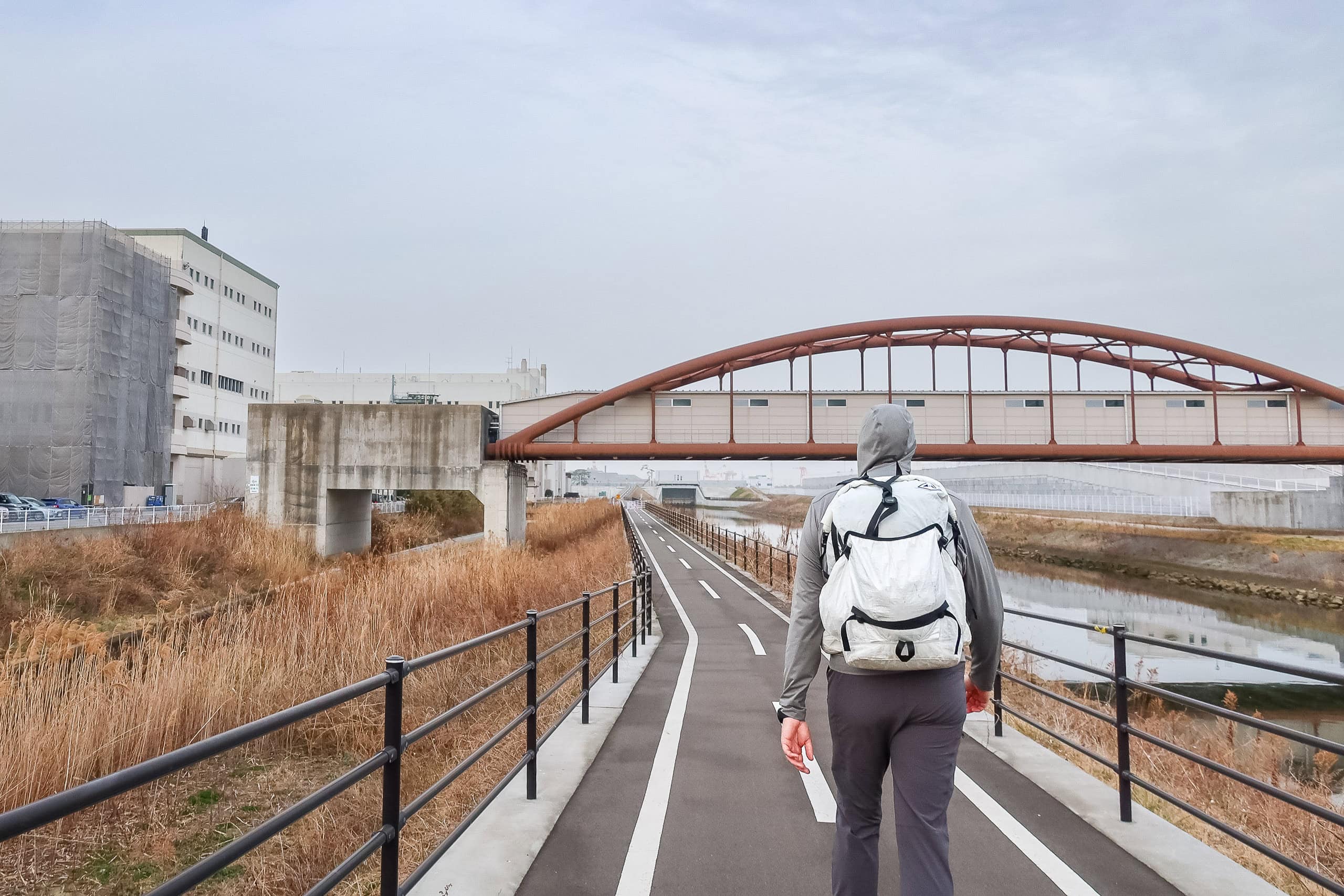
The dead-straight Teizan Canal crosses the Natori River and runs on into Sendai. After we reached the river mouth, we stepped onto the Sendai–Watari Bicycle Path 仙台亘理自転車道, which follows the canal in a ruler-straight line parallel to the coast.
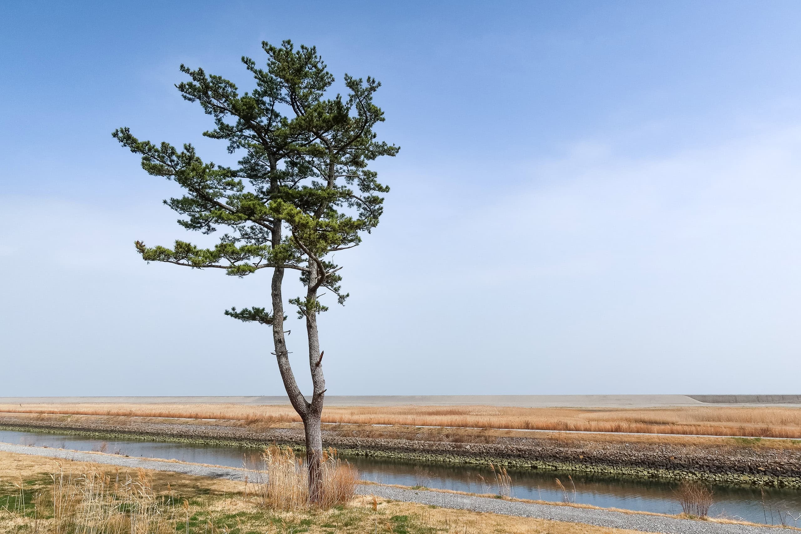
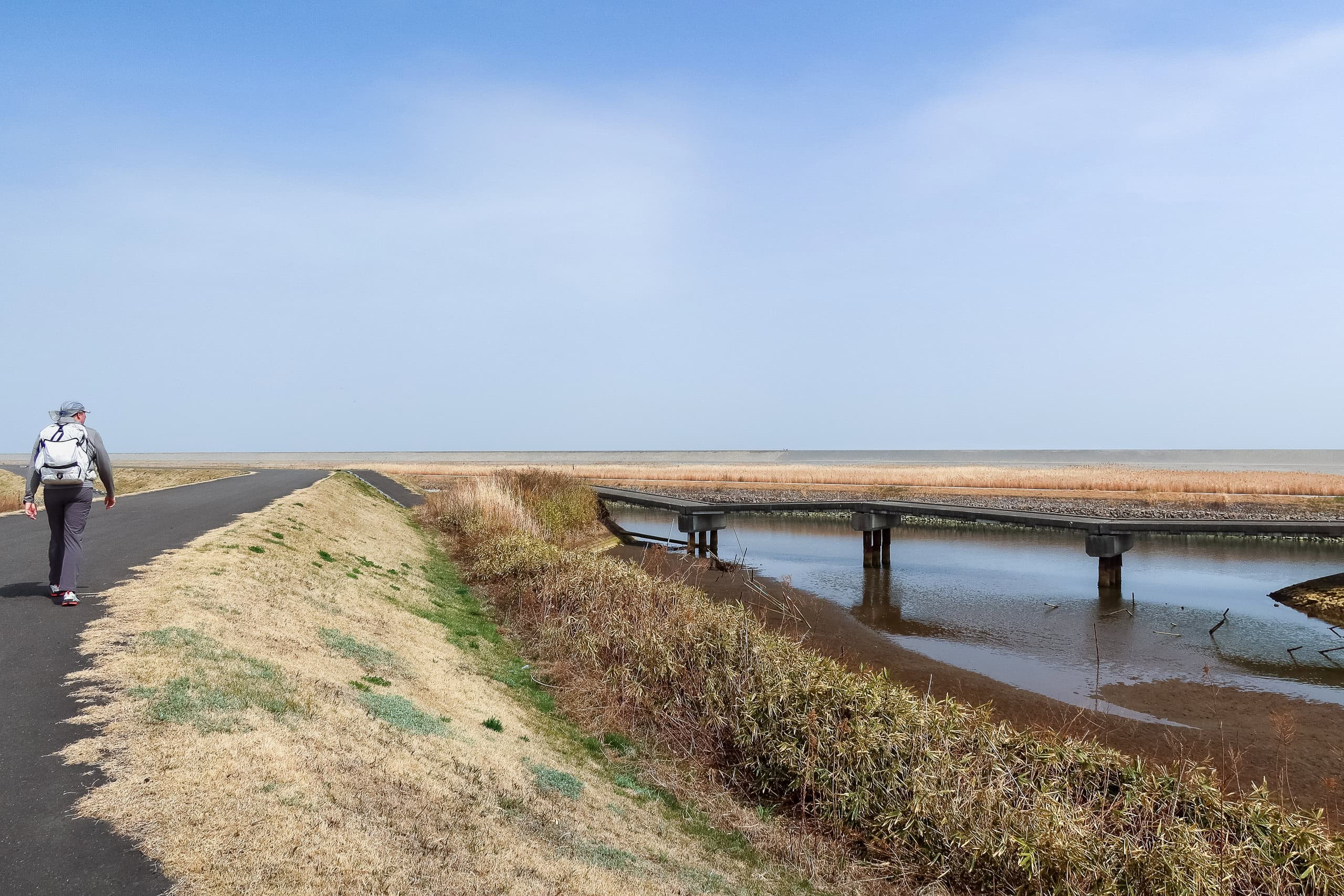
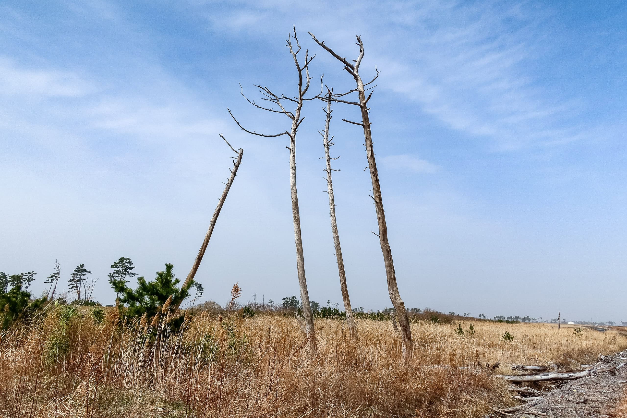
It was hard to picture what once stood here. A lone memorial board said the March 11, 2011 tsunami reached 9.3 meters in this area. We passed a single pine tree by the canal—the only tall thing around—and a newly rebuilt shrine.
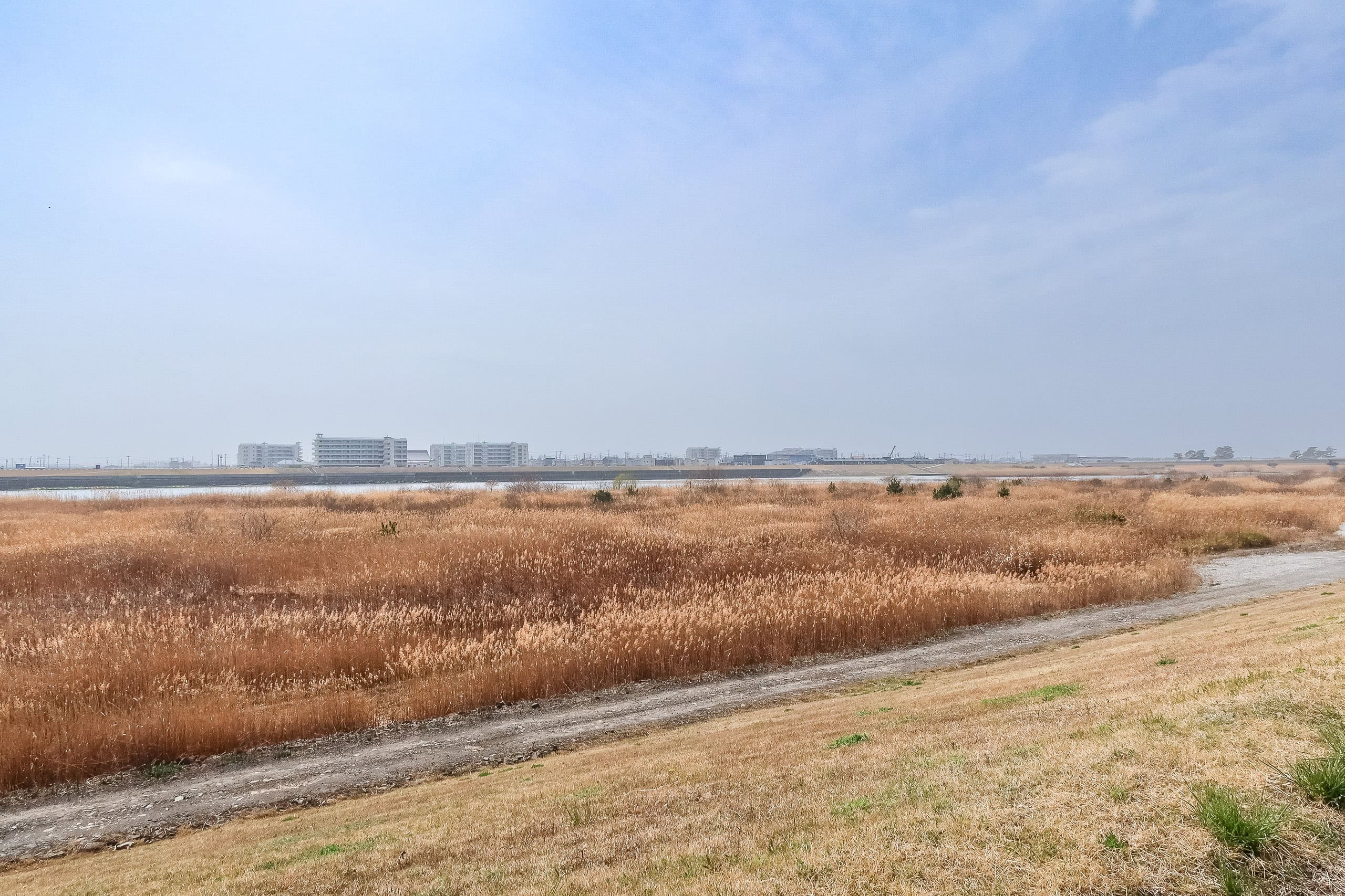
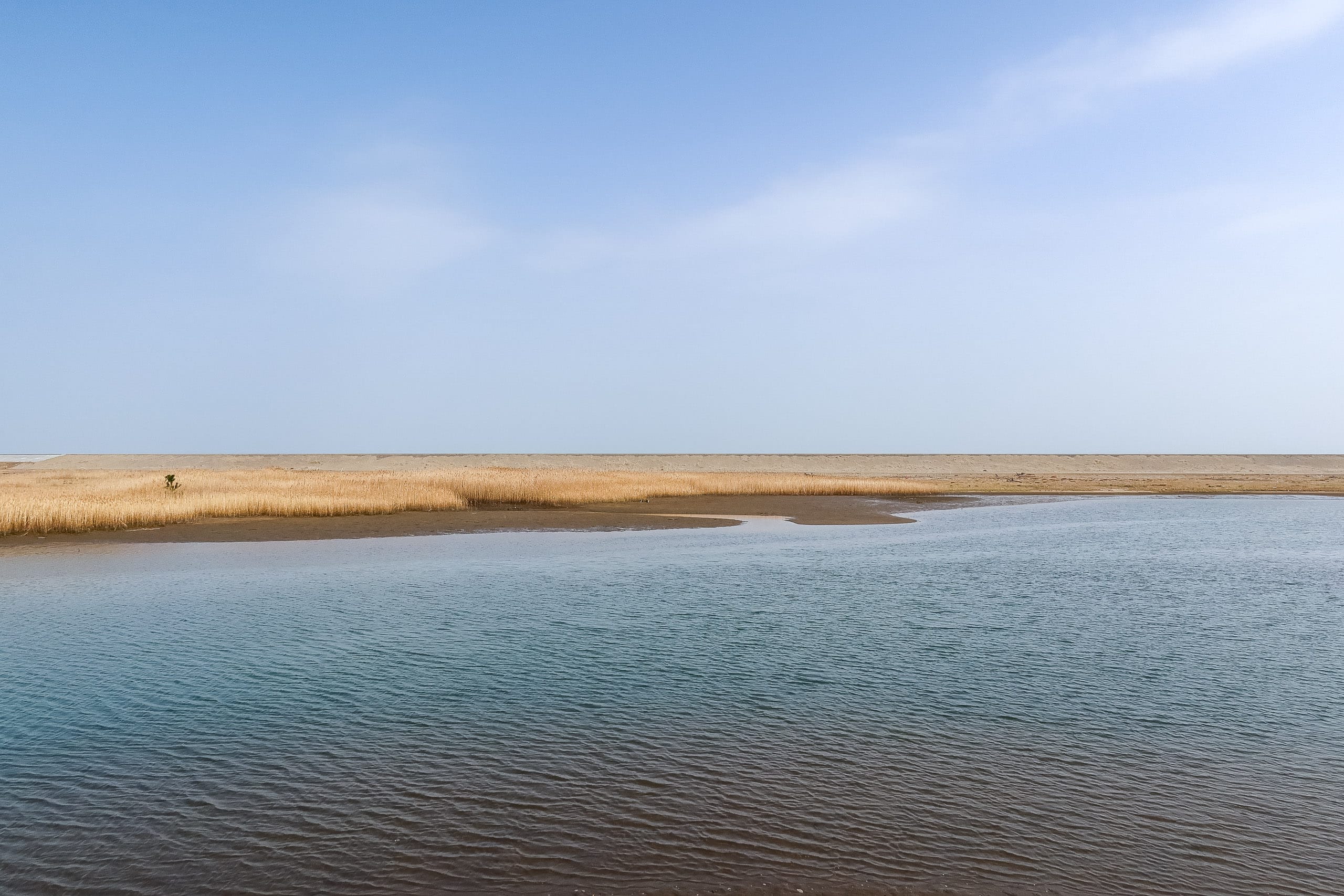
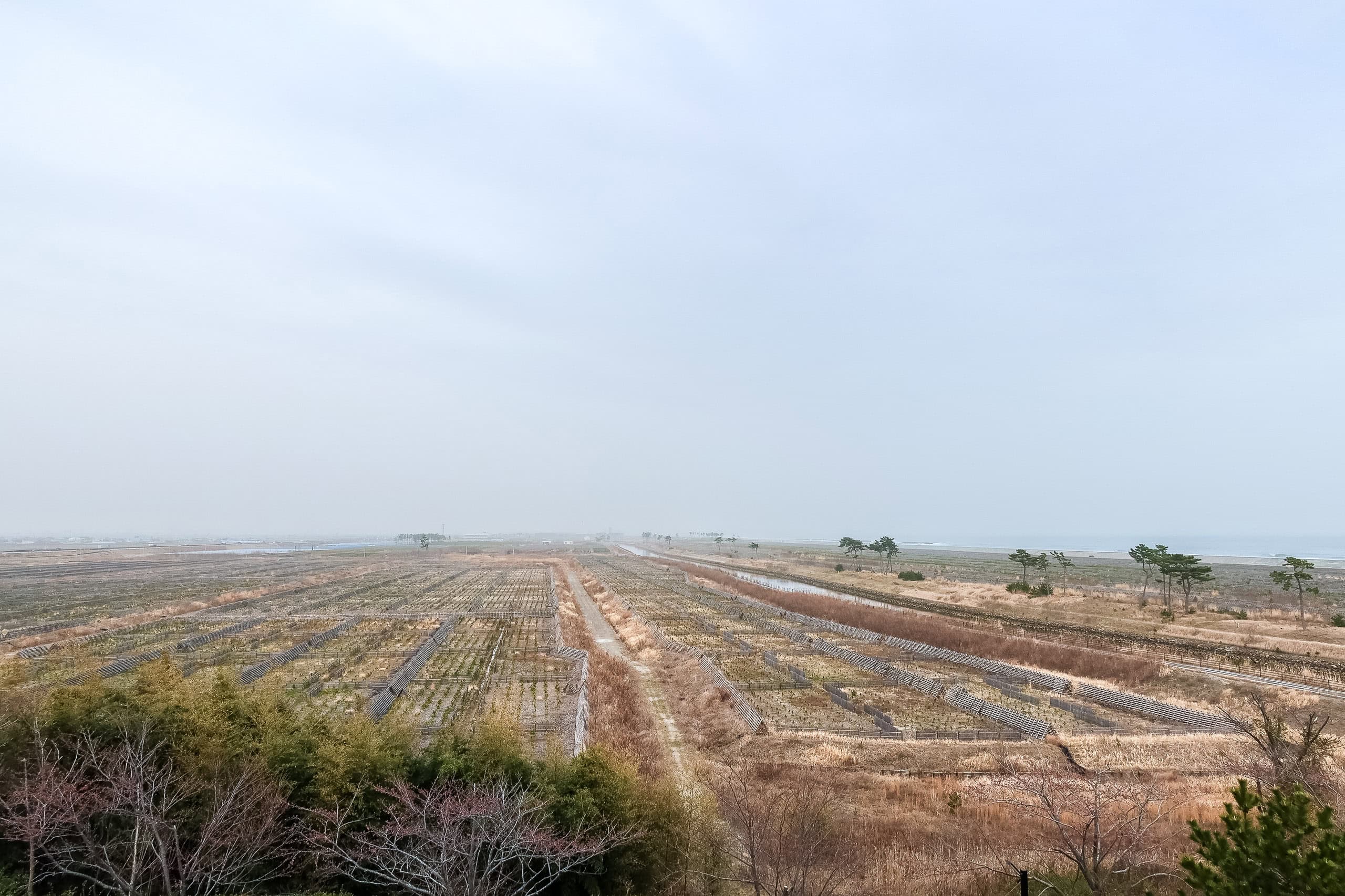
Aside from occasional pines, everything was low and flat: pampas grass wetlands on one side, raised and fenced plots for young windbreak pines on the other.
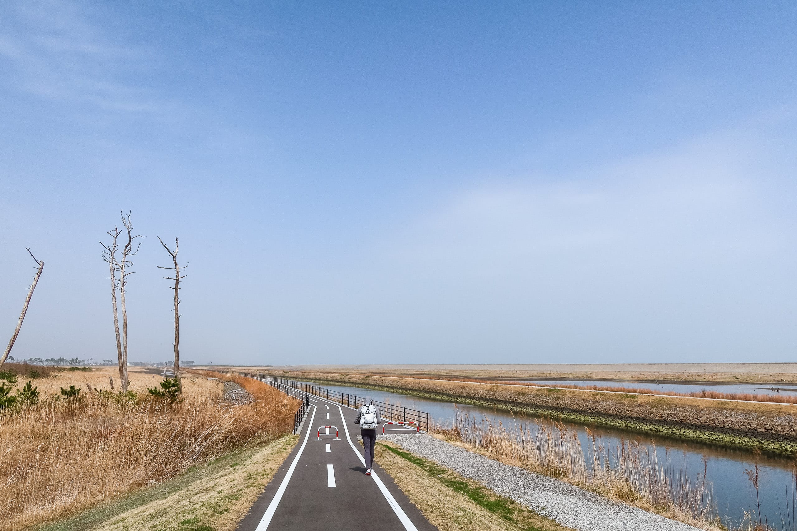
The bike path was straight. Like, really straight.
Perfect asphalt, no cars allowed — cyclists would love this on a sunny, breezy day.
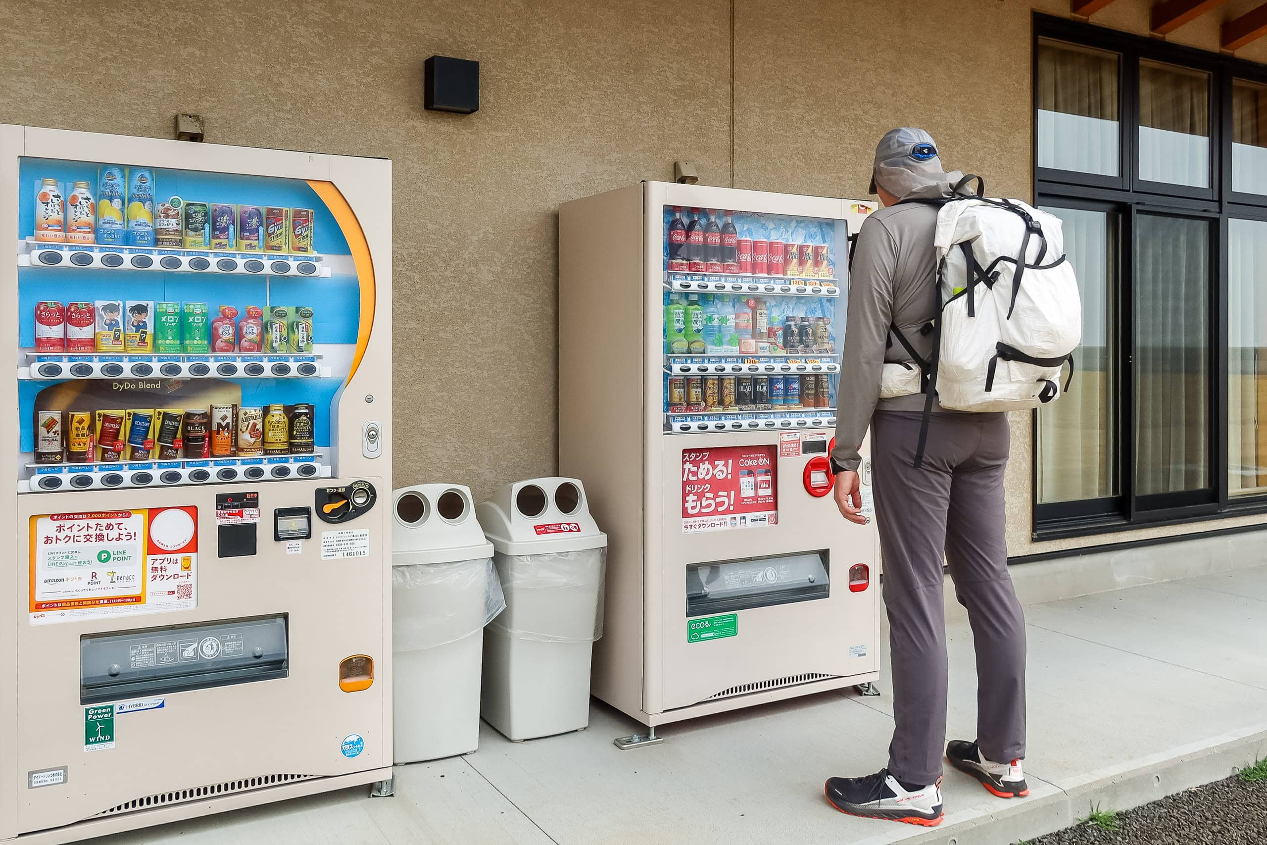
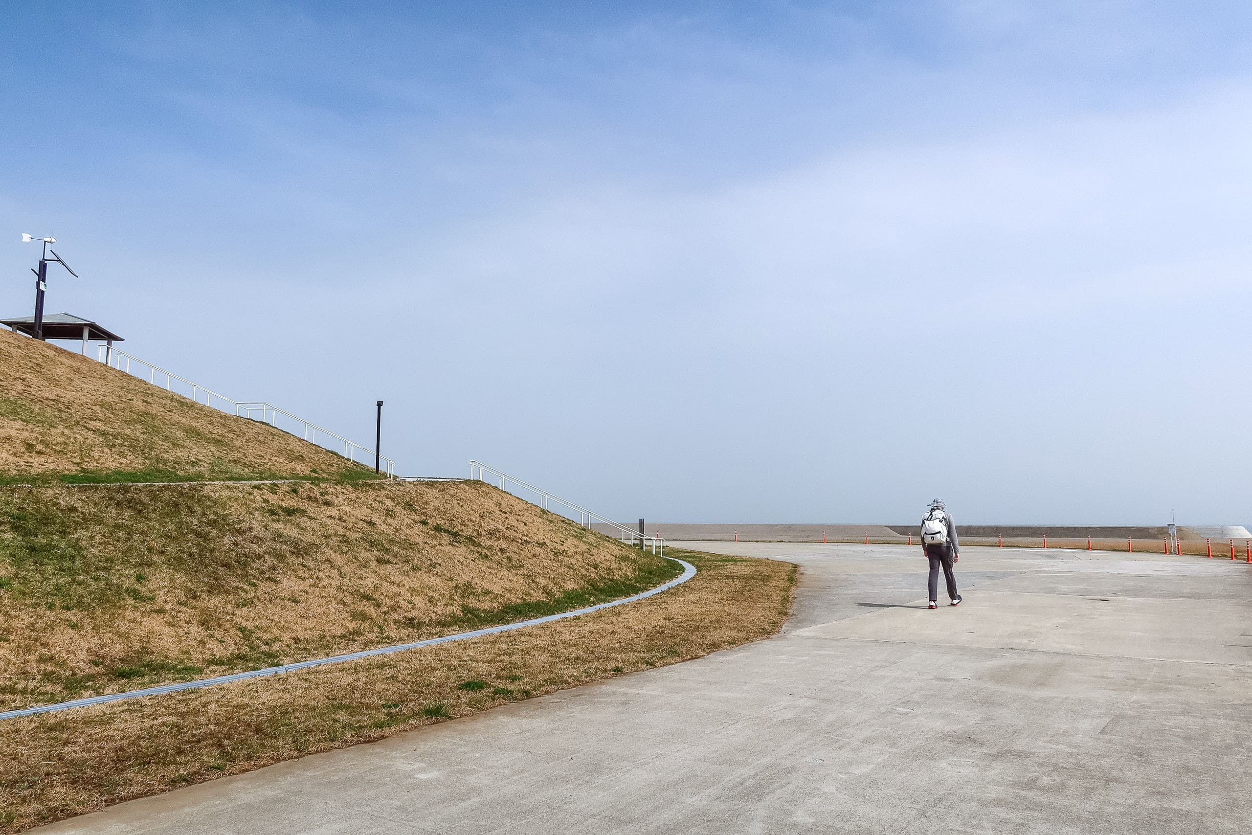
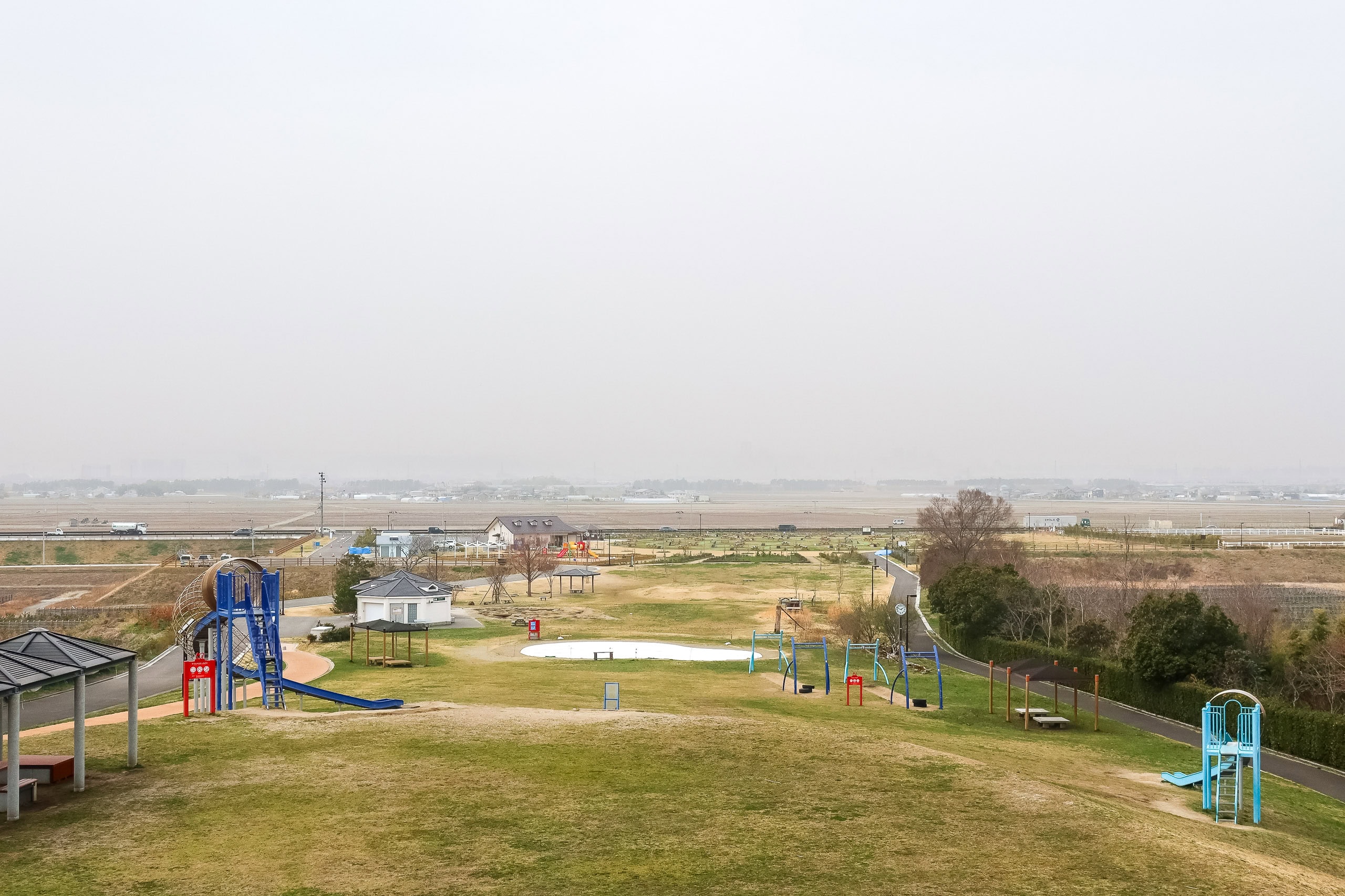
Every so often we reached the familiar evacuation hills. On the far side of these mounds were parks with bathrooms and vending machines, usually positioned closer to highways for easy car access. Thanks to the cooler weather we didn’t need a break, so we skipped climbing up and over each hill to the parks and just kept going—almost on autopilot.
Honestly, we just wanted this walk to end.
Several tsunami memorial sites stood right along the path, mostly preserved ruins.
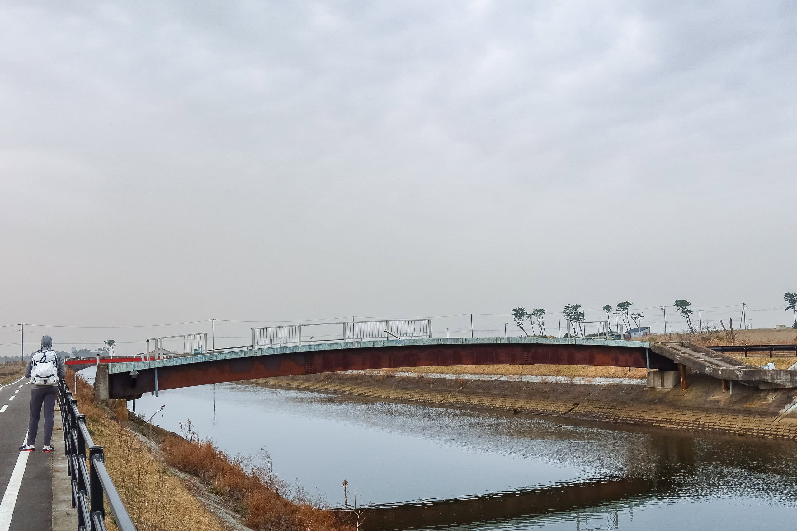
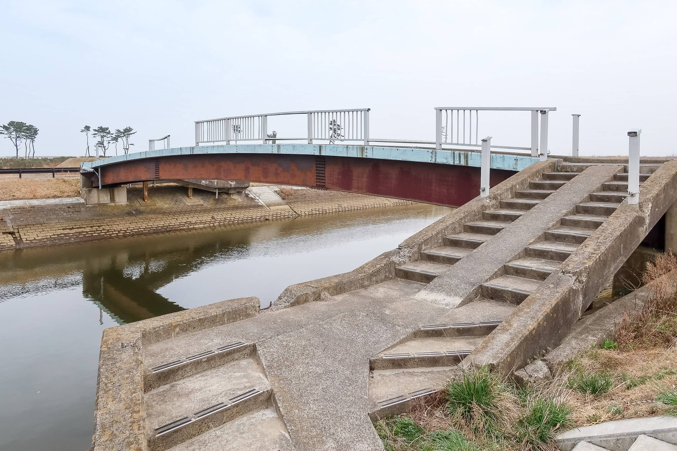
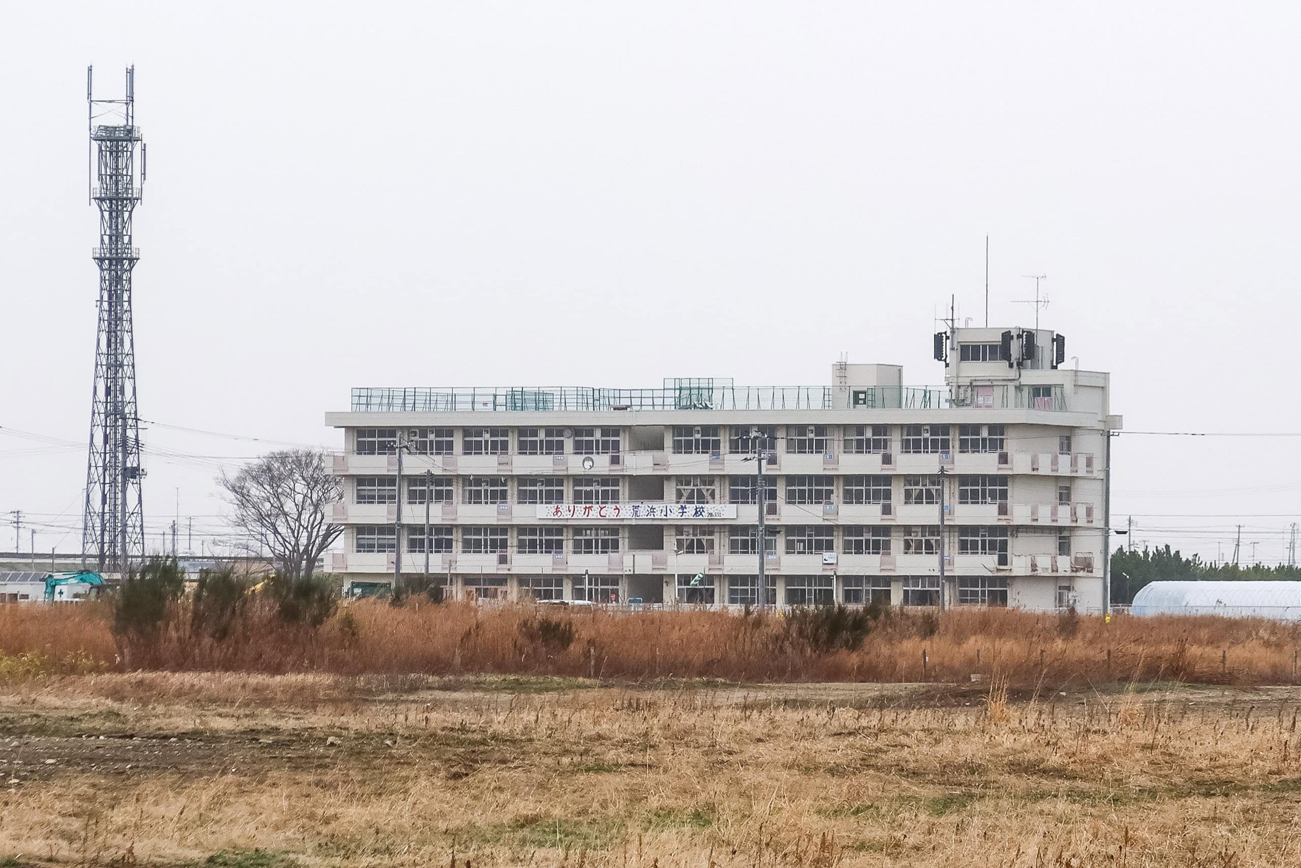
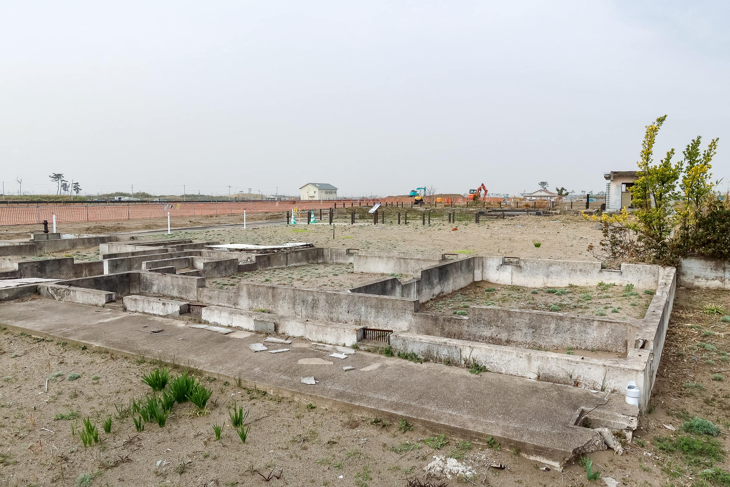
We passed a half-collapsed concrete-and-metal bridge and saw the Former Sendai Arahama Elementary School 仙台市立荒浜小学校 in the distance — intact from the outside, though who knows what the inside looks like now. Right beside the path, an area of preserved home foundations told a different story: information boards along the walkway explained the deep scars in the ground, “tsunami-eroded land,” carved out as the waves gouged the soil away.

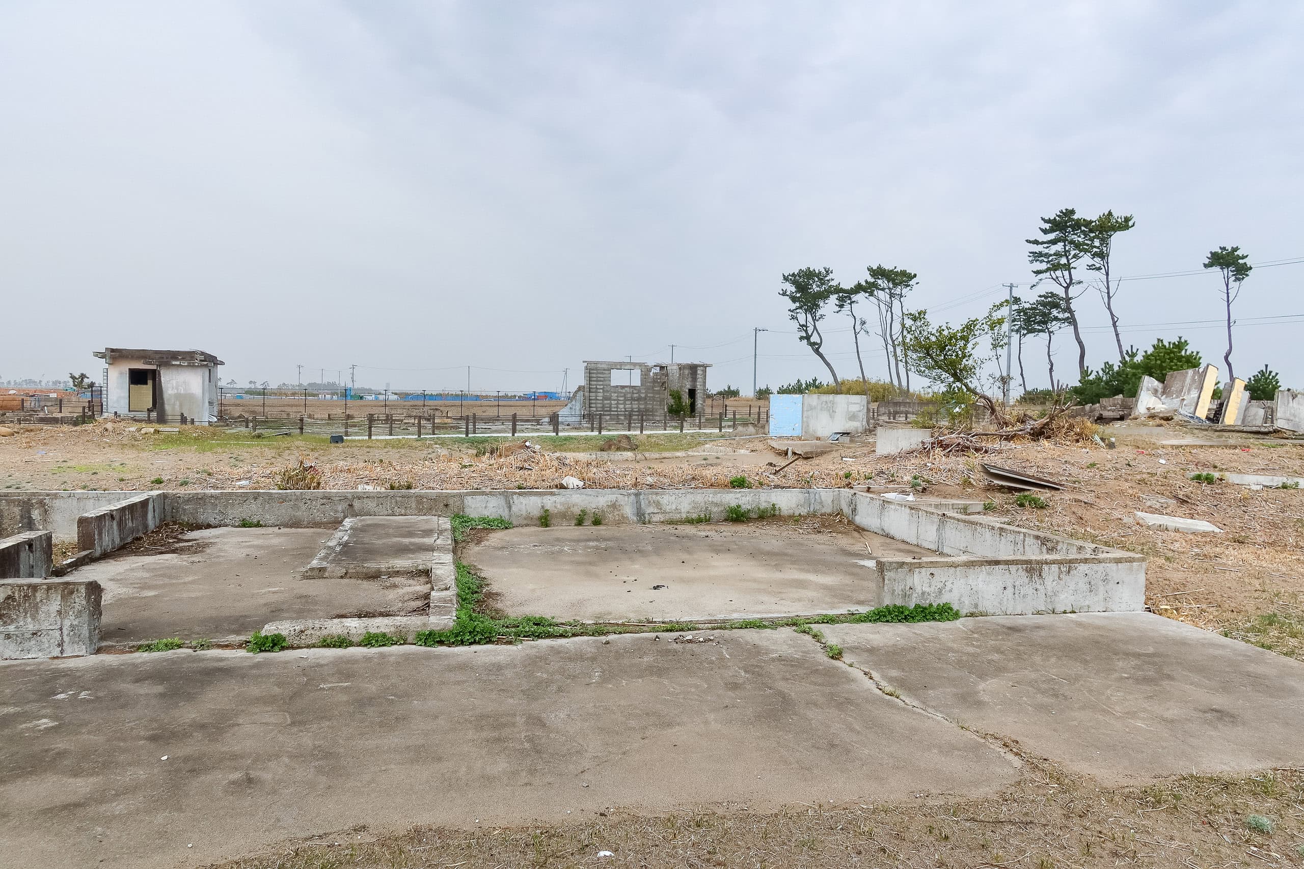
Even with “things to see,” we hit peak boredom here. And to rub salt in, my soles hurt even worse than yesterday on the relentless surface.
After those memorial sites — around the midpoint of this bike-path stretch — we summoned our best zen mind and patience for a five-kilometer arrow-straight line through a punishingly plain landscape.
Finally, factory silhouettes appeared ahead on both sides of the canal. We knew that once we reached them, this all-day plod would be nearly over.
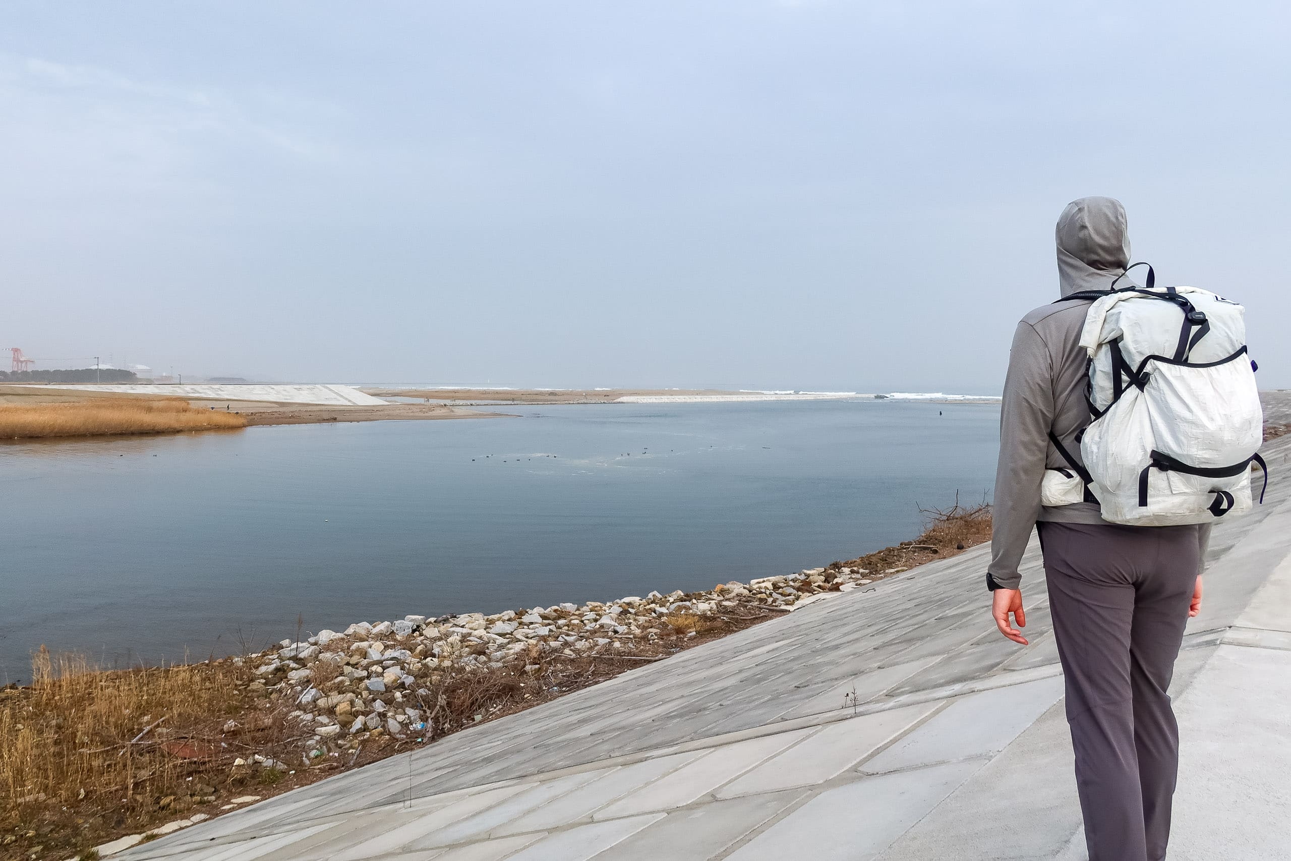
The path met another river, the Nanakitagawa 七北田川, then made a sharp left toward a busy bridge — Takasago Bridge 高砂橋.
Arriving at the Sendai Port area
Crossing the bridge, we saw a heavy industrial area and a lot of large warehouses around the Senday Port. We walked along the very busy wider road with lines of cargo tracks to finish up the last bit of distance we planned to cover today.
Our original estimation was 22 kilometers, but we ended up walking 26. I had no idea how that happened because we didn’t really make detours today. But the longer than we thought walking on all hard-surfaced roads made my feet and hip joints scream in agony for sure.
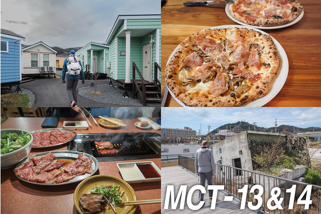
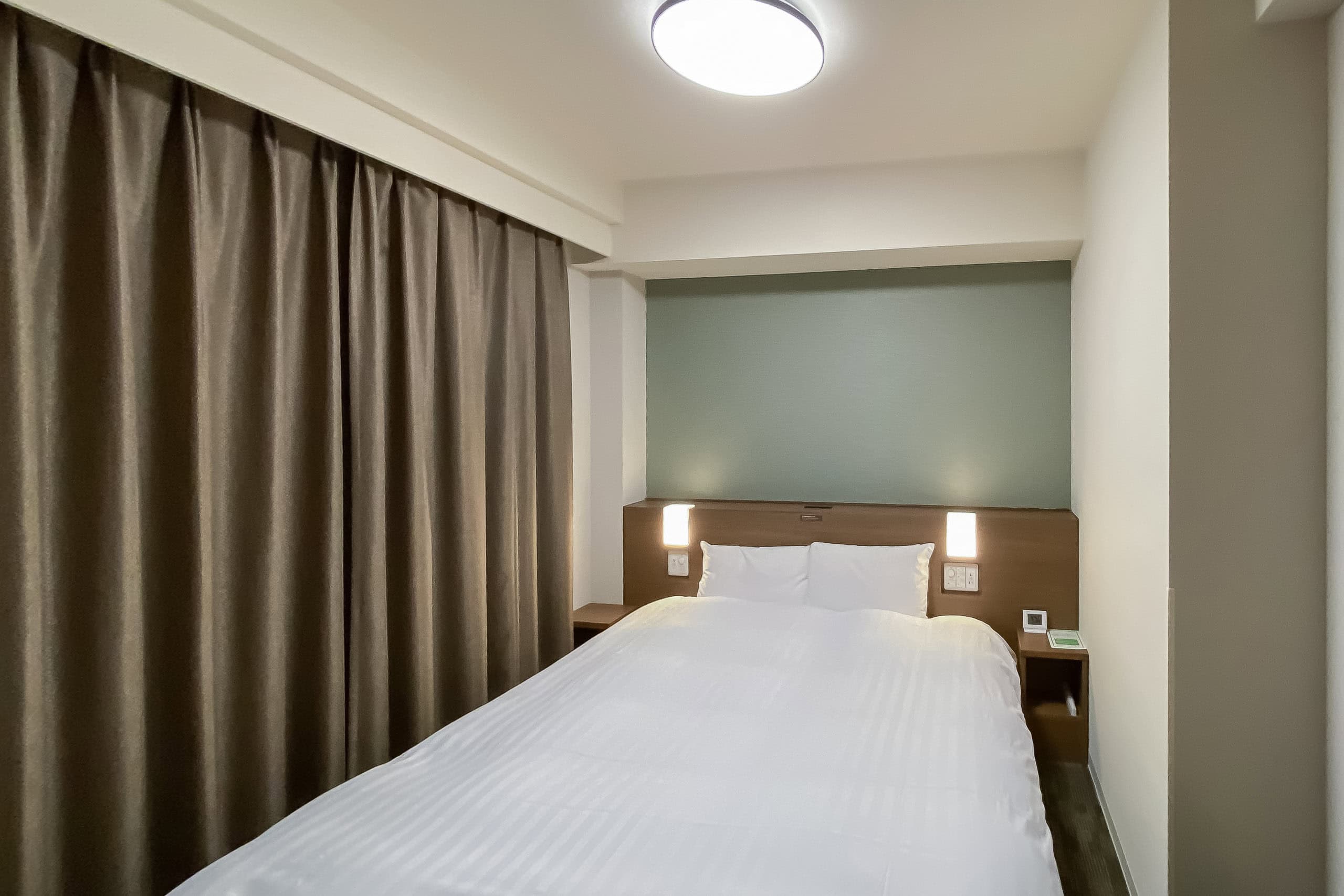
At last, we arrived at the business hotel, Dormy Inn Express Sendai Seaside ドーミーインExpress仙台シーサイド, where we stayed for the night.
This hotel was also the first “supply box point” of our MCT thru-hike.
We had put our camping gear and a few extra goods we were unsure if we needed for thru-hiking on the MCT in these two boxes, one for Erik and another for me, at home and shipped them out via YAMATO (Black Cat) to this hotel in the morning we left home. For this reason, we booked all accommodations for the first 6 days before kicking off our journey and kept booking places to stay for the next week or more ahead to know where to forward the boxes.
The boxes had already been waiting for us and were handed to us at check-in.
Though everything inside was fine, the cardboard boxes had a few small holes and scratches. We didn’t expect them to survive through one more delivery, so we got new and sturdier boxes, white and thicker cardboard boxes for storing documents, at a big home improvement store conveniently located right next to the hotel. Amazingly, these new ones stayed intact after repeated openings, closings, shipping, and deliveries and survived through the 50 days of our MCT thru-hike.
During the past five days of walking, we learned a few goods in our backpacks were not needed and most likely not in the future, too. We put them in the boxes to cut down a bit of weight from our shoulders. Our camping gear also stayed in the boxes this time, waiting for the time we had no other choice. After re-organizing, we closed and shipped them out to the next supply box point from the hotel’s front desk the next morning.
Dormy Inn Express Sendai Seaside had an especially large public hot spring with a massage room. I could not resist again. So, two days in a row, I took an 80-minute body and foot massage, and this time, Erik joined me, too.
MCT – Day 5
| Start | Sendai Int. Airport |
| Distance | 26.4km |
| Elevation Gain/Loss | 14m/15m |
| Finish | Sendai Port |
| Time | 7h 23m |
| Highest/Lowest Altitude | 4m/ 1m |
Route Data
The Michinoku Coastal Trail Thru-hike : Late March – Mid-May 2021
- The first and most reliable information source about MCT is the official website
- For updates on detours, route changes, and trail closures on the MCT route
- Get the MCT Official Hiking Map Books
- Download the route GPS data provided by MCT Trail Club
- MCT hiking challengers/alumni registration