

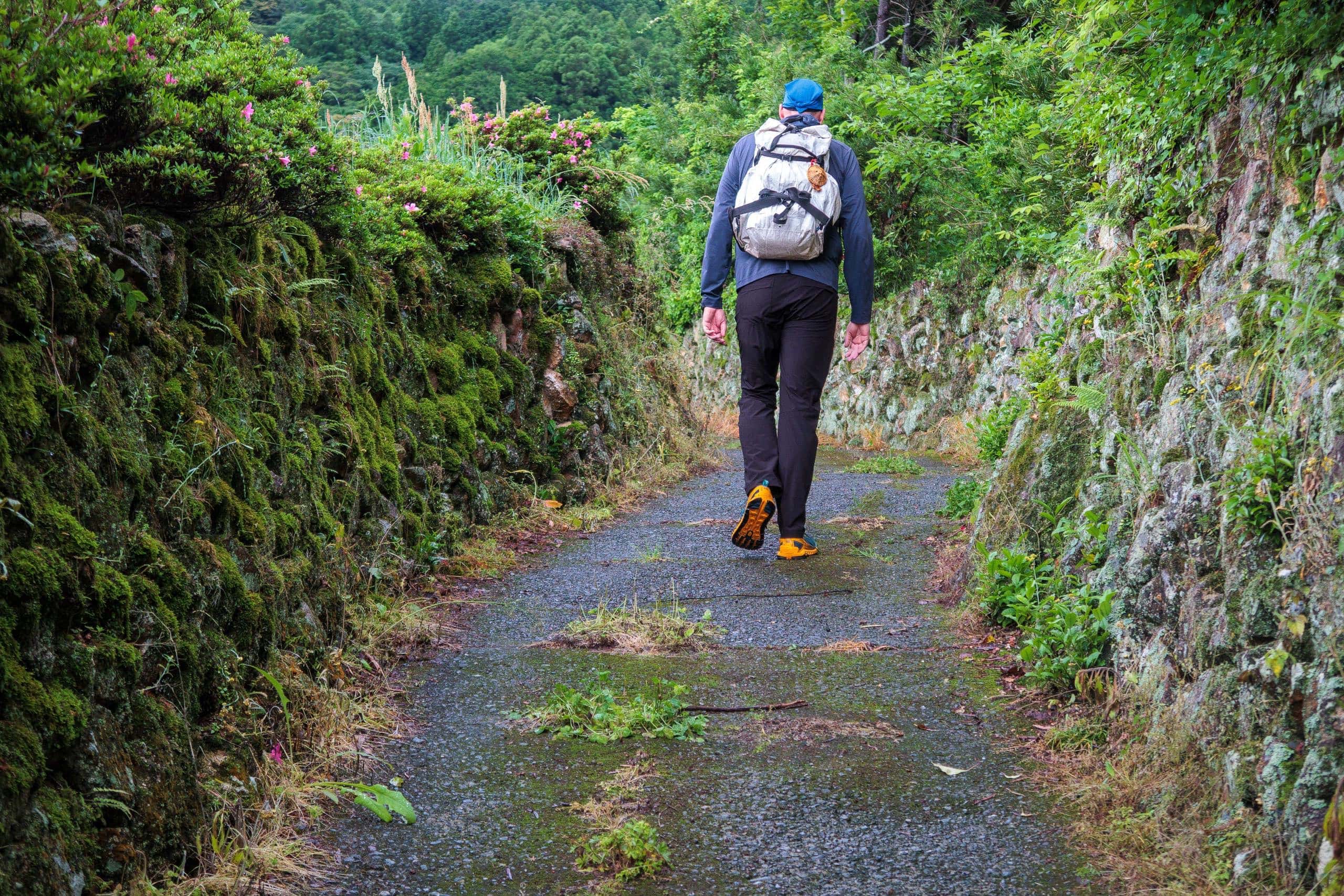
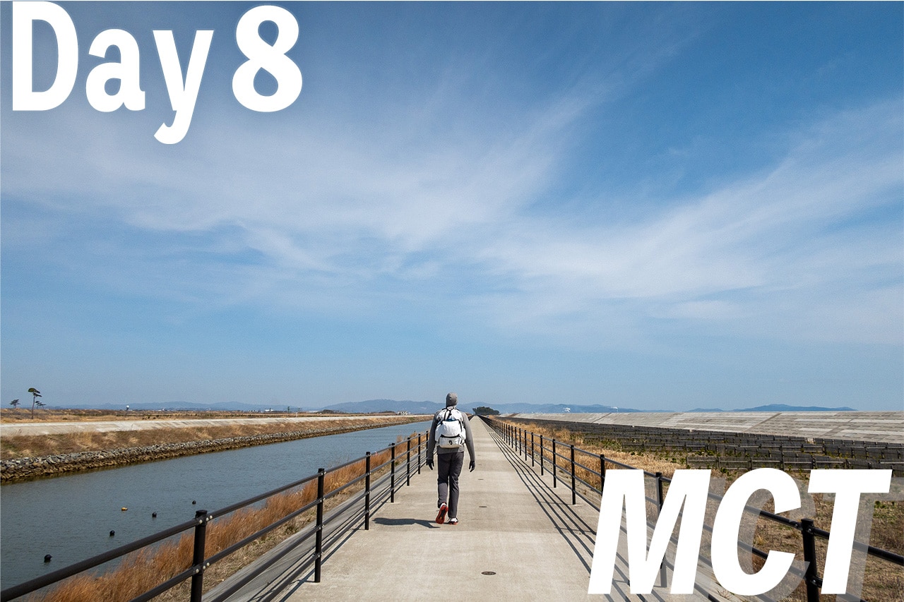
A Familiar Trail, A Fresh Start
Day 20 of our Shikoku Pilgrimage walk felt special in many ways.
With all the administrative details for Erik’s visa extension and our move finally settled, nothing stood in the way anymore. From here on, there would be no more complicated back-and-forth travel — our route could finally unfold as one continuous line.
In a way, today marked the true beginning of our Shikoku Pilgrimage thru-hike.
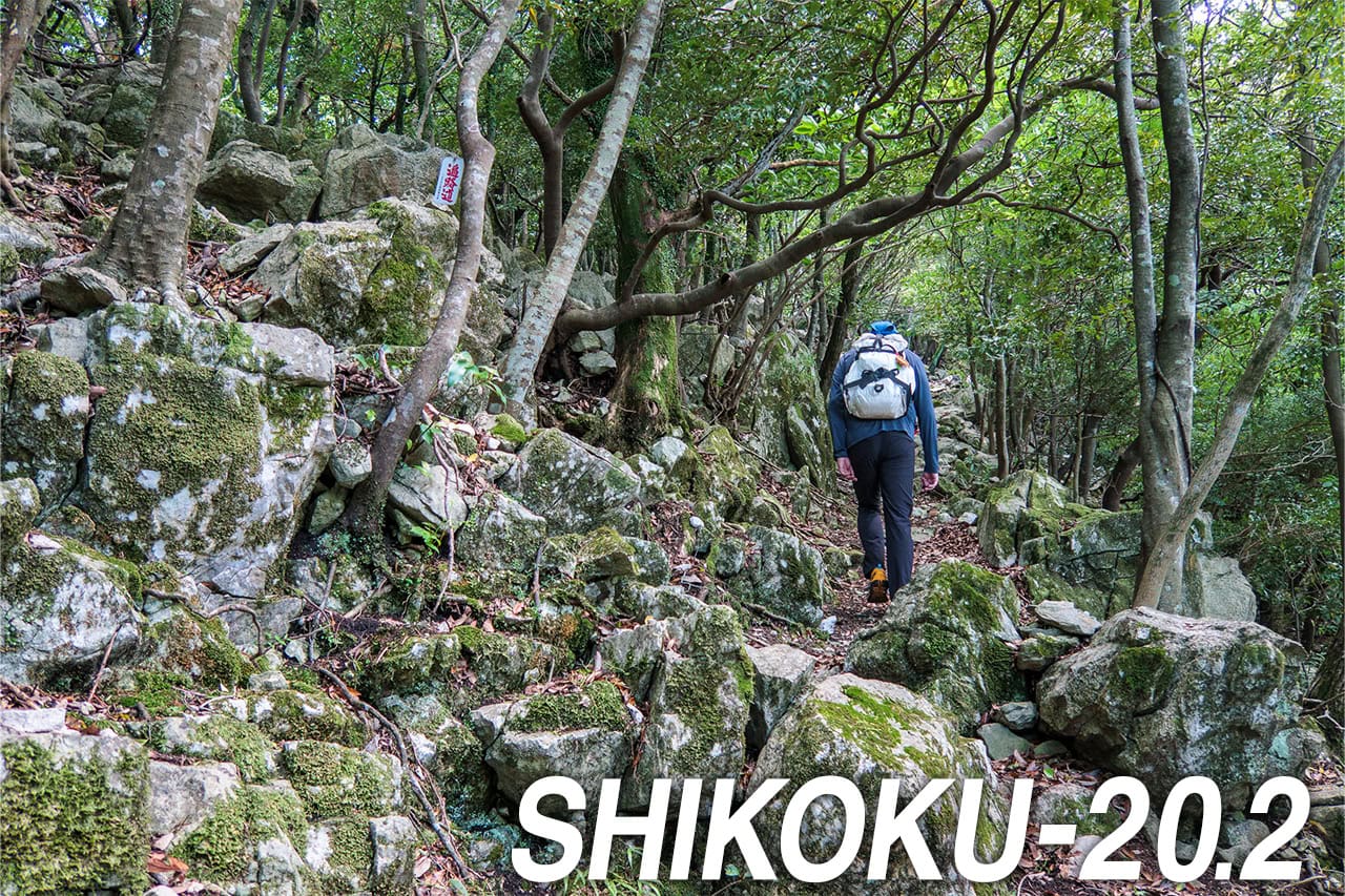
The trails around T20 鶴林寺 and T21 太龍寺 were also deeply meaningful to us.
These are considered some of the toughest sections on the entire Shikoku route, often compared to the T12 trail for their steep climbs and beautiful scenery. But for us, these paths mean much more than that.
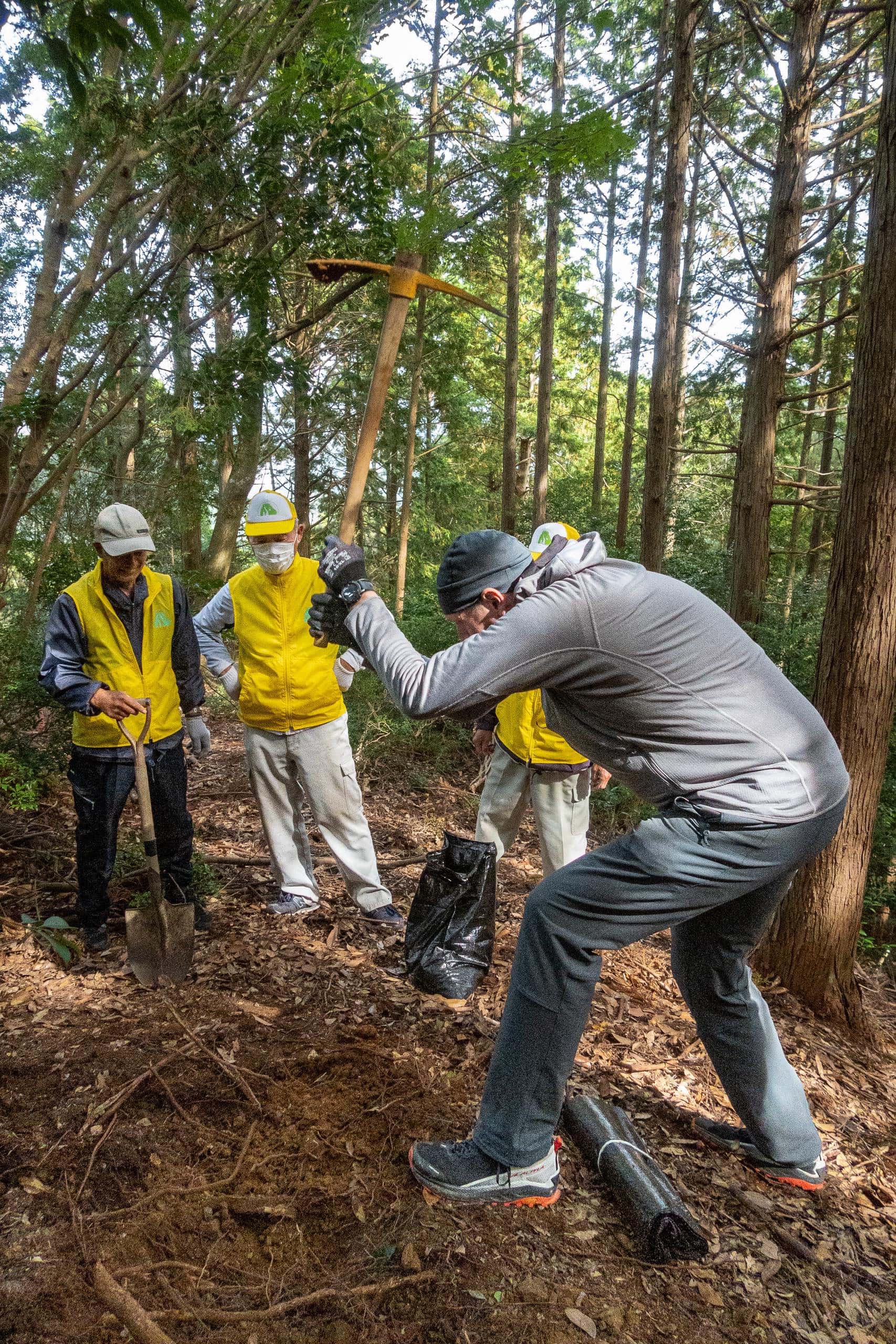
This is the very area where we lived for several years and helped maintain the trails every spring and fall — sometimes even in summer — with a local volunteer group.
We have countless good memories here. If someone asked us which temple is our favorite of all 88, we’d answer T21 without hesitation. Just knowing that we wouldn’t walk these familiar paths for a while made us — especially Masako — emotional.
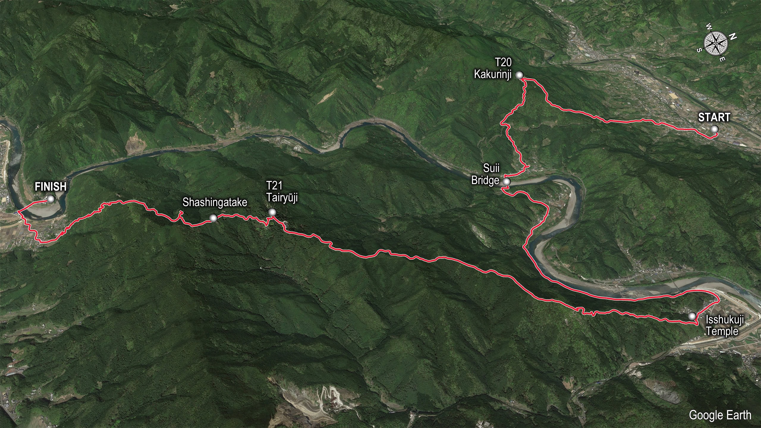
The six mountain trails to T21
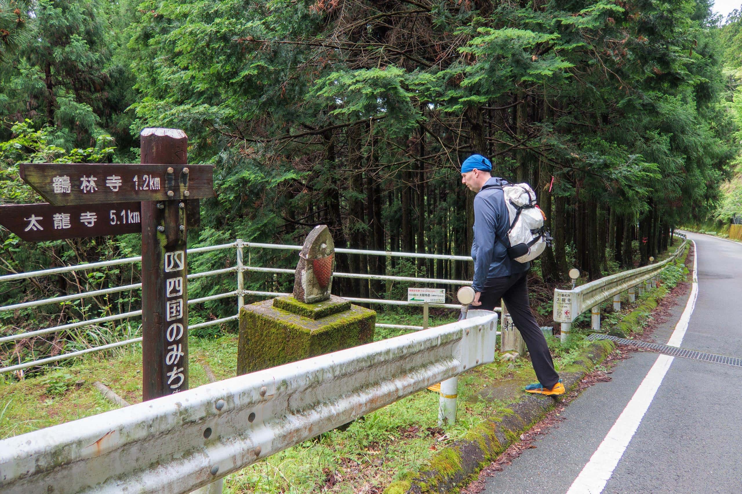
To say a proper goodbye, we planned to walk four of the six classic routes around T21 (plus note the ropeway):
- Tairyuji-michi 太龍寺道 – the regular route
- Kamo-michi かも道
- Car/Bike road to the parking lot
- Iwaya-michi いわや道
- Nakayama-michi 中山道
- Kitaji-michi 北地道
- Tairyuji Ropeway 太龍寺ロープウェイ (not a trail, but an option)
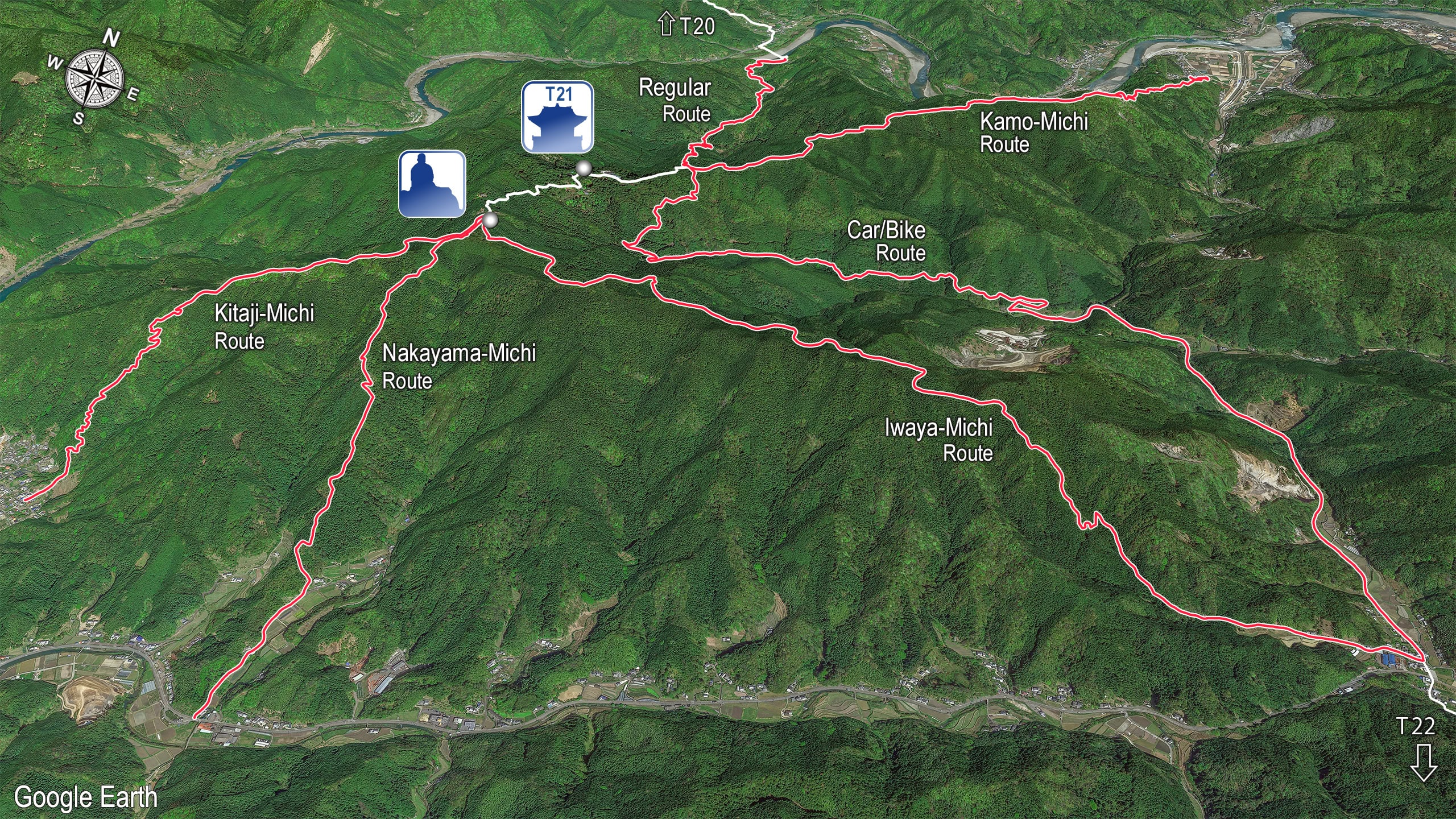
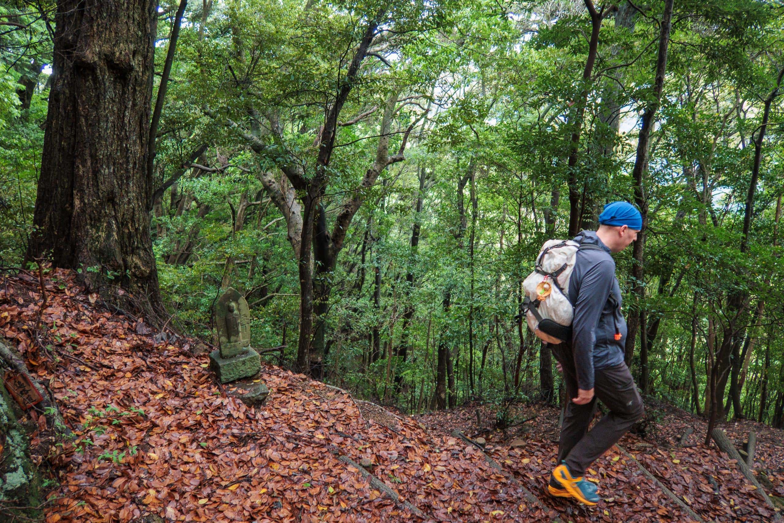
There are a couple more paths only local elders and hunters know. Even among the six, Nakayama-michi and Kitaji-michi are rarely walked today.
The common modern line goes like this: cross Suii Bridge 水井橋 over the Nakagawa River 那賀川, follow the beautiful gorge and thousands of stone steps up Tairyuji-michi to T21. After visiting the temple, many pilgrims used to backtrack a bit and descend the narrow concrete forest road. Lately, more people visit the cliffside Shashingatake 舎心ヶ嶽 (where Kobo Daishi meditated) and continue on the Iwaya-michi ridge for 4.5 km.
Even that “shortest” combination is a challenge if you try to reach T22 from T20 in one day: you climb and descend two 500-meter-class passes (plus another smaller one), with no shops for food along the way.
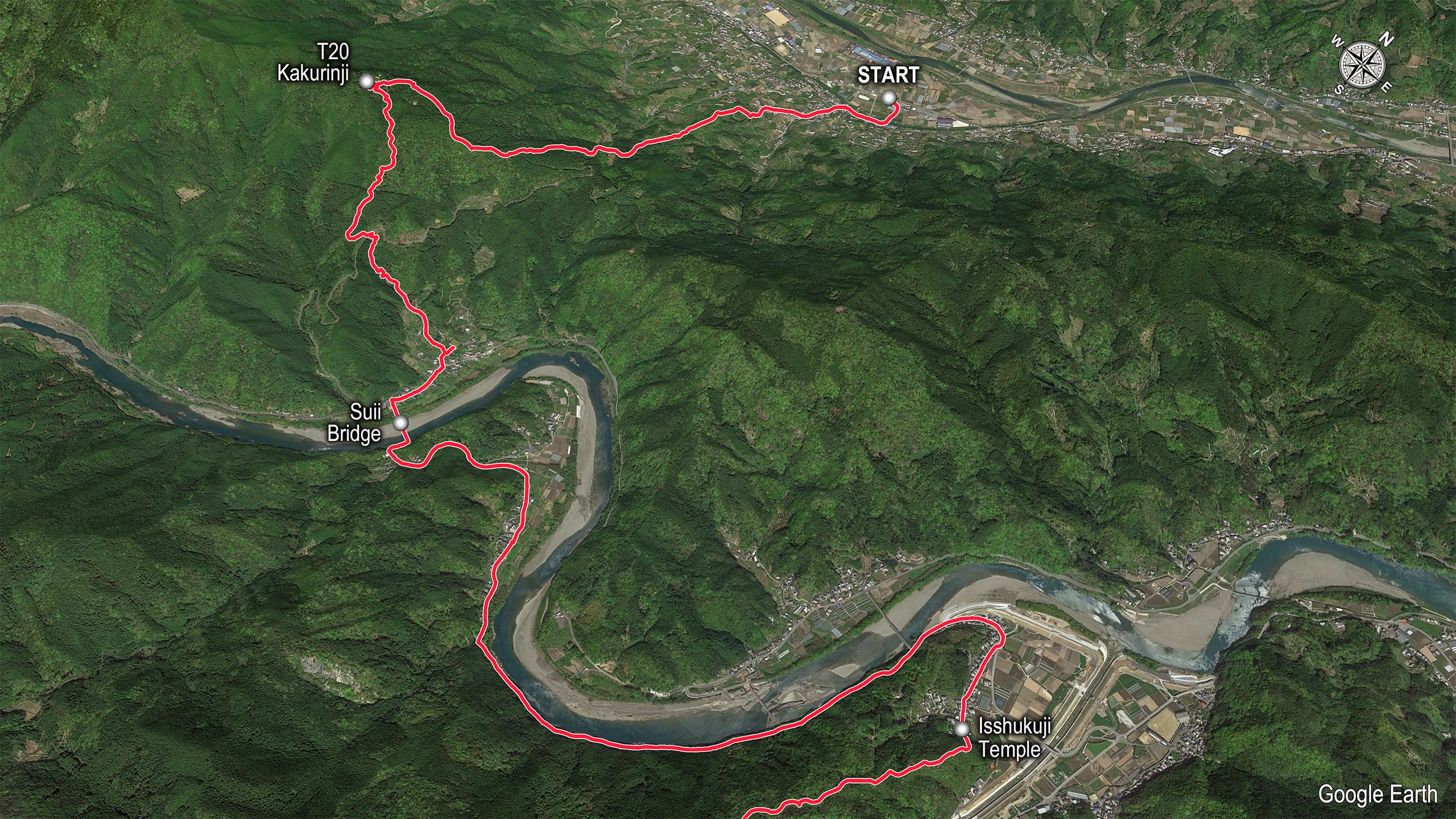
Our original plan was more ambitious — some might say reckless:
- Climb up and down the first T20 mountain, then cross Suii Bridge.
- Skip Tairyuji-michi and instead follow the narrow road through Suii 水井町 about 3 km down the Nakagawa to Isshukuji 一宿寺, trailhead of Kamo-michi.
- Climb T21 via Kamo-michi.
- Visit T21 and the sacred Shashingatake.
- Descend by the little-known Kitaji-michi to Michi-no-Eki Washinosato 道の駅 鷲の里.
- Walk ~4 km east on the car road to Jifukuin 地福寺, trailhead of Nakayama-michi, then climb back up T21.
- From Nakayama-michi, connect to Iwaya-michi near Shashingatake and make the final descent to Asebi 阿瀬比.
- Tackle one last lower pass, Ohne-toge 大根峠, to reach T22.
Sounds a little crazy, right? It meant going up and down T21 twice. Unless we were ultra-fast trail runners without heavy packs, finishing in one day was impossible. The only way this plan could work was if we secured a room at Sowaka, the lodging at Michi-no-Eki Washinosato.
In an earlier post I mentioned Sowaka wasn’t available on the night we needed (Golden Week). That was one reason for the odd back-and-forth shuttling during this period.
So — here’s how our walk actually unfolded. Fair warning: it’s a long story.
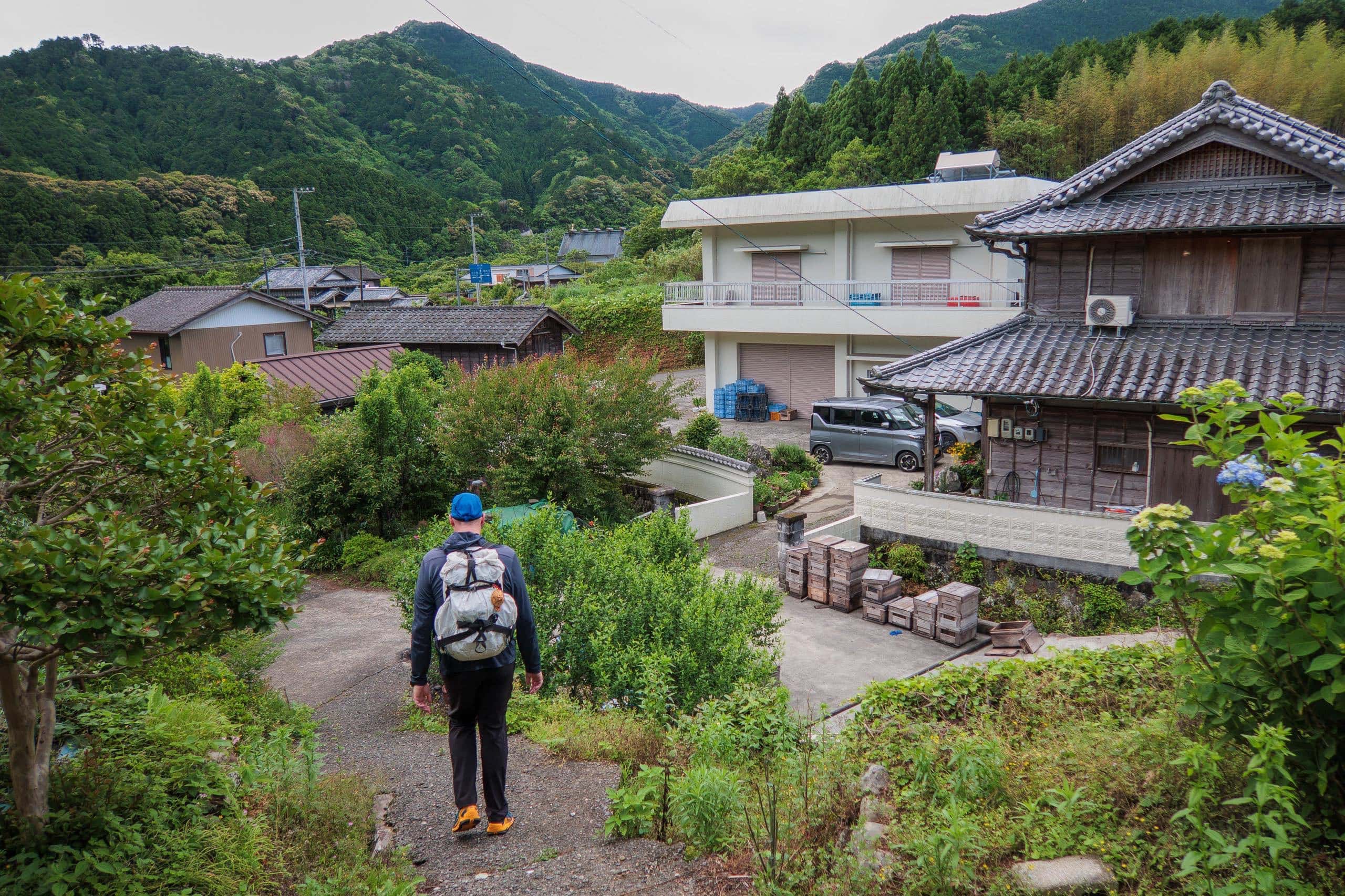
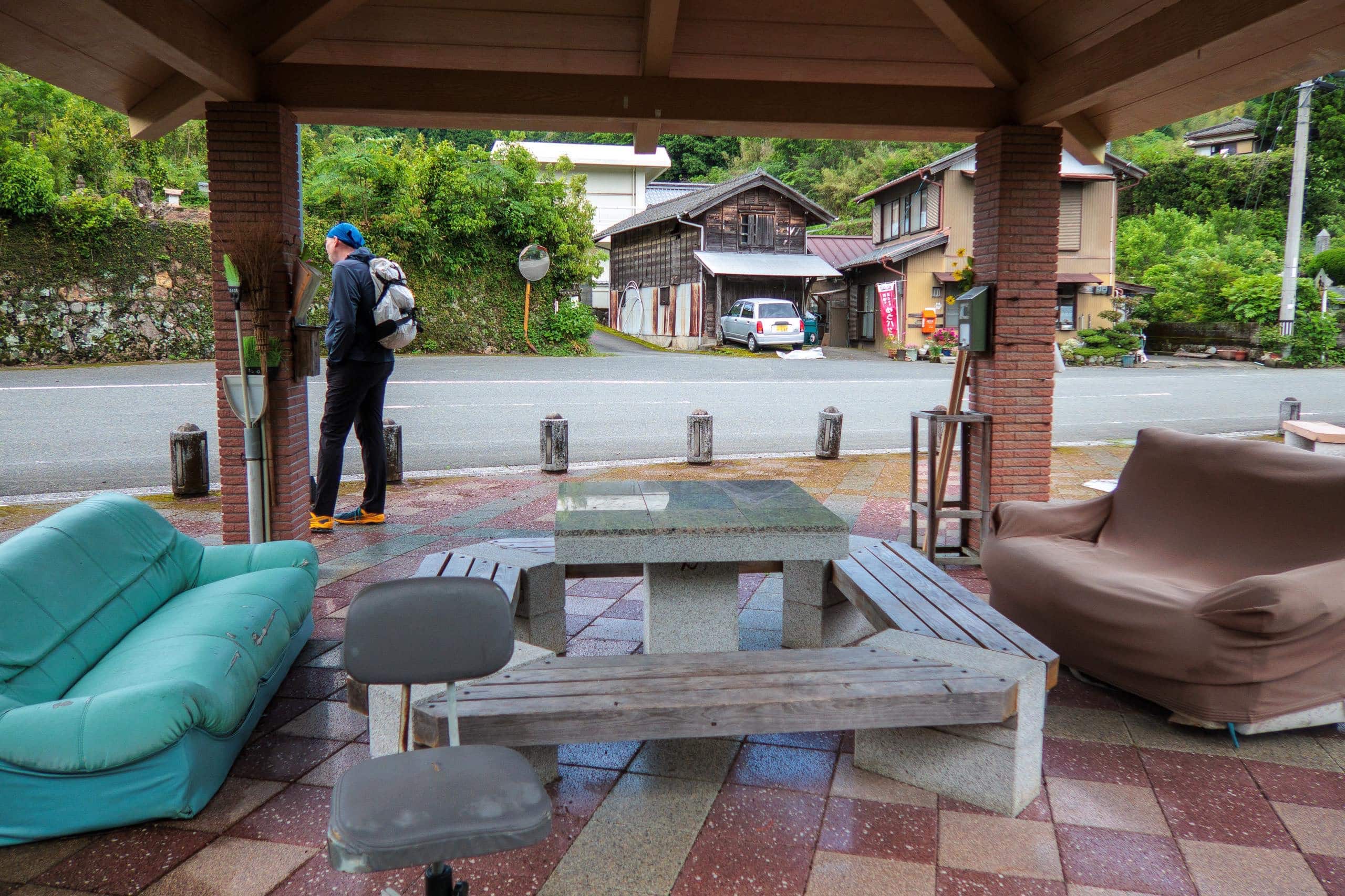
We left Sakamoto ふれあいの里さかもと early in the morning by their shuttle with other pilgrims. After a few “see you soon” visits, this time we knew it was a real goodbye.
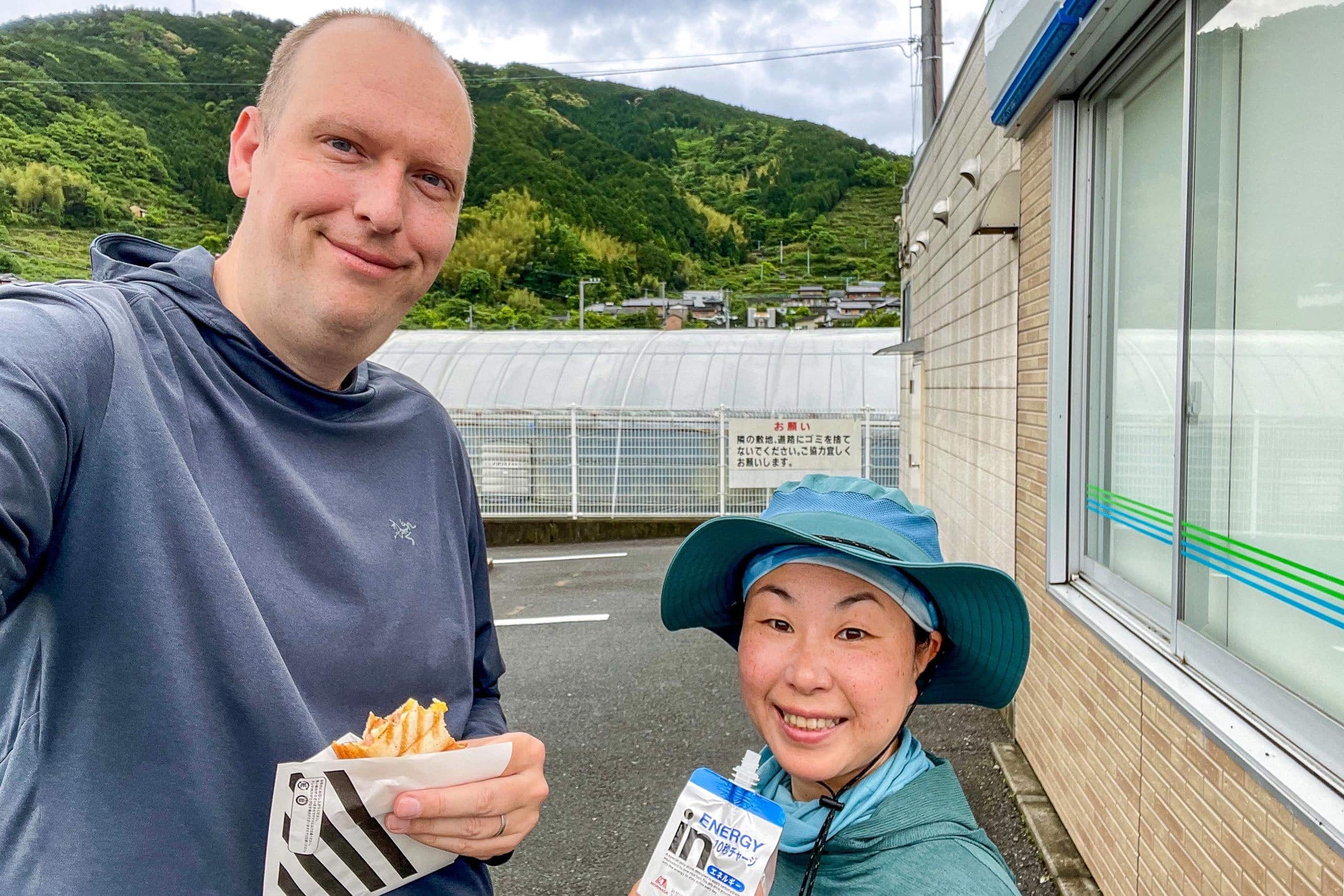
While the others headed straight toward T20, we stopped at a convenience store near Michi-no-Eki Hinanosato to pick up food for today and tomorrow and eat a quick breakfast outside.
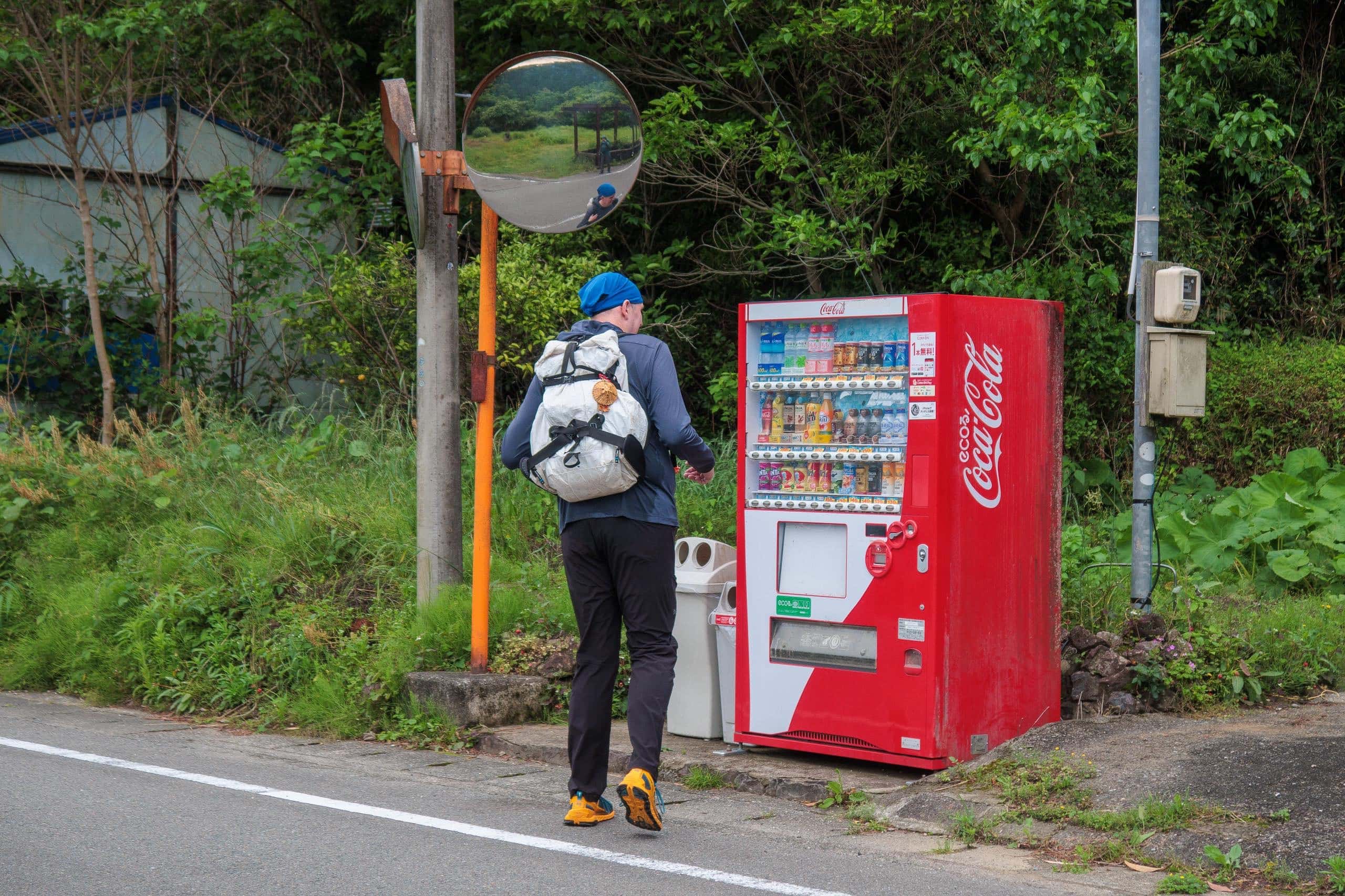
Dinner and breakfast would be served at Sowaka. We don’t eat much while walking; instead we refuel at vending machines with sugary drinks. This time we added energy bars, small bags of chocolate, and gummies to keep us going.
Food, Water, and Luggage Services for T20-T21-T22
Take this part seriously — this is one of the most important supply stretches on the entire pilgrimage.
Food Supply
After the convenience store near Michi-no-Eki Hinanosato, there are no convenience stores or grocery shops until T23, which lies more than 20 kilometers beyond T22.
If you don’t mind making small detours, there are two limited options:
- A Michi-no-Eki in Asebi village, between the Iwaya-michi and Ohne-toge trails, which has a small udon restaurant.
- A local grocery store just after T22.
However, neither is open 24 hours or seven days a week, so do not rely on them as your sole food source.
Hydration and Vending Machines
Unlike most Shikoku temples, T20 has no vending machines.
We’ve seen many walking pilgrims arrive there shocked, panting, and drenched in sweat after hours of climbing the steep approach — only to find no drinks available. I was one of them during my first solo pilgrimage in 2015.
At the first vending machine near the Suii Bridge, I literally fell to my knees, bought two bottles of sports drink, and drank them within seconds.
Thankfully, T21 does have vending machines — one at the stamp office and another at the ropeway station. Once you’re down from the mountains, you’ll start finding machines again here and there along the roads.
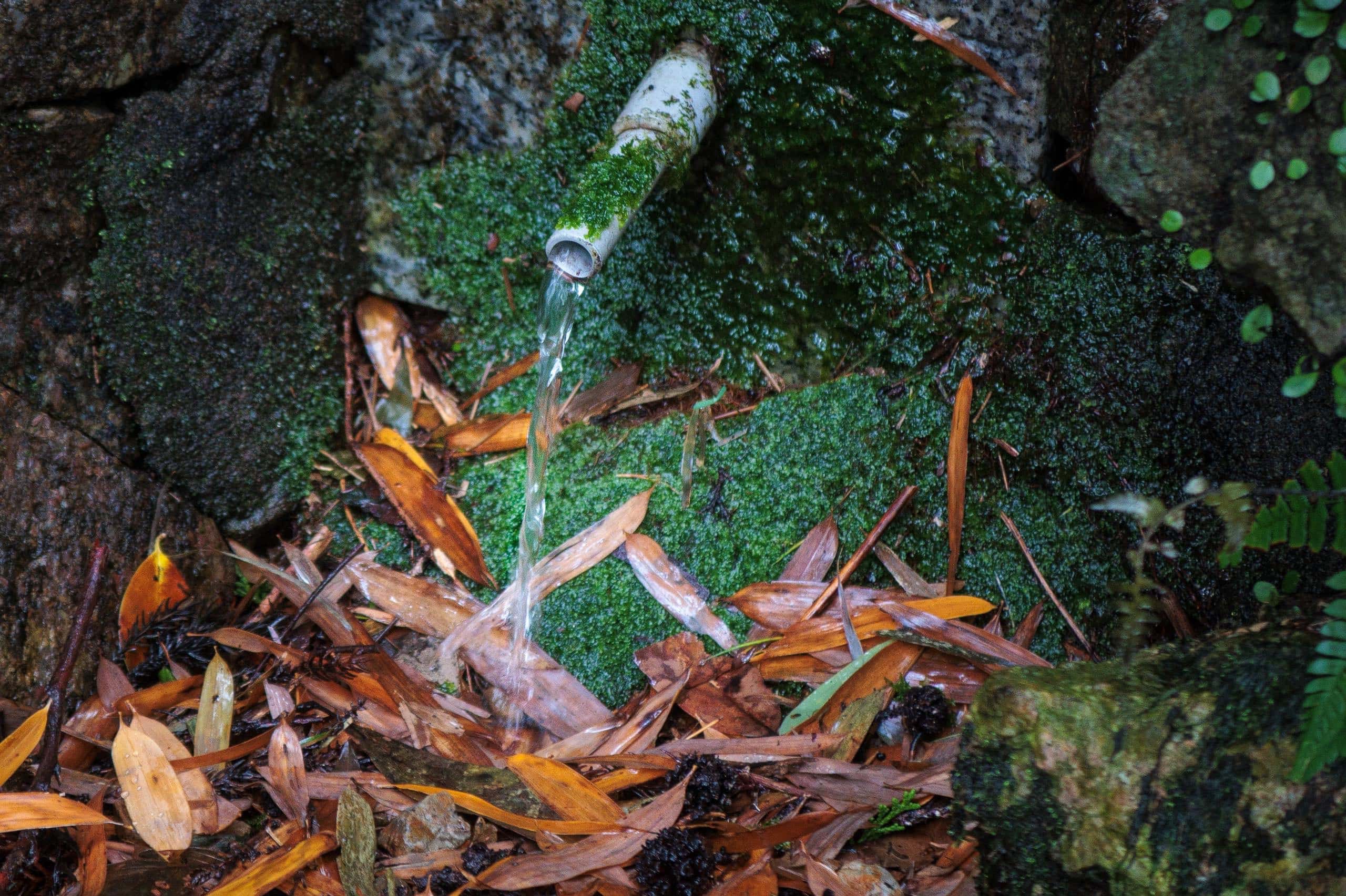
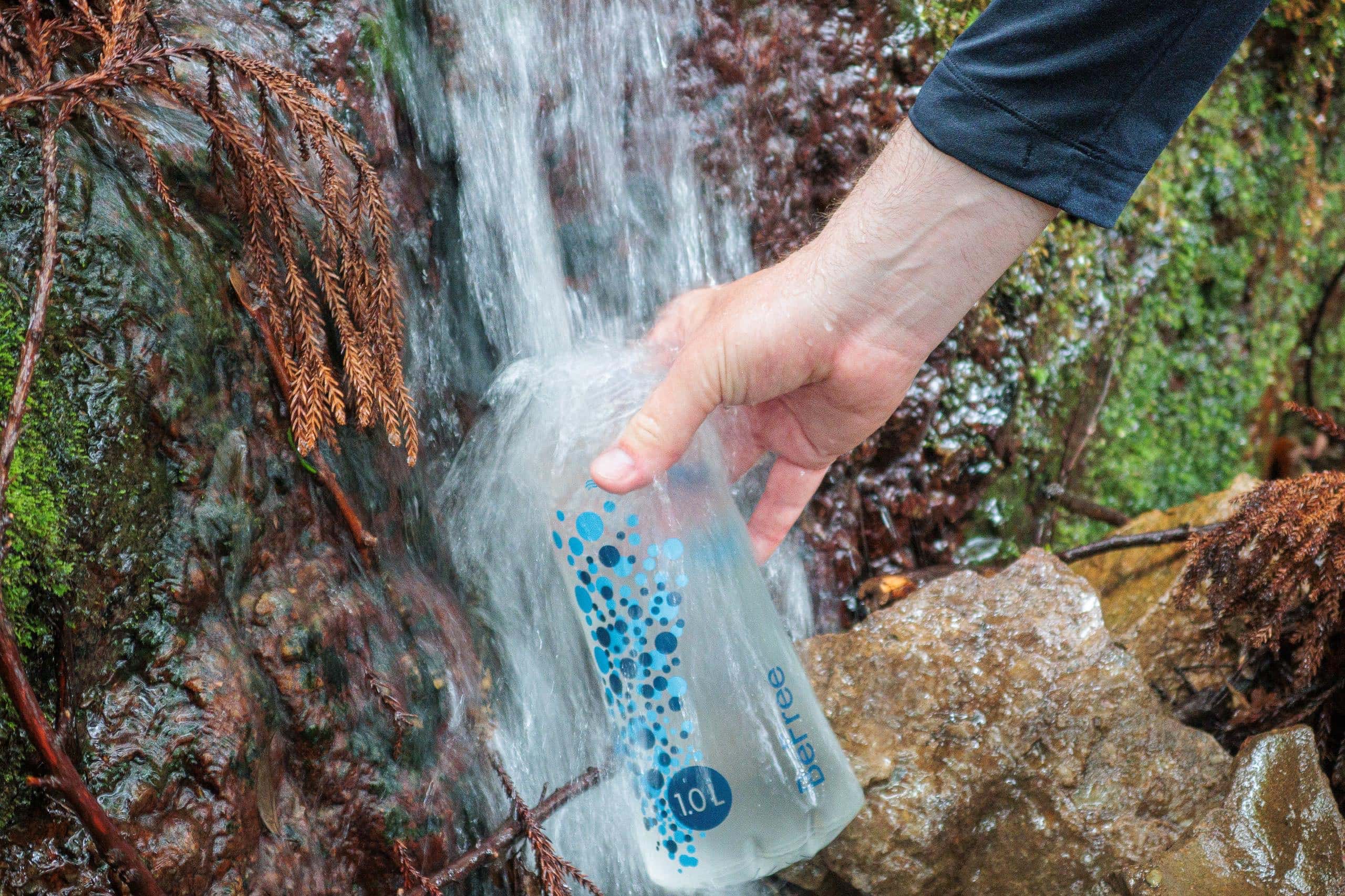
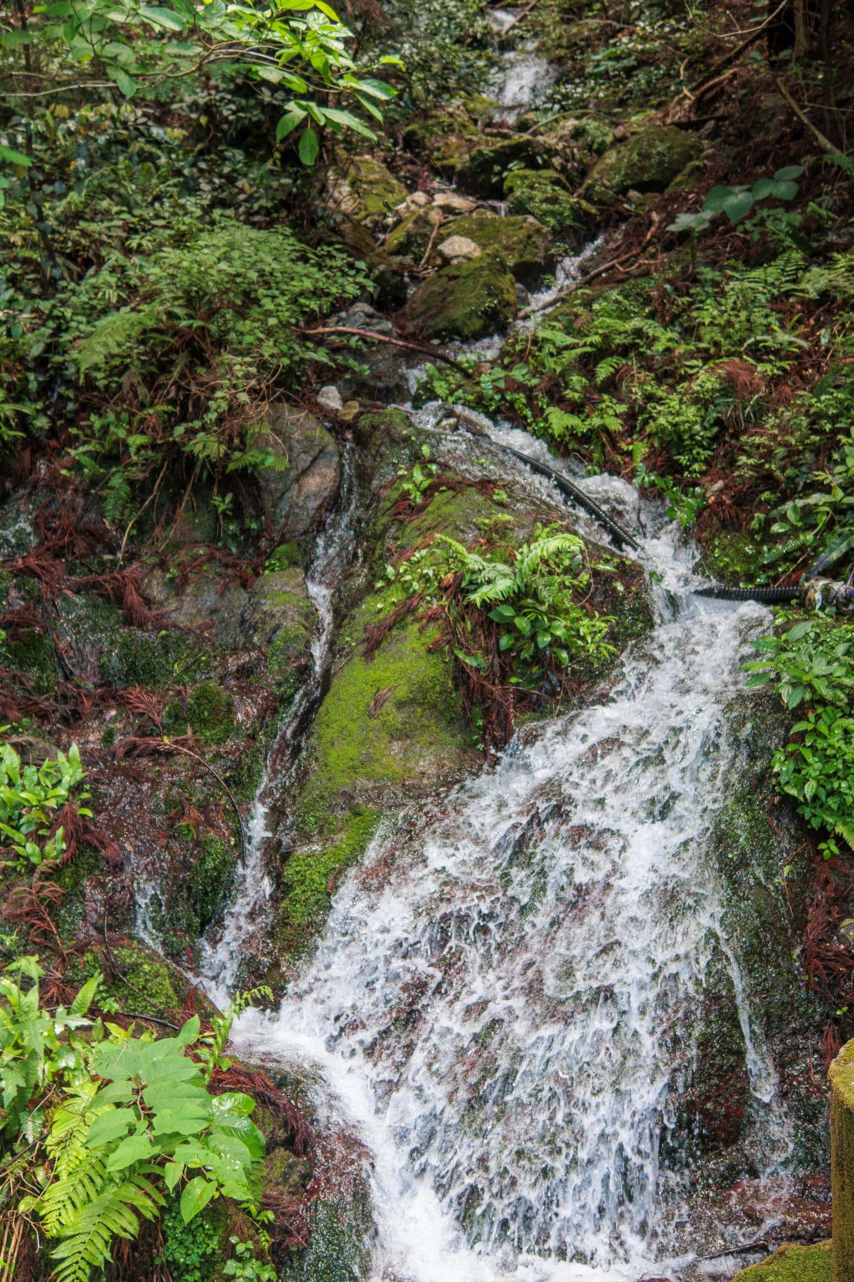
If you carry a water filter, your options expand. Small streams usually run year-round in these mountains, and T20 itself now has a new, large, and spotless restroom with running water.
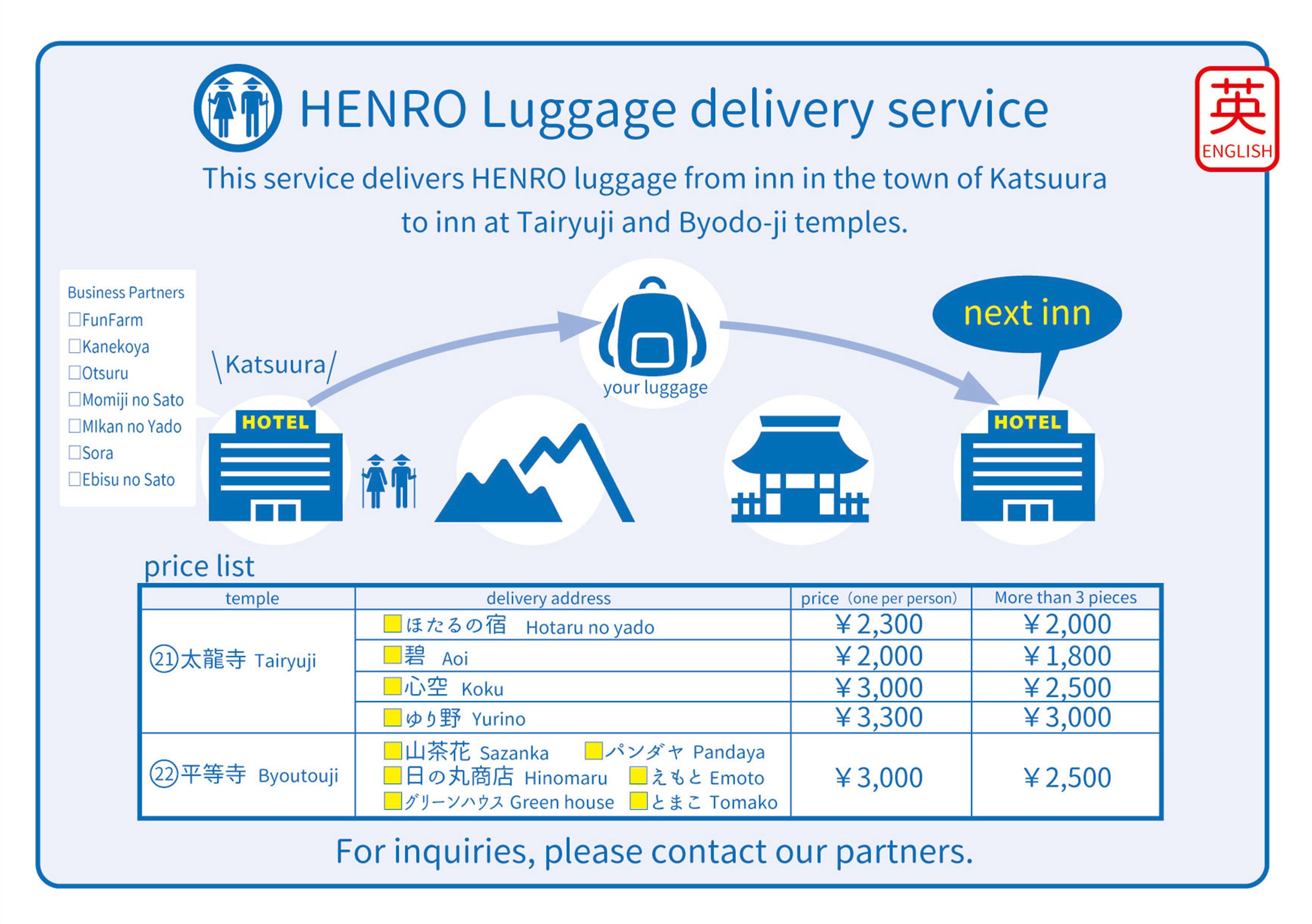
Luggage Transfer Service (Katsuura Town)
Katsuura Town offers a same-day luggage delivery service for pilgrims walking toward accommodations around T21 and T22.
- You must stay at one of the registered inns listed on the official chart and ask your host to arrange the service.
- The delivery service will not accept luggage from anyone who camped or stayed outside Katsuura (for example, near T19) the night before.
- They do not accept luggage without advance booking through one of the participating inns — so don’t drop by the tourist office or other facilities expecting to arrange it on the spot.
The price varies depending on the number of bags and destination (see chart).
The three accommodations listed as “T21 area” have different prices because they sit on completely different sides of the T21 mountain, several kilometers apart.
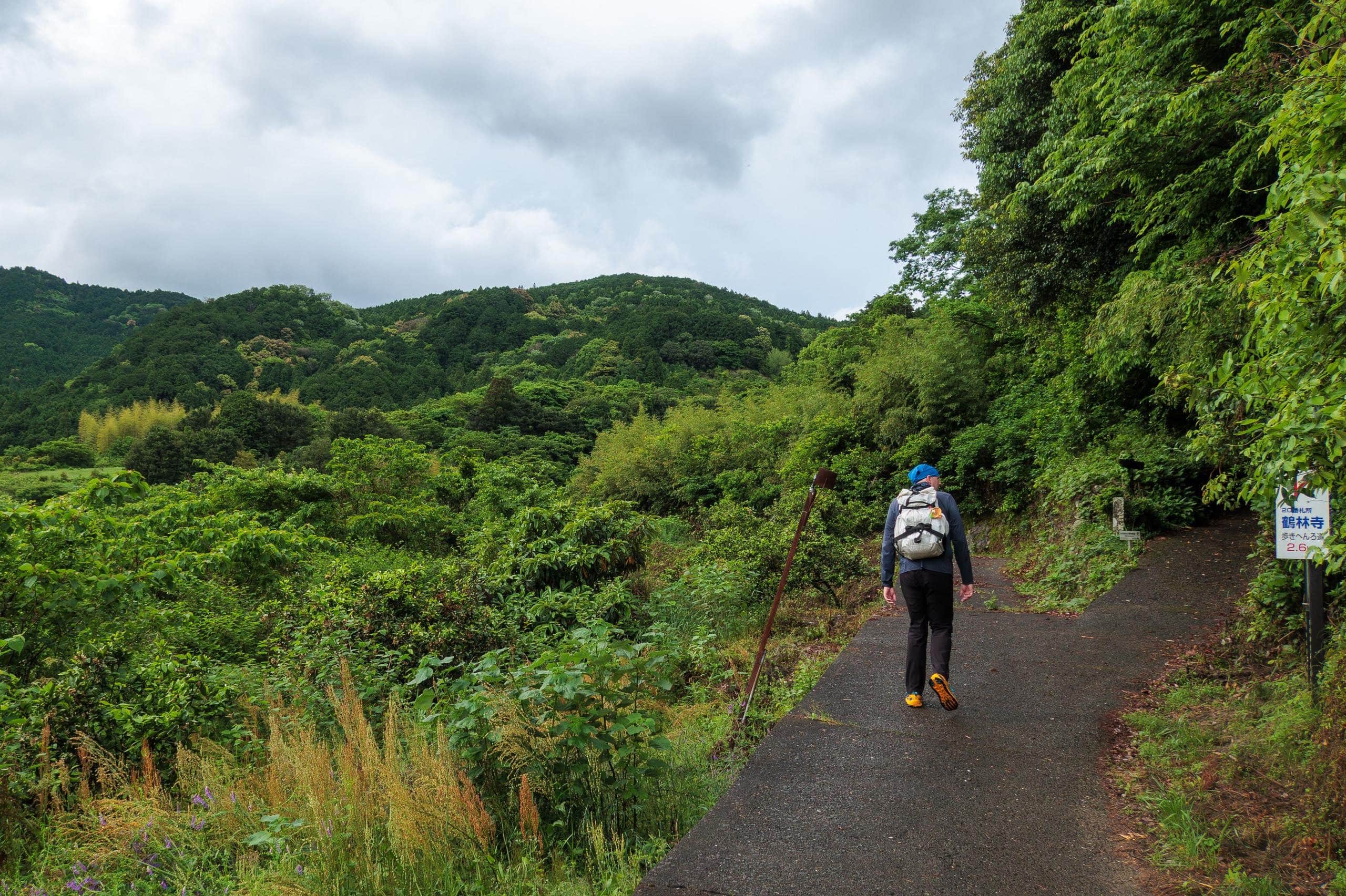
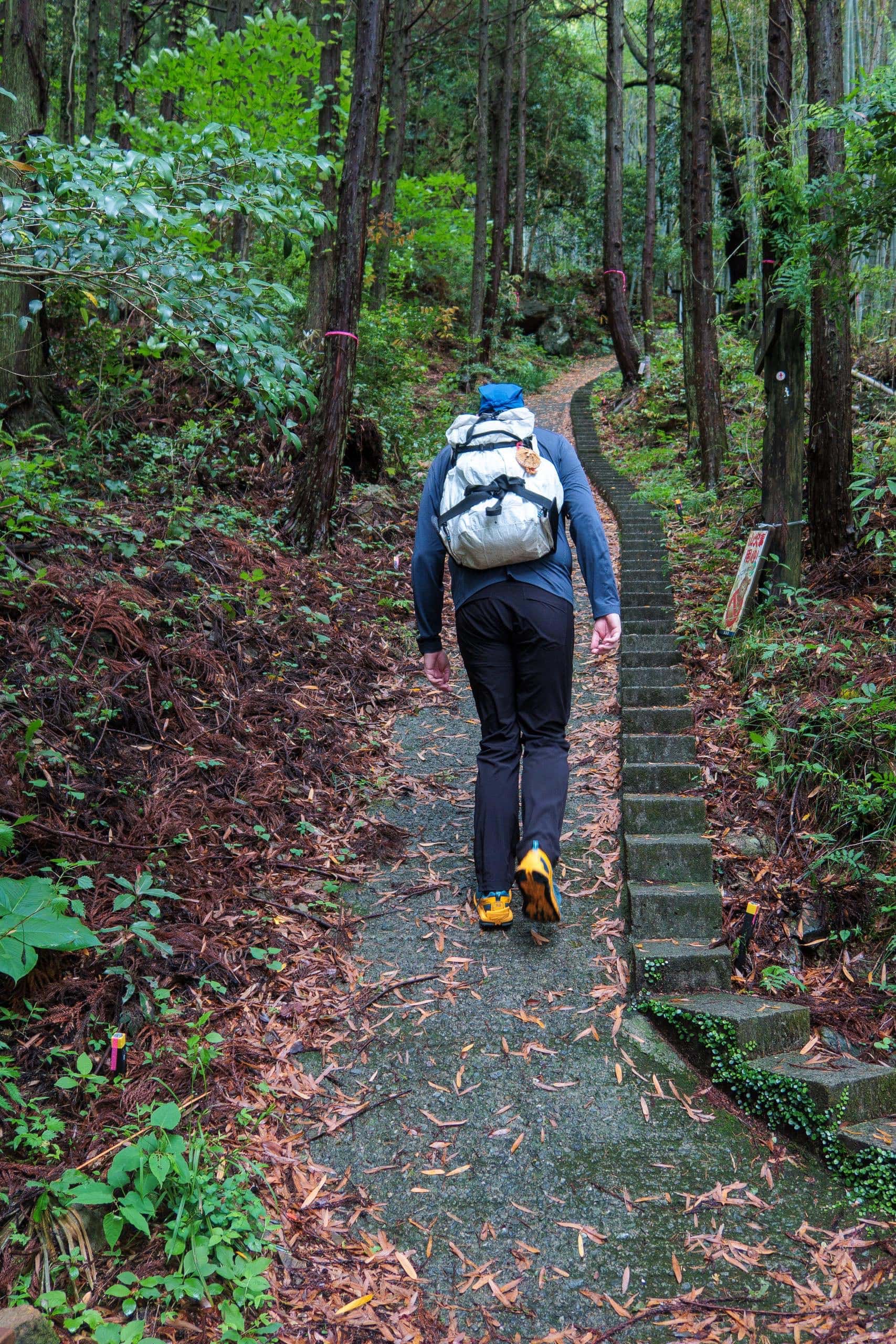
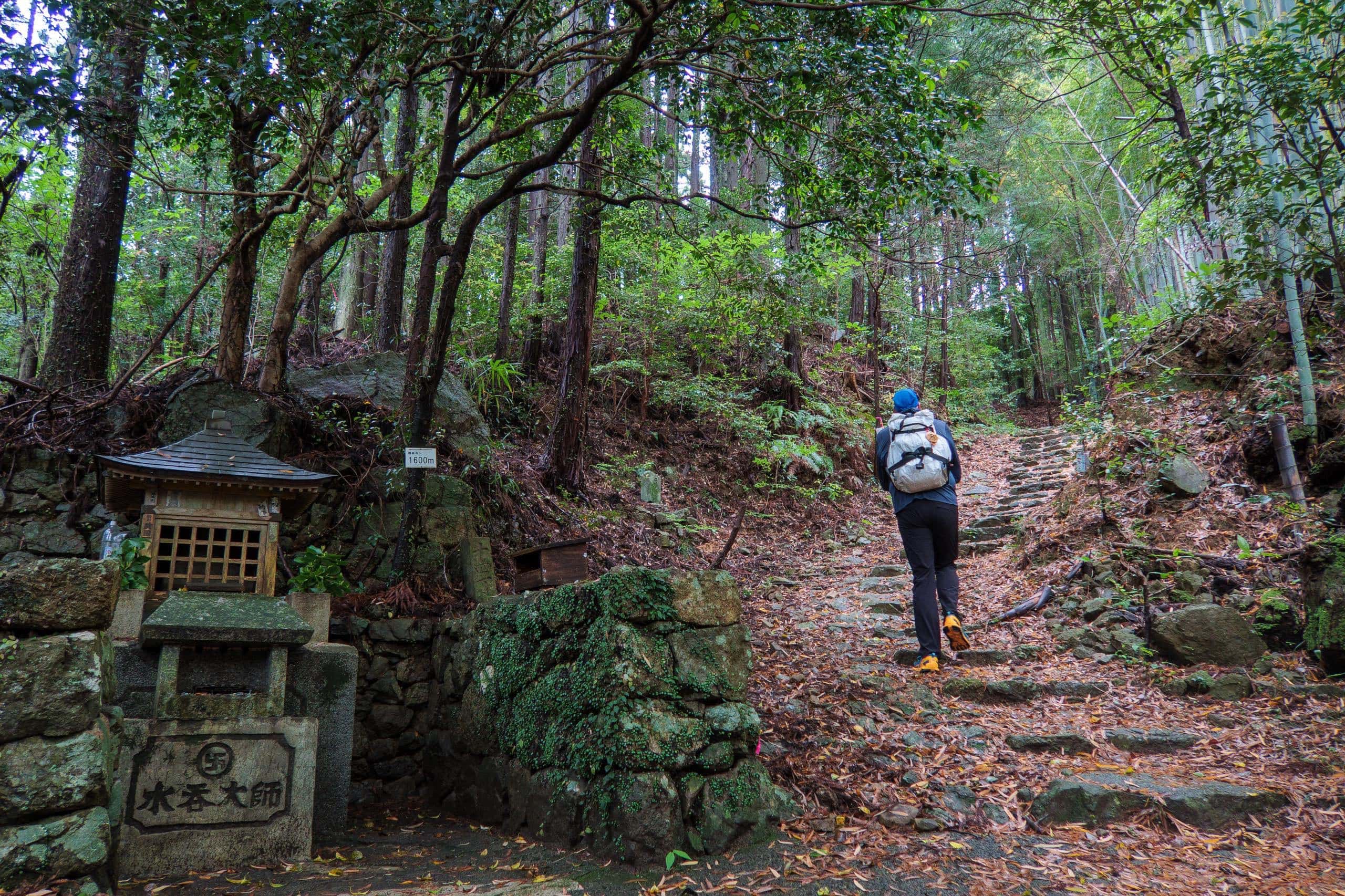
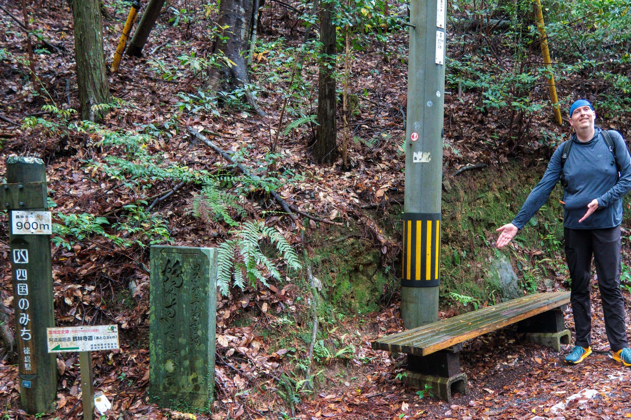
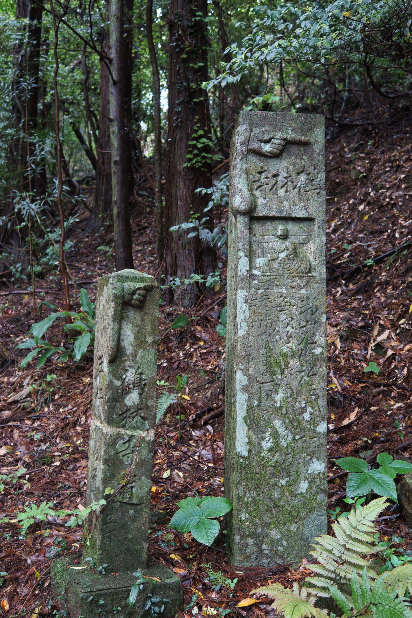
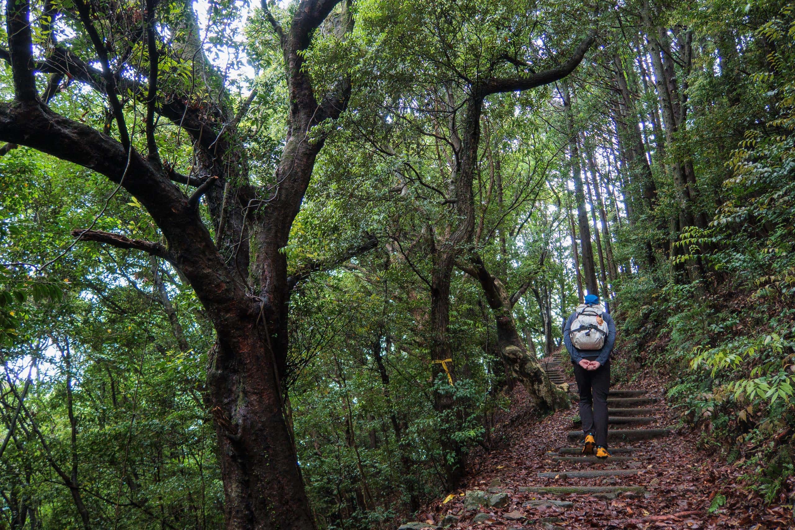
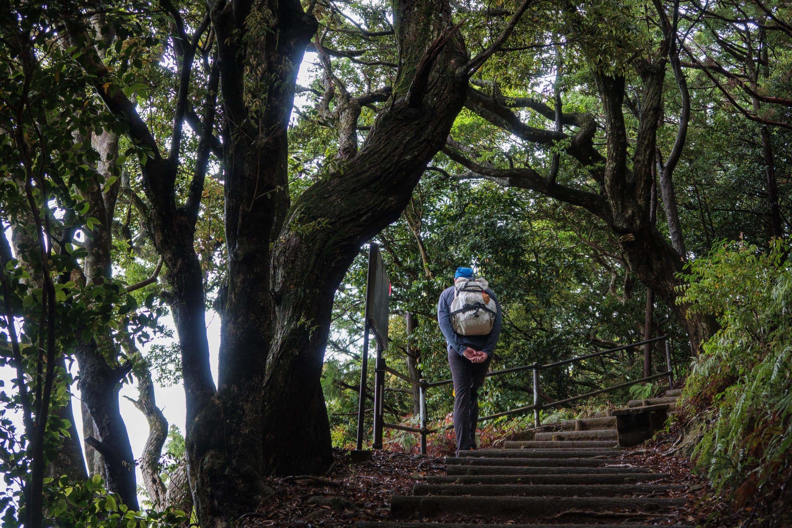
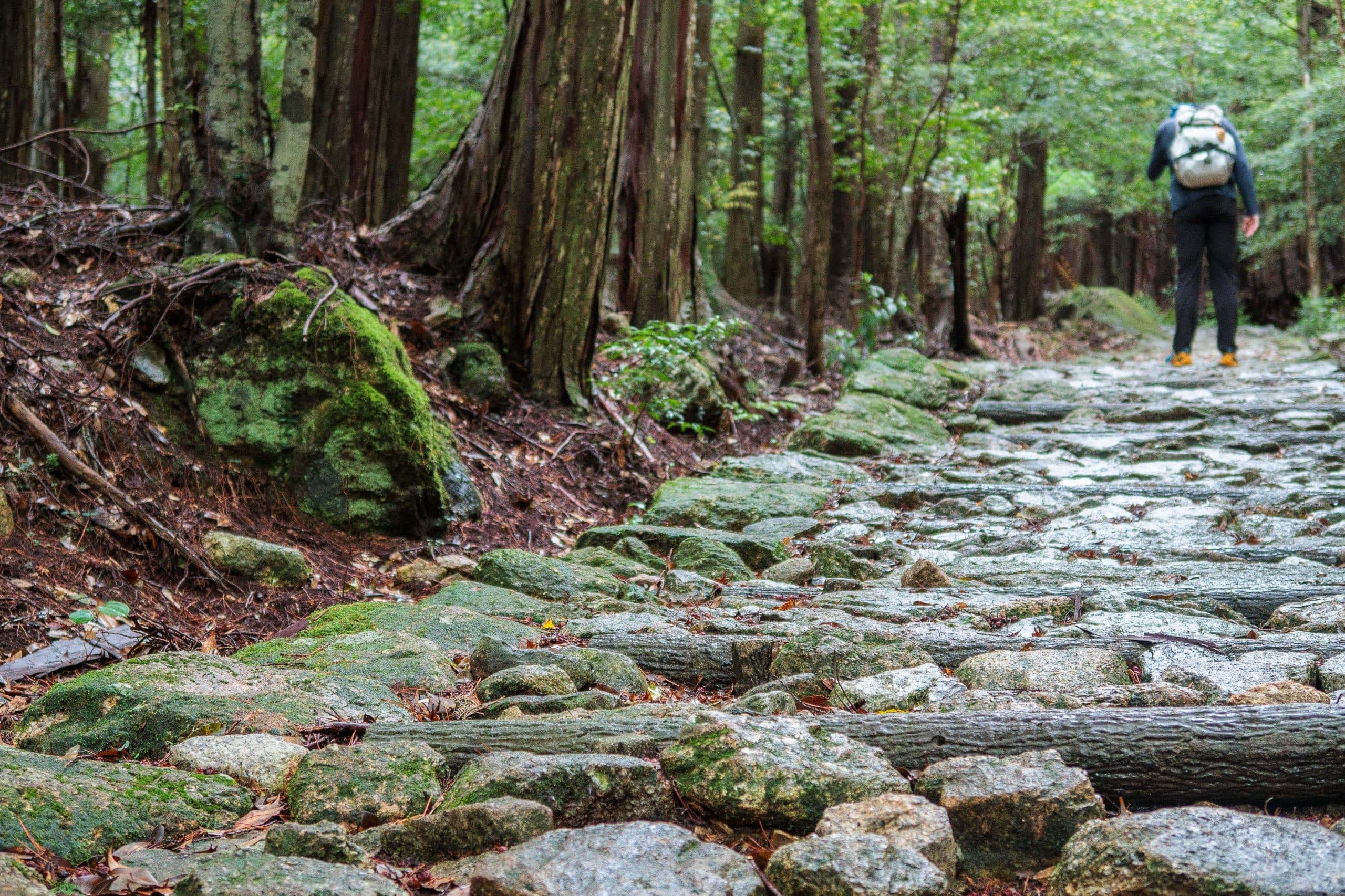
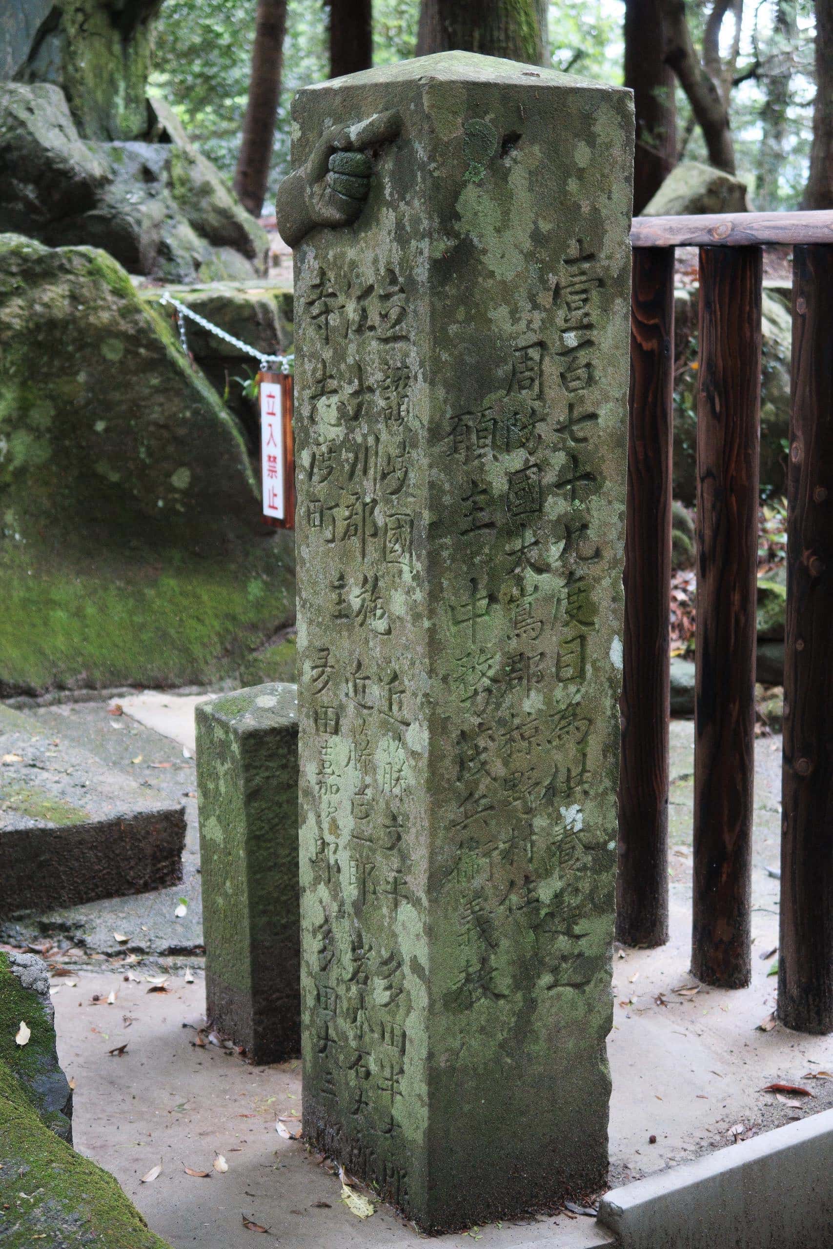
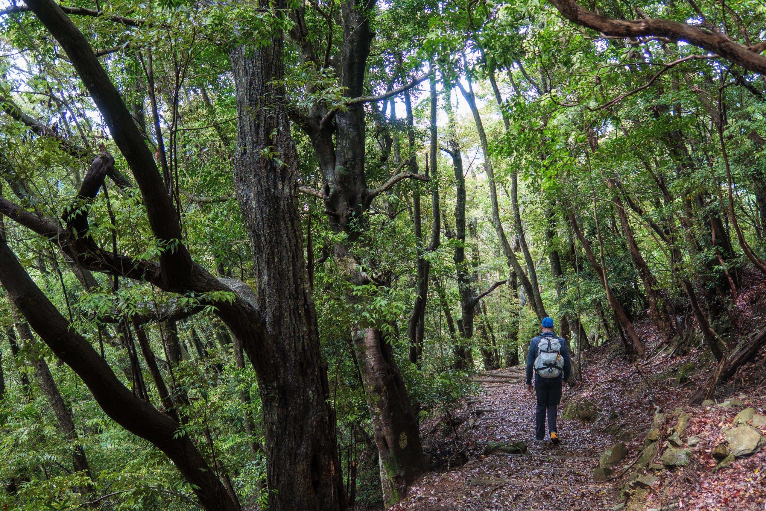
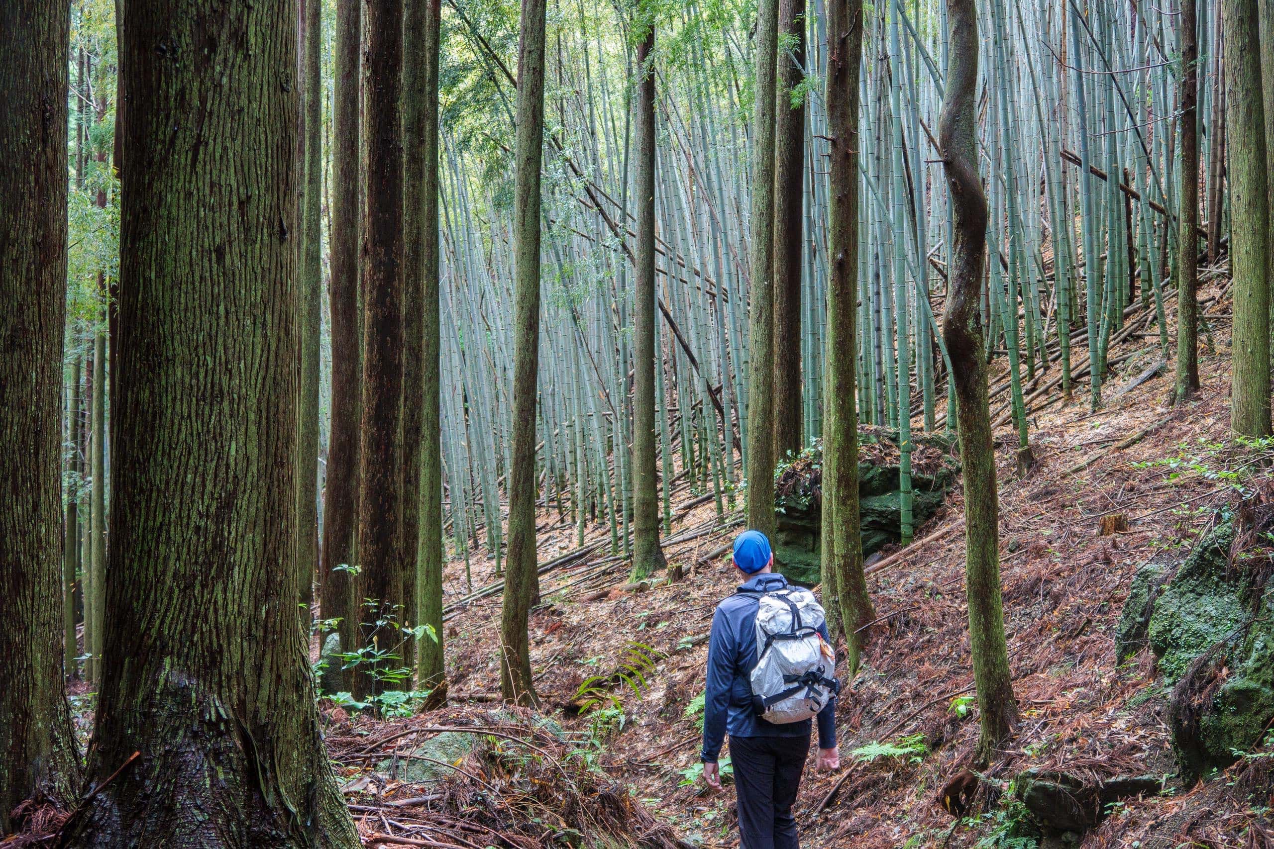
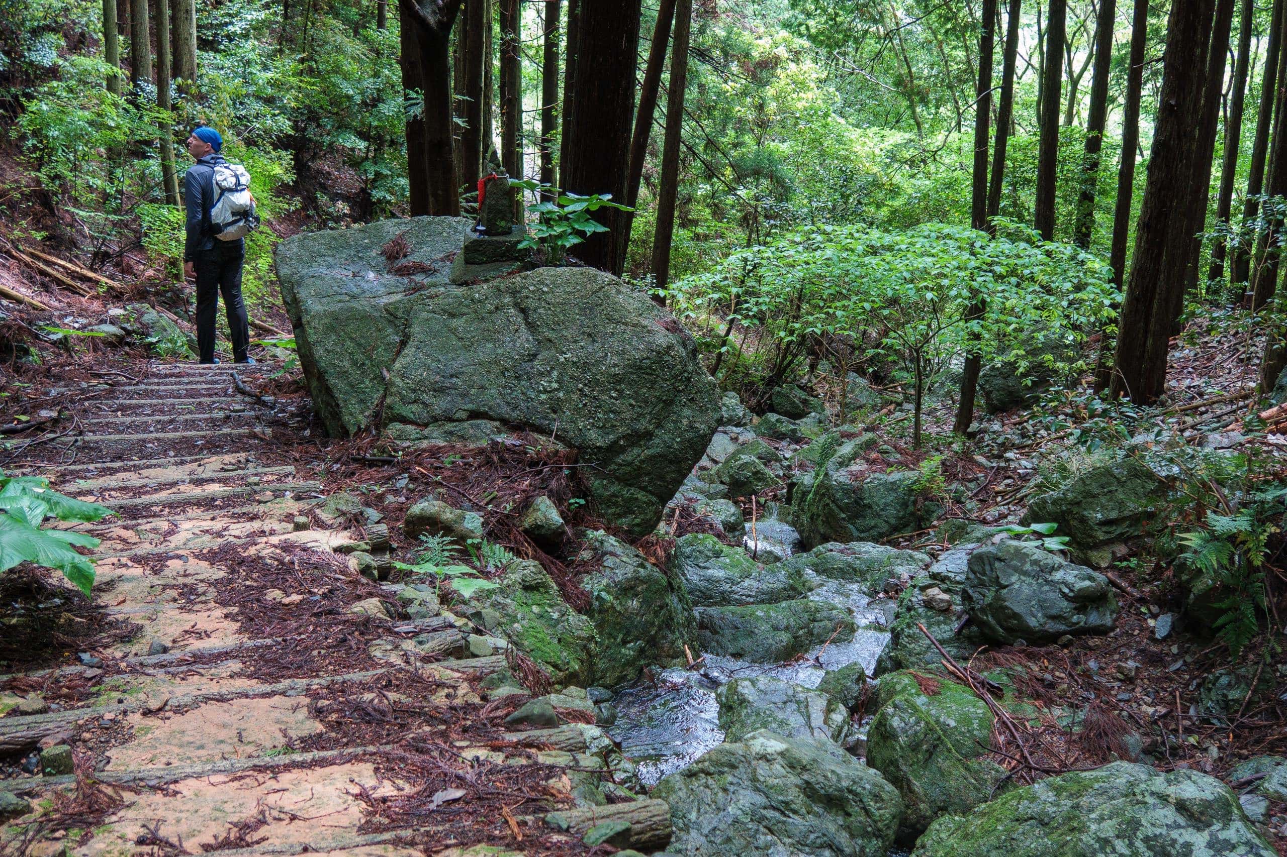
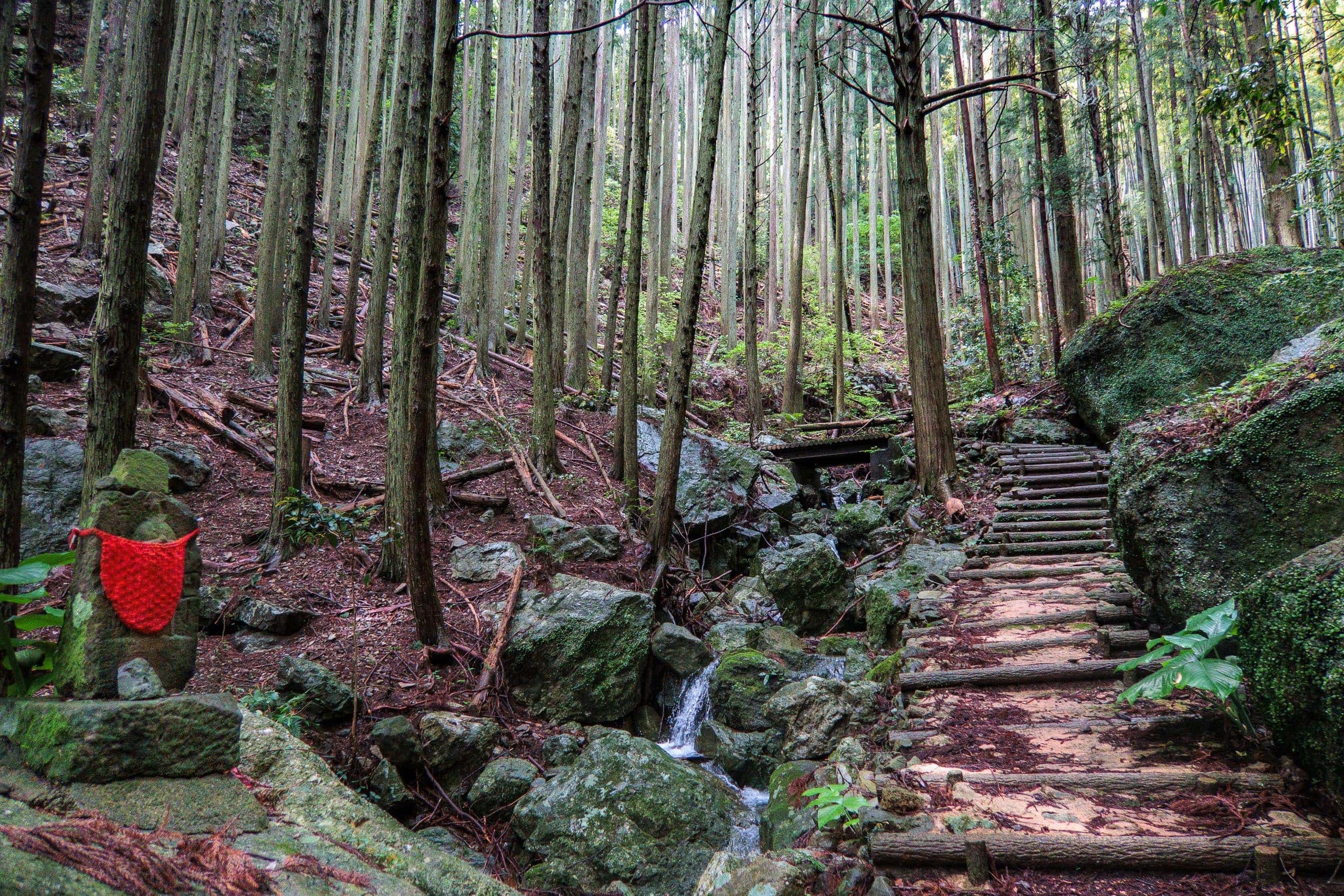
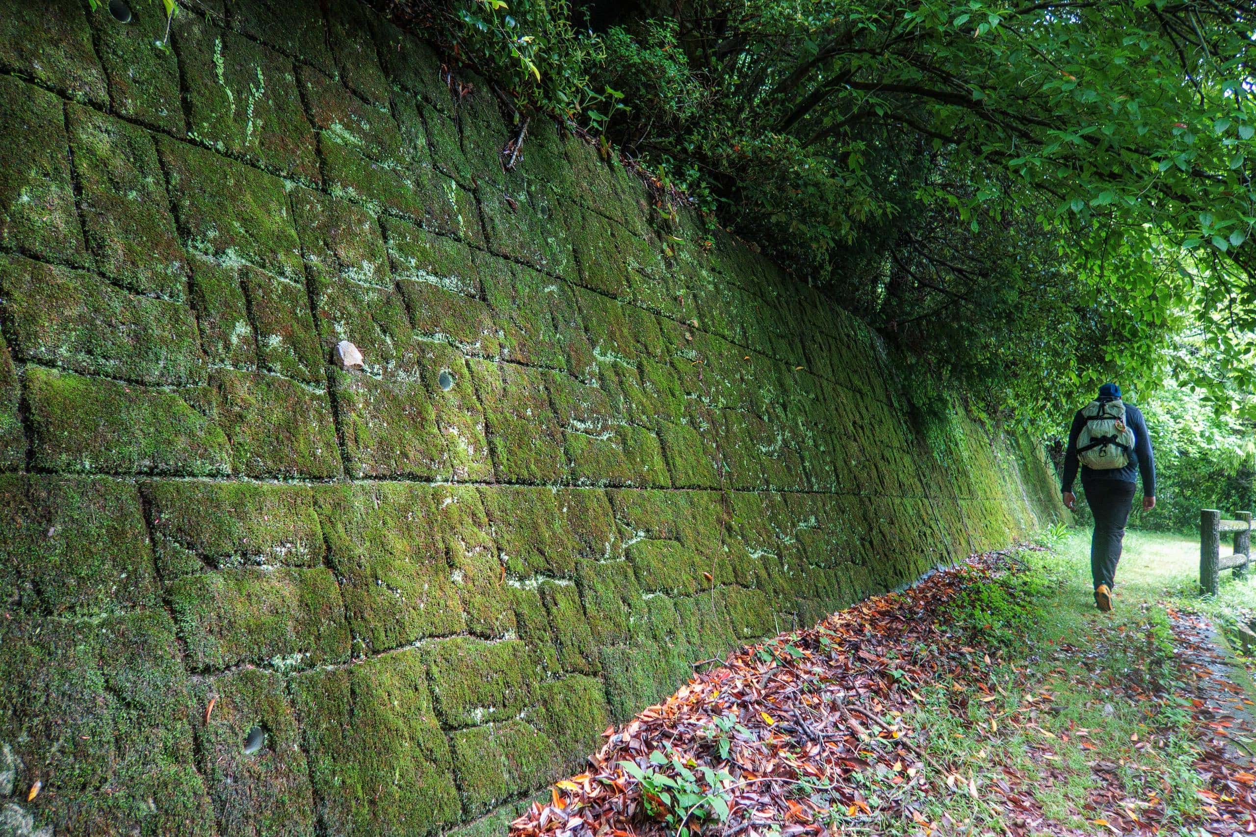
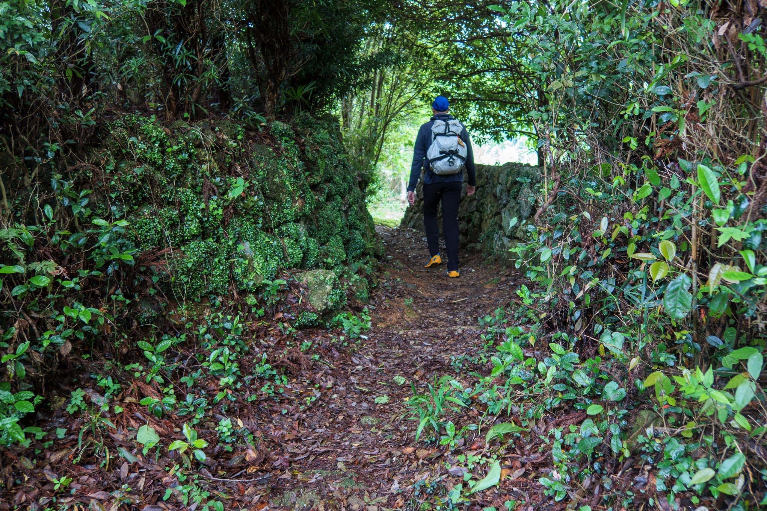
Kakurinji-michi Trail — One of the Oldest and Rarest Stone-Paved Pilgrim Paths
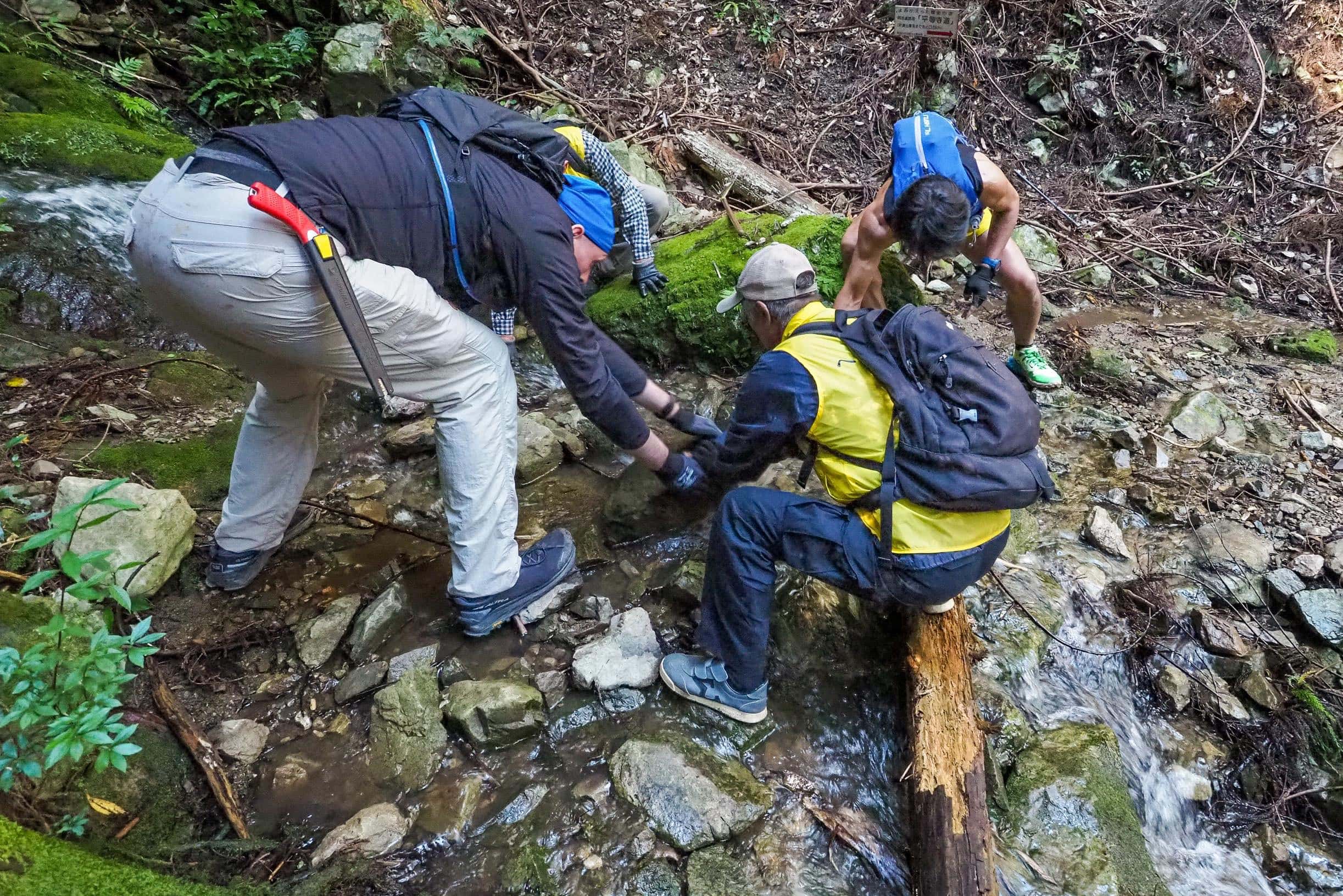
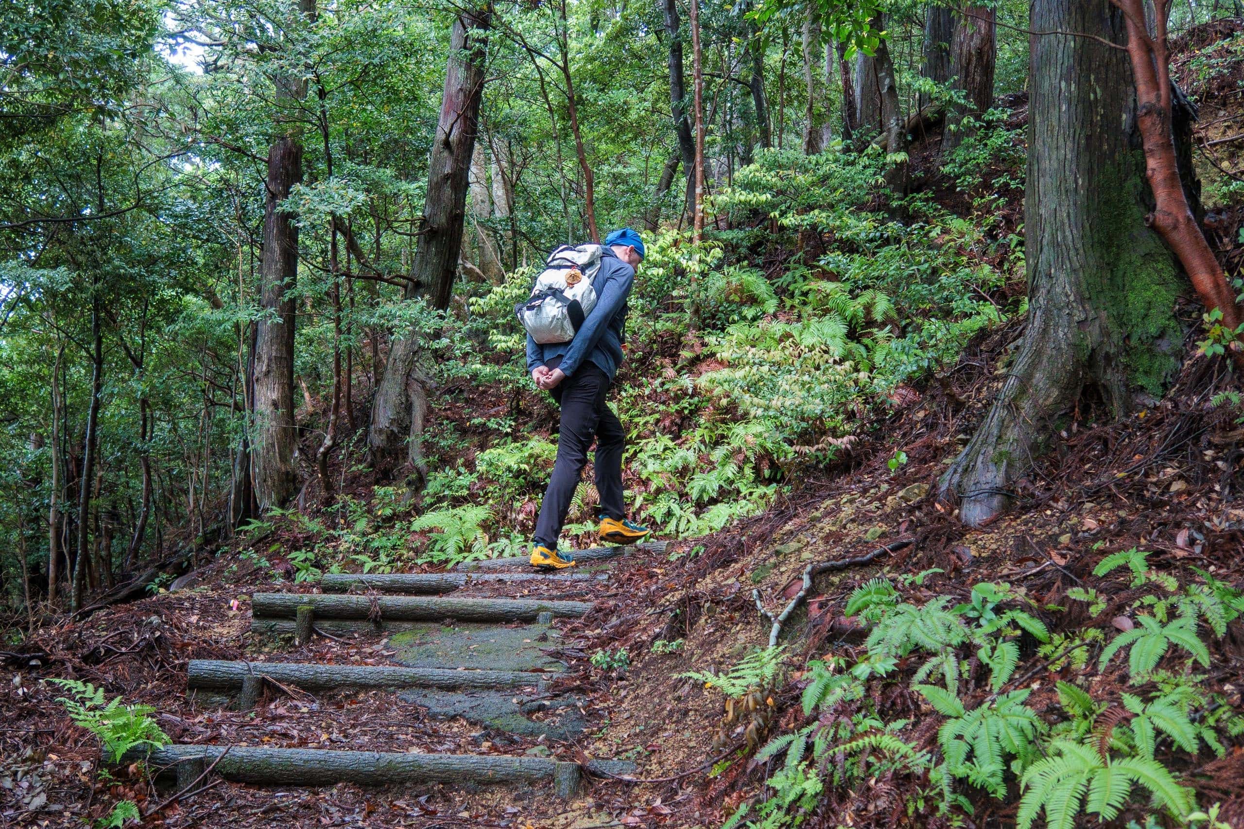
The sky was still cloudy, and the temperature much cooler after yesterday’s rain — a blessing for our climb to T20. Some of the early stretches of this trail are, I believe, among the top three steepest uphills of the entire Shikoku Pilgrimage.
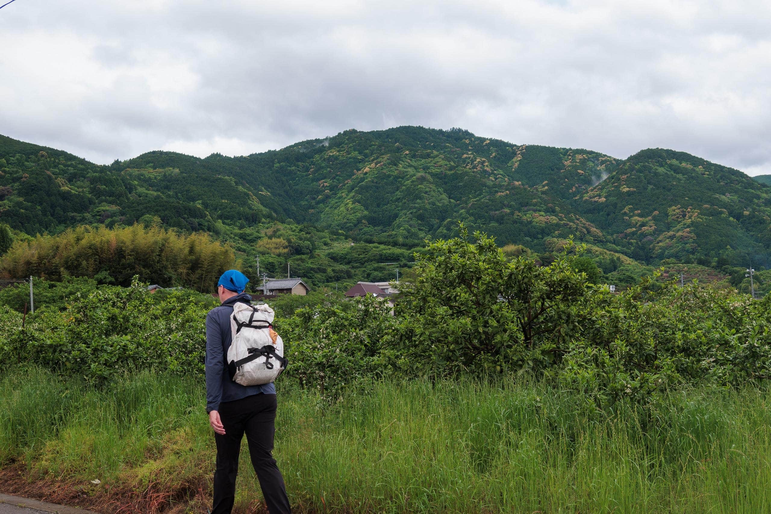
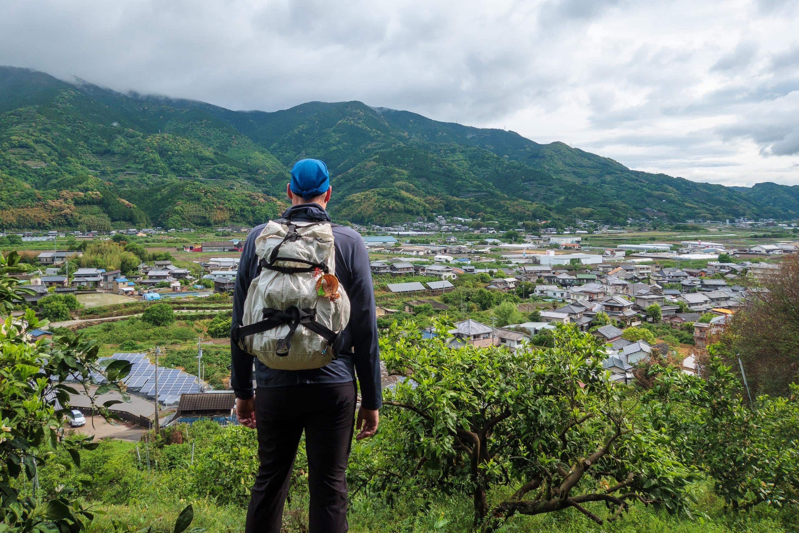
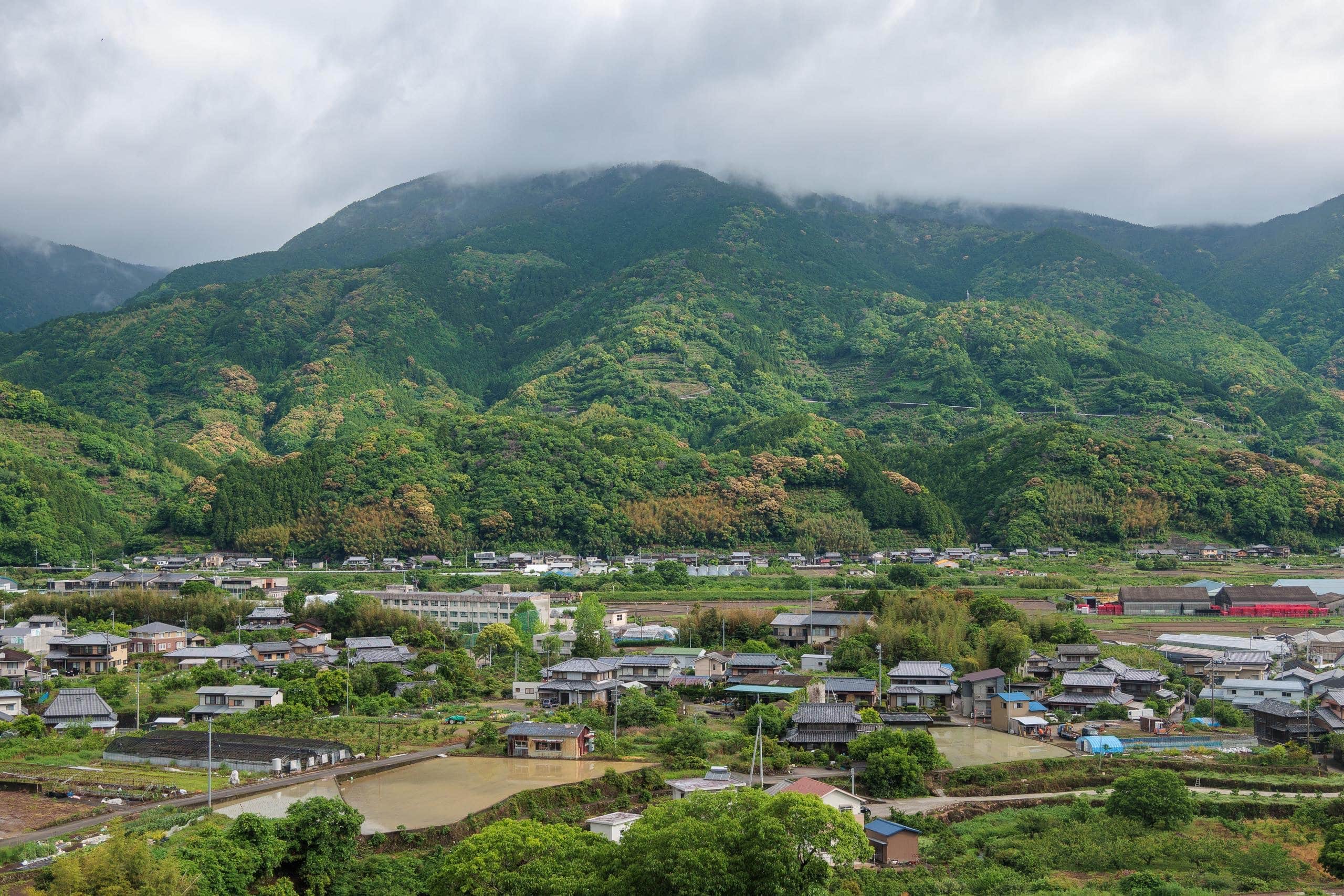
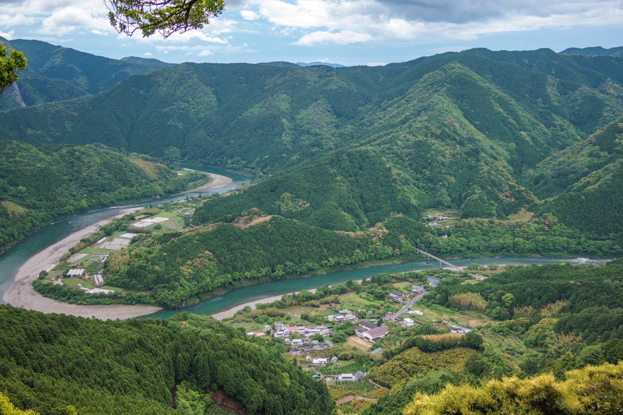
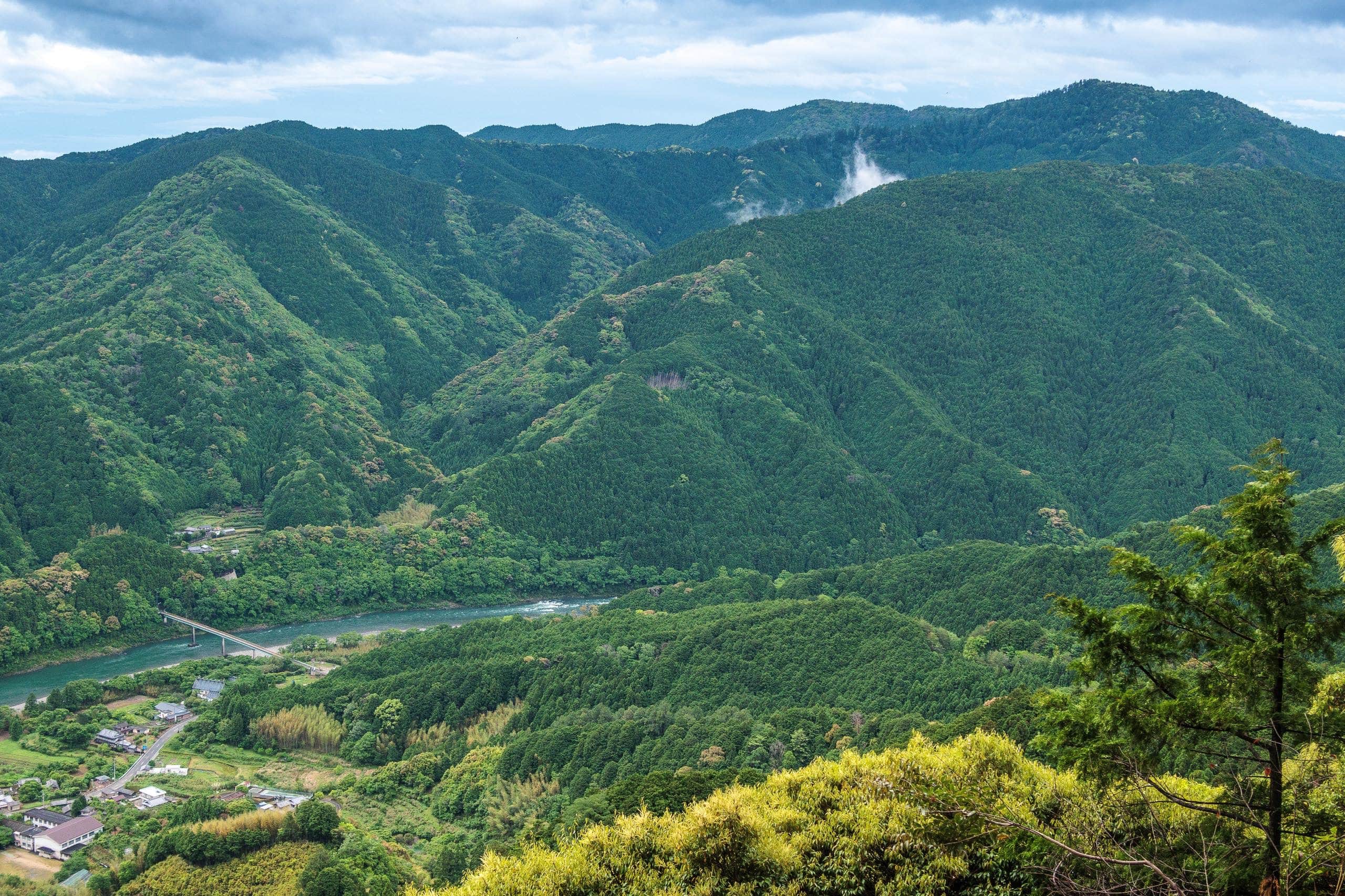
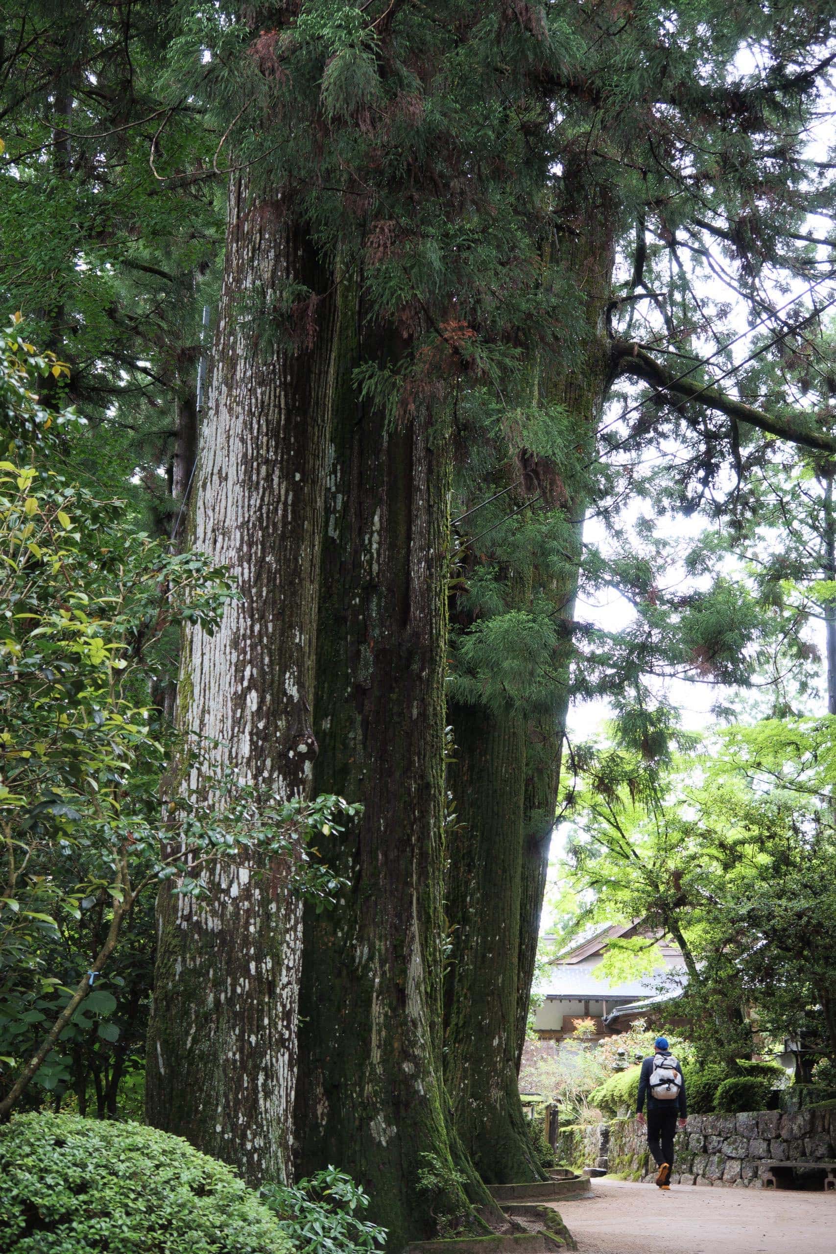
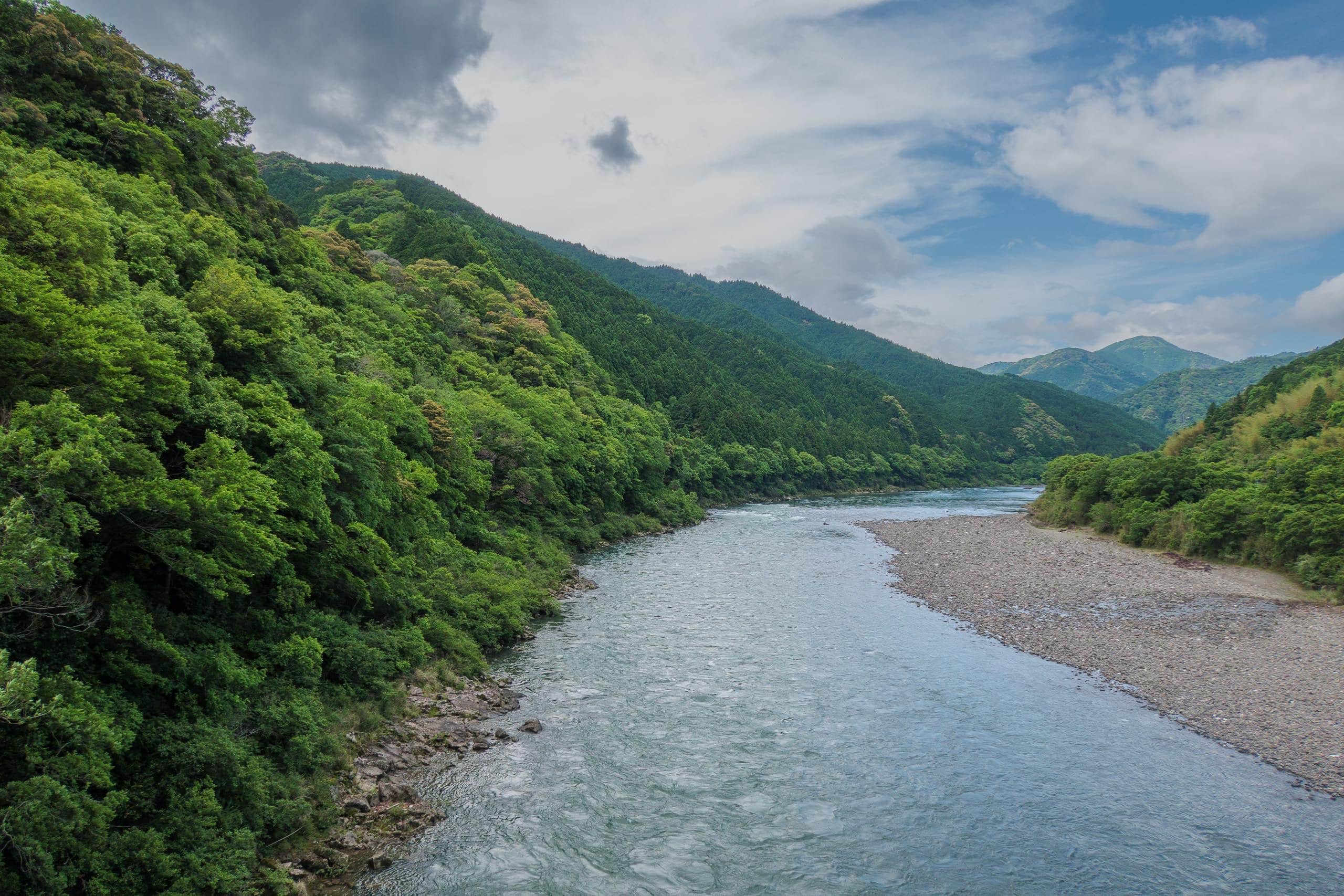
At the viewpoint where every pilgrim pauses to take in the landscape — the Nakagawa River winding below and the mountains around T21 — the sky turned completely blue, and the river shimmered a perfect emerald green. I was so happy to see my old home at its most beautiful.

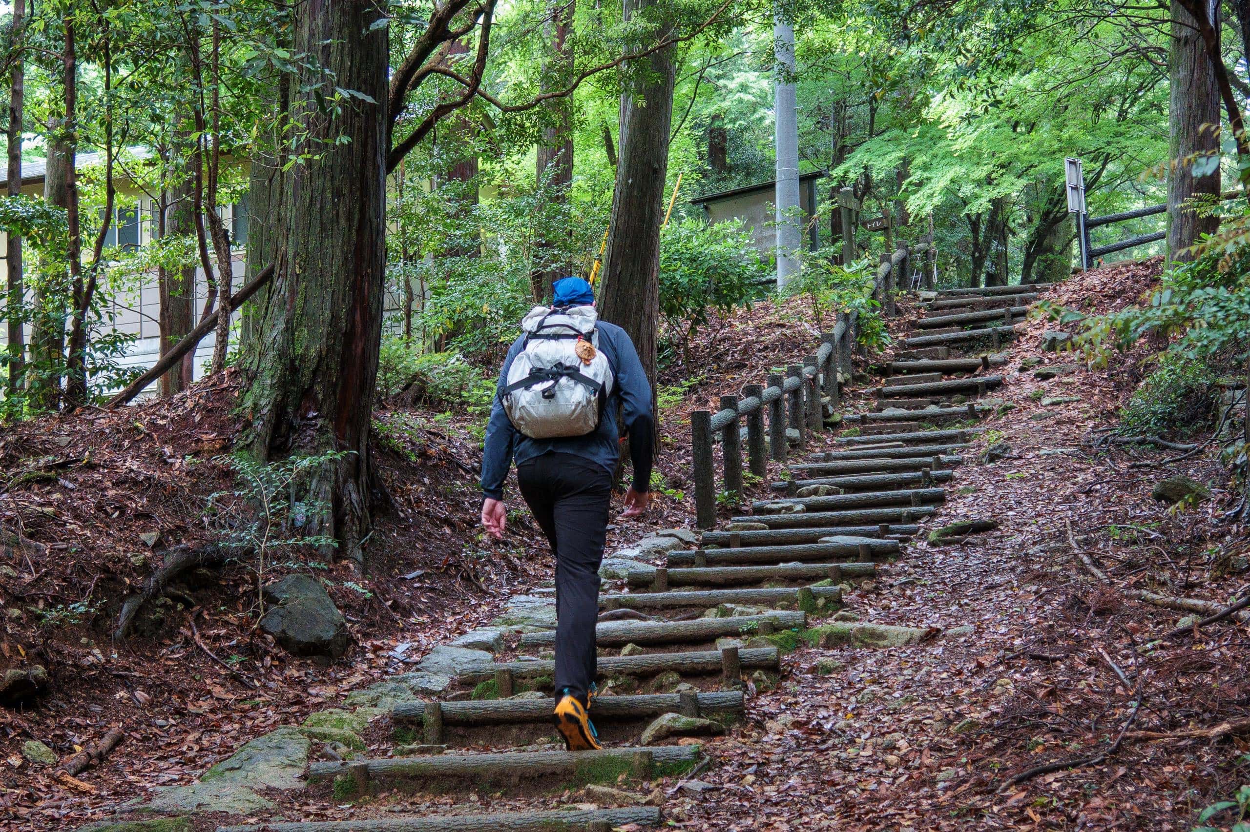
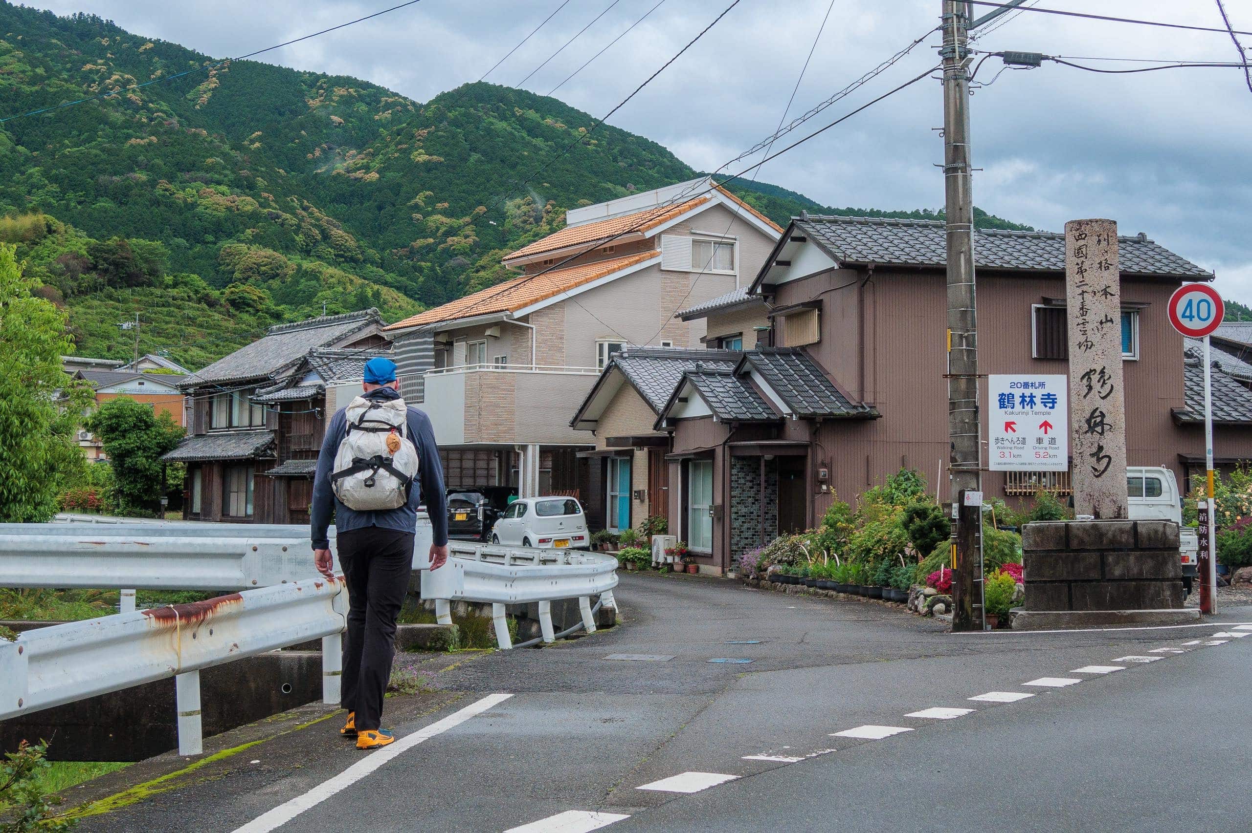
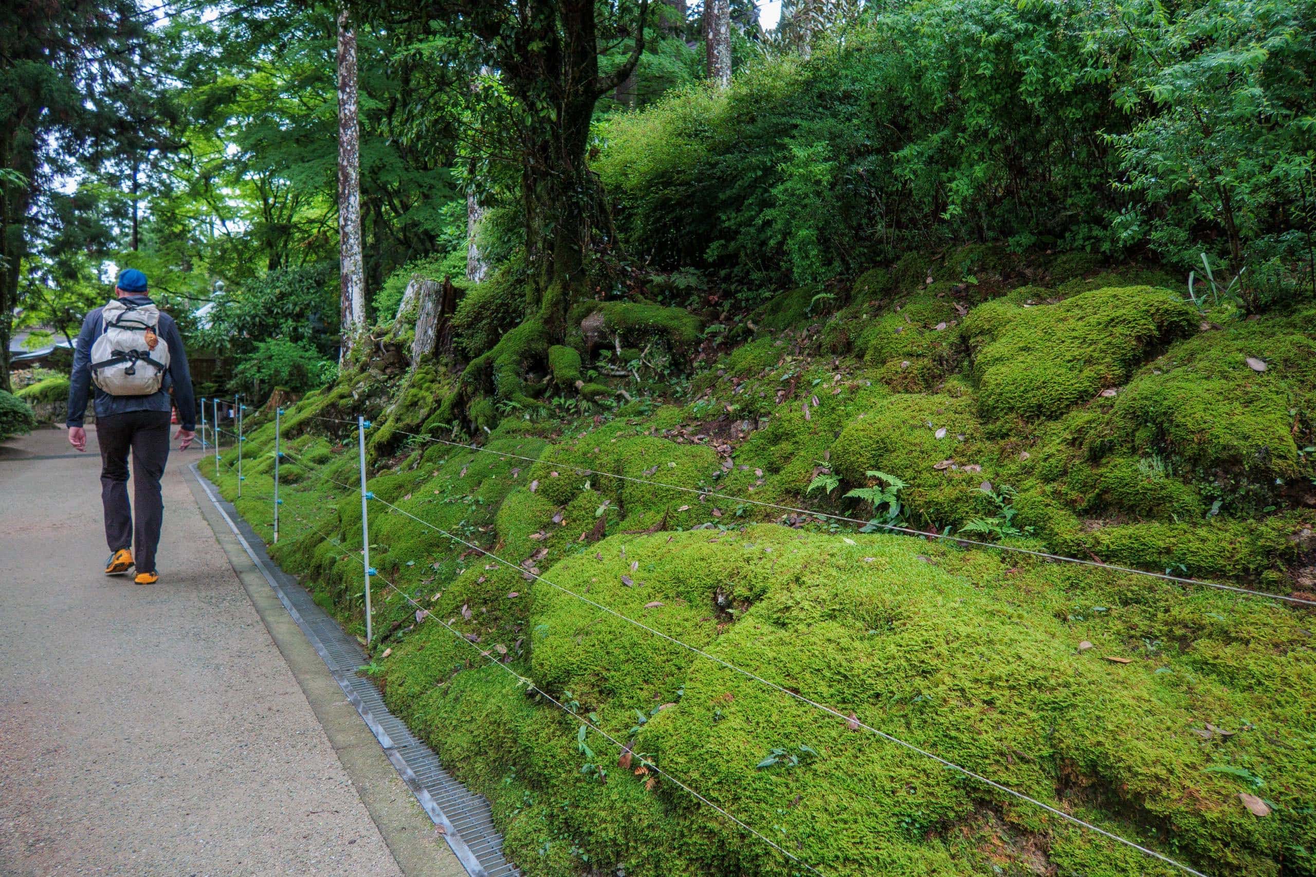
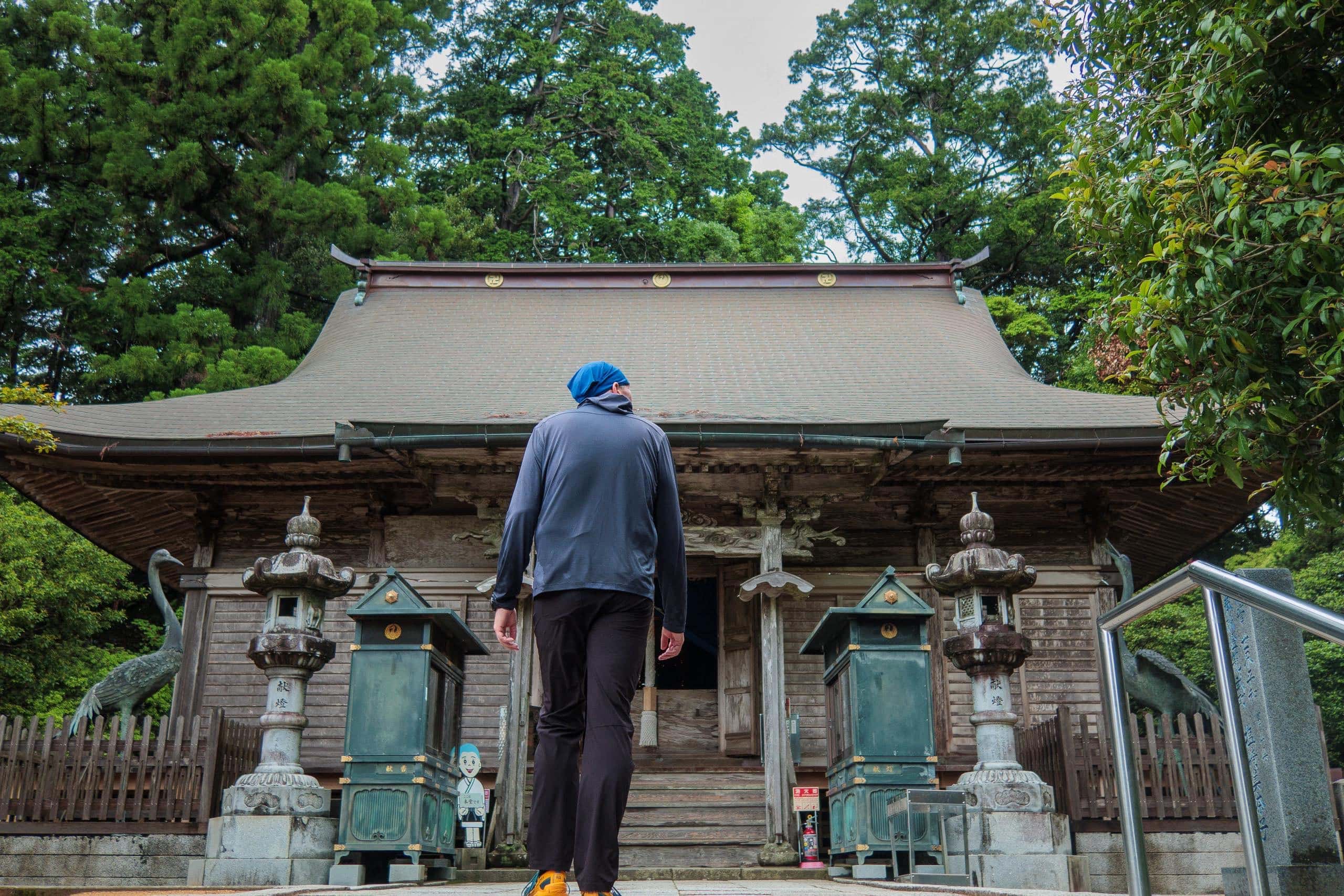
T20 Kakurinji — The Temple of the Crane Forest
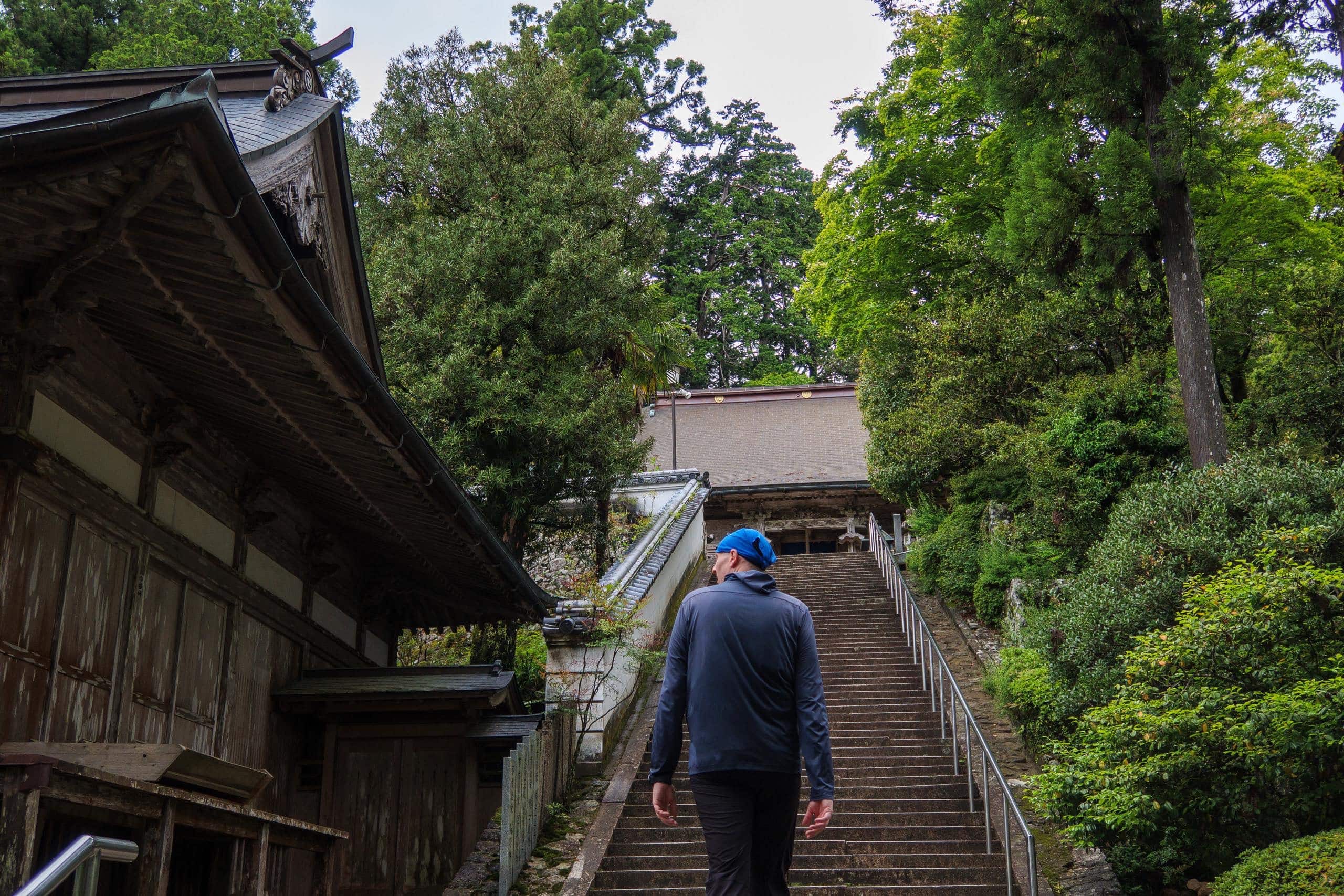
Even on a Saturday morning, T20 Kakurinji was unexpectedly quiet — perhaps still too early in the day and already past the Golden Week peak of pilgrim traffic.
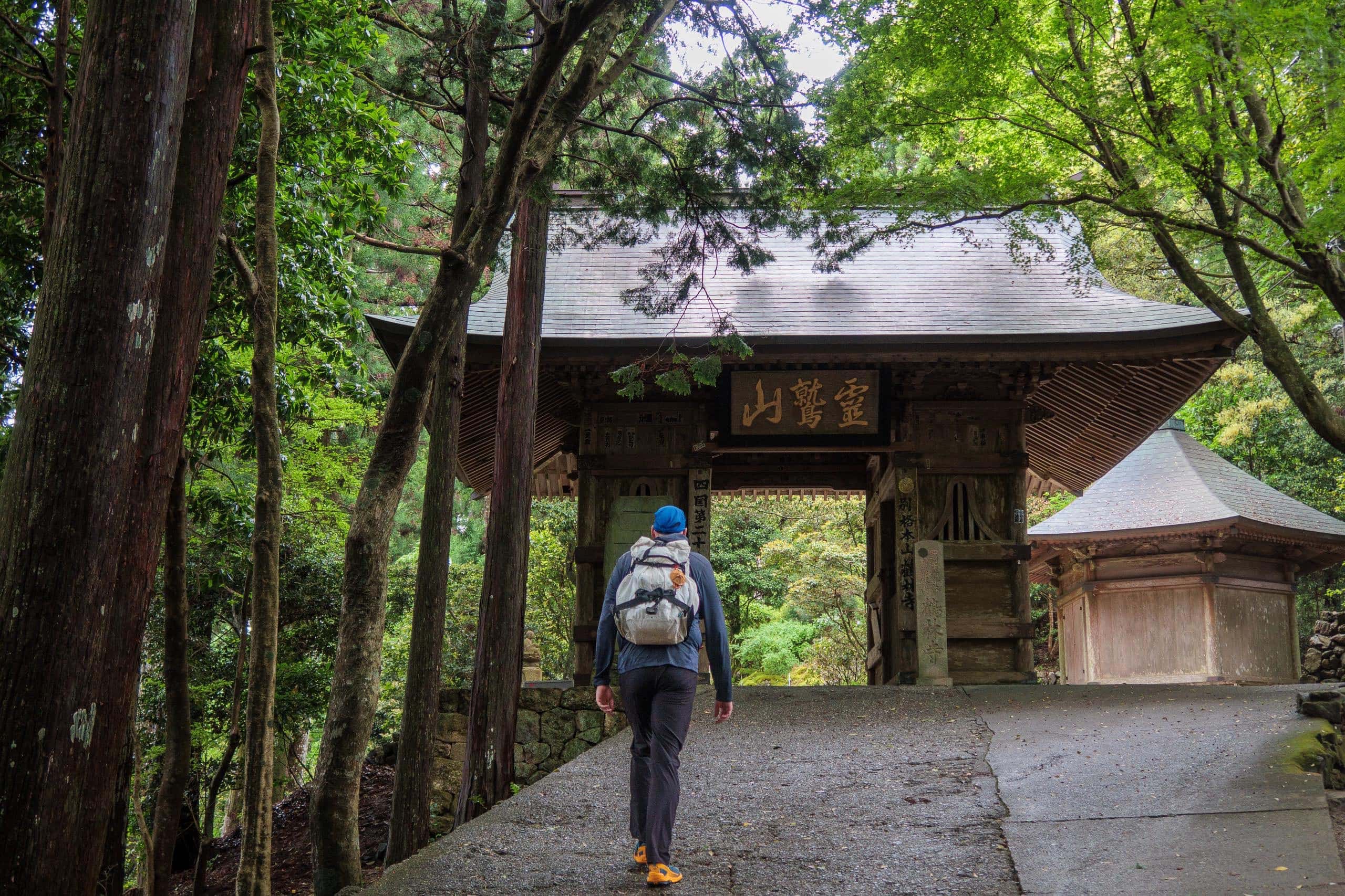
Kakurinji is one of the few temples on the Shikoku Pilgrimage whose name includes a sacred creature. Even the two guardian statues flanking its gate are cranes, glaring down protectively at visitors.
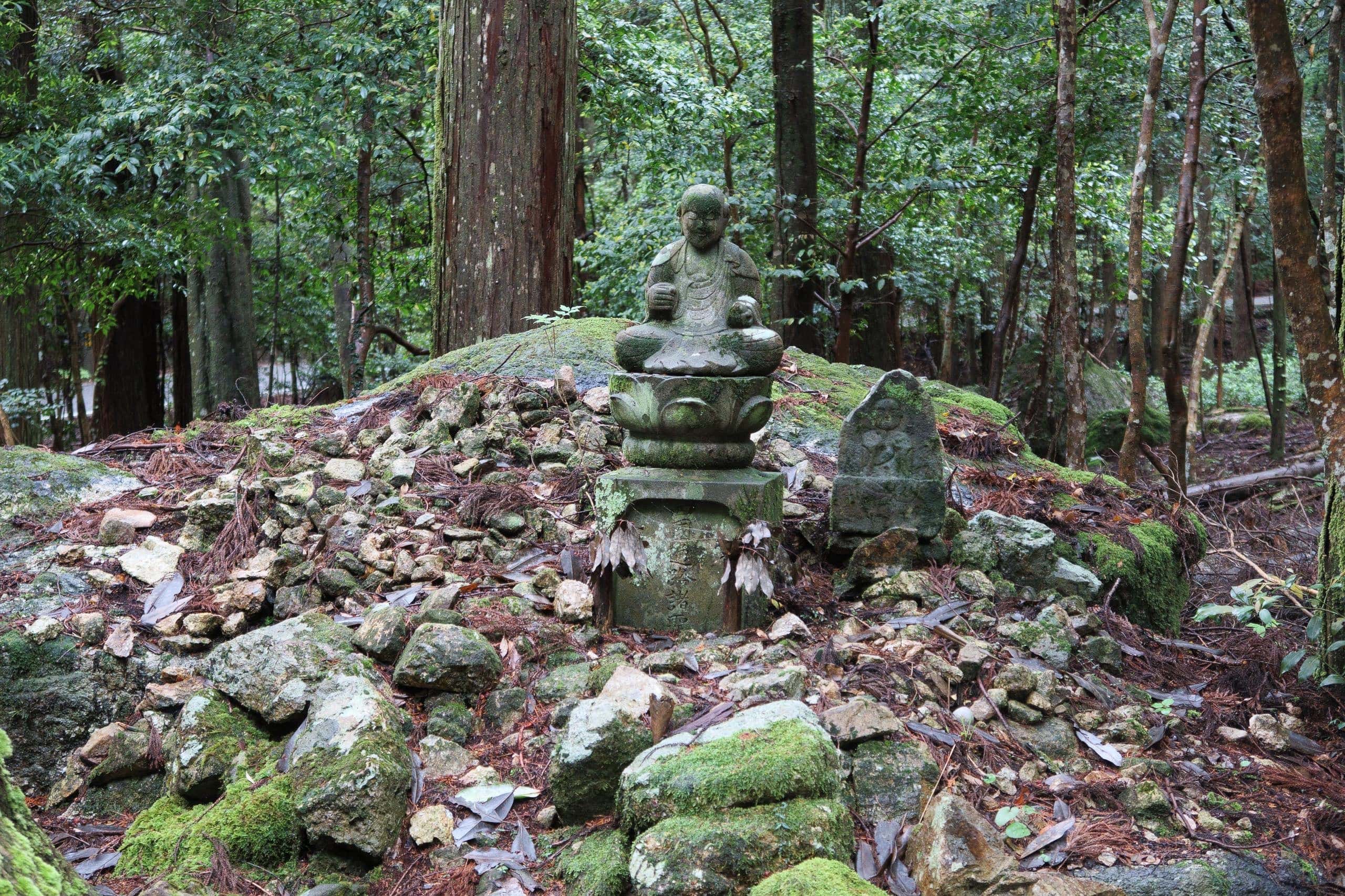
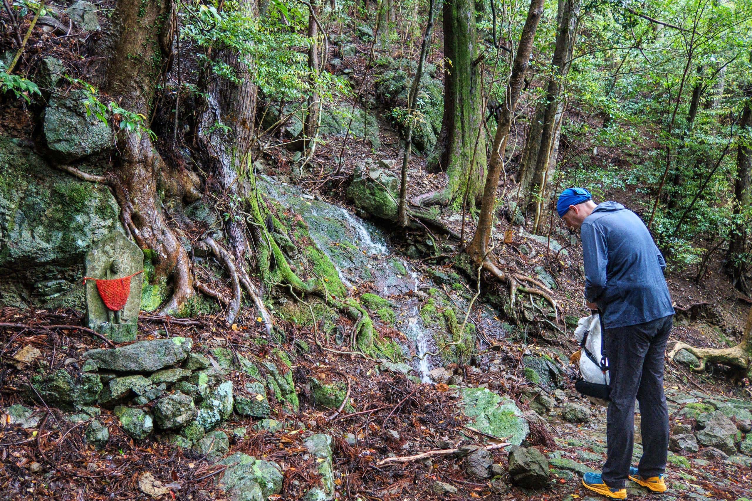
When Kobo Daishi (Kukai) was training on this mountain, two white cranes — one male and one female — spread their wings and swooped down onto an old cedar to protect a small golden Jizo.
The monk, moved by the sight, carved a 90-centimeter-high statue of Jizo Bosatsu 地蔵菩薩 from a sacred nearby tree, placed a 5.5-centimeter golden Jizo inside, and named the temple Kakurin-ji (Temple of the Crane Forest). – The association of temples on the Shikoku 88 Pilgrimage
The cedar tree the cranes guarded is said to have stood behind the current main hall. Visitors today can see a statue of Kōbō Daishi beside a towering old cedar in that spot.
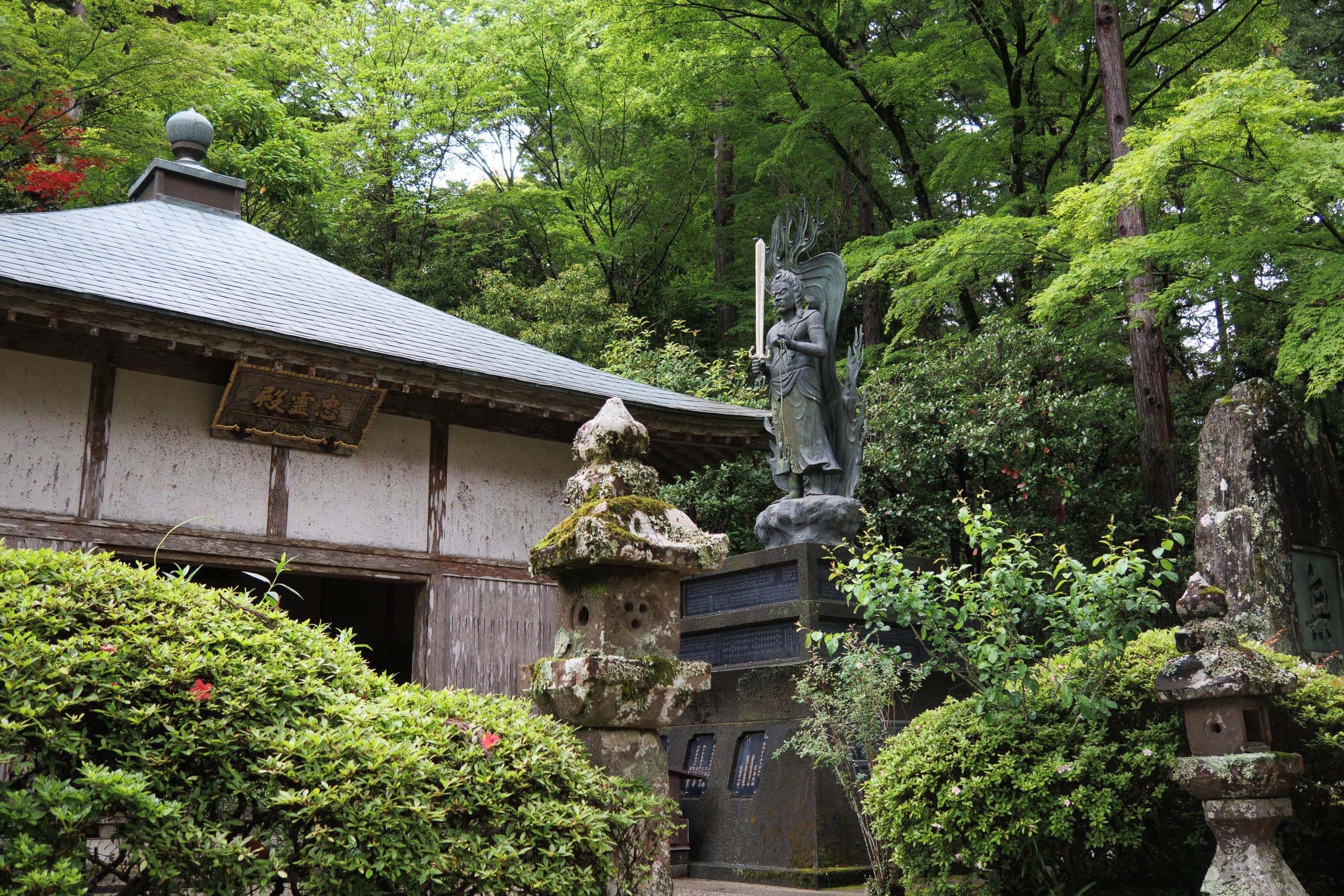
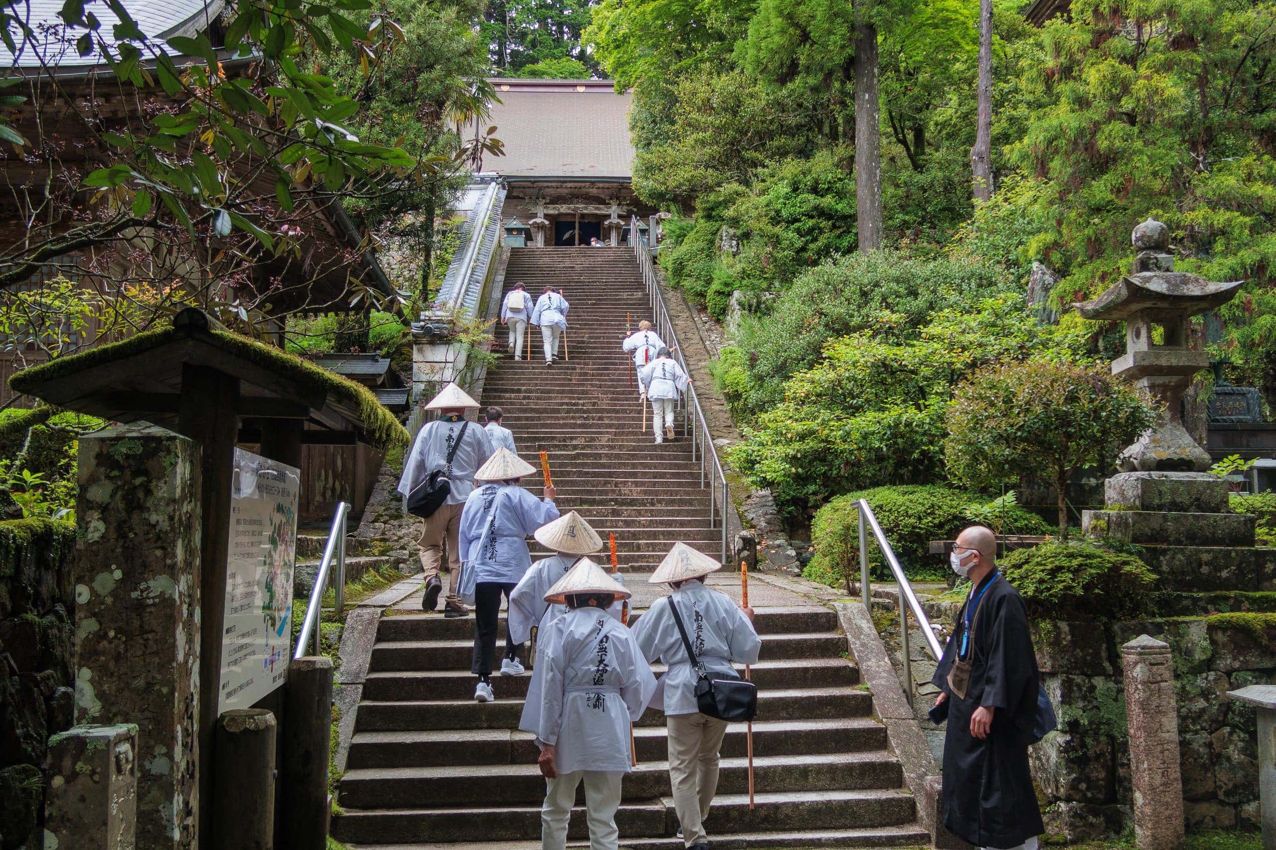
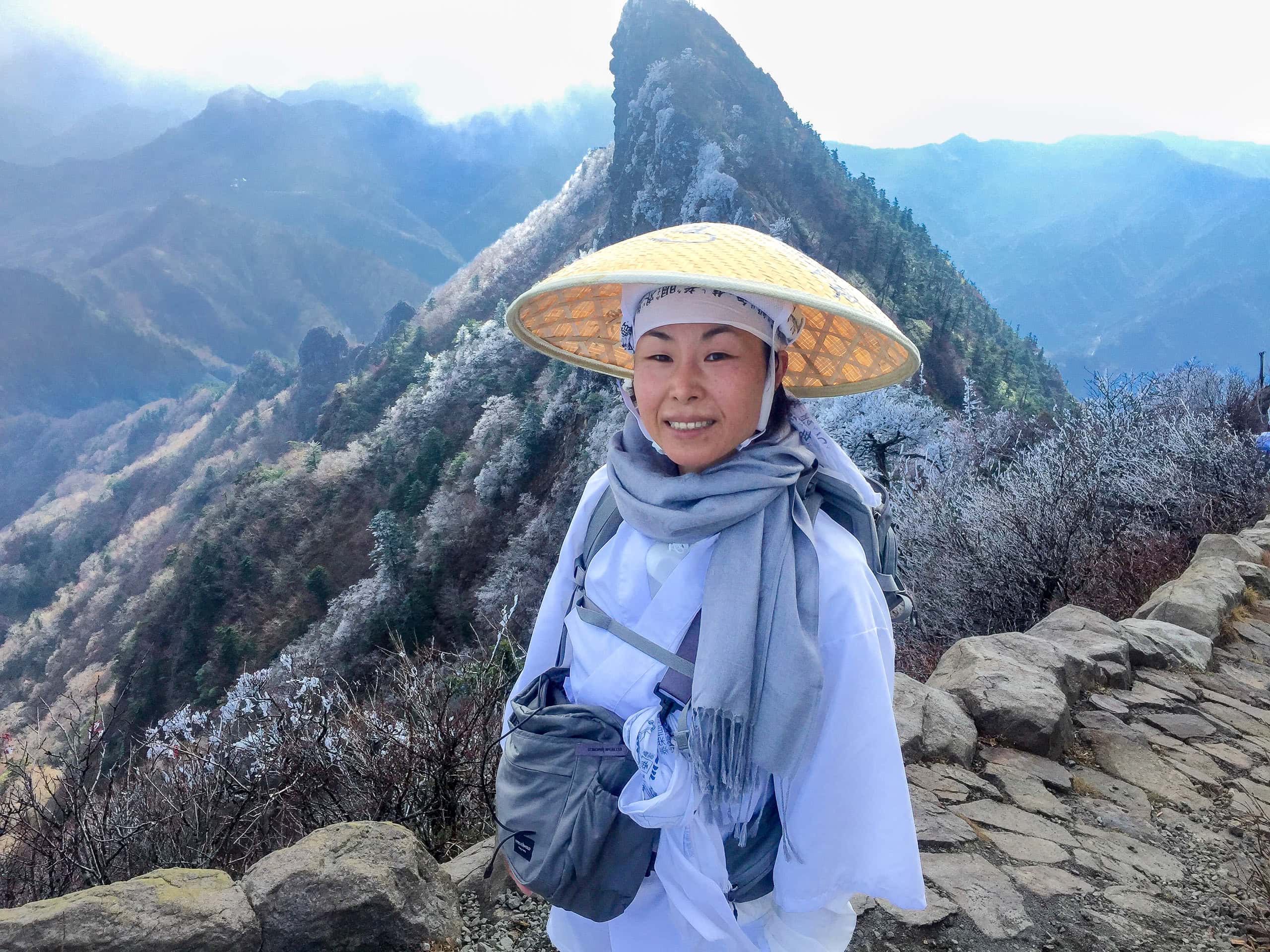
After praying at the main hall, we descended the stone stairs to the Daishi-dō and the stamp office. Just as we arrived, a large group of bus-tour pilgrims — all wearing white henro robes — came cheerfully up the stairs led by a monk. Their rhythmic chanting echoed through the temple grounds.
At the stamp office, the attendant told us they were from Hokkaido — and that the same group visits Shikoku every year. Such faith and dedication impressed us deeply.
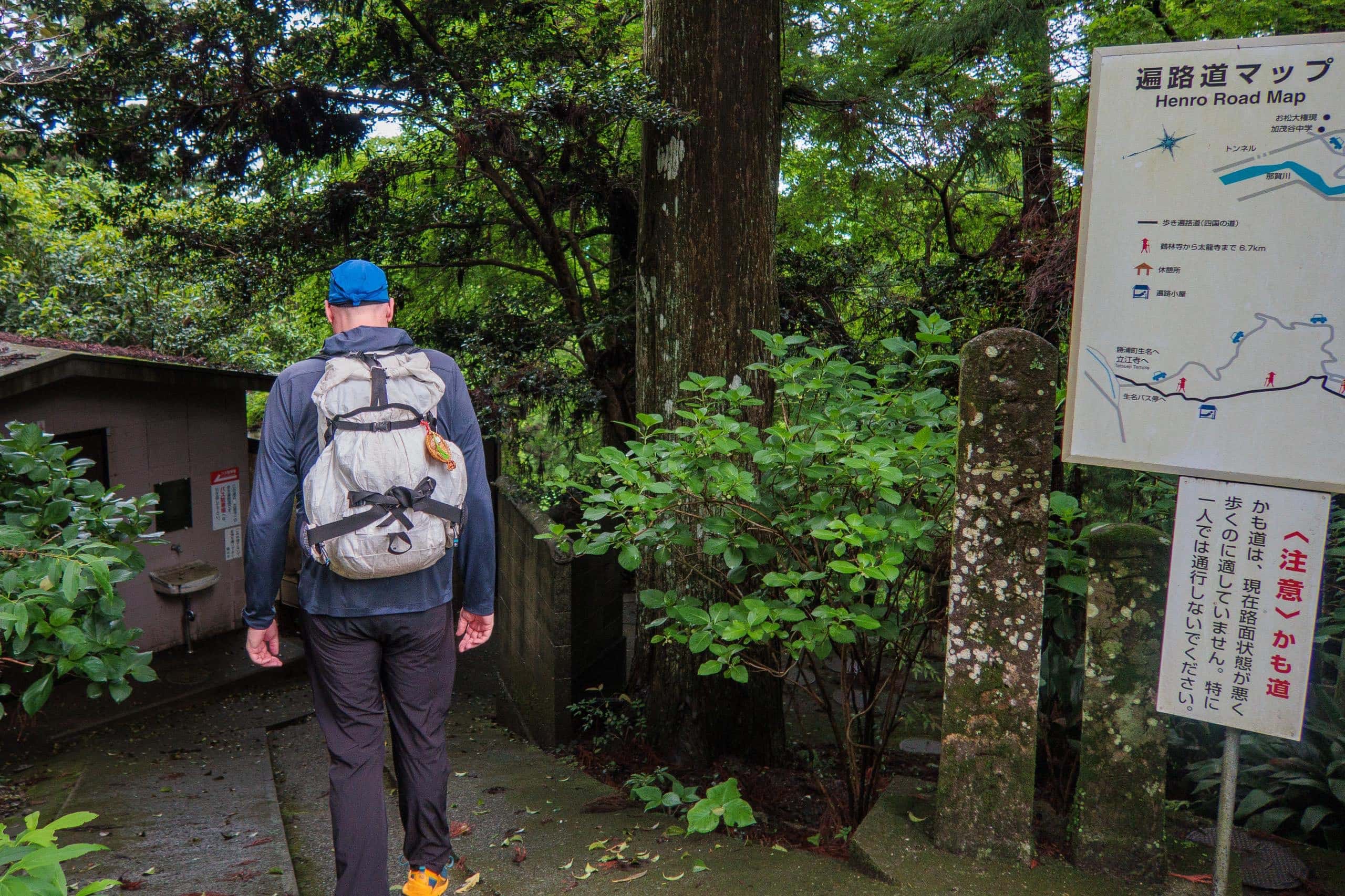
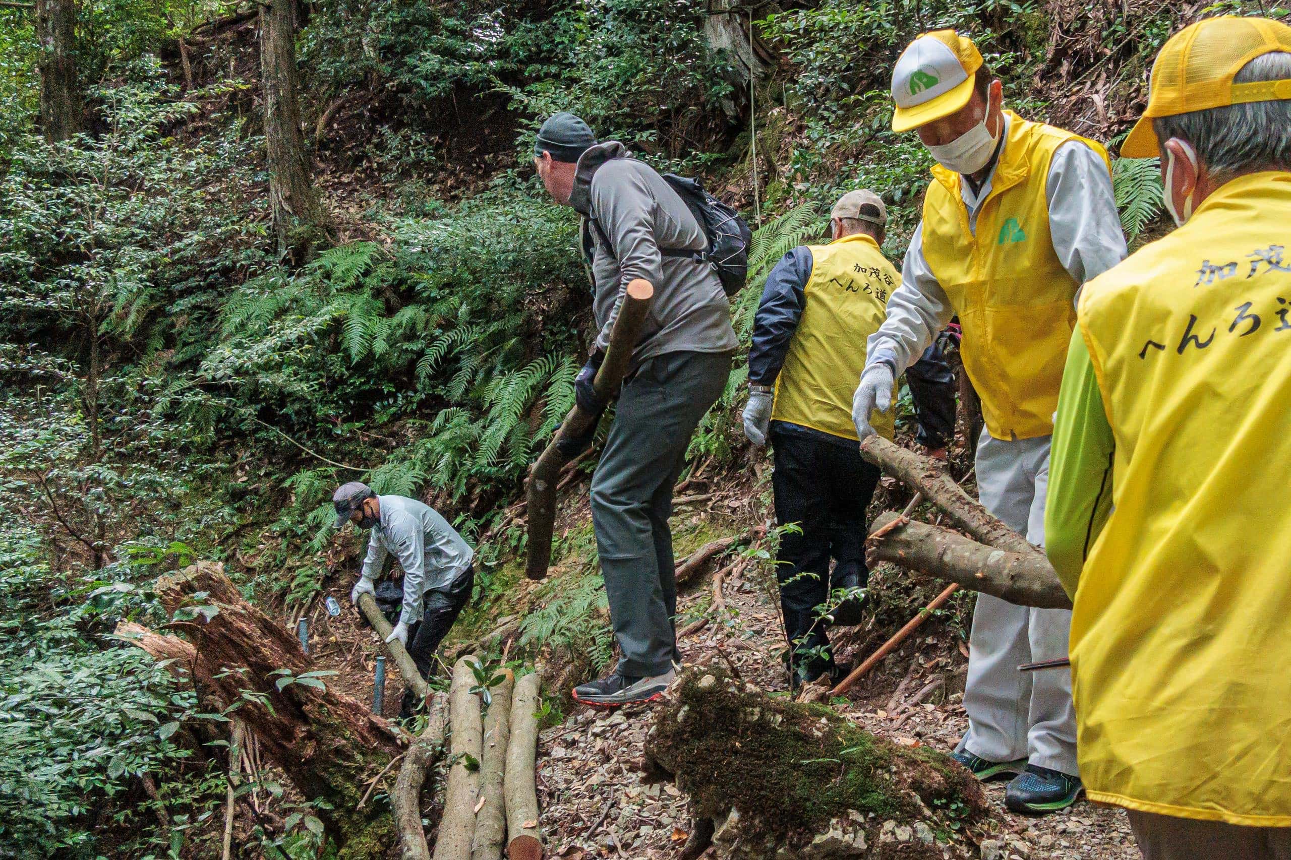
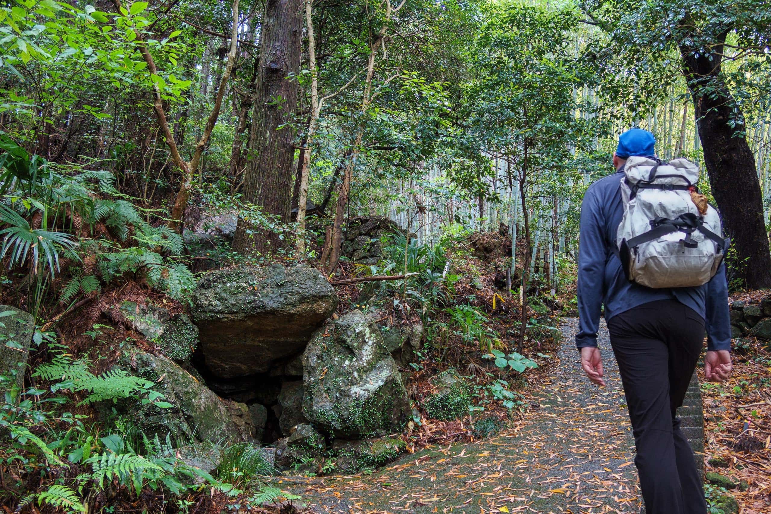
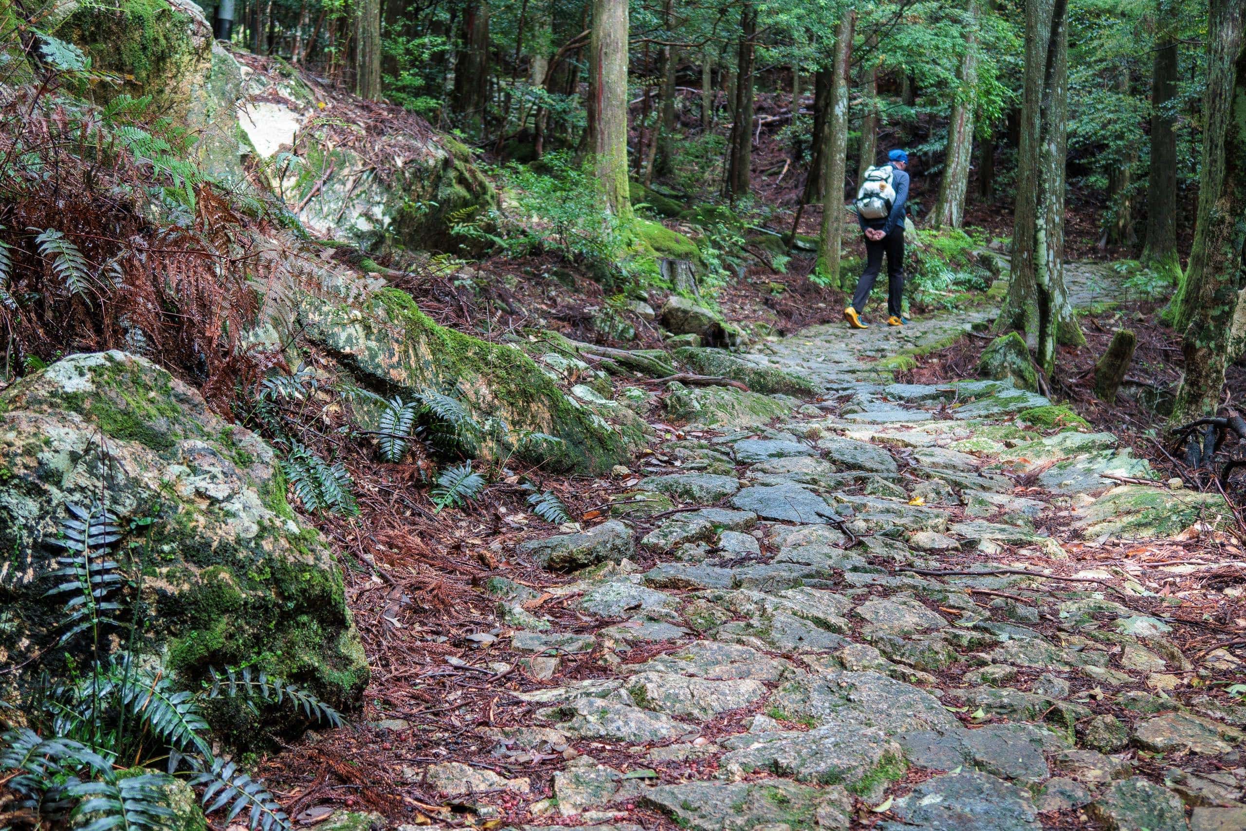
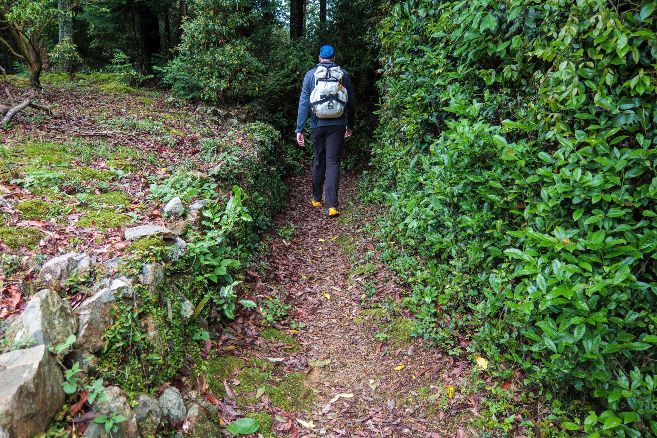
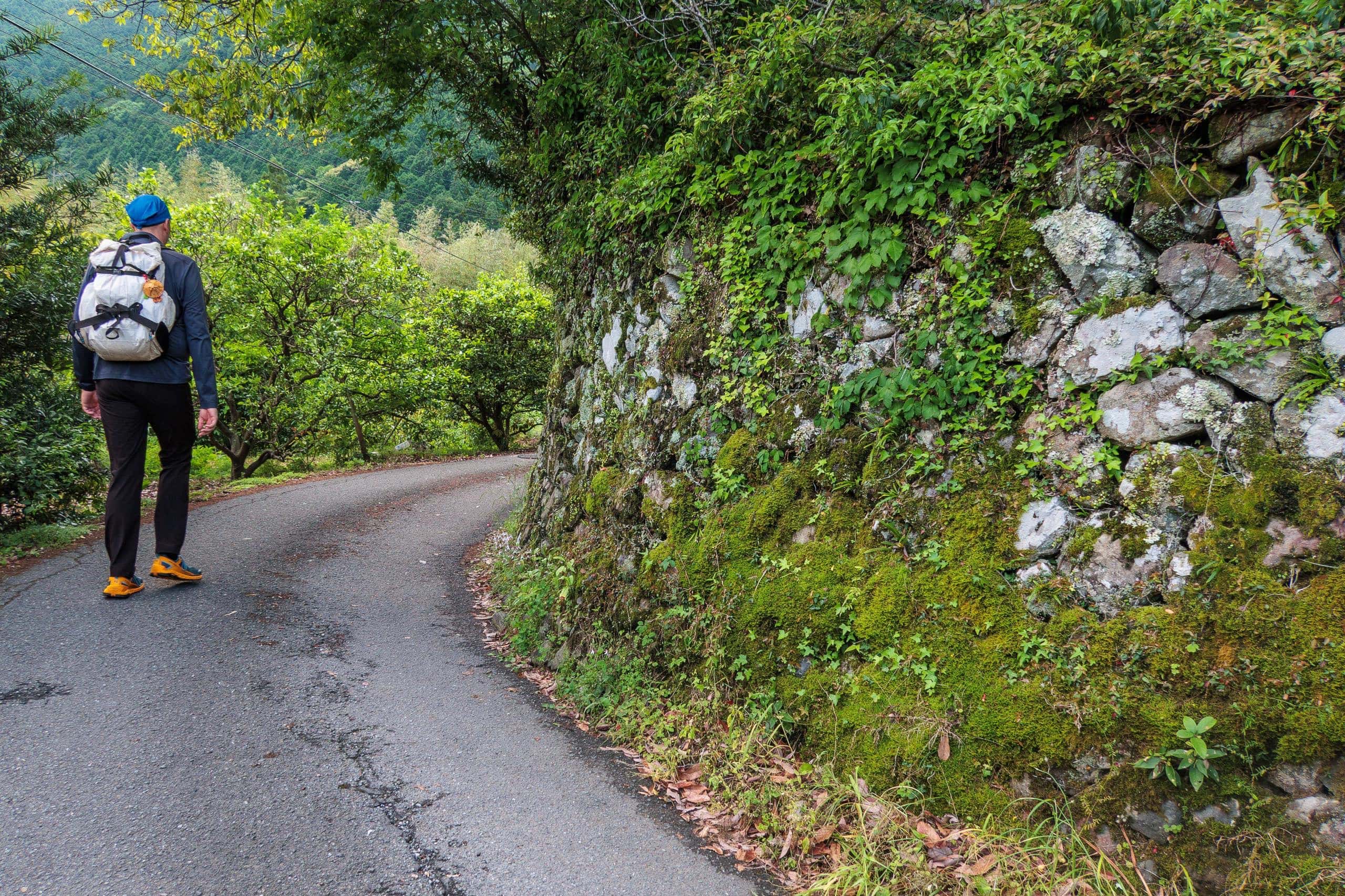
One note for walking pilgrims: at the entrance to the Kamo-michi かも道 trail leading down toward the next temple, there’s a sign (in Japanese) warning that the route is “unmaintained and dangerous.”
Ignore it! The Kamo-michi trail is without question one of the best maintained paths on the entire Shikoku Pilgrimage. I can say this with 100% confidence, as we’ve helped clear it many times with the tireless local volunteer trail group. Even when typhoons topple trees or trigger small landslides, Kamo-michi is always among the first trails restored.
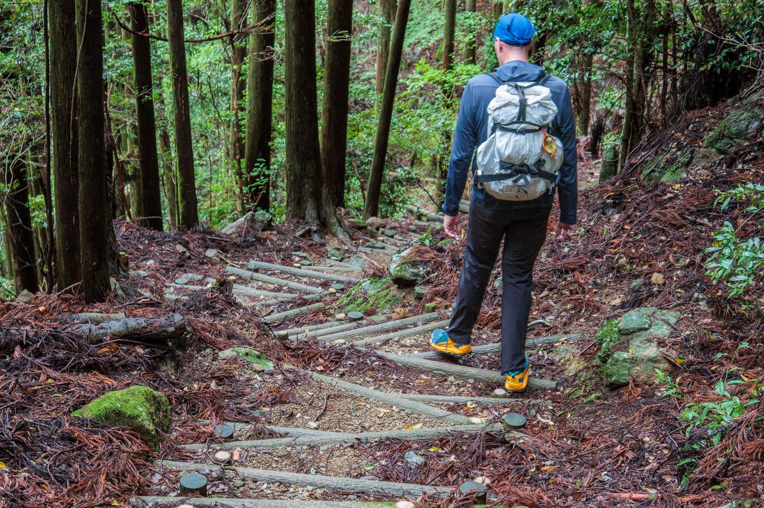
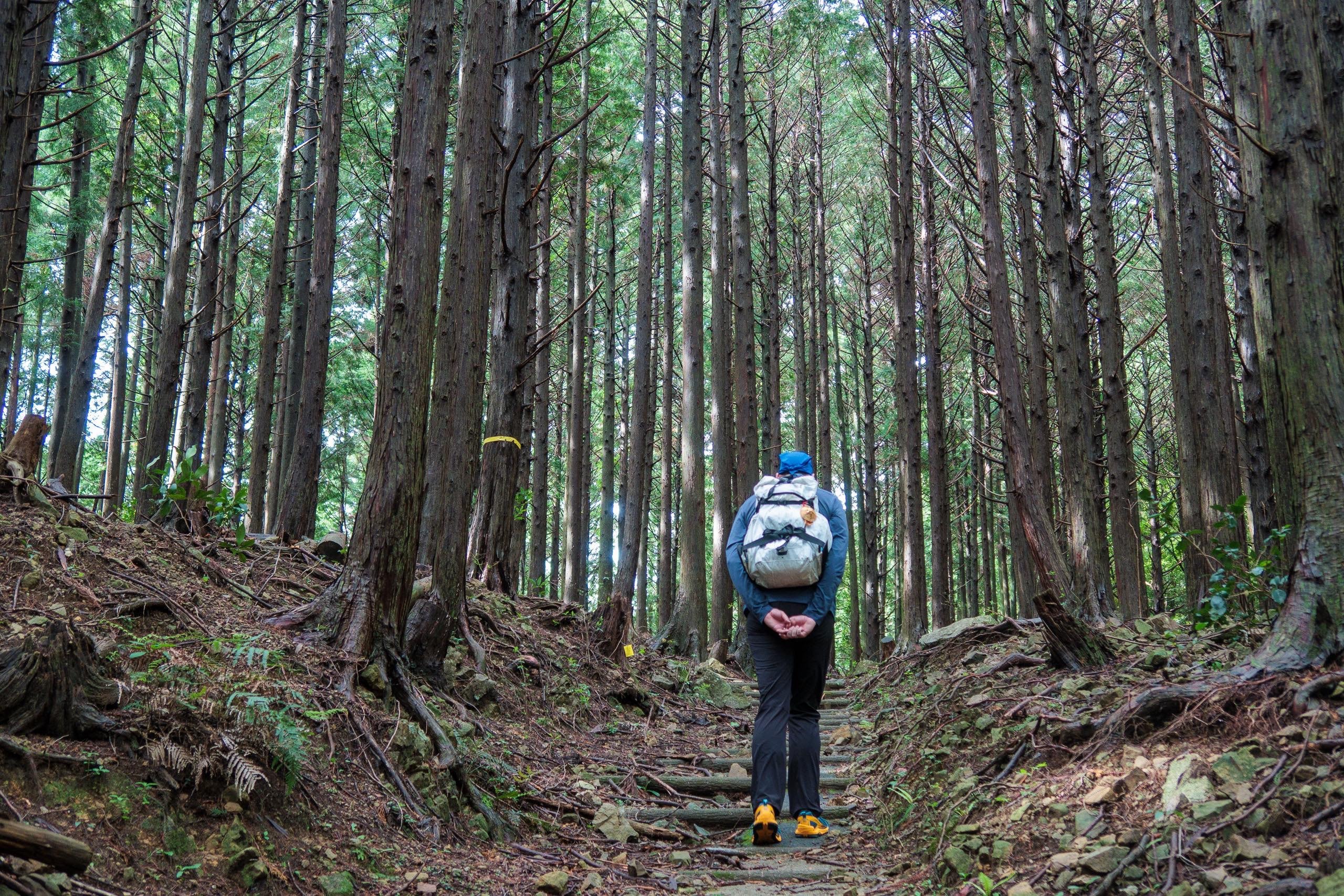
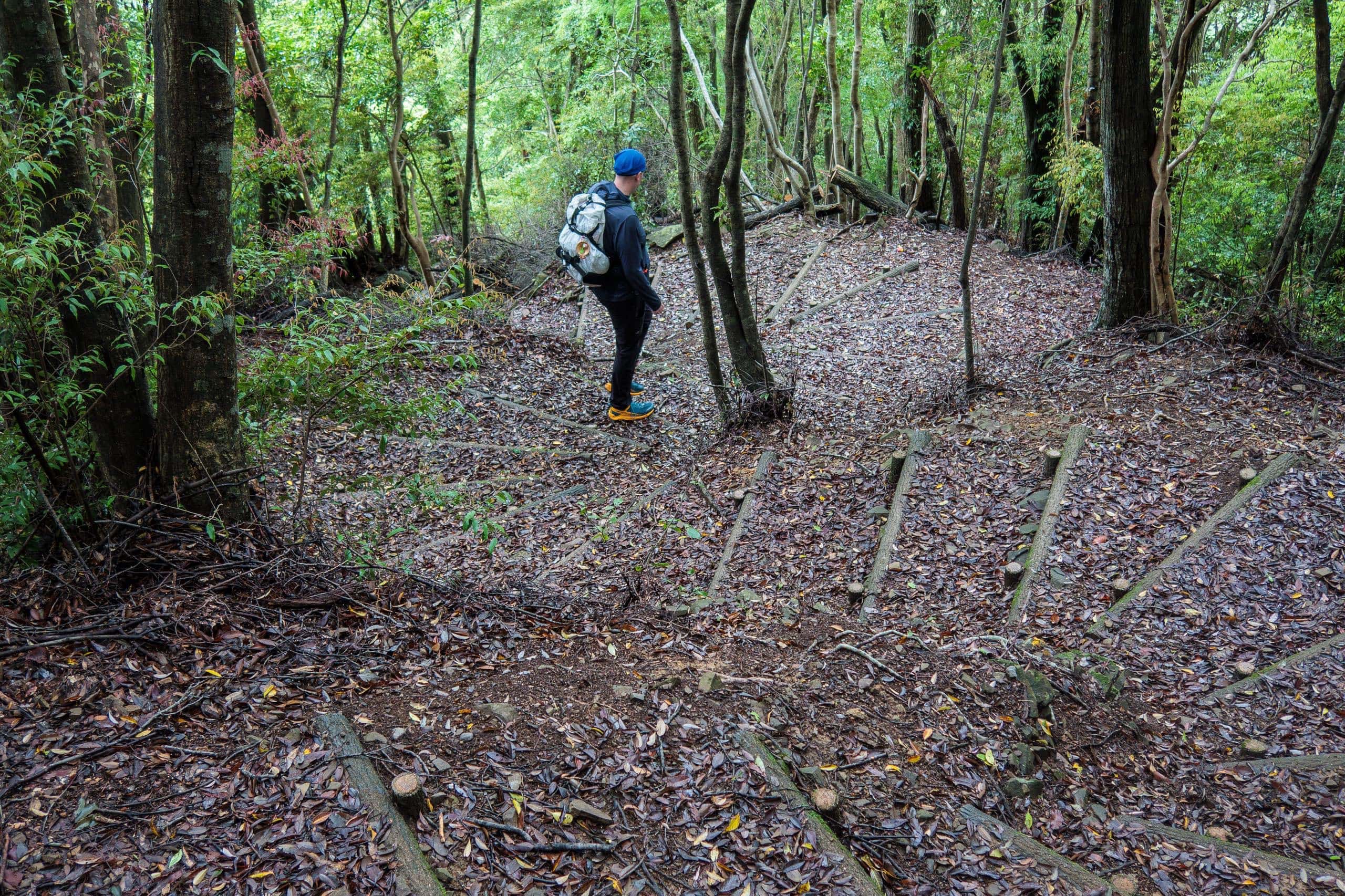
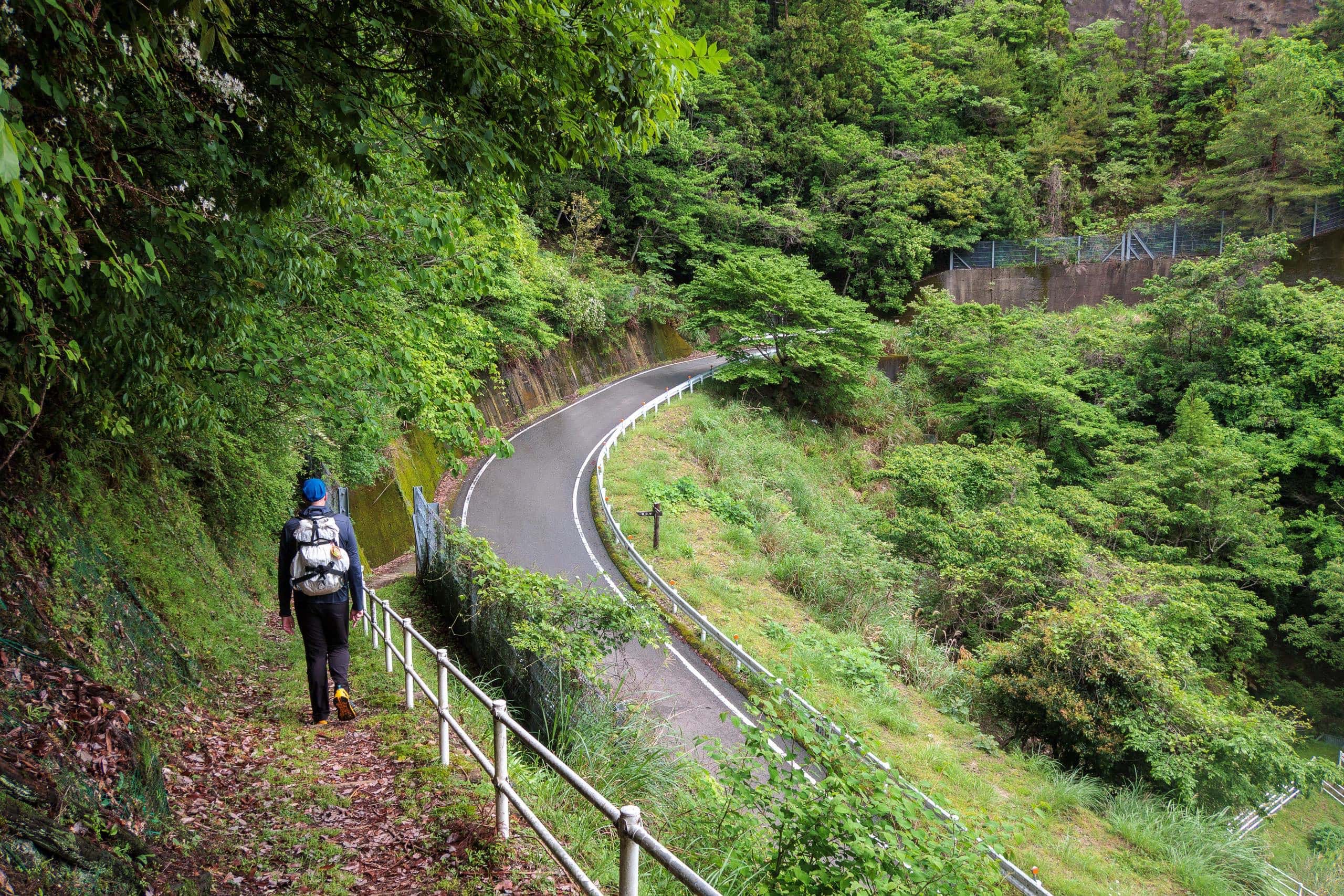
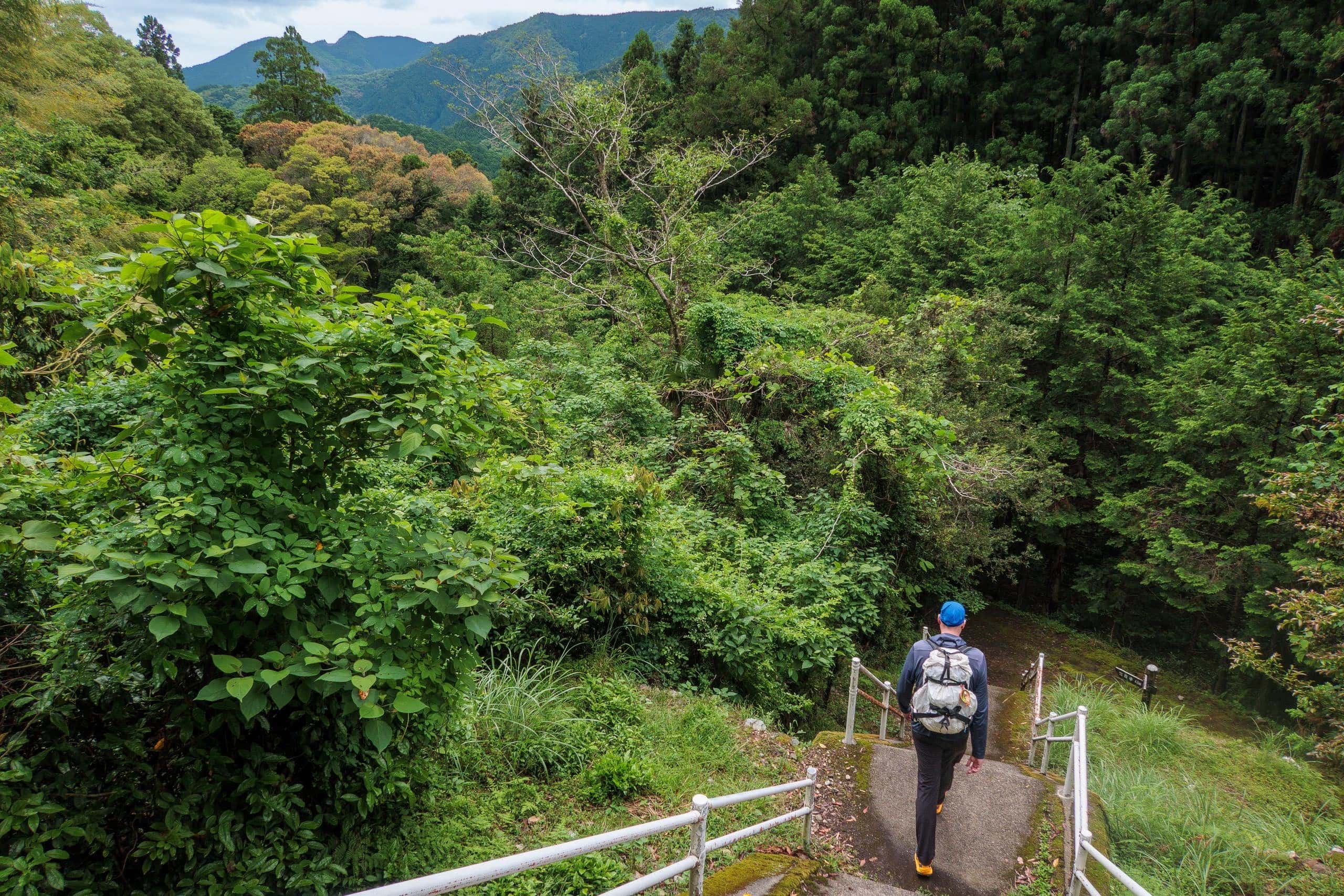
The Infamous Knee-Crashing Steep Downhill
We picked our way carefully down the trail from T20 toward the valleys of the Nakagawa. This descent is notorious among pilgrims: long, uneven stone steps and steep pitches that punish knees of every age. With a full day still ahead, we focused on moving gently to spare our joints.
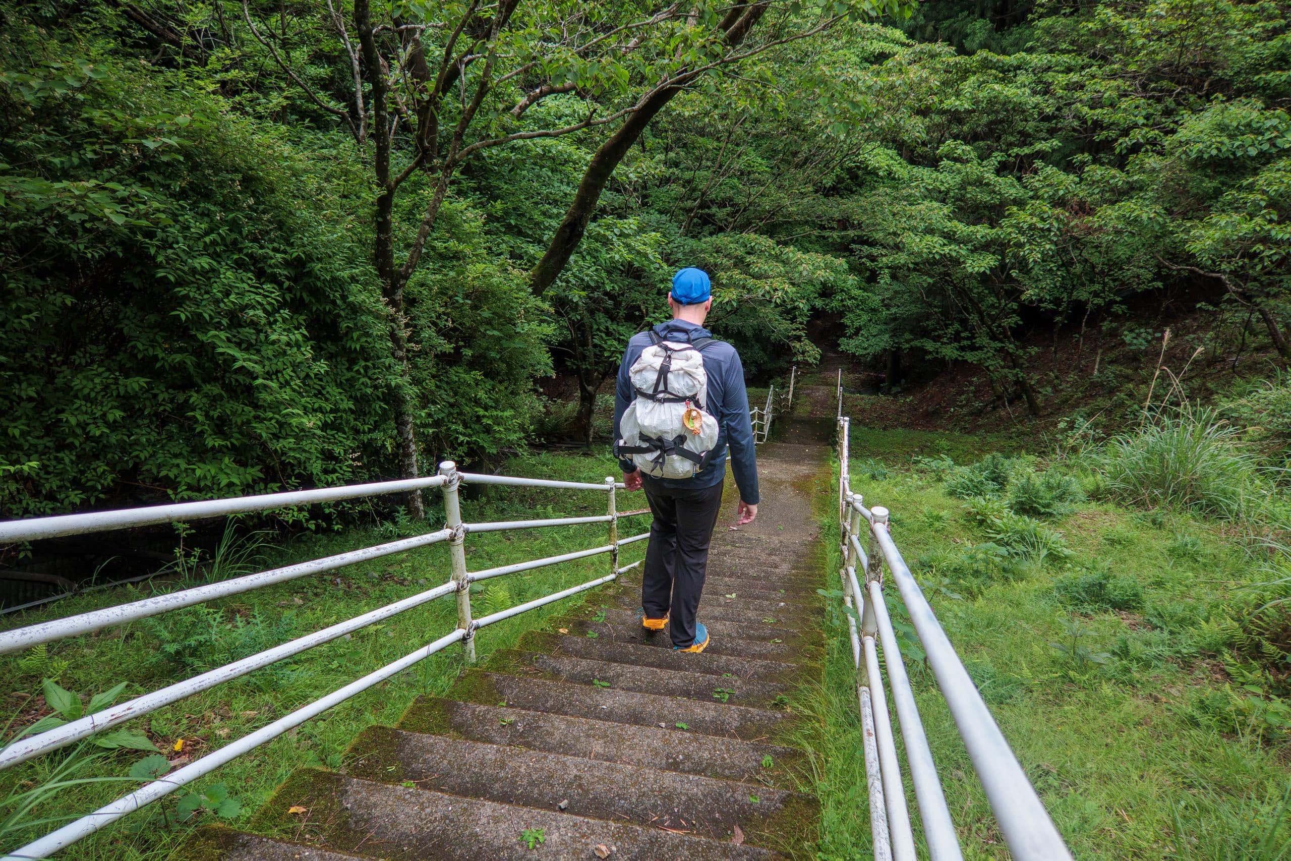
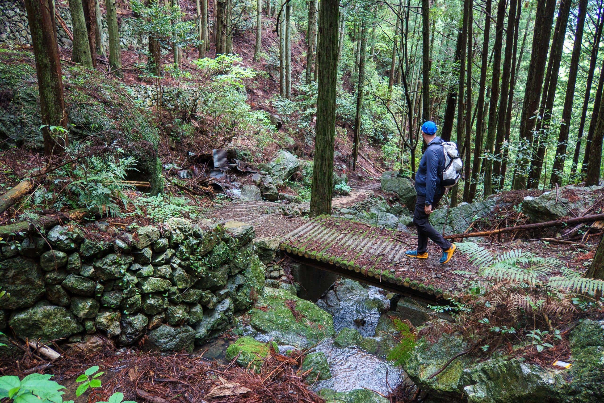

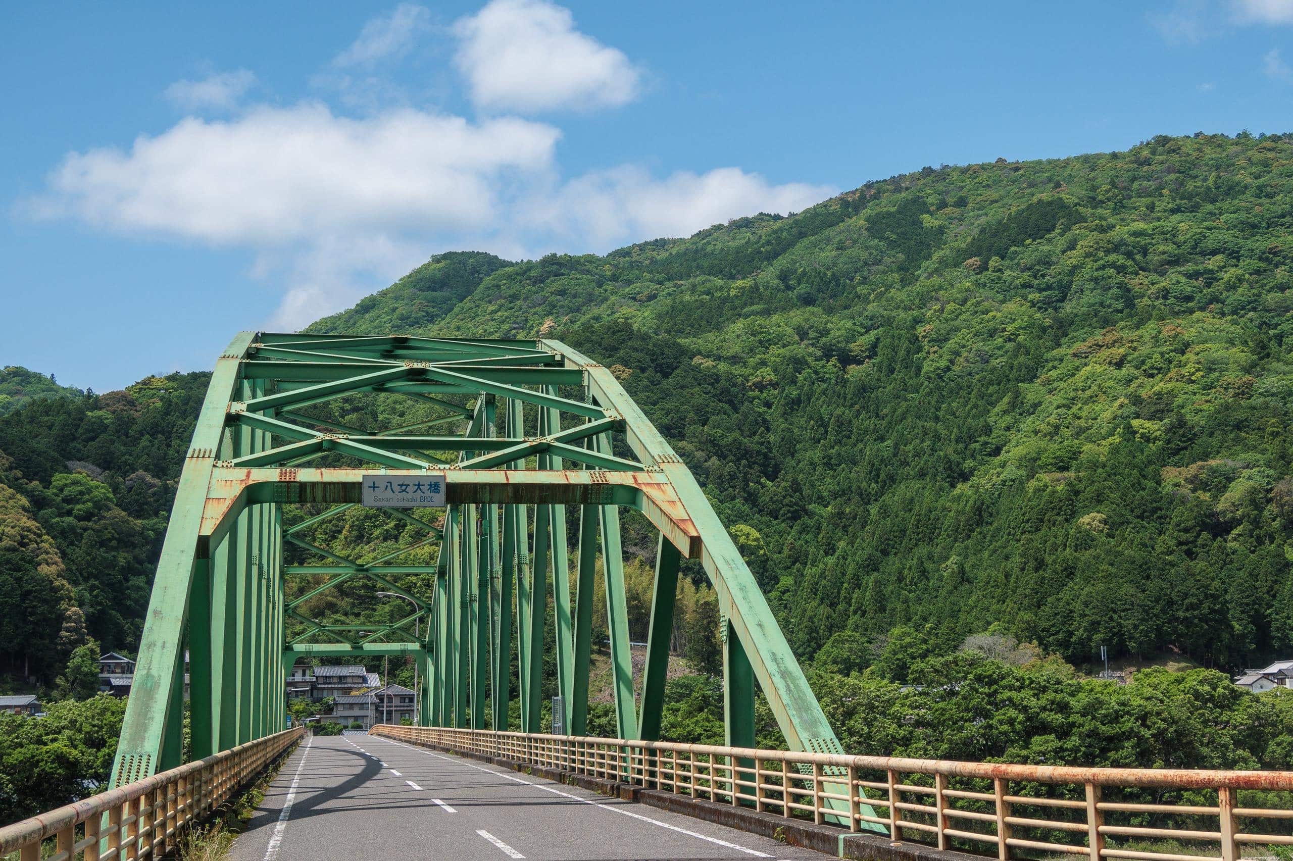
Crossing the Suii Bridge
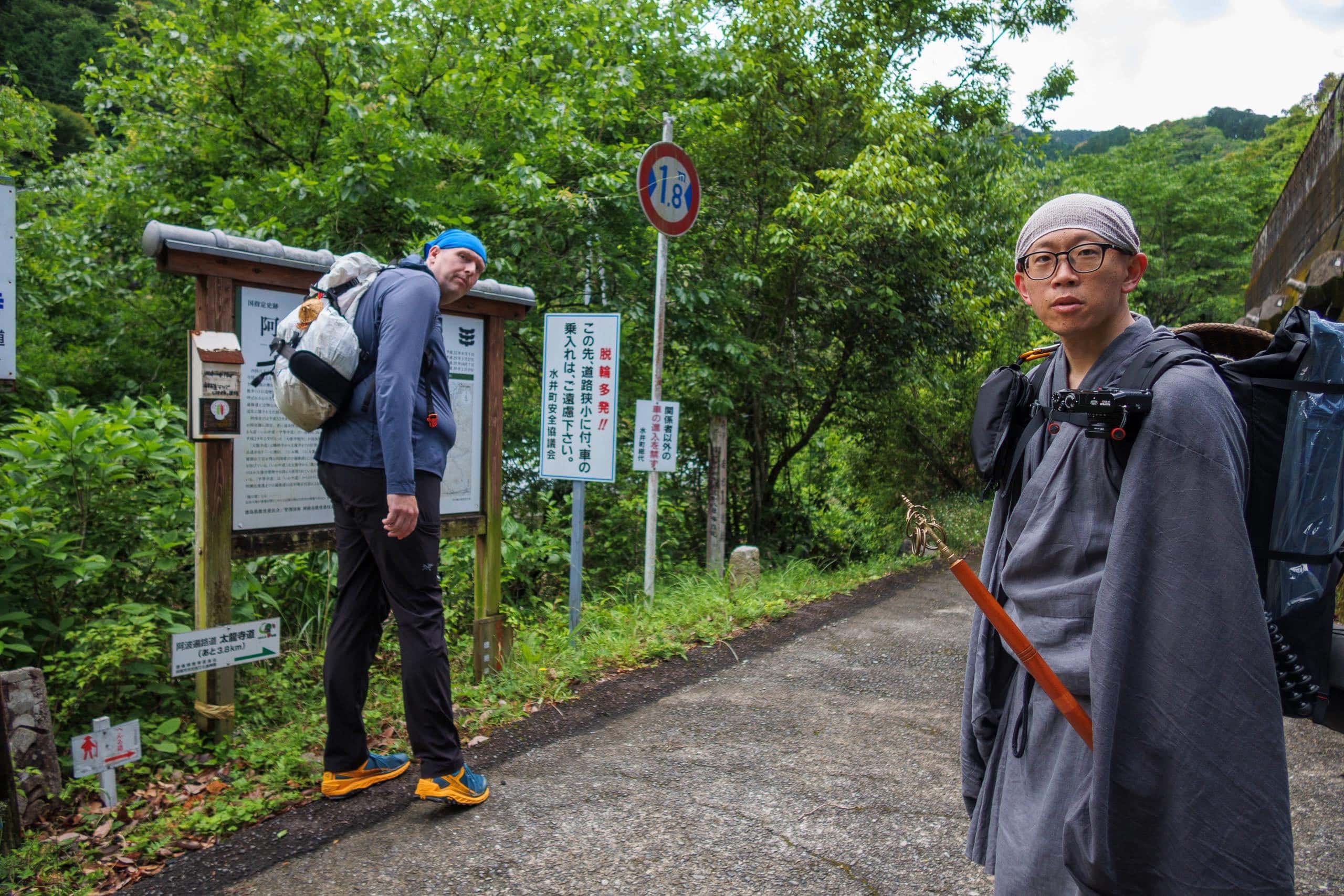
At the vending machine near Suii Bridge, we paused for cold drinks and chatted with our friend—an elderly neighbor who’d stepped out for a late-morning walk.
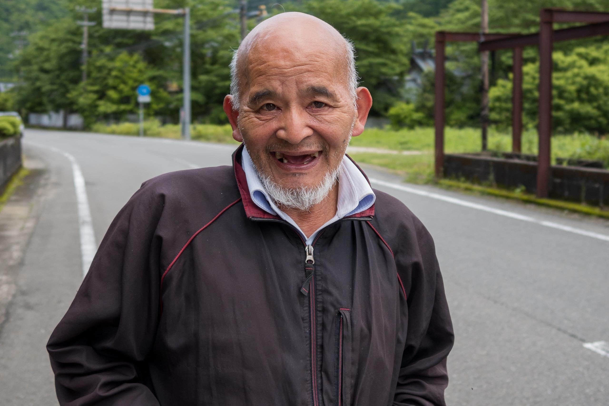
Suddenly, a monk in grey robes emerged from the same pilgrim path we’d just descended. He headed straight for the machine and bought a bottle of water.
From his robe color I guessed he might be a Zen monk, but he smiled and said he was Shingon (Kōbō Daishi’s esoteric school). A full-size camera hung from his pack strap — clearly a fellow lover of photography
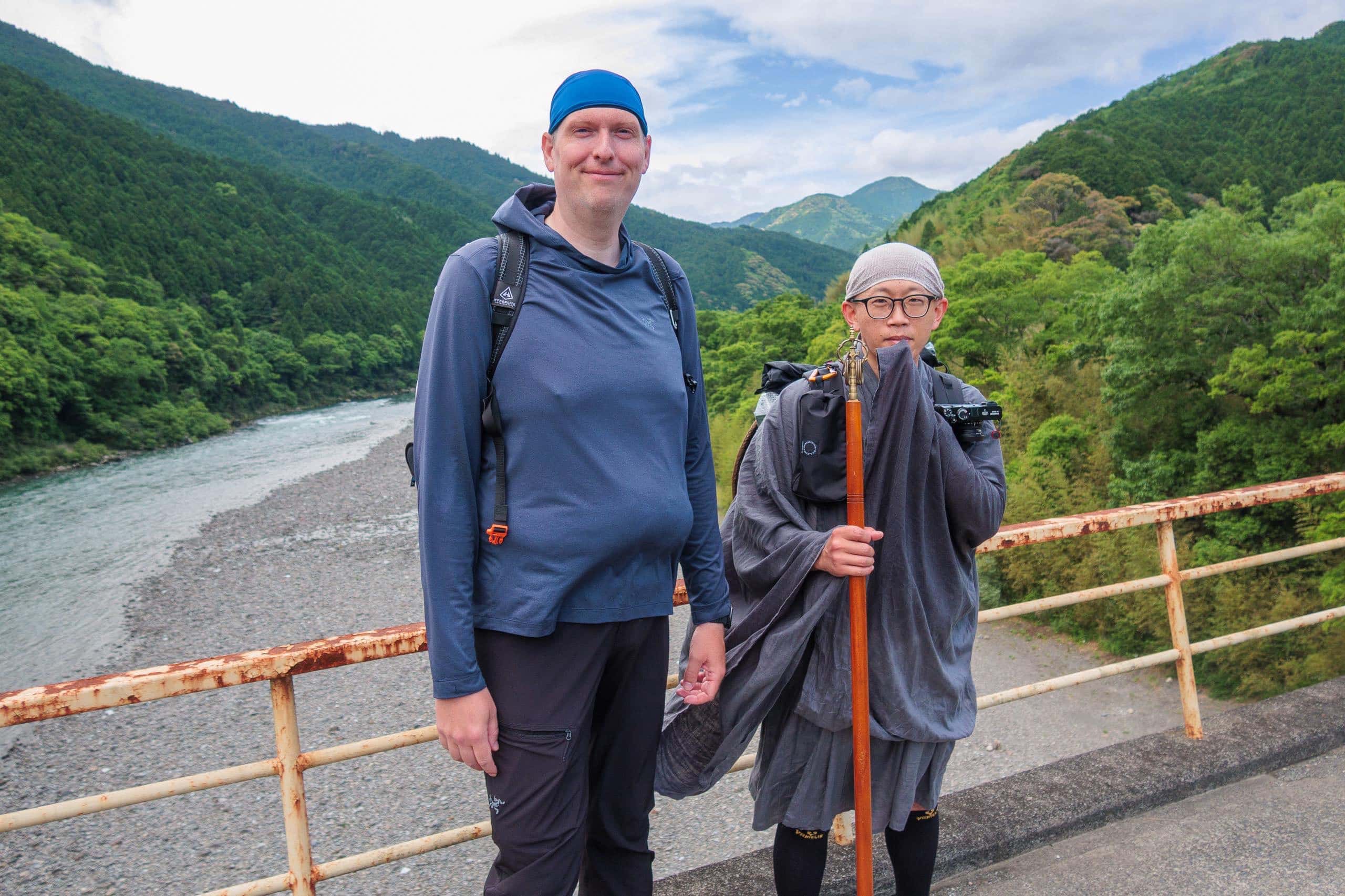
We walked together across the bridge and learned he was the head priest of Horinji temple 法輪寺 deep in the mountains of Kochi. Each year he completes the circuit of the 88 temples for his parishioners, carrying their name slips; usually he drives, but this year — for the first time in over a decade — he was walking again. His pack held a heavy stack of name slips destined for all 88 temples.
Because he needed to move fast, he took the direct Tairyuji-michi route toward T21. Before parting at the fork, we exchanged Facebook details to keep in touch. With temple duties, he might have to break off and return home at any time; perhaps we’d cross paths again.
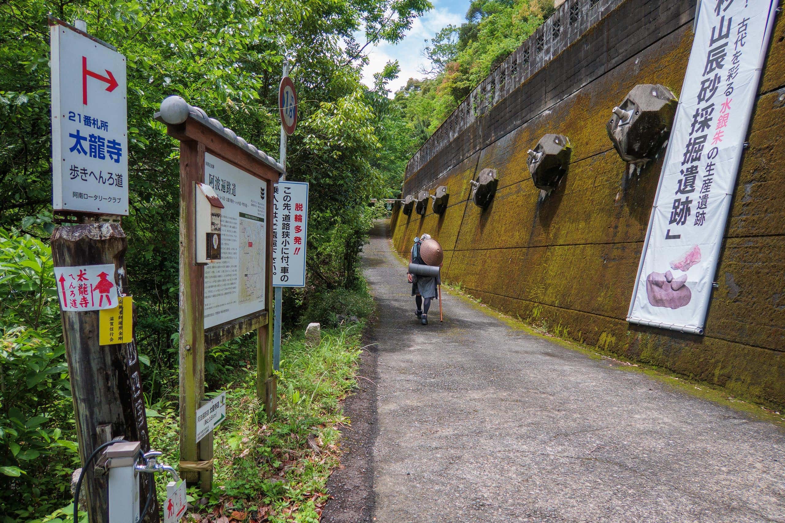
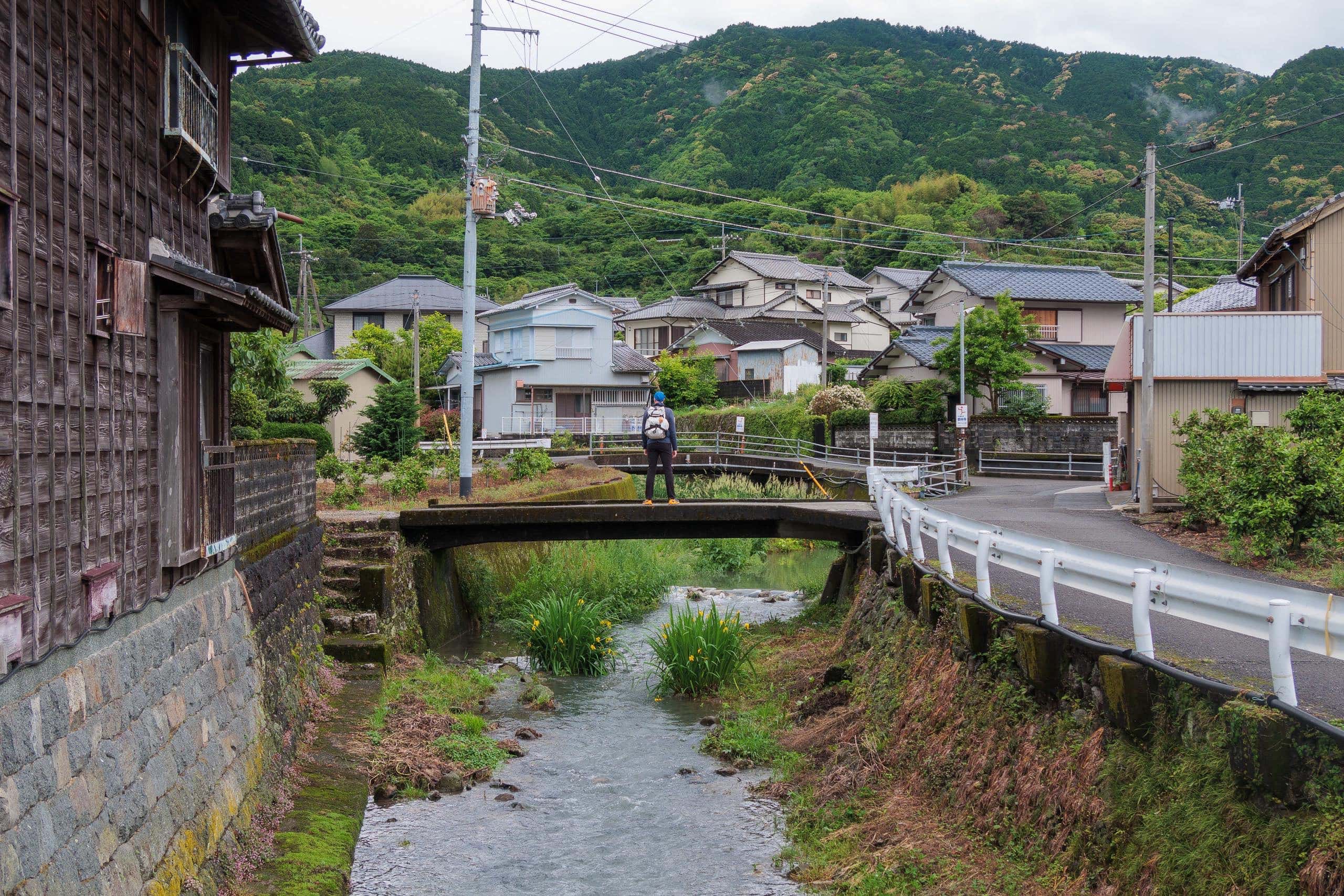
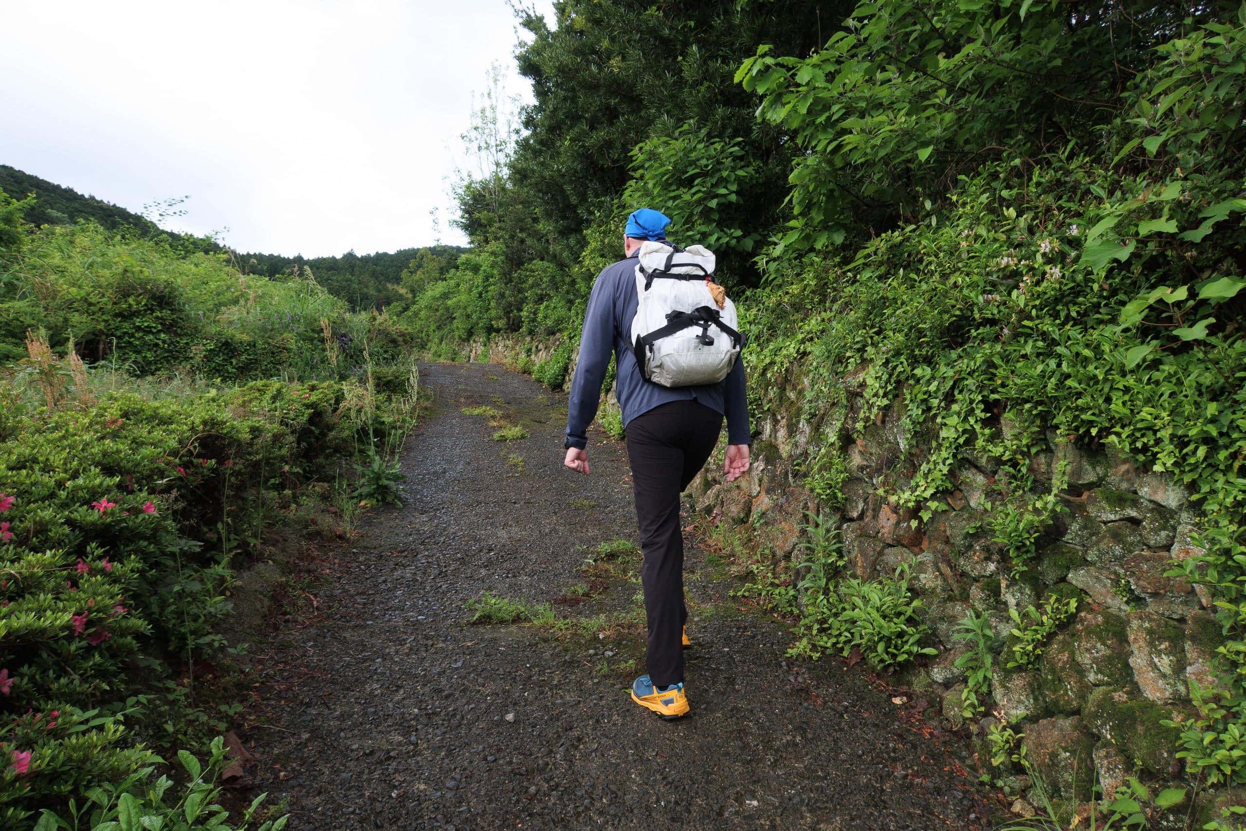
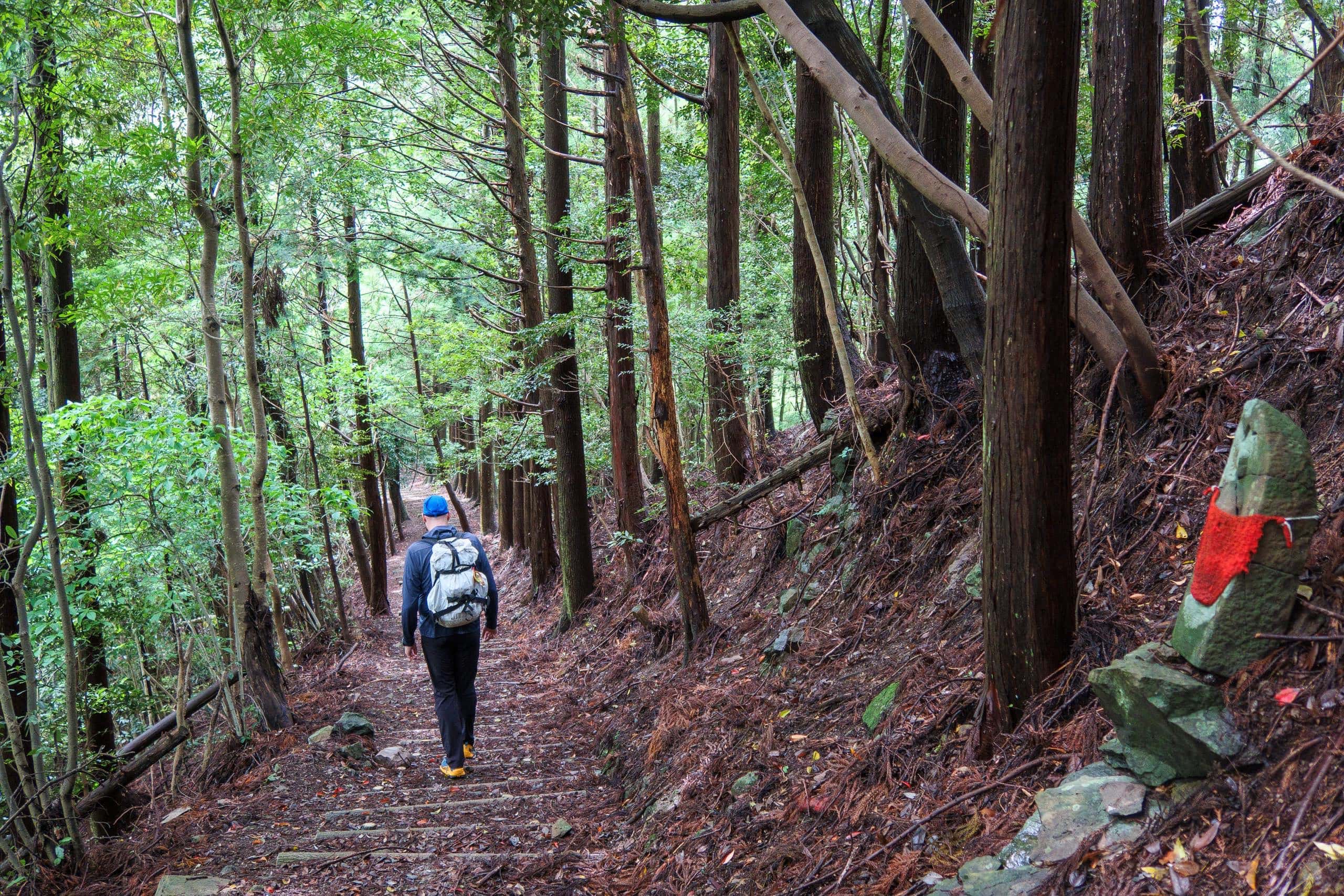
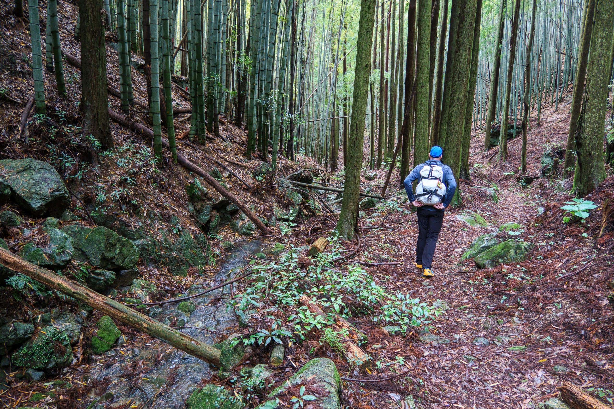
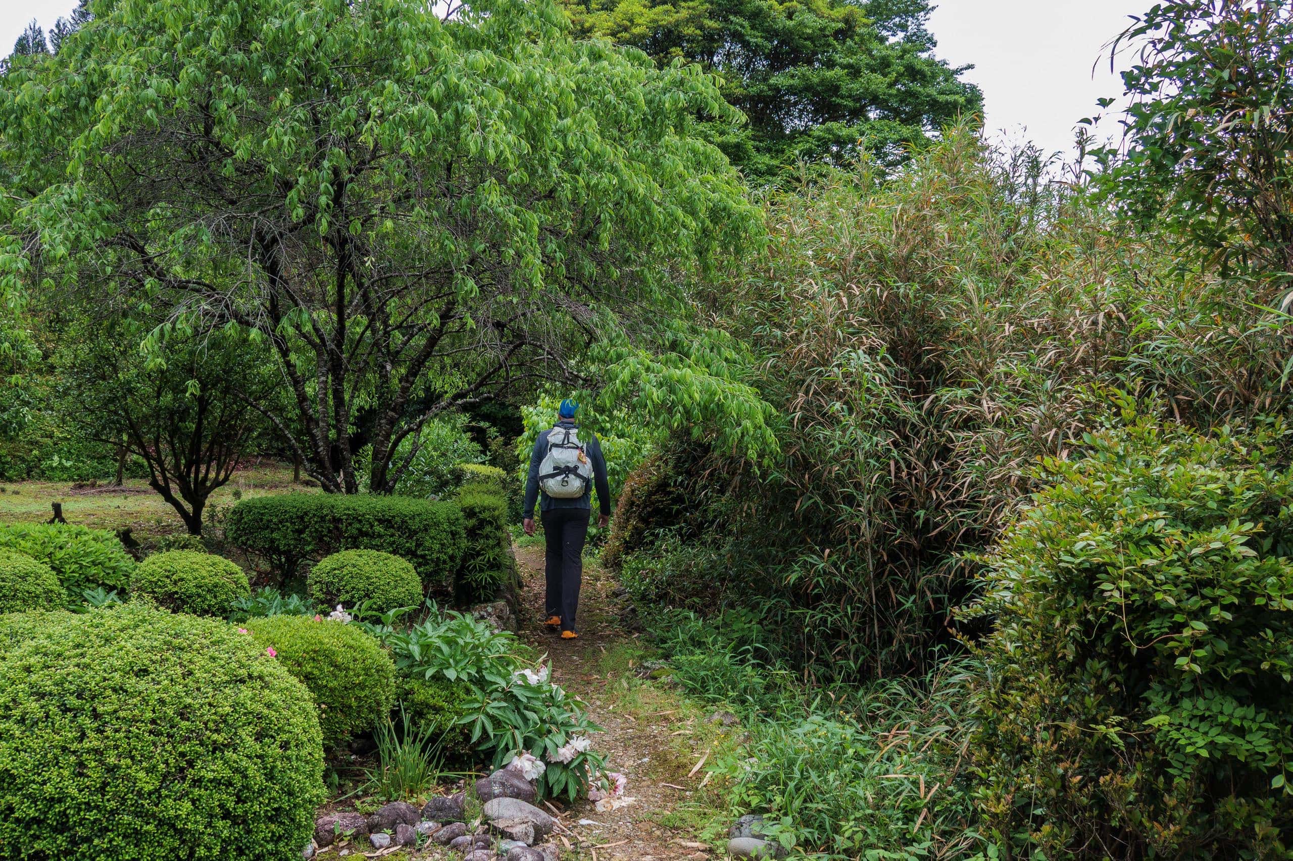
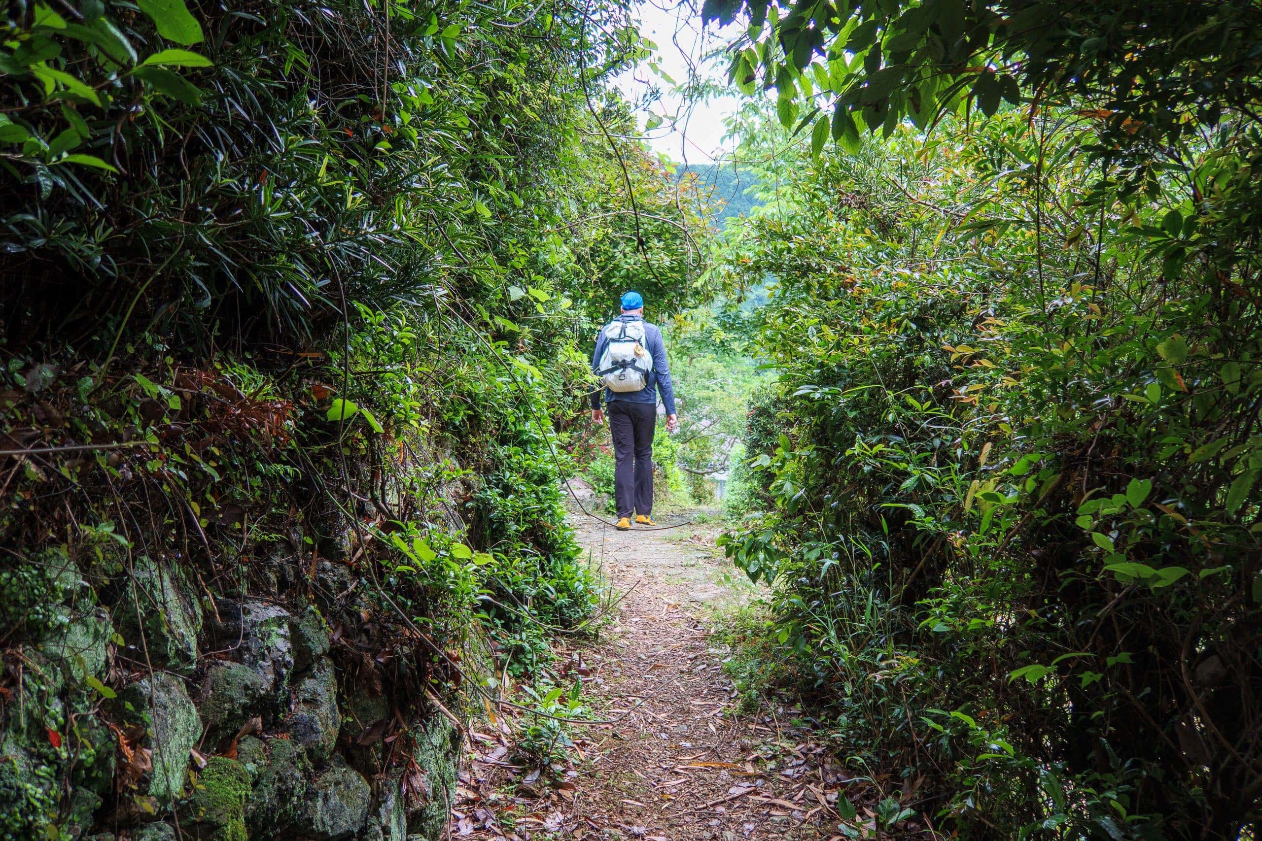
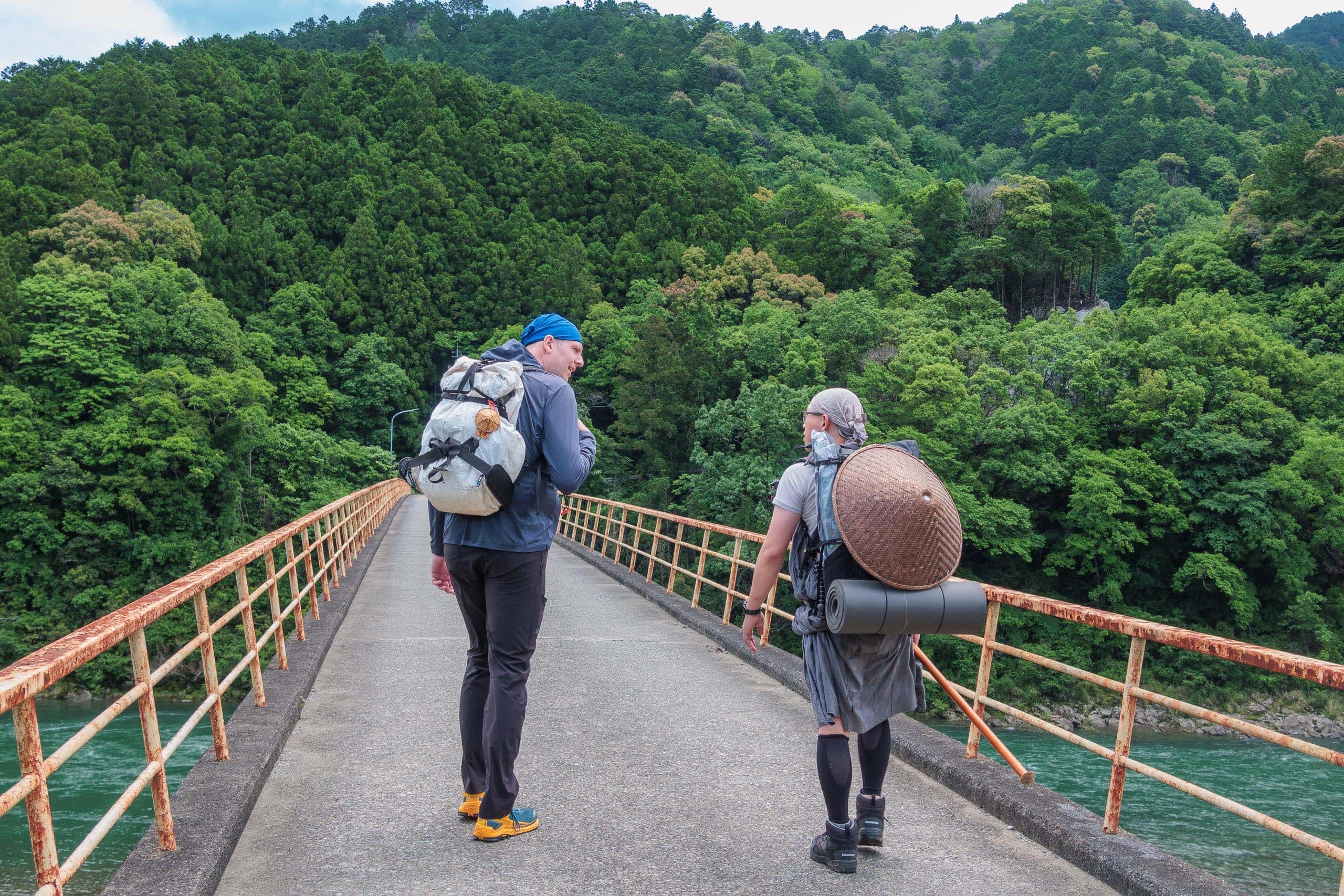
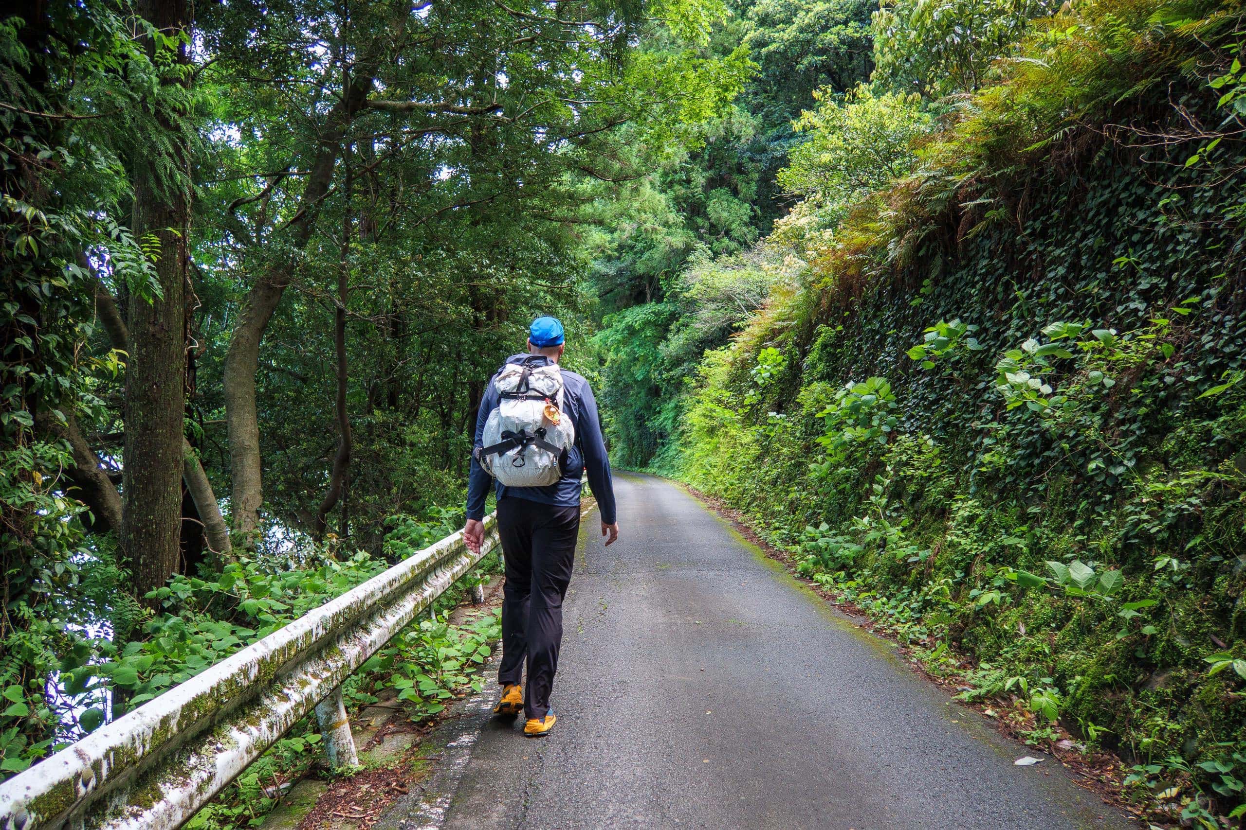
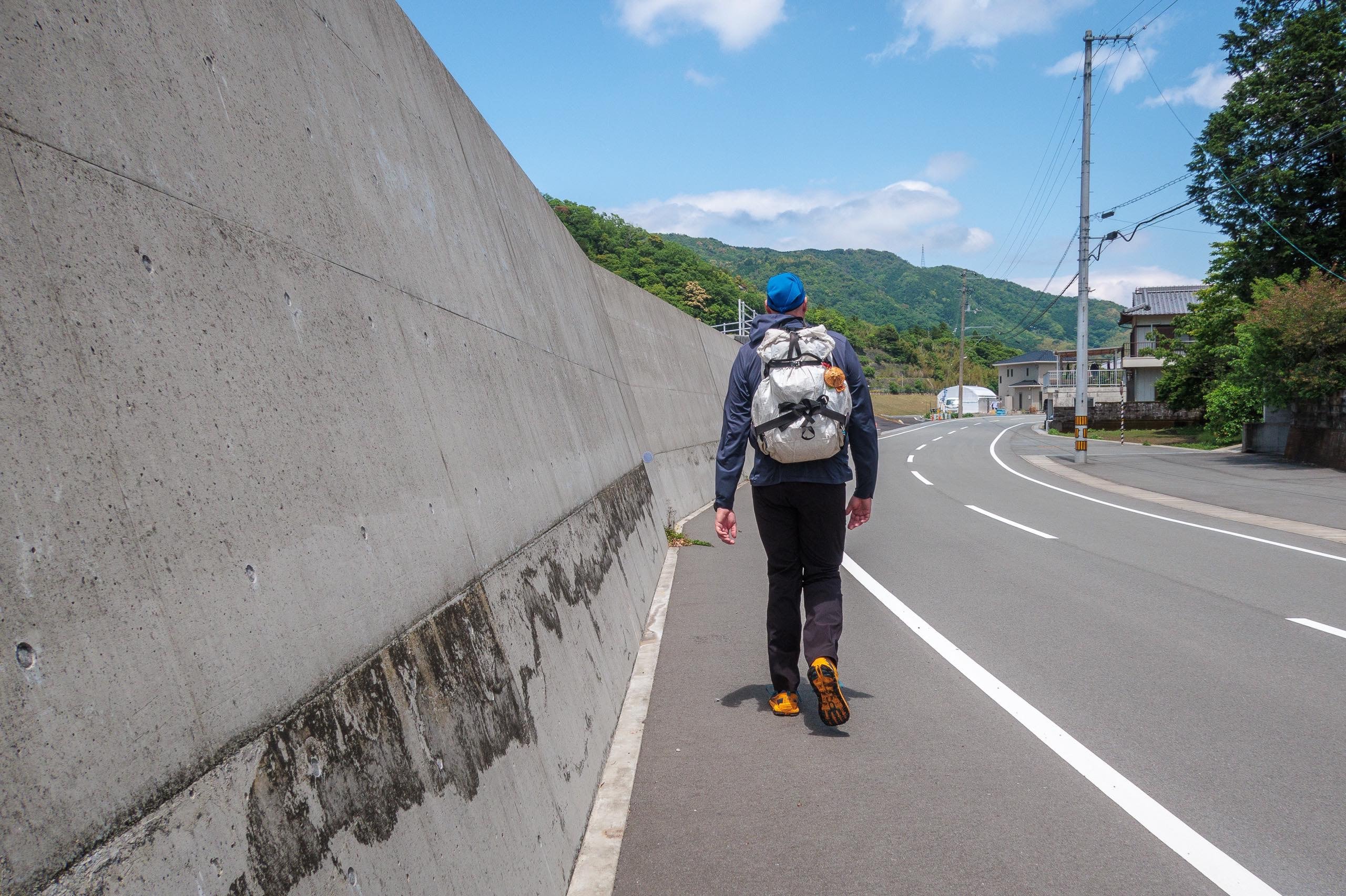
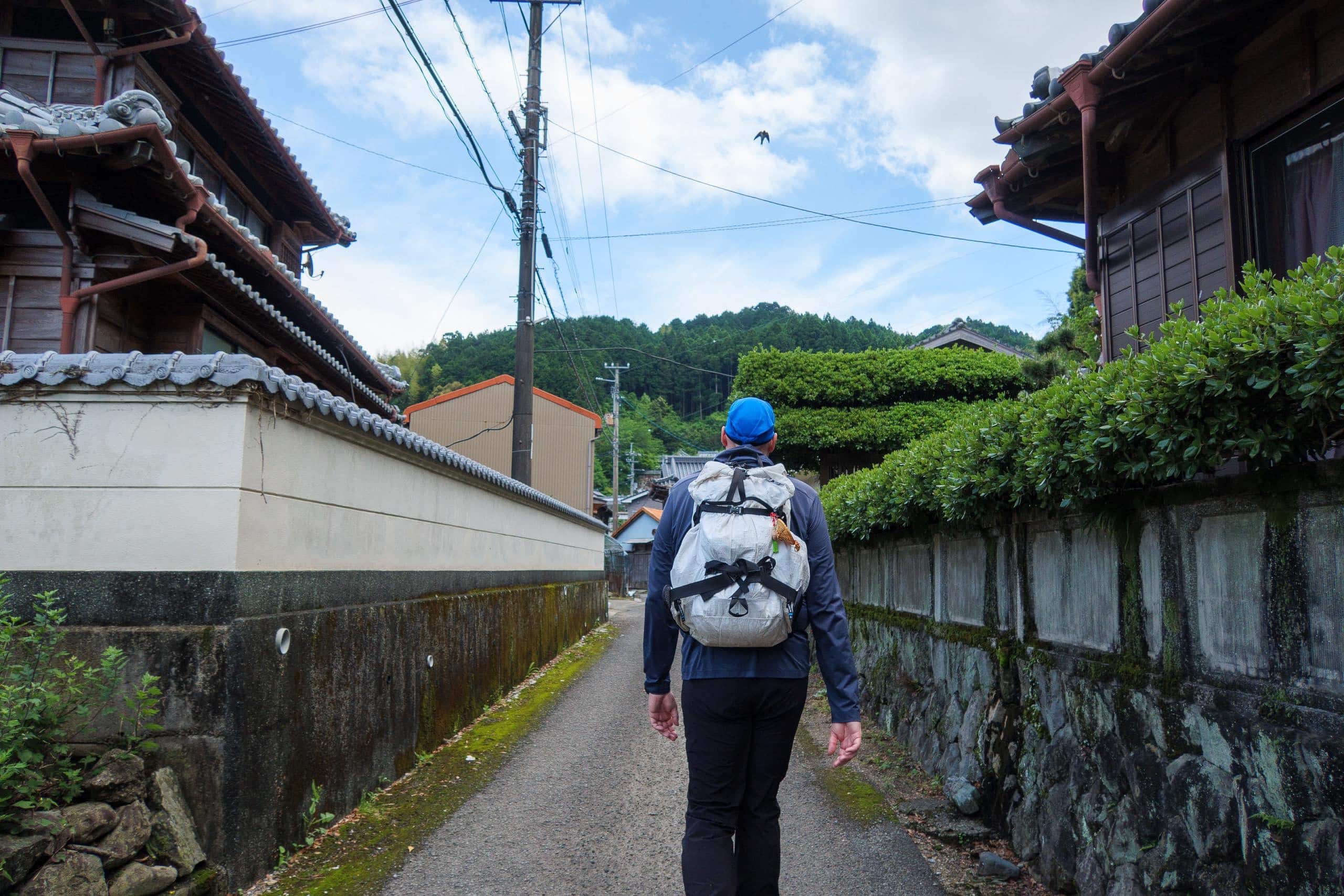
To the Trailhead of Kamo-michi
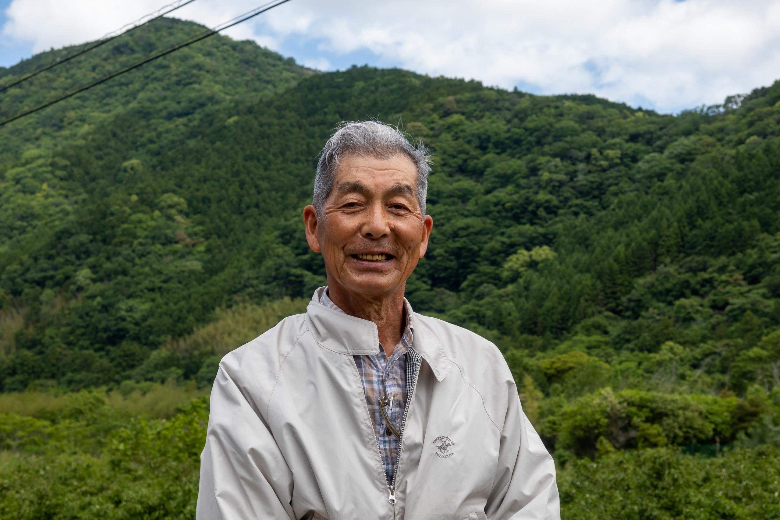
At the start of our extra 3 km walk down to the trailhead temple of Kamo-michi, we traded a few words with Yokoi-san, the leader of the local trail-maintenance group.
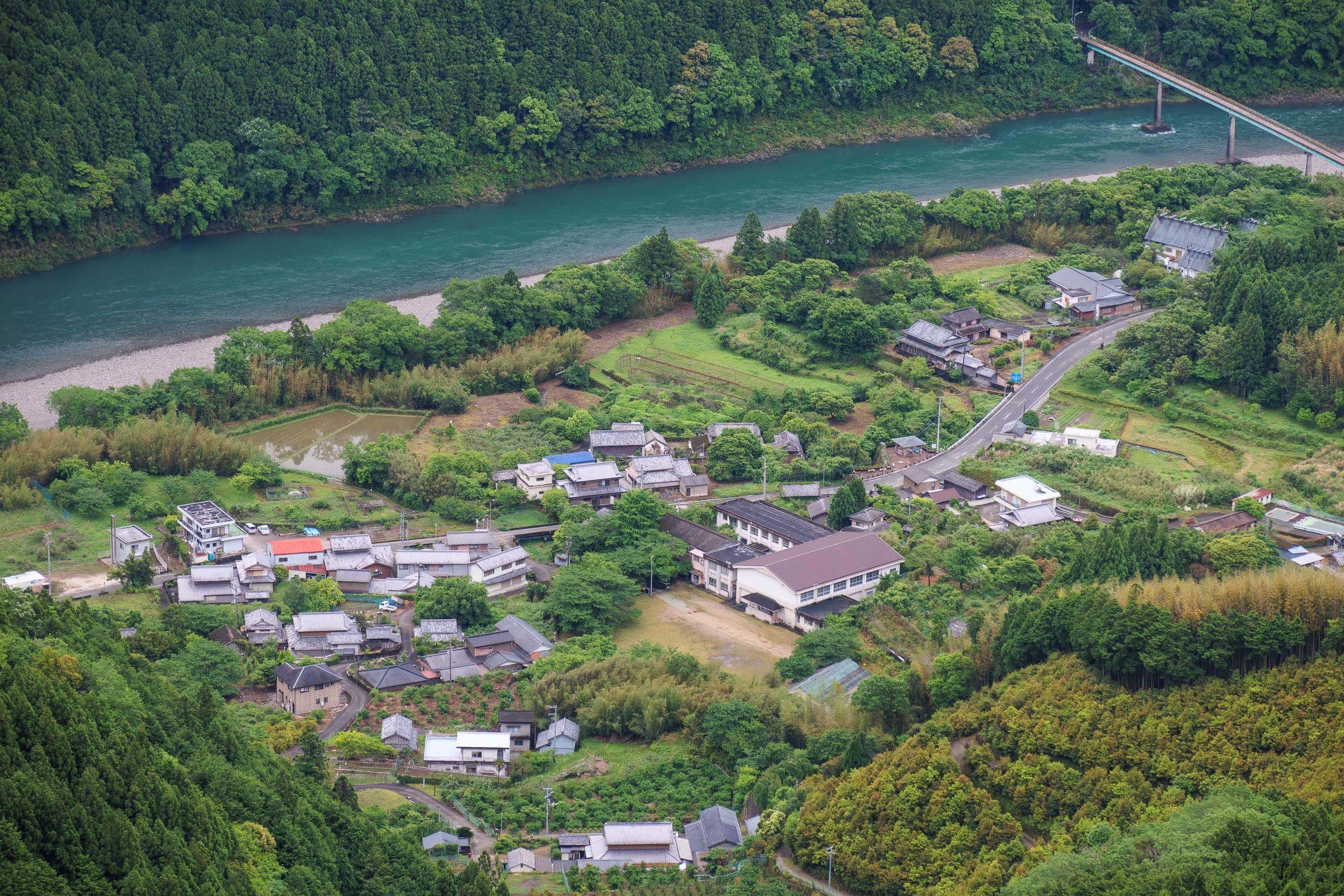
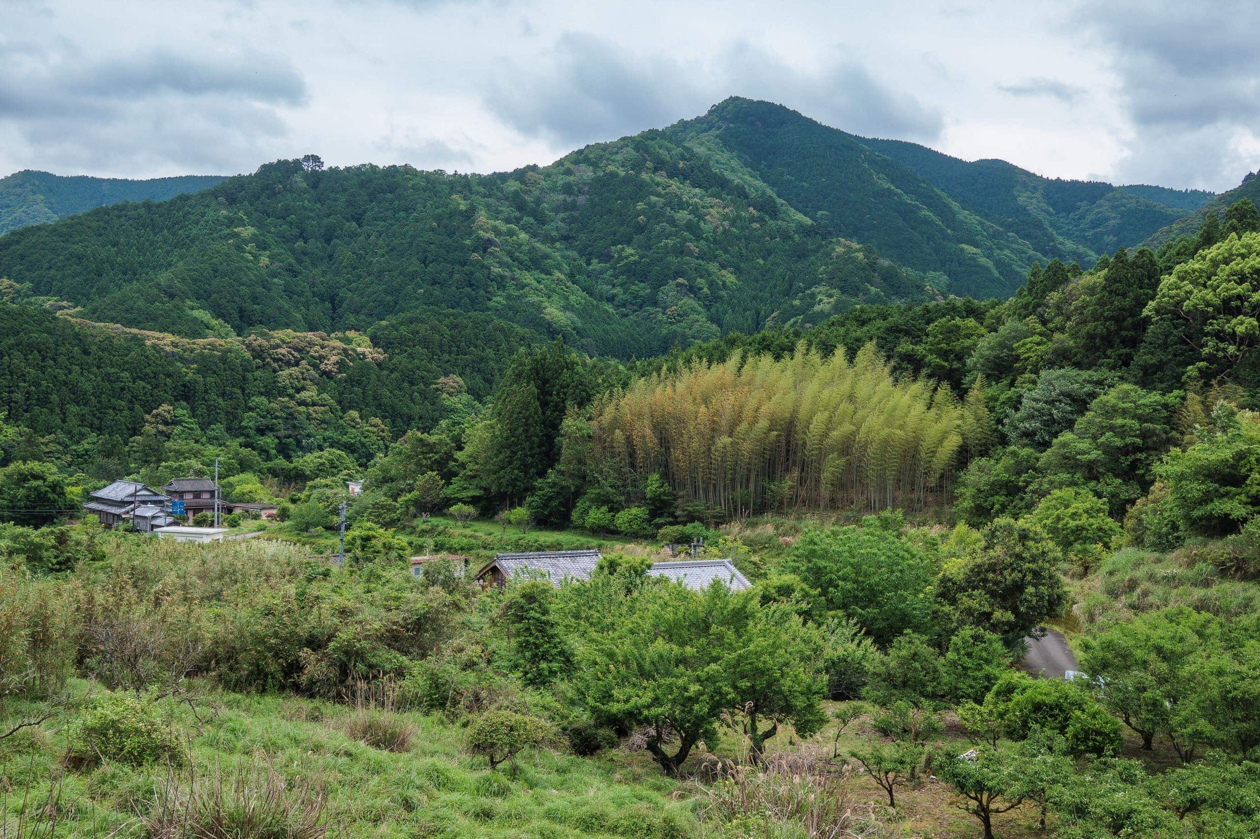
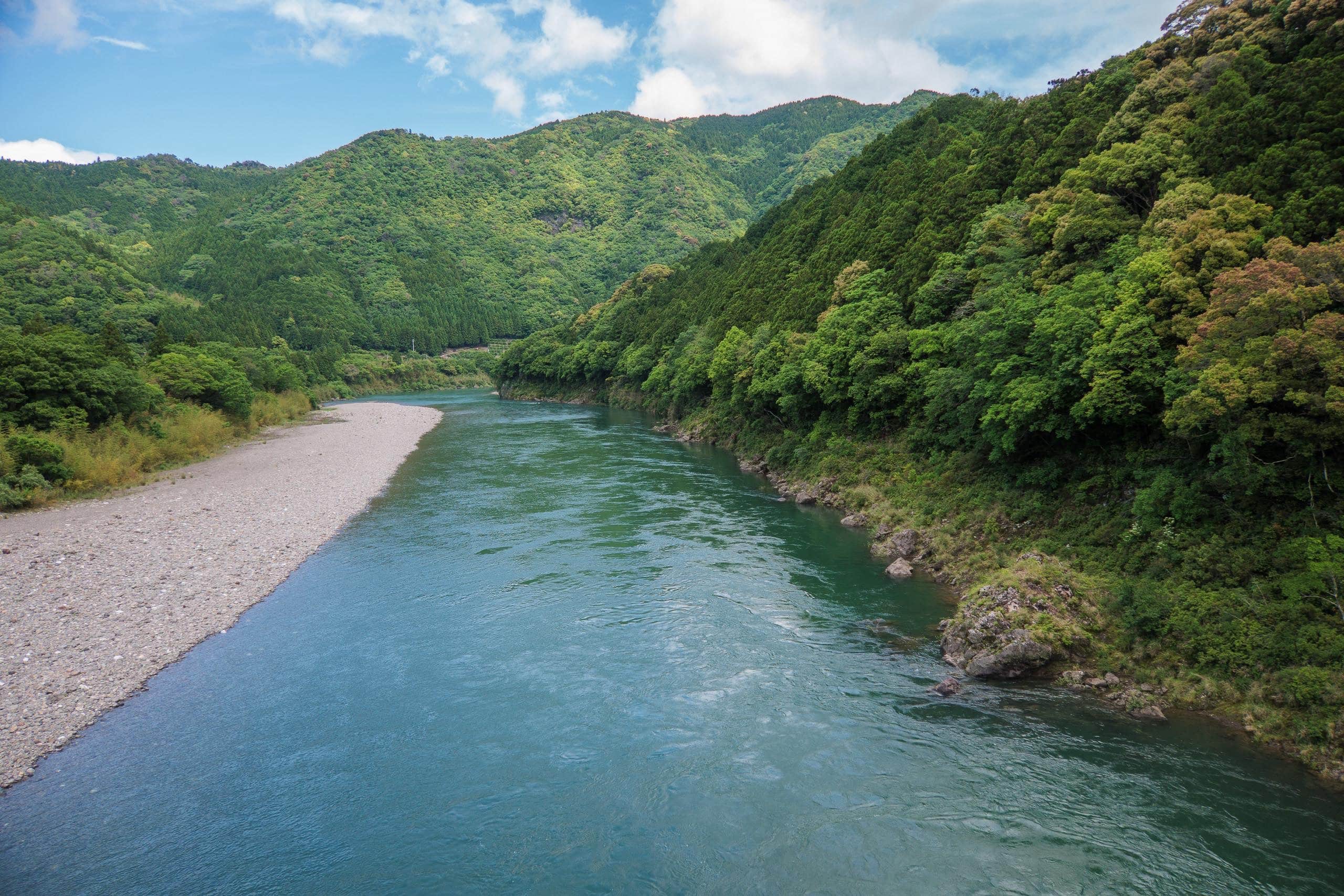
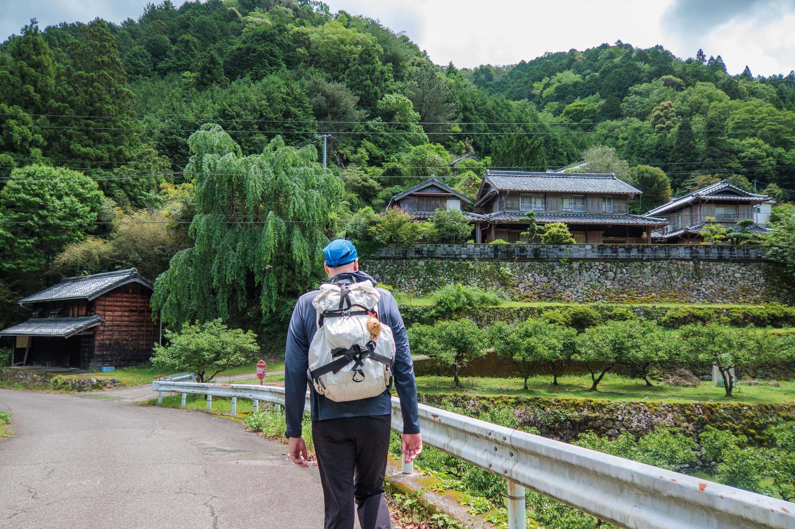
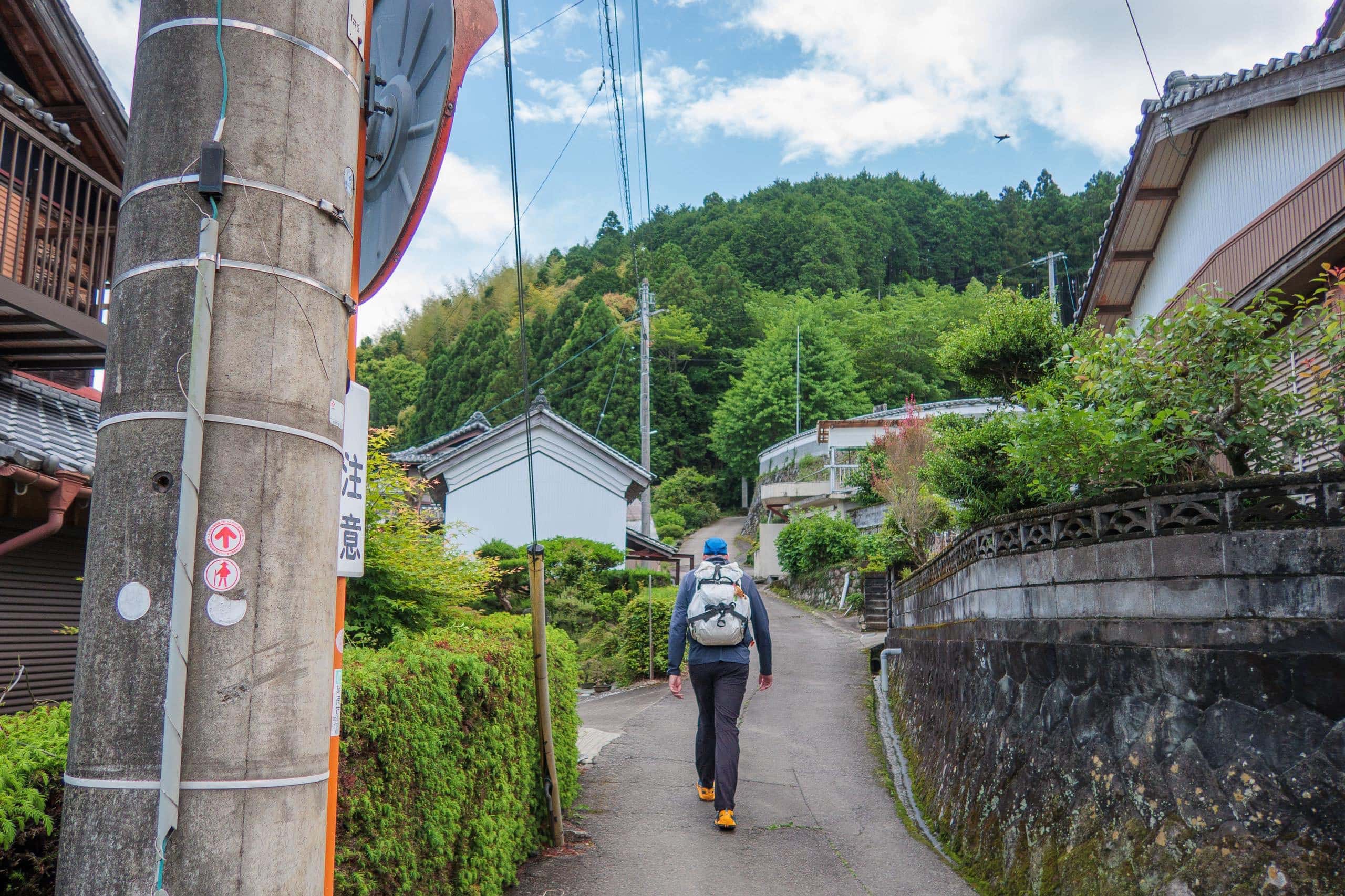
We followed a narrow lane along the south side of the broad, beautiful Nakagawa, shaded by trees and mercifully cool.
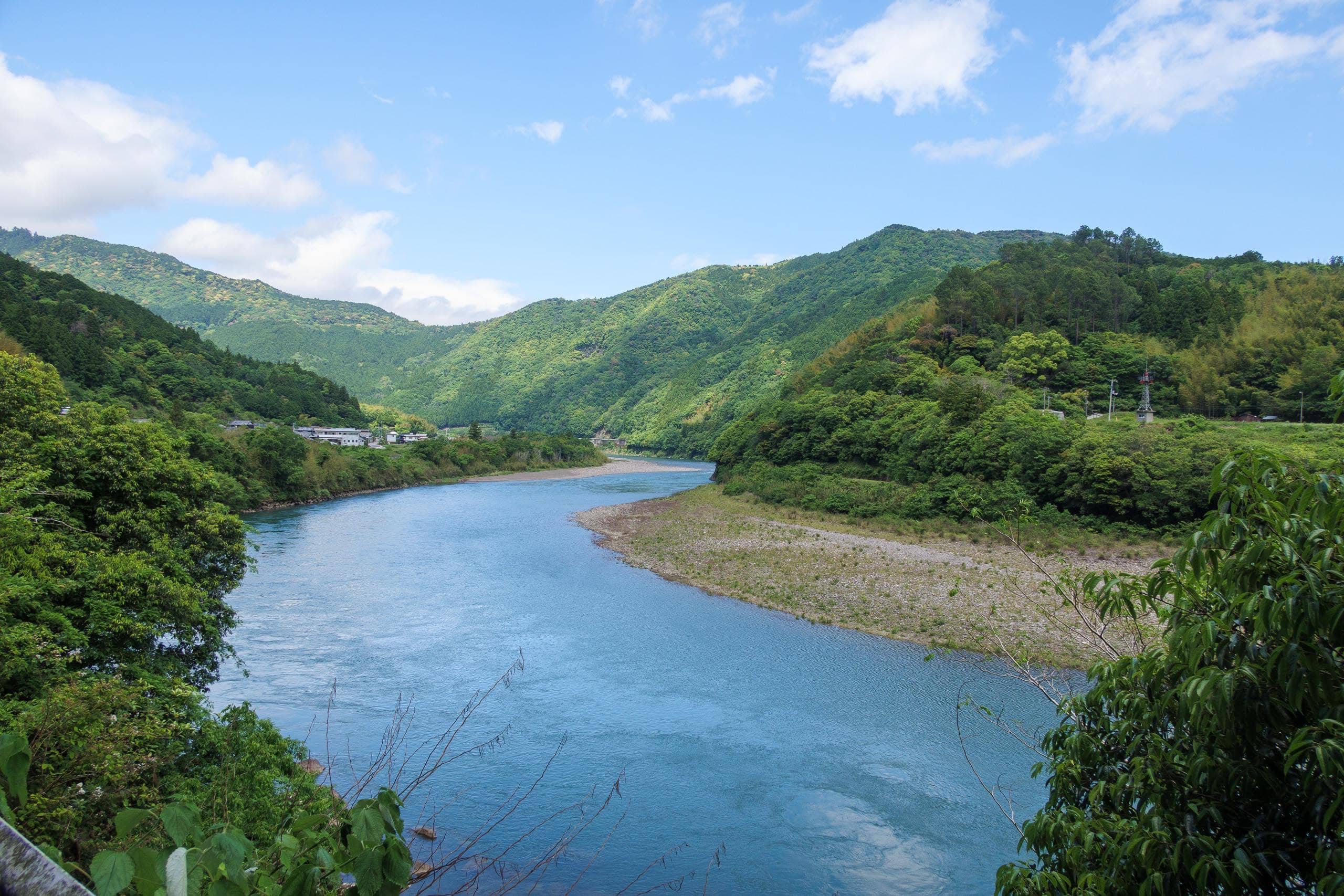
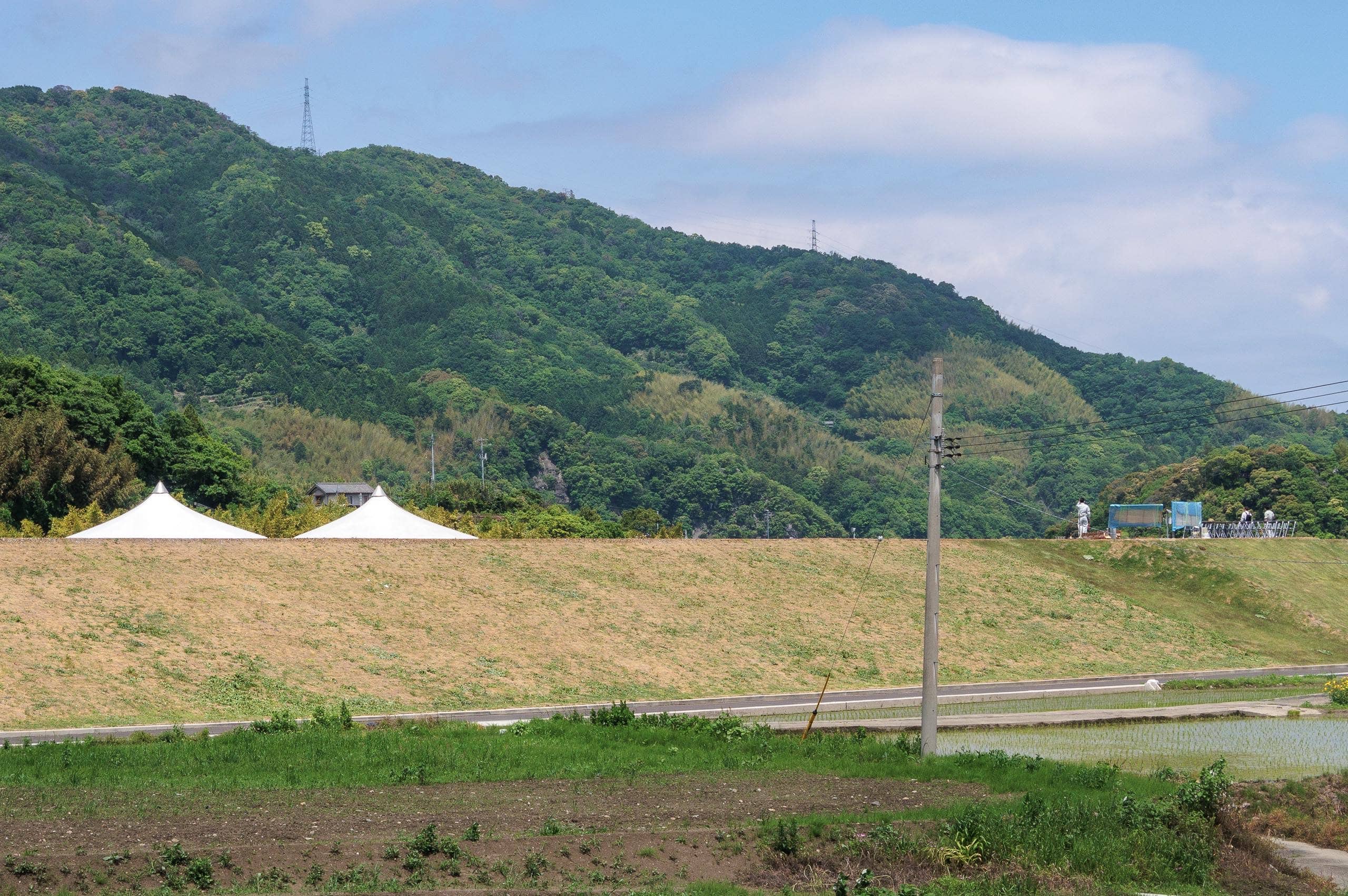
As we neared the next hamlet — home to the trailhead temple — we looked across the river at my old house. Beyond it stood the newly completed flood-control wall, a project years in the making.
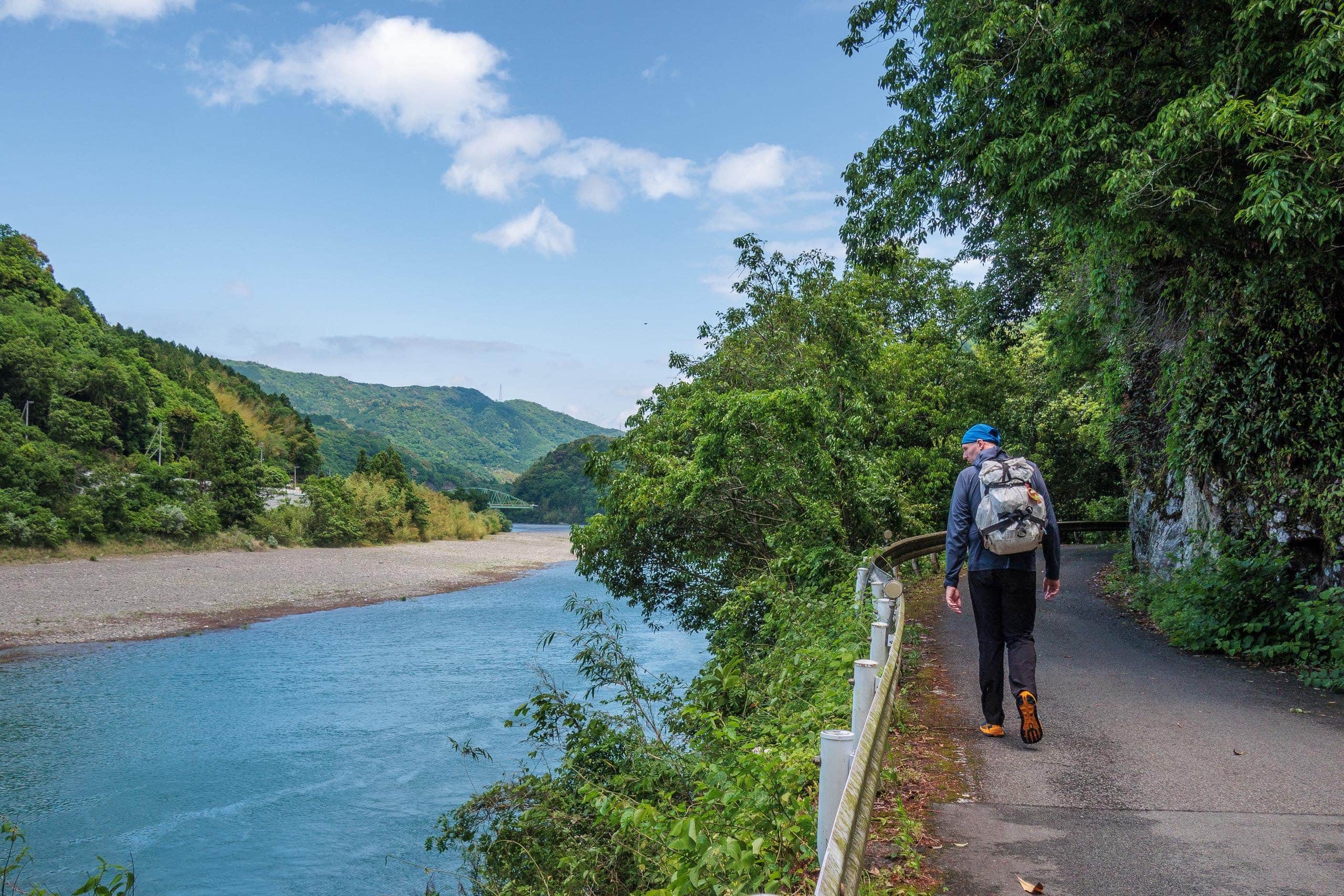
This village and its wide rice fields had flooded twice before; seeing the new, solid embankment tracing the outskirts felt like witnessing a long-awaited promise kept. On the broad top of the wall, people were setting up a big tent for the completion ceremony.
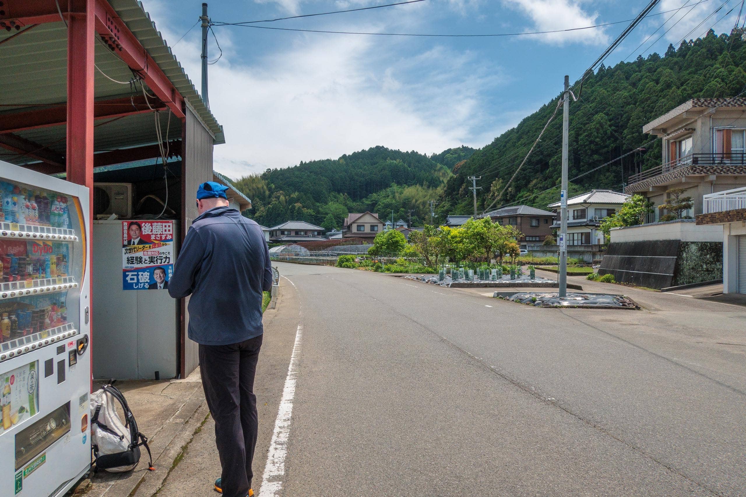
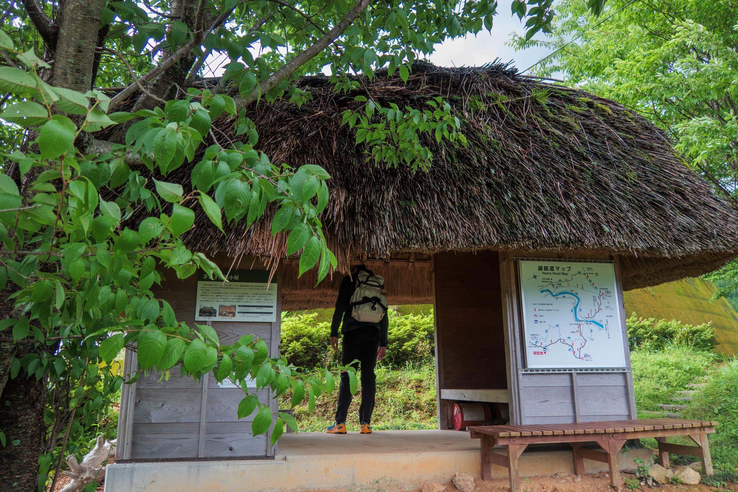
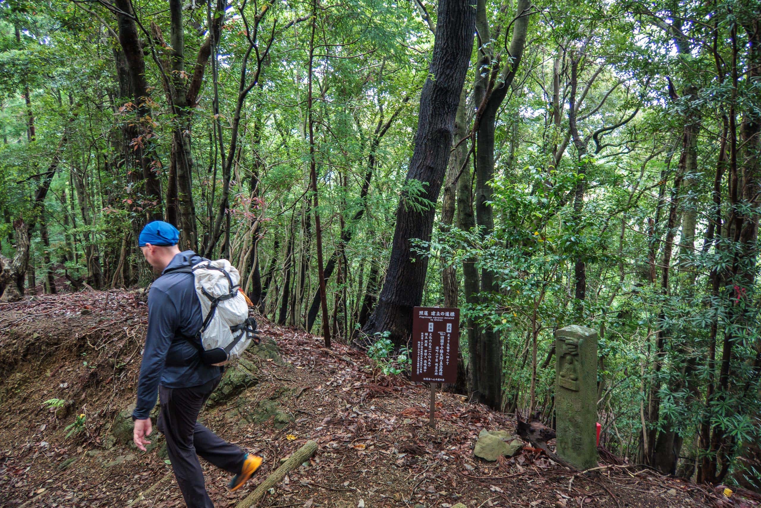
Just before turning onto the small path to the trailhead temple, we stopped at the last vending machine to stock up on sweet calories.
Half the day’s climbing was behind us; so far, so good. (To be continued in Day 20.2)
Shikoku Pilgrimage – Day 20
| Start | Michi-no-eki Hinanosato |
| Distance | 20.4 km |
| Elevation Gain/Loss | 1414 m / 1391 m |
| Finish | SOWAKA |
| Time | 10 h 18 m |
| Highest/Lowest Altitude | 549 m / 25 m |
| Visited Temples/POI | T20, T21 |
Route Data
The Shikoku Pilgrimage 2022 – Vol.1: late April to mid – June 2022
Comments