
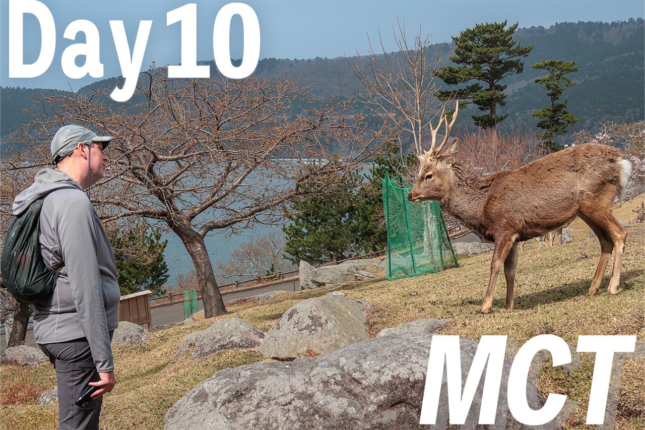
The Only Unbooked Night
During the fifty days of our hike on the Michinoku Coastal Trail, we always booked accommodations to secure our beds in the walls and roofs for the next seven days or eight.
It was mainly because we needed to plan how and where to send our camping gear boxes.
We always used Yamato delivery service (we call them “black cat” for their nationally recognized brand logo.) The black cat allows senders to designate a delivery date within the next seven days from the shipping.
But, except for a couple of nights of the planned camping, there was the only day we didn’t make a plan about where to stay for the night.
That was Day 8, which I am writing about now.
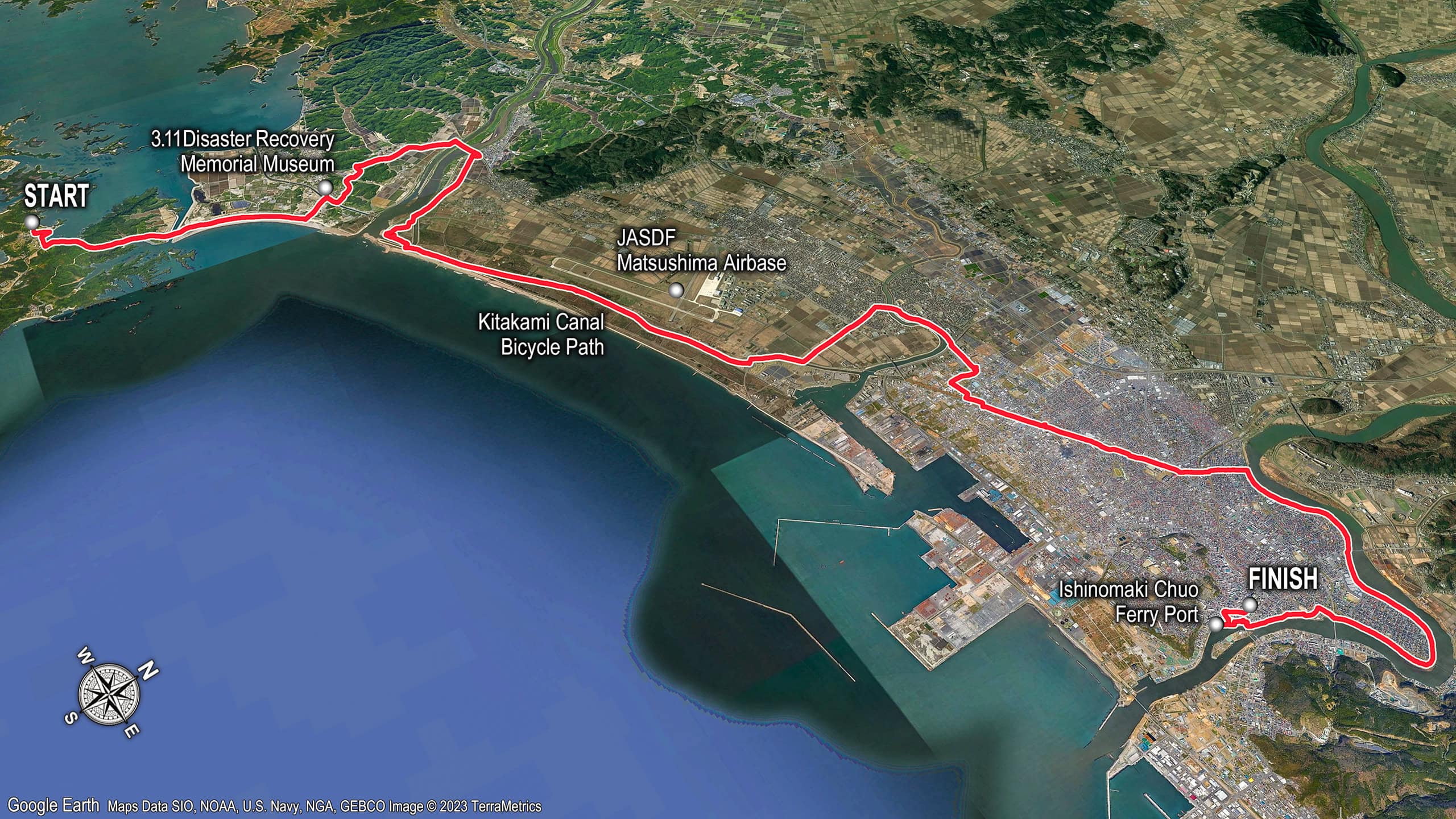
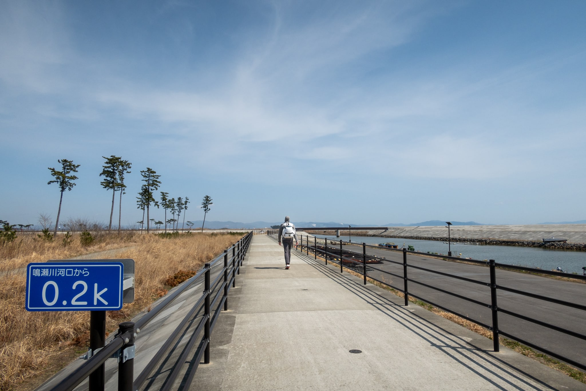
We were heading to downtown Ishinomaki city 石巻市, walking through Higashi-Matsushima city 東松島市 from Miyato island 宮戸島 area today.
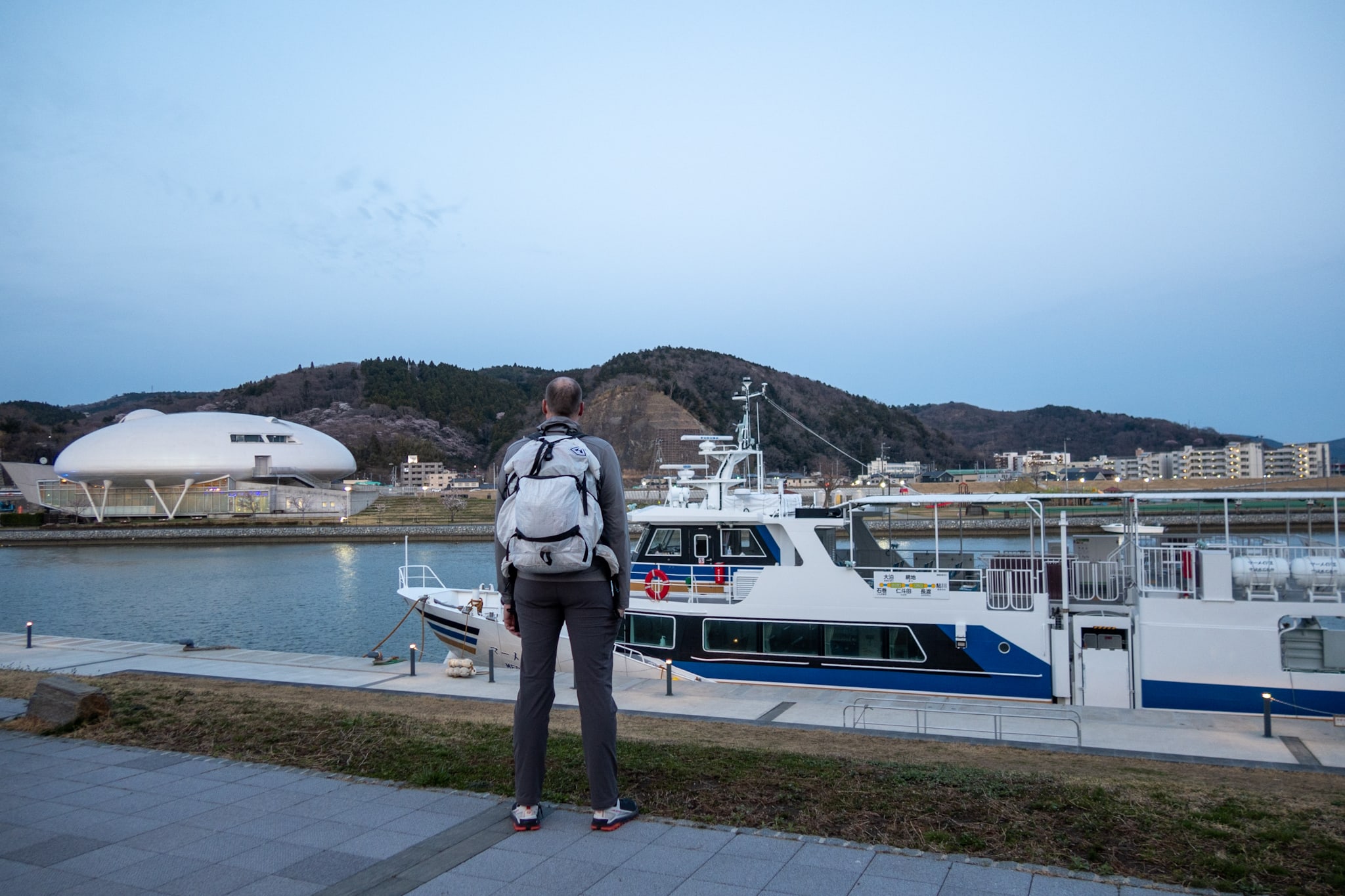
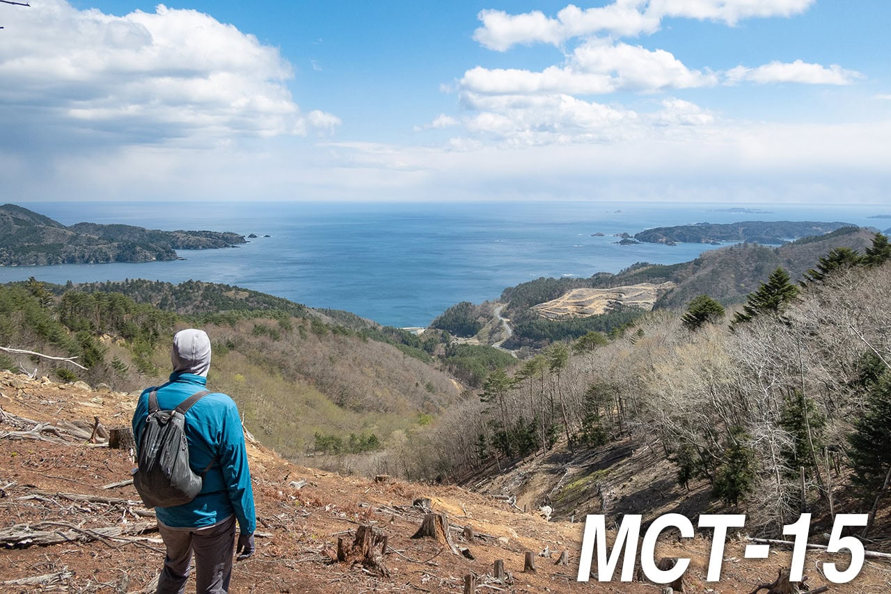
Our tentative goal for the day was Ajishima ferry line Ishinomaki-Chuo port 網地島ライン石巻中央発着所 from where our second “hiking on islands” part in the Michinoku Coastal Trail starts next day.
From the all-fish-feast minshuku where we stayed last night to the port was a 35 km walk.
Honestly, I wasn’t confident I could walk that far yet.
The last two times we spent all day on concrete—broad, shadeless flats—my feet and back hurt badly in the final hours. According to the MCT Map Book, today’s route would be more hard-surface road across a very open area…
We looked hard for a place to stay around the 25 to 30 km mark, but most lodging in this city sits either near the central station and ferry port or far off the MCT route near a highway exit.
Well… we did find one interesting option. There was a cluster of “Love Hotels” about 30 km from our start on Miyato Island.
The love hotels, often called just “La-bu-ho” in spoken Japanese, usually don’t need (or are probably unavailable for) bookings. So, depending on my feet’ condition when we reach the area, we could drop in one of them and call it a day.
Love hotels aren’t as unsuitable as they sound for long-distance hikers in Japan.
These days they don’t cater only to couples: many welcome solo guests and families, and the rooms often have solid Wi-Fi, a microwave, a refrigerator, and — always — oversized bathtubs and king-size (or larger) beds. Often even sauna, swimming pool and video games!
You can order food and drinks to the room, and some properties allow paid guests to step out and re-enter freely during the stay for dinner or shopping.
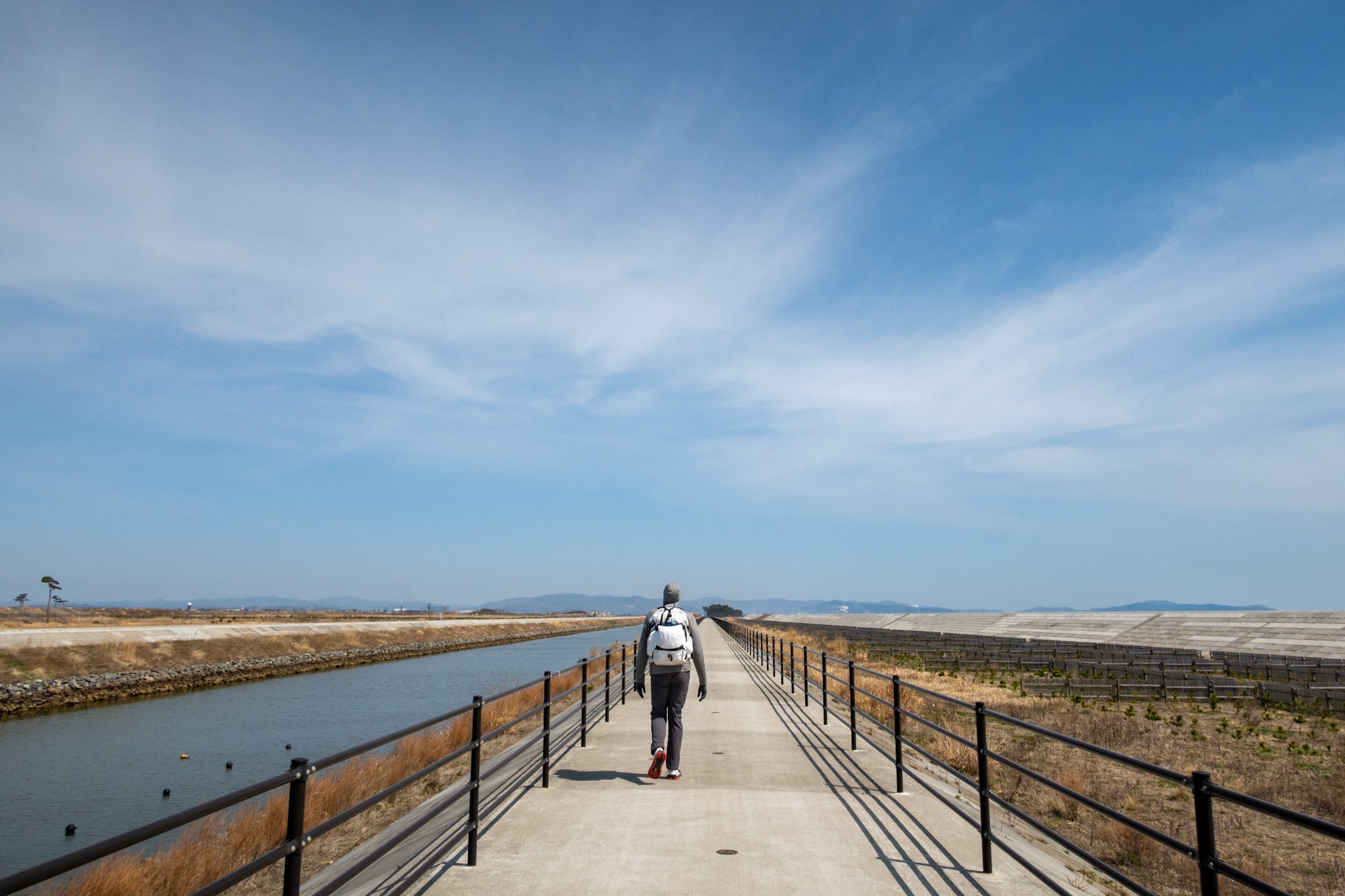
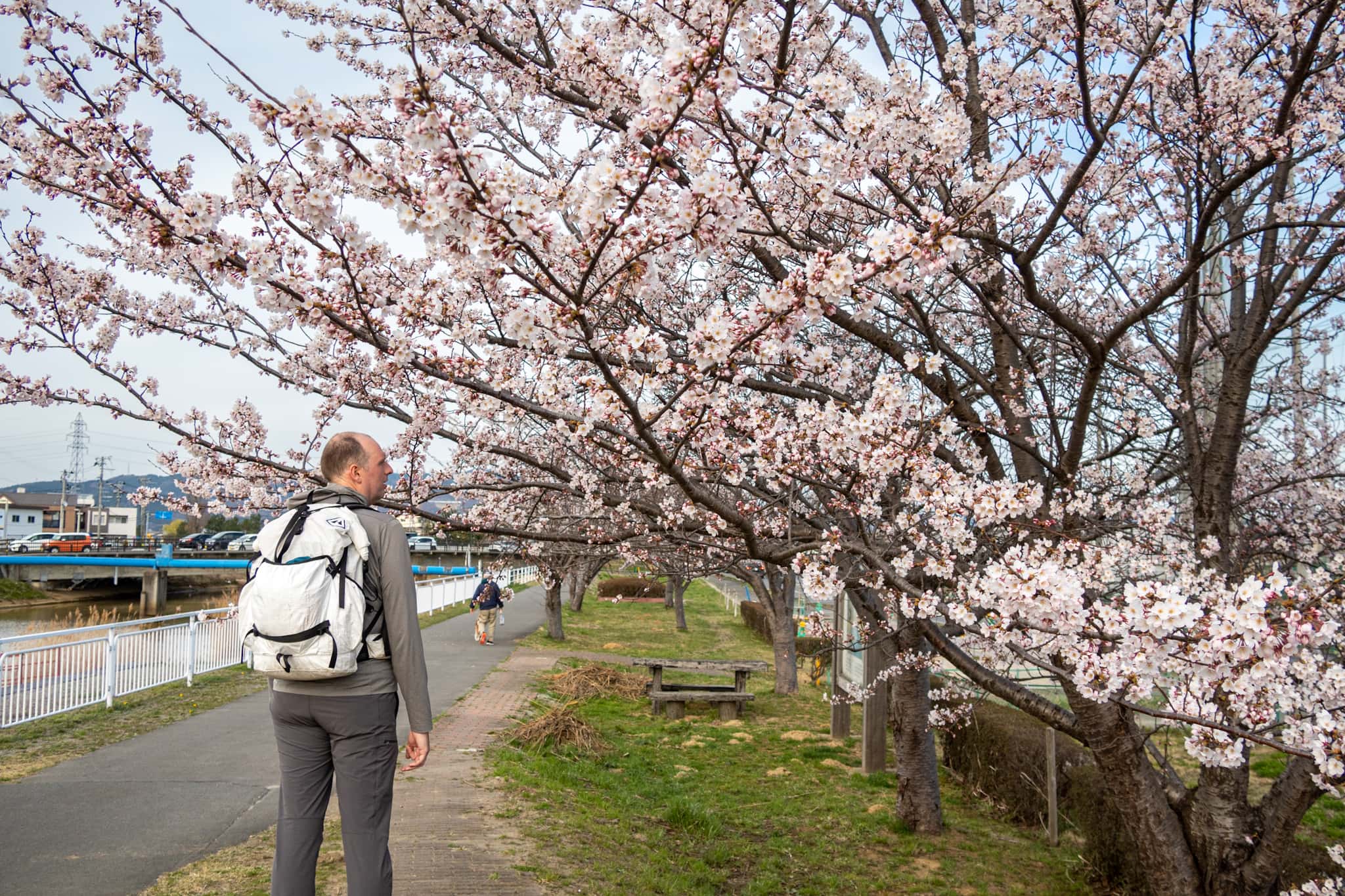
So, without a fixed endpoint, we set off early in the morning.
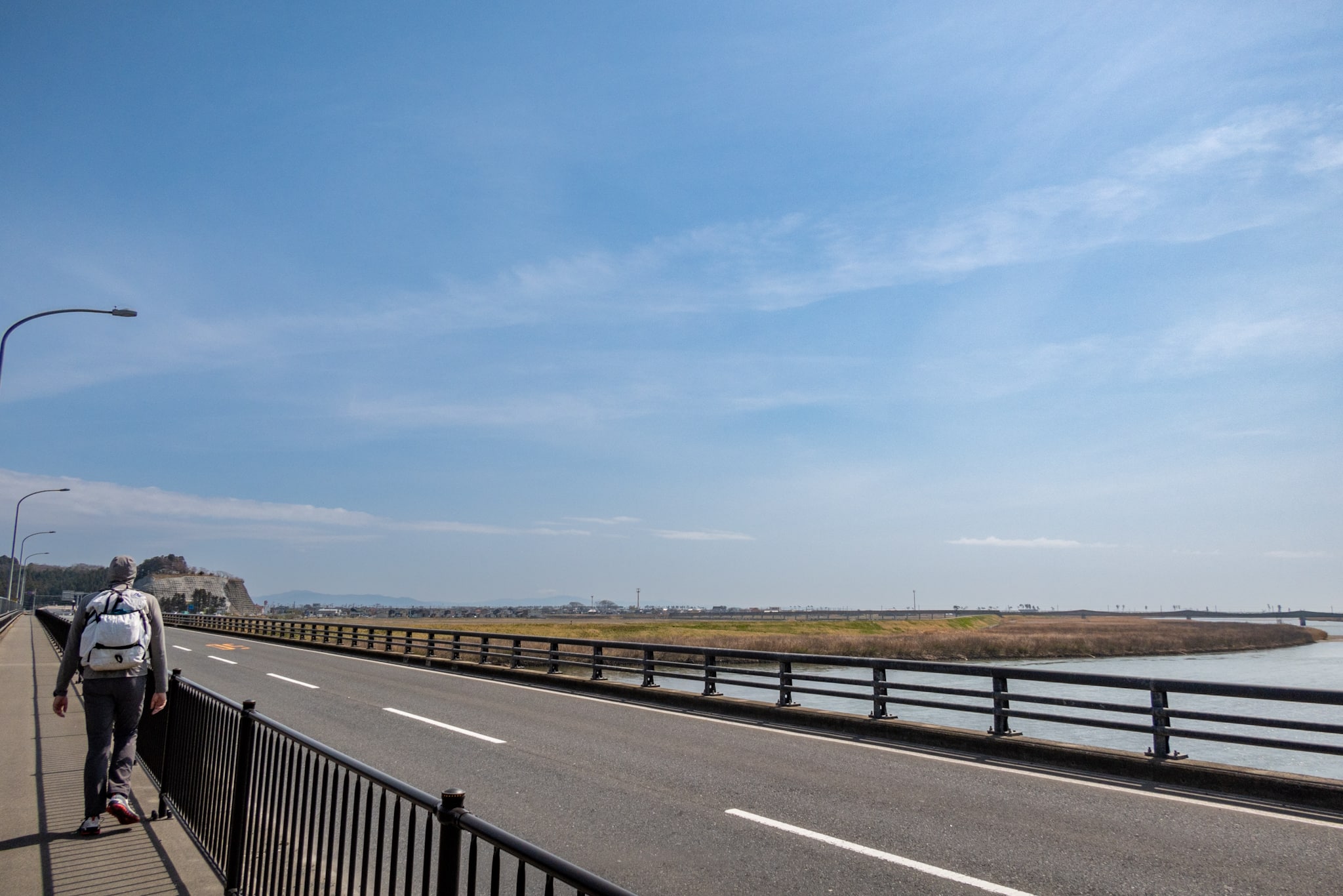
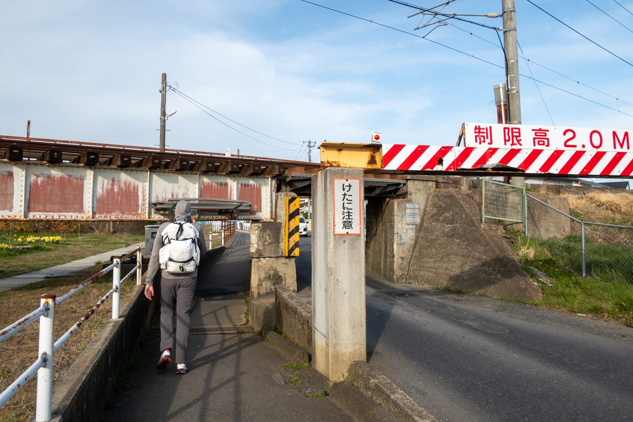
A Local Tip: Walk the Seawalls
Passing the dock where we’d gotten off Suzuki-san’s fishing boat the evening before, we saw another small fishing boat flying an MCT flag. A different man was aboard.
It was too early for the boat to have already carried northbound hikers from the Sabusawajima 寒風沢島 side to Miyato; he was probably waiting for southbound hikers coming from Ishinomaki City to start their three-island day.
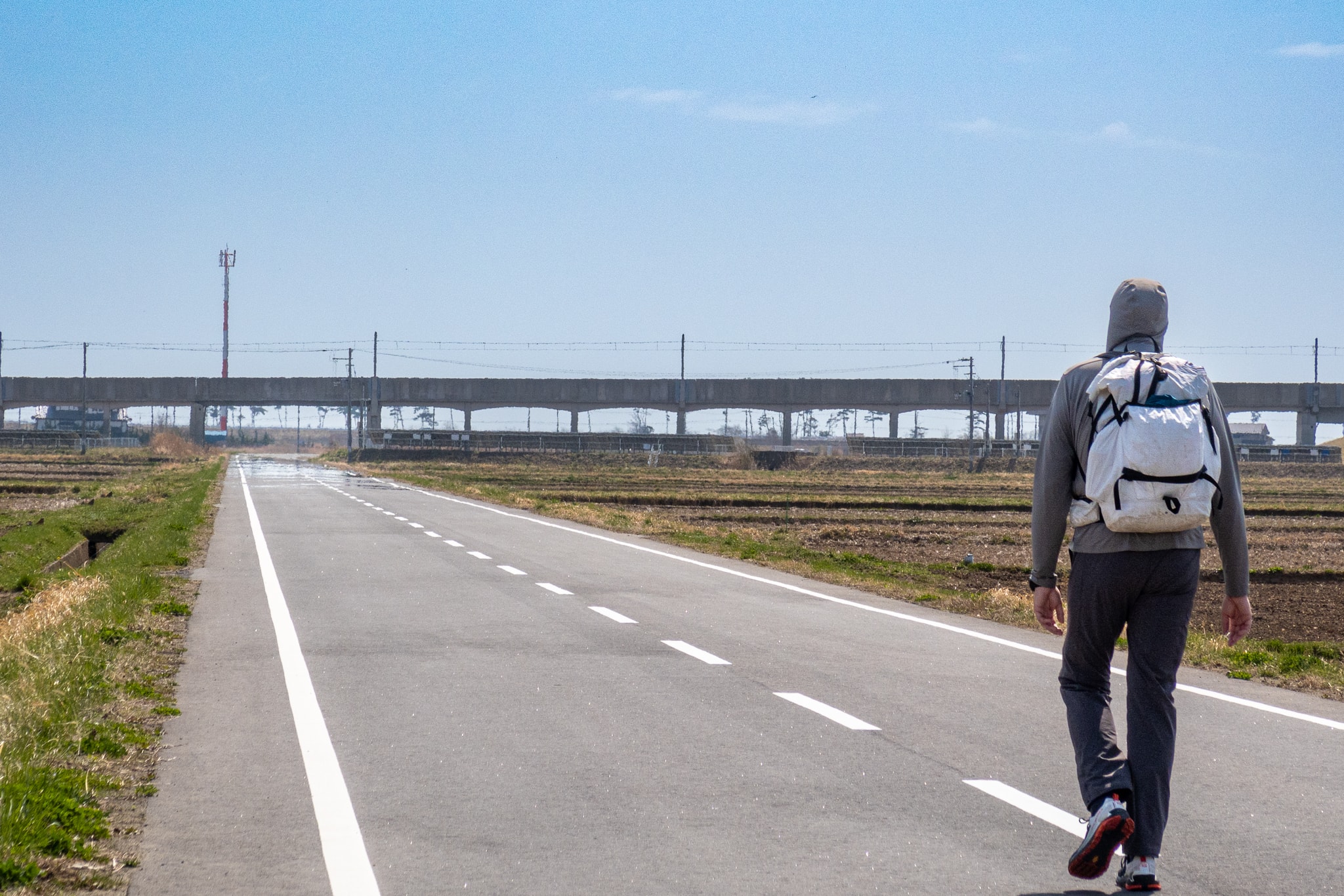
We continued along a newly built, wide road — parts still under construction to widen lanes and raise high seawalls — when small silhouettes in the distance began moving our way.
A family of two parents and three small children, all in casual day-hike outfits. We guessed the supporter boat at the dock was waiting for them.
As we passed, we exchanged greetings. I noticed an older edition of the MCT area map in the father’s hand. He said they were locals from Ishinomaki City and were out for a weekend family day-hike on the Urato Islands route. They’d gotten off an early train at a nearby station and were walking to the Miyato dock — our guess was right.
“You can walk along the seawalls over there,” the father said, probably catching my expression about another all-day concrete walk. “It’s cooler with the sea breeze, and the views are nice.”
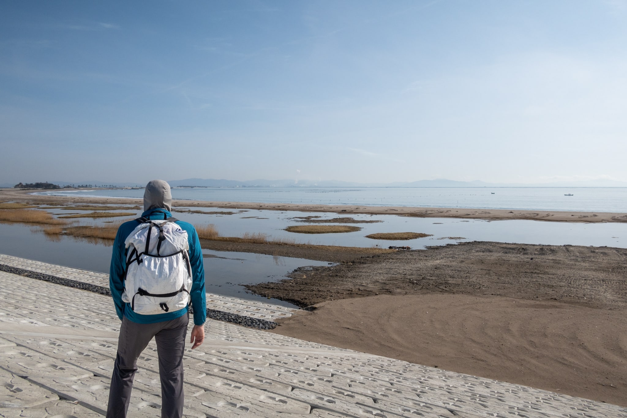
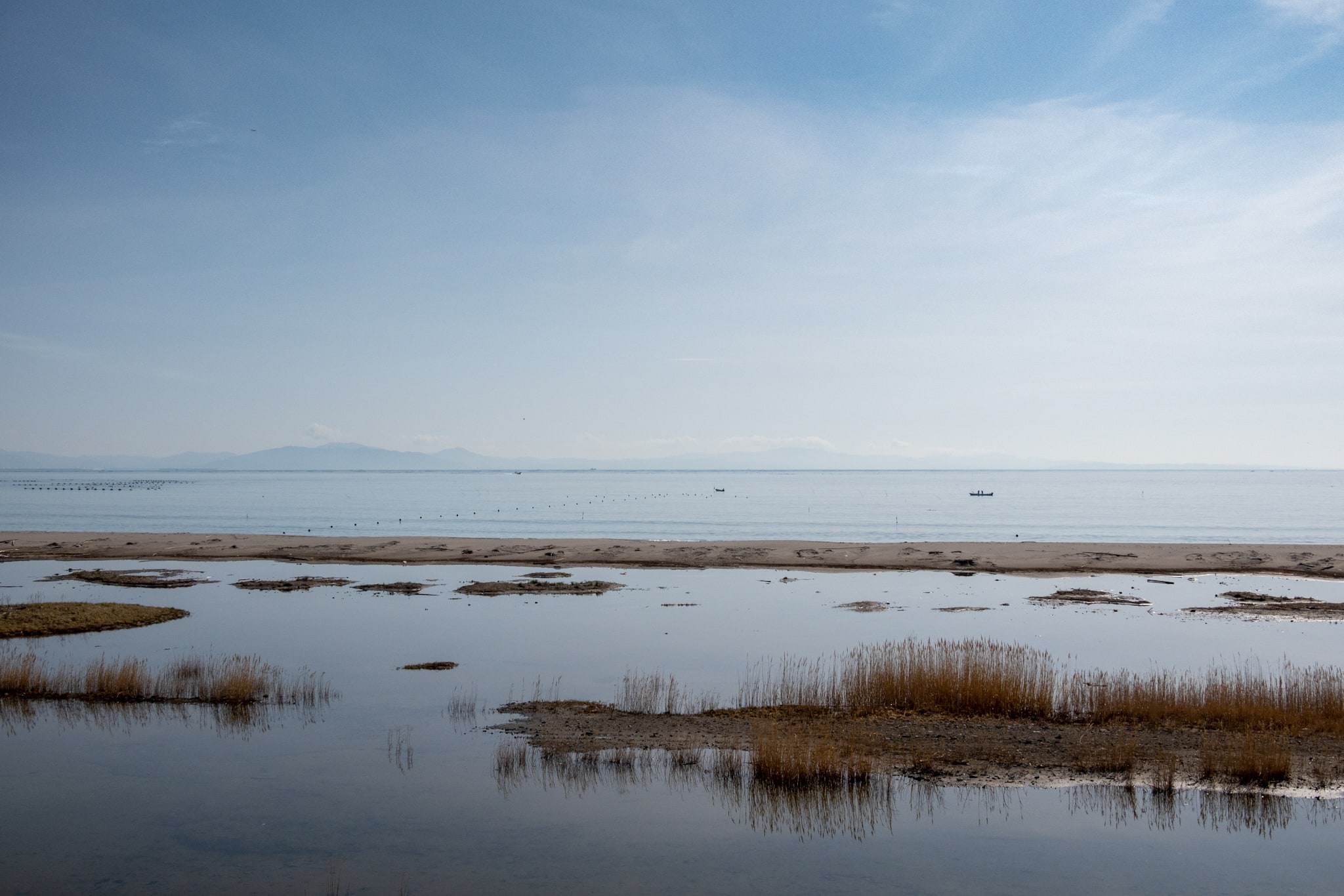
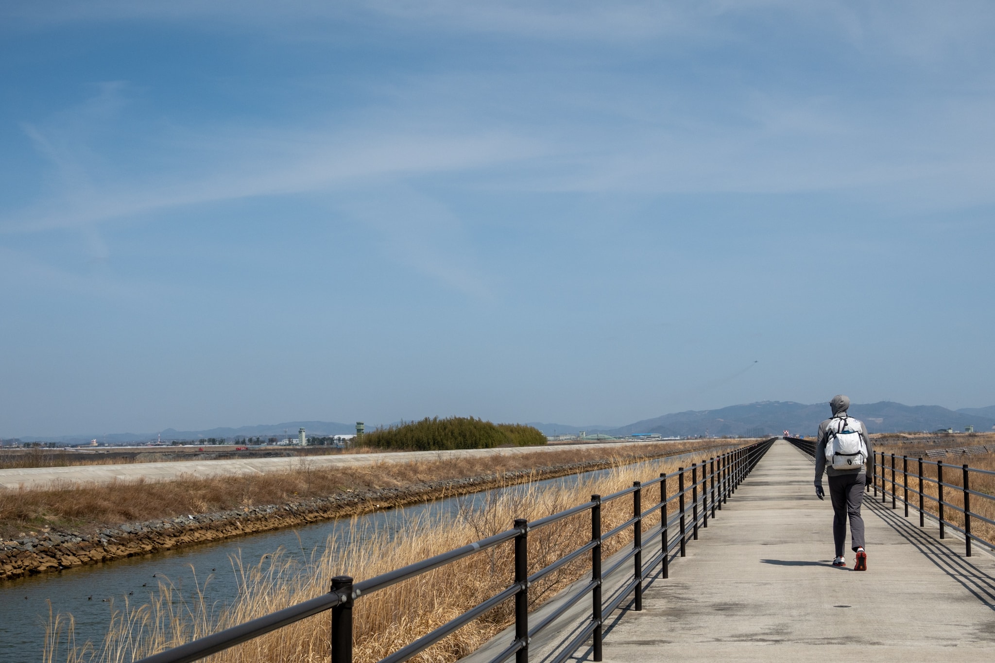
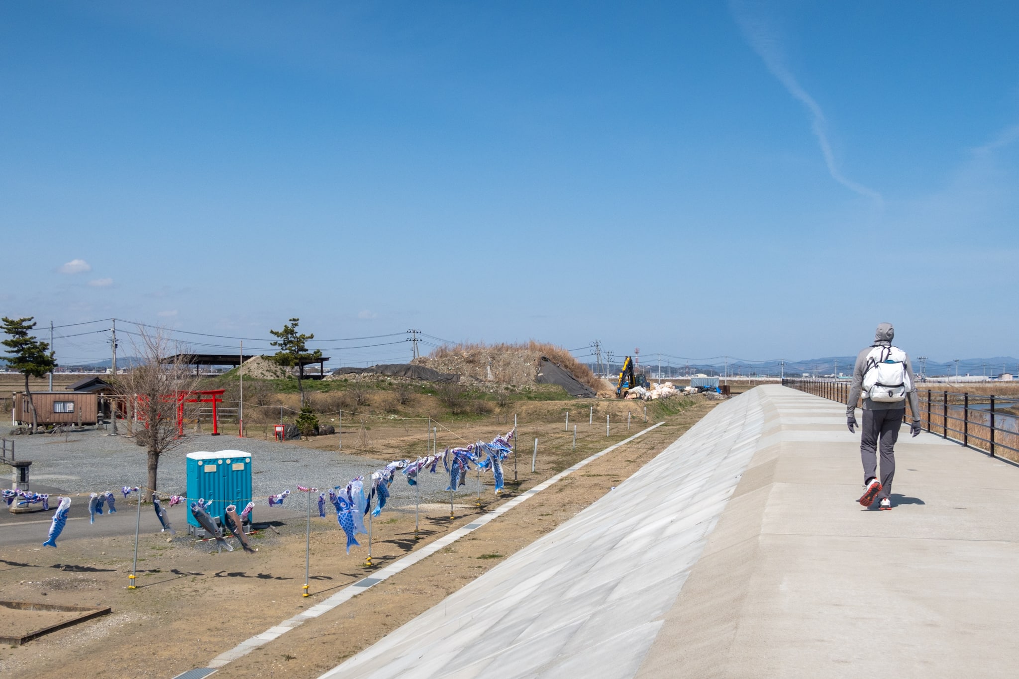
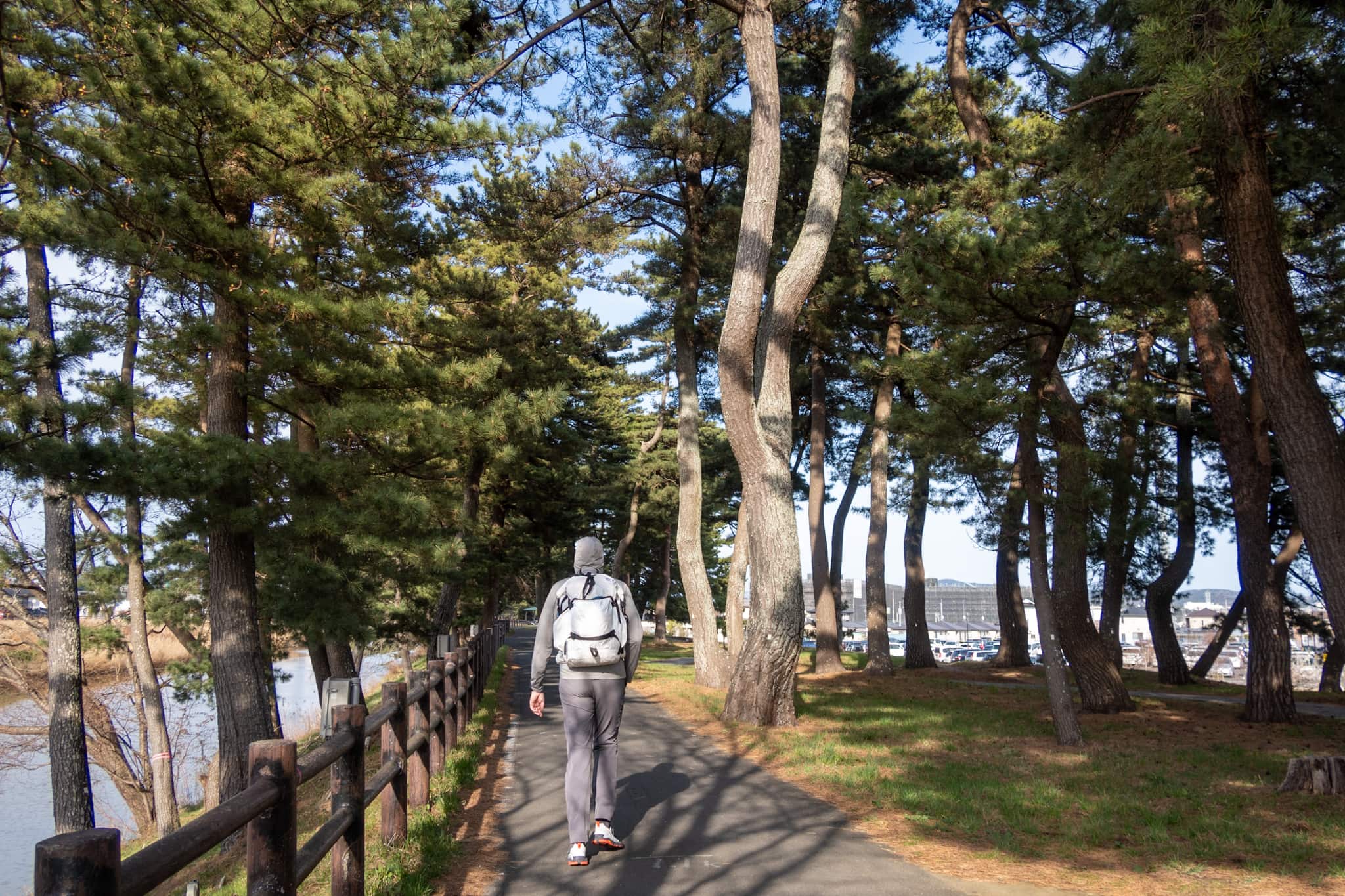
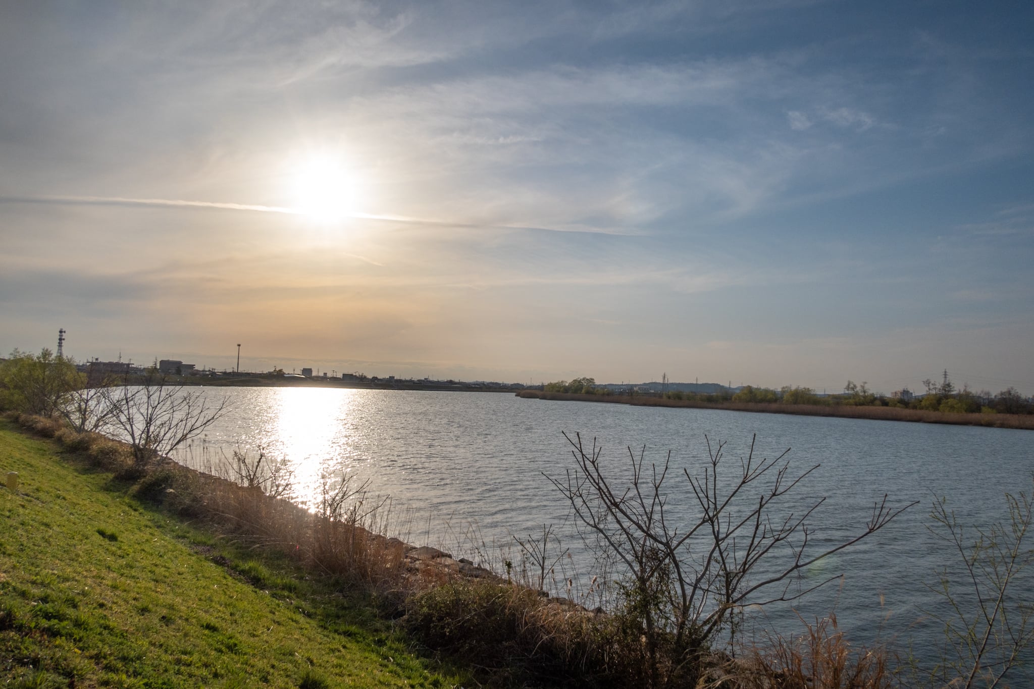
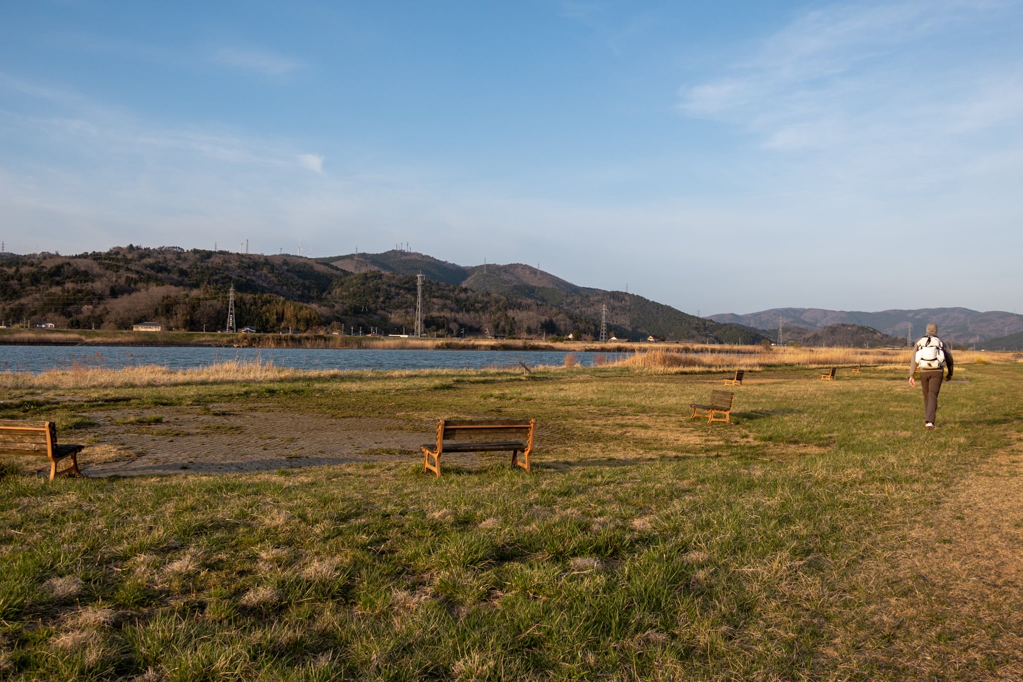
Soon we reached the new seawalls behind a long stretch of sandy beach.
We took his advice. As soon as we stepped up onto the wall, a cool breeze hit our clammy faces. Today the sun wasn’t as harsh as three days ago; the morning was a little cloudy and cooler. Hopefully that would help me push through a longer distance on the shadeless flats.
The walkway atop the seawalls was nearly spotless—apparently few people had used it yet—but broken shells and dried small crabs were scattered here and there. Gulls must use the wall as an anvil, dropping shellfish to crack them open.
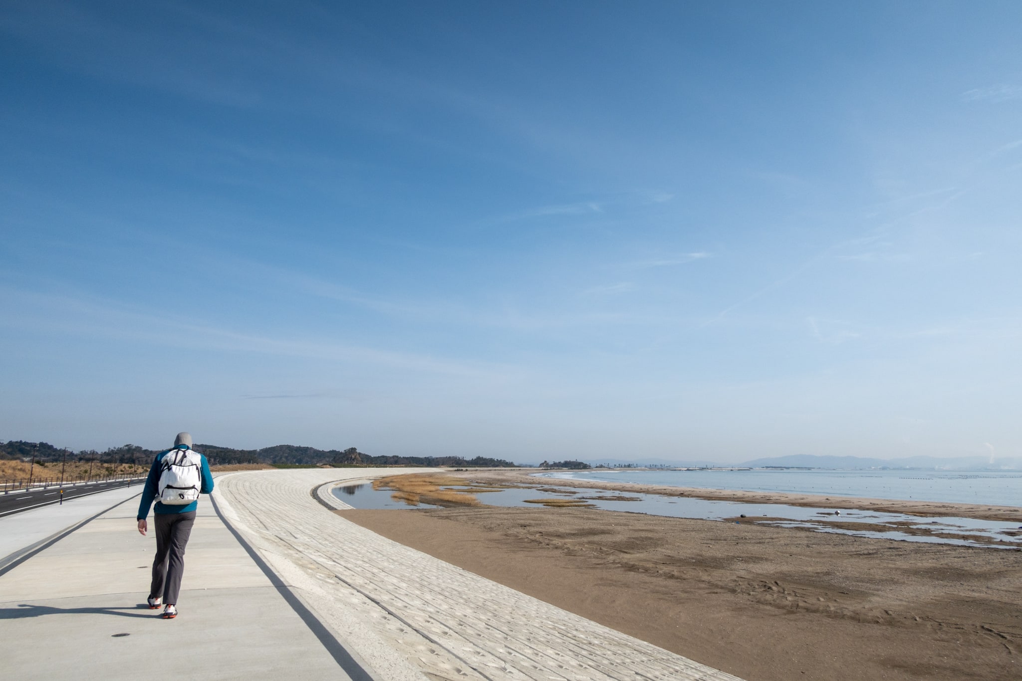
According to the map, a bridge links Miyato Island to the Tohoku mainland just before these seawalls. It was so small we crossed without noticing.
Nobiru Station Ruins and the Long Straight
Near the end of the seawalls, the MCT route turned left and left the sand beach, so we stepped down from the wall to follow it.
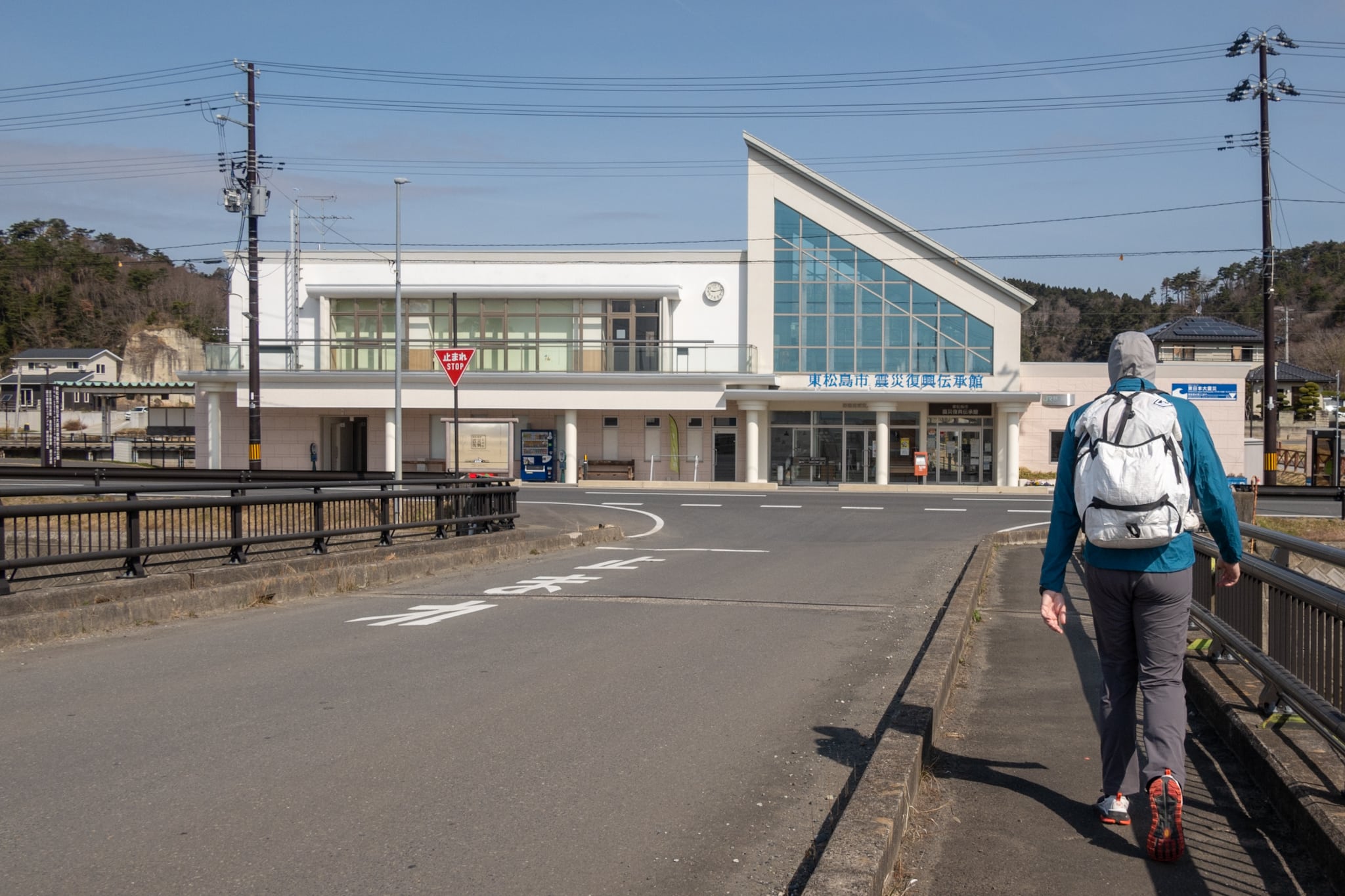
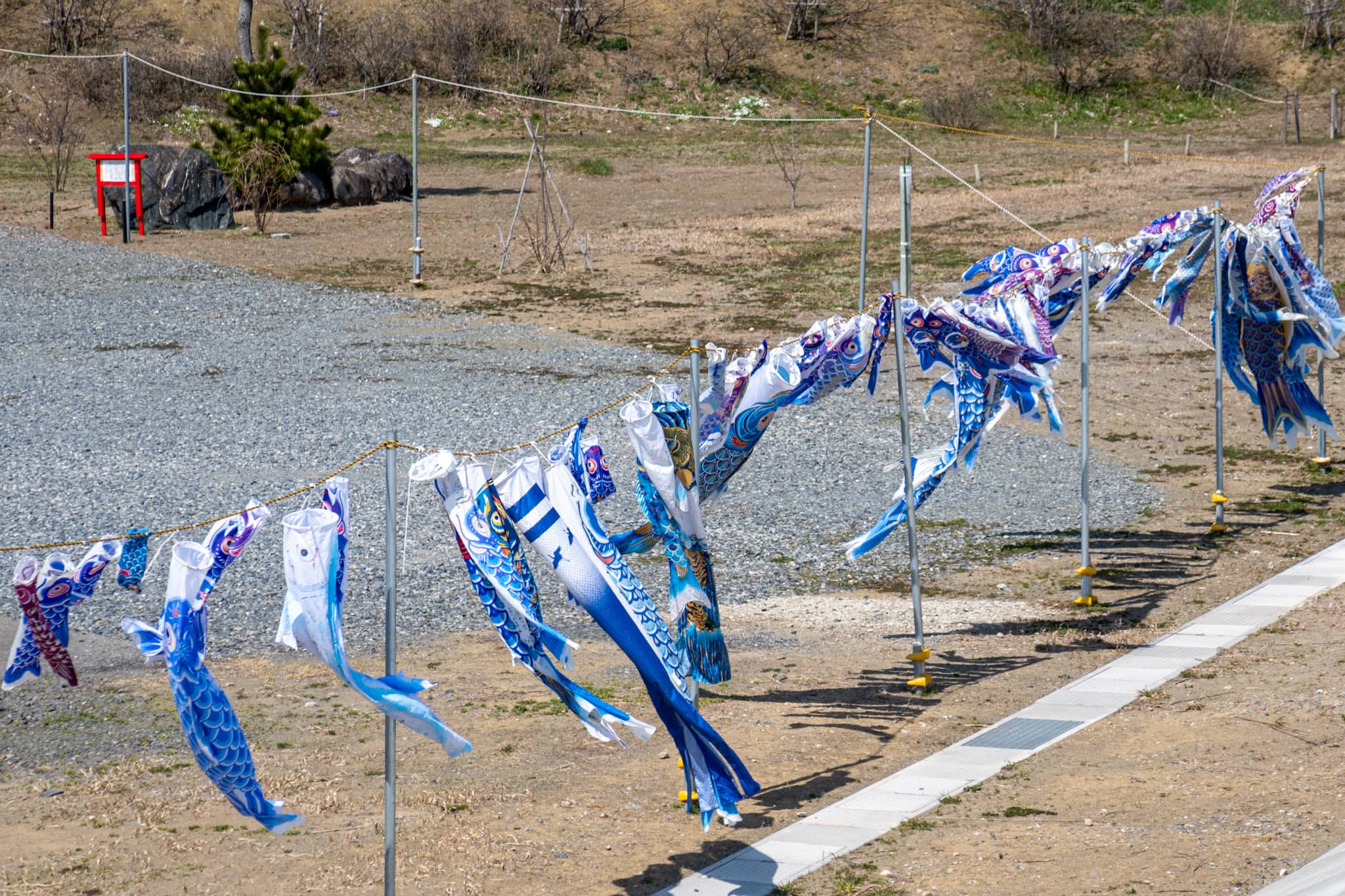
For bathrooms and vending machines, we dropped by another tsunami memorial site — Higashi-Matsushima Great East Japan Earthquake Reconstruction Memorial Park 東松島市東日本大震災復興記念公園. This was the original location of Nobiru Station 野蒜駅; the remains of the destroyed platform and rail tracks are still there.
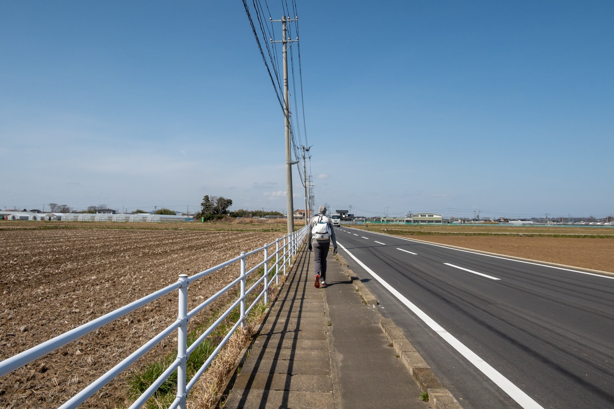
Afterward we walked through another quiet village and empty rice paddies for a while. We saw few people — probably still early in the farming season — and only the occasional car passed on the very quiet road.
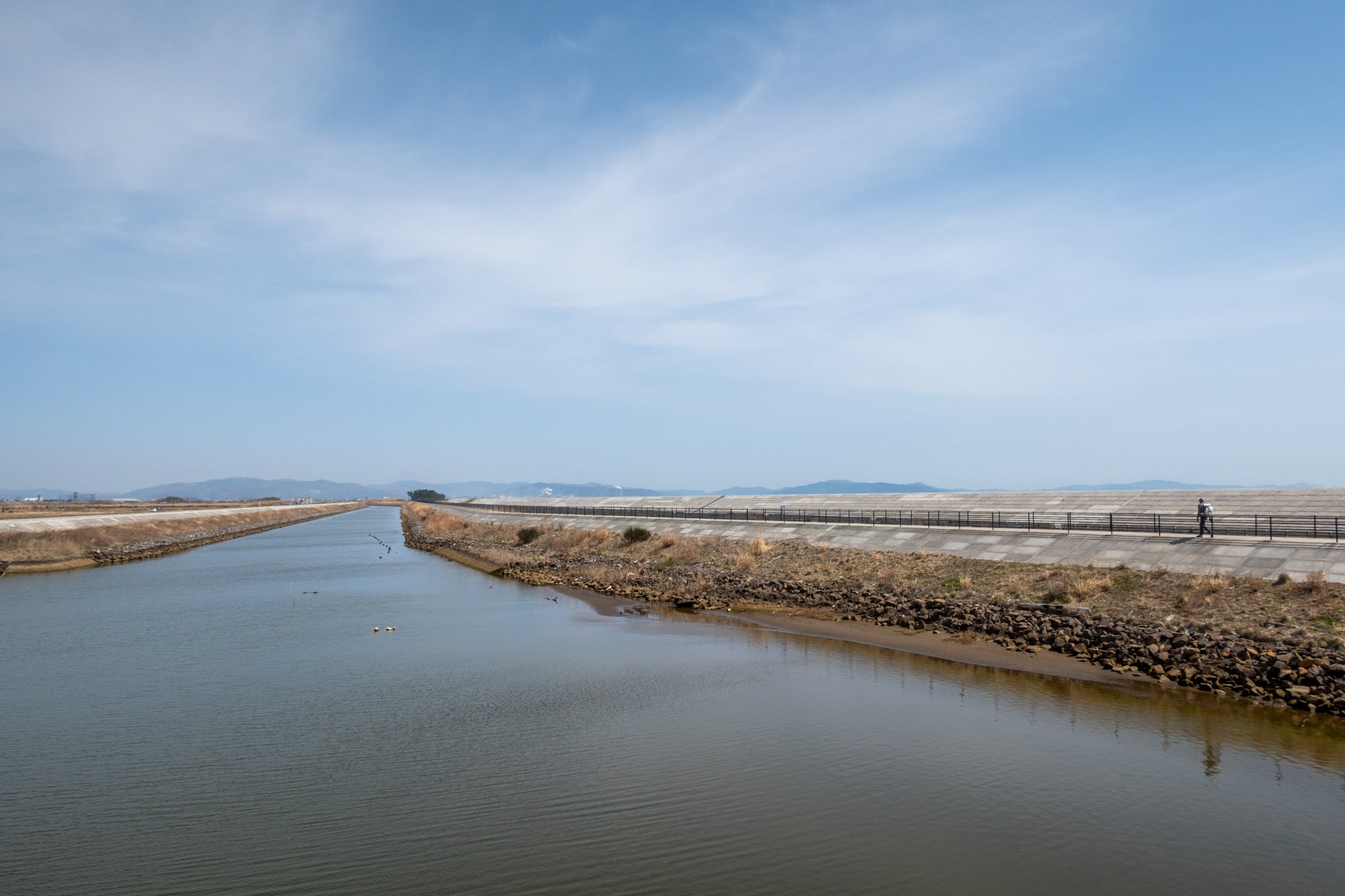
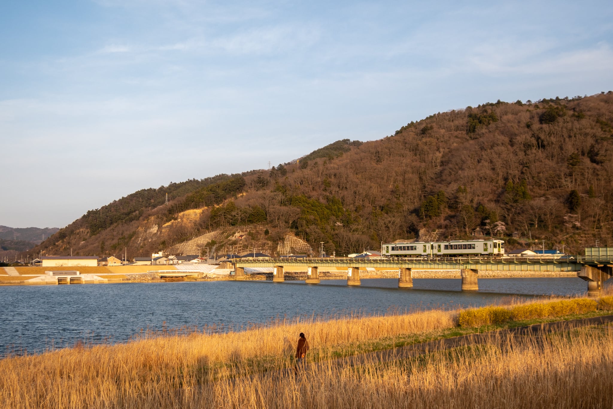
After crossing a large bridge over the Naruse River 鳴瀬川, the MCT left the main road again and headed toward the river mouth. Like it or not, we had to go about 3 km inland to cross the bridge and then another 3 km back down to reach the shoreline again.
The MCT follows the Pacific coastline of Tohoku; we could already tell there would be many more unavoidable detours like this to cross each river.
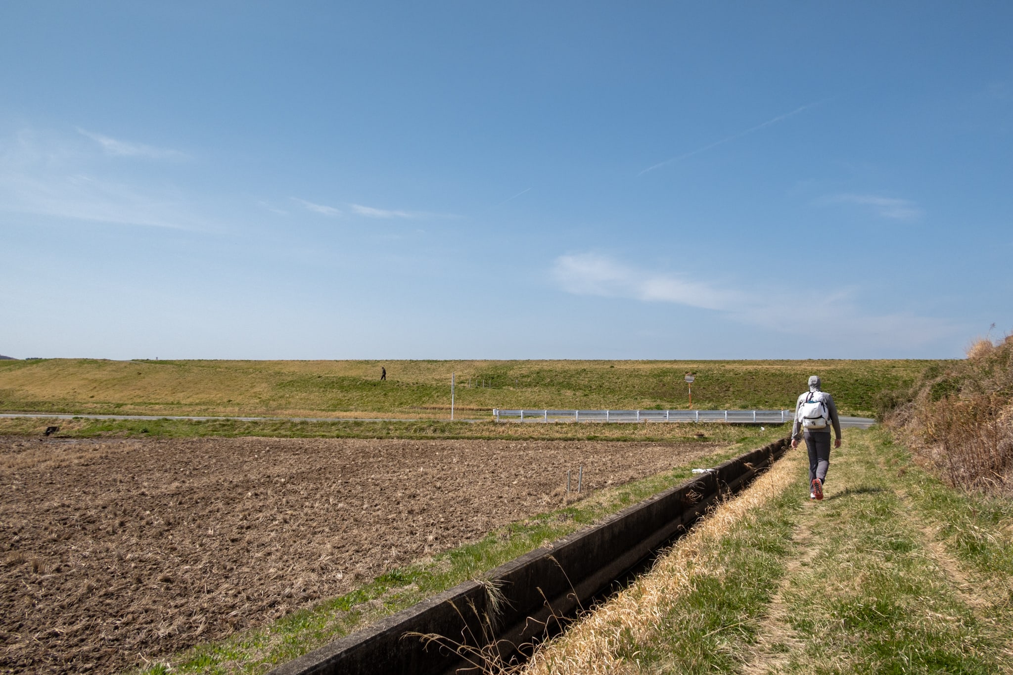
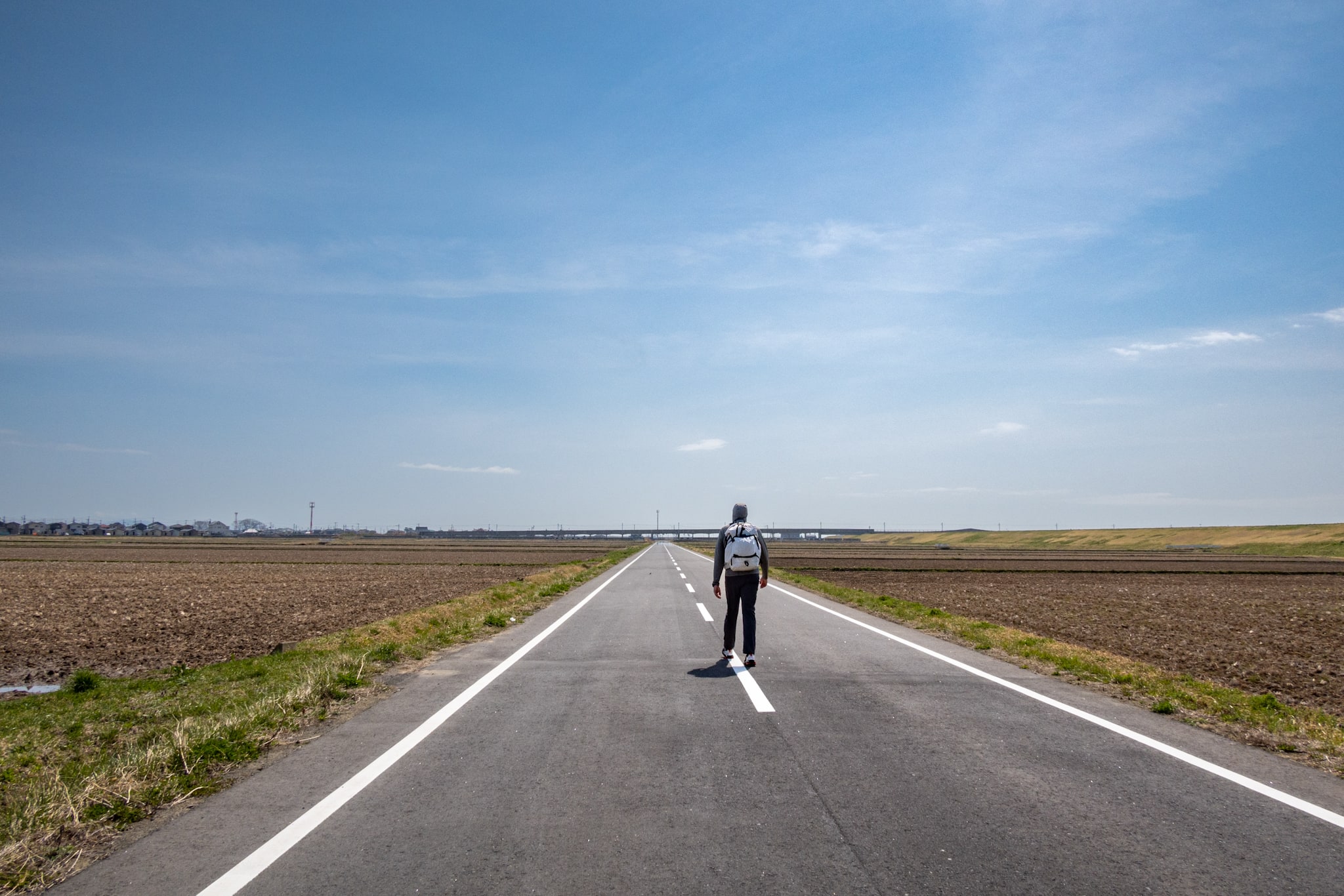
Now we were on a dead-straight, seemingly endless road cutting through vast empty rice fields. We could even see the horizon ahead.
In the distance, heat-shimmer made the asphalt look like rippling puddles.
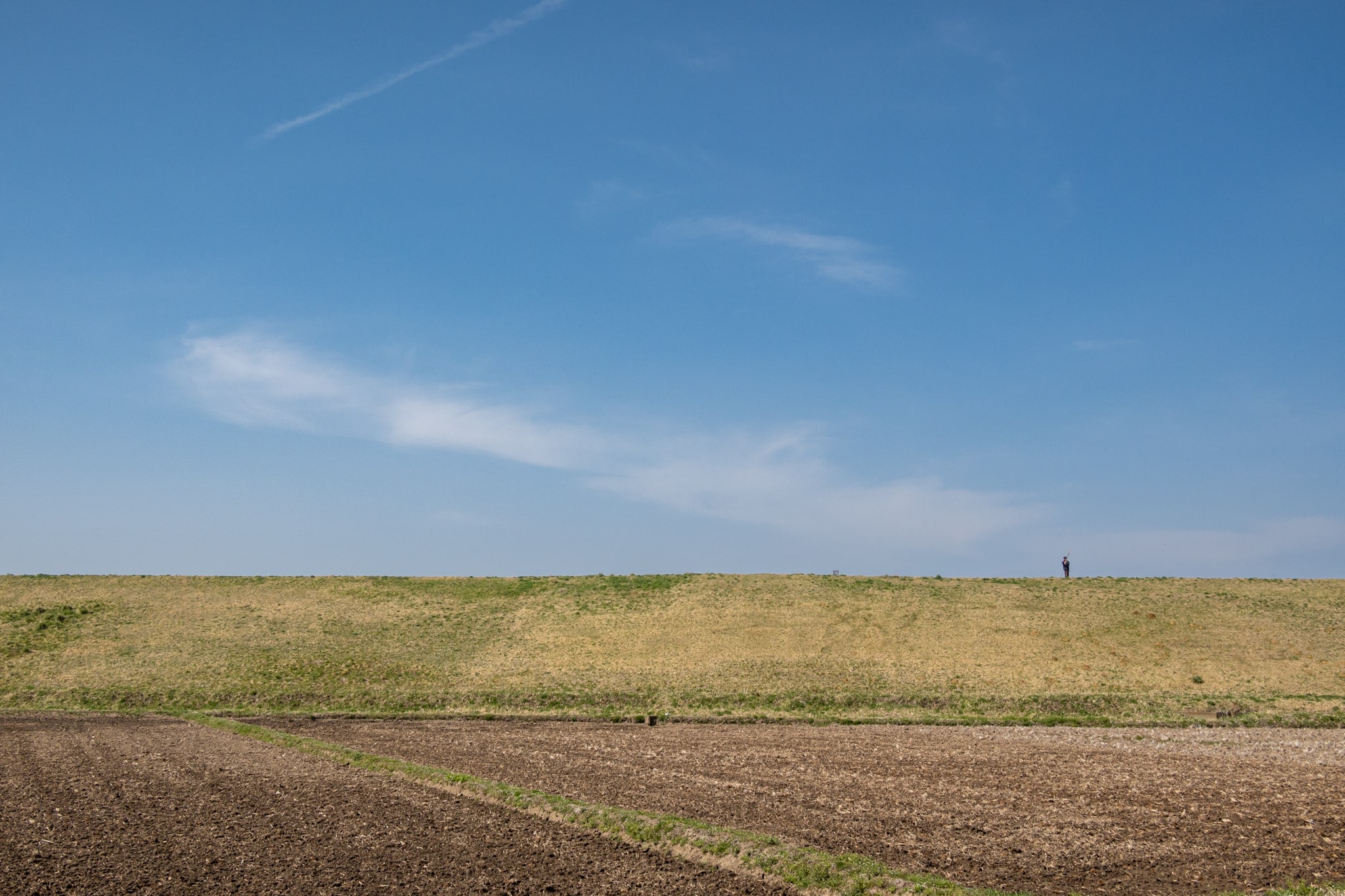
On the river dike, in this almost human-less landscape, one man stood spinning a long pole — we had no idea why.
None of it boded well for the hours ahead. And I’m afraid to say it, but we were already bored by the monotony of the last couple of hours.
Sigh… we still had more than 20 km to reach the ferry port.
At the same time, I started to worry about food for the next few hours. Since morning we’d passed only a small farmers’ market. I wasn’t hungry then, so I skipped the stand with the local specialty — Baumkuchen.
I probably should have picked up some Baumkuchen as a backup snack…
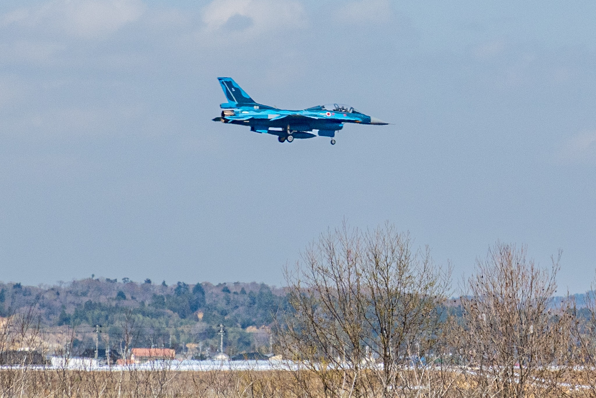
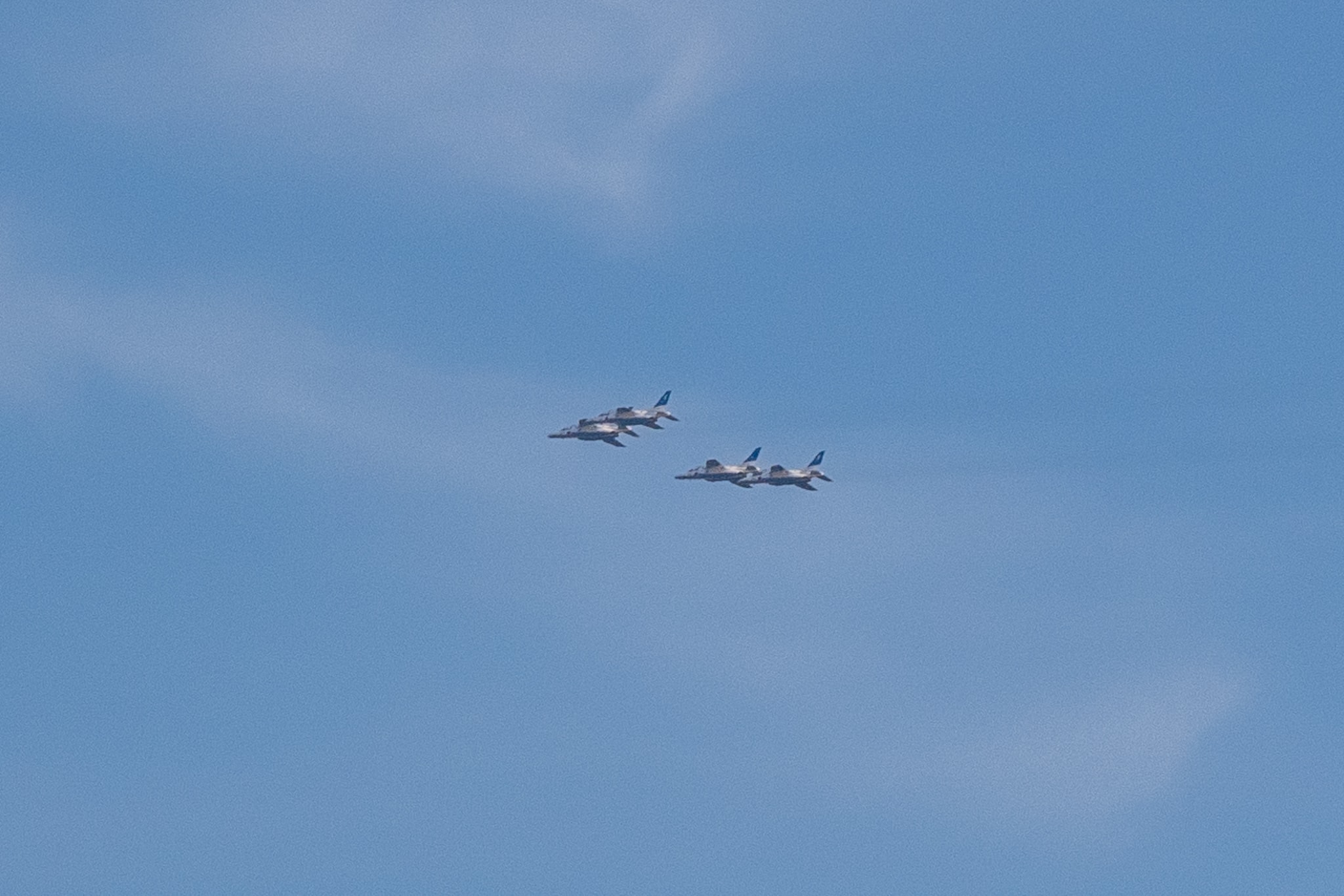
Halfway along that dead-straight road, we were walking in silence, clammy and baking under the sun, when a fighter jet shattered the quiet, rattling our eardrums.
Out of nowhere it rose from behind a residential area beyond the fields, then climbed almost vertically and tore away at high speed, leaving a beautifully curved contrail.
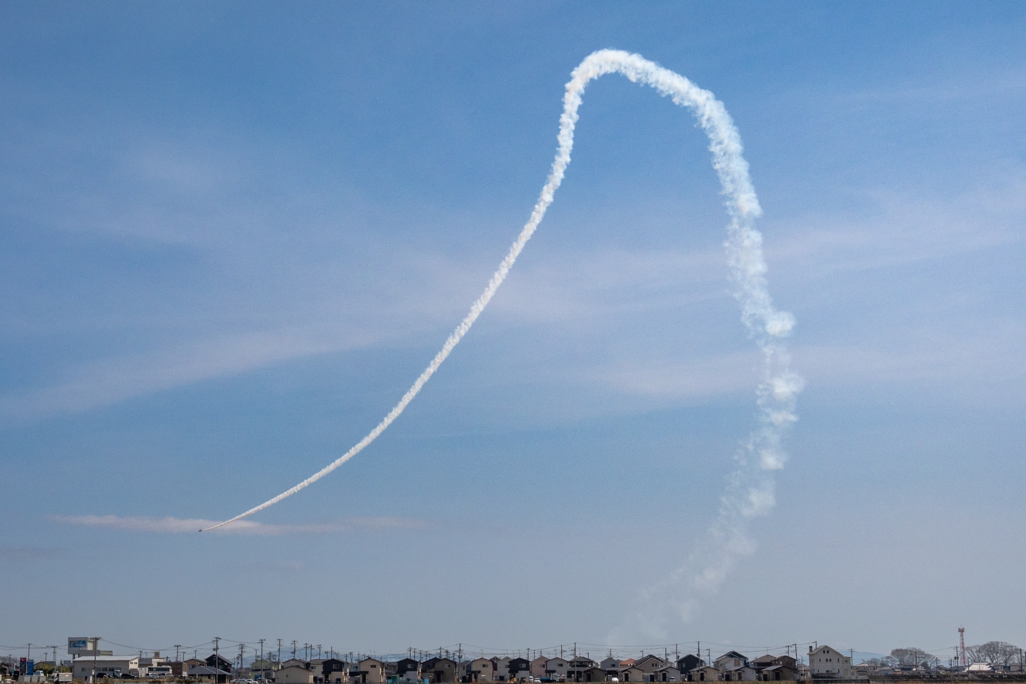
We’ve never seen fighter jets around our home in Tokushima, Shikoku, so it was novel for us. But it can’t be fun to hear that roar every day if you live under it. Those houses must have thick soundproof windows.
Kitakami Canal Bicycle Path & an Unofficial ‘Air Show’
Finally, we reached the seawalls.
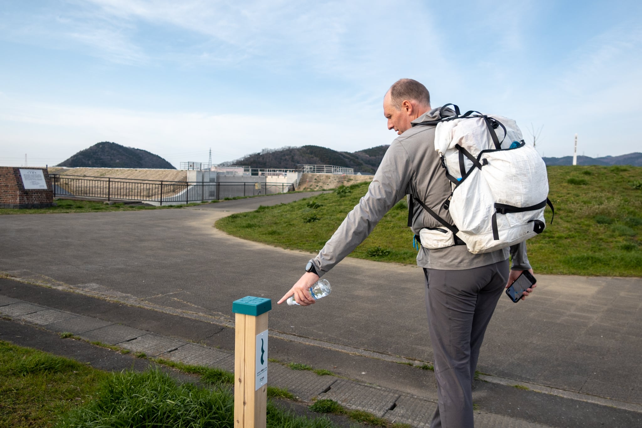
Here the Kitakami Canal Bicycle Path 北上運河自転車道 began to run along the coast.
Unlike the path three days ago, this bike road had distance markers on the fence, showing how far each end was. The first marker read 8 km—our fate for the next dead-straight, concrete stretch, with no shelter from the sun.
My legs suddenly felt heavier, but I made the first few steps of those eight kilometers. Then we noticed a warehouse-like building — probably a fish-packing plant — across a vacant lot beside the path.
Years of hiking had made us good at spotting vending-machine clues, and to our relief there were two machines outside a side door.
We stepped off the path for cold drinks. We needed them. More like, WE MUST.
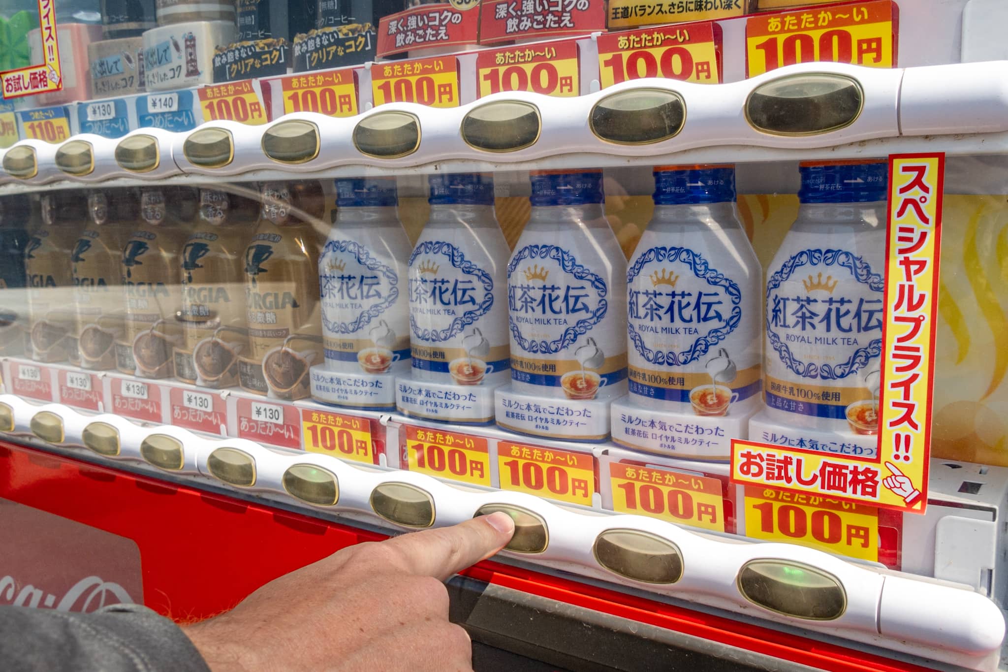
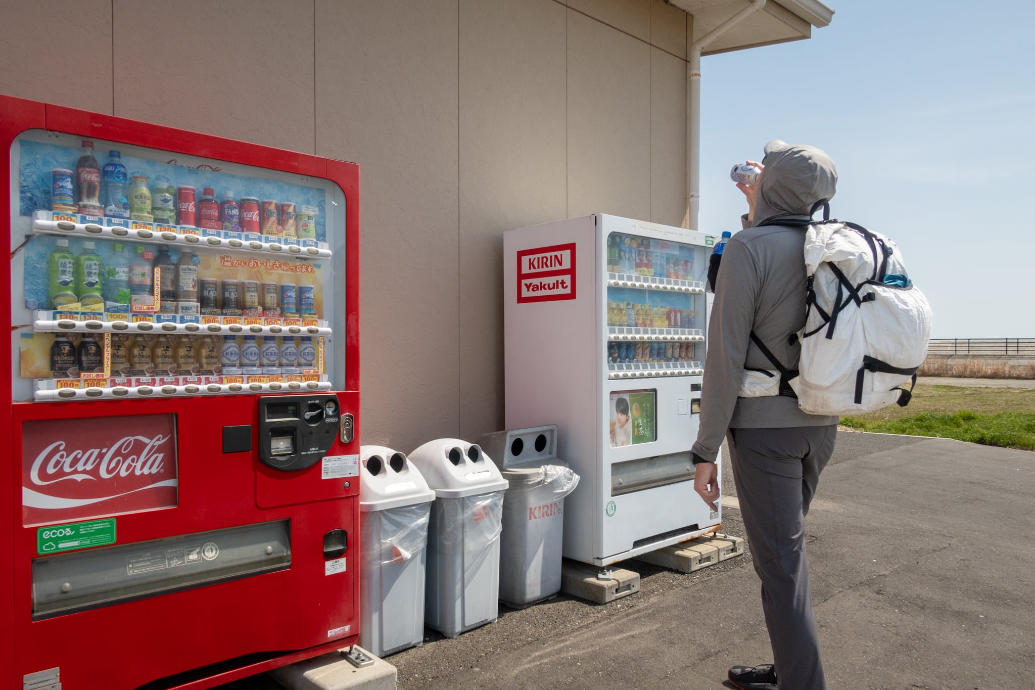
Bonus: one machine stocked Erik’s favorite milk tea, and nearly half the bottom row was his brand.
Good thing we loaded up here; we later learned how far it would be to the next place to buy a drink
The bike road we’d walked three days earlier ran through windbreaks of young pines and offered little to look at. By contrast, this canal-side path gave us more to see.
The gently winding Kitakami Canal ran mostly parallel to us — sometimes on the right, sometimes the left. Where the canal didn’t hug the path, short pine groves or vacant lots filled the gap.
Because the bike road wasn’t tucked directly behind the seawalls, the ocean breeze kept cooling us even as the sun beat down and the concrete radiated heat. It made a real difference.

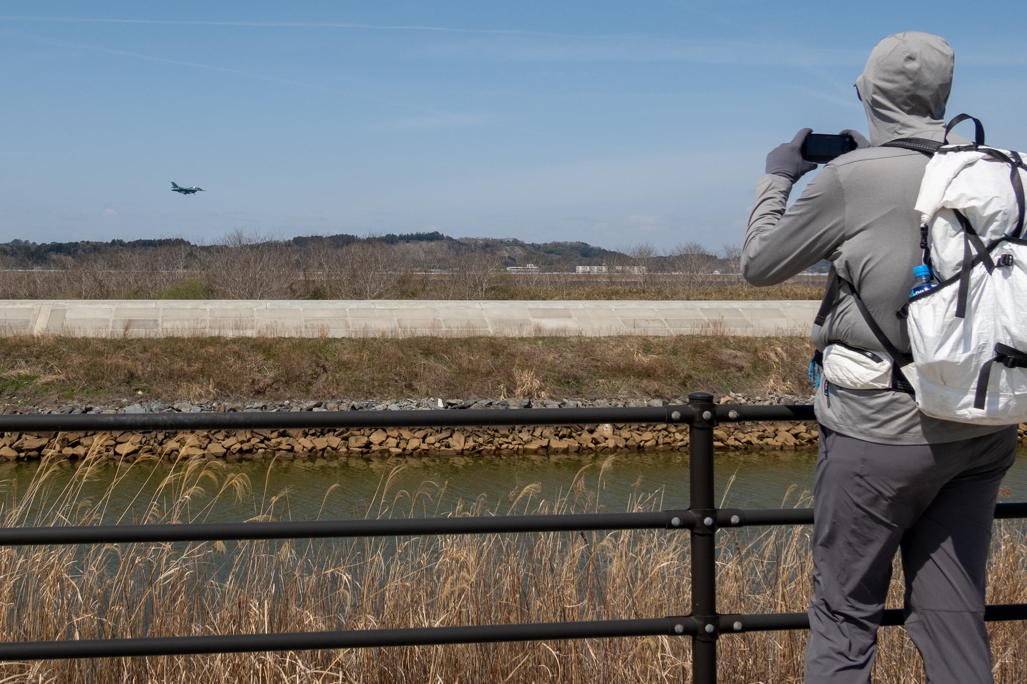
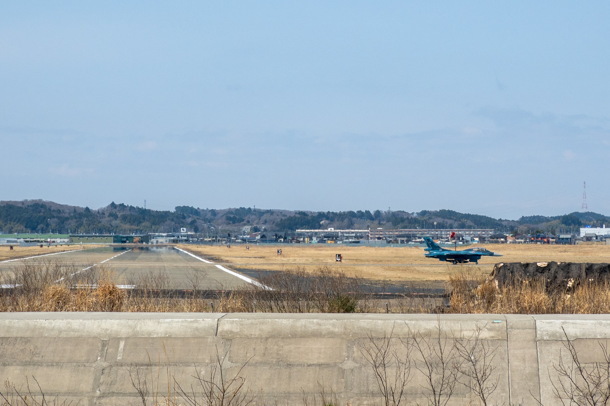
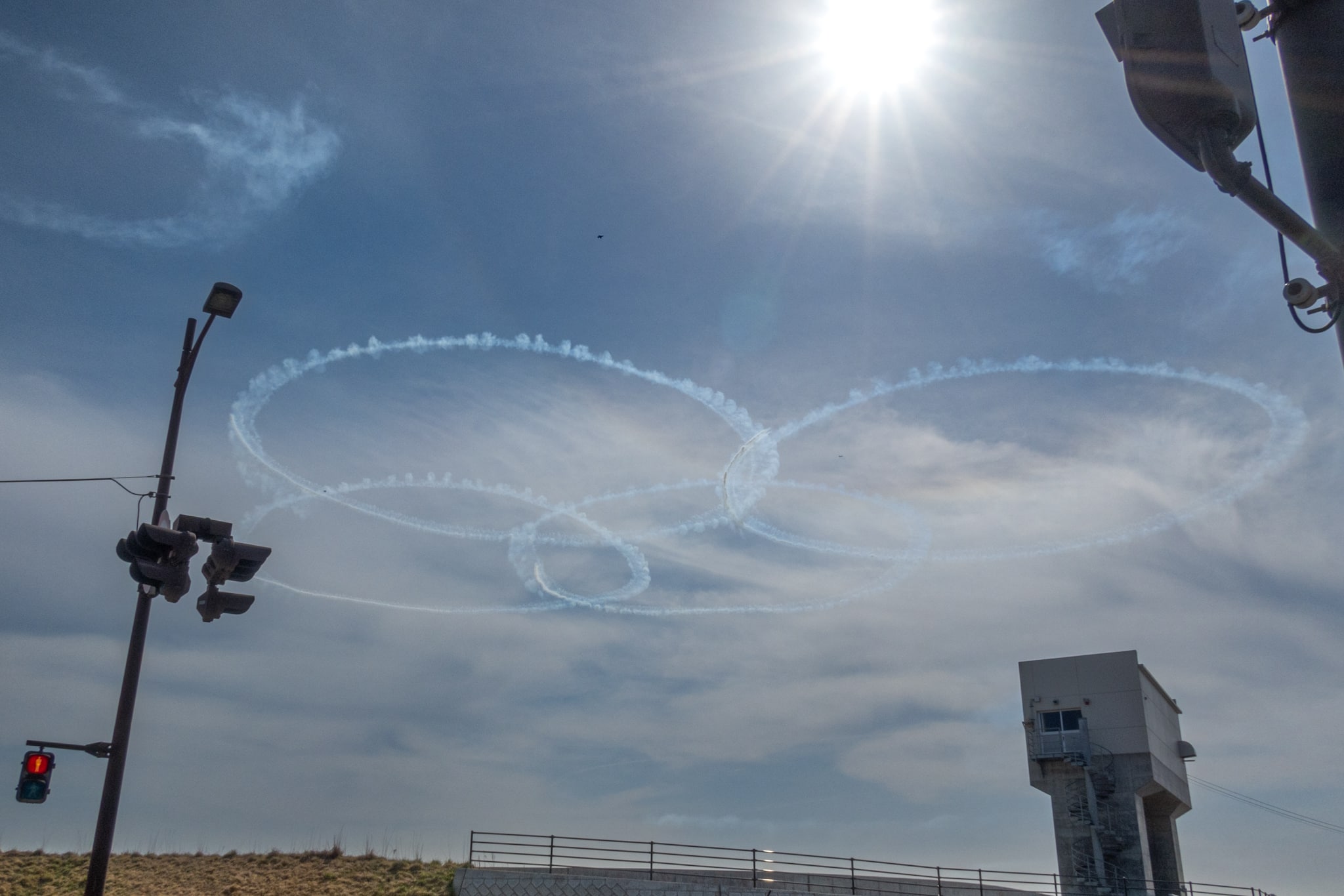
The most striking feature along this stretch was the Japan Air Self-Defense Force (JASDF) base, its runways visible on our left for most of the way. Fighter jets took off again and again, climbing and dropping, disappearing, then circling back to land — often in pairs, once even four in formation.
Helped by the cool sea wind — and entertained by the unscheduled air show — we kept a good pace. Surprisingly, I didn’t feel the usual pain in my back or feet. I actually felt different today; my body seemed steadier from the morning on.
I guess my body was finally coming back into shape — stronger for longer distances after the painful struggles of the first week.
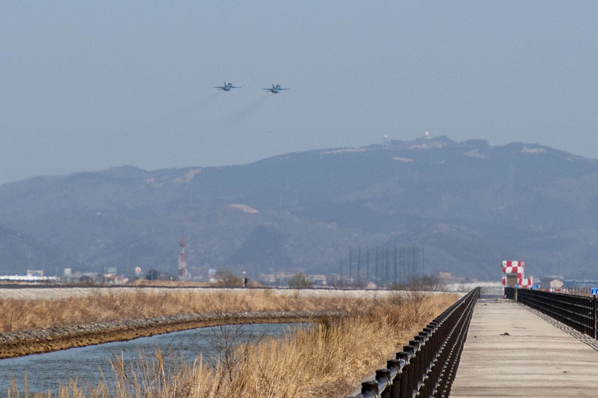
We saw only one cyclist from the far end the whole time. Unlike the path in Sendai, there were no rest areas or roofed benches. Because the route skirts the air-base perimeter, we assumed public hang-out spots weren’t encouraged—no parks, water taps, or bathrooms.
We were grateful for the cooler, cloudier weather on this section. I can’t stress this enough: be well prepared if you walk here on a sunny, hot day.
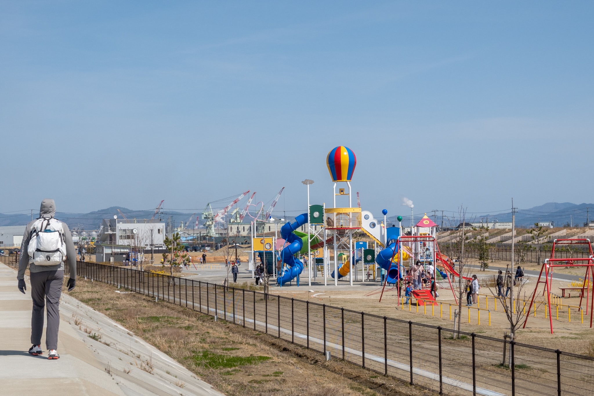
Soon after we finally passed the base — about 1.3 km from the bike path’s north end — the wide strip between the path and the seawalls opened into a large playground. Even on a weekday, a few groups of kids and their mothers were out enjoying the day.
We got excited — not for the swings and slides, but for the chance of bathrooms and vending machines. We did see some at the edge of a big parking area, but a chain-mesh fence separated the park from the path. To reach them we’d have had to loop all the way around to the park entrance.
Next to the playground was a big ground-golf field where many older locals were playing.
When I was younger, the classic seniors’ game was gateball — a Japanese spin on croquet — but after I came back from ten years in the U.S., ground-golf seemed to have taken the crown.
We spotted more bathrooms and vending machines there too—but again, the fences. Forget it. We weren’t out of drinks yet, so we kept walking.
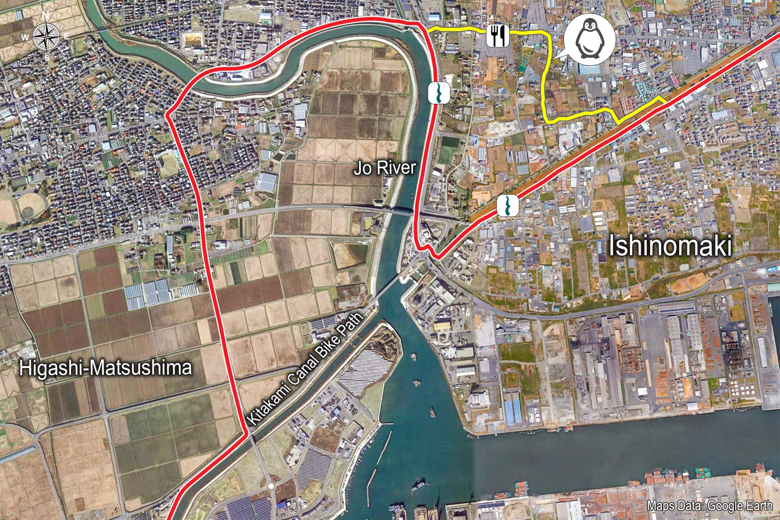
Jo-kawa River Detour: Shortcut Temptation vs. Map Line
Looking back after we finished our MCT thru-hike, many odd turns and detours still didn’t make sense. We were about to meet a perfect example. On the official Map Book, the canal and bike path run straight to a bridge near the mouth of the Jo-kawa River — the boundary between Higashi-Matsushima and Ishinomaki. But the MCT veers off a few hundred meters before the river and heads inland.
The official route crosses the Jo-kawa via another bridge near Rikuzen-Akai Station 陸前赤井駅, then drops to the opposite bank and comes back down the riverside to rejoin the canal-side path exactly across from the river-mouth bridge — WHY!?
Why add roughly 4 km only to return to a point we could have reached by simply crossing the river-mouth bridge and continuing straight?
Still, my obsession with following the “official route” was alive. The MCT is supposed to be 1,000 km; if we skipped detours and took shortcuts all the time, would we actually get there?
So I forced myself not to look at the shortcut and justified the detour as increasing our chances of finding shops and a restaurant for lunch.
We took a long-awaited lunch at a national chain family restaurant shortly after passing Rikuzen-Akai Station. Over dessert, we checked in on how we were doing — mostly my legs and back — to decide whether to keep going.
The love-hotel cluster was just down the street.
If we kept walking, we still had about 15 km to the ferry port.
If we stopped here, we’d have to cover that 15 km very early tomorrow before the ferry, since we’d already booked the next nights and lined up logistics for a trip two days ahead.
So many “ifs.” Erik said I shouldn’t force it; we still had 30–40 days before the northern trailhead in Aomori. At the same time, my body still felt good — surprisingly.
I promised him I would call a taxi the moment I felt real pain or couldn’t continue. With that, we decided to keep walking and aim for the ferry port.
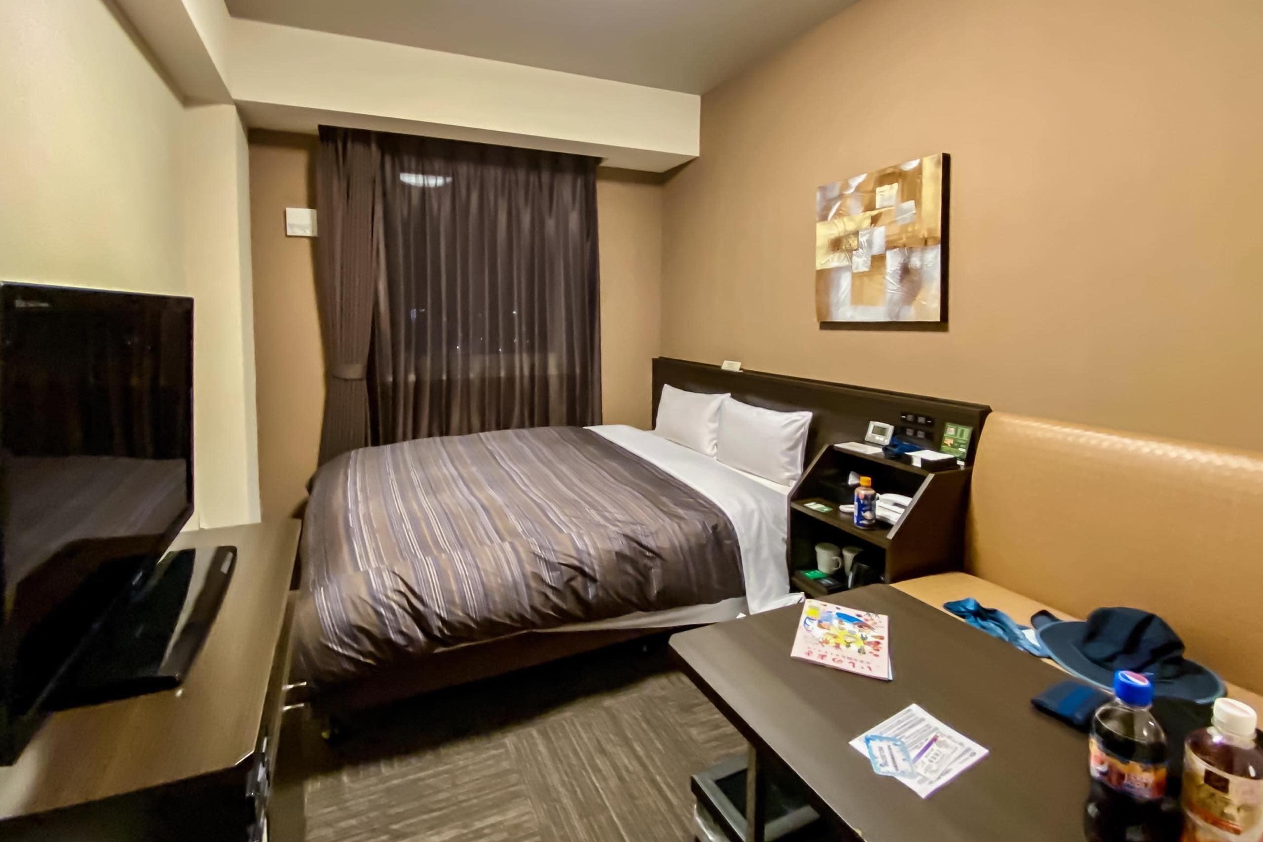
Then I opened my go-to Rakuten Travel app and searched for a business-hotel room in downtown Ishinomaki. There’s nothing right by the ferry port, so we chose a familiar national chain and booked with a few taps on my iPhone.
Our lunch spot sat a bit off the MCT route, and I decided not to backtrack to the exact point we’d left. Instead, we cut through a residential area and dropped straight to the canal-side road — the quickest way to rejoin the route.
Along the Kyu-Kitakami River at Dusk
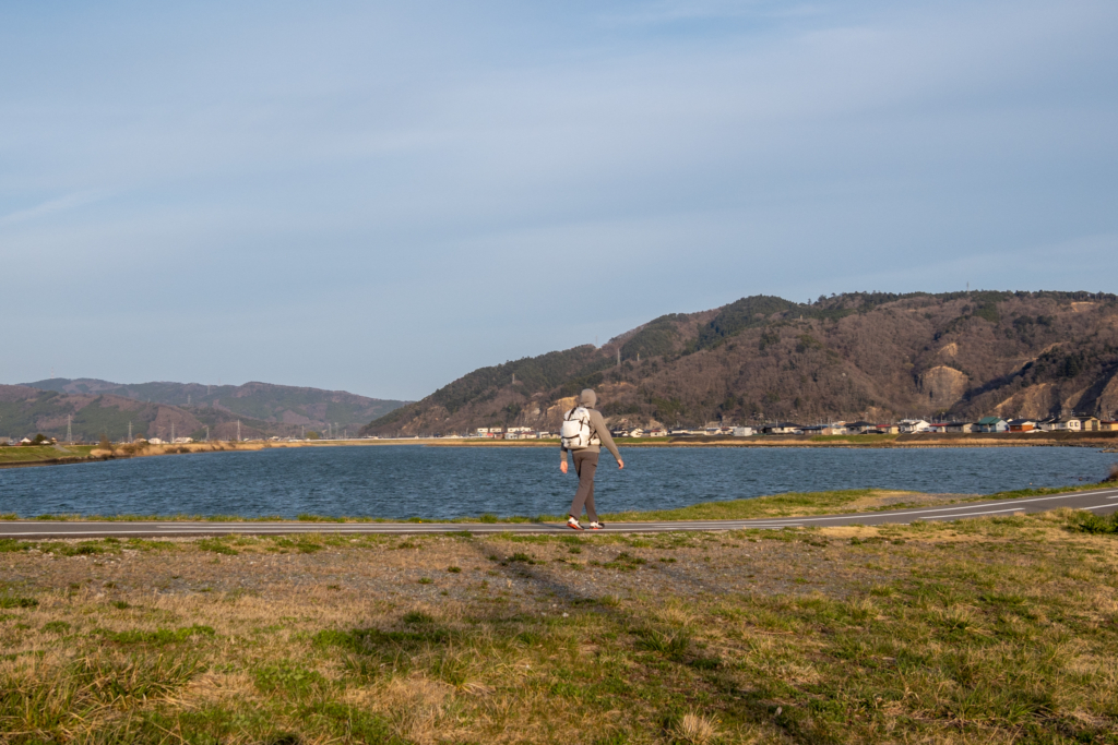
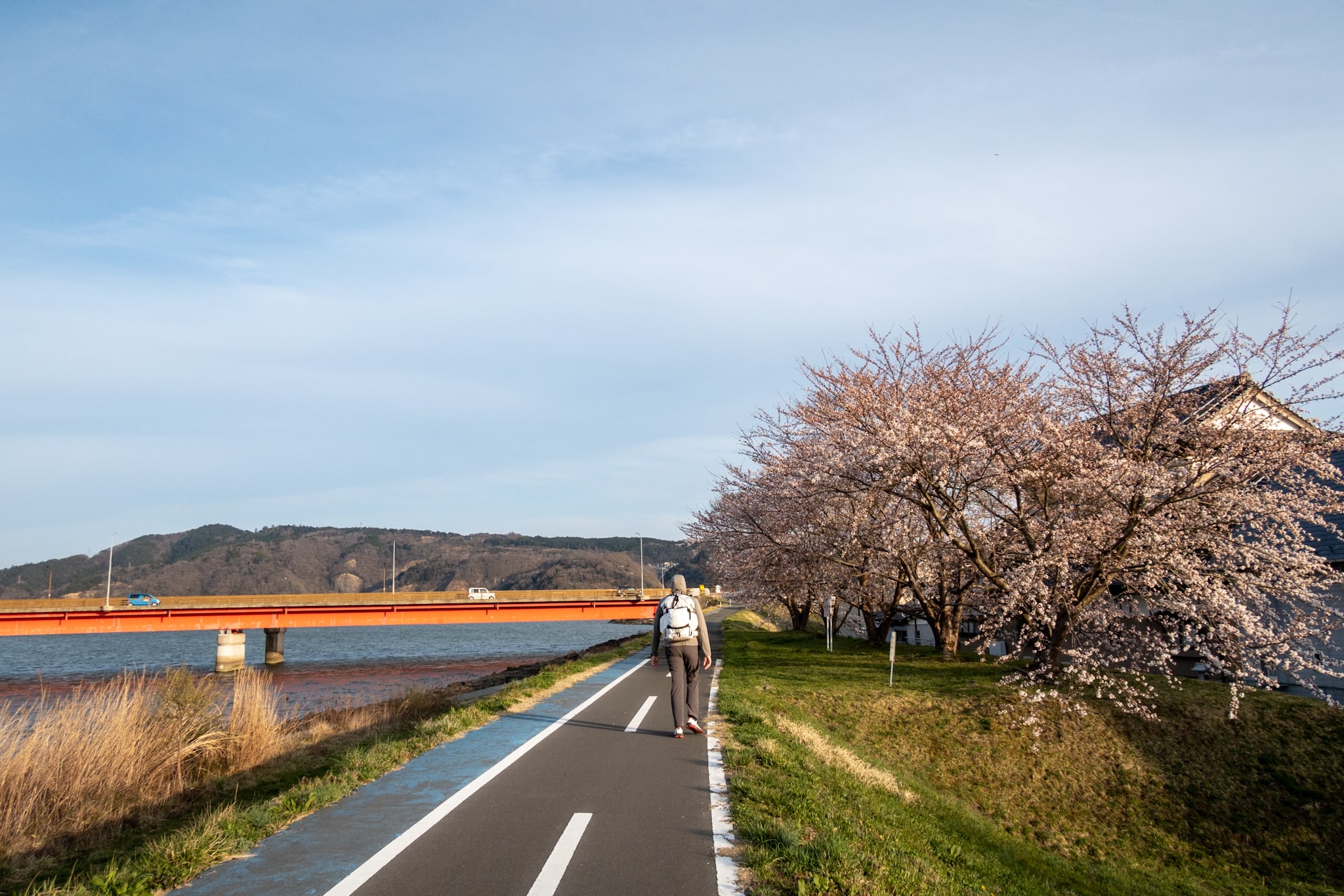
Now the Kitakami Canal cut across busier parts of the city.
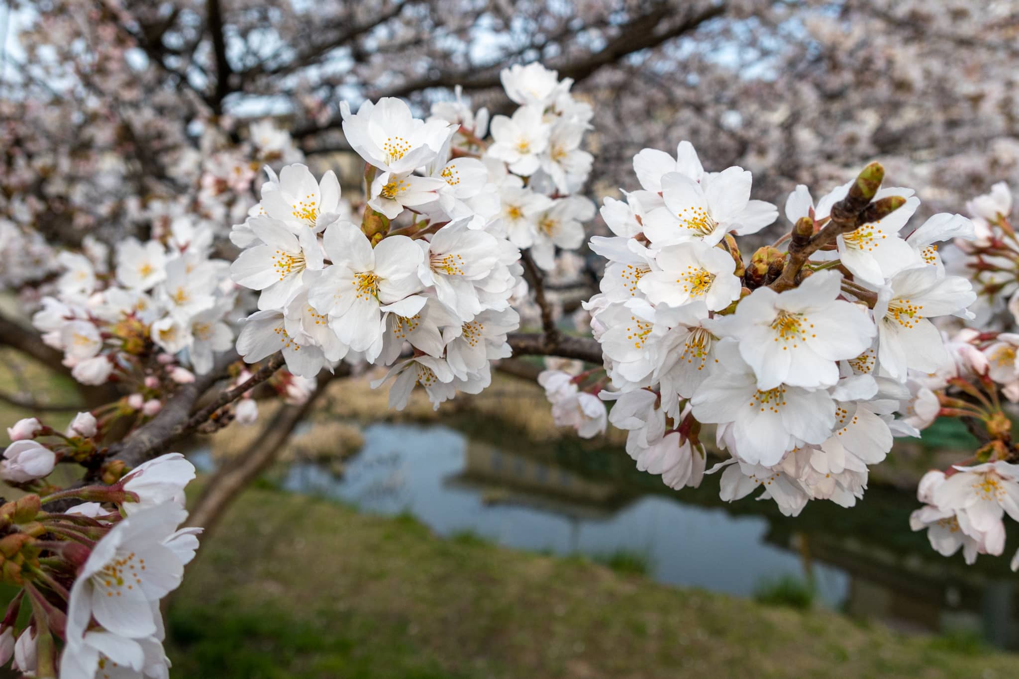
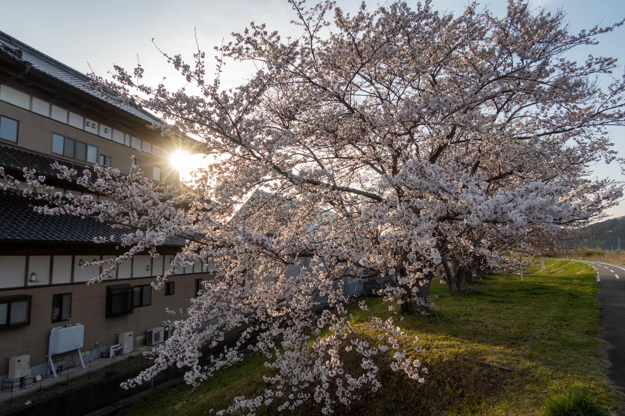
Built more than a century ago for transport, it’s lined with old pines on both banks, and the former dike road has become a pleasant walking path with cherry trees in full bloom.
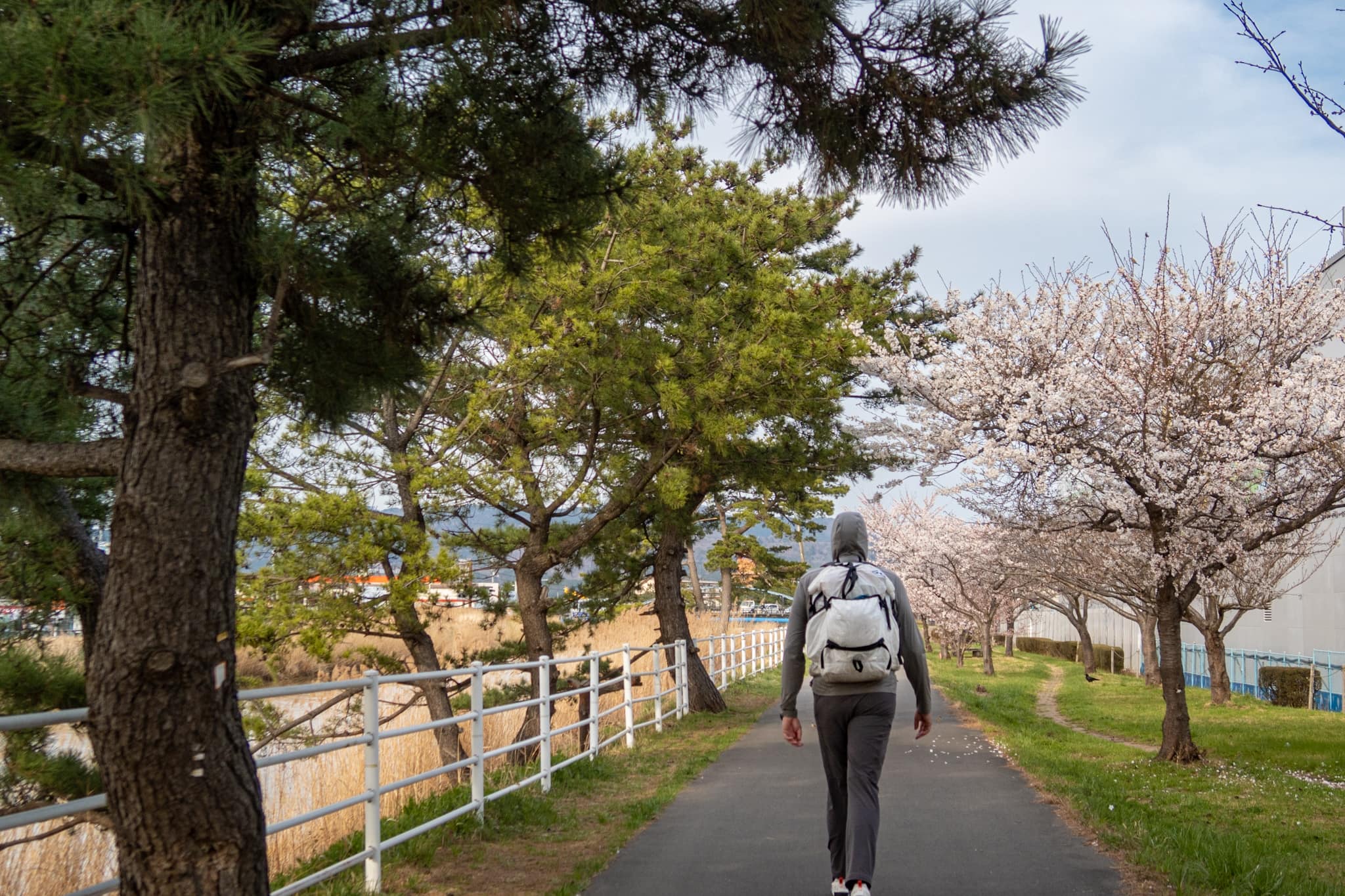
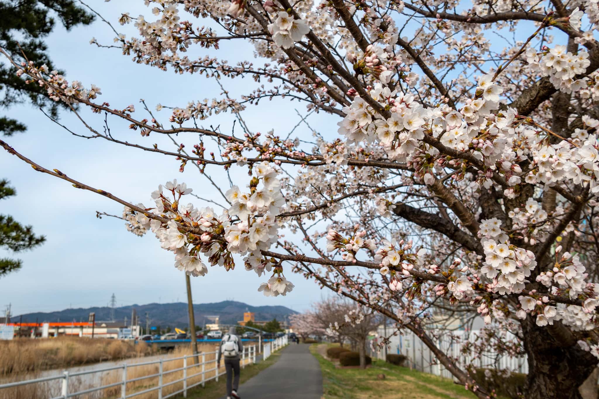
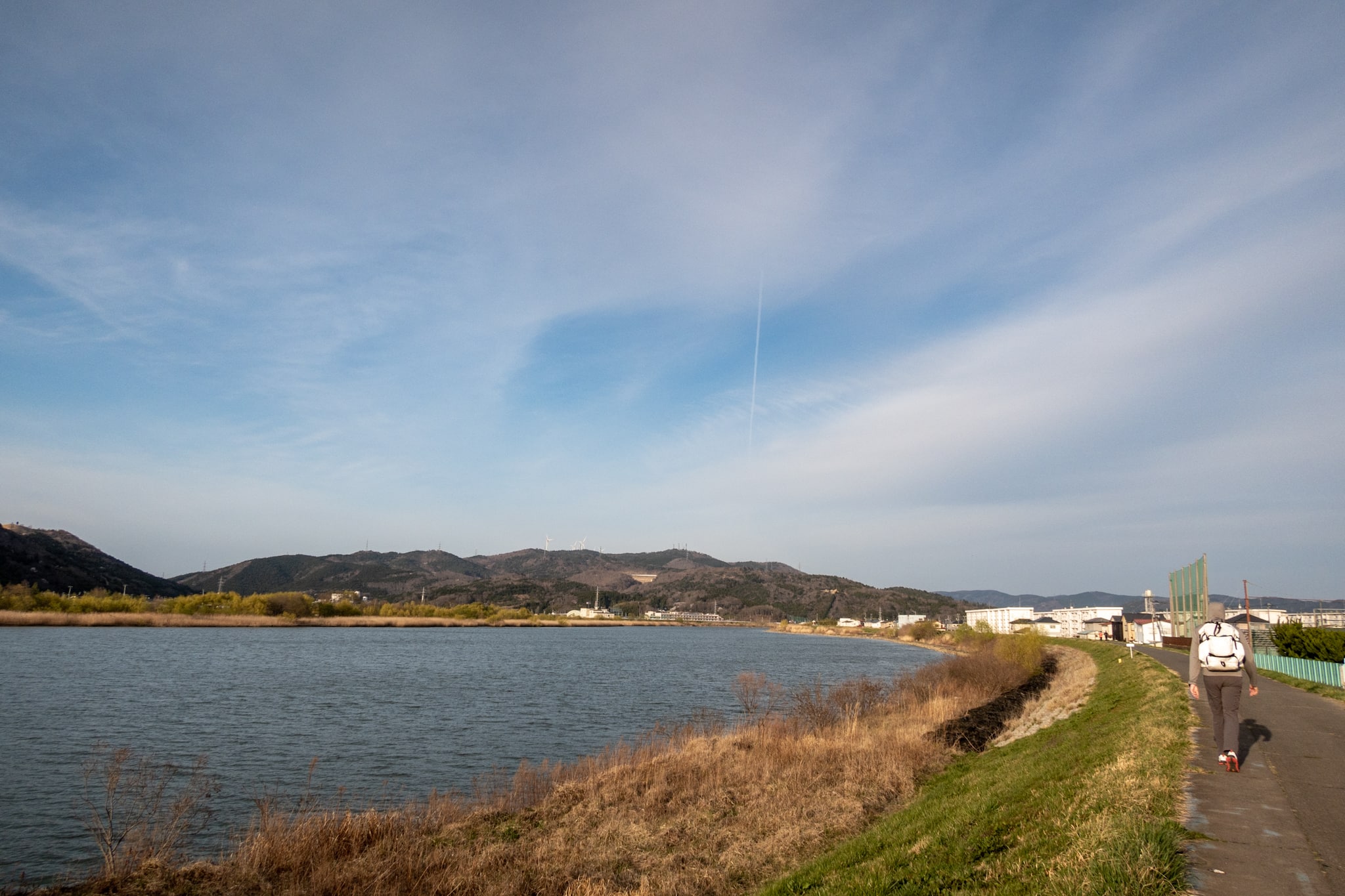
At last the canal met the broad Kyu-Kitakami River 旧北上, which connects to the Naruse River 鳴瀬川 we’d crossed that morning.
The final 5 km of the MCT ran along the Kyu-Kitakami’s west bank.
As the sun began to set, locals used the same bank road to head home, walk dogs, and get their daily exercise.
My feet started to hurt, but the soreness was mild enough to manage. By then I felt confident we could reach the ferry before dark.
As we walked this last stretch, we talked about why today’s long distance on pavement felt more manageable than earlier days.
One major factor was the variety along the bike path: sandy beaches, the canal itself, the air-base runways, and the unscheduled “air show.” The seawalls sat farther from us, which meant steady sea wind.
That change in scenery had a clear effect on my motivation—it kept me moving—far better than yesterday’s view of windbreak pines and tall concrete walls.
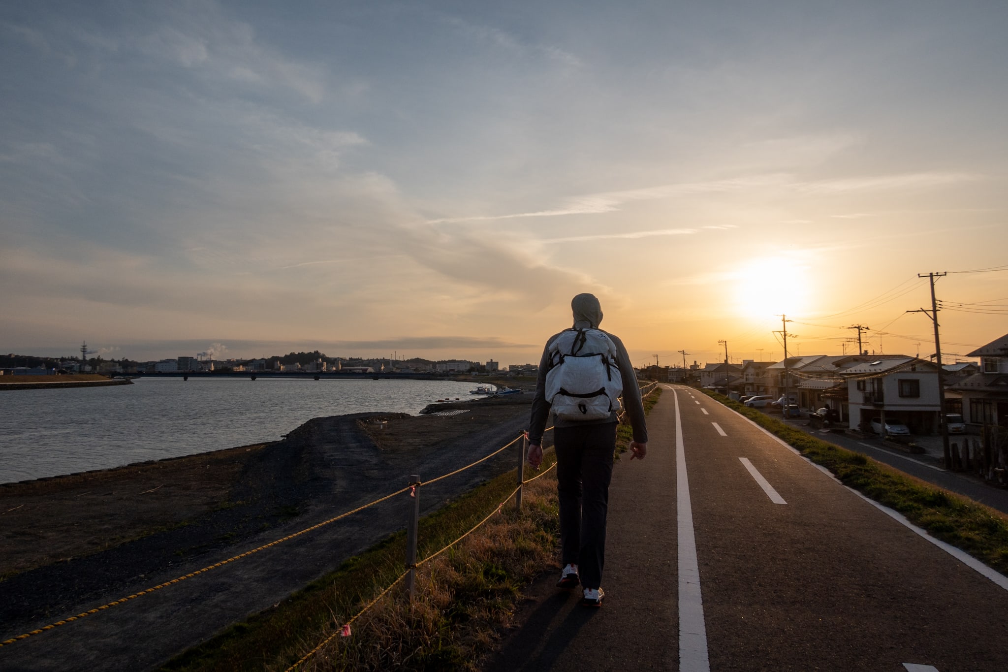
Ishinomaki Ferry Port: 35.5 km, Spent but Standing
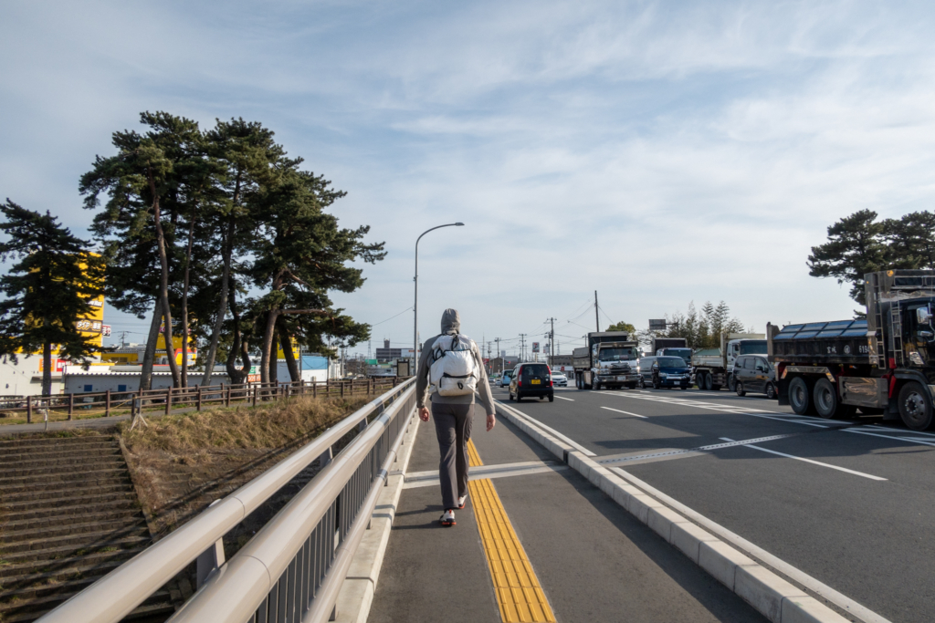
The last kilometer to the port was under heavy construction, and the MCT route was blocked, forcing us off the riverbank and through a residential detour. I tottered along narrow, zigzag streets; that final interruption made my feet feel suddenly three times worse.
We reached Ishinomaki’s central ferry port at dusk. The ferry we’d take the next morning for the MCT’s second island section was already moored.
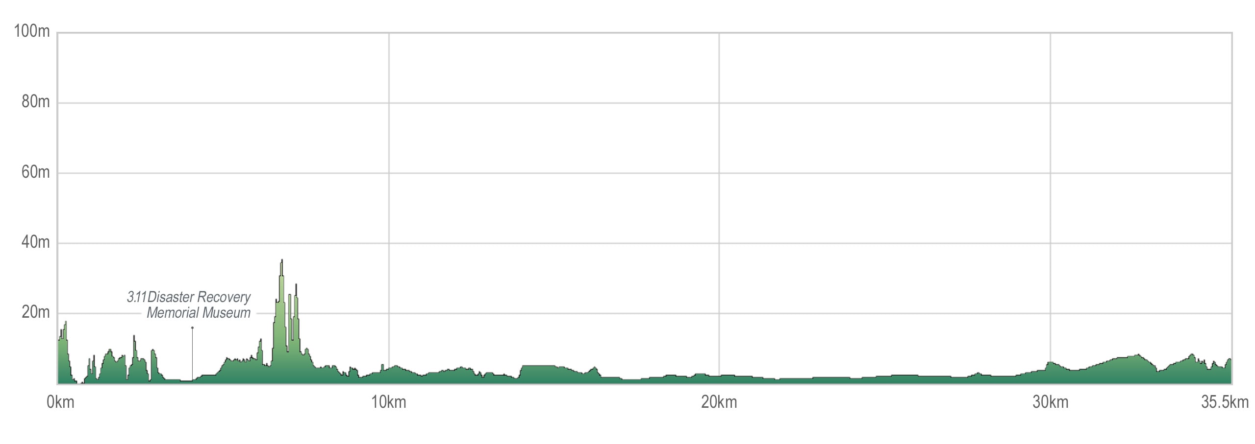
Today we set a new distance mark on our MCT hike: 35.5 km.
I felt a strong sense of achievement and honestly wanted to praise myself. After ten and a half hours on nothing but asphalt and concrete — look at me — I was still alive.
Much to our disappointment, there were no taxis at the port. I looked up local companies and called, but it was the evening commute, and every car was busy.
We started down a busy shopping street toward Ishinomaki Station, hoping to spot an empty cab. Before long — thank heavens — we saw a taxi stopped at a red light. Honestly, I was this close to not being able to walk another meter.
The ride to the business hotel we’d booked was fantastic. We even arranged a pickup with the same company for the trip back to the ferry in the morning.
All was well—very well—today.
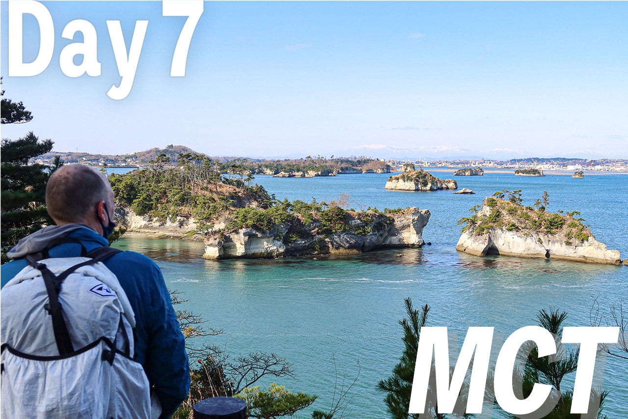
Day 8 – MCT
| Start | Minshuku Sakura-so |
| Distance | 35.5 km |
| Elevation Gain/Loss | 105 m / 108 m |
| Finish | Ajishima Line Chuo Port |
| Time | 10 h 30 m |
| Highest/Lowest Altitude | 42 m/ 0 m |
Route Data
The Michinoku Coastal Trail Thru-hike : Late March – Mid-May 2021
- The first and most reliable information source about MCT is the official website
- For updates on detours, route changes, and trail closures on the MCT route
- Get the MCT Official Hiking Map Books
- Download the route GPS data provided by MCT Trail Club
- MCT hiking challengers/alumni registration
Comments
List of comments (2)
Hello, we we’re thinking of walking the MCT next year in May right after the Golden week. I thought it would still be cool for a comfortable walk but you mentioned that it was hot during April. Would you suggest we walk on a different month? We did the 88 temple pilgrimage and hated the heat even in early November of this year. Your suggestion will be greatly appreciated.
Thank you, Rickey
Hi Rickey,
This year’s fall weather in Shikoku was quite unusual and I believe it recorded the historical hottest. So, I can imagine how intolerable the heat was for most Shikoku pilgrims. Usually the general temperature of fall in Shikoku is much lower and comfortable to walk.
As far as MCT hiking in May, we had warm and sunny weathers to comfortably walk everyday with occasional rainy days. On the contrary, April was more weird weather mixture, one day very hot and the other day cold rain (but no need to wear winter jackets).
It really depends on how many days and which parts of MCT you hike. If you go northbound like us, you can finish the Southern flat and concrete paved area at the beginning and can avoid direct sunlights in mountains and forests in the northern area as the wether gets hotter into summer. On the other hand, if you go southbound, you have to deal with hotter temperature on no-shade open flat area.
I’d suggest you to start walking in April and go northbound, especially if colder temperature is more manageable for you than hot