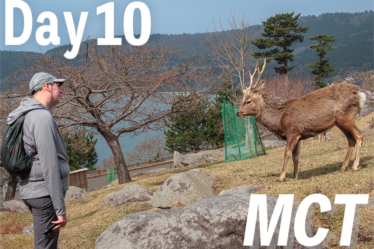
This guide explains how to plan the Urato Islands section of the Michinoku Coastal Trail — one of the route’s most logistics-heavy days — and why hiking northbound (NOBO) makes it easier. It outlines the four required boat rides across the Urato Islands and clarifies which boats run where.
You’ll learn when and how to reserve the special boat to cross the sea between Sabusawajima and Miyatojima islands, plus why getting these island legs done in your first 10 days removes a major planning headache.
You’ve probably heard me say it in every post so far: NOBO is the way to go on the Michinoku Coastal Trail.
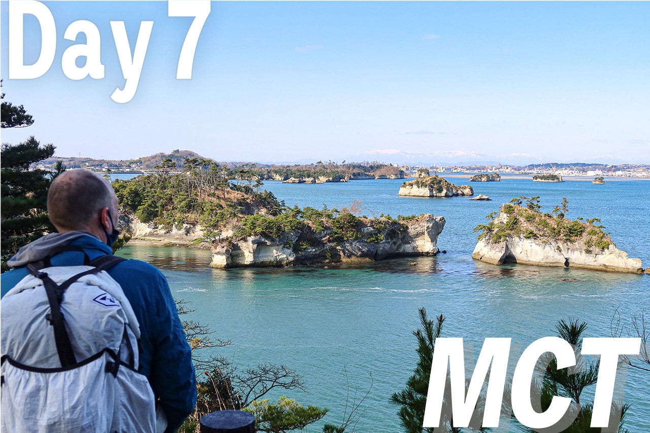
By the time we reached Day 7, it felt truer than ever — because the Urato Islands section (our MCT-Day 7) is one of the most logistically complex parts of the whole route, and doing it early in the hike takes a huge mental weight off your shoulders.
This is a practical guide — based on our own Day 7 — so you can glide through the ferries and little on-demand boats without stress.
Why this matters (and why NOBO helps)
Six islands on the MCT require boats.
Along the 1,000+ km route, six islands are only reachable by ferry or small boat. (There are a few other “islands” with full-sized bridges that feel like the mainland.)
It takes 3 days to clear the island legs.
No matter how fast you walk, ferry/boat timetables will set your pace.
Three separate sea routes.
One area has three islands linked together, another has two, and a final single island that is most challenging of all three to plan the trip. Each has different boats and timing quirks.
Going northbound (NOBO) means you tackle all island sections in the first 10 days
That’s a huge relief—complete them early, and you can walk the next 40+ days without worrying about boat logistics.
We started planning the three remote island sections before we even left home, doing the research and arranging the first bookings in advance.
The key is to check the ferry timetables and fares carefully, then estimate how long each island walk will take so you can reach the next port in time for the boat. Missing one ferry can throw off the whole day’s rhythm — or even your overnight plans.
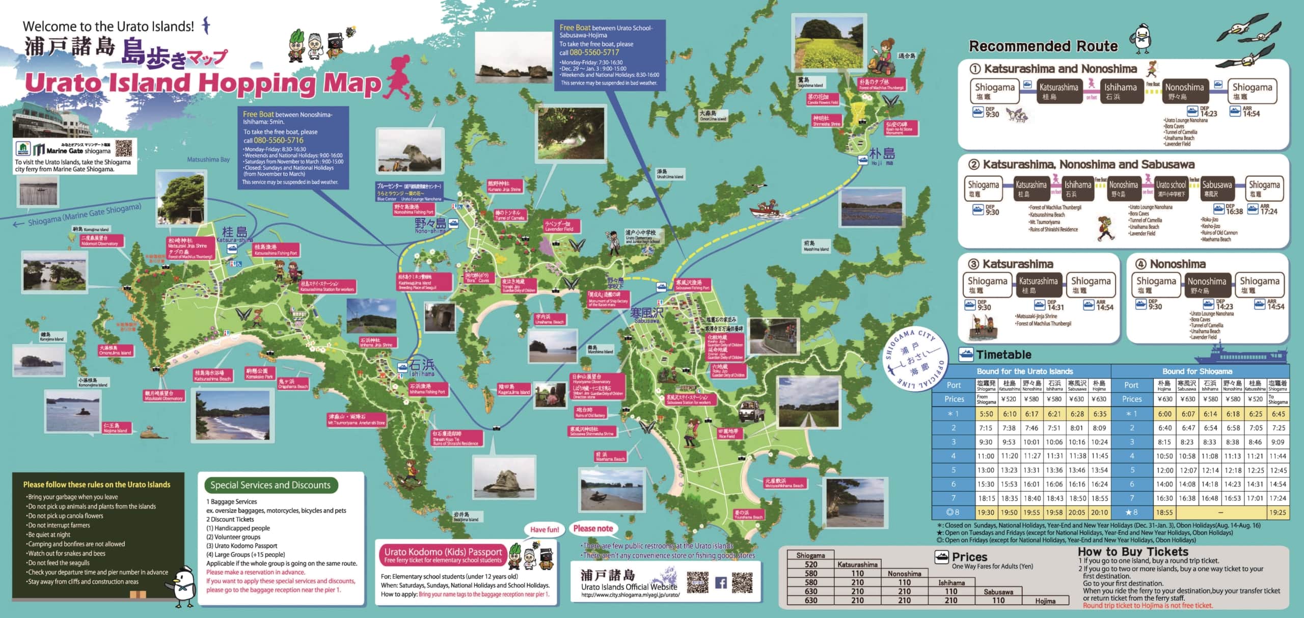
Urato Islands at a glance
Urato Islands 浦戸諸島 are the first “boat day” for NOBO hikers.
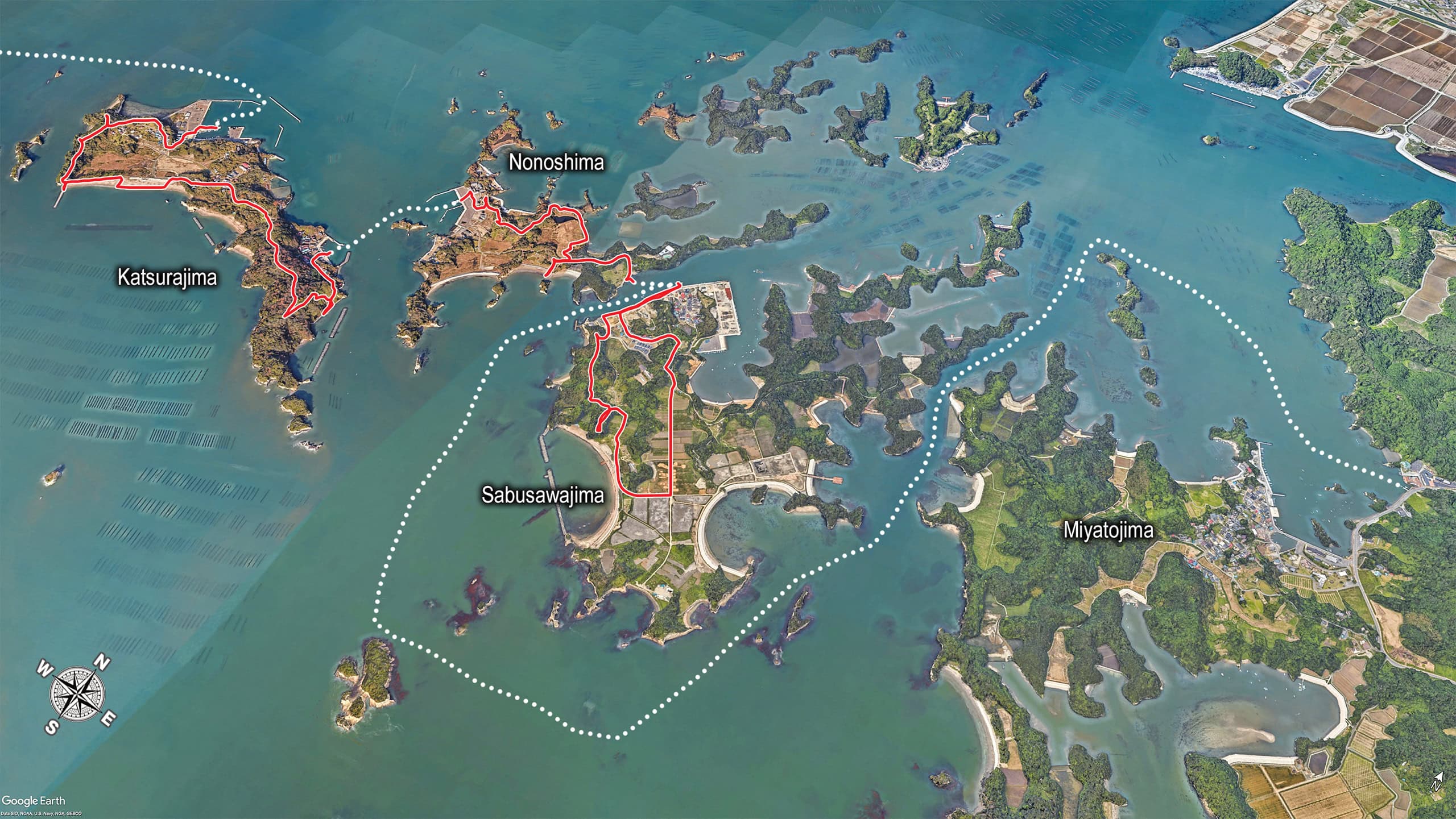
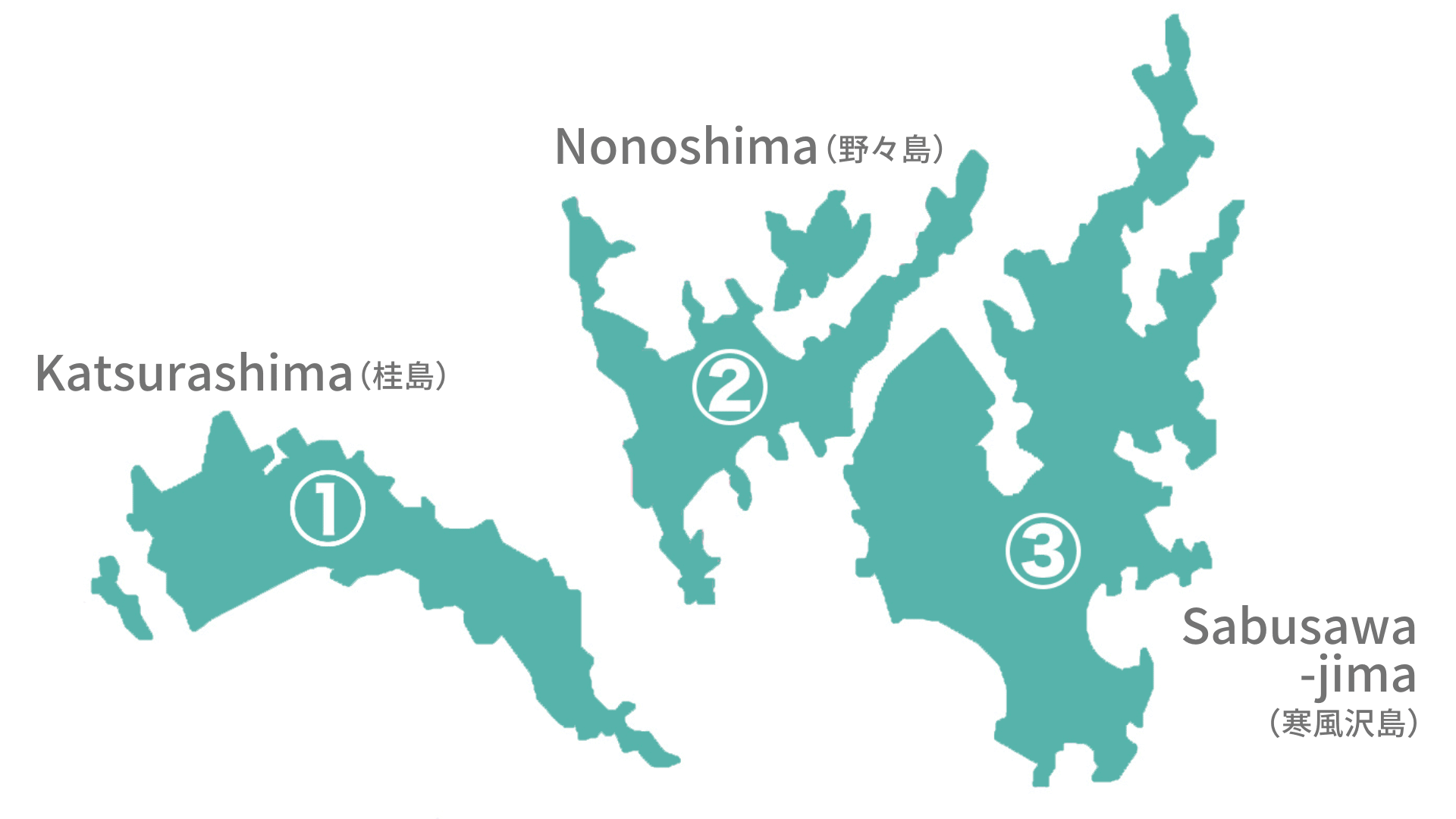
The three main islands (west to east): 1. Katsurashima 桂島 2. Nonoshima 野々島 3. Sabusawajima 寒風沢島

The three major islands are only meters apart — a good swimmer could probably cross between them. But for us regular hikers, small ferries are the only way to go.
You’ll finish on Miyatojima 宮戸島 — a larger island connected to the mainland by a regular bridge. It’s not part of Shiogama City but belongs to Higashi-Matsushima, which is why the Shiogama City ferries don’t go there.
Boats: what runs where (and why this part is “tricky”)
Hikers need to plan on four boat rides to complete the Urato Islands section.
| From | To | Ship | Fare |
|---|---|---|---|
| Shiogama port | 1. Katsurashima | Shiogama City Ferry | 520 yen |
| 1. Katsurashima | 2. Nonoshima | Interisland Boat | Free/on demand |
| 2. Nonoshima | 3. Sabusawajima | Interisland Boat | Free/on demand |
| 3. Sabusawajima | Miyatojima | MCT Supporter’s Boat | 3000 yen |
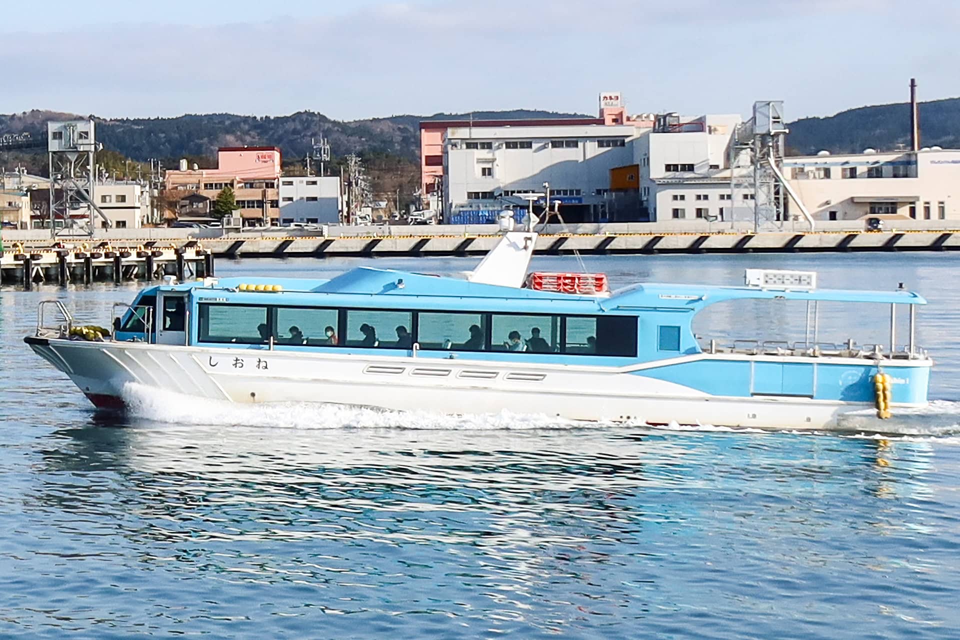
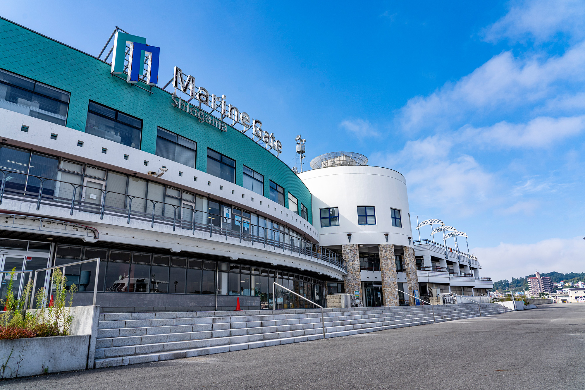
Shiogama Municipal Ferry 塩竈市営汽船
Departs from Marin Gate Shiogama and serves Katsurashima → Nonoshima → Sabusawajima.
Important: after Sabusawajima, this ferry returns to Shiogama.
It does not continue to Miyatojima (different municipality).
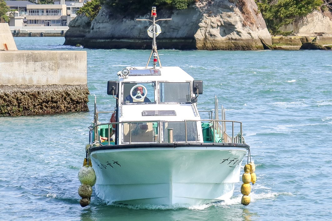
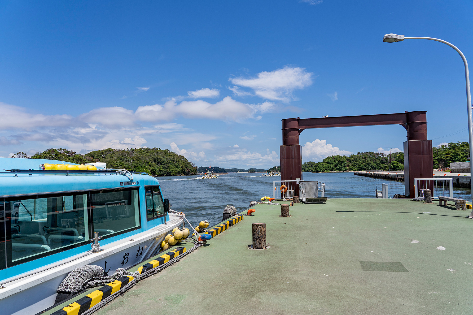
Free on-demand interisland boats
Shiogama City operates small motor boats that run on demand between the three Urato islands during operating hours. At each island port, there’s a posted phone number—you call, and they come get you. This is often more flexible than trying to match your hiking pace to a fixed ferry timetable.
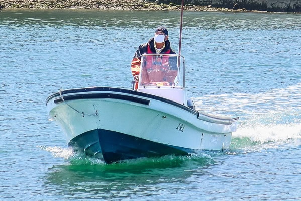
Special supporter boat: Sabusawajima ⇄ Miyatojima
This is the big one. To cross between Sabusawajima and Miyatojima, you’ll need a special supporter’s boat. There is no regular ferry for this leg.
Booking is mandatory !! (see the box below)
Do not count on turning up and finding a ride — this is a special boat run by supportive local fishermen and coordinated through the MCT team.
Who to contact:
When to book:
Season:
Weather matters:
MCT Natori Trail Center (Call them; they’ll arrange the supporter boat for you)
At least 5 days in advance of the day you plan to cross. Earlier is better.
April 1 – October 30. (No service November–March)
If sea or wind conditions are unsafe, they may cancel. Have a backup plan to return to Shiogama and reroute via the mainland.
We planned our entire early itinerary around this. Starting NOBO on our chosen date meant our Urato day landed on April 1—the first day the service operates. Phew.
With our boat date set, we called the MCT Natori Trail Center to make the booking.
They keep a list of MCT supporters — local fishermen who help hikers cross the sea between Sabusawajima and Miyatojima.
A few days after our call, a staff member from the Trail Center phoned us back with our assigned supporter’s name and phone number. We were told to contact him one day before our Urato Islands hike to confirm the weather and sea conditions. Depending on the waves and wind, it might be too dangerous for a small boat, and in that case, he would have to cancel the trip.
Useful links (check for updates)
Must-read
Shiogama–Urato Ferry Timetable & Fares
Check the latest Shiogama City Municipal Ferry schedule and prices.
Free interisland boats
Operating hours and phone numbers to call “on-demand small boats” for Katsurashima–Nonoshima–Sabusawajima islands.
Urato Islands Tourist Guide Map
Download the official Urato Islands Tourist Guide Map before you go. (Click the map images to download)
Note: The map was renewed and currently only Japanese version is avairable
The Michinoku Coastal Trail Thru-hike : Late March – Mid-May 2021
- The first and most reliable information source about MCT is the official website
- For updates on detours, route changes, and trail closures on the MCT route
- Get the MCT Official Hiking Map Books
- Download the route GPS data provided by MCT Trail Club
- MCT hiking challengers/alumni registration
Comments